free to be able to rate and comment on reports (as well as access 1:25000 mapping).
Needing the exercise and with the forecast for the west not great I decided to pick off another Cairngorm peak. To be honest the forecast later on for the Cairngorms wasn't great either and as per usual I am setting off late

Got to the car park and assembled my mobility allowance; this would be another bike hike and I was quite interested to see how far up Beinn a' Bhuird I could take the bike

I would be taking in the Quoich loop as suggested by WH, so over the bridge

The water under the bridge at Linn of Quoich after the torrential rain the day before looked quite deep and fast flowing, so an instant return for the water moccasins. BP & Cos recent report had said little water in the crossing further on, but that was then, this is now as the song goes.
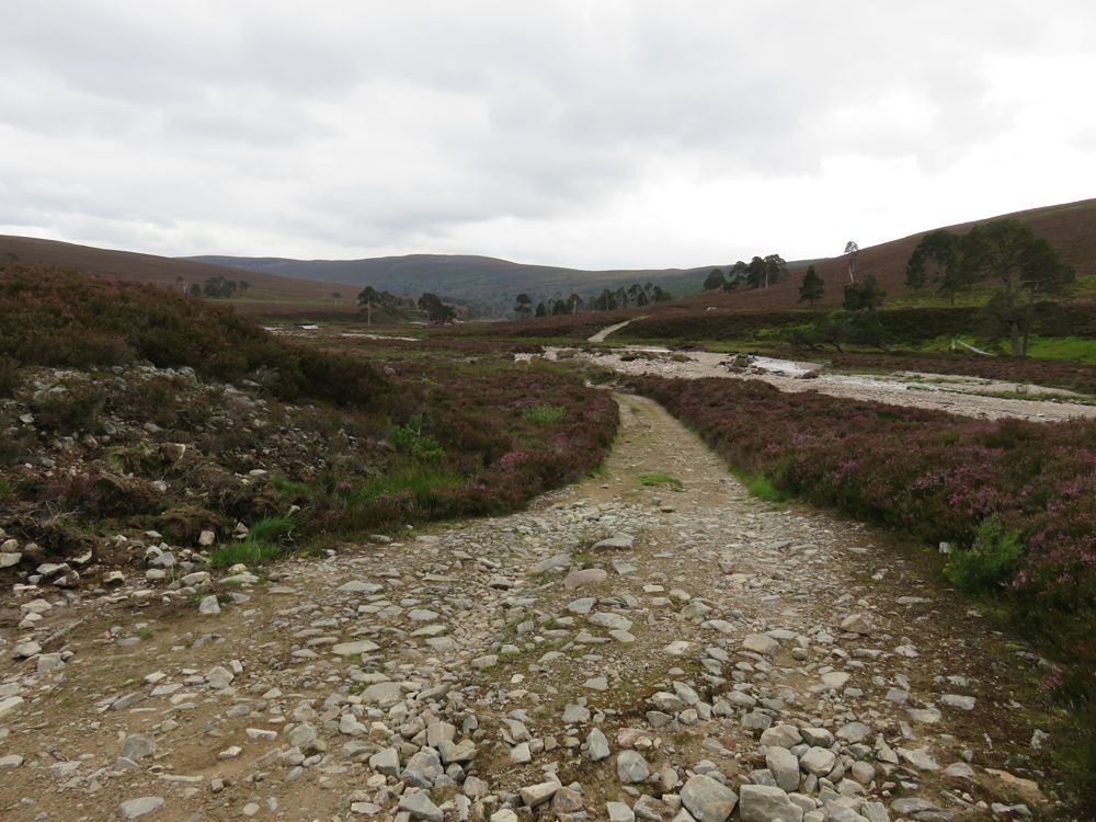
Managed to overshoot the turn off, but quickly turned round and was on a good track in
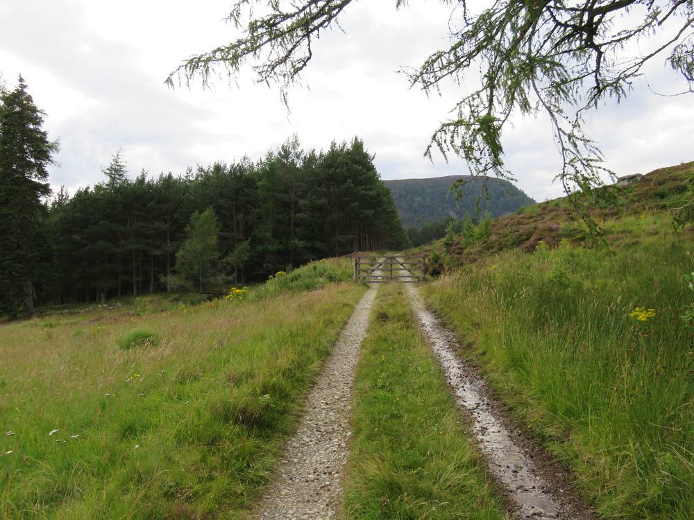
To be honest is was a bit bland at this stage; just chugging along the winding track
although there were a couple of small streams to cross and the contrast of of purple heather and bright green grass and ground foliage is striking, sadly the camera didn't do it enough justice to post a photo.
There are some mountain views to the south
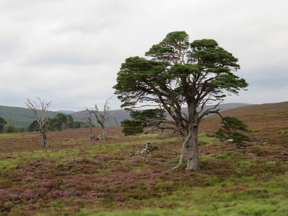
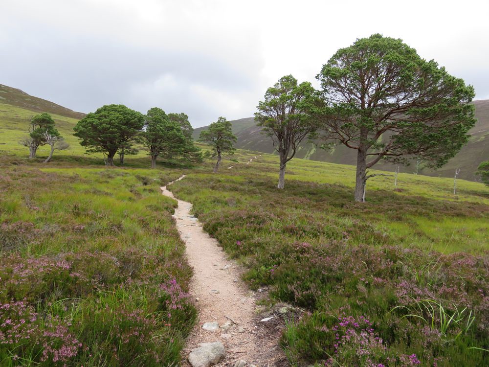
but generally the points of interest are the old pine trees
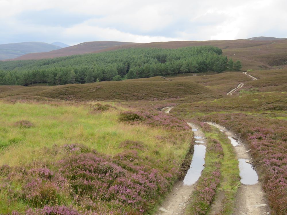
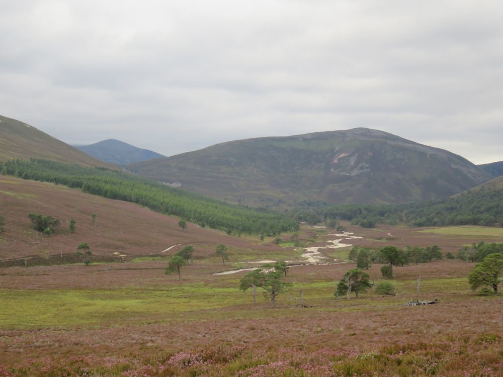
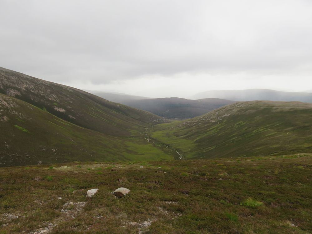
until I rounded Carn Elrig Beag and the Cairngorms start to reveal themselves, Carn Allt na Beinne straight ahead with the white of Dubh Ghleann, the water that needed crossing on the way back
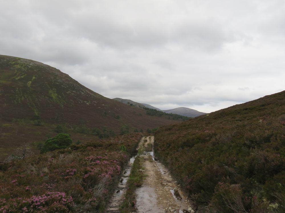
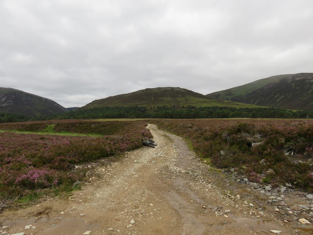
You can also see what I am hoping would be a better track on the way back. The track I am on is getting increasingly boggy; there was a lot of rain yesterday and the ruts make cycling a bit of a mission in places as well, but generally I am making good progress.
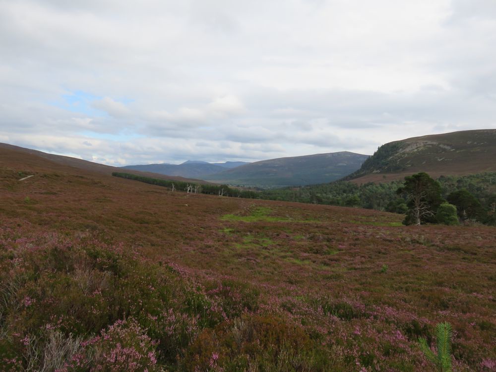
A view north east before the turnback at Quoich fords
At this point I had a debate with the sat nav about where this path actually led and where Beinn a'Bhuird was
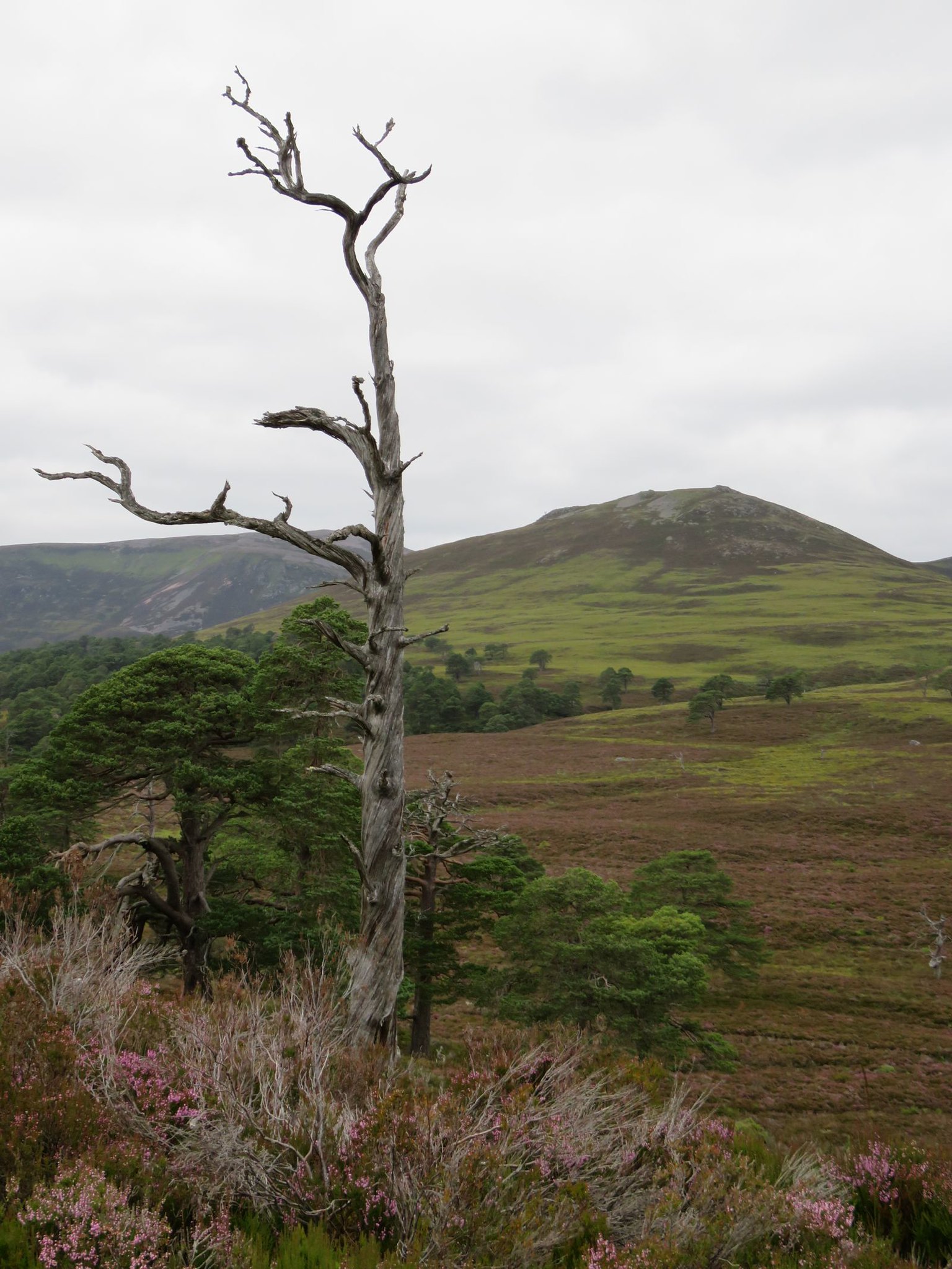
before carrying on past the Twisted Tree

 Larger image on Flickr
Met the only walker I saw all day very shortly before the fords and he explained where the path led and generally about his day. He had come up on the track on the other side of Glen Quoich, then up the track which is to the side of Carn Allt na Beinne to Beinn a'Bhuird and then on to Ben Avon and back down to here somehow; a long walk

He had a big smile on his face and enthused about the views

Down at the fords the river is too deep for straight across, although if you wanted to expend the energy there are plenty of boulders around which you could use to build a causeway
I managed across via the fallen, perhaps placed tree centre right just below the big pine. Even though, the bike was placed in the water, jamed against the fallen tree and I actually used the frame as a stepping platform as well. Got to the other side and hauled the bike out.
There were a few other water features to negotiate and I cycled through a very deep puddle in one of the track ruts. If you were walking you could easily skirt round them.
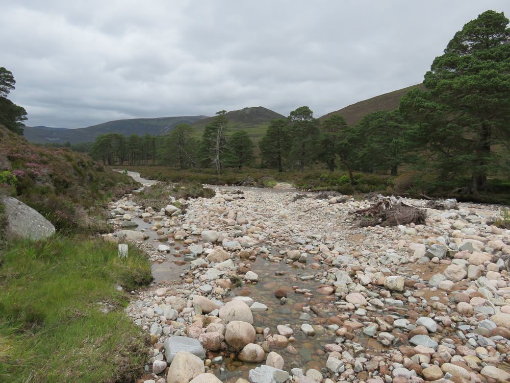
It's a very typically Cairngorms area with the white round boulders in the rivers and the pine trees.
Got to the junction of the Quoich and Dubh Ghleann
which I would have to negotiate on the way back
and up the track
On getting to the trees there was a flock of very small birds chirping away and flying from tree to tree, Gold Crests possibly
I really couldn't tell, they were very small and I never got anywhere near getting a photo.
Wired up the bike at the start of the path and hid it in the heather, got the poles out and onwards an upwards through the short section of pines

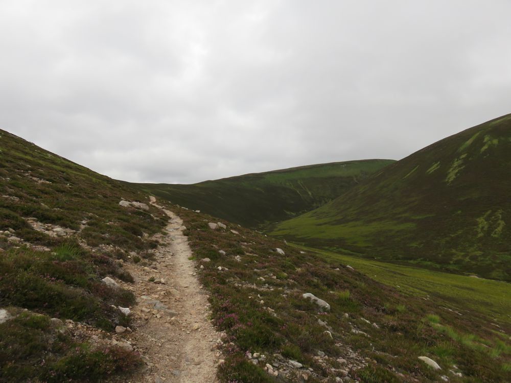
Turns out that after a short distance, perhaps a hundred metres the path becomes flatter and better laid, gravel, and so pushing the bike up and rolling back down would be feasible more or less from the top of where the bulldozed track used to end at the top of the Allt na Beinne, though it would be tough going pushing it up mostly and you would need to be pretty skillful to ride all the way back down.
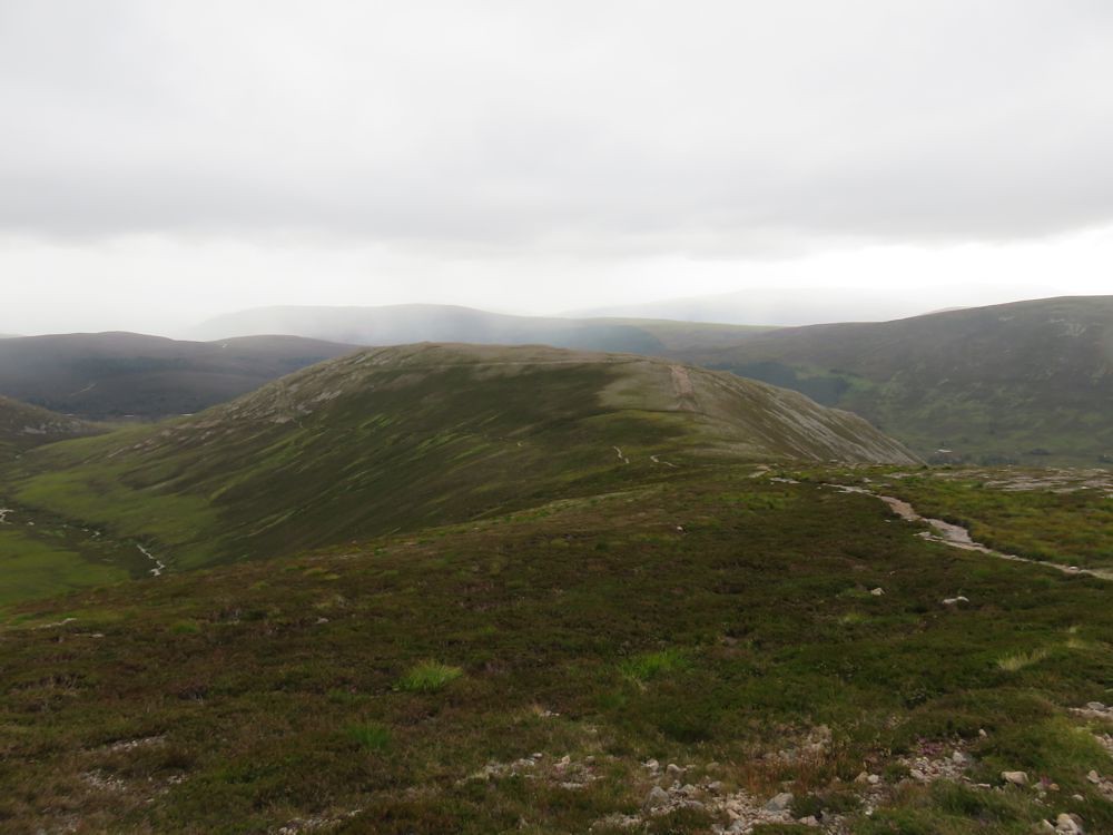
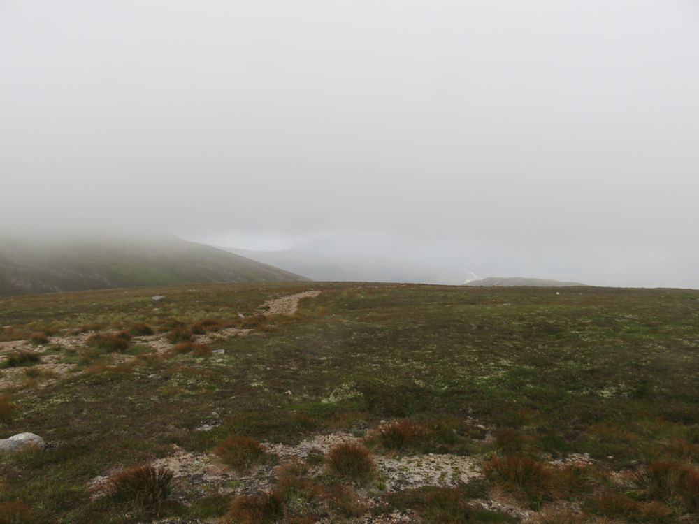
It's pretty apparent now where the path leads and where Beinn a'Bhuird is
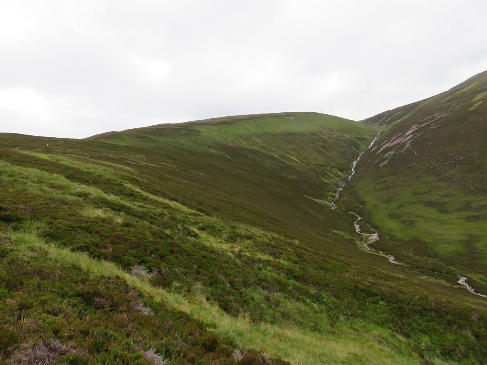
The Allt a' Choire Ghuirm is an impressively steep stream as is the Allt na Beinne
Got to the shelter at the turn up the ridge and some last views
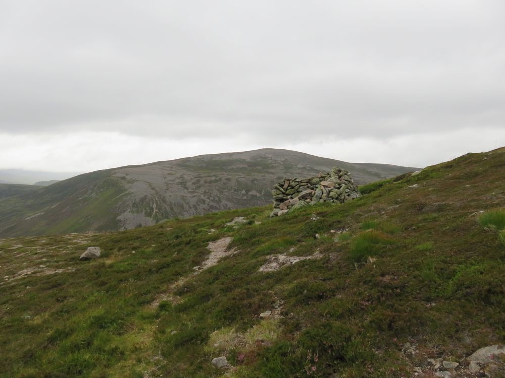
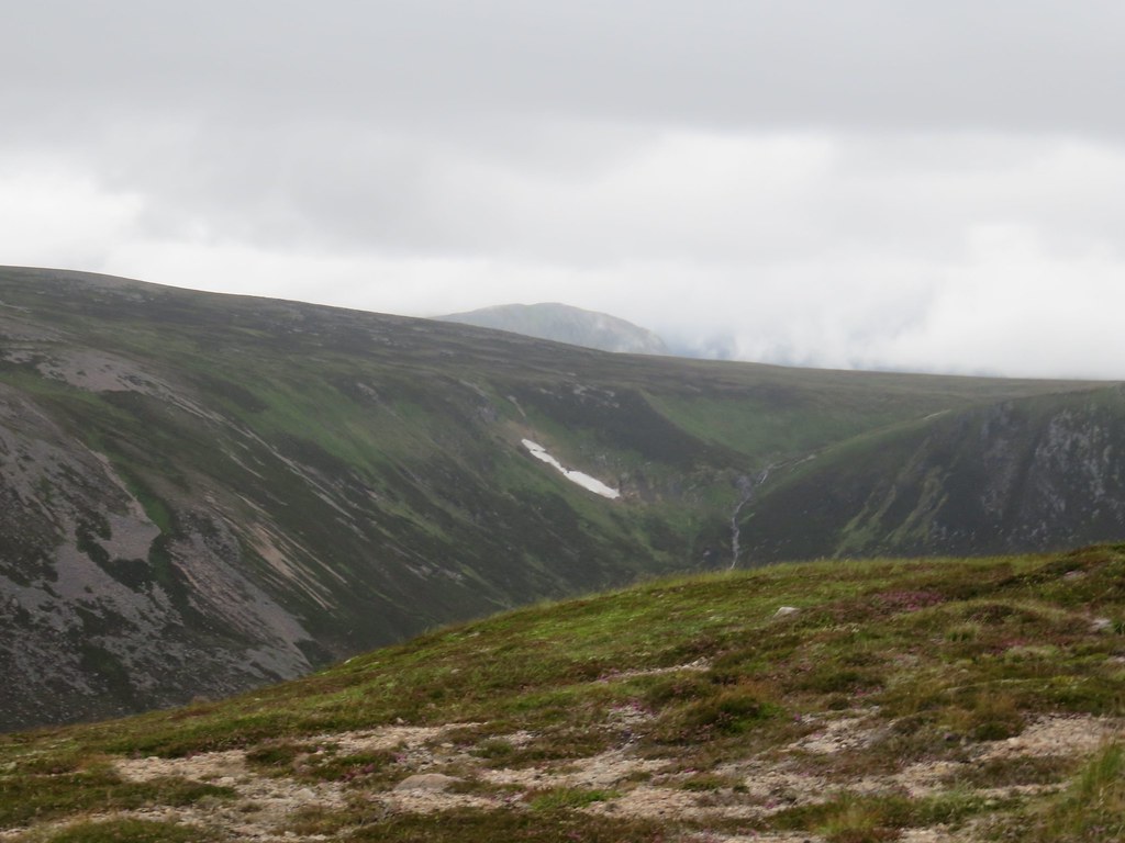
Looking back
before I was in the clag

I put on the waterproof jacket; it was warm and up until now I'd only had a tee shirt, interestingly I also put the phone / satnav in it's waterproof bag
a bit ominous
another ten minutes and it was persistent light rain.
So it was straight to the summit, luckily there is a well defined path most of the way and I can see the edge of the cliffs I was skirting along. In the winter these would more than likely have cornices and great care would be needed in poor visibiliity.
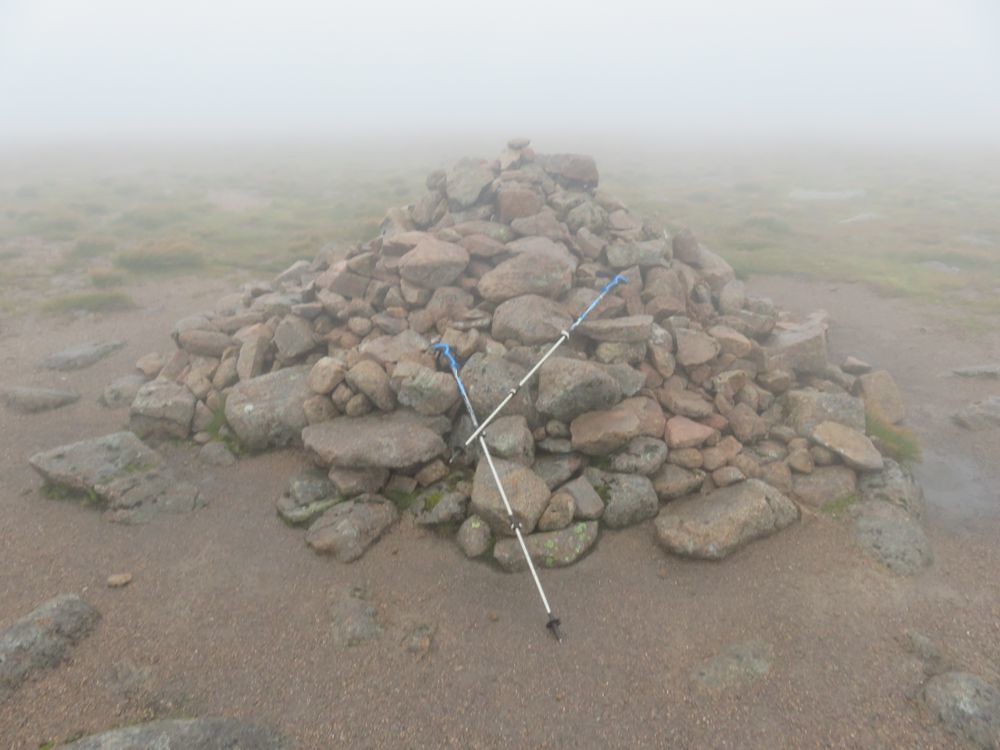
The summit and it is touch and go, or photo and return
The wind was blowing as it said it would in the forecast and I dropped a little low going with the breeze as it were. In this visibility I made sure to get back on the path asap. Now I wanted to get to the bike and across the river while there was still some light.
Got back to the bike and replaced the batteries in the head torch; what a difference

very bright
Managed the crossing without having to take my boots and socks off and don the water moccasins

but I'd crossed slightly early and had a few smaller steams and high heather to negotiate before getting on the track.
As I suspected the track is better this side and I am making great progress in the total darkness until
no track
The river had washed out and there was a bypass path for a hundred metres or so before rejoining the track. I'd have taken photos, but it was pitch dark by this time.
Back to the car another Munro in the clag, sais la vie
Check out
BP & Co's report for the views and photos I was hoping for from the summit plateau.
