Beinn Bhuidhe what waterfall ?
Despite the forecast I decided I had a waterproof jacket and anyway it was warm and like most of us I'm actually waterproof as well
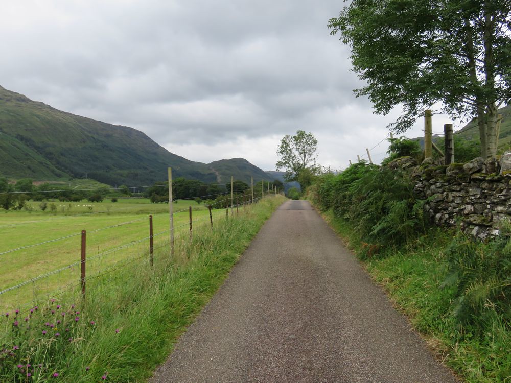
The drive up Glen Croe to the Rest and be Thankful and Loch Restil is stunning, would have been nice to park at the top and enjoy it for a while, but there were as always time issues.
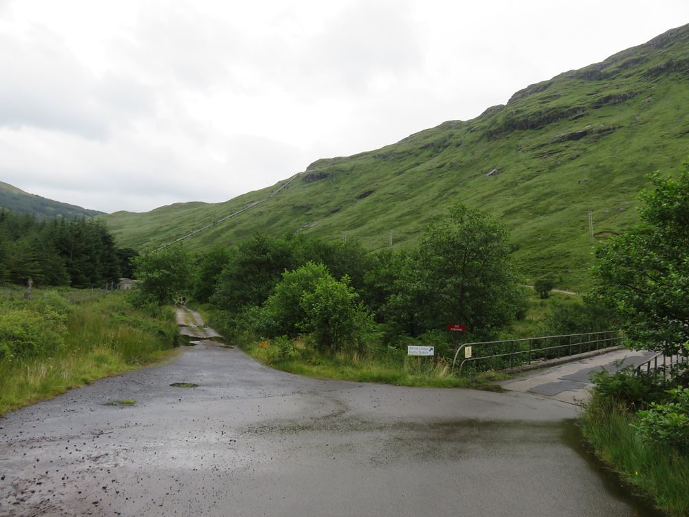
Got to the car park, got my kit on, assembled the bike, made my way across the bridge
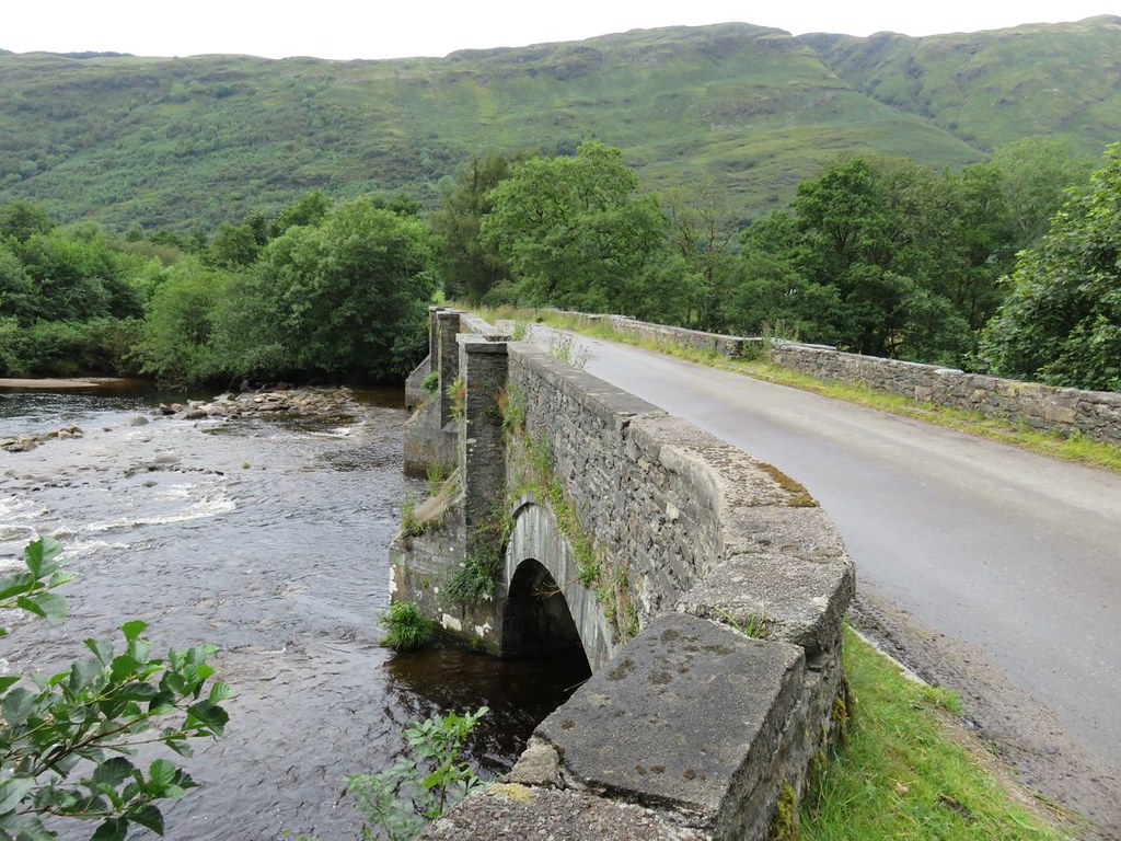
past the brewery and up the very good tarmac road
I wasn't sure at this stage what I would do; the WH route or ride up the new road
Oh and the other option I'd considered tentatively looking at google earth was to go up the old hydro road and along the Corryvichaten forestry track and down to what looked like a bridge on the OS map so that I could take my bike all the way to the start up to Beinn Bhuidhe.
Wasn't long before I got a first view of the new road, it looks very steep, I'd definitely be pushing up all of that
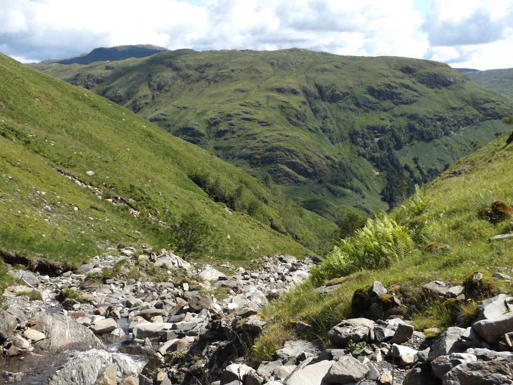
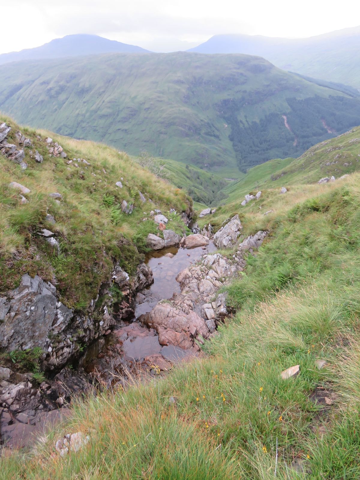
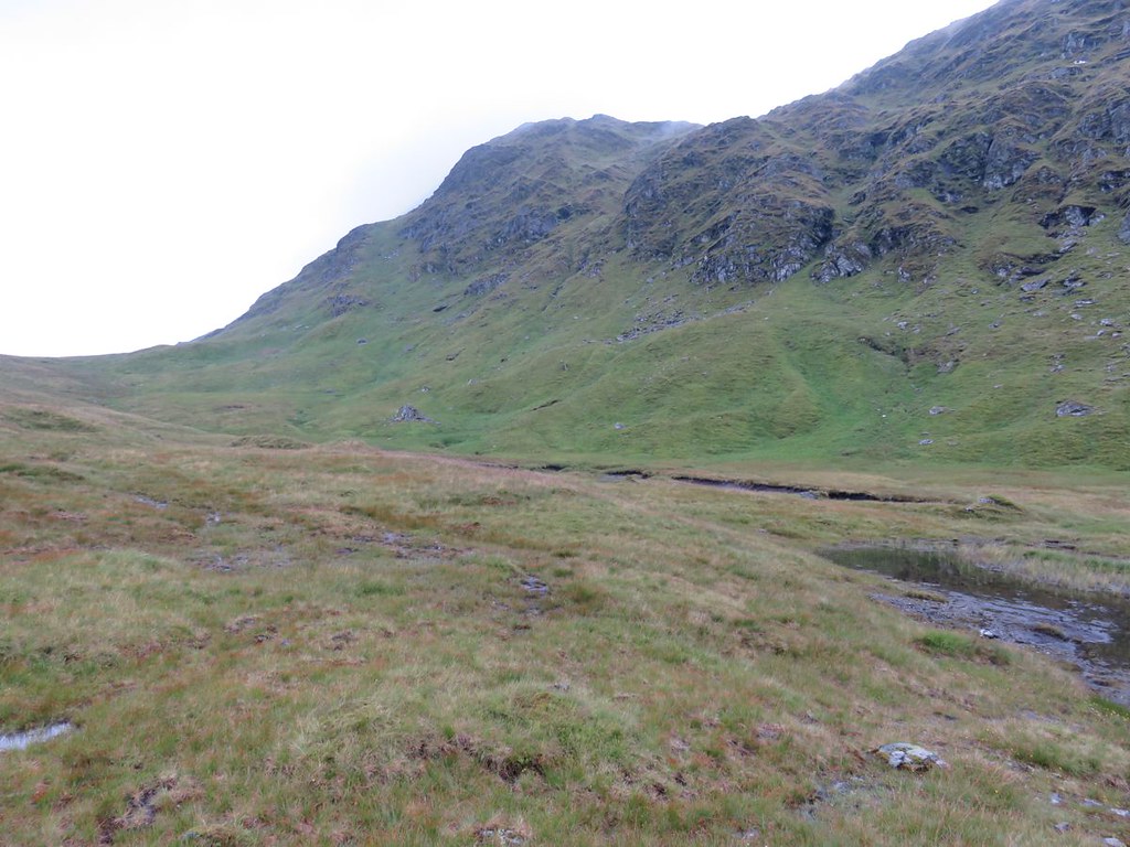
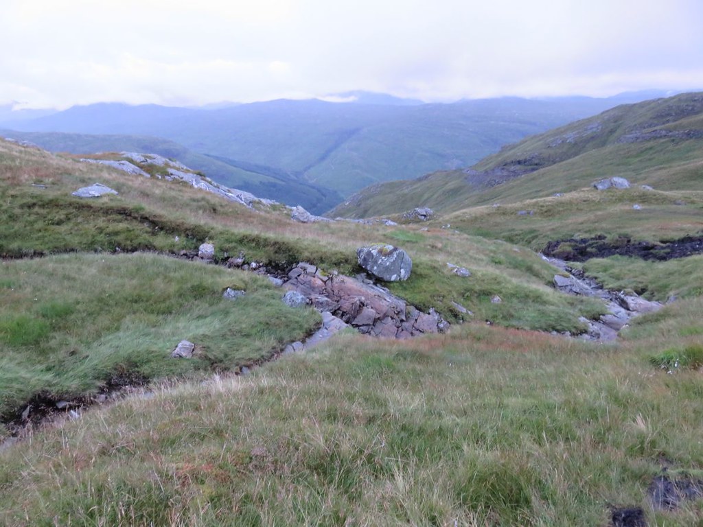
Some nice views on the way in. With this summers rainfall steep streams are very much in evidence
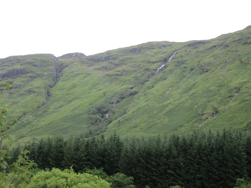
and whats that across the gorge on the left
A hydro pipe and walkway
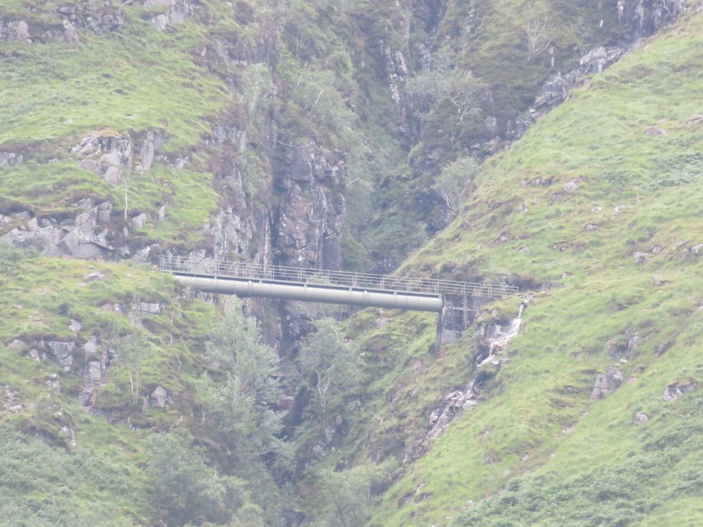
Whatever your opinions you got to admire the human beings ingenuity and technical ability.
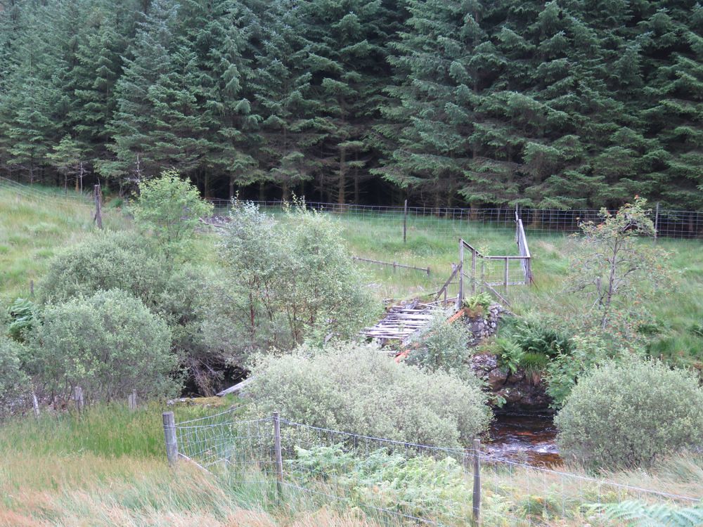
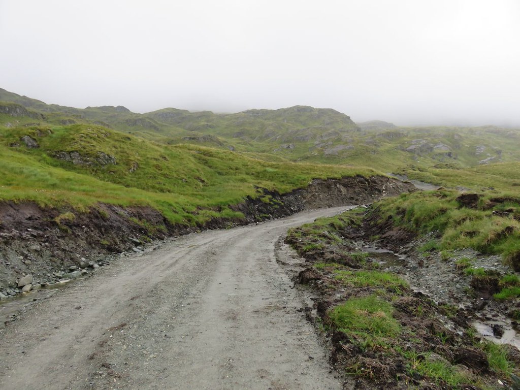
The road after the bridge over to the hydro station isn't tarmac, but is still good
The water under the bridge here goes over what looks like an old dam, definitely looked like man made, but camera was on a strange setting while I was trying to get some photos of the many dragon flies around, they never landed and I never got a photo.
A couple of ladies coming back cycled past and said hi.
Chained up the bike; I couldn't find any definite information on how far in you are allowed to cycle, so here you are
56°18'27.63"N
4°51'46.53"W
Tried to upload a google earth pin, but not allowed on WH.
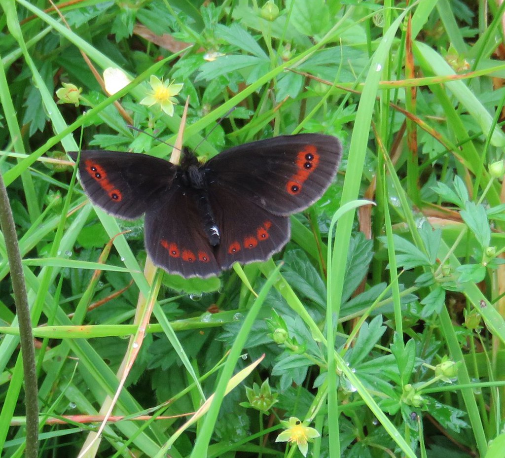
Loads of these black butterflies on the track to the cottage
It doesn't take long to walk to the abandoned cottage, not sure why they don't let us cycle all the way
The cottage isn't all that abandoned as the roof looks maintained and has new skylight windows.
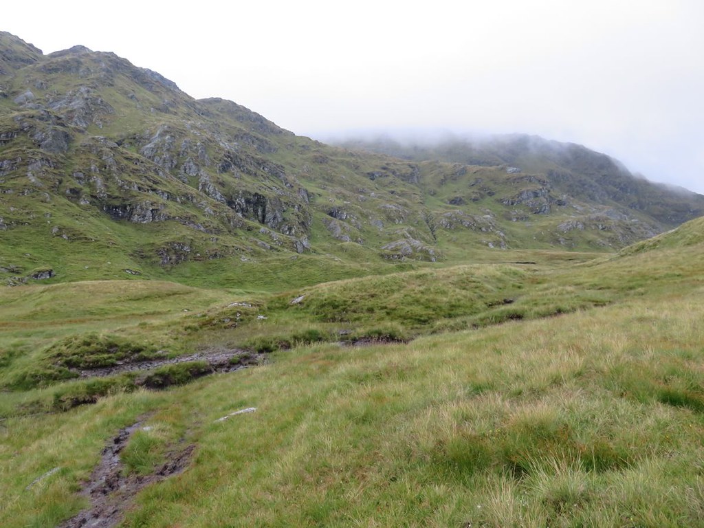
All the while I looked across to Corryvichaten forest to check out the possibilities. There's no possibility unless you are in it for punishment. The forest is dense and steep. There are landslips and the firebreaks look very overgrown. To cap it all; there is a bridge back over to just after where the cottage is
and I wouldn't be trundling my bike or myself over it.
Sorry about the long entrance to this report about hiking up a mountain, but this is over half the journey.
Anyway on up Beinn Bhuidhe
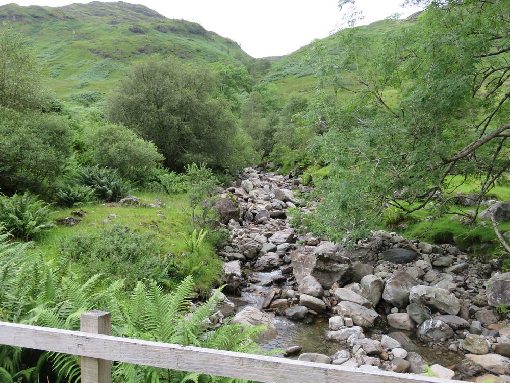
View up from the bridge just past the cottage
Got on the path and started up through the fern forest, a machete would have been more helpful than the walking poles at this stage
It is though as described by spiderwebb bonny.
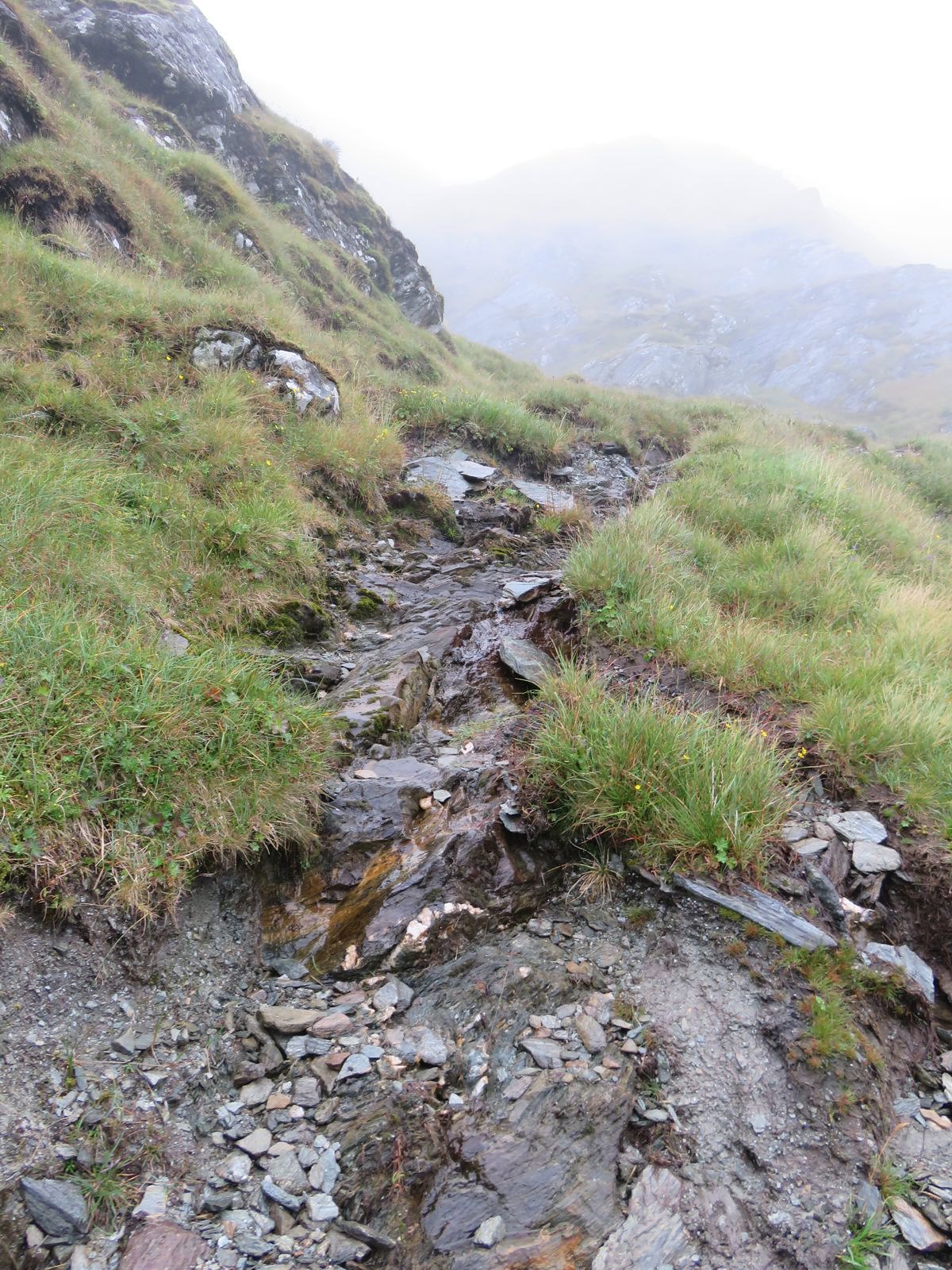
There was evidence of a few landslips on the cycle in and just above the Allt na Faing; great name, what does it mean
Further up the ferns relented. Chatted to a couple coming back and said all the wrong things, opps
Talked about the bike taking all the sting out of things; they hadn't taken theirs
If they are reading, my apologies and I hope that by walking in and back you got to see some amazing wildlife and scenery.
They had said they hadn't done the bad step, but there was a bypass path.
I got there, here I assume
I couldn't see a bypass path, I'd looked above, but on getting past, it looks like it is below.
No probs though I stashed the poles and put on my gloves, it looked like there were lots of holds and it would be easy
It is easy, once you get the first step out of the way. You need to get your foot up high to push up and get the hand hold on the middle left and then it is tamed
Carried on and the path is now similarly tame so stopped and got the poles back out. A family came down and chatted for a while before the midges assembled for free lunch. They'd decided to cross over at this point and go down the other side which was an option for me on return as time was now getting on. They gave me some helpful tips and info about the path on the way up; thanks
Here's a photo in which you can make out the family centre, red dot is one of their jackets and the route they took over to the other side
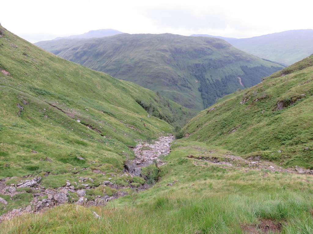
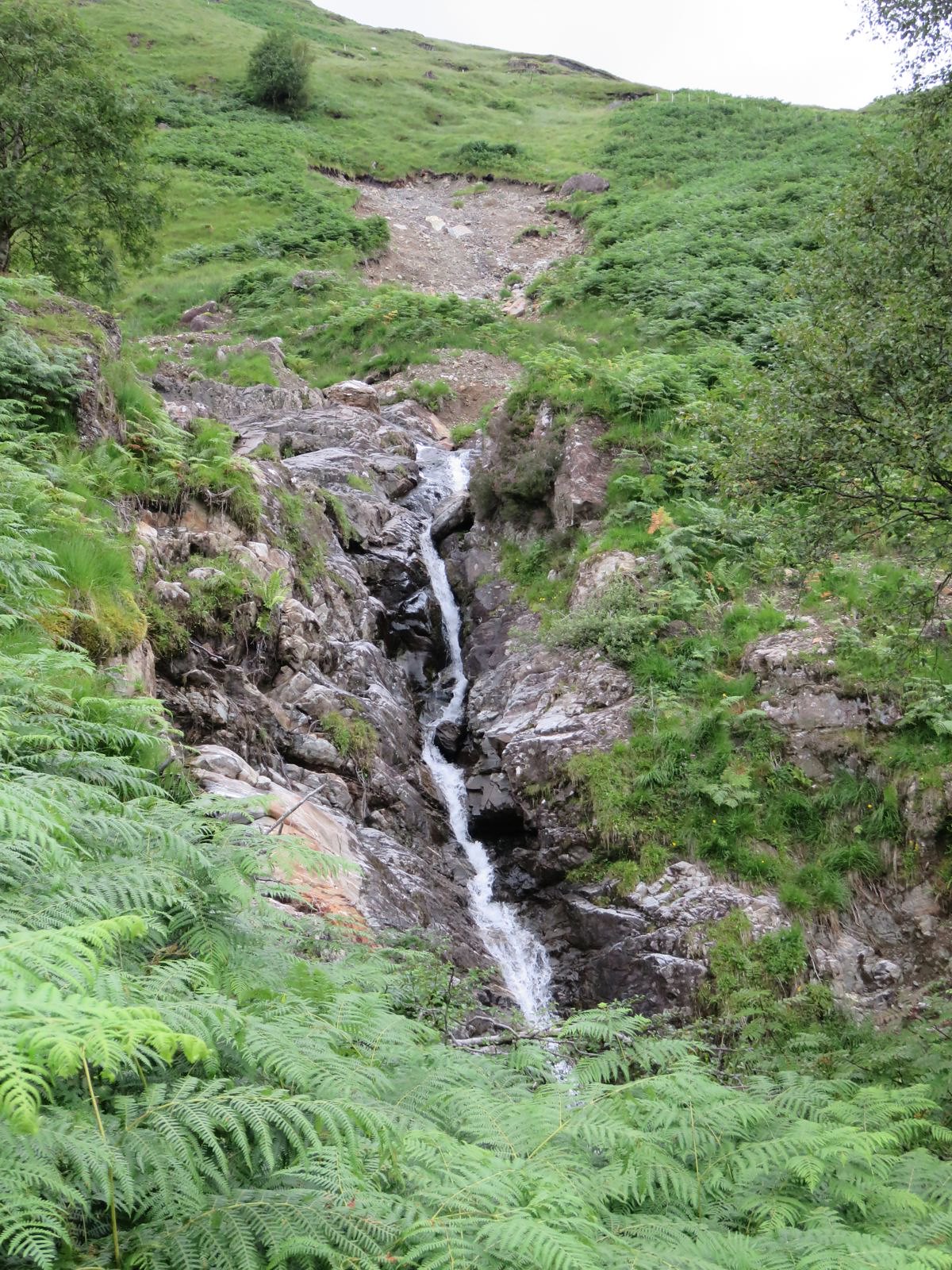
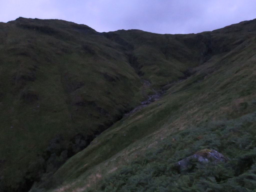
As you can see the Allt is easily crossed at this point, also a view up to the waterfall
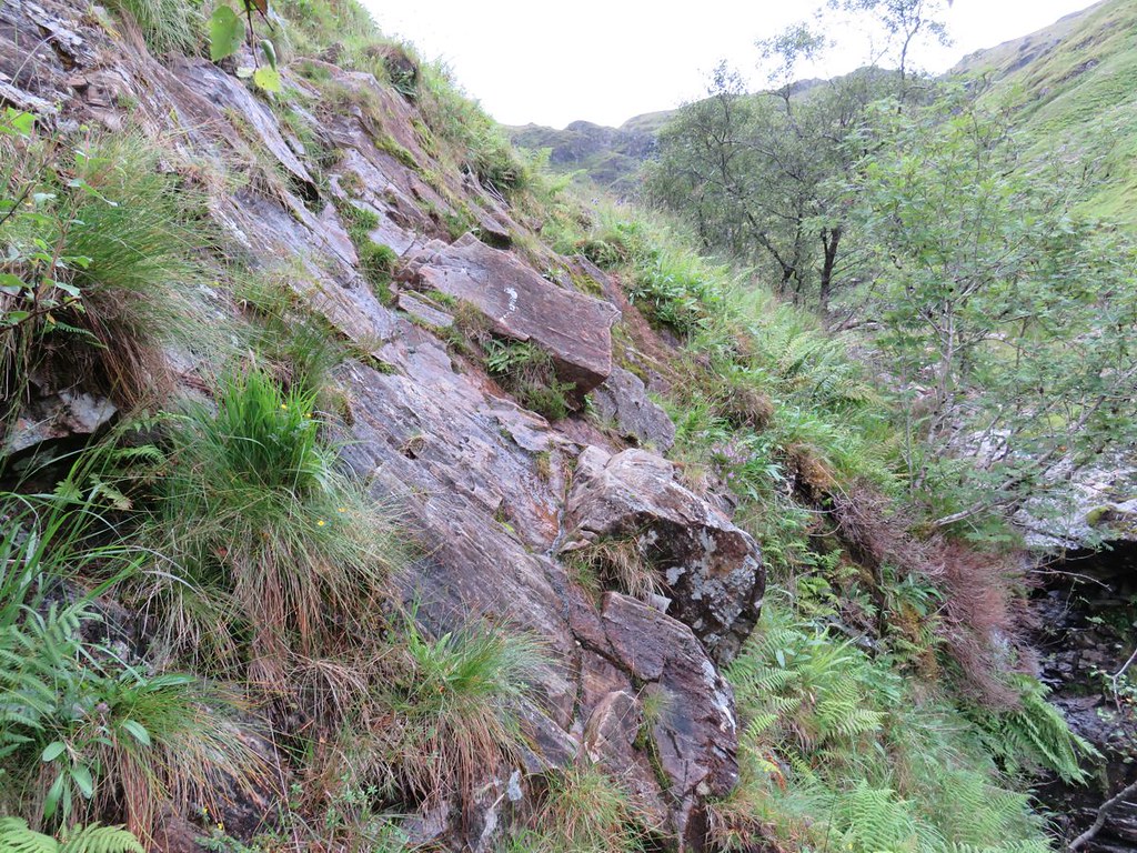
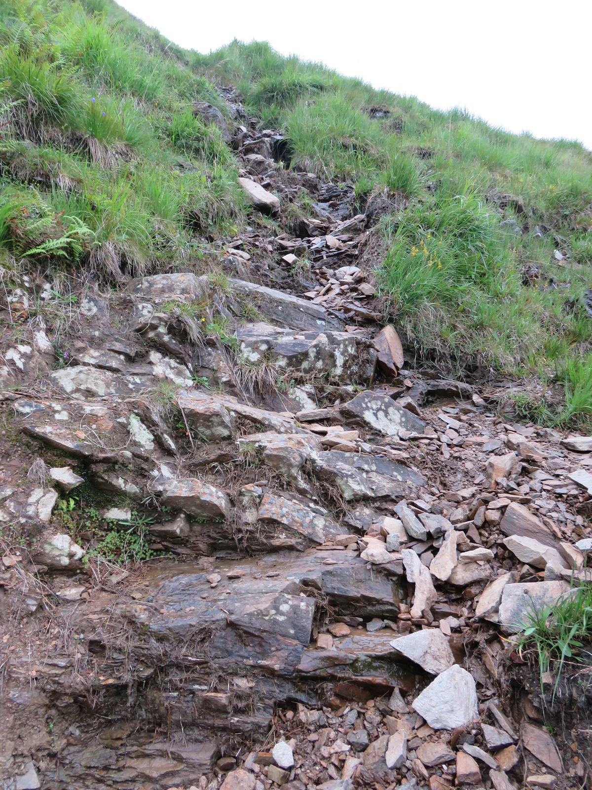
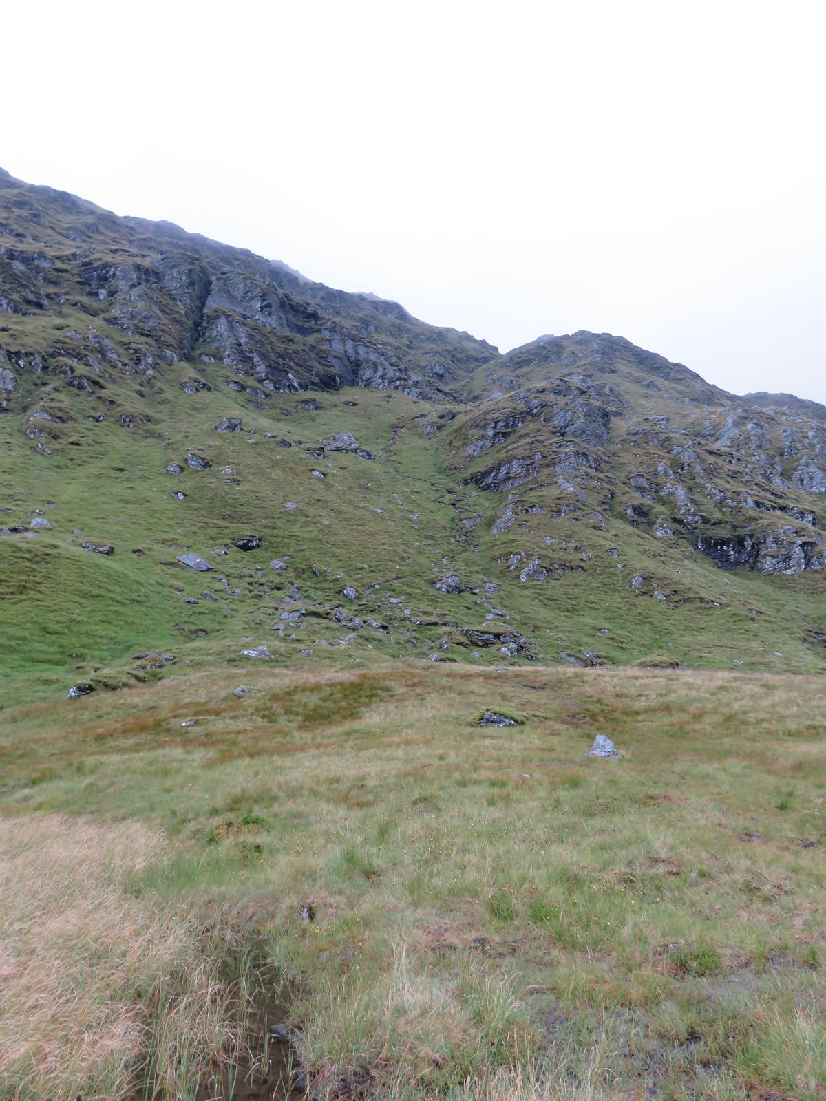
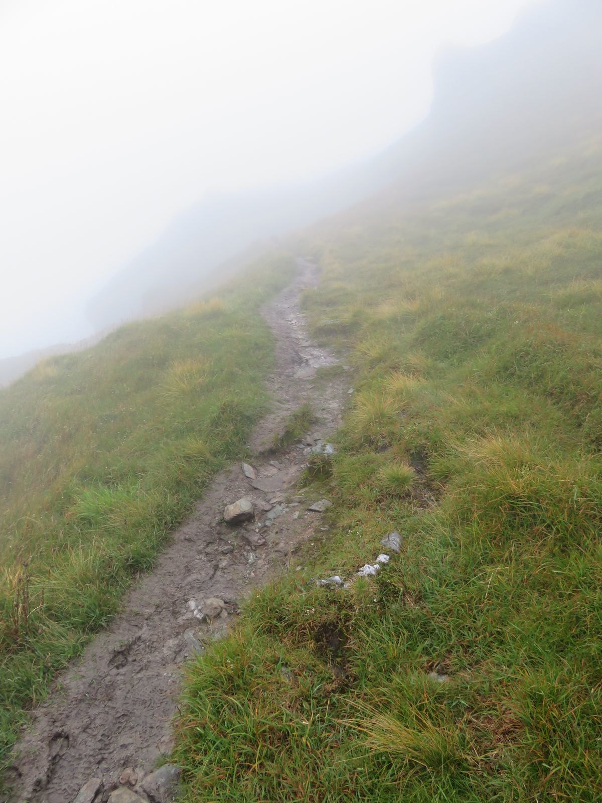
From just past the bad step the path gets steeper and can be a bit loose
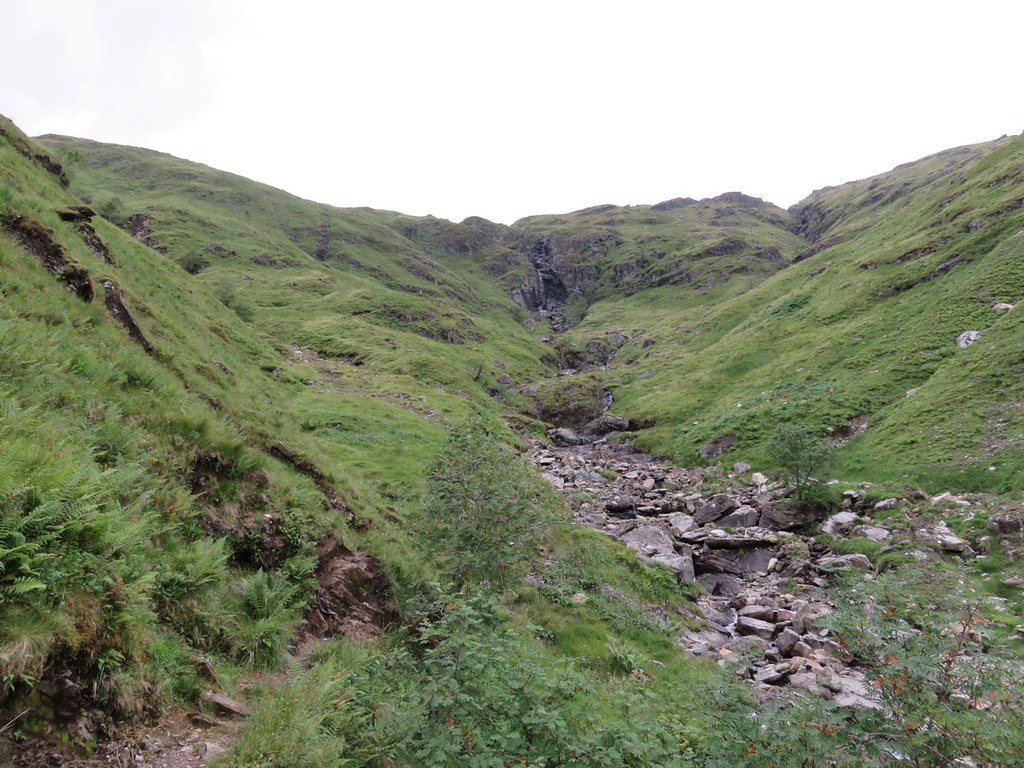
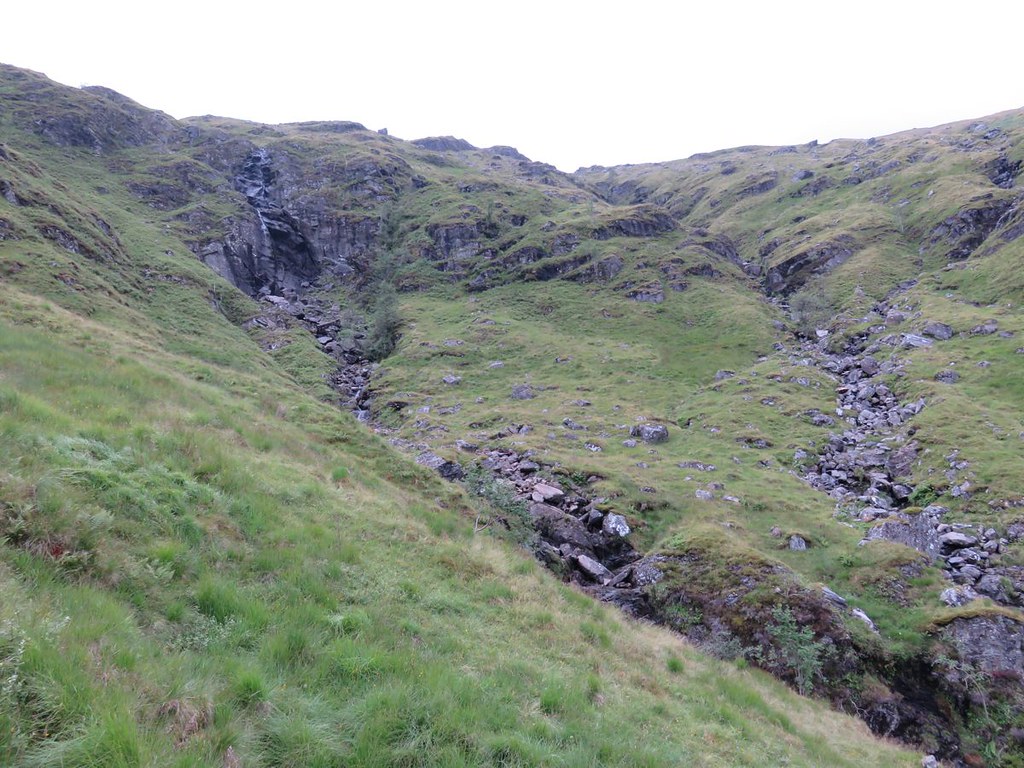
The terrain at the top of the Allt is interesting, but I suspect due to the deep drainage ditch at the top side of the new hydro road the waterfall is now more of a water trickle
On getting up to the road there is a torrent in the deep drainage ditch
There's a nice wee stream crossing near the top with probably the best of the views back down
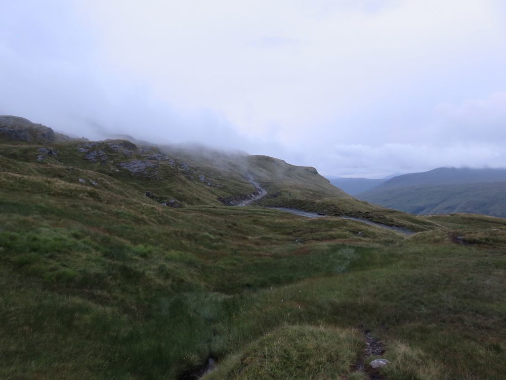
The new hydro road crosses the path shortly afterwards, a very well made road
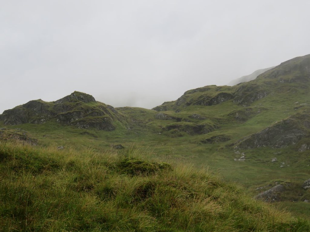
Up to this point the path is quite dry despite the rain and the look of the ground, but the next short section is pretty squidgy in places. The clag had come and gone and come again, though apart from a few spots of rain it had been dry and I was trying to be hopeful of a view from the summit
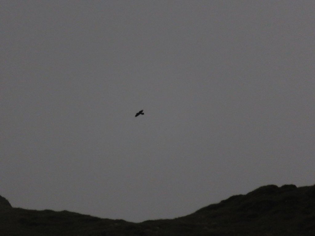
Got to the edge of what I would call a shelf, a big shelf and something of interest was gliding along the ridge, but too far away for identification, the calls sounded like that of a Buzzard, but on looking at the photos more likely to be a Raven
Another for the not proven pile, but it did improve my humour
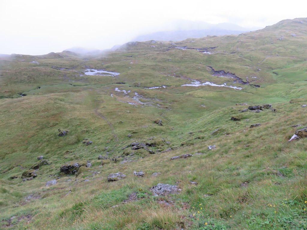
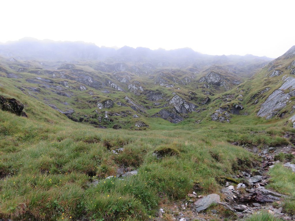
The big shelf is interesting, a bit like the big shelf on Beinn Chabhair, maybe there is a glacial phenomenon in this area which creates them
The path continues across the middle and steeply up the other side and does have a slab which takes a bit of scaling, but there is plenty of bypass if you aren't keen
A view back down to the shelf
I'm pretty sure the photo below is at the top of this section of path just before you turn into another flatter section
with this view
Despite the conditions it is an interesting landscape and path.
Shortly afterwards the bealach cairn
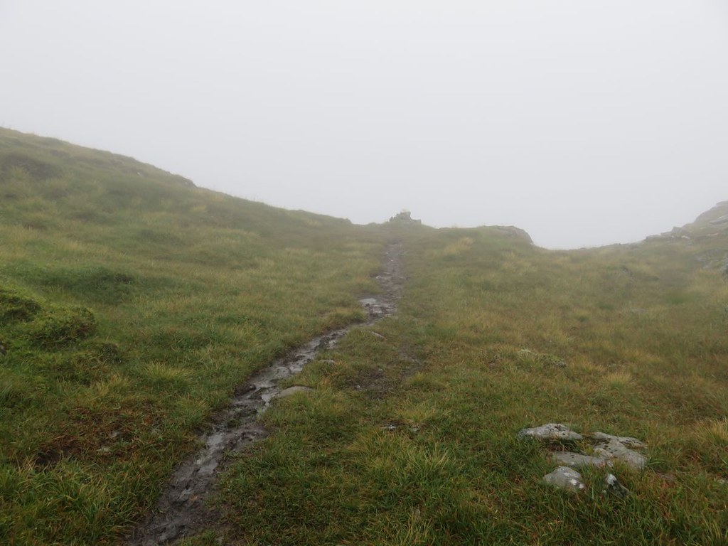
and a left turn along the summit ridge which sadly is now covered in clag
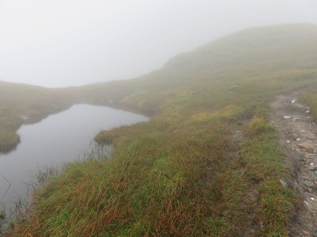
It definitely looks as though this would be fabulous on a clear day with an interesting wee Lochan amongst other features
and finally the summit
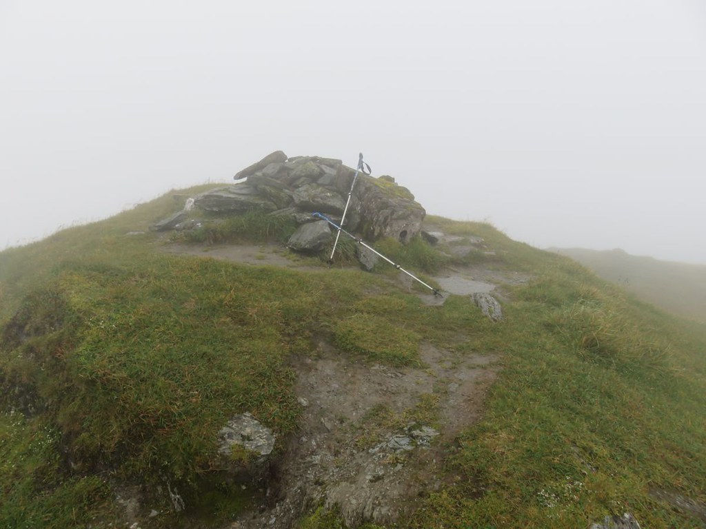
Another photo and return as tempest fugit
Did also consider the WH route back down, but didn't want to take on anything I wasn't sure of escaping from. My preferred option was crossing over where the family had.
By the time I got to the big shelf the clag had lifted somewhat, but I still wouldn't have gotten any awesomeness at the summit if I'd stayed a while.
Back to the hydro road, looking west
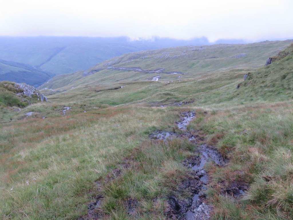
and up to the east, wonder just how far up and where exactly it ends
Crossed the hydro road and still a nice view back down
Then crossed over the and a view back over and up the Allt na Faing, great name
The traverse back over was quite steep and I was glad to get onto the ridge down. Found a fence and followed that to a gate and another fence and a path, another gate and fence, but it was still a bit nippy with the bracken and the fading light and I was glad to get all the way down to the track and cottage
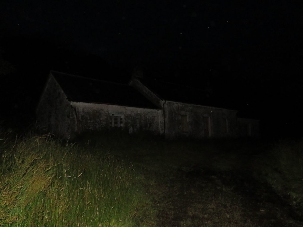
Marched back to the mobility allowance, put the head torch on and got sorted out.
Sixteen minutes to get back to the car in the dark
It was a real shame about the clag, I am definitely keen to go back and get the views from the ridge and those of the islands from the summit. Next time though I will push the bike up the steep start of the hydro track and cycle where I can to the end of it assuming it is near the a point where I can access the other top as per the WH return path, do the full ridge and have a fabulous roll back down