free to be able to rate and comment on reports (as well as access 1:25000 mapping).
Corbetts: Beinn na Caillich, Beinn Buidhe.
Date: 22/08/2015.
Distance: 18 + 16km.
Ascent: 1000 + 1070m.
Time taken: 6 hours + 5 hours, 15 minutes.
Weather: sunny morning, greying over later. Heavy evening shower followed by spectacular sunset.
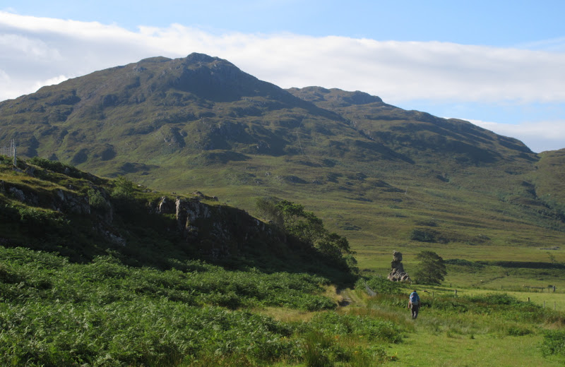
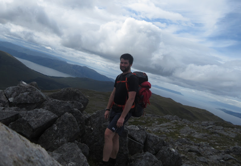
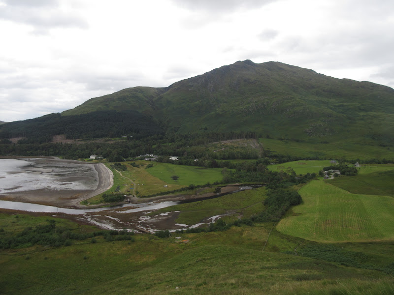
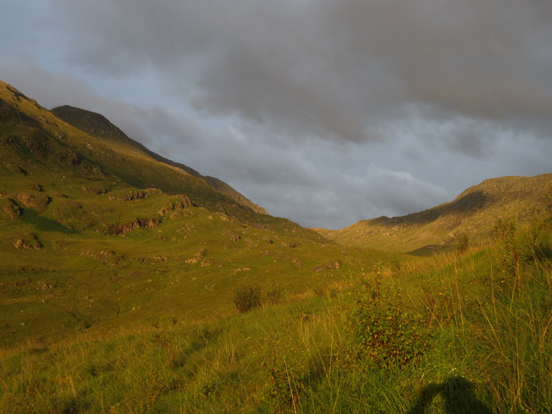
Link to walk-inI was pleased to wake to sunshine, warmth and enough breeze to keep the midges away. Today's original plan was to wander round the large horseshoe comprising Beinn na Caillich, Ladhar Beinn and Sgurr Coire Coinnichean, but I could see a couple of problems with that - it was quite long to do with an overnight pack, and it would leave me with a longish walk on Beinn Buidhe on Sunday morning with me tied to the 2pm ferry out. So inspired by Alan's camping spot and my misplaced wanderings the evening before, I had another idea. A long approach to Beinn na Caillich via the path to Croulin and the northern slopes looked to be interesting.
Breakfast Eigg:
Beinn na Sreamaig and Ben Alask – Graham no more:
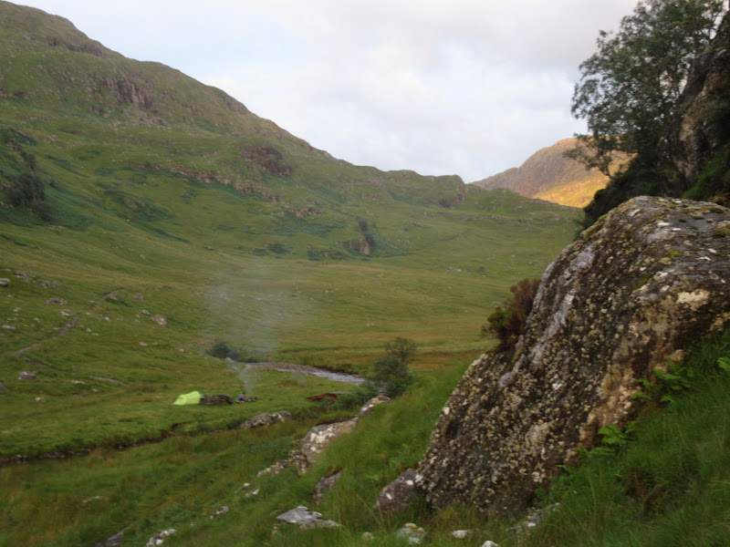
Campsite:
(Photo by Mountainstar):
Alan had mentioned joining me on Beinn na Caillich initially but he was now looking at a more leisurely way back to Inverie via Druim na Cluain-Airighe. We agreed to meet up later in the Old Forge for a few pints and I was on my way by 9:30am.
Alan heads off to Inverie:
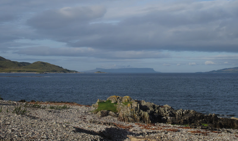
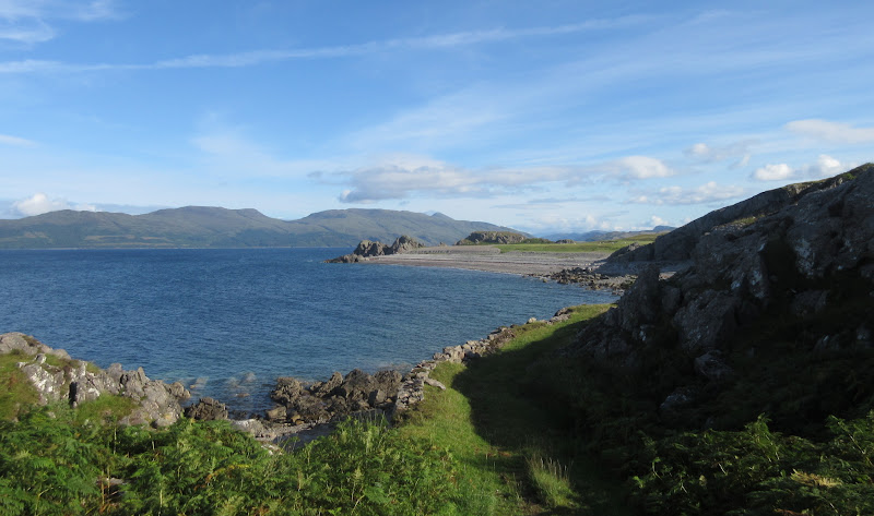
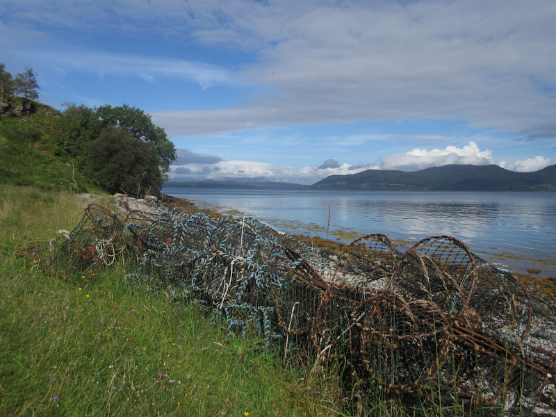
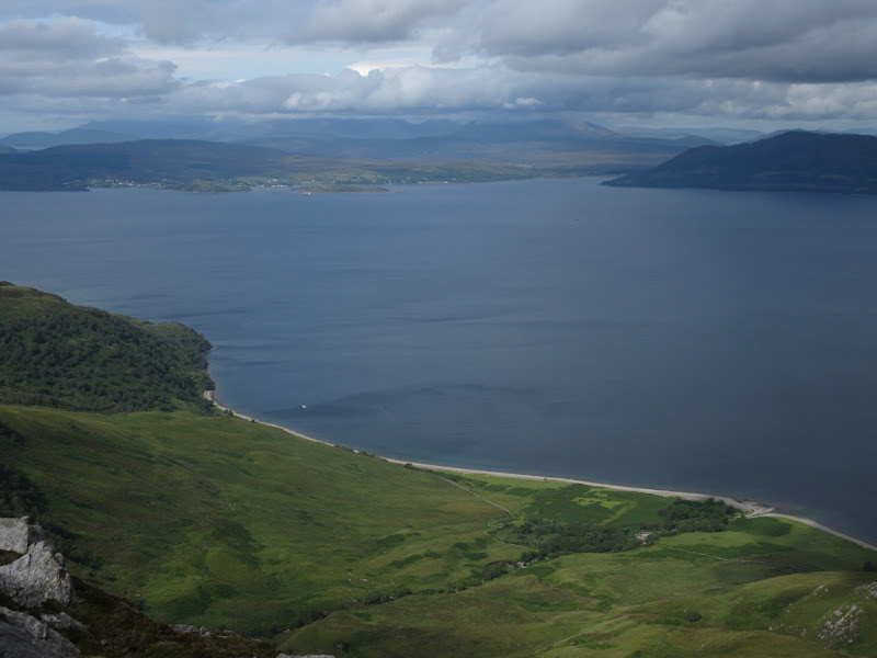
I headed north then east around the coast, the path being lovely walking until Ruabha Camas An t-Salainn. At this point, the slopes steepened and dropped directly into the loch, and the path became almost non-existent. I climbed up steep boggy slopes and the path re-appeared faintly - a bit like a much wetter, less obvious version of the path from Kinloch Hourn to Barisdale.
Coastal path:
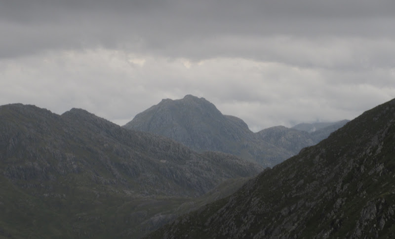
Beinn Sgritheall:
Mouth of Loch Hourn:
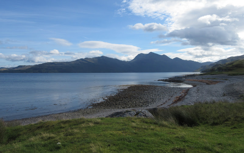
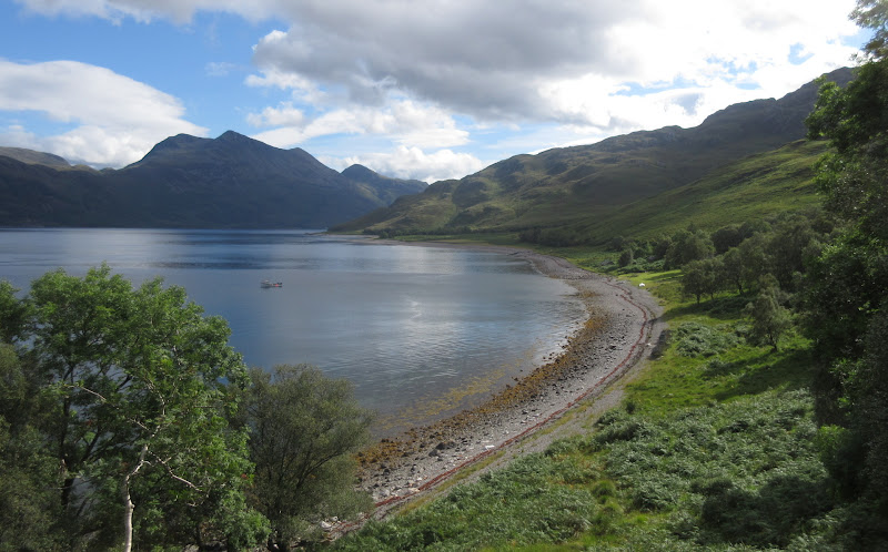
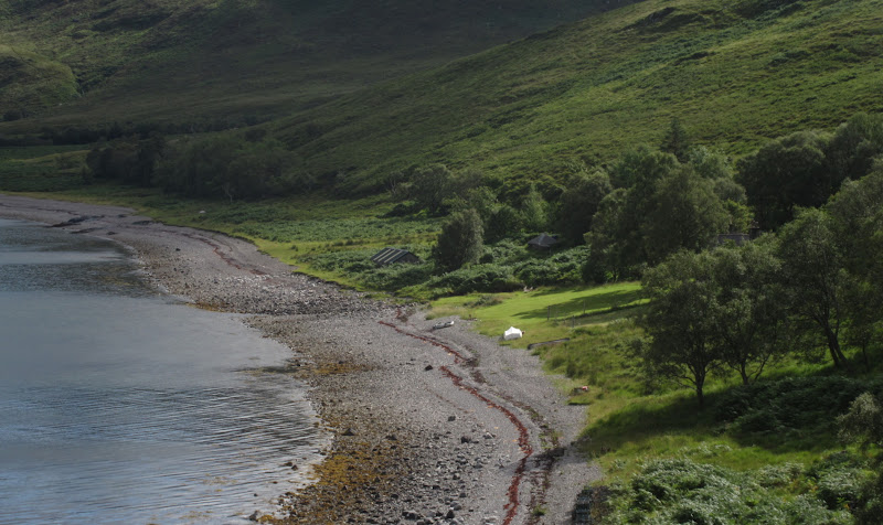
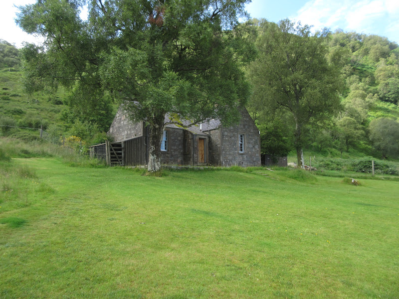
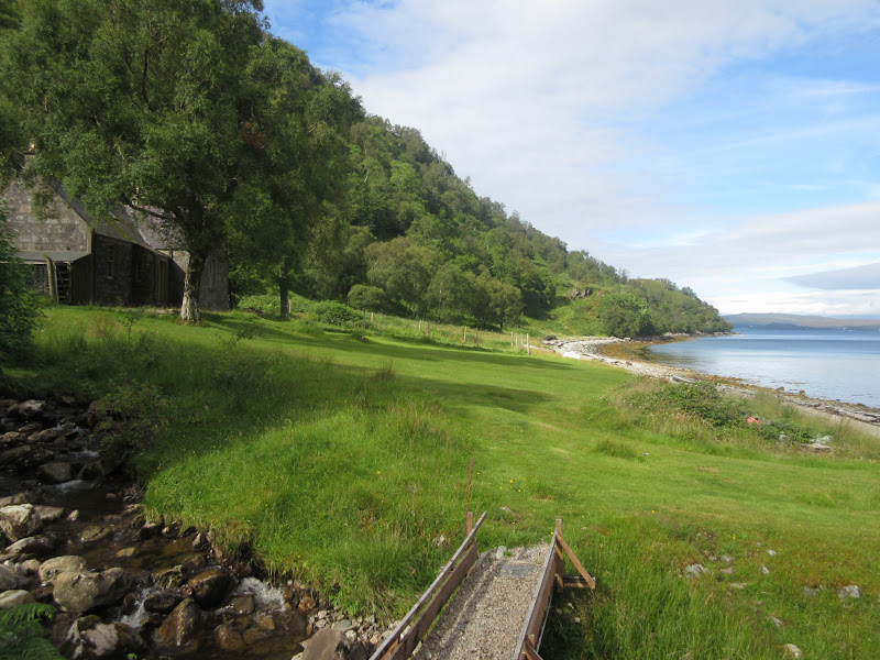
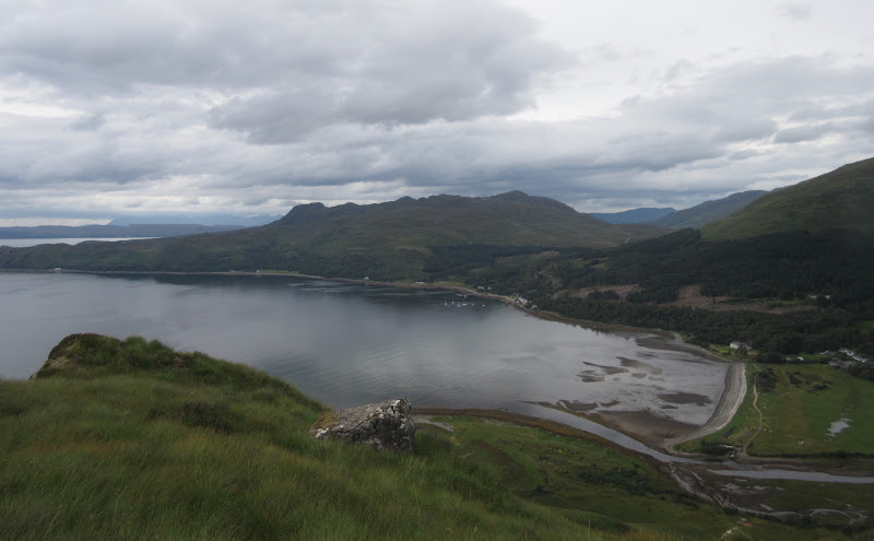
There were great views to Beinn Sgritheall as I dropped down to Croulin Bay. I passed a well-kept cottage on the waterfront, then shortly after I bumped into its inhabitant, a fisherman who lived there all year round. Some place to live

. After a brief chat, I carried on around the bay then up onto the hillside at the eastern end.
Croulin Bay
Fisherman’s cottage at Croulin Bay:
Skye:
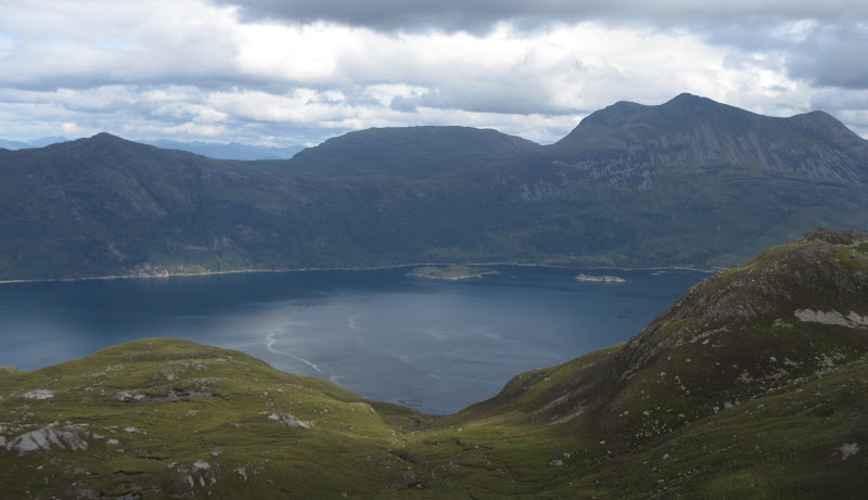
Beinn Sgritheall across the bay:
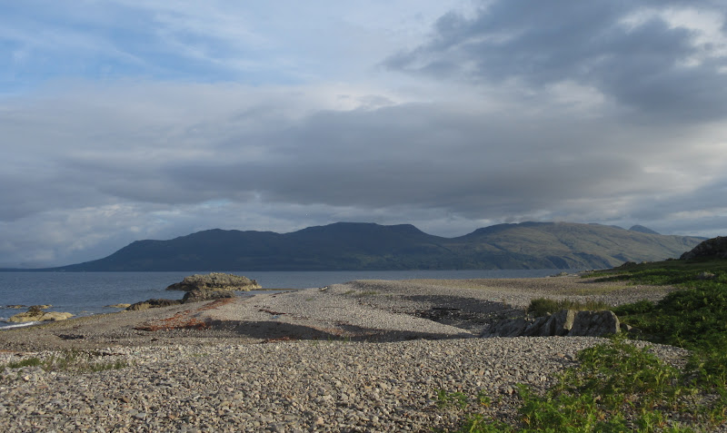
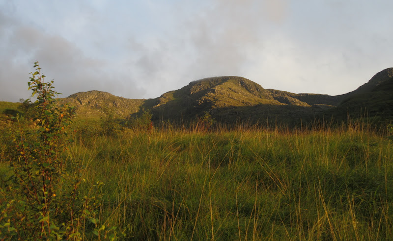
The ground was rough lower down, but gradually became more easy going. I finally stopped for a second breakfast on a shoulder of Meall Breac.
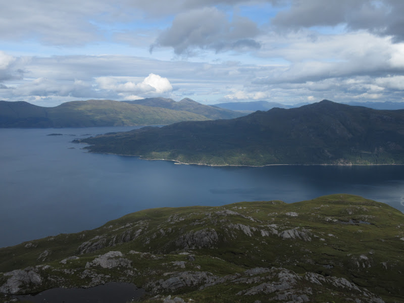
Back down to Croulin Bay with Skye in the background:
Beinn Mhialairigh:
Beinn na h-Eaglaise and Arnisdale:
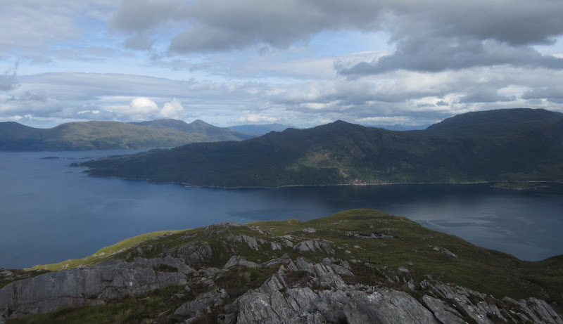
Across the loch to Eilean Rarsaidh and Beinn Sgritheall:
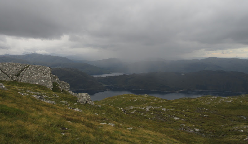
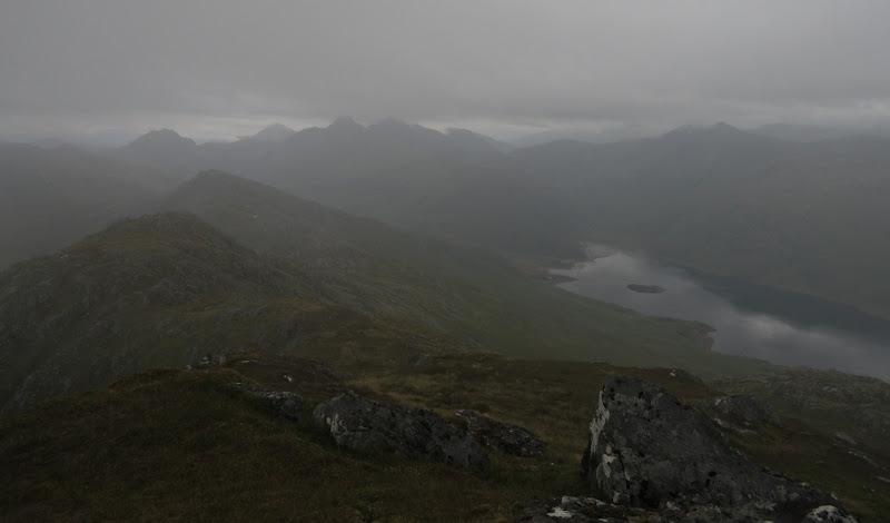
Sgurr Choinnich and Beinn na Caillich on Skye:
Cuillin never really emerges from the murk:
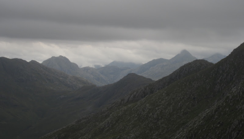
The Saddle:
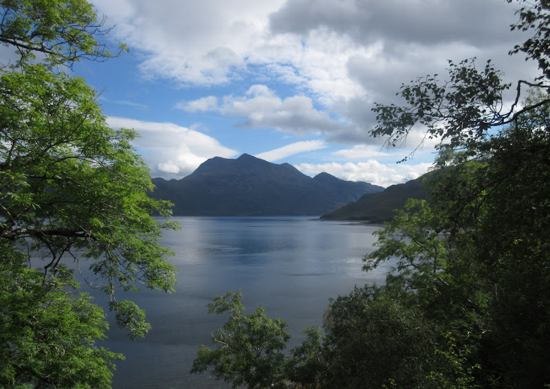
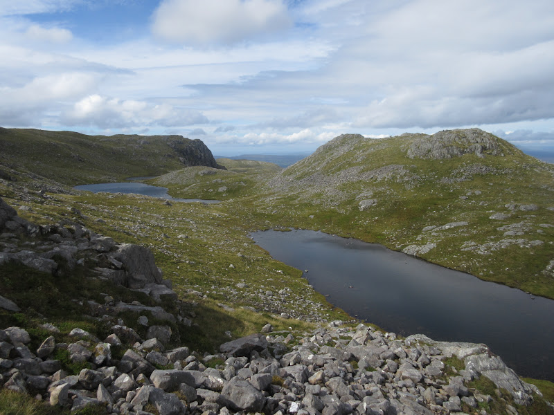
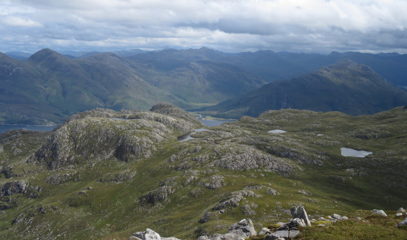
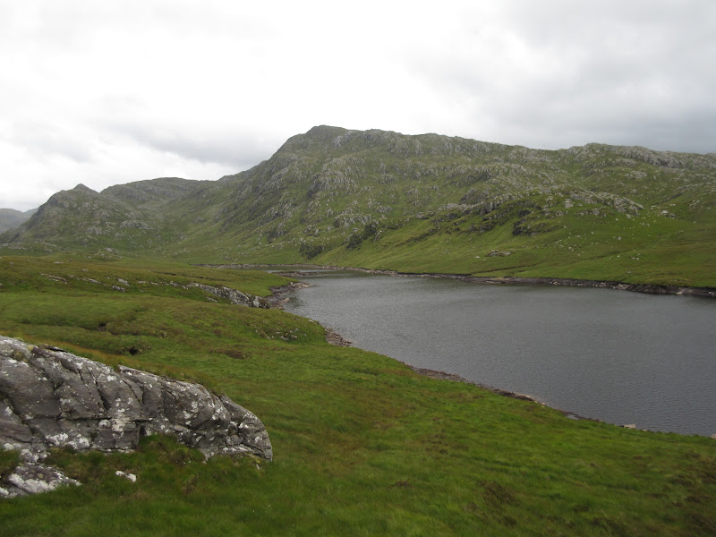
Despite the Cuillin never really emerging from the murk, it was a fine morning turning into a fine afternoon. Some more lumps and bumps led me past an attractive string of lochans to the final ascent.
Lochans near the summit of Beinn na Caillich:
Back down my route of ascent:
Corran and Glen Arnisdale:
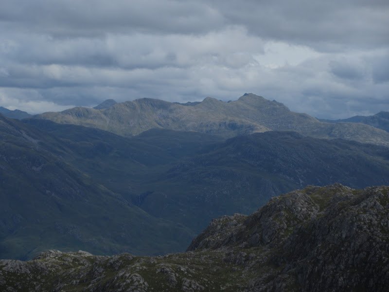
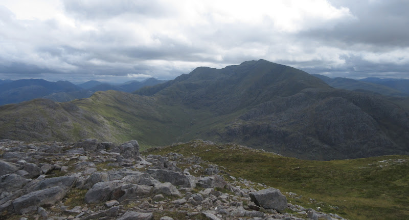
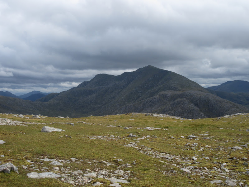
Ladhar Bheinn looked fine but refused to catch the sun. While I still liked the look of it, I was happy to leave it for a return visit to Knoydart.
Ladhar Bheinn:
Rum:
Ladhar Bheinn from Beinn na Caillich:
This was far too wonky to straighten up – on the summit of Beinn na Caillich:
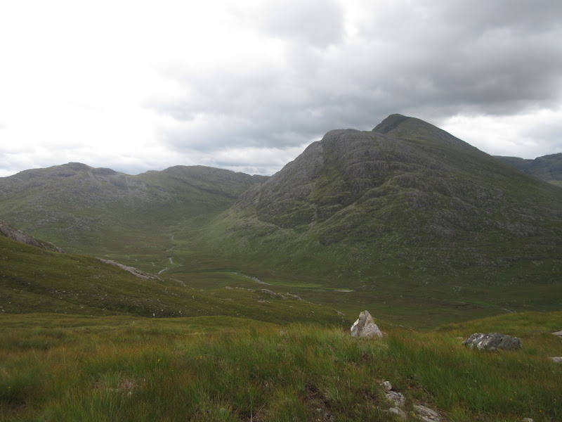
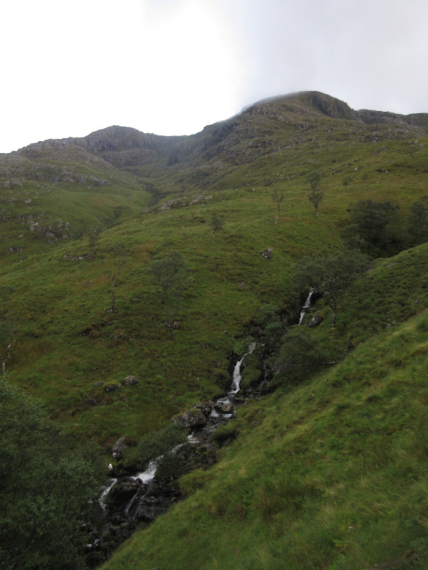
After another break, I headed south for the Abhainn Bheag, making a descending traverse. In fact I didn't ever meet the Abhainn Bheag, and ended up dropping down to the Abhainn Inbhir Ghuiserein and wading through it.
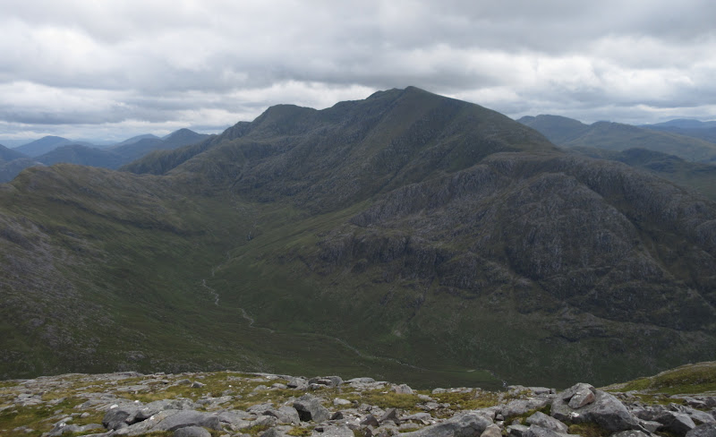
Ladhar Bheinn again:
…one last time from this direction:
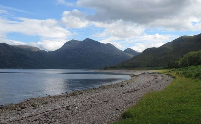
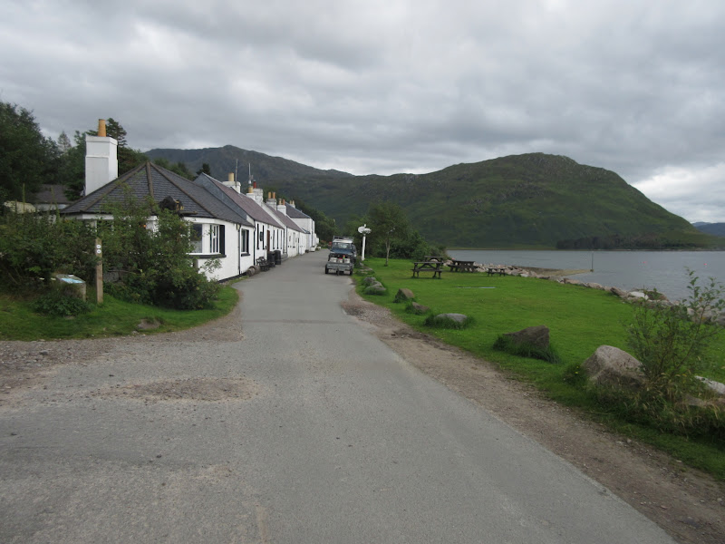
The sky had greyed over by this point, and the rest of the walk back to Inverie was uneventful along good tracks.
Inverie high street:
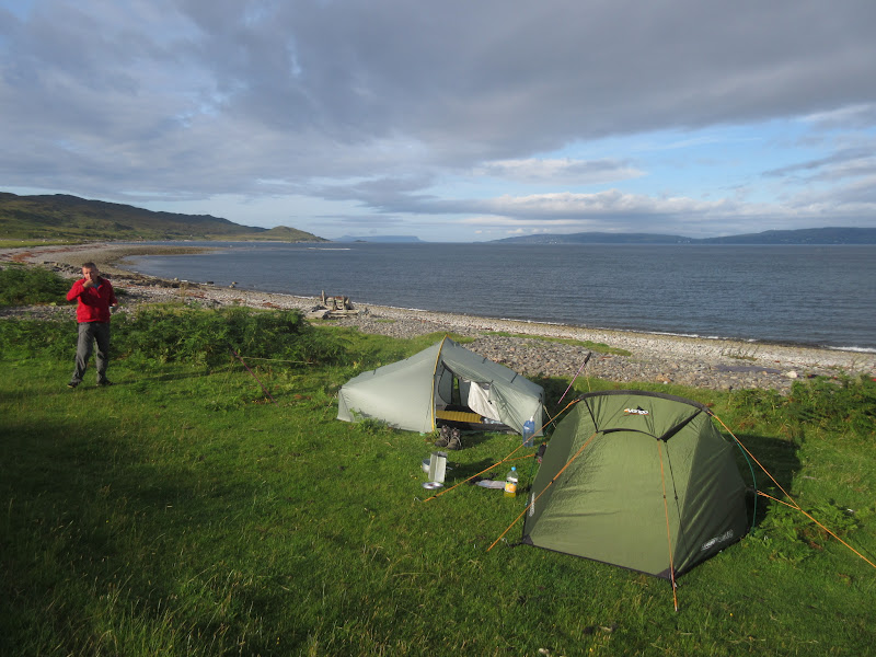
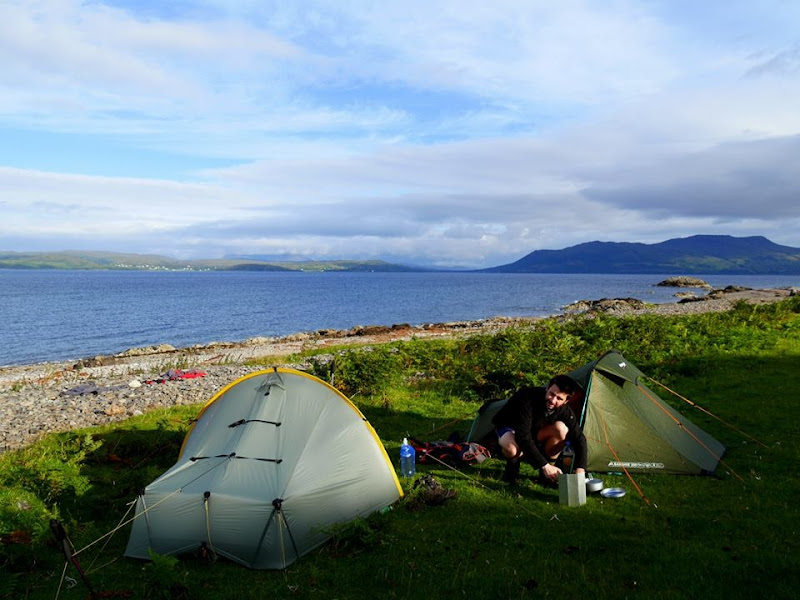
I carried on past the pub and post office to the campsite at Long Beach, wanting to pitch my tent and get rid of unnecessary stuff before going up Beinn Buidhe. I was a bit later than expected, and by the time I had pitched my tent, Alan had also arrived. He was planning a a leisurely afternoon around Inverie, and it was tempting not to head off up Beinn Buidhe, but I knew it would be fine once I got going.
I left just after 4pm, wishing that I was only going up Sgurr Choire Coinnieachan instead, as I wouldn't be down this one until it was almost dark. There's probably a sensible way up onto the western end of Beinn Buidhe, but I had decided to go up right above the campsite. I walked round past Kilchoan, where the boundary fence pushed me to the river bank, then over a deer fence and up next to Allt na Fannaich. It was rather rough and bracken-strewn, but to be honest, after my experiences in Cowal at the start of the month, it didn't seem
that bad.
Back down to Inverie Bay:
An hour from the tent saw me at Loch Bhraomisaig, which had been drained down slightly to allow repairs to the dam (this explained why everything in Inverie was running off a generator and we were booted from the pub when it was switched off at 11pm). I thought maybe I had missed an easy access track to this point but it appeared that a helicopter was being used to transport materials up to the dam from the campsite area.
Loch Bhraomisaig:
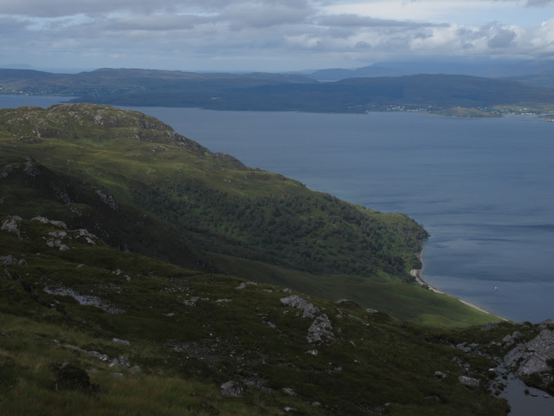
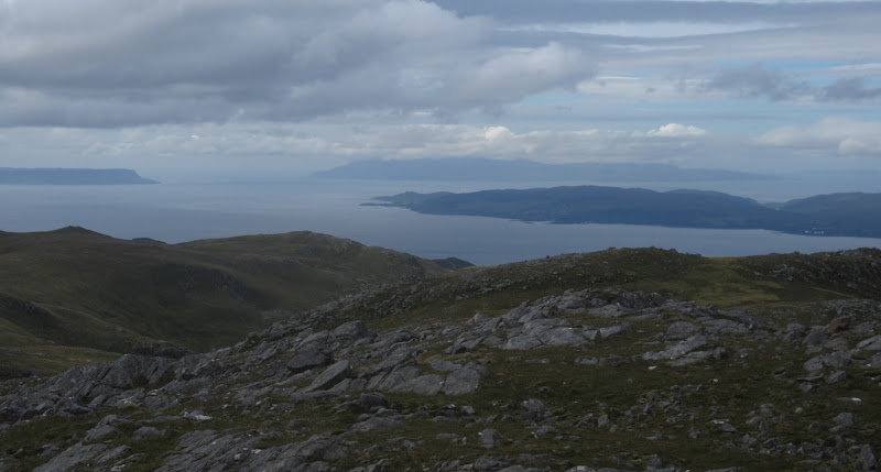
Still some sunshine beyond Eigg and Rum:
Looking up towards the Trotternish ridge:

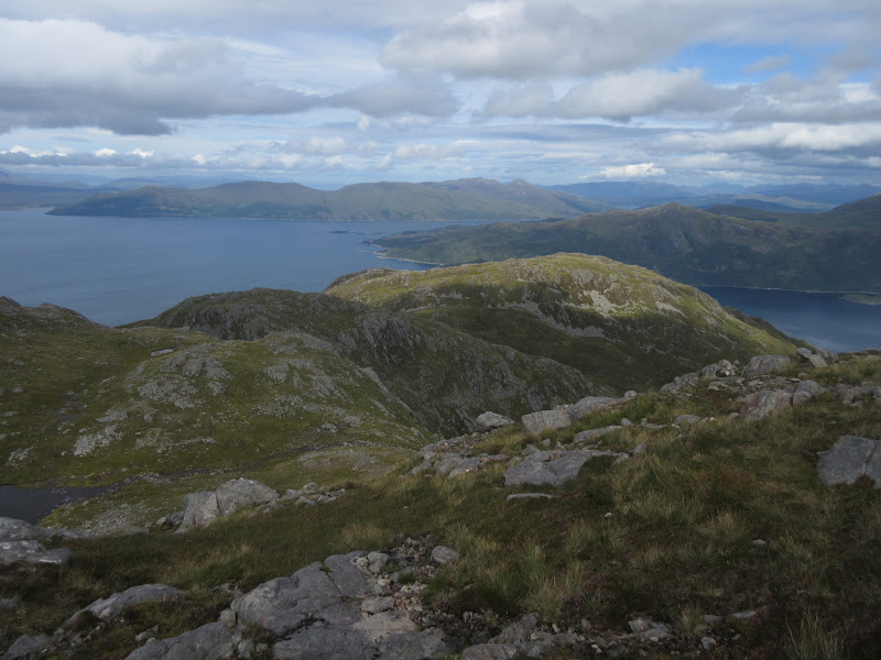
Beyond the loch, the going gradually became easier until I was on the ridge, but still quite a way from the summit. The skies were disappointingly grey at this point, and a shower was moving in from the south. I had a quick break then carried on, the ridge eastwards being pretty impressive. I quite fancy doing this under a bit of snow sometime in the future. I had my jacket on ready for the shower, but the wind had dropped so much that it took quite some time to reach me.
Shower moving in (very slowly):
Beinn Alligin pokes out rather surprisingly to the north:

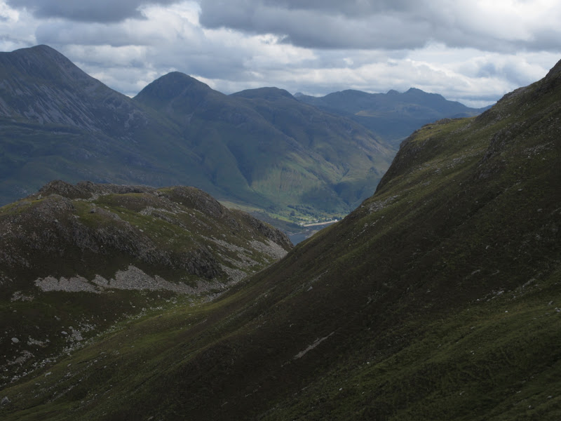
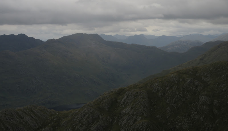
Glen Shiel hills:
Of course the rain moved in as I was approaching the summit, although it didn't completely obliterate the views. I had another quick break on top (which took me the best part of 3 hours to reach from the campsite), then thought about how best to return.
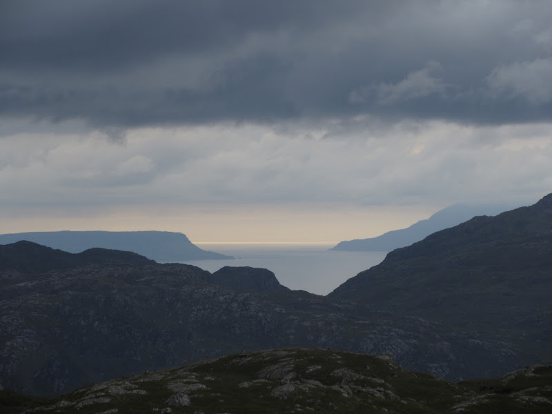
The Rough Bounds looking moody:
…zoom to Ben Aden:
Head of Loch Nevis from the summit of Beinn Buidhe:
Back along the ridge would provide the best views, but with the weather being poor I looked for a quicker option dropping into the corrie to the north. I descended briefly along the ridge the way I had come, back to the gap between the main summit and Sgurr a' Choire Ghuirm, then dropped steeply into the corrie. Although there were some outcrops to avoid, the descent was mainly on grass. The ground got harder going as I got lower, but it was OK. After getting heavier for a time, the rain suddenly stopped, and everything turned golden in the evening sunlight. Should've gone back down the western ridge!
Descending the north side of Beinn Buidhe:
Should’ve gone back down the western ridge:
…but still very pleasant down in Glen Meadail:
I climbed a deer fence and passed through a rougher area of ground before picking up the good Glen Meadail path by a footbridge. There were a couple of campers here. One of the items they were drying out was a brolly...
Back to the summit of Beinn Buidhe:
Campers in the glen:
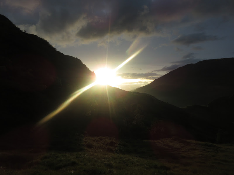
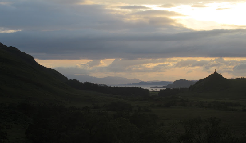
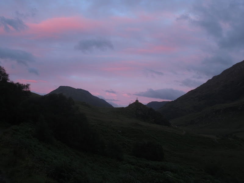
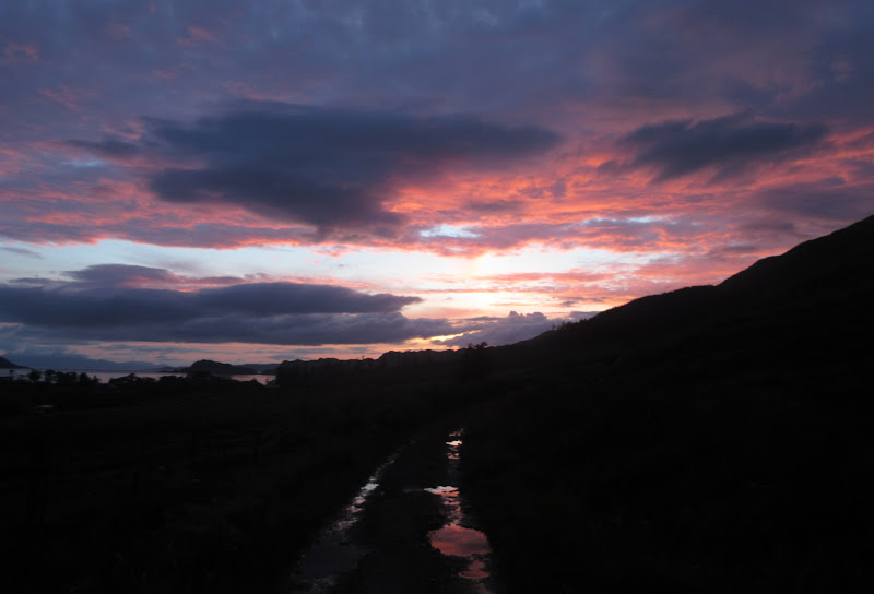
The walk out to Inverie was fast, but further than it looked initially. I got to see some of the great sunset, but I was a bit hemmed into the glen to see the best of it.
Approaching Inverie with Rum beyond:
Traffic jam – Inverie style:
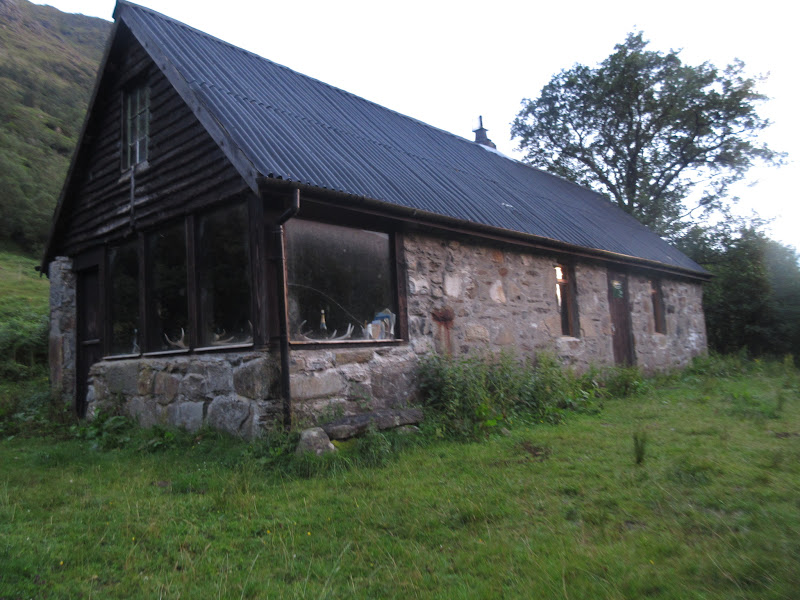
Meadail bothy:
Back up Gleann an Dubh Lochain:
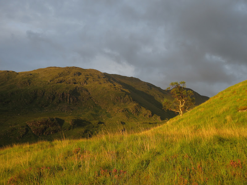
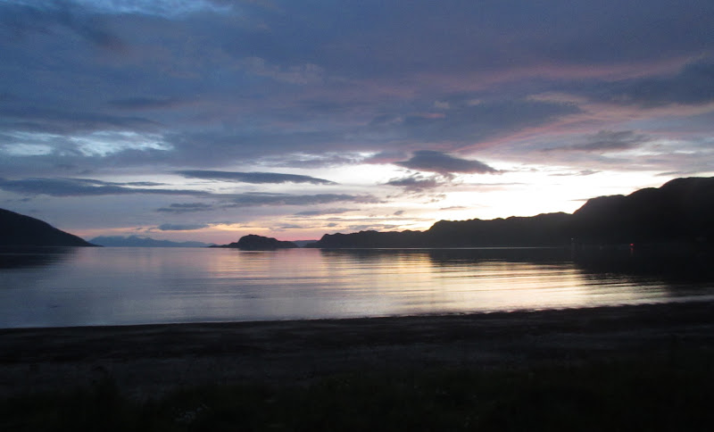
Last light:
Shortly before reaching the campsite, I passed Alan on his way to the pub. I braved the worst midges in recent memory while cooking my dinner before wandering over to the pub to join him at about 10pm. It was lively enough without being overly busy. £4 a pint and an 11pm chucking-out time due to the generator being switched off prevented any hangover the next day

. The midges were still ferocious back at the tent and I hoped for some breeze to move them on in the morning.
Inverie Bay:
 Link to Sunday report