free to be able to rate and comment on reports (as well as access 1:25000 mapping).
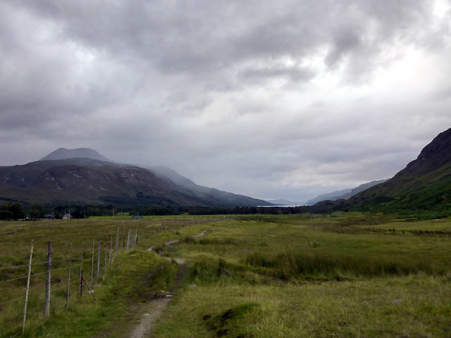
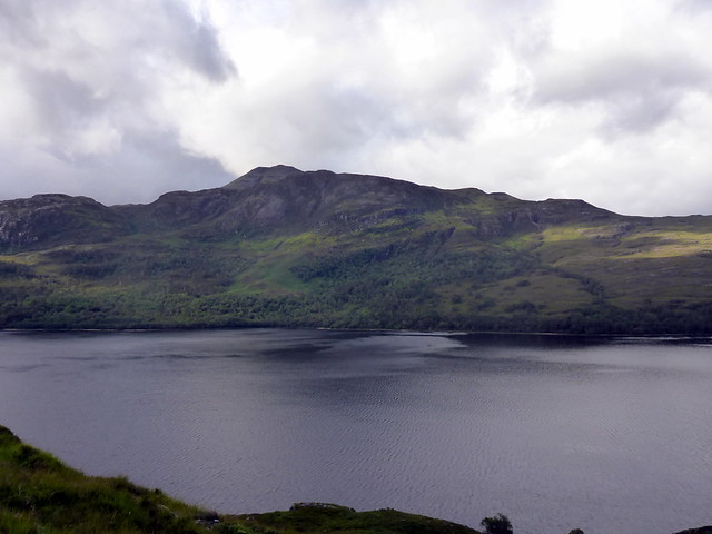
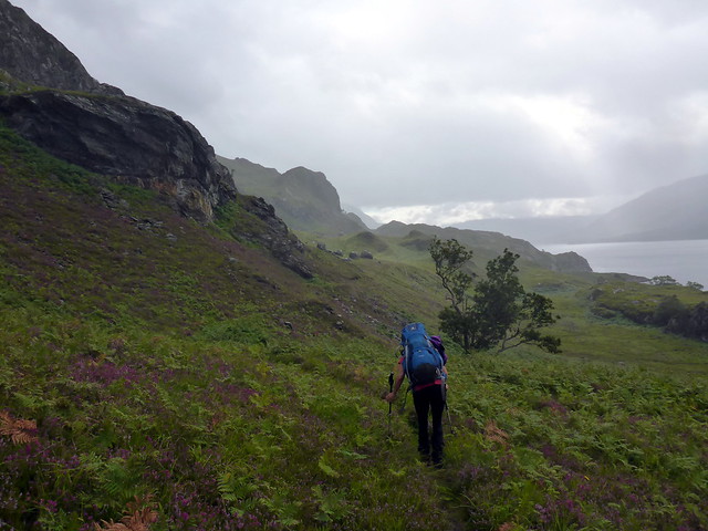
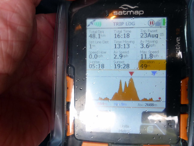
This weekend marks the third anniversary of our hillwalking adventures. At the start of the last week in August 2012 I had done a lifetime total of six Munros and Allison was much the same. 3 years on and it's 410 Munros, 212 Munro Tops and 220 Corbetts, having covered 6250km. And God knows how many road miles to get them done. i can't imagine life being any other way. This weekend was going to be one of the last where there's a bit of light in the evenings to do a walk in after driving up - it's noticeable now how the sun is fading earlier. Beinn Airidh Charr and Beinn Lair were a wheen of miles away from home and a good long walk in from Incheril, sitting around the 50km mark. I'd decided to pinch and amend Rockhopper's route from when he compleated on Slioch, reserving the options of a high camp on Beinn Lair if the weather was amenable and a swither about the return route from Beinn Lair. Managed to get away from work before 3 on Friday and was delighted to turn into the empty car park at Incheril for 7.30 - an hour before I thought I'd get there. That meant we had around an hour's light left to walk in.
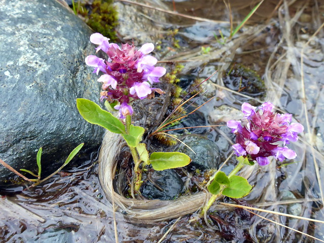
 P1090846
 by
Al, on Flickr
Shouldering the big packs we headed off into the evening light. The drizzle began as soon as we got into the fields and kept on/off over the wander in. Over on the south side of Loch Maree, Meall a'Ghiubhais, where we'd stood 3 weeks ago - caught the eye, but as we marched along the Kinlochewe River it was Slioch up ahead that dominated. I'd intended to pitch in the wee bay Camus an Trusdair, but it proved wetter and rockier than I'd remembered, so we ended up pitching beside the bridge over the Abhainn a Fhasaigh, which proved to be home to about a million midges

 P1090849
 by
Al, on Flickr
 P1090850
 by
Al, on Flickr
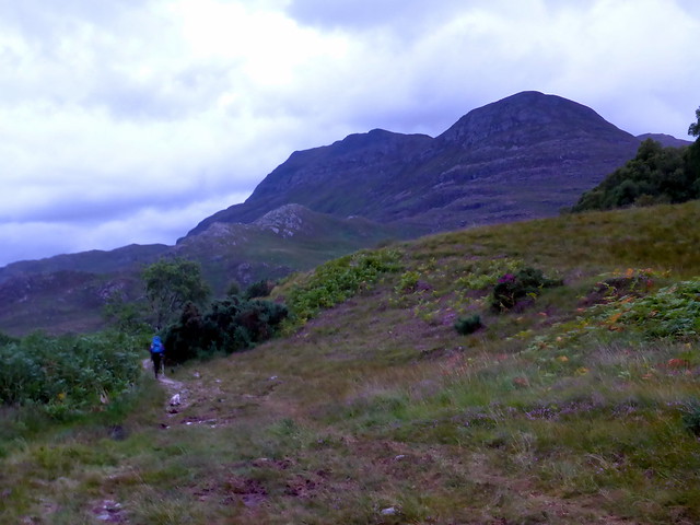
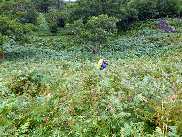
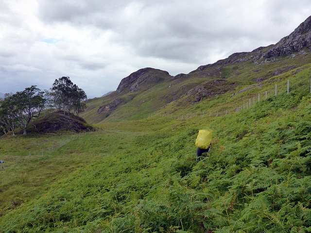
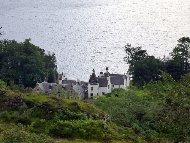
Friday night was wet but at least Saturday morning started dry, in defiance of the forecasts which foretold heavy rain all day. We followed the track towards Letterewe - boggy in parts, often disappearing into thick bracken. we were not making good time - it took us just over 3 hours to reach Letterewe and that was a mere 15km from the car park. Hmmm - I didn't want to be finishing up late on Sunday afternoon with a long drive back to do. We reached the estate and contniued north on newly bulldozed track towards the Bealach nan Sac. Stopping for lunch on some rocks overlooking the estate buildings we blessed the breeze for keeping the midge at bay.
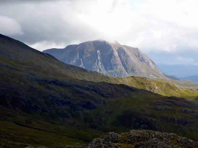
Back of Slioch
 P1090852
 by
Al, on Flickr
Meall a'Ghiubhais
 P1090853
 by
Al, on Flickr
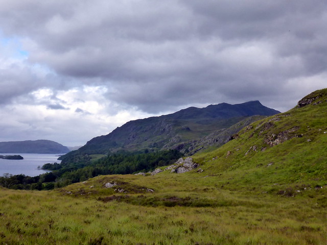
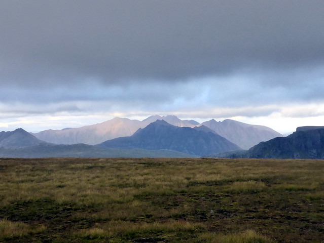
weather coming in across Loch Maree
 P1090856
 by
Al, on Flickr
 P1090859
 by
Al, on Flickr
 P1090861
 by
Al, on Flickr
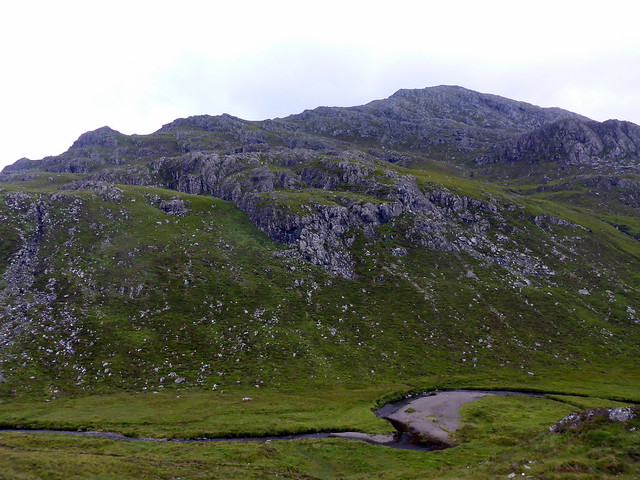
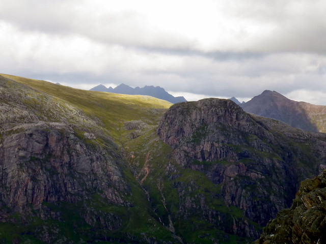
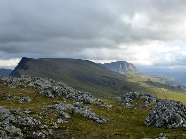
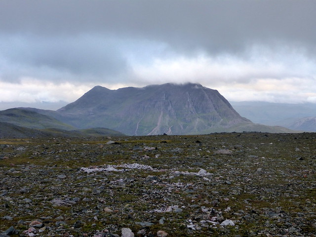
Beinn Airidh Charr
 P1090862
 by
Al, on Flickr
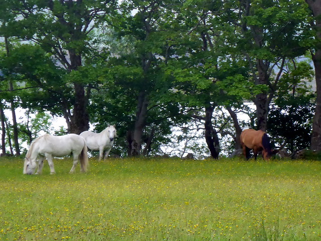
Dandelion meadow
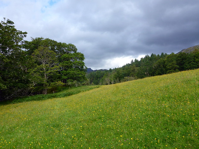 P1090868
 by
Al, on Flickr
 P1090870
 by
Al, on Flickr
The track splits and we took the left path towards the Glac Iain Duibh which wove its way west initially then turned north up Strathan Bhuidhe. i got a bit disorientated - too many lochs - but fortunately Allison realised which mountain we were heading for

Beinn Airidh Charr was on our left - if I'd realised that earlier I'd probably have picked a line up Carnan Maire and followed the high ridge rather than losing height in the glen. Anyhoos we turned up to our left at the Allt a'Choire Reidh and walked into the bowl like coire, leaving our packs by the stream and ascending the remaining 300m unladen. Unfortunately the weather chose just that moment to obscure the top in a band of clag and to raise a biting wind. Plans to visit the other nearby tops (Sims, you know) were abandoned and Airidh Charr, with its shattered trig marker would have to suffice.
Glac Iain Duibh
 P1090873
 by
Al, on Flickr
 P1090874
 by
Al, on Flickr
 P1090877
 by
Al, on Flickr
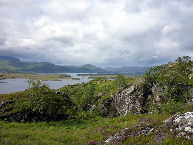
Fionn Loch & Meall Mheinnidh
 P1090878
 by
Al, on Flickr
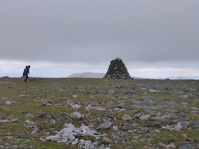
Summit, Airidh Charr
 P1090880
 by
Al, on Flickr
 P1090881
 by
Al, on Flickr
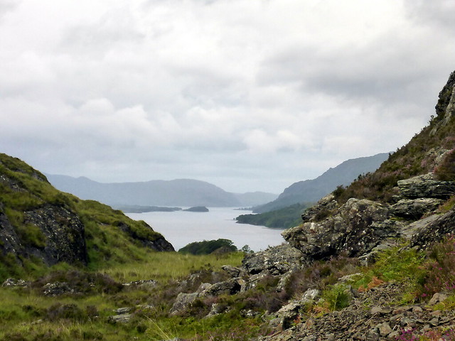
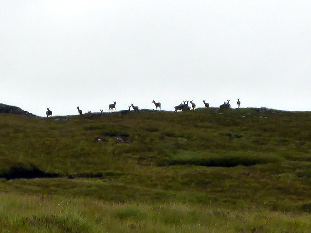
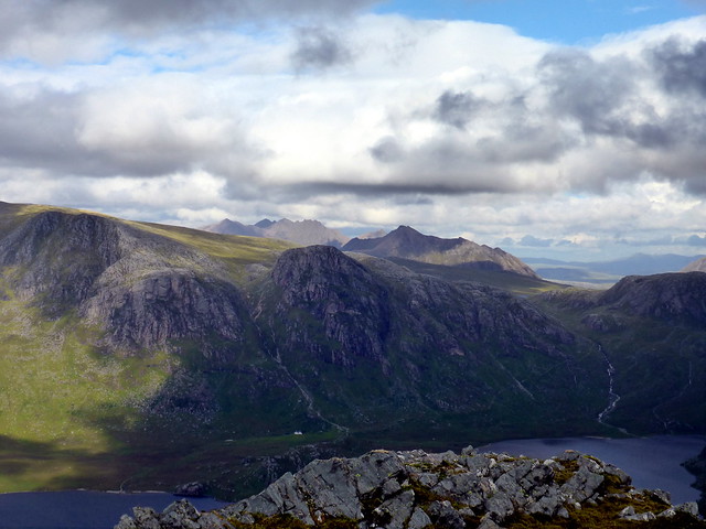
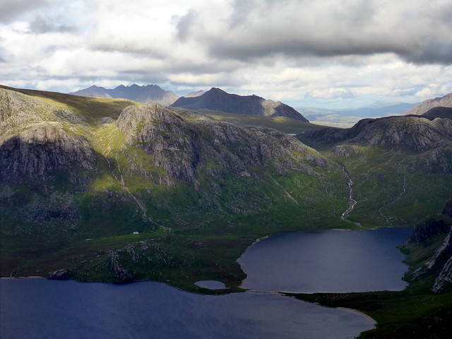
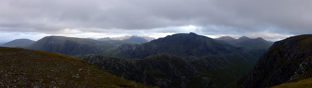
We made our way back down to the packs, stopping for some peaty water from the burn then turning our attention to the craggy looking Graham that stood between us and Beinn Lair. We picked out the likeliest line up and finished our descent off Airidh Charr, past crags and waterfalls. The Strathan is 250m in altitude - there were another 522m to achieve to be at the top of the Graham - Meall Mheinnidh "the grassy hill" allegedly - more like the craggy hill from here. it was actually easier than it looked to pick a way between the craggy outcrops and we even found a rudimentary path. Views to the north, across Fionn Loch were increasingly spectacular - steep cliffs fell away to the lochside then the eye was taken over to the Fisherfileds, with An Teallach rising like a jagged jaw in the distance. Beinn a'Chaisgean Mor also caught the eye - one for a weekend soon.
Meall Mheinnidh
 P1090883
 by
Al, on Flickr
Craggy
 P1090886
 by
Al, on Flickr
 P1090891
 by
Al, on Flickr
An Teallach in the distance
 P1090894
 by
Al, on Flickr
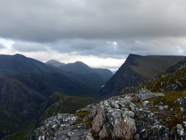
Beinn Lair on R
 P1090896
 by
Al, on Flickr
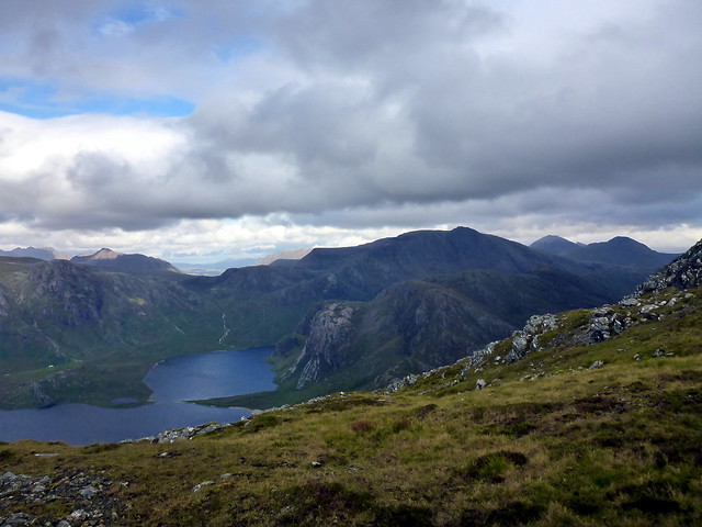
Fionn Loch
 P1090898
 by
Al, on Flickr
 P1090899
 by
Al, on Flickr
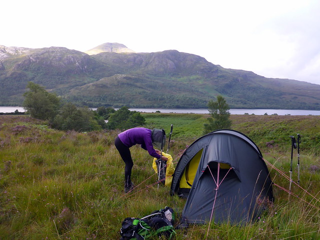
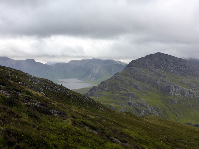
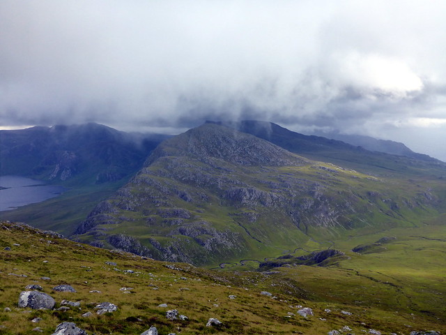
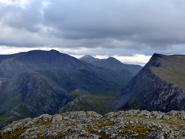
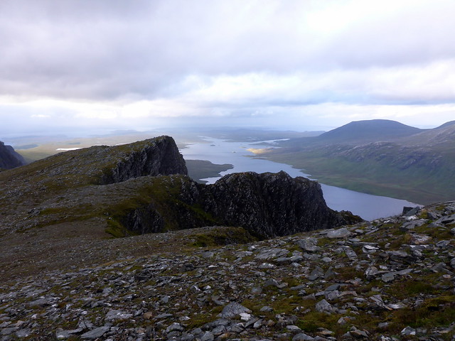
As we got to the summit we could see the sloping back of Beinn Lair to our right, with Slioch rising behind it, an impregnable fortress of rock. What a vista - this is proper mountain country! Descending the softer grassy eastern side of Mheinnidh we got to Bealach Mheinnidh, fortunately quite high at around 500m. It was, by this time, around 5.30 and we had to make a decison about what happened now. The winds being high and the prospect of a cloudless sky being less than unlikely, we decided to camp somewhere around the bealach rather than lug the tent up onto the summit of Beinn Lair. Found a spot to pitch near the tiny lochan at the beginning of the rise up to Lair and had a well earned meal. Then it was off out again, unladen, to reach the top of Beinn Lair. The route took us along the edge of the impressive cliffs. I was startled by a grunt whilst looking over the edge and found I'd disturbed a family of goats, who left their resting places and walked along the ridge of one of the jutting outcrops. Walking on, the eye was drawn inexorably to the jaggy marvels of the Beinn Dearg pair and, behind them, An Teallach. The visibility wasn't brilliant, and it would have been fantastic to sit here on a summer's evening with a red sky behind this lot. Ach well, at least we were seeing them rather than everything being obscured by clouds.
Beinn Lair / Slioch
 P1090900
 by
Al, on Flickr
 P1090903
 by
Al, on Flickr
 P1090904
 by
Al, on Flickr
 P1090905
 by
Al, on Flickr
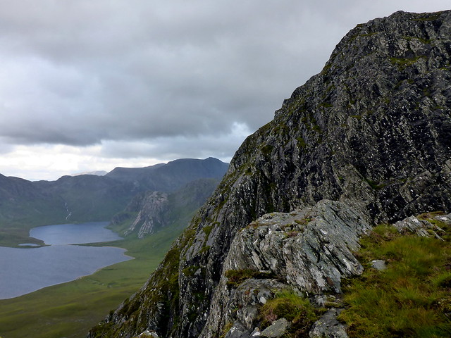
Slioch
 P1090907
 by
Al, on Flickr
Looking back along slopes of Beinn Lair
 P1090913
 by
Al, on Flickr
Ridgewalking goats
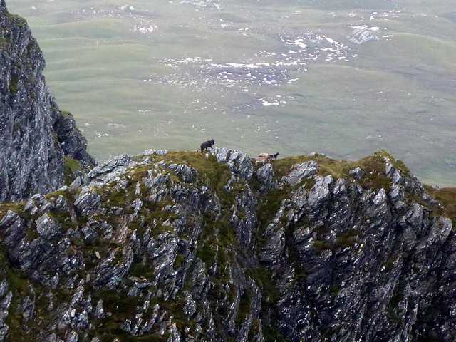 P1090914
 by
Al, on Flickr
Summit plateau, Beinn Lair
 P1090919
 by
Al, on Flickr
Jagginess all around
 P1090920
 by
Al, on Flickr
 P1090922
 by
Al, on Flickr
Slioch
 P1090923
 by
Al, on Flickr
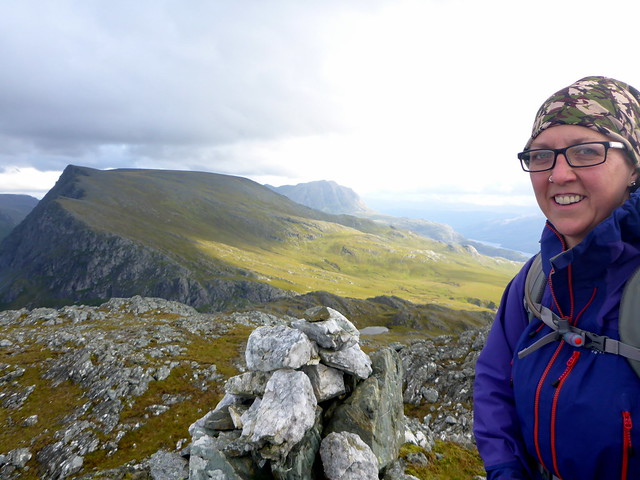
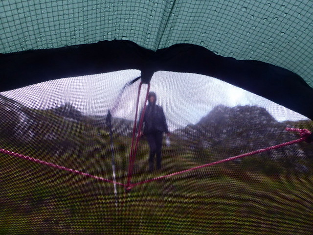
Eerie photo of Allison...
 P1090924
 by
Al, on Flickr
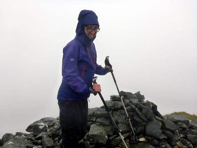
The Weasel in his Lair
 P1090927
 by
Al, on Flickr
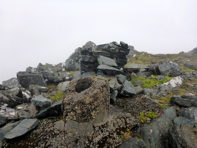
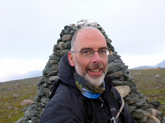
The summit cairn on Beinn Lair is huge - easily 10 feet. To the east, Slioch stands proud. To the north, Fisherfield grabs the attention. We drooled for a while then turned around and headed back the way we'd come, stopping to gather some water from a tiny stream near the tent. I had my new Sawyers water filter to try out (excellent purchase as it turned out) so water can be taken from almost anywhere. We retreated to the tent as the rain began - I was thoroughly grateful that the forecasts had been proved largely wrong for today.
 P1090931
 by
Al, on Flickr
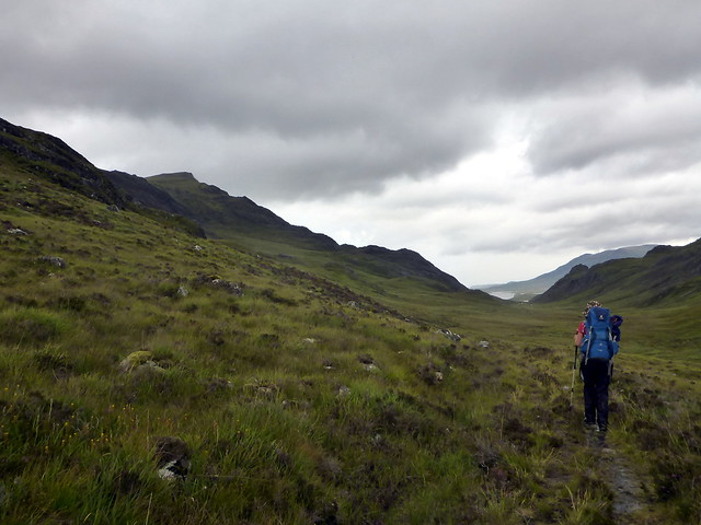
letterewe estate
 P1090934
 by
Al, on Flickr
 P1090936
 by
Al, on Flickr
 P1090938
 by
Al, on Flickr
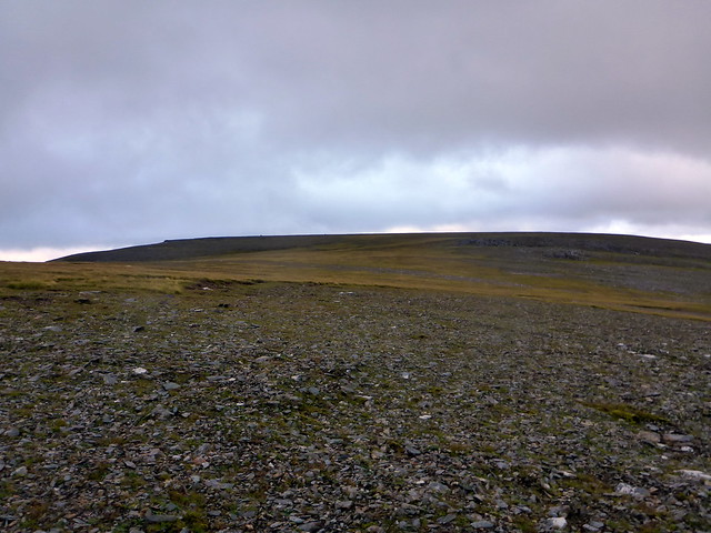
After a windy, wet night the morning was dry. Up and away by 8.30, we'd chosen to simply return to Letterewe by the track rather than faff about on the southern shores of Lochan Fhada, so the going was predictable. Seemed a bit easier going today, although keds ruined the pleasure of the walk in the first part and midges in the second. Back at the car by 1.30 - earlier than I'd anticipated - and an easy drive down the road. Two more off the list - but what a fabulous part of the country this was.
 P1090939
 by
Al, on Flickr
