
Beag (ing) for Mor
Having been confined to staying 'low level' for the last 2 weeks due to the lack of decent weather, I jumped at the first chance to head NW, the first half decent mountain forecast for what seemed like ages. My target had to be the Aonach's as they were kind of standing out in amongst the sea of blue balloons.
The plan was to leave nice and early and I was on the road by 5.30am, the car knows the way to Fort William but I still put the start point co-ordinates into the Satnav
The road NW was nice and quiet so I was able to make excellent progress & remembered the car park from my visit a couple of years ago when I enjoyed the Ring of Steall.
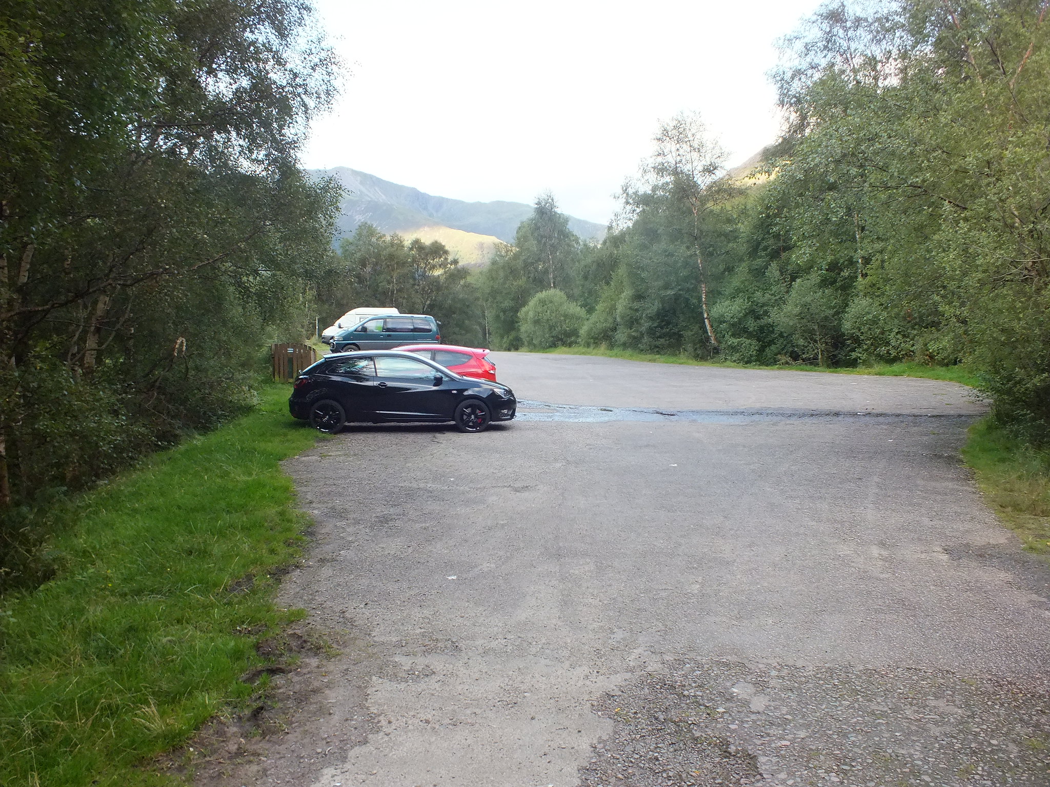
Large car park, nice and quiet was totally different when I returned later, there was even an ice cream van
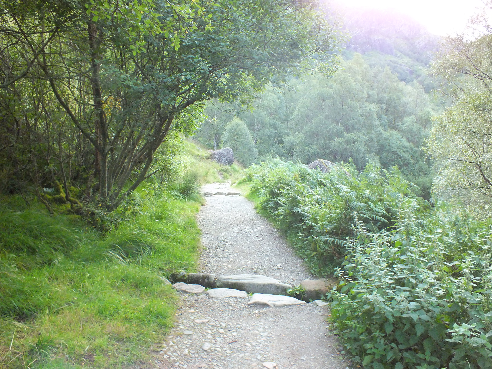
Excellent path
One of the biggest and most pleasant surprises when I set off walking was the sun was actually out, having said that it still wasn't overly warm. How often have we said that this summer?
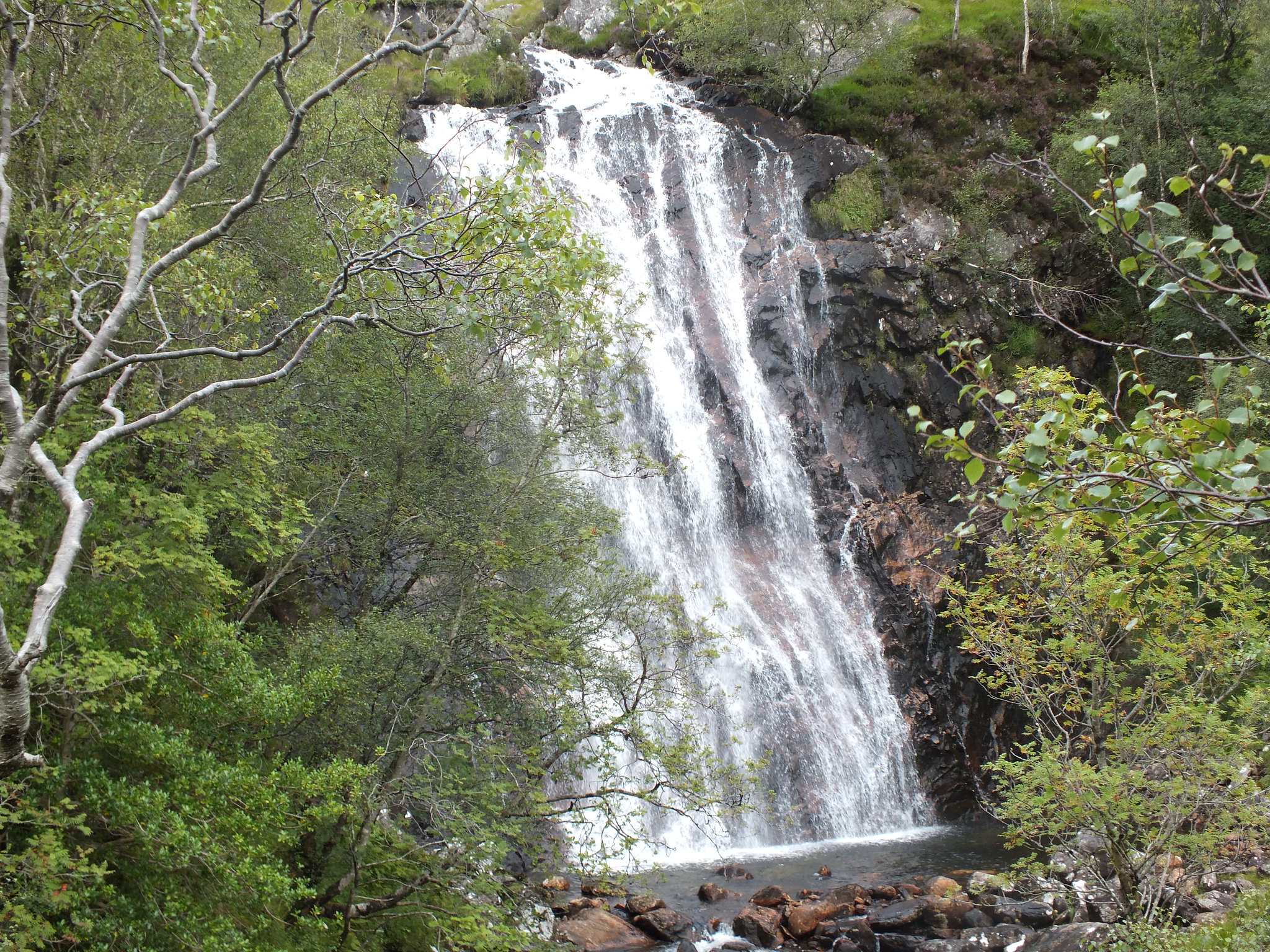
The route shares the path with the Ring of Steall and it wasn't long before the Steall Falls appeared and they still look rather impressive, I was almost tempted to venture onto the wire bridge but that can wait for another day.
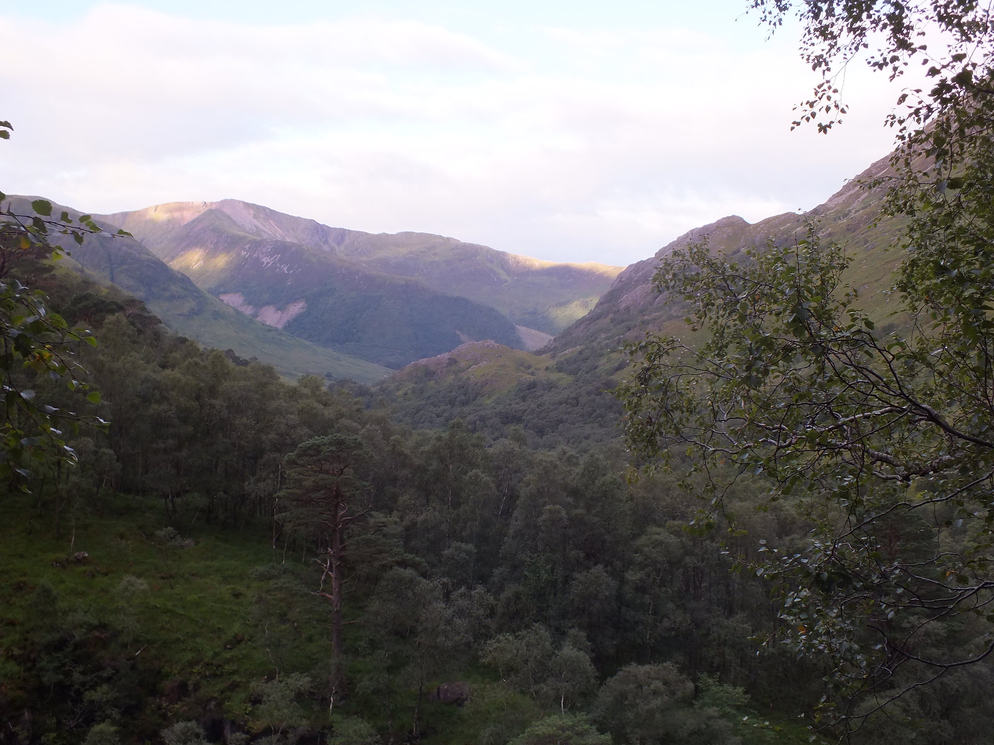
Glen Nevis with the early morning sun enhancing the view
The Water of Nevis heading down into Glen Nevis
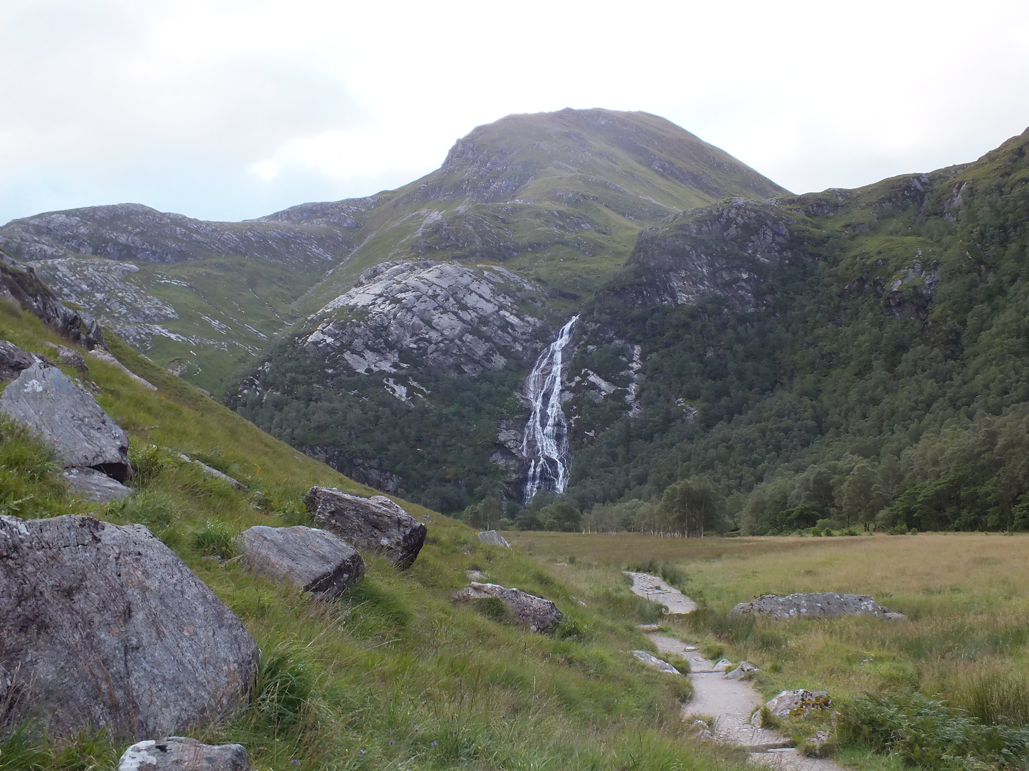
Steall Falls from a distance
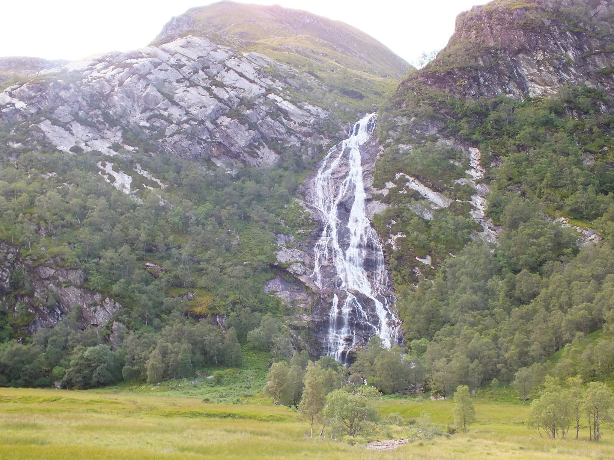
Falls from a bit closer
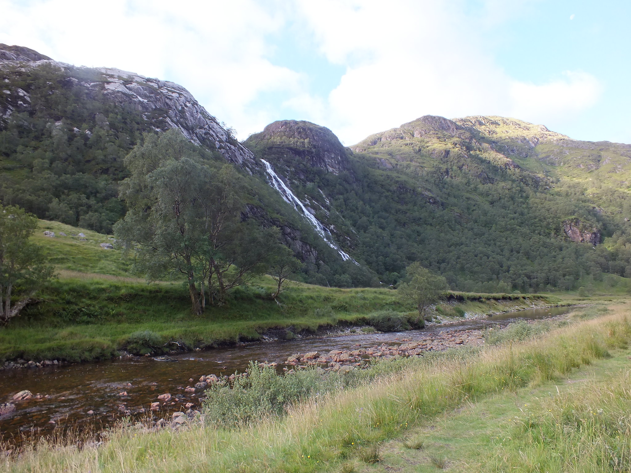
Looking back at the Falls
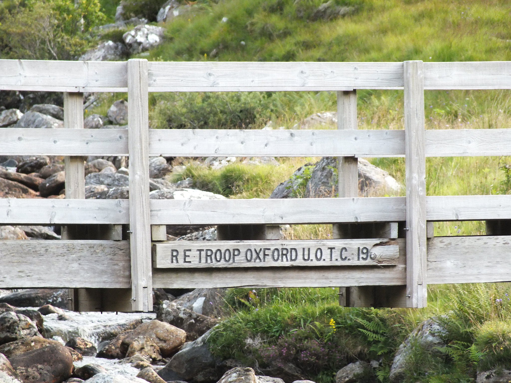
Having passed the Steall Falls the path heads east over flat ground, the next point of note is a nice wooden bridge, which is just before you reach the Steall ruins.
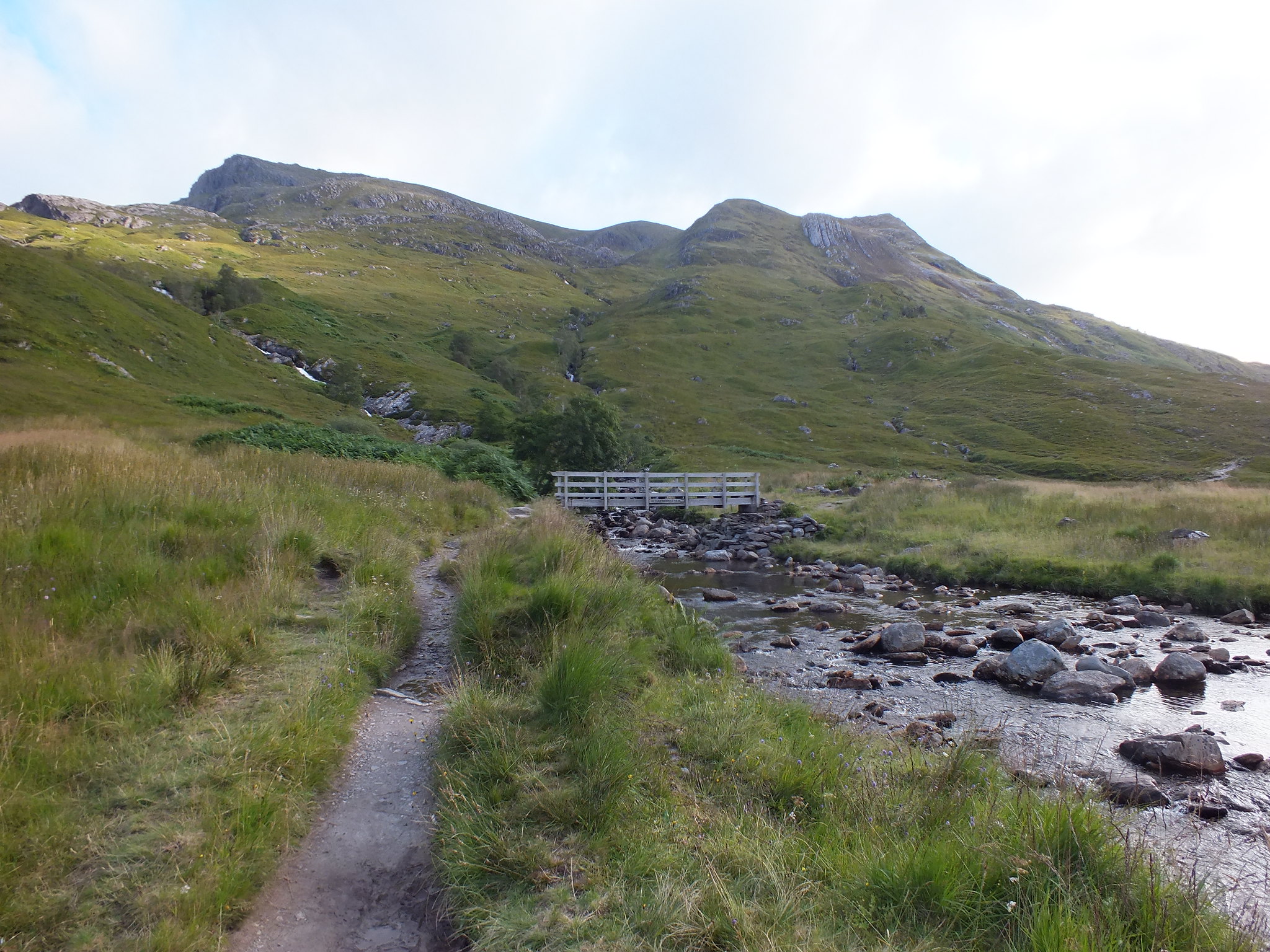
Wooden bridge with the start of the ascent in the background
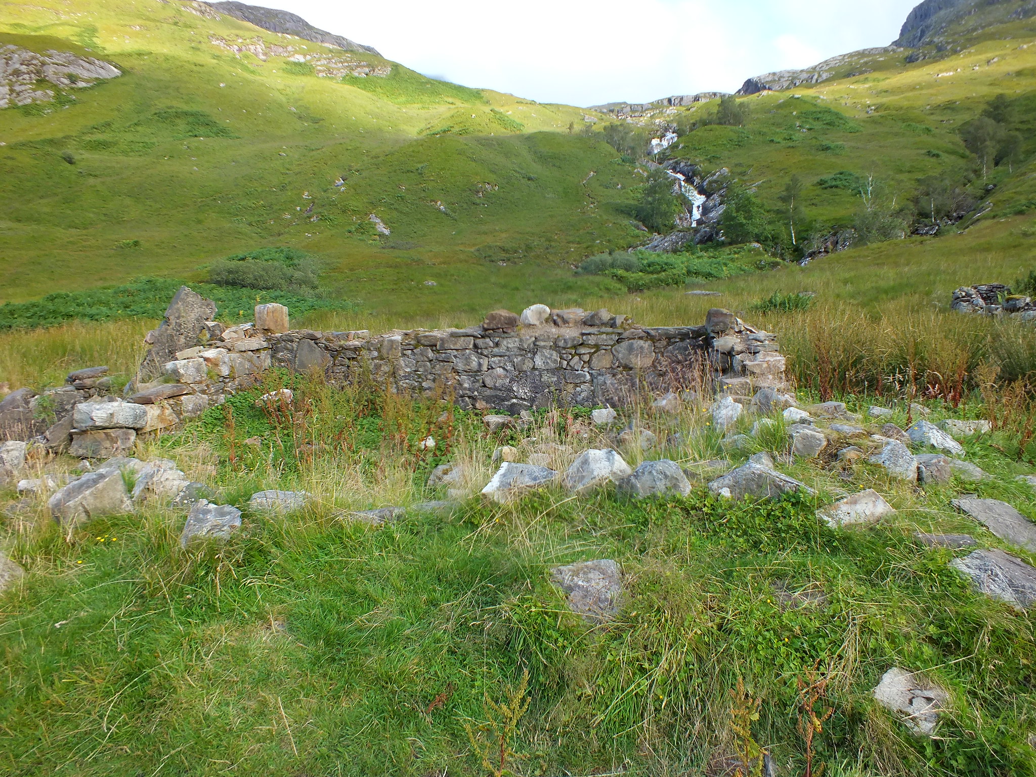
Steall ruins
[url=https://flic.kr/p/xTupoG]
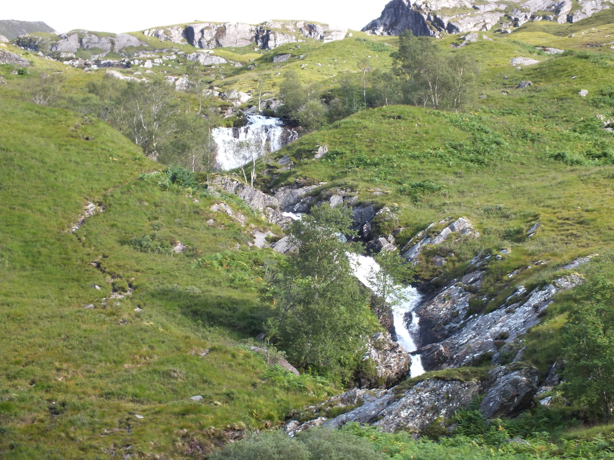
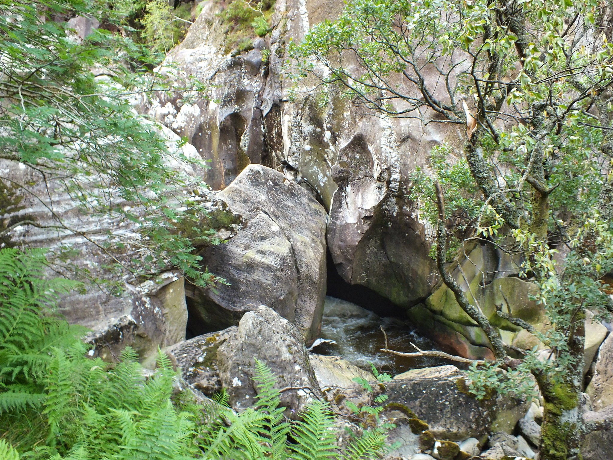
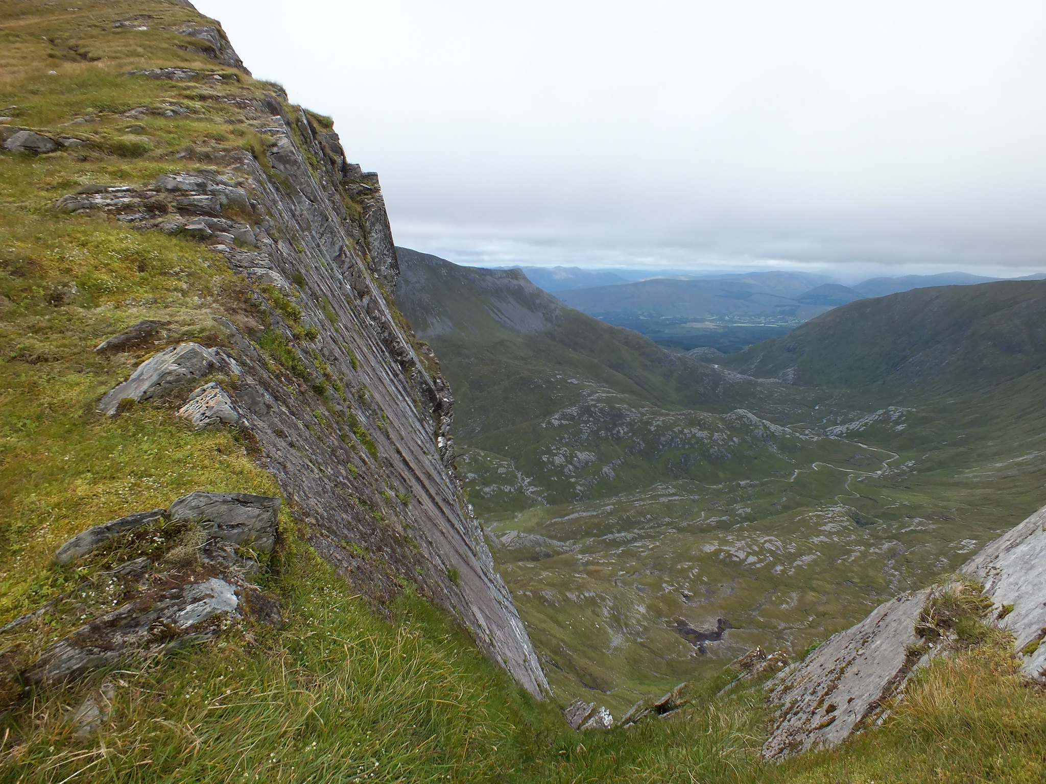
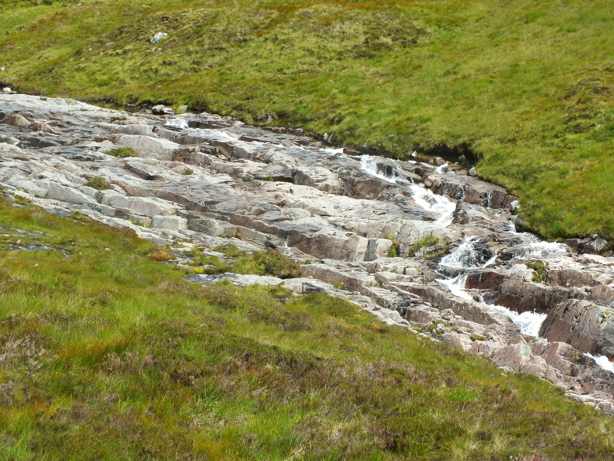
One of many water features, the route up is to the right of the burn, the way down is to the left
The initial path uphill wasn't too bad, a bit of stone hopping was required to try & keep the boots dry. After a about half an hours trudging uphill the path just disappeared, so I scanned the terrain ahead and selected what looked like a decent point to head for. I was also using the WH GPX route.
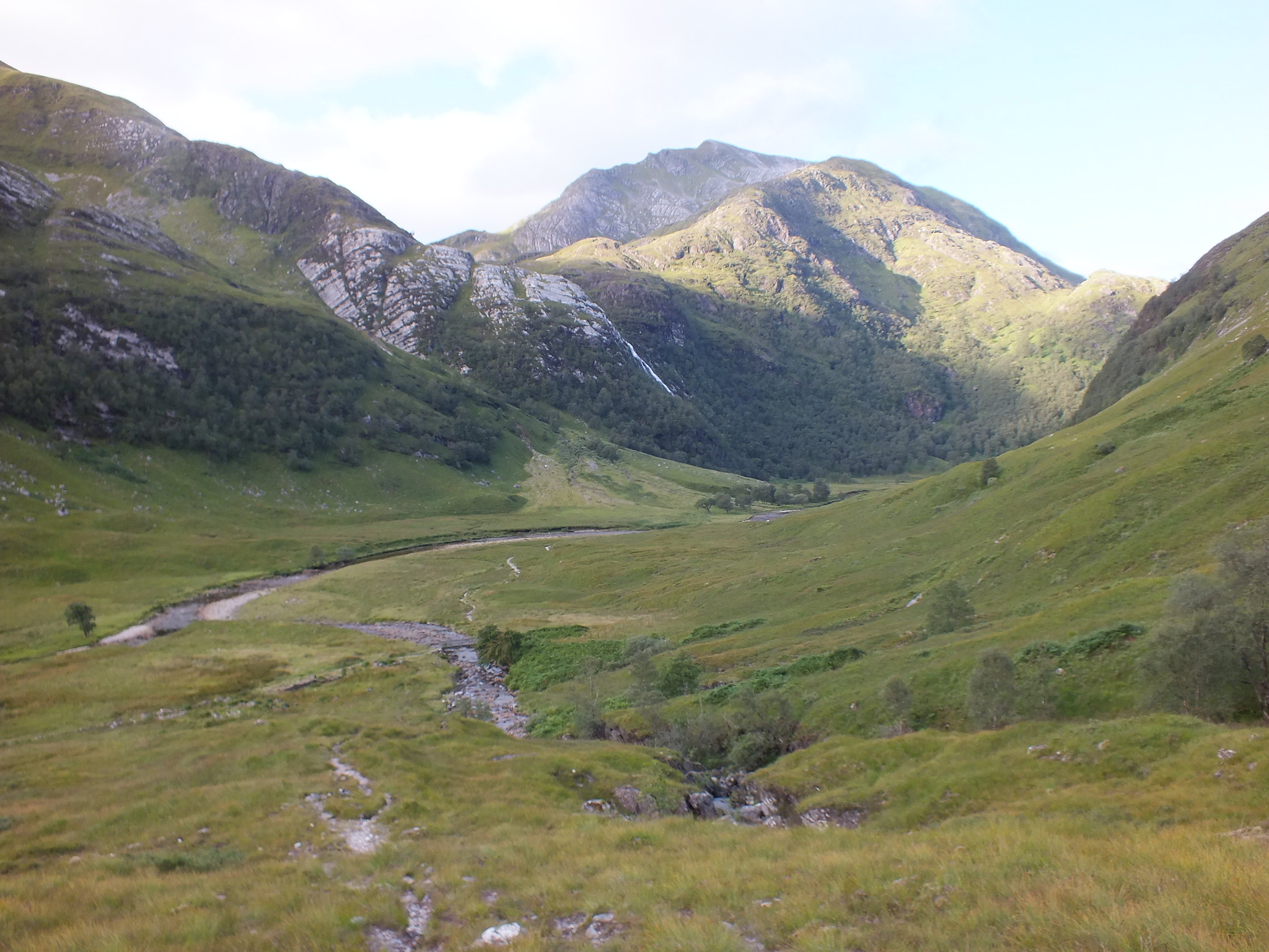
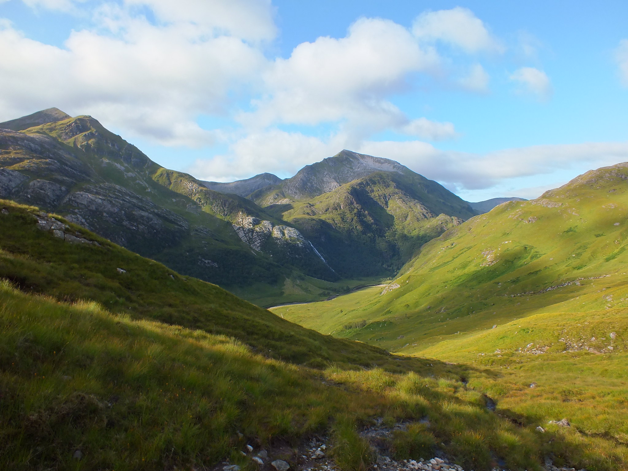
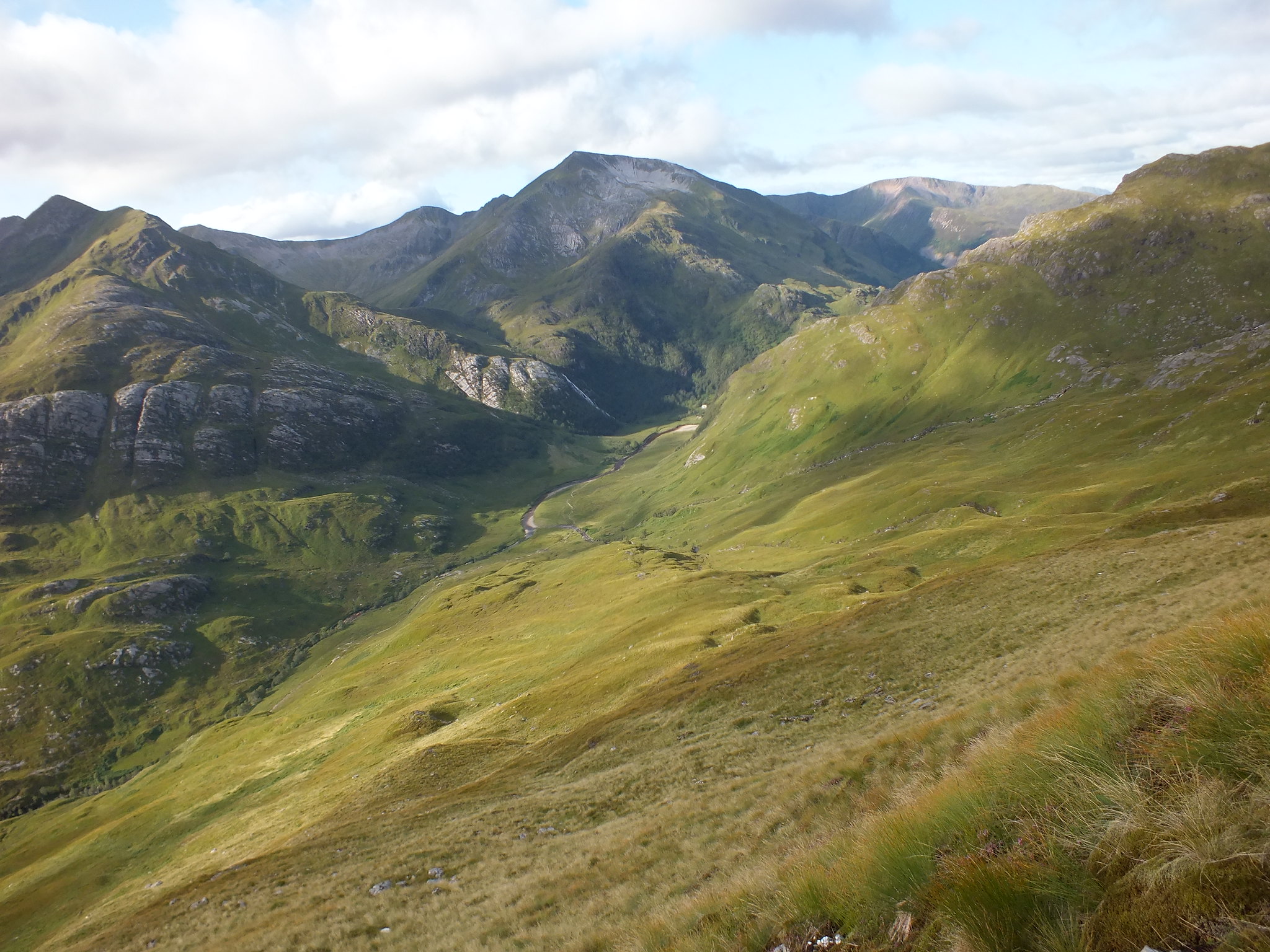
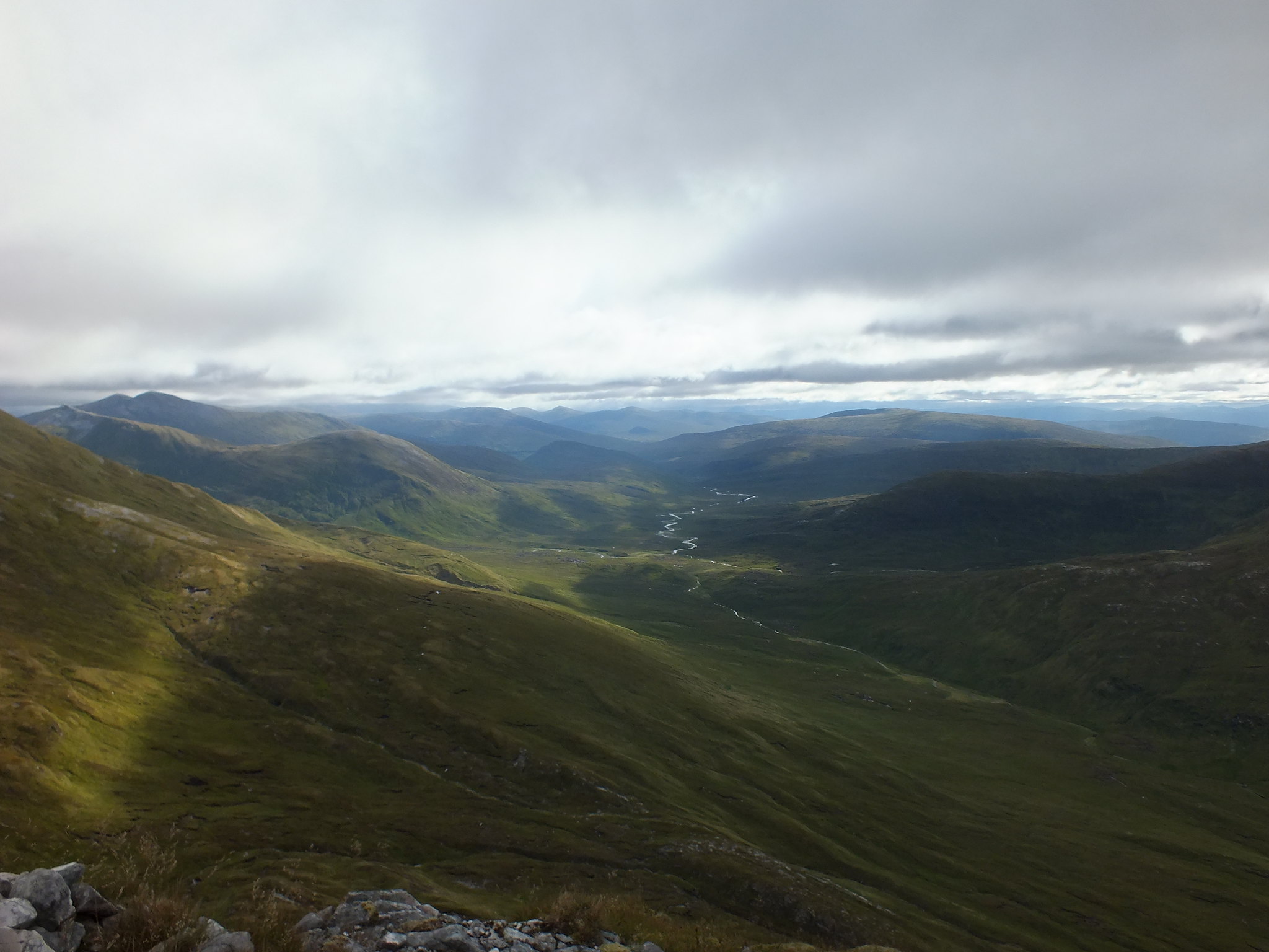
It was hard going as the grassy slope was damp and it was difficult to get a decent grip, after what seemed like numerous stops purely for photo stops of course. The views behind were awesome, dominated by the Ring of Steall & the Mamores.
Looking back down
From a bit higher up
Looking SE
Angle of ascent shot
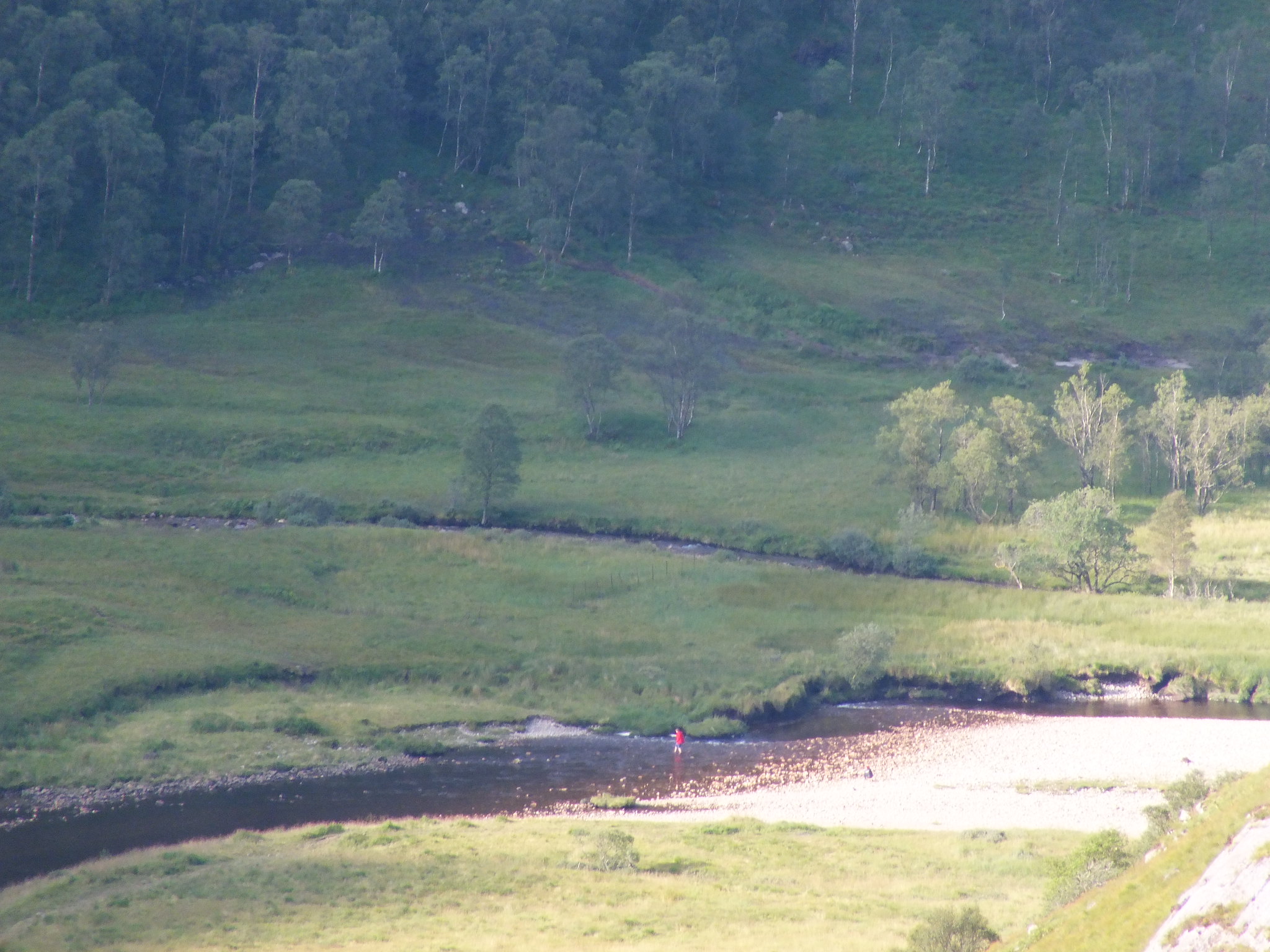
Spotted someone wading, so zoomed right in
Another look back
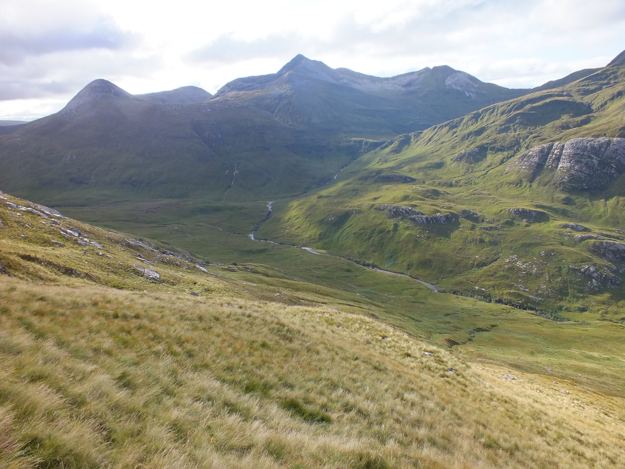
Mamores
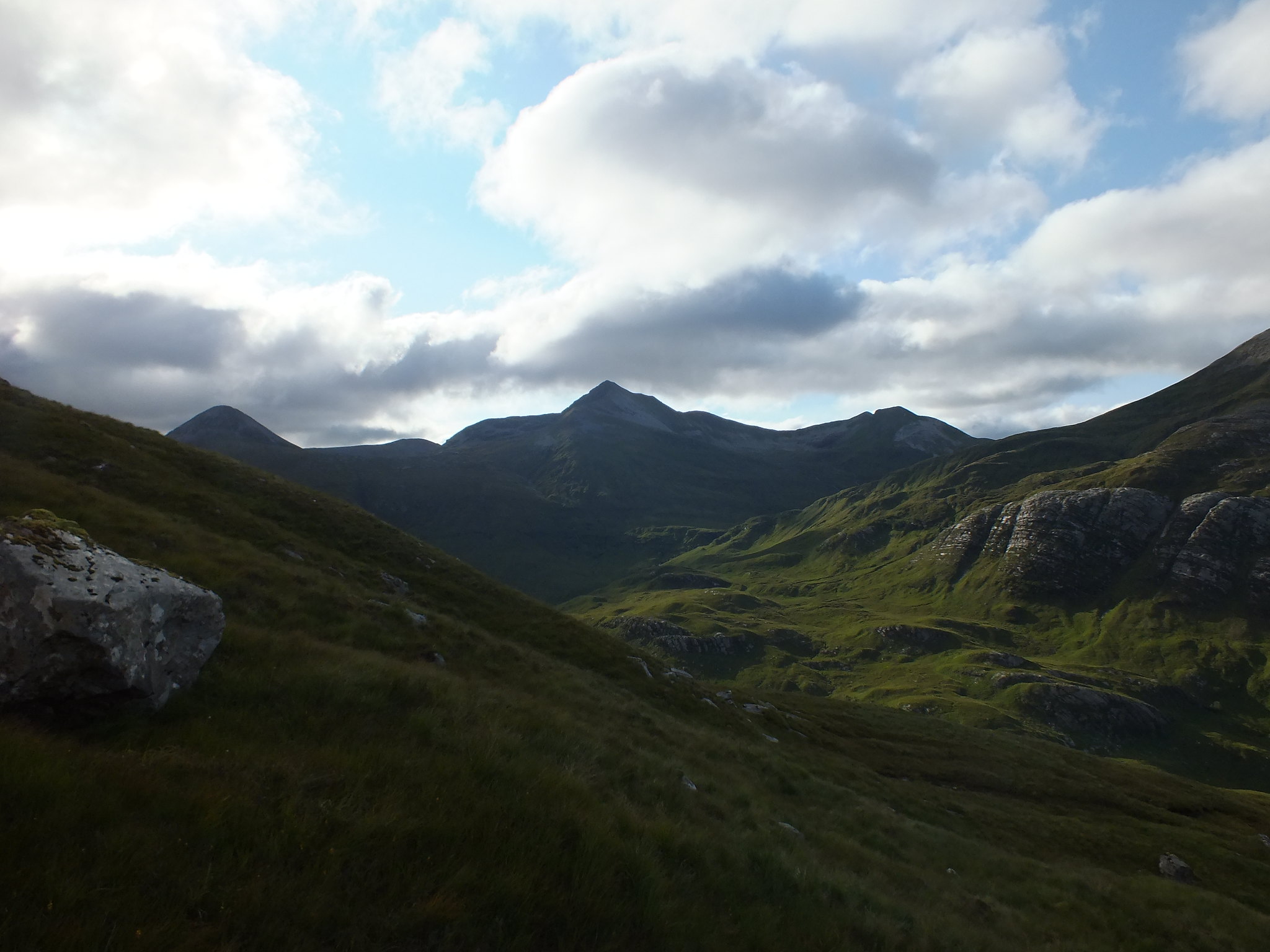
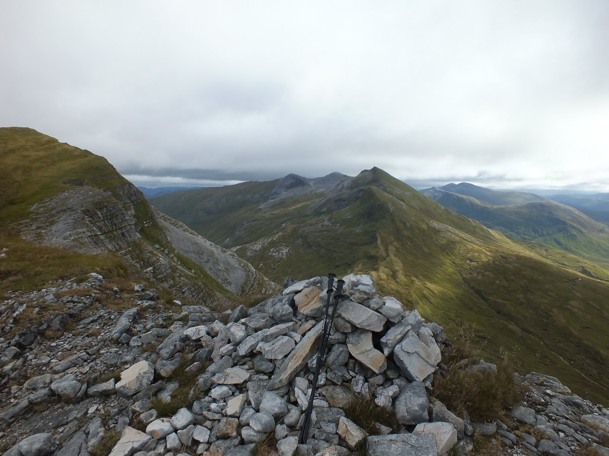
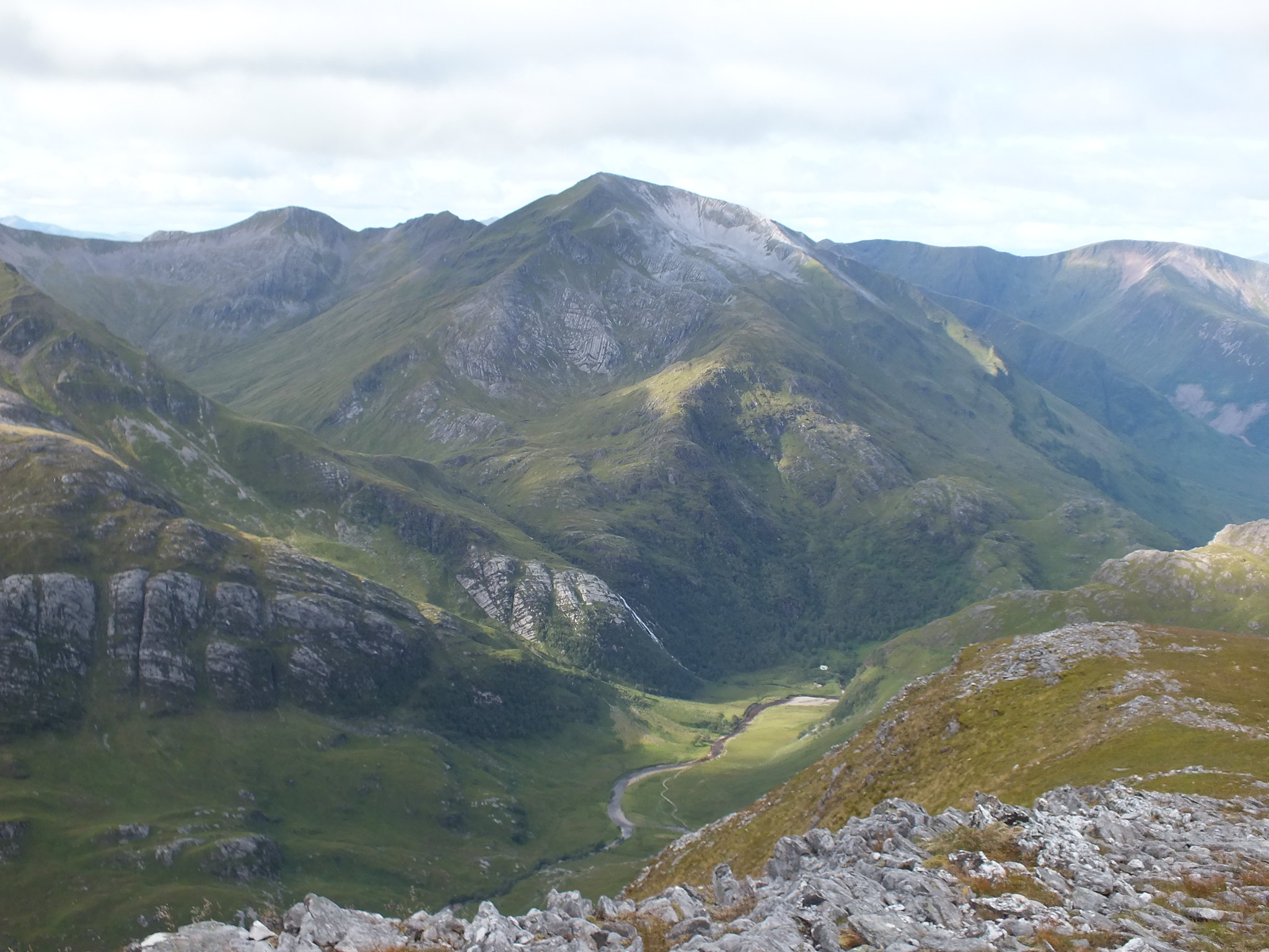
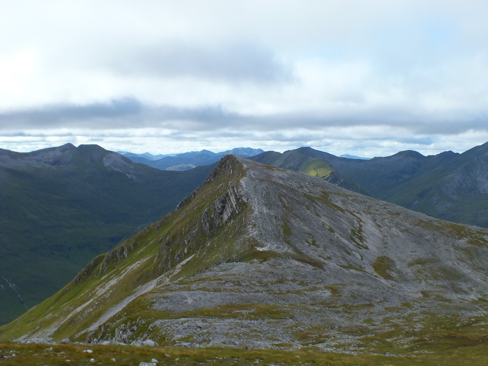
As I got higher the views were improving all the time, I headed up the boulder field that took me to the cairn on Sgurr a' Bhuic. It is a fantastic viewing point for all the nearby hills, the Grey Corries, Mamores & of course Ring of Steall.
Looking eastish
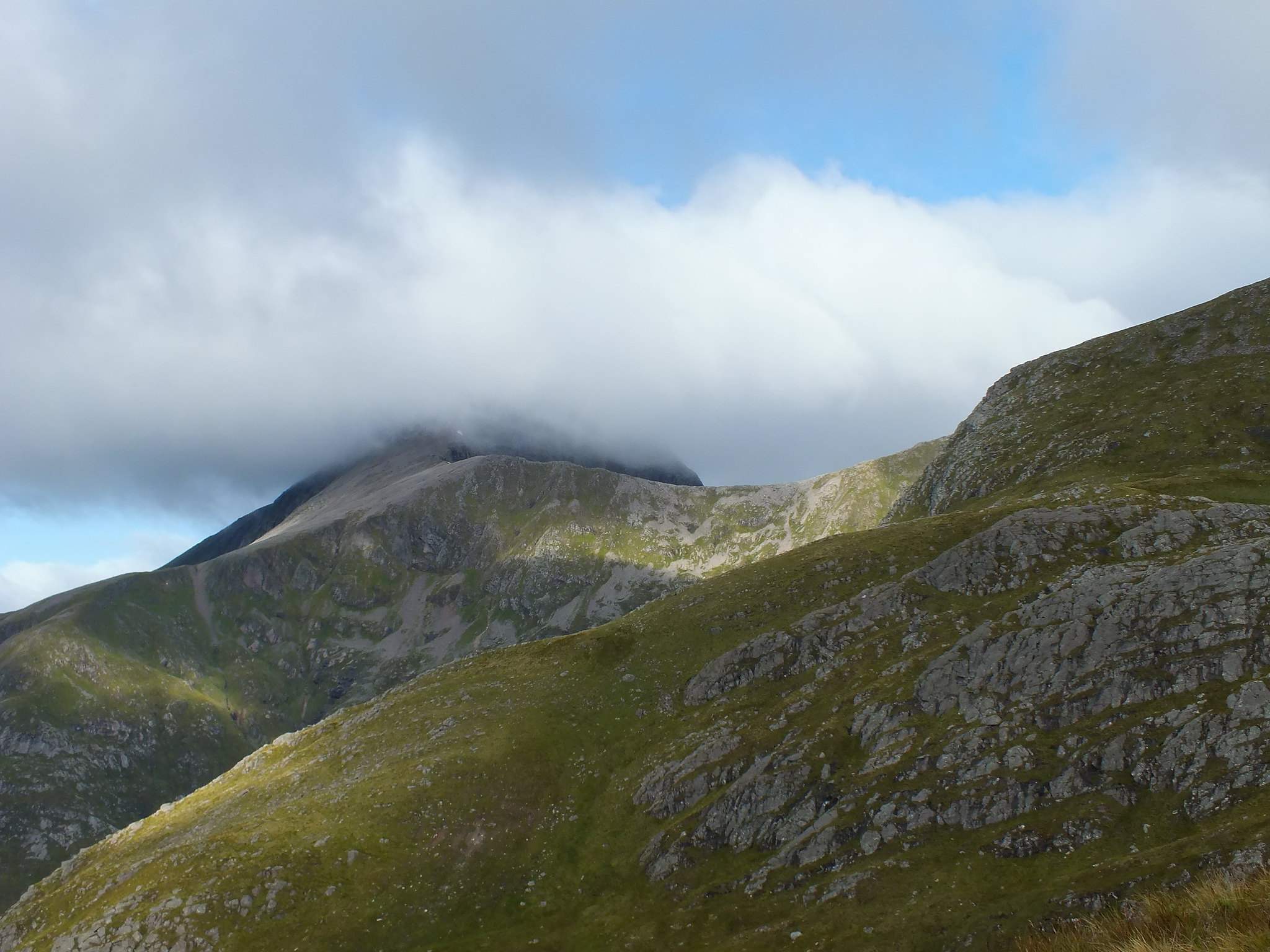
The Ben with it's own cloud system
Looking east
Steall Falls look tiny
East again
Clag coming
Looking NE
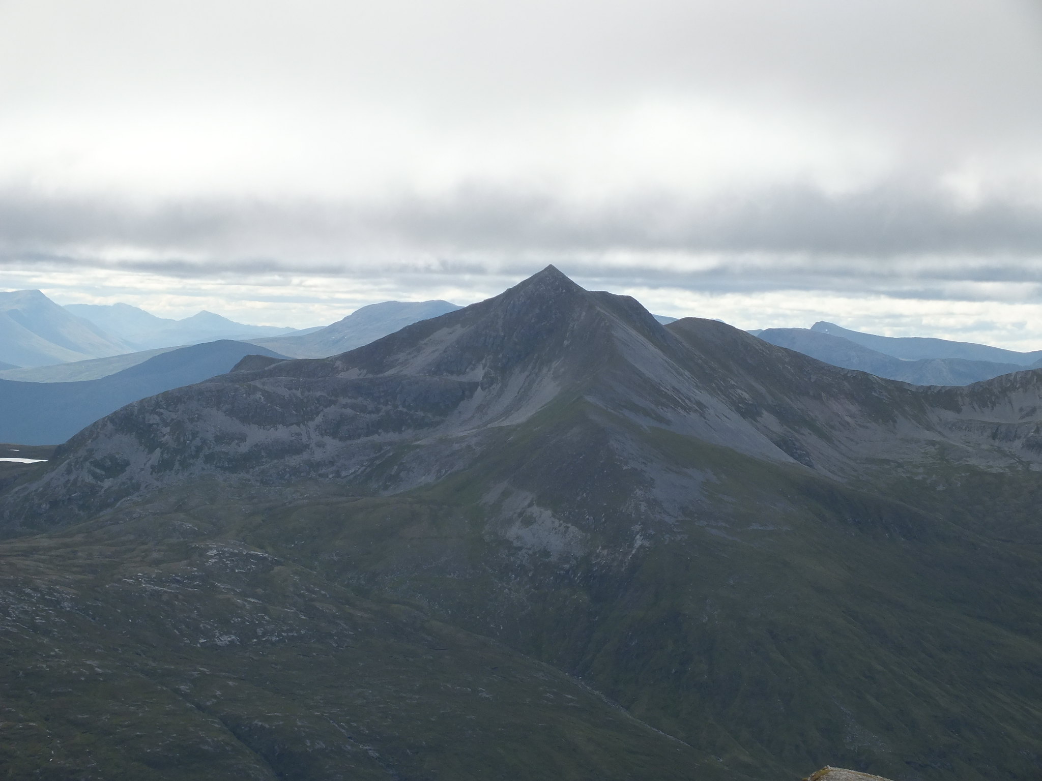
Mamores
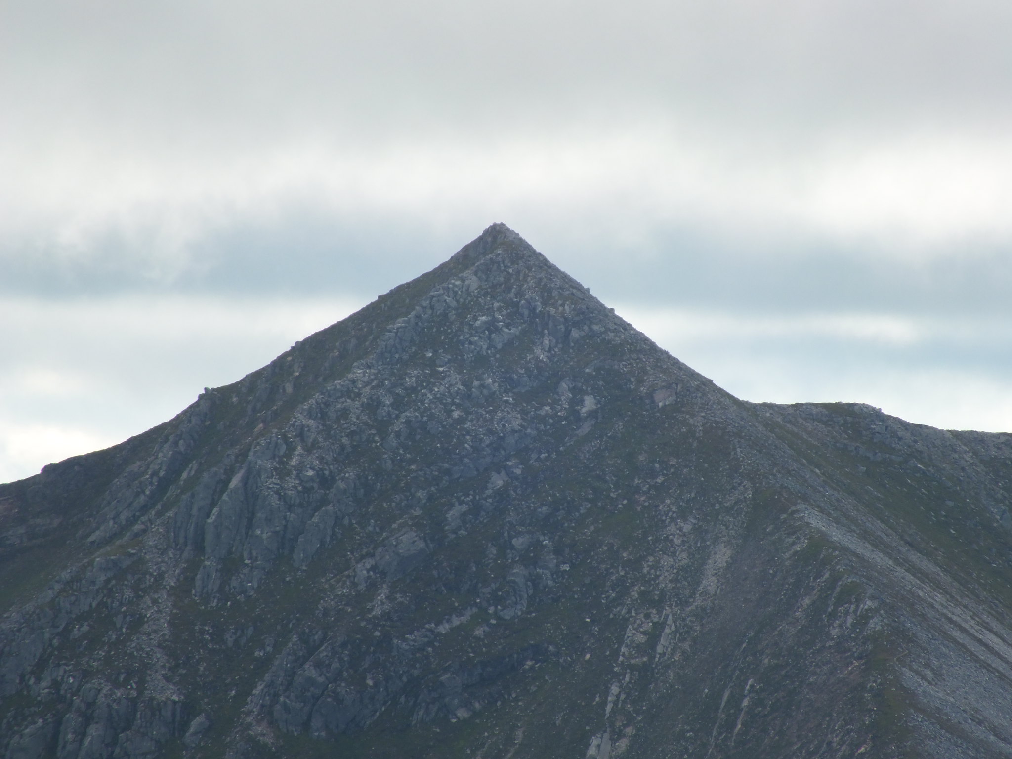
Binnein Mor zoomed, looking superbly pointy
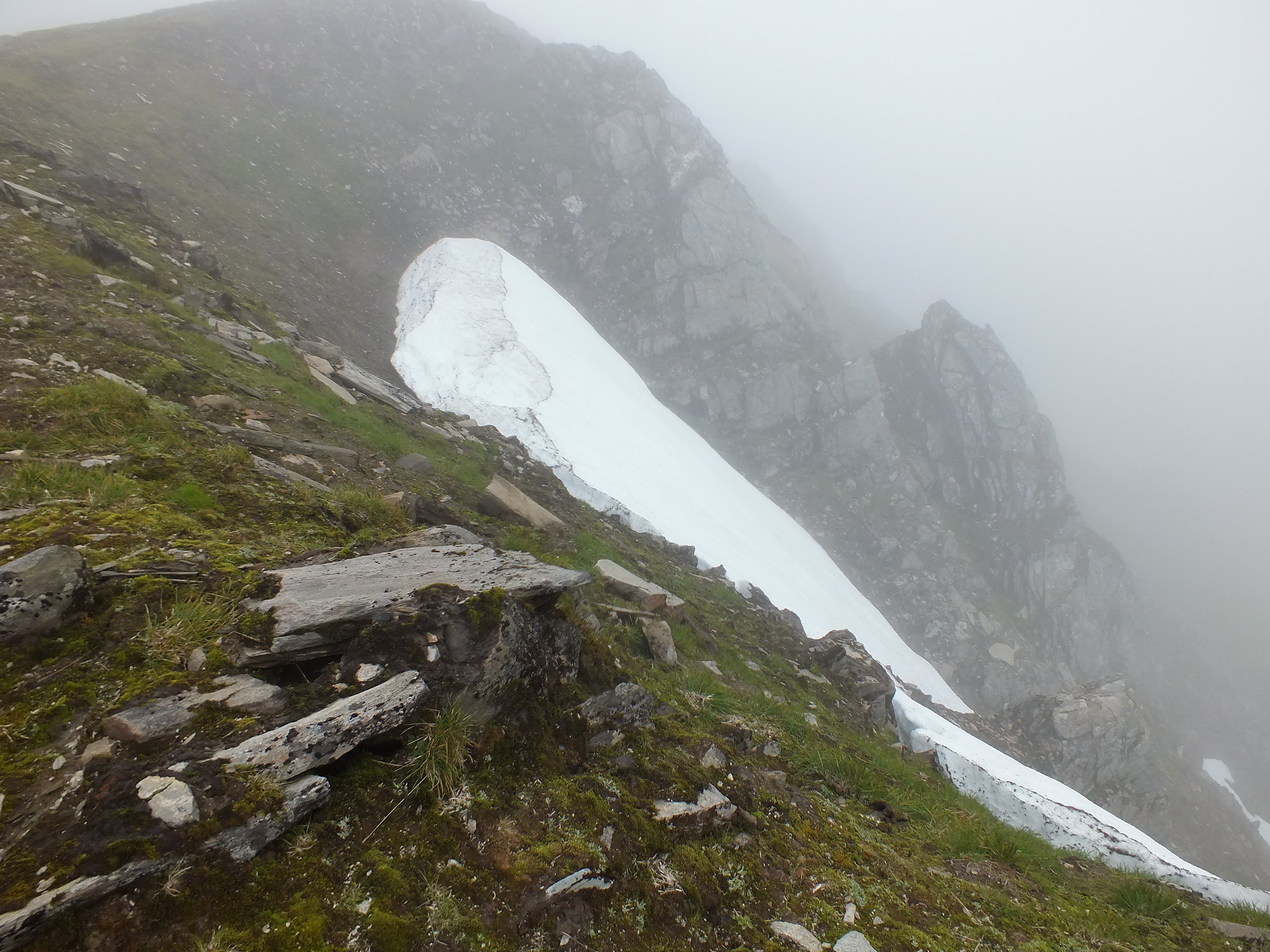
Still a few patches of snow
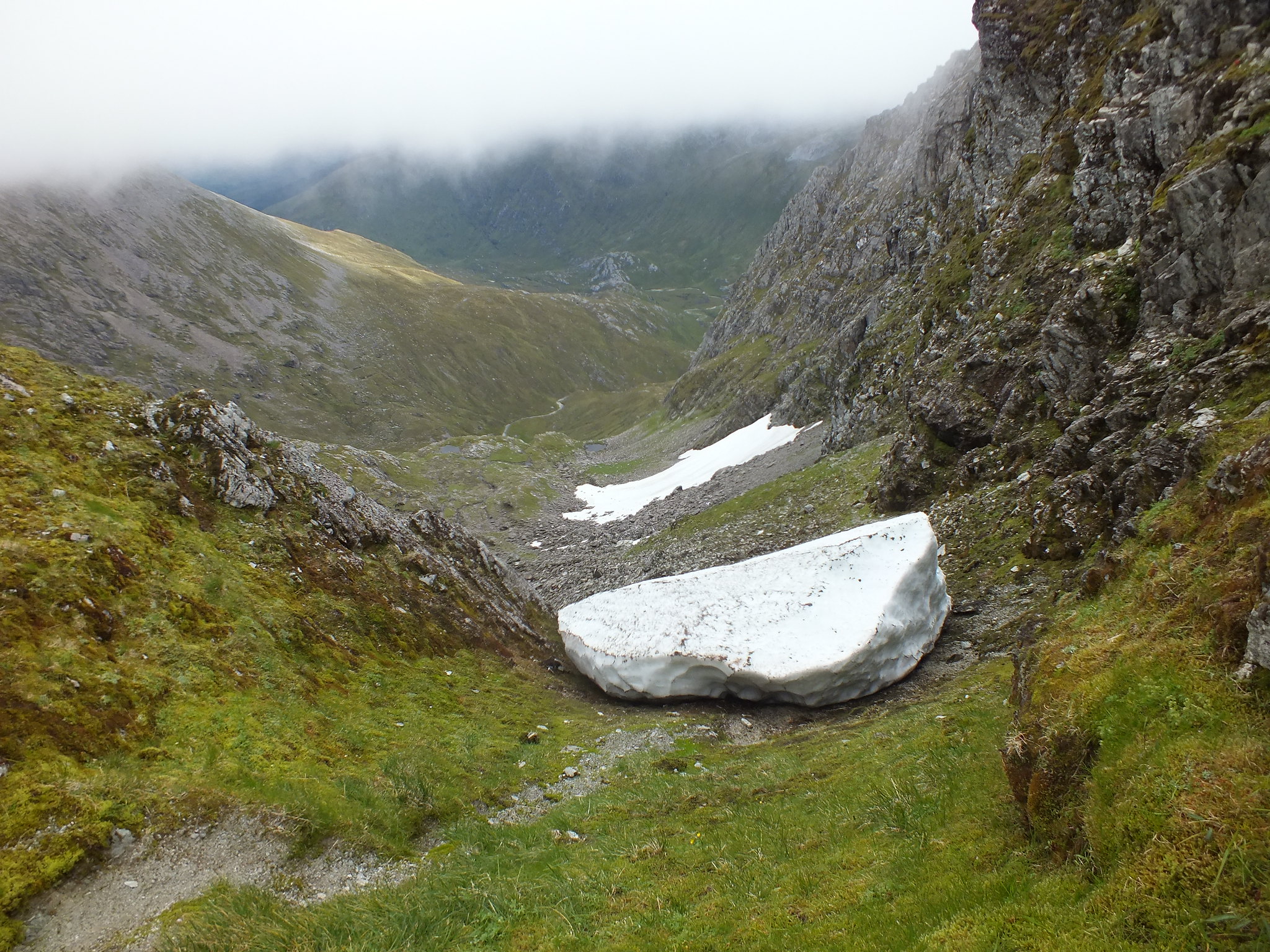
Big chunk just waiting for a push
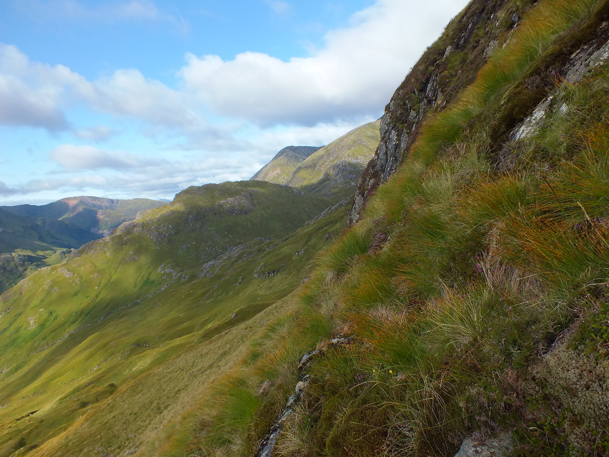
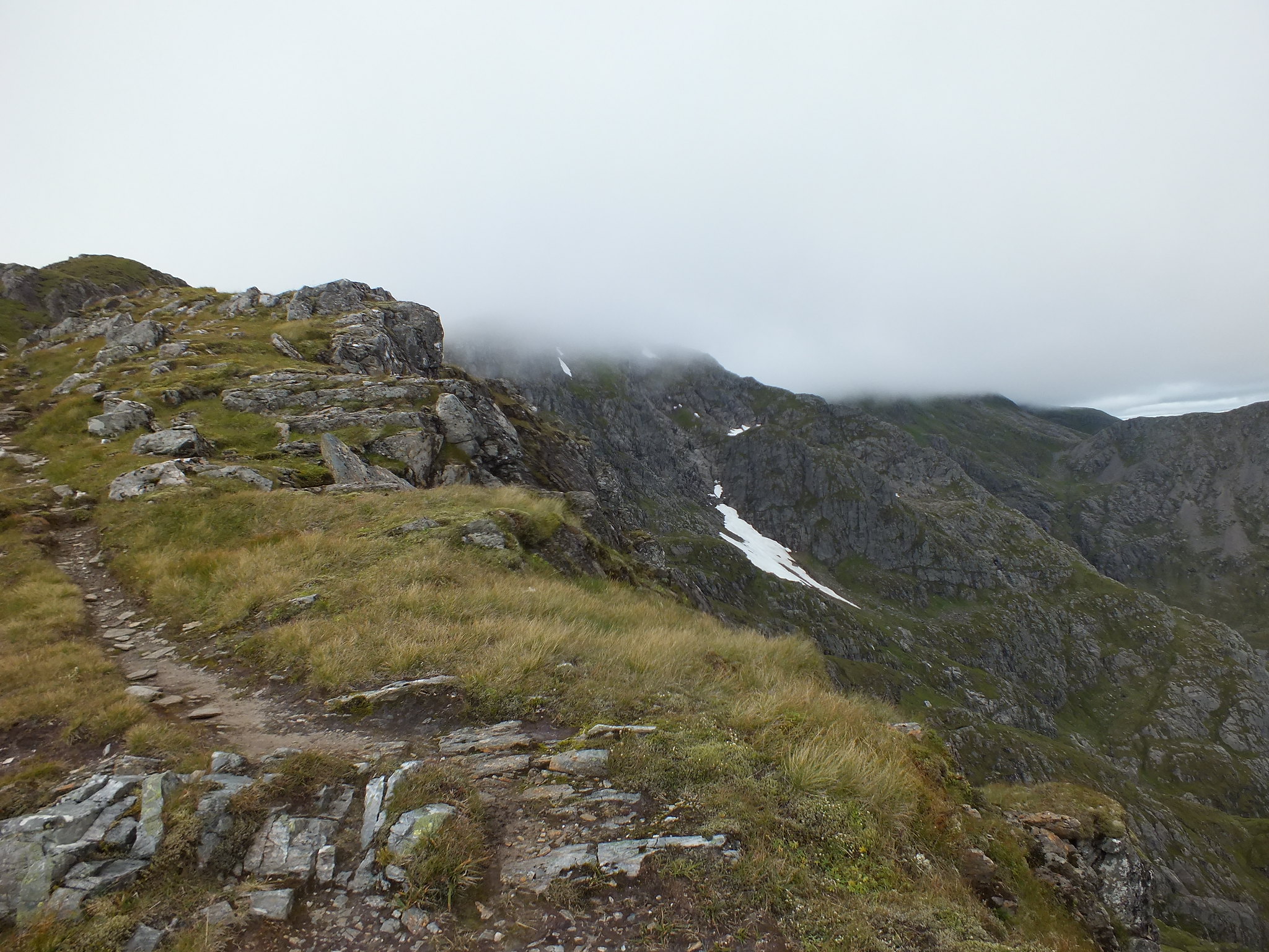
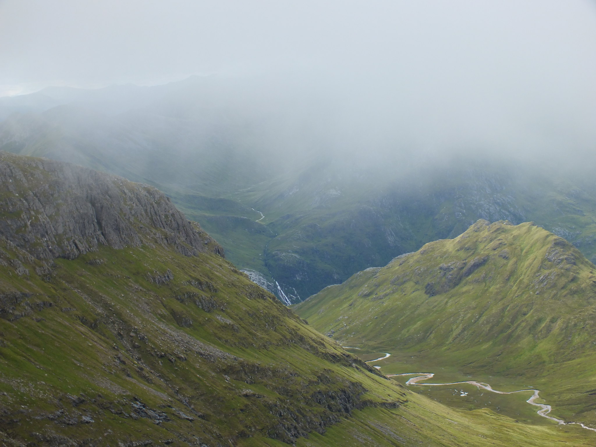
There is a short descent down the boulders before the ascent starts again. As I neared the top of Stob Coire a Chul Choire, the clag set in, so that was the end of the views
Looking back to Sgurr a' Bhuic
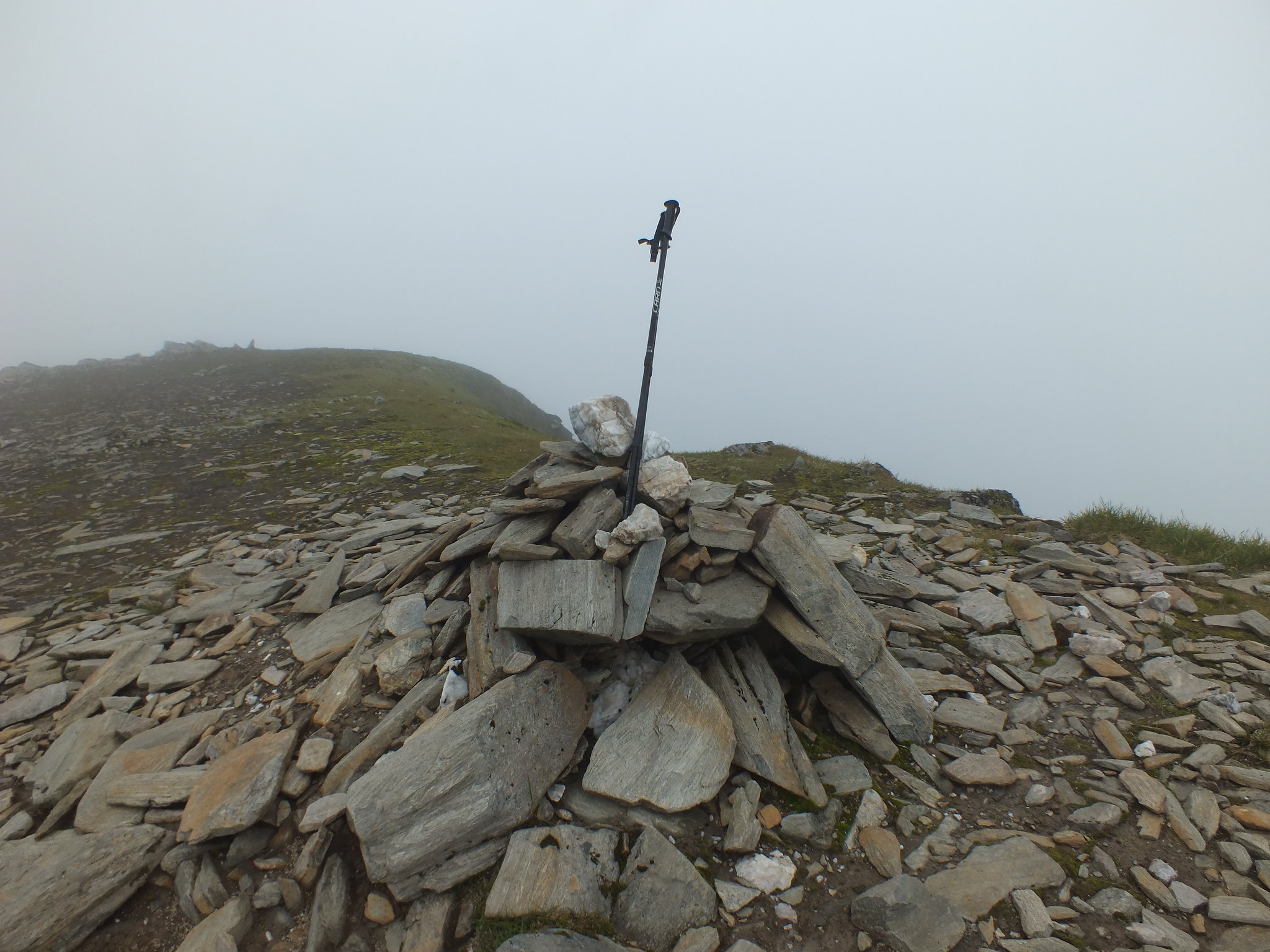
Summit cairn on Beag
I didn't linger long on the summit of Aonach Beag, hardly any point as it was rather chilly and I couldn't see anything.
After what seemed like a short descent down a good well defined path, the final push up to Aonach Mor began. Whilst on the ascent I met a chap who was heading in the opposite direction, he hadn't seen anyone before me
A short time later the summit of Aonach Mor was reached, there is a much bigger cairn to greet the weary walker, I took a couple of selfies but they weren't up to scratch and failed to make the grade for posting
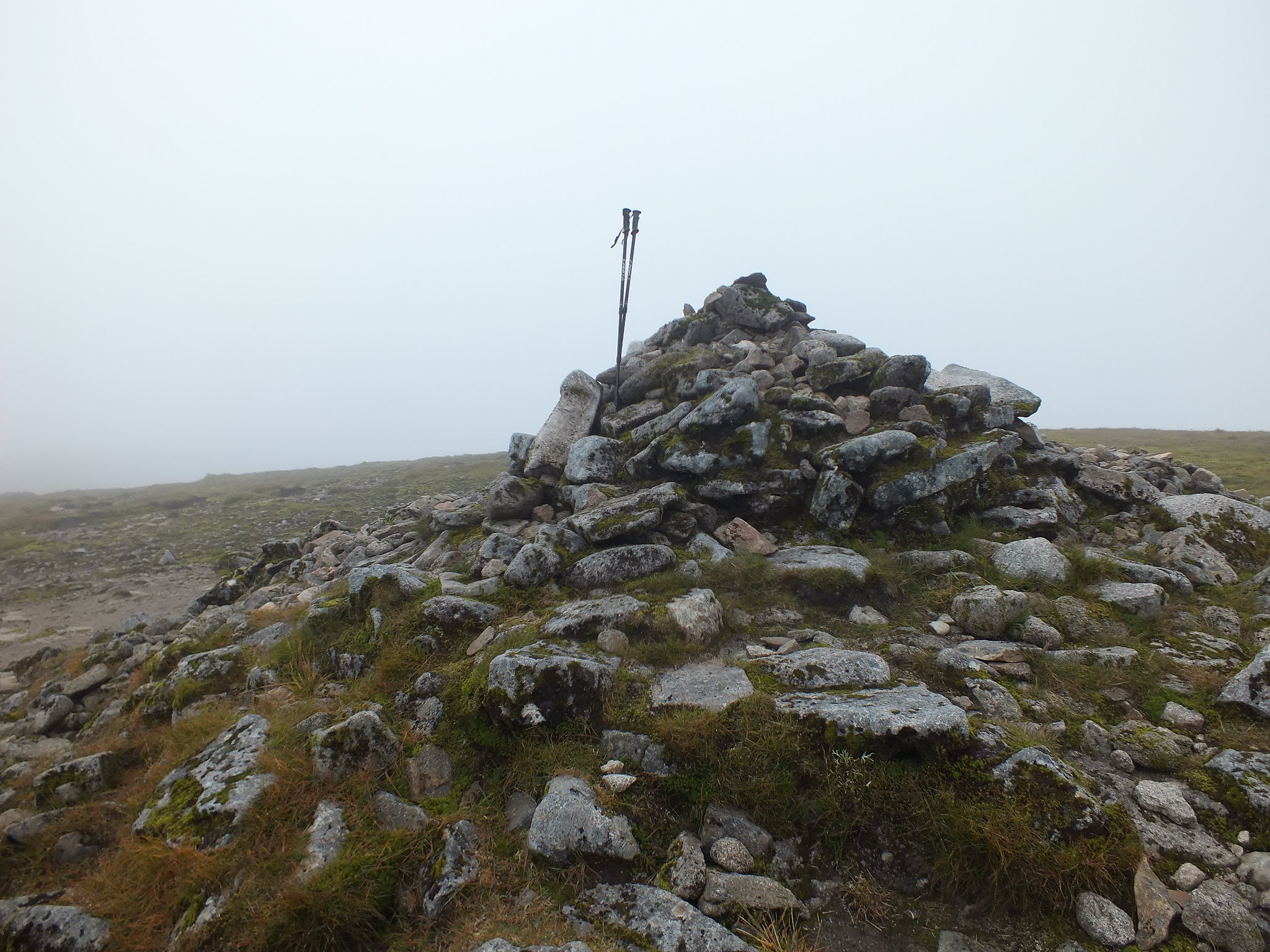
Summit cairn on Mor
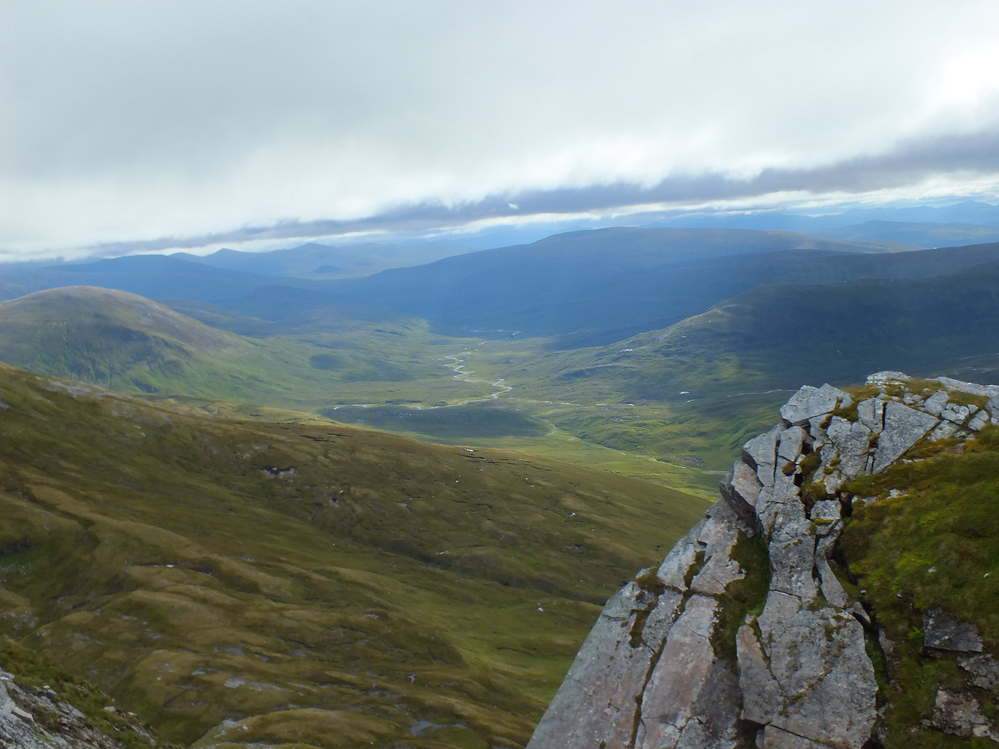
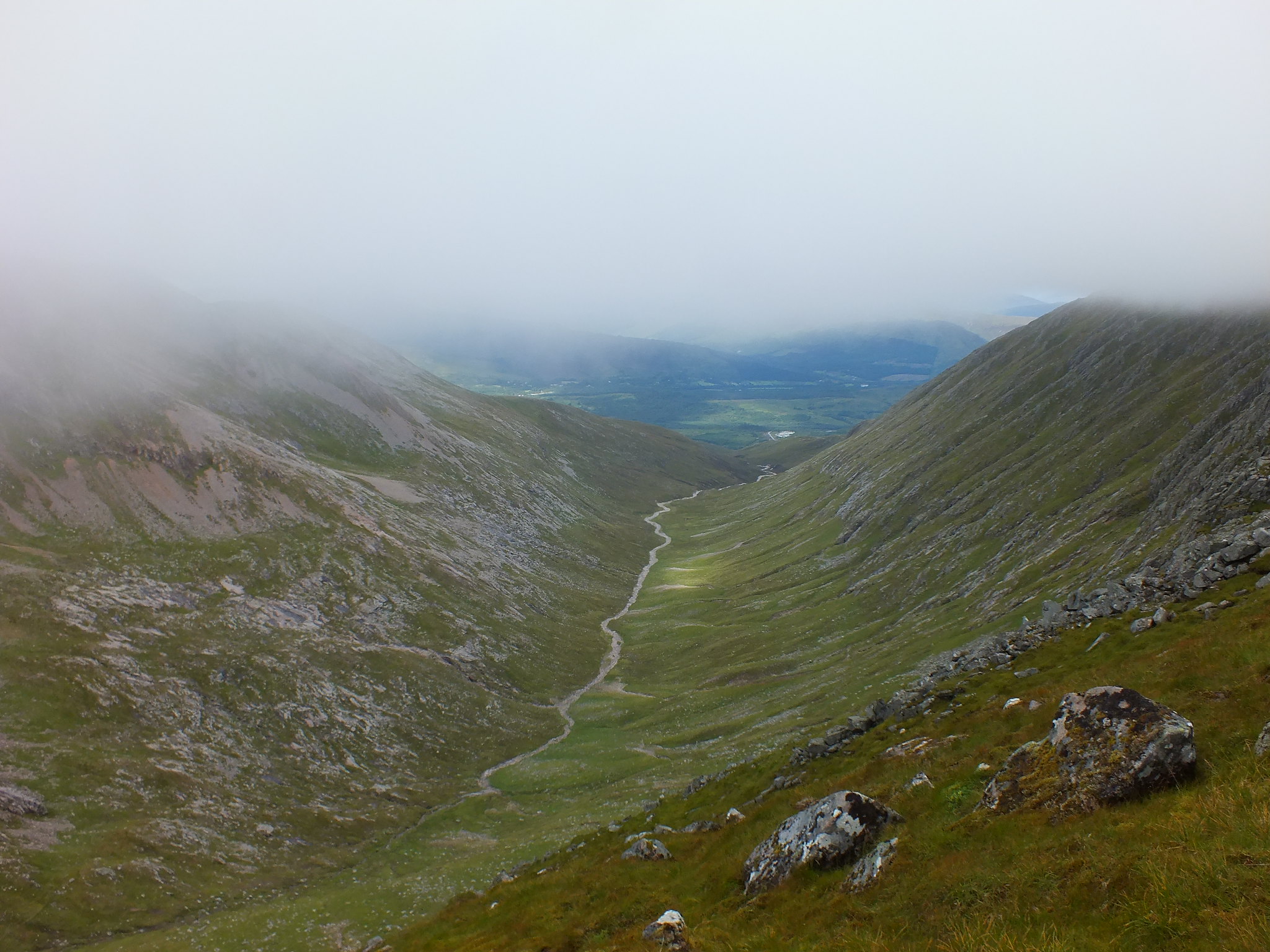
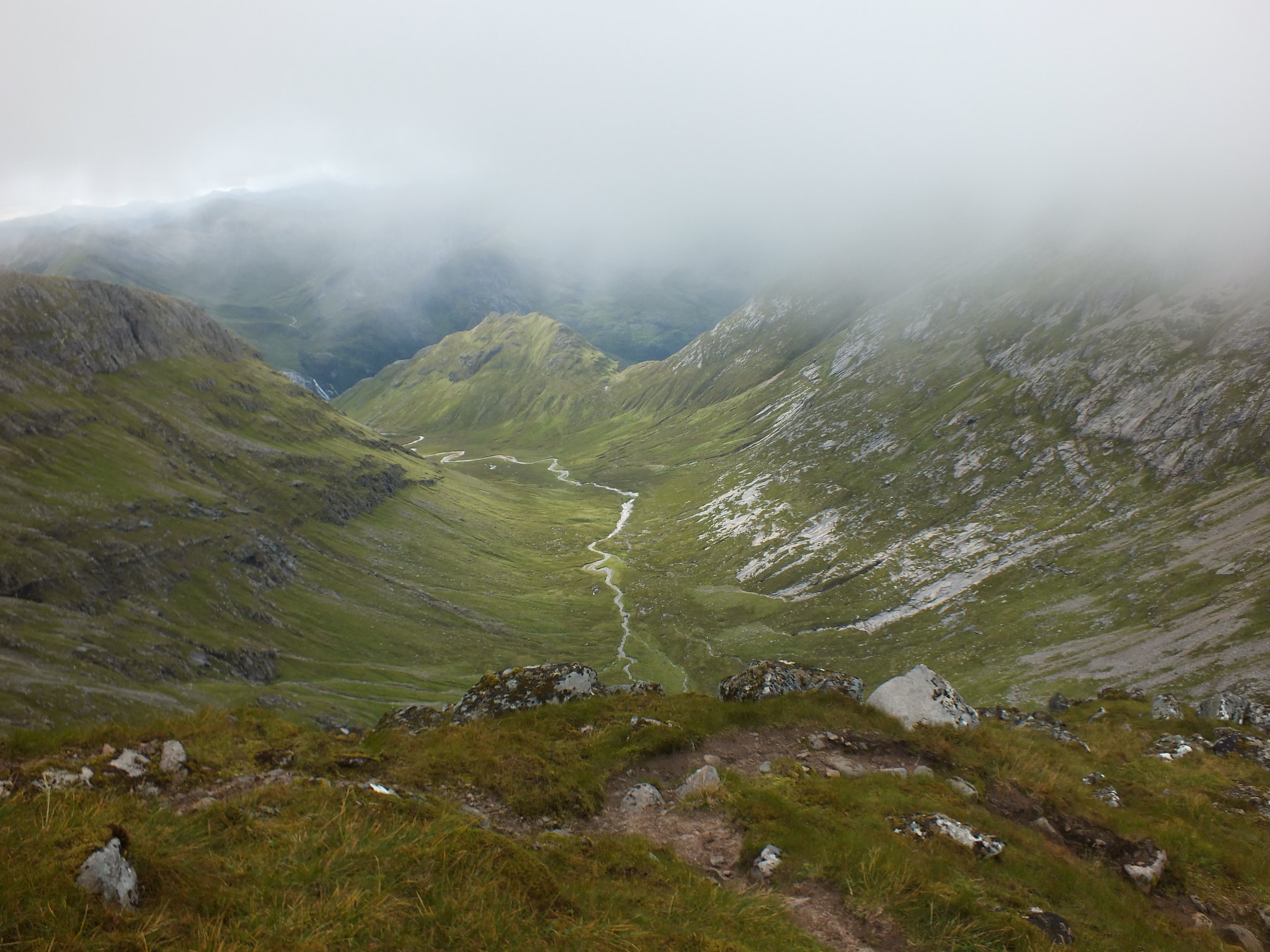
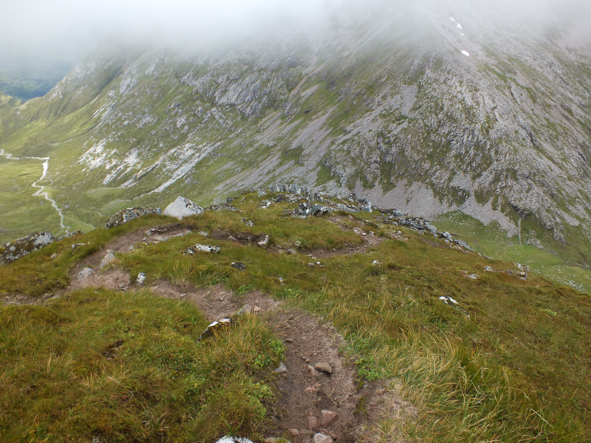
As on the previous summit it was too cold to hang around, now it was a matter of heading back the way I came and trying to pick up the 'faint' path that would lead me down. This is where my phone came in really useful, especially as the visibility was very poor. Initially the path was hardly noticeable but it soon became a well trodden path, gradually heading downhill. It wasn't long before the gradual descent turned into "serious" descending. The path was badly eroded and the loose dirt/stones wasn't an ideal surface to descend on. The path zig=zagged and then as if by magic I arrived below the cloud base and could see how far I still had to descend
Looking north
Looking south
The path down
The Steall Falls in the far distance
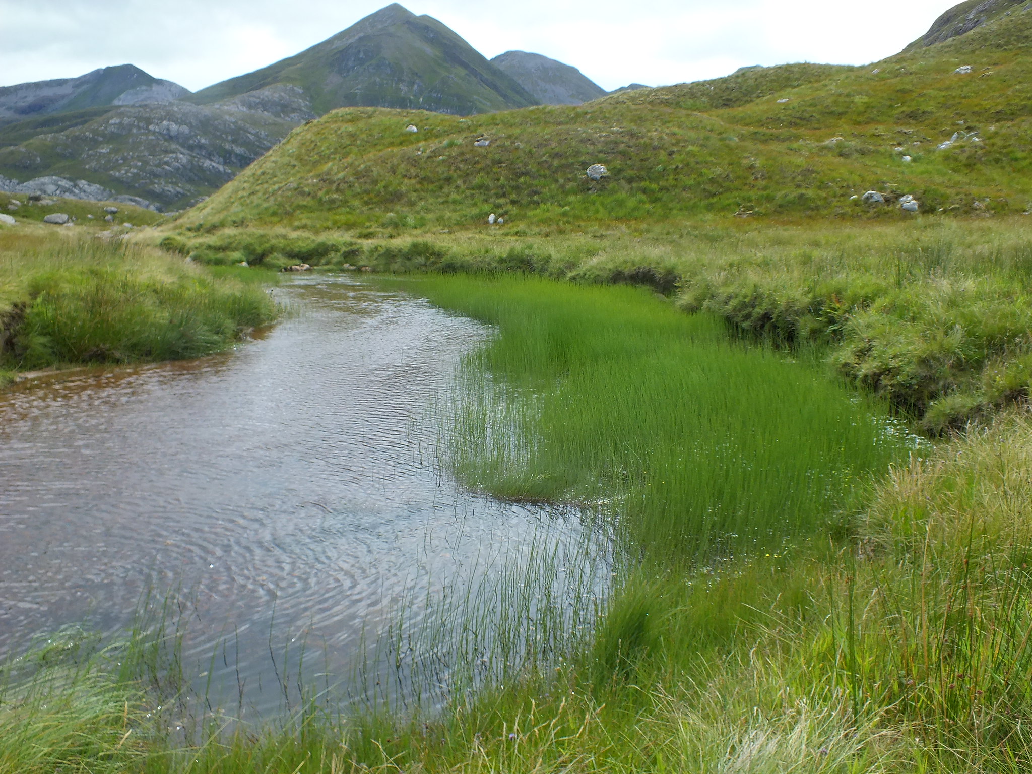
Once I reached the bealach between Aonach Mor & Carn Mor Dearg I felt very relieved and knew that was the worst of the descent out of the way. I also knew that the rest of the walk back to the wooden bridge would be a matter of trying to keep my boots dry and I was reasonably successful, that is now 2 walks with dry feet
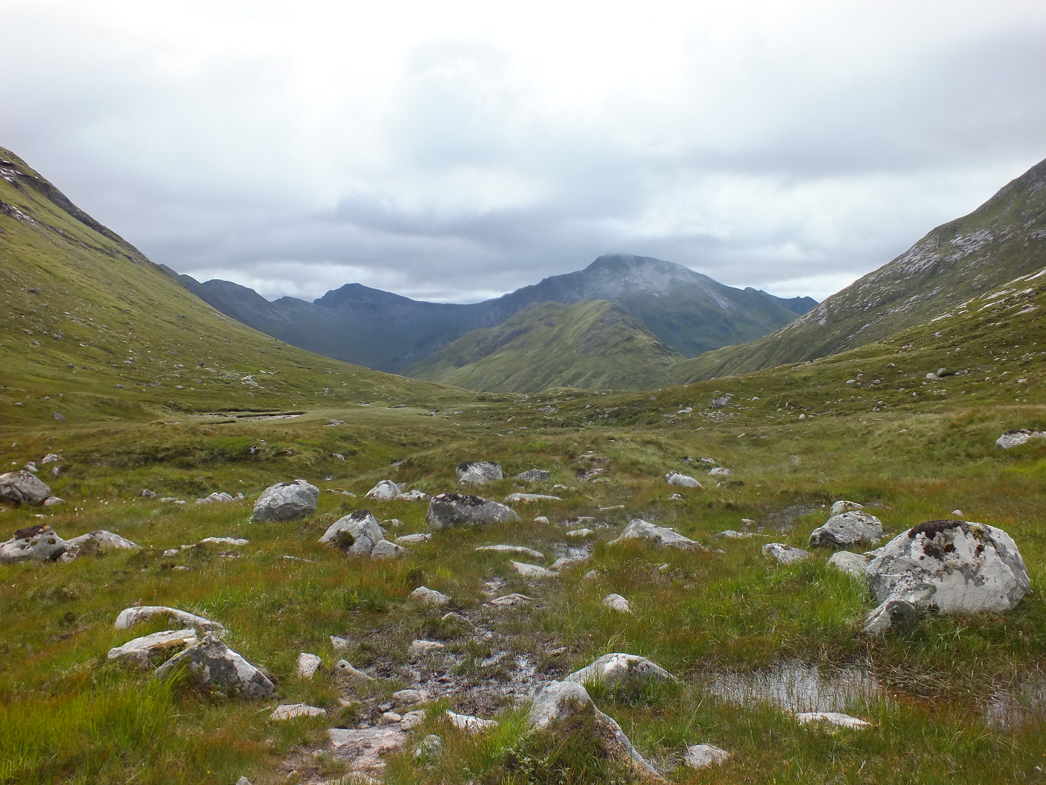
The way ahead
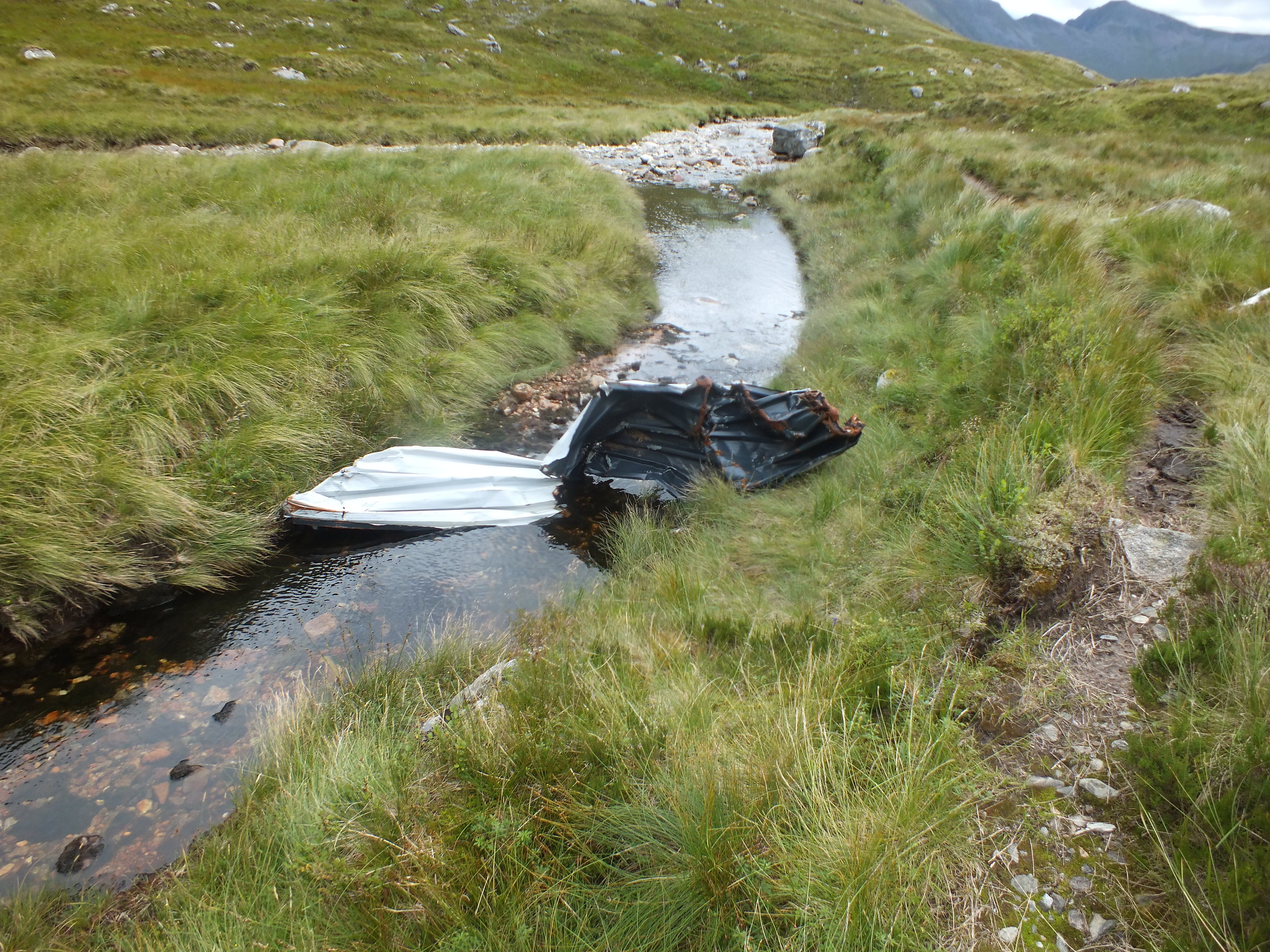
Large piece of litter, any suggestions?
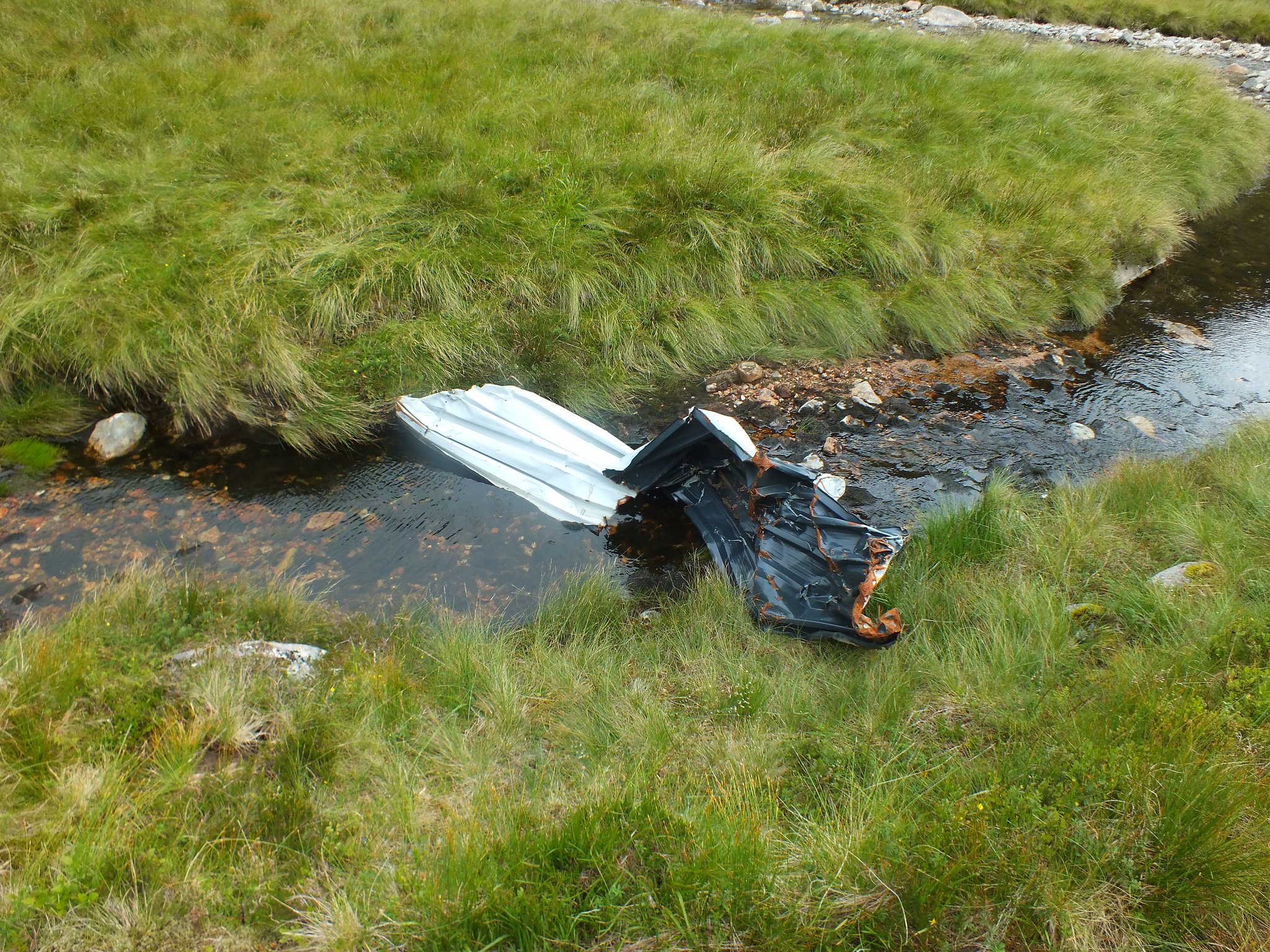
Too big to fit in my rucksack
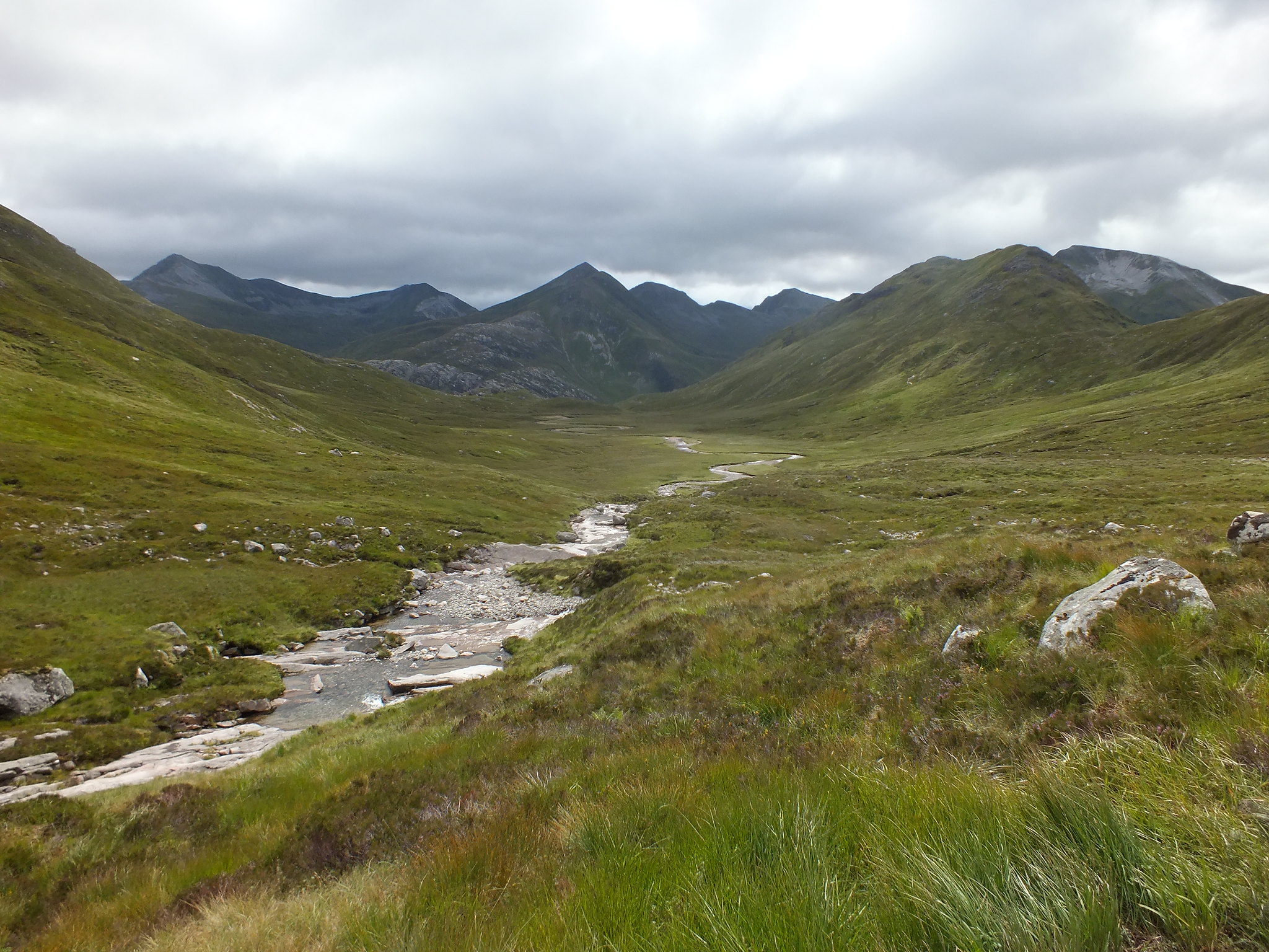
The path follows the burn, staying on the west side
1st of 3 water features
Interesting greenery
Nice waterfall
As I started the descent back down to the bridge I noticed quite a few folk walking on the main path, all of whom I would eventually catch up & have a chat with. The first couple were Americans and I was asked where I suddenly appeared from so I explained where I had been. They then asked if I could recommend a "hike" in Glencoe, so I got my map out & suggested Buachaille Etive Beag - hopefully they had a good day
Once I reached the wire bridge the number of 'day trippers' significantly increased and when I arrived back at the car park it was rather full
A great walk and I even enjoyed my own company
Next on the horizon is Torridon, hoping to head up there on Monday and meet up with Martin h, hopefully the improving weather will continue