free to be able to rate and comment on reports (as well as access 1:25000 mapping).
This was a great outing into the heart of the Grampians. We started at Inverey in the afternoon, after a morning walk over the 3 Cairnwell Munros and a few beers in Braemar. We had a long walk in up Gen Ey to Altanour, a magical spot, where we set up camp.
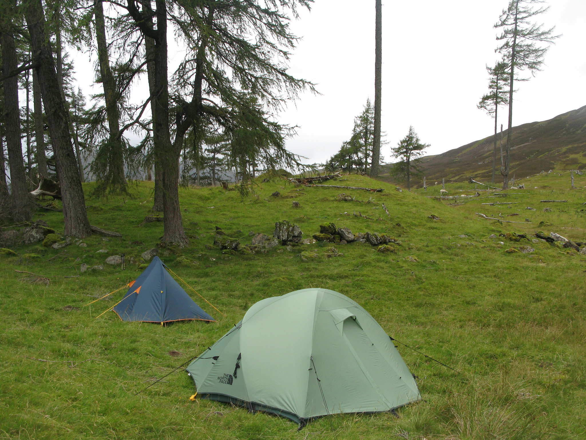 IMG_2114
 by
Tim Pearce, on Flickr
The trees around the ruined Lodge are beautiful, as is the river in its rocky ravine.
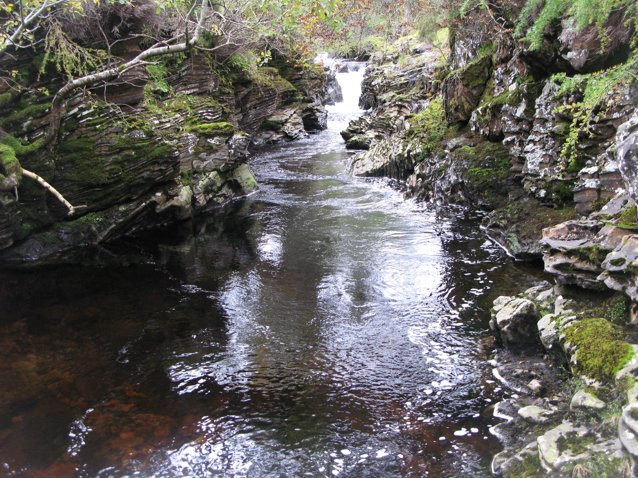 IMG_2096
 by
Tim Pearce, on Flickr
Cooking...
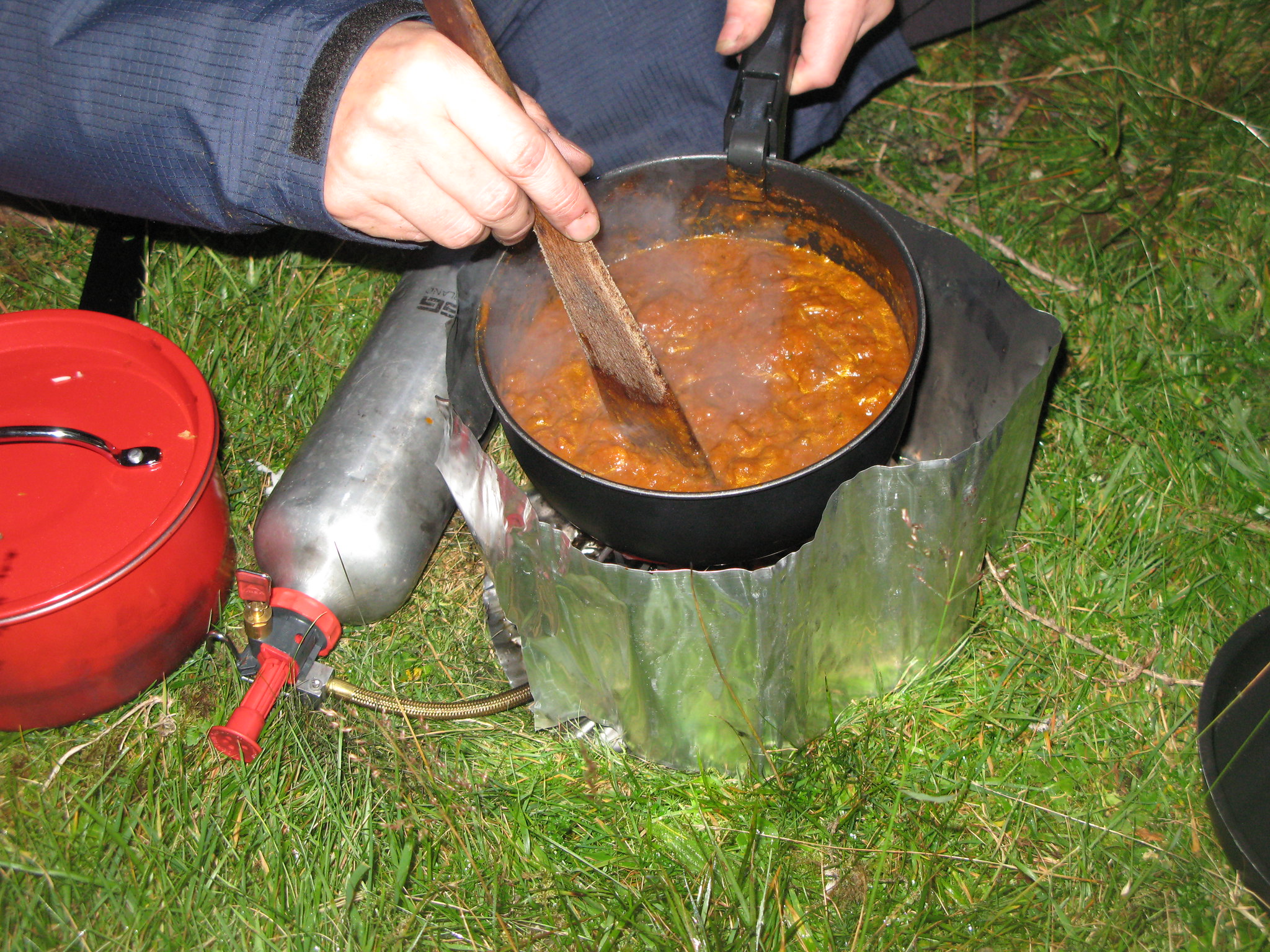 IMG_2007
 by
Tim Pearce, on Flickr
And waking early next morning after a good night's sleep.
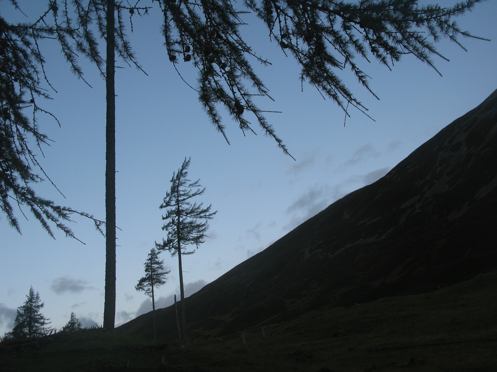 IMG_1773
 by
Tim Pearce, on Flickr
We walked up to the head of the valley and soon were in sight of Loch nan Eun, another magical spot although the weather looked a bit threatening at this point in the walk -
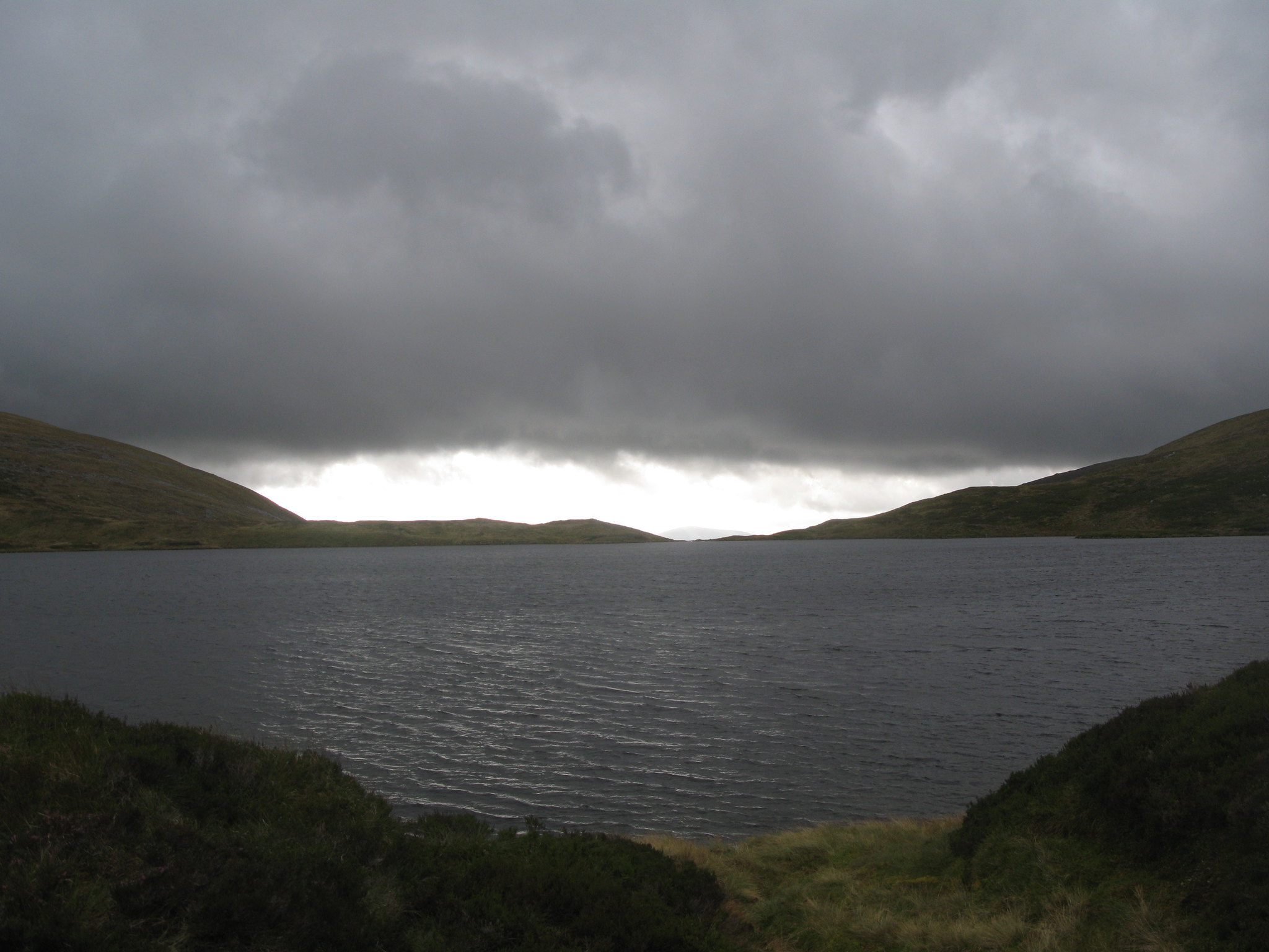 IMG_1807
 by
Tim Pearce, on Flickr
However, spots of sunlight started to break through as we walked up the easy grass ridge towards Glas Tulaichean - a view from the ridge down into Glean Taitneach
 IMG_1828
 by
Tim Pearce, on Flickr
Looking back to Loch nan Eun, it was nice to see it had turned blue
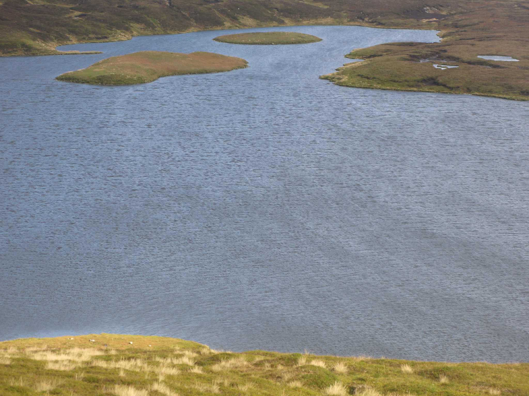 IMG_1832
 by
Tim Pearce, on Flickr
Last section of the ridge up to the summit. Glas Tulaichean is I think made of schistose unlike the surrounding quartzite hills. It certainly has a smoother more elegant outline, with long sweeping ridges, and is grassy rather than heathery - like a bigger version of the Brecon Beacons. The contrast with the surrounding hills is very marked.
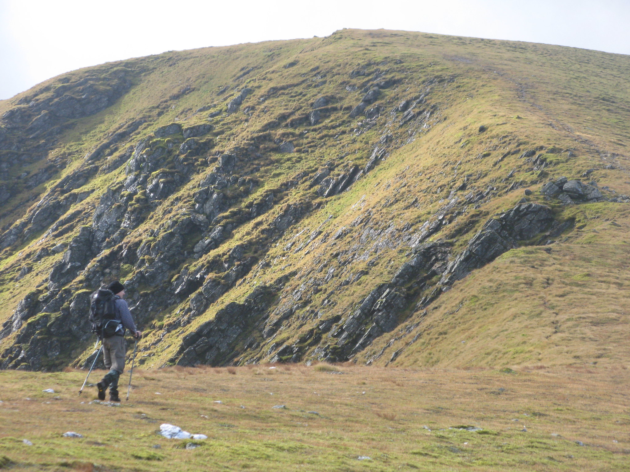 IMG_1844
 by
Tim Pearce, on Flickr
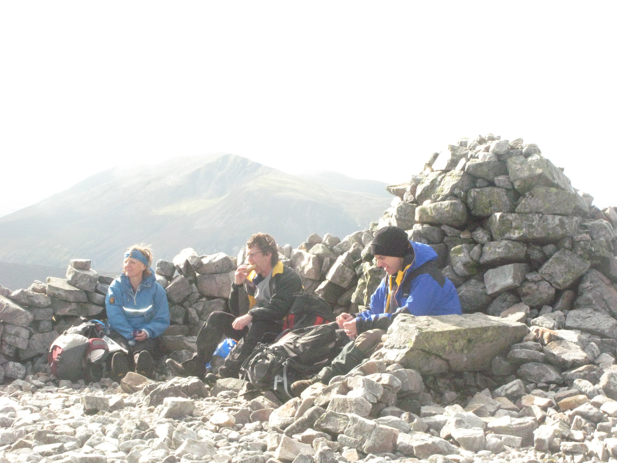
The summit is a great spot for a break and a look at the view. Note the two "pillow seats" made of concrete.
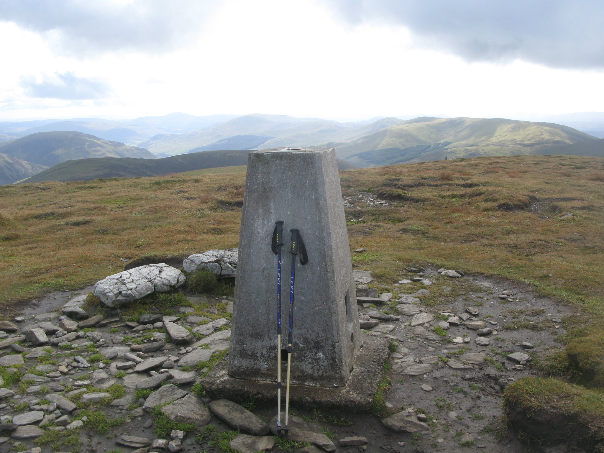 IMG_1868
 by
Tim Pearce, on Flickr
View over to the Lairig Ghru and the main Cairngorm peaks
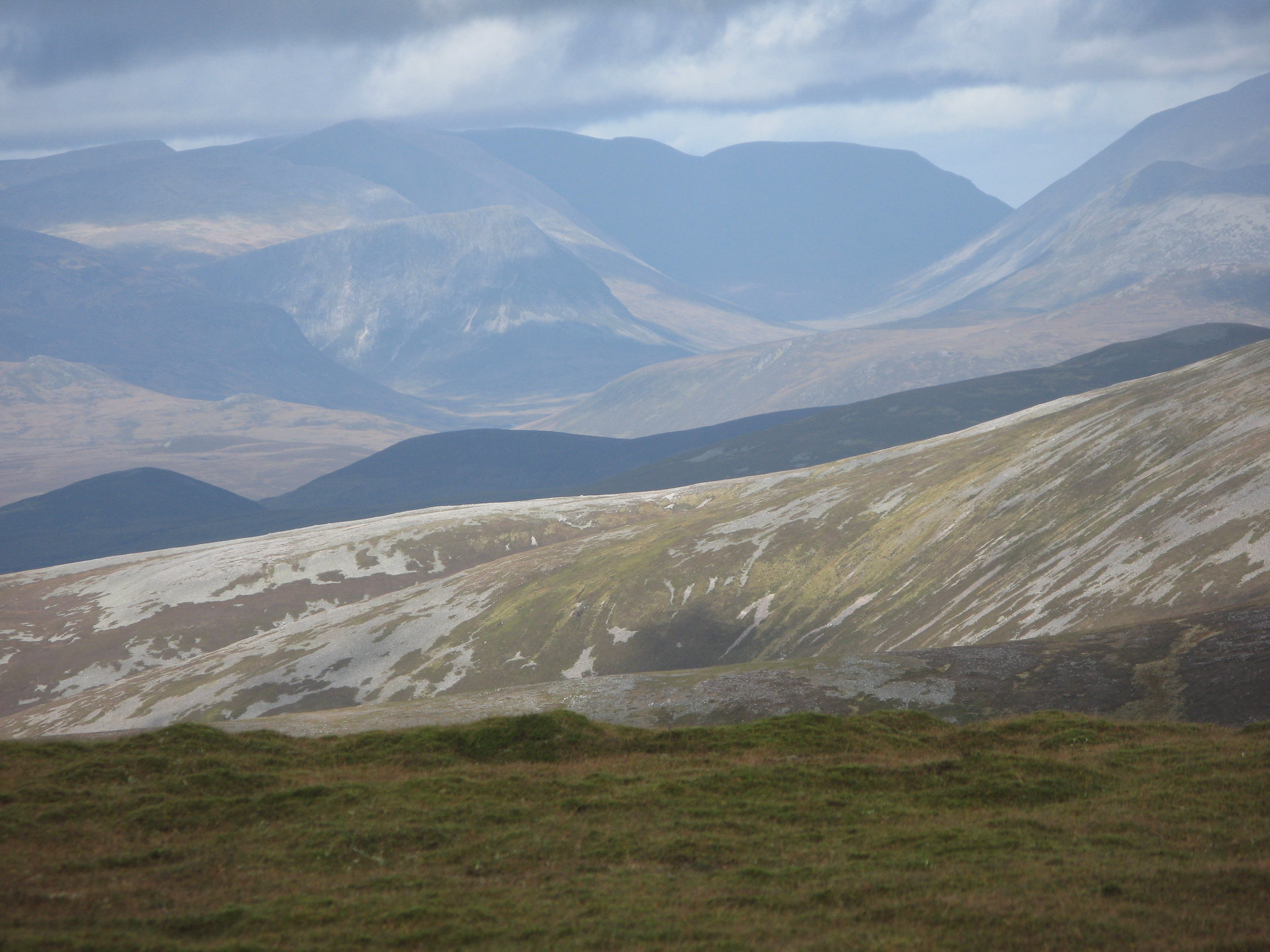 IMG_1856
 by
Tim Pearce, on Flickr
The view south -
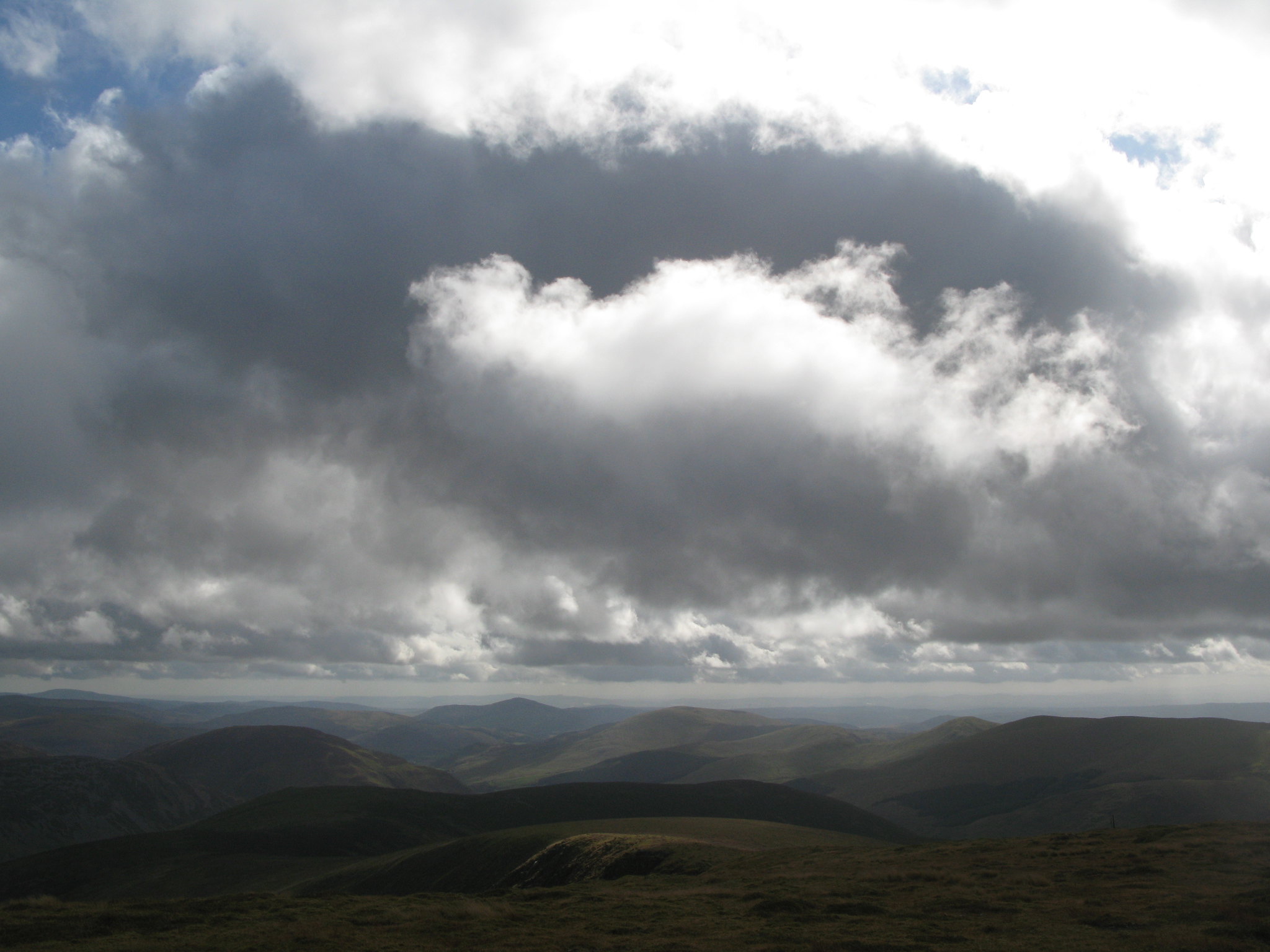 IMG_1857
 by
Tim Pearce, on Flickr
On the way back down, looking back to Loch nan Eun which kept looking more Caribbean every minute. (Well, not quite)
 IMG_1884
 by
Tim Pearce, on Flickr
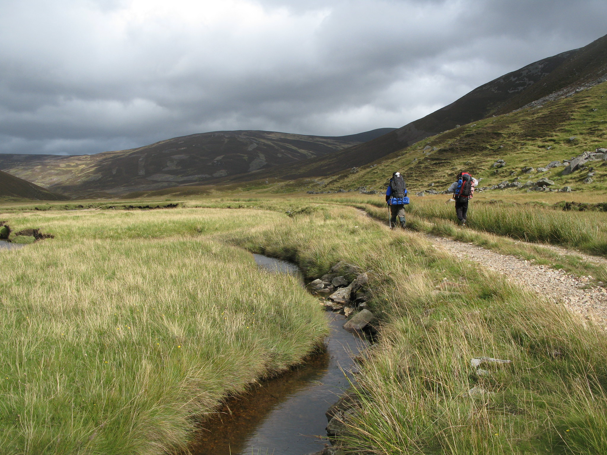
Down into the valley of the Allt a' Ghlinne Mhoir to pick up a stalker's path that would lead us towards Carn an Righ
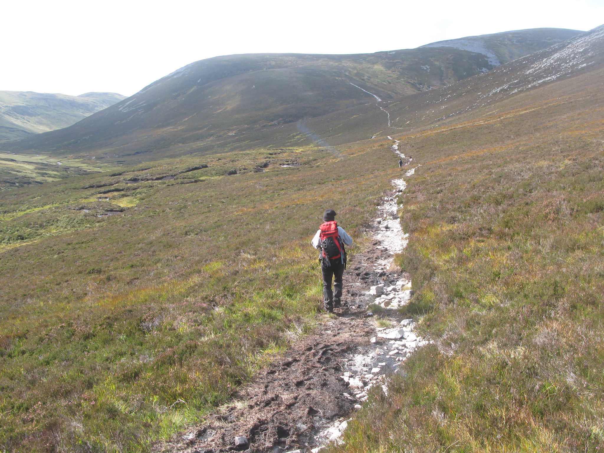 IMG_1898
 by
Tim Pearce, on Flickr
The wiggly meanders of the Allt itself
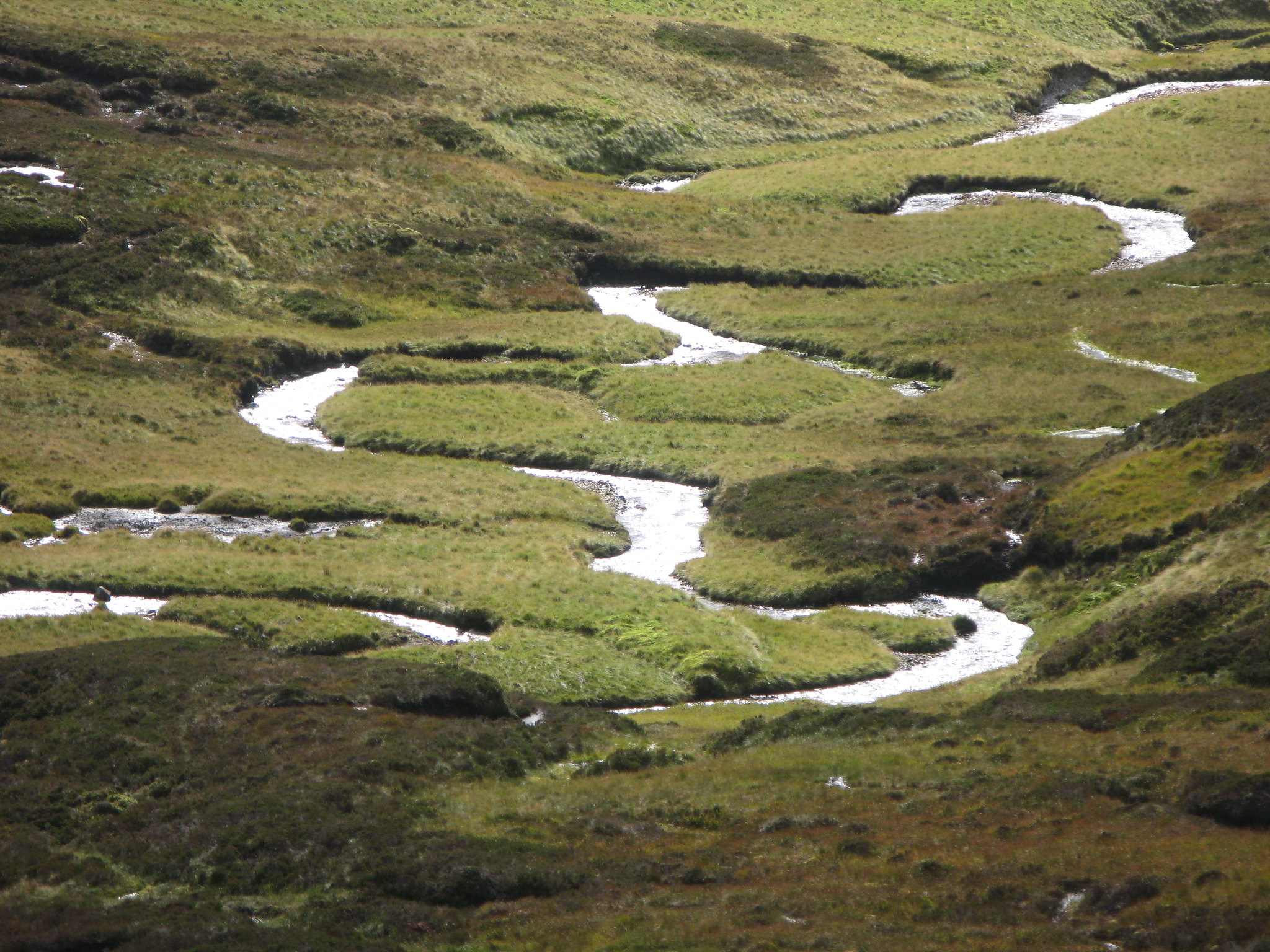 IMG_1900
 by
Tim Pearce, on Flickr
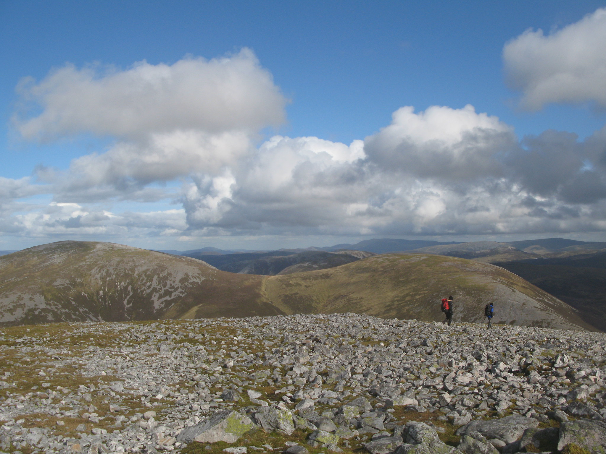
Carn an Righ is a dull, stony ascent, but its summit is a good spot for lunch
 IMG_1911
 by
Tim Pearce, on Flickr
View from Carn an Righ summit to Mam na Carn (right) and Beinn Iutharn Mhor, the next hill on our walk. Lochnagar in the distance.
 IMG_1920
 by
Tim Pearce, on Flickr
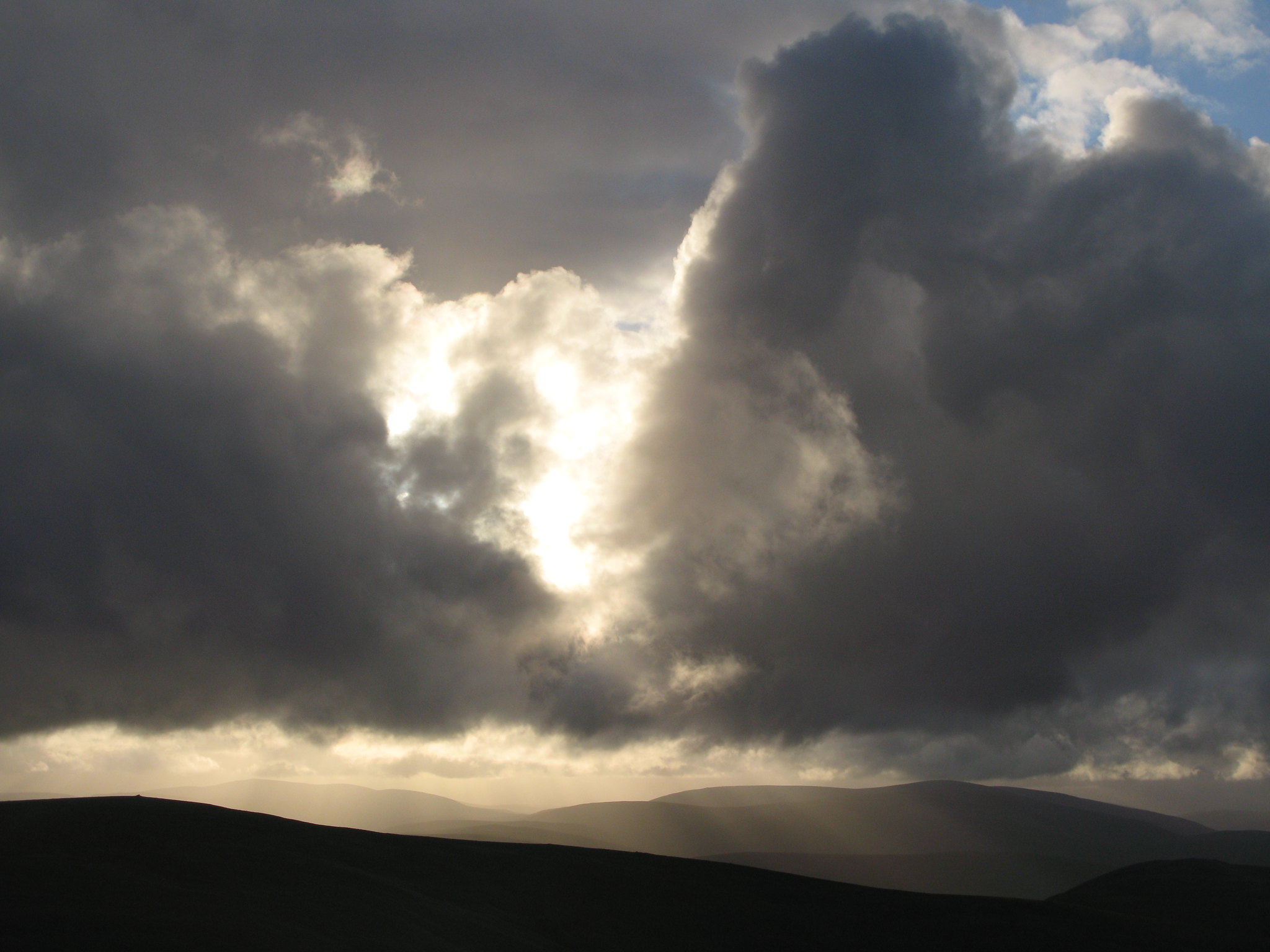
Rainbow on Beinn Iutharn Mhor
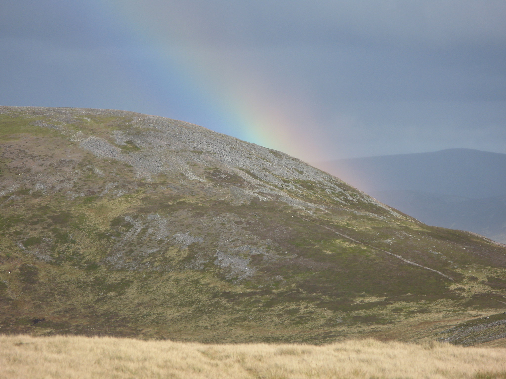 IMG_1936
 by
Tim Pearce, on Flickr
On the way up to Beinn Iutharn Mhor summit -a view of Cairn of Claise, with below it the sunlit ridge carrying the old Monega drove road, then below that is the Carn Aosda-Cairnwell ridge in shadow, and Loch Vrotachan.
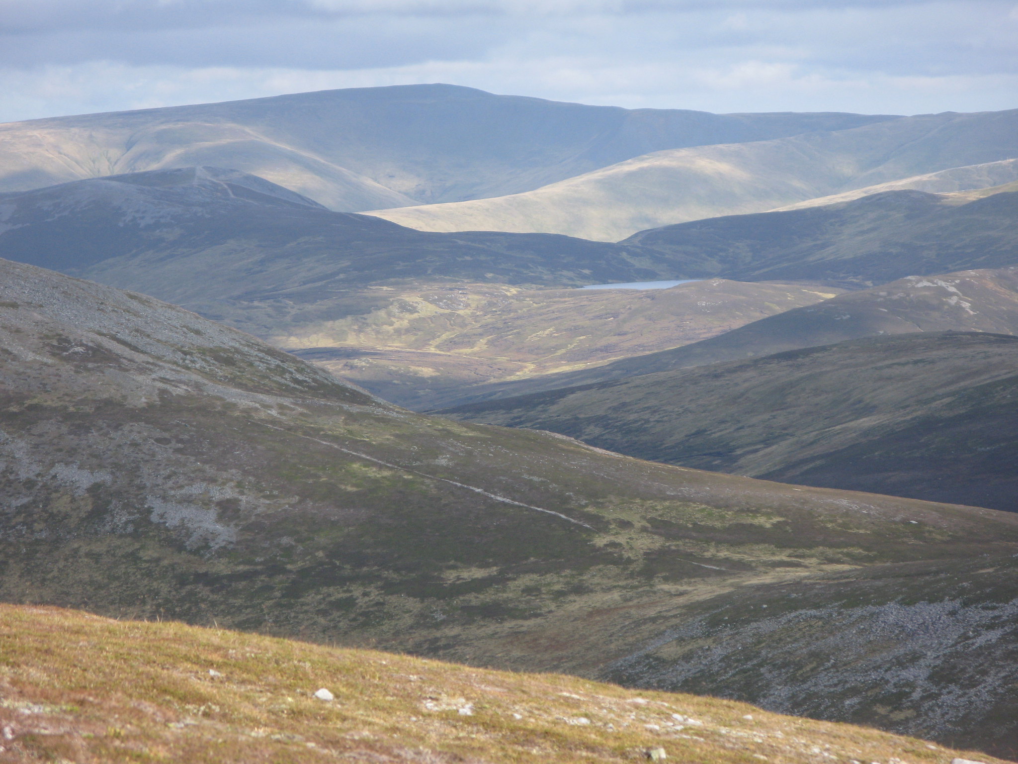 IMG_1953
 by
Tim Pearce, on Flickr
Looking from the summit of Beinn Iutharn Mhor along its ridge, with a skyline of I think faraway Morven immediately above my shadow, and Lochnagar on the right.
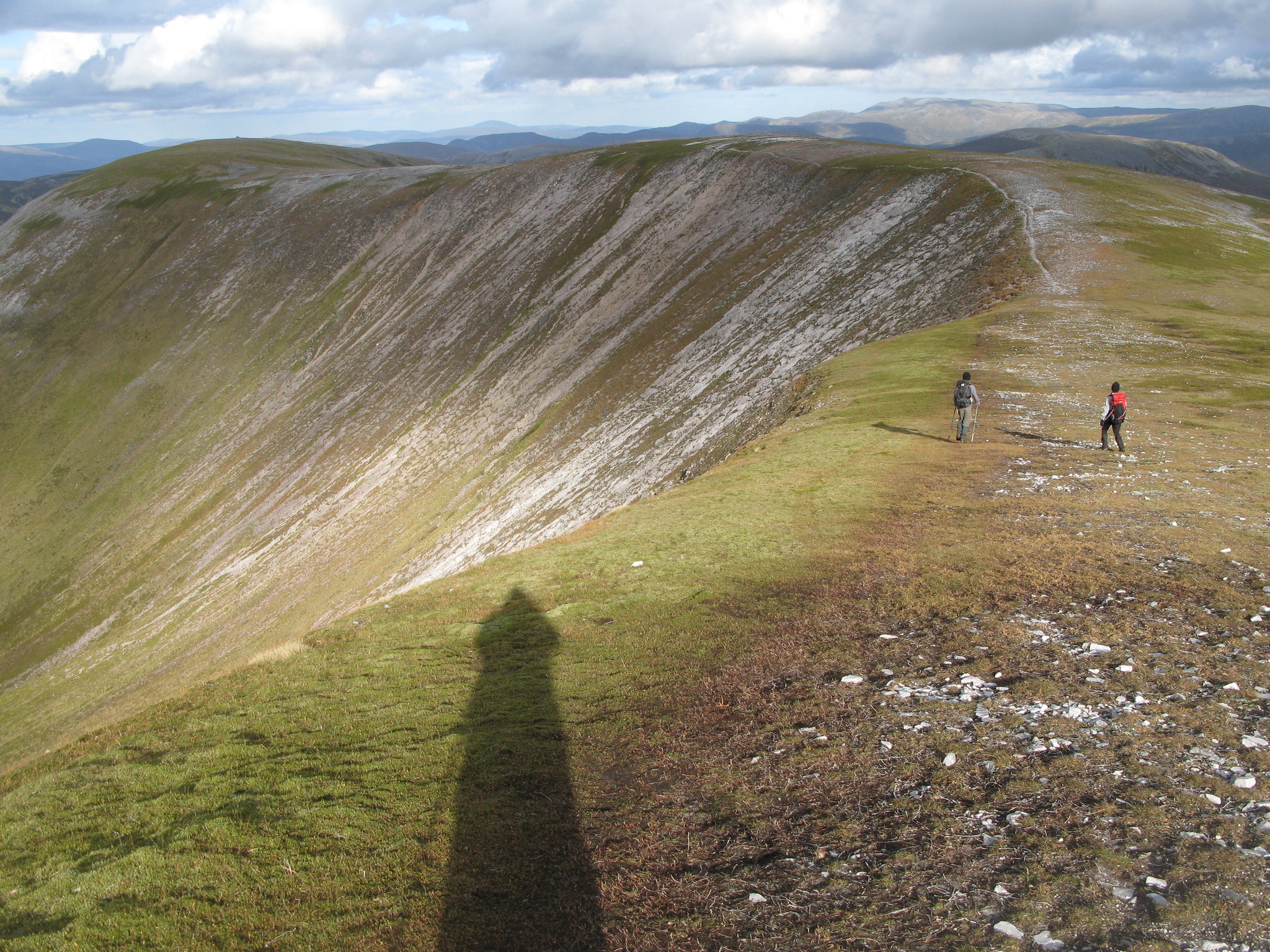 IMG_1974
 by
Tim Pearce, on Flickr
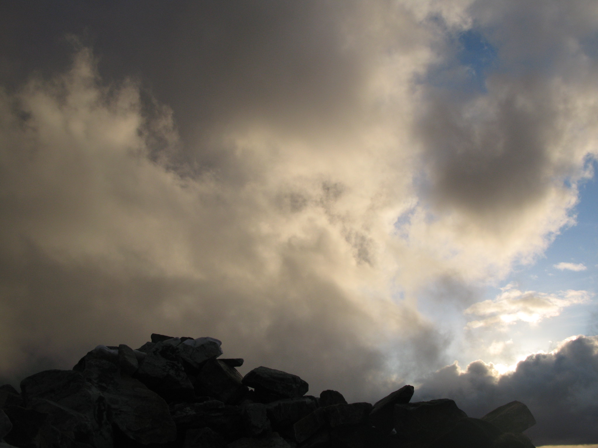
It's a long walk from Iutharn Mhor to Carn Bhac. But it's fascinating and challenging to be able to Bag a huge number of Peat Hags.
No, it's not really.
Never mind, the dramatic skies were good compensation.
 IMG_1996
 by
Tim Pearce, on Flickr
Summit of Carn Bhac
 IMG_2000
 by
Tim Pearce, on Flickr
It was good to get back to the camp. The next day the ohers walked up An Socach while I pottered around Altanour enjoying the peace of this remote spot. Then we had a very pleasant walk out. A great taste of some less fashionable hills with a quiet charm and beauty of their own.
 IMG_2135
 by
Tim Pearce, on Flickr
