Weasel and the 5 Elvanfoot Donalds
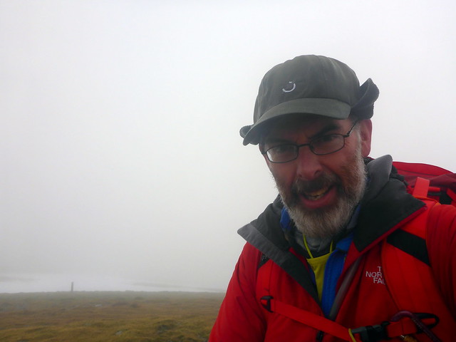
After last week's events on Ben Lui I was encouraged to reconsider my pledge not to do Donalds on my own whilst Allison is out of action with her back. Avalanche reports were still looking unfavourable as we headed towards the weekend and I have also been struggling with a chest infection/bad cough which has drained my energies somewhat. As a doctor I'm aware that exercising when ill might be counter productive - as a psychiatrist I'm aware of the deleterious effects to the spirit of not getting out on the hills, so soma was trumped by psyche - I was heading out  And I was going to do Donalds
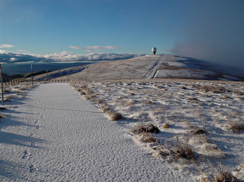
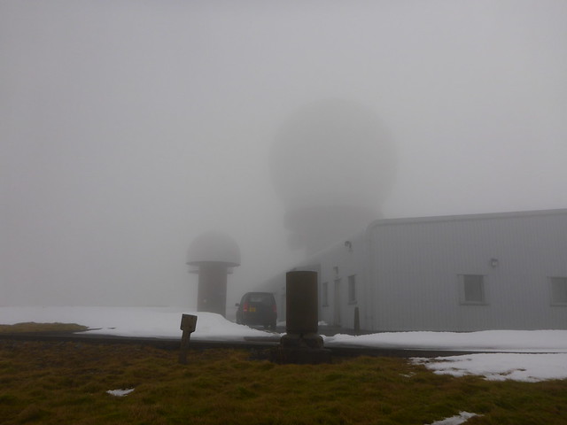
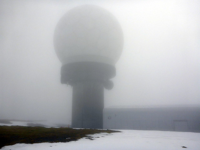
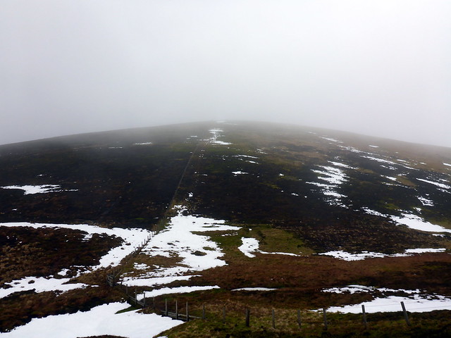
Some last minute deciding - I wanted a longish walk as I think I'll need to keep the short routes for Sick Kid when she's recuperating. Elvanfoot was easy to get to and looked a pleasant enough route, with 5 Donalds for the taking. There had been talk of there being some sunshine on Saturday, but that was clearly just a malicious rumour designed to whet appetites - it was smirring with rain when I left home just after 7 and dry but cloudy/claggy when I parked off the A702 just north of Overfingland. I was relieved to see that there was little snow left - not sure my legs would have coped with another weekend wade I set off along the road, past the cottage at Overfingland and then up onto the Southern Upland trail - faint track to begin with, clearer as I gained height up Laght Hill, with regular waymarkers. Treacherous going in places due to old rusted loops of fence wire lurking in the grasses. Drop 100m after summiting this small hill and up the fenceline to Comb Head then Cold Moss, some patches of snow hving escaped the melt. Another dip then onto the slopes of Lowther Hill. Clag is thick and I can make out nothing of the radar station at the top until I actually arrive there. A huge white dome looms out of the snow, accompaied by two smaller mushroom shaped creations. My book tells me the actual summit is not reachable, hidden under some of the constructions. Oh well.
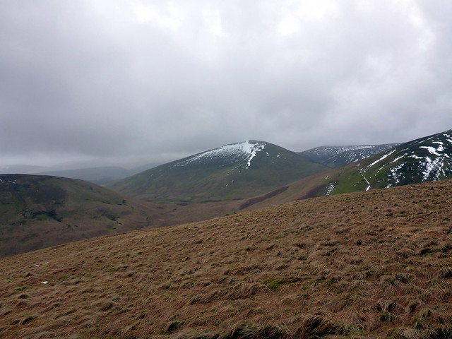
Near the start of the walk, up Laght Hill
 P1110894 by Al, on Flickr
Descending towards Comb Head
 P1110896 by Al, on Flickr
 P1110897 by Al, on Flickr
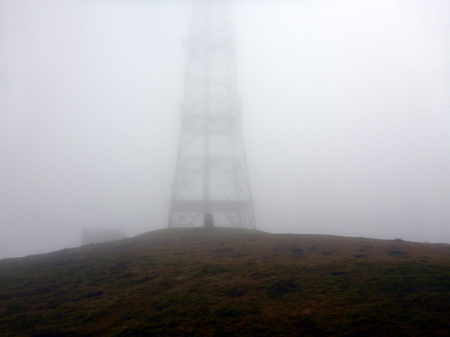
Radar Station on Lowther Hill
 P1110899 by Al, on Flickr
 P1110900 by Al, on Flickr
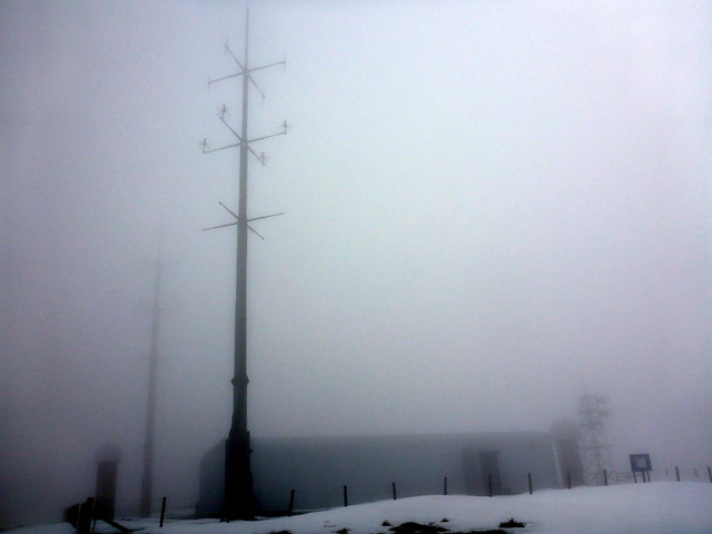
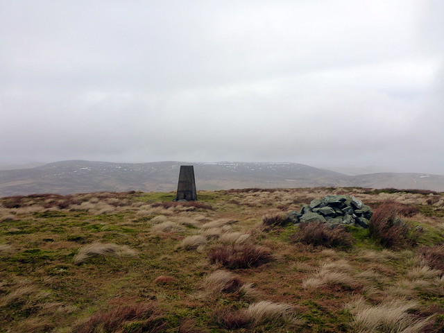
I cross back onto the SUW and see a sign for a path, which will take me to East Mount Lowther. I meet an Irishman bemoaning the absence of view from what should be an excellent vantage point. Again there's a drop of around 150m, but it is easy going. I follow 2 sets of bootprints that look fresh, and indeed meet their owners at the summit - we have a chat for a while about hill experiences then Iretrace my steps back to Lowther Hill. This time I follow the fence NE of the radar station, passing Green Trough where there's a Comms Station and I then follow a proper tarmac road, with white line in the middle up to Green Lowther, the highest point of today's outing, and a Graham to boot. I meet the Irishman descending as I move towards the summit - we comment on the existance of the road. I can see the trig point at the summit - completely dwarved by a pylon arising right behind it. It is cold by the Trig point and I move on, past buildings and concrete bunkers and onto grass again.
Summit East Mount Lowther
 P1110902 by Al, on Flickr
Descending from East Mt Lowther back to Lowther Hill
 P1110903 by Al, on Flickr
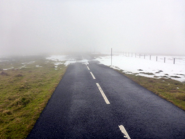
The Road
 P1110905 by Al, on Flickr
 P1110906 by Al, on Flickr
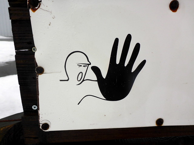
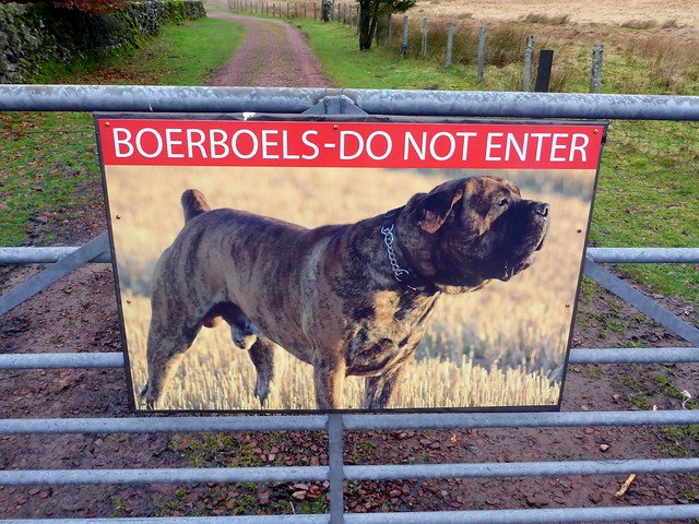
I think this means danger of Large Black Hands
 P1110907 by Al, on Flickr
Green Lowther summit
 P1110908 by Al, on Flickr
 P1110909 by Al, on Flickr
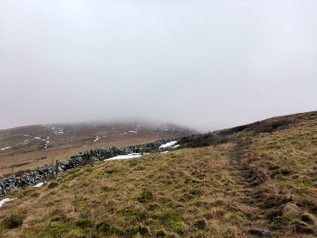
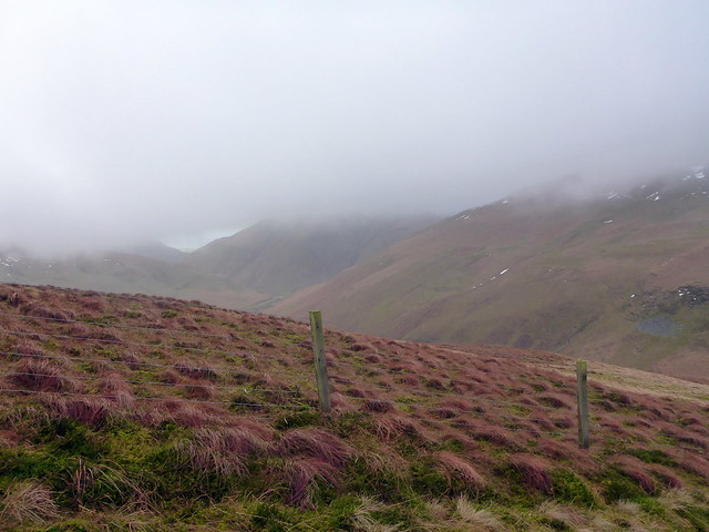
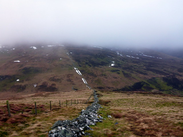
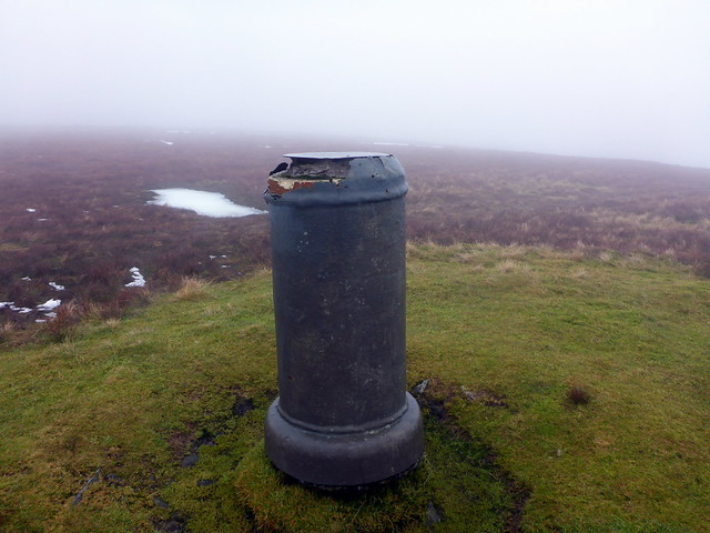
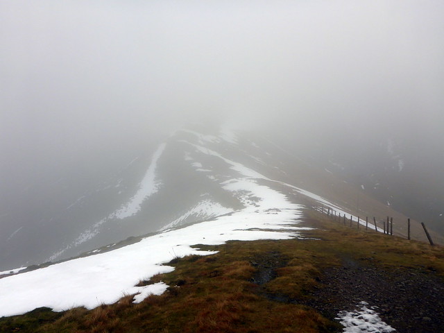
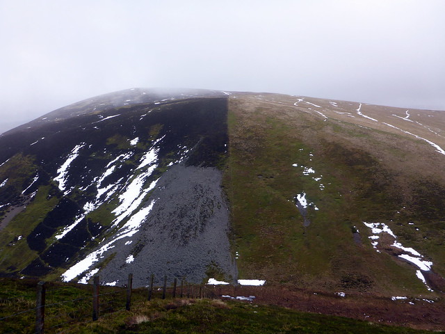
I follow the fence line down over Peden Head and Dungrain Law and pause at Big Windgate Hass to have some lunch. The day is going quite well, I feel I've made good progress despite my snuffles and cough and havent been involved in any near-death avalanche encounters yet From here it's another drop of 80m or so then up the broad back of Dun Law. The clag threatens to clear a little. White Law is passed without notice then there's a steep descent from it to Little Windgate Hass. Ahead of me is the final ascent for the day - the striking half-black Black Law which blends into Louise Wood Law. I don't know of many hills named after specific women, wonder who she was... There's a trig point at the top and I gaze over the quiet land to the north.
Up Dun Law from Big Windgate Hass
 P1110911 by Al, on Flickr
Black Law
 P1110916 by Al, on Flickr
Louise Wood Law
 P1110917 by Al, on Flickr
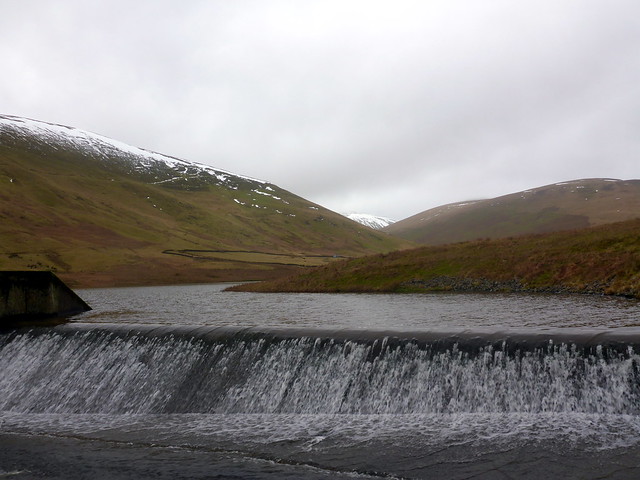
I turn around and start to head south, over the back of Great Hill. At the top are some small areas fenced off - these turn out to be protecting sheep from sheep- (and possibly also man-) eating bog areas Down the steepish grassy south slopes of this last hill and onto flattish terrain that leads round behind the wonderfully named Doddin - I'm almost tempted to summit its 476m top cos I like the name. However, I don't, I simply follow an intermittent ATV track round the hill then past some sheepfolds. No wind here - sheltered and peaceful. I walk to the north of a small reservoir and down to Peden Cottage then onto the road for 3km or so back to the car.
Walk out, Doddin Hill to the left
 P1110918 by Al, on Flickr
 P1110919 by Al, on Flickr
Scary!
 P1110920 by Al, on Flickr
 P1110921 by Al, on Flickr
Not a bad day out - alright for an invalid I manage to get up the road by 4pm and call Allison to see if she wants to go out for a small walk along the front. She's hopeful of being able to do something low key by next weekend, so it's important to gauge her level of functioning at the moment. We manage a mile and a little - better than the same time last week 
Some last minute deciding - I wanted a longish walk as I think I'll need to keep the short routes for Sick Kid when she's recuperating. Elvanfoot was easy to get to and looked a pleasant enough route, with 5 Donalds for the taking. There had been talk of there being some sunshine on Saturday, but that was clearly just a malicious rumour designed to whet appetites - it was smirring with rain when I left home just after 7 and dry but cloudy/claggy when I parked off the A702 just north of Overfingland. I was relieved to see that there was little snow left - not sure my legs would have coped with another weekend wade
Near the start of the walk, up Laght Hill
P1110894 by Al, on FlickrDescending towards Comb Head
P1110896 by Al, on FlickrP1110897 by Al, on FlickrRadar Station on Lowther Hill
P1110899 by Al, on FlickrP1110900 by Al, on FlickrI cross back onto the SUW and see a sign for a path, which will take me to East Mount Lowther. I meet an Irishman bemoaning the absence of view from what should be an excellent vantage point. Again there's a drop of around 150m, but it is easy going. I follow 2 sets of bootprints that look fresh, and indeed meet their owners at the summit - we have a chat for a while about hill experiences then Iretrace my steps back to Lowther Hill. This time I follow the fence NE of the radar station, passing Green Trough where there's a Comms Station and I then follow a proper tarmac road, with white line in the middle up to Green Lowther, the highest point of today's outing, and a Graham to boot. I meet the Irishman descending as I move towards the summit - we comment on the existance of the road. I can see the trig point at the summit - completely dwarved by a pylon arising right behind it. It is cold by the Trig point and I move on, past buildings and concrete bunkers and onto grass again.
Summit East Mount Lowther
P1110902 by Al, on FlickrDescending from East Mt Lowther back to Lowther Hill
P1110903 by Al, on FlickrThe Road
P1110905 by Al, on FlickrP1110906 by Al, on FlickrI think this means danger of Large Black Hands
P1110907 by Al, on FlickrGreen Lowther summit
P1110908 by Al, on FlickrP1110909 by Al, on FlickrI follow the fence line down over Peden Head and Dungrain Law and pause at Big Windgate Hass to have some lunch. The day is going quite well, I feel I've made good progress despite my snuffles and cough and havent been involved in any near-death avalanche encounters yet
Up Dun Law from Big Windgate Hass
P1110911 by Al, on FlickrBlack Law
P1110916 by Al, on FlickrLouise Wood Law
P1110917 by Al, on FlickrI turn around and start to head south, over the back of Great Hill. At the top are some small areas fenced off - these turn out to be protecting sheep from sheep- (and possibly also man-) eating bog areas
Walk out, Doddin Hill to the left
P1110918 by Al, on FlickrP1110919 by Al, on FlickrScary!
P1110920 by Al, on FlickrP1110921 by Al, on FlickrNot a bad day out - alright for an invalid