free to be able to rate and comment on reports (as well as access 1:25000 mapping).
Moorbrock Hill has been on my radar for a while now, along with the Donald Top of Keogh Rig; being the remaining Donald and Donald Top I had left in the Carsphairn Forest group of hills. My initial attempt a fortnight ago had ended in disaster when I acquired a puncture on the B729


just a few hundred yards from the turning down the unclassified road I needed to head down in order to do the walk from its traditional starting point of Craigengillan. On that occasion I had had it in mind to do a late afternoon/early evening walk in the clag, snow and wind. Given that cars these days don’t come with spares as standard I had had to call out the RAC (other emergency recovery organisations do exist) to get me and my car back home, thus ending any plans for that weekend.
Two weeks later and I was ready to return and put these two hills to bed. I didn’t fancy a return to the B729 though (more on that later) as I was still smarting over the cost of a new tyre a fortnight previously. So I hatched a route from the Green Well of Scotland, just north of the village of Carsphairn. My route would give me a repeat of the Corbett Cairnsmore of Carsphairn, from where I would descend off its north ridge down to the bothy of Clennoch. From there I would make my way to Keogh Rig via Hog Hill and then traverse the ridge over Alwhat and on to Moorbrock Hill. I’d then descend that Donald and drop down through a firebreak in the forestry and leave myself a steep climb up on to the Donald Top of Beninner, from where I would traverse around Cairnsmore and pick up the standard descent off the Corbett over Black Shoulder and Willieanna back to the car.
14.1 miles according to the walkhighlands GPS planner. Simples

Except………..this was to be only my third walk since the beginning of December last year. I lose fitness pretty quick and perhaps such a long walk in winter, with a fair amount of descent and re-ascent might have been a bit optimistic. As my dear old mother would have said “Eyes bigger than your belly”

So how did I get on then?
 P1240874
 by
Pete Riedel, on Flickr
Let the walking begin P1240875
 by
Pete Riedel, on Flickr
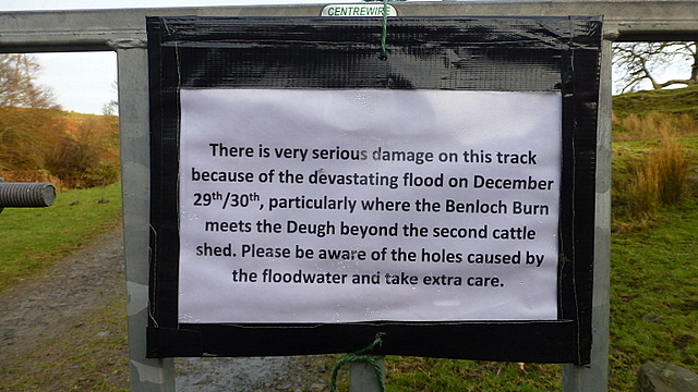
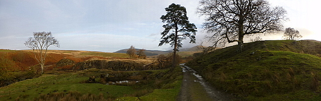
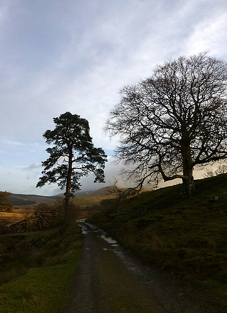
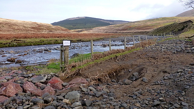
The start of the routeI was perhaps an hour later starting than I’d have liked, parking up in the muddy parking area around 9.00 a.m. After a bit of faffing about I was on my way by about 9.15 a.m. The first couple of miles to Cairnsmore is on a good vehicle track, although there were signs at the outset warning of water damage following the storms of recent weeks. They weren’t wrong. Where the Benloch Burn meets the Water of Deugh there were a few big holes, but the track is still easily passable.
 P1240876
 by
Pete Riedel, on Flickr
Hole alert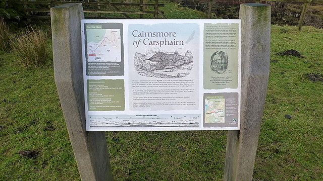 P1240877
 by
Pete Riedel, on Flickr
I do enjoy a good information panel, to give some context to the area I'm walking in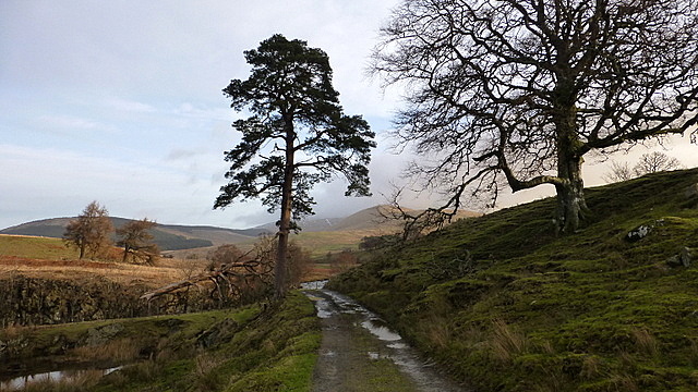 P1240878
 by
Pete Riedel, on Flickr
 P1240879
 by
Pete Riedel, on Flickr
 P1240880
 by
Pete Riedel, on Flickr
Some nice shots of the route aheadWhat you don’t get warned about is the area of cows’ toilet you have to wade through soon after……….a stinking sludge of festering @$@!
And there were only two cows there when I waded through the poo. Boy, had they been busy……..
 P1240881
 by
Pete Riedel, on Flickr
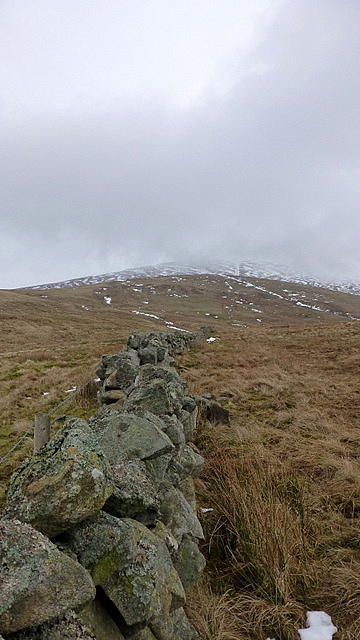
A look back at the cows' toiletAnyway, moving on……the track then winds its way nicely up to its termination at a dry stone wall. The views back the Rhinns of Kells were sadly a bit misty, but there were views. From the wall it is then just a case of following it all the way to the Corbett summit. It got a bit steeper near the summit plattox, with a bit of the remaining soft snow to navigate, along with some slippery rocks, but never anything difficult.
 P1240883
 by
Pete Riedel, on Flickr
One of the deep holes walkers are being warned of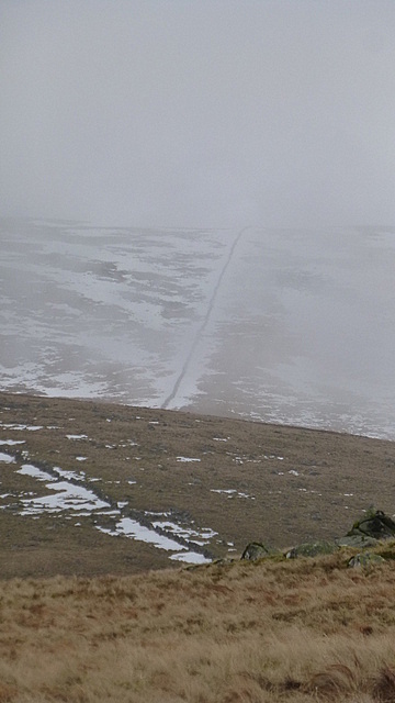 P1240892
 by
Pete Riedel, on Flickr
 P1240893
 by
Pete Riedel, on Flickr
A couple of shots of the wall route to the summit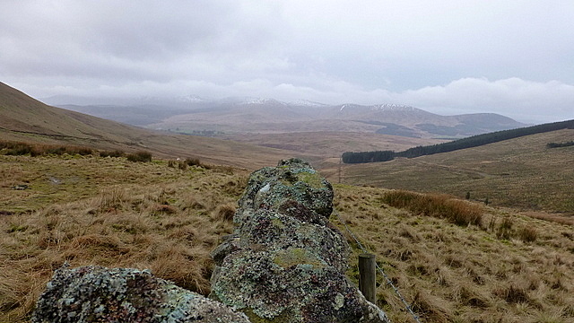 P1240895
 by
Pete Riedel, on Flickr
From the wall looking back to the Rhinns of Kells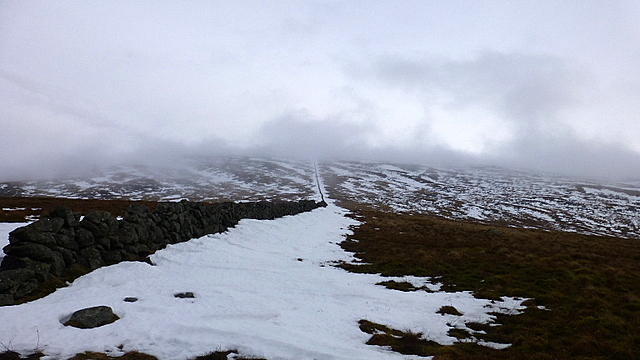 P1240900
 by
Pete Riedel, on Flickr
Faint hope of a cloud free summitI was aware that Martin, the Fife Flyer had planned to do Cairnsmore at the same time and on the climb up by the wall had had spied him and Karen catching me up at speed. This has spurred me to push on to the plattox and reach the summit before they could overtake me……childish I know. Just shy of the summit I did actually stop to wait for them……they took ages

……..I can only assume they were struggling on the final climb
 P1240910
 by
Pete Riedel, on Flickr
Hitting the summit plattox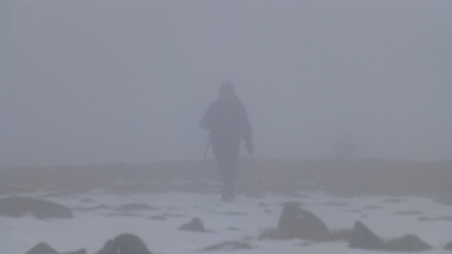 P1240914
 by
Pete Riedel, on Flickr
What's that coming out of the mist? Is it a Martin? Is it a Martin?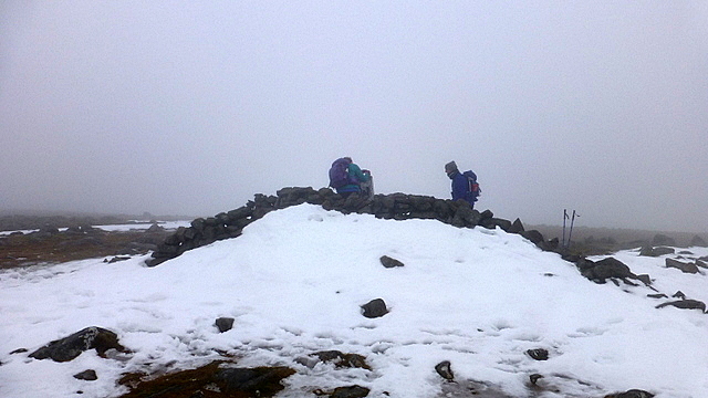 P1240917
 by
Pete Riedel, on Flickr
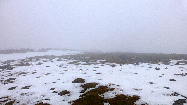
Summit trigAfter stopping for a brief chat I was then on my way to continue my circuit. The drop down off Cairnsmore is gentle. A mixed bag though in terms of spongy grass, patches of wet snow and larger areas of more consolidated snow. The 1:25 OS map doesn’t show the track that is suggested on the 1:50 map. Higher up I couldn’t really tell if the path was there or not, but I appear to have plotted it to perfection, as lower down it became clear and I was right on it.
 P1240922
 by
Pete Riedel, on Flickr
Not too many views initially as I set off toward my next destination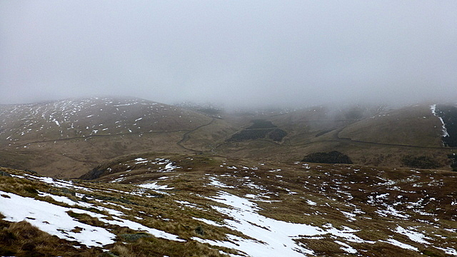 P1240924
 by
Pete Riedel, on Flickr
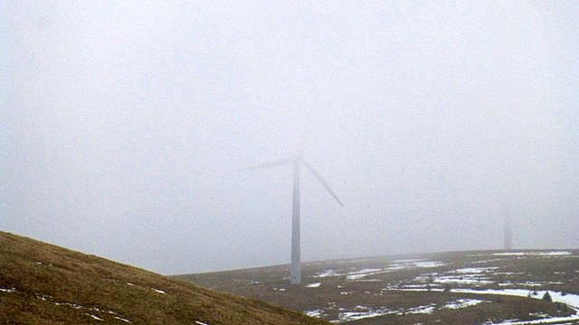
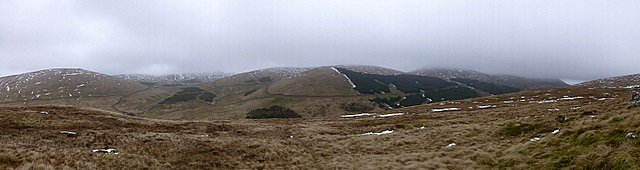
Eventually the mist began to lift, to reveal the hills aroundAs I descended I became aware of what I can best describe as a roaring noise. At first I was thinking it must be some burn or river tumbling over rocks. Then, to my disappointment the clag lifted slightly and the source of the noise became all too apparent. The curse of the 20th Century forest on Windy Standard polluting the atmosphere
 P1240929
 by
Pete Riedel, on Flickr
 P1240930
 by
Pete Riedel, on Flickr
Panoramic shot across toward Windy Standard (centre-ish)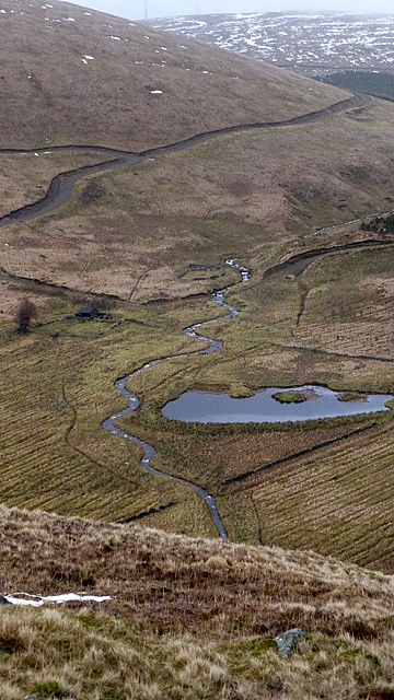 P1240934
 by
Pete Riedel, on Flickr
Aerial view down to the bothyThe route dropped me down to the right of Craighorn where I had an easy climb over a loose fence and then had to find a suitable spot to jump the Bow Burn. The Burn is one of those narrow, but deep and fast flowing affairs. Fall in and you WILL get wet. I manged to jump it with all the grace and poise of someone without grace and poise. But I remained dry, which was the main thing.
The short walk on to the landrover track was over a mixture of spongy, boggy and hummocky ground, which I would discover after my visit to the Clennoch Bothy would become the standard terrain from here on in.
 P1240942
 by
Pete Riedel, on Flickr
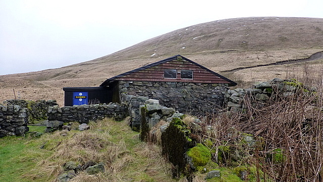
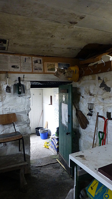
The bothy itself was a great little place

Just a small, single room. No fireplace, so one to bring your thermals to if you ever visit for an overnight stay. Stopped there for a quick coffee and bite to eat before heading back up the track to tick off the Donald Top of Keoch Rig.
 P1240948
 by
Pete Riedel, on Flickr
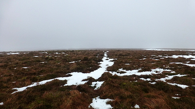
It’s a fairly short climb to the Donald Top, but with the ground being a mixture of spongy stuff and soft snow I was finding it slower going than I really should have. My weeks of the hills was starting to show. As I arrived at what I assume to be an unmarked summit (I wandered around in the mist to were my GPS suggested the summit to be, but found just grass) I was starting to consider my options for getting back to the car.
 P1240955
 by
Pete Riedel, on Flickr
Keoch Rig summit!!Time was pressing on and I was thinking any descent off Beninner would be in the dark. As I picked up the boggy landrover track that was to take me over Alwhat and then up on to the long summit plattox of Moorbrock Hill the wind was starting to pick up and there was the beginnings of a wetness in the air.
 P1240958
 by
Pete Riedel, on Flickr
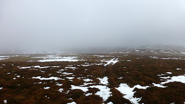
My initial view toward Moorbrock Hill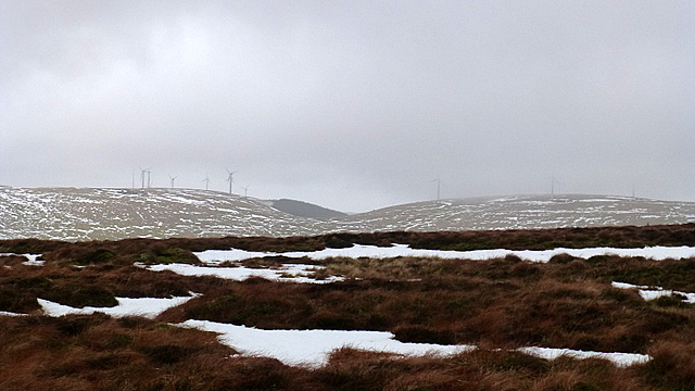 P1240960
 by
Pete Riedel, on Flickr
Noise and view pollution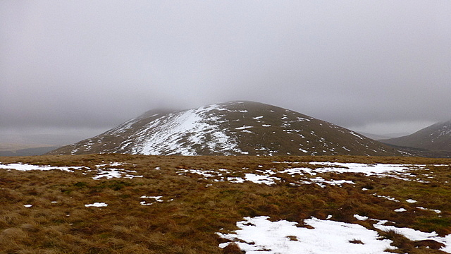 P1240962
 by
Pete Riedel, on Flickr
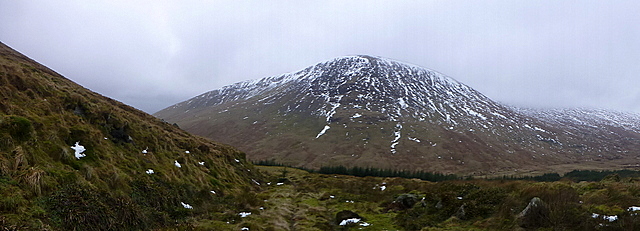
A more promising view of MoorbrockChecking the GPS and the climb up Beninner looked steep. Perhaps too steep for my legs today, especially if the wind was picking up as forecast and the weather was on the turn (not that it had been stellar to this point in any case). Worse, there would be a section of no doubt boggy, spongy ground to cover before the climbing even started.
 P1240967
 by
Pete Riedel, on Flickr
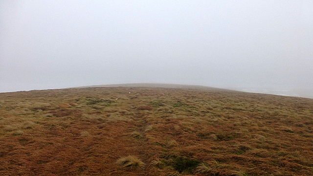
Moorbrock's somewhat featureless plattox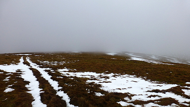 P1240973
 by
Pete Riedel, on Flickr
And againI wasn’t keen, especially as the mist lifted off the top of Beninner as I made my way off the initially snow packed track on Moorbrock, suggesting just how steep the climb would be for one so lacking in hill fitness
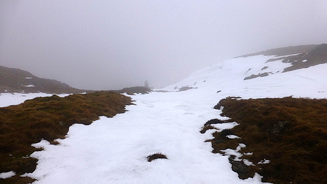 P1240974
 by
Pete Riedel, on Flickr
Dropping off the landrover track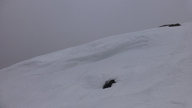 P1240978
 by
Pete Riedel, on Flickr
A snow featureThe alternative though was in truth no less appealing, if ultimately safer in the long run. Take the standard route around Green Hill and head past the estate buildings and pick up the track to Craigengillan. Then enjoy the looooong walk back along the road to the start of the days walking. A subsequent plotting of this alternative return route on the walkhighlands GPS planner suggests that from the Moorbrock Estate entrance (a little further up the road from Craigengillan) I was looking at an 8.64 mile road walk (longer than many a hill walk) back to my car. That excluded the walk along the landrover track back to the road from the estate buildings themselves
 P1240981
 by
Pete Riedel, on Flickr
BeninnerAt the time though I really didn’t fancy the climb up Beninner or any slogging over the spongy open ground to do the climbing in the first place. I know I’d be painfully slow and unfocussed if I chose that course of action, so my mind was made up and loins girded for the long and winding road(s) back to my car via the road route. But not before taking a wrong turn on the estate tracks and adding a further 1.5 miles to my day

………………and why not?
 P1240983
 by
Pete Riedel, on Flickr
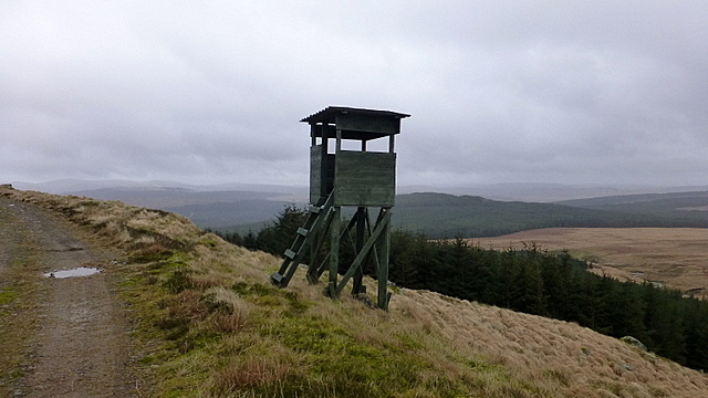
Look out post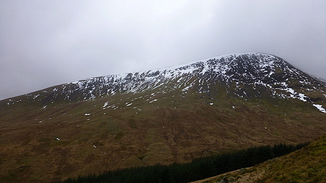 P1240986
 by
Pete Riedel, on Flickr
Beninner again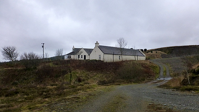 P1240993
 by
Pete Riedel, on Flickr
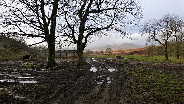
Estate buildings P1240997
 by
Pete Riedel, on Flickr
On the track to the road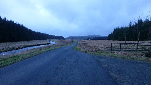 P1250001
 by
Pete Riedel, on Flickr
The tarmac road.....at last. No more photos after this. It got darkOnce on the road it was just a case of putting my head down and going for it. I’d be lying if I said it was enjoyable. It wasn’t. Mentally and physically it was hard, but I had walked myself into this mess so just had to walk myself back out of it. As the darkness descended the rain set in……oh the joys. Just short of Carsphairn a chap stopped and offered a lift, but I was pretty much back by then, so thanked him for his kind offer but refused all the same. The walk from the village was nothing short of torture. So near, yet so far. The yards came down on the GPS reader, but by now the legs were cramping and my right shoulder was sore. Then there was the chaffing on my lower back where the rucksack had been rubbing. But when it came into view my old jalopy sure was a welcome sight
So, in the end that would be 22.5 miles for what was in effect a single blue balloon. Possibly the hardest fought Donald I’ll ever experience
And that, dear reader, is how you make a Mountain out of a Moorbrock Hill.
