
Clyde Walkway 4 - Mauldslie Bridge to Kirkfieldbank
For the penultimate leg of the Clyde Walkway I took the car and parked up in Kirkfieldbank, near Lanark, caught the bus back to Rosebank and walked down to Mauldslie Bridge to pick up where I'd left off on the previous leg. The forecast was for sunshine, but it would turn out to be a sun & showers kind of day...and bloody freezing.
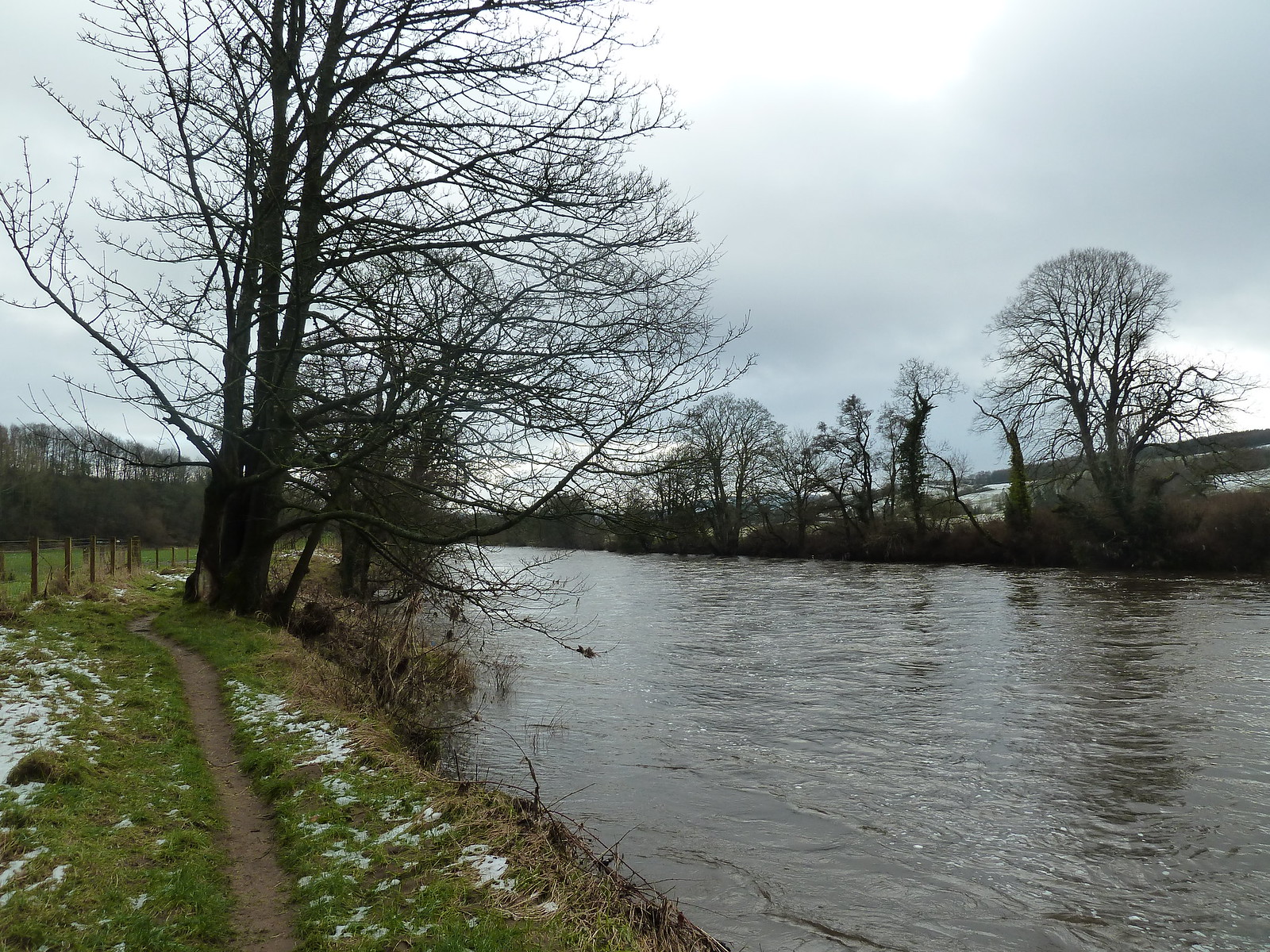
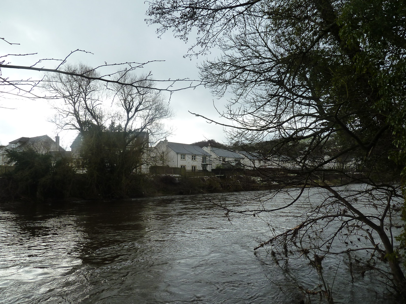
Once past Mauldslie Bridge the path continues to hug the river. This side of the river is quite rural, with most of the signs of civilization visible on the far bank.
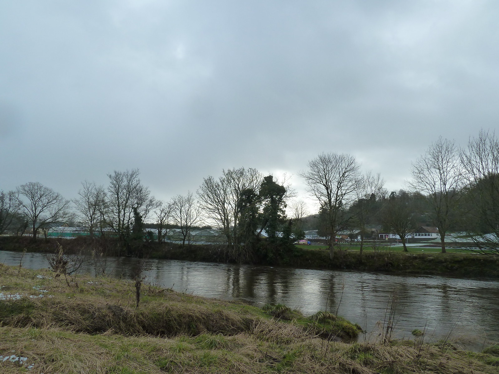
Passing Rosebank
For most of this section of the Walkway there are plentiful signposts and information points...unfortunately the latter no longer contain any information, which is a shame.
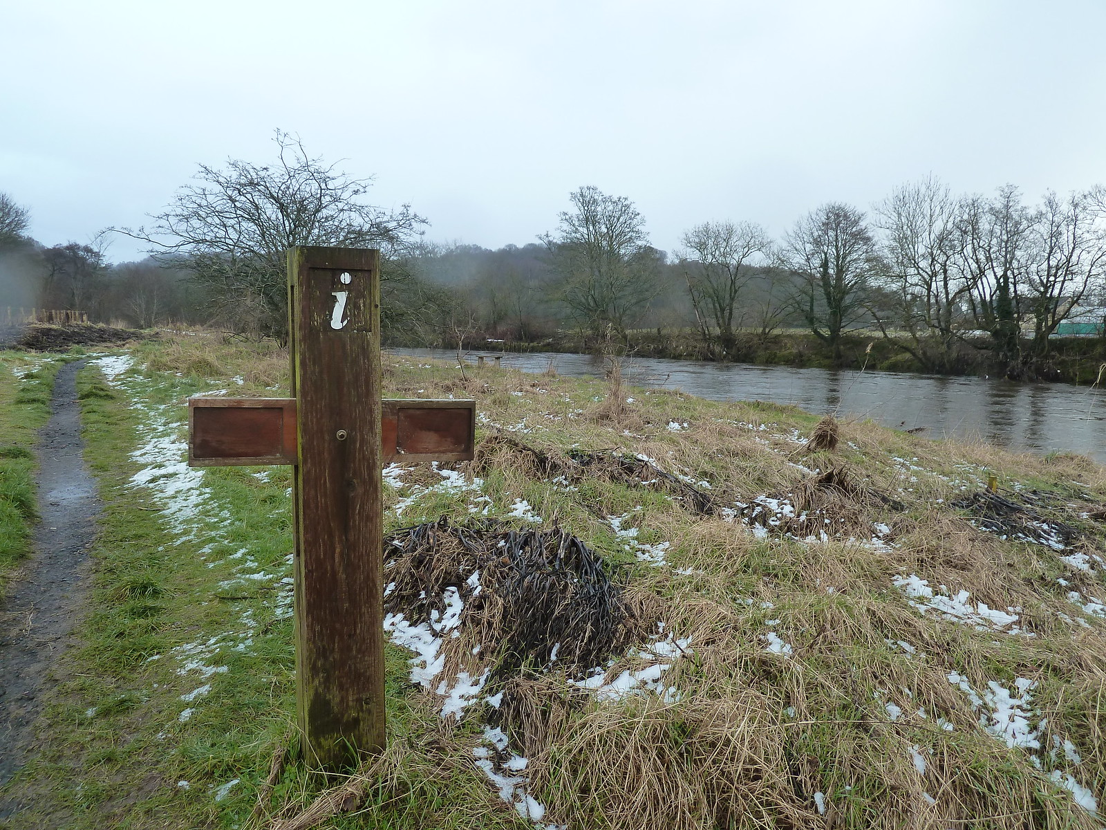
Lack of Information Point
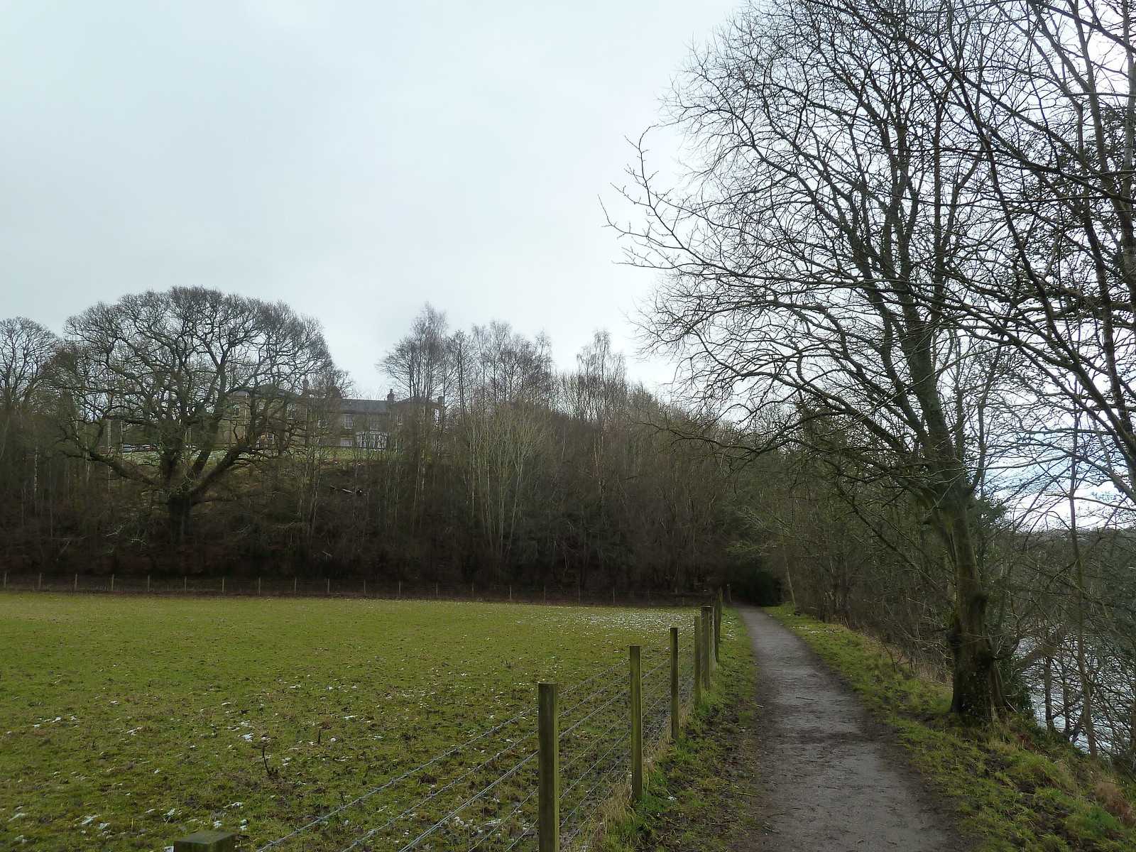
Not too far from Mauldslie Bridge the path enters some woodland and proceeds to climb away from the river in order to bypass Milton Lockhart Farm. The going gets quite rough and steep in places, but the path is clearly marked and well maintained, with steps and boardwalks to take you over the trickier terrain.
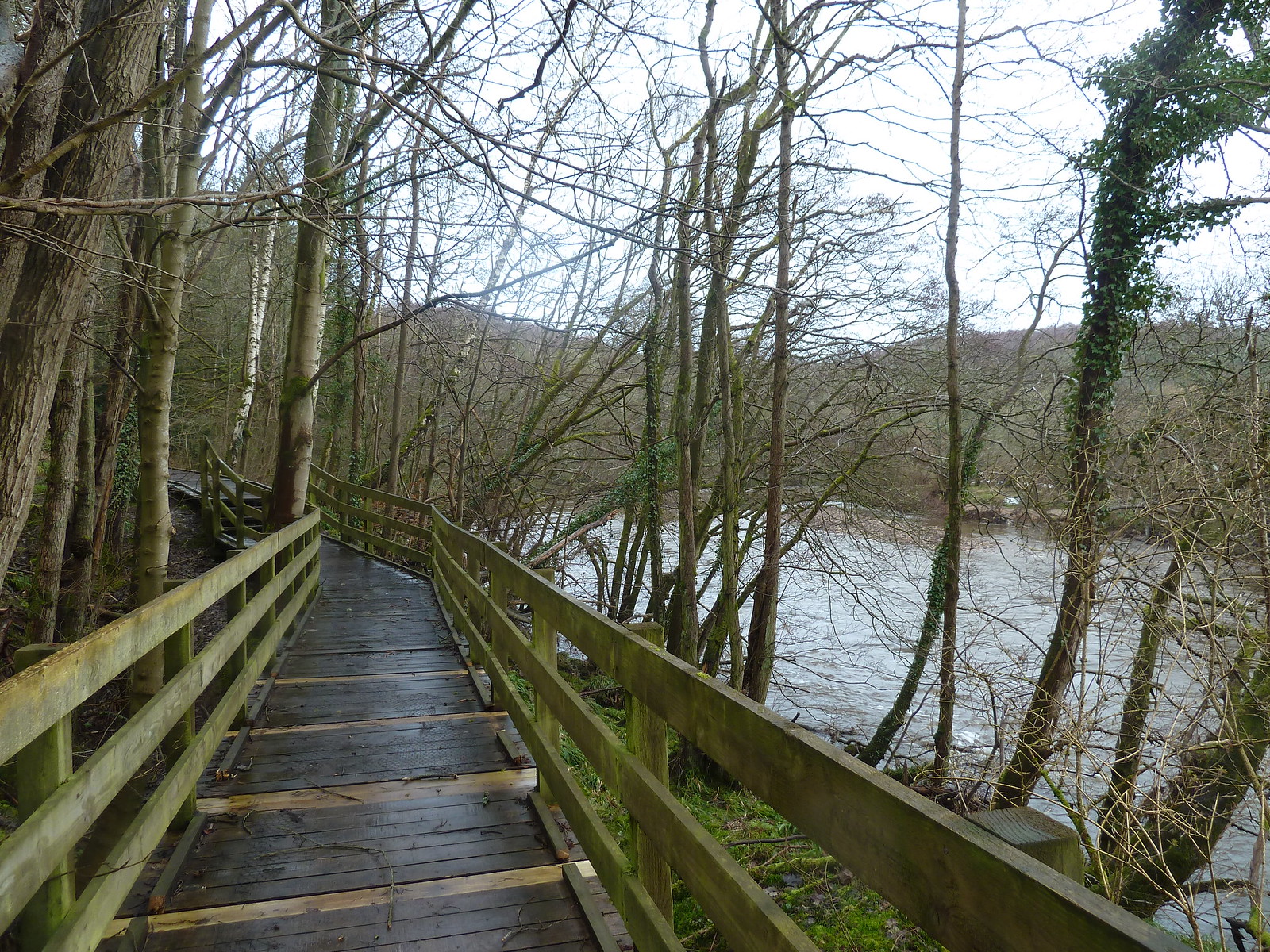
After a bit of up and down through the woods, the path eventually descends to rejoin the river and resumes its typical characteristic for this stretch...a strip of bare earth along the edge of a field with the river on your right.
Shortly though the fields give way to a strip of woodland with an embankment on the left that walkers are warned not to climb up. A strip of black plastic sheeting has also been erected on top of the embankment - presumably all this is to prevent the hoi polloi from gazing on the magnificence of Waygateshaw House...although you can see it fine anyway when the embankment ends and the path veers left briefly to negotiate some more woodland.
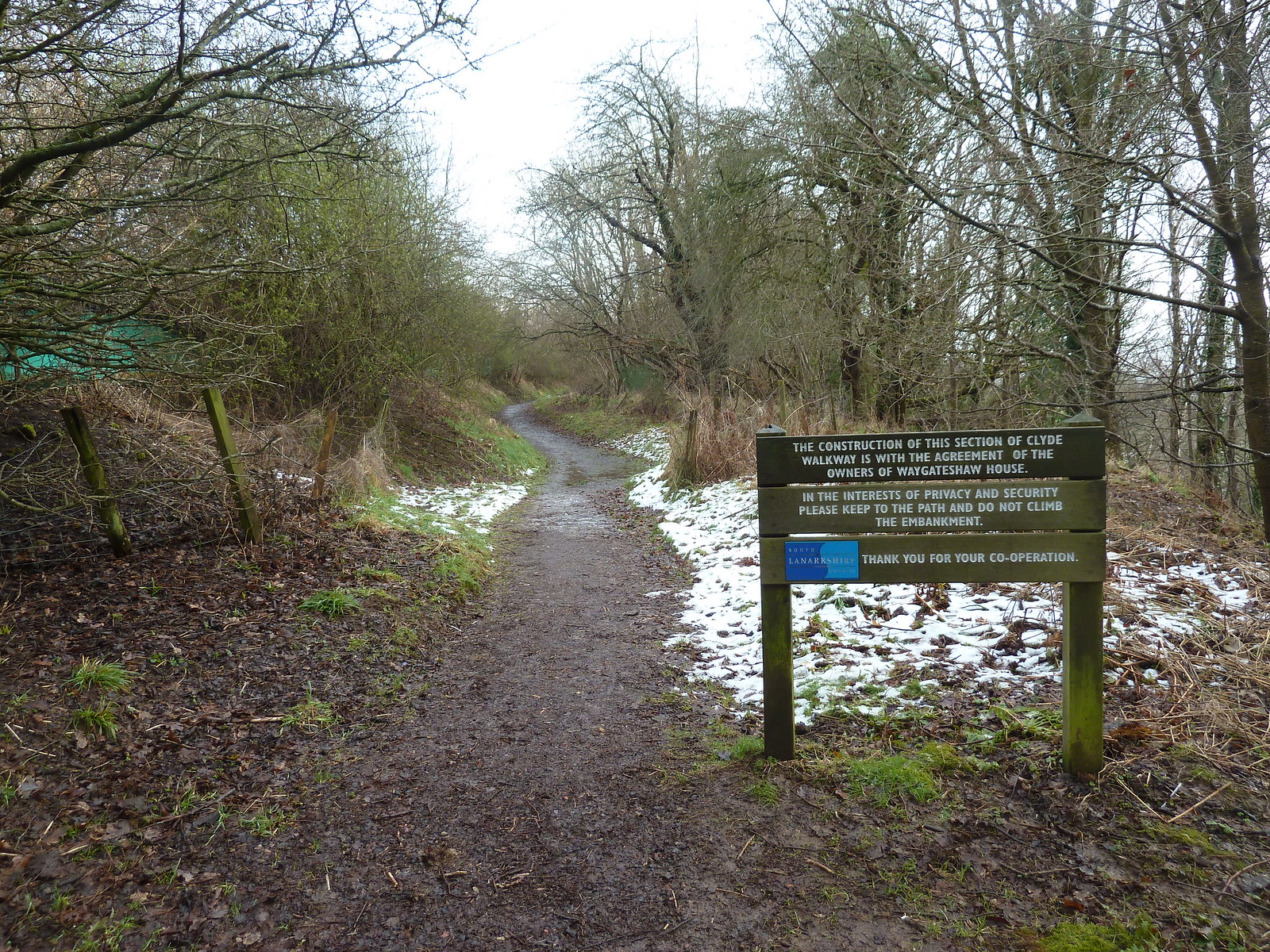
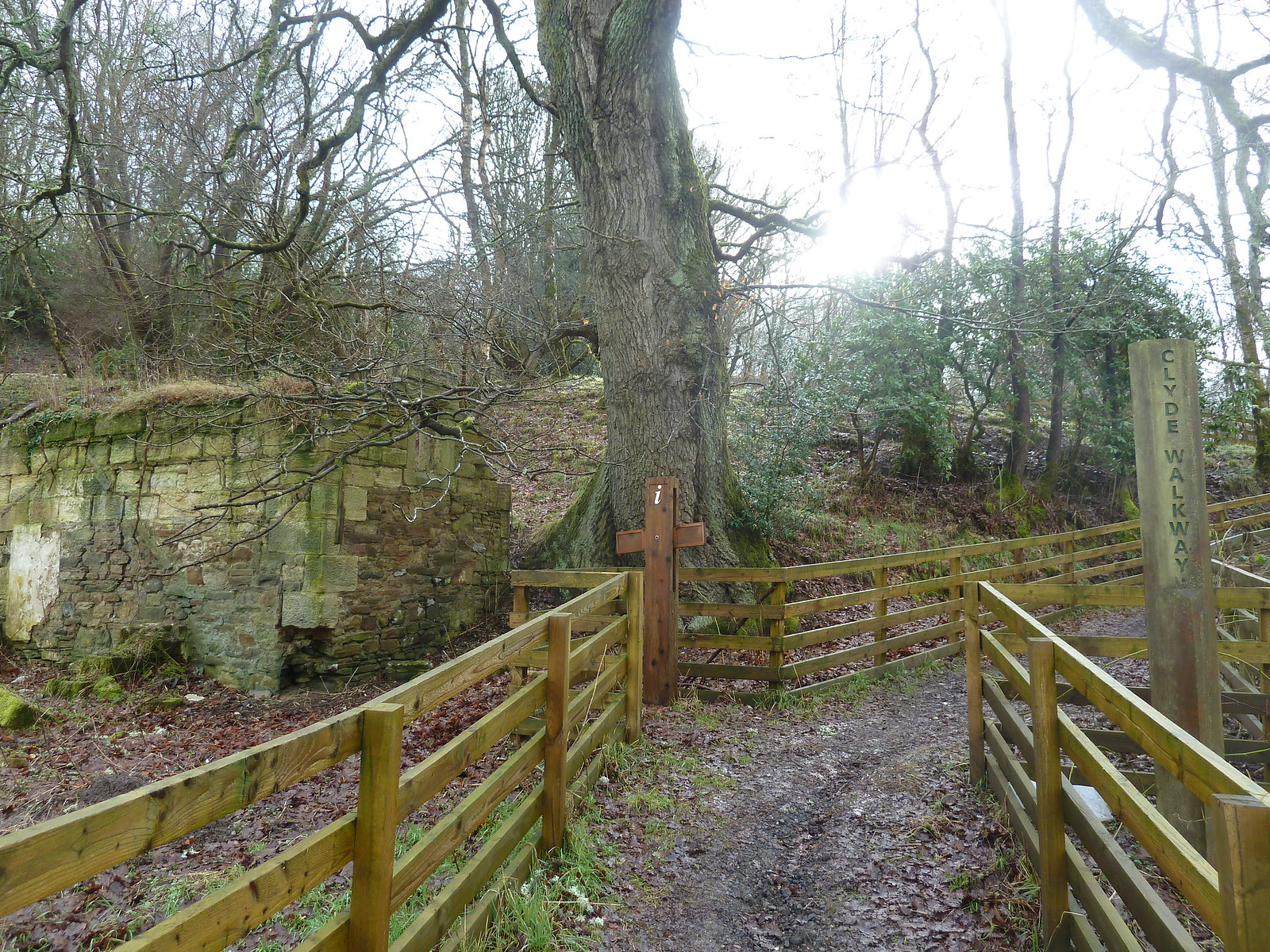
Entrance to Waygateshaw section
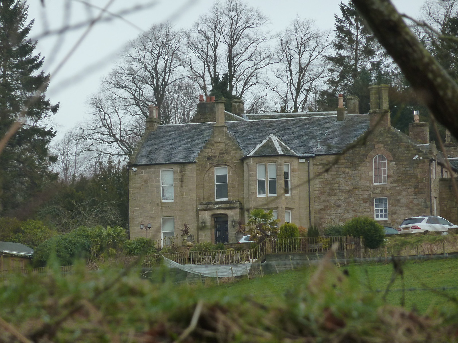
Waygateshaw House
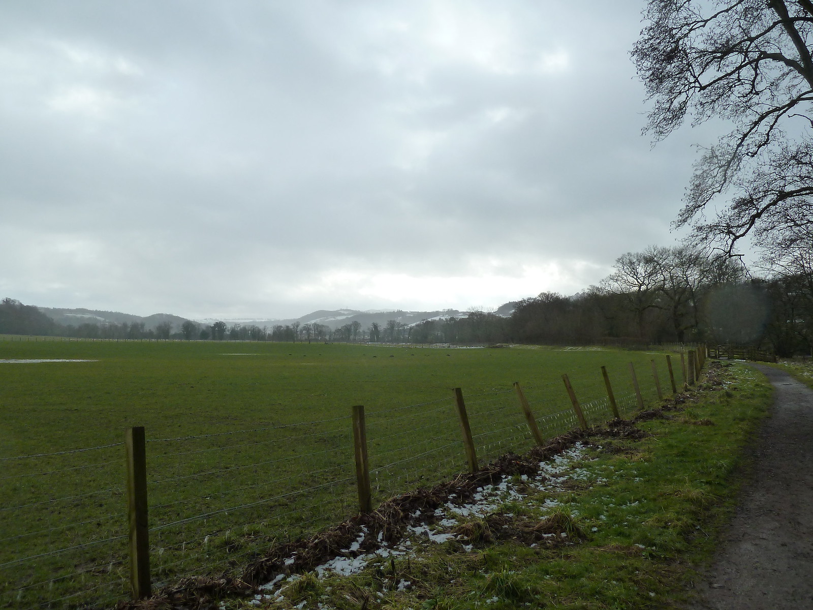
Beyond this it's back to the usual - big field on your left and river on your right - for a kilometre or so. There are some nice views of some hills to the south...Tinto Hills maybe?
Occasionally signs of civilization appear on the opposite bank, such as these riverside homes at Nethanfoot...nice spot.
At the end of this stretch the path swings round to the left and you can see Orchard House perched on the hill ahead.
Orchard House
After a brief woodland section it's back to walking along the edge of a field until the next major landmark on the route is reached - Crossford Bridge. At this point you have to cross the road to rejoin the Walkway.
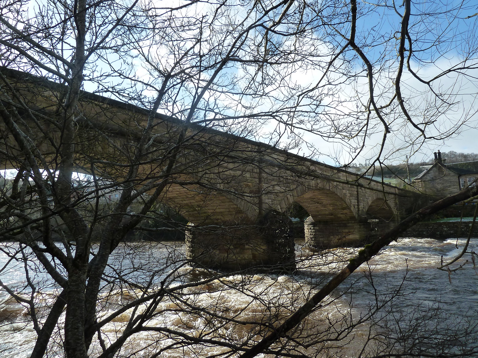
Crossford Bridge (1793)
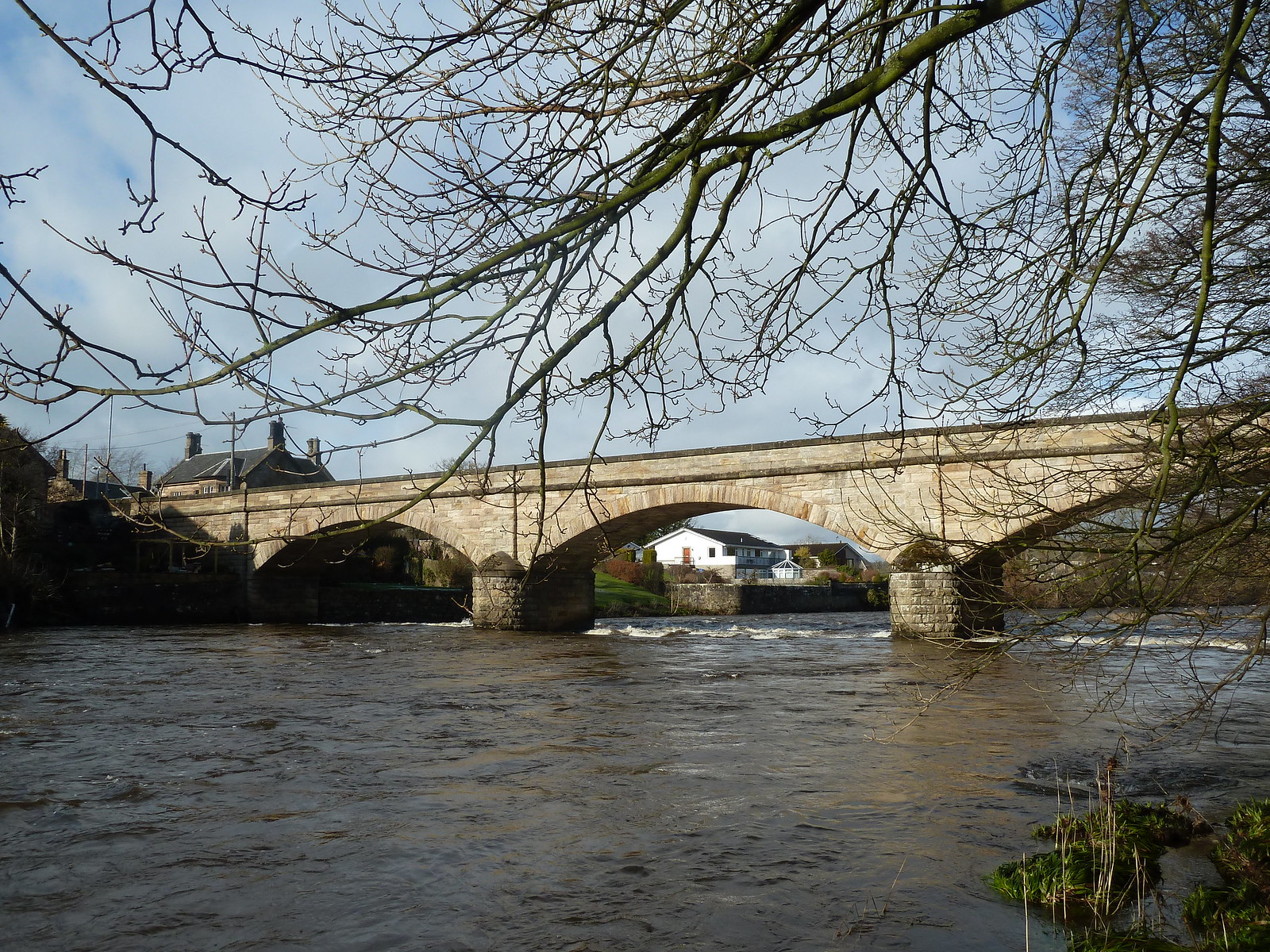
Looking back at Crossford Bridge
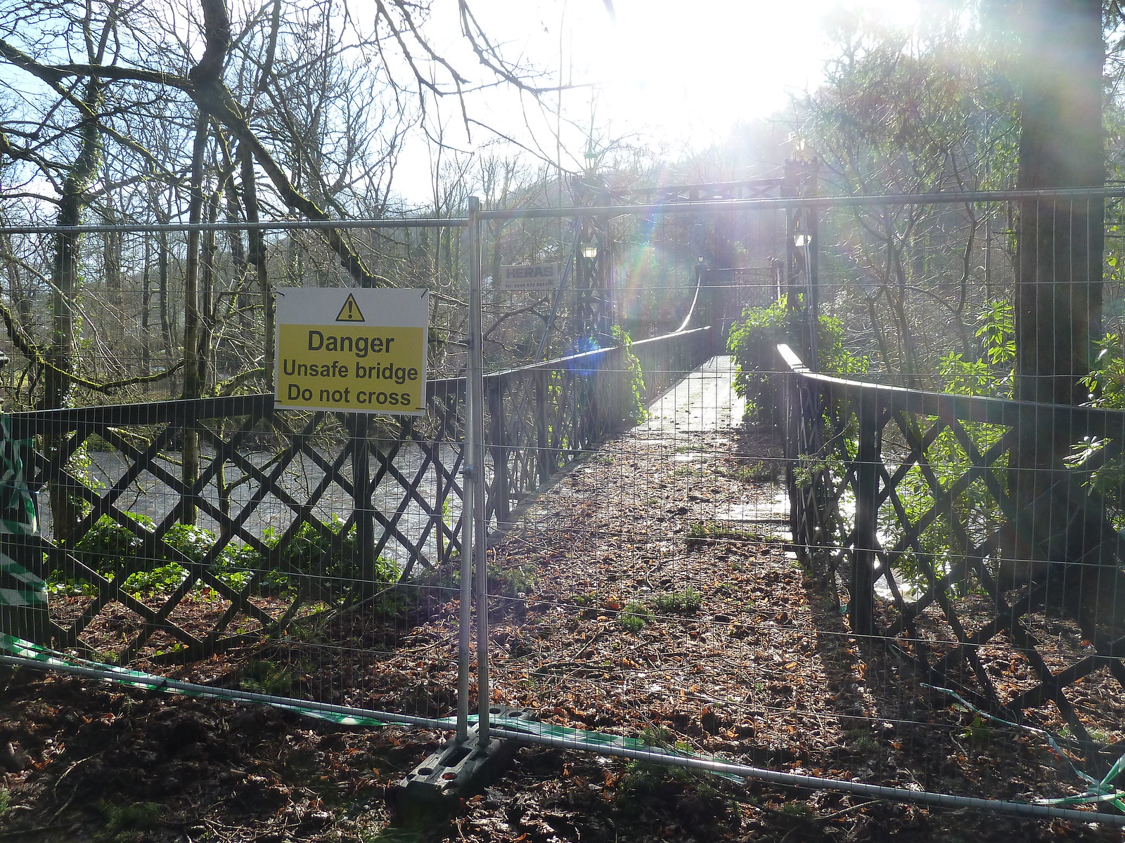
The path continues towards a pedestrian bridge which would carry you over the river and onto the main road, but if you are planning on using this potential escape route, bear in mind that this is what I saw...
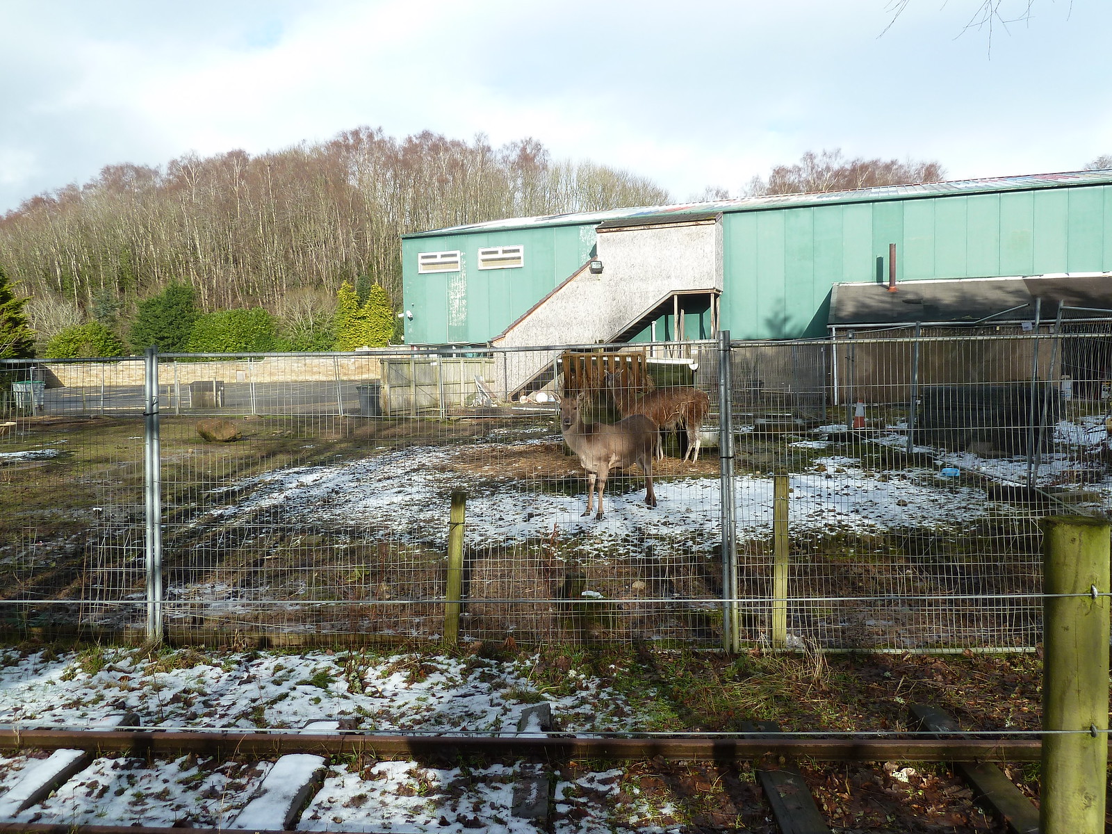
We are now in "Valley International Park", which I don't know anything about, but dare I say it looks a bit run down? There's a miniature railway line running alongside the walkway, and I came across a deer and a llama sharing a muddy enclosure...
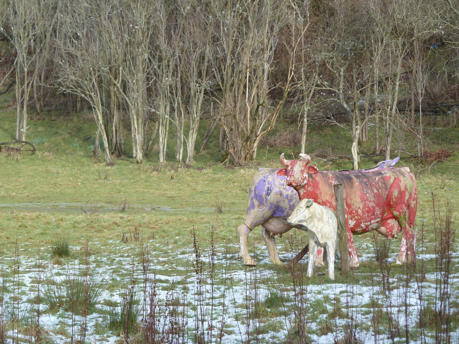
...and some sort of cow sculpture...
...however the actual walk is quite pleasant through this stretch. It's mostly a woodland walk for the next wee while, and the path gradually climbs high above the Clyde, which has been gradually getting more frisky and noisy down below. Eventually, after a fair bit of climbing, you can view Stonebyres power station below, built to harness this sudden increase in energy.
Stonebyres Power Station
From this high point the path begins to descend again into the woods and warning signs begin to appear warning of the steep nature of the upcoming terrain...but there's nothing really to worry about. There are steep drop-offs down to your right, but the path is well fenced in.
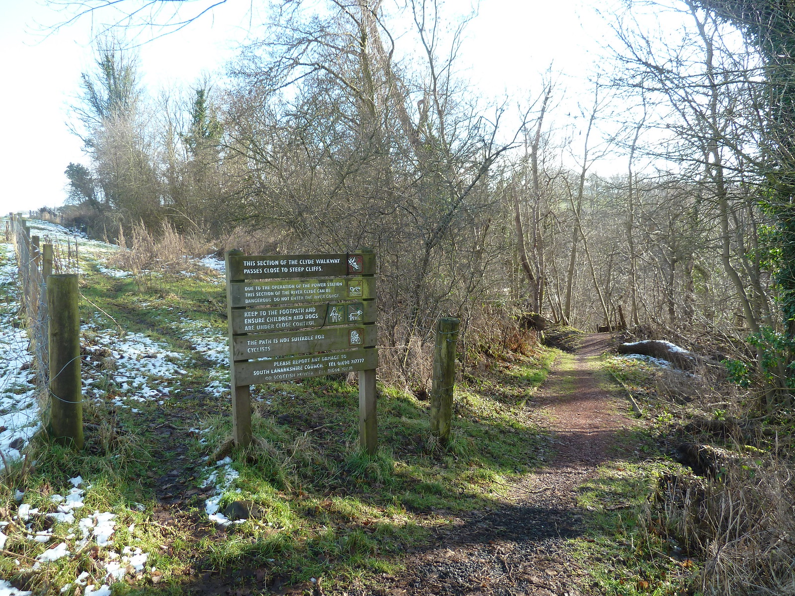
Entrance to Stonebyres section of the walk...with warning of what's ahead
Shortly after the power station is passed you begin to hear the volume of the river gradually increasing...thanks to Stonebyres Falls, which are actually quite impressive. As usual with waterfalls, a photo doesn't really do them justice.
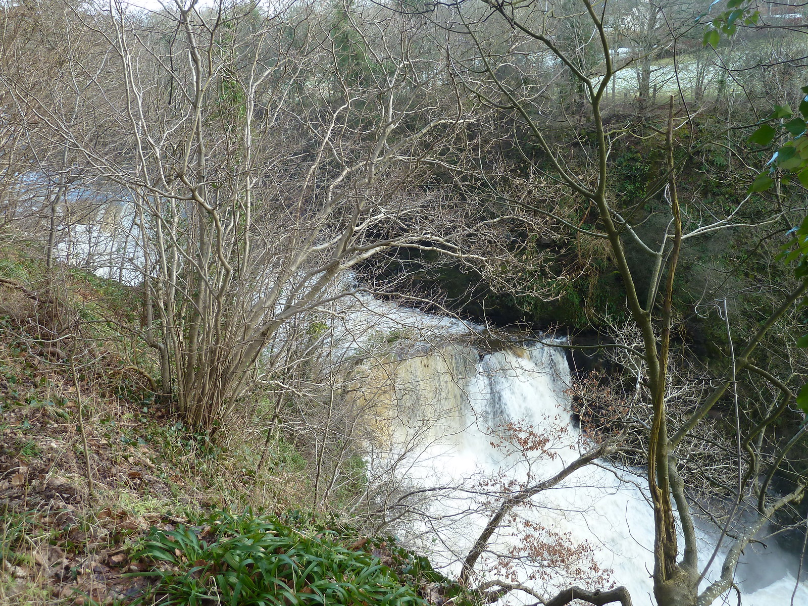
Stonebyres Falls
Shortly after the falls a footbridge/weir takes you over the Clyde. There was some work being done when I was there, and I thought I was going to have to find an alternative route north through Nemphlar, but luckily the workmen took pity on me and waved me across. The work should be finished by now, so there should be no problems there now.
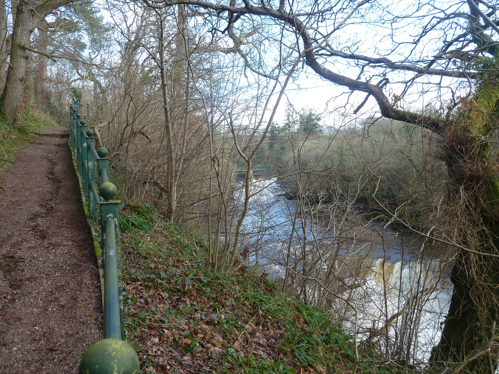
Path with footbridge in the distance
Once over the bridge, just follow the track until it joins up with the main road on the outskirts of Kirkfieldbank and the end of the stage. All in all, quite a pleasant and varied walk. Next up, a circular walk from Kirkfieldbank to the Falls of Clyde via New Lanark, and the end of the Clyde Walkway.