free to be able to rate and comment on reports (as well as access 1:25000 mapping).
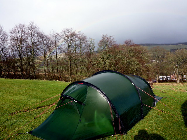
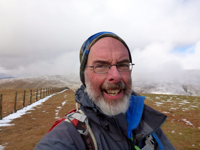
The Easter Holidays were upon us already. I had taken the Wednesday afternoon/Thursday off to maximise the hill time - originally I had hoped we might spend the time in Mull, but a combination of Allison's ongoing incapacity and a poor weather forecast ruled that out - instead I decided I'd just press on with the Donalds and Allison could tag along for a change of air. This meant having to plan campsites that allowed her some opportunity to have a wee wander whilst I was off doing the hills - Bridge of Cree campsite in Newton Stewart was our first location for 2 or 3 nights - we'd see how things went.
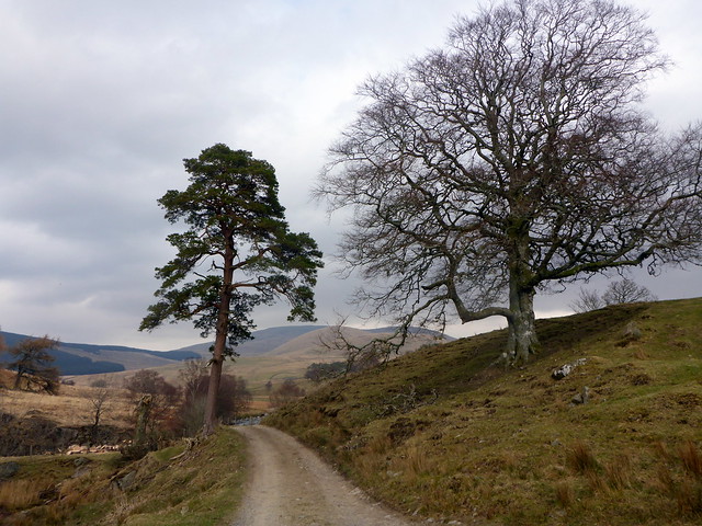
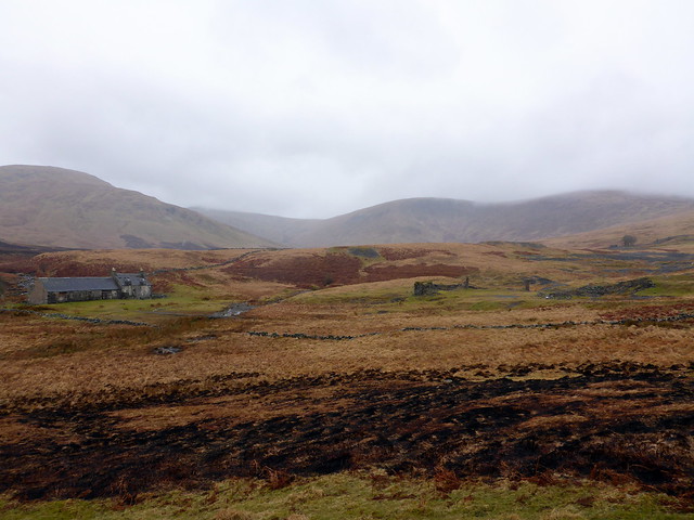
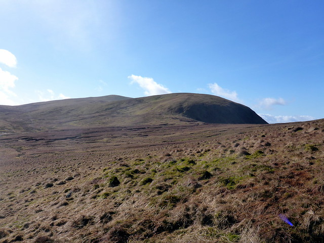
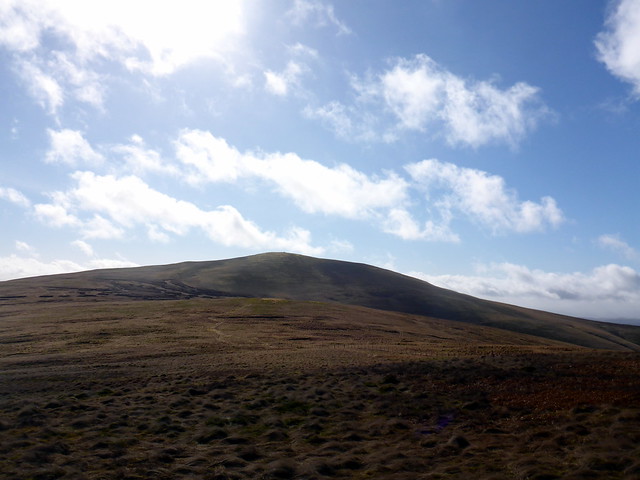
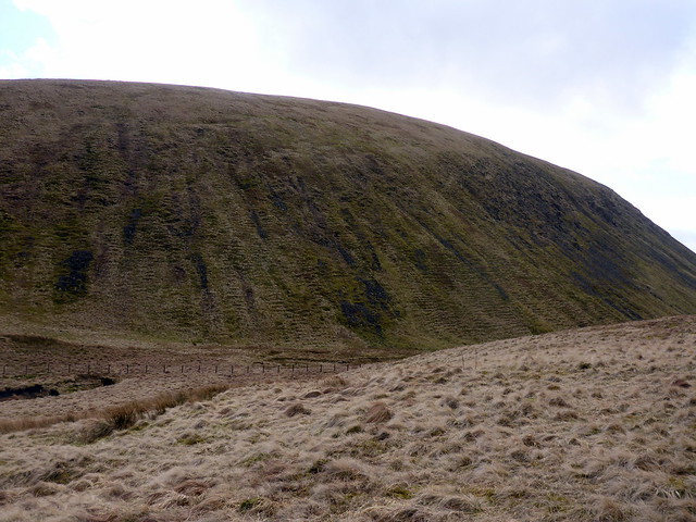
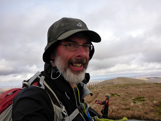
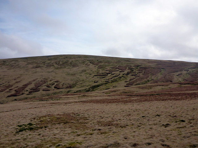
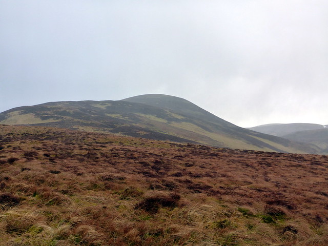
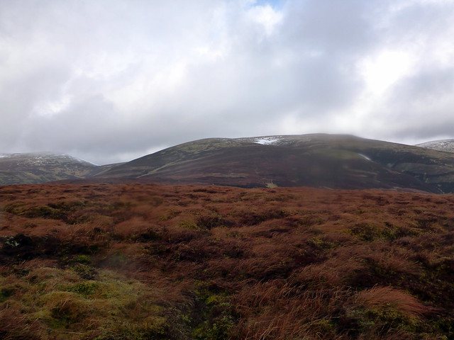
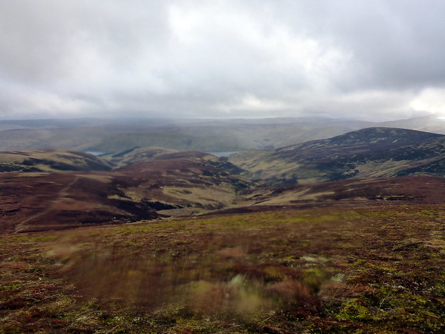
Wednesday afternoon was quite pleasant and I drove down via Carsphairn, to nip off the outlier of Benniner - something that would have been easily added onto Cairnsmore of Carsphairn - but when we were doing Corbetts, New Donalds really didn't feature on the "must bag" list. I'd looked at a couple of routes up Benniner and decided to go for the simplest, basically the Cairnsmore of Carsphairn route up from the Green Well of Scotland. I fine tramp - lots of sheep keeping me company as I walked through the famrlands then cutting up the side of Willieana and following the steep fence line up Dunool. From here a boggy bit or two to cross before rounding the southeastern aspect of Black Shoulder and making for Nick of the Lochans, thence up Benniner itself. With more time I'd have re-visited Carsphairn, but with Allison waiting in the car it was unneccessary and I romped back down in good time. We then drove the rest of the way to Newton Stewart and pitched the tent just before the rain began.
Green Well of Scotland
 P1120399
 by
Al, on Flickr
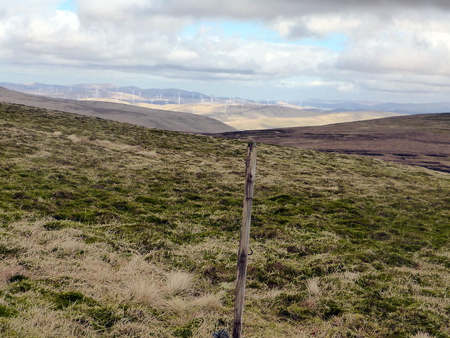
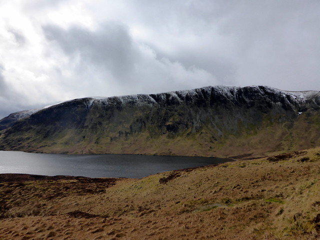
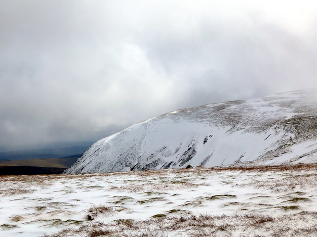
Cairnsmore/Benniner in the distance
 P1120400
 by
Al, on Flickr
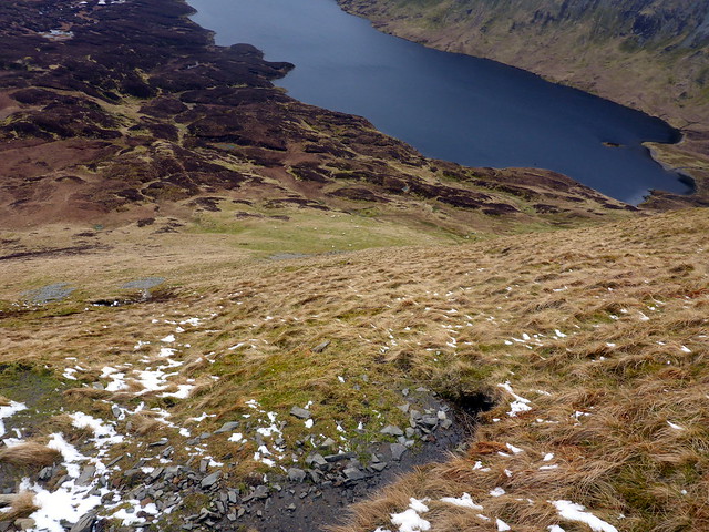
Benniner from Nick of the Lochans
 P1120403
 by
Al, on Flickr
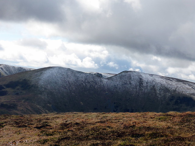
Cairnsmore from Benniner
 P1120404
 by
Al, on Flickr
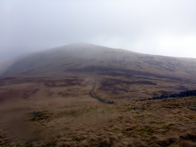
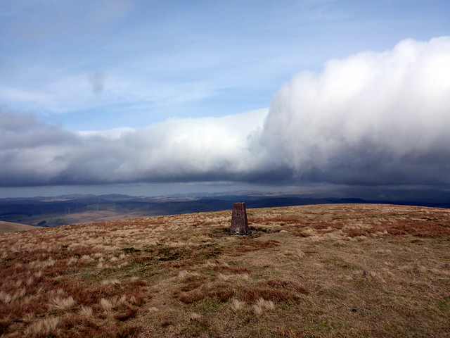
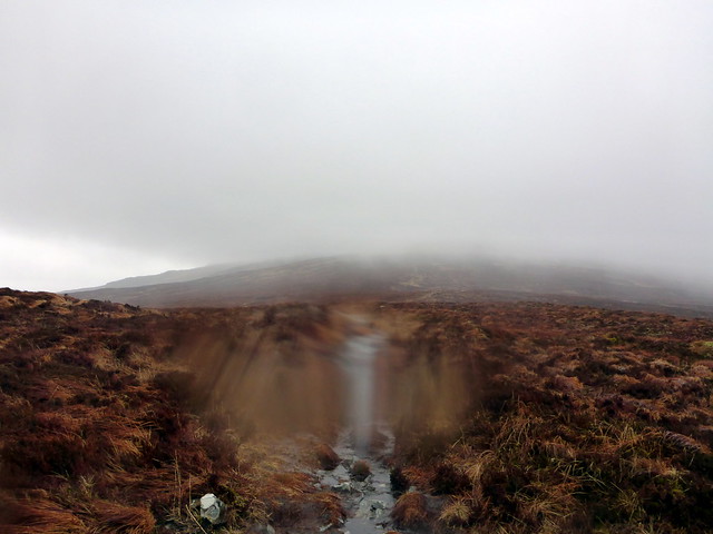
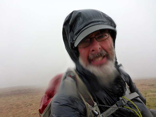
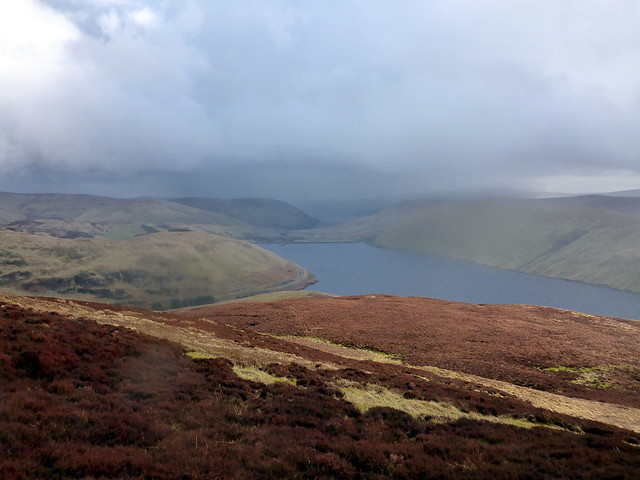
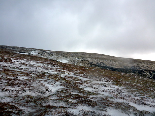
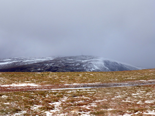
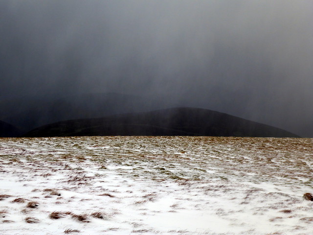
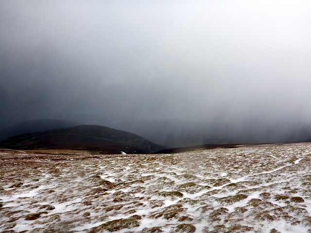
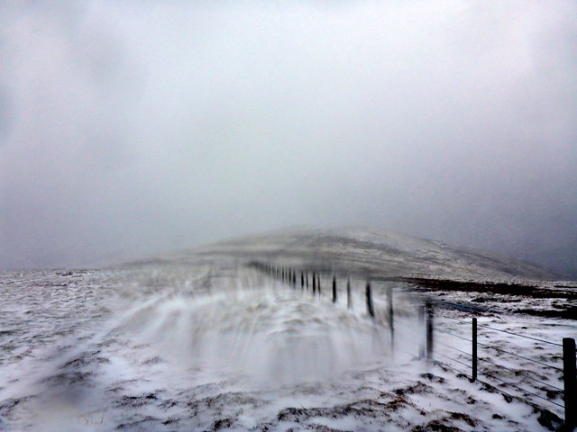
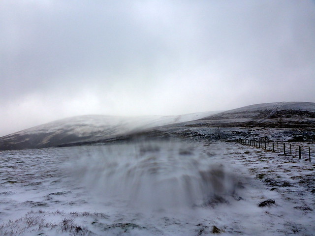
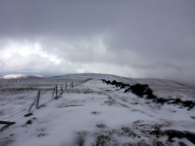
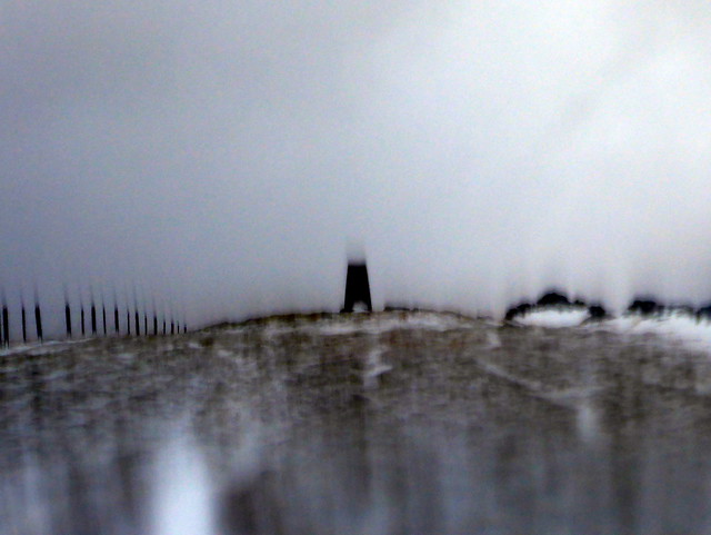
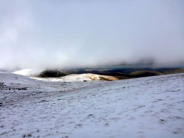
Thursday started wet - it had rained throughout the night. I got up early and drove back up to Carsphairn, roads empty in the early morning. Set off from the parking spot at Bridgend to take in the circuit of Meaul/Carlins Cairn, which we had started back at the turn of the year but abandoned due to deep snow. I walked past the lead mines, being aware of the terrain up onto Knockower and then following an ATV trail to Coran of Portmark. It rained steadily and visibility was not good as I rose above 500m. Got to the cairn and in what seemed no time I was at the next summit, the New Donald of Bow. A bit more effort was required to get to the Trig point summit of Meaul, but not much. Despite the weather I was quite enjoying this walk. However things got harder getting up to Carlin's Cairn, the extra 100 or so metres dramatically increasing the sense of exposure to the wind and sleet. At times I was struggling to remain on my feet, so that when I saw the mammoth cairn with a hollowed out inner I was much relieved. I sat in the relative calm of the shelter having my lunch - or second breakfast really - it was only 10.25

Leadmines
 P1120407
 by
Al, on Flickr
Coran of Portmark
 P1120408
 by
Al, on Flickr
Meaul
 P1120411
 by
Al, on Flickr
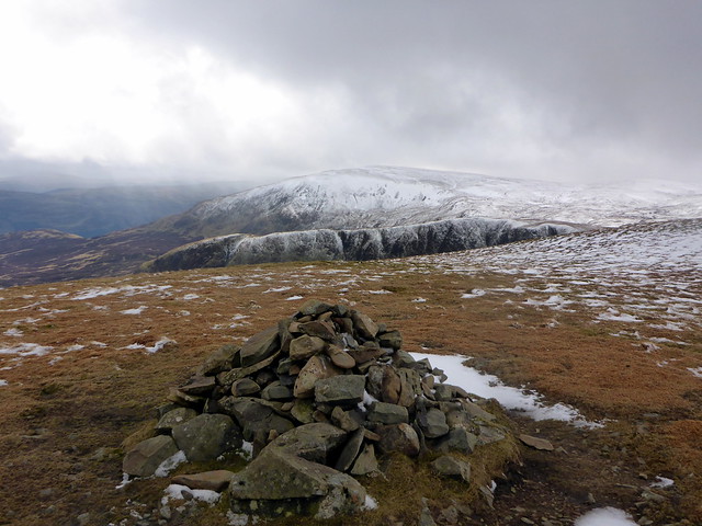
Carlin's Cairn
 P1120412
 by
Al, on Flickr
Cuppa
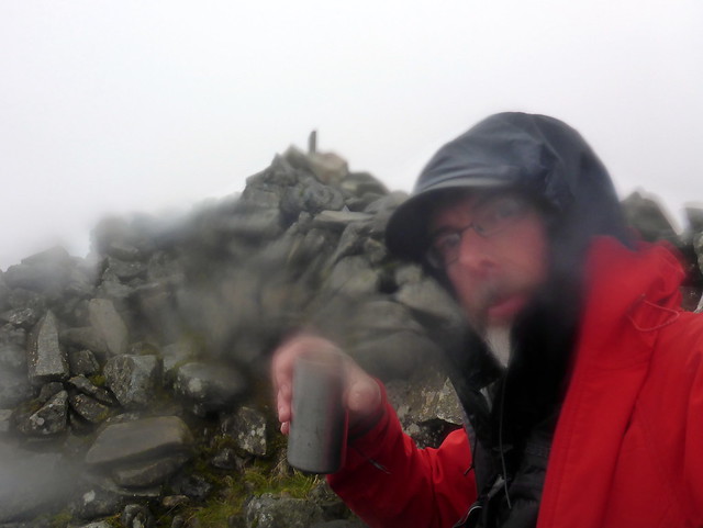 P1120413
 by
Al, on Flickr
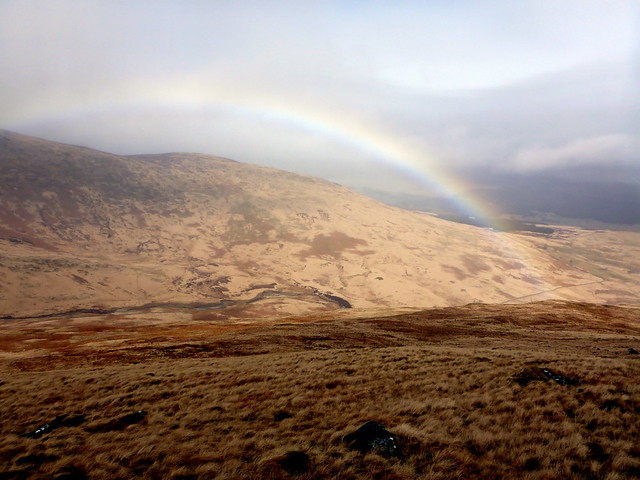
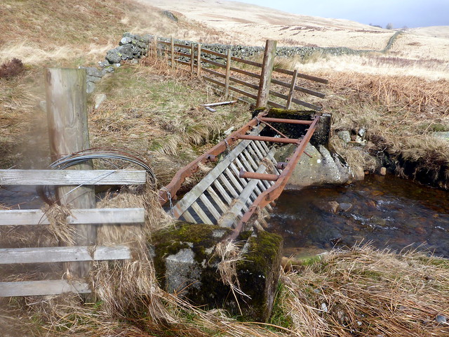
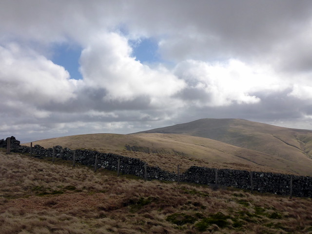
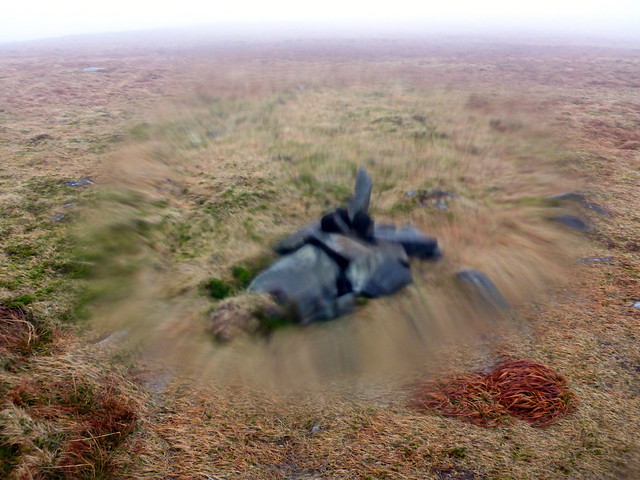
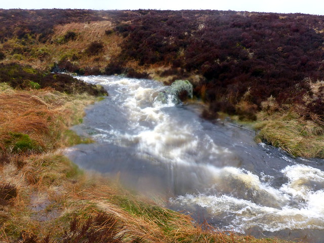
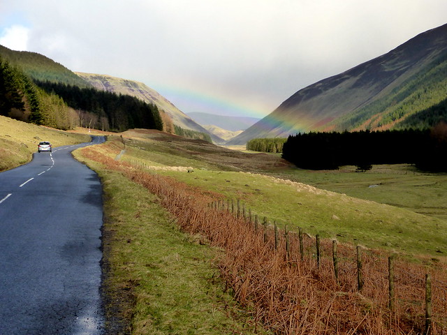
From here I had to re-trace my steps up to the summit of Meaul then head east, again along the fence line to the final hill of the day, Cairnsgarroch. Descending from here needed some care due to crags. A rainbow spanned the valley below as I headed down, over the burn with the skeletal bridge remains and back, over the mine works (being careful not to uncover a mine shaft

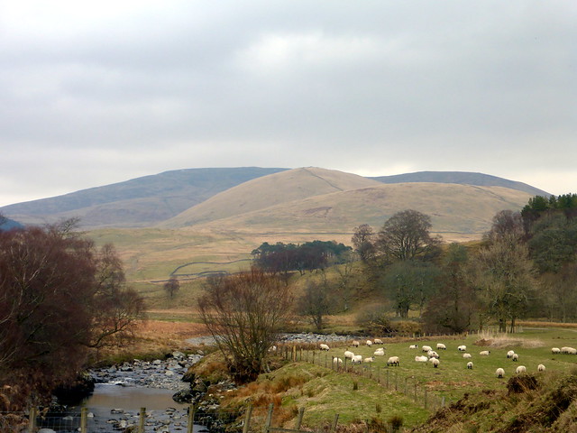
) to rejoin the path I'd walked in on. Was quite pleased with the time taken too. It dried up a bit in the afternoon and we went for a drive to the D-Day practice harbour at Garlieston then out to the Mull o'Galloway to see the lighthouse and gaze out to sea. Hoped for a visit to the pub in Port Logan but it was under refurbishment. Back at the tent an early night was in order as I had a big day planned for Friday, the best looking day weather-wise.
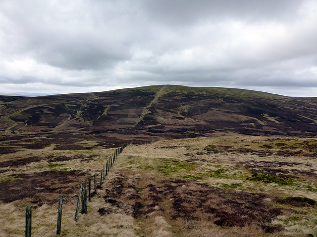
Cairnsgarroch from Meaul
 P1120414
 by
Al, on Flickr
 P1120416
 by
Al, on Flickr
"Bridge"
 P1120417
 by
Al, on Flickr
 P1120418
 by
Al, on Flickr
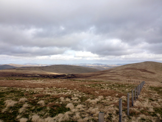
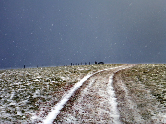
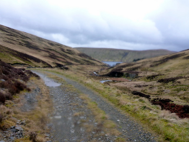
I'd originally intended to split the southern Lowther Hills over two days and relocate to somewhere nearer like Beattock. However, looking at the map it occurred to me that the hills could be combined in a circular route from the north, which had the added advantage of a higher starting point too. What's not to like. So off I go through St Johns Town of Dalry, Moiniaive, Thornhill, stuck behind a self-drive van that was doing my head in. Finally got shot of him on the A76 and enjoyed a better drive from there to the start of the small road to the Daer Reservoir and Kirkhope Farm which was my destination. Got a bit lost and ended up in the water works, but saw I'd missed a right turn and got to my destination in reasonable time all things considered. Parked on a verge and set out. Given the late change of route, I'd no planned route in my GPS, so wasn't sure just how long it would be. I'd decided to go up Nether Law/ Over Law and onto Lambs Hill as this gave a much kinder gradient than the fiercely steep sides of Rodger Law etc. The going was a little marshy in places but nothing too bad. I could make out Earncraig Hill up ahead and was pleased to see I wasn't that far off the original route along the tops. I got a little confused thinking I was making for Mid Height rather than Penbreck - it would have eventually led to the desired destination of Queensbury, just taken a bit longer.
Start of the route
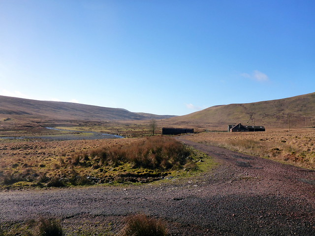 P1120419
 by
Al, on Flickr
Earncraig in centre shot
 P1120420
 by
Al, on Flickr
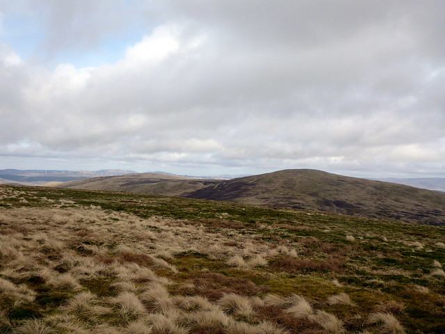
Queensbury in the distance
 P1120422
 by
Al, on Flickr
Penbreck foreground, Queensbury behind
 P1120423
 by
Al, on Flickr
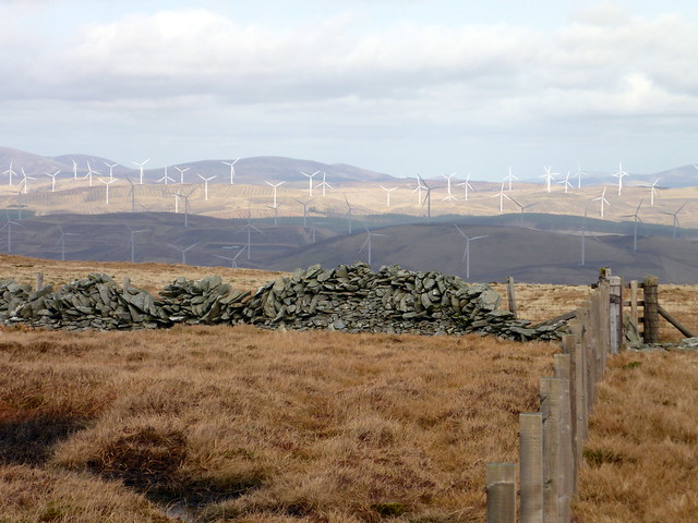
Correcting my error I ended up at Capel Yetts, facing the very steep side of Penbreck. I took the fence line up and humphed over that hill, then down the other side all the way to Queensbury, the cairn of which is some way from the fence line. I felt quite tired, but was glad I'd got the furthest away hill in the bag. Back over Penbreck then down the steep side and up the flank of Earncraig Hill past some bemused sheep. I could see the round of hills stretching away to my right - I could also see the weather coming in - looked like it might be snow - I cursed the forecast for being wrong (although in actual fact the rain held off all day). Another steepish descent along a wall line then Gana Hill rose in the distance - quite a boggy section to cross on the way to it - met a bloke who was doing the same circuit but in reverse - this heartened me as if he'd done the remaining hills in the time it had taken me to do the first ones then it must be an easier out leg for me. I pressed on to the top of Gana Hill, which gets a good road at the top for some reason. I could see another undulation down to Wedder Law, on the way to which I found an extinct Met Office balloon and parachute.
Queensbury from top of Penbreck
 P1120424
 by
Al, on Flickr
Queensbury
 P1120426
 by
Al, on Flickr
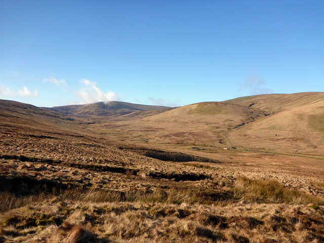
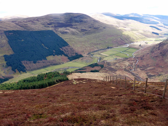
View over the circuit to come - Gana hill on the left
 P1120427
 by
Al, on Flickr
Steep side of Penbreck
 P1120430
 by
Al, on Flickr
Gana from top of Earncraig
 P1120432
 by
Al, on Flickr
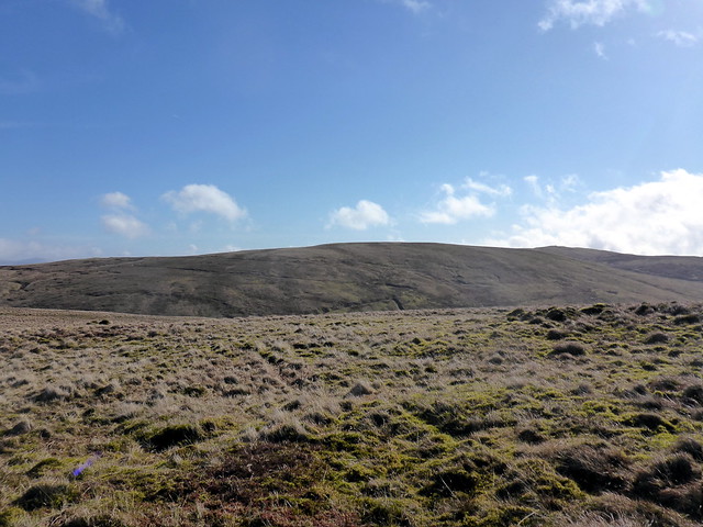
Near top of Gana
 P1120435
 by
Al, on Flickr
Summit Gana
 P1120436
 by
Al, on Flickr
Wedder law
 P1120438
 by
Al, on Flickr
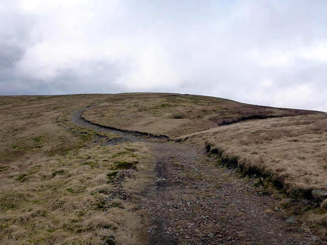
Another 100m up to Wedder Law then a brief dip to Scaw'd Law. From here I could see the end of the route - it's a short distance along the ever present fence line to the Graham of Ballencleuch Law, then off to the left I could see Comb Law hiding behind Rodger Law- this was an outlier that would add 5km onto the circuit. Ballencleuch was easy to summit then I dropped down into boggy ground riven with peat hags to get over to Hirstane Rig and Comb Law beyond. This was a bit irritating - it would be possible to avoid them by losing more height or by keeping high along the fence line and taking more distance to cover. I squelched a middle line and slowly got to the top of Comb Law, with fine views across to the huge windfarm over the A74. Tracking back I had 1 hill remaining. I contoured round a bit lower and aimed directly for the flank of Rodger Law, aonther 100m or so of ascent won't kill me. A trig point is reward for my travails and then it's down the steepish south eastern shoulder of Rodger back to the farm. I can see the car waiting patiently, which spurs me on - I pick up an ATV track over the final section of the descent and feel a good sense of acomplishment with today's wanders. It doesn't take too long to head back to Newton Stewart and we visit the delights of Little India for a no-bad curry.
Summit Wedder
 P1120439
 by
Al, on Flickr
Scaw'd Law
 P1120441
 by
Al, on Flickr
Ballancleuch
 P1120444
 by
Al, on Flickr
Summit Ballencleuch, Comb to the Left, Rodger ahead
 P1120445
 by
Al, on Flickr
Another Graham gets it
 P1120446
 by
Al, on Flickr
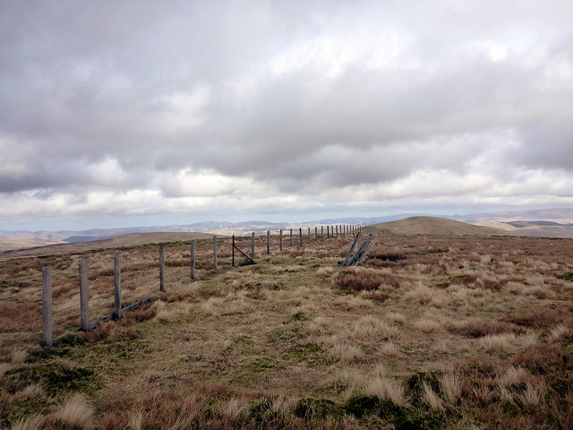
Comb/Rodger
 P1120447
 by
Al, on Flickr
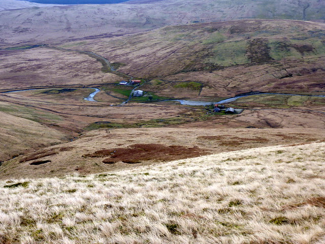
Daer Reservoir
 P1120448
 by
Al, on Flickr
Summit Comb
 P1120450
 by
Al, on Flickr
Rodger from Comb
 P1120452
 by
Al, on Flickr
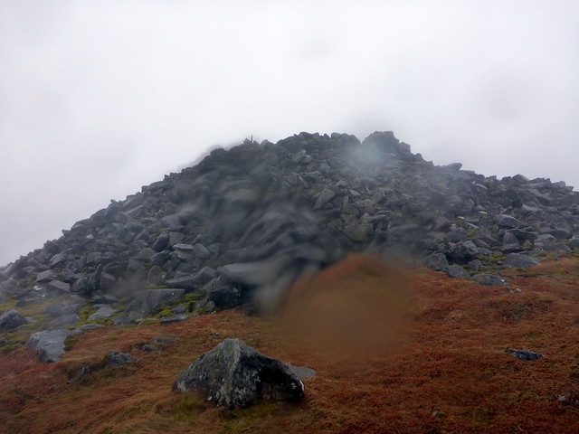
Summit Rodger
 P1120453
 by
Al, on Flickr
Kirklands Farm
 P1120455
 by
Al, on Flickr
 P1120456
 by
Al, on Flickr
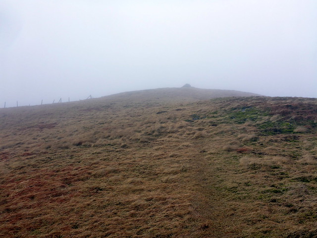
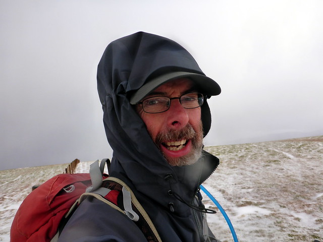
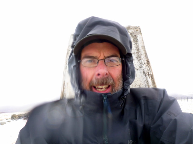
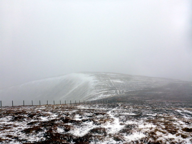
The forecast for Saturday is horrendous and I decide I'll do a tiny walk that day and we'll relocate thereafter. The north top of Shalloch on Minnoch is another New Donald - again simple to pick off from the Corbett... oh well. I decide to cheat and take the shortest route from just south of Stinchar Bridge. Everything is soaked, the roads deep with surface water and I create fountains and cascades as I drive through. Little else on the roads apart from one lumbering forestry lorry which comes on towards me like a juggernaut. I park up in one of many laybys and prepare for the water assault. It's blowing a hooly and pouring - nice. First there's the little matter of a wee burn to cross. I take a look - at about 6 feet wide I can't jump it - will be a wet start to the day to wade it...with no other options that's what I do. Water's up to mid thigh but I'm not prepared for the strength of the current and I am swept off my feet - fortunately I grab a rock on the other bank, but not before I'm in chest deep and have banged my left thigh on some unseen rock under the water. I haul myself out, drookit and set off up the heathery hillside, before long picking up a path that makes the going a bit easier. It does get very boggy in places, but I am so wet I don't really care. I am aware of having the same burn to cross over on the way back, niggling at me all the time I'm heading uphill. After a wet and windy slog I reach the small cairn at the summit. I hope that the path might end in an easier place to cross the burn than I took, but it doesn't, still a raging torrent. I consider going round to the bridge, but that would involve various convolutions, forestry and no guarantee I didn't have to cross tributaries....so I just go for it again, this time lowering myself in and bracing against the current, still a bit frightening. I am totally soaked when I get back to the car and drip all the way back down the road - I'm also feeling the cold now and it takes hours to fully warm up despite changing clothes and putting the heated seat on.
Caerloch Dhu
 P1120457
 by
Al, on Flickr
 P1120458
 by
Al, on Flickr
wet & windy
 P1120459
 by
Al, on Flickr
The wee burn
 P1120460
 by
Al, on Flickr
 P1120461
 by
Al, on Flickr
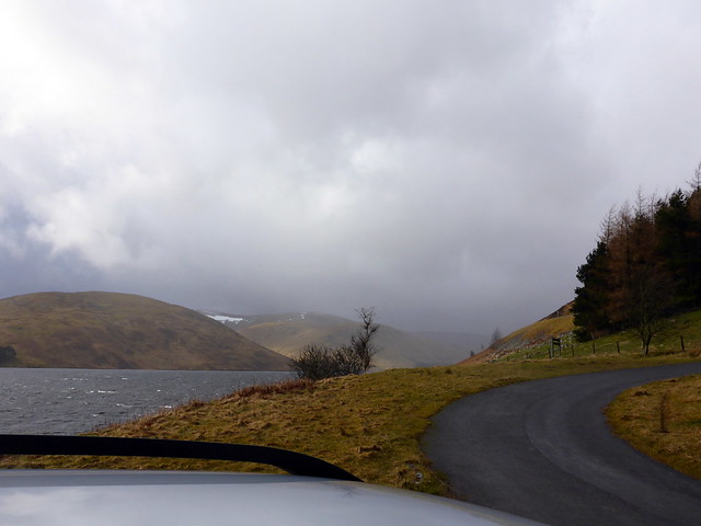
We pack up the tent and head off in the rain to Dumfries. I reckon we can get lunch there and then head towards what I've decided will be our location for the next 2 nights - Tibbie Shiels campsite near Cappercleuch. Dumfries is wet, but the food in the Hulabaloo restaurant is fine (they have a separate vegan menu so SK is spiolt for choice). we walk around own for a wee bit then head off back to Moffat, up past the Grey Mare's Tail and to Tibbie Shiels. Which appears deserted and more worryingly, the camping field seems largely submerged. Not good. I'm annoyed by this failure of reality to adhere to my plans and search google for alternatives, ending up choosing Rosetta Caravan park in Peebles - further than I wanted to be from the hills round the Meggat water but more suitable for Allison. We pitch up and prepare for a night of gales.
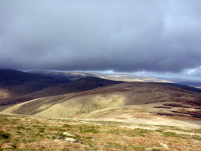
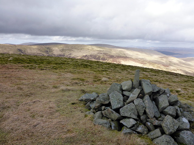
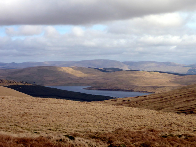
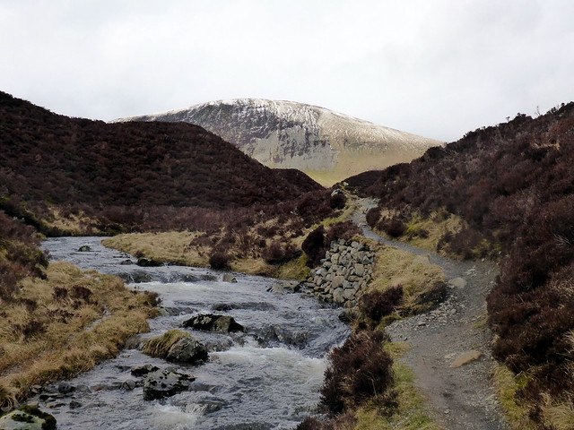
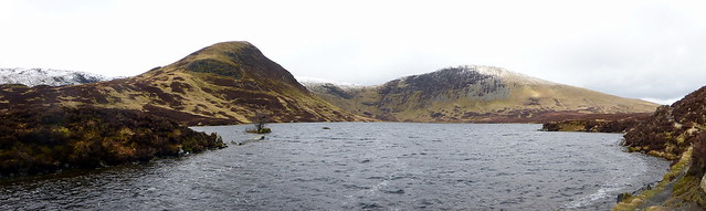
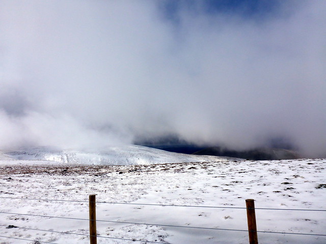
Sunday's forecast is for strong winds, hail and thunder - fab. I would have liked to have tackled the Talla Linnfoots circuit but I reckon that's too big for bad weather, especially having to include Lochcraig Head and Carrifans Gans. Nope, it will be Cramalt Craig and Dollar Law for me, with a couple of New Donalds - Clockmore and Hunt Law thrown in. I drive down the B709 then along the Meggat Reservoir road for 3 miles until I reach the indent at cramalt. There's a parking spot on the waterside and I leave the car there (unfortunately left my map and snow goggles in the car..). I set off back to the road and up the very steep start of Clockmore, which eases onto a more pleasant gradient. Hailstones intermittently lash me and I pull the brim of my cap ever lower to fend them away from my face. Hauling myself up the slopes of Cramalt Craig i look over to Broad Law and see the high level bealach between the two hills. More snow/hail against a black sky as I reach the summit cairn on Cramalt.
Start of the walk at Cramalt
 P1120462
 by
Al, on Flickr
Clockmore
 P1120463
 by
Al, on Flickr
Meggat reservoir
 P1120466
 by
Al, on Flickr
Towards Cramalt Craig
 P1120467
 by
Al, on Flickr
Around 750m
 P1120469
 by
Al, on Flickr
Broad Law
 P1120470
 by
Al, on Flickr
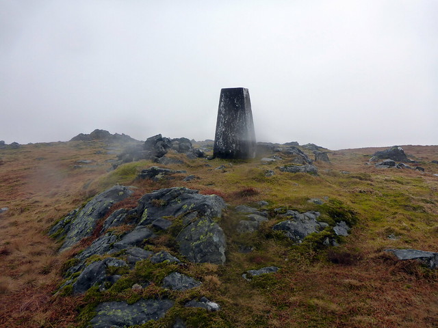
Summit Cramalt Craig
 P1120471
 by
Al, on Flickr
 P1120473
 by
Al, on Flickr
Now I have to drop down to Hunt Law - about 2.5km each way...damned outliers! It's boggy across the flattish area before Hunt Law rises, there's a good track up the last 50m or so of Hunt Law and I'm then heading back up Cramalt, contouring round northwards toward Dun Law to avoid unnecessary ascent. It feels decidedly wintery up here today. I reach the fence line and trot up to Fifescar Knowe then the few hundred metres to Dollar Law. When we did the circuit on the opposite side of the valley recently, Dollar Law was sillhouetted against sunshine - today it is blasted by freezing winds and icy hail, I hunker down on the leeward side of the trig point to have my lunch and think how to get down. I have my GPS map and it looks like I can go down over Notman's Law then pick up a track running alongside the cramalt Burn - this I do with little difficulty - only irritant is that it starts raining heavily when I'm a few hundred yards from the car, soaking my gear which had managed to dry off largely due to the fierce wind.
Hunt Law from Cramalt
 P1120474
 by
Al, on Flickr
Nice weather
 P1120475
 by
Al, on Flickr
Summit Hunt
 P1120479
 by
Al, on Flickr
Cramalt to Dun Law
 P1120481
 by
Al, on Flickr
Fifescar Knowe
 P1120482
 by
Al, on Flickr
Fifescar to Dollar
 P1120484
 by
Al, on Flickr
Dollar
 P1120485
 by
Al, on Flickr
 P1120487
 by
Al, on Flickr
Return route from Notman Law
 P1120489
 by
Al, on Flickr
 P1120490
 by
Al, on Flickr
 P1120491
 by
Al, on Flickr
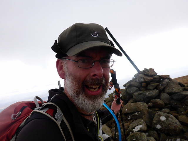
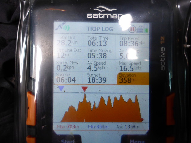
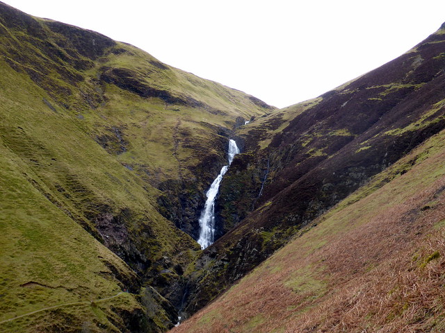
Back at the campsite it's shower then some food - the weather is very changeable with settled spells of sunshine interspersed with rain/big winds. We walk into town for a drink then return. I hoped to be up early for the big circuit of the Talla Linfoots which means getting up at 6 (which is really 5 as the clocks have just gone forward) but that doesn't happen and I decide to have a slothful morning instead. We pack up and Allison asks if I'm doing a hill - I decide why not - I'll do Lochcraig Head from the Grey Mare's Tail, on our route back tot he M74 anyway. We park up at a quite busy Grey Mare's Tail car park and I set off up the track to Loch Skeen amid families and dog walkers. I'm not hanging about and power on up the steep hillside. The waterfall looks pretty but not as big as I'd expected. I press on along the shore of the loch, boggy here, and see the impressive bluff of Lochcraig Head in front of me. I elect for the direct route - which is steep but rewarding. I pech up to the summit just as the visibility palls into a white mist of snow/hail. Oh great! (later on, after getting home, loading the stats into hill-bagging.co.uk i find out that this has been my 1000th SIMM - much joy and cheer - only another 1184 to go

)
Rosetta campsite
 P1120493
 by
Al, on Flickr
Grey Mare's Tail
 P1120494
 by
Al, on Flickr
Lochcraig Head (on right)
 P1120495
 by
Al, on Flickr
Lochcraig Head
 P1120496
 by
Al, on Flickr
Loch Skeen
 P1120497
 by
Al, on Flickr
Towards White Coomb
 P1120500
 by
Al, on Flickr
Steeply up Lochcraig Head
 P1120501
 by
Al, on Flickr
Summit Lochcraig to White Coomb
 P1120502
 by
Al, on Flickr
I could turn and go back but that seems a waste of height hard gained. The other option is to go over to White Coomb and do the outlier of Carrifran Gans - this would mean that when I do get around to the Linnfoots circuit it's much more manageable. It shouldn't take too long, i think - Allison is reading her book... OK lets go for it. I nip down the side of Lochcraig Head, pleased that I have taken the time to climb this particular hill individually as it would just be another bump on the bigger circuit if included that way. In the whiteness I find my way to Firthybrig Head and thence to Donald Cleuch Head and Firthhope Rig where I find myself ahead of a pair of walkers. I nip up to White Coomb then follow the SW shoulder to Carrifran - I can just see the outline of the hill in the snowy air. Once at the summit there's a decision to be made - how to get down? The eastern shoulder, taking me in the direction of the car park, is tightly swathed in forestry in the lower 300m or so - don't fancy having to force my way through that - which means taking thesouthern shoulder and having a few km to walk back along the road. It is a steep descent but along a fence/wall. There's a clearing near the bottom and I decide to head through the trees for the last section, saving a bit of time. Out on the road I powerwalk back to the car, find Allison still reading her book and make some lunch before heading back up the road.
 P1120504
 by
Al, on Flickr
White Coomb
 P1120505
 by
Al, on Flickr
Towards Carrifran Gans
 P1120507
 by
Al, on Flickr
Carrifran Gans
 P1120508
 by
Al, on Flickr
Summit Carrifran
 P1120510
 by
Al, on Flickr
 P1120511
 by
Al, on Flickr
Under Saddle Yoke
 P1120512
 by
Al, on Flickr
Descent
 P1120513
 by
Al, on Flickr
 P1120514
 by
Al, on Flickr
 P1120515
 by
Al, on Flickr
So not the most exciting of Easter Holiday weekends, at least by the standards of the last few years, but under the current circumstances and constraints a fairly productive one and the end of the Donald round is in sight now
