free to be able to rate and comment on reports (as well as access 1:25000 mapping).
Yes, yes I know a few folk who have walked with me over the years will find the title difficult to believe, but I managed to follow the WH route perfectly


This walk was planned midweek, I volunteered again to support my son who was taking part in the 'Highland Fling' for the 4th time

. A mere 53 miles from Milngavie to Tyndrum, with 7500ft of ascent
, would you believe it was fully booked up - 1000 entrants, along with quite a few relay teams. My plan was to be at the finish in Tyndrum for about 5pm, as he estimated/hoped to finish in under 12 hours, for the record the winner broke the course record and finished in under 7 hours
So I looked at the hill options close (ish) to Tyndrum, Munro's were out of the question, so I looked at the Corbett options and Beinn a' Chaisteil (Auch) and Beinn nam Fuaran seemed like the perfect option
I worked out timings and left Fife at 7.30 and headed west along the road to Crianlarich that I am rather familiar with

I arrived at the parking area just after 9am and it had the makings of a cracking day, I decided to leave the waterproof trousers in the car, but took the winter tackle just in case

There was one other vehicle perched at the roadside, I decided to park as far away from the road as possible, which isn't easy. It is only when you are getting ready that you realise how fast the traffic whizzes along
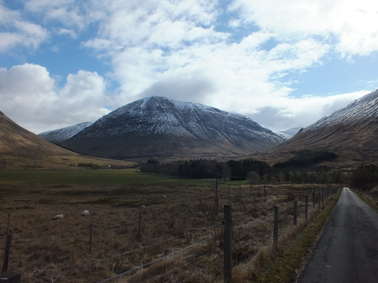
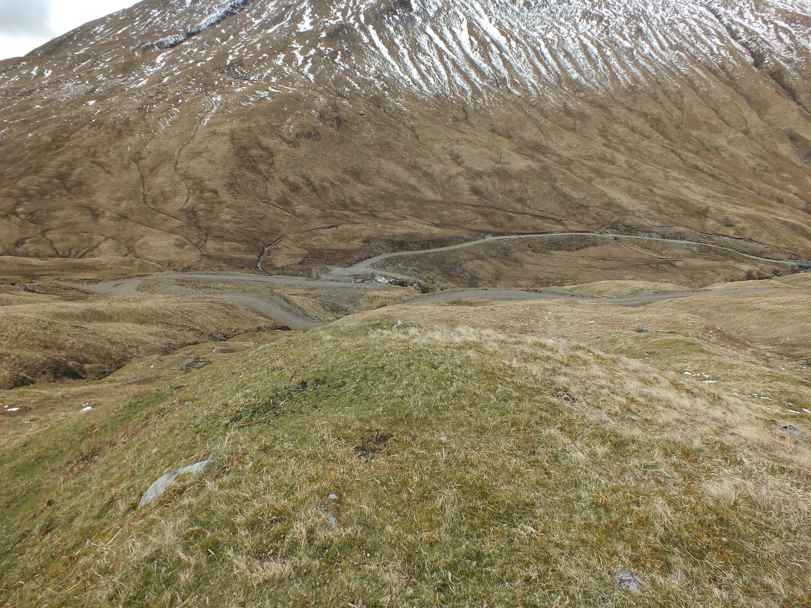
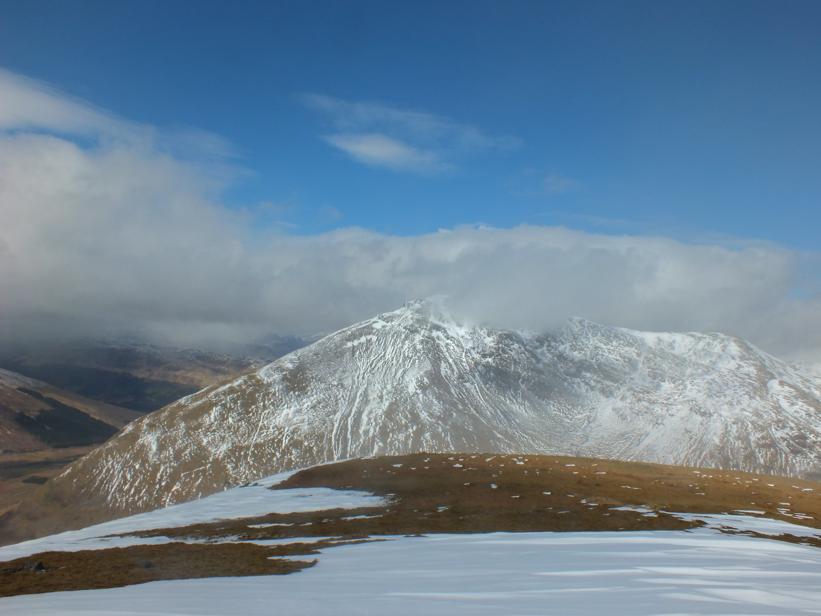
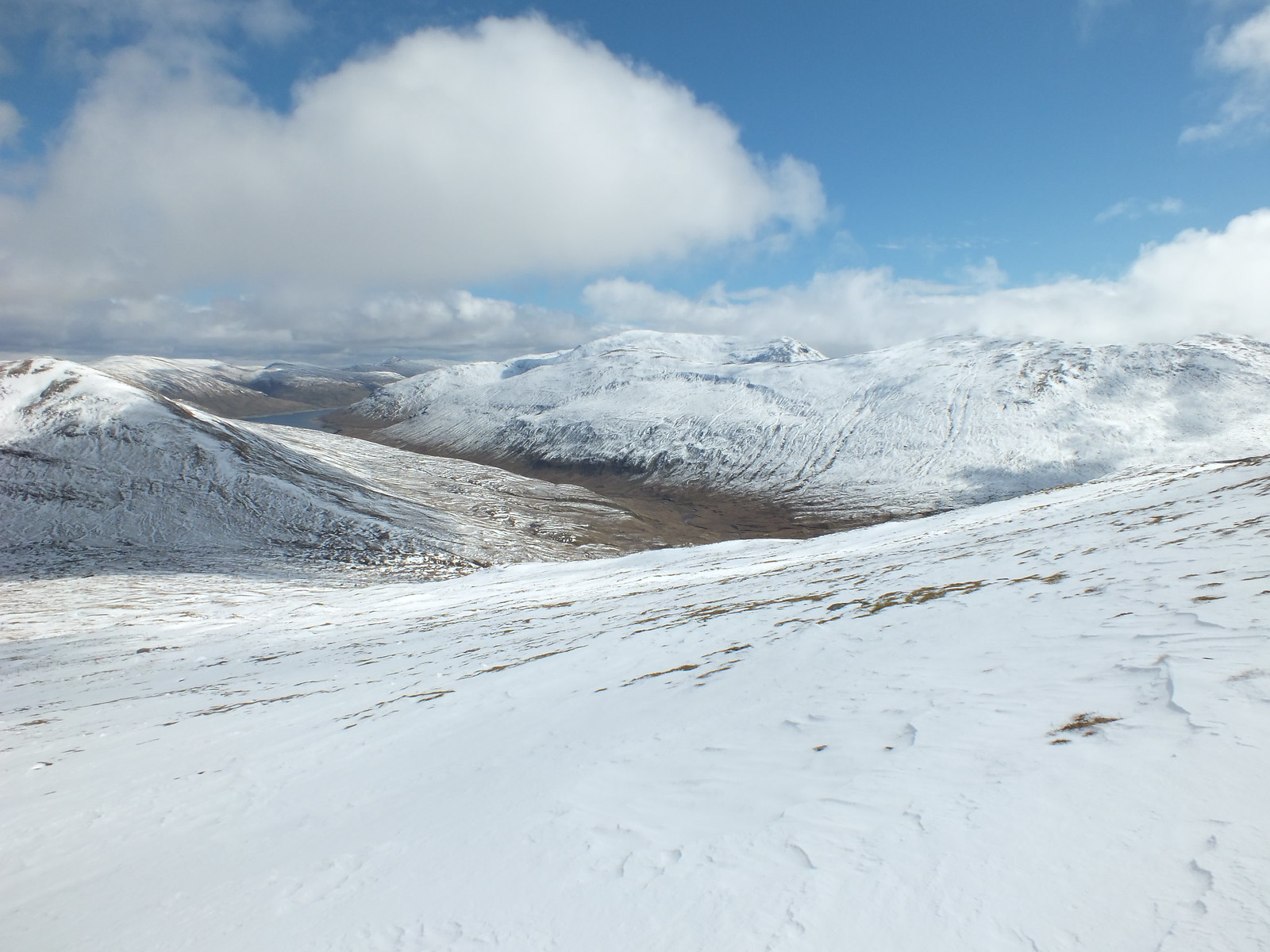
The way ahead & the first target Beinn a' Chaisteil
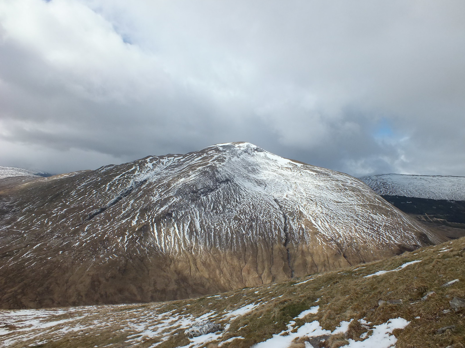
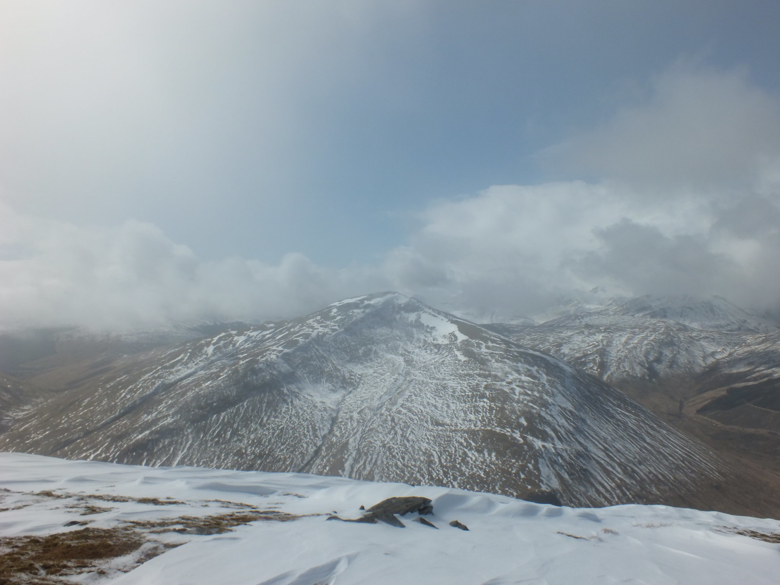
Beinn Dorain with a slight dusting higher up
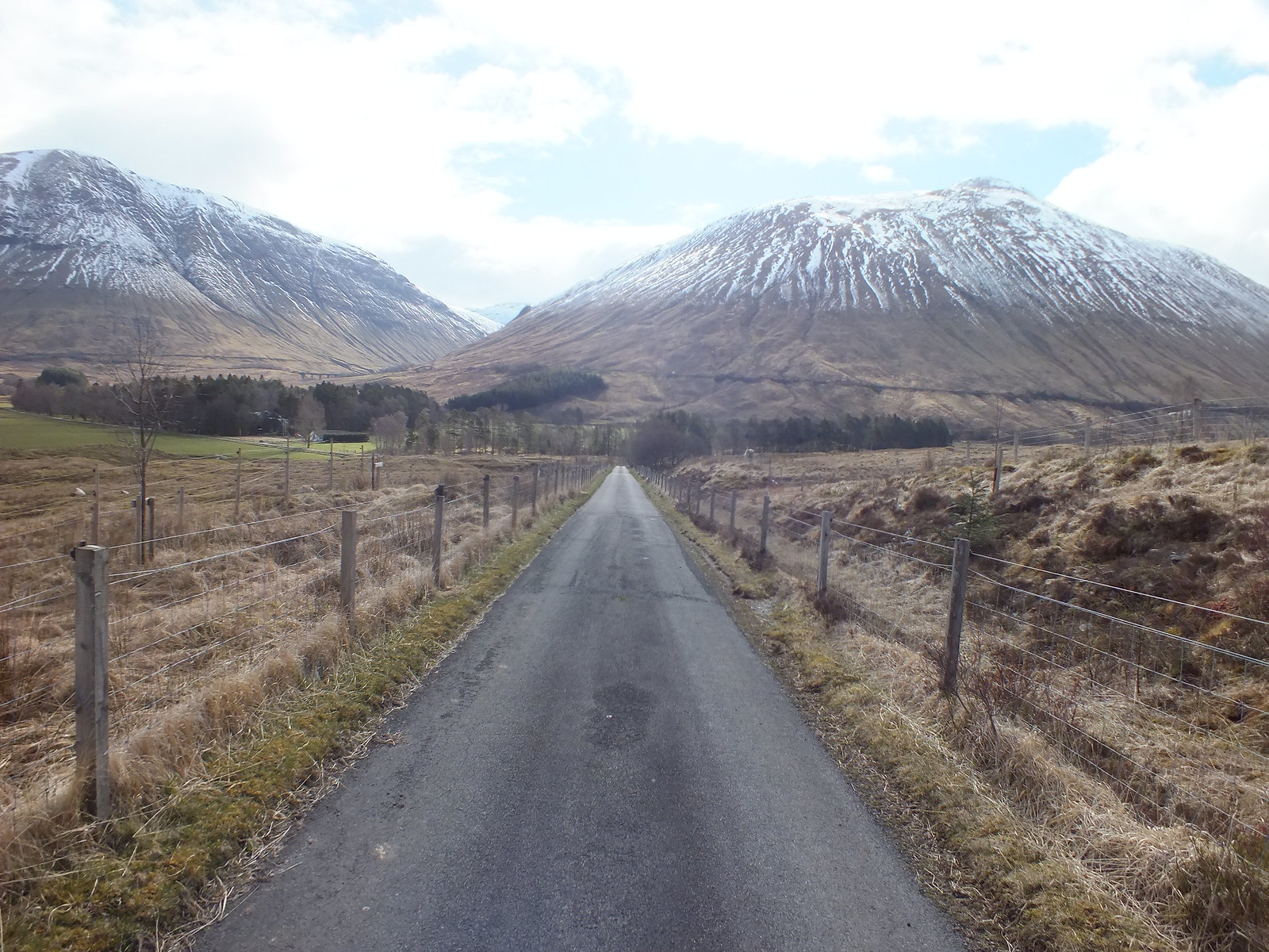
Good tarmac road initially
The initial part of the walk is along a very good track to the viaduct, the track forks and still makes good easy progress climbing slightly.
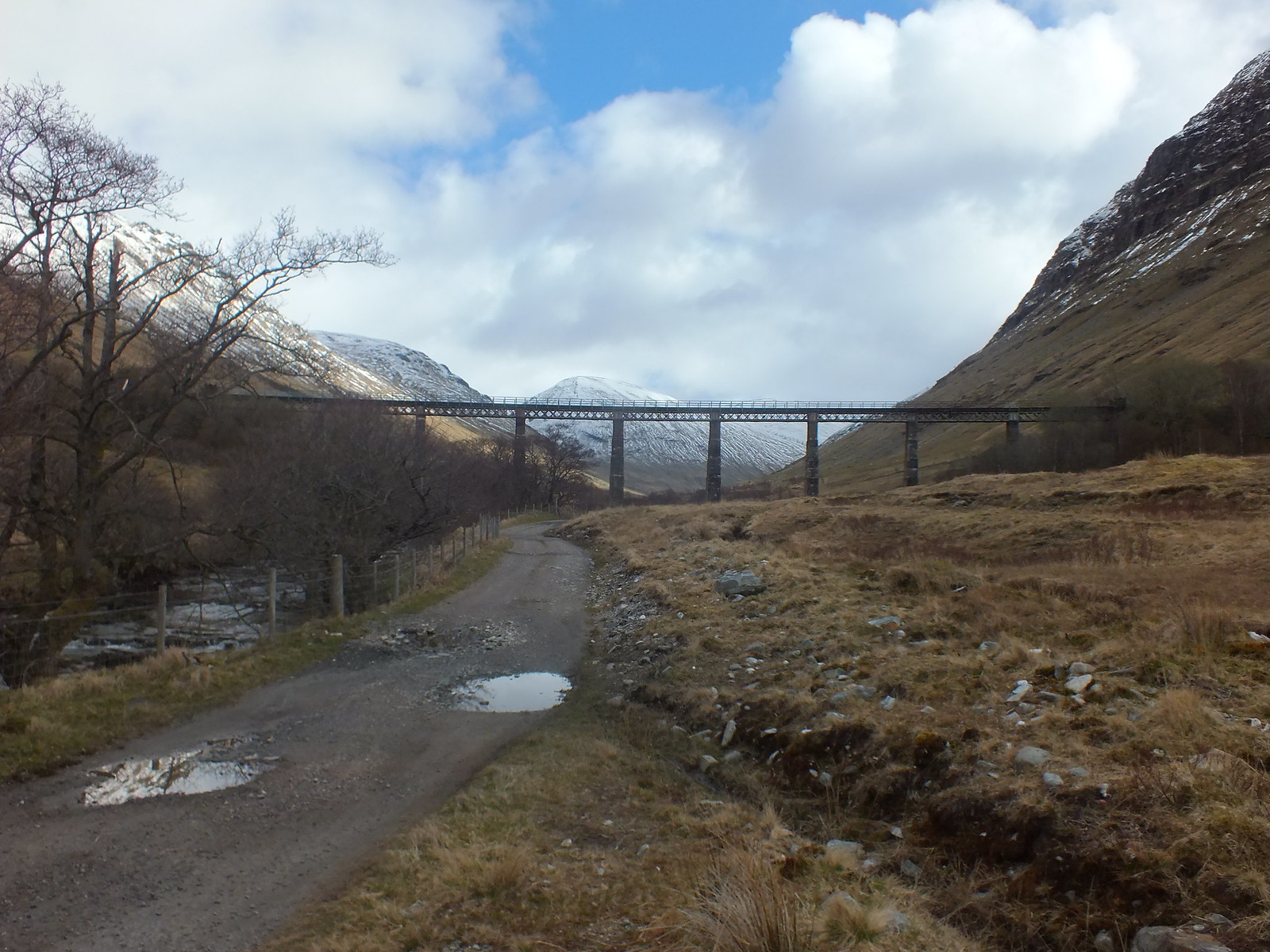
Railway viaduct for the train enthusiasts and Network Rail employee's

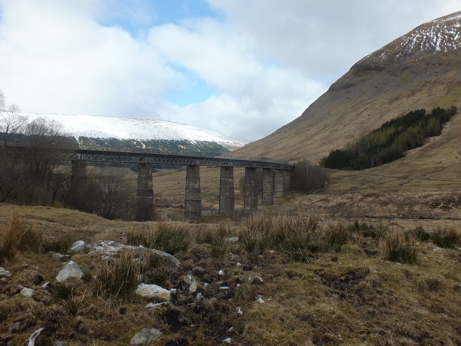
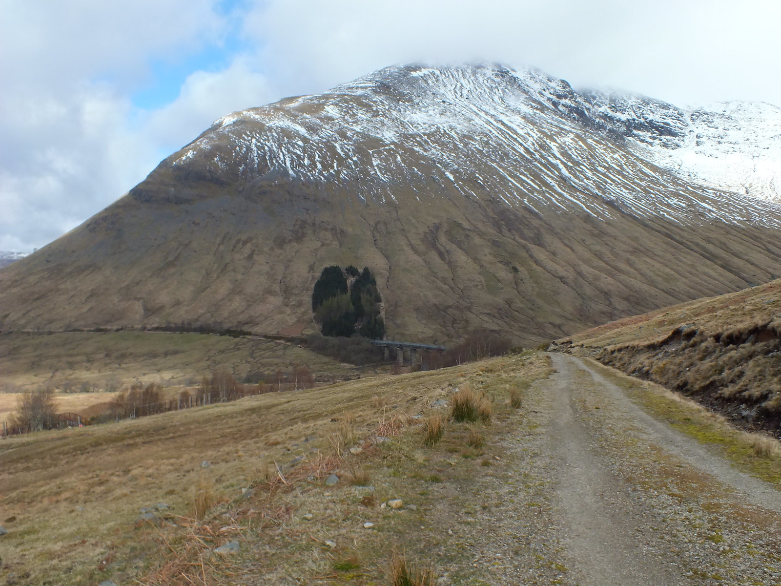
Different shot of the viaduct
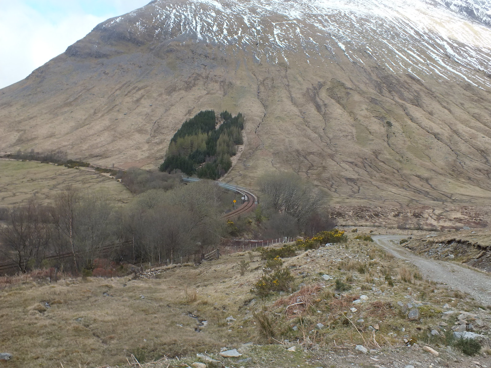
Railway line - nice curve
Beinn Dorain towering over the railway
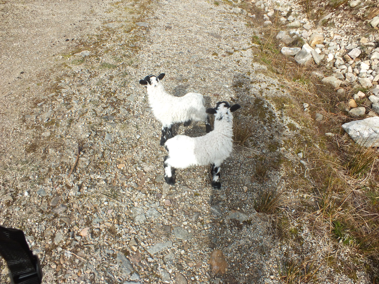
As I made good progress and the gradually rising track I came across a small family of sheep, mummy and 2 little lambs. The lambs obviously recognised me as a very friendly parent, which was nice, however this would become a bit of a problem. They decided to follow me and leave their mummy behind, I tried walking faster - that failed, right I would run surely that would work - that failed. I had to come up with another plan to "escape". I decided to wait for mummy to catch us up, although she didn't really take to me very much, she did call to her little darlings, thankfully they headed towards her and that was my opportunity to leave them in peace again
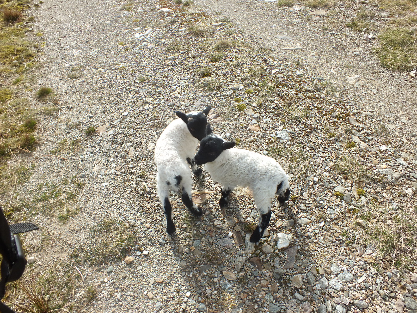
My 4 legged friends
Aaaah
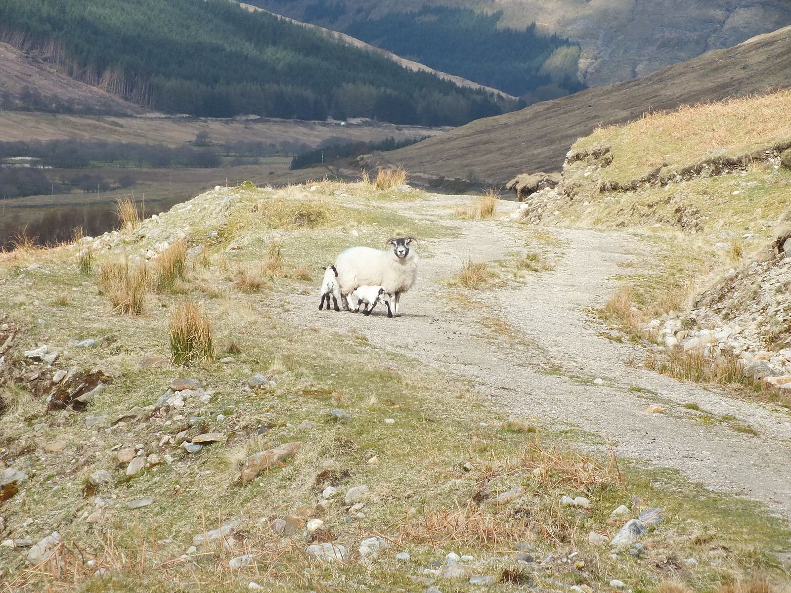
Reunited with mummy, thank goodness
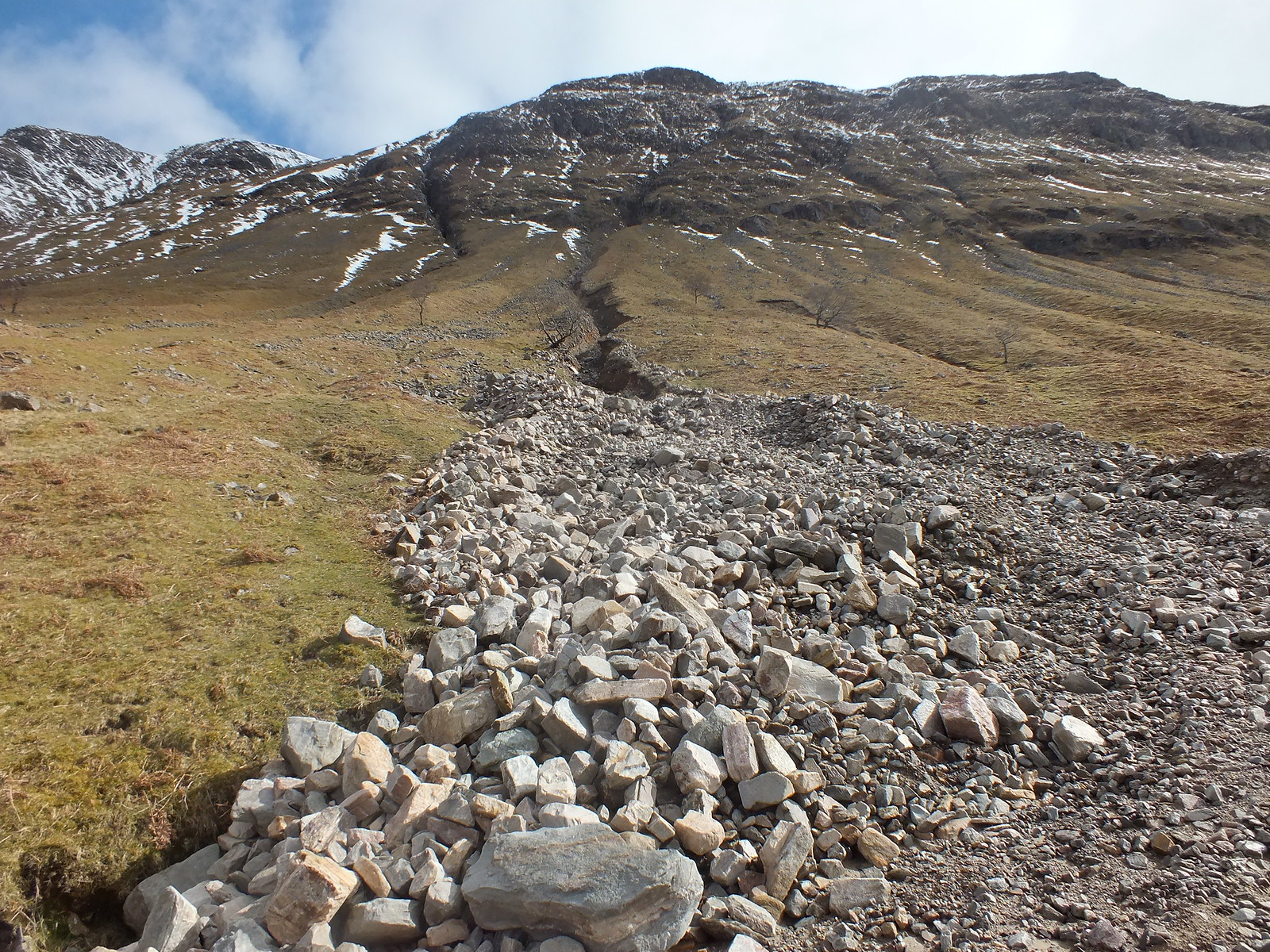
Land slip
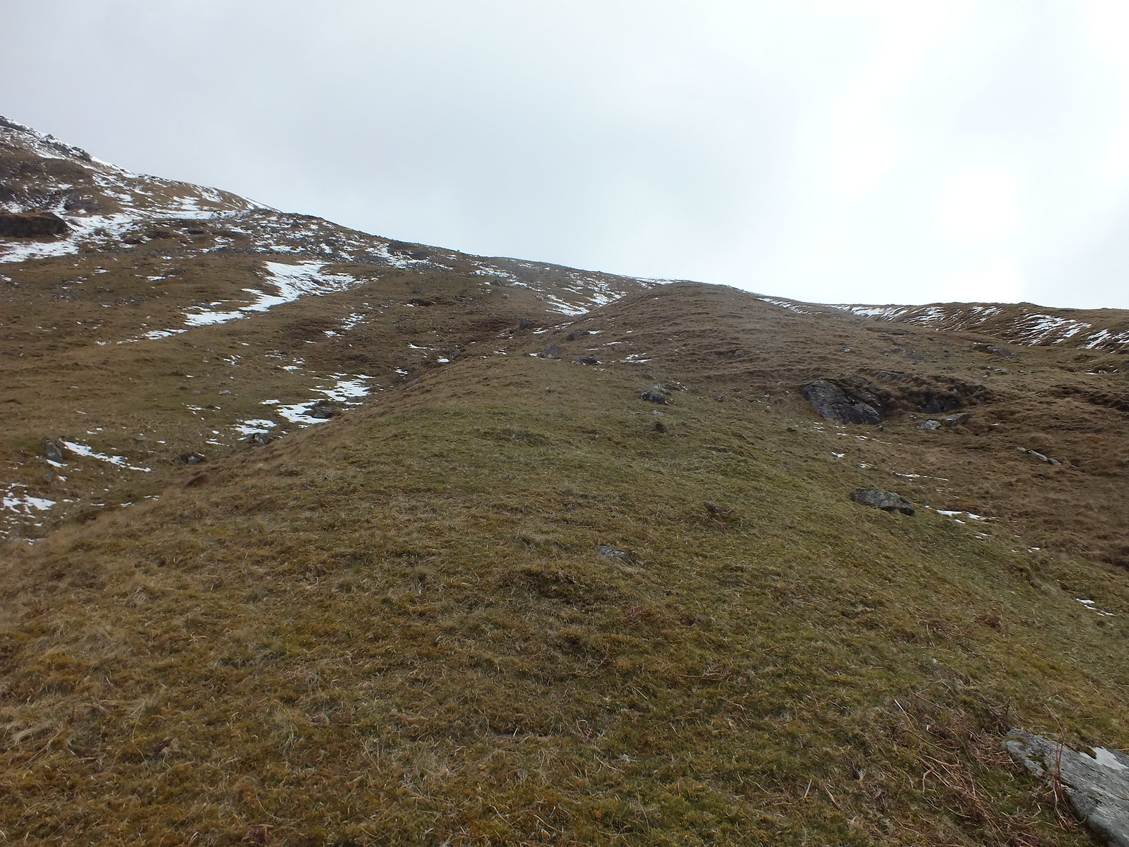
I eventually reached the point where I guessed I had to start the climb for real, it wasn't too long before I was huffing and puffing and my lack of recent hillwalking was very evident. I lost count of how many times I must have stopped to admire the views
Bits of the going up were rather steep and it wasn't long before I reached the bottom of the snow line.
Looking back from the steep grassy slope
Paths here there and everywhere
The way up/ahead
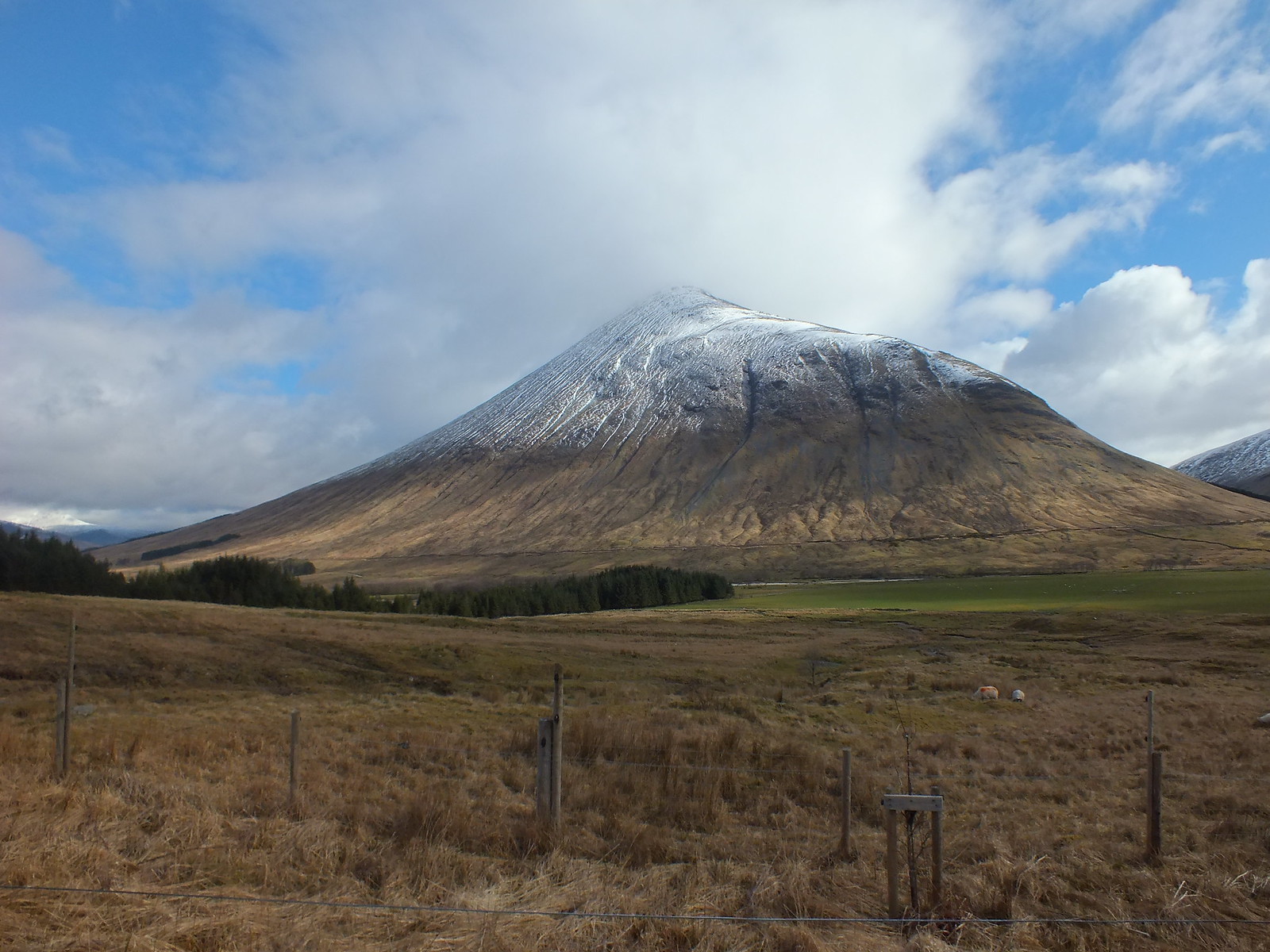
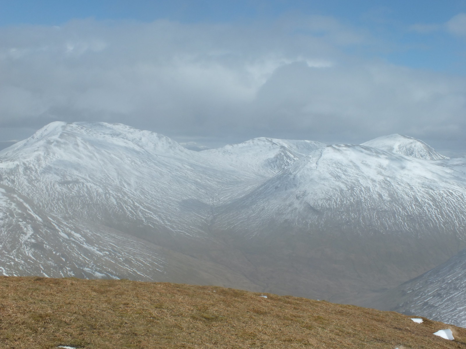
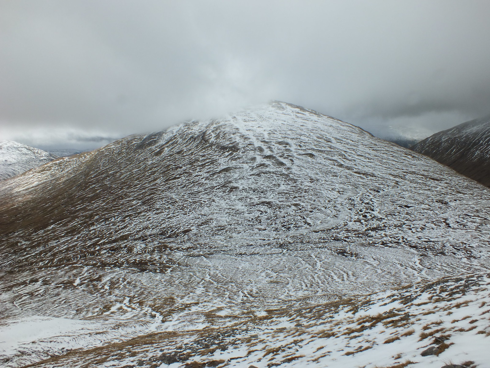
Beinn Odhar
Beinn Odhar on the right & Beinn Chaorach on the left
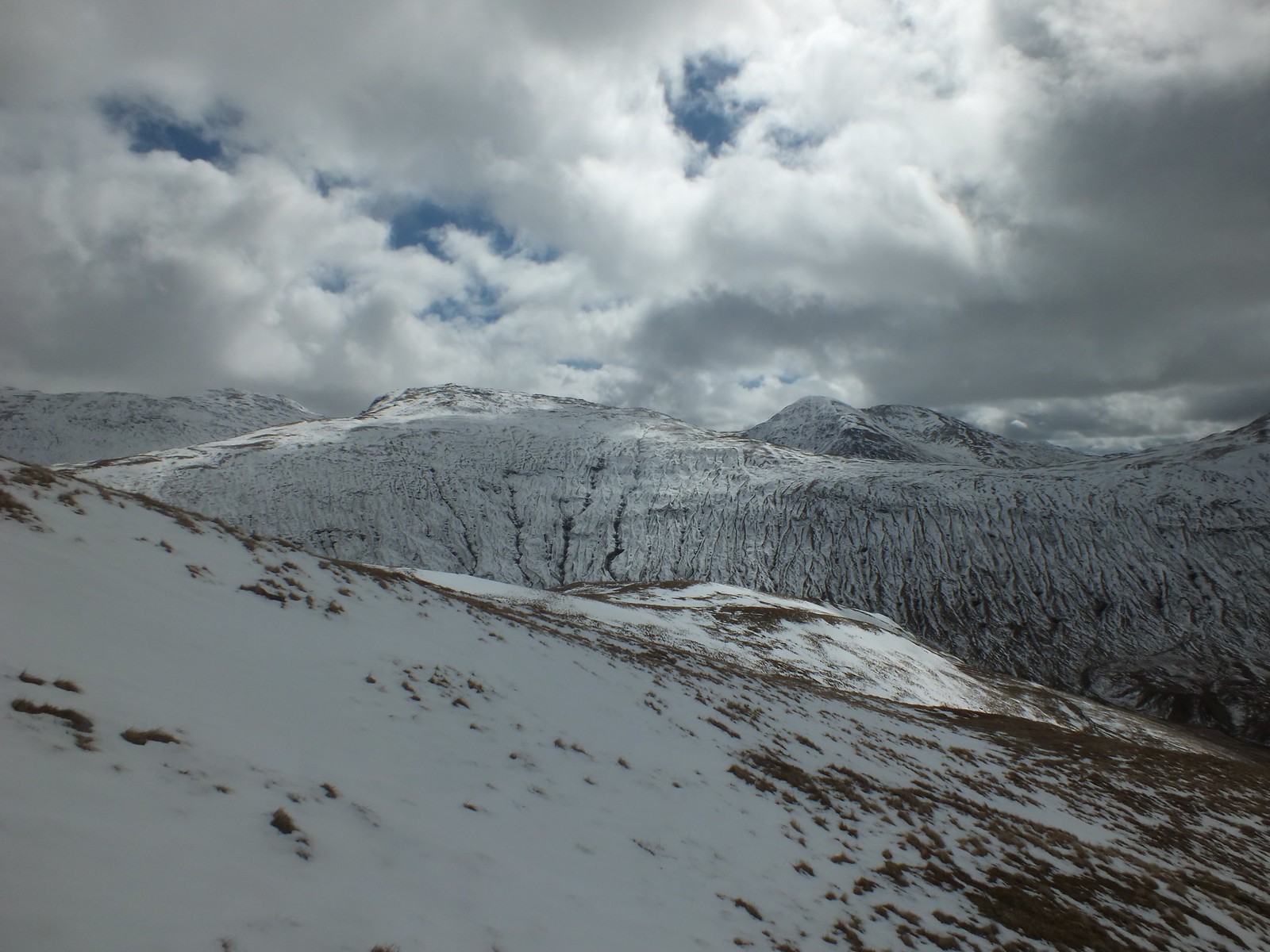
Looking south
East
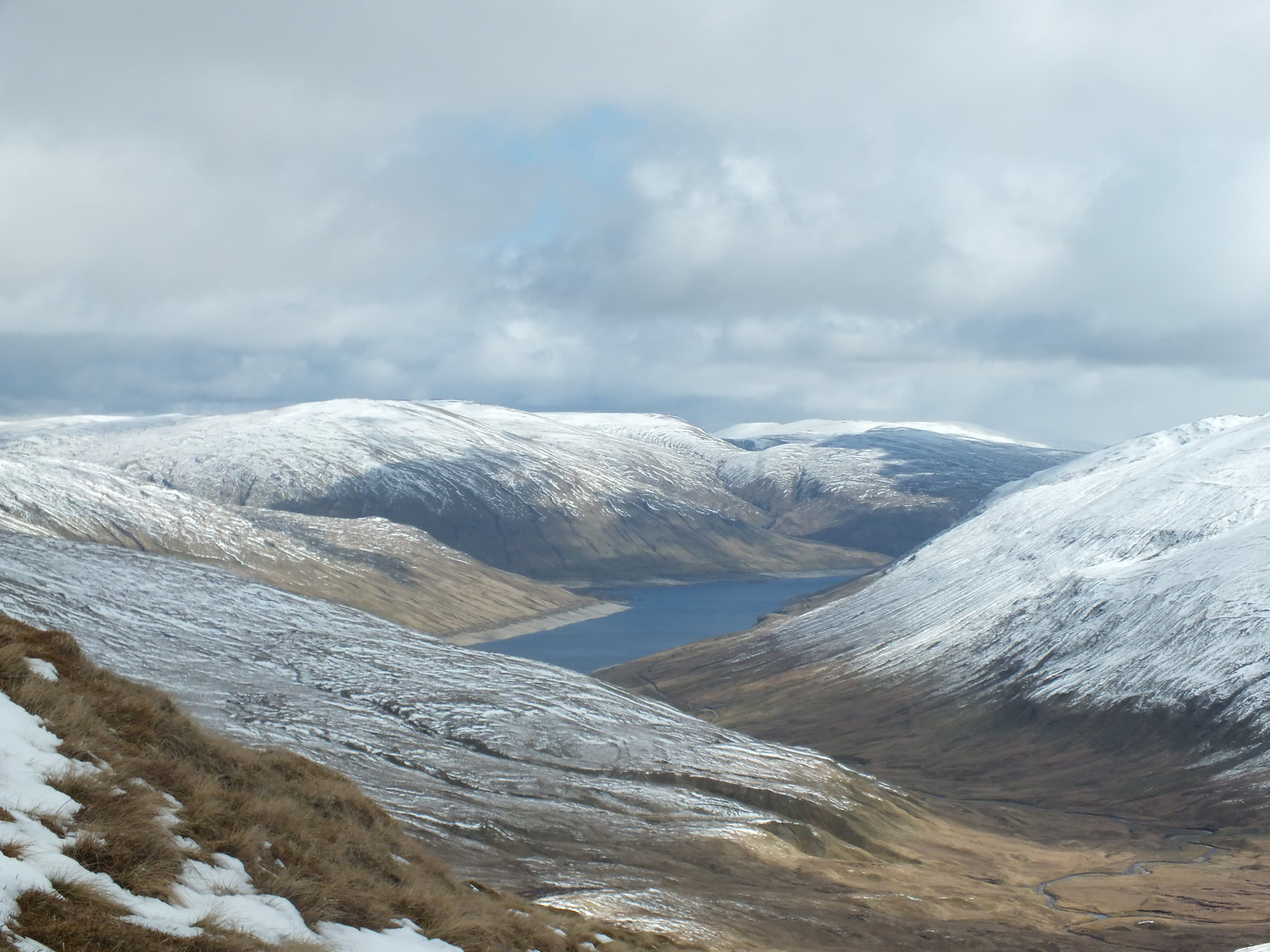
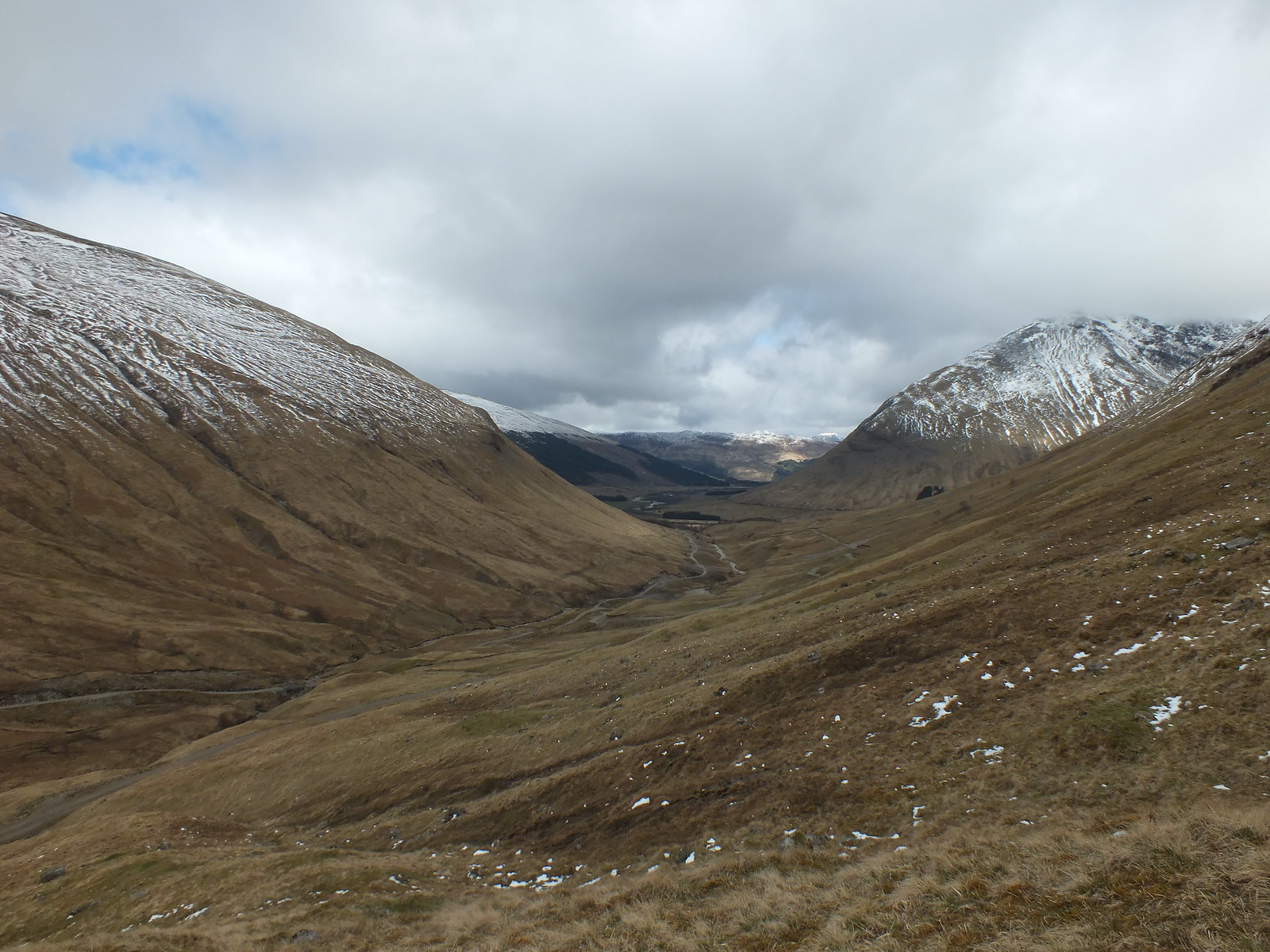
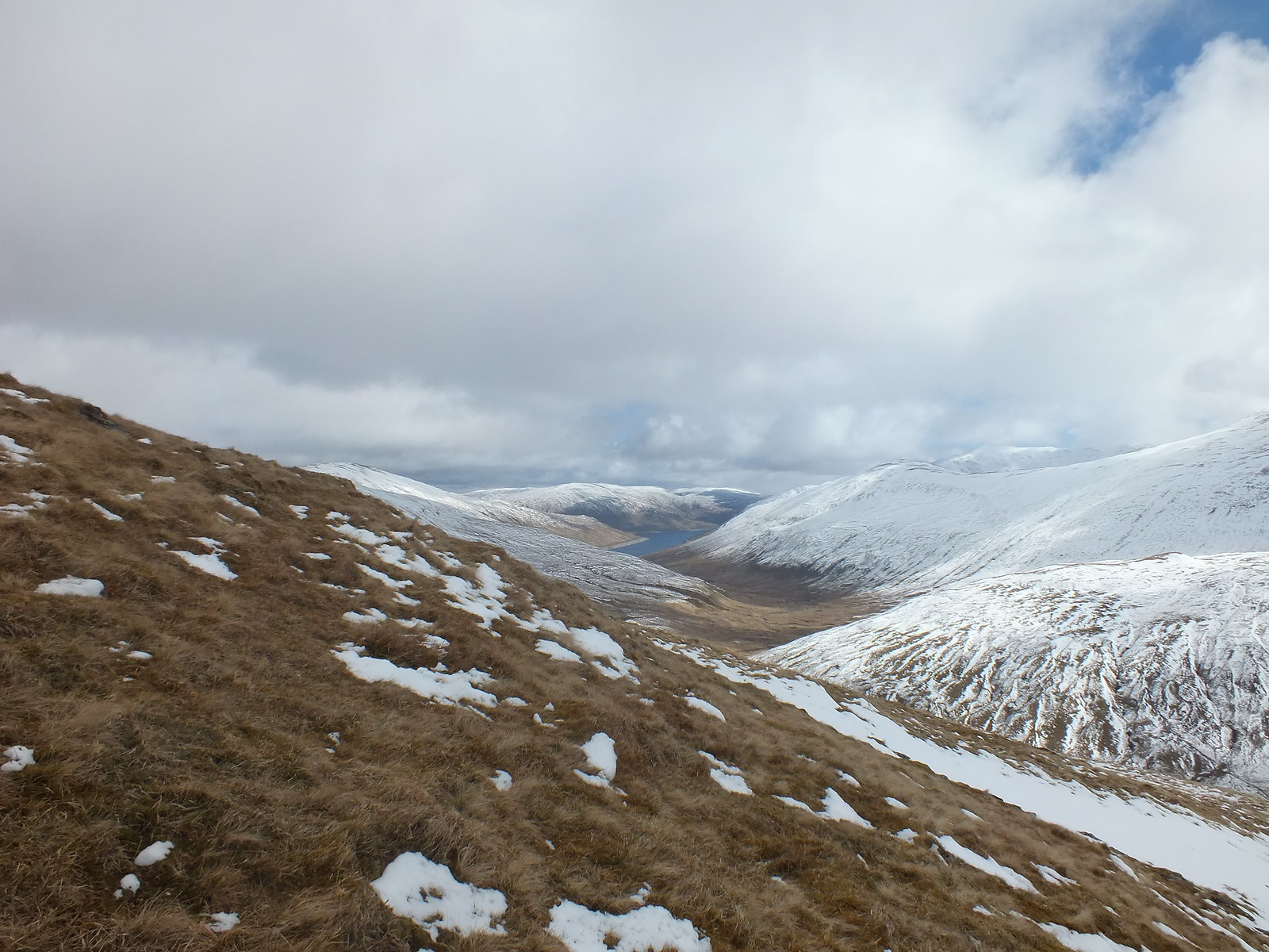
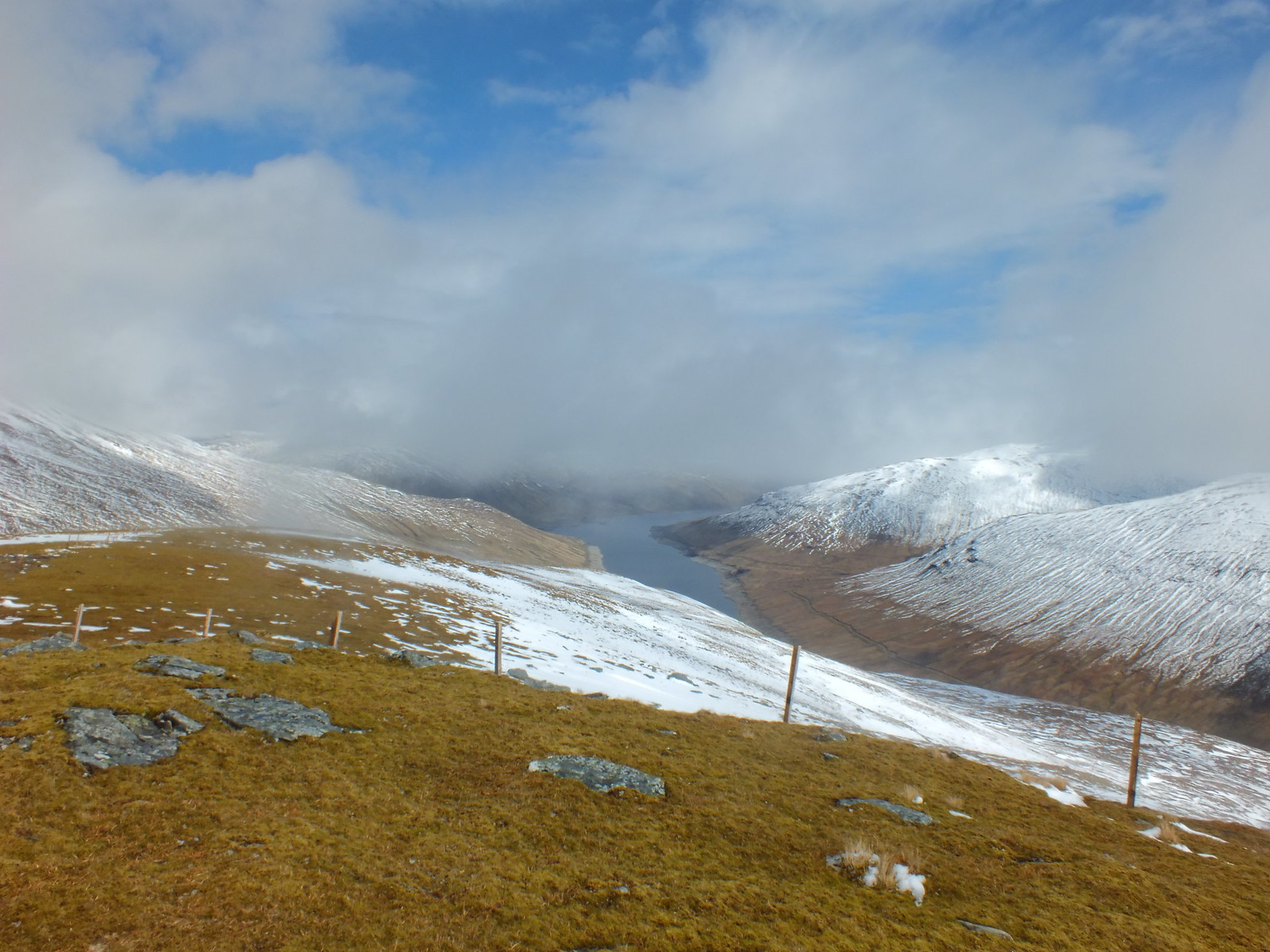
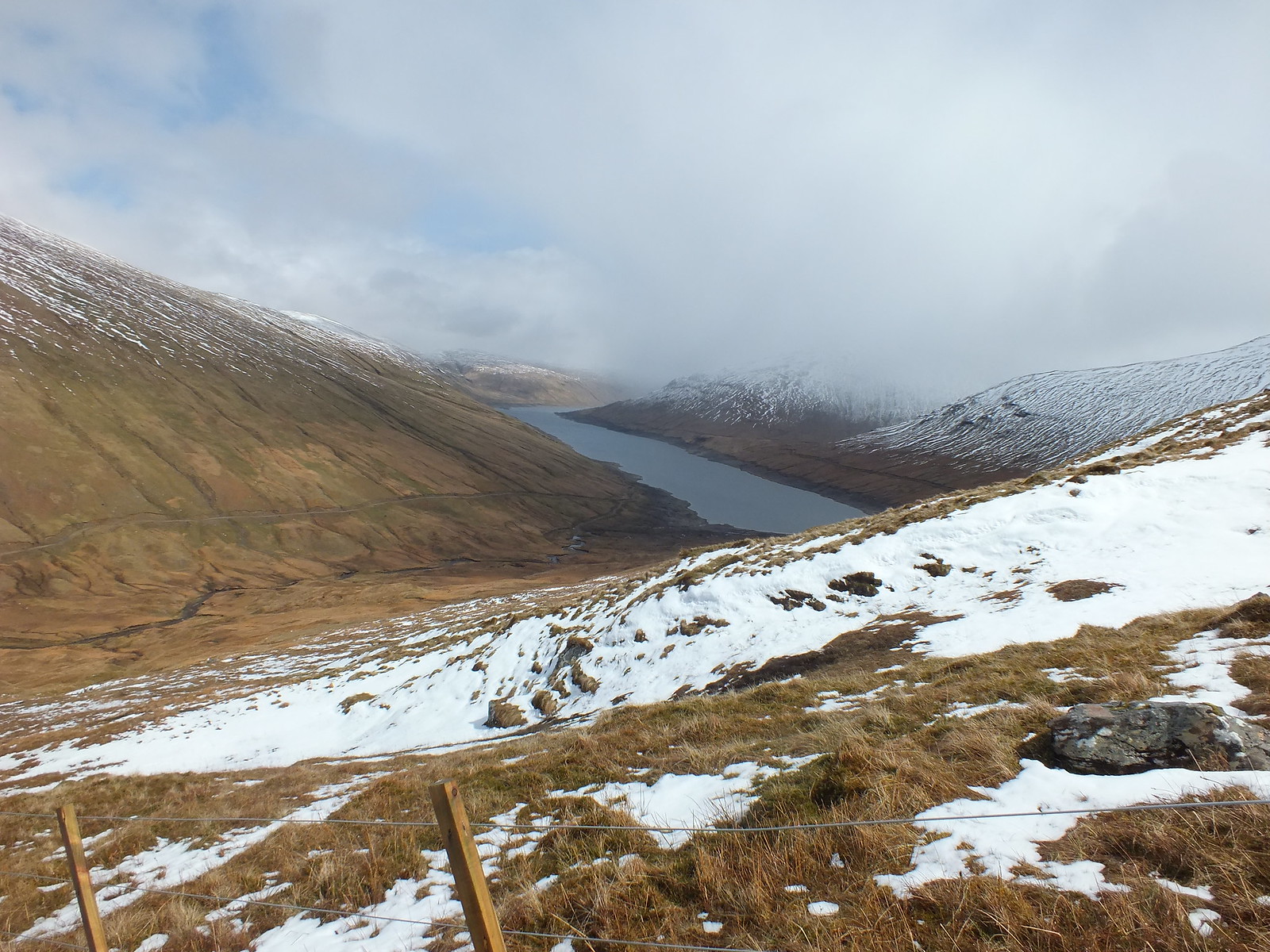
Loch Lyon
Low cloud heading in
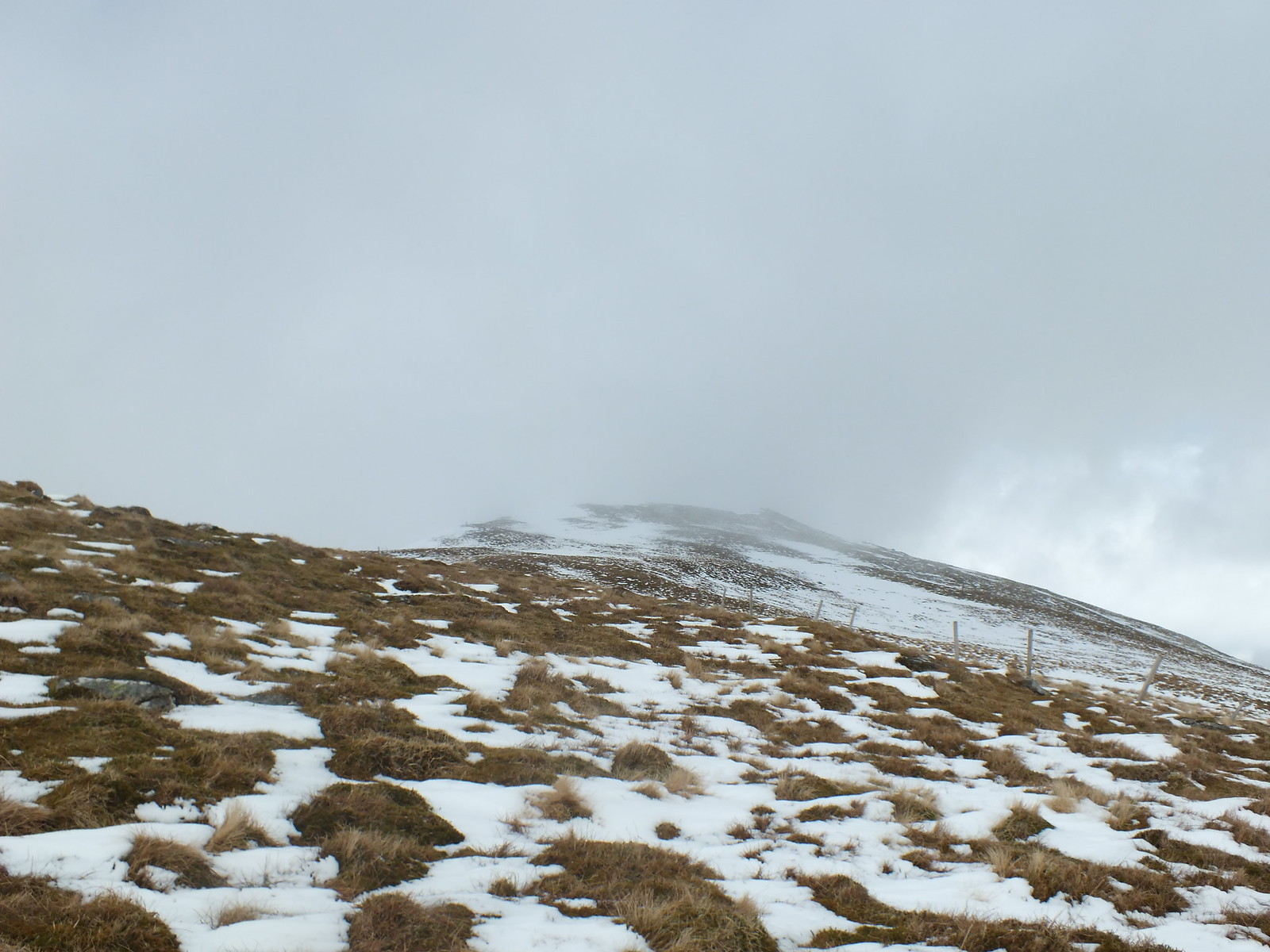
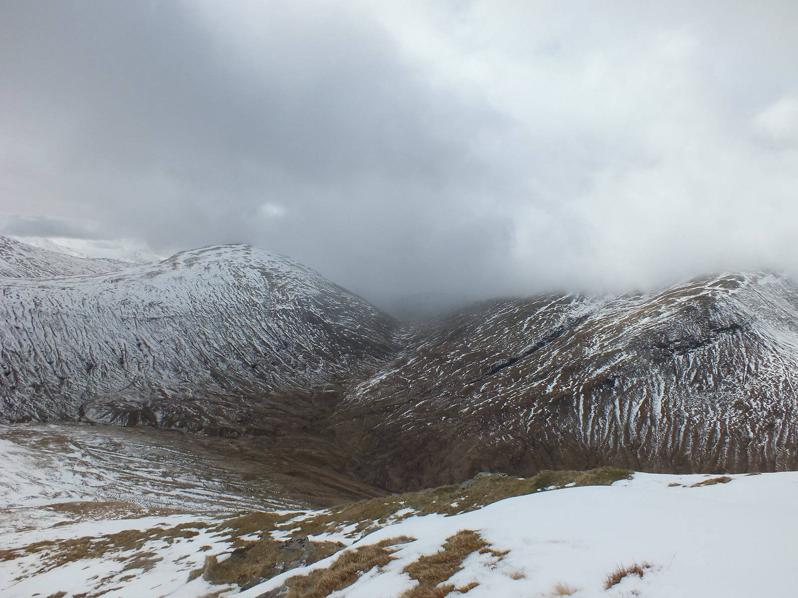
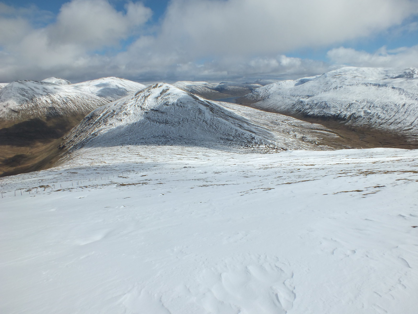
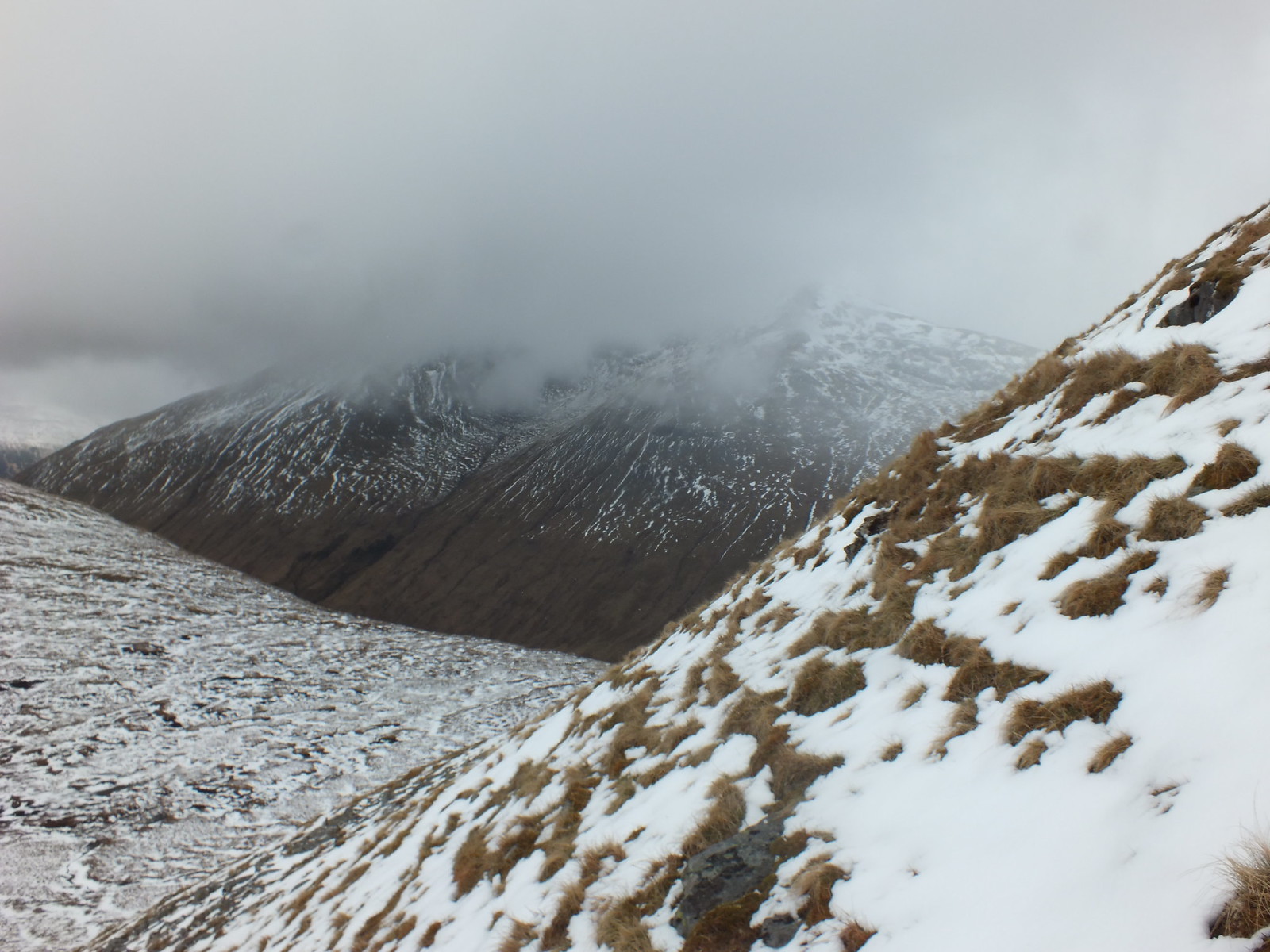
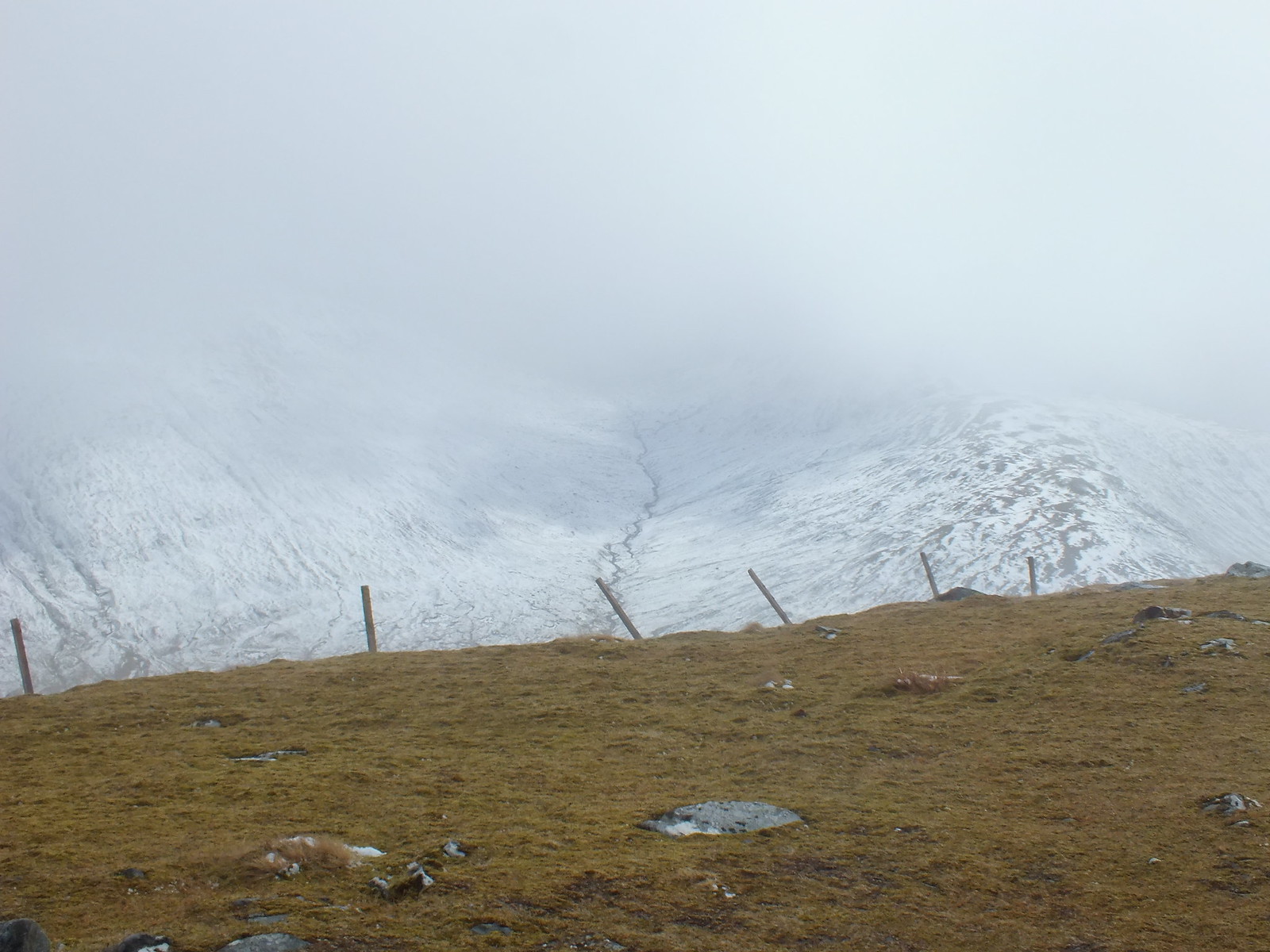
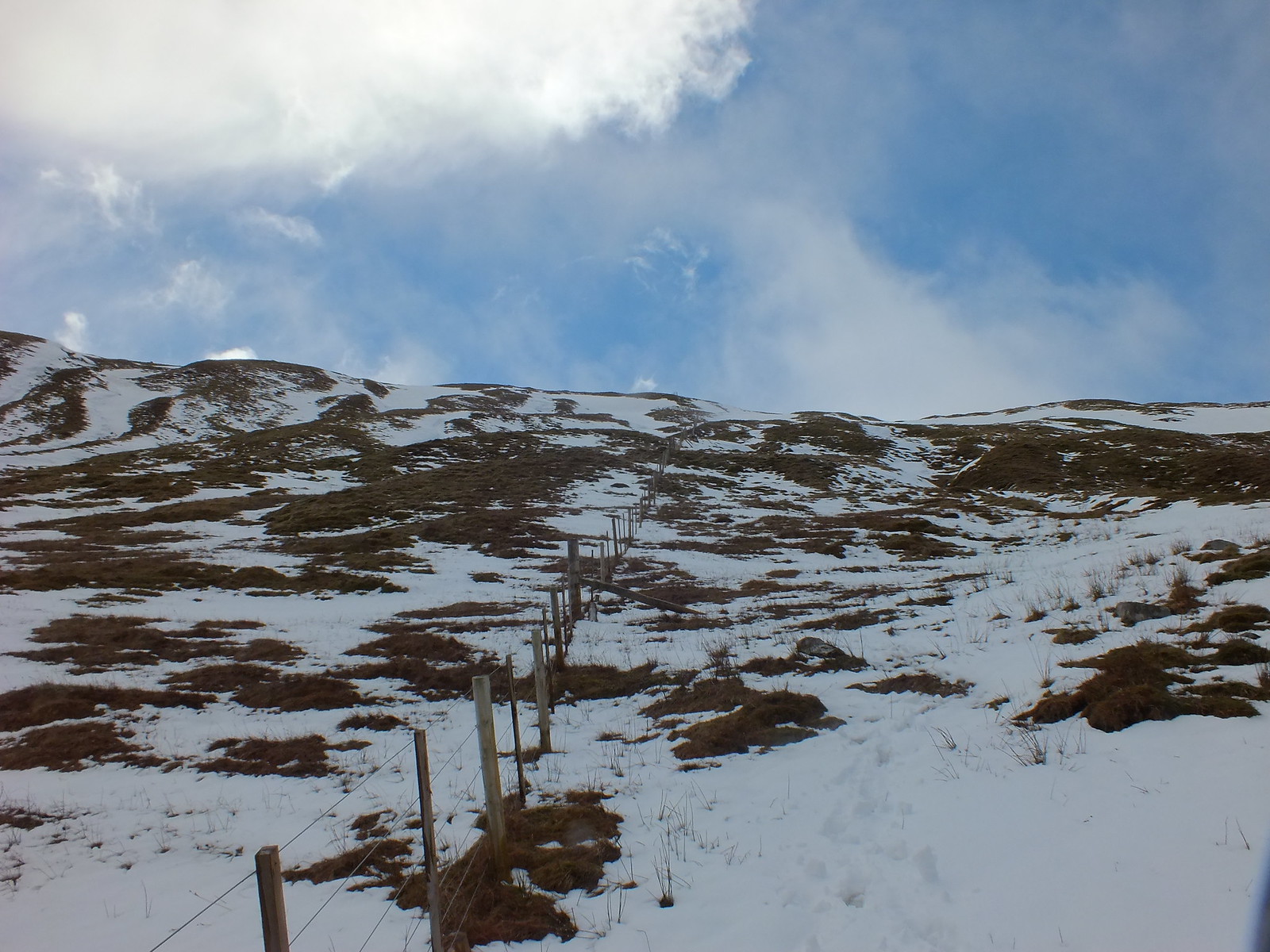
The way ahead, follow the fence
Looking back into the clag and deeper snow
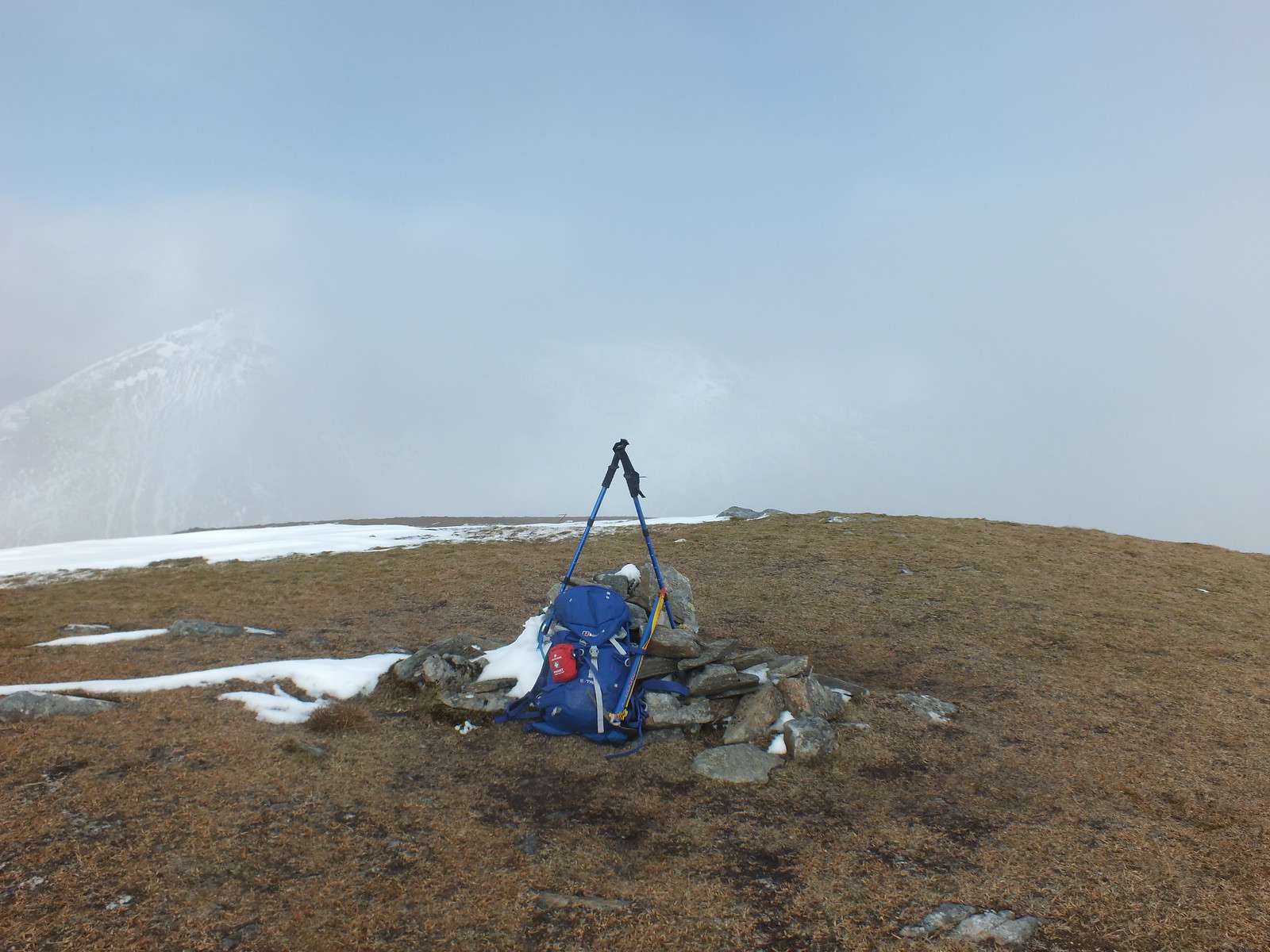
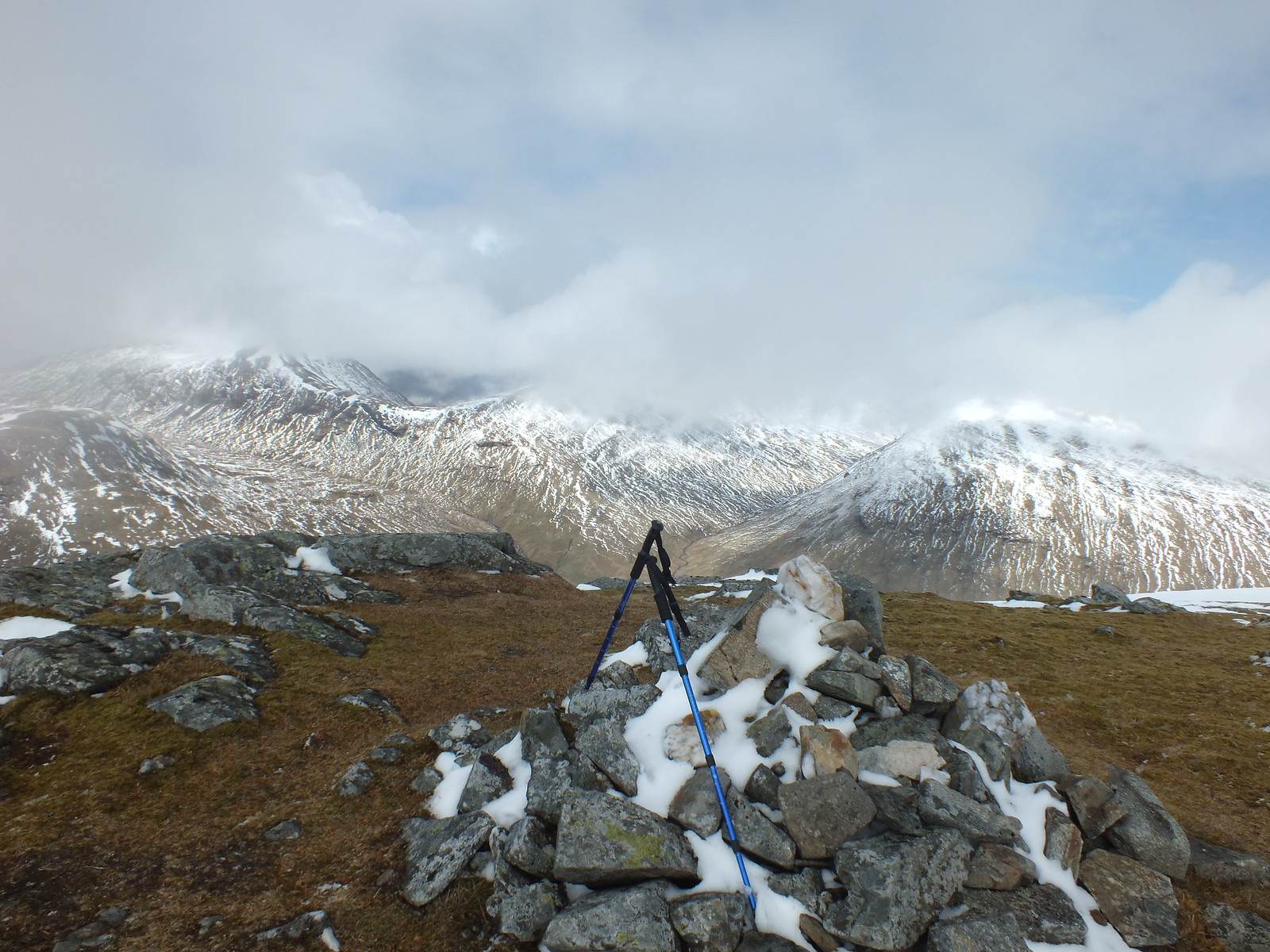
Small summit cairn on Beinn a' Chaisteil
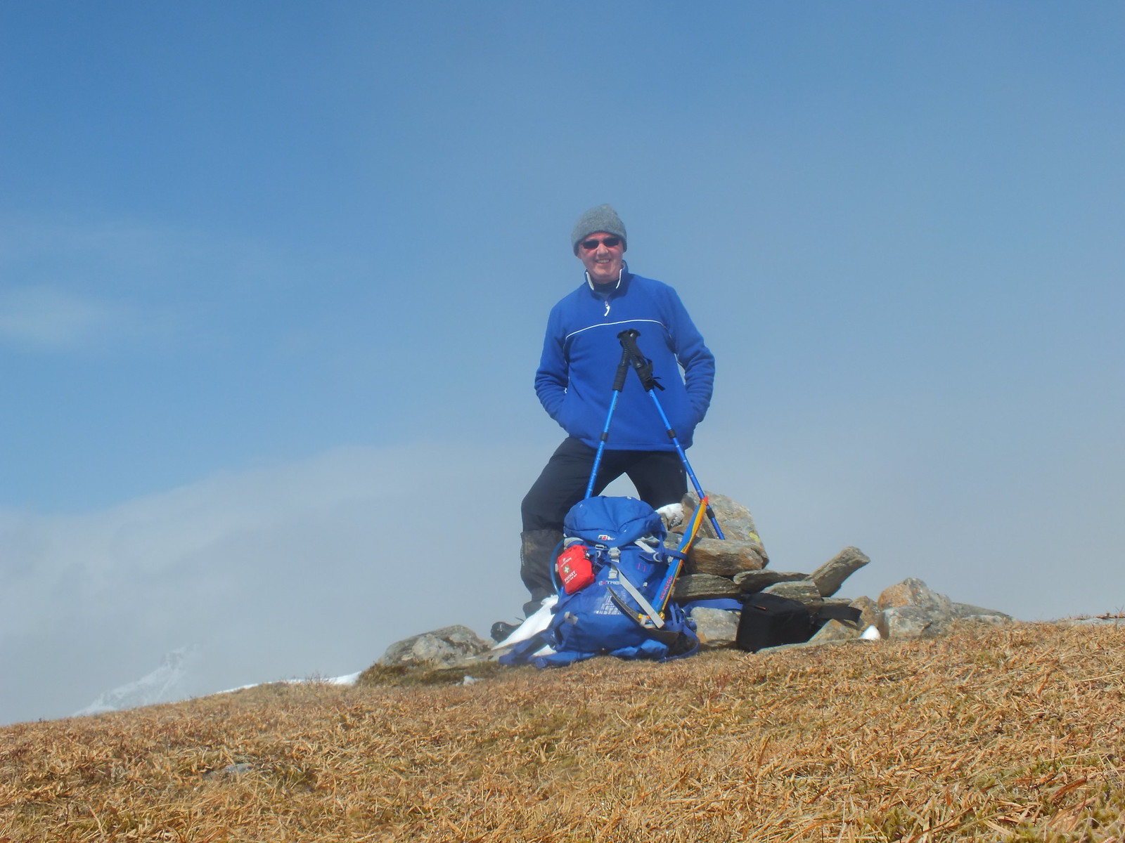
Summit selfie, not sure where that blue sky came from
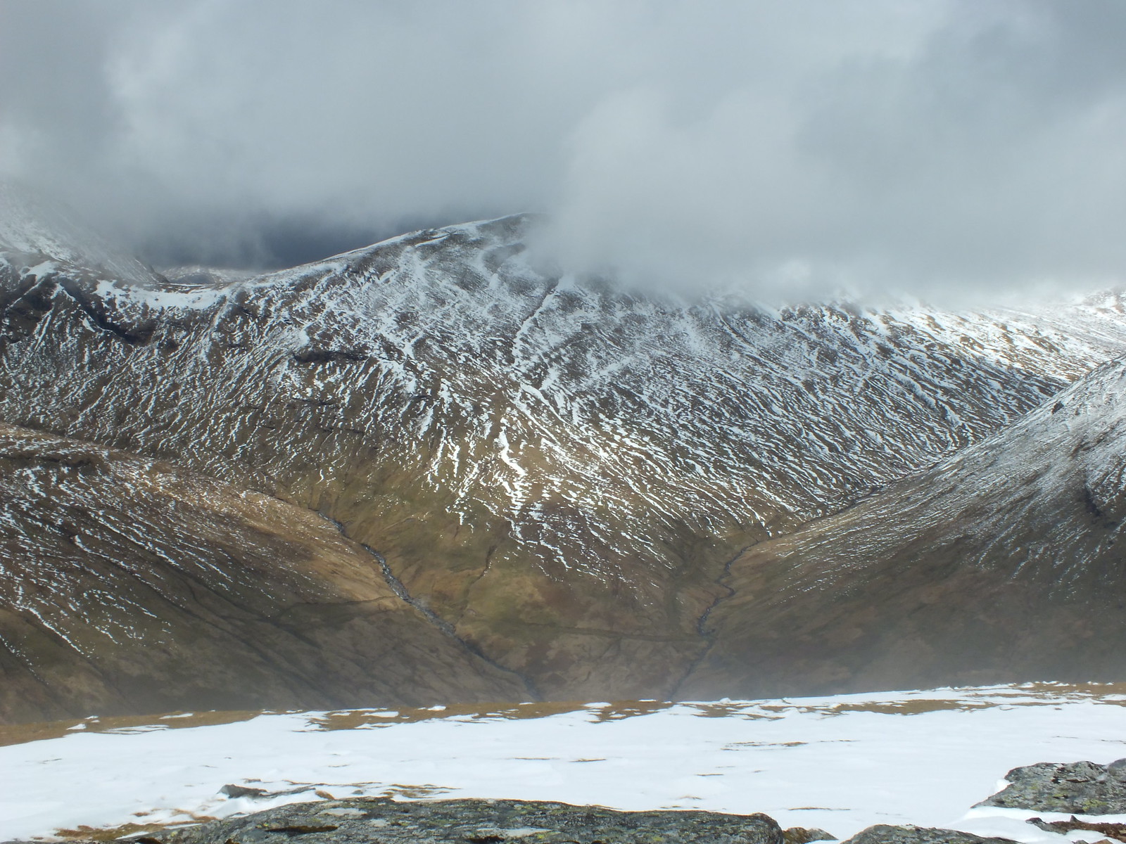
The weather as I reached summit couldn't make up it's mind what to do, blue sky one minute then cloud appeared to interfere with my photo's

Beinn Dorain again
My plan when I initially set off was to double back once I reached the 2nd summit, mainly to avoid the several ford crossings and it would also be much shorter distance wise. The plan was slightly flawed in that the descent of 300m plus to the bealach and the underfoot conditions kicked that plan into touch
The decision to change the plan was certainly re-enforced when I started the climb of Beinn nam Fuaran. When you look down on it in the distance from Beinn a' Chaisteil it looked very easy and not overly exciting. I was beginning to wonder if I had read the walk description correctly
However once the ascent began the word steep that was mentioned, is now seconded by yours truly
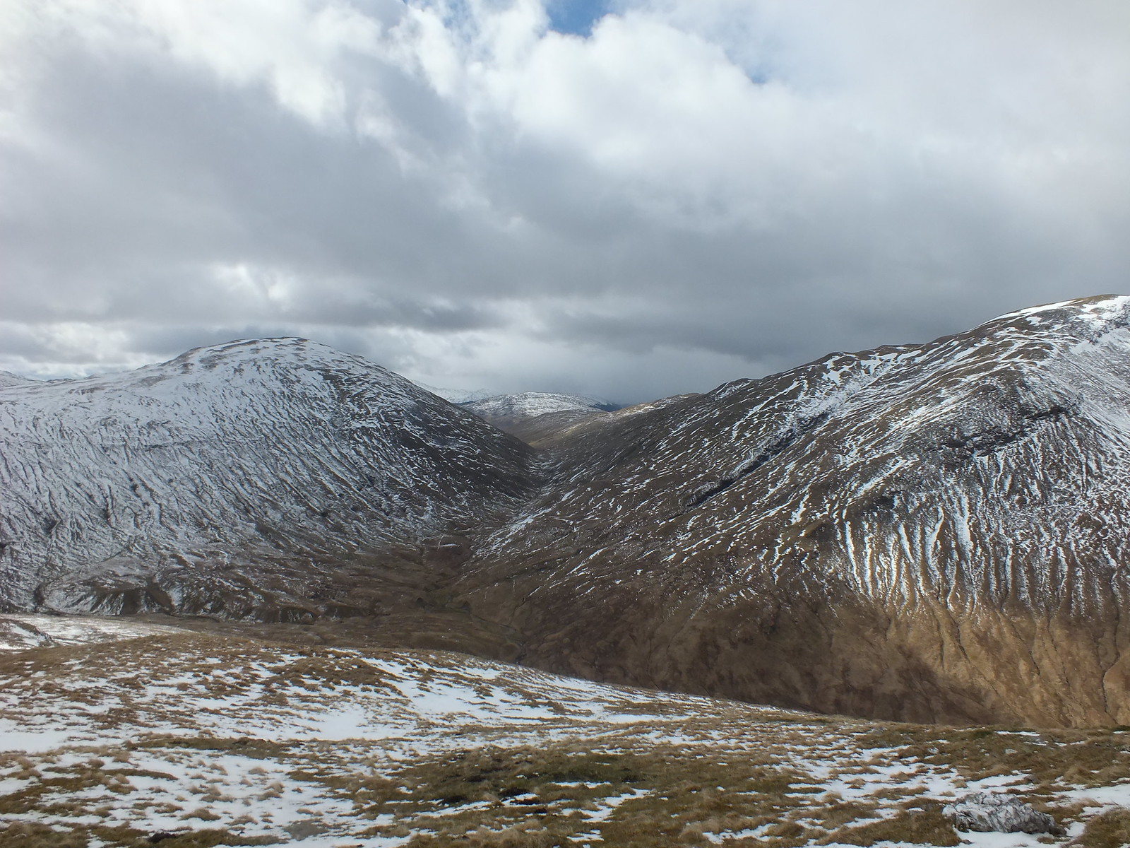
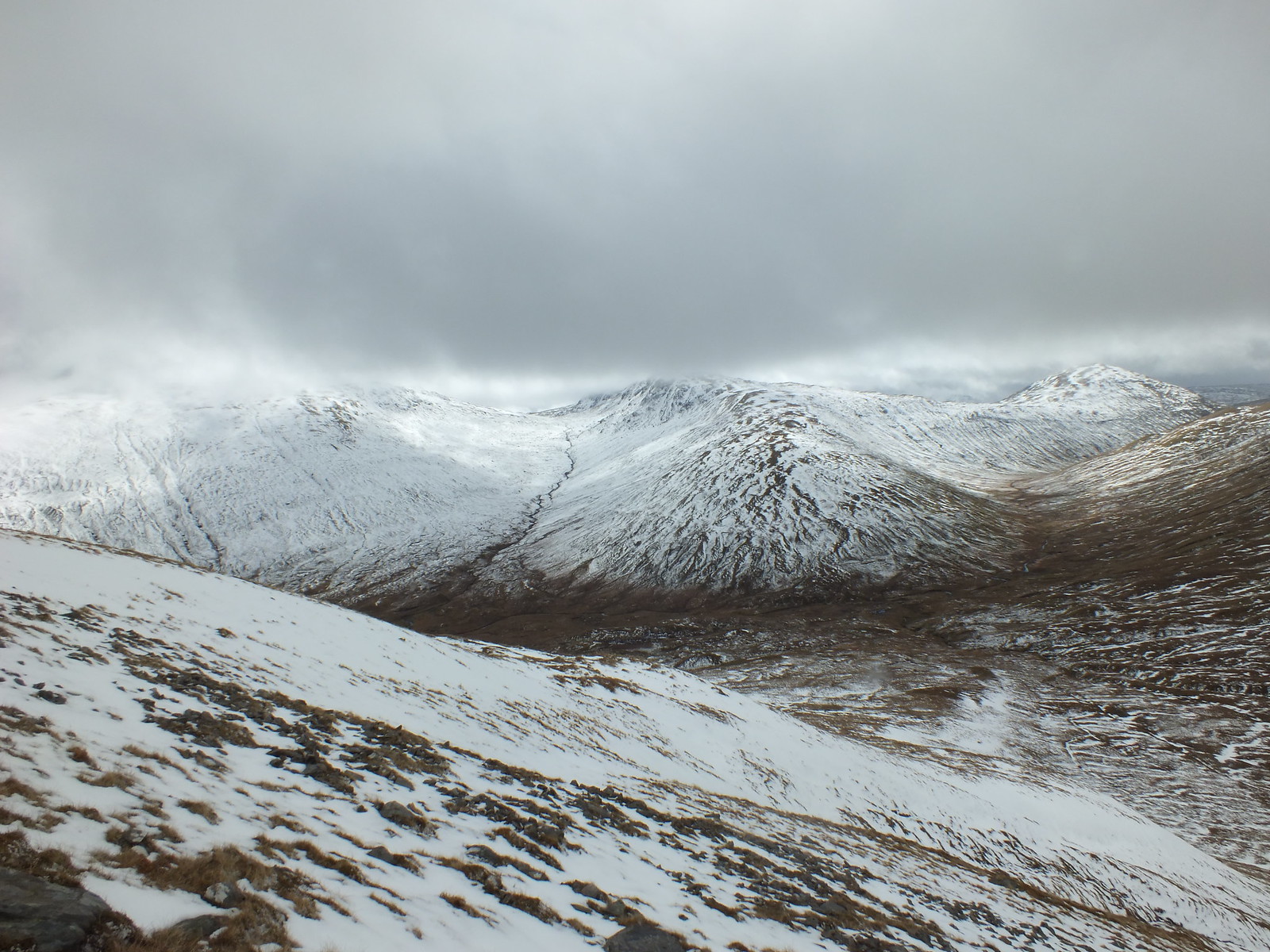
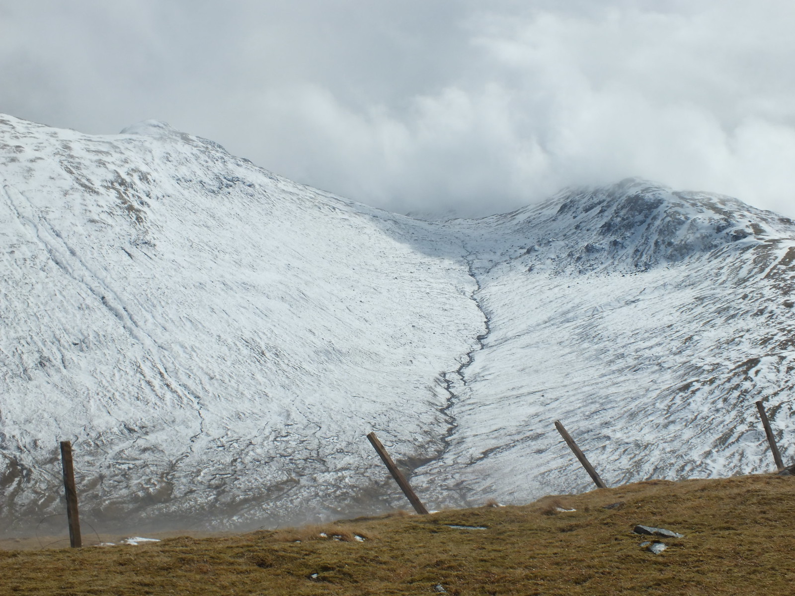
Looking across to the next target, looked easy, but it wasn't
The way down and then up, much more snow on the eastern side
Looking across to Loch Lyon in the distance
Looking down on the bealach, doesn't show how boggy it is
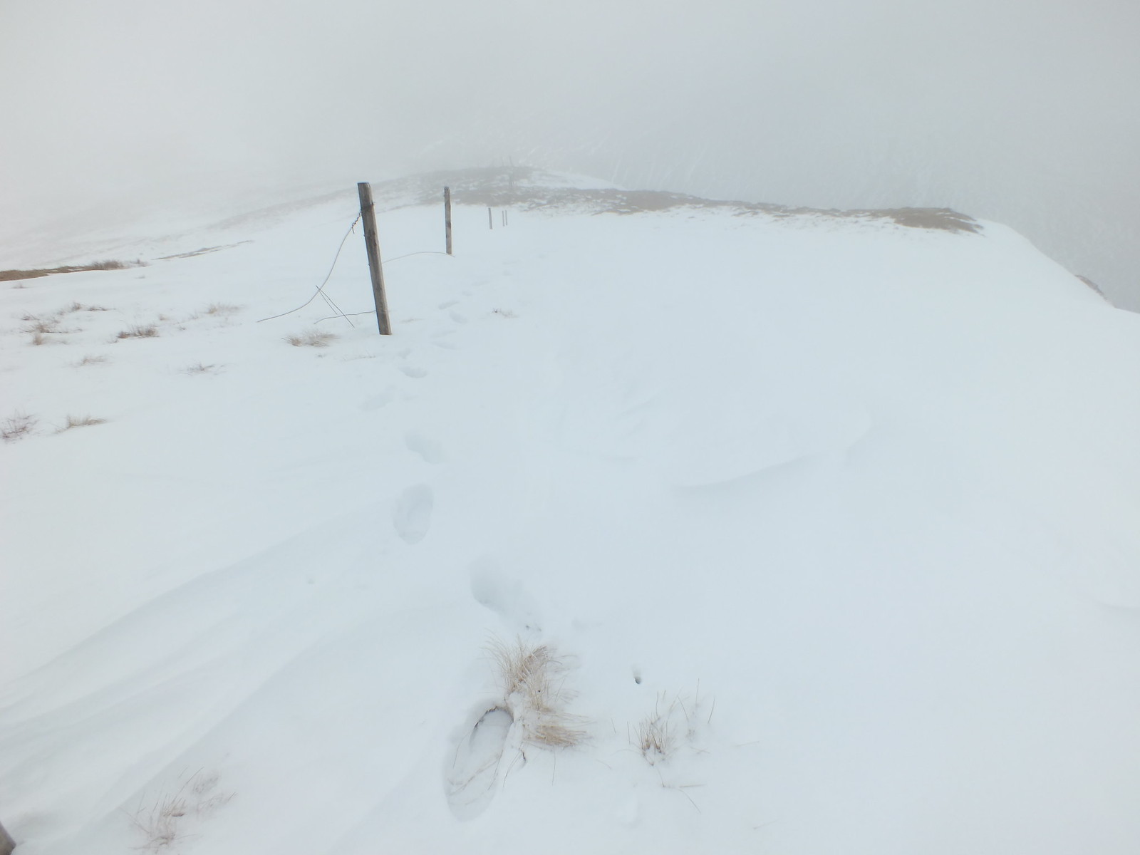
The camera was bagged when I reached the bealach as a 'substantial' snow shower welcomed me
I think I was very fortunate with the underfoot conditions, the snow covering meant that the peat hags and boggy area wasn't as bad as it no doubt could be
Indicates the angle of ascent up Beinn nam Fuaran
Looking across to Allt Kinglass
Summit cairn on Beinn nam Fuaran
Clag on it's way again
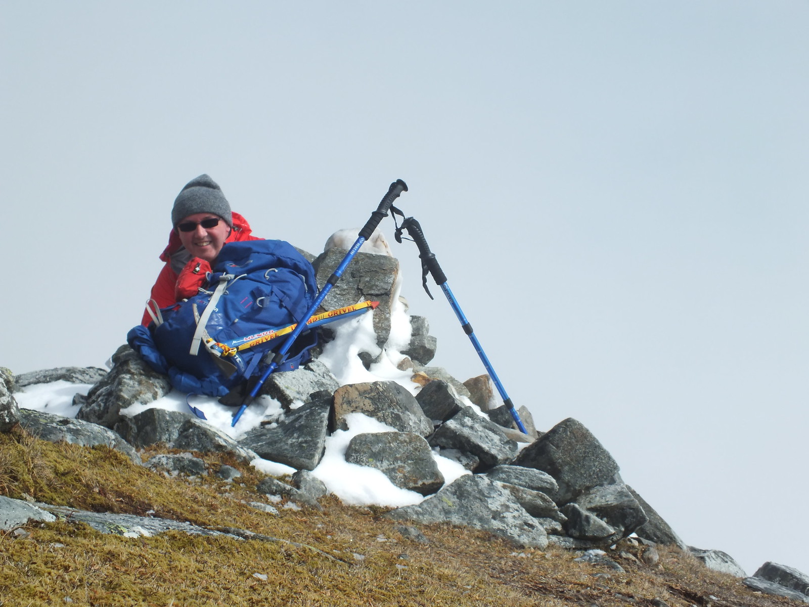
Low level selfie
Allt Kinglass zoomed
The summit of Beinn nam Fuaran was reached and yet again the weather was in a changeable mood, after a few photo's I headed down the shoulder following the fence posts. It wasn't too long before I reached the fence post junction and I wasn't overly convinced this was where I was start descending for real - mainly because the fence looked fairly new. I took the decision to head down thinking that if a fence can be placed on the hillside, then I can certainly descend with it. My main concern whilst descending was the soft snow and very damp tufty grass, when you put the two together that is a certain recipe to end up on one's backside
I had a few close shaves, but my poles did the job they are supposed to do and kept my bottom dry
The way ahead & down
More fenceposts
Looking back up to the fenceposts
The way down, follow the fence
Loch Lyon a bit closer
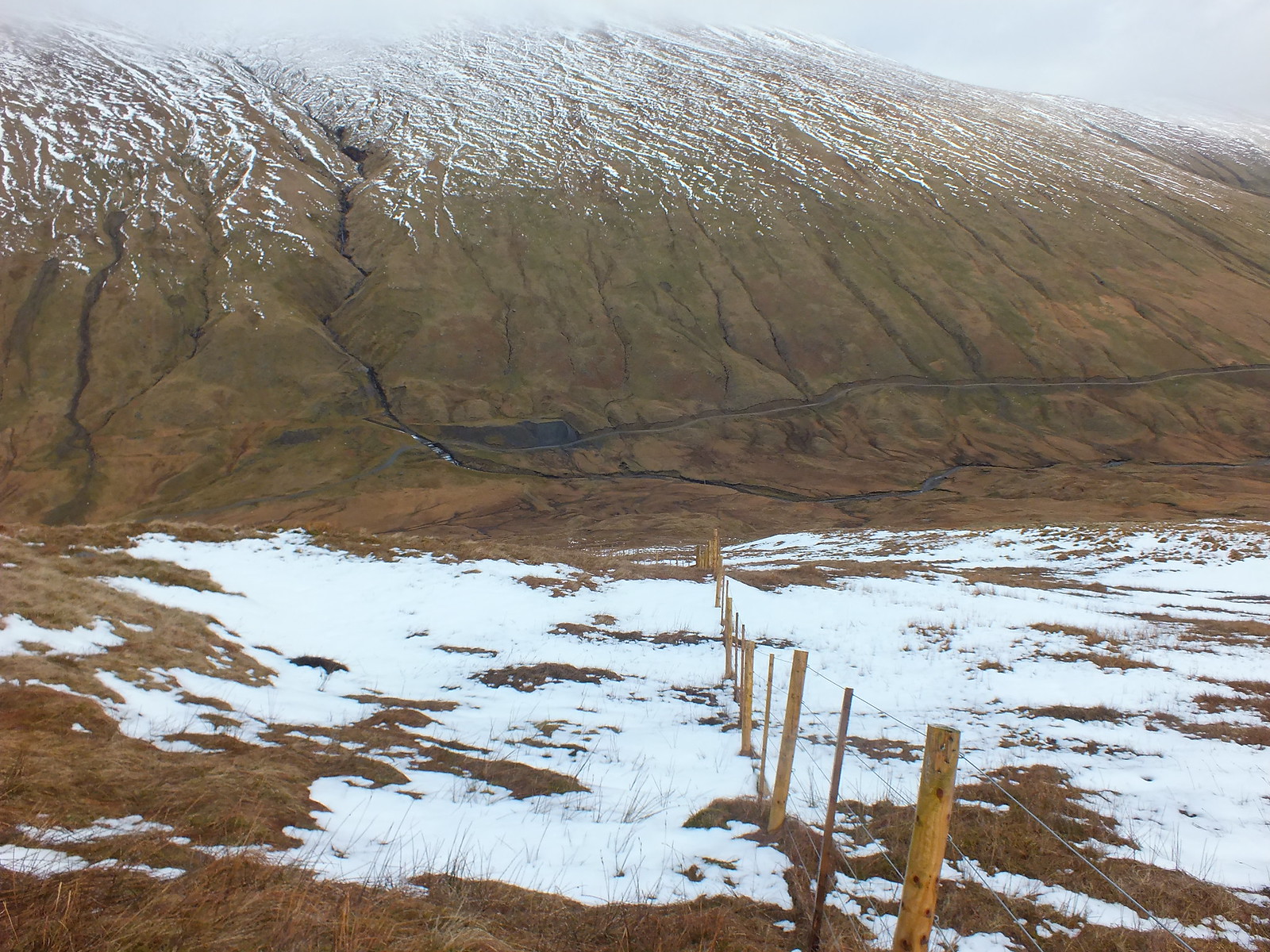
The man made water course was quite impressive, not quite sure of why it is there and designed in such a way, noticed it from quite a distance away.
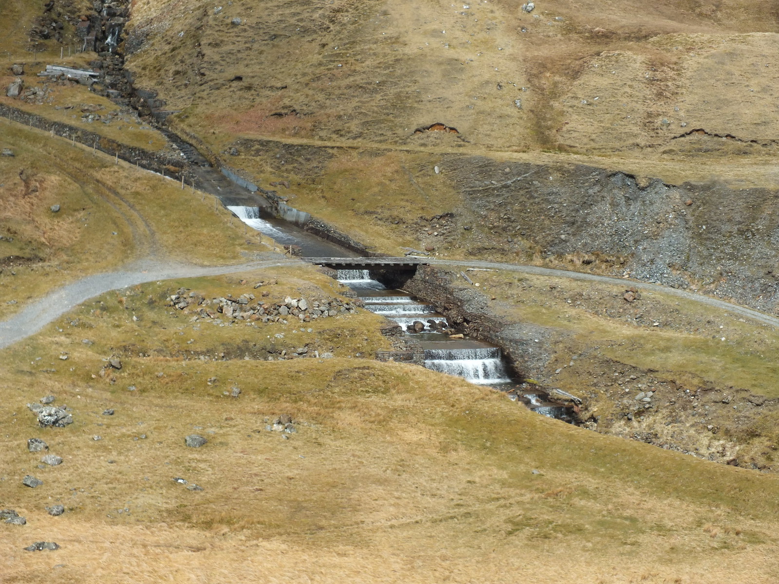
Water feature
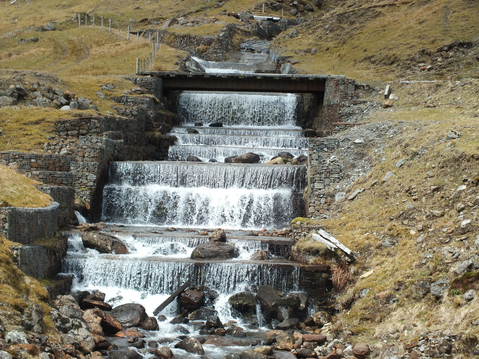
Same water feature from much closer
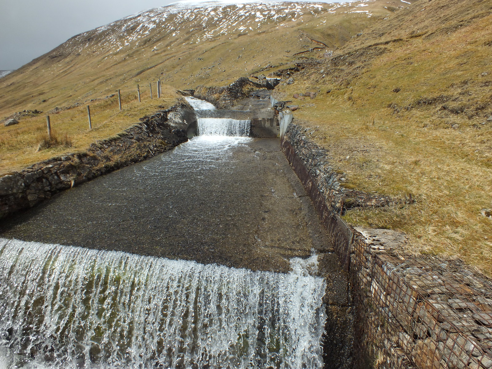
Another shot
Once the path is reached near the water feature it is then just a matter of following the track back under the viaduct and eventually to the car. The several fords that have to be negotiated vary in their construction, depth and ease of crossing.
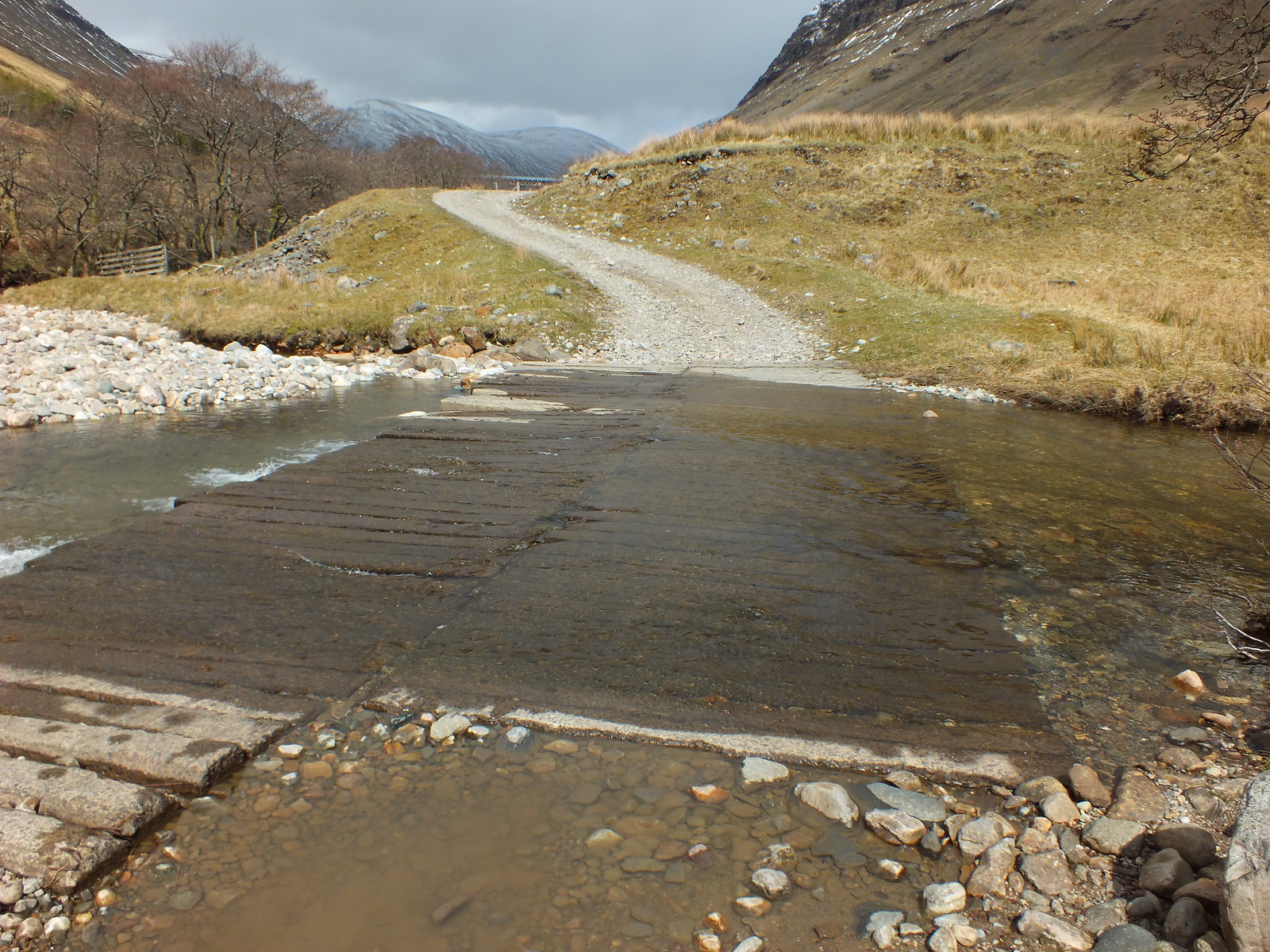
This is one of the several fords, they vary in construction and depth
A cracking day out in another superb part of our country, admittedly the photo's always look better when they have a dusting of white stuff. For the record my son finished his little jog in just over 11 and half hours, the course record was beaten by nearly 15 minutes, 53 miles in under 7 hours is rather impressive

Next, a visit to Glendessary tomorrow, with an overnight stay, then Sgurr Mor on Tuesday, forecast is not really very nice waterproofs are packed
