free to be able to rate and comment on reports (as well as access 1:25000 mapping).
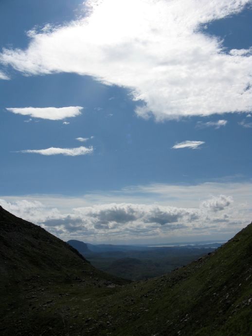
Yes, I know it is now May 2016 and i have only just 'finished' my report. It was a great day, and with such amazing views; it seems a shame not to share the images. Hope you enjoy the photographs of what was a superb day.The conditions the day after Arkle couldn’t have been more different. The walk to Sandwood Bay was meant to be a rest day but it might have been better to stay near Lairg and give my heels a break. The problem is, it had taken so much preparation to get to Scotland I couldn’t possibly just sit and admire the view from the tent.
![18.jpg]()
- Monday evening at the campsite after my return from Arkle
So Sandwood Bay it was and the visibility was poor. I had a sandwich at the new cafe shed by the carpark. Last time I was here on the bike the car park was almost empty and now there was a snack bar, toilets and lots and lots of cars. Sandwood Bay had become a Sutherland must see, partly promoted by broadsheet travel reports. I reached the misty bay, had a snack and quickly returned to the car.
![1.jpg]()
- Sandwood Bay
Wednesday came and I was unsure what hill to tackle. My right heel looked like raw bacon and needed rest. Ben More Assynt and Foinaven were clearly out of the question. Instead I chose Quinag. Having lost my guide book I relied upon previous WH reports from my phone and set off.
![map.jpg]()
- From Highland Landforms - Robert J Price 1976 Highlands and Islands Development Board
I would ascend Spidean Coinich and then decide if I was to go any further on this complex mountain. It turned out that the day gave Arkle a run for its money.
The day was beautiful. Drove the A837 and the iconic Assynt mountains begin to peek out the closer I got to Ledmore. Suilven was clear – should I do that again? Ben More Assynt's summit was in cloud. Quinag stood out perfectly visible from the window as I passed Ardvreck Castle. I was thrilled by the weather conditions. Assynt, in this weather,was out of this world. Assynt has to be the most epic, other- worldly landscape that I have encountered.
![2.jpg]()
- Quinag from the car park
I parked up and chatted to a couple who I would meet periodically during the day. They walked ahead as I packed my rucksack and then I crossed the A894 to the start of the very clear path.
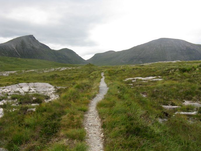 Quinag path
 I had spotted a RAF jet very high above me on arrival. However the advancing jet from the north took me by surprise. It was so low I could clearly see the undercarriage. The noise was thunderous. I was suddenly on a low level flight path. I have never seen a plane so low.
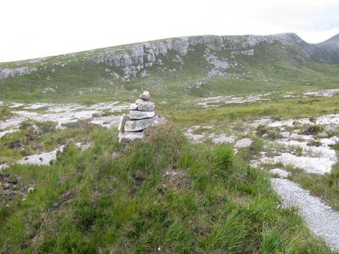 Cairn marks the approach to Spidean Coinich
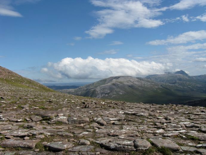
I ascended Spidean Coinich from where the path split. The climb was gradual and I enjoyed walking on the boulder fields. My progress was slow but the landscape began to open up to the south as I ascended.
![5.jpg]()
- Steady climb to Spidean Coinich
![4.jpg]()
- Loch Assynt just visible
![6.jpg]()
- North to Loch a' Chairn Bhain
![7.jpg]()
- Beinn Gharb, Canisp and Cul Mor
![8.jpg]()
- Loch Assynt
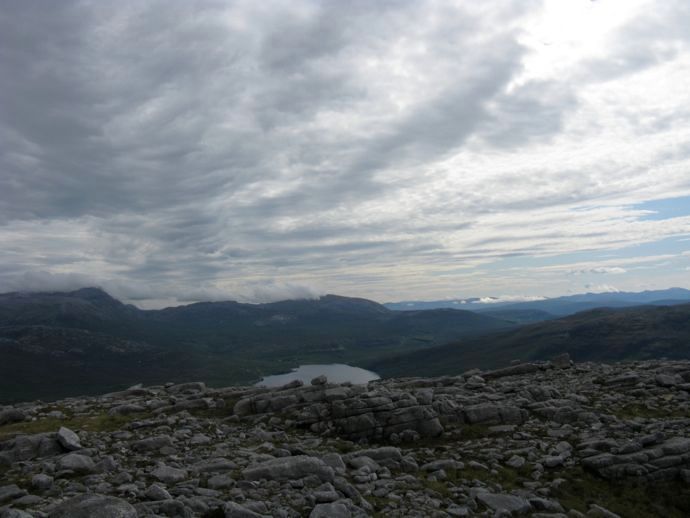
I thoroughly enjoyed this ascent as the views slowly expanded. You don't have to go too far if you want spectacular panoramas on Quinag.
![10.jpg]()
- Canisp, Cul Mor and Suilven
![11.jpg]()
- Outer Hebrides just visible
![12.jpg]()
- Sail Gharbh from the approach to Spidean Coinich
![13.jpg]()
- Suilven (clearer than last year!)
![14.jpg]()
- Loch Assynt
![15.jpg]()
- Waterworld
![16.jpg]()
- Looking down to the A837 and Loch Assynt trees
![19.jpg]()
- Outer Hebrides
![20.jpg]()
- Sail Gharbh
![22.jpg]()
- Suilven
Had lunch on the top of this first Corbett. I dropped down to Lohan Ruadh and then ascended the 714m peak. There is a clear path and its descent was one of the highlights of the day it required care but with such good conditions was a joy.
![17.jpg]()
- From Spidean Coinich - one of my favourite images from the day
![23.jpg]()
- Lochan Bealach Cornaidh
![24.jpg]()
- Stone and sea
![25.jpg]()
- Stunning Assynt
 Towards Ben More Assynt and Conival
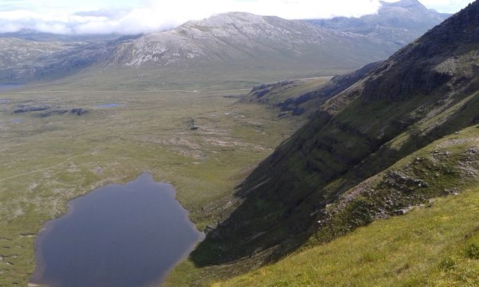 Glas Bheinn
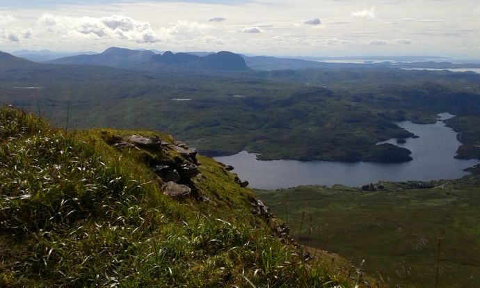 Tumore Lodge visible on Loch Assynt
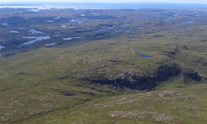 Lots of lochans
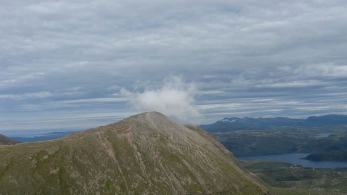 Cloud over Sail Gharbh
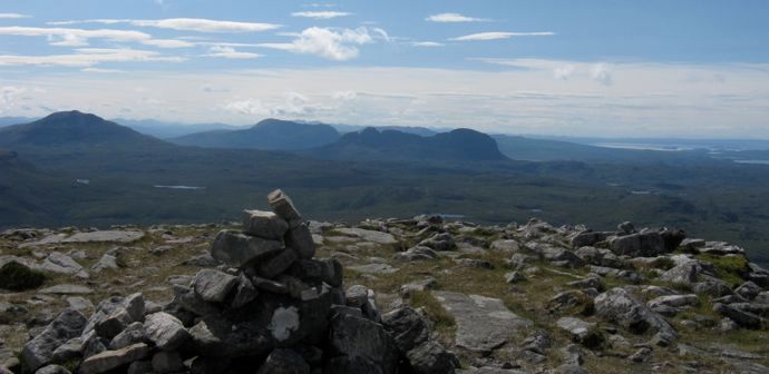 Cairn
Cairn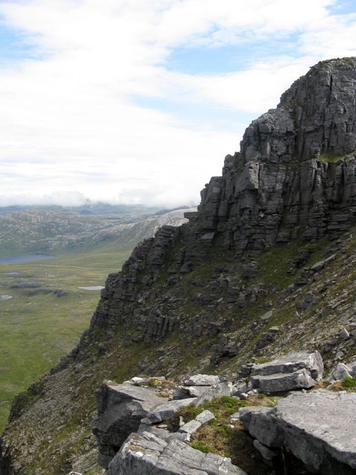 Spidean Coinich cliff
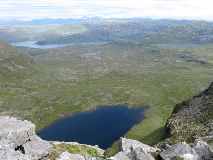 North to Sutherland
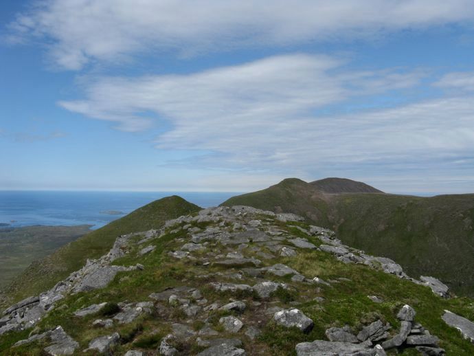 Up
Up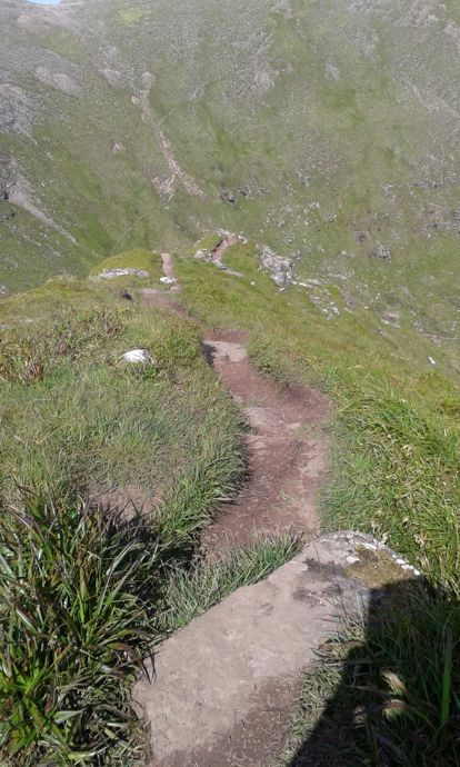 Down
Down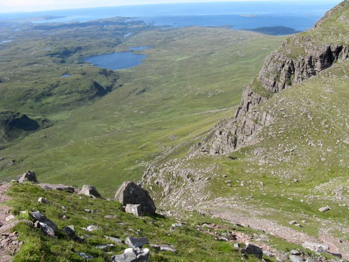 Loch an Leothaid
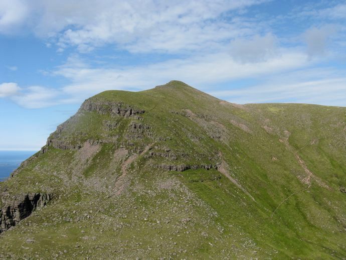 Path to Sail Gharbh
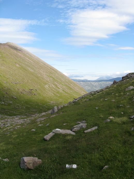 Arkle from Bealach a Chornaidh
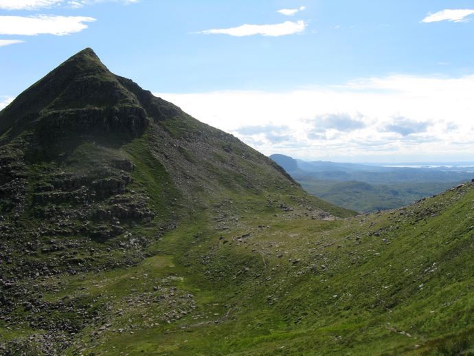 Suilven from Bealach a Chornaidh
Looking back up at this descent gives the impression of a very precipitous route but it was straightforward enough in these conditions.
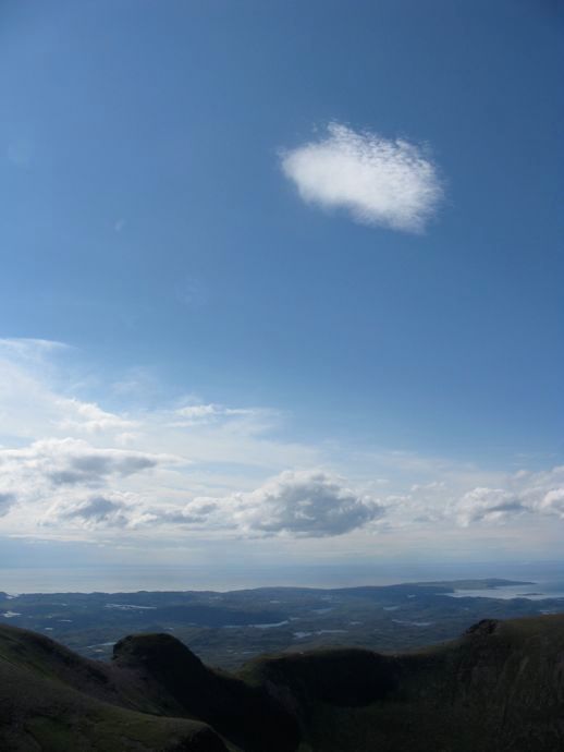
 Face in the sky
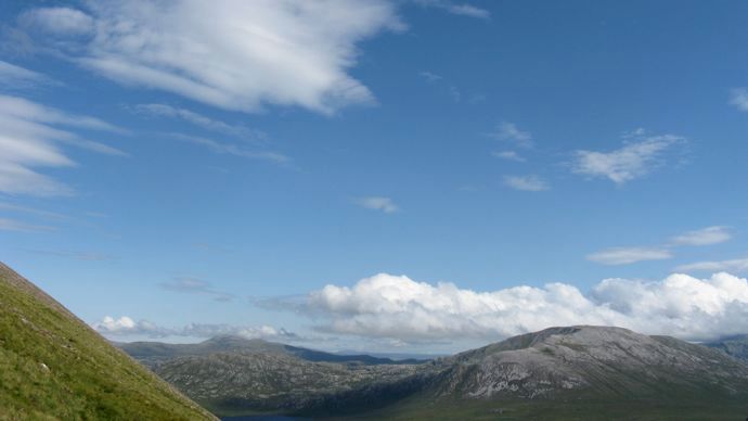 View from Sail Gharbh path
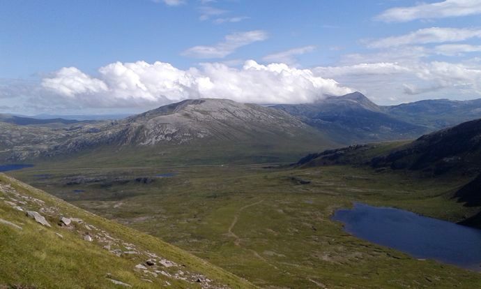 Like smoke from a chimney
 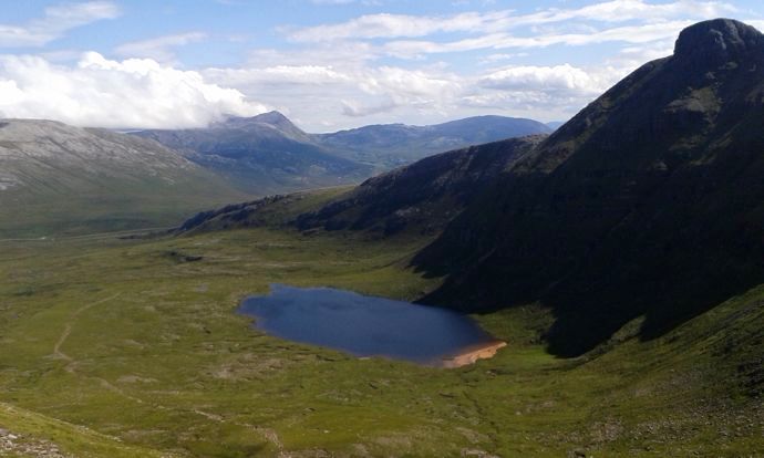 Shadows of Spidean Coinich
I decided to leave Sail Ghorm with my feet increasingly sore and concentrate on Sail Gharb. Two men were working hard on making a new section of the path. I will have to let the images and captions do the rest of the work in this report. How do you write your reports - do you make notes on the way/ write them immediately on return?
 Flattening out before the final climb to summit
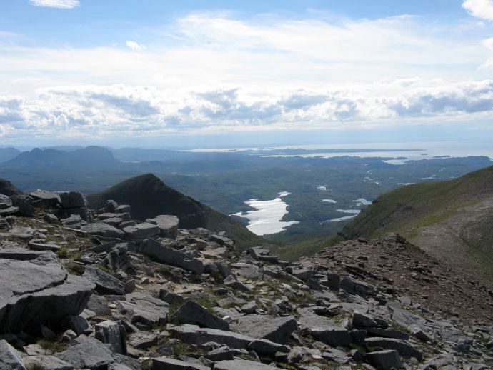 Summit view
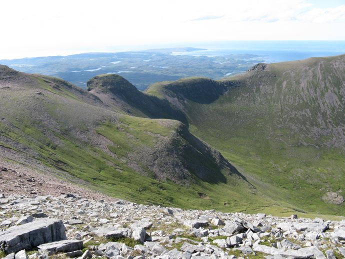 Coast
Coast Sail Ghorm and the view north
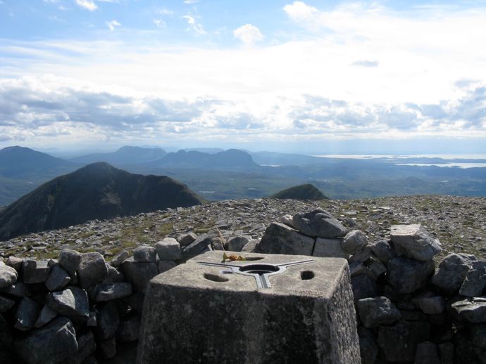 Sail Gharbh trig point with apple core (not mine)
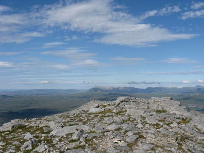 Arkle and Foinaven
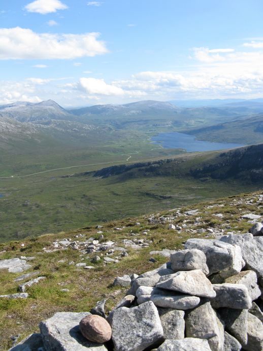 South from the summit
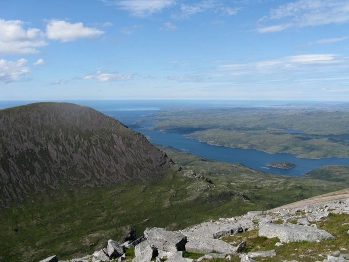 Loch a' Chairn Bhain
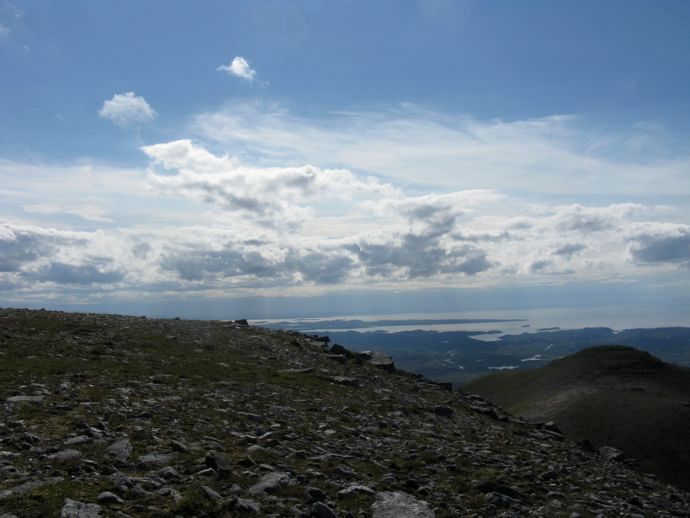 Eddrachillis Bay
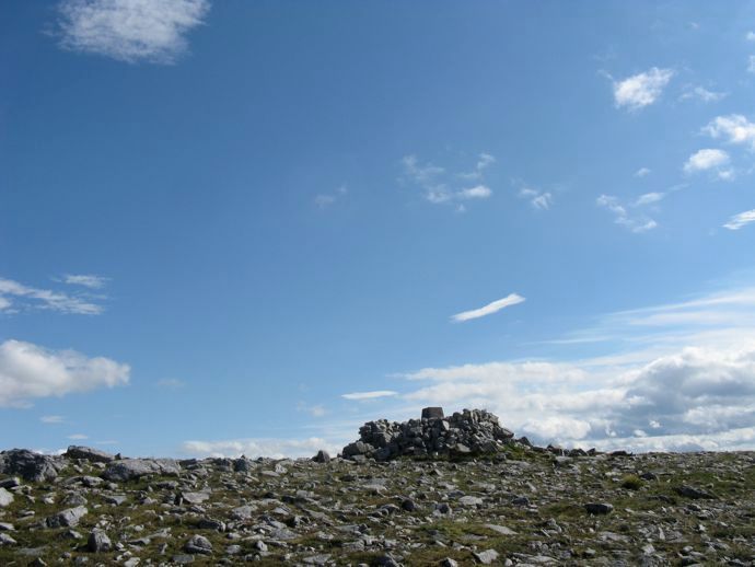 Cairn and trig point
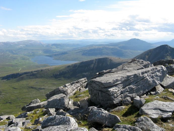 Canisp
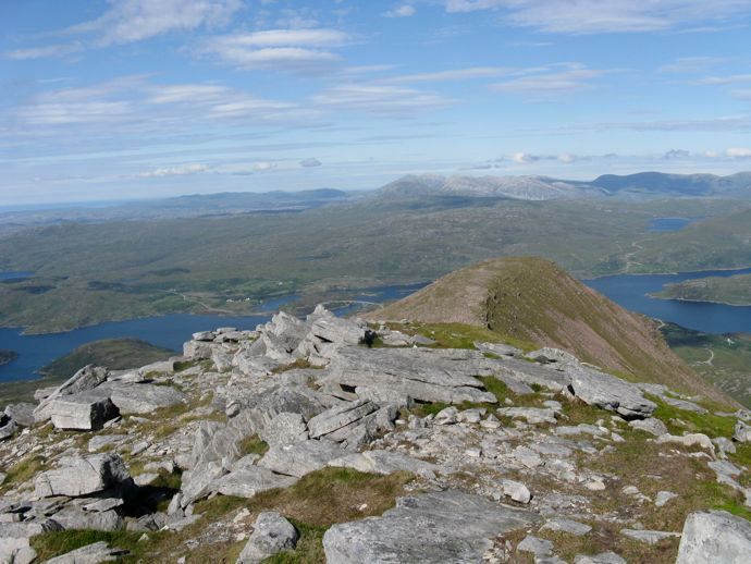 Kylesku bridge
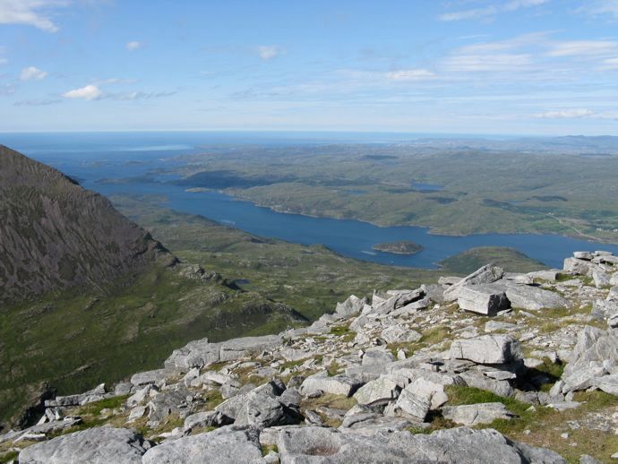 Summit view
 Harris hills
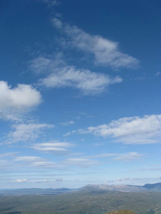 Ben Stack, Ankle and Foinavon
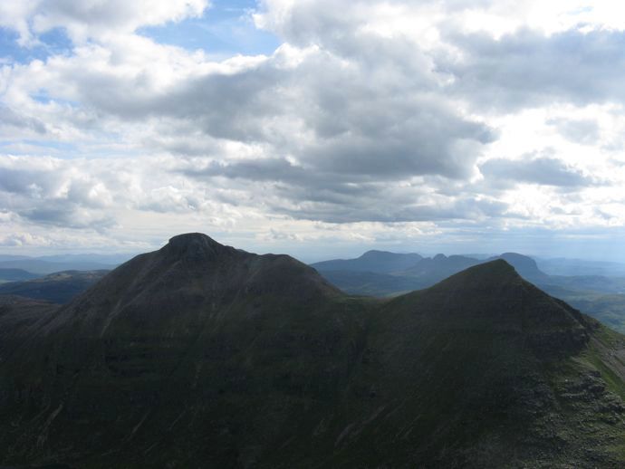 Epic Assynt
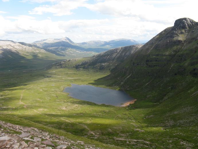 The return path
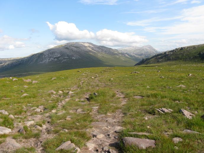 Glas Bheinn
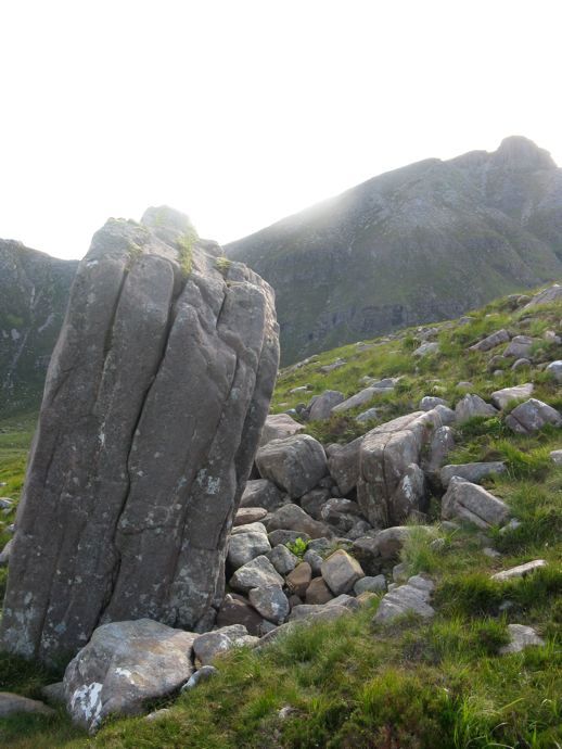 Boulders
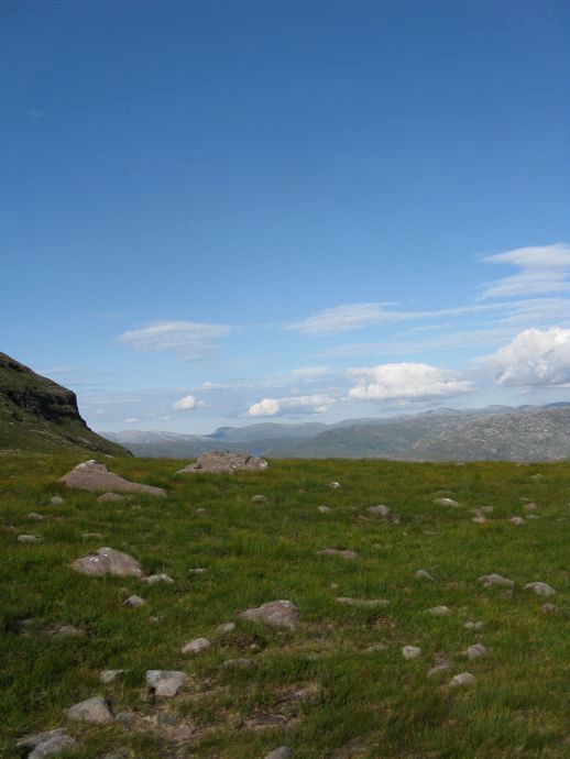 North from the return path
