free to be able to rate and comment on reports (as well as access 1:25000 mapping).
A week in Glencoe in early May wasn't going to be perfect, weatherwise, we had plenty planned and those plans were totally dependant on good conditions, as it turned out plans A,B and C were put to good use depending on what we woke up to each morning, so here's how the week went.
Sunday 1/5/16
We woke up to rain battering against the windows of our cottage, plan A was out and plan B wasn't looking promising either so we decided plan C was the way to go.
This was a walk around the Lochan and the trails above Glencoe village and after lunch a trip down the road to Kinlochleven to have a look at the Grey Mares Tail waterfall,
![P5012893.JPG]()
- Grey mares tail.
later on we visited Signal Rock, this was a nice little jaunt, ideal for a damp day and as the afternoon wore on things improved.
![DSC01442.JPG]()
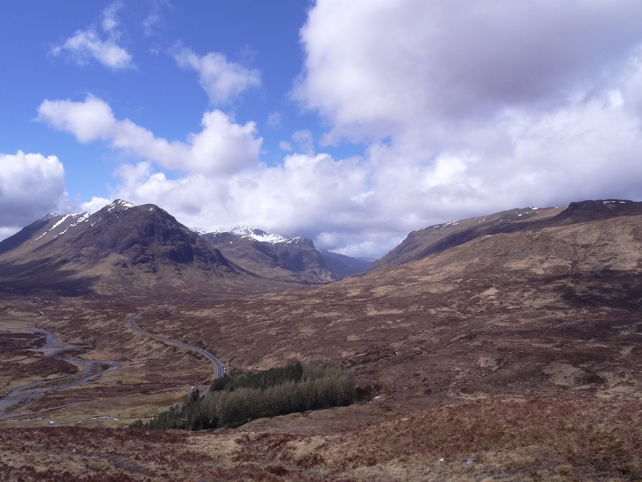
- Around Glencoe
![DSC01443.JPG]()
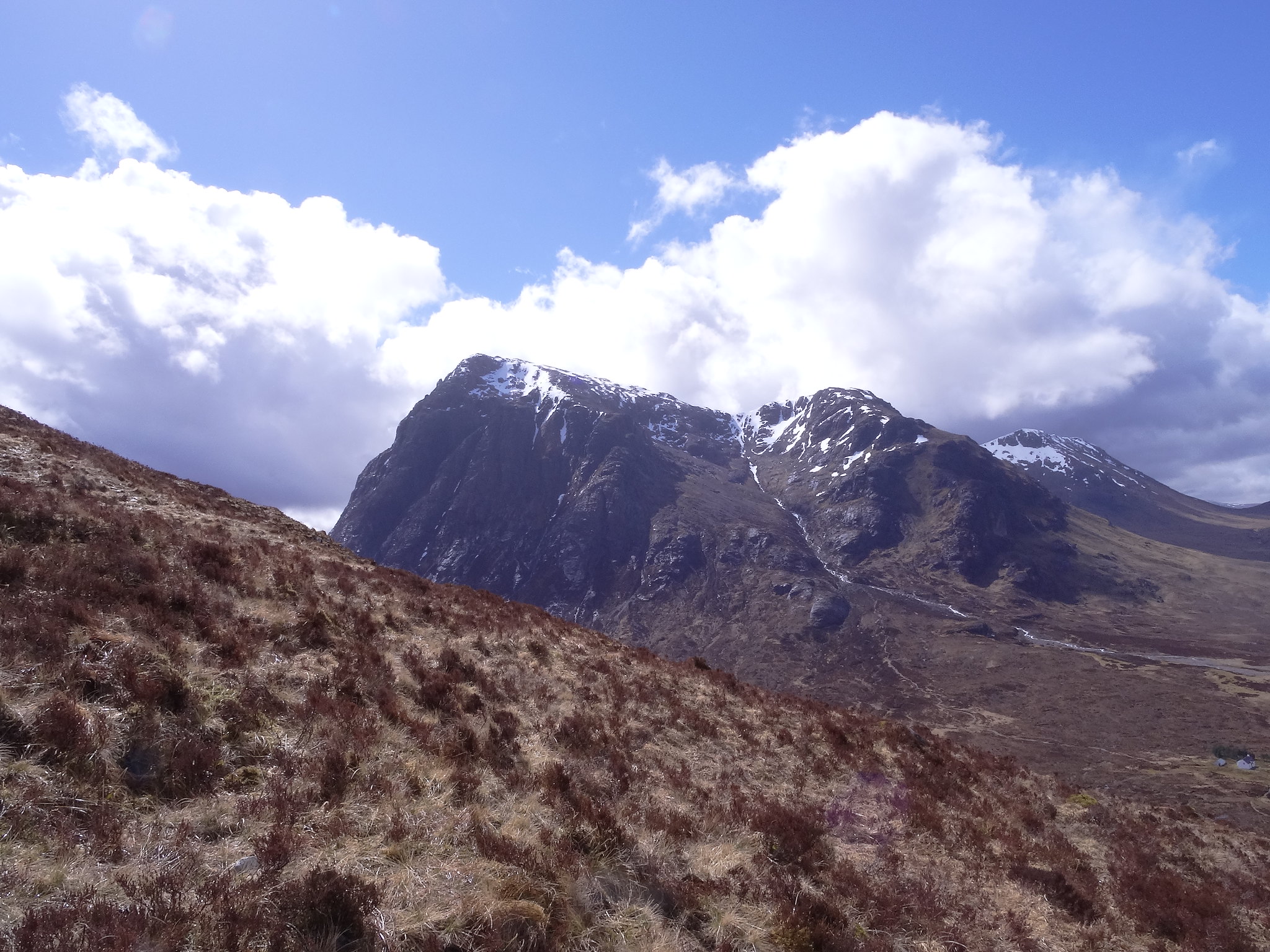
- Aonach Eagach
Monday 2/5/16.
Beinn a'Chrulaiste
600m ascent
6.25 km
3 hours
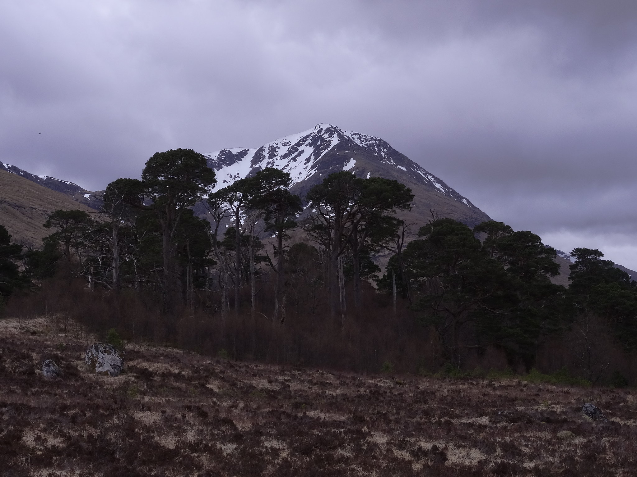
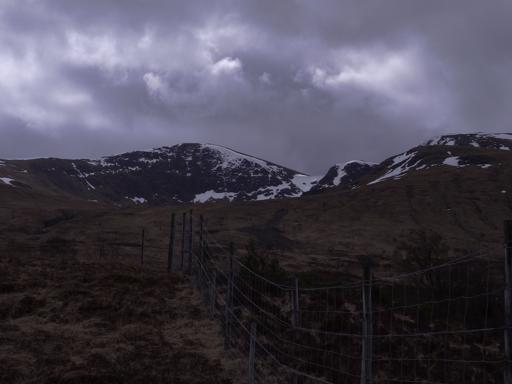
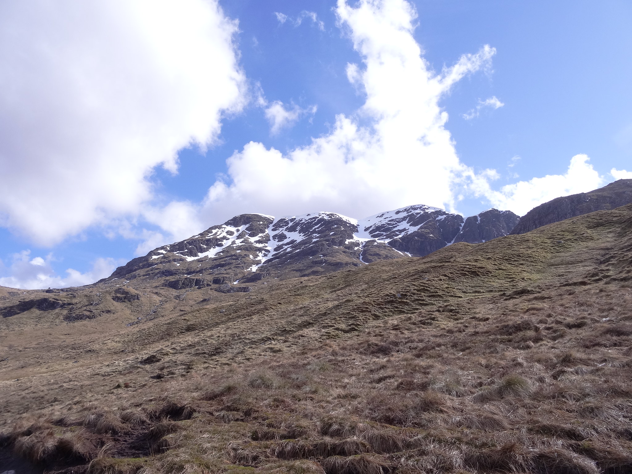
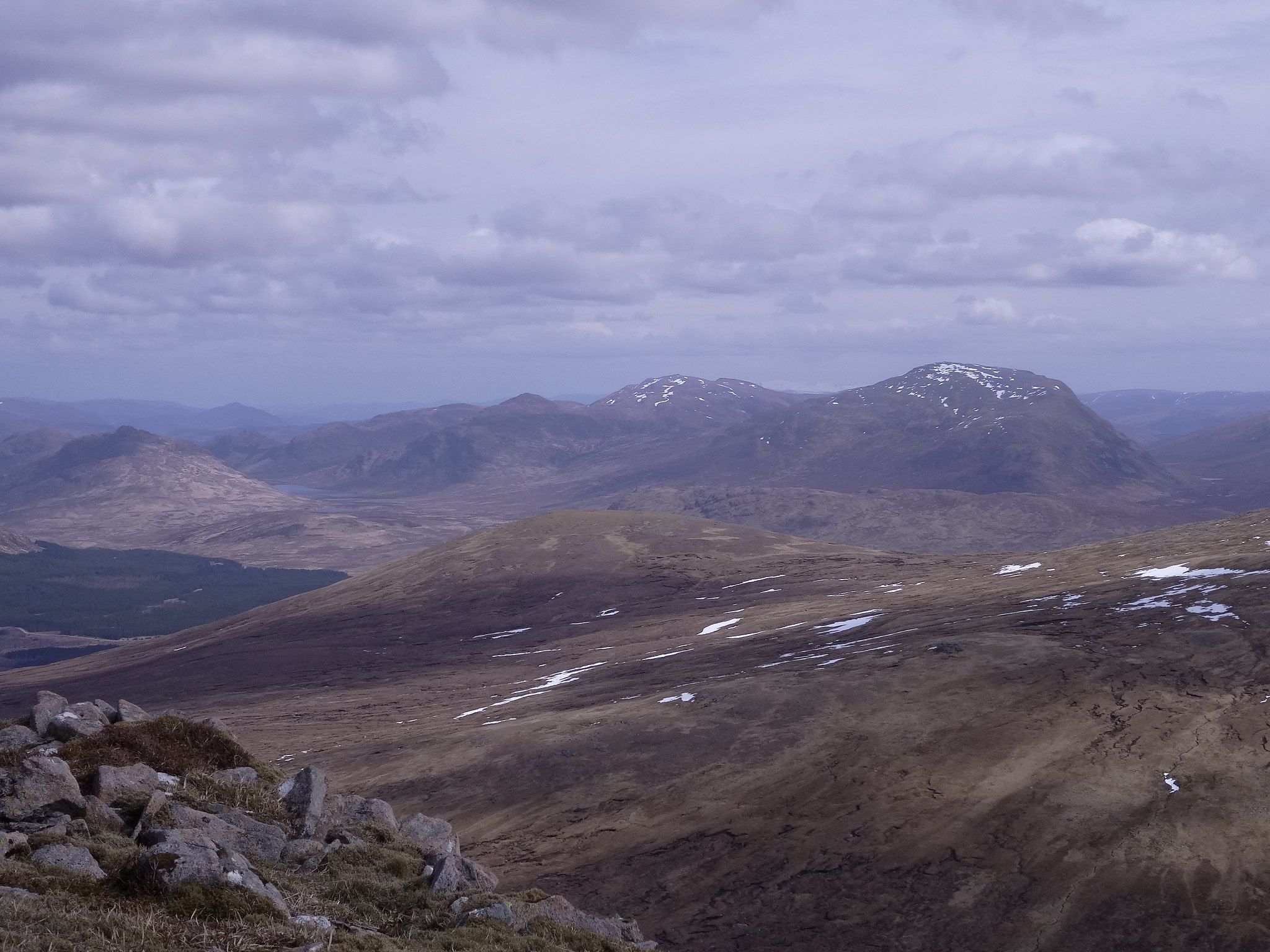
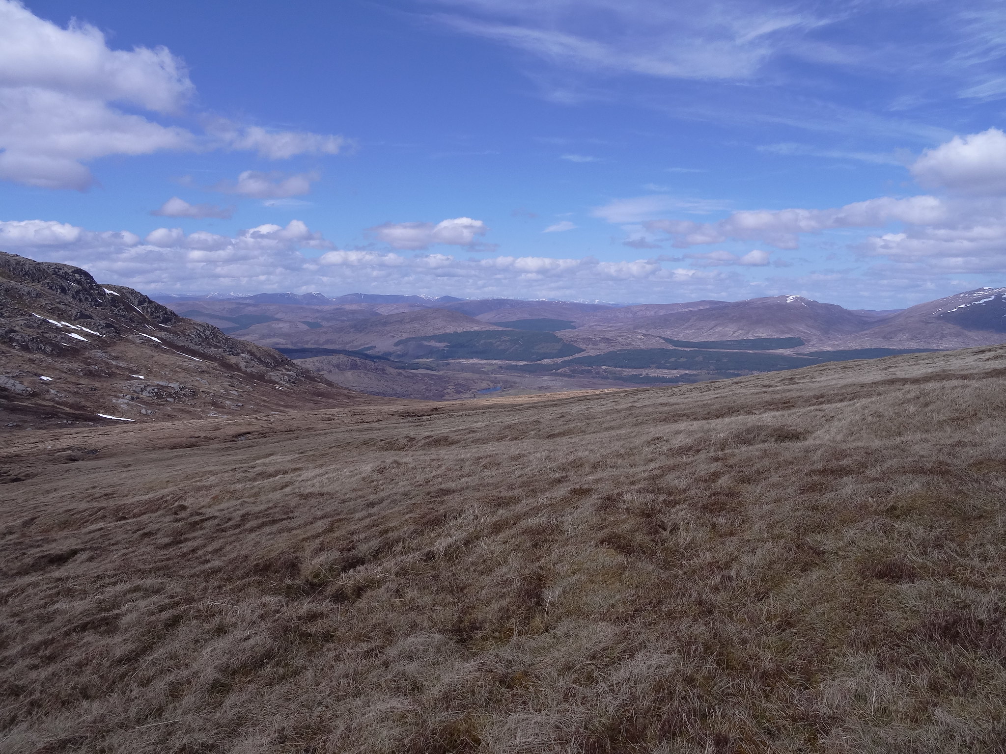
Again the weather held no promise at all but we had to do something, not a Munro so why not a Corbett? we decided to have a go at Beinn a'Chrulaiste, a Corbett that held the promise of good views and with the forecast improving for three or four hours in the afternoon we decided on an early lunch then see how we got on.
There was no problem parking in the layby at Altnafeadh , we got suited and booted and set off in the rain towards Beinn a'Chrulaiste.
The walk starts off following the W.H.W until a gate gives access to the open hillside, from here we followed a fence line over boggy ground for three or four hundred metres then we turned right and headed directly uphill. This was steep but height is gained quickly.
 DSC01454
 by
Martin Hawer, Looking into Glencoe, Weather improving, much better at the moment
 DSC01455
 by
Martin Hawer. Buchaille "you know who"!
 DSC01456
 by
Martin Hawer. Lovely, one of the best glens in Scotland.
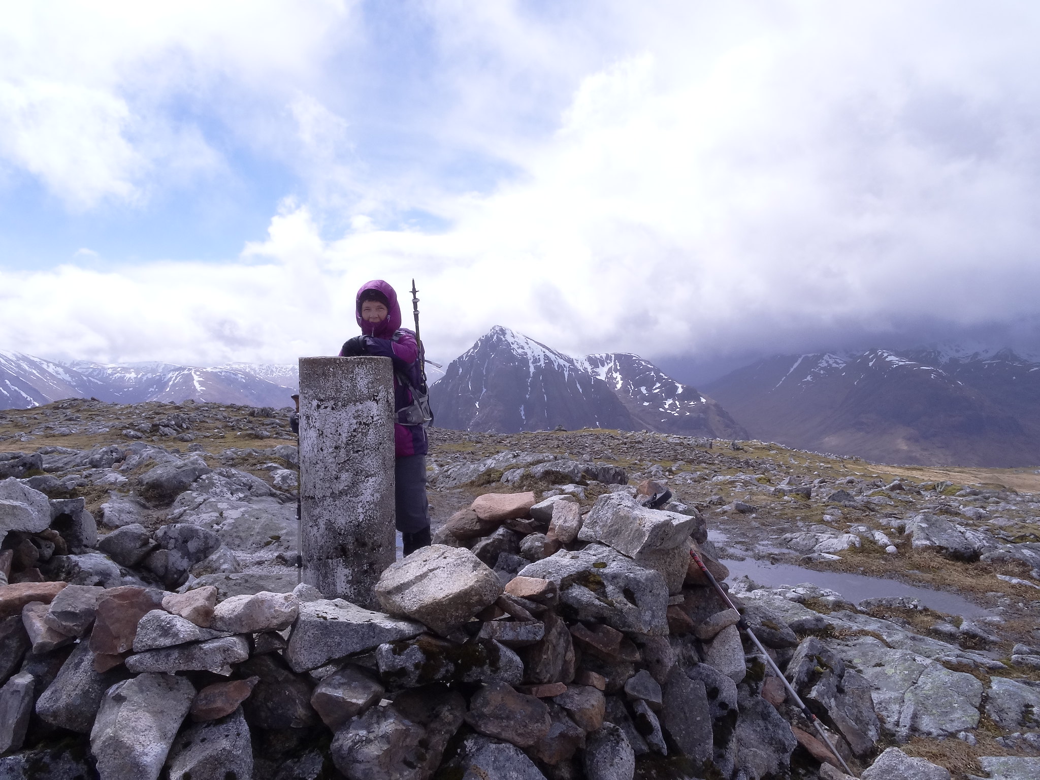
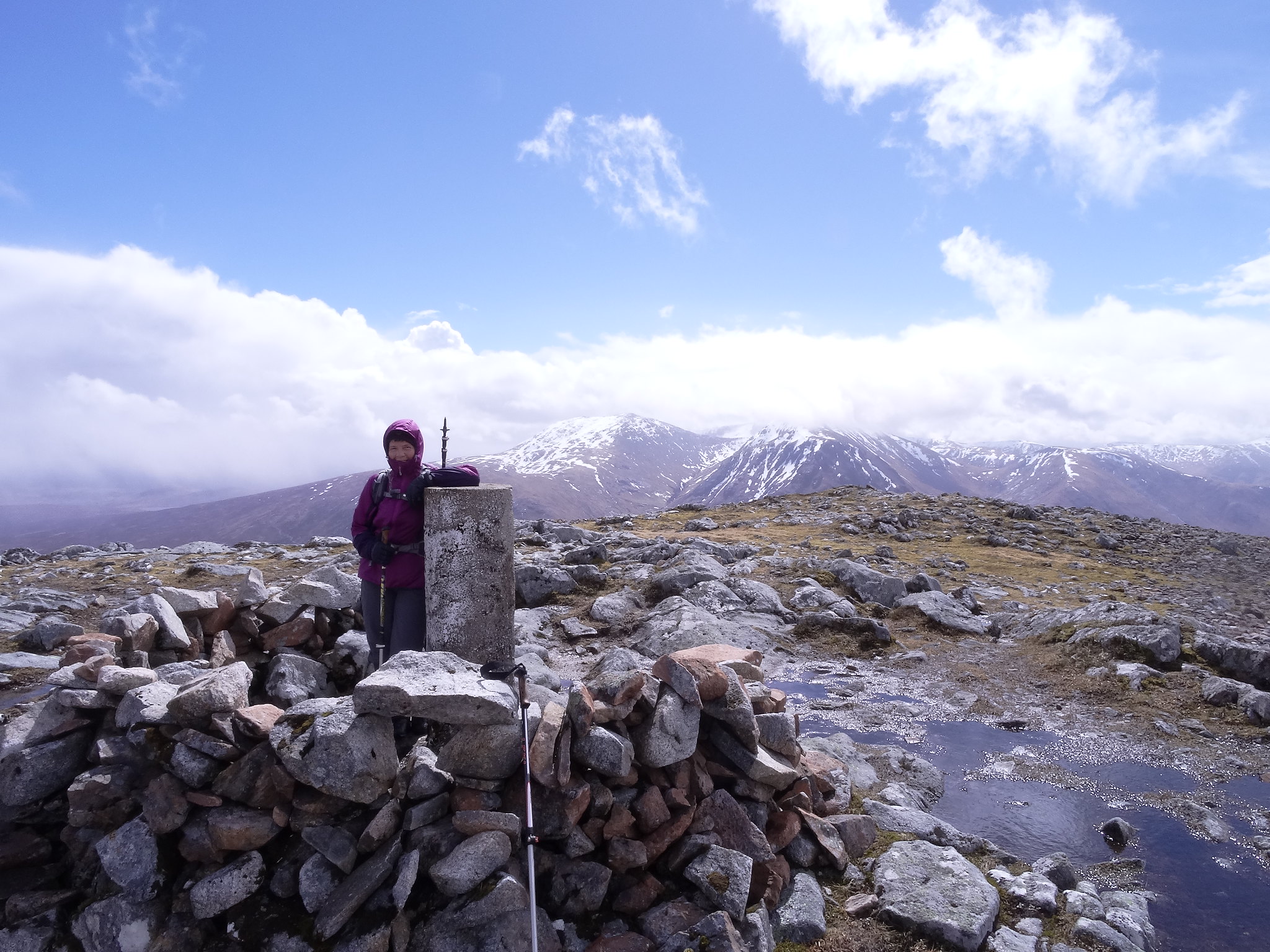
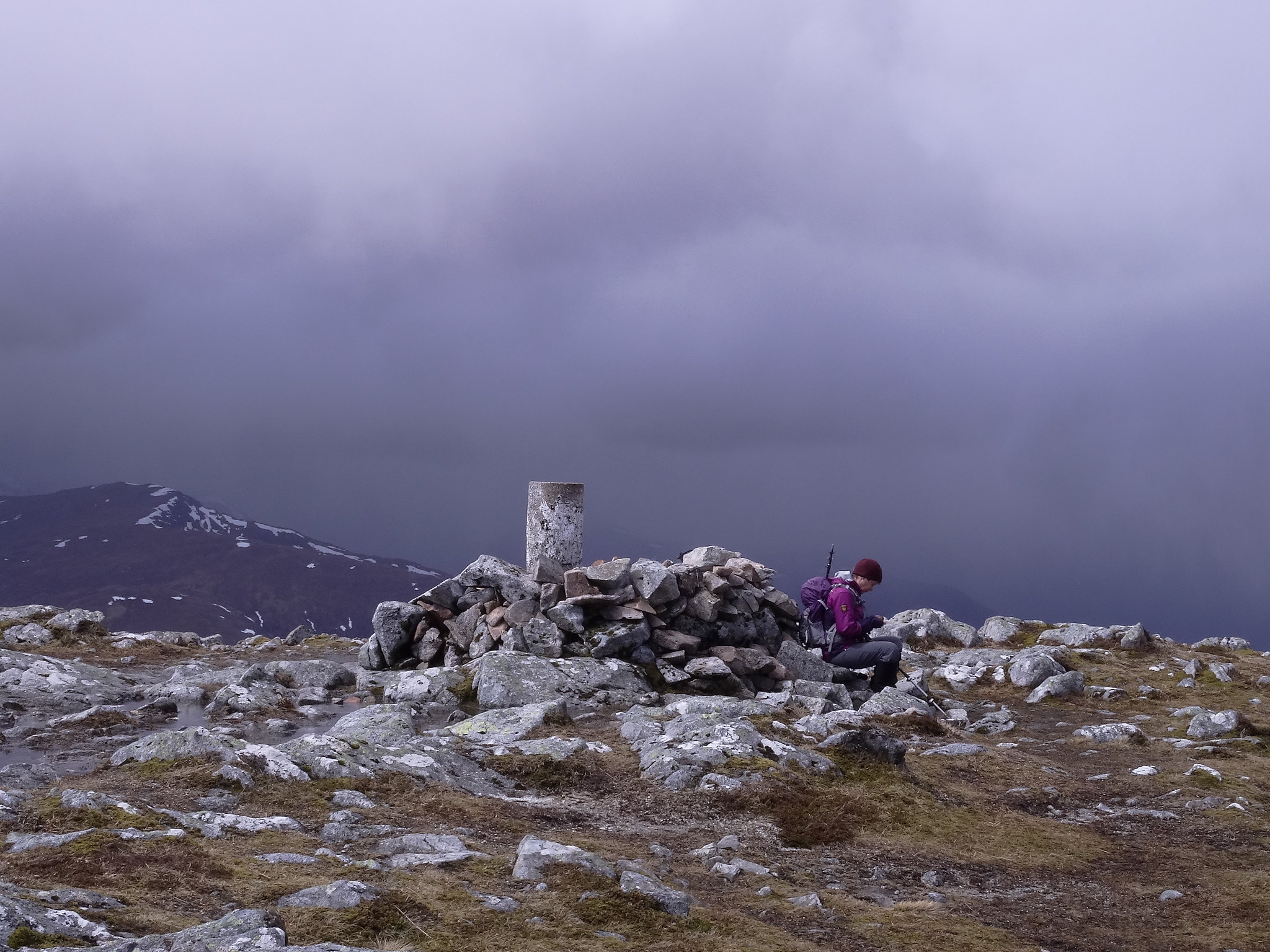
After 300 mtrs or so of ascent we arrived at the cairn on the nobbly Stob Beinn a' Chrulaiste and could see the way ahead. The gradient eased off from here and it soon became a pleasant walk to the summit over initially boggy ground then firmer heathery slopes all the way to the trig on the summit
 DSC01458
 by
Martin Hawer. The summit.
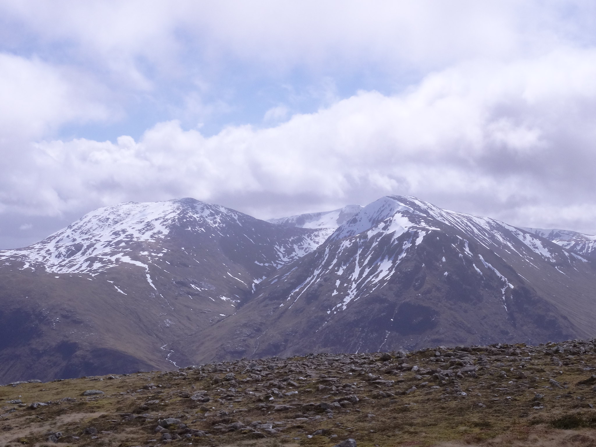
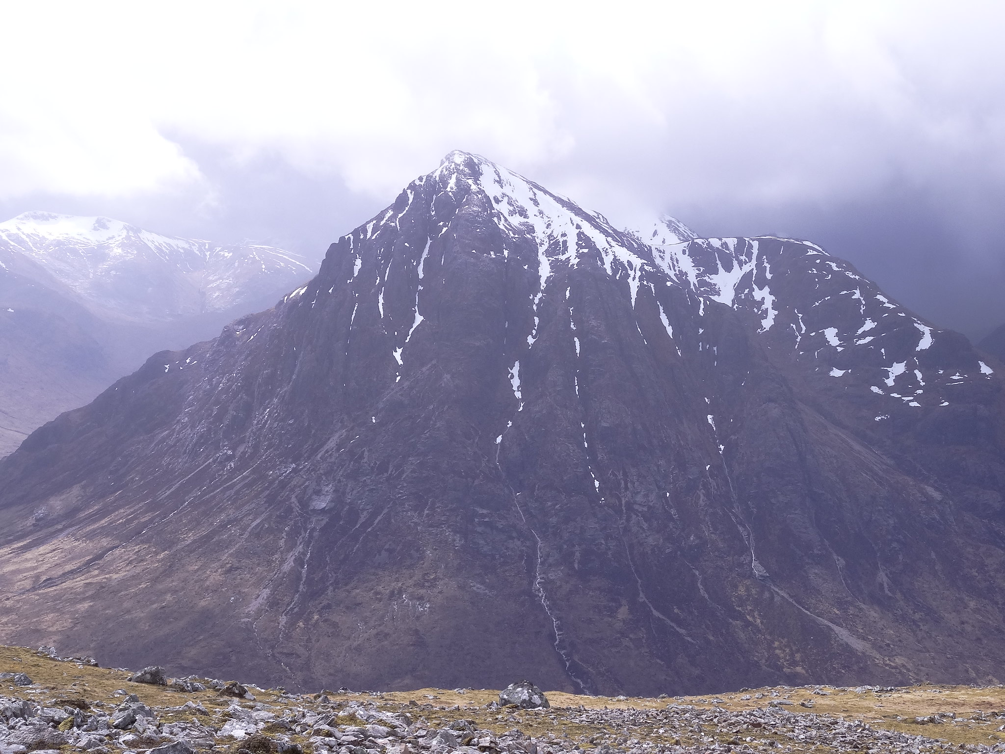
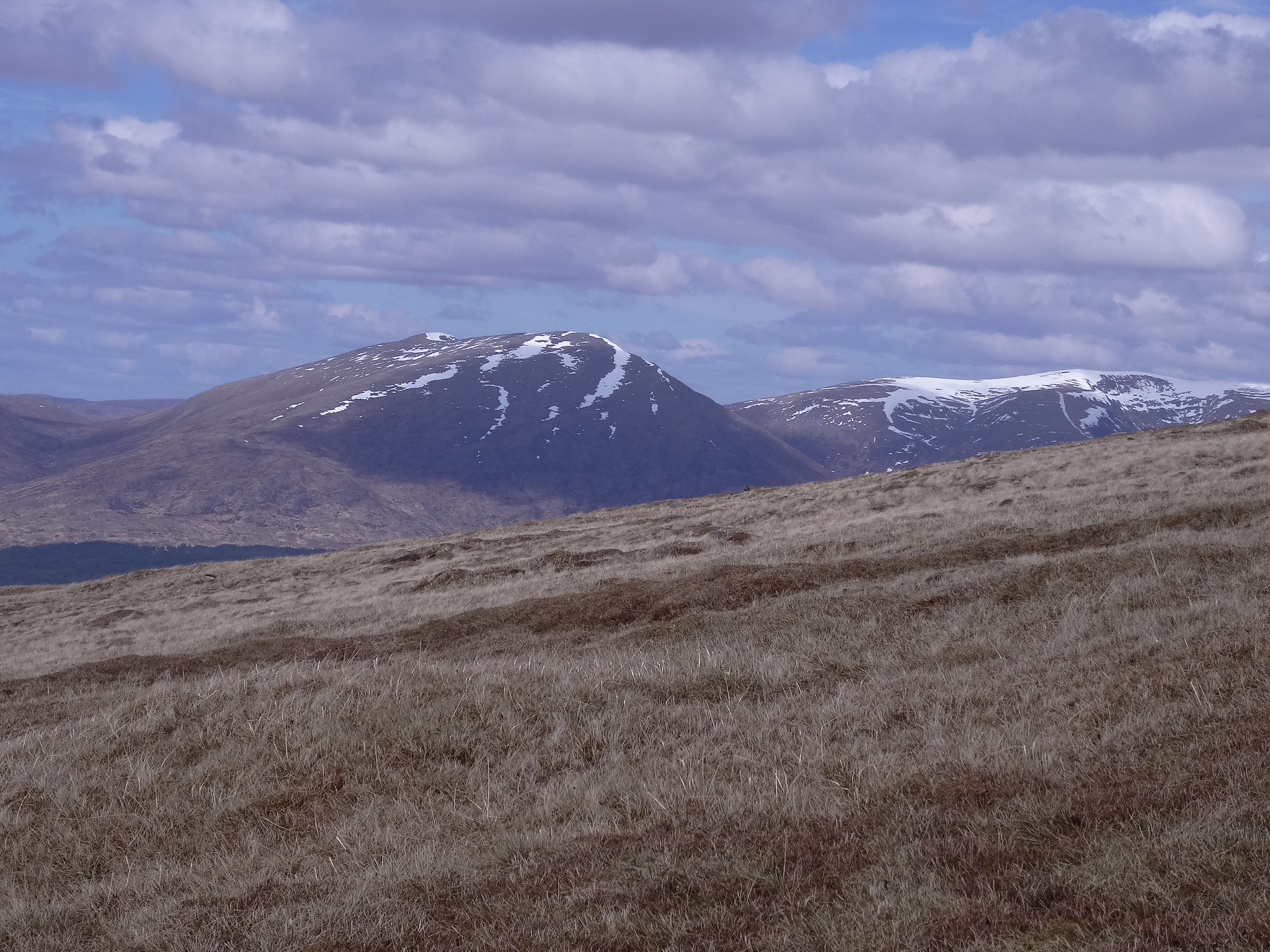
We had showers on the way up, on the summit, however, the cloud and clag gave way to give us some wonderful views of the big'uns in Glencoe.
 DSC01459
 by
Martin Hawer. Looking between Buchaille's Mor and Beag.
 DSC01460
 by
Martin Hawer Blackmount behind Denise.
 DSC01461
 by
Martin Hawer Looking towards the Perthshire hills.
 DSC01462
 by
Martin Hawer. A bit further round.
 DSC01463
 by
Martin Hawer. South.
 DSC01466
 by
Martin Hawer. Meall a'Bhuridh and Sron na Creise and Creise
 DSC01465
 by
Martin Hawer Moody Skies.
 DSC01469
 by
Martin Hawer Guess who?
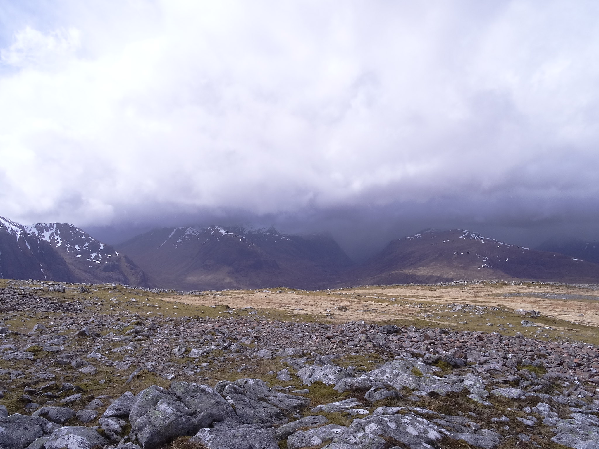
We stayed on the summit for a good 20 mins just looking and having a munch, all of a sudden the cloud came in again and it became massivly cold as a blizzard blew over us turning everything white including us, we decided to beat a hasty retreat back the way we came, any thought of a quick pint in the Kingshouse was pushed away in favour of getting off asap.
Halfway down the snow stopped and we were treated to a bit of sunshine again but this didn't last, soon it started to chuck it down and lasted all the way to the car.
This was a nice way to fill an iffy afternoon and the weather wasn't that bad, we'd gained a Corbett something we should do more often.

Tuesday 3/5/16
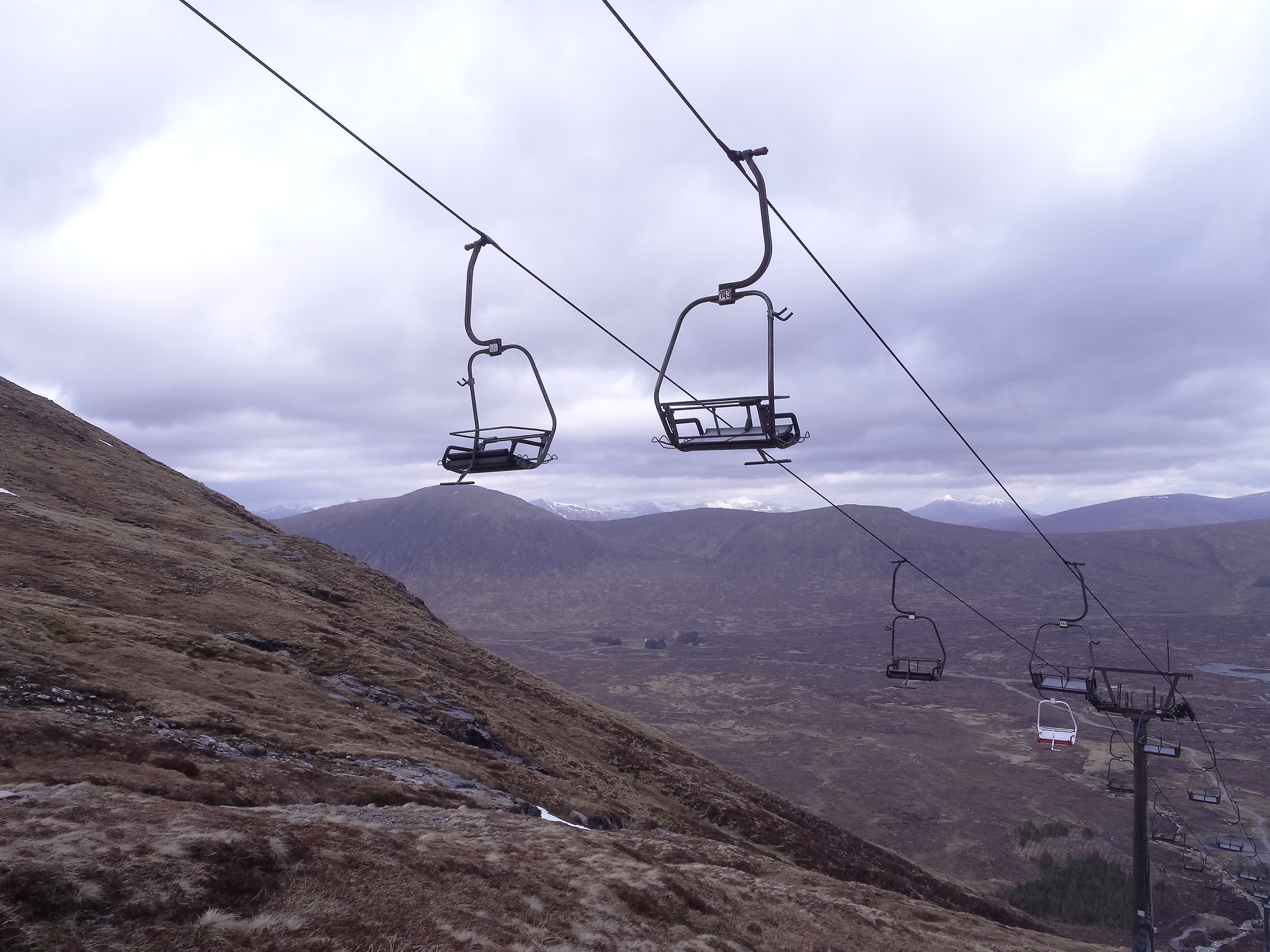
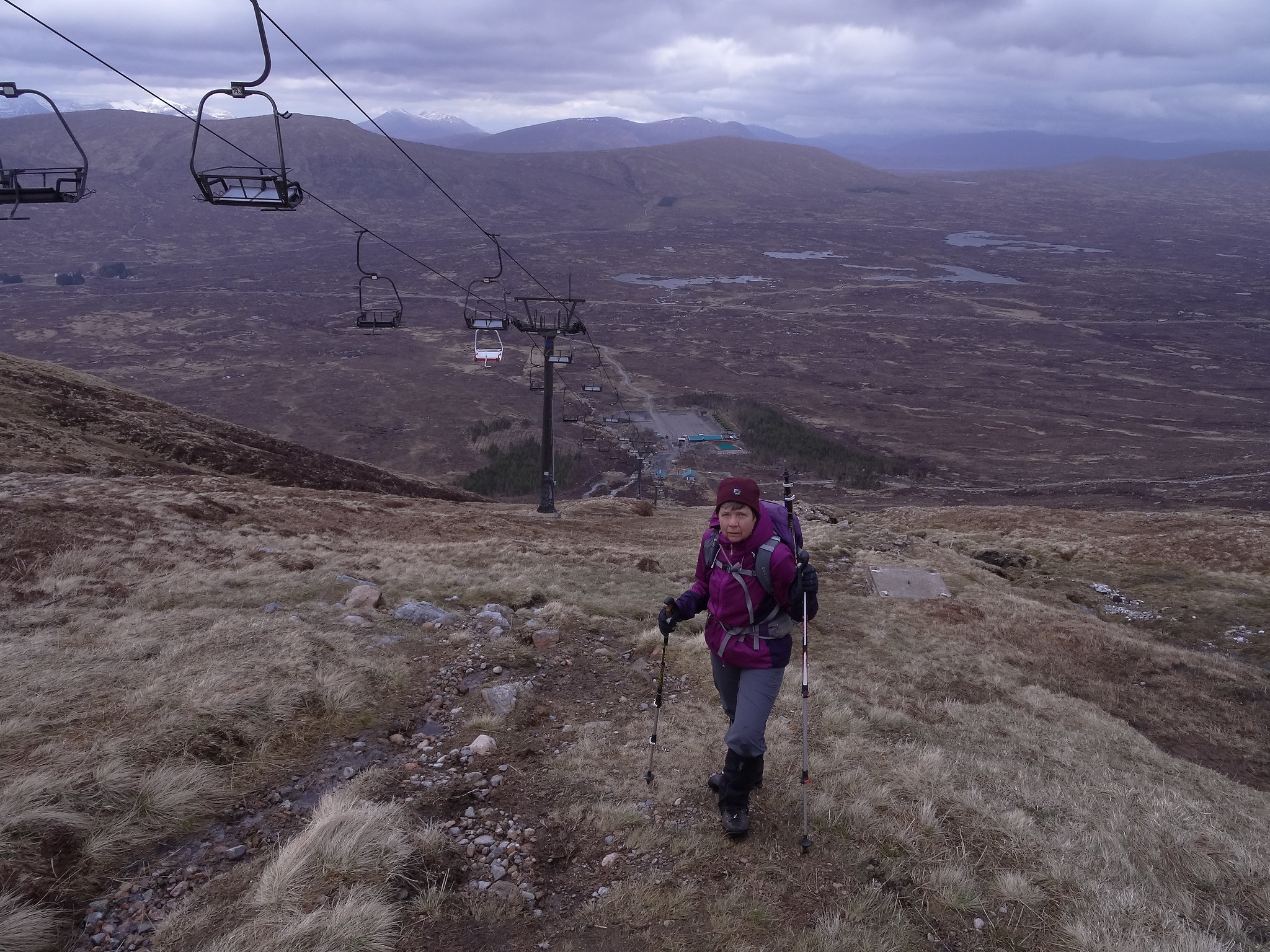
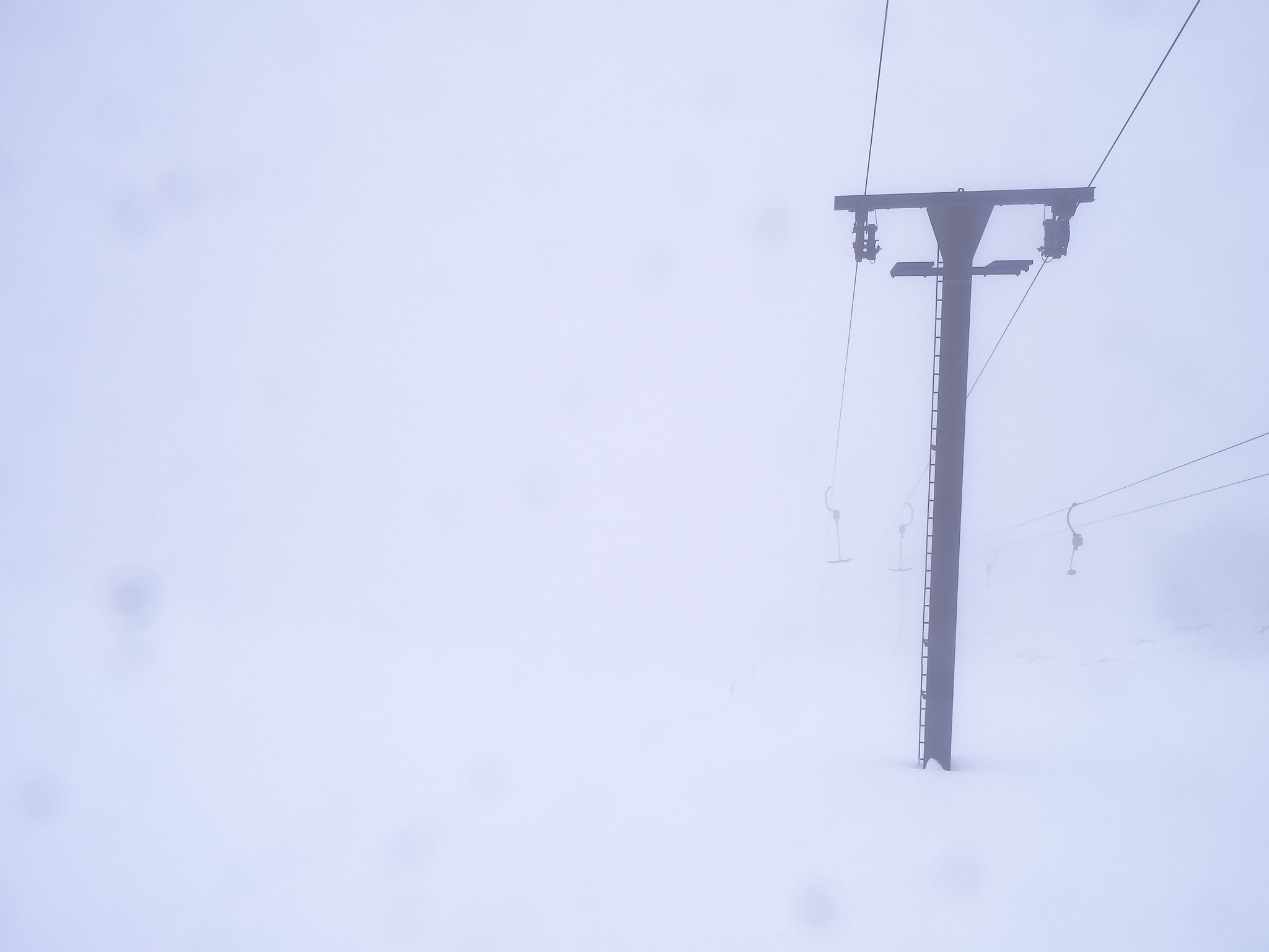
Had planned to do Meall a'Bhuridh and Creise but when we arrived at the ski centre we were greeted by lunatic winds and this:-
And lower down, this:-
what a contrast.
So decided to see what Fort William had to offer.
Wednesday 4/5/16
Meall a'Bhuridh from the ski centre
740m ascent
5.5km,
3.5 hrs.
The forecast promised a nice morning so we decided on an early start to do these and hopefully get down before the daft weather arrived in the early afternoon.
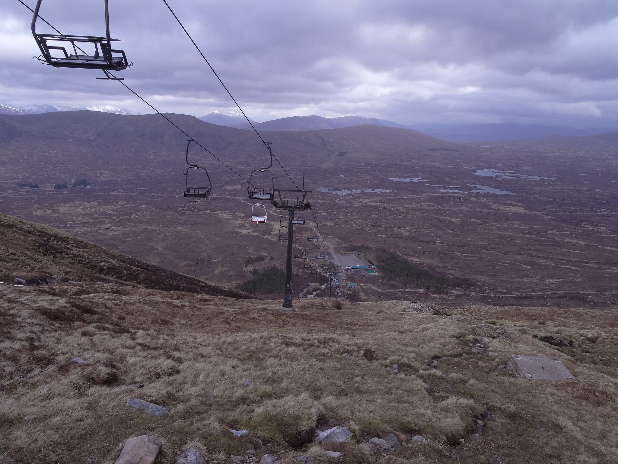
We arrived at the ski centre at 8.45 got out of the car to get the boots on and was nearly blown back into the car, mmmm!, stronger than forecast but at least it wasn't raining...yet!......
We headed toward the ski tows and followed them up the initial steep bit, on the way up we had a small shower, one of those that kindly leaves you wet and forces you to think "what are we doing?"

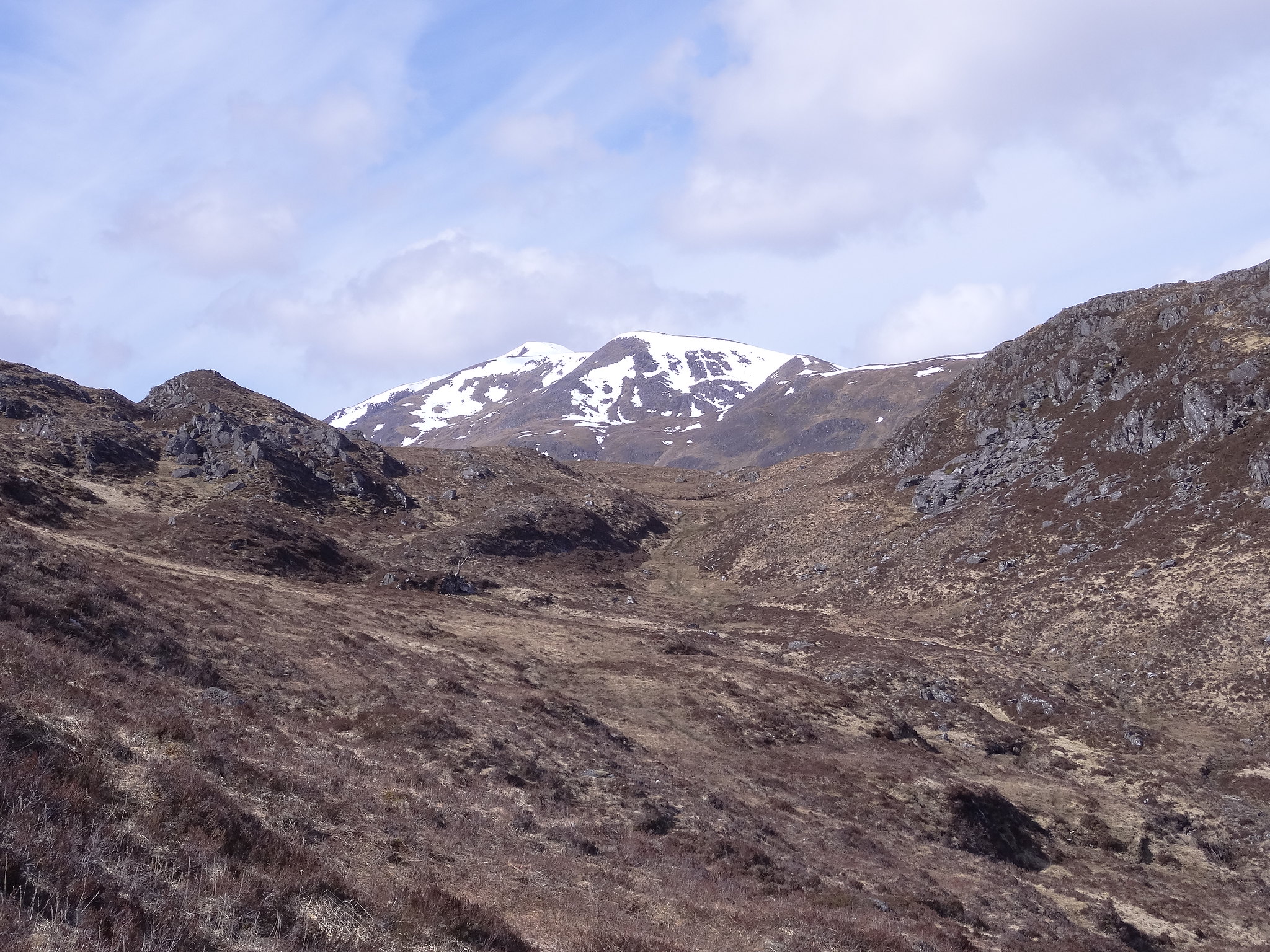
thankfully, it passed very quickly, we did have some views on this section, Rannoch Moor, Buchaille Etive Mor and our corbett from Monday.
 DSC01494
 by
Martin Hawer. Down to the ski centre.
 DSC01495
 by
Martin Hawer. Beinn a'Chrulaiste and ski paraphernalia.
 DSC01498
 by
Martin Hawer. Getting higher.
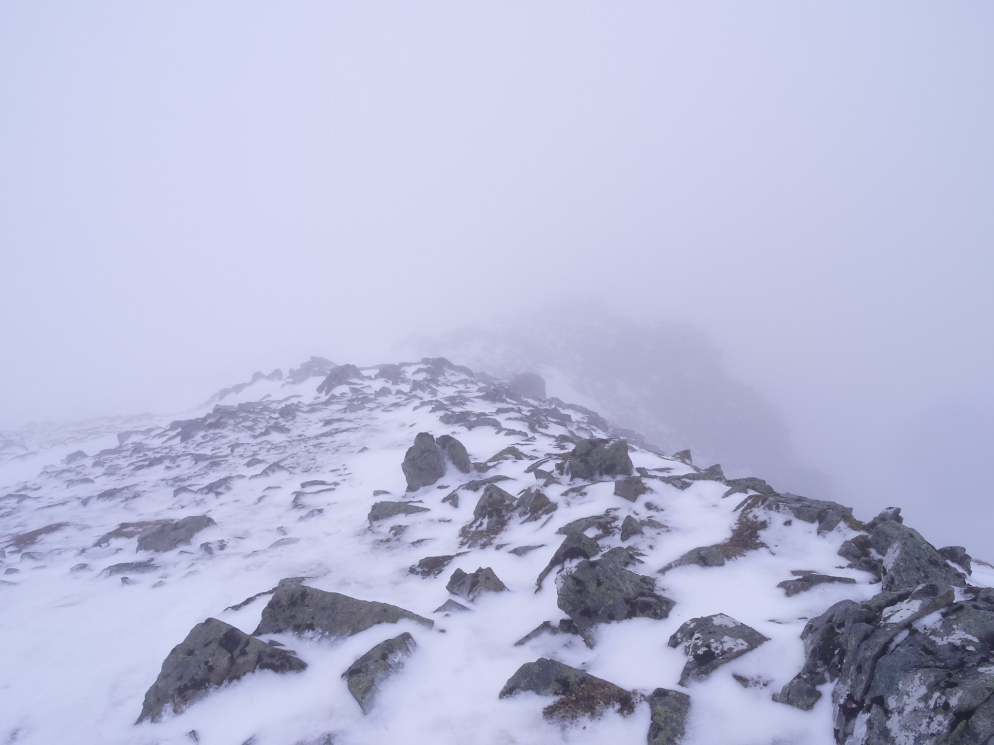
At the cafe and huts above the ski centre we could see the final ski tow disappearing into the clag, I suppose this munro is ideal to do in such conditions, by this time we'd reached the snow line and the wind was becoming stronger and stronger.
Using the tow as a handrail we plodded on nice and steady, the towers for the tow came into view one after the other, and as we passed them they disappeared into the mist, the winding hut and the mast near the summit started to appear, as we got nearer the wind got stronger and once at the lttle hut near the mast we were met by the strongest wind I've ever witnessed in the mountains, strong enough to make progress a bit risky.

After a quick debate we decided to get to the summit and decide wether to carry on when we got there, the wind was gusting so strong we had to get low and nearly crawl to the summit cairn.

 DSC01499
 by
Martin Hawer A windblown Denise on the summit.
 DSC01500
 by
Martin Hawe. Summit views.
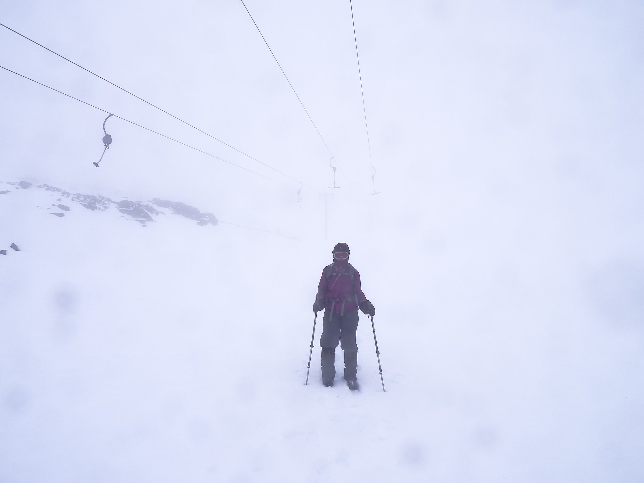
We had more or less convinced ourselves not to go onto Creise but I had a little foray onto the connecting ridge and was nearly lifted off my feet, that made the decision for me, I weigh 13.5 stones Denise only 8st 10lbs she wasn't having any of it and I didn't blame her, Creise is going to have to wait for a better day so I turned round collected Denise and set off back to the mast.
We beat a hasty retreat following the tow, not far down it started snowing and driven by the wind it soon became unpleasant.
 DSC01502
 by
Martin Hawer Not nice.
 DSC01503
 by
Martin Hawer White out.
 DSC01504
 by
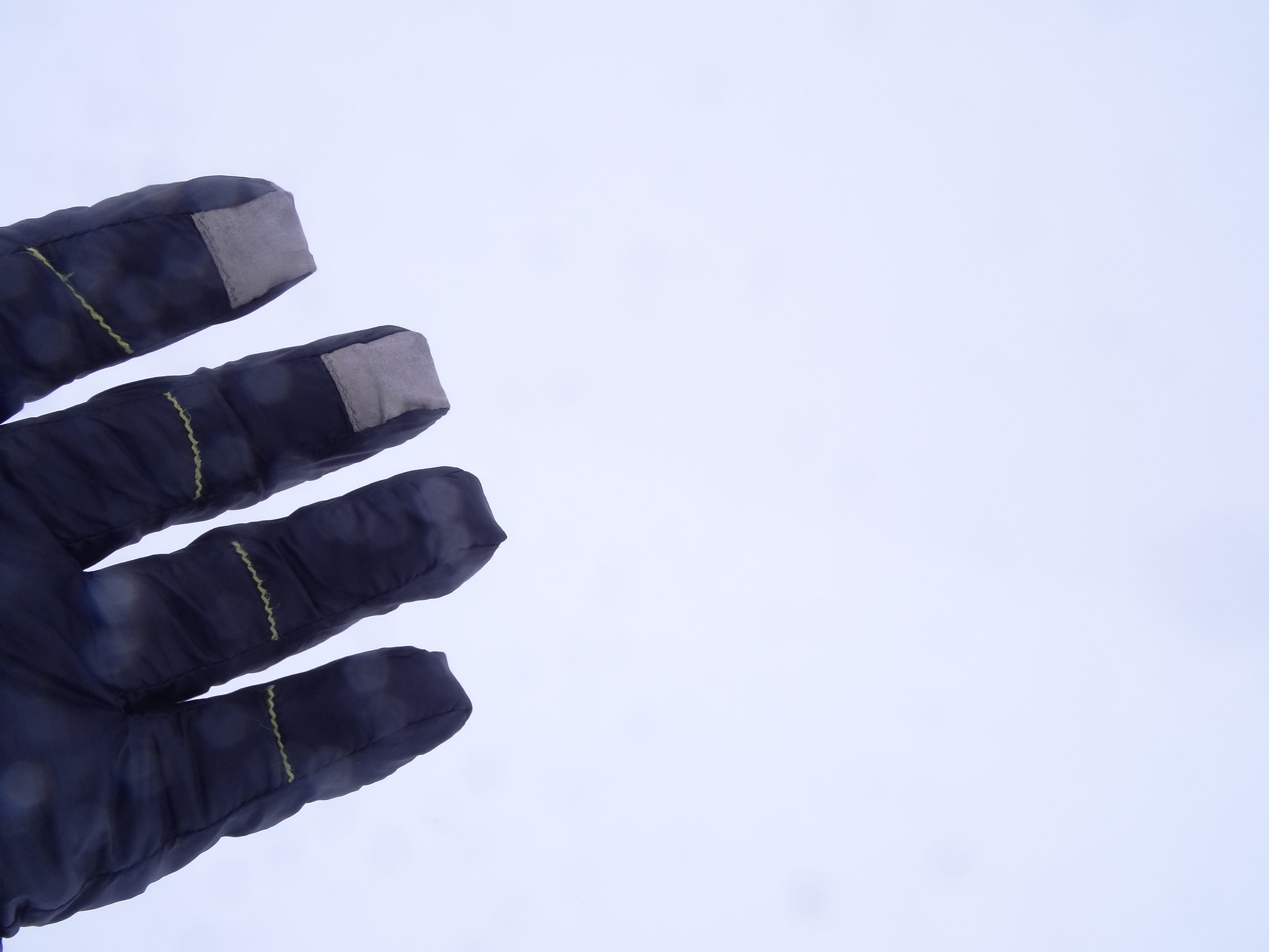
Martin Hawer Glove, hillside and sky.
 DSC01505
 by
Martin Hawer Going down................!
Back at the halfway cafe the snow had turned to rain, by the time we'd reached the car we were getting soaked.
Well, we'd managed to break the munro duck on this holiday, not the two we wanted but discretion being the better part of valour I think we made the right decision to go down after the first.
Thursday 5/5/16
Beinn Achaladair and
Beinn a'Chreachain
1245m ascent
19 km
8.5 hrs
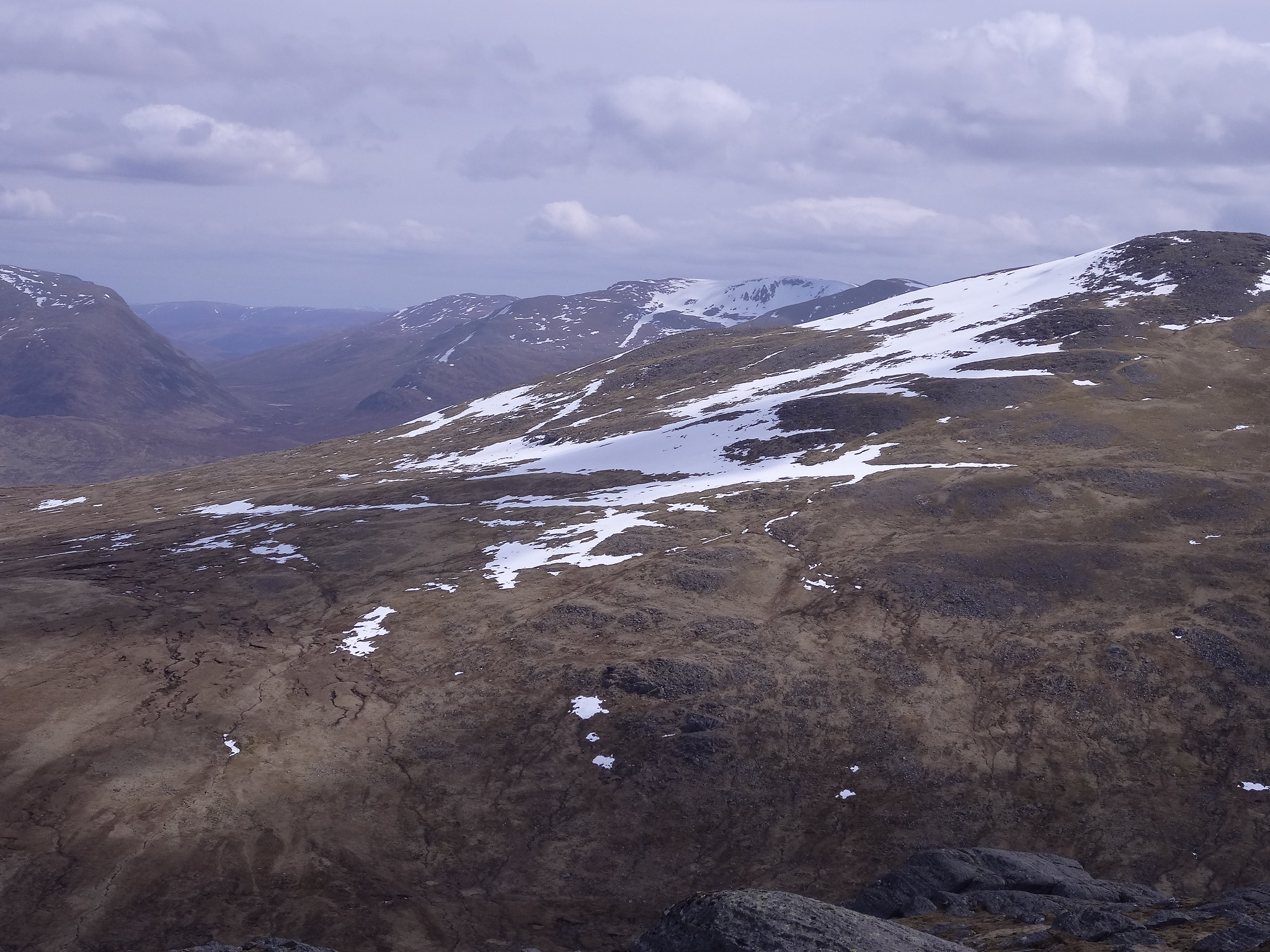
The forecast for Thursday was promising to say the least, predicting high cloud with a small threat of showers was more than we'd hoped for considering the way the forecast was going at the start of the week, the only fly in the ointment was the persistant wind with strong gusts upto 50mph.
I'd looked at these two many times both on the map and on the way through Glencoe, read people's reports, the description and it looked like a great day out so, today, we'd have a go.
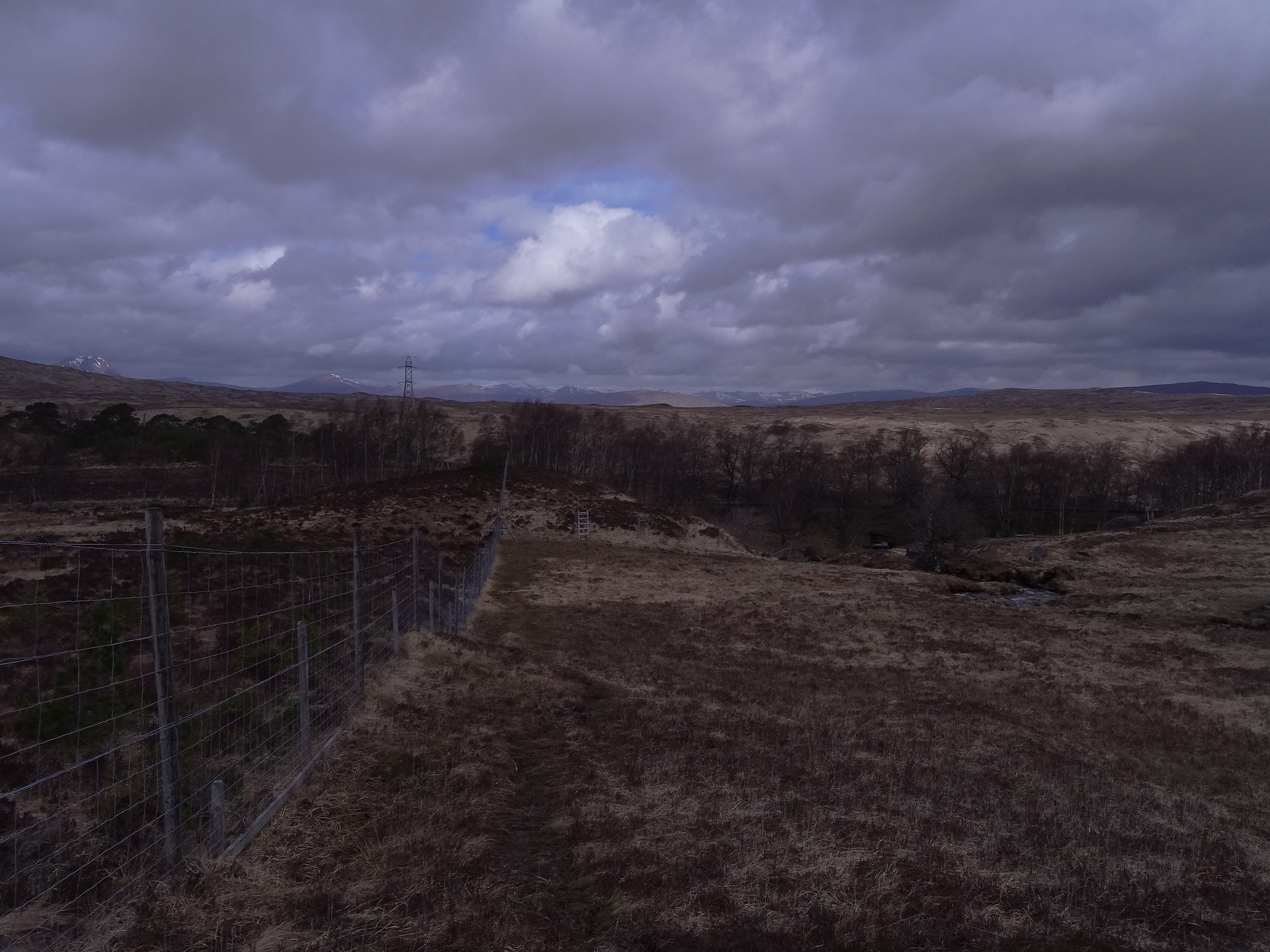
We parked the car in the new walkers carpark, plenty of space as we were the only ones there, got ready and set off towards the farm at Achallader
We went straight on through the old carpark through a gate and alongside a wall on a well made farm track. This was easy going and good progress was made. When we arrived at the bridge below the ruined Tom nan Grodh we decided to take the marshy track on the south side of the river, rightly or wrongly we anticipated the river crossing at the tumbledown bridge might be troublesome considering the amount of rain and snowmelt so better safe than sorry.

This litte track is not bad at all and is waymarked with little yellow arrow pointers, it's a bit overgrown in parts and through the forest it's a bit tricky following the path but it's much drier than we'd hoped for.
This track emerges from the trees over a stile in the deer fence just a little way above the underpass, it had taken two hours so how that compares with the track I'm not sure but at least we were on the right side of the river.
We turned right here following the fence on a good path with a steady gradient. Following the burn we stopped every now and again to admire the waterfalls.
 DSC01506
 by
Martin Hawer, Looking down the deer fence to the railway underpass.
 DSC01507
 by
Martin Hawer, Beinn Achaladair.
 DSC01508
 by
Martin Hawer Beinn a'Chreachain.
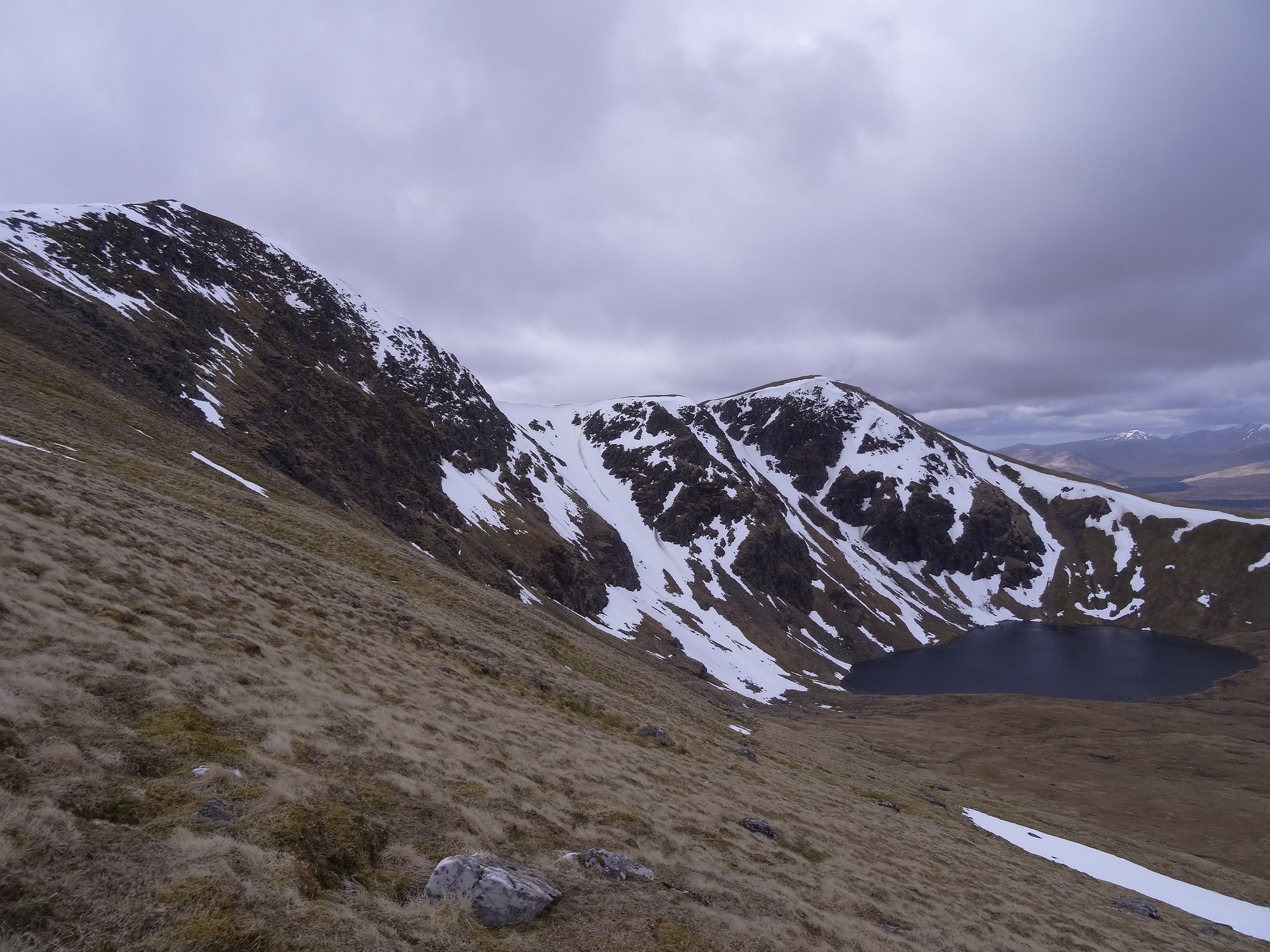
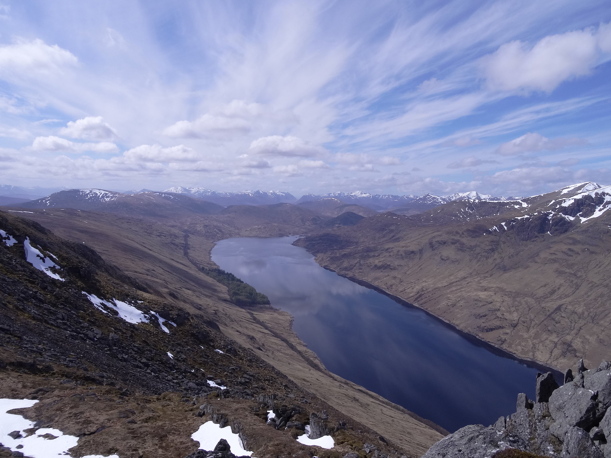
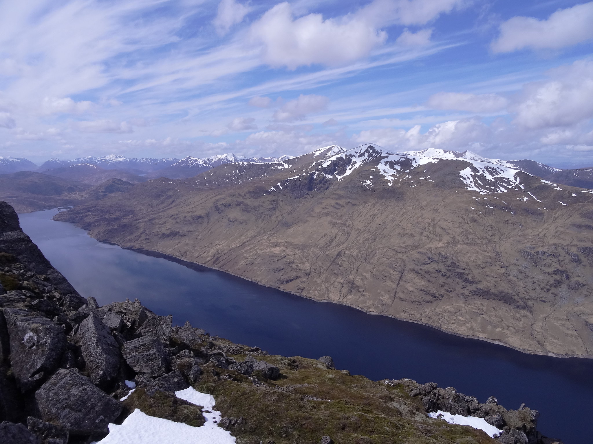
We crossed the burn just shy of Lochan a'Chreachan and headed for the shallow bealach below the summit of Beinn a'Chreachain to the east of the lochan.
 DSC01509
 by
Martin Hawer Looking down on lochan a'Chreachain.
 DSC01510
 by
Martin Hawer.
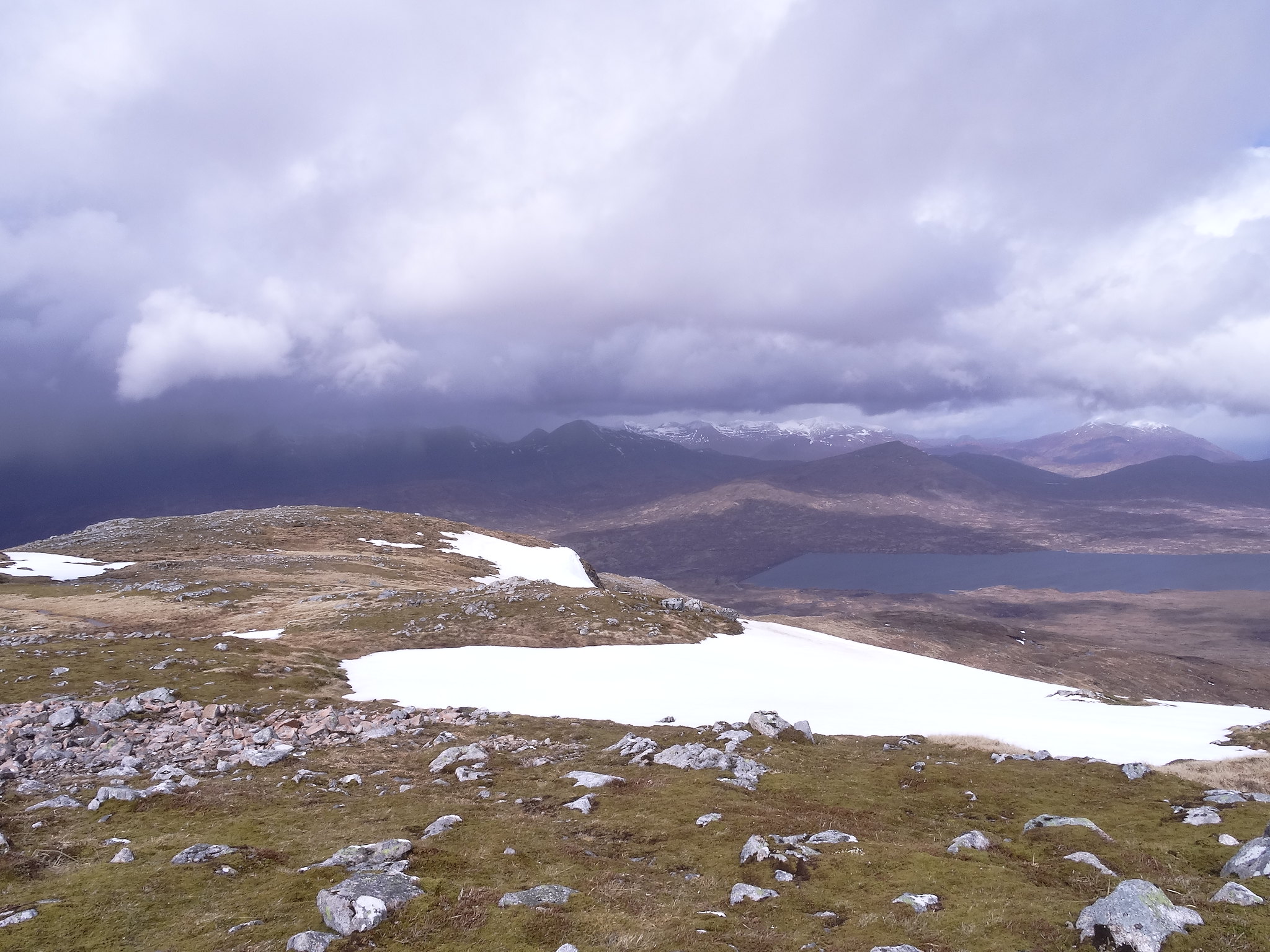
The walk to the summit was pleasant from here, we crossed a large patch of snow on the way up which was soft and easy going, good job really as we'd elected to leave the iceaxes in the car and rely on the poles, the wind was strong here so we took it steady.
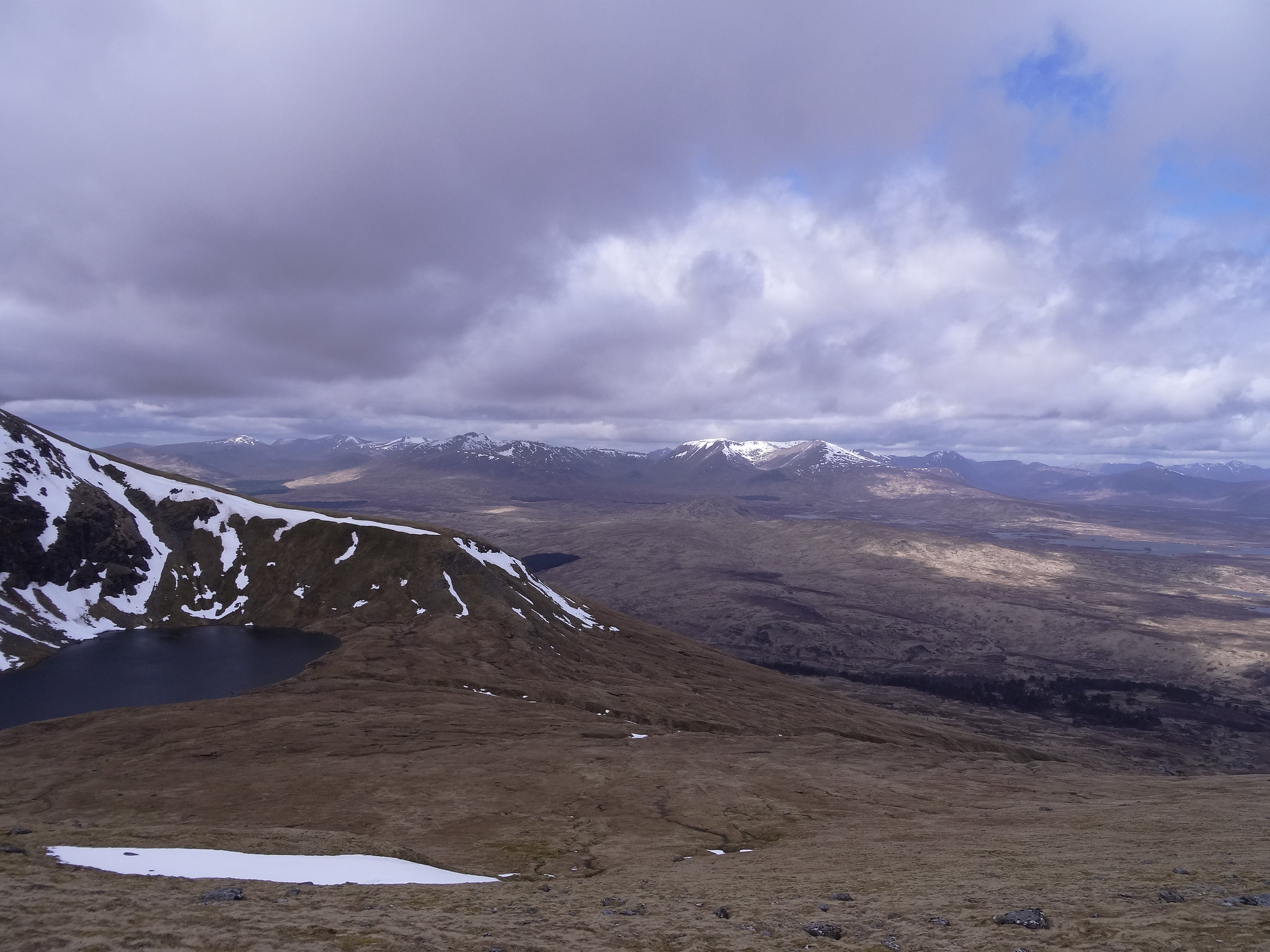
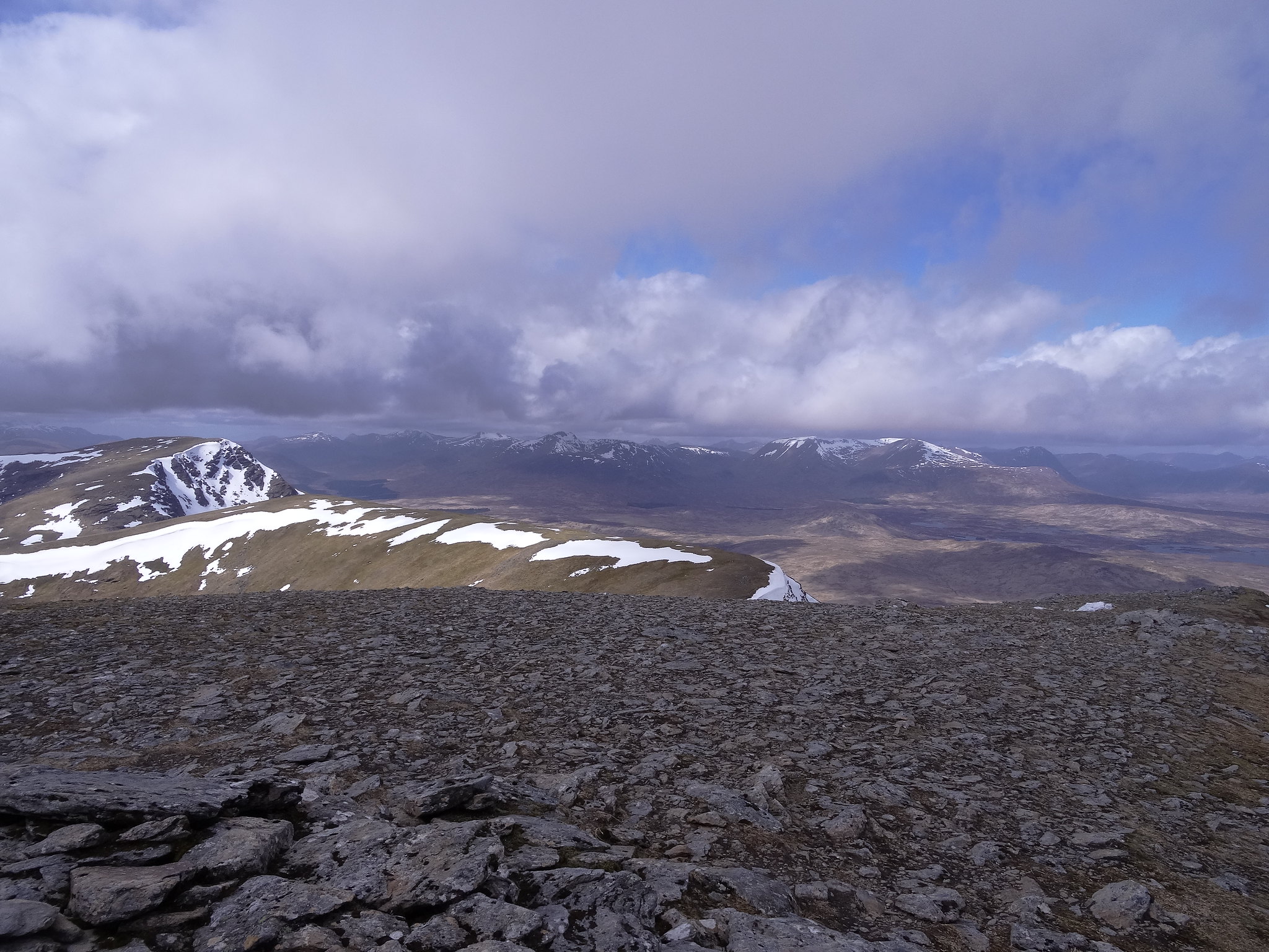
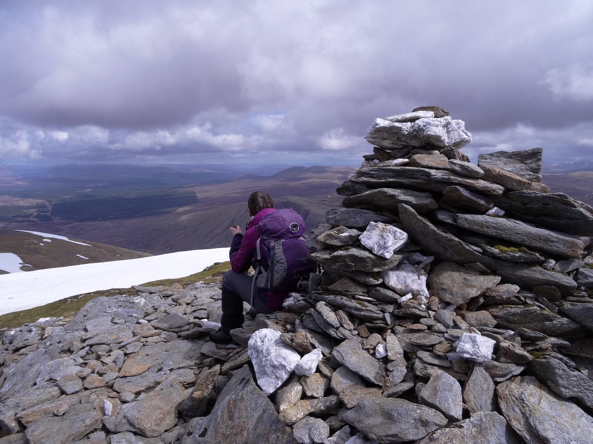
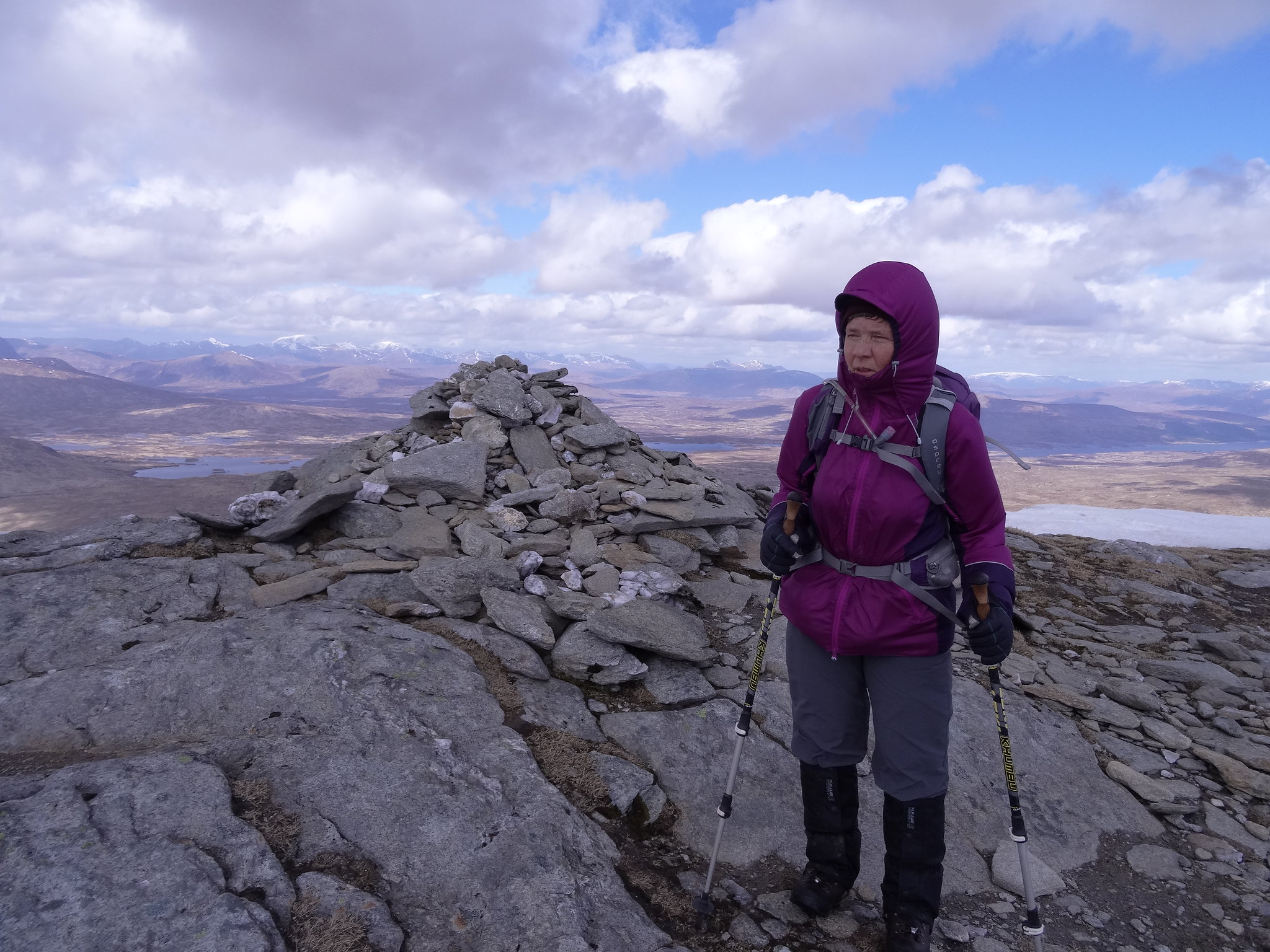
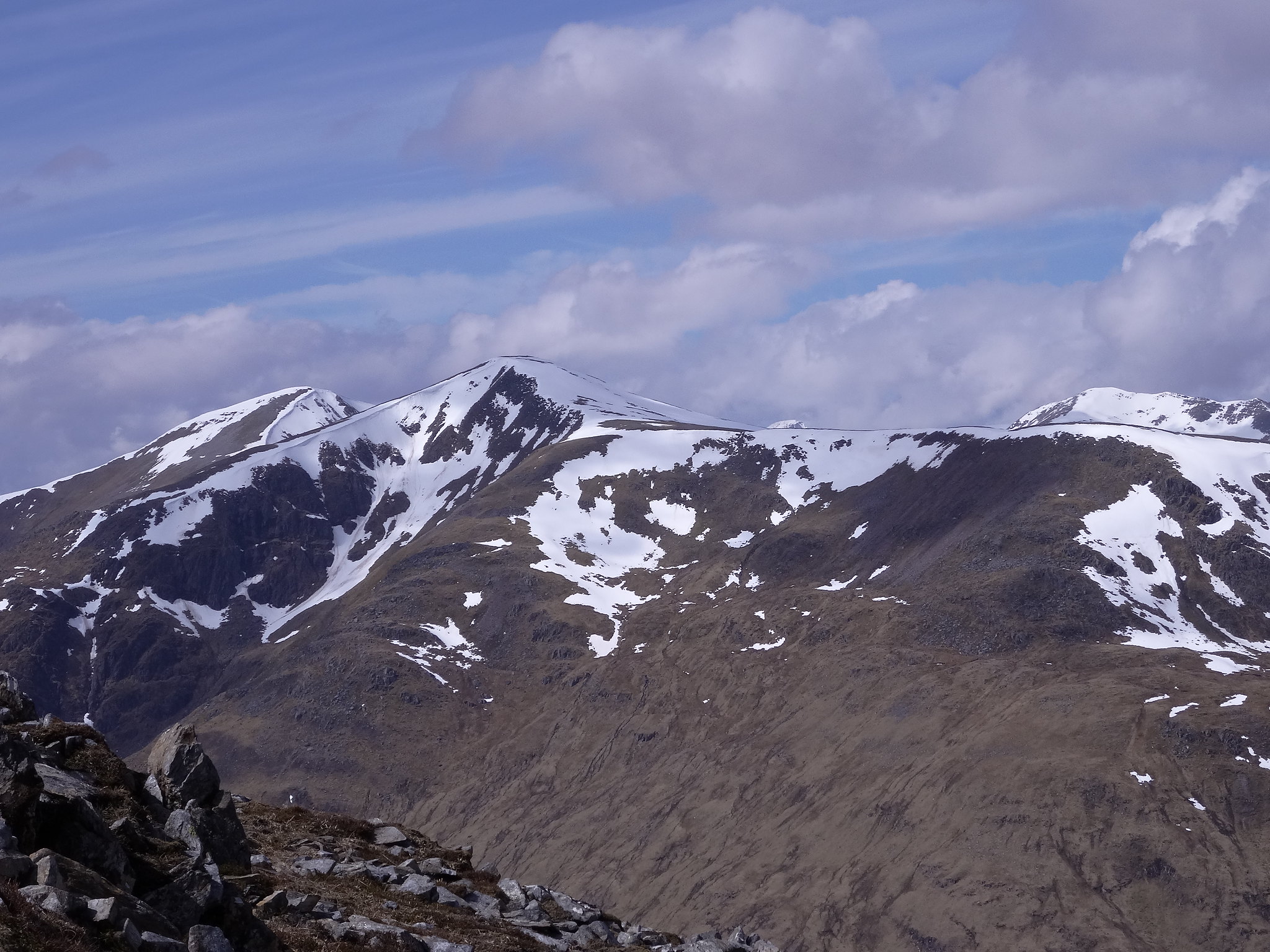
At the summit we got the views, really good views, making the effort well worth it,
the wind was very strong and a bit troublesome so we had a quick bite, took a couple of photos's and then set off for Beinn Achaladair.
 DSC01512
 by
Martin Hawer. On the summit.
 DSC01513
 by
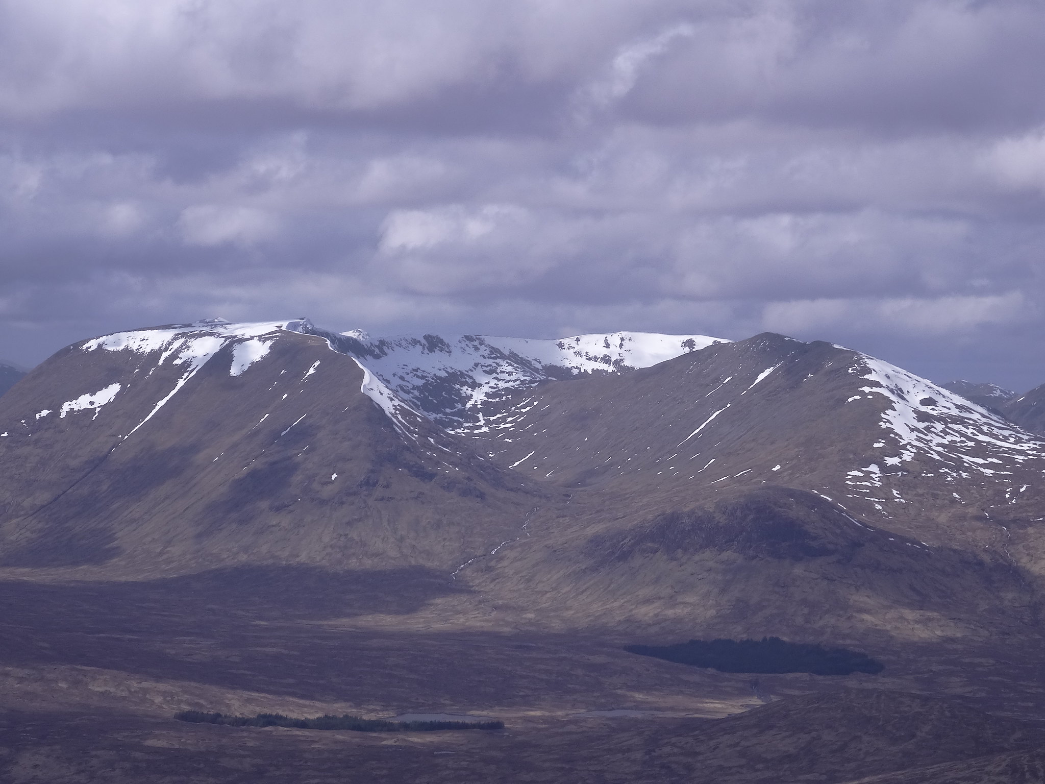
Martin Hawer. Rannoch moor and Blackmount
 DSC01514
 by
Martin Hawer.
 DSC01515
 by
Martin Hawer,
 DSC01516
 by
Martin Hawer,
 DSC01517
 by
Martin Hawer.
 DSC01518
 by
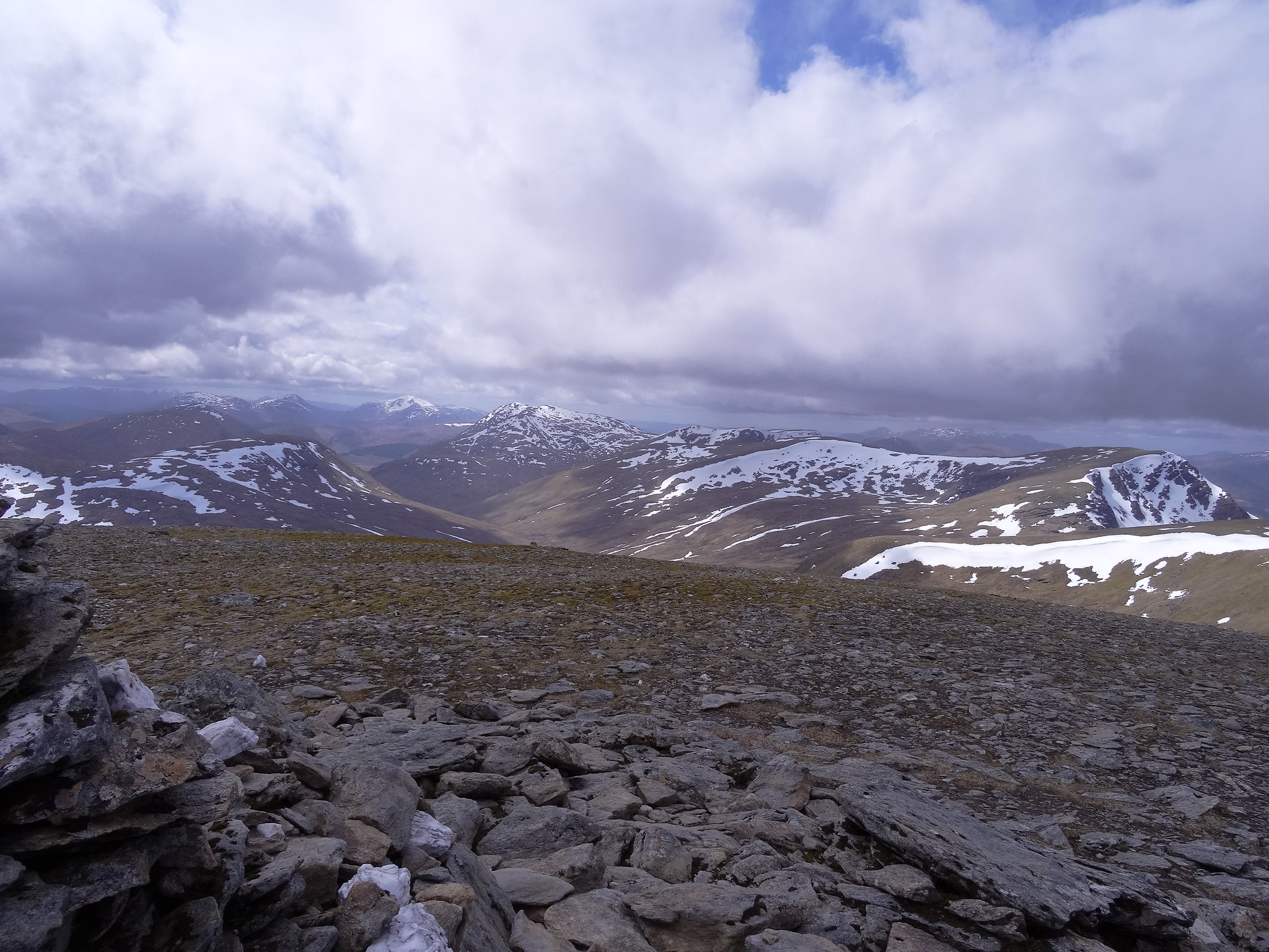
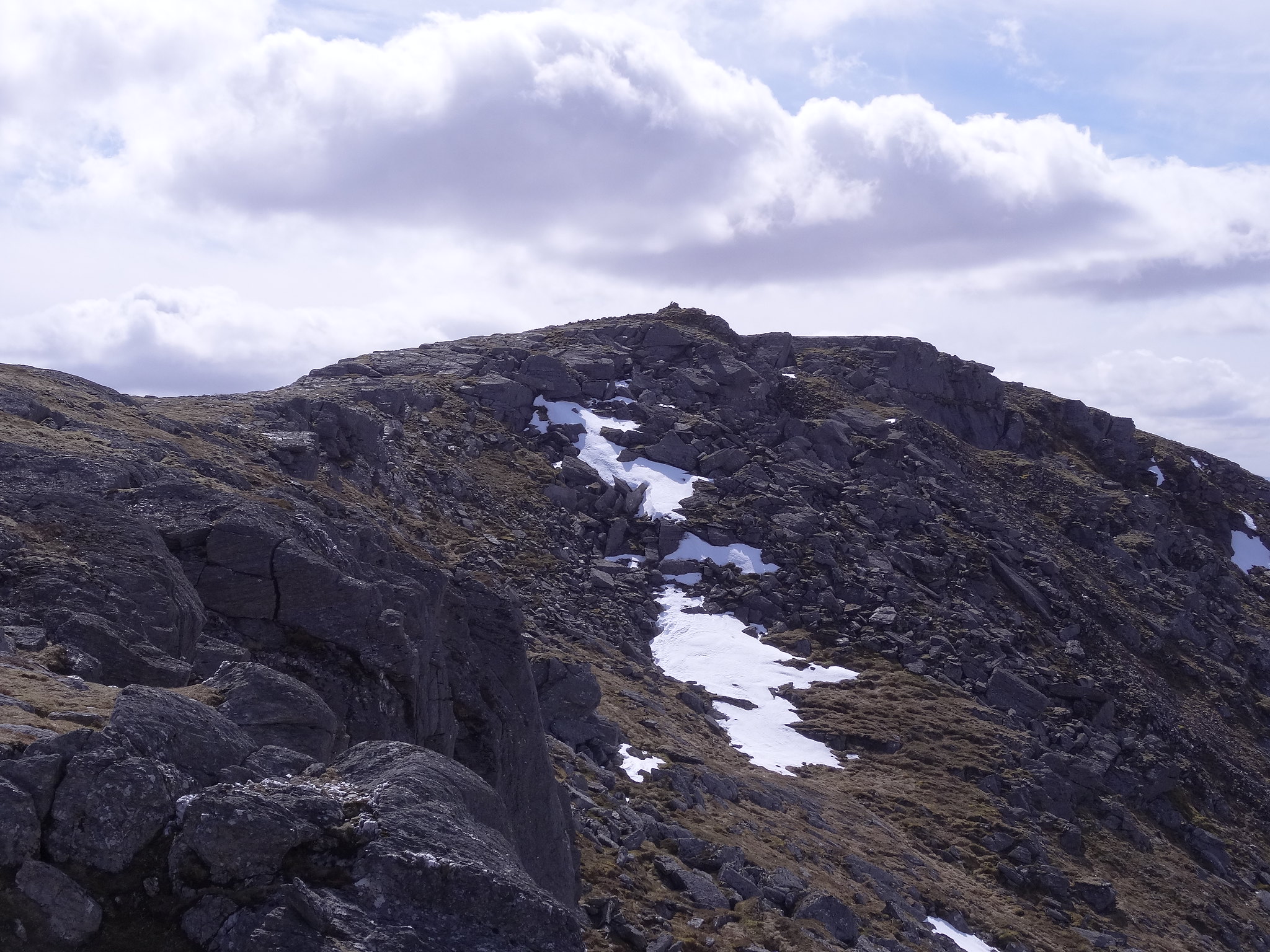
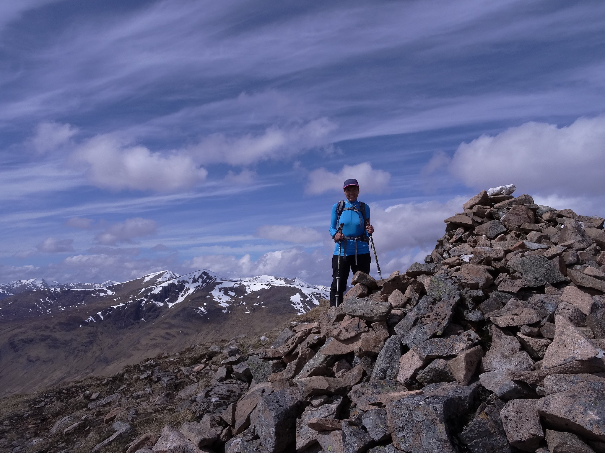
Martin HawerThe ridge over to Beinn Achaladair is a nice airy walk so long as you keep to the edge near the crags. Looking back we could see a figure on the summit of Beinn a'Chreachain and wondered which direction they'd come from as we'd seen nobody behind us on the way up.
In Bealach an Aoghlain we had a snack then started on the steep climb up to the summit. About half way up we were slowed down by an expance of snow which Denise was not sure about so we looked for a way around it, found nothing easier so retraced our steps to have a go at the snow. By this time the far off figure had become a much nearer figure and I said to Denise I was sure that looked like Jaxter of WH fame and as she got closer we recognised the hat and jacket and, sure enough, it was Jackie. She was on her fourth Munro of the day having got here via Beinn Dorain, Beinn Mhanach and Beinn a'chreachain,

We had a good natter before Jackie volunteered to try the snow out, we wished her well and said our goodbyes and off she went, it was good to meet you Jackie and hopefully we'll meet again on a munro somewhere, keep knocking them off and stay safe.
As it turned out the snow was soft enough and was good to cross.
Jackie made short work of the rest of the ascent, we took a bit longer, by the time we'd arrived at the summit of Beinn Achaladair she was long gone.
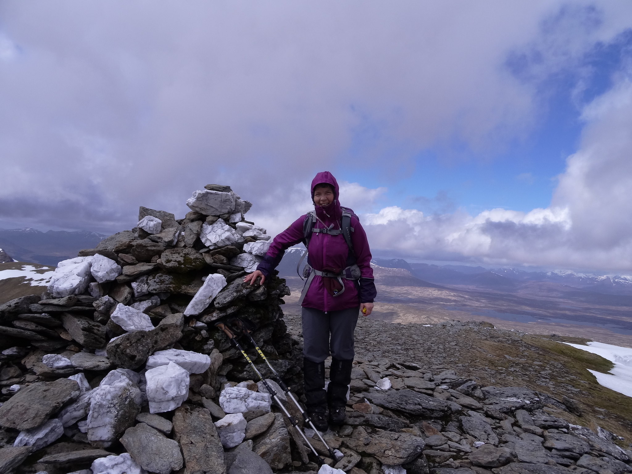
 DSC01519
 by
Martin Hawer. On the summit of Beinn Achaladair.
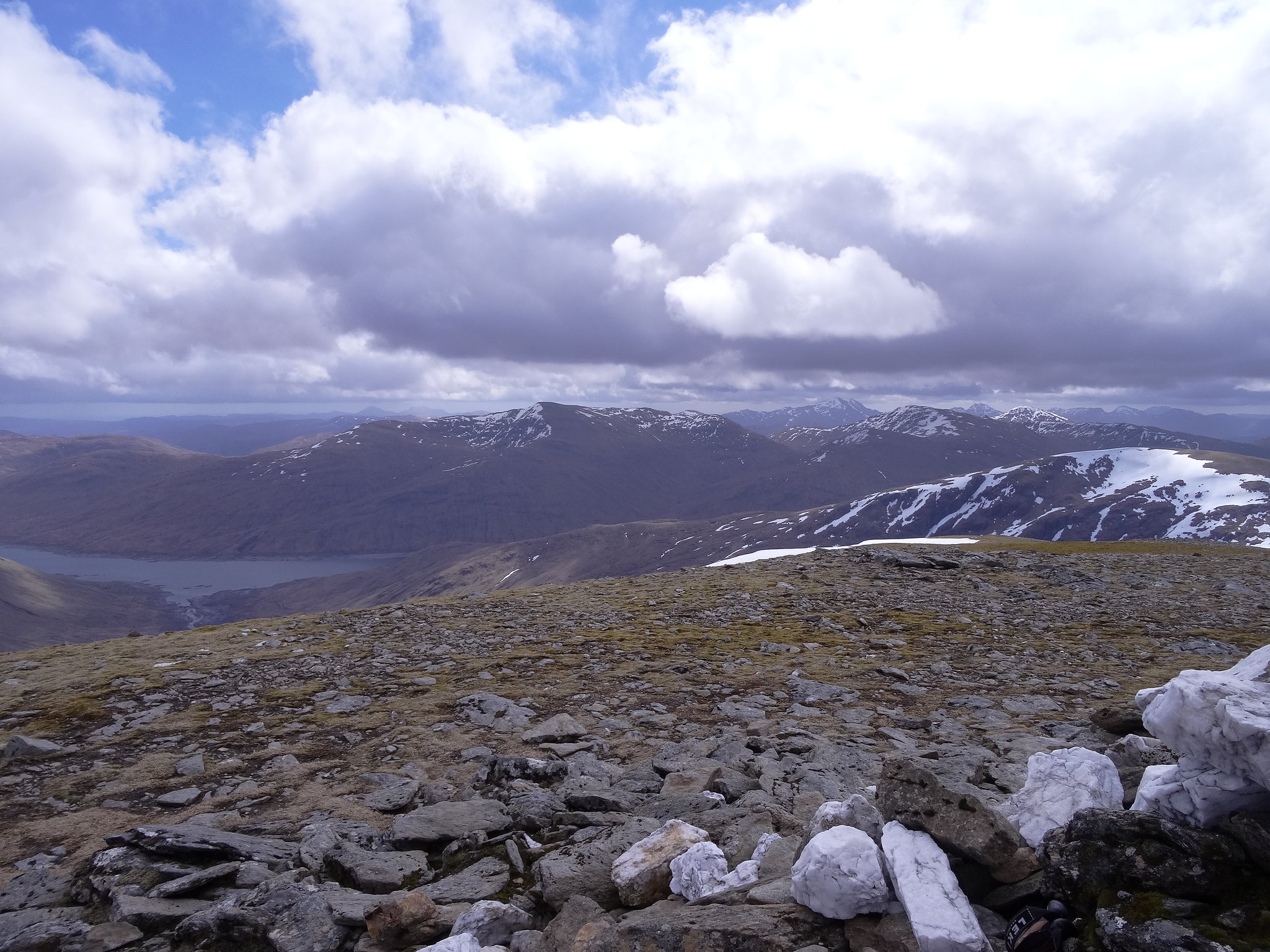
 DSC01520
 by
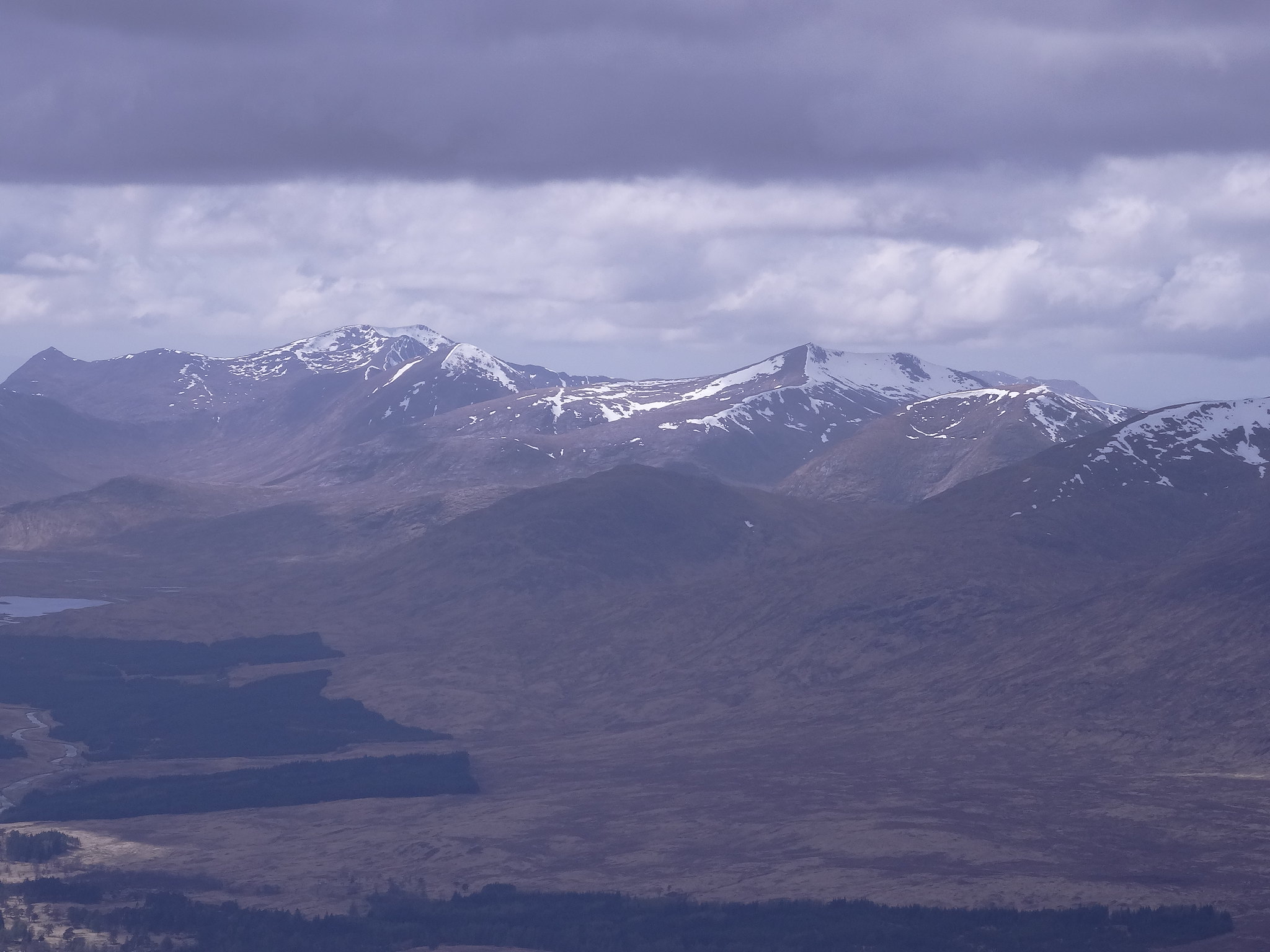
Martin Hawer. Views to the Blackmount.
 DSC01521
 by
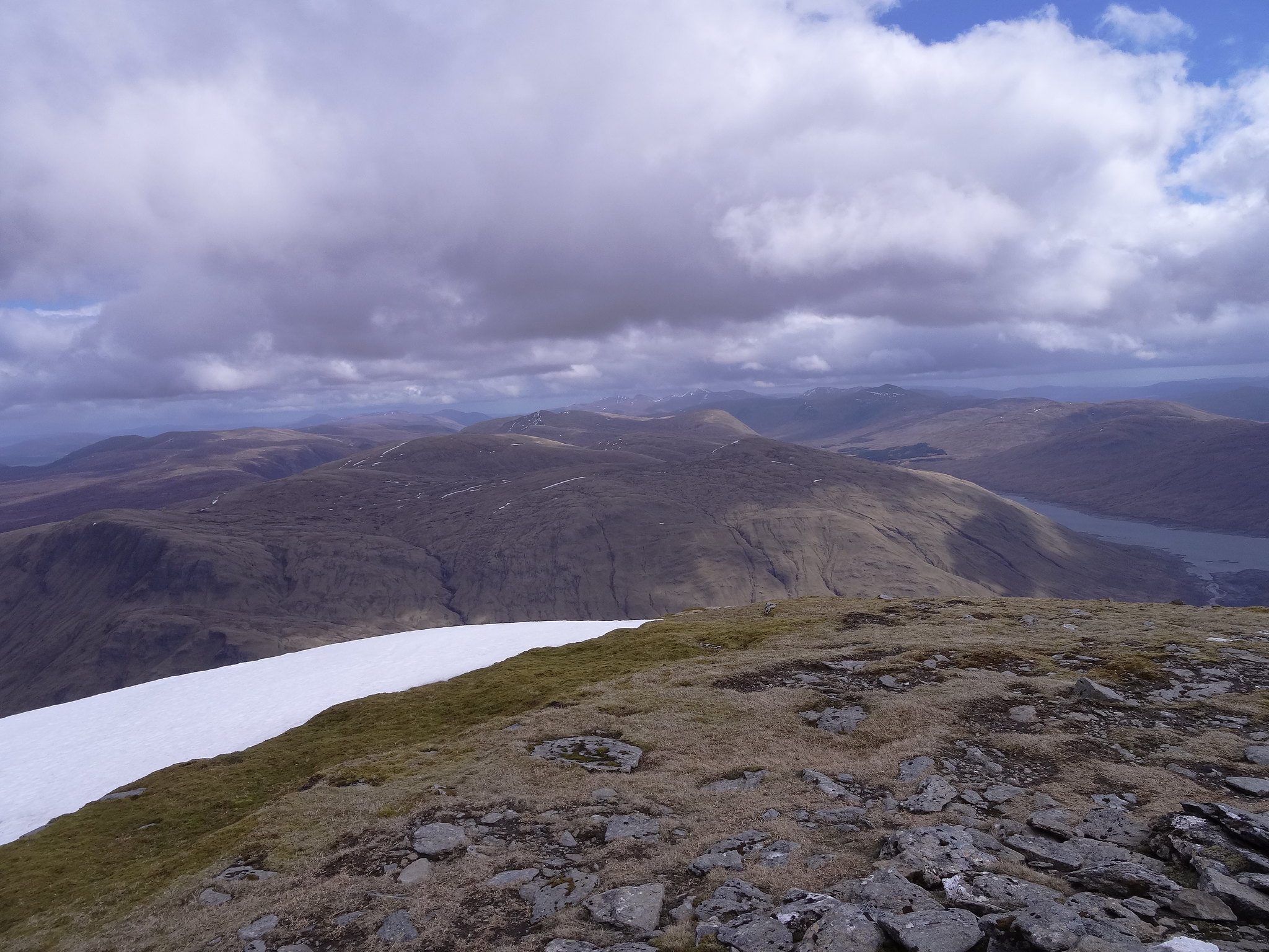
Martin Hawer.
 DSC01522
 by
Martin Hawer, Big Ben Nevis and Carn mor Dearg.
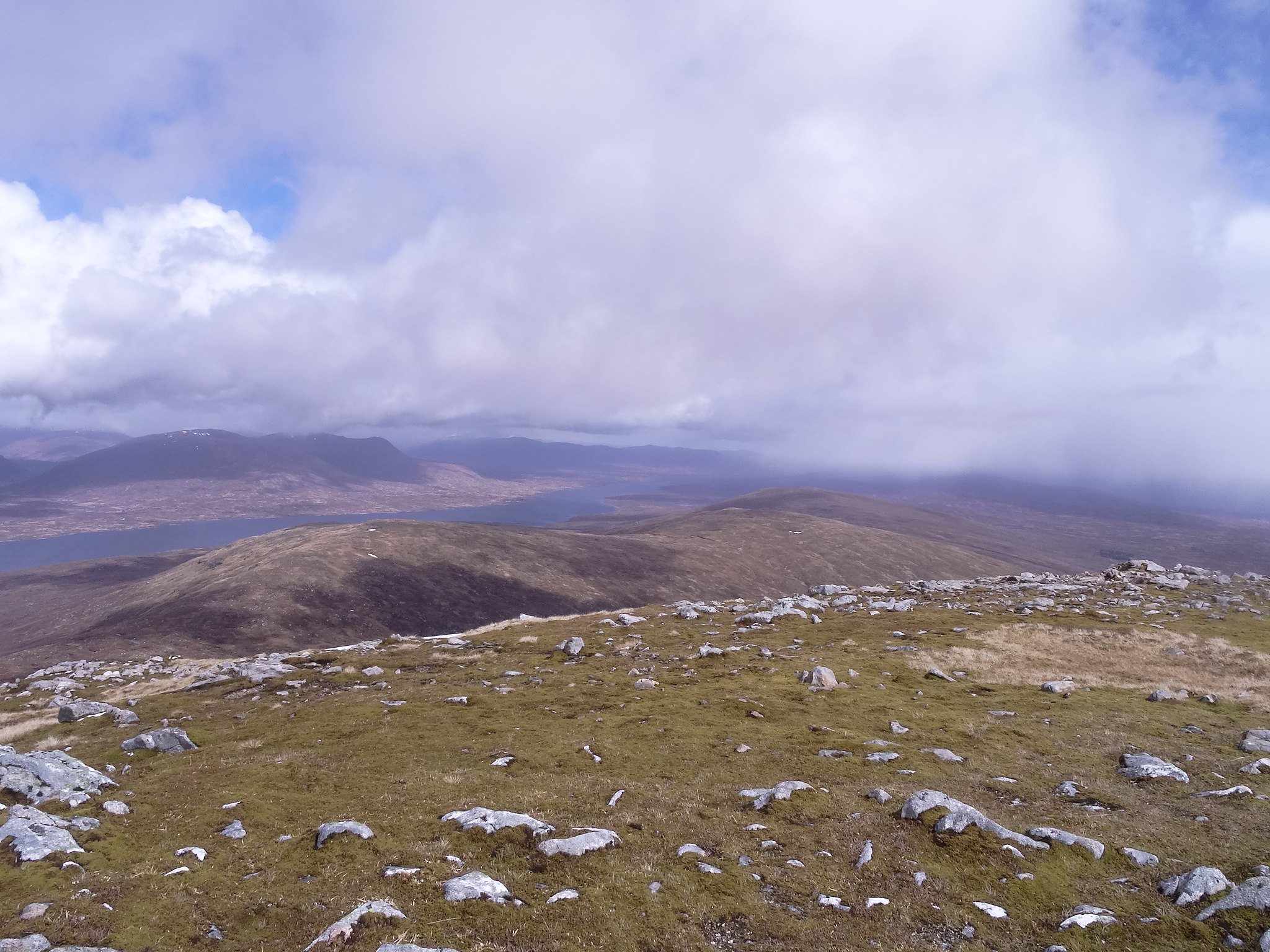
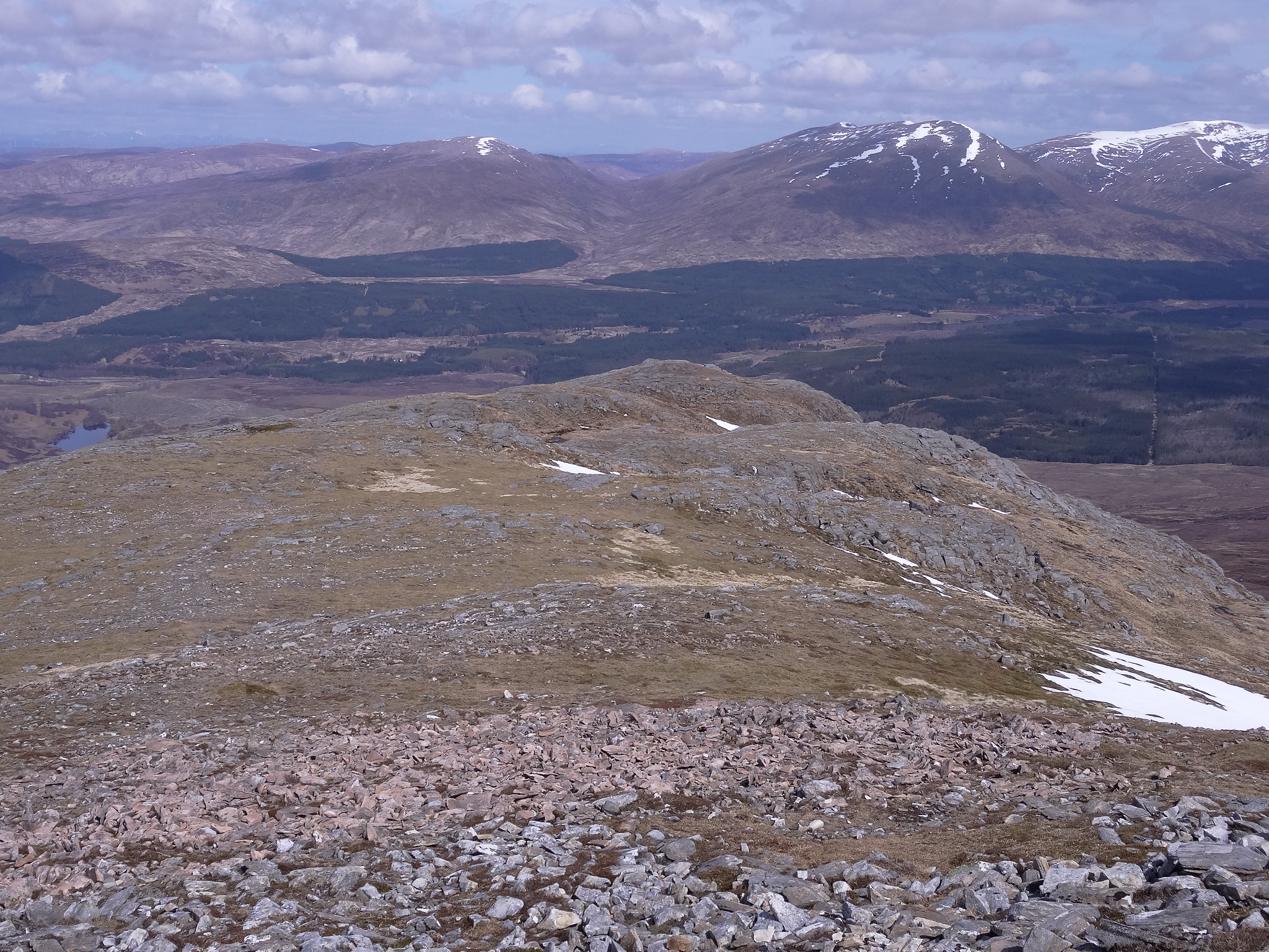
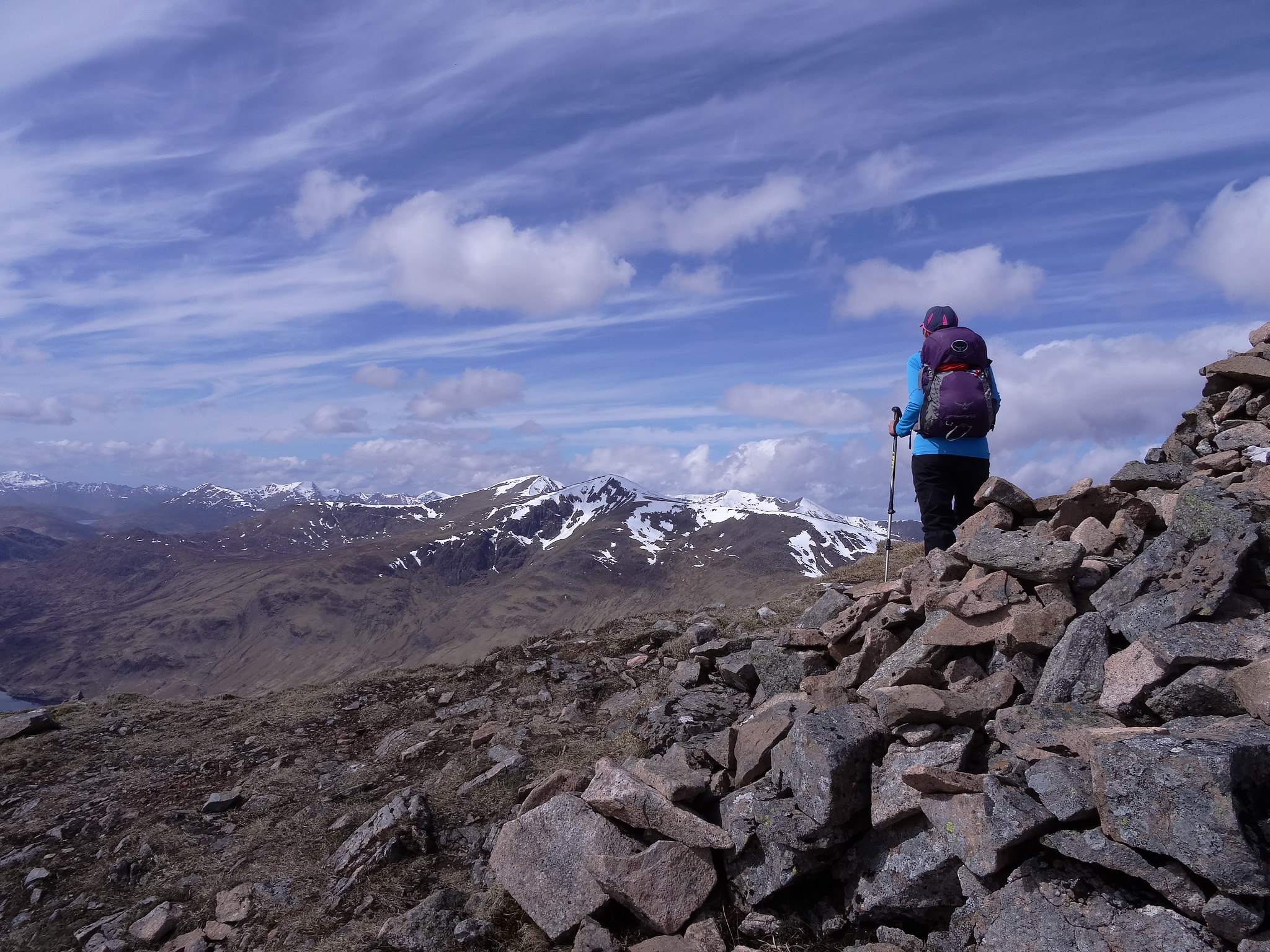
It was quite breezy on the top so we didn't stop long. From here we went down the south ridge to the Bealach below Beinn an Dothaidh, when we arrived we could see Jackie well on her way to her final summit, she made it look easy, I was knackered after two.

In the bealach we stopped and had some munchies, the sun was out now and we were sheltered, very pleasant and while we were sat there we watched jackie on her final few strides to the summit, ahh, youth, such a wonderful thing.
We set off down the path into Coire Daingean,
 DSC01523
 by
Martin Hawer, Looking back to the bealach.
This was very wet all the way down to the farm and took a fair bit of time in an attempt not to end up with wet bums, feet etc, we crossed the footbridge just above the farm and saw a makeshift sign directing us towards the carpark. This took us over wet grassland and seemed to take an age to get to the car.
We had had a really good day, even the wind hadn't dampened the spirit, I like these two mountains and thanks to Walkhighlands we got the chance to explore them.
Friday 6/5/16
Chno Dearg and
Stob Coire Sgriodain
915m Ascent
13.5km
6hrs
Friday was the best day of the week for weather so we decided to have a go at Chno Dearg and Stob Coire Sgriodain hoping they wouldn't take too long and we'd be back in time to get the cases and the car packed ready for the off on Saturday morning.
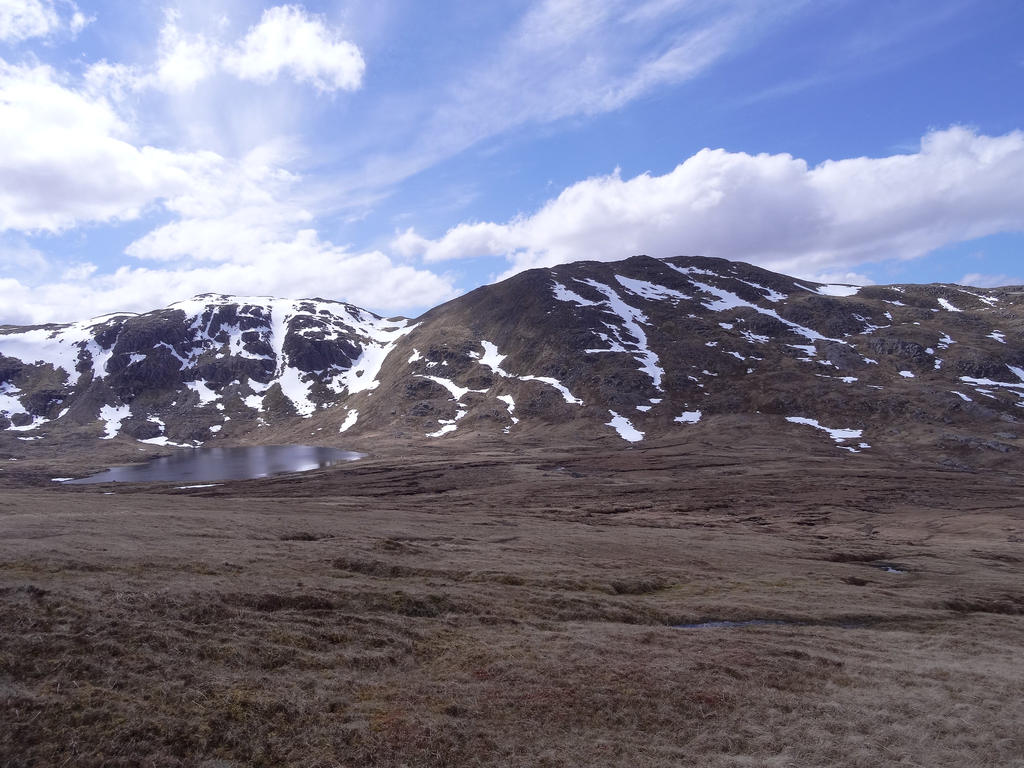
We were off in good time for the drive to Fersit, got ready and were off walking by 9.30. The initial climb up Stob Coire Sgriodain looked like hard work but the first hour or so was steady going over soggy ground. We opted to head for the shallow bealach between Sron na Garbh-bheinne and Meall Chaorach instead of the direct route.

 DSC01524
 by
Martin Hawer, The Bealach.
On the way we spotted a nice little gully around NN359758 heading in the right direction, this was a bit damp and steep but it was like a giant staircase and once on the ridge above, it was steady going all the way to the summit.
 DSC01525
 by
Martin Hawer, Looking back from the ridge to Glen Roy.
 DSC01526
 by
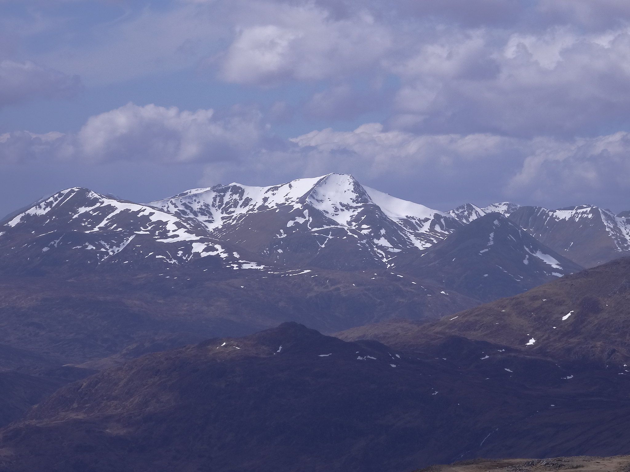
Martin Hawer Creag Meagaidh, right, Beinn a' Chaorainn, left.
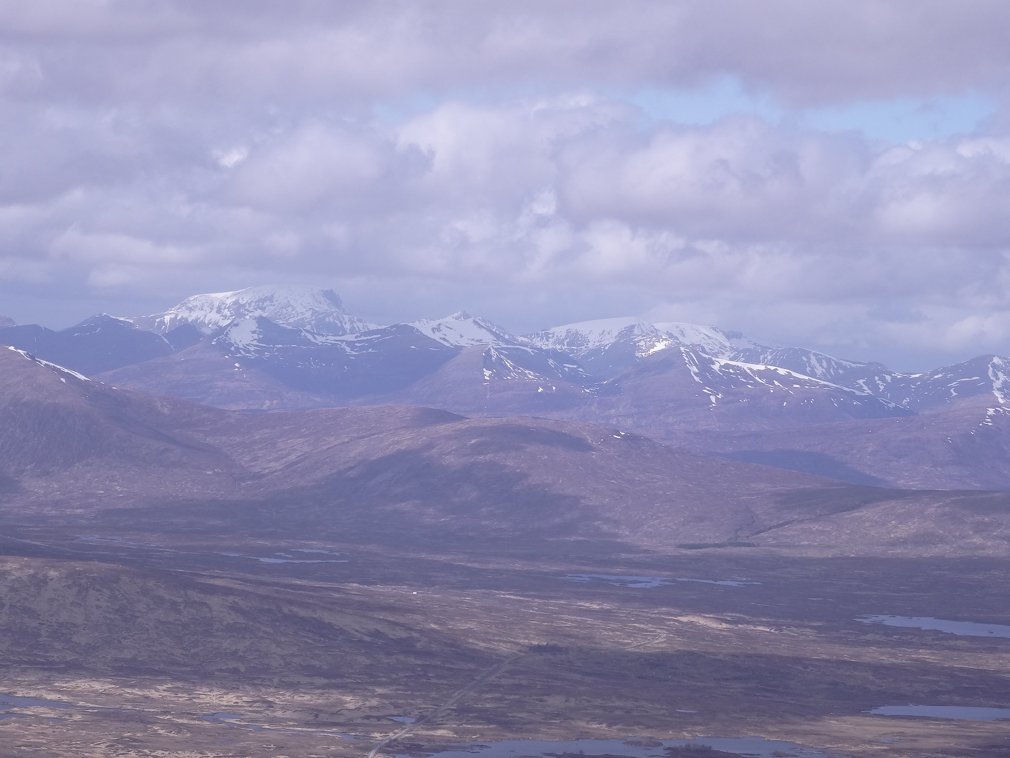
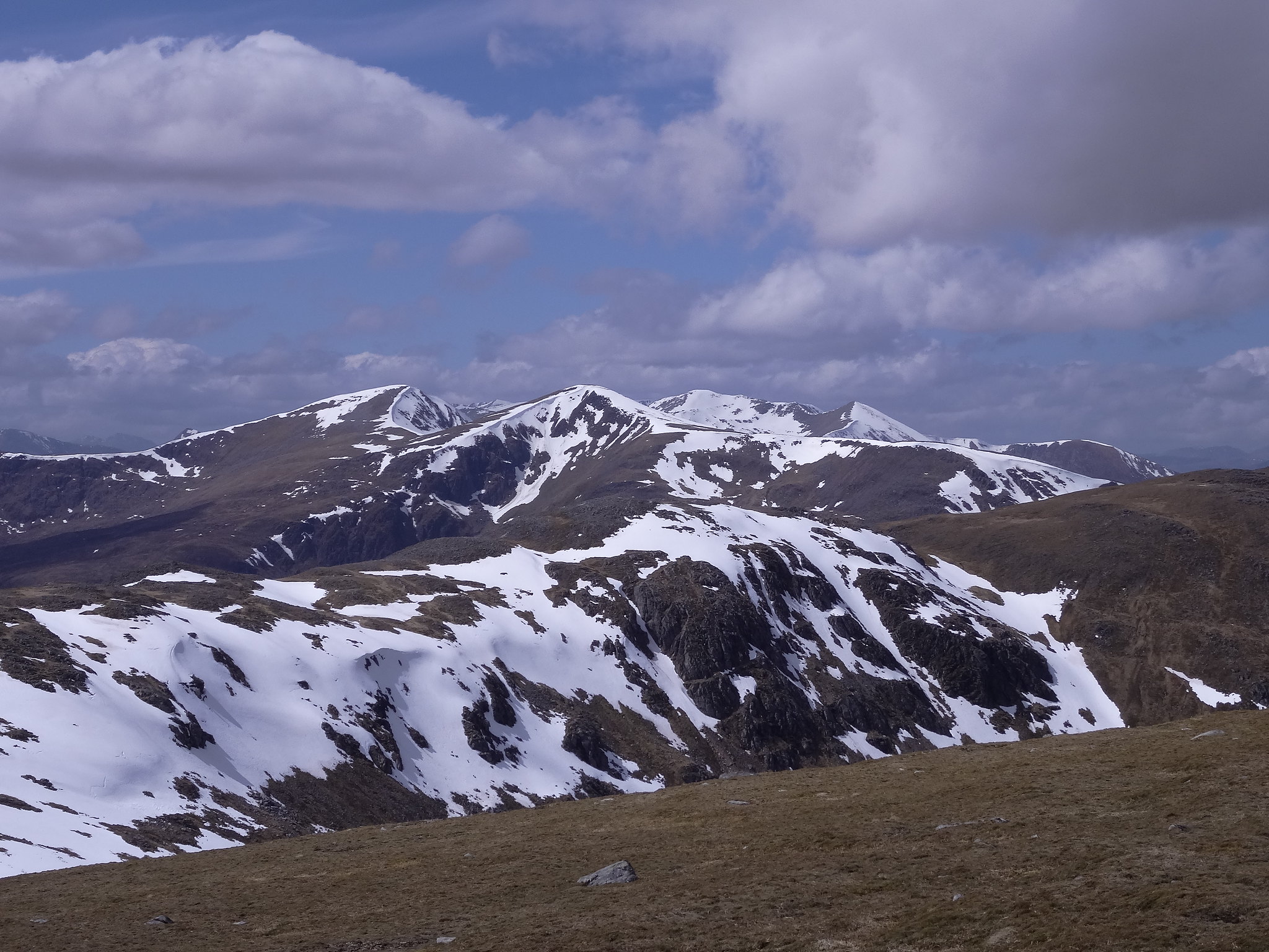
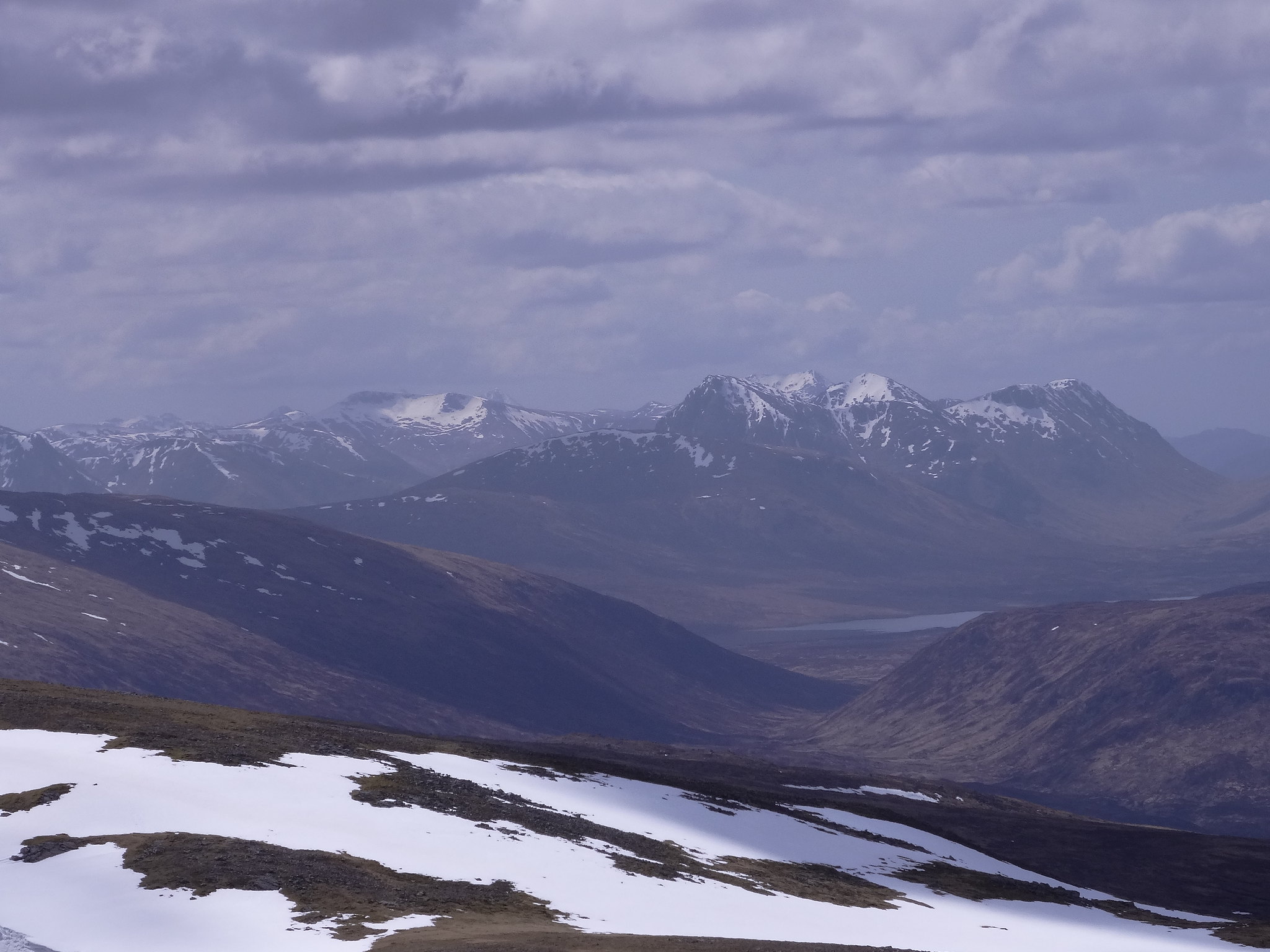
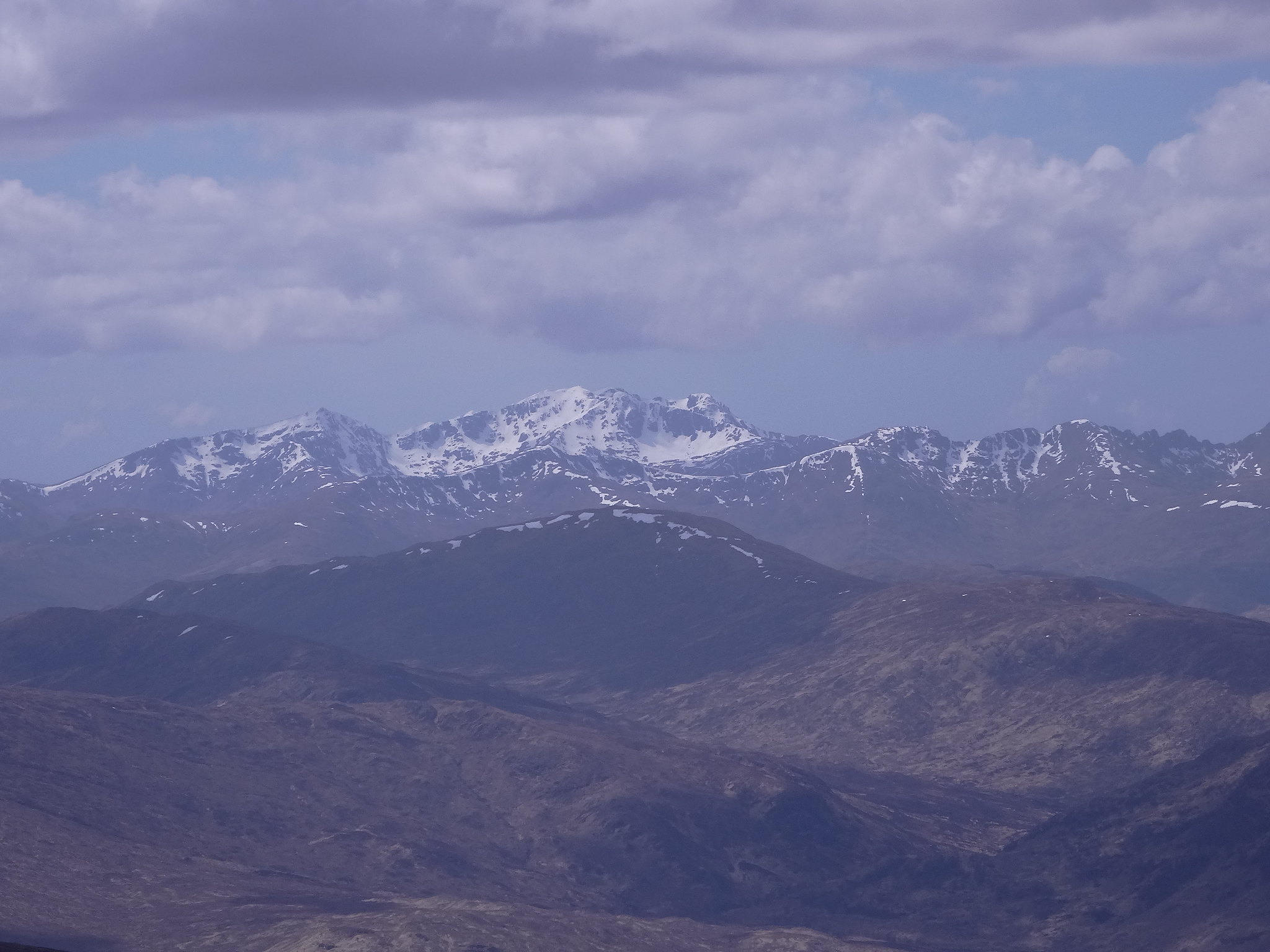
The views were superb with Easians looming large and the Grey Corries, Ben Nevis and the Mamores dominating.
 DSC01527
 by
Martin Hawer, The Easians.
 DSC01528
 by
Martin Hawer, Beinn a' Chaorainn, right, Beinn Teallach, left.
 DSC01529
 by
Martin Hawer, Loch Treig.
 DSC01530
 by
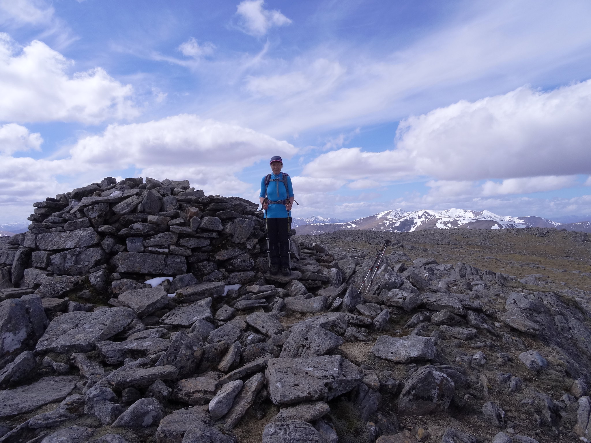
Martin Hawer, That's the summit, that is.
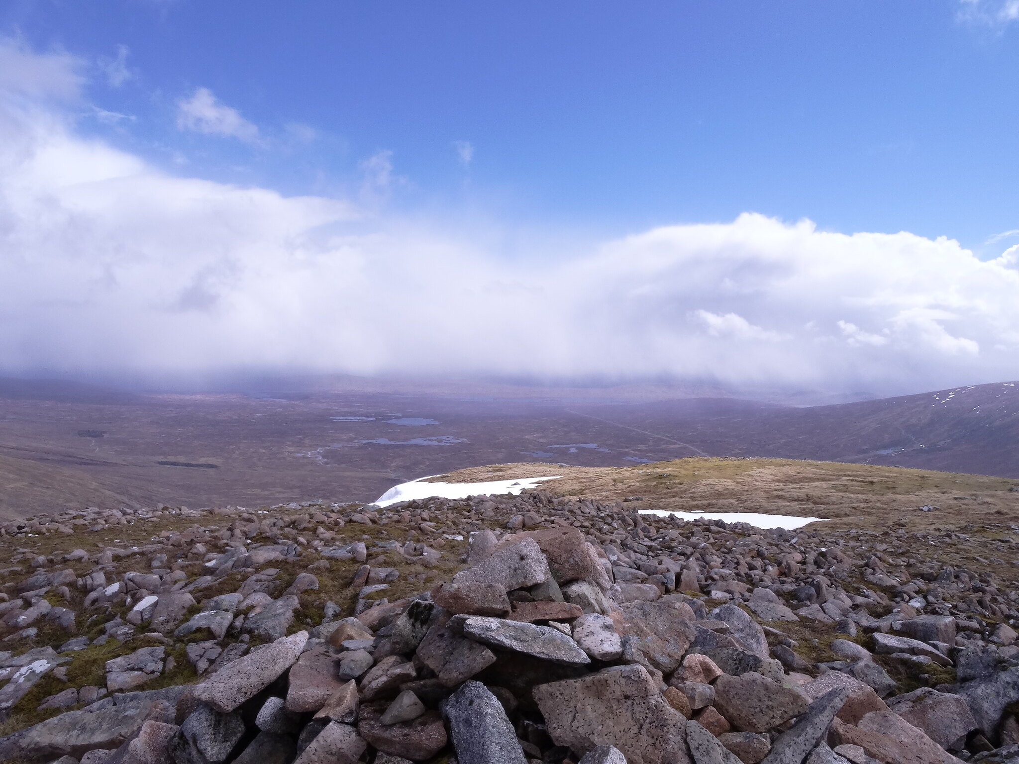
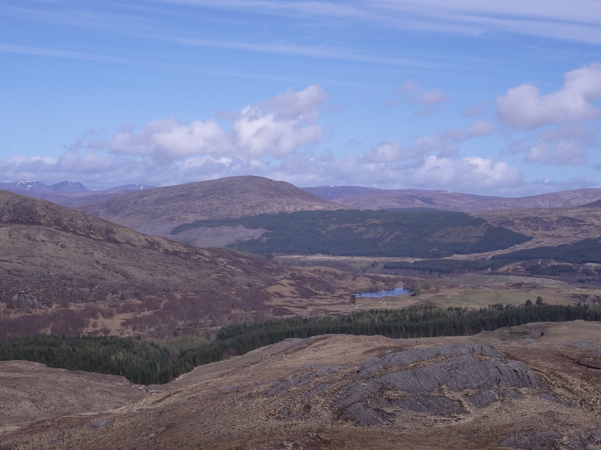
The summit is a grand viewpoint, we could see most of the mountains we'd climbed last June, it was good to see so many hills we'd been to the top of so close together, it also showed how many we still had to climb, bloomin' loads, so plenty more holidays for the future.
 DSC01531
 by
Martin Hawer, The summit.
 DSC01532
 by
Martin Hawer, Summit views.
 DSC01533
 by
Martin Hawer, Loch Treig and the Easians.
 DSC01534
 by
Martin Hawer, Chno Dearg from Stob Coire Sgriodain.
 DSC01535
 by
Martin Hawer, I think this is looking in the Ben Alder direction.
 DSC01536
 by
Martin Hawer,
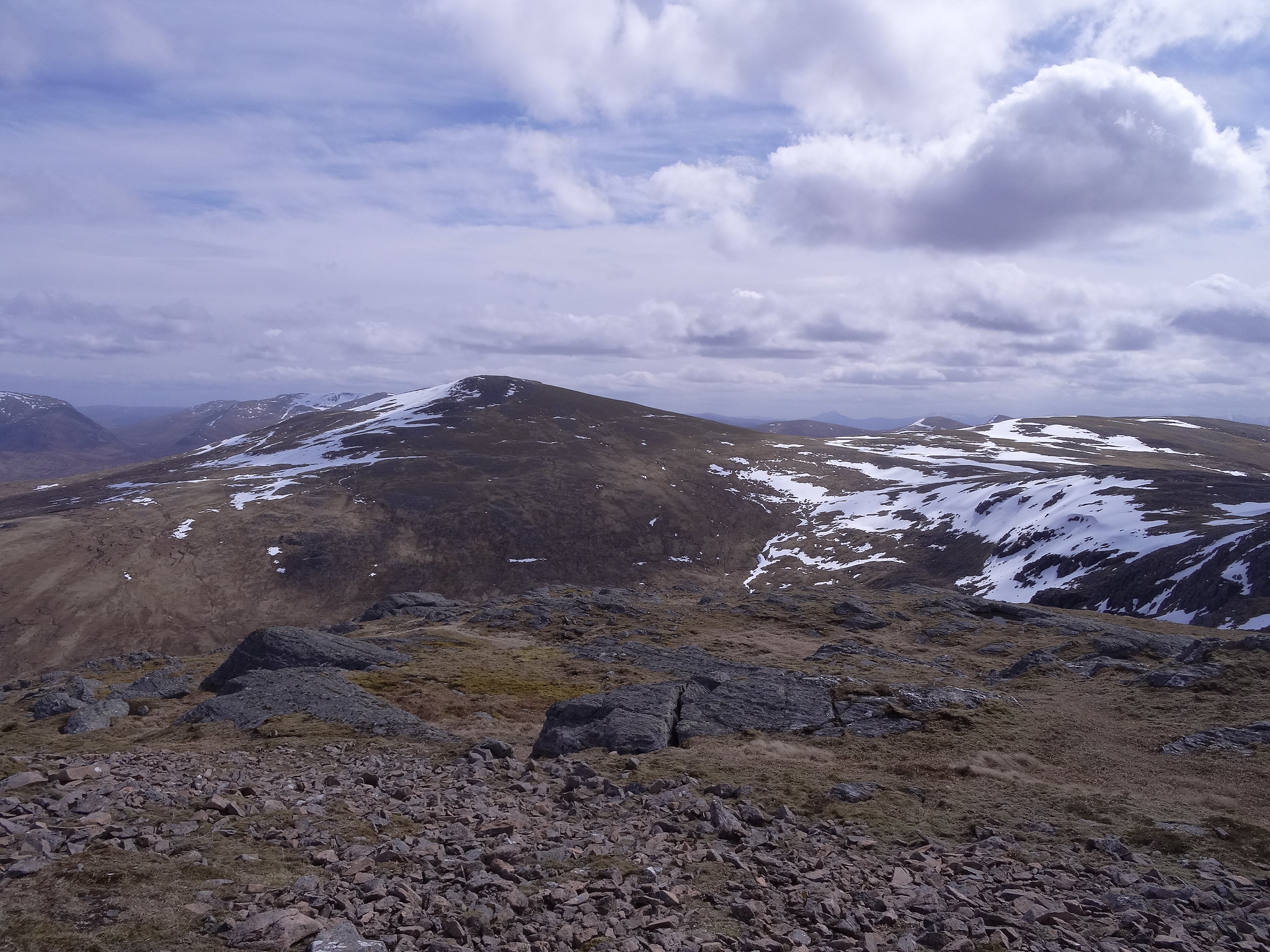
We had a break on the summit then set off for Chno Dearg. It's a bit rocky off the summit to start with heading towards the bealach above Coire an Lochain but the going is easy and the rocks and boulders soon give way to the grassy slopes of Chno Dearg, from here its a steady plod to the summit, once there we could see where we'd been,
 DSC01537
 by
Martin Hawer, Views from the grassy slopes, The Grey Corries.
 DSC01538
 by
Martin Hawer,
 DSC01539
 by
Martin Hawer, Ben Alder.
 DSC01540
 by
Martin Hawer,
It seemed a long way but it had taken less than an hour from summit to summit.
 DSC01541
 by
Martin Hawer, On Chno Dearg.
From the summit we headed in the general direction of Lochan Coire an Lochain, a bit bouldery but this led to some fantastic snow that we could run down losing height easily. We picked up the burn flowing out of the Lochan and followed it down to the farm at Fersit.
 DSC01544
 by
Martin Hawer, The little Lochan nestled below Stob Coire Sgriodain.
It was a long way and very wet but really easy going, not steep, just soft, which was good for preventing fatigue.
 DSC01545
 by
Martin Hawer, View down to Fersit.
 DSC01546
 by
Martin Hawer, Beinn a' Chaorainn and the Creag Meagaidh group.
Back at the car we got changed then sat down in the sunshine reflecting on what had turned out to be a reasonable week. After half an hour we set off for Fort William and a visit to Wetherspoons for some food rounding off a great day and a very enjoyable week.
Its Skye next to spend a few days with Paddy, fingers crossed for some stunning weather.....
