free to be able to rate and comment on reports (as well as access 1:25000 mapping).
Sunday's forecast looked distinctly iffy, with numerous blue blobs of variable intensity littering most of Scotland on the BBC's weather maps, but I decided to risk it anyway and plumped for a couple of hills that I hadn't done before and were relatively close...the Black Mount pair of Stob Ghabhar and Stob a'Choire Odhair from Victoria Bridge.
I reached the car park about 8.30...a few cars were already there and the weather was bright, but with plenty of activity in the skies above...
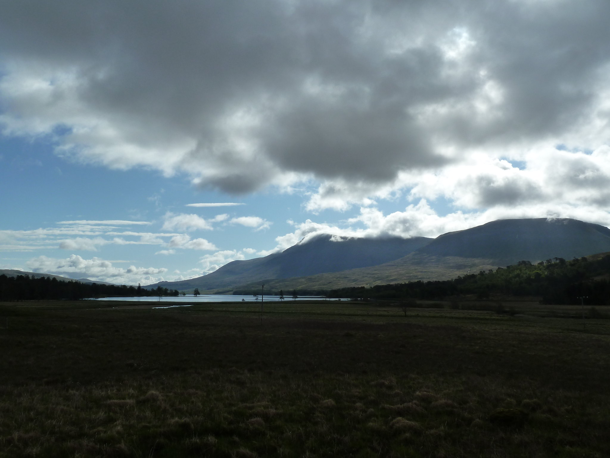 Ominous skies above Loch Tulla
From the car park head towards and over Victoria Bridge and look for a path (signposted) that heads off to the left just before the "Forest Lodge" (actually a couple of undistinguished breezeblock buildings) is reached.
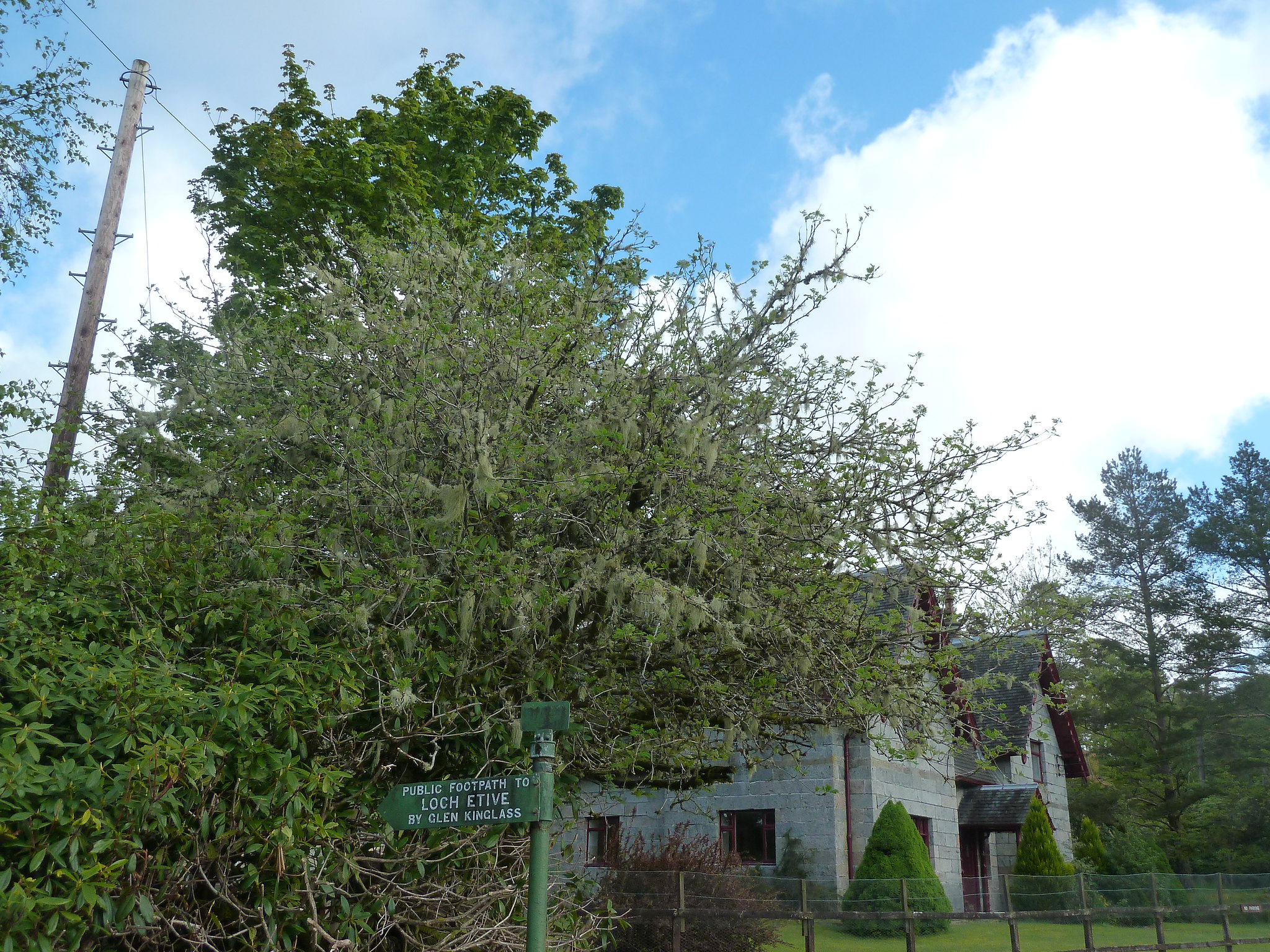 Forest Lodge and sign for path to hills
The path is really a track, and gives easy walking for the next half hour or so as it follows the river for about 1.5km until the turn off point is reached, just beyond the small green Clashgour Hut.
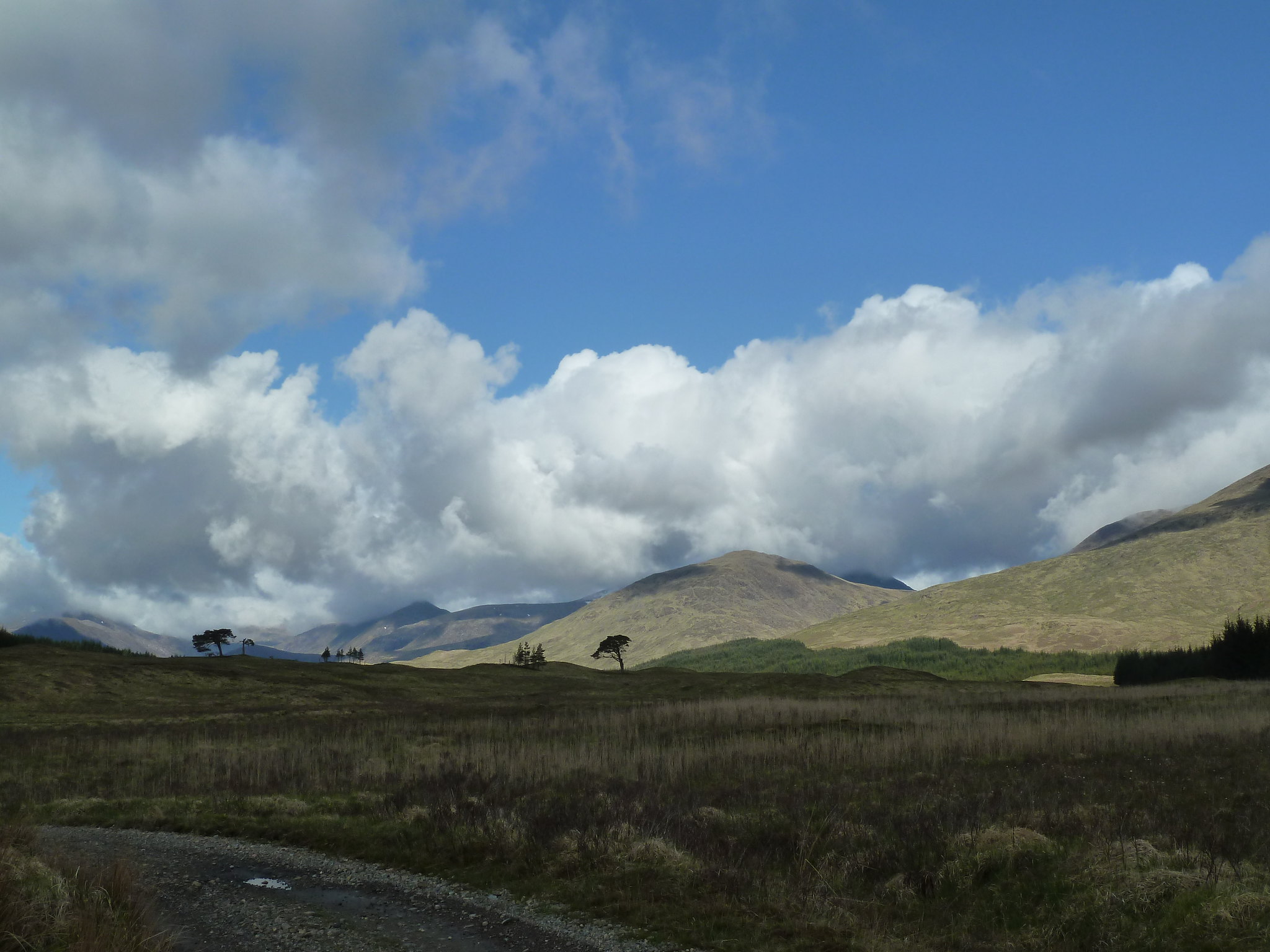 Following the track towards the hills
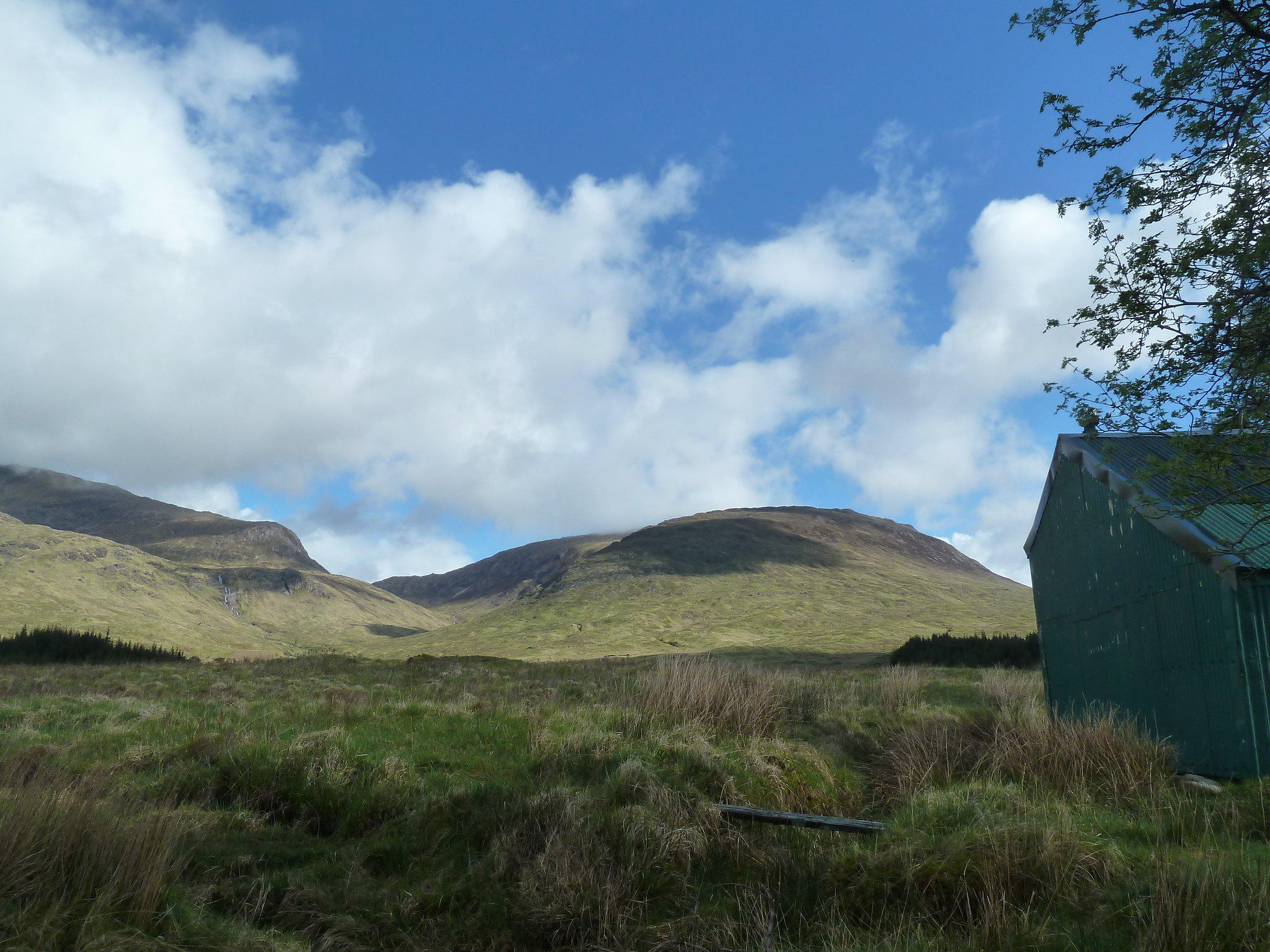 Clashgour Hut with Stob a'Choire Odhair behind
At the hut, don't cross the river, but turn right just beyond the hut to join the path that heads towards the hills. This path runs arrow-straight alongside the Allt Toaig, rising very gently uphill for a couple of kilometres. It's not all that pleasant a walk to be honest, but the path itself, while wet, at least isn't boggy and is quite firm underfoot even in places where it looks like you'd sink up to your knees if you stepped on it. Also, there are decent views across the stream to Stob Ghabhar on your left.
After a couple of kilometres you come to the first major obstacle on the path, the Allt Caolain Duibh. It's easy enough to hop over, and once over a small path immediately forks off to the right. In every walk there comes the time when the serious uphill stuff starts, and in this walk this is that time.
 Allt Caolain Duibh
The path now starts climbing steeply, with the gorge of the river on your right getting gradually deeper and deeper. After climbing straight uphill at first, the path begins to zigzag as the going gets steeper, heading uphill in a series of switchbacks a bit like a Tour de France cyclist climbing Alpe d'Huez, but with fewer drunk Norwegians in mankinis shouting at you.
Eventually the steepness eases off a bit and the path peters out...it's then just a matter of picking a path through the boulder field that separates you from the summit. Once there, you are rewarded (if lucky with the weather) with amazing views all round, especially out over Rannoch Moor.
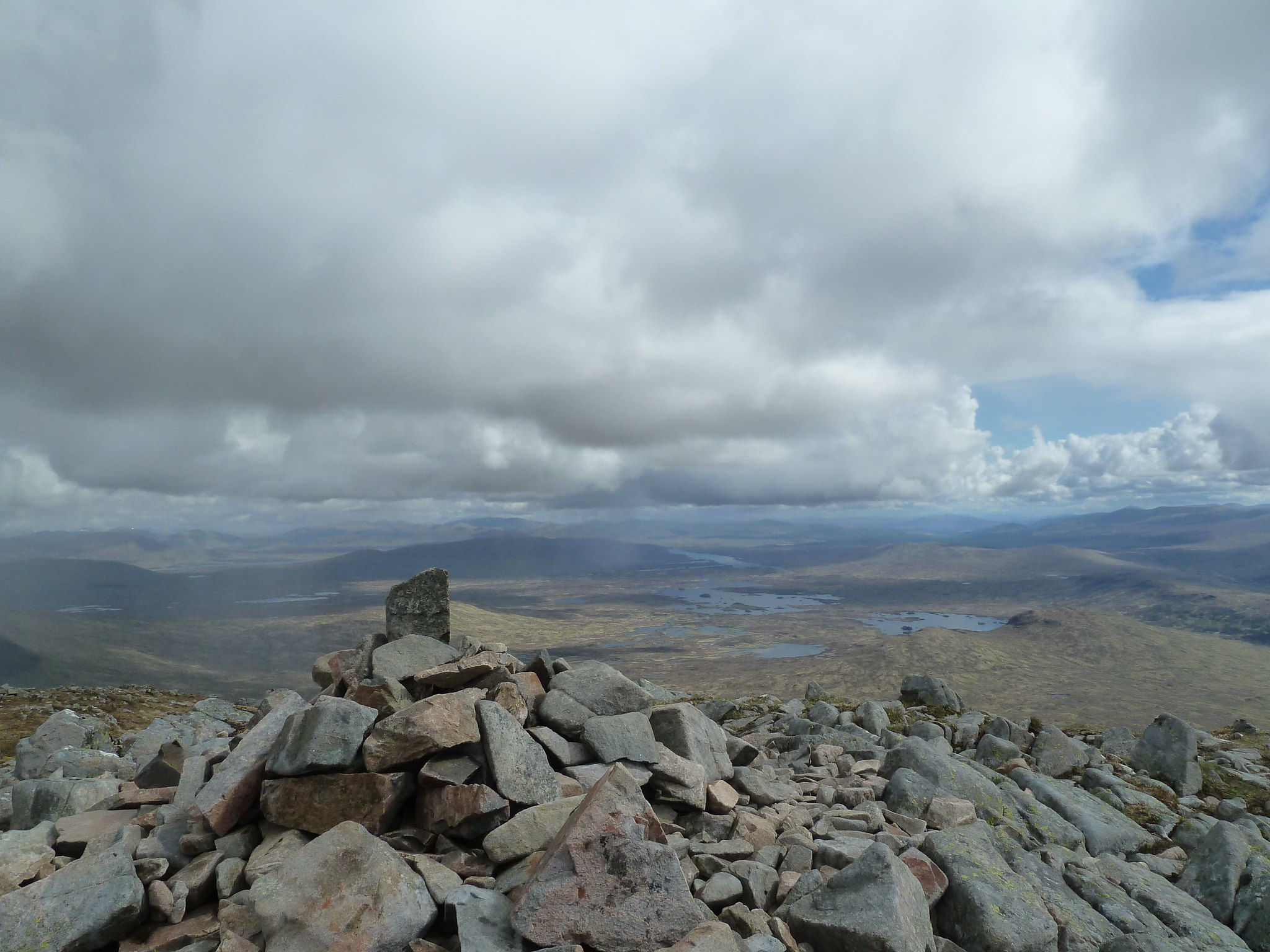 Summit cairn of Stob a'Choire Odhair, with Rannoch Moor behind
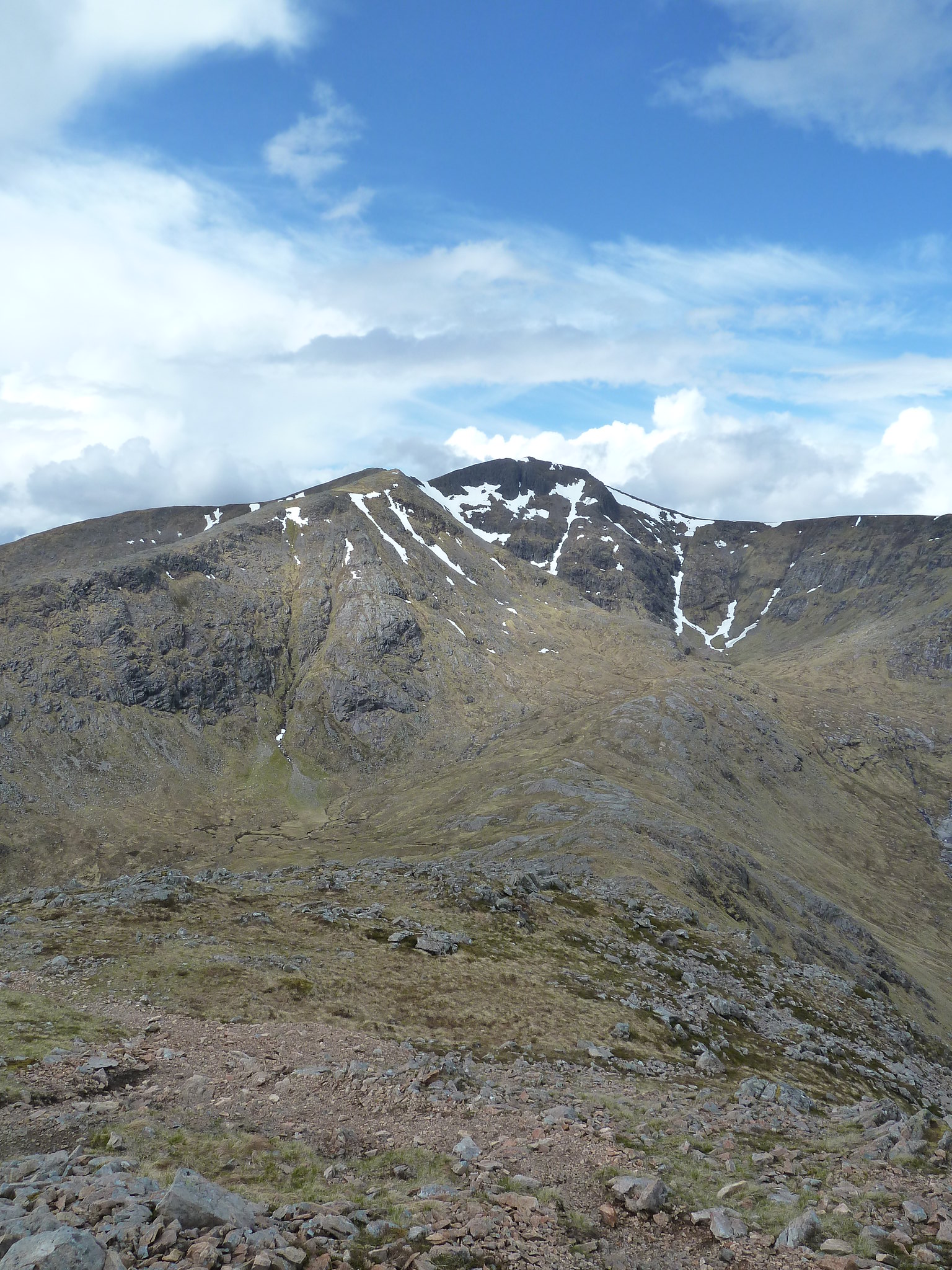
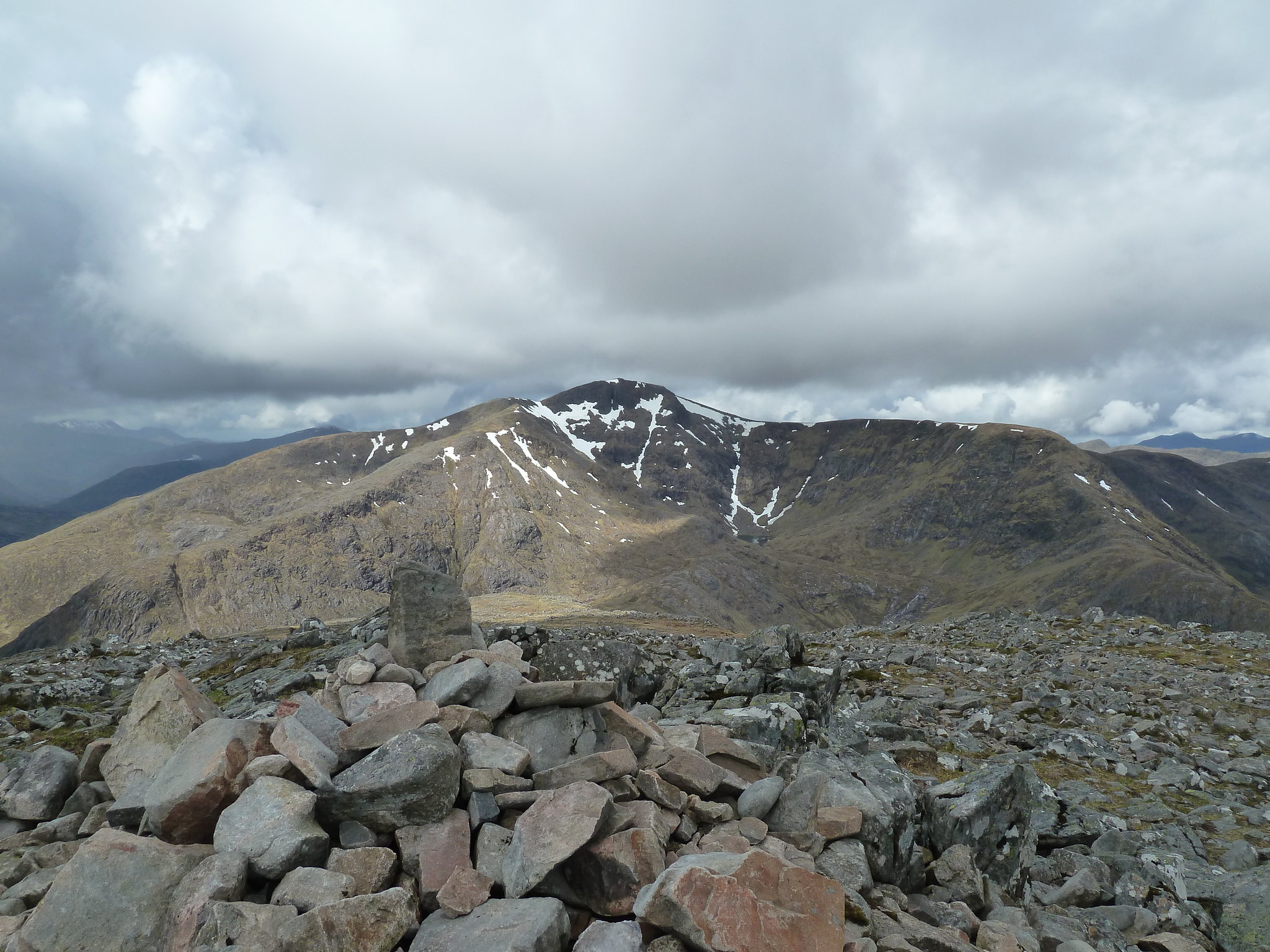 Across to Stob Ghabhar
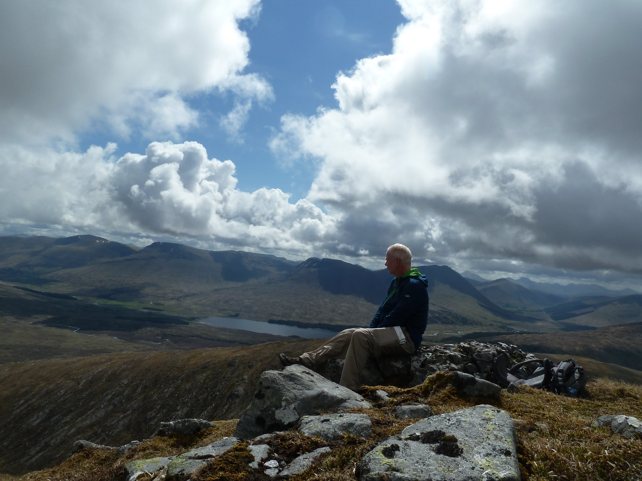 Contemplating the view
After a brief snack and a wander around admiring the views, it was time to head down the west ridge (when I eventually found it) towards Stob Ghabhar. At this point it started raining...just a drizzle at first and then full blown rain, and the wind was getting up too. After a bit of humming and hawing I decided it warranted getting the waterproofs out and for the next half hour or so I was glad I did.
The descent down to the bealach was pretty straightforward, but seemed to go on a long time, and by the time the low point was reached it felt like I was back at sea level...especially when looking up at what lay ahead.
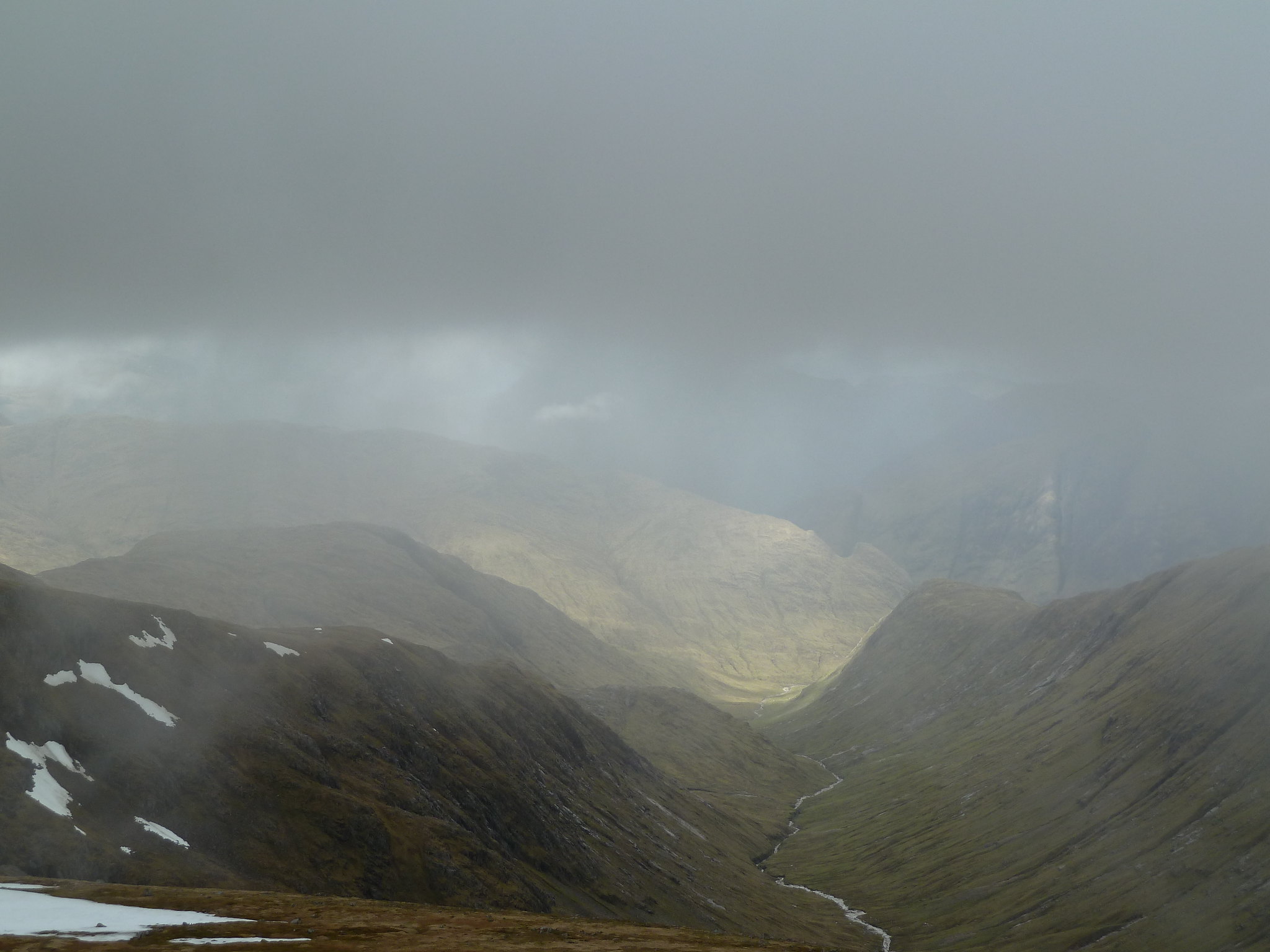
 Stob Ghabar from the bealach
If the weather had stayed the same, or worsened, I was considering bailing out and heading down Coire Toaig and back to the car, but luckily the sun chose this point to pop out again, so it was off with the waterproofs, on with the suncream and onwards and upwards. When the path starts climbing again the going is pretty good for a while but soon it starts climbing very steeply, and you feel quite exposed in places, but it's an enjoyable scramble...especially compared with what lies ahead...
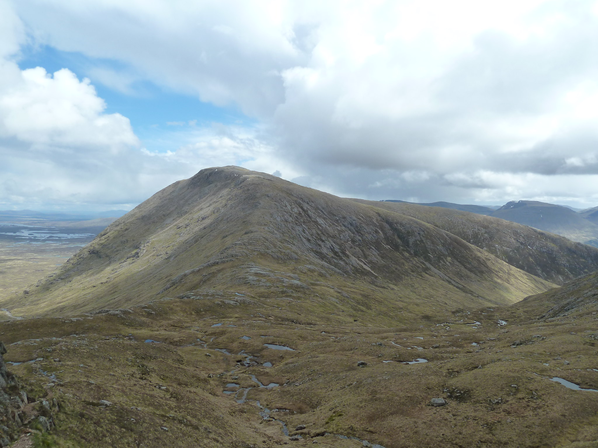 Looking back to Stob a'Coire Odhair
 Stob Ghabhar and Coirein Lochain
After this initial steep section, the gradient eases for a short while but then starts climbing steeply again, this time with horrible loose scree underfoot. This was the most unpleasant part of the whole walk, and mercifully doesn't last too long before you emerge onto the ridge of Aonach Eagach. Unlike its more famous namesake (so I've heard) this is a pleasure to walk, starting off as a broad grassy ridge before narrowing dramatically, but offering no real problems to anyone with even a moderate head for heights.
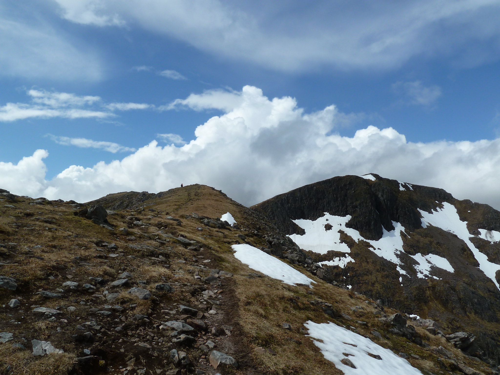 Start of Aonach Eagach
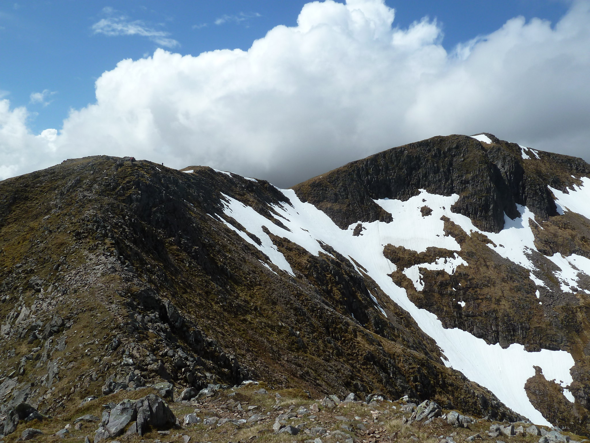 The ridge narrows...
At this point the summit of Stob Ghabhar still looks very far away, but it's not too bad and from the low point of the ridge it's less than 30 minutes to the top on a very straightforward path.
 The final push
There were three guys having lunch at the summit...all solo walkers who happened to arrive at roughly the same time. I said hello and wandered a bit further on to take in the views. All around the hills were in cloud, but we seemed to be enjoying a bit of a microclimate...the sun was still shining and there wasn't a breath of wind, but looking west the clouds looked rather menacing.
 Looking towards Glen Etive
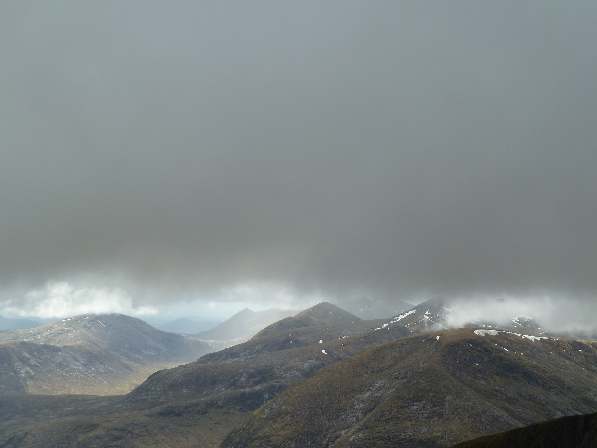 Dark clouds arriving from the west
 Stob Ghabhar summit cairn
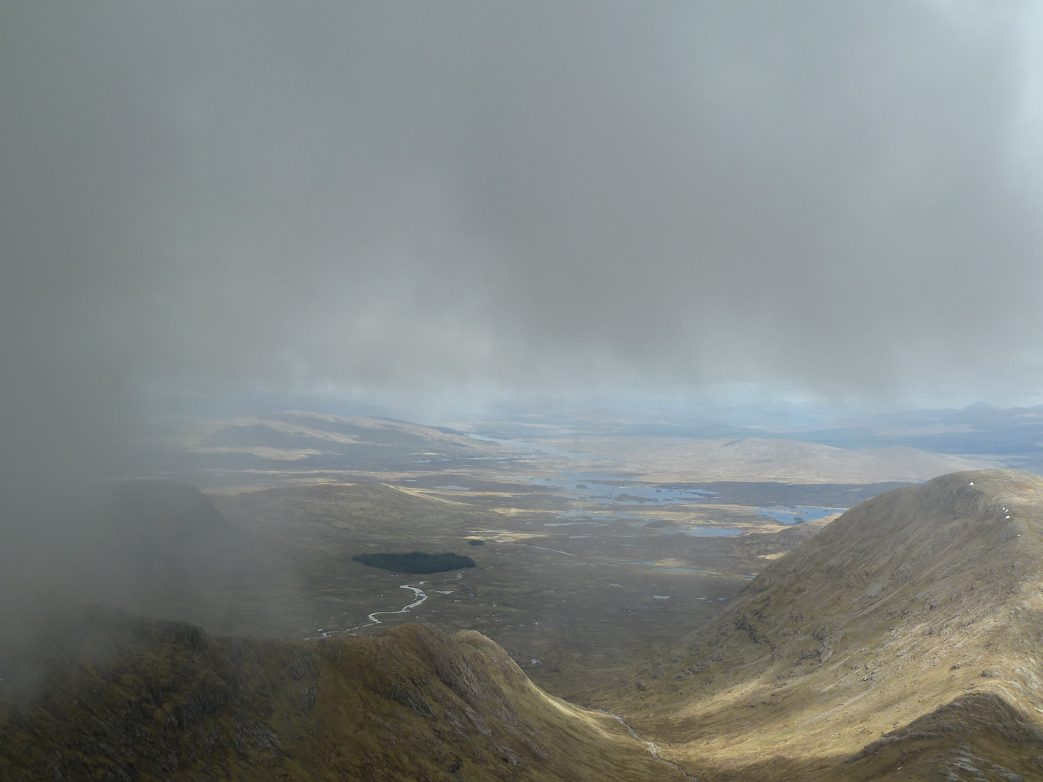 Stob a'Coire Odhair and Rannoch Moor
After a quick lunch at the summit it was time to head back. It had taken just over five hours to reach this second summit of the day and apart from about half an hour the weather had been kind, but I didn't want to push my luck. A couple of the guys at the summit decided to head off west with a view to descending to Clashgour via the south ridge of Sron a'Ghearrain. Had it been a glorious day I might have joined them, but in the end decided to take the more direct route back. To do this, simply descend the way you came up to the narrow part of the ridge and look out for a cairn that marks the start of a path down the south ridge of Stob Maol.
 Cairn marking the start of descent of Stob Maol
The descent starts well down a nice path, but this soon disappears amongs a boulder field and soon becomes quite tiresome. With crags on your left and a fence line on your right, it's just a matter of picking your preferred route and trying to get it over with. Once the worst of the boulders are left behind it should be quite easy to pick up the path again...basically it follows the fence line. Eventually you reach a point, marked by a lone tree, that signals the start of a more steep descent towards the Allt Toaig. The good thing about this section is that you have a very impressive waterfall crashing down beside you.
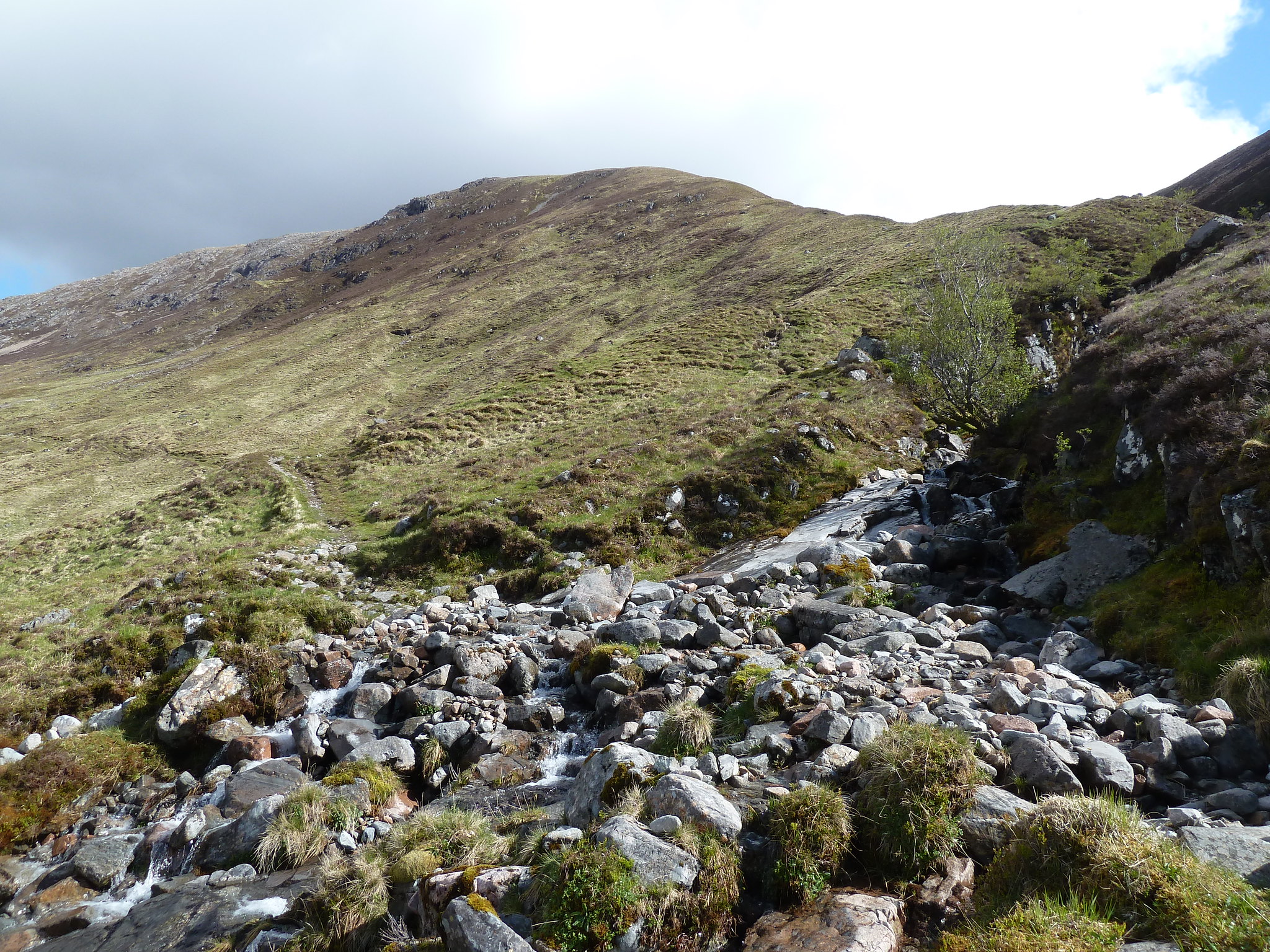
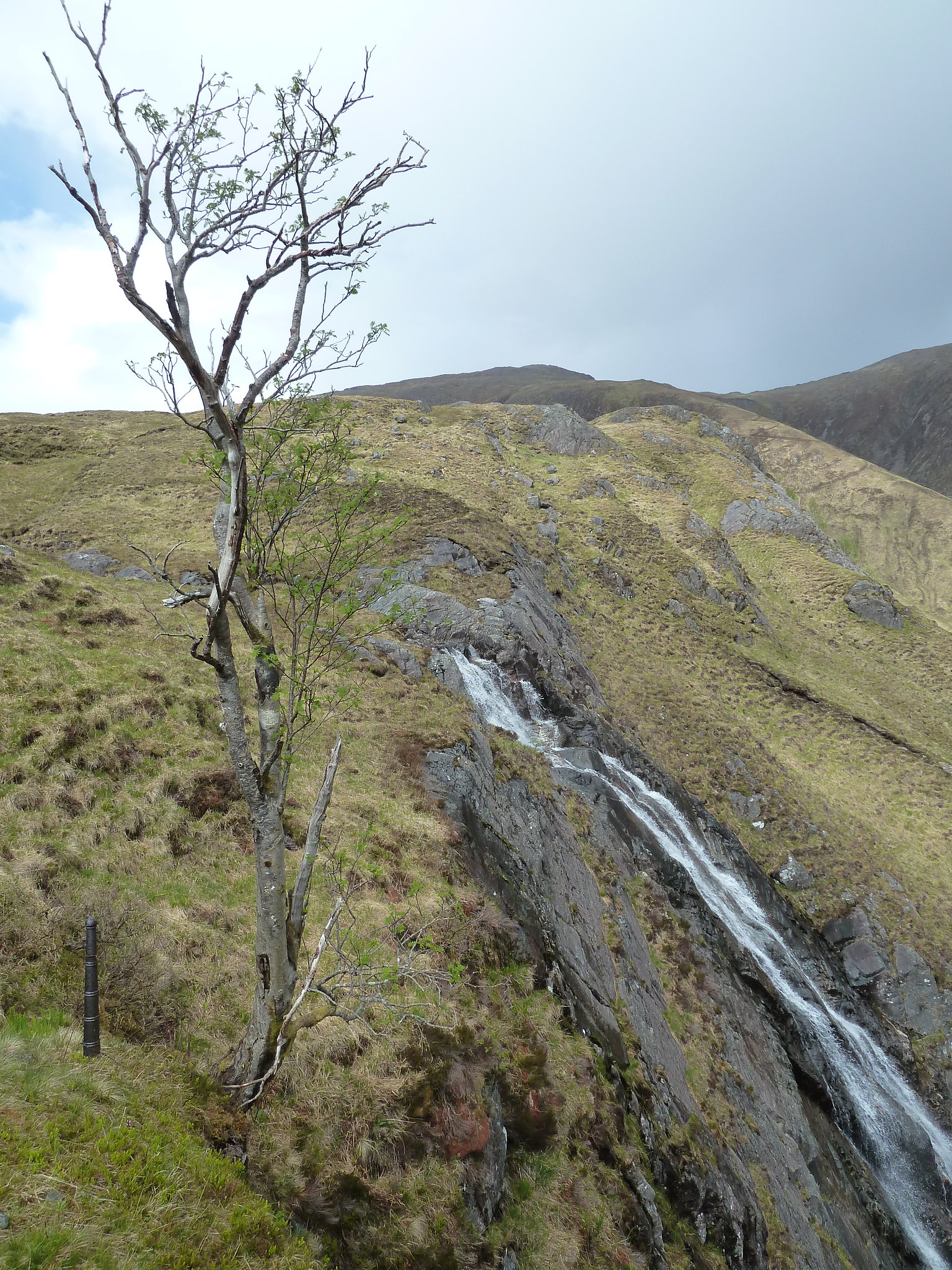 Beginning of steep descent
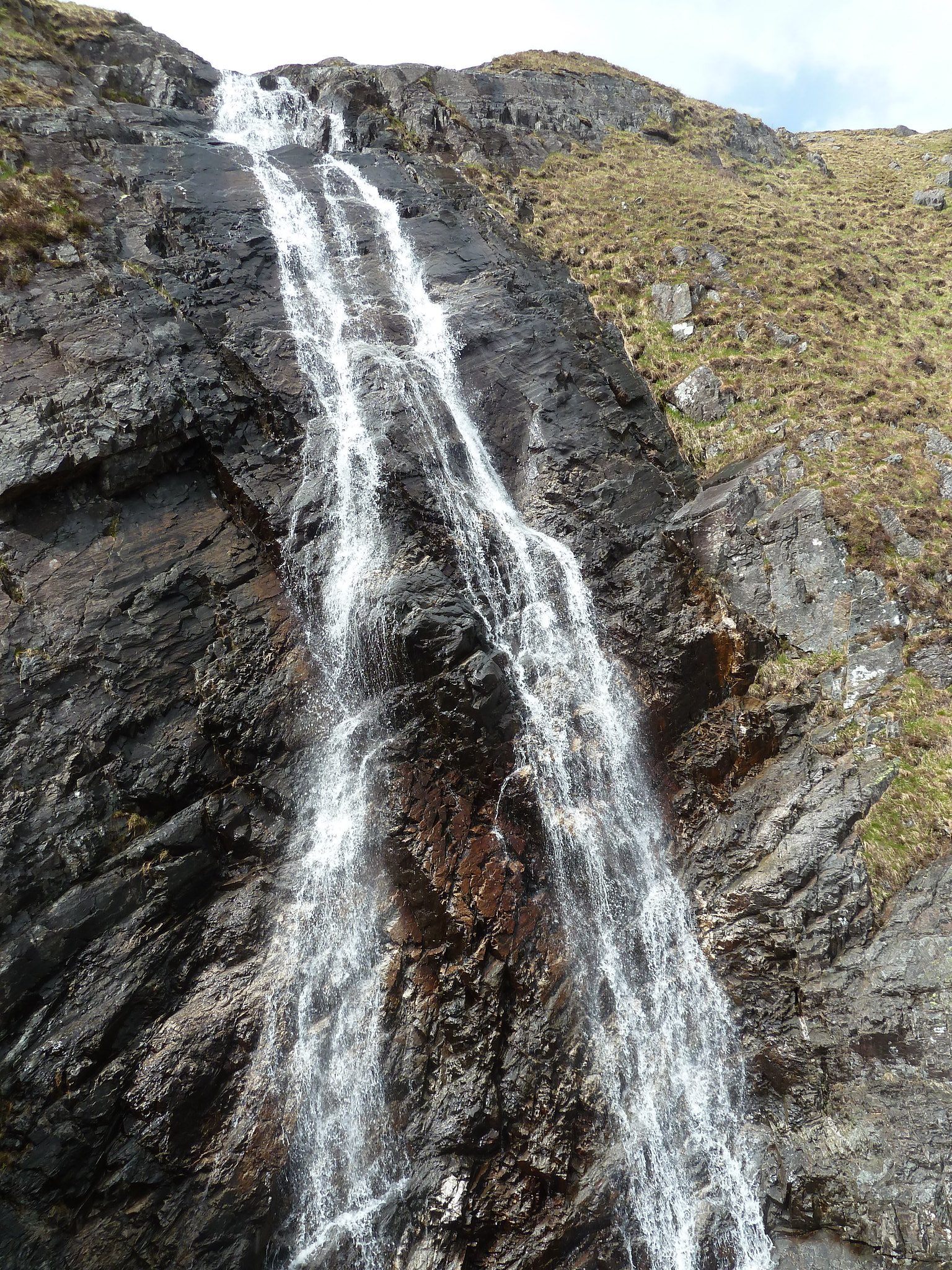 Waterfall
Once down on more level ground the path comes and goes through some boggy ground, but basically it's just a matter of following the stream on your left to where it joins the Allt Toaig, marked by a small copse of trees.
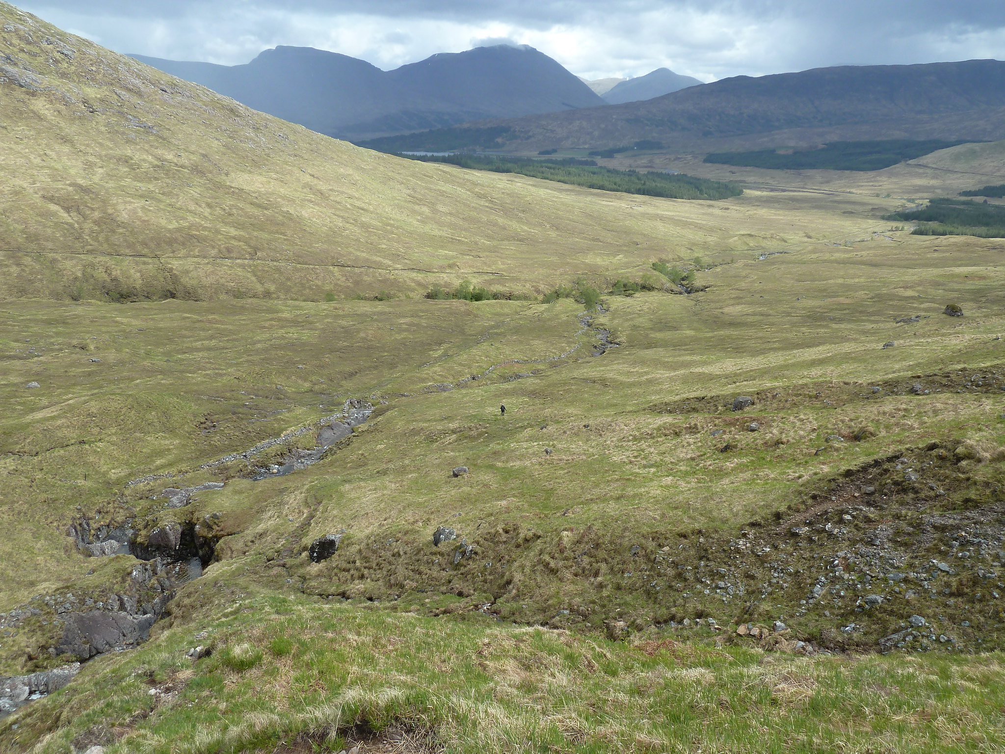 The final descent towards the outbound path
The path, if you manage to pick it up again, leads to the Allt Toaig. The crossing wasn't entirely obvious, but there were plenty of options so it was just a matter of picking one and going for it.
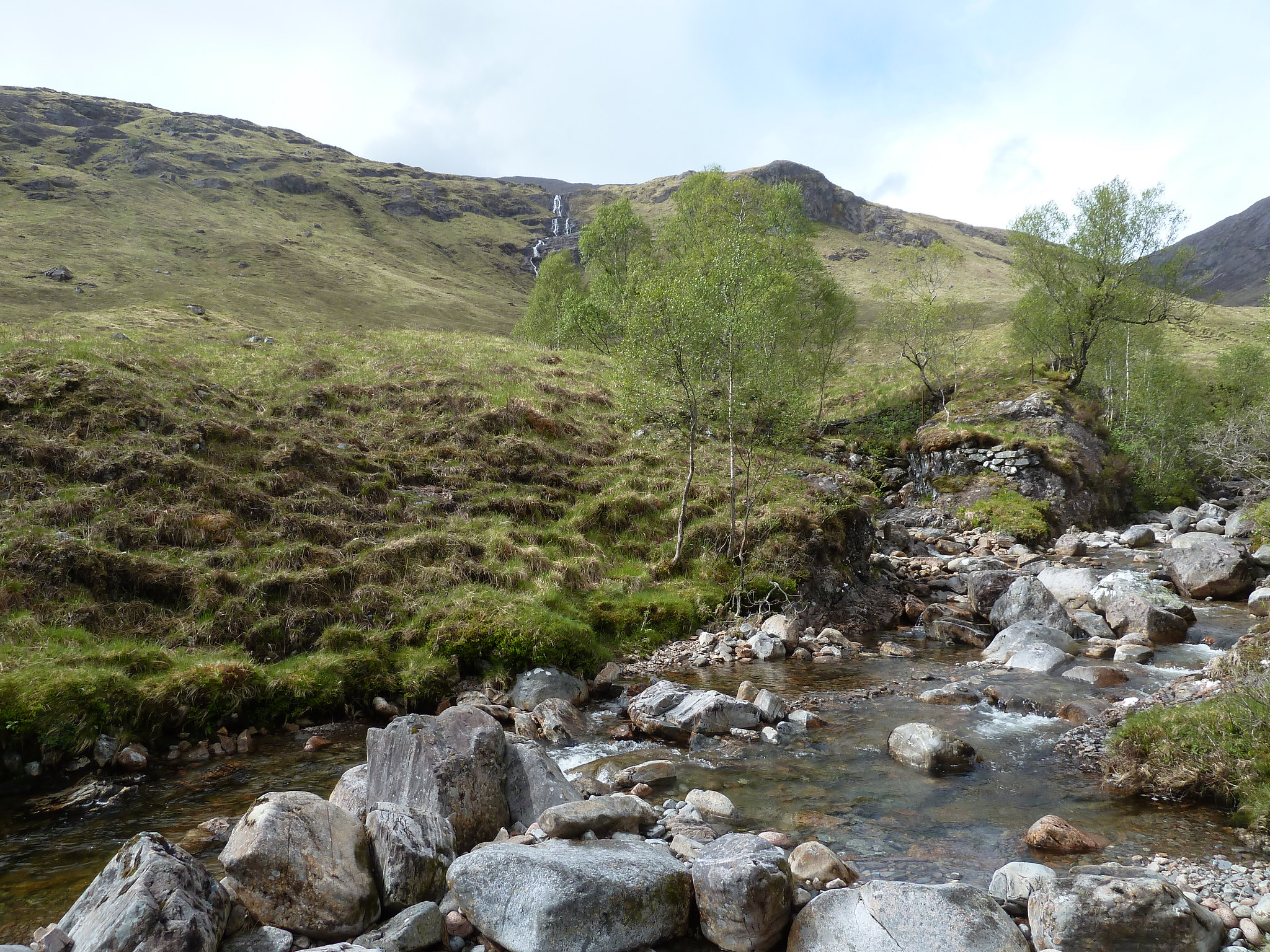 Crossing point on the Allt Toaig
Once over the river and back on the outward path it's about an hour's walk back to the car park. The rain had been coming and going on the descent, but never enough to consider getting the waterproofs on again, and by the time I got back to the car the sun was shining as clearly as it had all day.
This is a fairly long, but very enjoyable route with plenty of variety and some interesting scrambly bits. Highly recommended.
