free to be able to rate and comment on reports (as well as access 1:25000 mapping).
Attendees: Me, Jake, Big Dog, Small Dog
Map: Harvey’s Superwalker ‘Pentland Hills’
Flotterstone – Turnhouse Hill – Carnethy Hill – Scald Law – East Kip – West Kip – Hare Hill – Black Hill – Bell’s Hill – Glencourse Reservoir – Flotterstone
Jake coming off Black Hill - this was probably as close to him as I got all day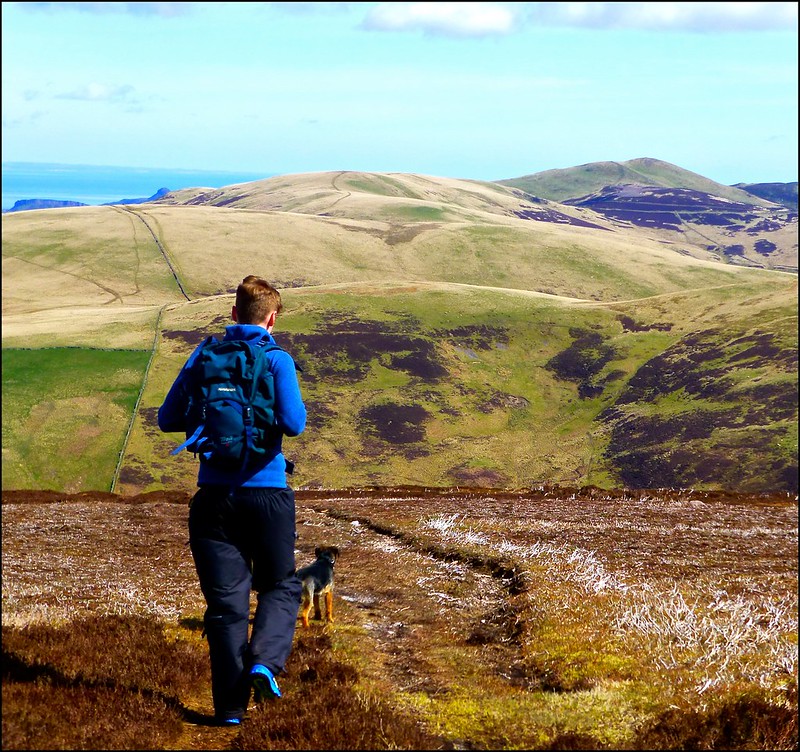 P1120327
 by
Neil Mackay, on Flickr
Sunday morning round with my 19 year-old stepson who was training for the Isle of Wight 100k Challenge the weekend afterward. The dogs came too. Naively thought I might be able to keep up with him but that idea was quickly put to rest. For much of the time I was trailing in his wake.
Anyway, a decent enough route over several hills I’ve done previously. Mild day that saw us traverse Turnhouse, Carnethy, Scald Law and the Kips first. We looped round to the northern tops using the Bavelaw Castle track as far as the western slopes of Hare Hill. Return leg was - Hare Hill, Black Hill, Bell’s Hill and Harbour Hill. Decided to cut out Capelaw, Allermuir and Castlelaw hills as I see enough of these in midweek dog walking. Besides, I decided he was going too slow
 Leaving Carnethy for Scald Law
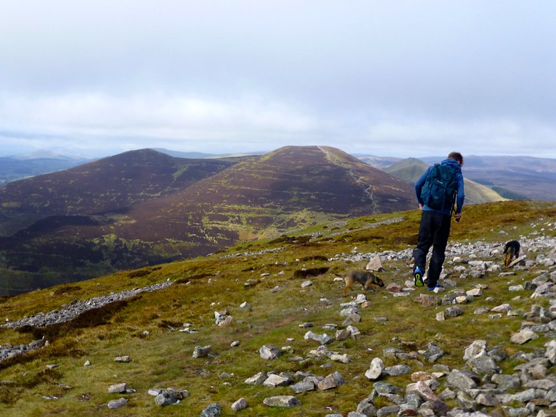 P1120317
 by
Neil Mackay, on Flickr
Scald Law trig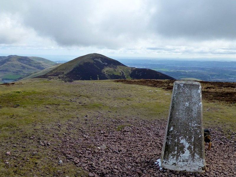 P1120319
 by
Neil Mackay, on Flickr
Glencourse Reservoir from above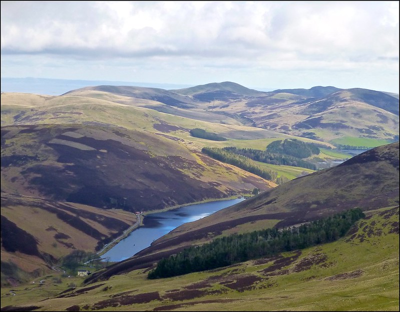 P1120321
 by
Neil Mackay, on Flickr
Crossing from the south to north ridge - looking from Logan Burn back towards the Kips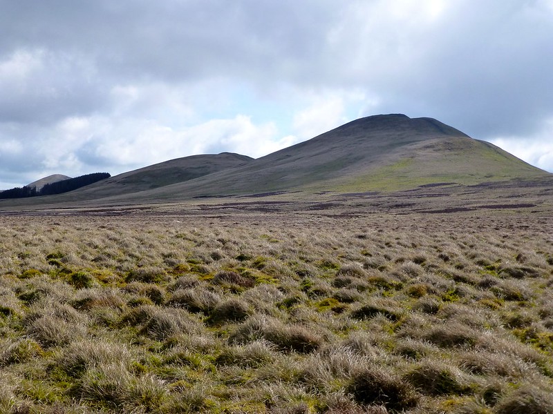 P1120326
 by
Neil Mackay, on Flickr
The outward side of this round is much more popular than the return side but it’d be hard to get lost regardless – good tracks and paths exist the whole way.
Edited 31/1/17: Text added, pics added from FlickR and status changed from personal log to trip report.
