free to be able to rate and comment on reports (as well as access 1:25000 mapping).
These were my last Monro's in the far North, so time to tick them off the list.
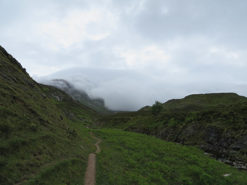
It was a lovely drive up from Aberdeenshire and it was only once I reached Ullapool that the cloud cover started to come in. From the car park it was a simple case of crossing the river by the road bridge and turning right and following the track up the glen.
The summit was shrouded in cloud at this point, but hopefully it would clear up later.
 IMG_0401
 by
matthew_chalmers, on Flickr
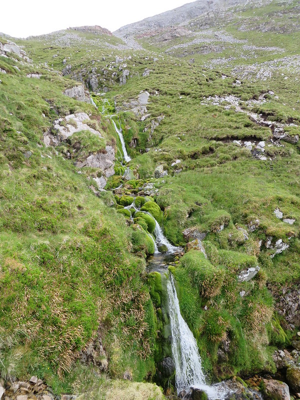
A decent path leads it's way up the right of the river before sweeping right and upwards.
 IMG_0404
 by
matthew_chalmers, on Flickr
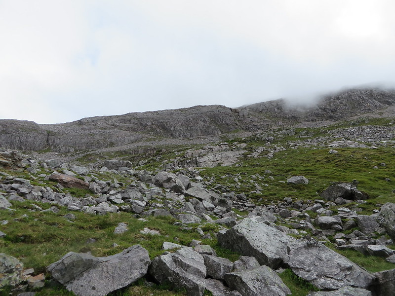
Eventually I came to a point where there didn't appear to be any obvious route up through a ring of rock and I wished I had paid more attention to the Walkhighlands guide!
 IMG_0405
 by
matthew_chalmers, on Flickr
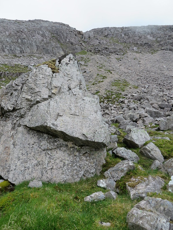
It looked like the the best route was to the right as there appeared to be a break in the rocks.
 IMG_0406
 by
matthew_chalmers, on Flickr
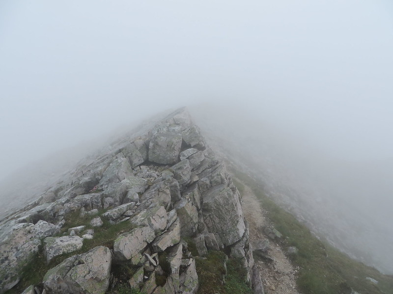
This didn't appear to be a particularly great decision, the scree was loose underfoot and increasingly steep, but once through the gap it turned to larger boulders which were easier and quicker to travel over.
 IMG_0407
 by
matthew_chalmers, on Flickr
From here it was straight forward up to the Conival summit shelter.
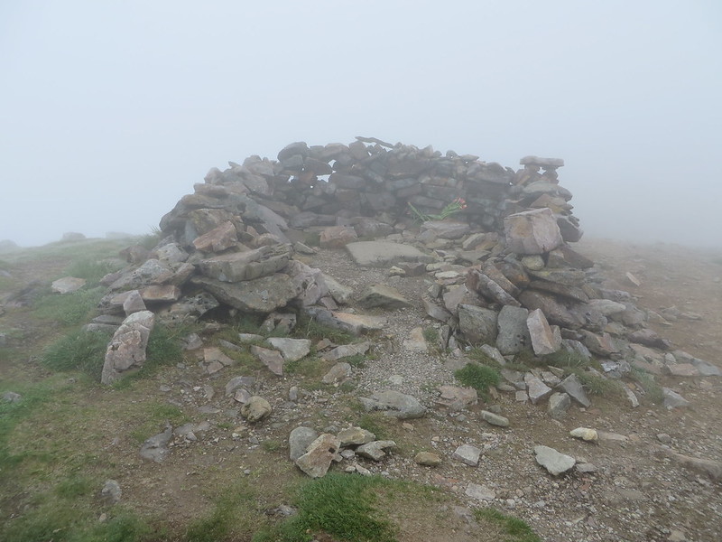 IMG_0409
 by
matthew_chalmers, on Flickr
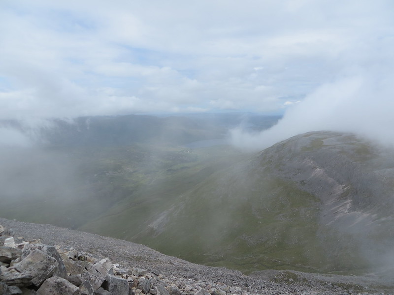
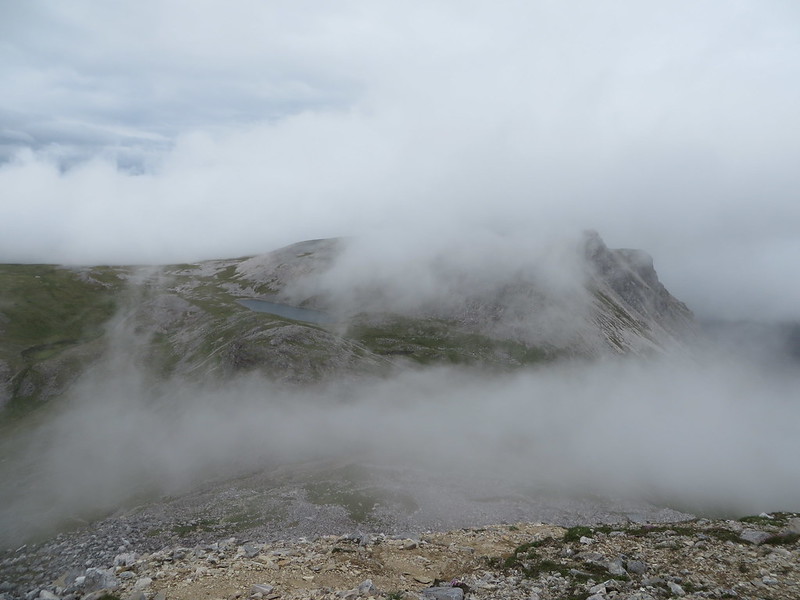
Unfortunately the summit was well in the cloud so the walk over to Ben More Assynt didn't give much more than a hint of the grandeur of the ridge walk.
 IMG_0412
 by
matthew_chalmers, on Flickr
Soon though the summit loomed out of the cloud.
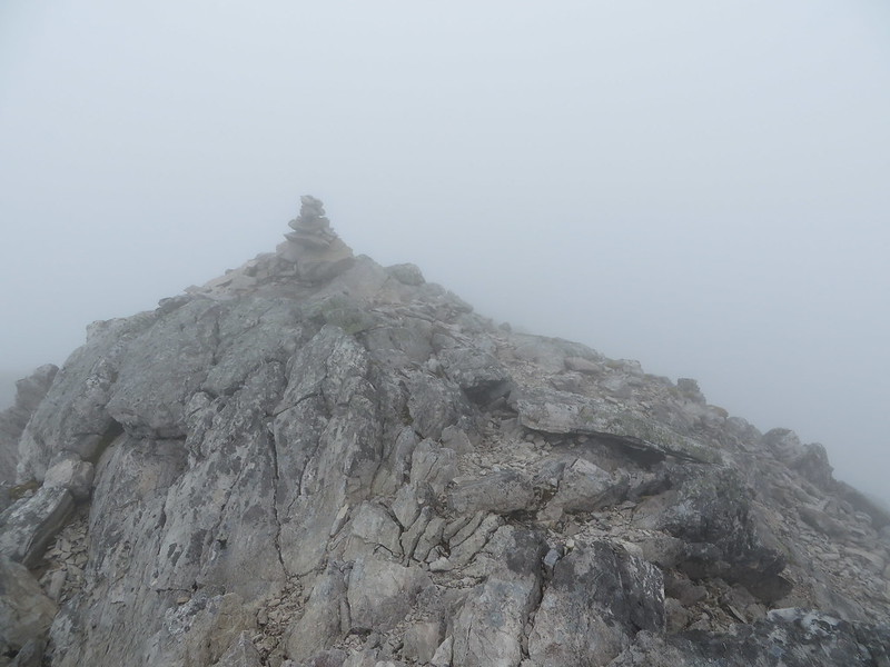 IMG_0415
 by
matthew_chalmers, on Flickr
The return was back the way I came to Conival and then back along the path downwards.
 IMG_0418
 by
matthew_chalmers, on Flickr
At this point I dropped my camera and broke it

Following the path down it looked like I might have made the right choice making my own way up as the path was horrendous. Twice I slipped in the loose gravel that made up the path. Worse than that, now out of the cloud, I was in bright sunshine and had left my hat in the car, so ended up burnt to a crisp!
