free to be able to rate and comment on reports (as well as access 1:25000 mapping).
Date - Sat 24/07/2010
Hills - Carn a'Bhodaich
Route - From City Centre SW along Great Glen Way route for 15km, turning left (SE) on to track at Ladycairn and on to hill summit. Retrace route to return.
Weather - A bit dull. Light breeze. Managed to avoid rain.
People - Me
Time - 6 Hours
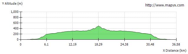
Distance - 36.5km (30km cycling)
Ascent - 648m
Max Altitude - 501m
I'm often without use of a car to get to the bigger hills and having done most of the walking routes in and around Inverness I've been eyeing up things reachable by including cycling. Carn a'Bhodaich is the closest Marilyn to Inverness and with the bulk of the route there on the Great Glen Way track it's easy going, and with cycling you can eat up the mileage in good time.
To access the hill you turn left off the road at Ladycairn (NH558386) on to what's marked on the map as a landrover track - this is where the fun begins! It's more like a single track boggy mudbath! As it goes through the forest it all but dissapears - I totally lost it briefly and dragged the bike through the forest before picking it up again. In fairness it is good, and dry-ish in parts, and if you were walking it'd be a bit easier going. It just gets frustrating - you get a short stretch of passable track before you have to divert through the heather to avoid huge boggy/mudbath sections. Upon leaving the forest it gets a bit better but is very rocky - no real problem walking - I pushed the bike up most of the way. If cycling here it'd be well worth considering leaving your bike near the start of the track and walking. I had my good bike out today so wasn't too keen on leaving it out of sight for long. I must say, it wasn't just the 'track' that caused grief - all the way up I had about a hundred flies buzzing around me!
I went up the track to NH572378. I left the bike there and struck a line up the hill SW toward the summit. It was easy enough going through the heather. I probably went further up the track than is really neccessary - you could also leave the track at around NH565377 - going S from here you'd pick up a line of fence posts that lead E to the summit.
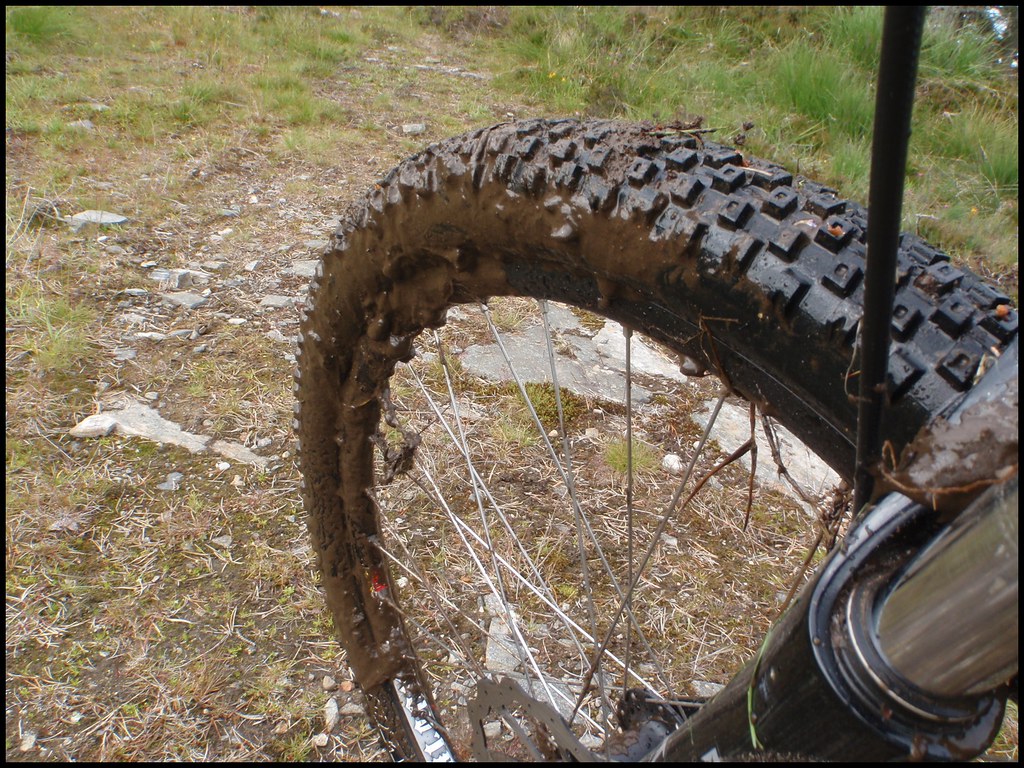
On the return going downhill I made quick progress, managing to cycle most of it - but it was hard work, quite technical and hard on the arms. As I was going at a good pace I gambled on going straight through some of the mud - mostly making it - but getting very muddy! It was a relief to reach the road again - and after just a little bit of ascent on the GGW track it was downhill all the way home
 Start - River Ness, Inverness City Centre
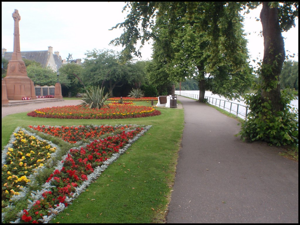
 Caledonian Canal - opposite cemtery
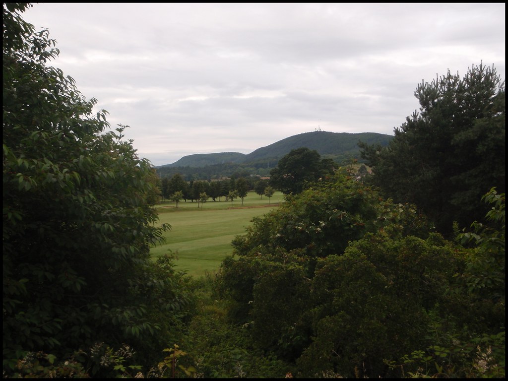
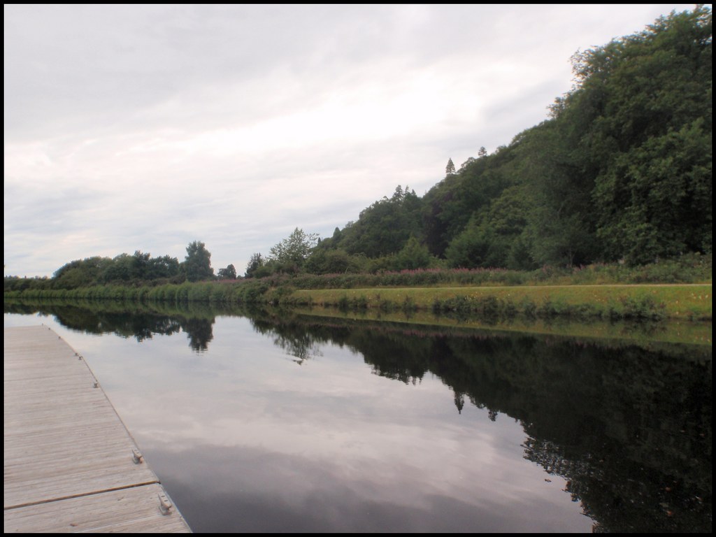 Across Torvean Golf Course to Dunain Hill
The route takes you around the golf course and uphill, eventually going around the back of Dunain Hill
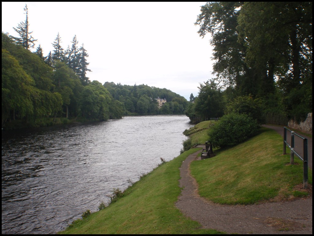
 Reservoir at NH628439
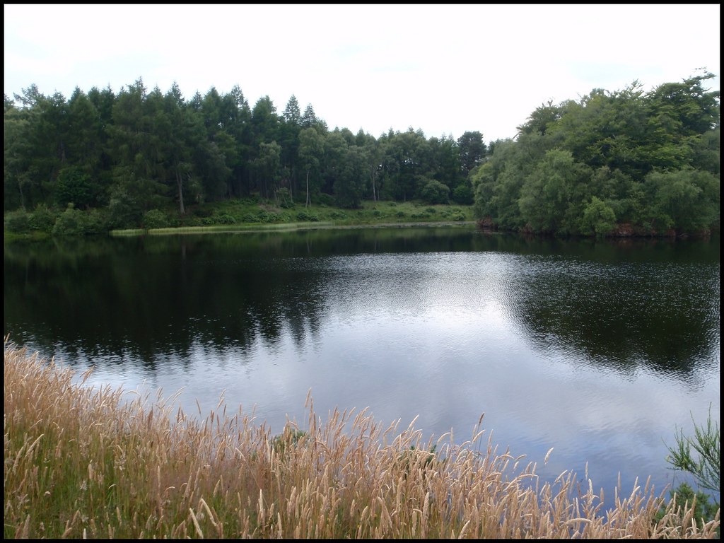 Moray Firth & Inverness
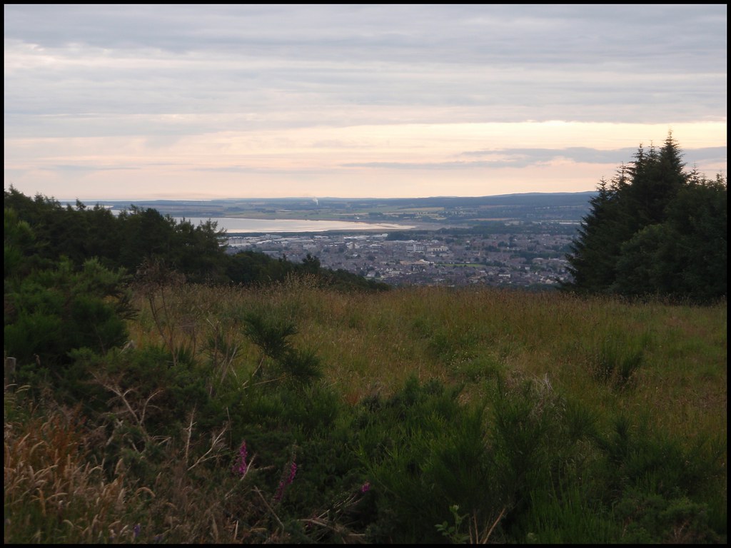 SW along GGW path behind Dunain Hill
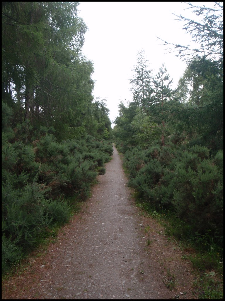
There was literally hundreds of tiny frogs on a 15-20 metre stretch of this track - I got off the bike and very carefully made my way through to avoid killing dozens of 'em! (others hadn't been so careful going by the amount of squashed frogs

)
Frog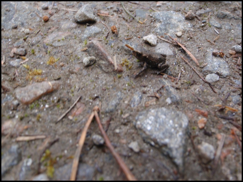 Frog and my boot for scale
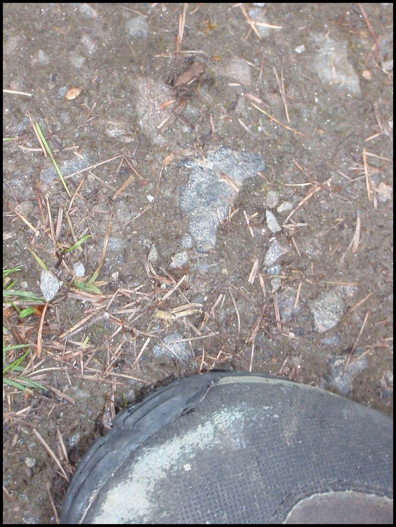 Stopped for a rest at a convenient bench just before the GGW track joins the road. Looking over toward todays hill - Carn a'Bhodaich
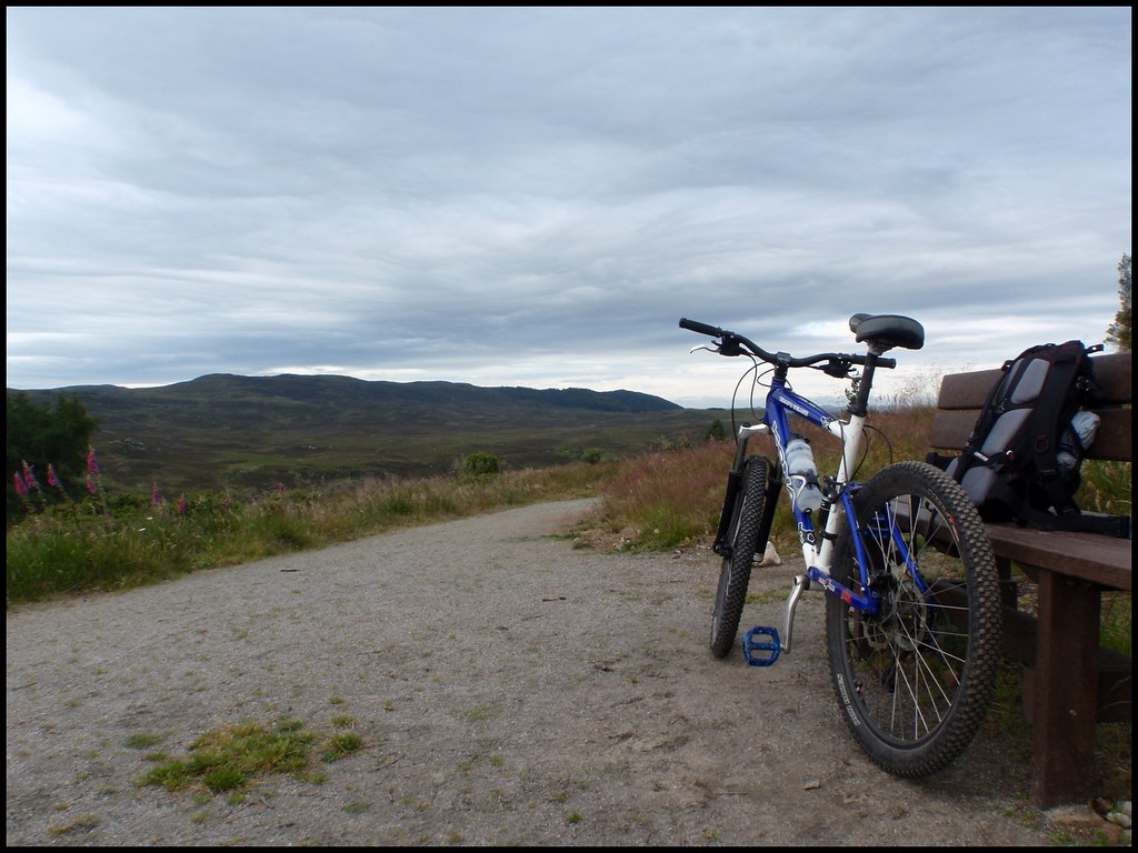 N to Ben Wyvis
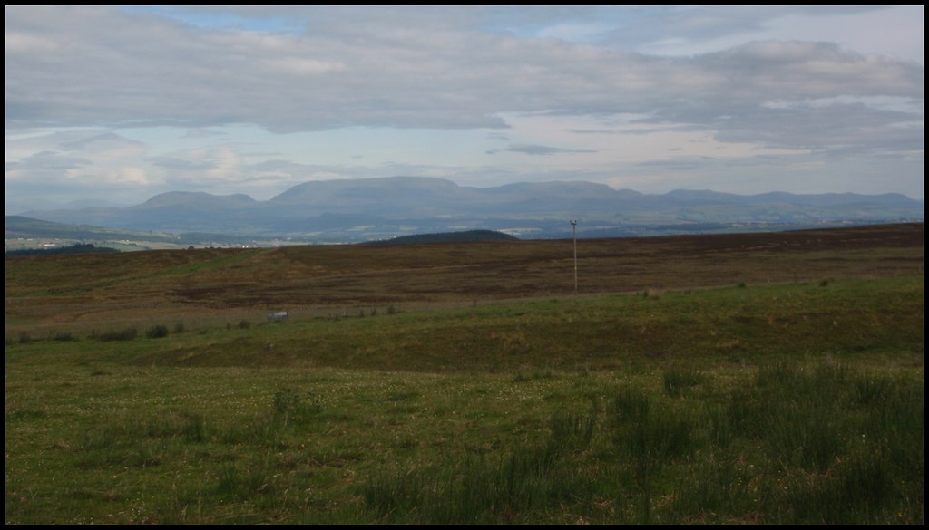 W to Strathconon Hills
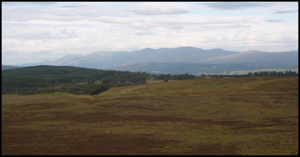 Start of track at NH558386 [Ladycairn]
It turned out to be easier cycling over the thick grass in the centre section
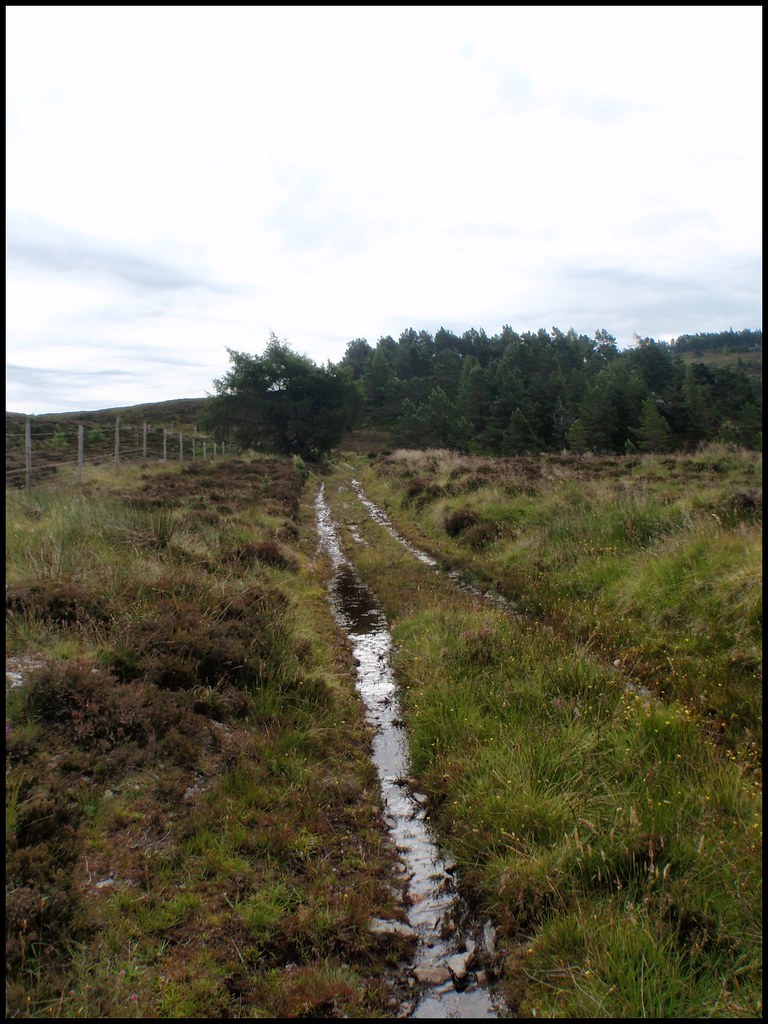
Veering on to the actual track only resulted in having to prize the wheels out of thick mud
 Going through the short forest section the track dissapears to almost nothing
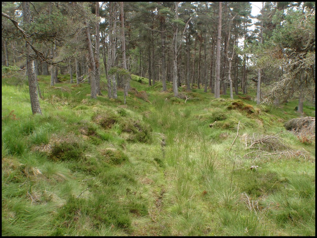
Emerging from the forest the track changes to a narrow rocky path. I went up about another 1.5km to this point, mostly pushing the bike. This is the point I left the bike for the final ascent up the heathery hillside
Looking back W along track at NH572378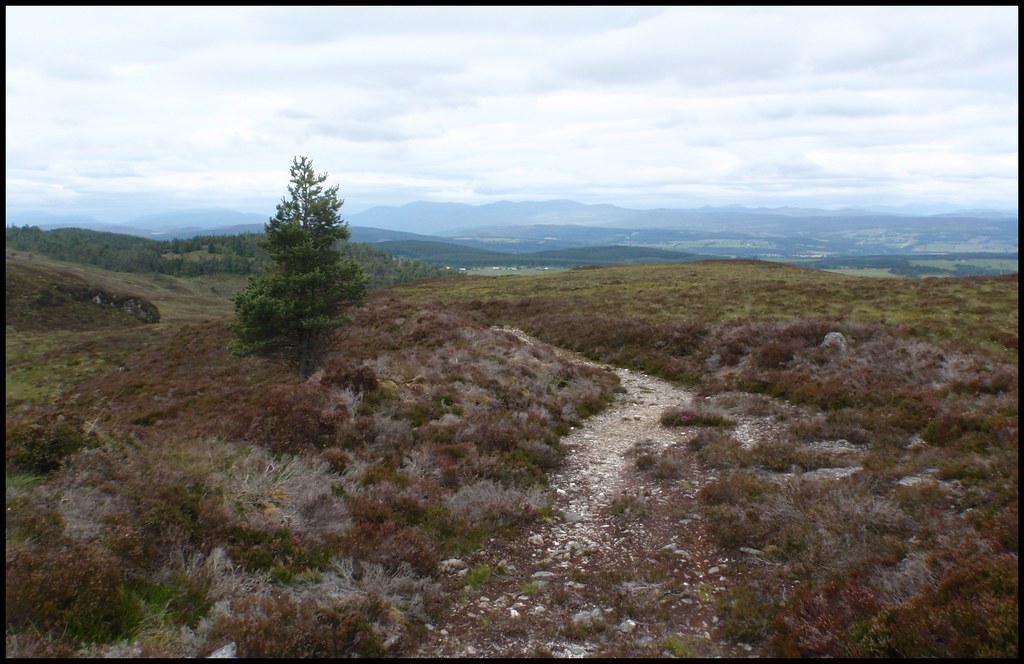 On the left is the 494m top, the 501m summit and trig point is just beyond in the centre
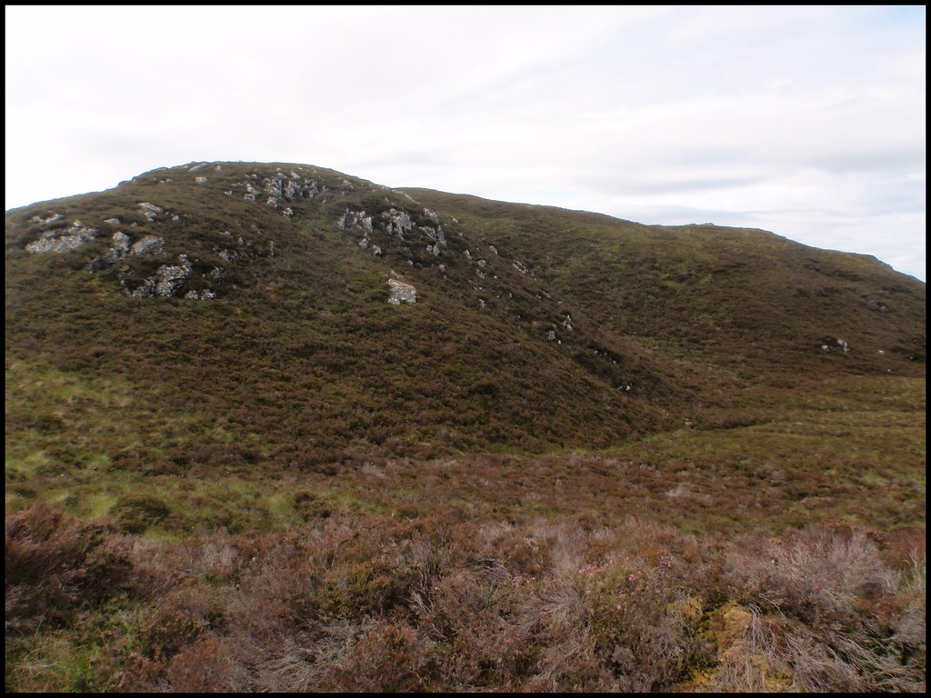 Approaching summit
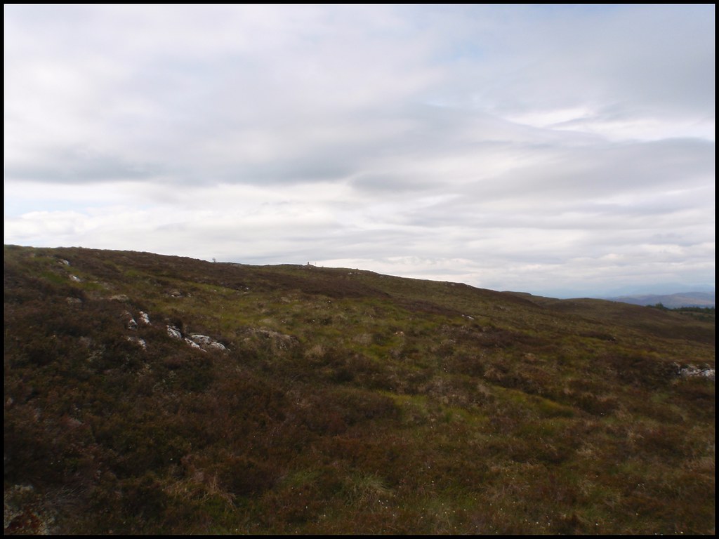 Carn a'Bhodaich summit - looking to Ben Wyvis
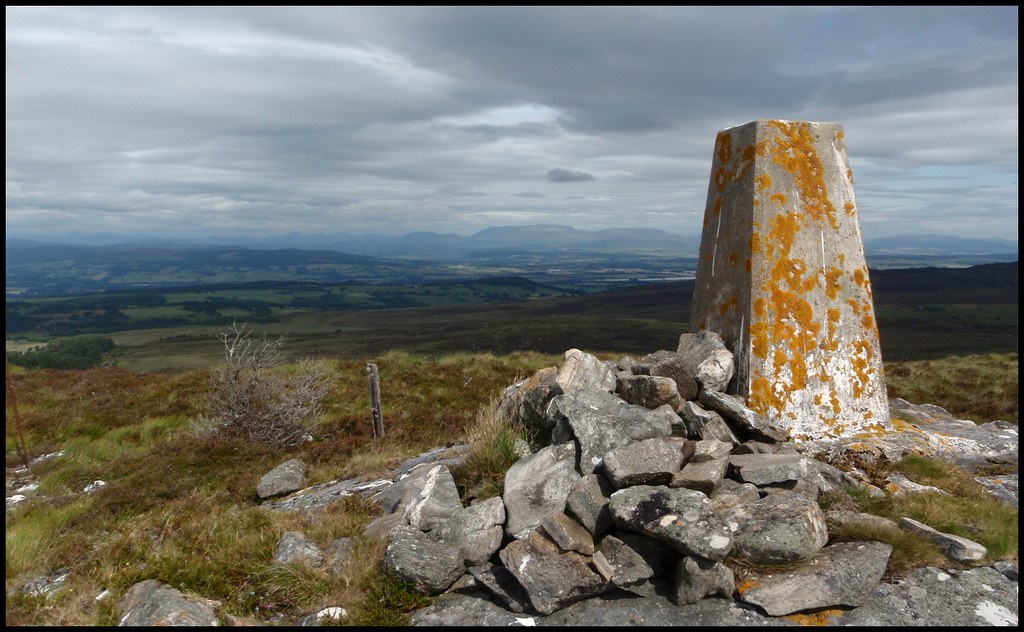 Dunain Hill, Inverness & Moray Firth
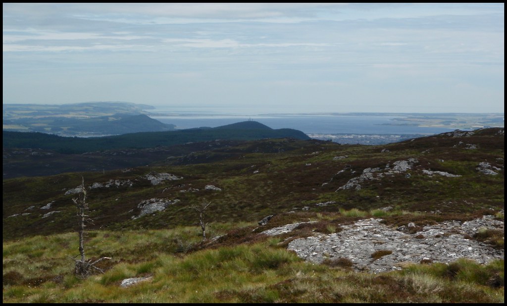 Loch Ness & Meall Fuar-mhonaidh
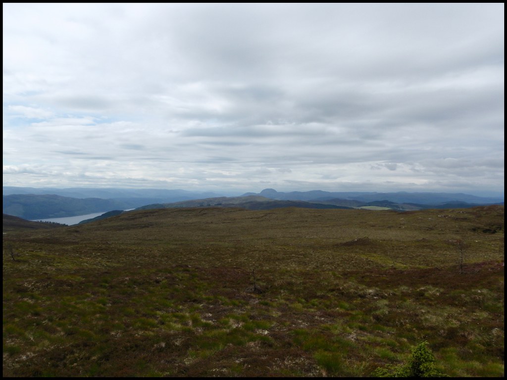 Meall Fuar-mhonaidh [zoomed]
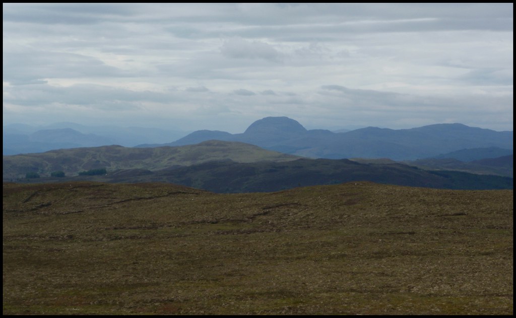
I had a quick sandwich at the summit but didn't hang around too long - the flies were annoying!
Hammered down the track with little concern for the mud!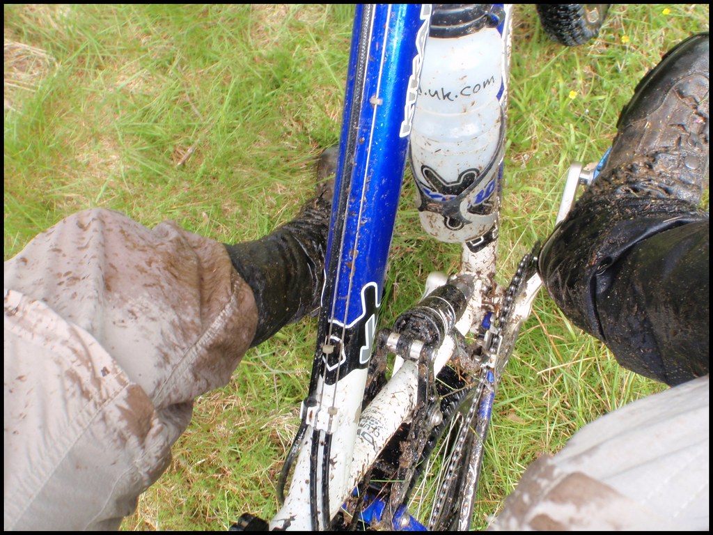 Back to Inverness in good time
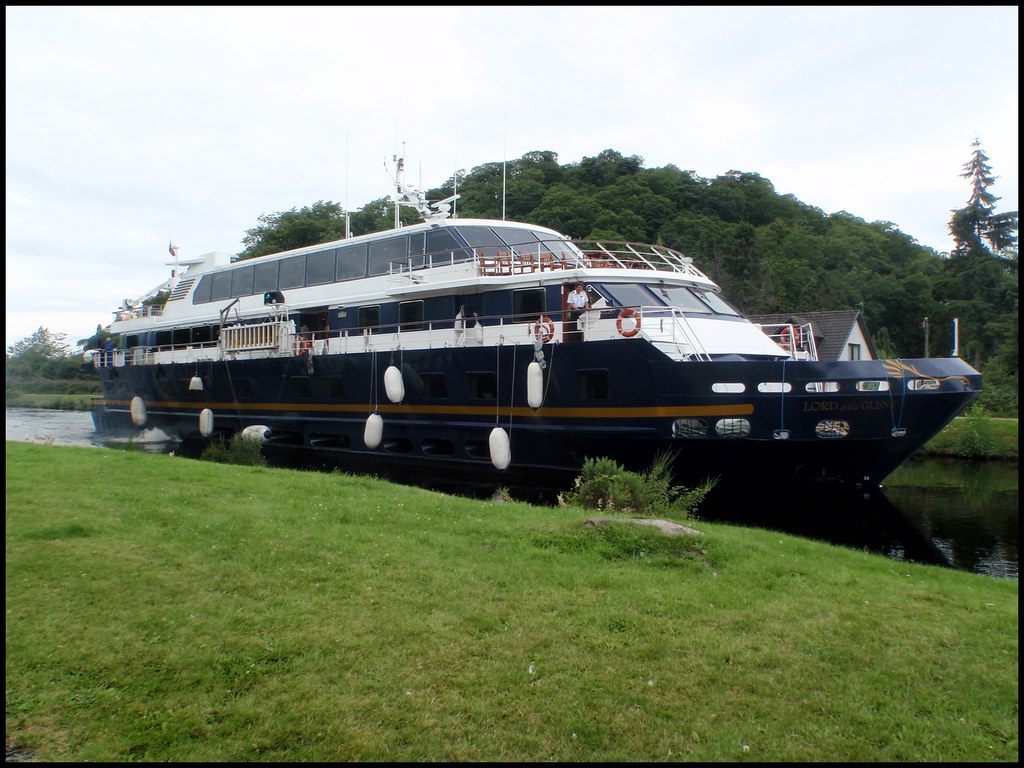
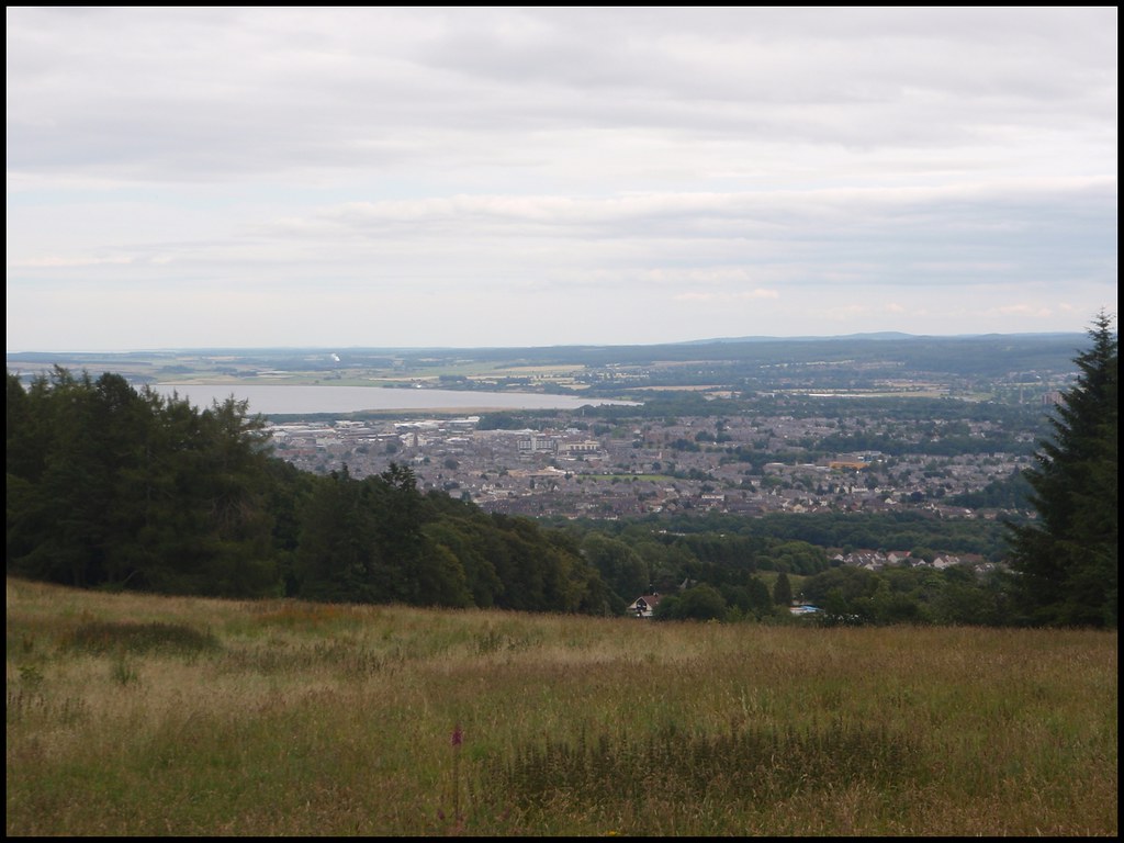 Stopped next to the canal for another sandwich and the Lord of the Glens appeared - carefully squeezing through the open swing bridge
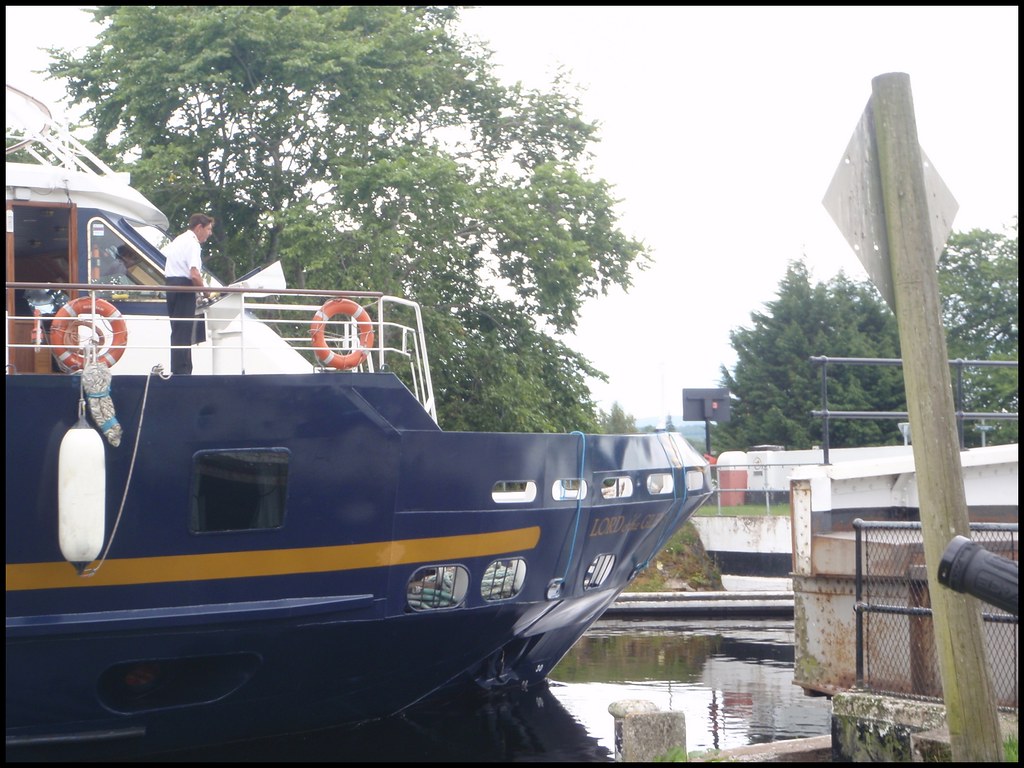
A good day out. Challenge set and completed - but I'll not go anywhere near that hill again unless it's a deep frozen winter!

