free to be able to rate and comment on reports (as well as access 1:25000 mapping).
Sub 2000 Marilyns: Eabhal.
Date: 17/08/2016.
Distance: 11km.
Ascent: 580m.
3 hours, 20 minutes.
Weather: Overcast and windy (but warm and hazy as well)
This site visit was cancelled and postponed a couple of weeks ago - something I was quite glad of at the time, as it was due to come almost immediately after my trip to Rum. Typically in a week of tropical weather, I was headed to the only gloomy corner of the UK, but the fact that it was the Western Isles more than made up for that. An early start had me in Uig in good time for the 9:30am ferry and what was likely to be the last of the sunshine for me.
Leaving Uig:
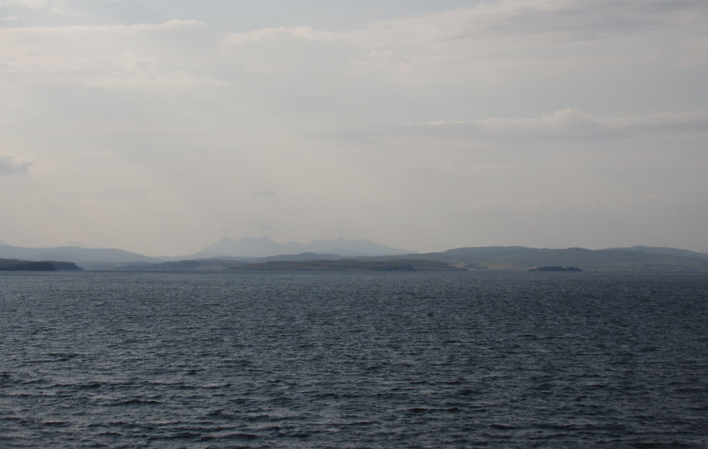
Black Cuillin:
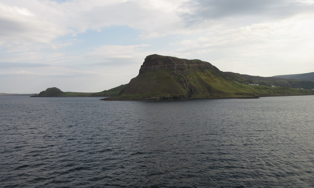
Approaching Lochmaddy - Crogearraidh Mhor prominent:
The ferry was running a few minutes early and I was the second car off, so by 11:30 am (15 minutes after I had been due to arrive), I was parked up at the end of the Loch Euphort road, ready to start walking. My meeting and site visit wasn't until the following day so I was on holiday today really. Provided the weather was reasonably clear, today's main walk had been a toss-up between the Lees (above Lochmaddy) or Eabhal. Eabhal won as it looked more impressive. There wasn't much in it really though.
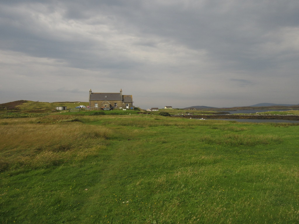
The last house in Loch Euphort:
The weather was overcast and a brisk wind had appeared that I hadn't noticed on the ferry over. However it was still warm and the cloud was relatively high, so I was looking forward to the walk. I didn't bother trying to be clever - Eabhal is almost completely surrounded by lochs with only two probable looking routes to the summit, and the most common one also looked to be very scenic. So I went for that. Although I had previously rejected the idea of a traverse of Eabhal, South and North Lee using my inflatable kayak to cross the narrowest part of Loch Euphort, I decided this might still be a good idea for a future visit

.
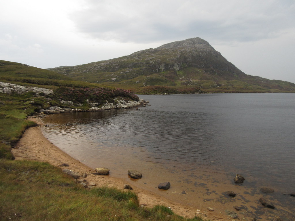
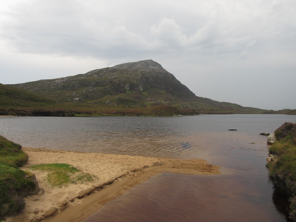
South Lee across Loch Euphort:
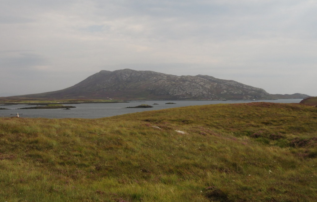
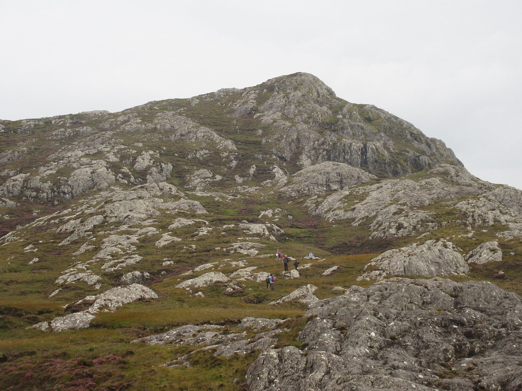
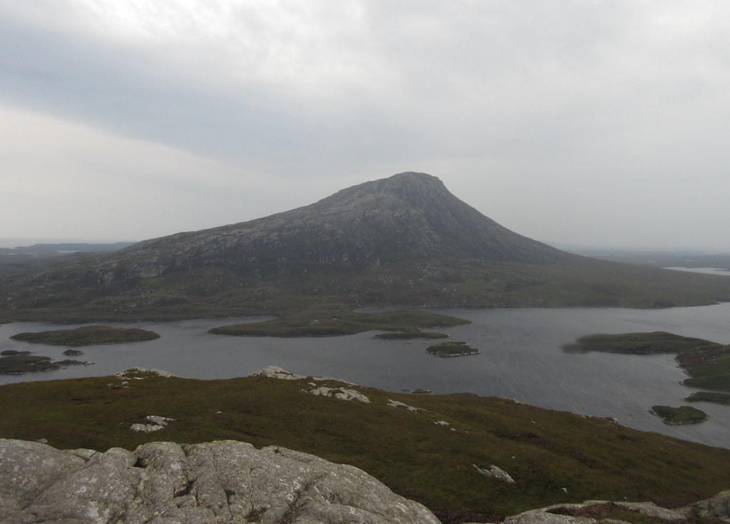
The path was pretty good (by my standards at least) and the walking was pleasant and easy, the stepping stones presenting no problem in a lowish tide. Eabhal has the opposite of false summits - although it takes a good hour to walk to the base of the hill, the real summit is in view and tantalizingly close for the entire walk.
Eabhal from the Abhainn Obharsaraigh:
Stepping stones:
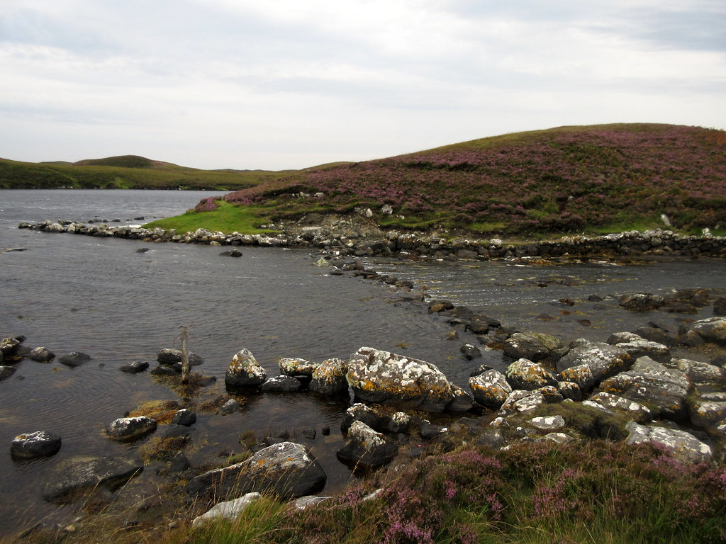
The path became a little wetter towards the east end of the loch, and fainter on the spine of the hill itself, but was pretty easy to follow.
Eabhal from the east end of Loch Obharsaraigh:
North to Burrabhal and South Lee:
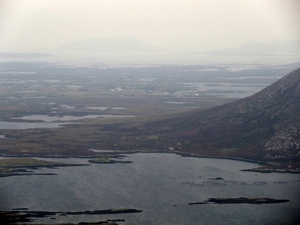
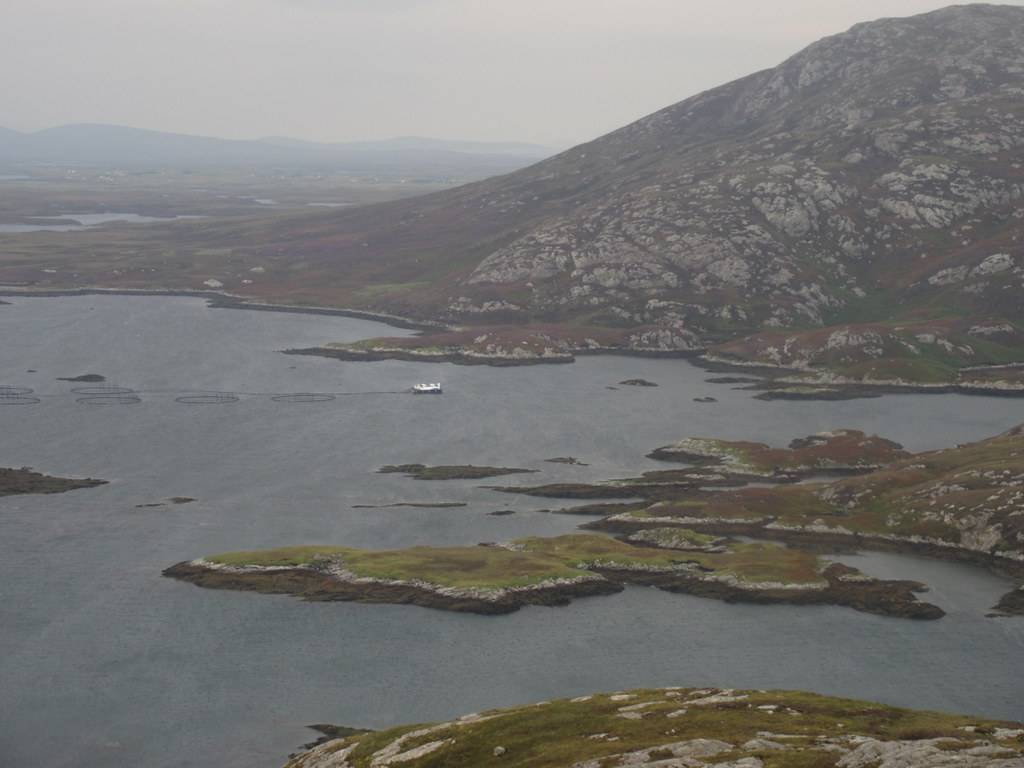
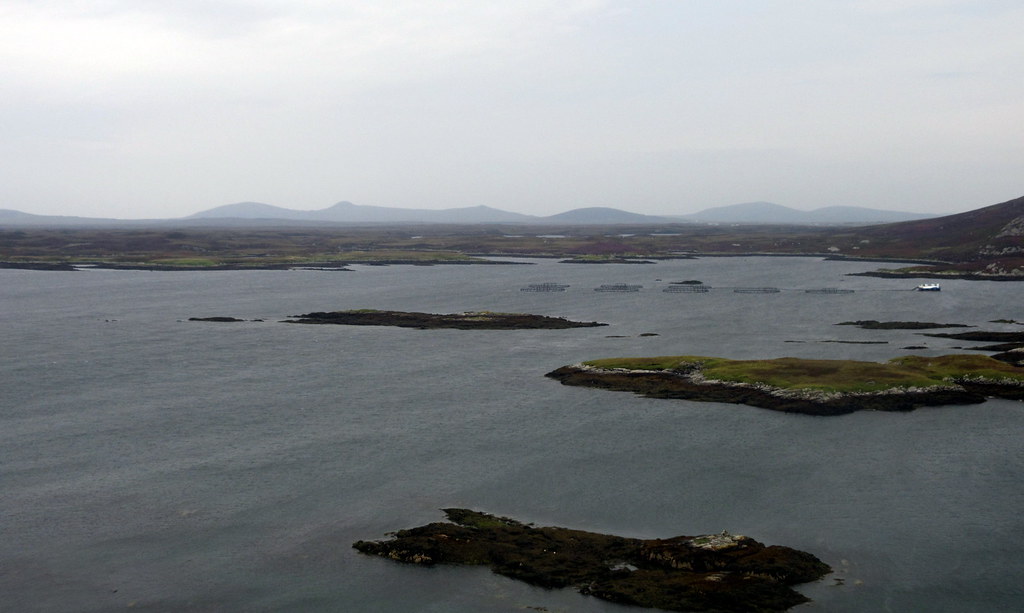
Fish farm service boat in Loch Euphort:
NW to Maireabhal:
Halfway up the hill, I passed a family group of 7 on the way down. Given that it was quite breezy at this point, they were surprised to see anyone else around. Shortly after that, a couple of (entirely optional) scrambly moves got me onto the top.
Approaching the summit - family group of about 7 just visible on their way down:
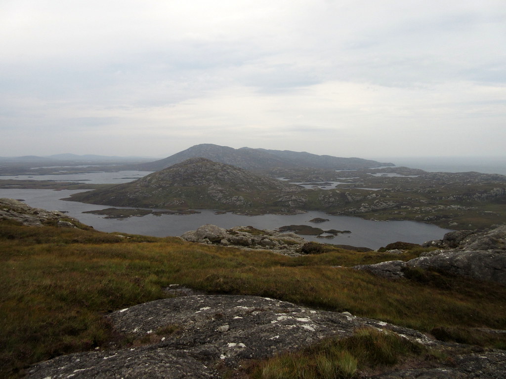
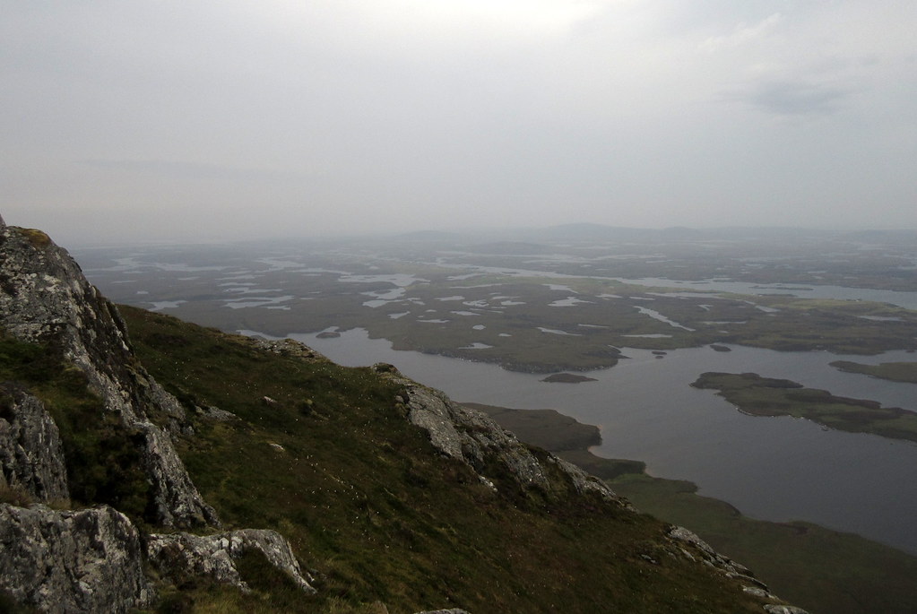
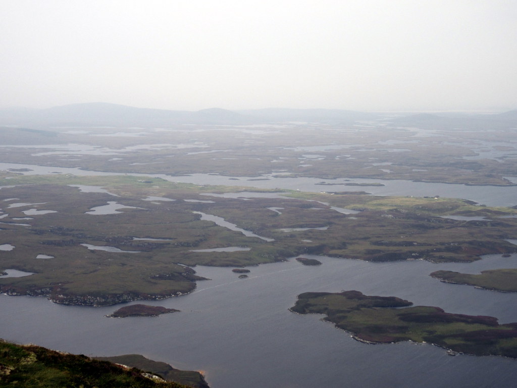
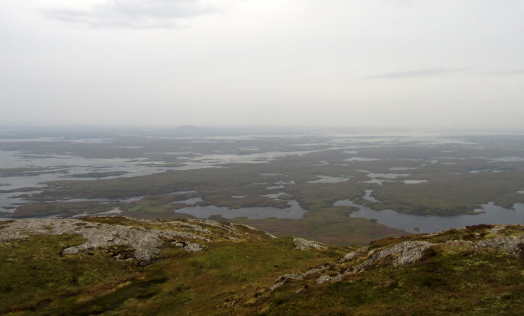
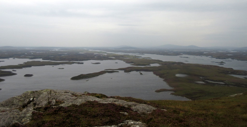
Despite the haze and greyness, it was still easy to appreciate the uniqueness of the landscape around here. It had looked impressive enough from some of the lower hills to the north and west that I'd been on last month, but the watery interior of the island was a whole order of magnitude more impressive from here

. High up the 'return to' list, this one.
Endless water. The only thing that makes Loch Euphort stand out is the strip of improved ground along the south shore:
 [/url
[/url
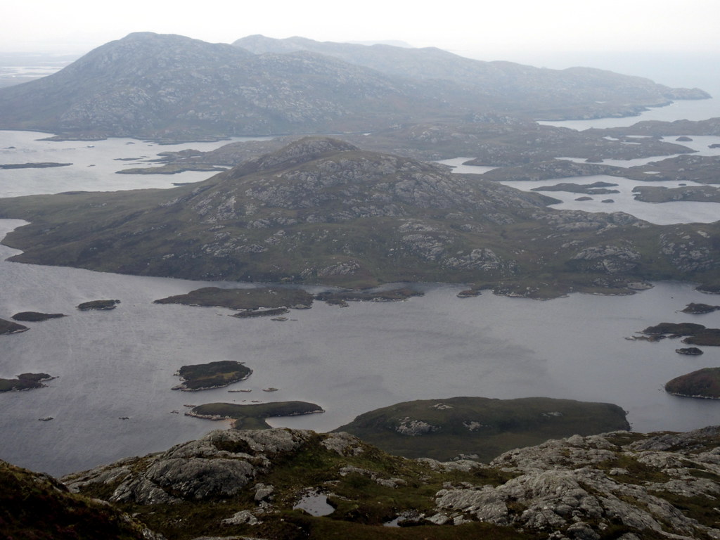
South Lee and various fresh and sea lochs. Who can tell what is what?
[url=https://flic.kr/p/W8qQbi]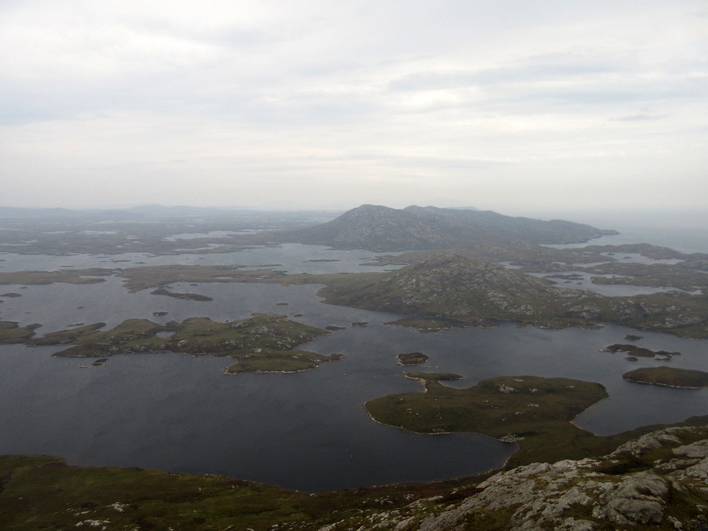
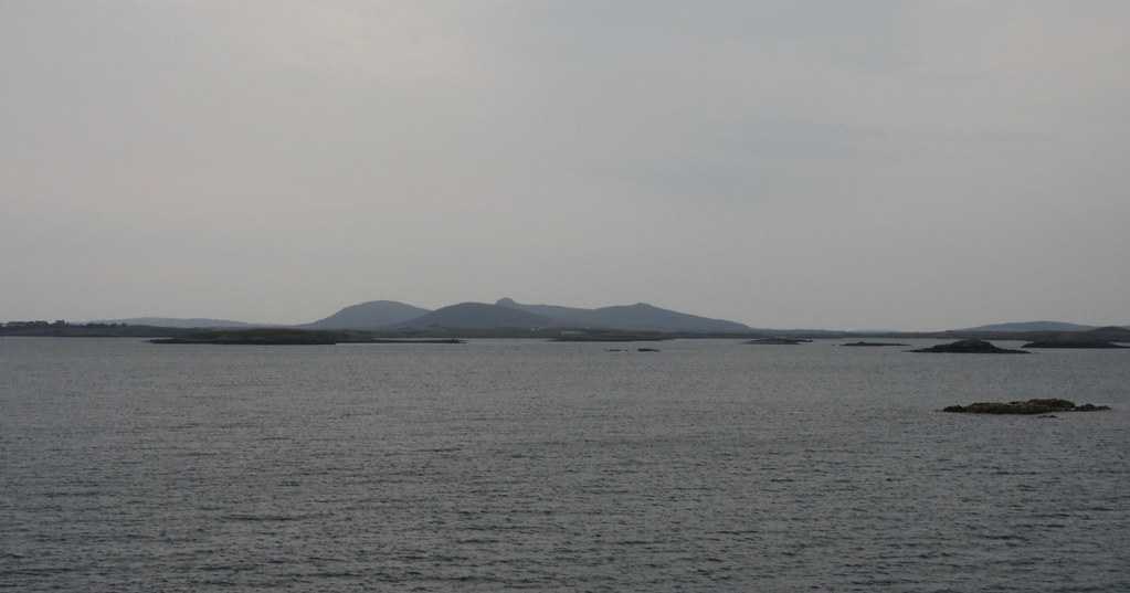
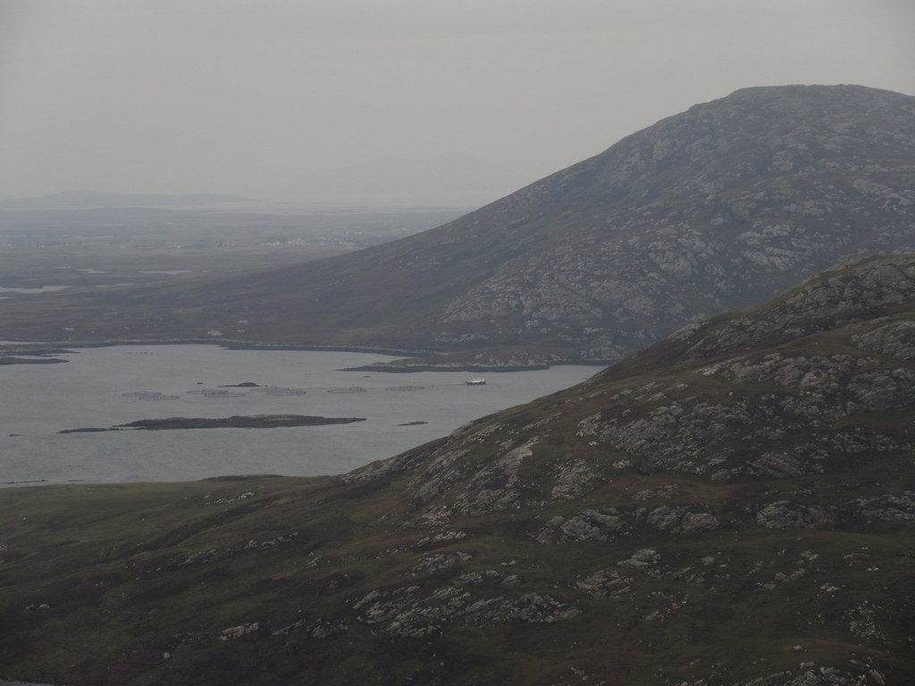
Across Lochmaddy to South Harris. Ceapabhal just visible in the haze:
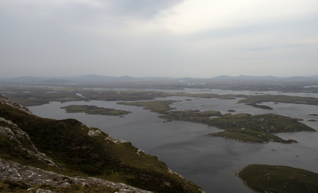
I took a stroll over to a cairn to the SW of the summit to look out over Benbecula. I thought I could just about make out the South Uist hills through the haze, but I wasn't sure. They certainly didn't show up in the photos. As it was windy here, I headed back over to the main summit for lunch.
South across Benbecula. Rubhal is the only visible hill:
Burrabhal and the Lees:
Then it was back down the same way. On the walk back round the loch, I decided to throw in Burrabhal for a little variation and a better look at the narrow part of Loch Euphort.
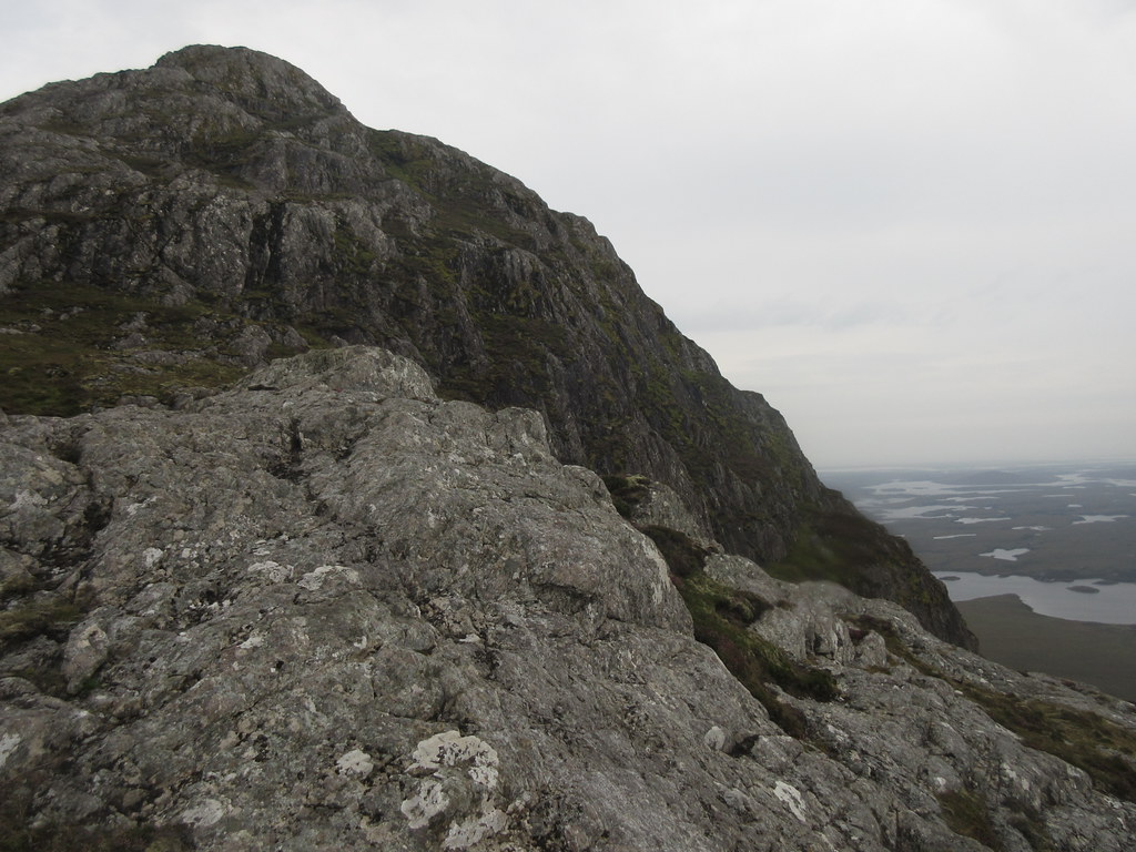
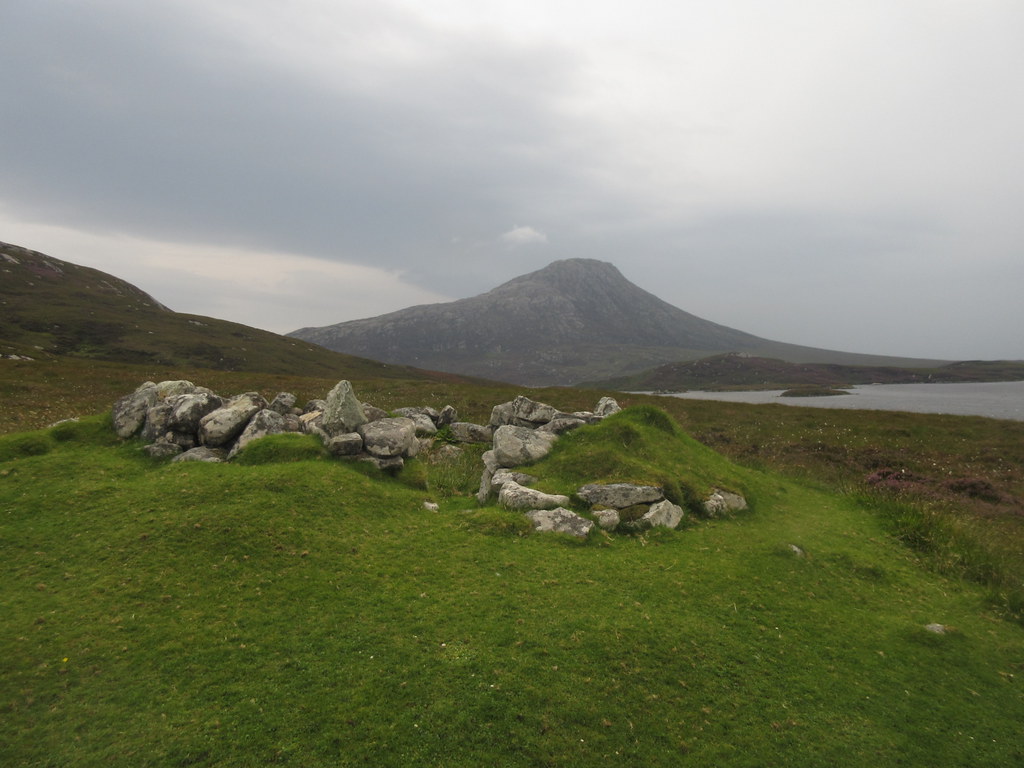
Steep N face of Eabhal:
Eabhal from Burrabhal:
Looking west from Burrabhal:
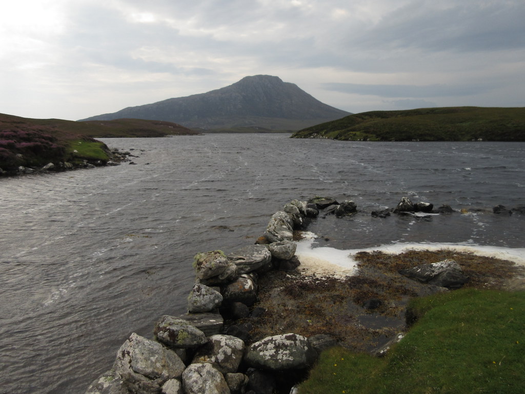
There were a couple of fun scrambly moves to the summit of Burrabhal, then I descended over towards Bagh a' Bhiorain to look out over Loch Euphort.
Loch Euphort and fish farm:
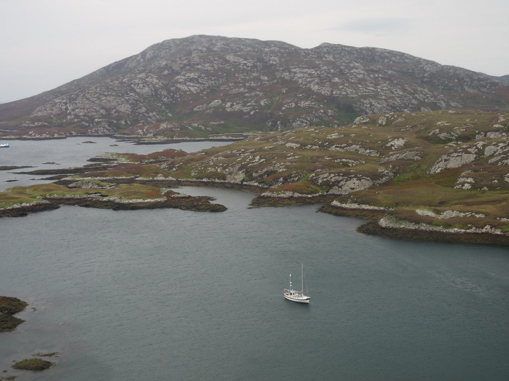
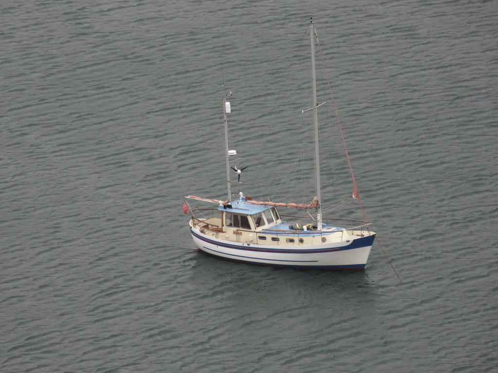
Boat in Bagh a' Bhiorain:
Crogearraidh Mhor and the central North Uist hills:
I rejoined my outward route at a stock fence, and headed back to the car. A group of 3 guys were passed at the stepping stones, each of them making harder work of them than seemed necessary - perhaps because one of them was filming, the pressure was on not to fall in!
Eabhal:
An excellent half-day of walking. The rain came on as I drove away, and I wondered about the next bit of my trip - a stay in Uisinis bothy on South Uist.
Before that, I had a visit to make in Claddach Baleshare. One of my mum's cousins and family have lived out here for years, and it seemed rude to pass without dropping in. I had tried to find their place last month but had been thwarted by the (lack of) logic applied to croft numbering. Turns out I had driven right past their house last time, which overlooks the causeway over to Baleshare, and I managed to while away a good couple of hours catching up there.
