free to be able to rate and comment on reports (as well as access 1:25000 mapping).
Drawn back to Ardnamurchan after 4 days last weekend - how could I resist such a fine place. Weather wasn't promising much - heavy rain and gale force winds promised for Friday overnight. Not something that's likely to stop us

Away from work about 3.30pm and a drive up to the Corran Ferry then on to Sunart - choice of either Strontian or Resipole campsite. we hadn't stayed in the latter and it was a bit closer to Saturday's hills, so we chose there. An email from Rory at the campsite said it was fine to turn up and pitch if we were later than the reception opened, also the Resipole Hill Race would be happening on the Saturday. I'd no idea what thet meant in terms of business, but reckoned hill-runners wouldn't be too rowdy - they're fit buggers.
We arrived at the site at 7 and got pitched near a young couple who were in the hill race and who had secured their small tent to a nearby tree with a tow rope. Inventive. As it happened, the wind wasn't bad at all overnight (or maybe that;s just the Hilleberg for you - could be a storm outside and you'd never know

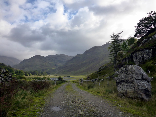
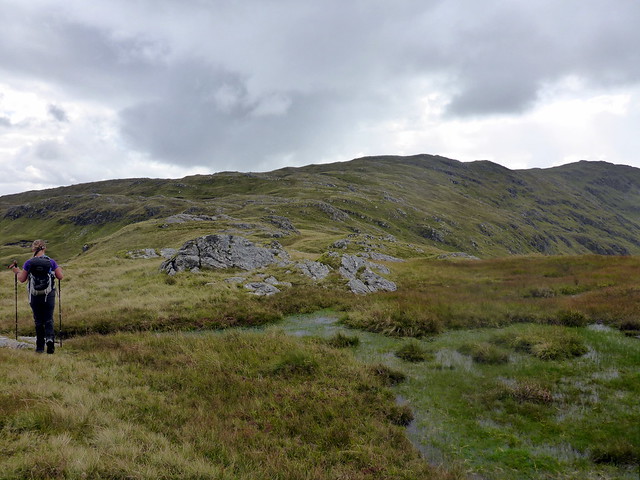
) Saturday morning was dryish and we hoped the weather would behave itself for us and for the runners. Called in at reception, paid for the tent and chatted to said Rory, who told us about 35 runners had registered and there would be a music session about 8.30 that night. Drove along to Kinlochmoidart, passing Fergie MacDonald - the Accordion King - in Mingarry. Parked up at the end of the public road and set off to the footpath through the glen, passing a sign asking you to phone about your route for stalking purposes. Not exactly easy when there's no phone reception - much easier if the info had been put up on line - I couldn't find any info on numbers to call for these hills during the week. I felt a bit uncomfortable at not being able to phone - though we saw nor heard any sign of stalking during the day.
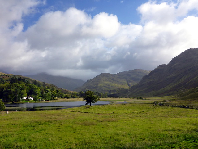
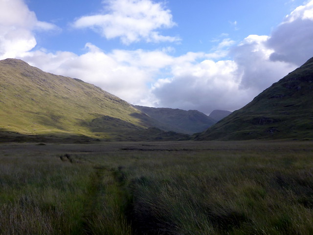
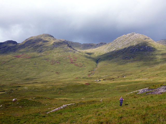
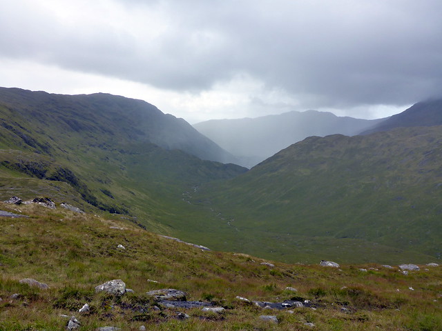
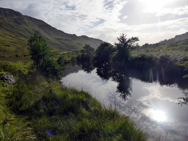
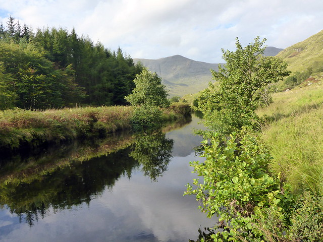
The conquest of Croit Bheinn and Beinn Gaire involves a long walk up through Glen Moidart then Glen Gluitanen. Glen Moidart is reputedly one of the wettest glens in the west, just what we wanted after a couple days heavy rain. Snorkelling gear maybe? The first section's fine - along track on the east of Loch na Lochan and across the River Moidart on a footbridge. The bogginess started now - although much of the next few kilometres has timber laid down along the ATV track which helped considerably. We passed a broken Argocat tread - God - if it's too rough for Argocats how will we fare? To our left were a couple of Simms - Sgurr Dhomhuill Beag & Mhor - which I'd thought about including in the route but considered against. Another time. We continued along the floor of the glen, going from 39m height above sea level to a dizzy 94m after walking for about 6km. Hmmm. We passed evidence of former habitations - maybe sheilings? at Assary and Ulgary. At Bealach na Lice one needs to climb the height on the left to get through the pass, then drop down a bit, continuing up alongside the river. We stopped for lunch within clear sight of Croit Bheinn and considered the best route up.
 P1130826
 by
Al, on Flickr
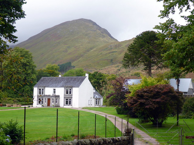
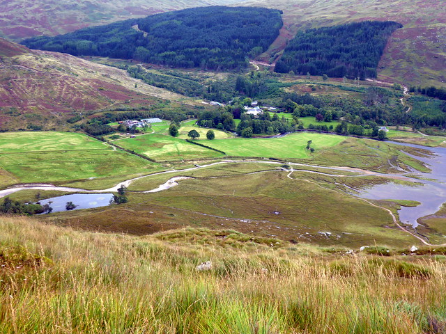
Kinlochmoidart House
 P1130827
 by
Al, on Flickr
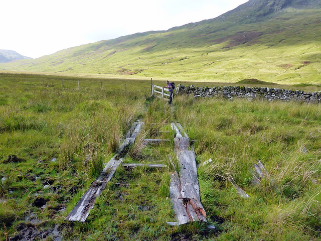
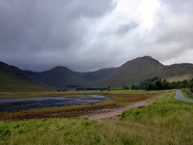
Argocat track
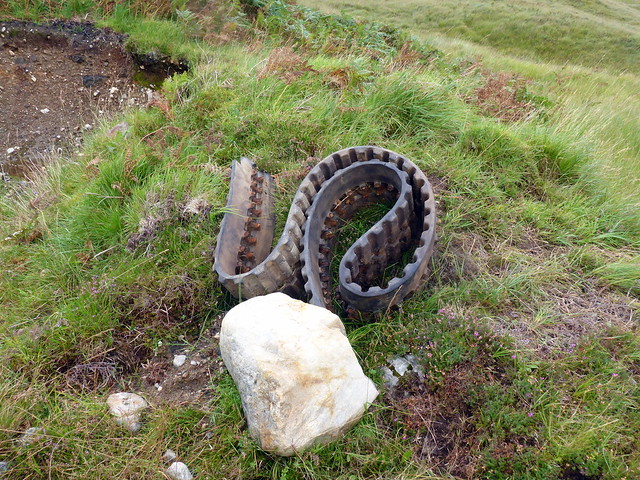 P1130829
 by
Al, on Flickr
 P1130831
 by
Al, on Flickr
 P1130832
 by
Al, on Flickr
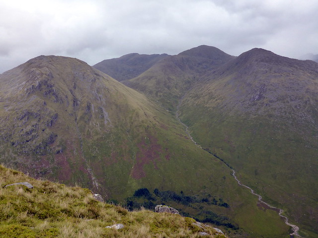
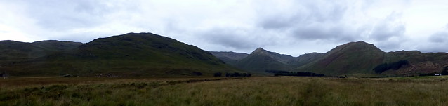
The Simms we didn't do
 P1130833
 by
Al, on Flickr
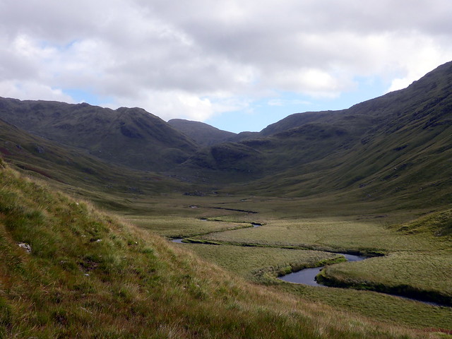
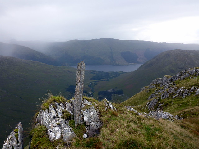
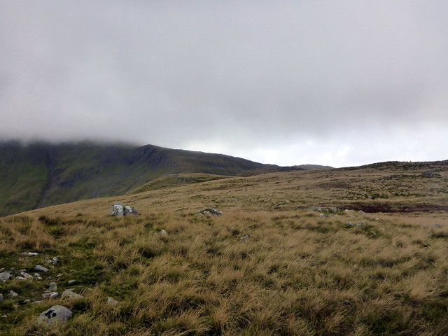
View to Bealach na Lice
 P1130834
 by
Al, on Flickr
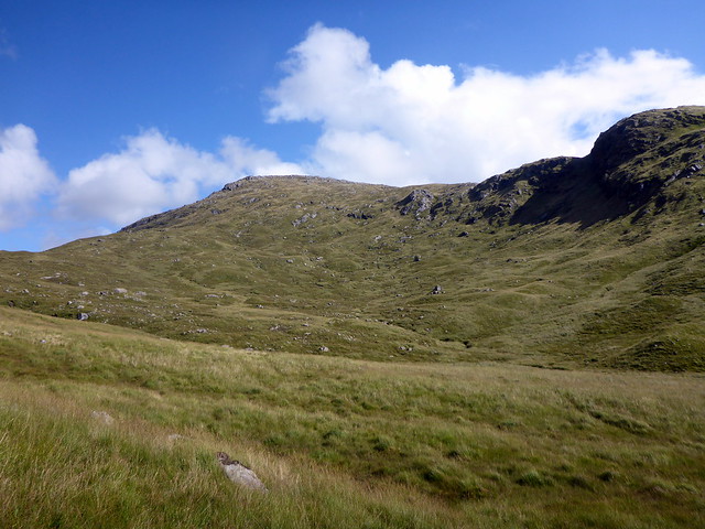
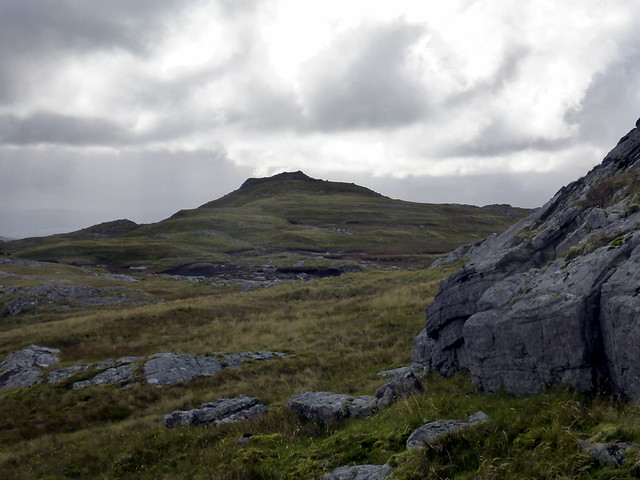
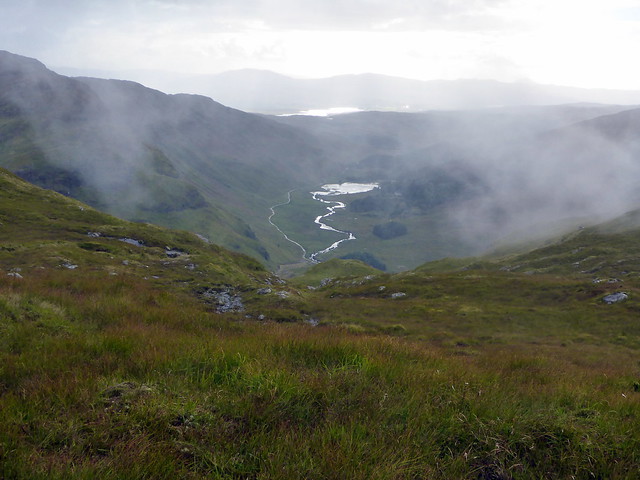
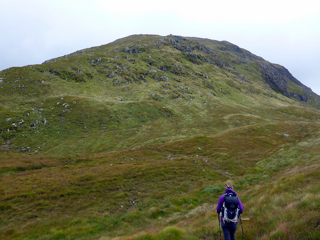
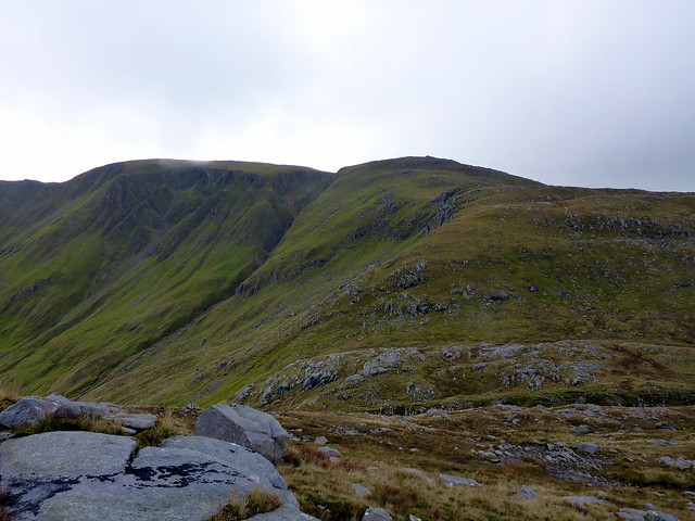
Croit Bheinn in the distance
 P1130837
 by
Al, on Flickr
Croit Bheinn
 P1130838
 by
Al, on Flickr
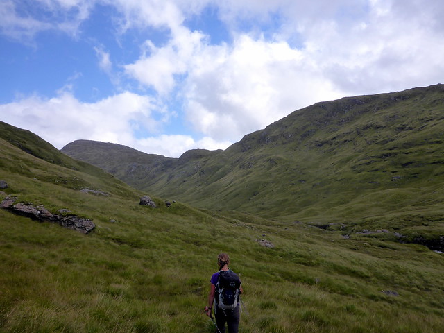
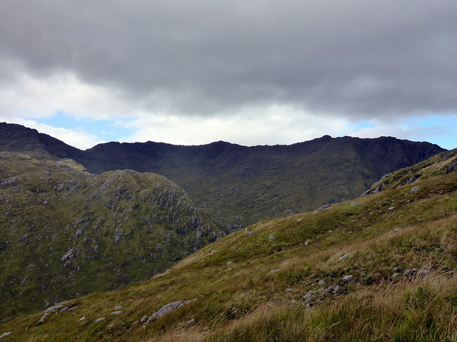
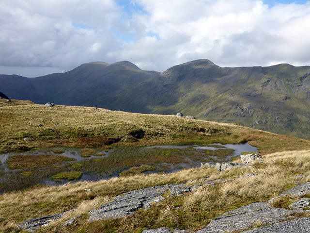
It's a steady pull over grass with the odd crag thrown in. Most of the dreaded ferns have withered away to brown husks - though these can still trip you up- evil to the end. Over to the left is Druim Fiaclach - the toothed ridge - I'd been up on when first climbing the Rois Bheinn hills. As we neared the summit I could see the rain following us up the glen - it was time for waterproofs, but fortunately only a couple of showers. At the summit there were great views to Beinn Odhar Bheag and Beinn Mhic Cedidh - fondly remembered as "the day of the Clegs". With a glance to Loch Shiel to the east, we headed back down to Bealach a'Choire Mhoir and onto our next hill - Beinn Gaire.
Druim Fiaclach
 P1130839
 by
Al, on Flickr
Rain chasing us up the glen
 P1130840
 by
Al, on Flickr
Summit - looking to Beinn Odhar Bheag/Mhic Cedidh
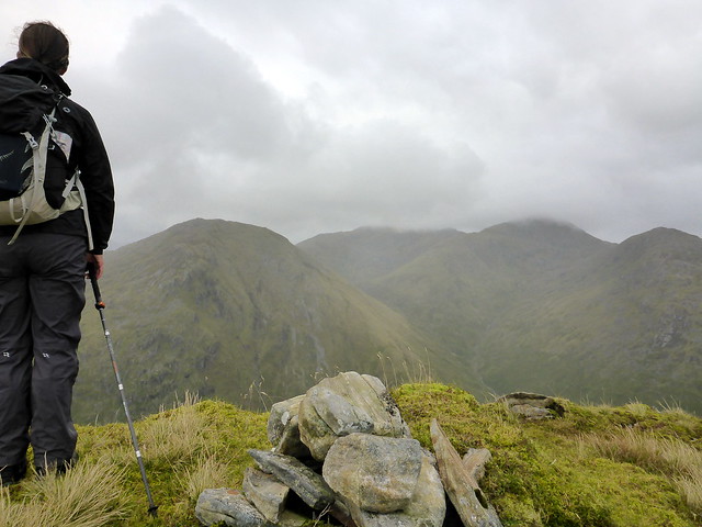 P1130844
 by
Al, on Flickr
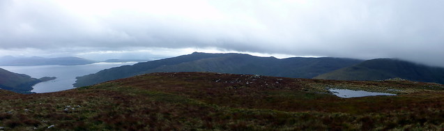
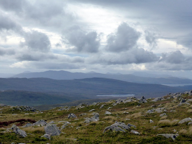
Loch Shiel
 P1130846
 by
Al, on Flickr
Odhar Bheag
 P1130847
 by
Al, on Flickr
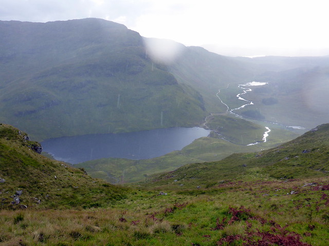
This involves a lengthy walk over undulating ridgeback, having to avoid peat hags and other soggy parts in places. The eye is drawn to Sgurr na Ba Glaise and Rois Bheinn on the right. Over a minor summit then on to the peak - a devilish 666m spot height at the top. From here I could see the sun silvering Loch Moidart over to the west, looking like a giant shiny jigsaw piece. Beinn Resipole loomed bulky and dark on the left. Rain came on heavily for a time during the descent - our route followed Allt na Fhithich down between the rocky prominence of Sgurr Gorm and Sron Dubh an Eilich. Again boggy going in places and steep too - we crossed to the north side of the Allt and met a fence line which we followed down to the reservoir, before regaining the track at the Hydro building. Pausing for a few moments by the River Moidart, I watched an eagle soar effortlessly along the top of Creag nan Lochan back and forward. Glorious.
To Beinn Gaire
 P1130849
 by
Al, on Flickr
Rois Bheinn hills
 P1130852
 by
Al, on Flickr
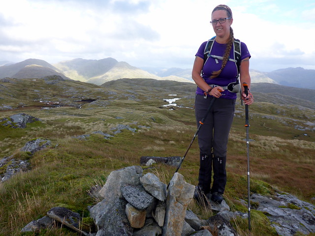
Beinn Gaire
 P1130854
 by
Al, on Flickr
 P1130856
 by
Al, on Flickr
Loch Moidart
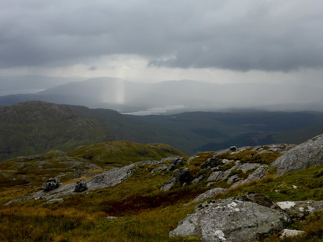 P1130857
 by
Al, on Flickr
Beinn Resipole
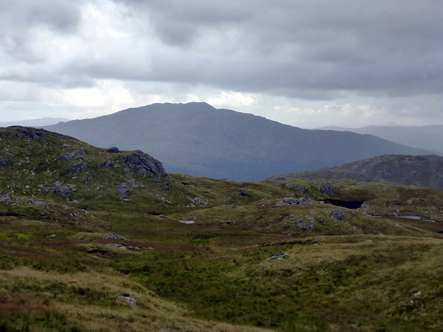 P1130859
 by
Al, on Flickr
View back to Kinlochmoidart
 P1130860
 by
Al, on Flickr
Reservoir
 P1130862
 by
Al, on Flickr
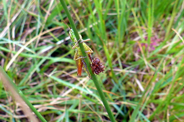
Cricket
 P1130864
 by
Al, on Flickr
 P1130866
 by
Al, on Flickr
 P1130870
 by
Al, on Flickr
 P1130871
 by
Al, on Flickr
 P1130872
 by
Al, on Flickr
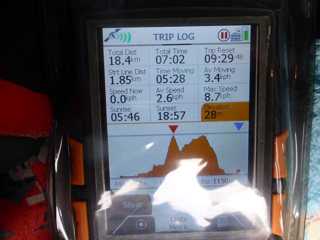
Back at the car in seven and a half hours, not bad considering the rugged terrain. Back to the campsite, stopping off at the store in Acharacle. We ate well in the tent whilst the heavens opened. As we were camped just a short distance from the marquee the music was to be held in we waited to see what would happen - 8.30 came and went and no music (unless it was one of the fabled Silent Celidh evenings
). Anyway sleep beckoned we heard nothing but the rain and wind all night. Sunday morning was bright initially - we chatted to the hill running couple in the wee tent who had been very pleased with the event and the post-event buffet. We sdaid our goodbyes and drove down the Lochaline road, turning off for Kingairloch then doubling back onto the lower road just before Camusnacroise and parking just past the Boathouse Restuarant. The tops of the hills were still clad in cloud and the weather didn't look all that promising - very windy indeed from the moment we left the car.
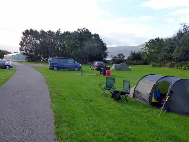
Campsite
 P1130873
 by
Al, on Flickr
The route for Beinn Mheadhoin starts just beyond the power station and uses the forest track to head up Sgurr Shalachain - most of the forest now having been felled. We left the footpath when we reached a sign saying Footpath to Shalachain Flats and simply headed up the open hillside on our left. The going is reasonably easy after some long grass at the start - mostly short grass/heather. We made the top of Sgurr Shalachain in good time, fighting against a fierce wind all the way. The cloud was starting to lift on the summit of Mheadhoin and I hoped we might be in for a clear view when we reached the top. Before that however we had a Simm - Meall na Greine - to visit, a pleasant trot along the broad ridge. We found a (relatively) sheltered spot for lunch out of the wind. We could hear the chuntering of the quarry workings when the wind dropped.
Sgurr Shalachain to the right
 P1130874
 by
Al, on Flickr
Kingairloch House
 P1130876
 by
Al, on Flickr
Shalachain
 P1130879
 by
Al, on Flickr
 P1130883
 by
Al, on Flickr
Top of Meall na Greine
 P1130885
 by
Al, on Flickr
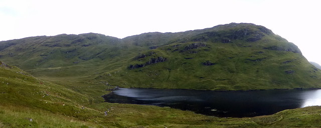
Beinn Mheadhoin
 P1130887
 by
Al, on Flickr
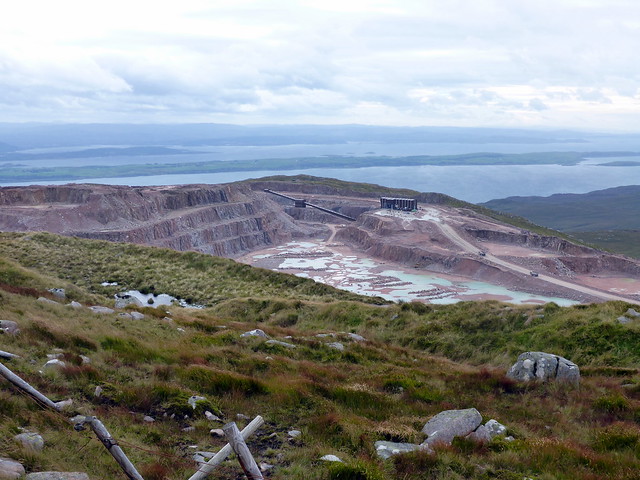
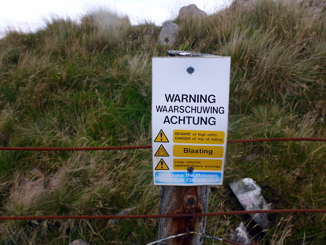
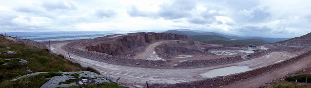
From here we followed a fence line down into Bealach a'Choire Bhain then round to the summit of Beinn Mheadhoin - graced by a pointy cairn and a trig point. Views were grand - out to Mull to the west, where I could make out the twin Grahams, spiking up in front of Ben More, that we still have to climb. Next we continued SE to Beul Coire nan Each, another Simm. From here the circuit from Beinn na Cille/Fuar Bheinn/CreachBheinn stood out to the north. We drew ever closer to the superquarry and finally we could see it over the hillside - huge area of rock that's been hollowed out of the mountain. Continuing round the horseshoe there's a fence and warning signs about the quarry (in case you don't spot it
). I wondered how on earth they got those huge dumper trucks there in the first place - didn't come over in the Corran Ferry I bet!
Summit Mheadhoin
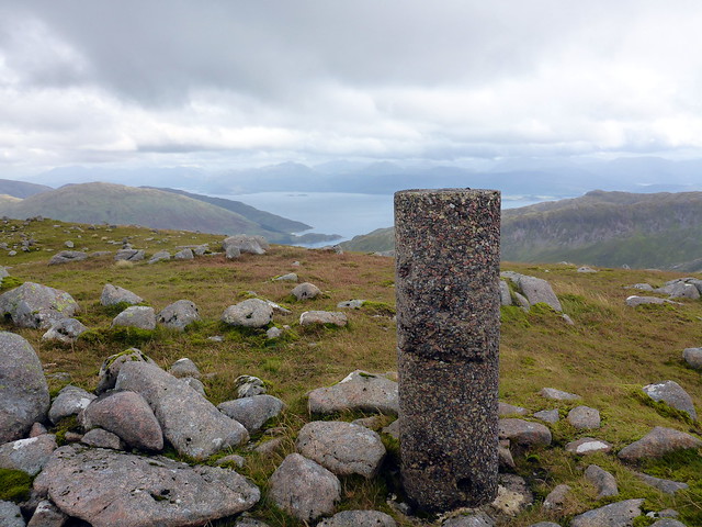 P1130892
 by
Al, on Flickr
Ridgeline ahead
 P1130893
 by
Al, on Flickr
 P1130894
 by
Al, on Flickr
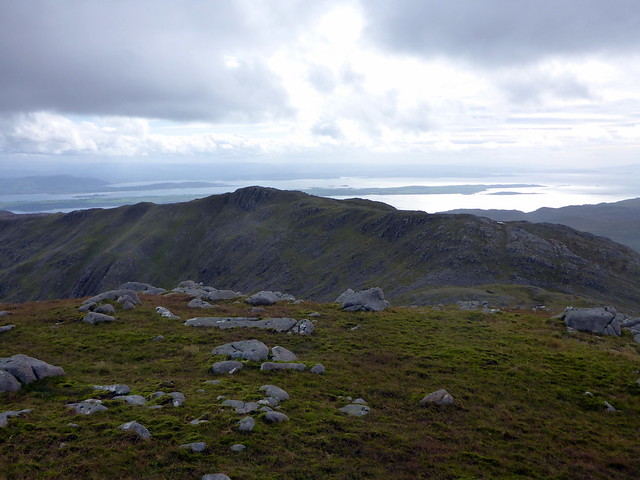
View towards Mull
 P1130897
 by
Al, on Flickr
Glensanda Quarry
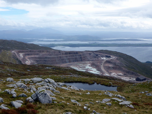 P1130899
 by
Al, on Flickr
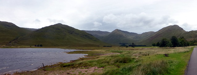
Fuar Bheinn/Creach Bheinn
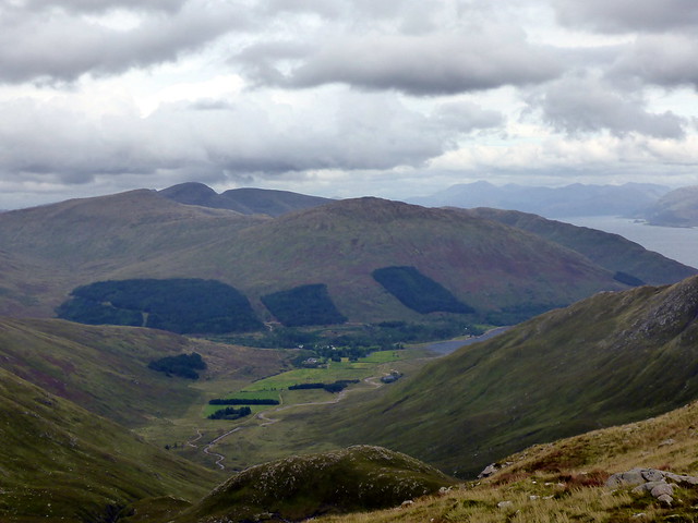 P1130900
 by
Al, on Flickr
 P1130902
 by
Al, on Flickr
 P1130903
 by
Al, on Flickr
 P1130904
 by
Al, on Flickr
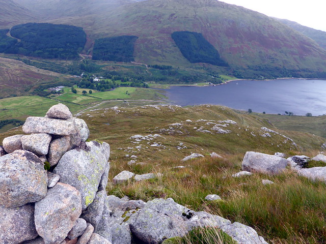
Our descent route followed the line of Meall an Doire Dhubh, undulating a bit. At the last (cairned) knobble there's a stalker's path that makes the final descent easy, though the last section has become something of a quagmire. Back on flat land at South Corry, we followed the road then footpath, across a couple of bridges and past North Corry farm back onto the road. A fine day's outing - even the weather played ball (except for the wind). On the drive back to Corran Allison squealed with excitement as a large sleek black otter jumped down from the sea wall just ahead of us and nipped over the road into the ferns. We got to Corran just as the ferry was loading

and enjoyed a rather choppy crossing. Lots of idiots on the road overtaking in all kinds of daft places - but we made it home in good time.
You can just see the stalker's path to the right
 P1130907
 by
Al, on Flickr
 P1130908
 by
Al, on Flickr
 P1130910
 by
Al, on Flickr
Mossy wall
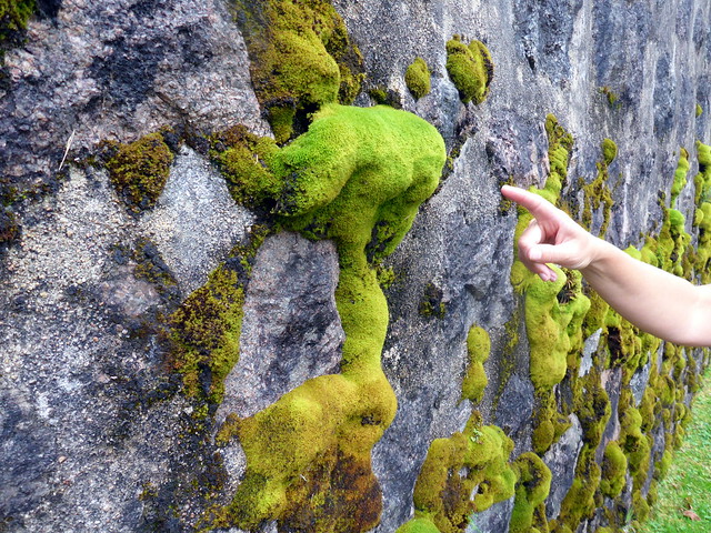 P1130912
 by
Al, on Flickr
Beinn Mheadhoin being the middle one, funnily enough
 P1130913
 by
Al, on Flickr
 P1130914
 by
Al, on Flickr
