free to be able to rate and comment on reports (as well as access 1:25000 mapping).
Sub 2k Marylins: Beinn Sgulich.
Date: 14/09/2016.
Distance: 5.5km.
Ascent: 480m.
Time: 2 hours.
Weather: Overcast at start, turning to warm, sunny, hazy
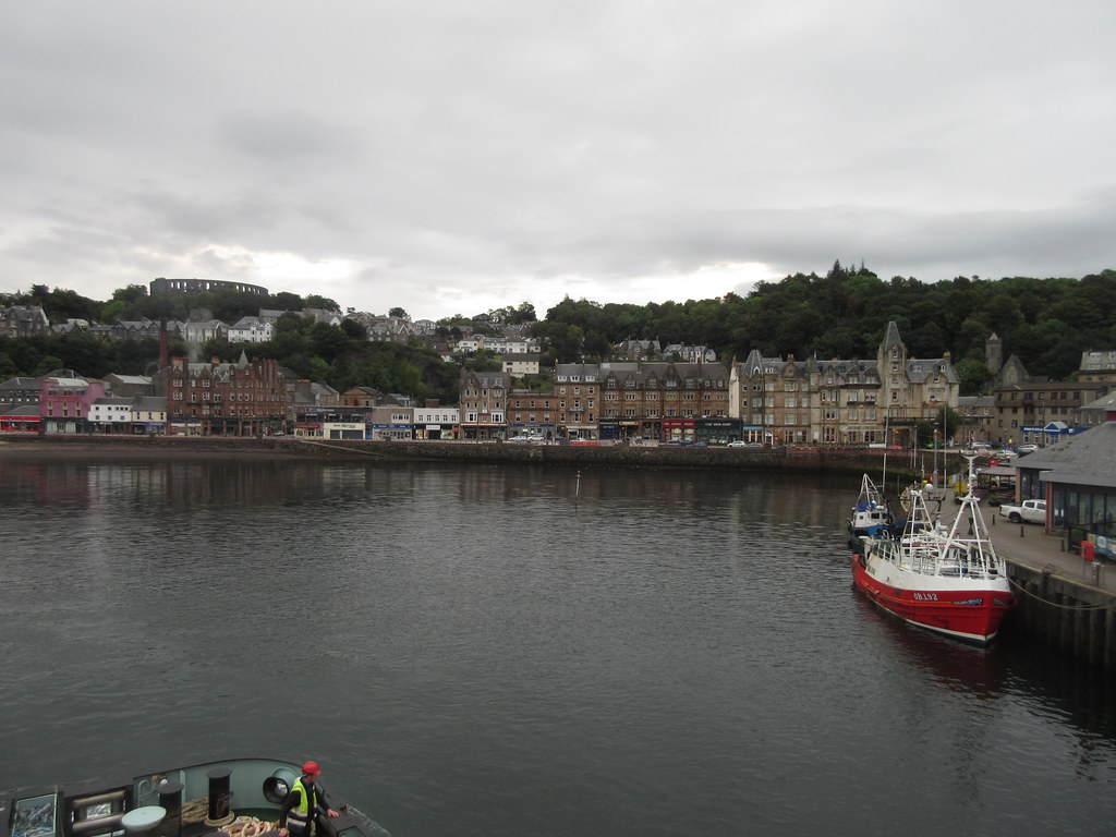
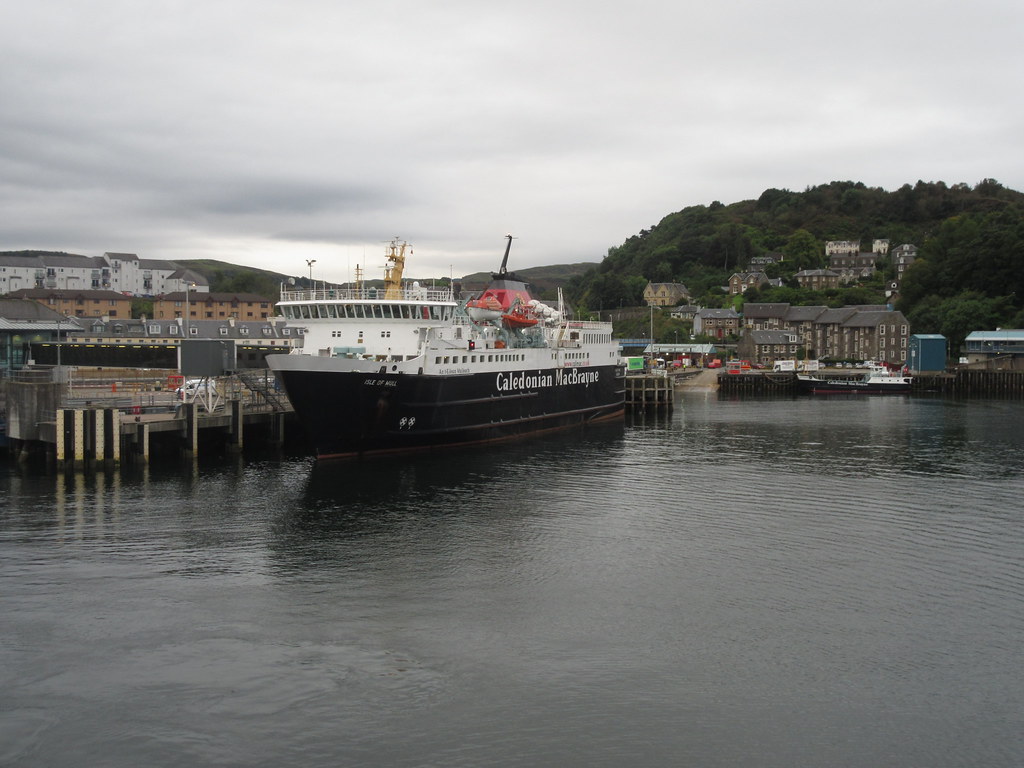
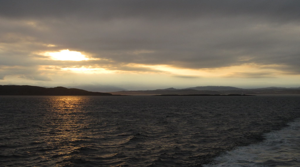
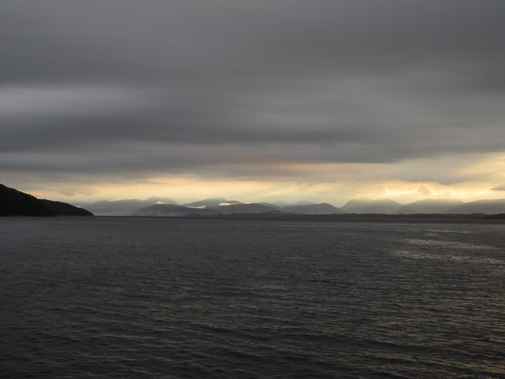
This is more of a photo-fest with a short walk report tagged on the end. A site meeting had come up at fairly short notice on Coll, and despite planning to fly out, the morning flight was fully booked (all 7 seats of it) so I had to get the ferry instead. I drove down to Oban the previous evening, nipping up Beinn a' Mhoncaig in Glen Roy along the way (pleasant enough, but too cloudy to be worth a report). Up first thing and onto the ferry at 7:15am for the scenic journey across the Firth of Lorne, up the Sound of Mull and out past the Treshnish Isles. Sunrise was spectacular and the sea was calm, although later on things were a bit grey.
Oban Harbour:
Mull ferry:
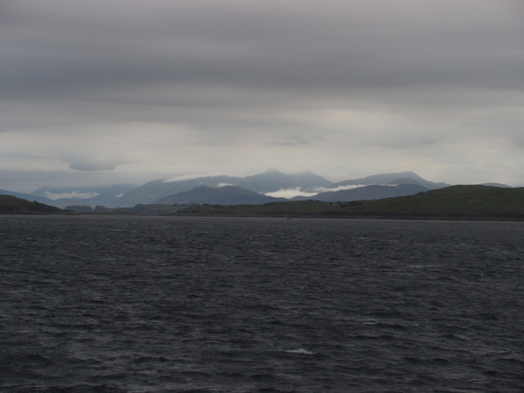
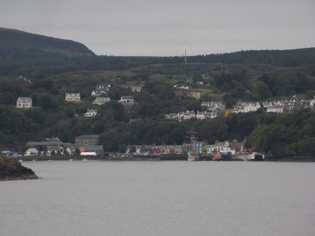
Dun Da Gaoithe on Mull:
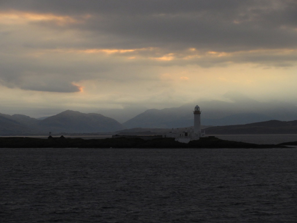
Eilean Musdile lighthouse:
Beinn a' Bheithir:
Sunrise looking back to Oban and Ben Cruachan:
Up towards the back of Glencoe:
In the Sound of Mull - looking back to Beinn Talaidh:
Passing Tobermory:
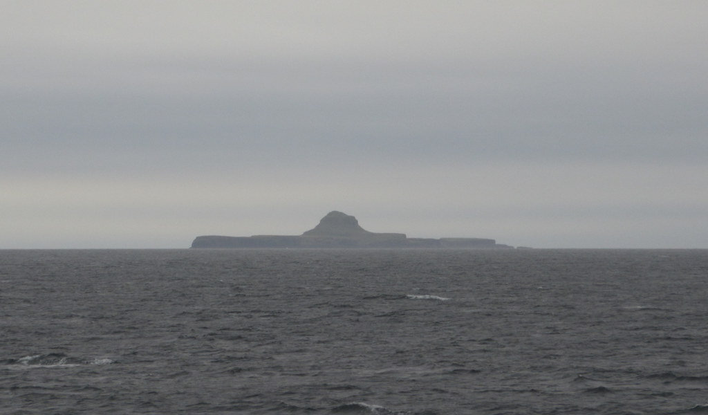
Dutchman's Cap:
Because there was a cattle market on somewhere in the Uists, the ferries were disrupted and re-timetabled, and we ended up visiting Tiree first, before making our way back to Coll. This is unusual, turning the 3 hour Coll journey into an almost 5 hour trip. The ferry was then continuing to Barra afterwards, so it was interesting to watch the traffic movements required to allow the various vehicles on and off at the right ports.
Tiree:
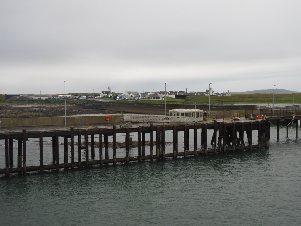
Finally approaching Arinagour on Coll:
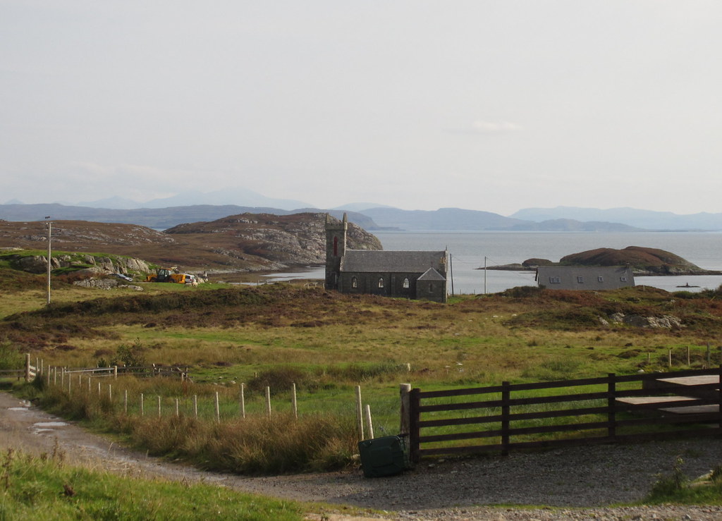
I eventually got off the ferry on Coll at around midday - the time had passed pretty quickly. We had about 3 hours to wander round in the bog looking at a route for a water main before it was time to head over to the airport and back home. Unfortunately this didn't really leave any time for sightseeing.
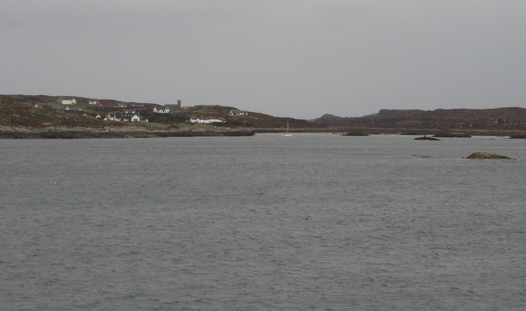
Looking back to the mainland from Arinagour:
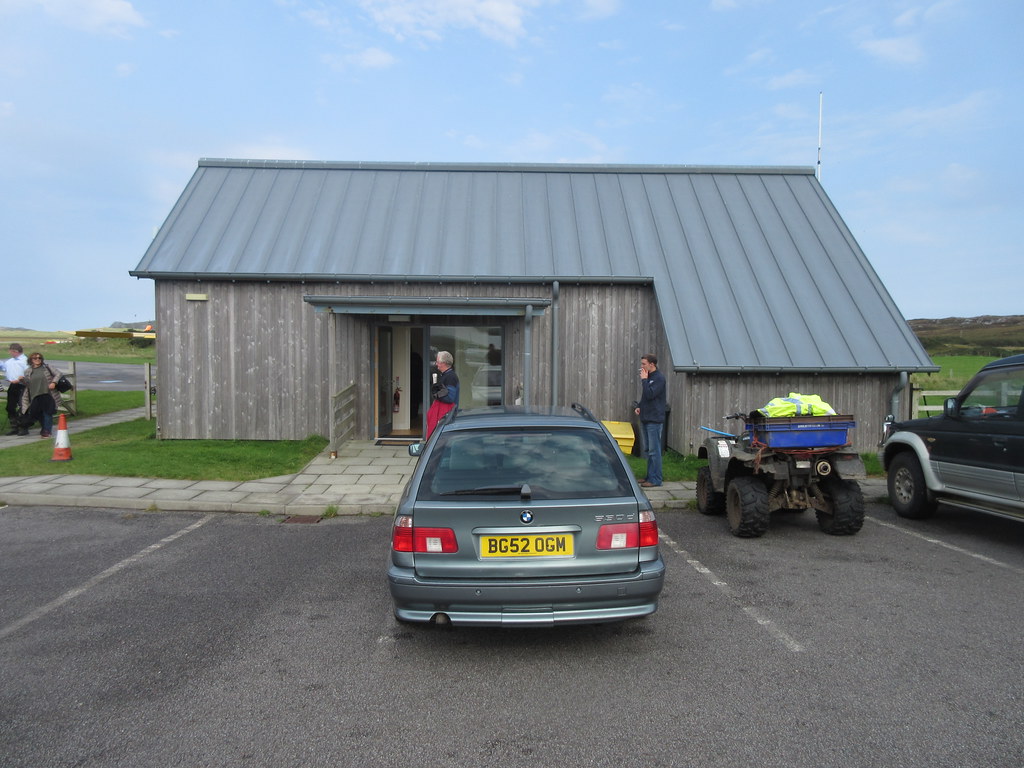
The airport makes the one on Barra look big and fancy - nothing here except a waiting room and a small control room. The plane itself is even smaller than the Twin Otter that runs the Flybe service out to Barra. The plane came in from Tiree a good 40 minutes early, and since everyone was there (how did they know? Nobody asked me for any ID), we set off early.
Airport:
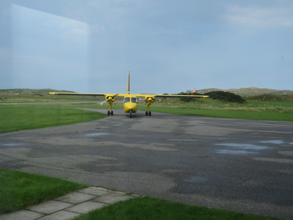
Plane:
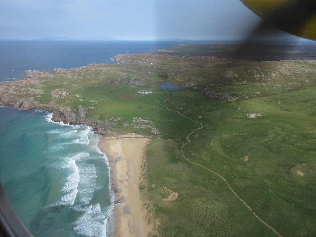
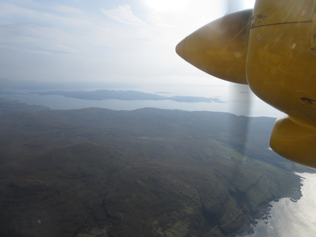
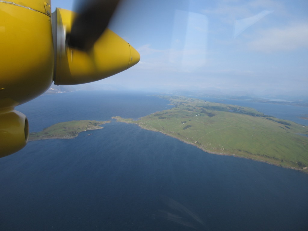
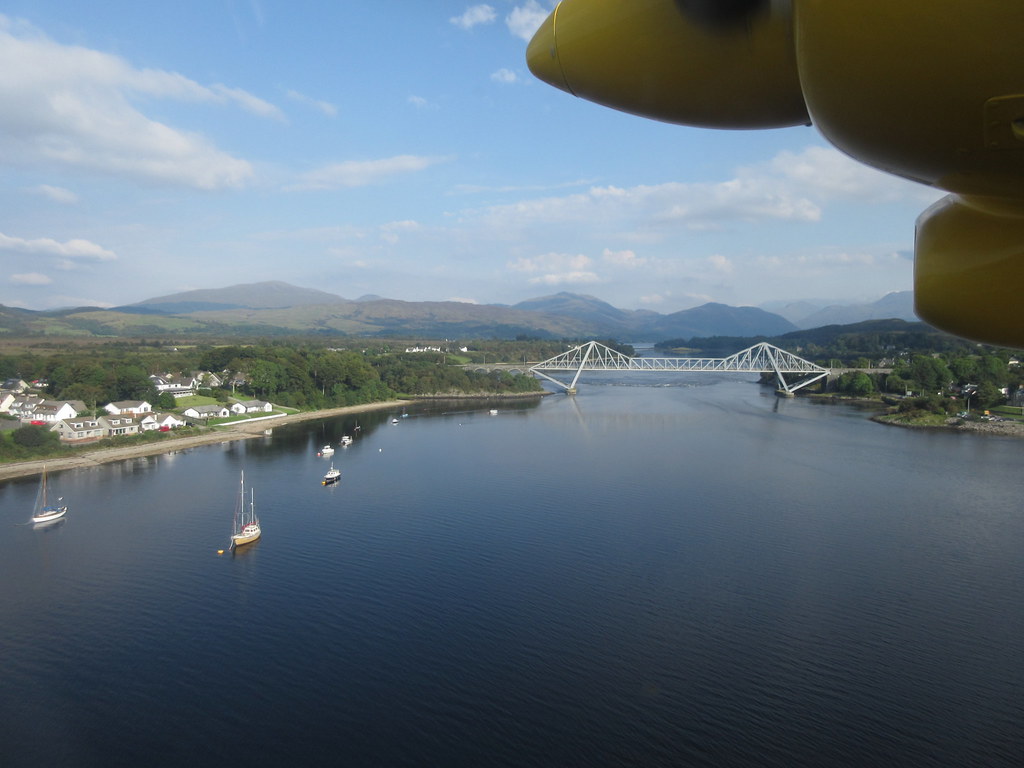
What had taken 5 hours in the ferry took less than 40 minutes in the plane, and was unsurprisingly spectacular. We can't have been cruising much higher than about 4000 feet, and were able to look down on Coll, Mull and the Morven peninsula. Great fun and a nice way to complement the ferry scenery on the way out.
Taking off over Hogh Bay:
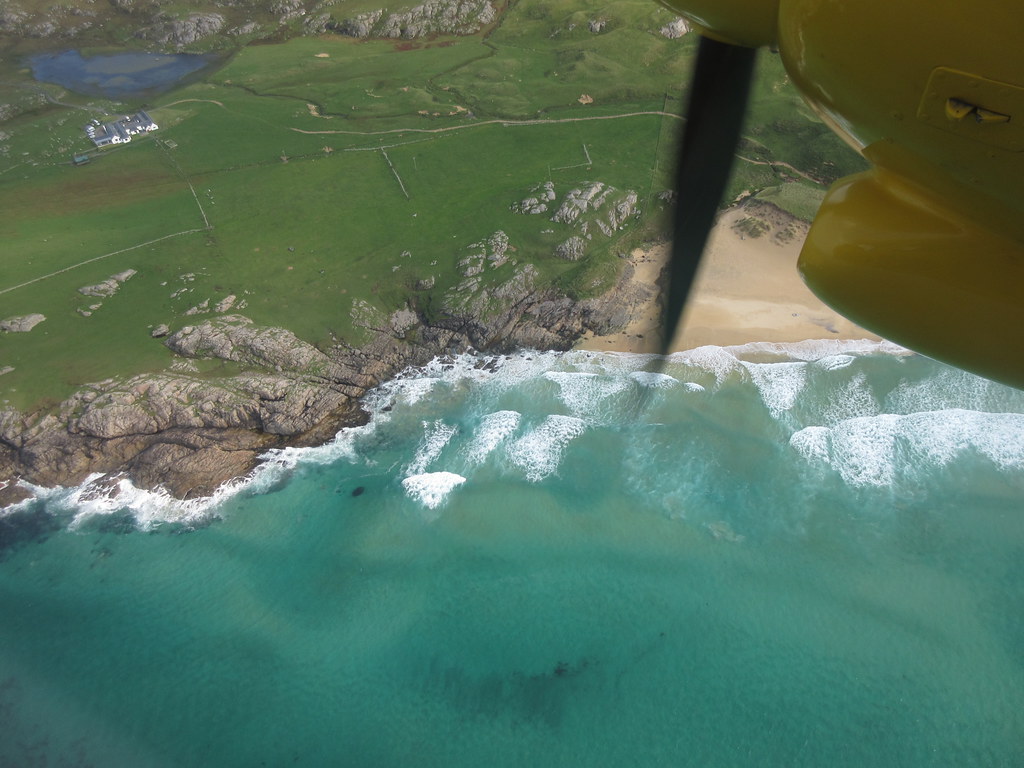
Arinagour and the north end of Coll:
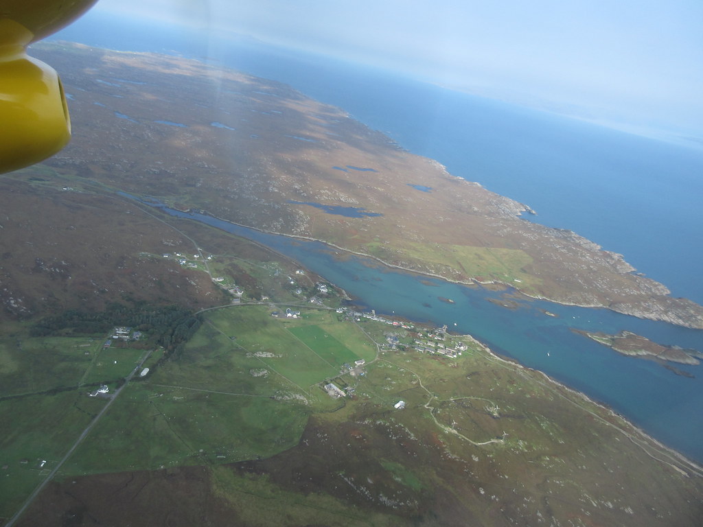
A bit of Mull with Ulva and Geometra in the background:
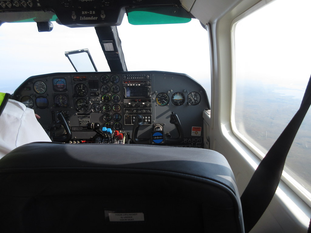
Who's actually flying this thing?
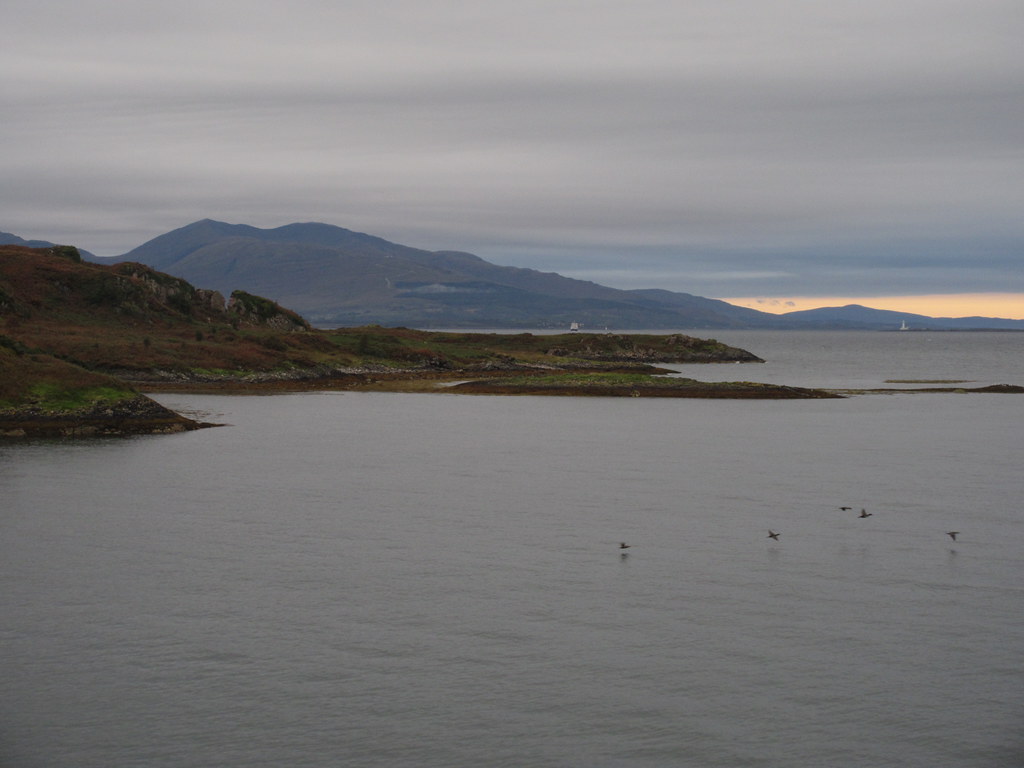
Lismore and the Firth of Lorn:
Connel Bridge:
Not the most obvious island to go walking on, but with some lovely beaches which require further investigation - I'll have to make a less rushed return visit one day. I took a bus back from the airport into Oban itself to get the car.
----------------------------------------------------------------
The bit with the walk reportMeanwhile, across the course of the afternoon, the weather had picked up from tentatively sunny to full-on heatwave (Scottish style - it reached over 20 degrees). Whatever I did now was unlikely to top my journey to Coll, but I could still have a nice walk somewhere on the way home. My preference would have been for An Grianan at the head of Loch Creran, but I was quite tired now, and wanted something shorter. Step forward Beinn Sgulich, one of a trio of Marilyns to the north of Appin.
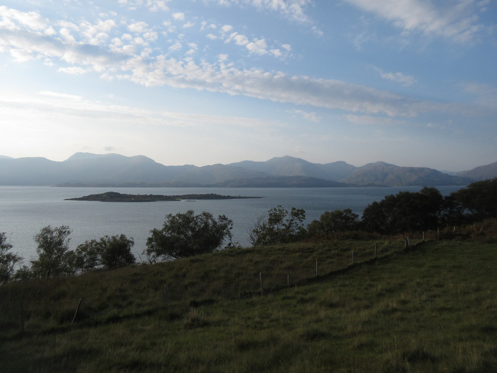
I parked up on a track junction at Dalnatrat. This would easily accommodate 3 or 4 cars without blocking access. I took the track up to a corner where a missing bridge would have continued back to the A828 - the track now carries on into Salachan Glen. On the right, an area of grazing led up through scattered woodland towards the hill. With a little height, views over Loch Linnhe began to open up.
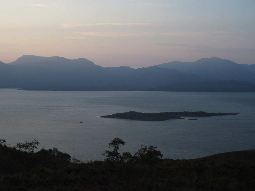
Eilean Balnagowan, with Ardgour behind:
I cut through a gate and a band of trees on a steeper slope, before emerging on the next terrace of hillside. Here, a faint animal path through the bracken led to a slight knoll with views back up to Lochaber.
Ardsheal Hill and the west end of Beinn a’ Bheithir:
Beinn a’ Bheithir:
Ardsheal Hill:
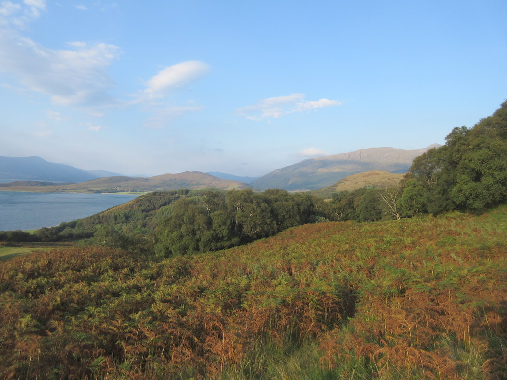
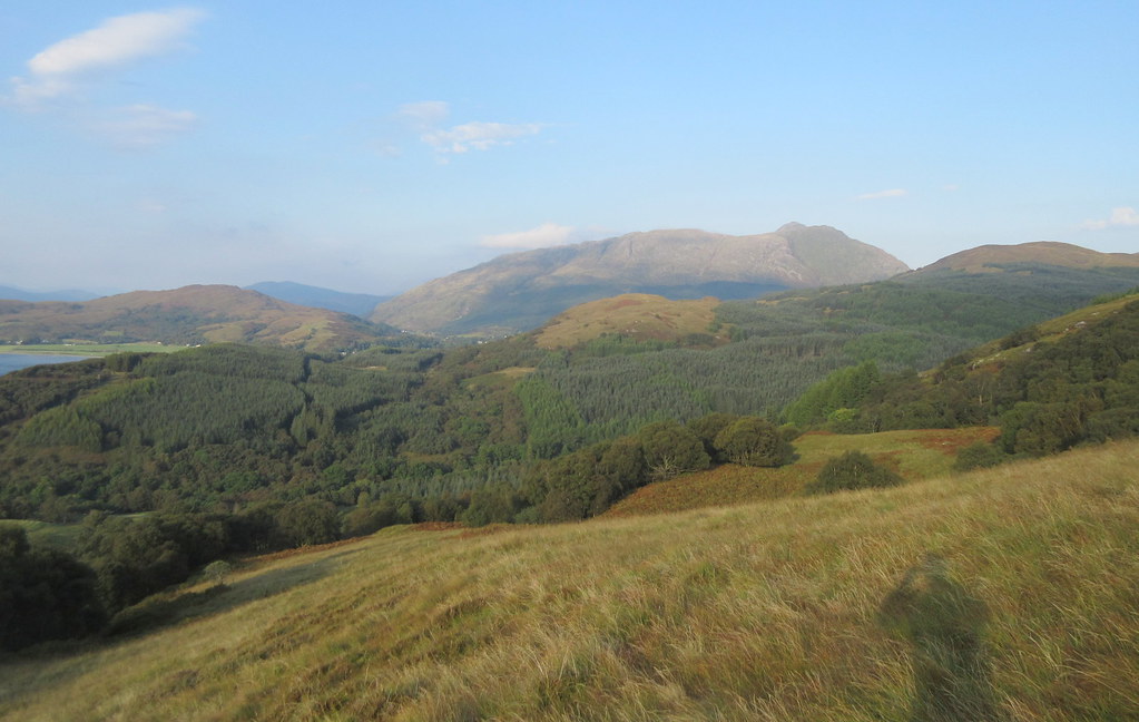
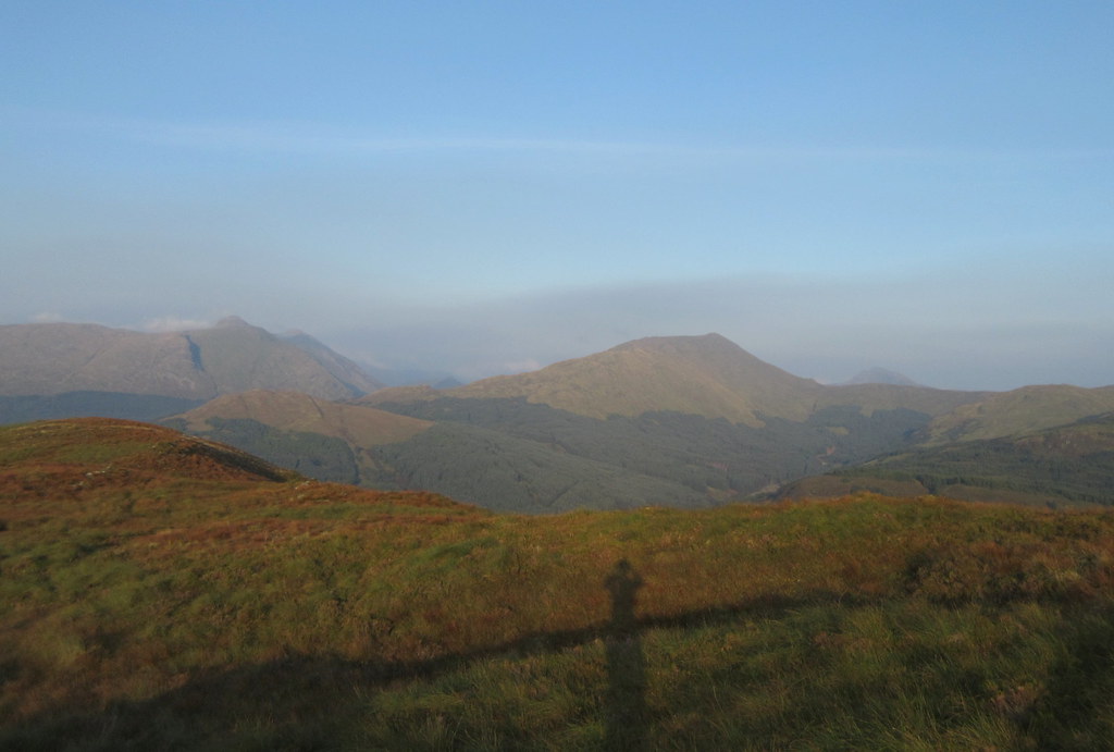
Another steepening and some more trees took me into heathery territory, and eventually onto the spine of the hill, not too far from the trig point. It had been a bit sweaty getting here, but despite the haze obscuring some of the more southern views, it was well worth the effort.
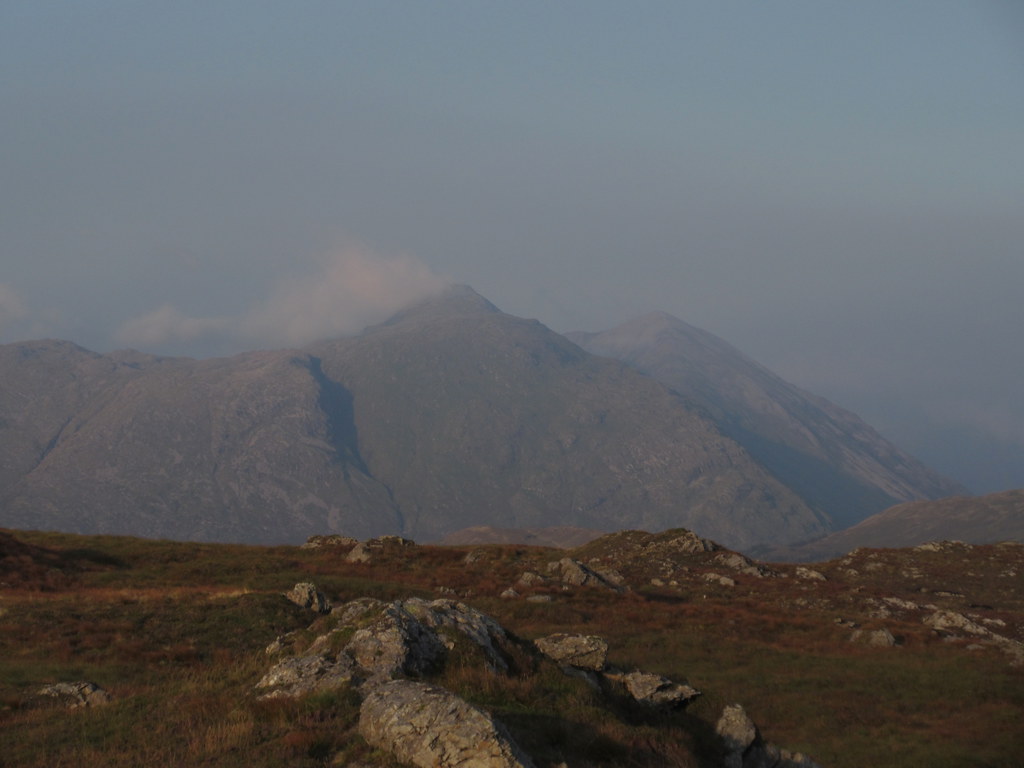
Creach Bheinn and Garbh Bheinn:
Sgorr Dhonuill and Fraochaidh:
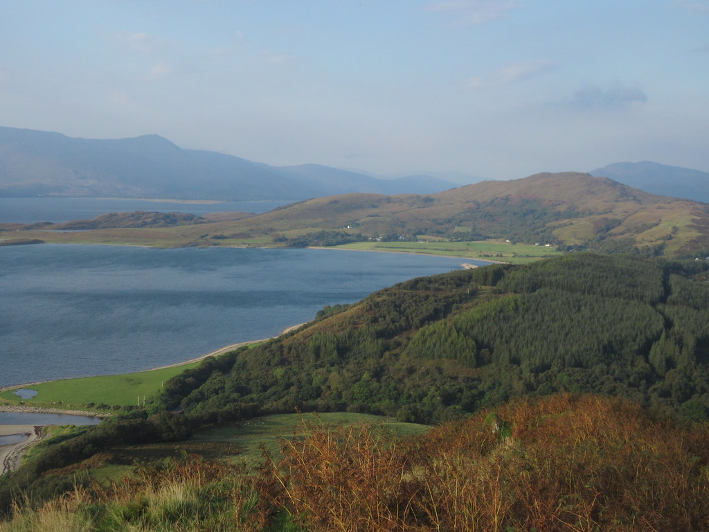
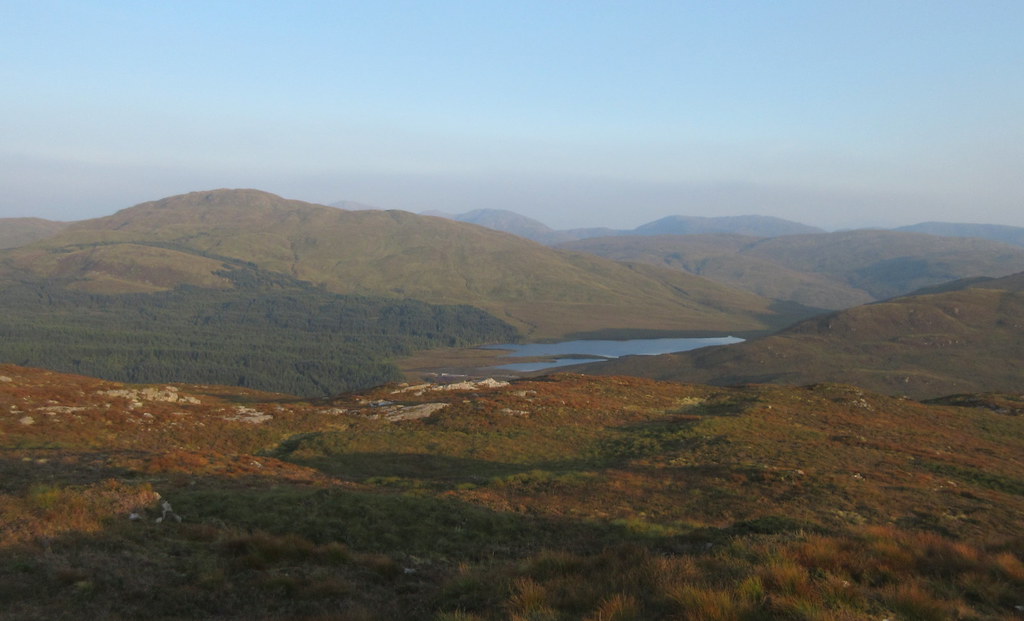
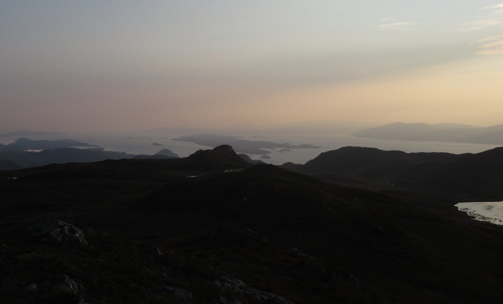
Down Loch Linnhe:
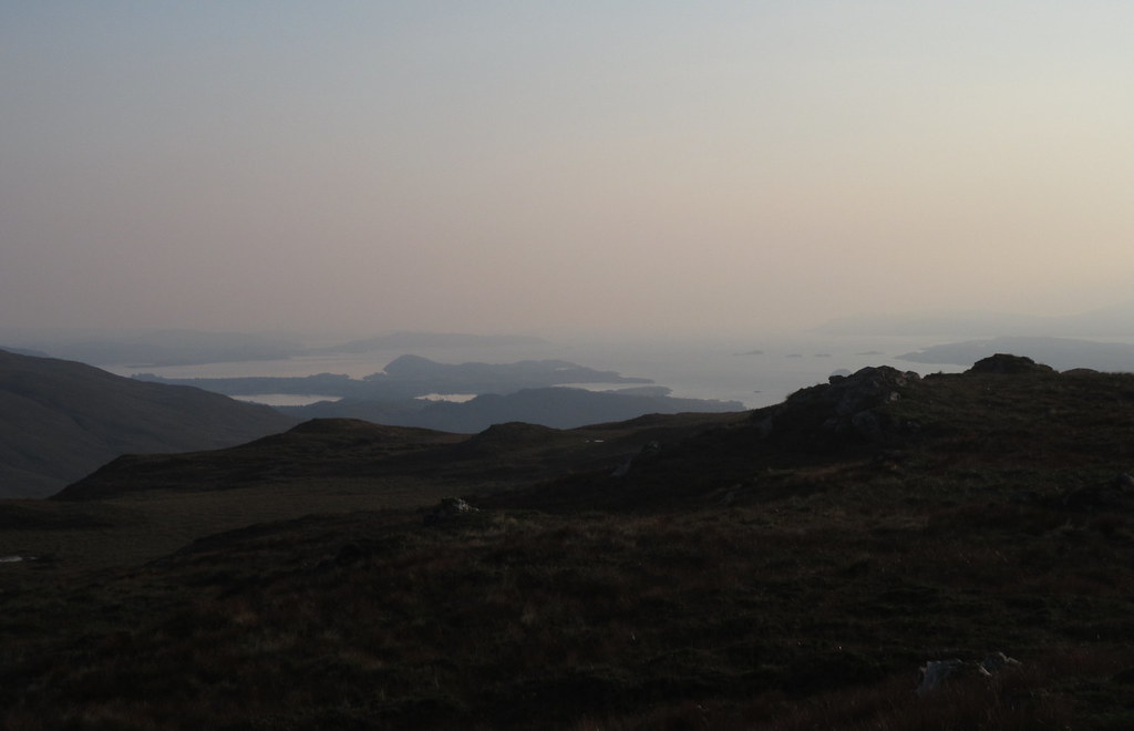
Lochan Blar nan Lochan and Meall Ban:
Sgorr Dhonuill and Sgorr Dhearg:
Morven and Kingairloch across Loch Linnhe:
Lismore and Loch Linnhe:
After a short break, I took a slightly different line down the top section, rejoining my outward route at the second steepening.
Morven:
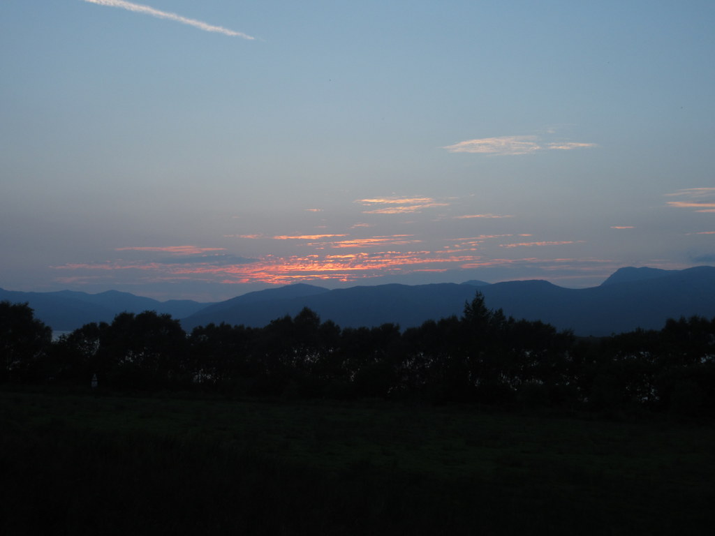
Eilean Balnagowan:
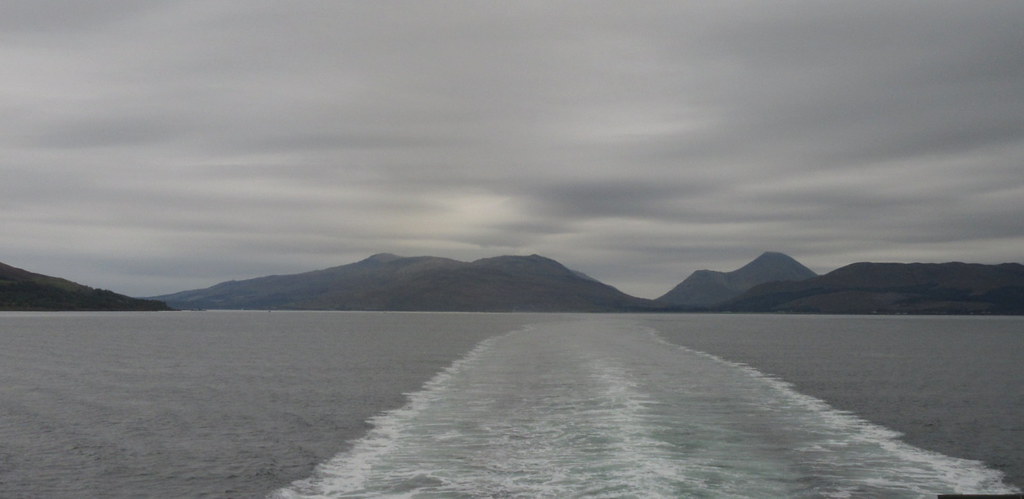
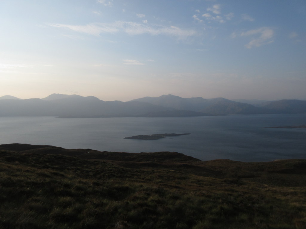
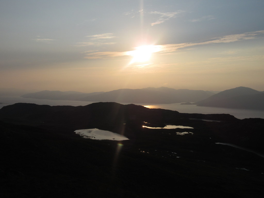
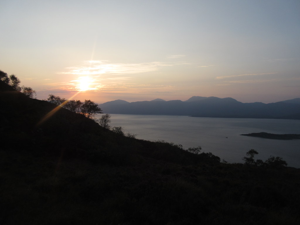
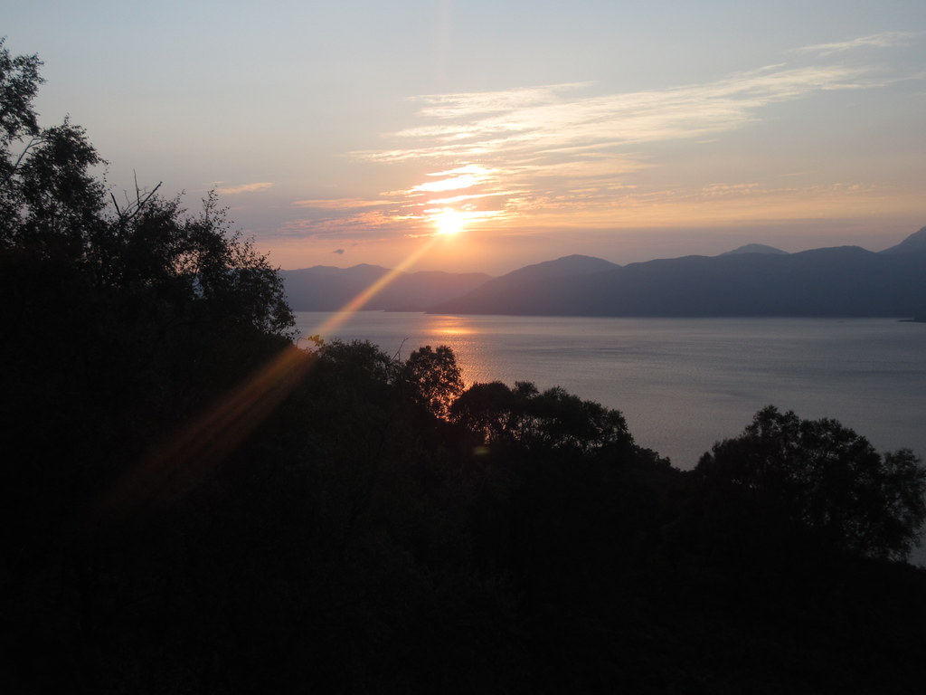
Last light over Loch Linnhe:
Ardsheal Hill nearby probably gives slightly better views for a bit less effort, but this was another worthwhile summit - almost as good as the day that preceded it. It was dark by the time I reached the Ballachulish bridge, and the hoped-for shortcut up the east side of Loch Ness ended up being a 30mph creep through some of the thickest fog I have driven in. I thought August's visit to Benbecula would be my last island trip this year, but with this and a similar Colonsay visit penciled in for next week (in the flying biscuit tin again), obviously not! (Someone also needs to go to Tiree and Islay before the year is out, but that might not be me).
