free to be able to rate and comment on reports (as well as access 1:25000 mapping).
(ever is thus, apparently, when visiting Corbetts!)
With many of my remaining new Munros on hold for the time being, for one reason or another—mostly because they’re too far away for a day trip, or too long for this time of year, or both, I was looking for something a bit closer to home. I came across a couple of walk reports for this group of Corbetts near Tyndrum, and decided to give ‘em a go. The Rodmeister had done the round in just over 5-1/2 hrs; I figured I’d be doing well if I managed it in 7!
The forecasts—for both Sat and Sun—were excellent. After spending a rainy Friday not even leaving the house, I was in desperate need of getting out. When I set off, it was foggy and still very dark, and visibility was rather poor. I was out of the mist, though, by the time I reached the Erskine Bridge, and the drive ‘til just before Tyndrum remained clear. Tyndrum itself, though, was shrouded in heavy mist, and my heart sank, although I did tell myself it was likely to burn off. After all, it was still early. More quickly than I could imagine, I was again out of the mist, just north of Tyndrum, as I found the start point (NN 331 318), just across the road from the bridge over the railway. Yeah, ok, I admit, I drove past it the first time, and had to turn around; that’s ok, it left me parked up facing the correct direction for the journey home.
I started the slog up Beinn Odhar just before 7:30am. There were bits of path here and there, but mostly it was just “keep going up.” It was a chilly, but lovely autumnal morning. The view in the morning light across to Ben Lui and friends kept getting better and better as I gained height; Tyndrum remained hidden ‘neath the thick mist I’d driven through.
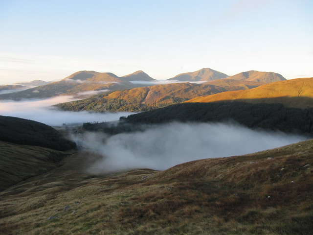
Ben Lui and pals lovely in the morning light
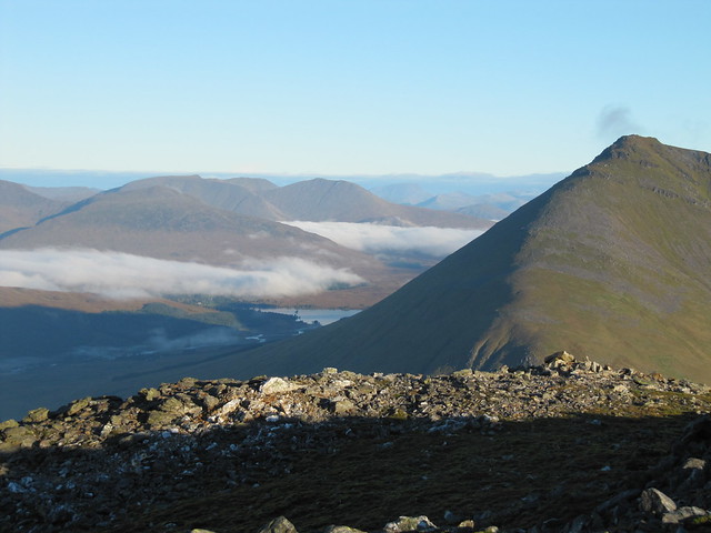
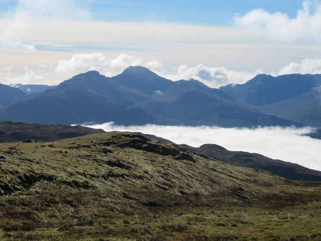
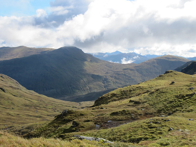
zoomed over the Black Mount, Loch Tulla just peeking 'round the corner, Beinn Dorain dominating
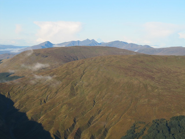
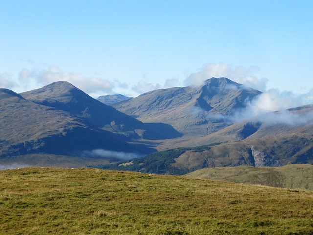
Cruachan and Stob Damh in the distance
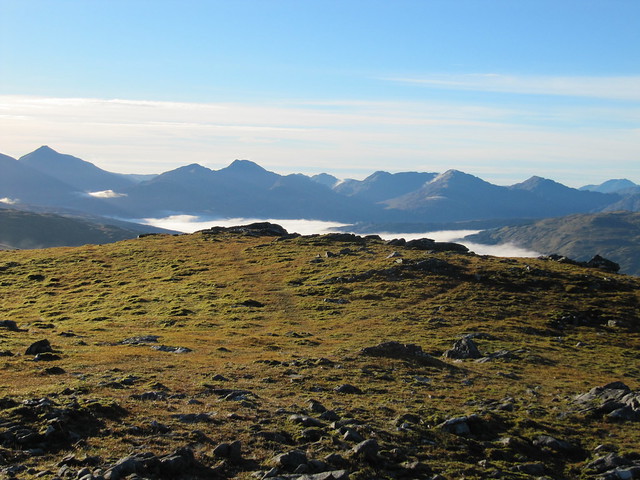
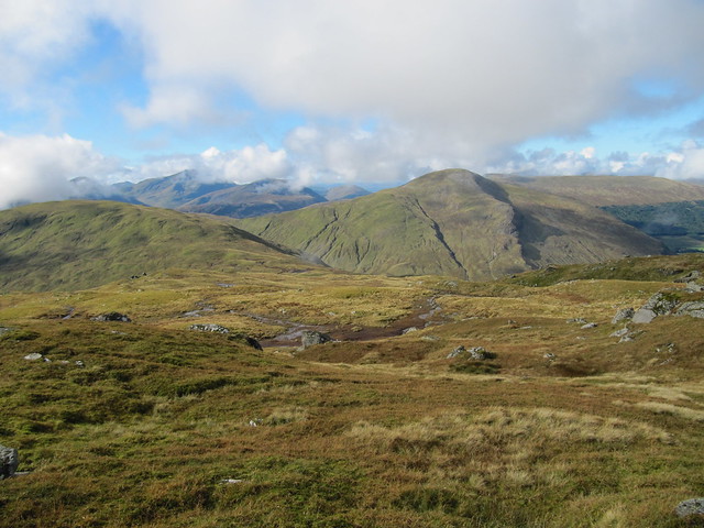
up toward Glencoe, I think
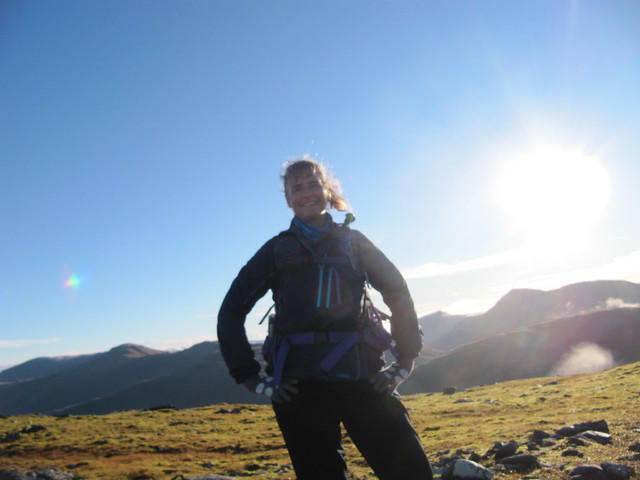
first summit -- gird yer loins for what's a'comin!
I reached the summit at 8:45am, and contemplated whether to carry on—I knew what was coming: more than 450m of descent, followed by 400m straight back up (in less than a km of distance!). I never seriously considered doing only the one, but I’d told myself it was an option, as I really wasn’t looking forward to the next part. Kicking myself into gear, I made my way carefully down to the Allt Cumhang. I’d worried that it might be a difficult crossing, and had to laugh when I was over it with a single step. Now for the up, up, up. It was very steep, as promised, but I took my time, and many breathers, and kept heading for the fenceposts I could see on the skyline. Once I reached them, it was still a fair old distance to the top, but at least the gradient had now eased somewhat. It was on this ascent that I saw another walker in the distance; the only other person I saw all day, until I reached the WHW on the way back to the car. We waved and shouted hello; he carried on with his careful descent of the same steep terrain I was heading up.
not sure which direction this is (Crianlarich hills, perhaps?), but it's a nice photie
Ben Lui agin
I reached the top of Beinn Chaorach, with its cylindrical trig point, at 10:30; still not doing too badly, time-wise.
From here, the way to the final objective, Cam Chreag, was clear. Down a bit, across several peat haggy sections, and then a gentle ascent up to its top. Although it wasn’t nearly as steep as the terrain I’d already covered, my legs felt heavy, and whimpered in protest as I climbed the final few metres to the small summit cairn. There were still nice views, but it had gone a bit cloudy, and wasn’t really warm enough to sit around for very long.
the hills already climbed; Beinn Odhar on the right, Beinn Chaorach on the left
clouding over a bit
I had a quick bite at the summit (11:30), and pondered on my descent route. No matter whether I continued following Rod’s route, or traced my steps back to the bealach between BC and CC and made my way down from there, it was gonna be steep, and not very pleasant. I decided that I might as well continue following in Rod’s footsteps—at least I knew he’d lived to tell the tale! I made my way carefully and verrrrrry slowly down terrain that was as steep as what I’d come up. The grass was wet and slippery; I’m quite surprised that I didn’t end up on my bum at all (but stay tuned).
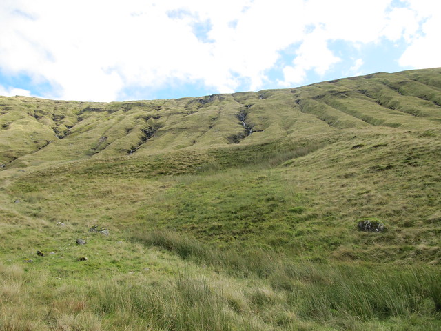
what I've come down
With a sigh of relief, I reached the bottom. All that was left from here was a soggy slog to the farm track that should be just around the corner. Or maybe the next corner. Or maybe a few corners. It was much further than it had looked from above. Only a few metres from reaching the track, on fairly even terrain, after successfully negotiating hundreds of metres of steep ascent and descent without incident, I tripped over something—probably my own feet—and sprawled forward. Poles flew, drinks flew, and although I tried to get up as quickly as possible, I managed to get fairly soaked. Thankfully, I wasn’t hurt, and the boggy bit I’d fallen into wasn’t too mucky.
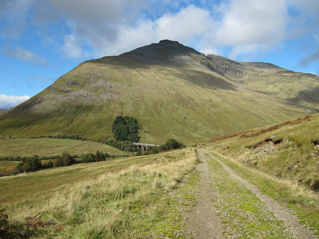
Beinn Dorain is massive!
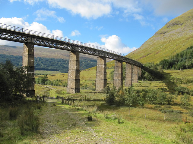
under the viaduct...home stretch now
A long walk along the farm track, under the viaduct, along the river, then a ford of a decent-sized feeder burn, before reaching the WHW. Somehow, I missed the tunnel under the railway (seriously? Who manages to go wrong on the WHW? Which she’s done twice before??

Maybe it's 'cause I was swimming upstream. Yeah, that's it). Rather than backtracking for nearly a km, and convinced that the car was “just around the next corner,” I decided to carry on along the A82, which wasn’t a very nice way to end an otherwise very nice day. Although there was a wide enough verge for most of the way, most of the cars flew by at speed, and I heaved a(nother) great sigh of relief when the car came finally into sight (2:30pm).
A not particularly arduous drive home completed the outing. Yes, it was slow, but it’s always gonna be, isn’t it? Perhaps I’ve finally figured out how to be Zen about the A82 (time will tell). My next challenge is learning to be just as Zen about not being able to find a place to park on my street when I’ve got all manner of things to schlep into the house…
