free to be able to rate and comment on reports (as well as access 1:25000 mapping).
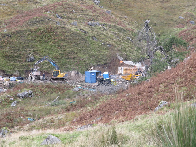
The morning was dull and murky, but the day was forecast to stay dry; works for me. I left the car park a few minutes before 7:30am; it was just getting light. The start of this walk is quite faffy—bridges to cross over and under, cycle tracks, gates, and disused railways (but, nb, the WH words are quite easy to follow). Once you’ve finally left the disused railway and crossed the bridge over it to reach what apparently used to be the simple farm track into Glen Kendrum, you’re confronted with a “beware construction traffic” sign, and a new, undoubtedly wider, albeit much smoother, motorway to the hydro works several kms up the way.
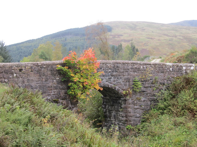
a bit of nice colour over the final railway bridge before entering the construction zone
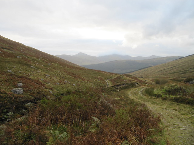
is there ANY glen in Scotland that doesn’t currently include a view similar to this?


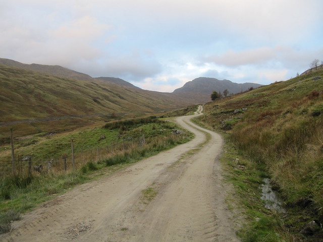
targets coming into view, up the motorway
toward Ben Vorlich and Stuc a'Chroin with its head in the clouds (contrast the original track with the motorway...)
Thanks to the noise of the new dam being built, you’re a good distance into this walk—nearly to the high point of the track, from where you begin your assault on Creag Mac Ranaich—before you feel any inkling of remoteness. The initial climb up toward CMR is steep, but short, given that you’re nearly at 600m where you leave the track. The top is, as promised by the description, knobbly and confusing, and it actually took a fair bit of wandering around before I even found the 808m top. From there, reaching the “real” summit (10:00am) requires a bit of descent, and a bit of bog hopping.
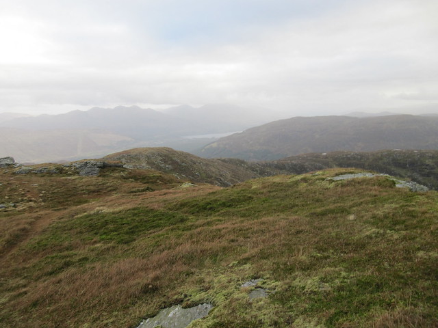
Loch Tay + Killin, temporarily brightening up a bit
some nice autumnal colours going on here
There were good views over Killin and Loch Tay, and various hills to the north, but the wind had kicked up, and it was COLD! I put having a bite to eat on hold, took a few quick pics, and hurried back toward 808m. Just before arriving there, I found a nicely sheltered spot and a flat rock to sit on, so took the opportunity to have a snack, and to dig out extra gloves and a woolly hat. There are a lot of things I don’t look forward to as winter approaches, but I do like wearing my bobble hats, and maybe even adding to the collection!
back to the summit, from my snack spot
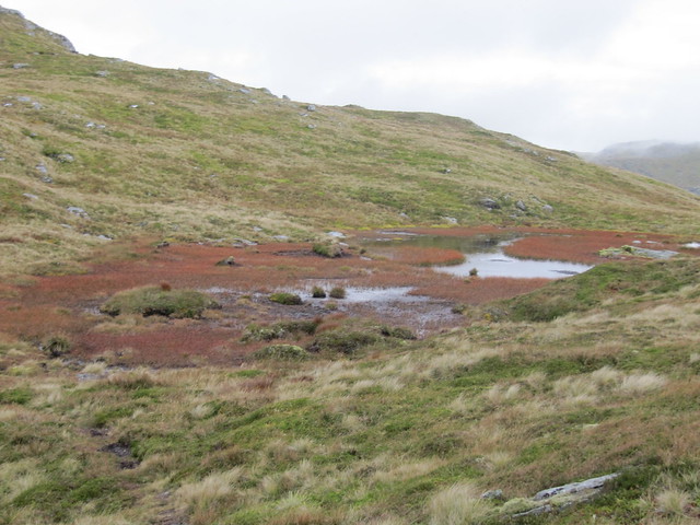
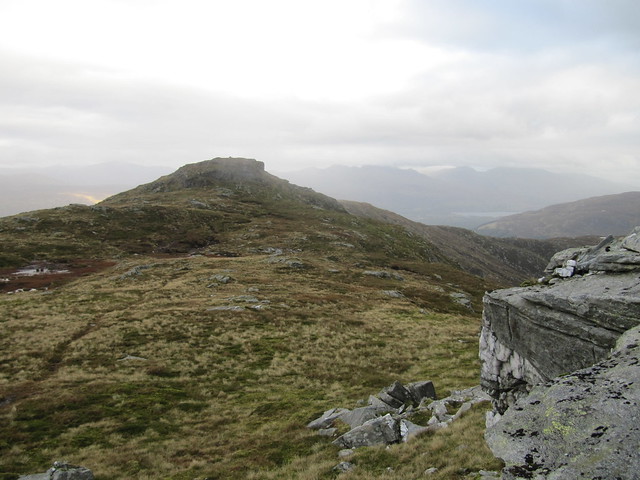
I carried on back down to the track, which was just as steep in descent as in ascent (duh), then across the intimidating-looking-from-above peat hags toward the bealach. There’s a bit of a path through the hags, and they weren’t nearly as torturous as I’d anticipated—I’d worn my gaiters especially for this section, but they proved superfluous to requirement. I bypassed the top of Cam Chreag, and followed the fence posts to the top of Meall an t-Seallaidh (11:30am).
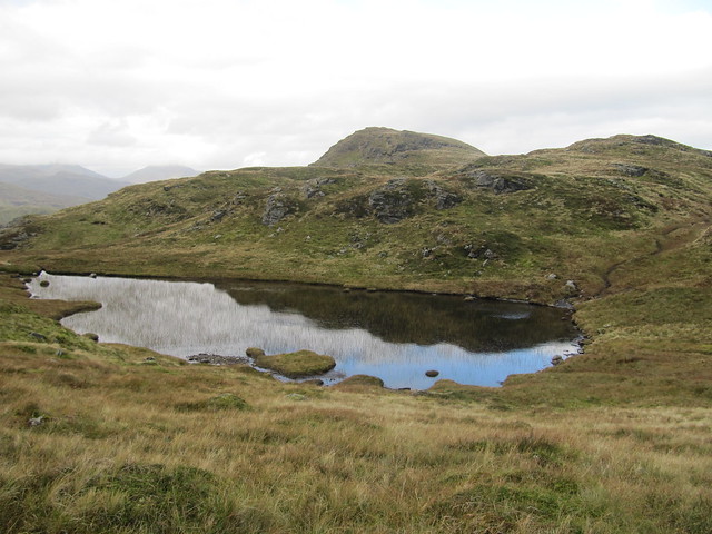
reflection in the lochan at the bealach
one last view before heading into the cloud
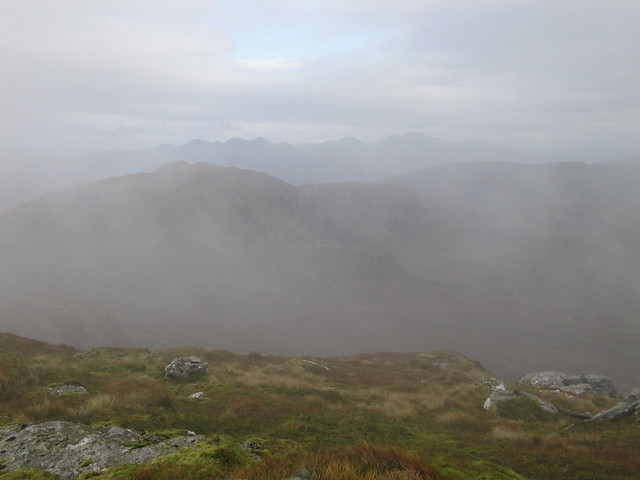
The summit was stubbornly encased in the cloud that had been dancing around its top since I could first see the hill from doon the glen. There were no views, end of.
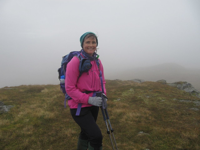
nothin' to see here...'cept me bobble hat!
I was soon out of the cloud, however, as I made my way back down over rough, somewhat boggy ground. There was a bit of up-and-downing over heather-covered hillocks, but the track was obvious; it was just a matter of making my way back to it. I could once again now hear the construction noise as it floated up the glen, so rather than have another stop to enjoy the “peace and quiet,” I carried on back to the car, arriving there just after 1:30pm.
These are nice hills, and although I did enjoy parts of the day, I can’t help feeling as though the “proper” walking was only 5-6km, once past the hydro works/noise—a lot of not-particularly pleasant or interesting walking was necessary to get to the good stuff. I don’t feel too inspired in writing about it. Perhaps my mood was as dull and murky as the weather.
