free to be able to rate and comment on reports (as well as access 1:25000 mapping).
Another week in the Northwest - unfortunately without the weather of last week, but what do you expect at a Meet? We travelled up to Sheil Bridge on Thursday night - a miserable rainy drive in the dark. Fortunately the rain abated as we reached the campsite - we nipped in to pitch the tent in the dry before driing to the Kintail Lodge for some keenly awaited grub. As fine as usual it was too. Back to the tent before 10 and a quiet night - we were the only ones at the site.
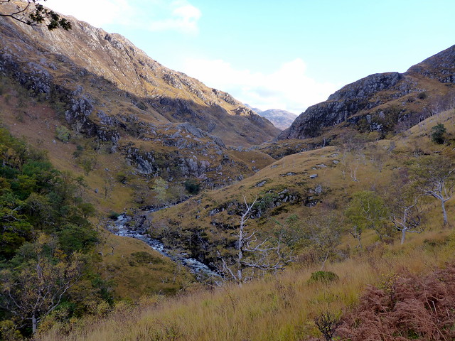
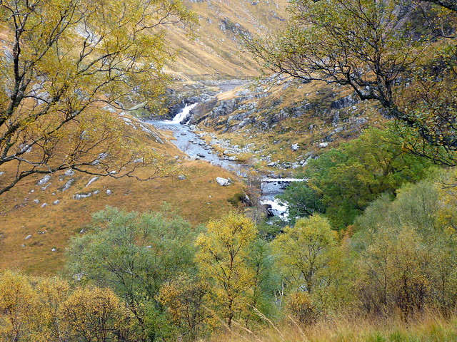
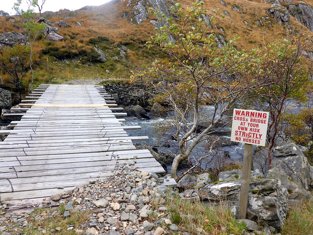
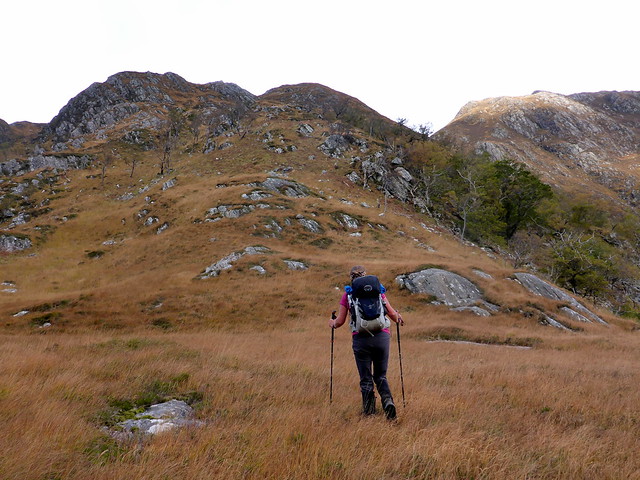
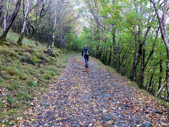
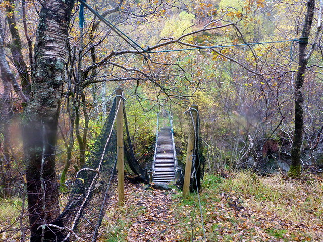
Friday began with sunshine and blue skies - we drove along to Corran for the day's objective, Beinn Clachach. It was only last Sunday we climbed its southern partner, Druim Fhada, charming to be back in this lovely area again. The route begins from the community hall and goes through the tiny settlement of Corran, picking up a waymarked trail into Glen Arnisdale. Beinn Sgritheall, to our left, glowed ochre in the morning sunshine. As we walked into the glen, our mountain, Beinn Clachach, appeared an increasingly impressive and rugged hill. We continued on past the bridge, alongside the River Arnisdale. I knew we had to cross this in a few kilometres - I was not sure there was a bridge (none on my 1:50000 map) and the river was white crested and fast flowing after the night's rain. The track leads through beech and birchwoods, autumn colours radiant. We climbed a little then dipped to come in sight of Dubh Lochan, which we'd seen from above last week. And there, just before the outflow from the lochan was a footbridge. Much celebrating from the Sick Kid, I can tell you

Sgritheall
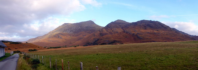 P1140203
 by
Al, on Flickr
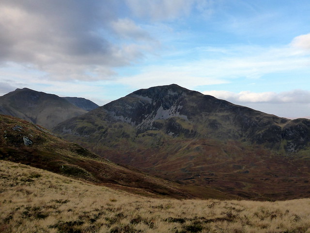
Clachach
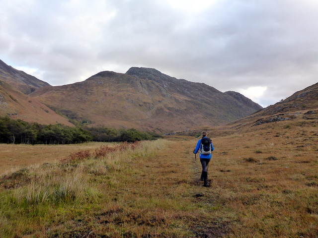 P1140205
 by
Al, on Flickr
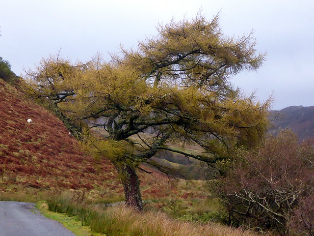
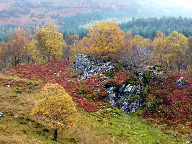
Autumn colour
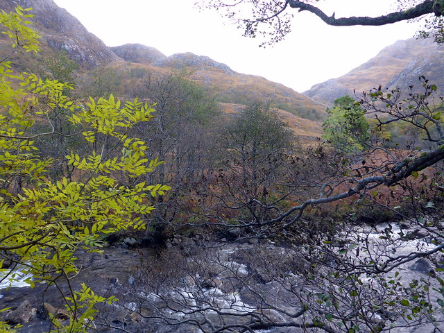 P1140209
 by
Al, on Flickr
 P1140211
 by
Al, on Flickr
 P1140212
 by
Al, on Flickr
A bridge!!
 P1140213
 by
Al, on Flickr
...but not suitable if you're a horse
 P1140214
 by
Al, on Flickr
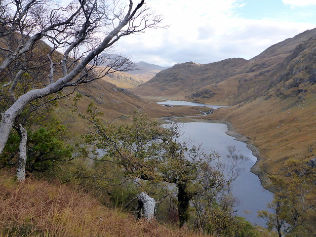
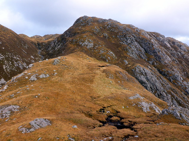
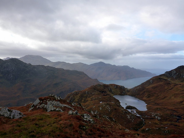
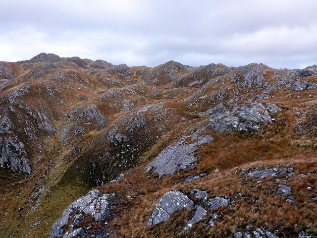
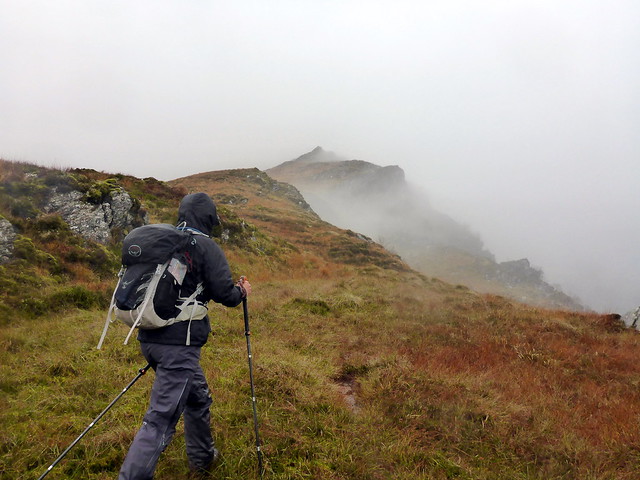
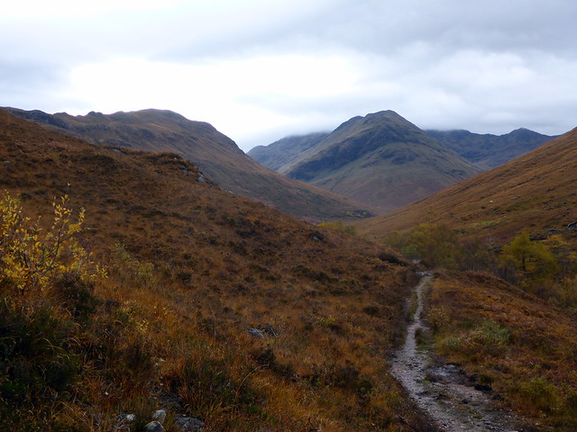
Crossing the bridge took us to a deer track leading up a spur to Bealach an Fheadain. We continued until we met a craggy face. It looked unlikely to be bypassable on the right, definately wasn't on the left, so we needed to scramble up it - quite a tough wee route on steep heather, with stunted trees barely hanging onto the rocks below. As I waited for Allison, an eagle soared below, heading back into the glen. Fine views out to the sea as we climbed. The remainder of the ascent up this shoulder was uneventful, the views opening to include Ladhar Bheinn. The summit section is knobbly and rocky with clefts to be negotiated before the summit cairn is achieved.
Outflow from Dubh Lochan
 P1140216
 by
Al, on Flickr
 P1140217
 by
Al, on Flickr
 P1140218
 by
Al, on Flickr
This bit's a little steep
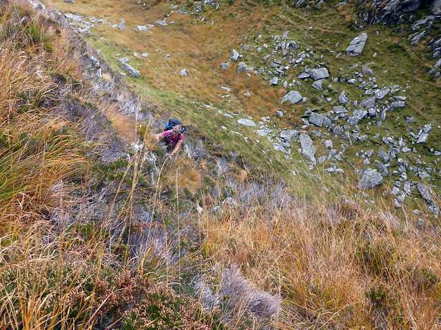 P1140219
 by
Al, on Flickr
Easy from then on
 P1140221
 by
Al, on Flickr
Ladhar Bheinn coming into view
 P1140223
 by
Al, on Flickr
Knobbly top
 P1140224
 by
Al, on Flickr
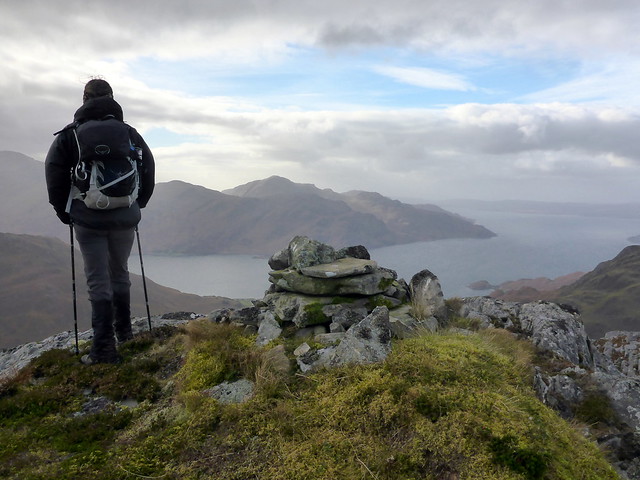
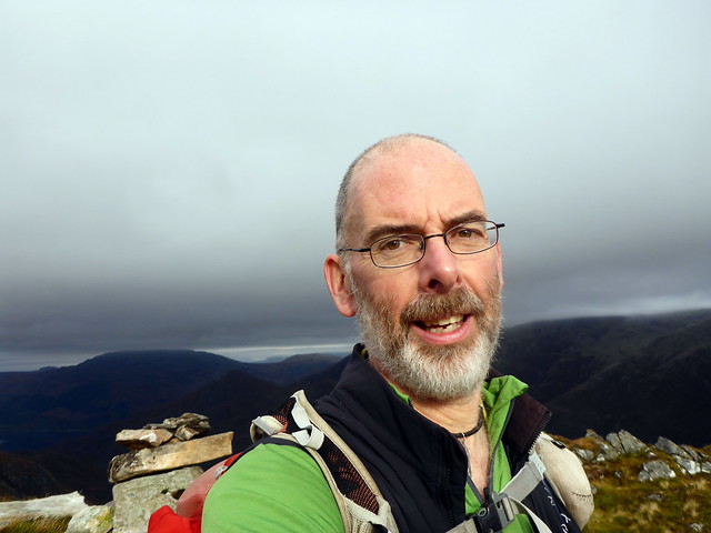
Summit
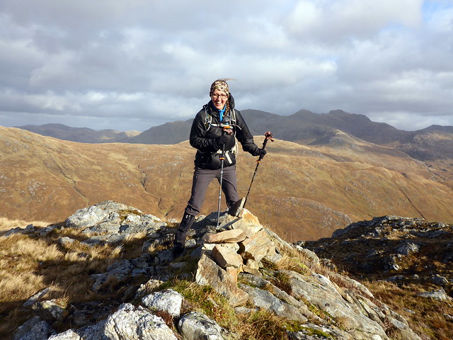 P1140227
 by
Al, on Flickr
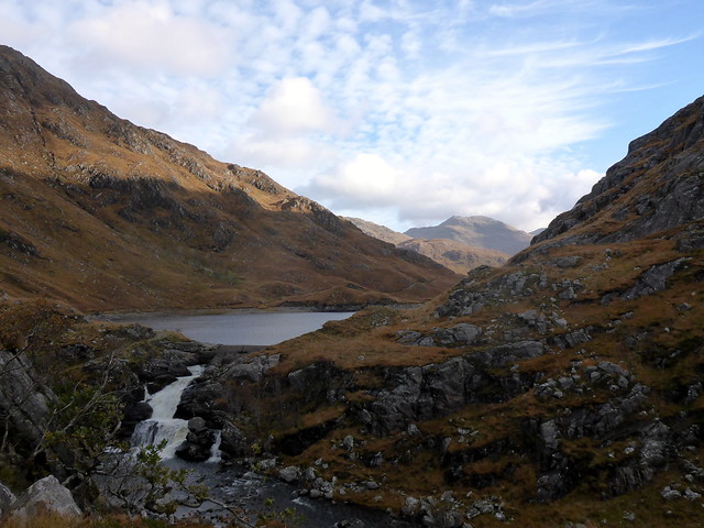
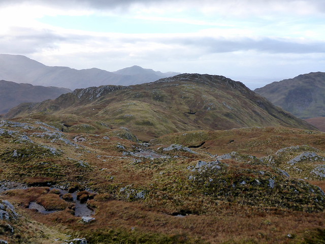
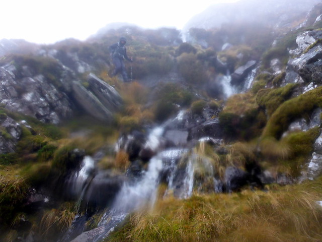
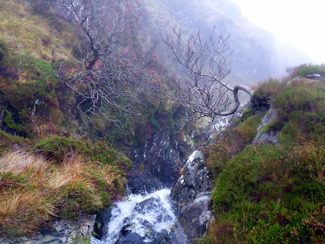
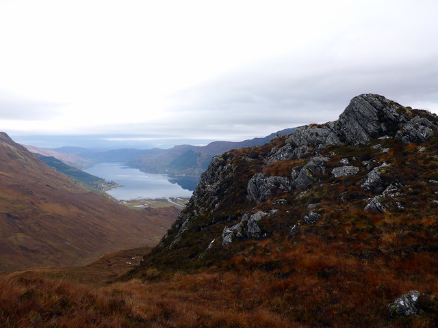
We headed west to visit the 618m top labelled as the summit on the OS map. Good views to the Corbetts to the north, Beinn nan Caorach & na h-Eaglaise. We headed north into Coire Chorsalain - easy descent on soft heather, keeping to the east of the crags, then picking up the stalkers path that runs down to the Allt Utha. The falls of Eas na Cuingid were splendid. At the bottom of the hill was a large field with numerous hielan coos and their sprogs. However, standign guard at the bridge was the bull, glowering at us. He wasn't for budging. Fortunately there was a track on our side of the rier too, so we managed to avoid him

To the west top
 P1140228
 by
Al, on Flickr
Neighbouring Corbetts
 P1140229
 by
Al, on Flickr
 P1140230
 by
Al, on Flickr
Descent route
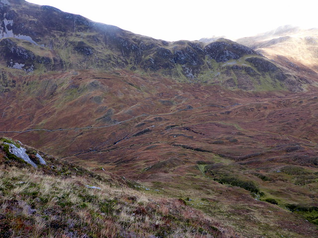 P1140231
 by
Al, on Flickr
Waterfall
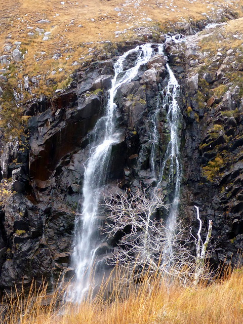 P1140233
 by
Al, on Flickr
 P1140234
 by
Al, on Flickr
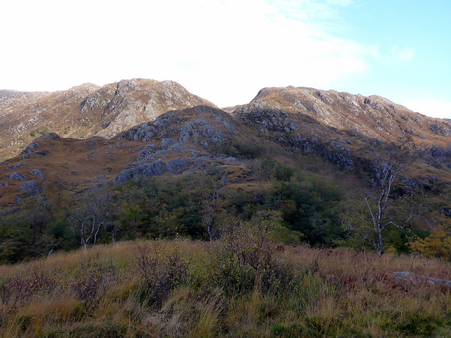
Druim Fhada
 P1140236
 by
Al, on Flickr
 P1140238
 by
Al, on Flickr
We drove back to the campsite where Pat, Maya and Tommy arrived later, then headed up to the hostel to say hello. Good to see folk again - we haven't been to a (Scottish) meet since Torridon last autumn. Left before the quiz however, in search of an early-ish night.
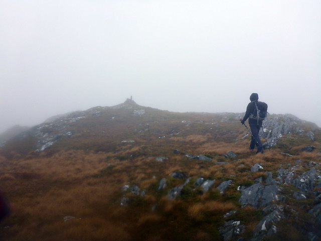
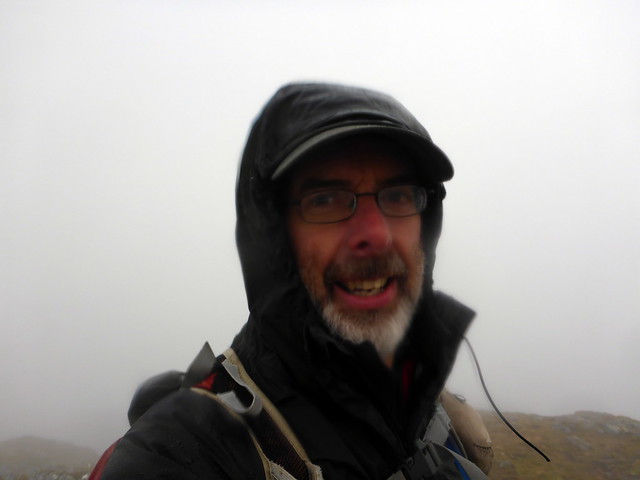
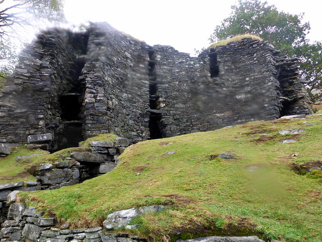
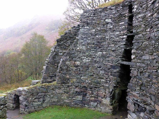
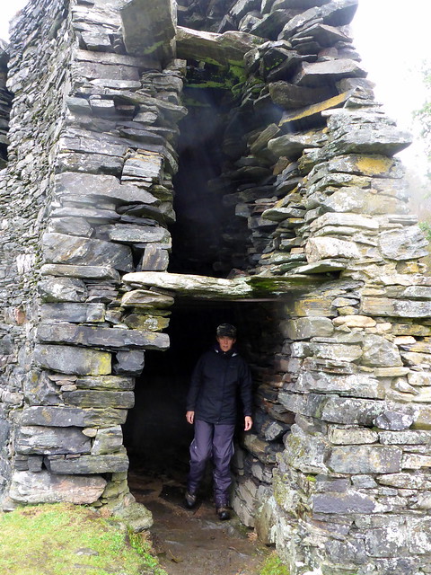
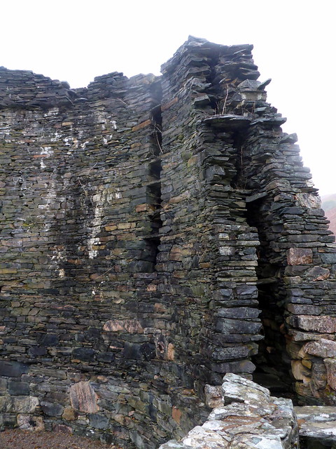
Saturday had pretty poor weather, unfortunately. We had planned to do Beinn a'Chapuill from Gleann Beag and set off just after 9 to drive the 15 miles there. Parked by a cattle grid at Gairshie and walked through the farm at Balvraid. Neither the cows nor the sheep were for getting out the way. At least there were no bulls this time. We continued along the track, past a ruined broch (Dun Grugaig) which we went and had a sniff at - an impressive location. Onwards through birchwoods, we could see the long curving ridge of our hill stretching up on the right, across the river. On through the woods til we spotted the suspension bridge, across and up the hillside. The ascent is easygoing, 600m in two and a half kilometres. A good looking ridge - pity we weren't seeing it on a better day.
 P1140240
 by
Al, on Flickr
Ruined broch
 P1140242
 by
Al, on Flickr
 P1140243
 by
Al, on Flickr
 P1140244
 by
Al, on Flickr
Our ridge
 P1140245
 by
Al, on Flickr
 P1140246
 by
Al, on Flickr
 P1140250
 by
Al, on Flickr
 P1140251
 by
Al, on Flickr
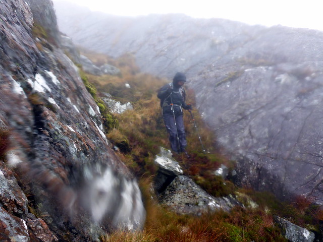
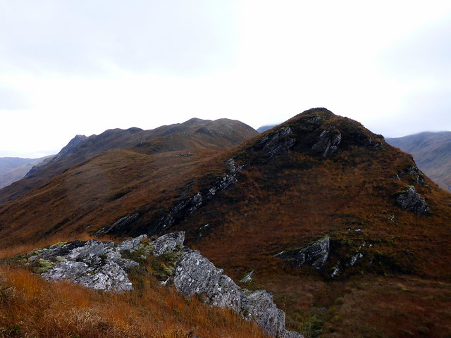
The top of the mountain is once again knobbles and crags - quite confusing in the mist as to which bump is the highest. We were aiming for the 759m knobble, with a cairn atop but also visited the 755m top (of no significance whatsoever - maybe a good viewpoint on a day with some visibility. Then on to the 742m top which - just like yesterday's hill is erroneously labelled as the summit. The surveyor for these two hills was obviously on something
From here it was a steep descent down to the west, following a gully. This was the route the SMC guidebook suggests, though I'm not entirely sure it is easier than coming off to the north if you pick your spot. Anyway we had a lovely time in descent, following a stream down, disturbing a herd of deer and managing to avoid injury.
Summit
 P1140252
 by
Al, on Flickr
 P1140254
 by
Al, on Flickr
Descent
 P1140255
 by
Al, on Flickr
 P1140256
 by
Al, on Flickr
 P1140257
 by
Al, on Flickr
Once down on flatter ground it is still quite a long slog back to the road. We headed north, parallel to the river and made for the edge of the tree line descended steeply to the Abhainn a Ghlinne Bhig and followed deer tracks to the north of the tree plantation before finally crossing a deer fence (for the third time today) and gaining a track that took us over the bridge and back to the car. We were surprised to find Scoob, Fi and Bellis parked nearby, having done the same hill, started after us and finished before us
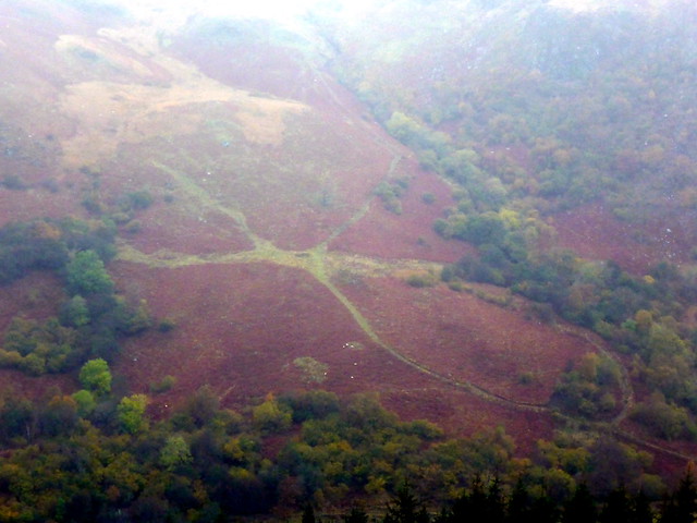
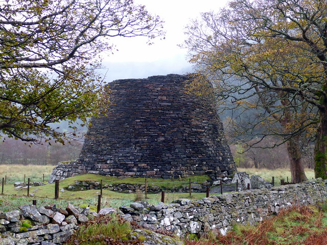
On the way home we called in at the two impressive brochs just along the glen.
You've heard of the Uffington White Horse - this is the Gleann Beag Green Octopus. (For those Lovecraft afficionados, yes it could be Chthulu

)
 P1140258
 by
Al, on Flickr
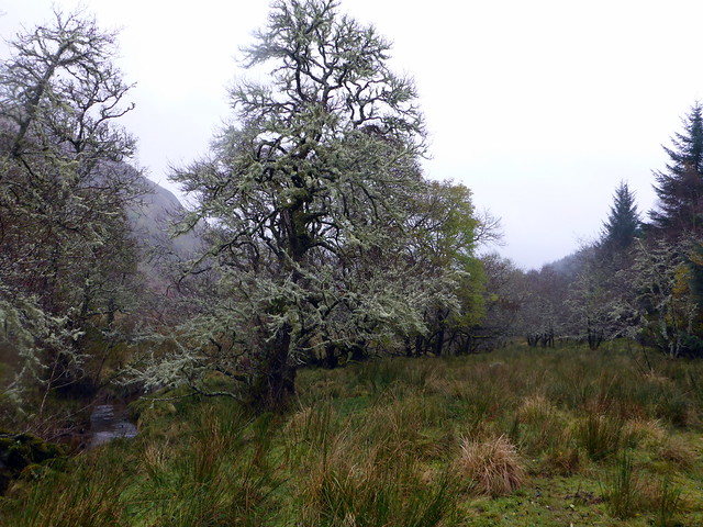
Lichen forest
 P1140259
 by
Al, on Flickr
 P1140260
 by
Al, on Flickr
Dun Troddan
 P1140261
 by
Al, on Flickr
 P1140263
 by
Al, on Flickr
 P1140264
 by
Al, on Flickr
Dun Telve
 P1140265
 by
Al, on Flickr
 P1140267
 by
Al, on Flickr
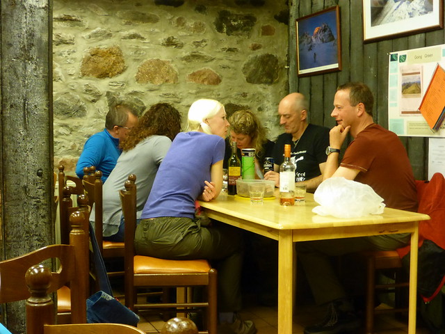
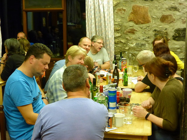
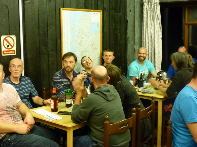
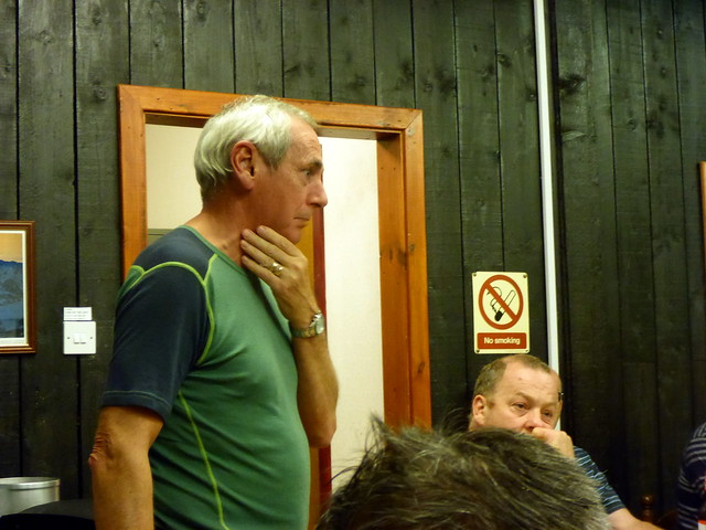
Back at the tent we rustled up a makeshift meal, showered and got ready to walk the couple of miles to the Youth Hostel. A fine night was in the making, good talk and of course the quiz, which our team managed to end up third in. After the group photos we decided to head for home before the shenanigans began (we didn't know if there would be any shenanigans, but with a WH meet there was bound to be mischief of some sort or other
) Even so, didn't get to bed til quarter to one, which is way too late for a hill-night (even if the clocks were going back overnight).
Quiz time
 P1140271
 by
Al, on Flickr
 P1140272
 by
Al, on Flickr
 P1140273
 by
Al, on Flickr
 P1140274
 by
Al, on Flickr
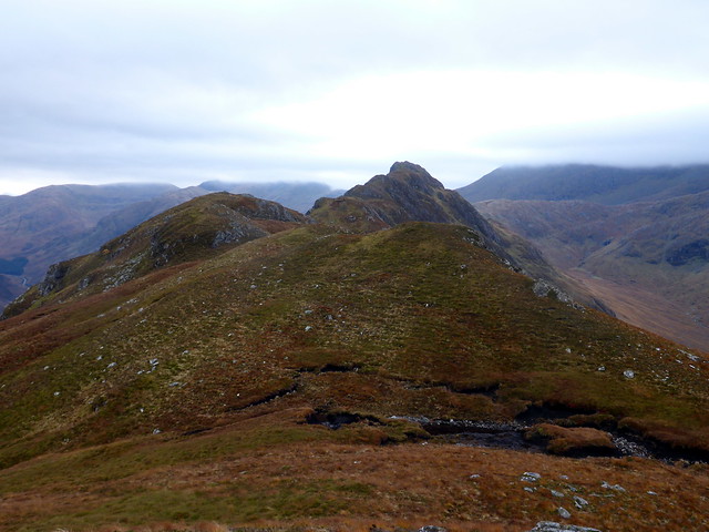
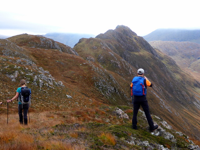
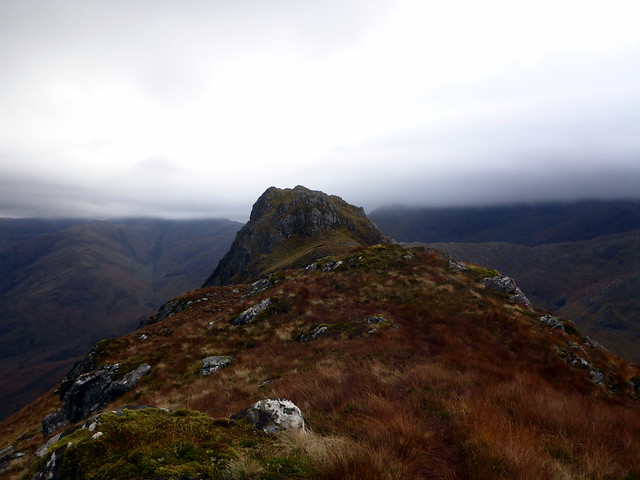
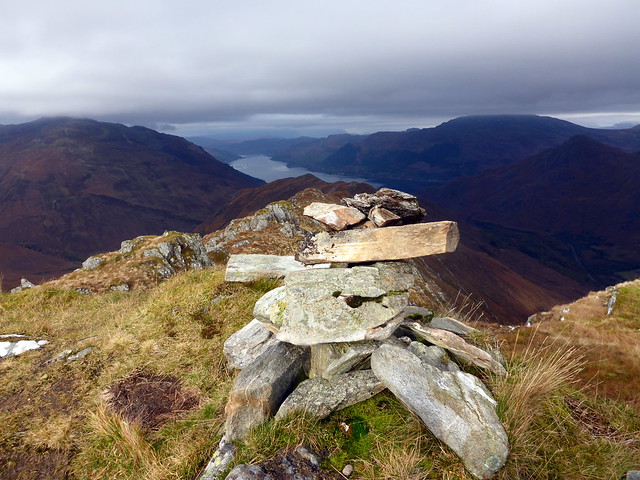
Sunday's treat was to be Biod nam Fhithich - a hill I've looked at numerous times. There was no way we were doing the quick route (ie the one that leads you ujup to the Saddle) - i wanted the whole ridge to enjoy. So did Graeme, Hugh and David who we met at the campsite and caught up with on the ridge. An enjoyable walk, in better weather than we had expected. Fine views along Loch Duich, across the glen to the Sisters, with their heads in cloud. Sat at the fine airy summit for lunch then dropped down into Coire Caol to follow the stalkers path back to Gleann Undalain. The three lads were intending to climb Sgurr Mhic Barraich having descended to 99m (only another 700m to go boys) but sanity prevailed
Back at the car in four and a half hours - a good short day out. Thanks to Darren for arranging the Meet!
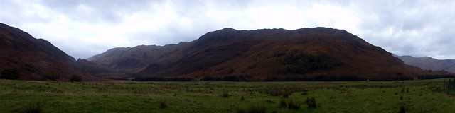
Glen Undalain
 P1140276
 by
Al, on Flickr
 P1140281
 by
Al, on Flickr
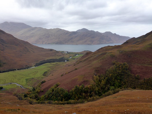
Loch Duich
 P1140282
 by
Al, on Flickr
 P1140283
 by
Al, on Flickr
 P1140284
 by
Al, on Flickr
Fine summit ridge
 P1140286
 by
Al, on Flickr
 P1140287
 by
Al, on Flickr
 P1140288
 by
Al, on Flickr
 P1140289
 by
Al, on Flickr
 P1140291
 by
Al, on Flickr
 P1140293
 by
Al, on Flickr
 P1140294
 by
Al, on Flickr
