free to be able to rate and comment on reports (as well as access 1:25000 mapping).
The Friday at the start of a WH meet weekend in Kintail seemed like a good time to call in a work related favour (basically a bit of unofficial time in lieu for covering a recent DofE commitment at short notice), which would free me up from work commitments for much of the day and allow me to get an early start up the road with time to fit a smallish hill in along the way.
The designated target was the Graham Creag Ruadh near Spey Dam, accessed via a minor road from Laggan. Just after crossing the bridge over the Spey, I parked up at the side of the road next to another car, whose occupant had only seconds before headed back along the tarmac all suited and booted. I nipped along the path to see if there were decent views of the dam, which there weren't, but saw the guy heading into the hills on the other side as if he were making for Geal Charn by a more unconventional route than the standard Garva Bridge one.
I jumped back into the car and continued the short distance along the road to Sherrabeg (stopping for a couple of shots on the way) where I got suited and booted myself.
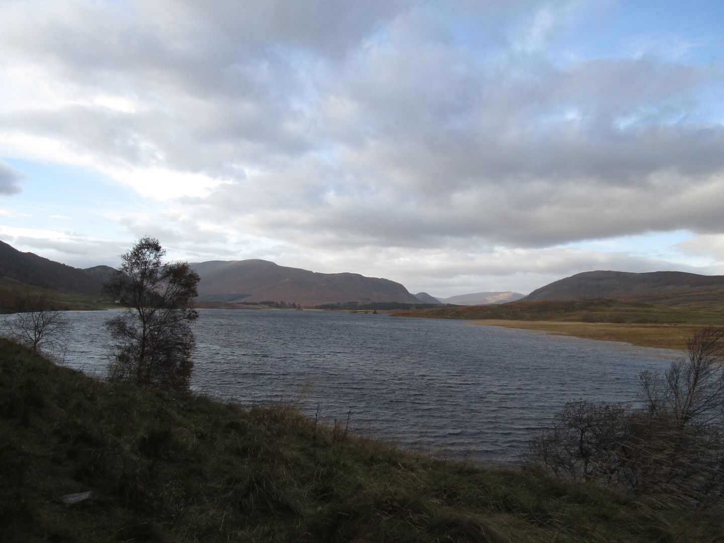 West towards Carn Dubh across the waters of the Spey Dam
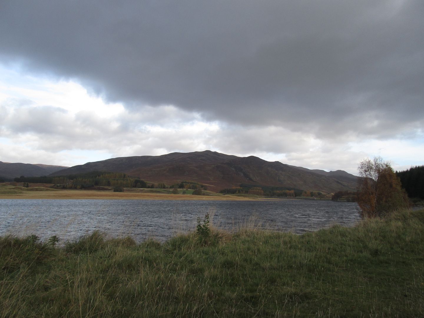 East over towards Blargie Craig
I decided to head straight up the hillside at right angles to the road, following the line of a fence, rather than head in a more direct line for the summit via an apparent firebreak in the forestry. Before doing that though I headed down towards the edge of the water and the old ruined building to take some snaps.
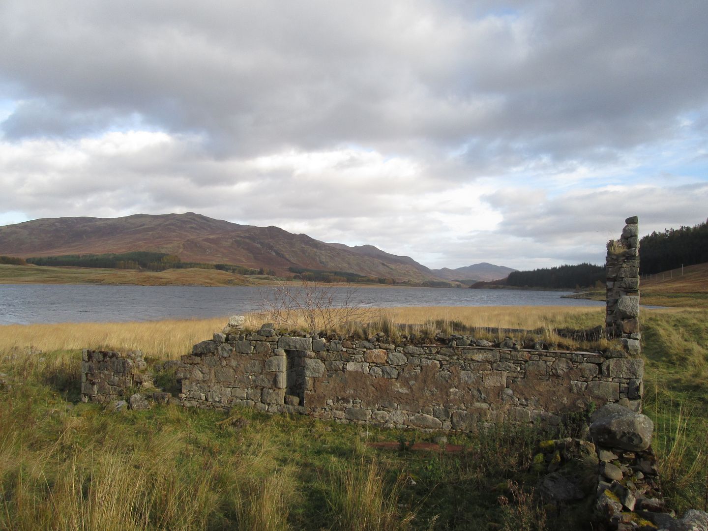 The ruin just to the east of Sherrabeg
 Geal Charn and Glen Markie across the water
The ascent up the side of the fence is fairly unpleasant on rough terrain with more than a few deep holes of the ankle breaking variety but after a bit of huffing and puffing and a few stumbles, I made it to the deer fence near the high point, which had to be clambered over, before reaching the crest of the ridge beyond the forestry.
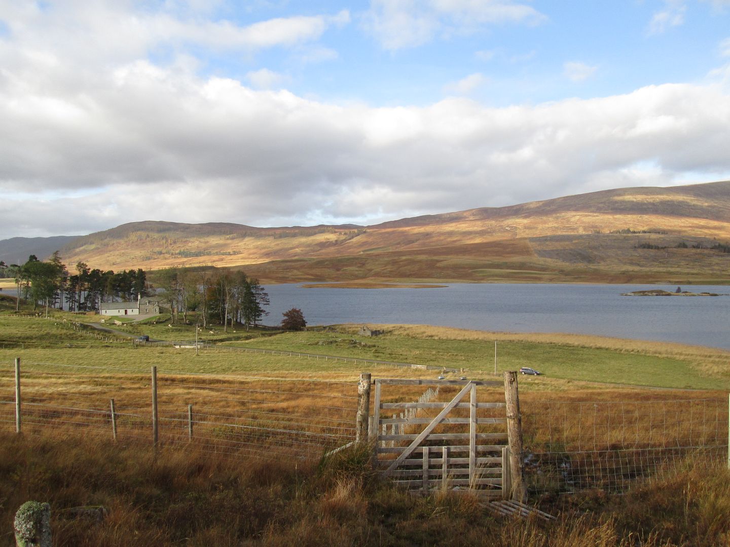 Sherrabeg and my car from the early stages of the ascent
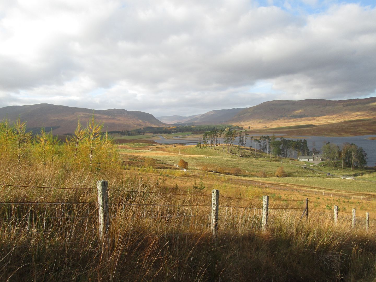 West up the Spey towards Garva Bridge
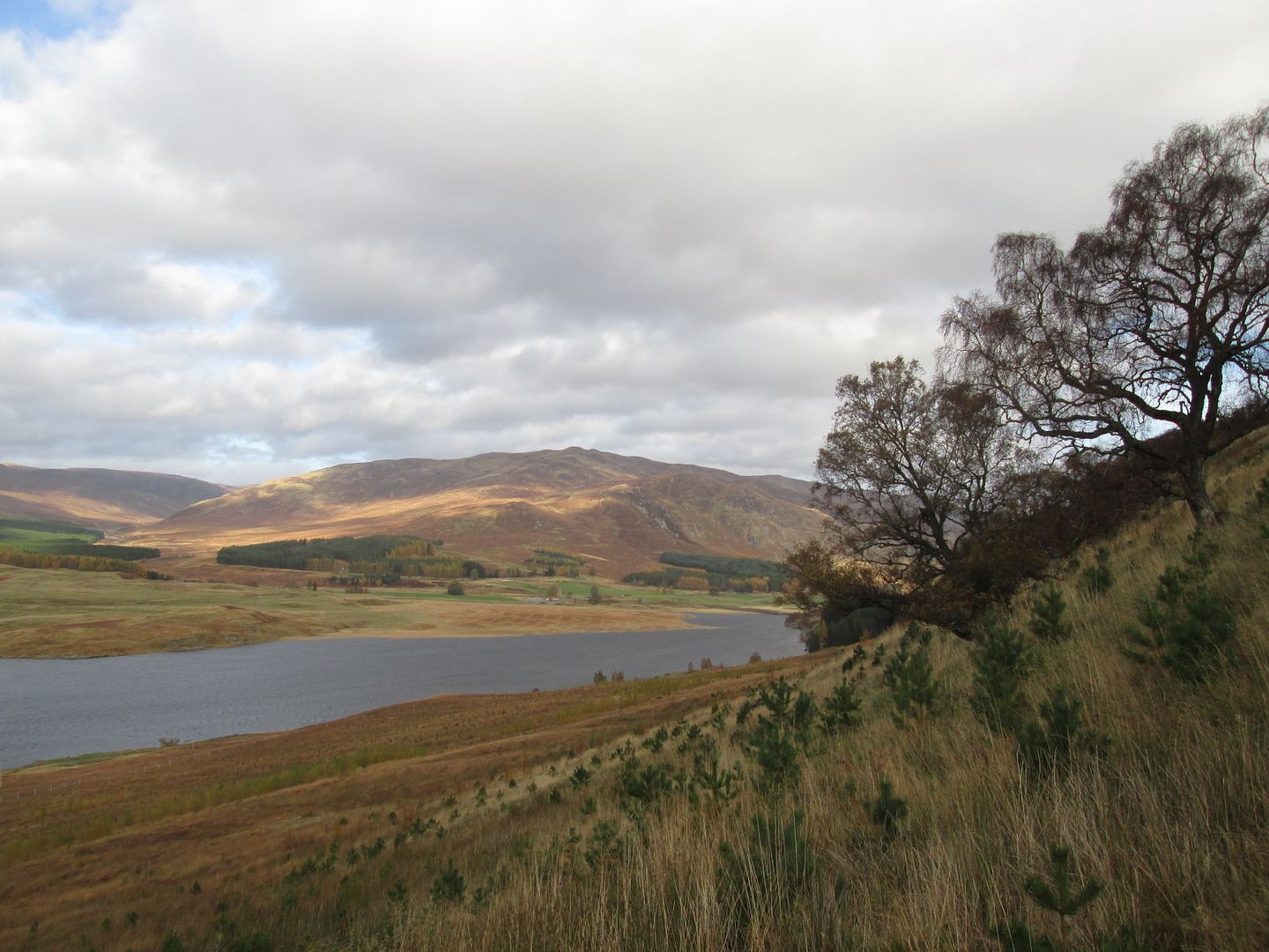 Blargie Craig from higher up
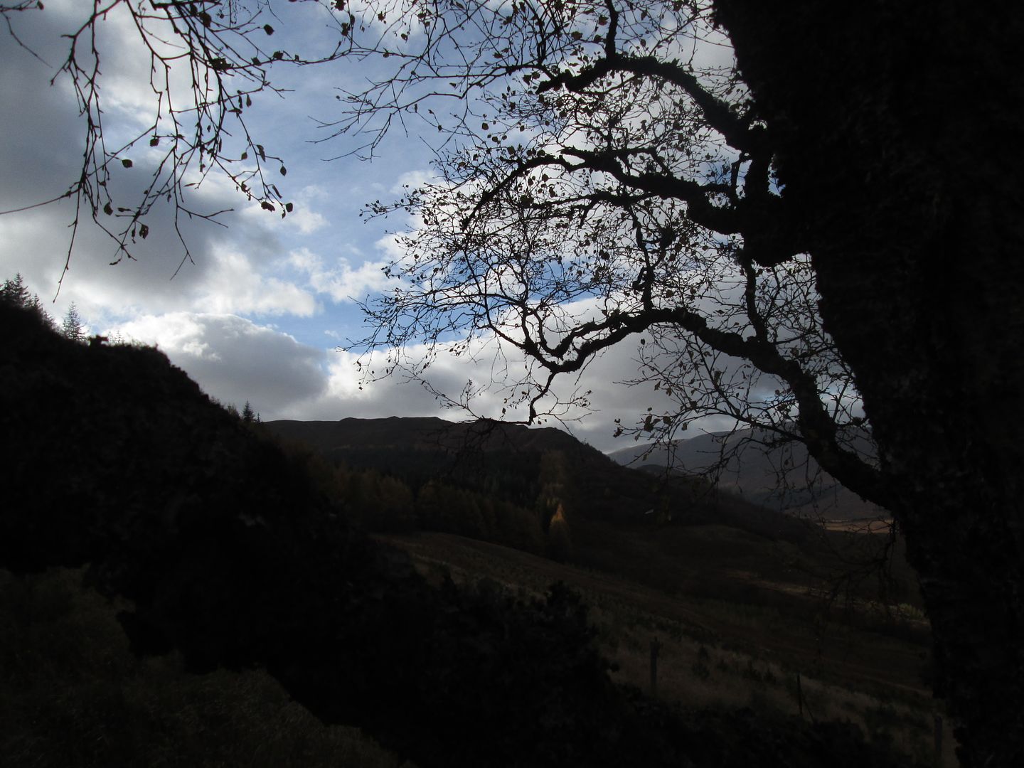 The Graham summit from behind a tree
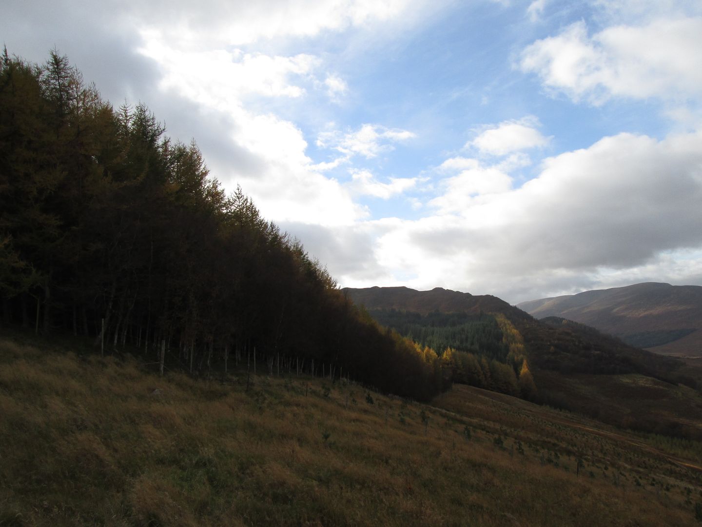 The normal ascent/descent route along the rising yellow tree line
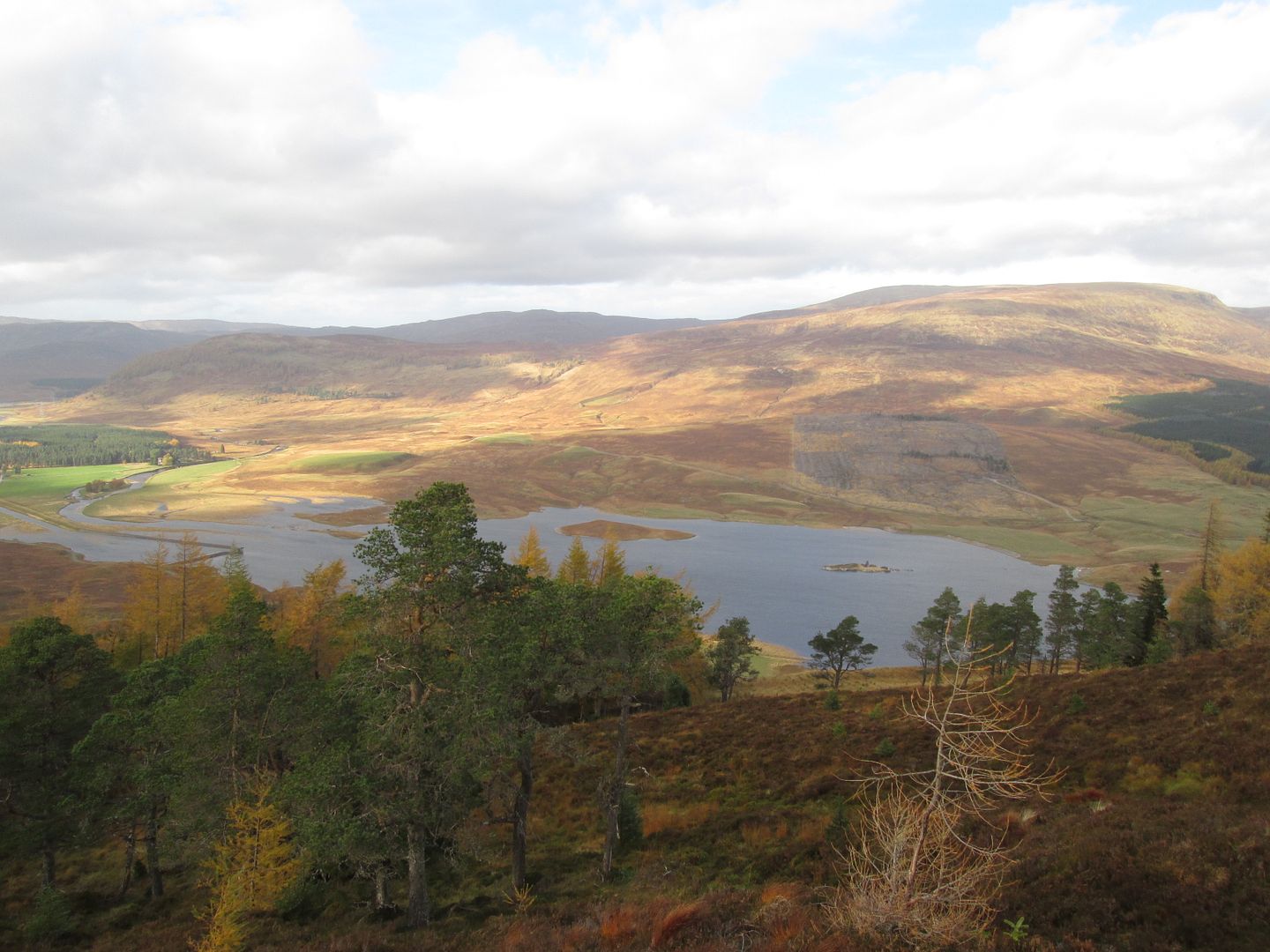
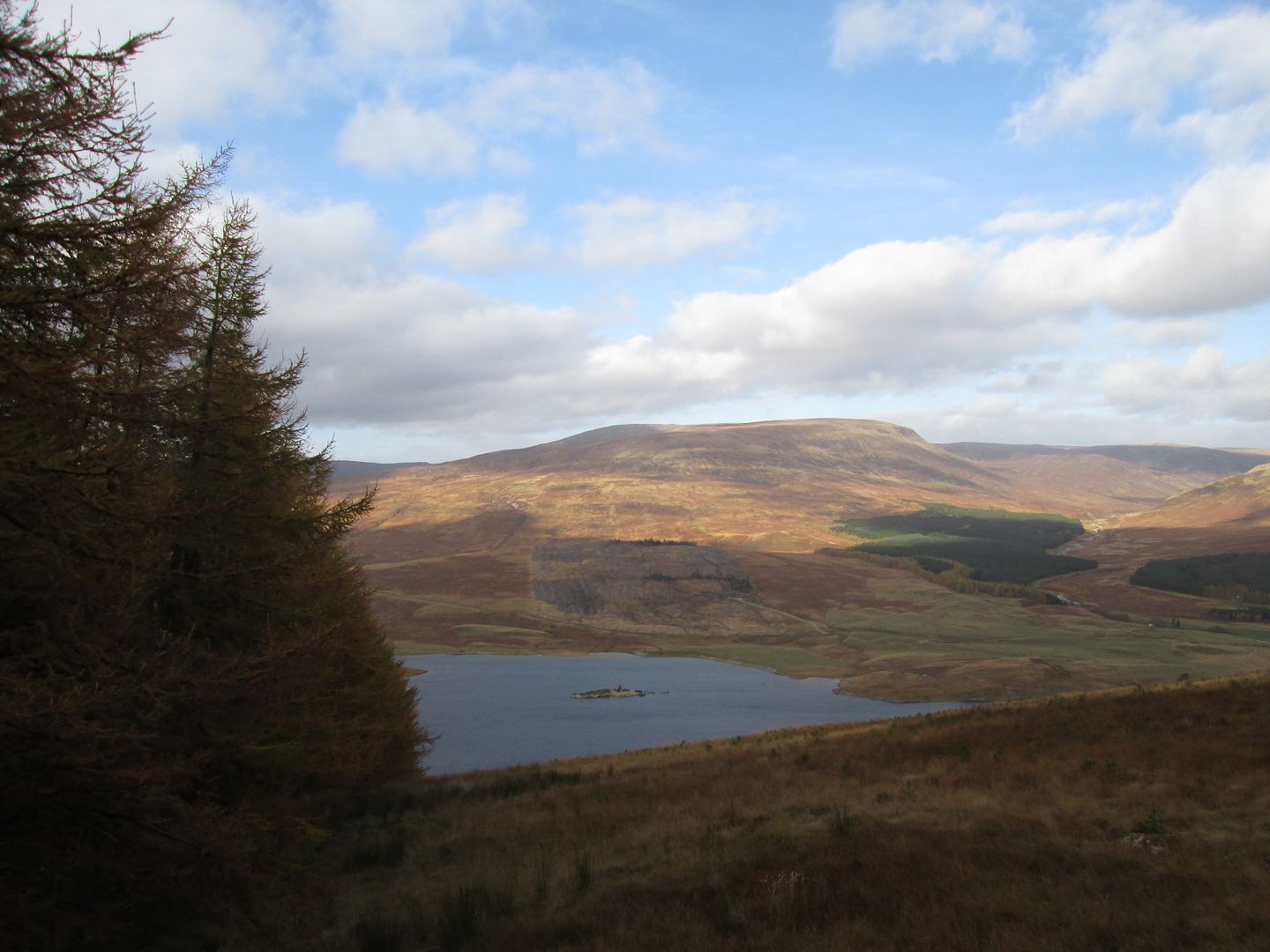 Geal Charn and Glen Markie
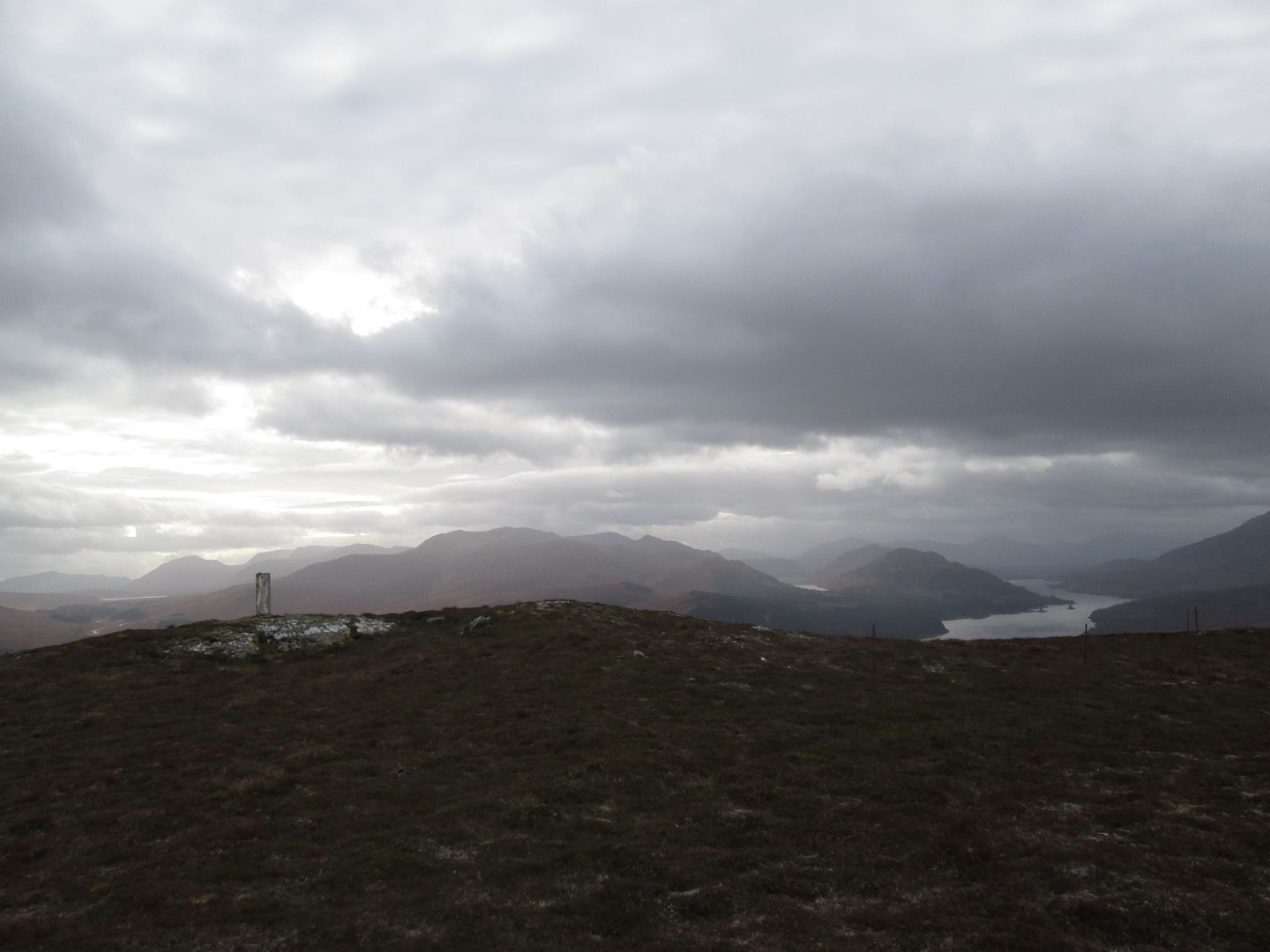
At this point I appeared to be on a way marked trail, judging by the marker posts with the trail name and symbol on them, but I cannot recall what its name was! There were views, albeit rather hazy ones, north east up the A9 corridor towards Newtonmore and Kingussie, south to the Loch Ericht hills and west to the Loch Laggan and Creag Meagaidh hills, as well as north over to Geal Charn and its neighbouring Corbett.
 Back down from the upper limits of the forestry
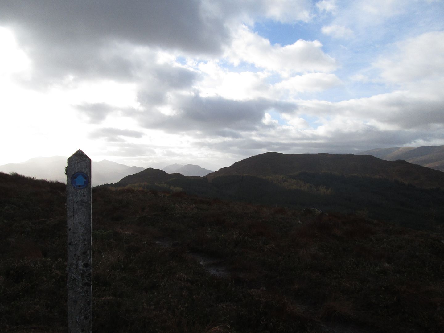 West along the trail towards the summit (right) and the 560m point (left)
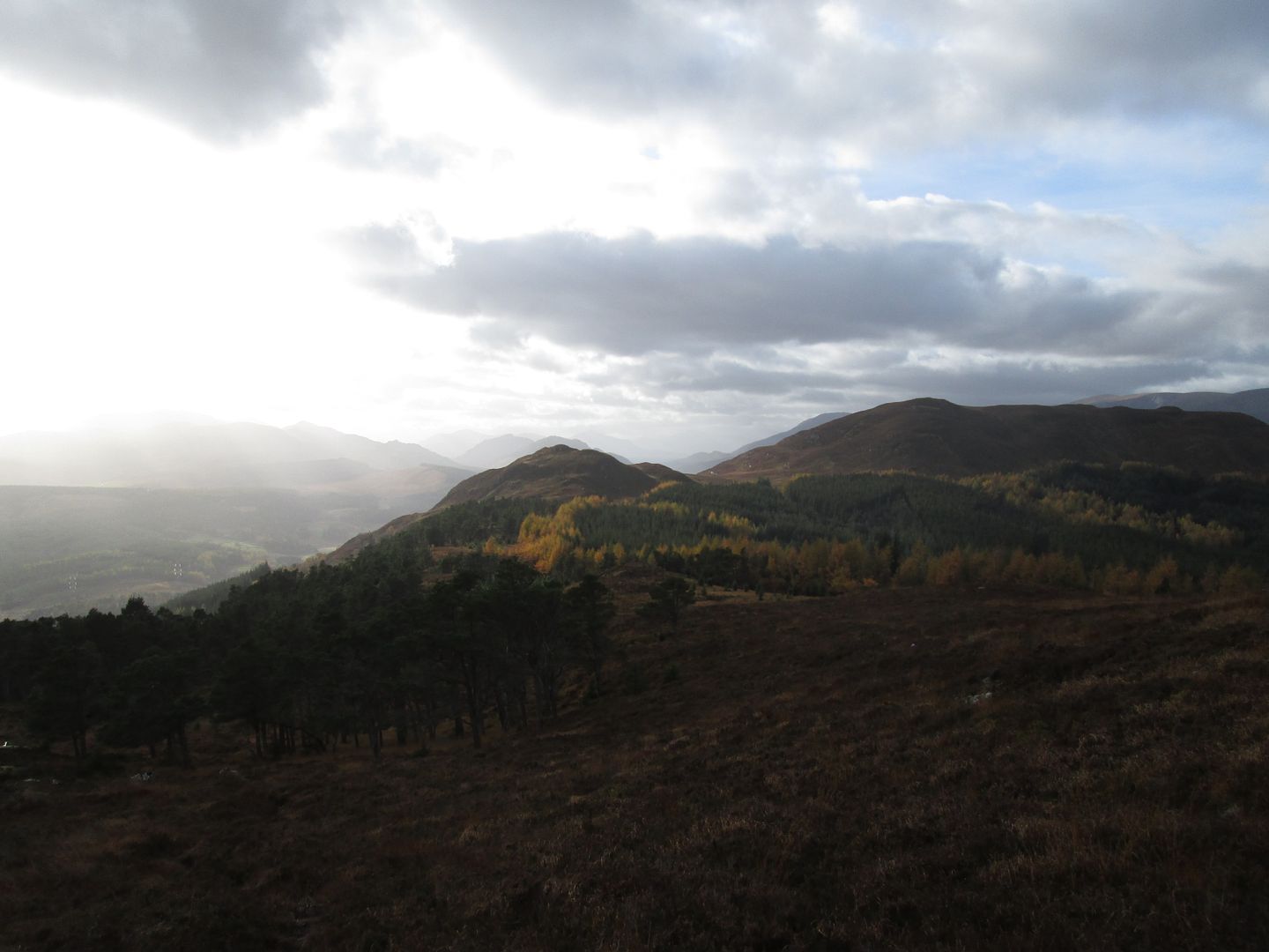
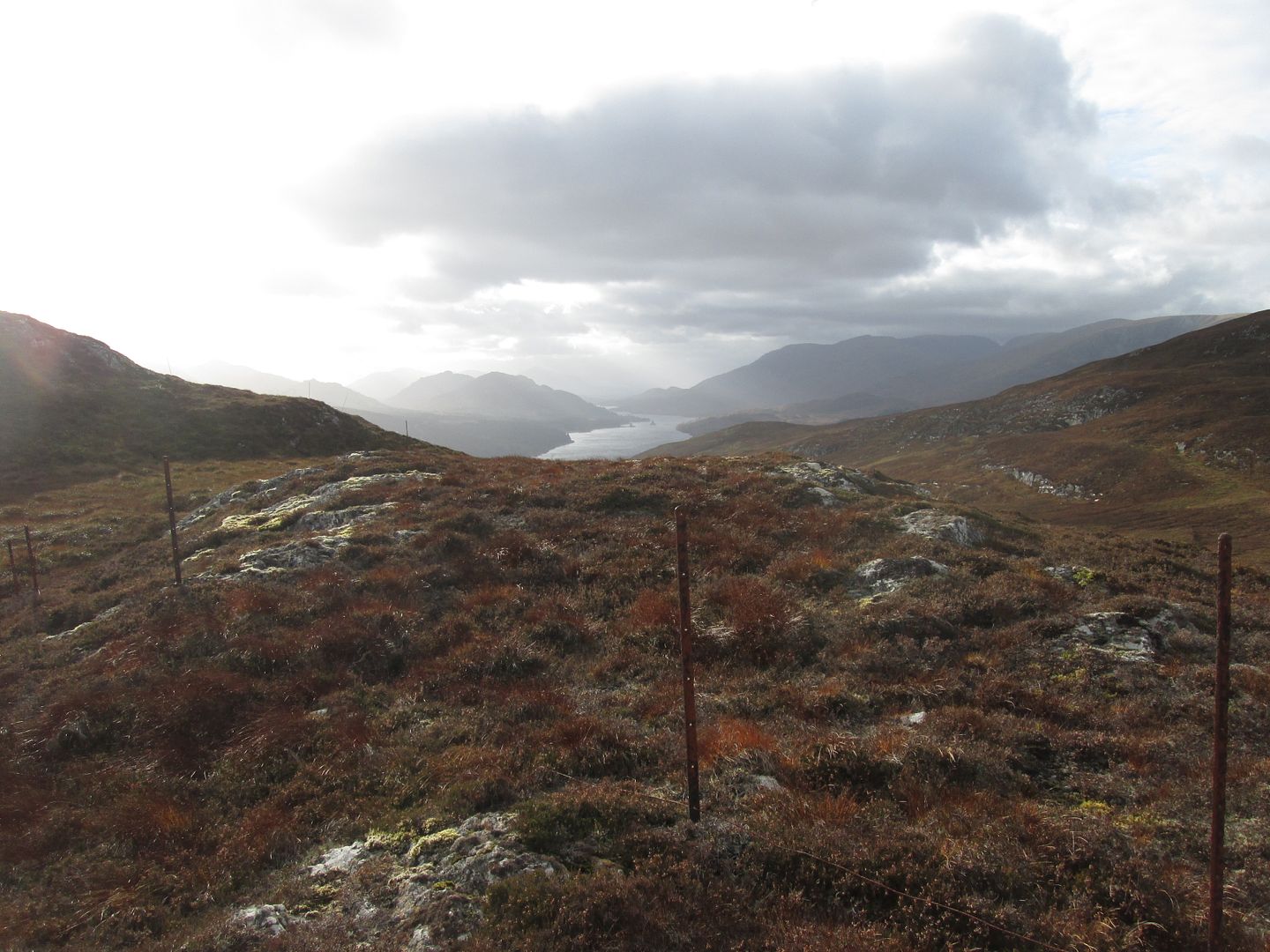
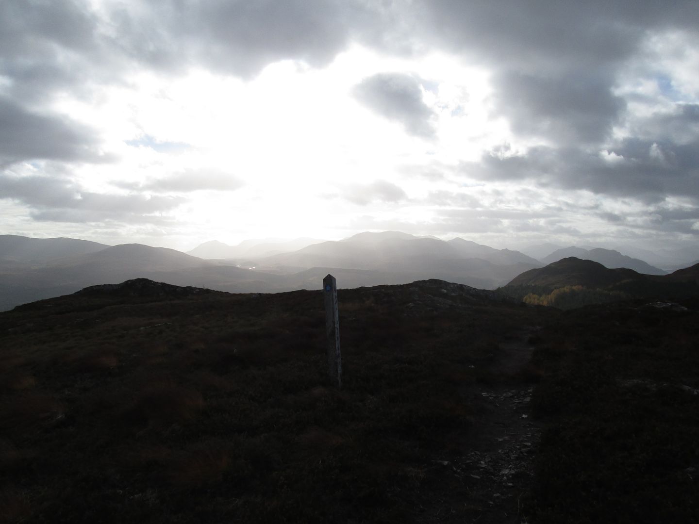 Towards Loch Ericht and the Alder hills, the Loch Laggan Grahams far right
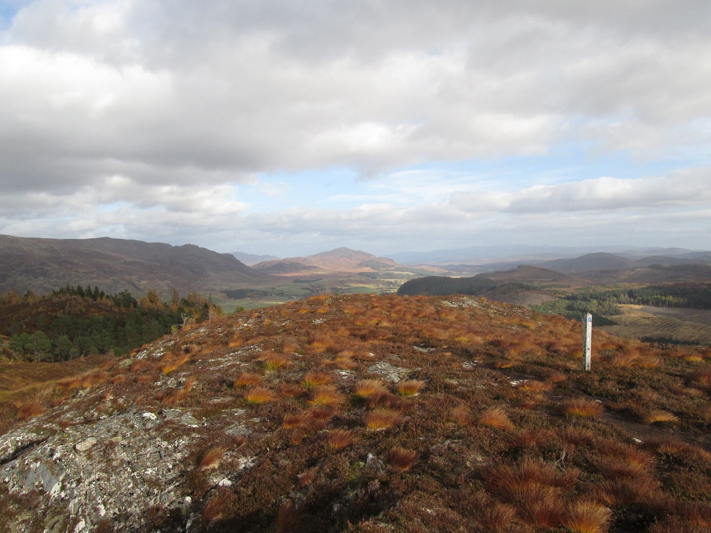 East down the upper Spey valley
I also had a pretty clear view ahead to my target and a reasonable idea of the lay of the land inbetween. Although not shown on my OS, the path of the trail was pretty clearly beginning to drop towards the main road to my left, so after a short distance I left the trail and threaded my way along the broad ridge towards the Graham summit. The tree cover up here was pretty sparse and caused no issues and I was soon at a rather broken down deer fence which gave access to open ground leading to the lower south east summit.
 Going off piste through the trees of Black Wood
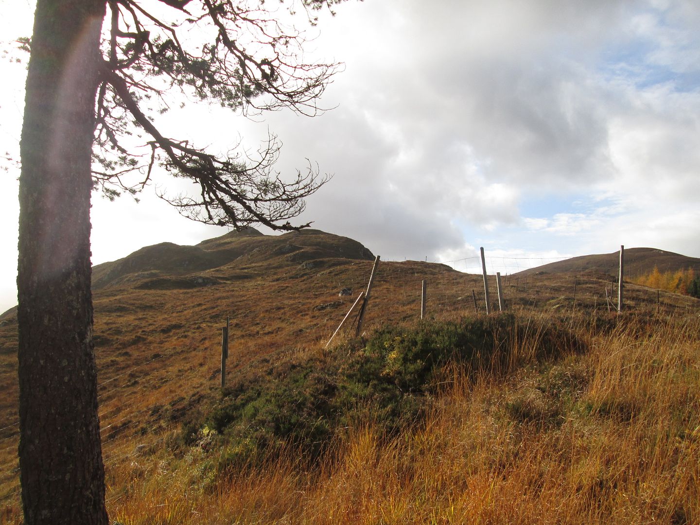 The 560m point from the western edge of Black Wood
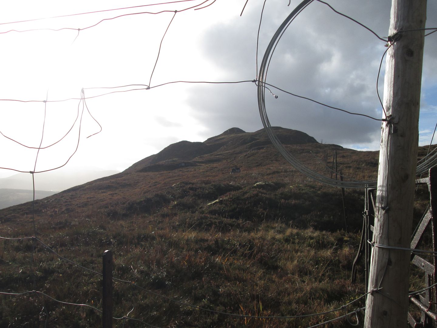 The Graham summit from the rather dilapidated deer fence
From there it was a straightforward descent and reascent up to the cylindrical trig point at the true summit, from where there were views of most of the aforementioned hills and lochs.
 Loch Laggan, the Grahams of Binnein Shios and Shuas, and the Creag Meagaidh hills
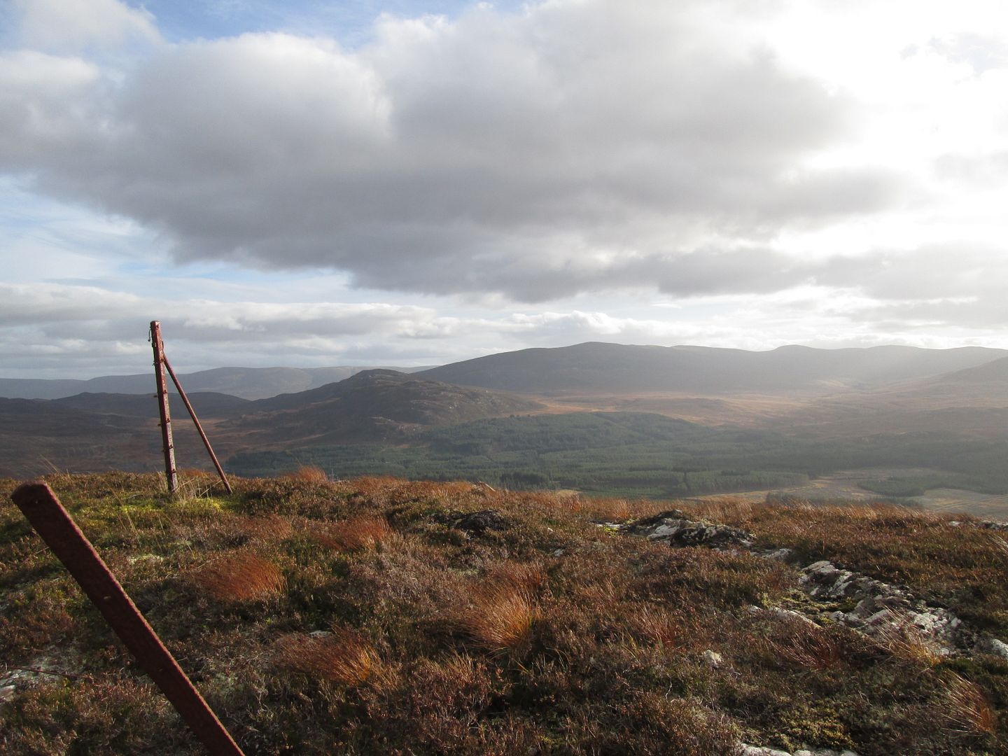 Meall nan Eagan and the Fara
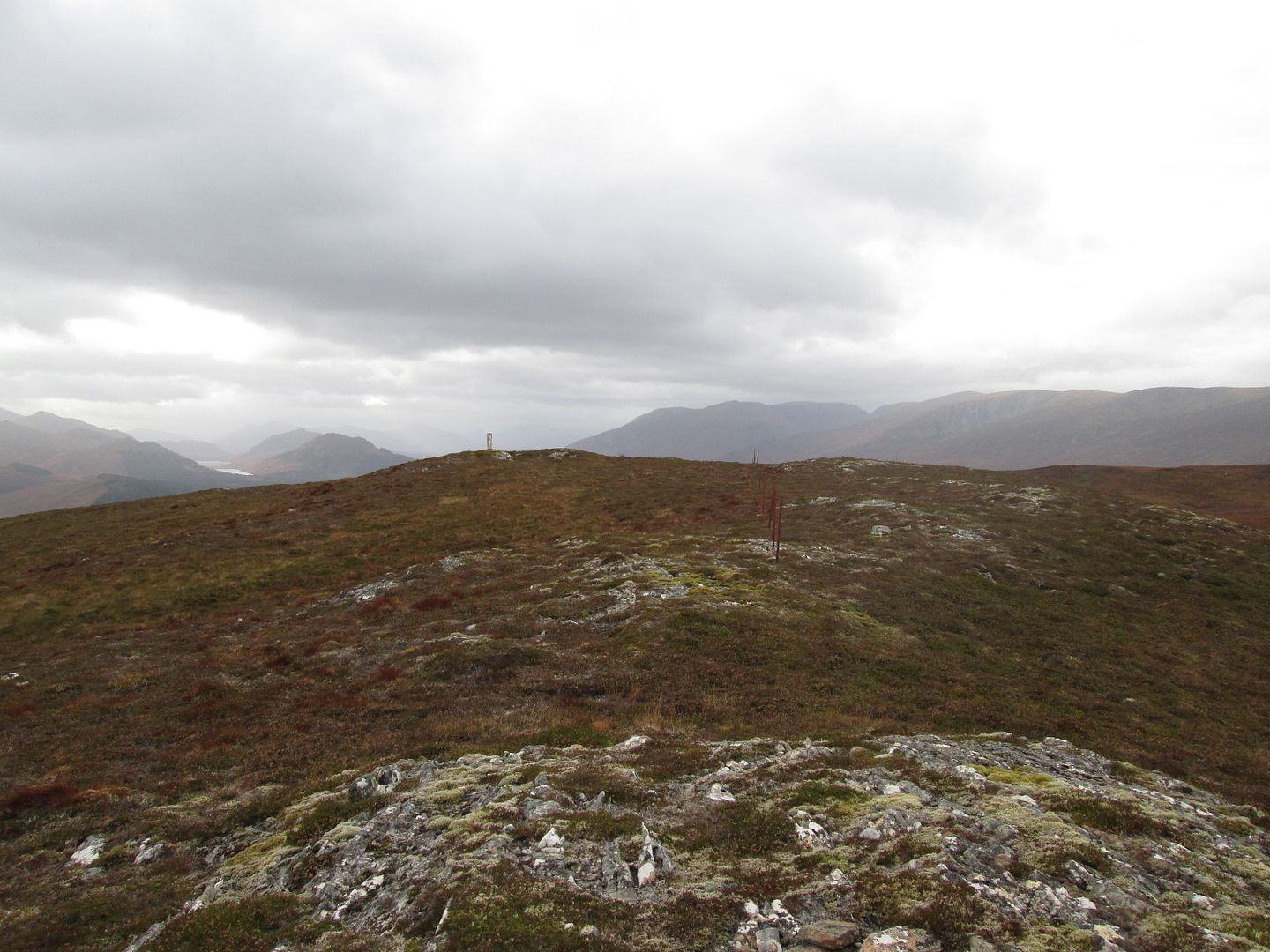 Approaching the summit - Loch na h-Earba visible to the left, the Window of Creag Meagaidh to the right
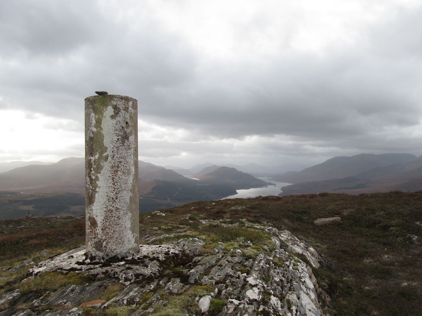 Loch Laggan from the trig
From there I descended via the north east ridge, increasingly rough in its lower sections, back to Sherrabeg and the car, before heading for the Friday night shenanigans at Ratagan.
 Farewell to Creag Ruadh and her more illustrious neighbours. Ratagan here I come!
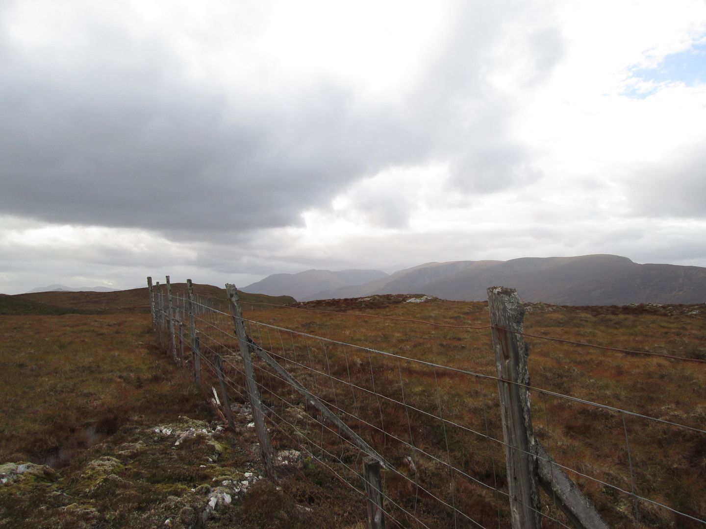 The Creag Meagaidh group from the top of the north east ridge
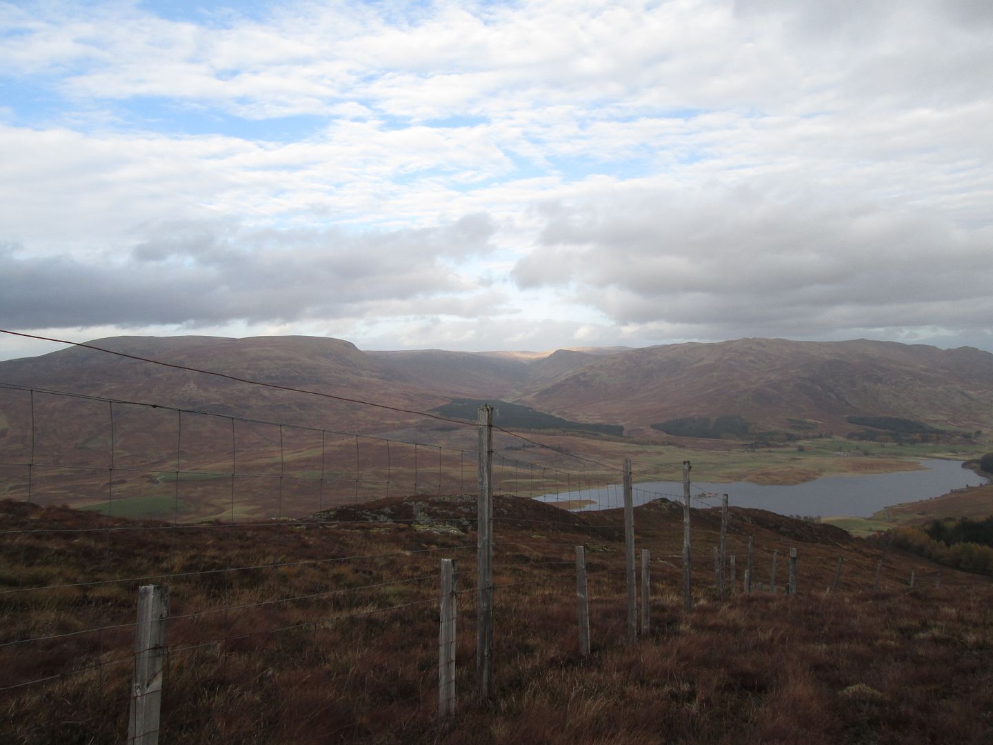 Looking down the north east ridge
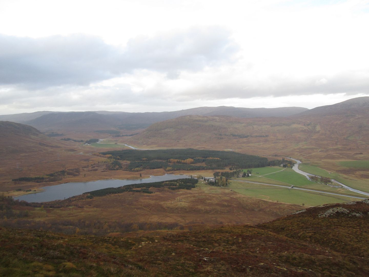 Loch Crunachdan and Glenshero Lodge
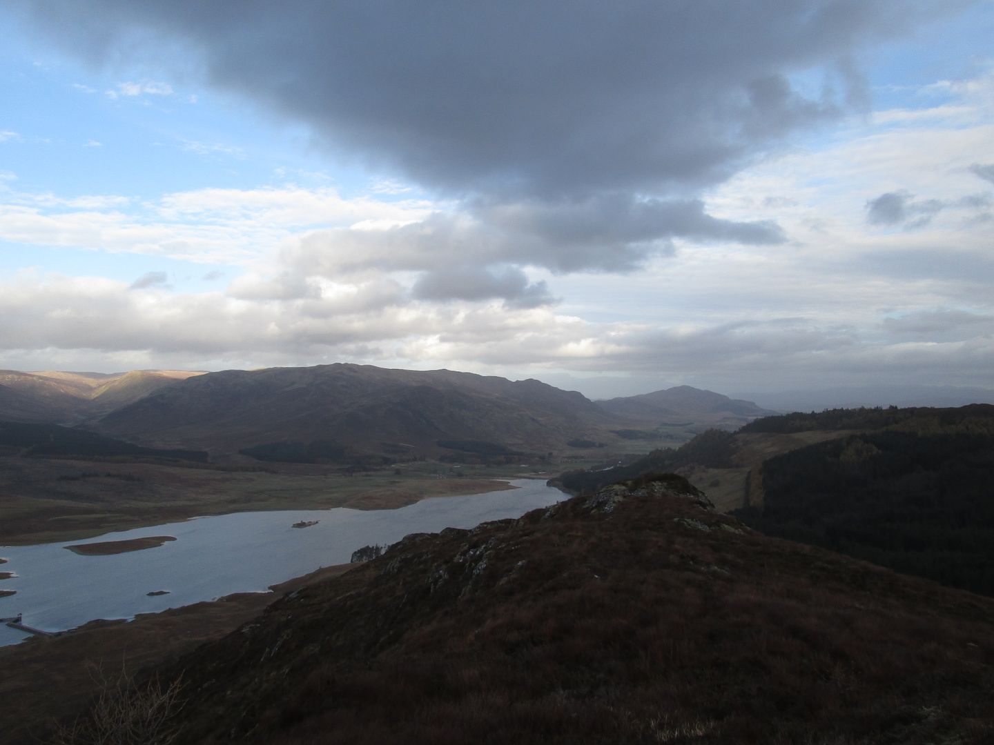 The final craggy outcrop on the descent down the ridge
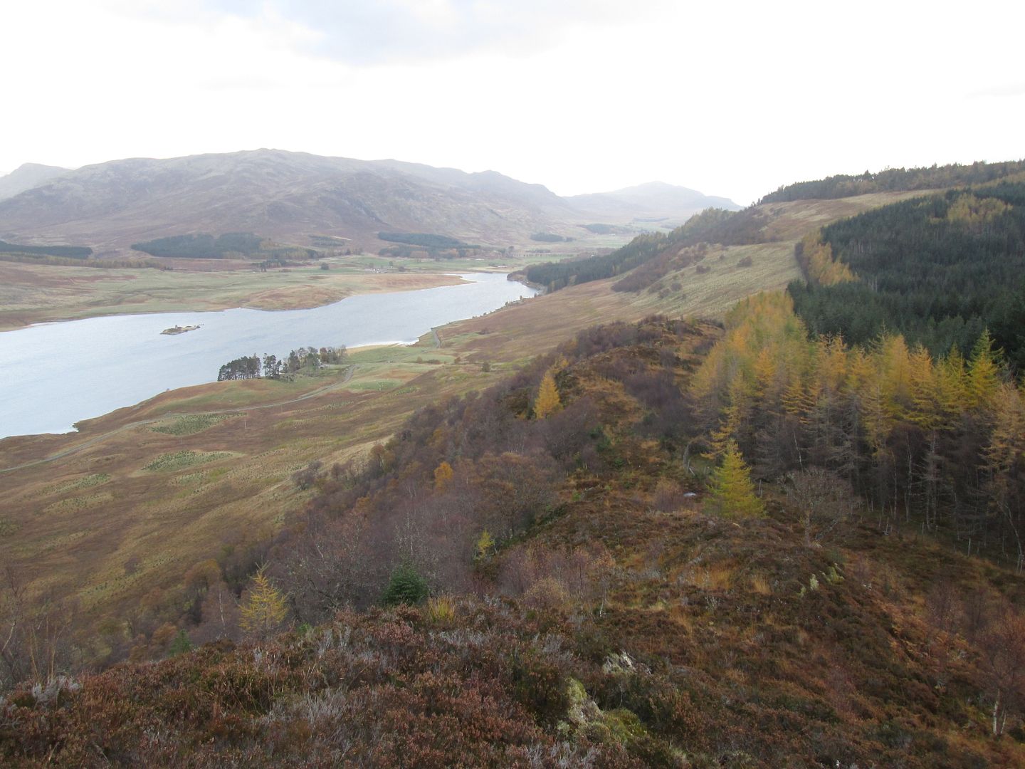 Much rougher terrain lower down
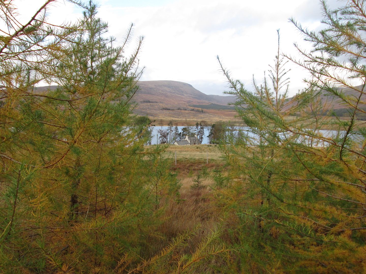 Sherrabeg through a screen of larches
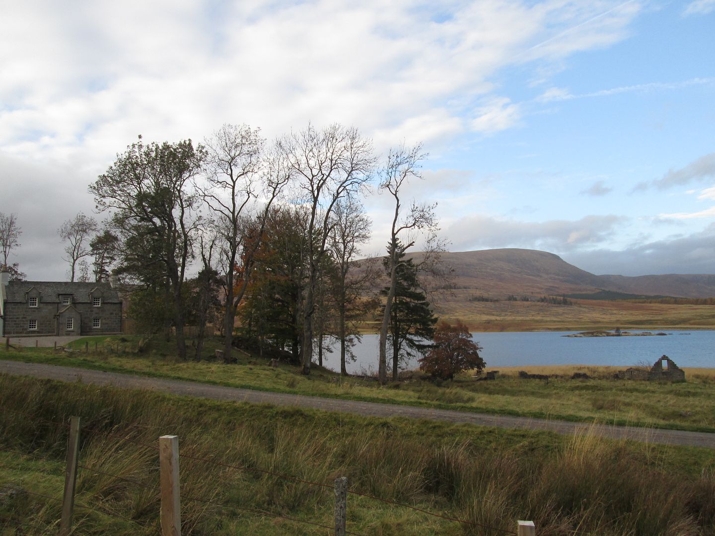 Sherrabeg and Geal Charn