free to be able to rate and comment on reports (as well as access 1:25000 mapping).
These two walks were very short, in the same area, and both done after work, so I have put them together in the same report. Both were suggested by and done with Dave R, who was getting increasingly itchy feet prior to his move down to Glasgow.
Carn a BhodaichTuesday 24/08/2010, 5.1km, 200m of ascent, 1 hour 30 minutes
I didn't expect to see another report on this hill so soon after HighlandSC's effort, least of all one by me. I had done this hill in 2006 before I was properly aware of the Marilyn list, but being the highest hill between Loch Ness, Strathglass and Glen Urquart, it had seemed like a good idea. Now Dave was after it, so I thought an evening re-ascent would be quite pleasant.
We left Inverness rather late, and weren't on the hill until 8.15pm. The light was already failing, but as we had chosen the shortest route up (from Ladycairn) we weren't too concerned. All that was required was to avoid the massive bottomless bogs that the track disappeared into now and again! In fact Dave had had a previous experience similar to HighlandSC's where he had ended up pushing his bike over this route. Only difference was he didn't make the short diversion to the summit.
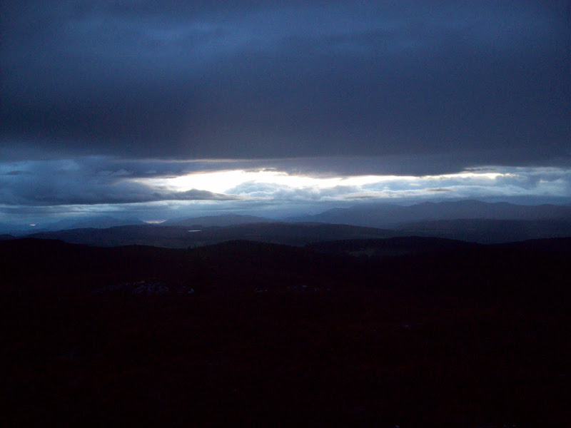
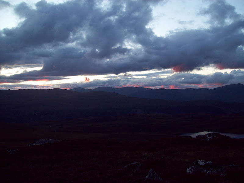
The path was definitely wet, and the diversion through the woods was longer than I remembered, but we were soon climbing the rough heathery slopes to the trig point. While we hadn't got wet, there were showers all around. The light was almost gone, but what was left was very atmospheric. Having forgot my tripod, I made reasonably good use of the trig point to get some photos.
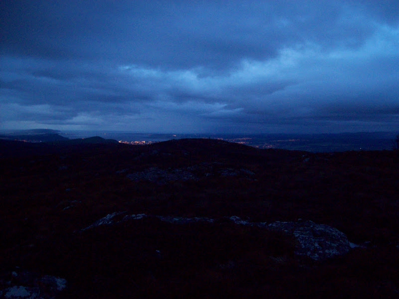
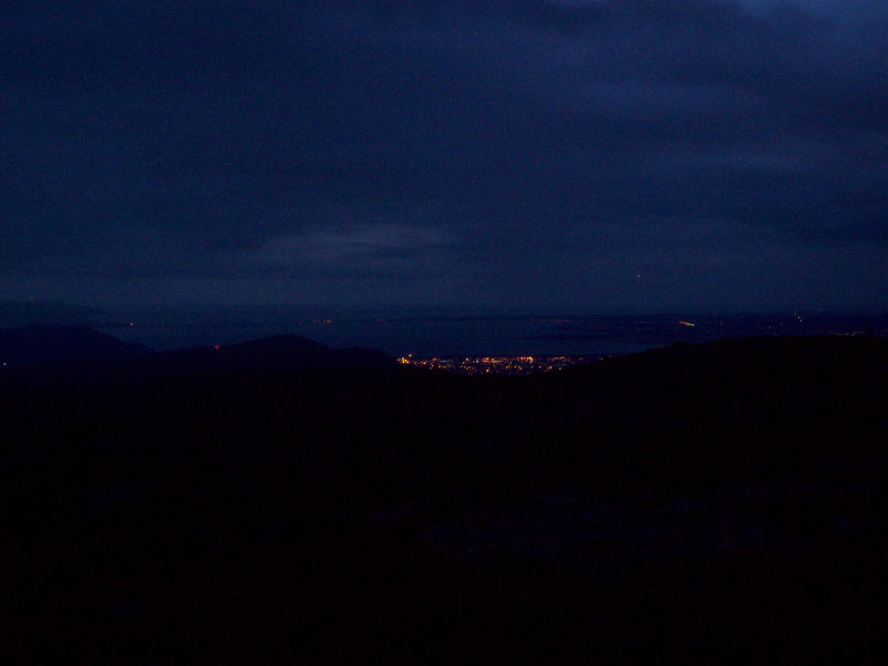
Inverness and the Moray Firth:
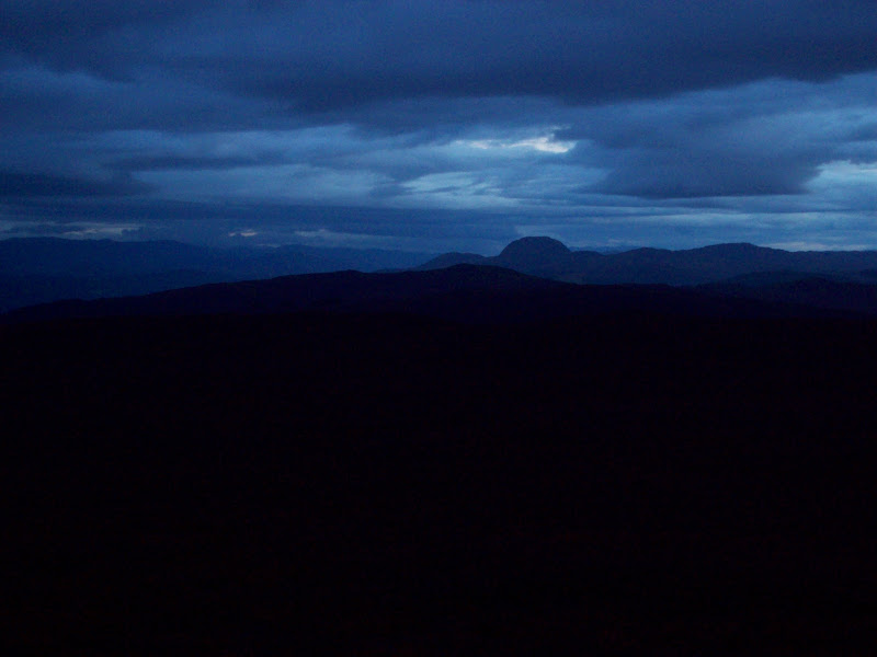
Meall Fuar Mhonaidh:
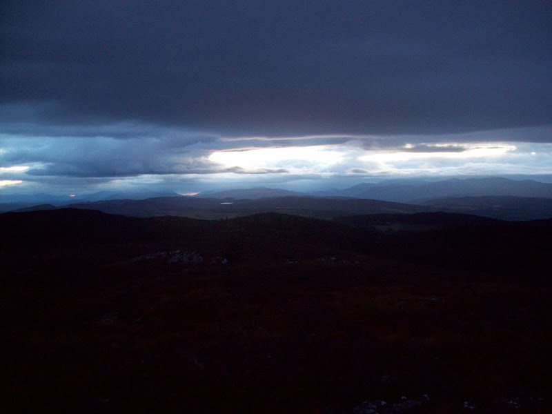
Glen Strathfarrar and Glen Cannich - last light in this direction:
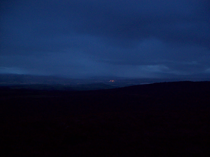
Through the gloom to Beauly:
West again to Cannich and Strathfarrar:
Zoom to Inverness, Fort George and Chanonry Point:
We dropped back NW to the track, covering some rough ground but cutting a corner. Once in the woods, we tried to avoid the wettest parts of the track but ended up floundering around in the dark. Soon enough though, we were back on the road at Ladycairn. This little expedition gave me back my taste for going out on the hills at night.
Carn nam BadThursday 26/08/2010, 9.6km, 430m of ascent, 2 hours 30 minutes.
I'd mentioned to Dave on the last walk that Carn nam Bad was the only Marilyn I hadn't done in the area bounded by Loch Ness, Strathglass and Glenurquart. Neither had he, so on Thursday evening we found ourselves out again. The quickest route to the summit started near Millness on the Drumnadrochit to Cannich road, but I had spotted a more interesting way from Strathglass. It still wasn't that long, so we went for that instead.
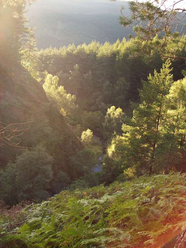
An earlier start saw us parked up opposite Mid Crochail at 7:15pm. We followed the forestry track up through mixed woodland as it wound around towards the gorge of Allt a Chrais. Although a vehicle track, it was rarely used and had a nice grassy surface. The gorge was unexpectedly impressive. Not massive, but I was still wondering how I had never noticed or heard of it before. We saw something, possibly a stoat disappearing into a gap between some boulders. Neither of us are that knowledgable when it comes to wildlife, and it was away too soon to get a photo, but it was dark brown and cat sized, although much squatter.
Gorge on the Allt a Chrais:
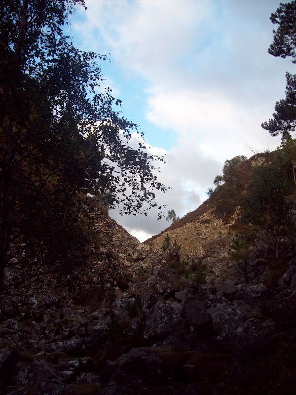
The gorge again:
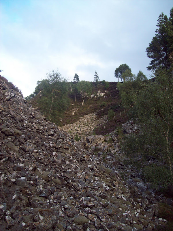
Looking down the gorge:
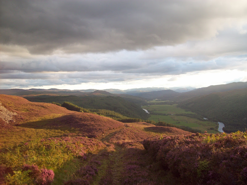
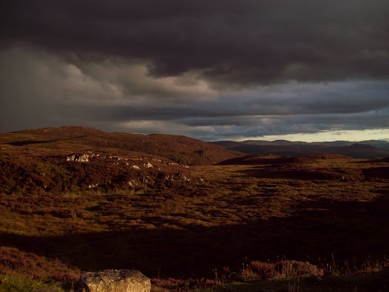
Shortly after the gorge, we kept right and followed the track NE onto open moorland. The sun was just about to disappear behind the hills and the views back down Strathglass over Cannich were really impressive. Sgurr nan Conbhairean was quite prominent in the distance, being very triangular in shape.
Looking up Strathglass over Cannich:
Sun and menacing clouds on the moorland:
Looking south over the moorland:
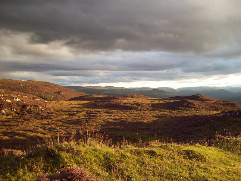
Different exposure:
We took an ill-advised shortcut across the heather to reach Loch Carn nam Badan. This wasn't too bad, but with the good track nearby was completely unecessary. A few wetter sections in the track to the east of the loch, but still pretty easy going.
Looking west across Loch Carn nam Badan:
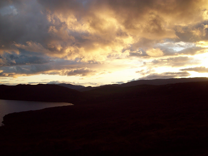
Loch Carn nam Badan:
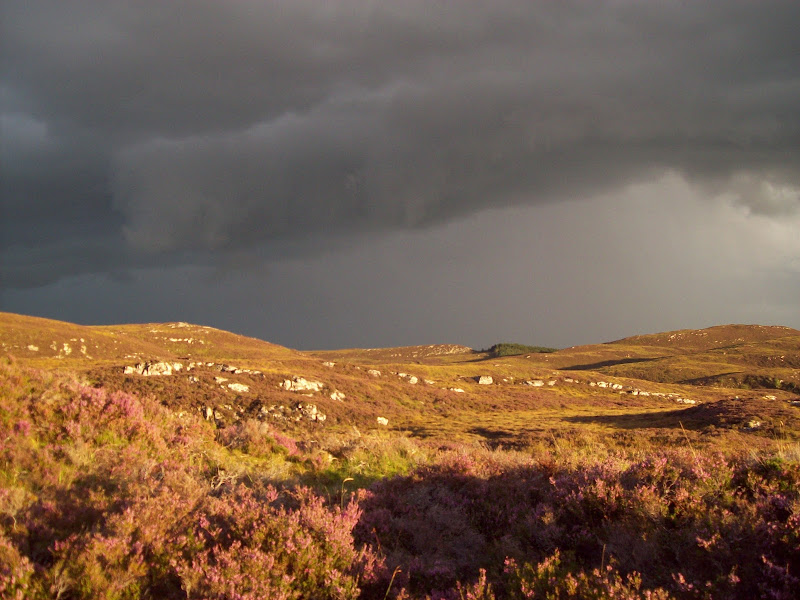
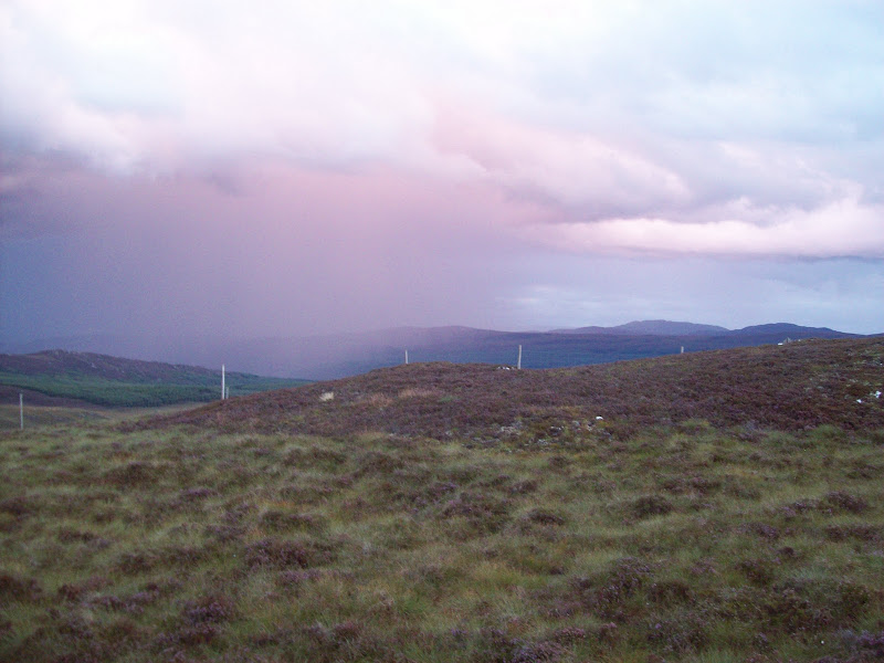
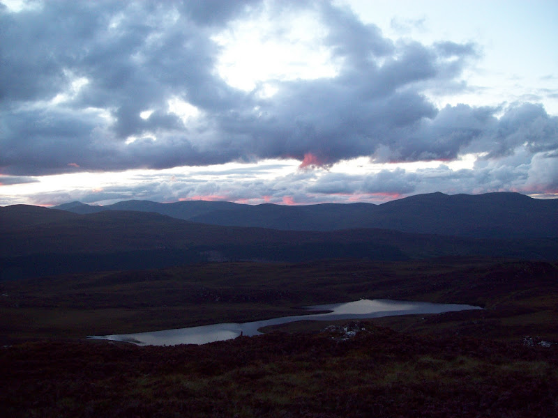
We took the shortest route up from the track to the summit, but this resulted in some rather desparate scrambling on greasy rock for the last 10m. This could easily have been avoided on either side, but did put us directly on the summit. The rain showers to the east had an impressively red tinge to them, but we were still dry.
Red rain on the summit (looking east):
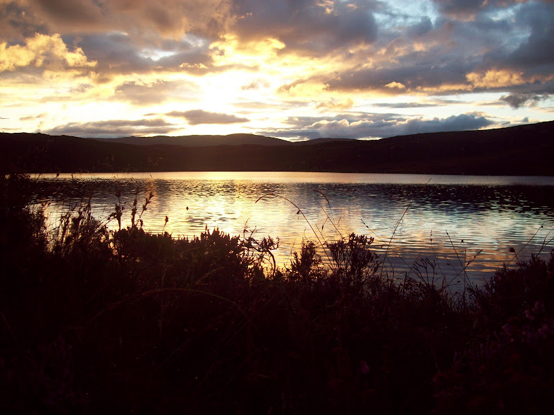
Looking across Loch nam Badan from the summit towards Strathfarrar:
Rain less red now:
Pink clouds over the Strathfarrar Munros:
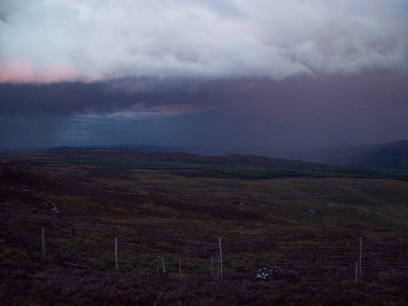
As the light dropped, there were atmospheric streaks of pink to the west. We went back down to the track, passing by luminous orange markers. These are most likely to be marking the path of the new Beauly-Denny power line, which is currently scheduled to go over this area rather than down Strathglass where the existing lines go. They will doubtless ruin the view a bit, but ironically the route probably goes this way to placate the pressure groups opposed to them! Such is life...
We rejoined the track at a location slightly south of where we had left it, and made our way back down the maze of forestry roads in the dark. Another fine evening out on the lower hills. In fact I'd recommend this route to anyone staying in the Cannich area and looking for a shortish walk. Even without the diversion off the track to the summit, it is varied and has good views.
