free to be able to rate and comment on reports (as well as access 1:25000 mapping).
New Year's weekend. Weather forecast was for heavy rain on Friday and Saturday almost everywhere, but the Borders seemed to be spared. An ideal opportunity to head down there and play catch up on Allison's missing Grahams, do her Donald count no harm either. Three quite long walks, possible if there was no snow lying in the daylight hours at hand.
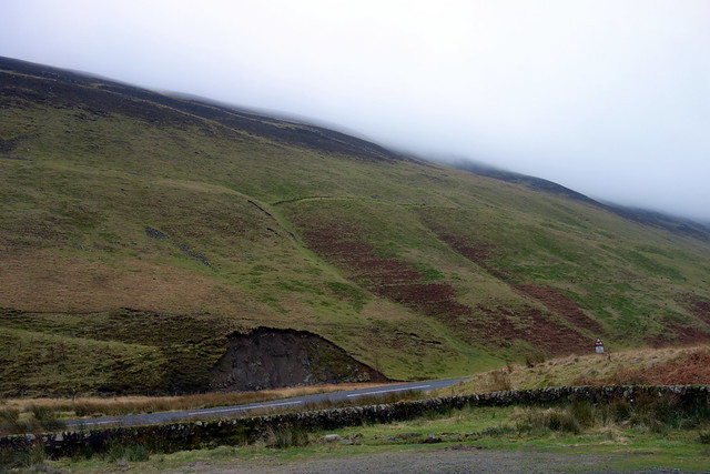
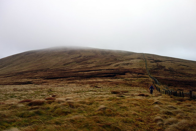
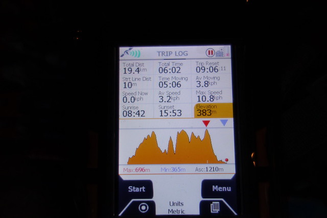
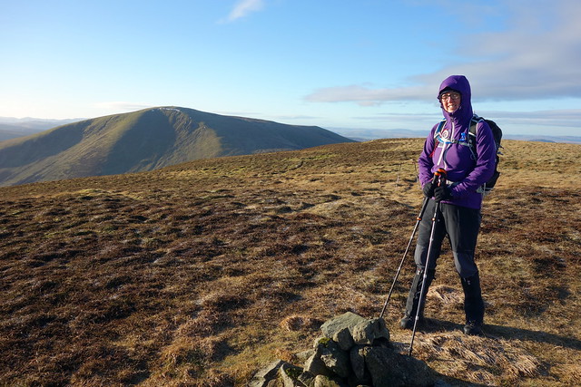
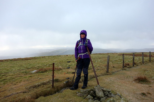
We headed down Moffat way on Friday morning, arriving at the Grey Mare's Tail car park at 10ish. I'd chosen to climb the 4 hills lining the road, from Herman's Law to Bodesbeck Law. We'd start from the car park, go straight up Mirk Side, head south first, then return in the direction of Herman's Law, saving a long road walk. A bit steep going up Mirk Side, but mangeable on grass and short heather. Unfortunately clag sat along the tops of the hills, so today was not going to be one for views. We reached Bell Craig, and continued through thick clag towards Mid Rig, then followed the fence line along. We passed over Nowtrig Head, a Simm I hadn't climbed previously on our way to Bodesbeck. Bitter wind, some shelter sought just below the cairn for lunch. Then retracing our steps along to Bell Craig and on, so easily, up to our Graham, Andrewhinney Hill. More easy going along the fence line to Herman's Law, passing several further cairns. An empty pack of Gripples sat beside the fence (they're for splicing fencelines together). Down the path to Birkhill and then a mile or so along the road to the car.
Up here
 DSC02377
 by
Al, on Flickr
Grey Mare's Car Park
 DSC02378
 by
Al, on Flickr
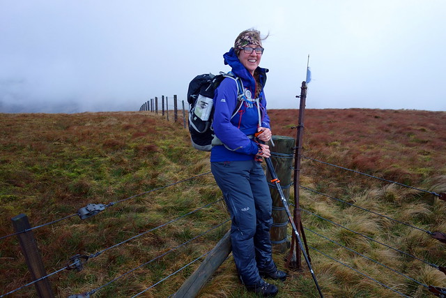
Bell Craig
 DSC02379
 by
Al, on Flickr
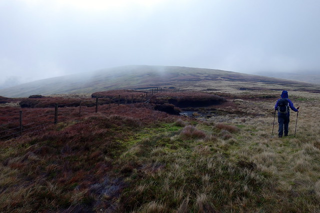
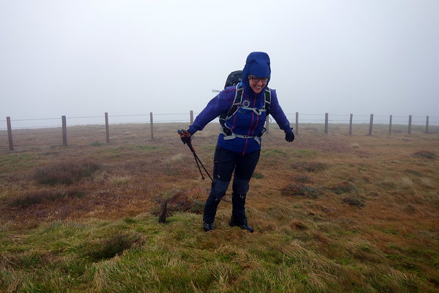
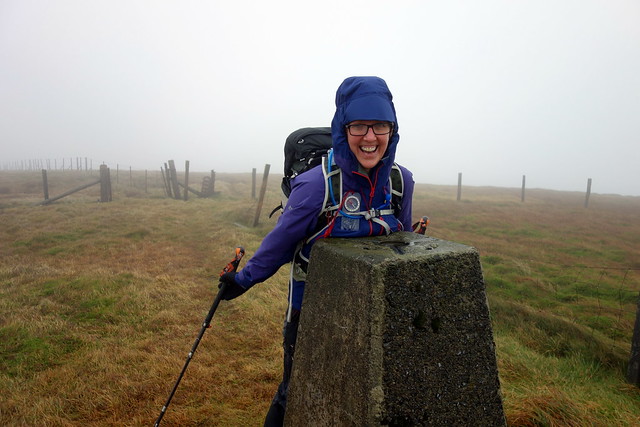
Andrewhinney
 DSC02381
 by
Al, on Flickr
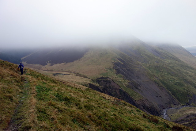
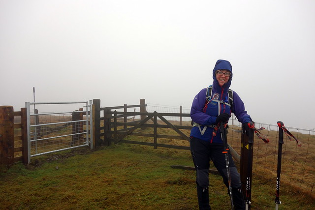
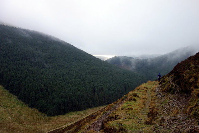
On to Herman's Law
 DSC02382
 by
Al, on Flickr
 DSC02383
 by
Al, on Flickr
 DSC02384
 by
Al, on Flickr
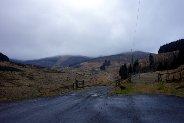
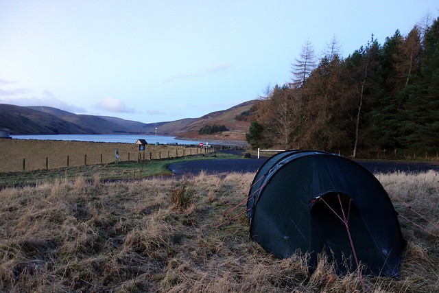
Next question - where to camp? I'd planned the Ettrick Pen circuit for the following day - we could either stay near Grey Mare's Tail, or consider an alternate start for the circuit, from Ettrick. Looking at the map, this cut down both distance and ascent compared to the route from Bodesbeck Farm, although it did need a lengthy drive round the top of St Mary's Loch. I decided to try for a camping spot along the Meggat Reservoir, leaving us a 20 mile journey in the morning. Pitch discovered, we set about getting fed and settling down for the night.
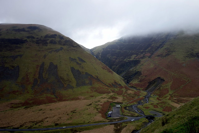
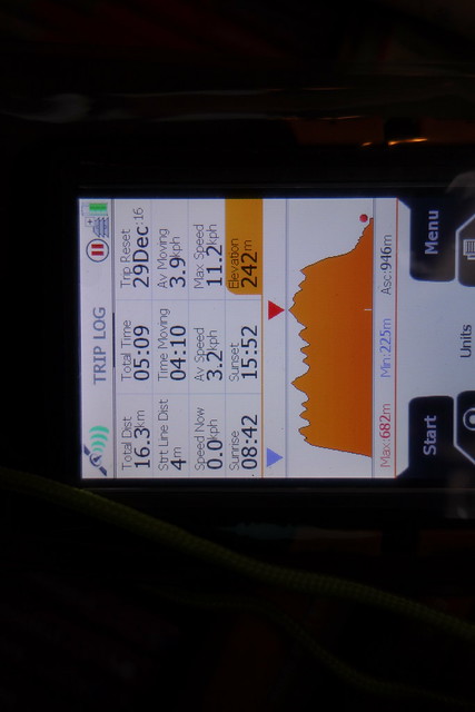
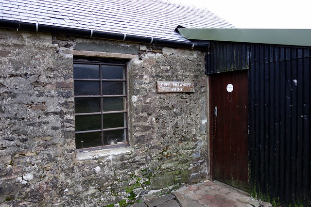
Saturday - we were up at the back of 7 and off in the still darkness along to Ettrick. A crazy border terrier rushing out of a farm gateway to "round up" the car almost got squished. We parked at the end of the road, before Potburn and set off, initially through the woods, over Pot Law and on to Fauldside Hill. From here it was more fence following, over White Shank and on towards Capel Fell. Drop down to the much rougher terrain of Craigmichen Scar following the Selcoth Burn from high up on the south bank then the circular sheep fold. Ahead lay the steep Croft Head, a path zigzagging up the eastern side. Knowing that this is followed by the steeper climb up Lochfell Shin, we take it easy, have lunch in a sheltered nook on the descent. Then, no avoiding it, 200-odd-metres of steepness joining the treeline to the flat top of West Knowe and on to Loch Fell. At the trig point we turn NE and descend, still in clag, some bogginess under foot. Onwards over Wind Fell to Hopeton Craig, knowing only one more hill lies ahead. Arriving at the large cairn on Ettrick Pen Allison is almost blown from her feet. We descend west towards the trees and then find Over Phawhope bothy - very neat and tidy with leather couch, new sleeping platforms, maybe even electric light (although didn't switch on for us). Expect it would be packed for the bells tonight, but now it's empty. Onwards along the track, past Potburn, the rain begins to drizzle - pleased it has stayed off this long.
View from the end of the public road
 DSC02385
 by
Al, on Flickr
 DSC02386
 by
Al, on Flickr
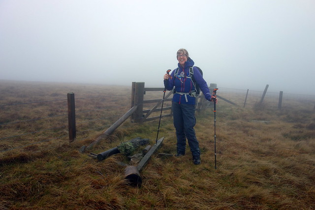
Capel Fell - windy
 DSC02387
 by
Al, on Flickr
Towards Croft Head
 DSC02388
 by
Al, on Flickr
 DSC02389
 by
Al, on Flickr
 DSC02390
 by
Al, on Flickr
Loch Fell
 DSC02391
 by
Al, on Flickr
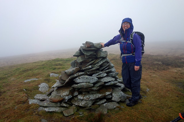
Ettrick Pen
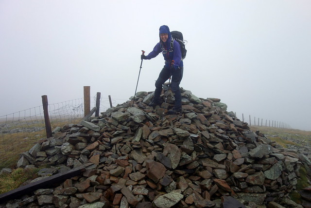 DSC02393
 by
Al, on Flickr
 DSC02394
 by
Al, on Flickr
 DSC02395
 by
Al, on Flickr
Drive back to Meggat where wwe have decided to spend another night. Heavy rain as we get the tent up, continues most of the evening. Owls gossip outside. Quiet night otherwise. Rain stops in the late evening, very mild til about 4am when it suddenly chills. In the morning the raindrops have frozen on the tent, the zip gummed shut with ice. Cold fingers getting the tent dissembled.
 DSC02396
 by
Al, on Flickr
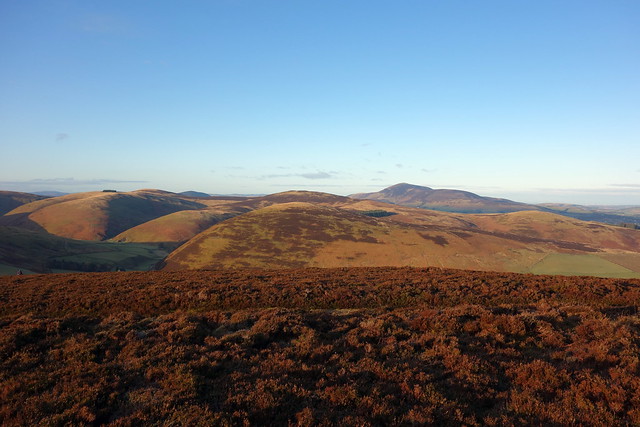
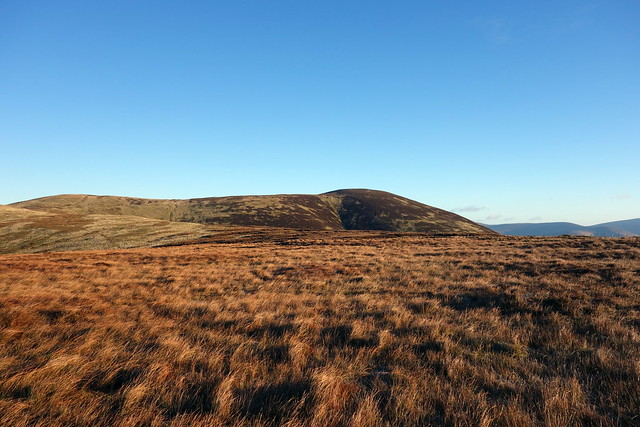
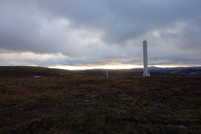
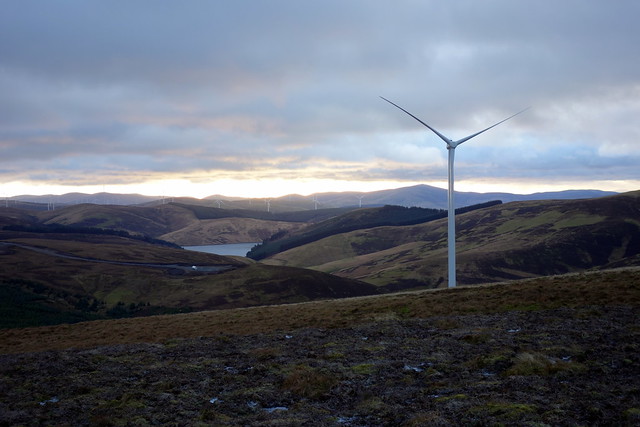
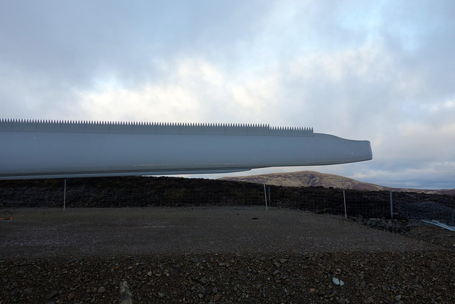
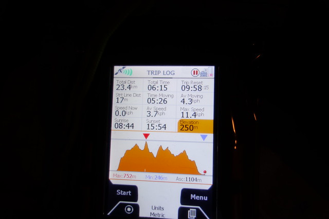
But the weather is fine - we drive to Culter along a quiet M74 arrive behind a number of other walkers out for their New Year's hill. I offer Allison the choice of just the 2 Grahams - our priority after all - or the 5 Donald circuit. Wise lass, she opts for the bigger route. I've routed us up by Tippet Knowe, which avoids having to ascend then re-ascend Culter Fell when heading out to Chapelhall Gill. It is still a bit of a slog, ground half-frozen bog wind chill. We follow more fences, King Bank Head and onto Chapelgill. Time's ticking on, though I know the second half of this circuit is a good deal quicker due to good tracks. Retrace, back to Culter Fell, pass some other walkers as we near the summit. Cold hands despite my good gloves. own the easy slopes to Moss Law, stop for lunch by the fence. Down to the stream at Holm Nick and up the rounded shoulder of Gathersnow Hill, following an ATV track. No time to pause at the summit - too cold. On to Hillshaw Head then onto the windfarm track which makes rapid progress possible, past a number of semi-built turbines, toothed blades waiting assembly. Sky over to the west is glowing yellow/orange. Off the track near the top of Dod Hill - I step on what appears to be frozen moss but whatever it is, it hides a deep pool and I end up over my knee in freezing bogwater. On to Hudderstone, our last hill of the day, then down the ATV track, flooded in places to join the road at Windgill. A trot along the road and we're back at the car by 4.30 as the light is starting to fade. The rain begins as we drive off home, another case of good timing.
Towards Tinto
 DSC02397
 by
Al, on Flickr
Chapelgill
 DSC02399
 by
Al, on Flickr
Culter Fell in backdrop
 DSC02400
 by
Al, on Flickr
Gathersnow
 DSC02402
 by
Al, on Flickr
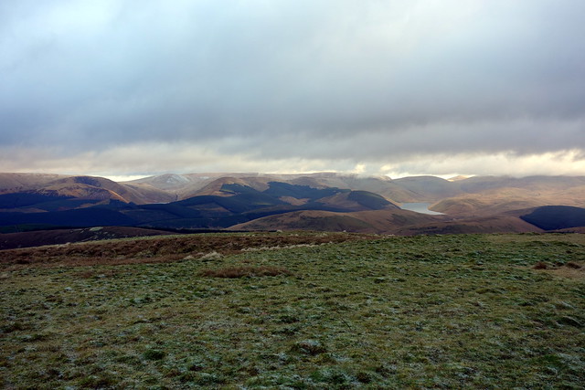
Towards the Talla Linnfoots
 DSC02404
 by
Al, on Flickr
 DSC02406
 by
Al, on Flickr
 DSC02407
 by
Al, on Flickr
Jagged edge
 DSC02408
 by
Al, on Flickr
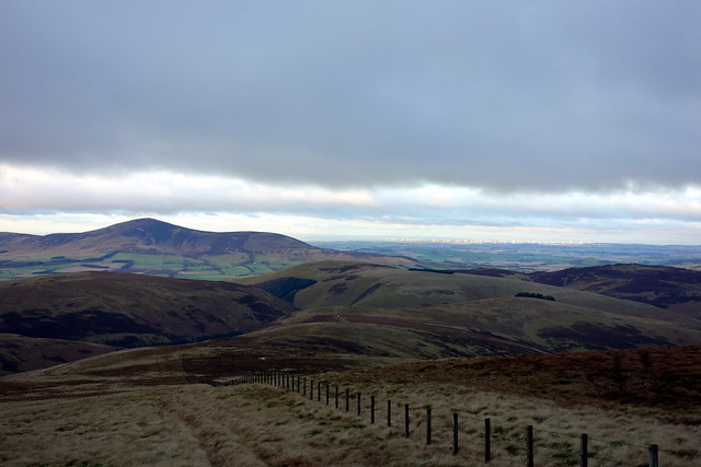
Tinto from Huddlestone
 DSC02410
 by
Al, on Flickr
 DSC02412
 by
Al, on Flickr
So a good amount of hills done over these three days, Allison's Graham defecit reduced to only 6.
