free to be able to rate and comment on reports (as well as access 1:25000 mapping).
Map: OS 1:50,000 nos 73 & 79
Attendees: Me, Big Dog, Small Dog
Time: 3hr 30 mins
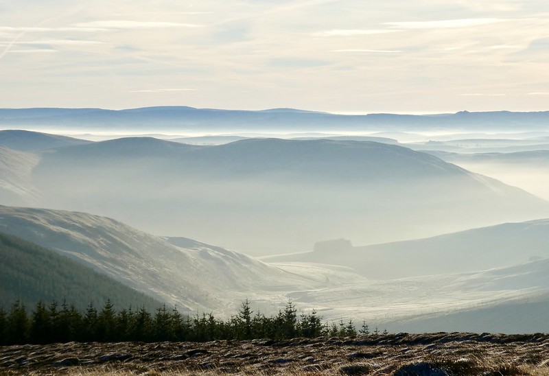
The initial plan was to go north today. Somehow I ended up in the Southern Uplands instead. (Actually that ‘somehow’ was poor planning.) In any event, the result was no disappointment. These are three decent Subs, I had the place to myself and watching the mist burn off the Ettrick hills and glens was a treat.
My first target was The Wiss. I parked up in a lay-by south of Hartleap on the B709 road. On the drive down from Edinburgh, I’d run into thick fog several times and had concerns about whether or not I’d see anything further south. These proved to be unfounded - most of the hill was already clear and the winter bracken coloured copper in the sunlight.
I noticed a faint ATV track in the field on the opposite side of the road. It ran downhill to the northwest, passing through three gates before ending at a marshy area between two streams. I followed the north bank of the second stream as it headed west-northwest up the lower slopes of Moory Hass. A fence line plotted a similar course on the south side of the burn. Eventually the summit crest of The Wiss came into view.
Ascending Moory Hass - The Wiss in the background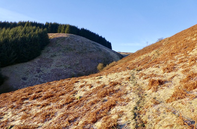 fullsizeoutput_30e1
 by
Neil Mackay, on Flickr
 fullsizeoutput_30e2
 by
Neil Mackay, on Flickr
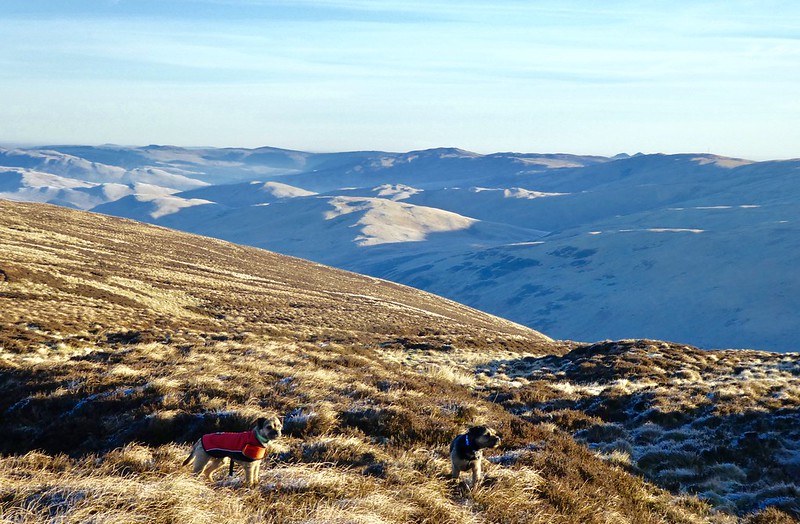
The most direct route to the trig point would be to continue parallel to the fence line. However much of the ground here was in the shadow of forestry and I was keen to keep in the warmth of the sunlight where I could. I diverted north to the top of Moory Hass and followed a second fence line round to the summit. A small herd of deer ran off on our approach.
Views to the south - the hills looked like they were breathing 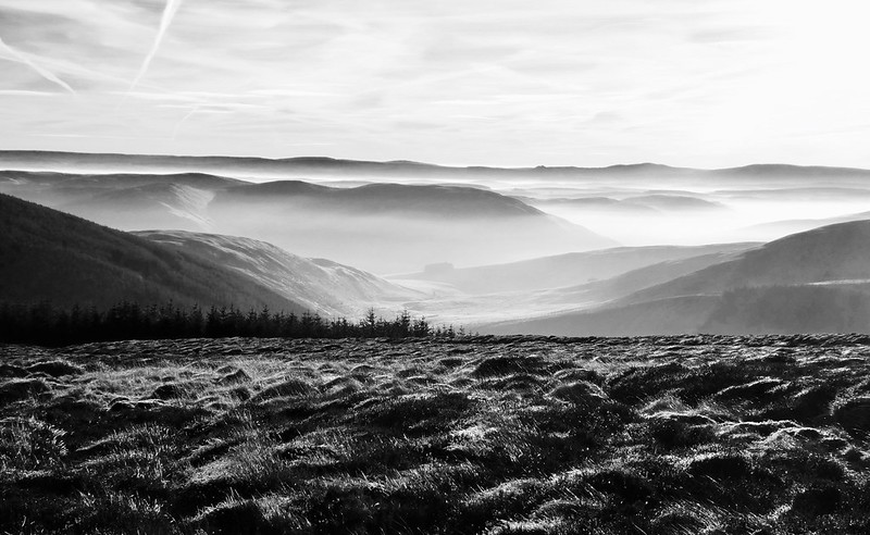 fullsizeoutput_30da
 by
Neil Mackay, on Flickr
 fullsizeoutput_30c4
 by
Neil Mackay, on Flickr
Trig point on The Wiss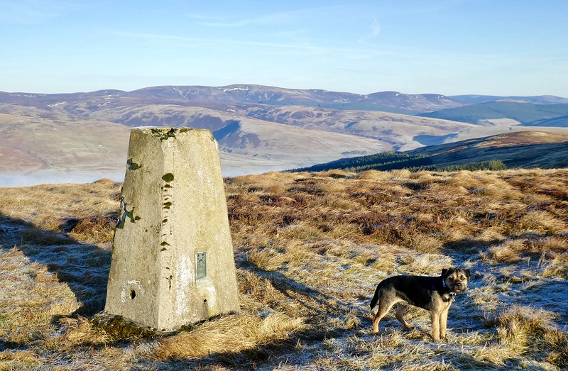 fullsizeoutput_30b6
 by
Neil Mackay, on Flickr
Frozen bracken on the sun/shadow line on descent fullsizeoutput_30bc
 by
Neil Mackay, on Flickr
I returned to the road pretty much as per the outward route. A quick coffee stop at the car, and then it was a short, steep pull to the top of Turner Cleuch Law on the east side of the road. I followed the edge of another plantation and its enclosing fence most of the way.
The climb eases at a large cairn half way up the hill. The summit is unmarked but again offered good views.
The unmarked summit of Turner Cleuch Law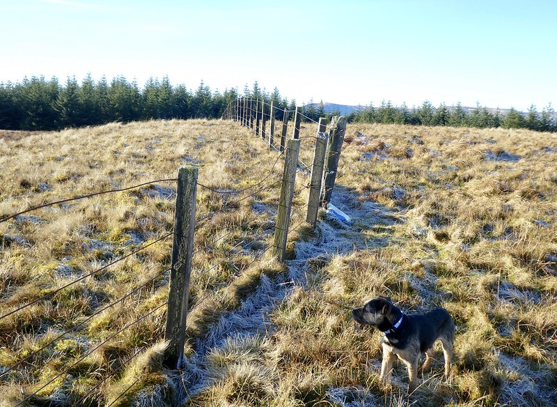 fullsizeoutput_30e4
 by
Neil Mackay, on Flickr
View north from top of Turner Cleuch Law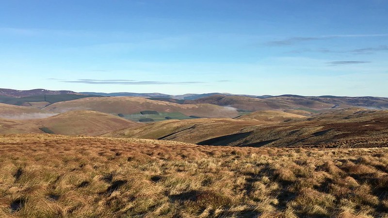 IMG_1789
 by
Neil Mackay, on Flickr
Midway between the aforemnetioned cairn and the summit, there is a good sized firebreak in the plantation. Internet checks beforehand suggested this offered a western descent back to the road at new forestry works at Berrybush. (Or at least new compared to my edition of the OS map.) As it was, the ground looked rough so I decided to to retrace my steps down the steep slope.
I was keen to tackle Cacra Hill by as direct a route as possible. An ascent from the south seemed to offer this and the drive to the farm at Cacrabank on the B711 took 10 minutes. A few hundred yards further on, there was ample parking on wide roadside verges.
A path going northwest up the south slope was visible. I was hopeful this would zig-zag to higher ground however it petered out almost as soon as it began. I took a direct route up the steep slope to the lowest point of the ridge line. It was then a short walk over -or around- several grassy bumps to the summit. The top is is marked by two or three stones in the ground. The dogs looked looked unimpressed. Was I at the top? I verified it by checking my ‘phone for a grid reference. Visibility was now crystal clear and it was an opportune place for a lunch stop.
From there, it was 20 minutes back down to the car.
Struggling for parking space near Cacrabank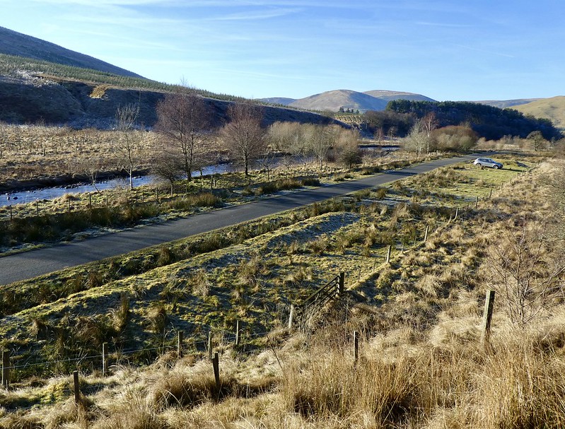 fullsizeoutput_30e9
 by
Neil Mackay, on Flickr
Summit cairn at Cacra Hill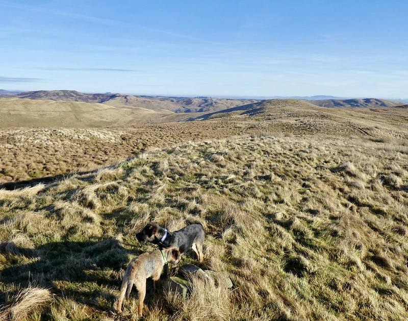 fullsizeoutput_30ea
 by
Neil Mackay, on Flickr
Final look back at Cacra from the car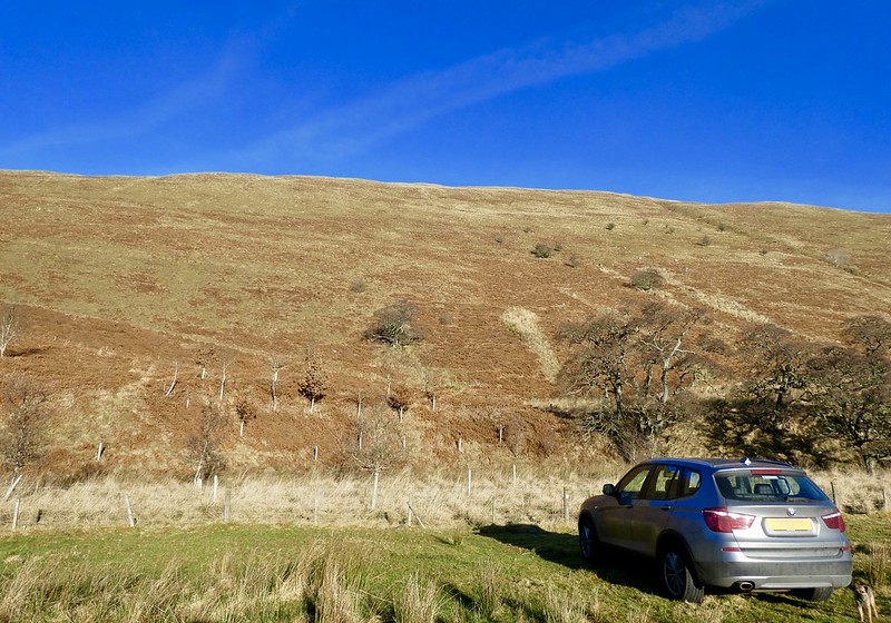 fullsizeoutput_30e8
 by
Neil Mackay, on Flickr
