
Weather frustrations in Torridon
Sub 2k Marilyns: An Staonach, Ben Shieldaig.
Date: 29/01/2017.
Distance: 16km.
Ascent: 1100m.
Time: 6 hours, 15 minutes.
Weather:
A decent forecast on Sunday had me heading for Beinn Damh. I'm quite picky with the weather when I head out west, so it was a bit annoying to drive through a beautiful morning to low cloud from Kinlochewe onwards. There were shafts of sunshine poking through, so I set my sights on the lower (but no less worthy) Ben Shieldaig. Always thought I would use the train and bike to get to this via Strathcarron, but I could never seem to get the timings to add up in a satisfactory way.
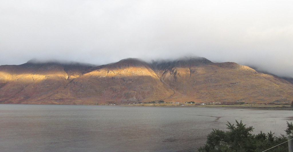
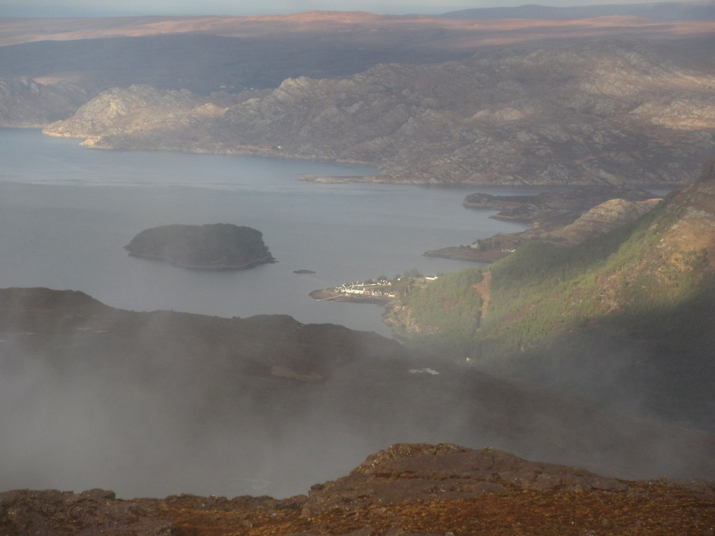
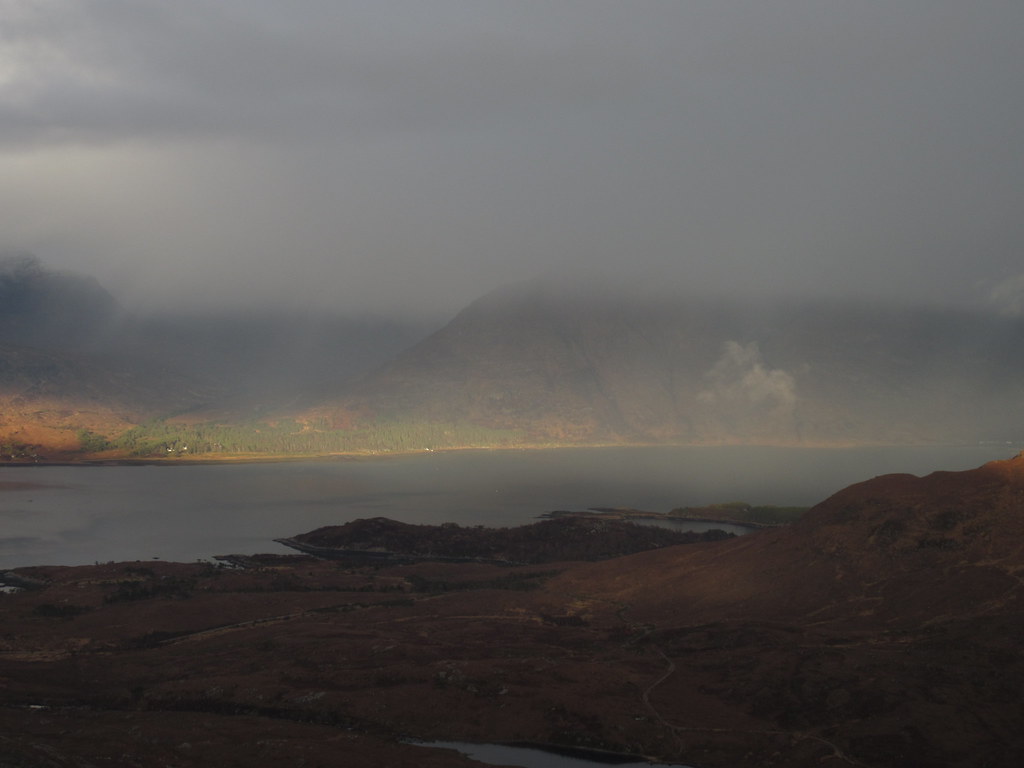
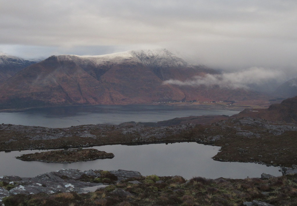
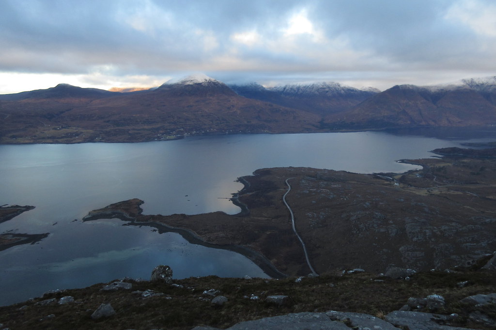
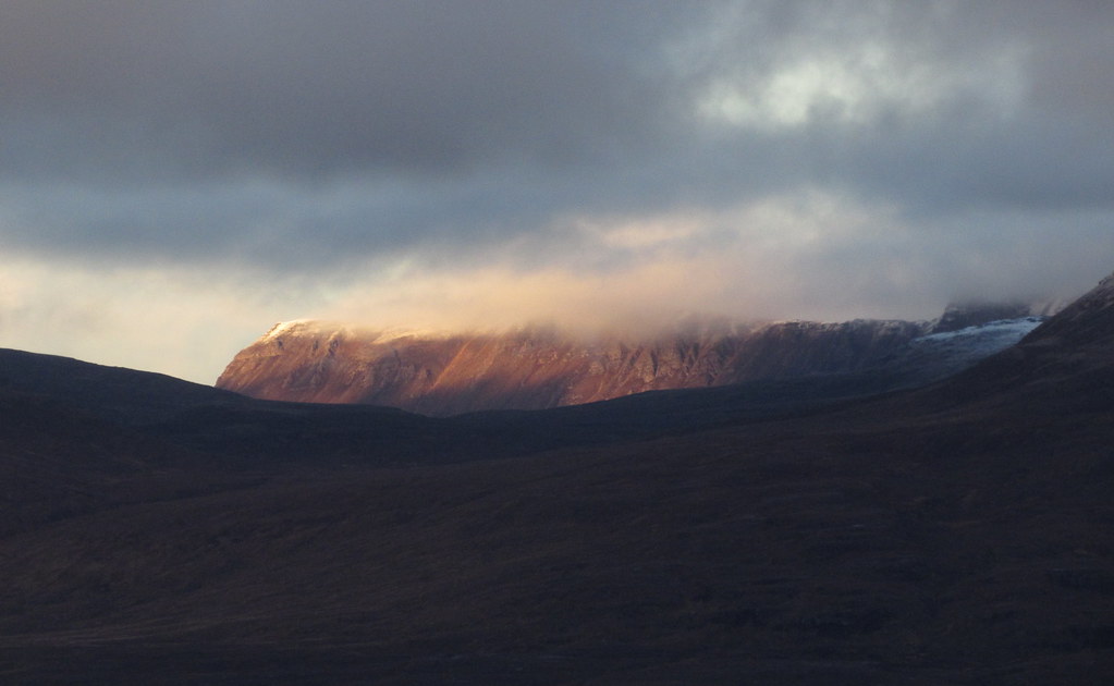
Liathach across Loch Torridon:
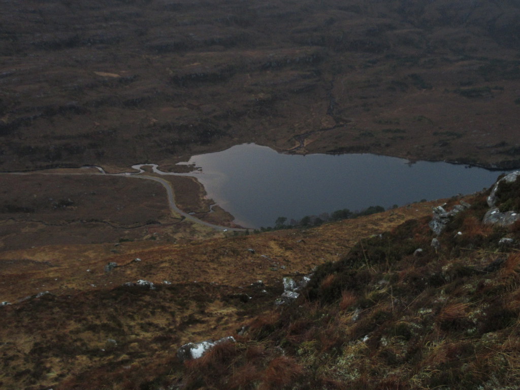
So it seemed like a good idea to combine Ben Shieldaig and An Staonach today - while less immediately appealing than Beinn Shieldaig, An Staonach is well located for looking at the eastern corries of Beinn Bhan. I hoped the cloud would lift and parked up next to Loch Dughaill. I walked up the road for 15 minutes first, then headed cross-country for An Staonach. Newer maps show a track over this hillside to Loch Lundie, but it wasn't on my map and I couldn't see any sign of it.
After crossing some heather, I found the track - the OS are going a bit overboard showing this as a vehicle track - it's more of a faintly worn quad bike trail over the heather. Near the high point, I left the track/path for the northern slopes of An Staonach.
Heading up An Staonach:
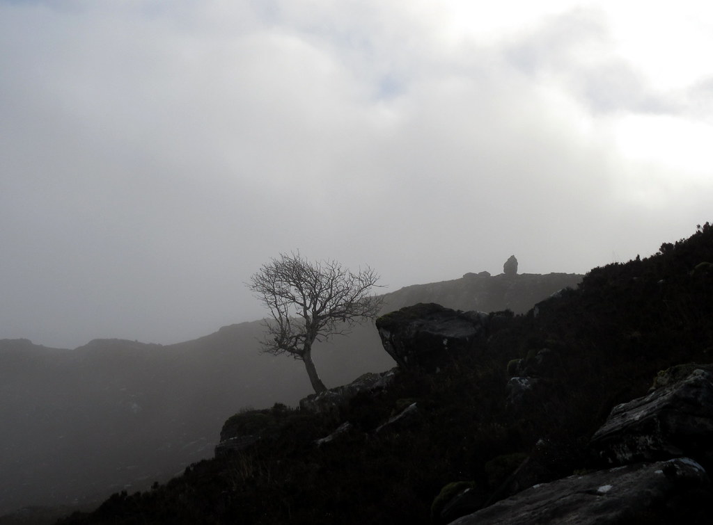
The cloud was coming and going but it was mostly clinging onto the hills quite stubbornly. Thankfully the hillside made for nice walking over sandstone pavements with erratically perched boulders to add interest
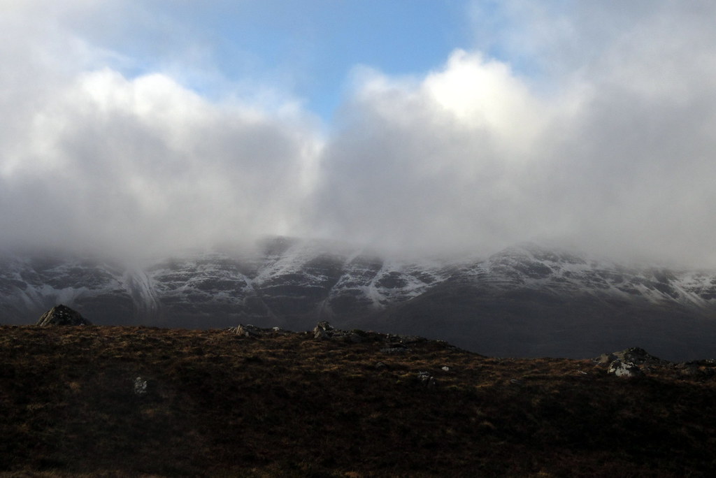
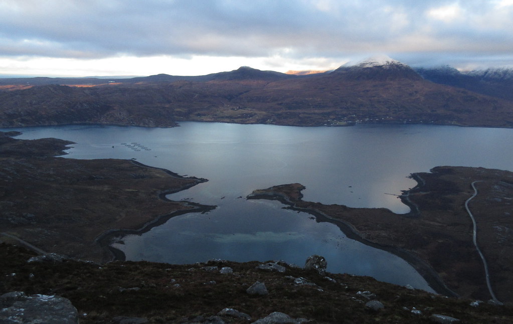
A glimpse of the eastern corries of Beinn Bhan:
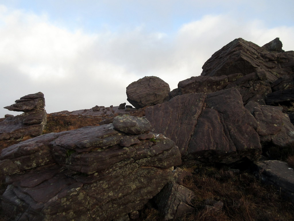
Boulders near the summit of An Staonach:
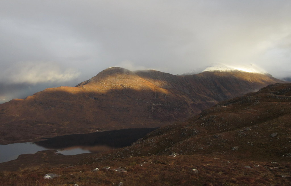
Shieldaig from An Staonach:
I dropped a short way down the eastern face then followed ledges southward - the hillside here is slashed by bands of low crag, and it takes a bit of weaving to get through them. Lower down it began to rain.
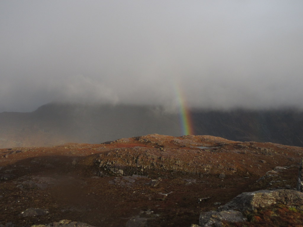
It was a bit miserable and rainy crossing the Lochcarron road, and some of the way up onto Ben Shieldaig past the phone masts. By now I was wondering why I hadn't driven back to some of those nice sunny hills further east. Frustratingly, the weather wasn't that bad, and was clearly nicer further north.
Luckily for me the cloud began clearing on the last 30 minutes to the main summit of Ben Shieldaig, and the sun came out - this was more like it! This was the bit of the walk I was looking forward to most anyway. There was a deer fence with a ladder stile over it on the final col.
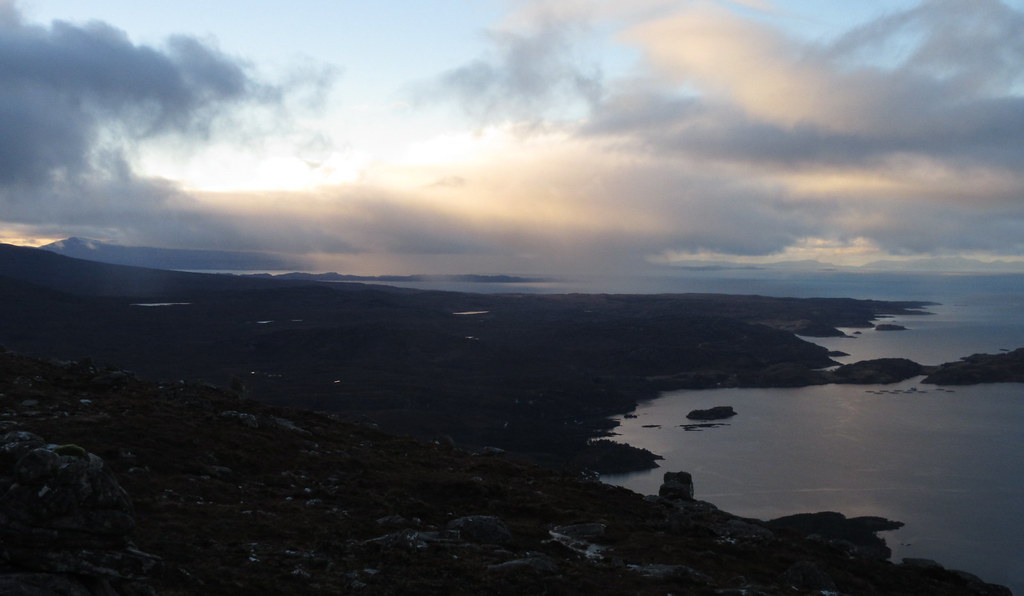
Rain starts to clear on Ben Shieldaig:

That’s more like it!
Summit views were pretty good but the more northwesterly top looked like the place to be. I went on to it and then slightly beyond, until I was looking directly down onto Shieldaig and Loch Torridon. Best weather and views were out over the end of Skye and on towards the Harris hills, but Beinn Damh wasn't looking bad either. Mind you, it was quite late now, and if I'd stuck with Beinn Damh, I'd have been on my way down it before the clag had cleared.
Alligin and western end of Beinn Alligin:
Coire Mhic Nhobuill:
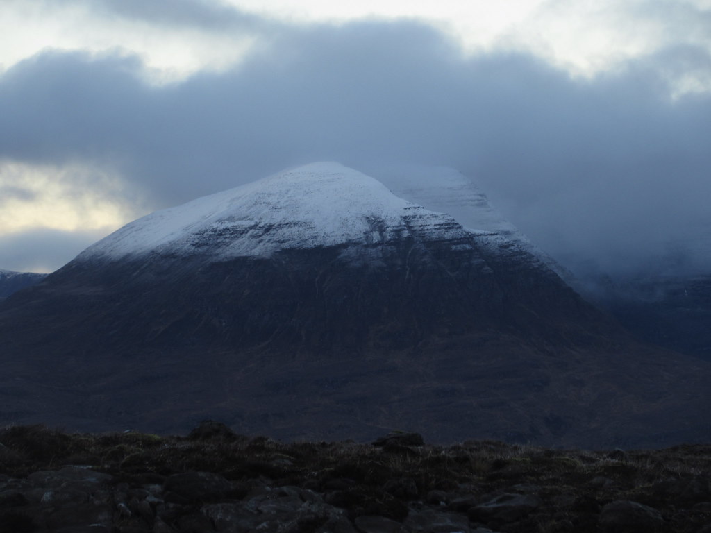
Beinn Damh:
Liathach:
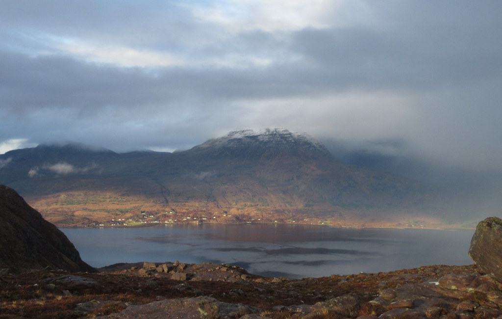
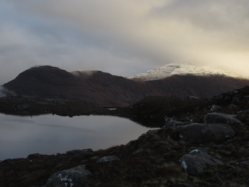
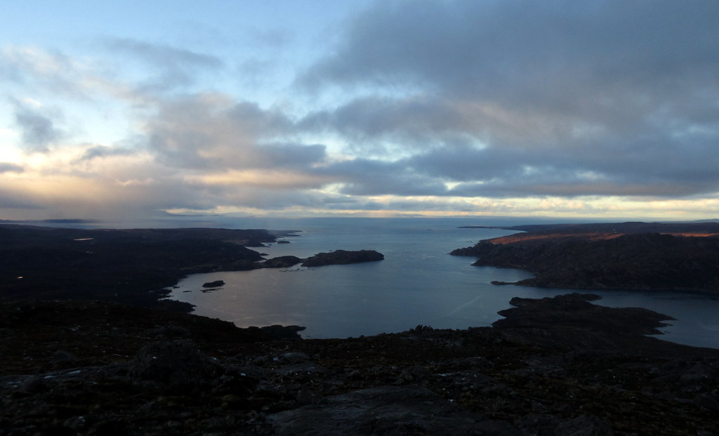
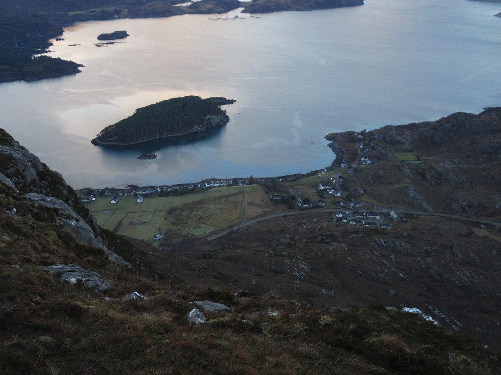
Loch Torridon:
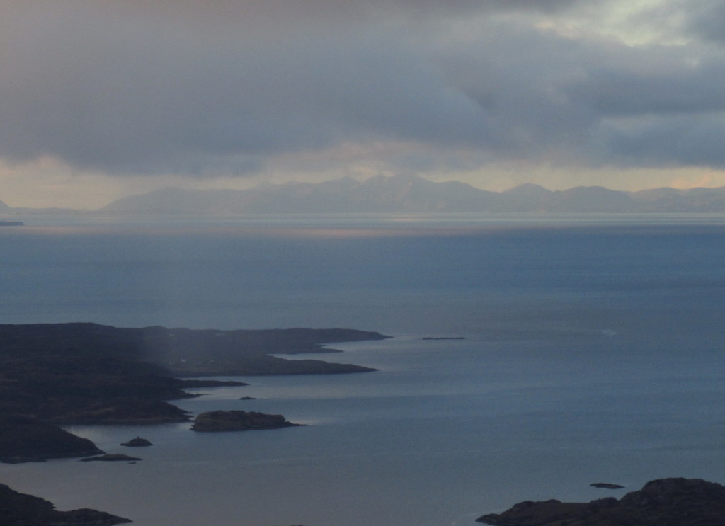
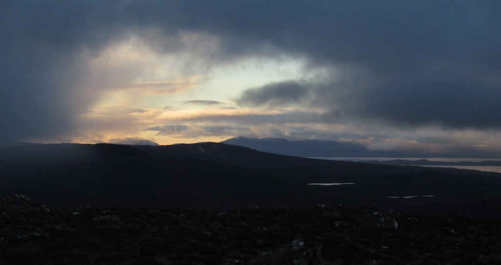
With the North Harris hills in the distance:
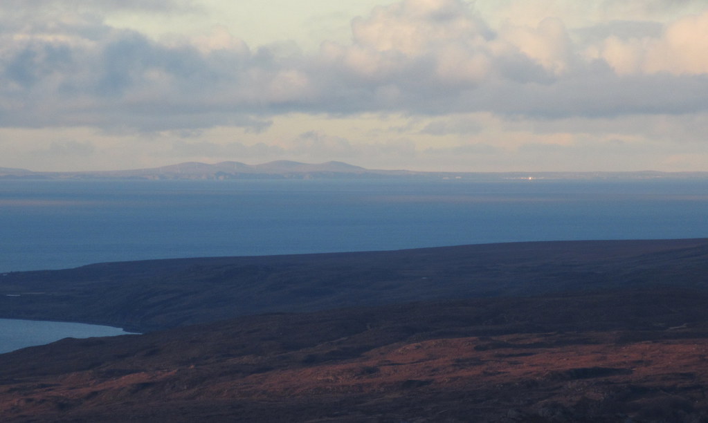
Rona:
Loch Torridon:
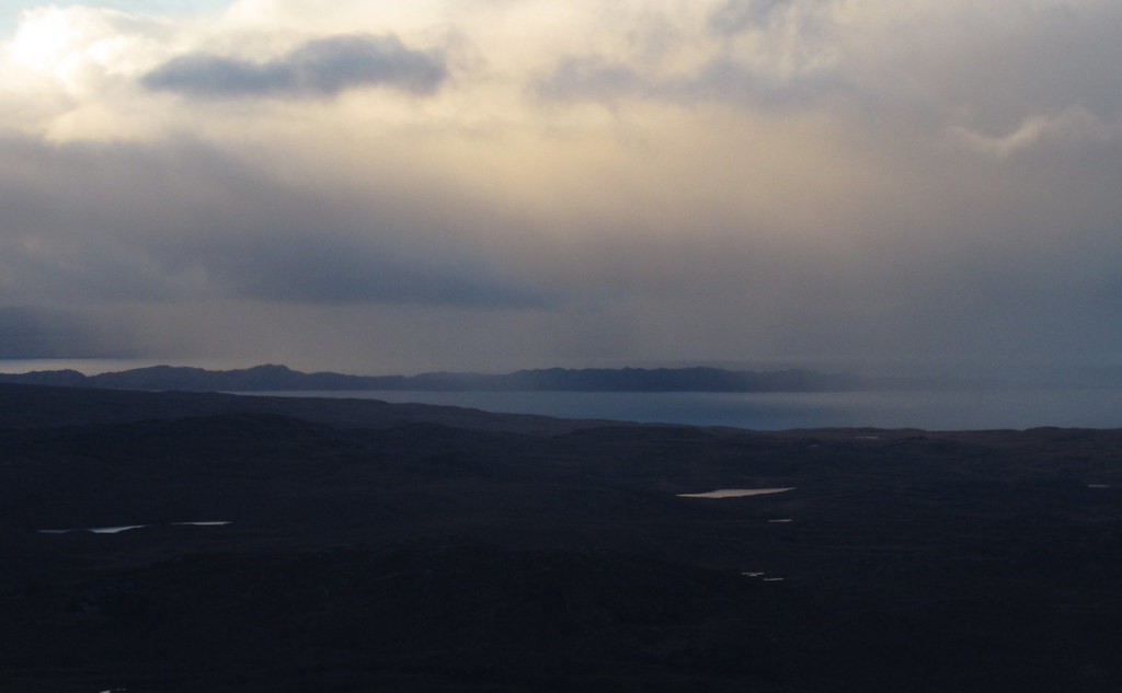
Beinn Mholach and Stornoway in the distance:
After another break, I headed back over the main summit to the col with the deer fence. Instead of crossing the fence, I started dropping steeply back down to the car. Pretty rough going but quite quick.
Over to to Skye:
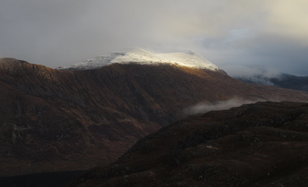
Baosbheinn catches some light:
Shieldaig from near the top:
Skye again:
Tom na Gruagaich:
Dropping down to the car:
Not a bad day out in the end - a decent half day, although I might have been better starting later and just going straight up Ben Shieldaig.
Date: 29/01/2017.
Distance: 16km.
Ascent: 1100m.
Time: 6 hours, 15 minutes.
Weather:
A decent forecast on Sunday had me heading for Beinn Damh. I'm quite picky with the weather when I head out west, so it was a bit annoying to drive through a beautiful morning to low cloud from Kinlochewe onwards. There were shafts of sunshine poking through, so I set my sights on the lower (but no less worthy) Ben Shieldaig. Always thought I would use the train and bike to get to this via Strathcarron, but I could never seem to get the timings to add up in a satisfactory way.
Liathach across Loch Torridon:
So it seemed like a good idea to combine Ben Shieldaig and An Staonach today - while less immediately appealing than Beinn Shieldaig, An Staonach is well located for looking at the eastern corries of Beinn Bhan. I hoped the cloud would lift and parked up next to Loch Dughaill. I walked up the road for 15 minutes first, then headed cross-country for An Staonach. Newer maps show a track over this hillside to Loch Lundie, but it wasn't on my map and I couldn't see any sign of it.
After crossing some heather, I found the track - the OS are going a bit overboard showing this as a vehicle track - it's more of a faintly worn quad bike trail over the heather. Near the high point, I left the track/path for the northern slopes of An Staonach.
Heading up An Staonach:
The cloud was coming and going but it was mostly clinging onto the hills quite stubbornly. Thankfully the hillside made for nice walking over sandstone pavements with erratically perched boulders to add interest
A glimpse of the eastern corries of Beinn Bhan:
Boulders near the summit of An Staonach:
Shieldaig from An Staonach:
I dropped a short way down the eastern face then followed ledges southward - the hillside here is slashed by bands of low crag, and it takes a bit of weaving to get through them. Lower down it began to rain.
It was a bit miserable and rainy crossing the Lochcarron road, and some of the way up onto Ben Shieldaig past the phone masts. By now I was wondering why I hadn't driven back to some of those nice sunny hills further east. Frustratingly, the weather wasn't that bad, and was clearly nicer further north.
Luckily for me the cloud began clearing on the last 30 minutes to the main summit of Ben Shieldaig, and the sun came out - this was more like it! This was the bit of the walk I was looking forward to most anyway. There was a deer fence with a ladder stile over it on the final col.
Rain starts to clear on Ben Shieldaig:
That’s more like it!
Summit views were pretty good but the more northwesterly top looked like the place to be. I went on to it and then slightly beyond, until I was looking directly down onto Shieldaig and Loch Torridon. Best weather and views were out over the end of Skye and on towards the Harris hills, but Beinn Damh wasn't looking bad either. Mind you, it was quite late now, and if I'd stuck with Beinn Damh, I'd have been on my way down it before the clag had cleared.
Alligin and western end of Beinn Alligin:
Coire Mhic Nhobuill:
Beinn Damh:
Liathach:
Loch Torridon:
With the North Harris hills in the distance:
Rona:
Loch Torridon:
Beinn Mholach and Stornoway in the distance:
After another break, I headed back over the main summit to the col with the deer fence. Instead of crossing the fence, I started dropping steeply back down to the car. Pretty rough going but quite quick.
Over to to Skye:
Baosbheinn catches some light:
Shieldaig from near the top:
Skye again:
Tom na Gruagaich:
Dropping down to the car:
Not a bad day out in the end - a decent half day, although I might have been better starting later and just going straight up Ben Shieldaig.