free to be able to rate and comment on reports (as well as access 1:25000 mapping).
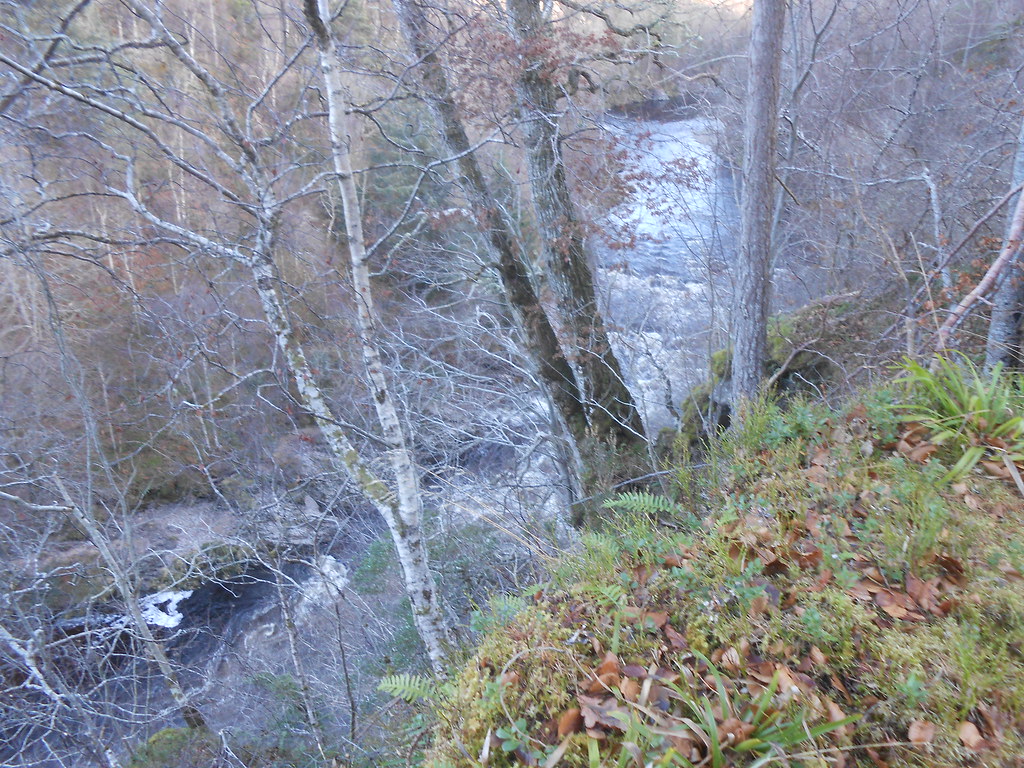
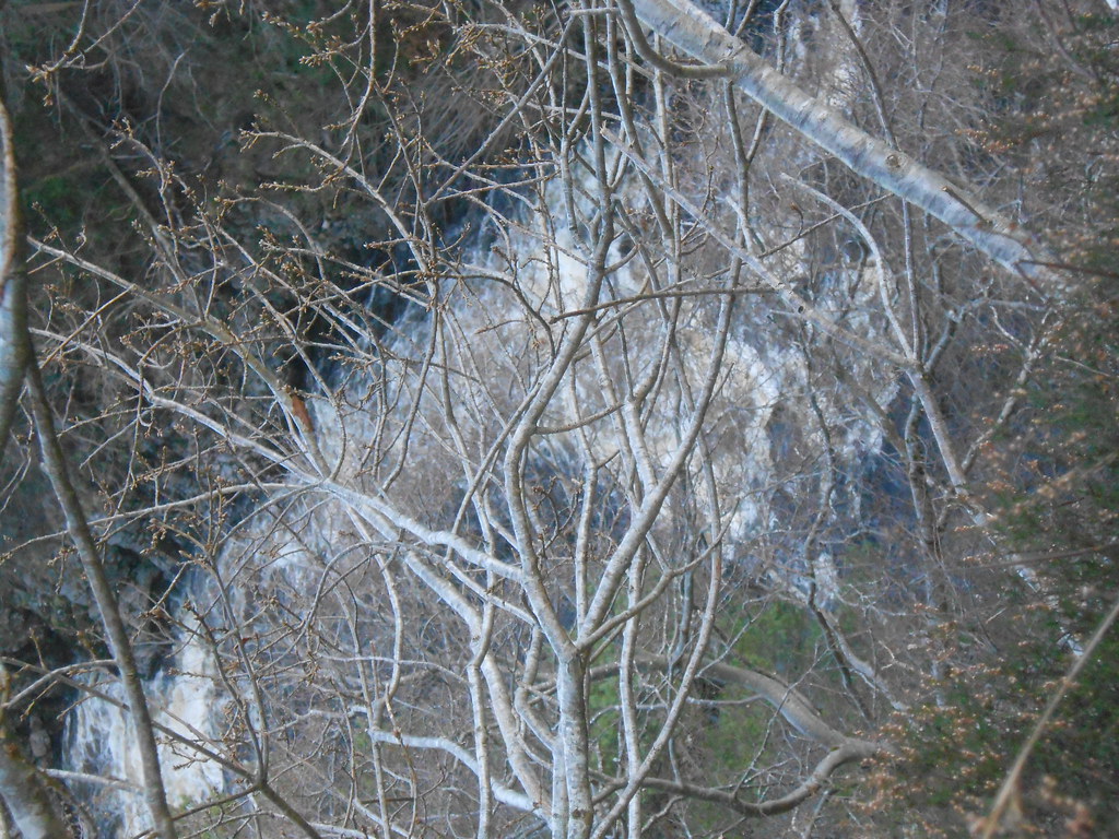
What an exciting walk! Starts off gently enough but soon turns into a narrow, slippery path frequently clinging to the edge of variously steep, vertical and overhanging crags above a white water Findhorn. Difficult to photograph due to the vegetation but occasionally enough of a view opens up to get a picture or two.
 DSCN0186
 by
John Little, on Flickr
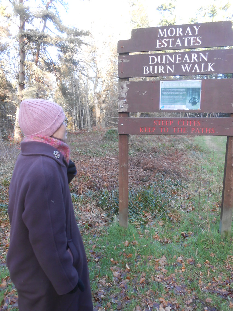
A clear warning that steep cliffs should keep to the paths.
 DSCN0188
 by
John Little, on Flickr
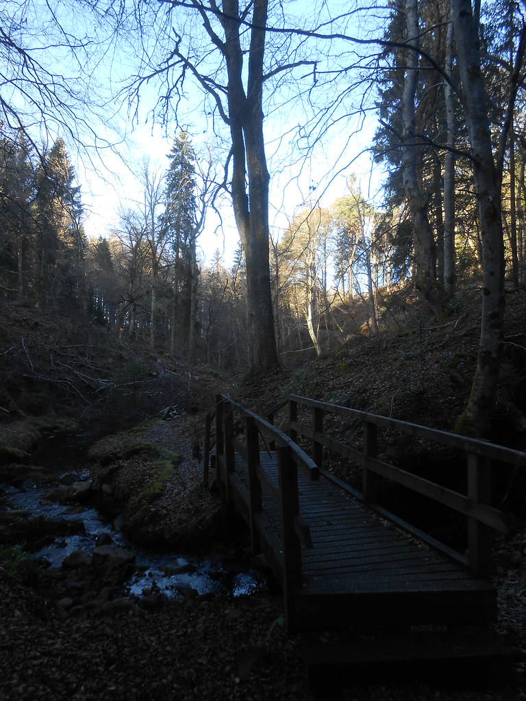
But a gentle start.
 DSCN0194
 by
John Little, on Flickr
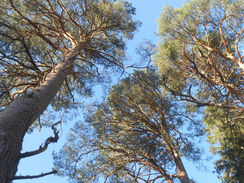
Nice trees.
 DSCN0195
 by
John Little, on Flickr
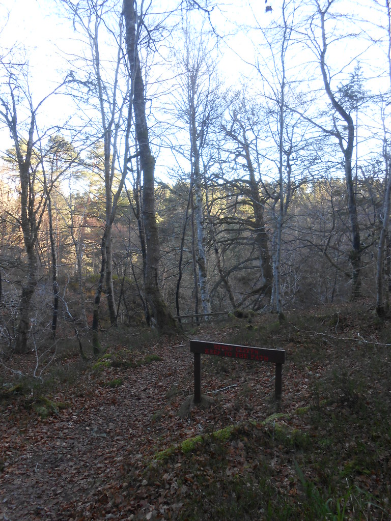
Another warning.
 DSCN0197
 by
John Little, on Flickr
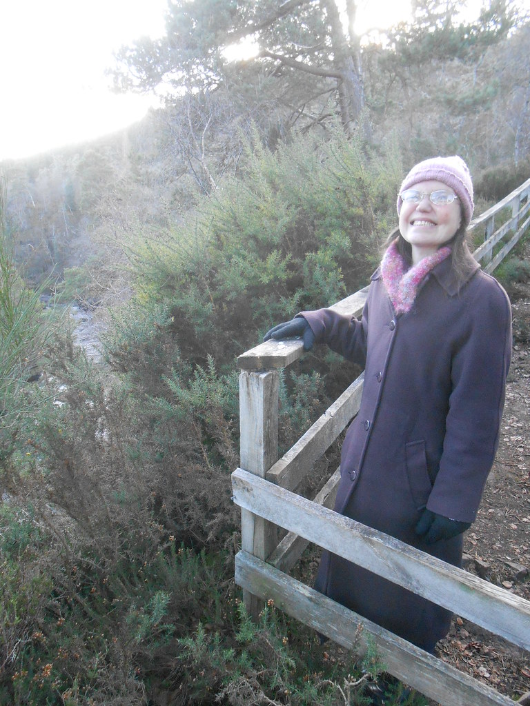
Some viewpoints are fenced off a bit.
 DSCN0206
 by
John Little, on Flickr
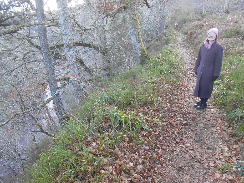
Starting to skirt the edge of a steep drop.
 DSCN0228
 by
John Little, on Flickr
 DSCN0221
 by
John Little, on Flickr
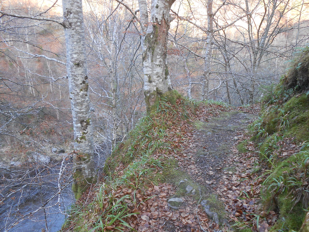
 DSCN0211
 by
John Little, on Flickr
Getting steeper!
 DSCN0212
 by
John Little, on Flickr
 DSCN0264
 by
John Little, on Flickr
