free to be able to rate and comment on reports (as well as access 1:25000 mapping).
Bumps: Dun Deardail.
Date: 11/03/2017.
Distance: 1km.
Ascent: 175m.
Time: 45 minutes.
Weather: Sunny and spring-like.
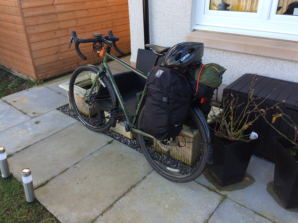
A really short walk, but still more than I had intended. I was really just going out for a bike ride - specifically a dry run for some multi-day cycling/bothying/camping trips I have in mind. I haven't done any of this sort of thing for years, but with a decent new touring bike bought at the start of January, it's time to get back into it.
As a teenager, I have fond memories of my overloaded pannier rack collapsing on a moorland track at the west end of the Claerwen Reservoir in Mid Wales (about as remote as it's possible to get in Wales) and all my stuff slumping onto the ground, the day only being saved by a dog-eared end of rope I found on the ground. Somehow this held everything onto the bike for the 3 day trek back up to Anglesey. Great fun and all, but I thought this time I'd try packing up my bike with my camping gear and going for a short day ride just to find out which bolts I hadn't tightened properly.
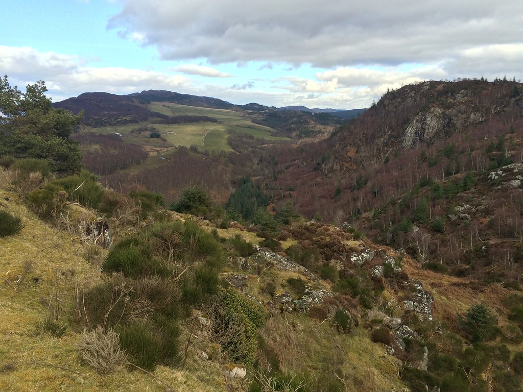
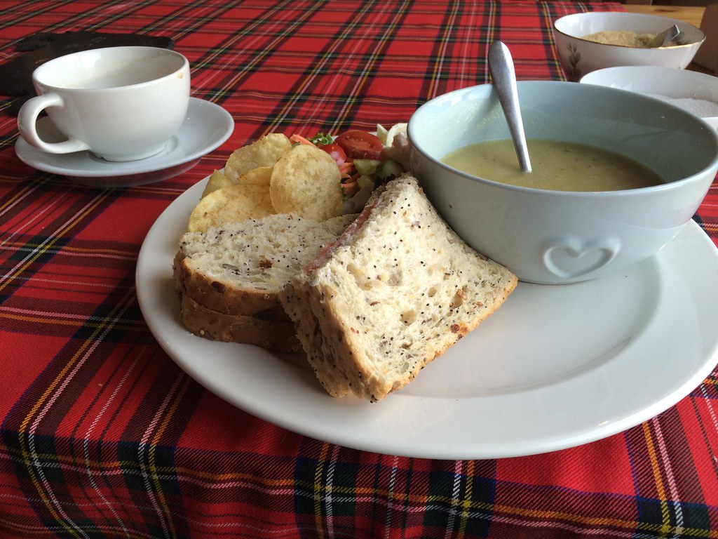
I headed off for a 45 mile circuit of Dores, Foyers and Errogie early afternoon, and the sun was shining and it felt like spring. Not an unusual occurrence this winter, but the light also felt much stronger than it does in the middle of winter, which was nice. I was aiming for Camerons Tea Room in Foyers for a late lunch, but the going was so pleasant that I decided to stop off and go up Dun Deardail on the way. I've been meaning to do this for a couple of years now as it looks so impressive, particularly when approached by the minor road from Torness (the 'corkscrew road'). It has been well described by
Sunset Tripper before, but as I hadn't really planned this, I hadn't swotted up on the best route to take.
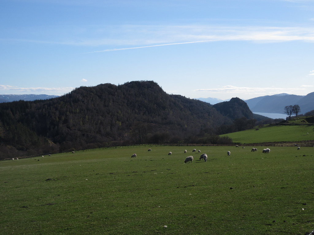
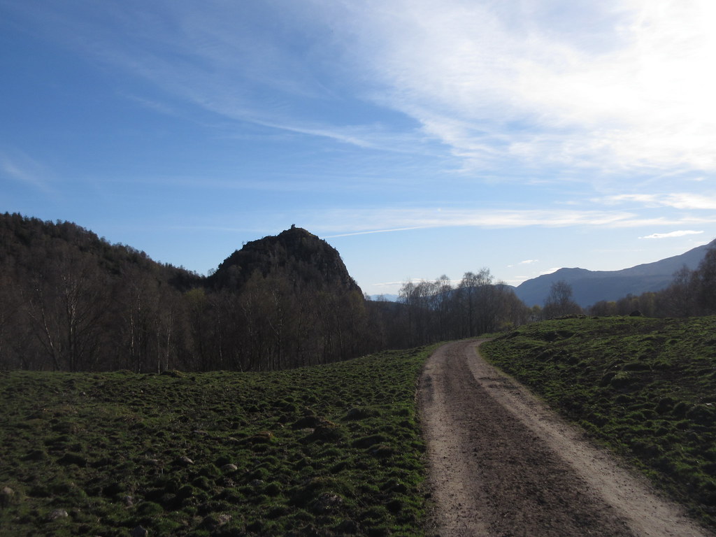
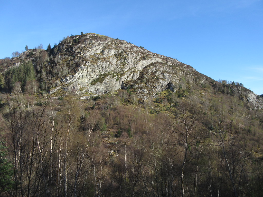
3 photos of Dun Deardail from a previous bike ride down the corkscrew road to Inverfarigaig (it's the lower hill on the right in the first photo):
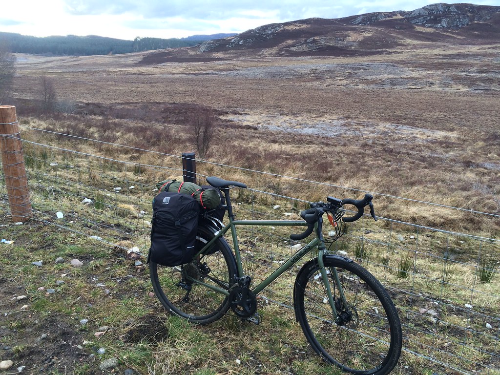
Bike loaded up:
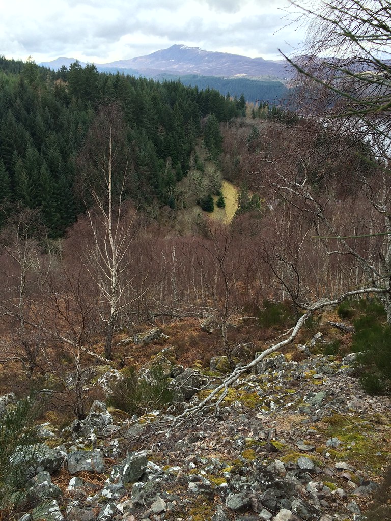
I decided to start just up the road from the Forestry Commission car park at Fasnagruig, where I made an awkward slithery descent to the Allt Chearc, crossing it on slippery fallen trees. Fortunately, while it was running quite high, it was nowhere near as big as the River Farigaig itself, which was probably uncrossable today. A similar ascent of the other bank led to easier slopes, although they would be well covered in bracken later in the year.
Dun Deardail from the start of the walk:
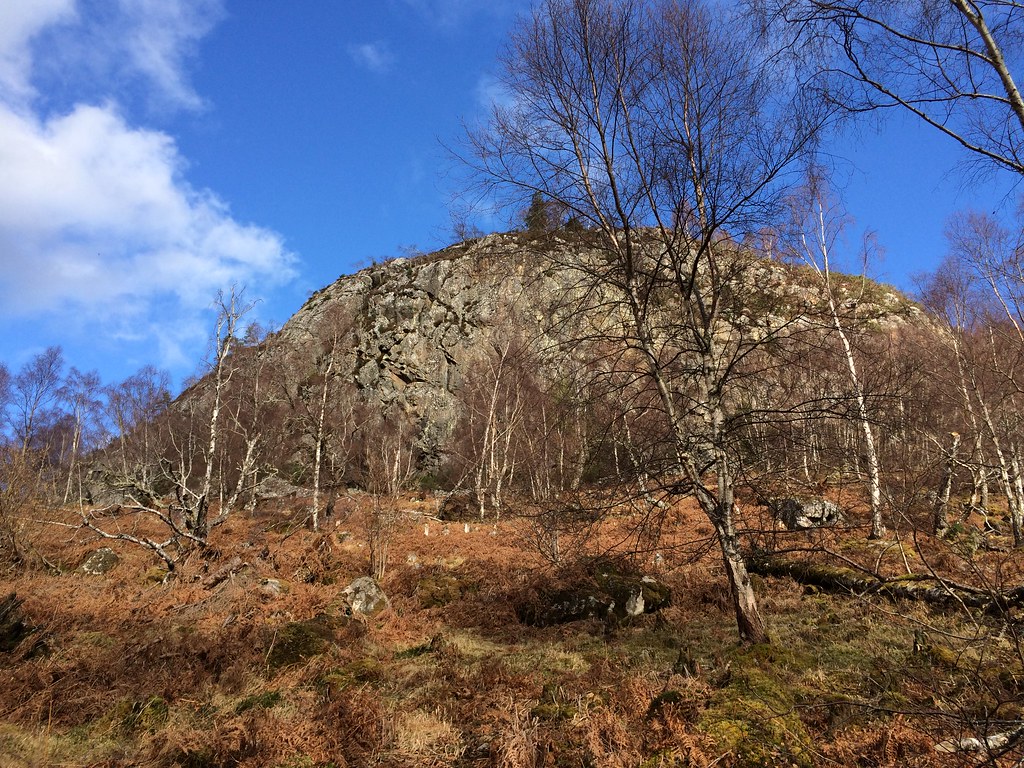
Dun Deardail rises up ahead - there is clearly no direct route up here which does't involve climbing, so you have to pick a side to divert around.
Need to find a way round these crags:
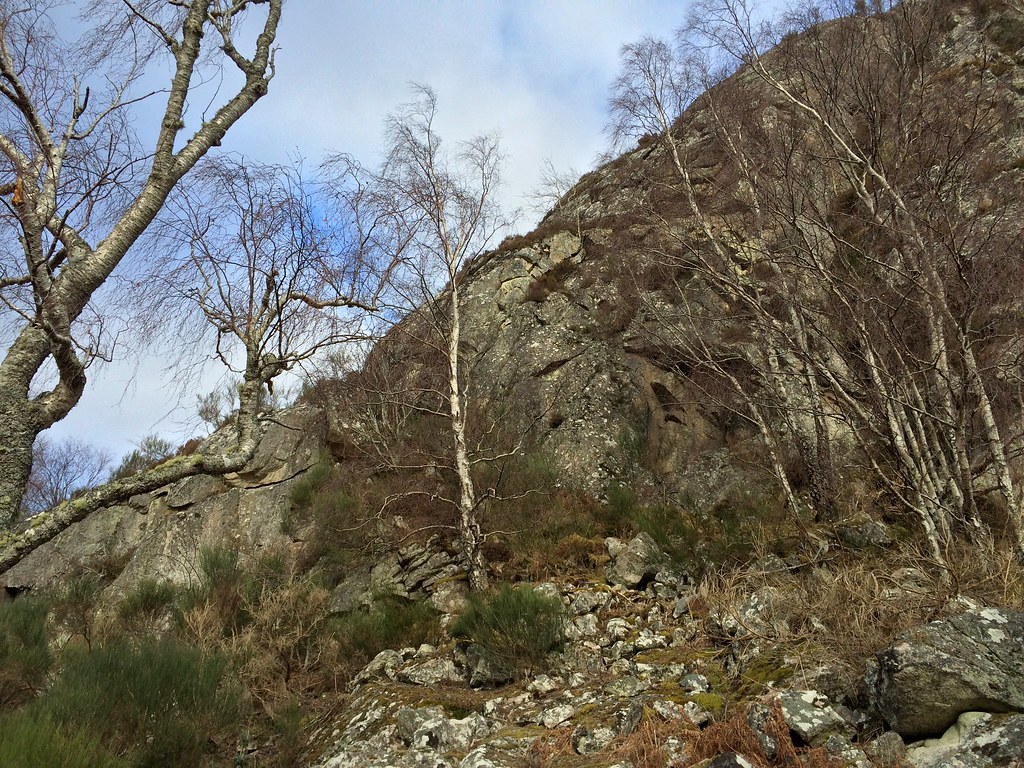
I chose to go west and north, and found a shallower depression up between crumbly crags. I had chosen the wrong footwear for this (while they might be called 'approach shoes' in an outdoor catalogue, the only thing they were approaching by now was the bin), and slithered all over the place, the going being like scrambling, only with hardly any rock.
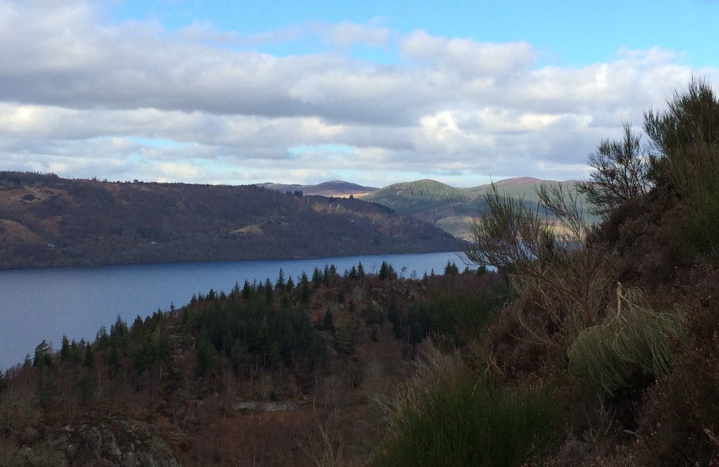
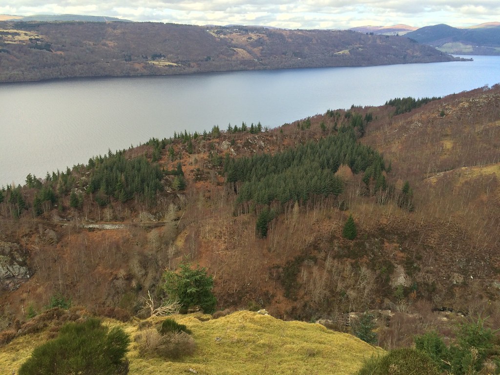
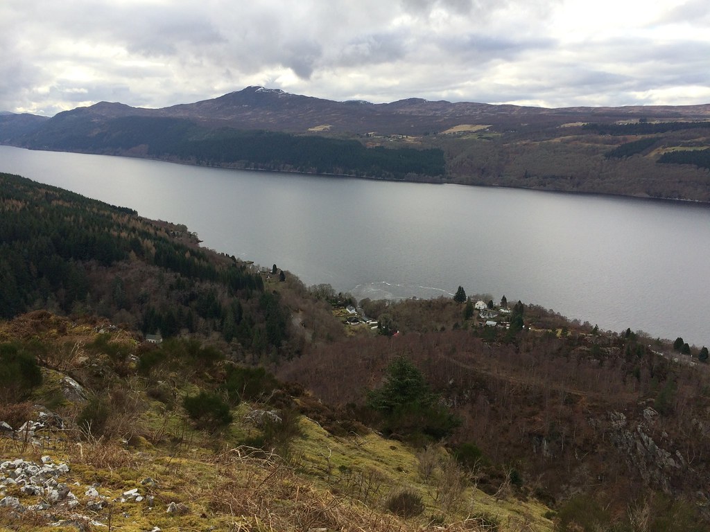
Loch Ness comes into view:
..along with Meall Fuar Mhondaidh
Before too long the angle had eased and it was a straightforward heathery ascent to the top. I hoped I would find a better way down on the other side, as I didn't fancy descending the same route in these shoes!
Looking towards Drumnadrochit:
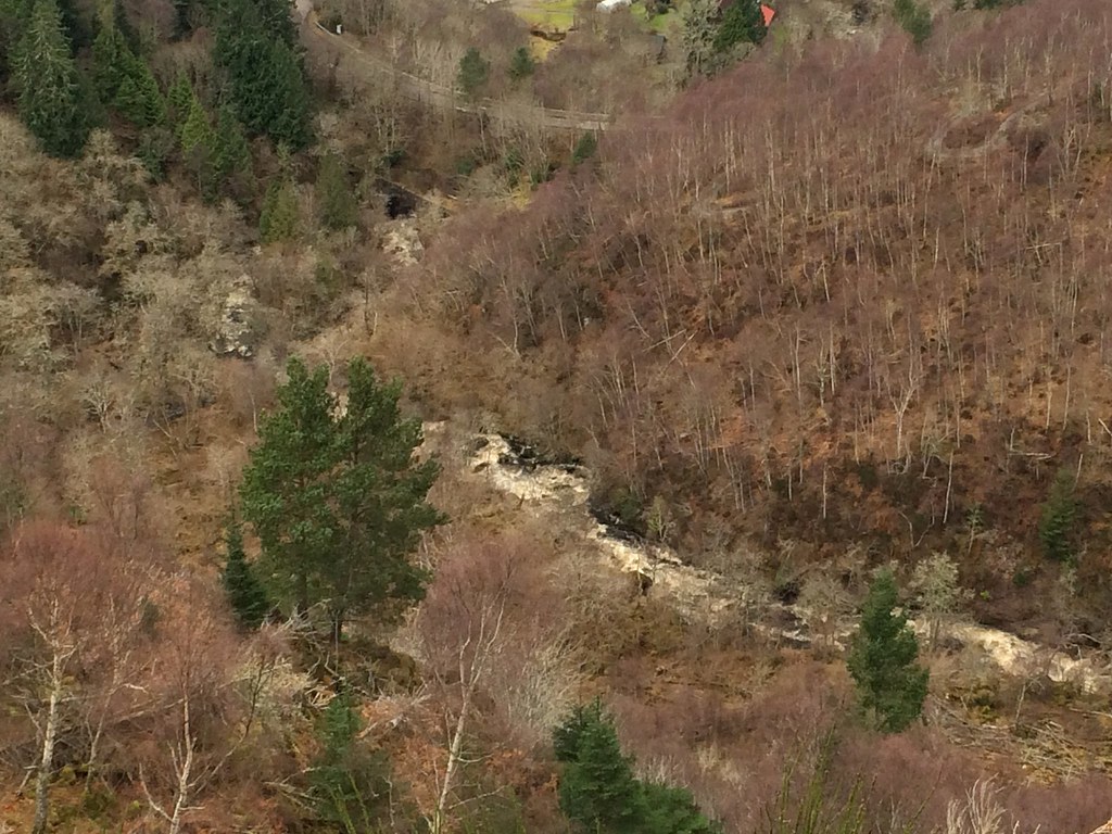
River Farigaig is flowing high today:
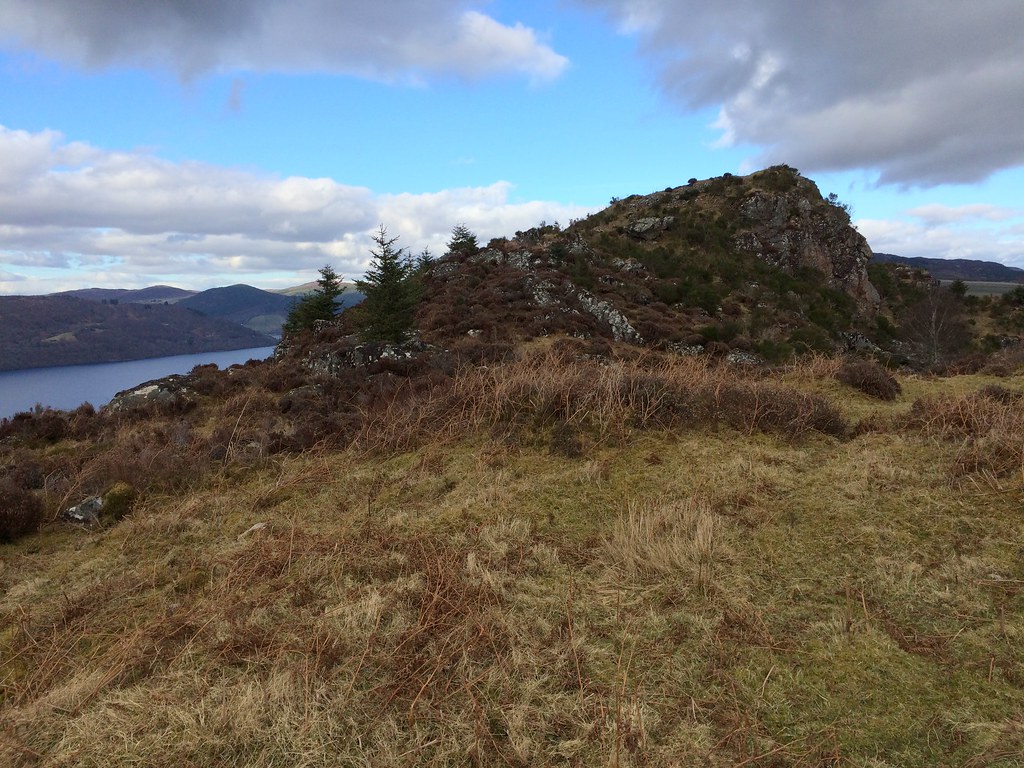
Summit comes into view:
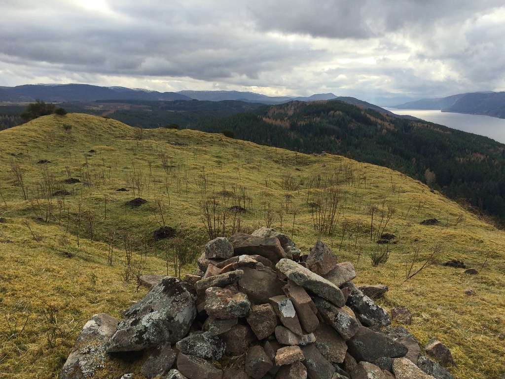
There are some nice short grassy patches in amongst the heather, and the walls of the fort which gives the hill its name are actually evident. You would probably find a nice tent pitch up here - not a bad idea for a summer weeknight sometime.
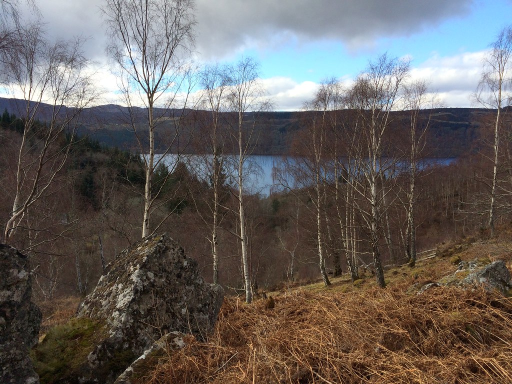
SW down Loch Ness, Meall Fuar Mhonaidh on right:
Tom Bailgeann and Dun Garbh:
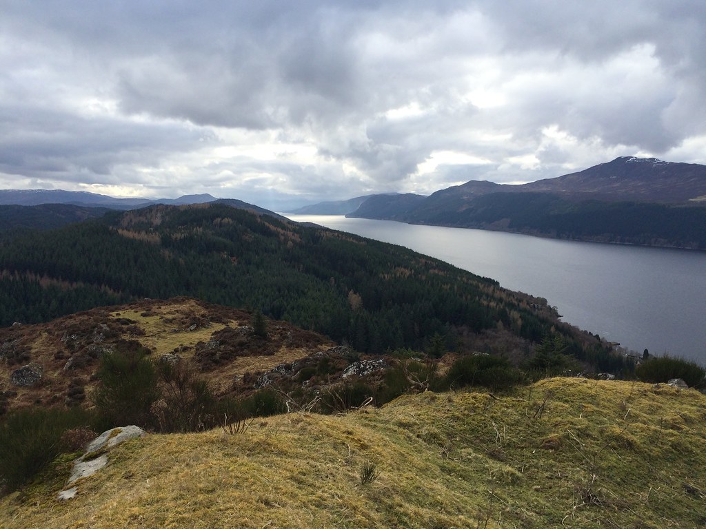
Great views from the summit - it is possibly only second to Creag Dhearg across the loch for being able to see nearly all of Loch Ness.
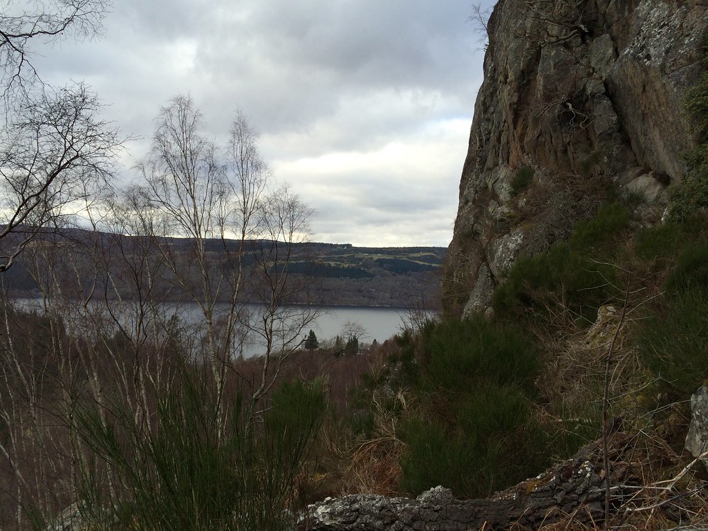
Across to the top of the corkscrew road:
Summit fort:
NE up Loch Ness:
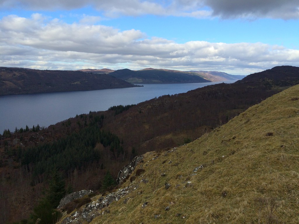
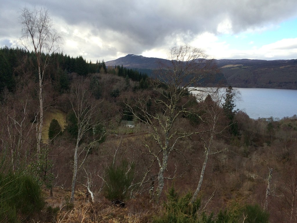
Across Inverfarigaig:
I was able to find the vague scratchings of a path down the south side which made the descent a bit easier. With some more time, I'd have been keen to carry on to the slightly higher Dun Garbh, but this was just making my lunch even later now. The way down was still rough, but not quite as steep and slippery, so that was good. Despite wanting to find a better crossing point over the burn at the bottom, I ended up right back at the same tree trunk that I'd used on the way up.
Meall Fuar Mhonaidh and the way down:
Descending:
I was glad to find my bike in the same place as I'd left it - I had taken a bit of a chance and left it unlocked by the road (and daftly with my wallet and keys in one of the panniers). Fortunately you can generally get away with that sort of thing in this part of the world.
...and so to the most important thing:
Bike seems to be coping fine with this lot. Just my creaky knees that are the issue!
Good ride with an enjoyable diversion - while it isn't what you'd call a pleasant walk, the top of Dun Deardail is well worth making the effort to get to if you are down this side of Loch Ness.
