free to be able to rate and comment on reports (as well as access 1:25000 mapping).
First time out for a couple of weeks and first Donald for a month or so, decided to utilise a family visit to Englandshire with a slight detour on the way home via Dumfries & Galloway. For anyone who has been in D&G it is a part of Scotland that has changed little and is kind of stuck in a time warp - in a nice way

Once again I had looked at all the WR's and noticed that nobody had tackled Millfore the way I was going to attempt. I plotted out the route and uploaded it to my phone and to be honest because of the perfect weather conditions I hardly needed to look at my phone

One thing I kind of forgot in doing my detour was how far off the beaten track the SW is, when I put the satnav on to get me home the forecast was 2hrs 30mins to do the 130miles. When travelling around Scotland unless you are going north to south, apart from the M8 (if you are unlucky enough to have to use that excuse for a motorway) then expect to go round the houses and definitely not in a direct line. I had forgotten how 'bendy' the roads are and as it was a nice day the bikers were out in force throwing their bikes into the corners, I just wish they wouldn't lean over quite so far sometimes from the middle of the road - am sure any bikers on here understand what I mean
Anyway back to Dumfries & Galloway, I set off from Cheshire just before 8.30am and was walking before midday.
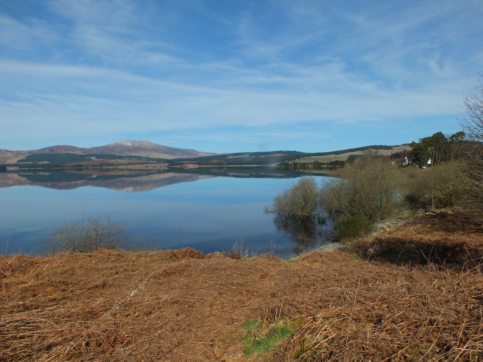
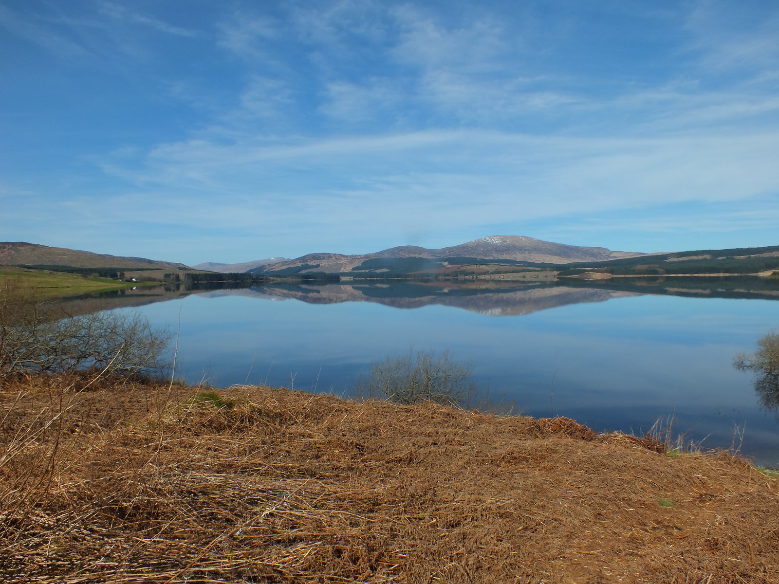
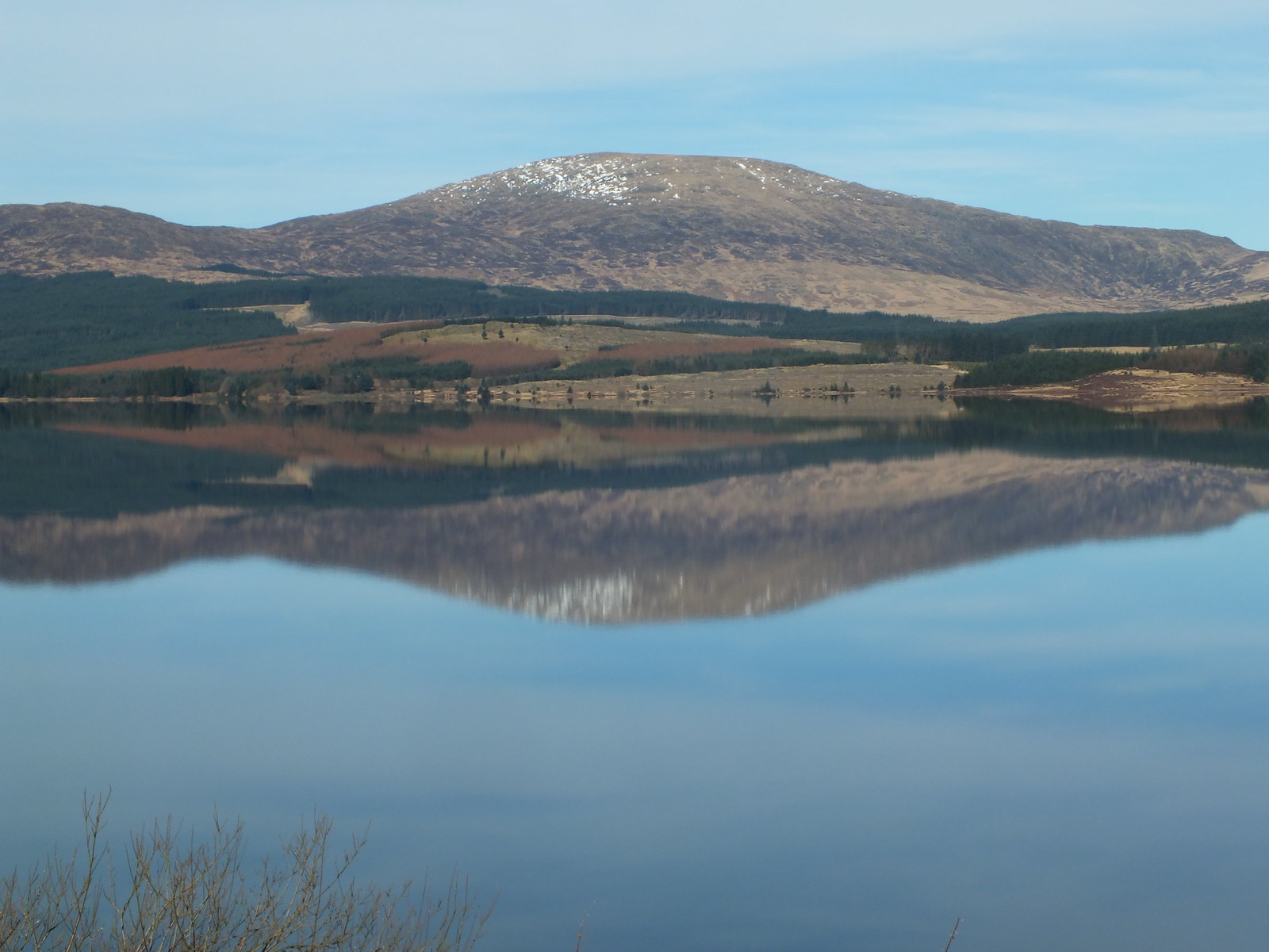
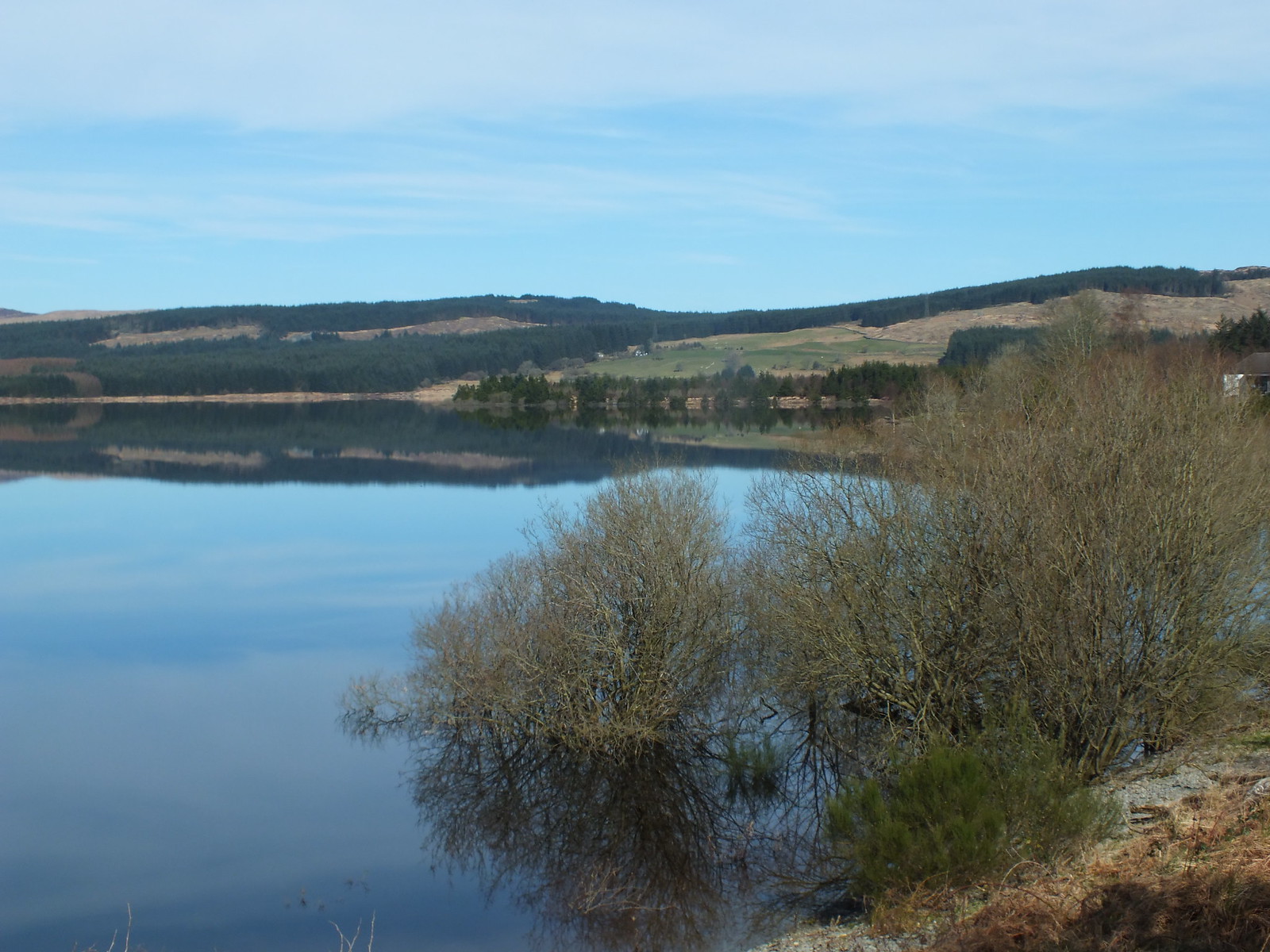
Clatteringshaws Loch
I had to stop when I saw the view across the loch, it's not everyday in Scotland that there is hardly a breath of wind and the reflections across the loch caught my eye so a few photo's had to be taken

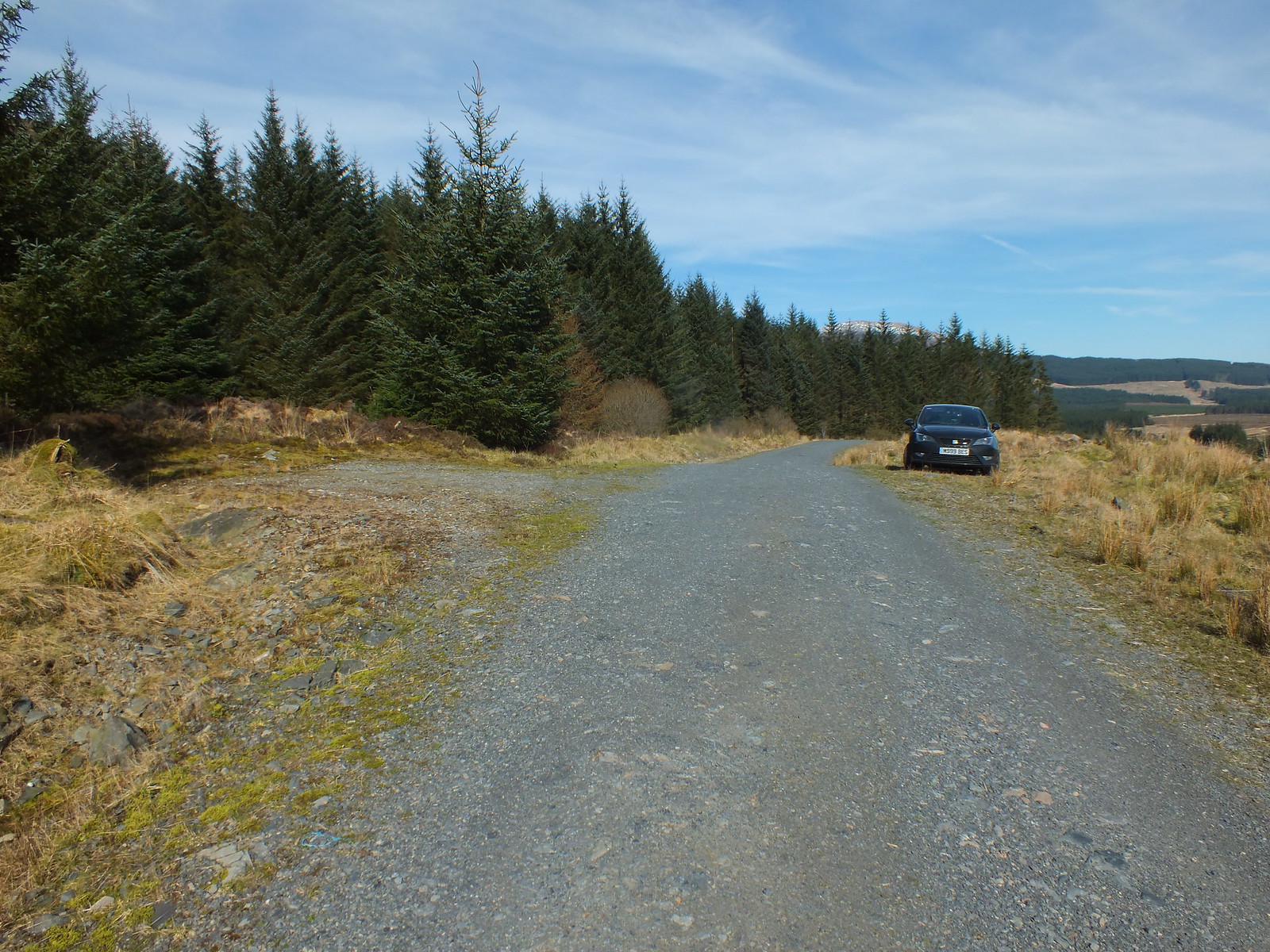
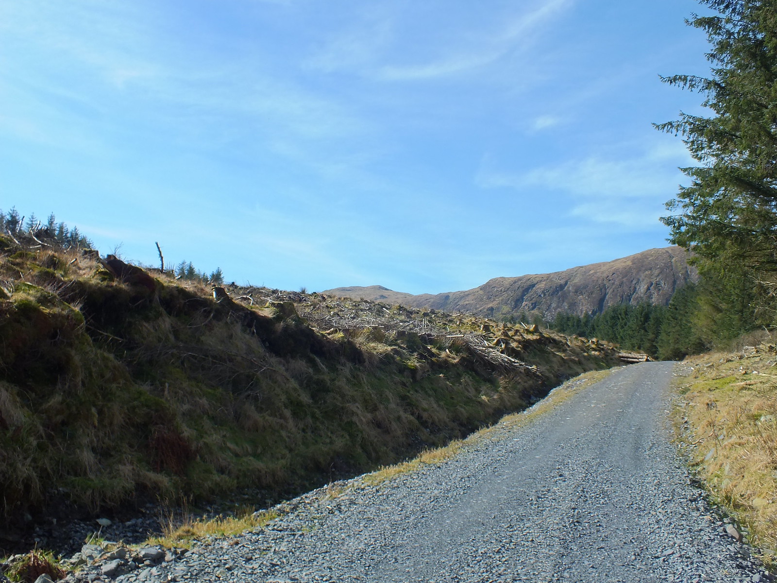
My parking spot for the day, I have to confess I did drive a bit further up the track than one is allowed
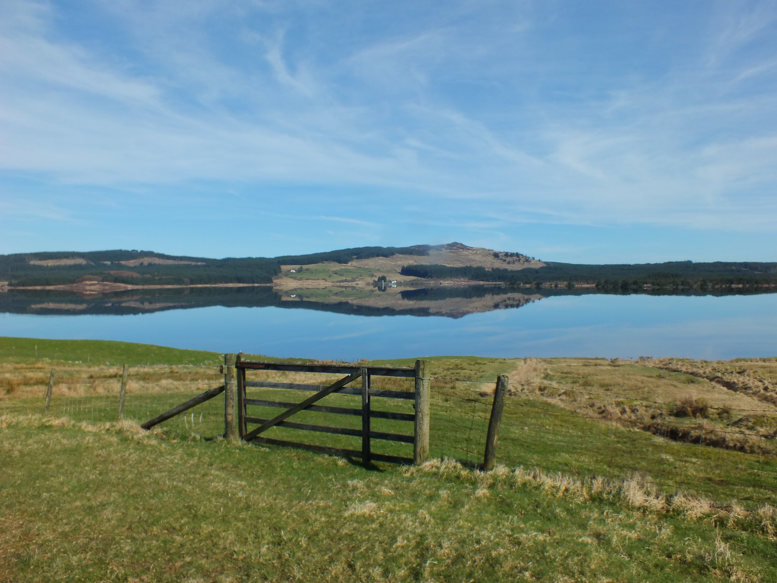
There is a large parking area about 400m back down the track
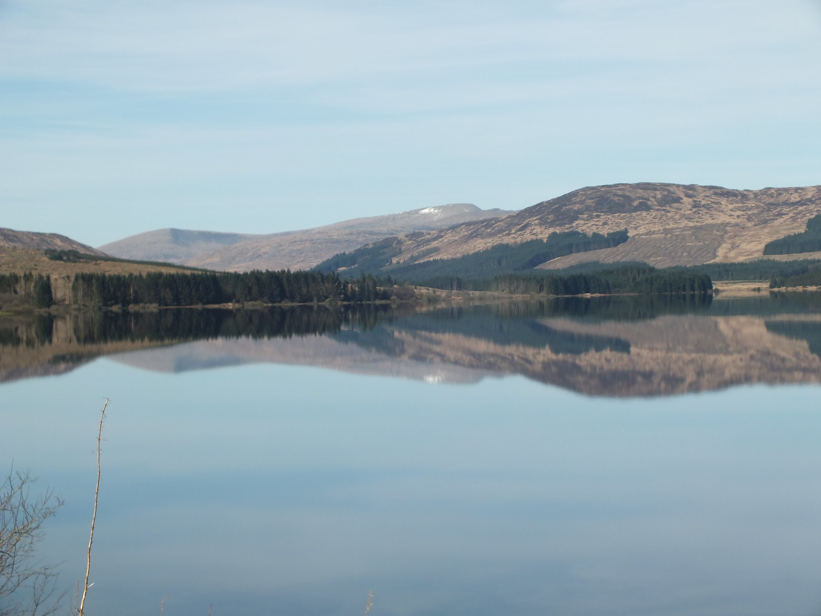
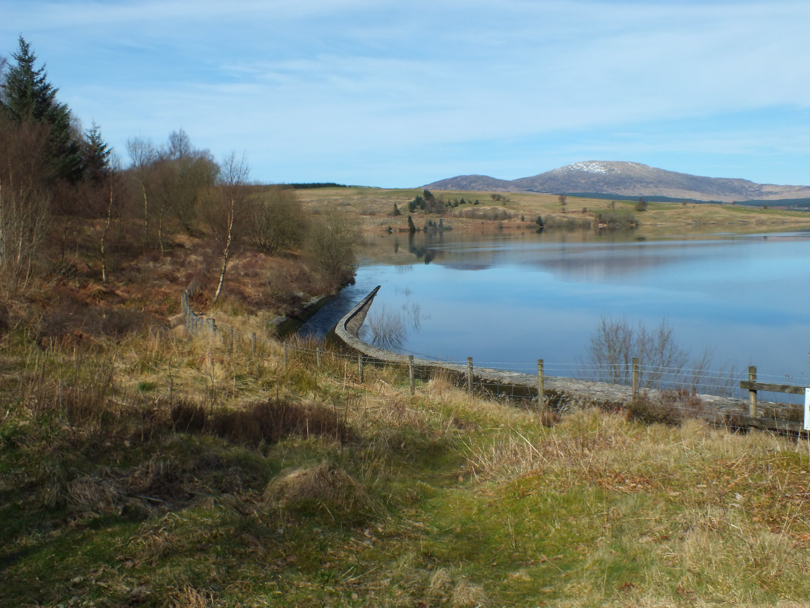
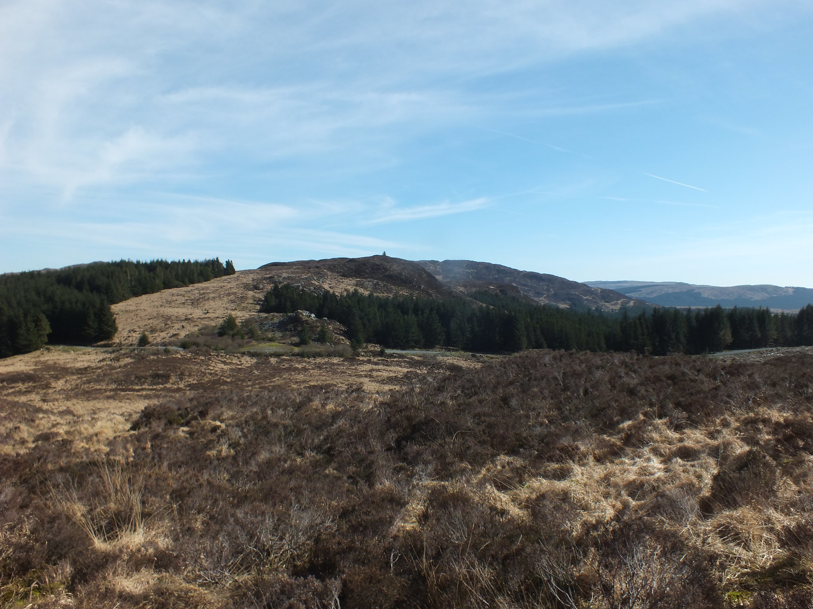
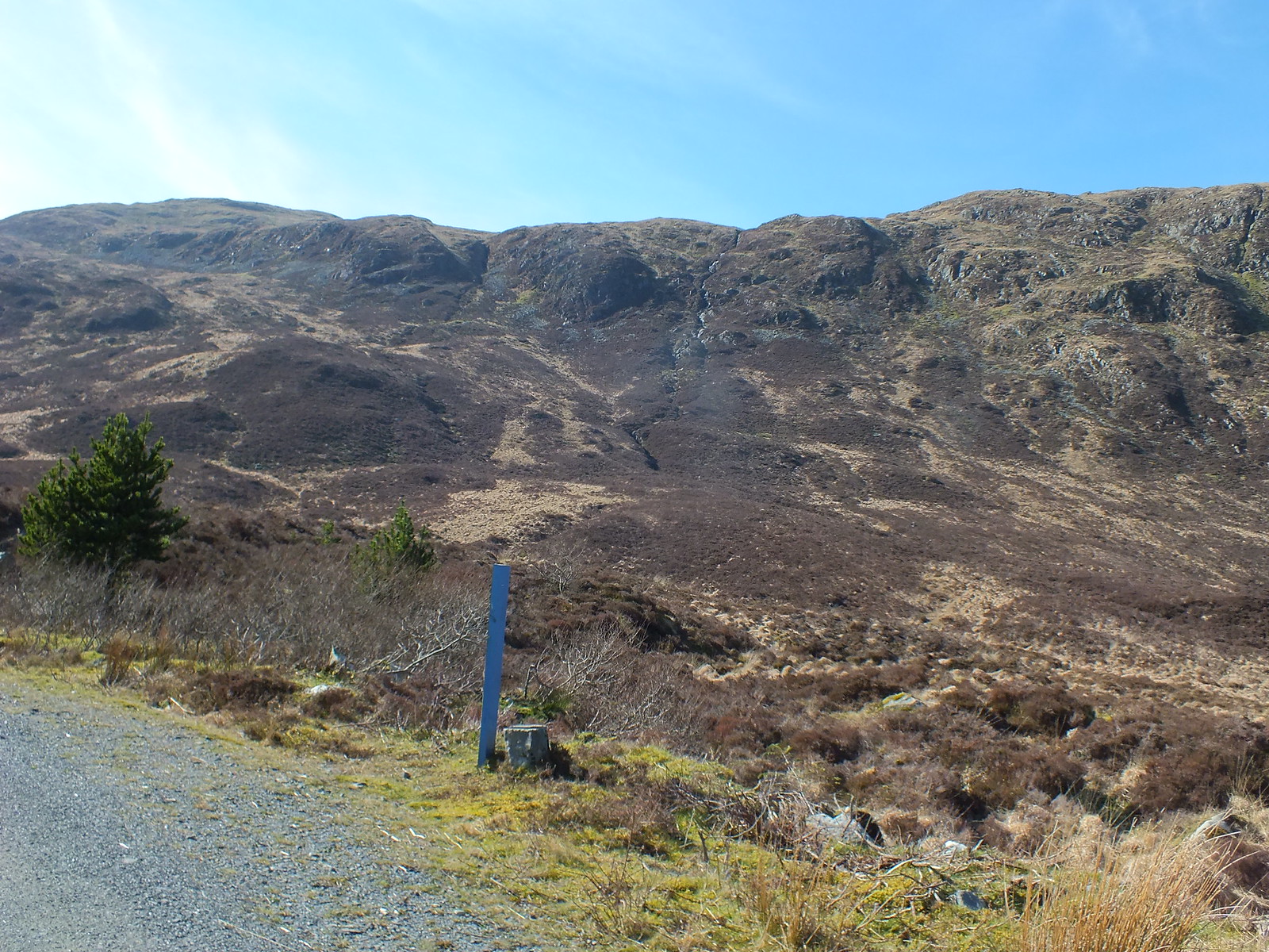
Yes that is Millfore looks quite far away but it wasn't really
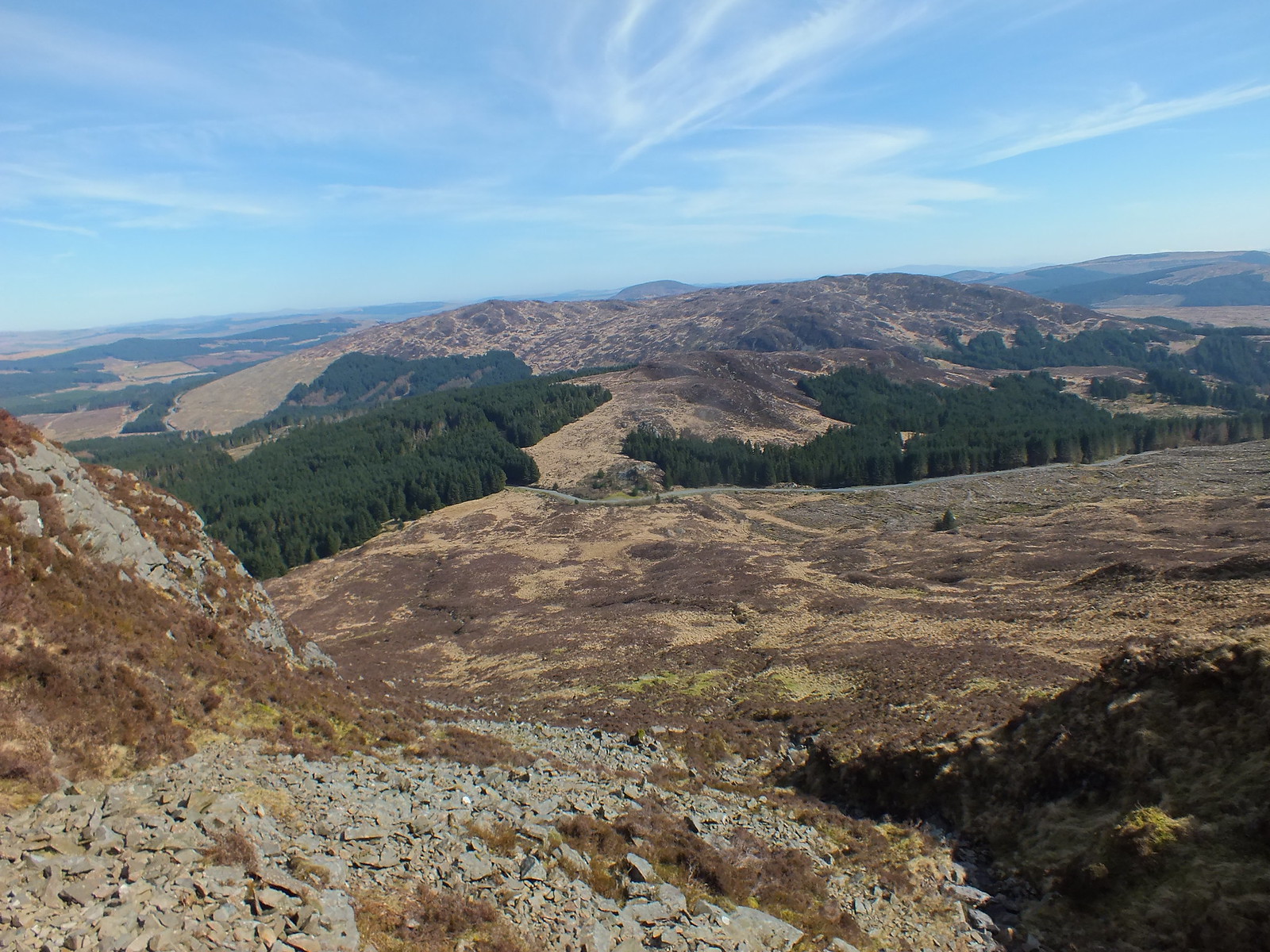
On the map you will notice that this area looks like a dense jungle with a track cutting through it, however like most forests at the moment, the trees are almost non existent, de-forestation is the "in thing". I don't have a problem with it, but surely there must be a better way of tidying up once all the harvesting is complete

A low level look back and across to Craignell
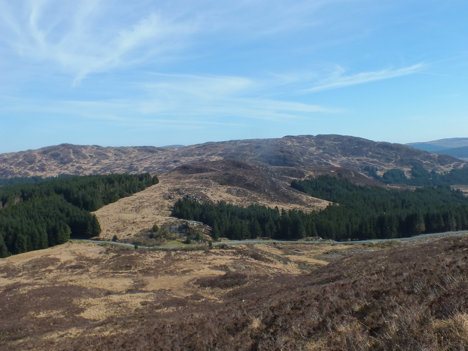
Same shot from a bit higher up
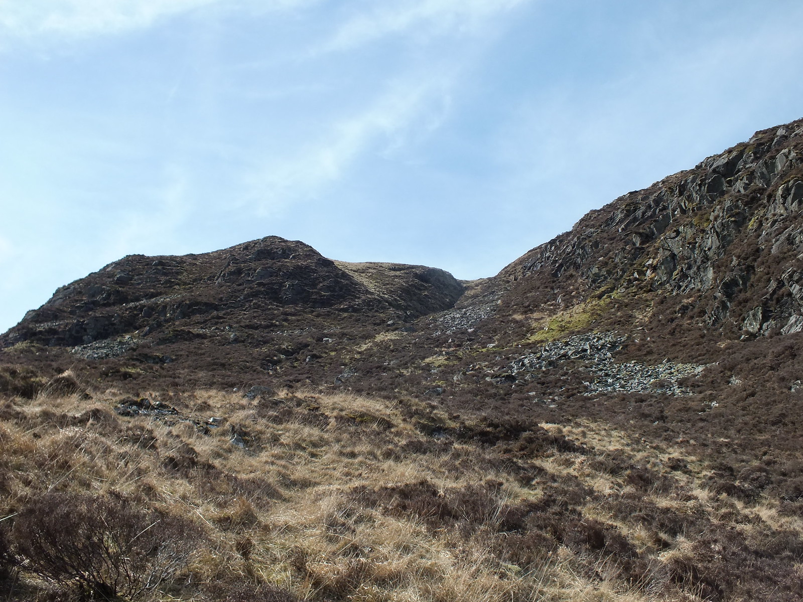
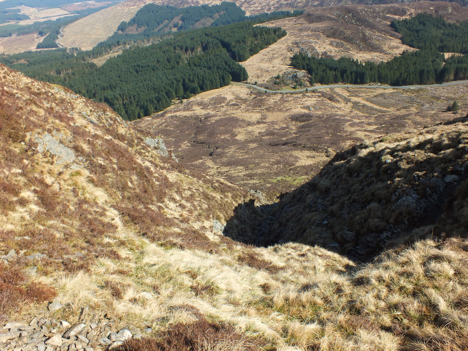
Plan is to head up via the gully in the distance
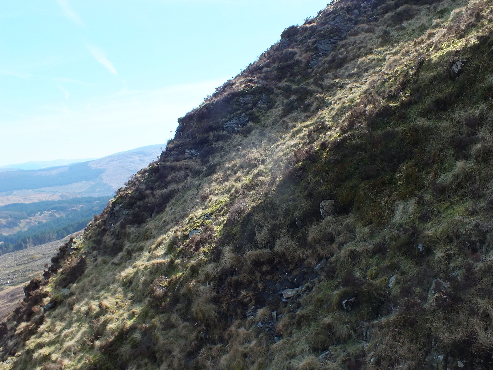
Was kind of steep as this shot demonstrates
Looking back down again
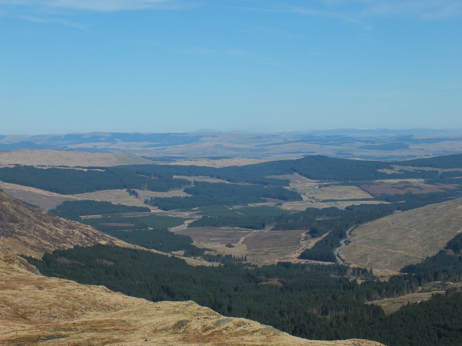
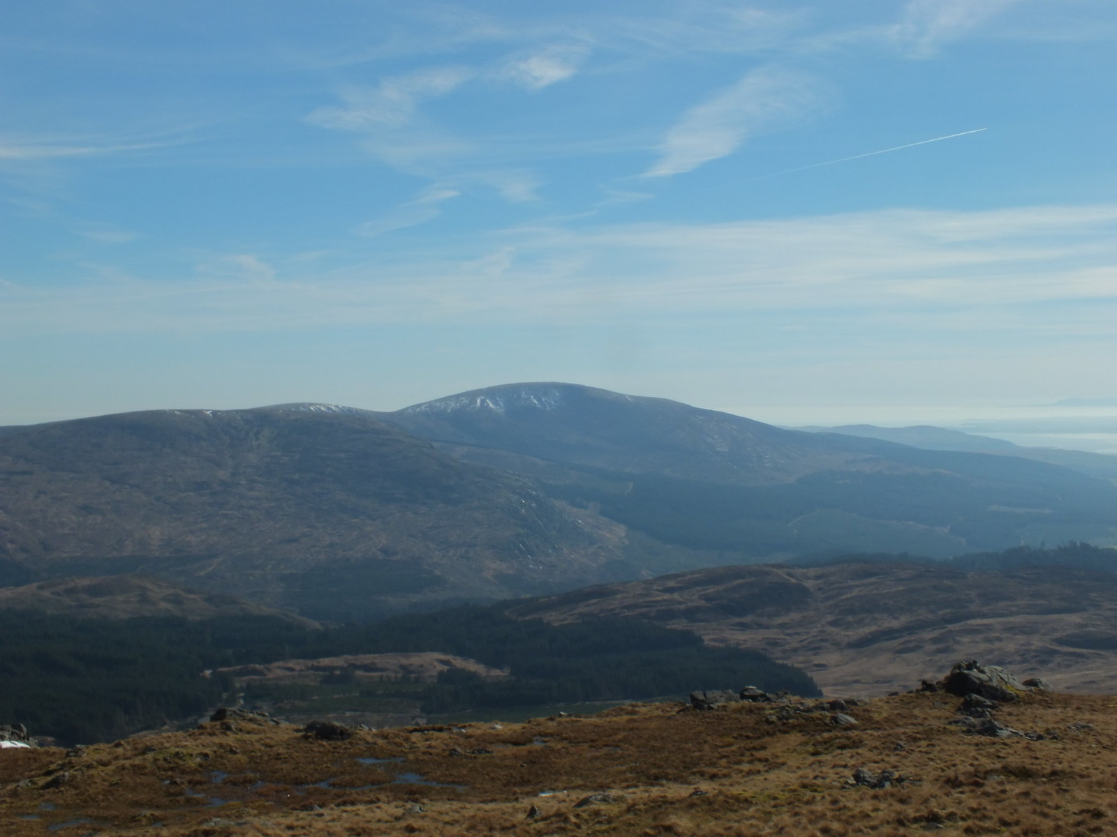
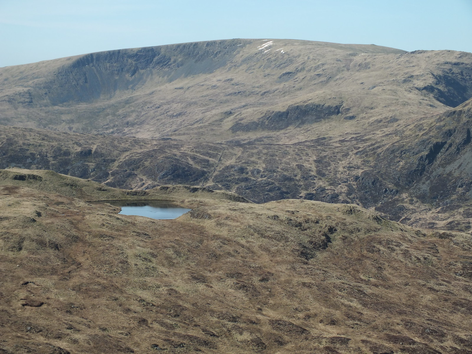
Looking east
North east(ish)
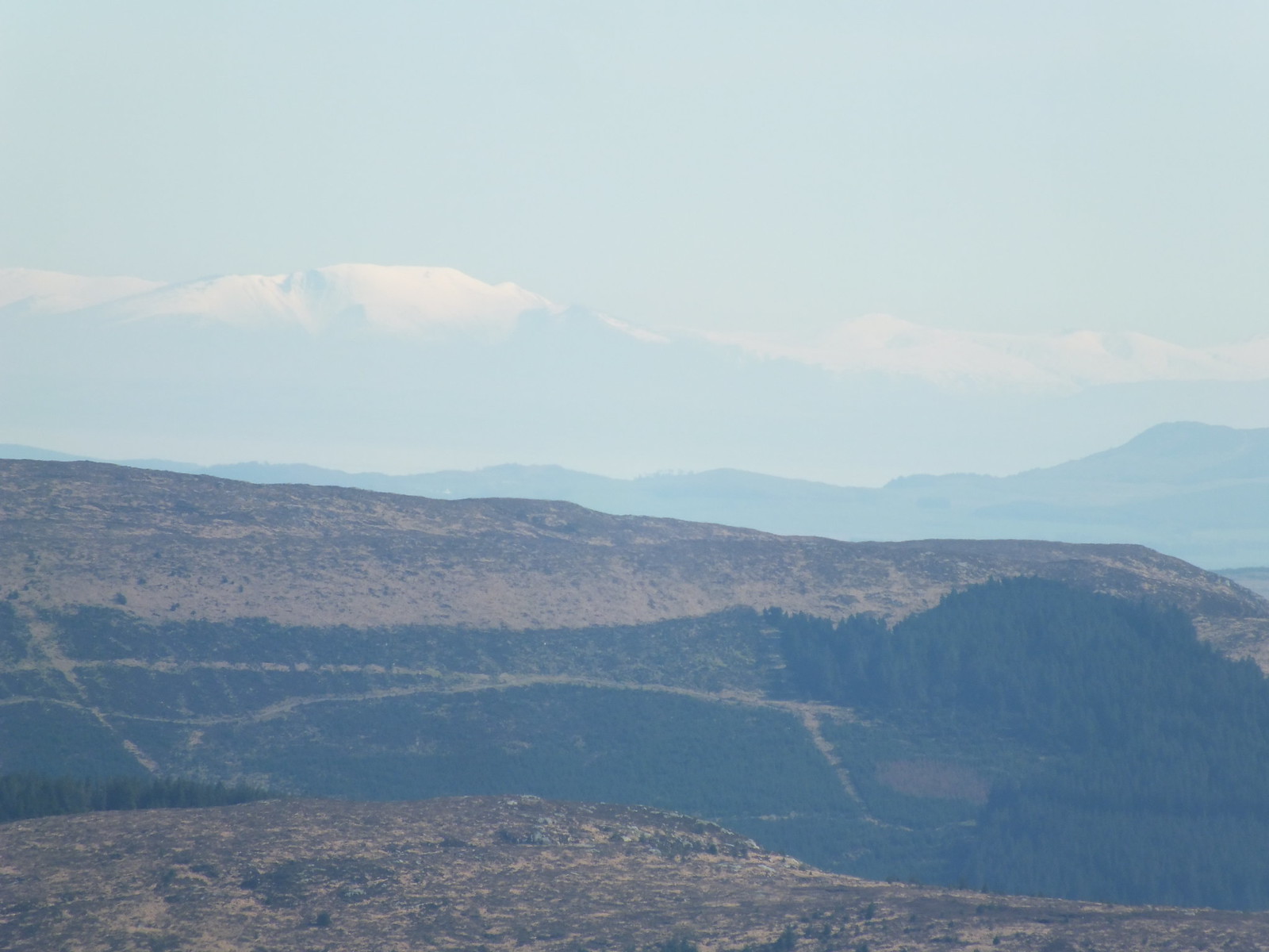
South and if you look carefully you will see some of the Lake District hills
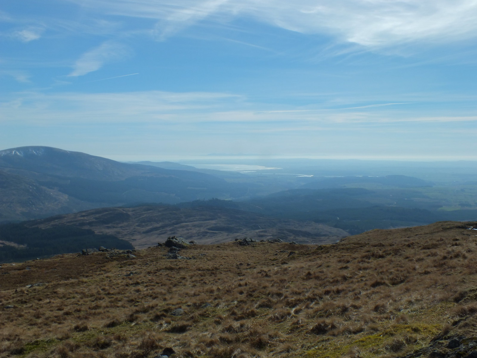
Solway Firth
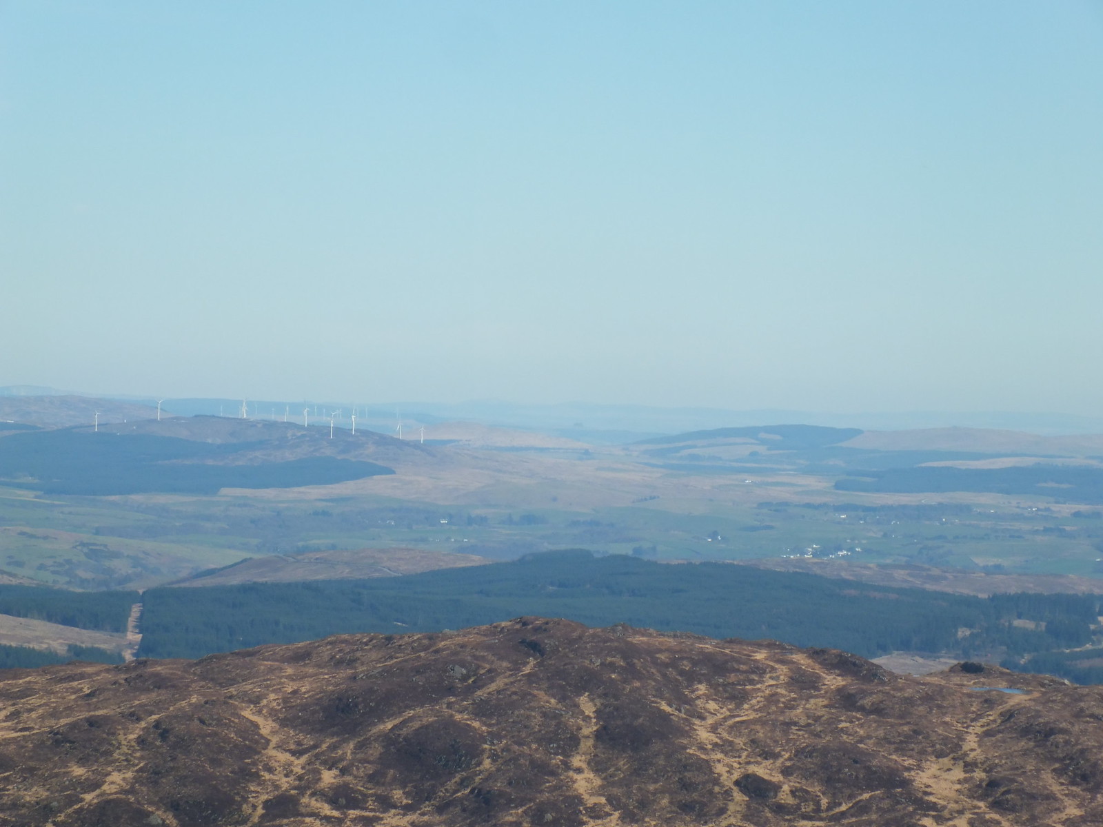
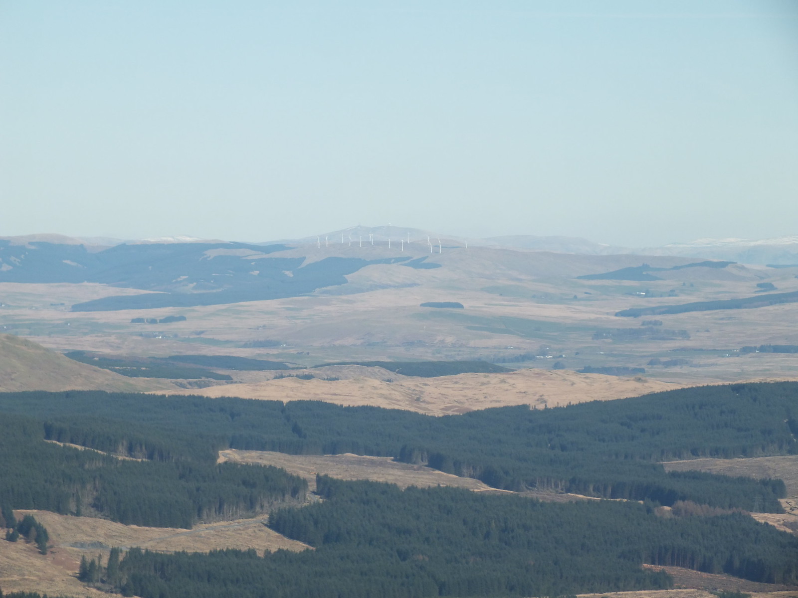
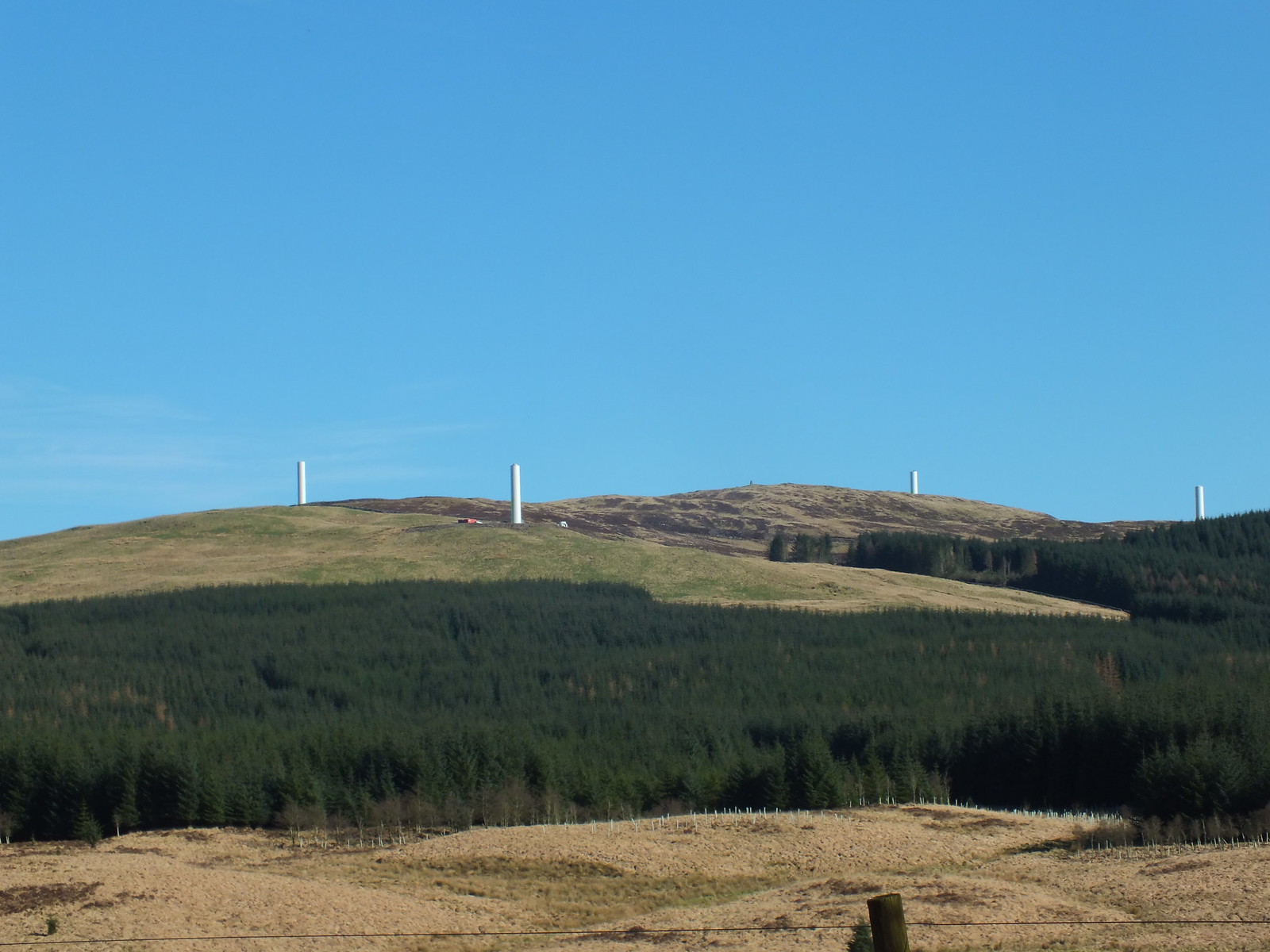
Wouldn't be the Borders without the odd turbine enhancing the view
Another farm
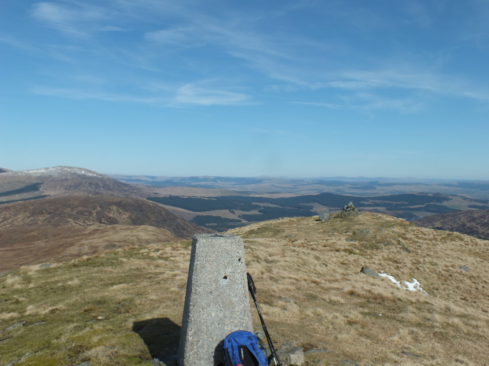
East from the summit trig
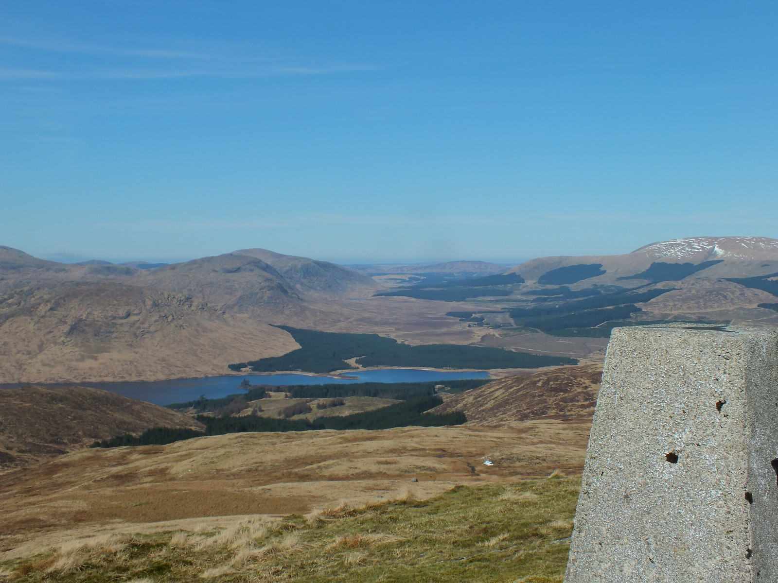
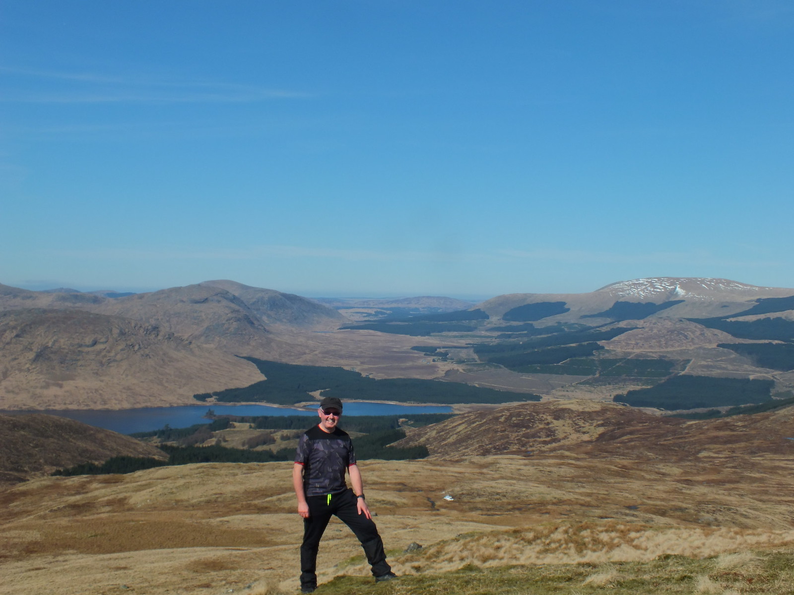
Loch Dee
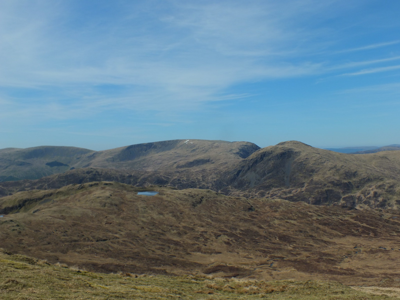
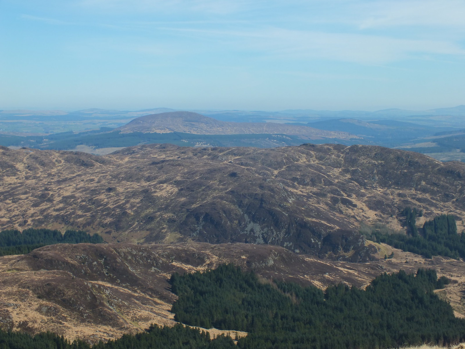
Looking across to Curleywee
West(ish)
Curleywee zoomed, looks quite impressive
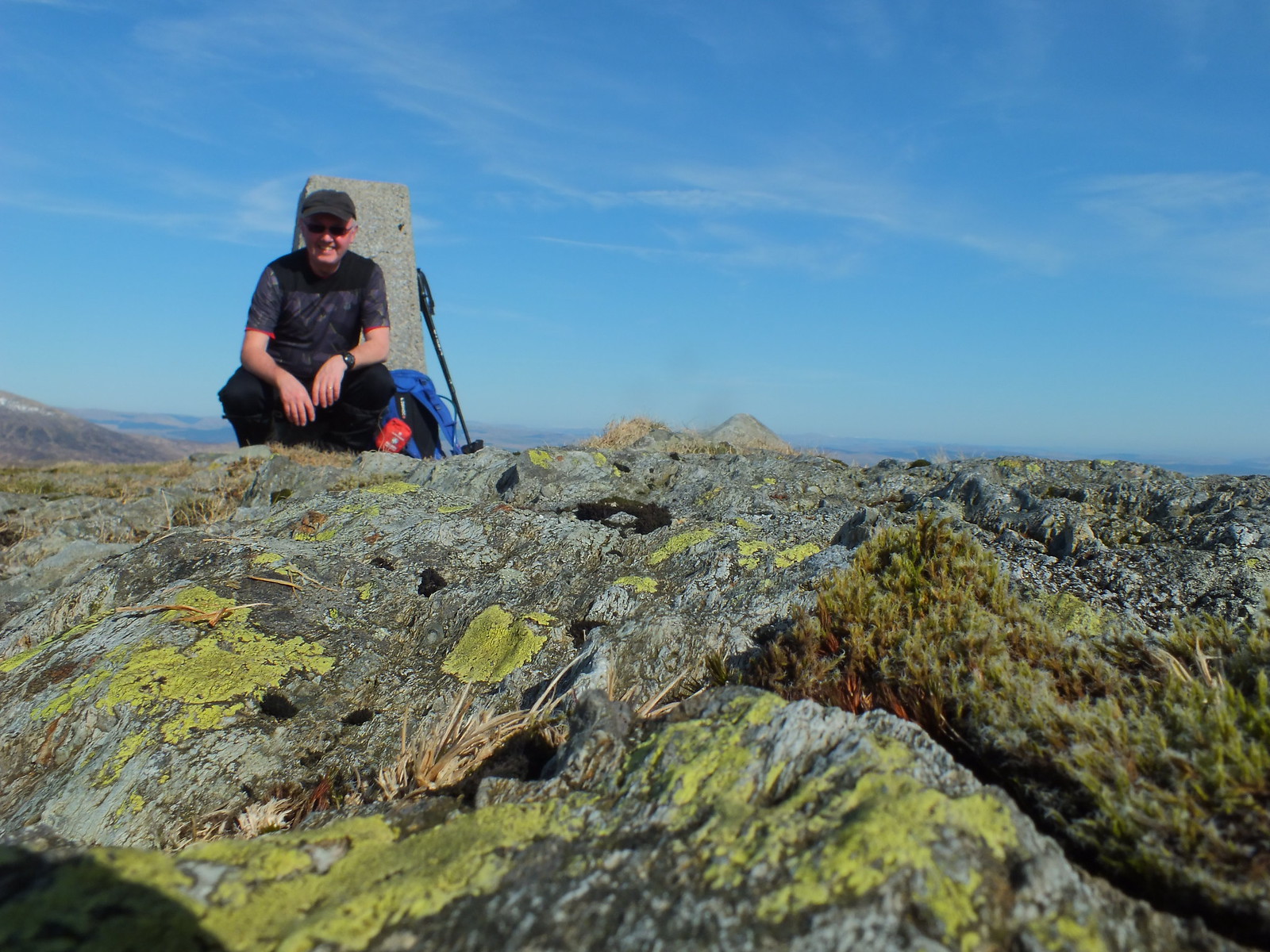
Took a few summit selfies using the timer, need a bit more practice
This is a good one of rocks in front!!
Loch Dee again
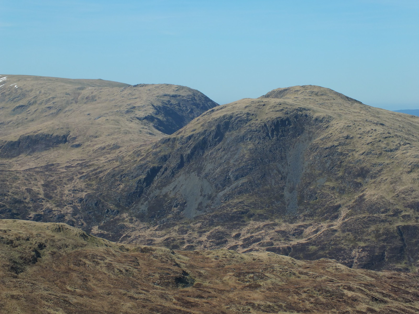
Curleywee again zoomed
After taking quite a few photo's and enjoying the lovely March sun it was time to head back. Most of the higher ground was kind of squidgy, which suggests that there had been snow and as we all know descending on wet grass is a recipe for a wet backside. Only one slip and that was whilst traversing and only ended up with a very soggy left knee
The way down via the gully I came up
Looking back and farewell Millfore

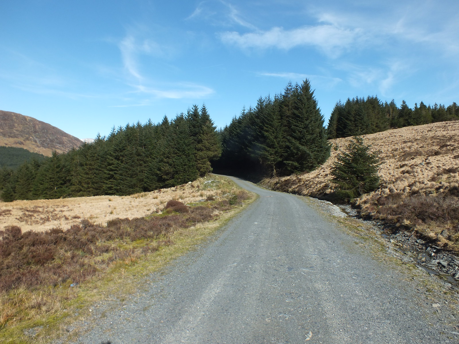
The way back into the forest (what's left of it)
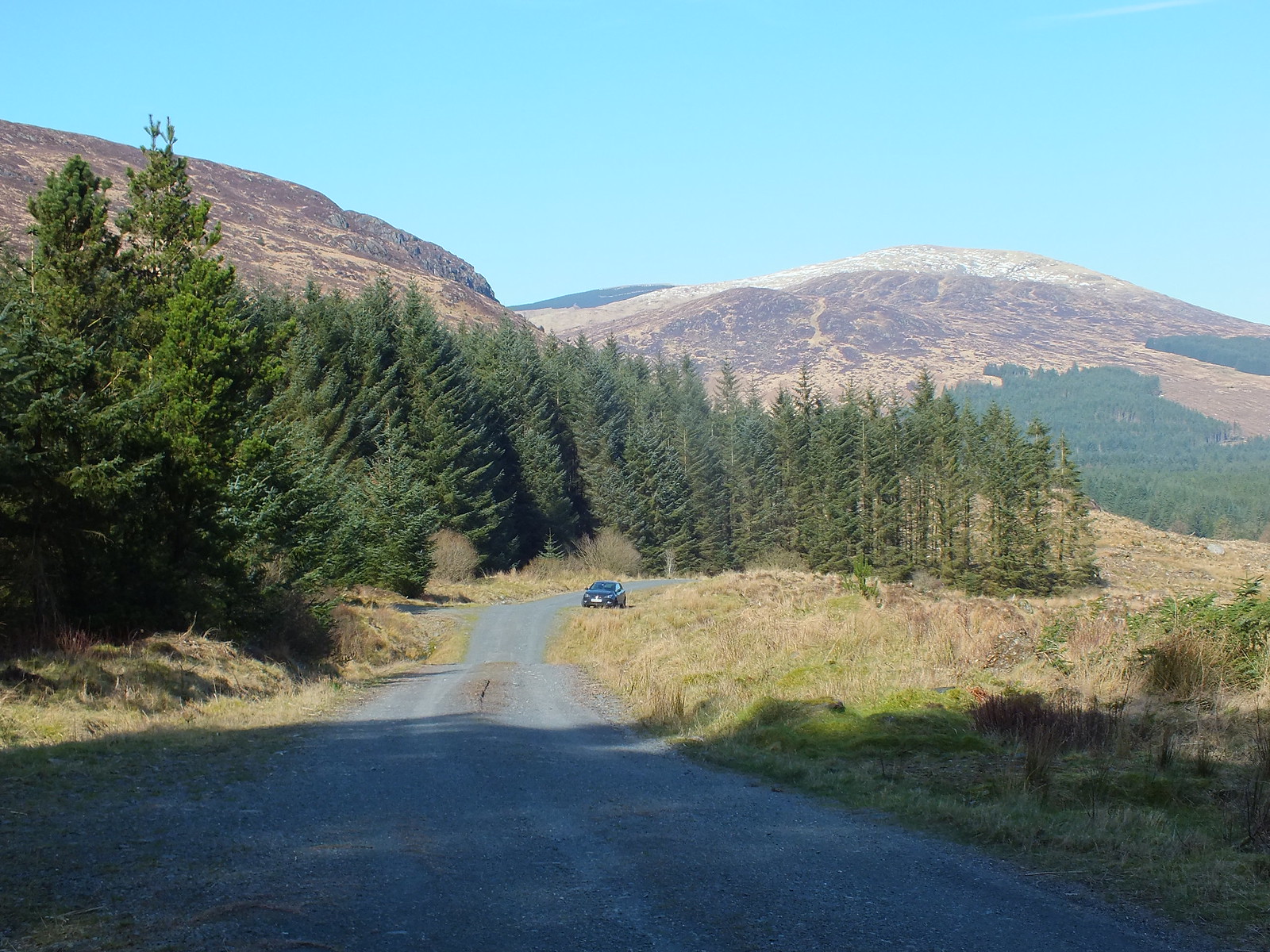
Nice background behind where the car was parked
Spotted these growing out of the ground on the way to Moniaive
It was great to get out especially is such fantastic weather, I was contemplating about heading east to tackle the Marilyn "Craignell" however after studying the 'lie of the land' from above the approach to Craignell looks very undulating, so I binned that idea

If anyone has plans to tackle Millfore in the future, I would recommend this route, great reward for not alot of effort. Had I not spent quite so long on the summit I could have been back at the car in less than 2 hours
Next for me will be back to the local area
