free to be able to rate and comment on reports (as well as access 1:25000 mapping).
"At the toe of this remote promontory, bounded by Loch Brittle and the Sound of Soay and reached only by a lonely track, lies a rich palimpsest of archaeological remains testifying to the former significance of Rubh' an Dùnain." -
https://canmore.org.uk/site/11022/skye-rubh-an-dunainThis walk was recommended to us by someone at the Old Inn at Carbost. I'd recommend it too: it's an excellent alternative for a walk from Glenbrittle for those admittedly rare occasions when the Cuillin are shrouded in cloud. There is a good aerial photo of Rubh' an Dùnain here
https://canmore.org.uk/collection/1233893We decided to tour Talisker Distillery in the morning and save the walk for the afternoon, when patchy sunshine was forecast for the coast (but not for the Cuillin).
The walk starts along the beach-side track to the campsite, but once reaching the campsite it follows a path leading uphill onto the open moor to join a track. From here there was a beautiful view of the Loch Brittle beach.
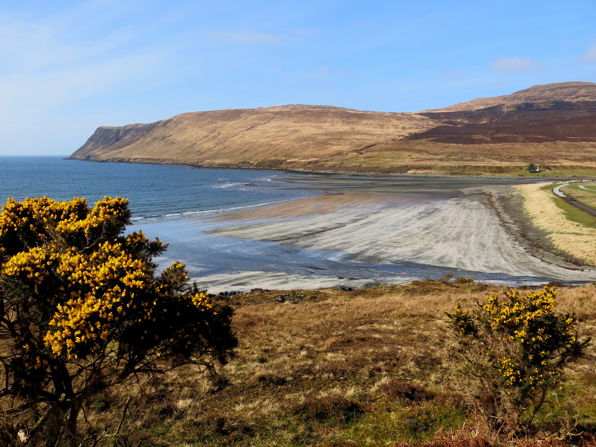 IMG_6000
 by
Half Man Half Titanium, on Flickr
After a short while there were also good views back to Glen Brittle. The Cuillin summits were to remain hidden from our view for the whole day, but our walk was so interesting that it really didn't matter.
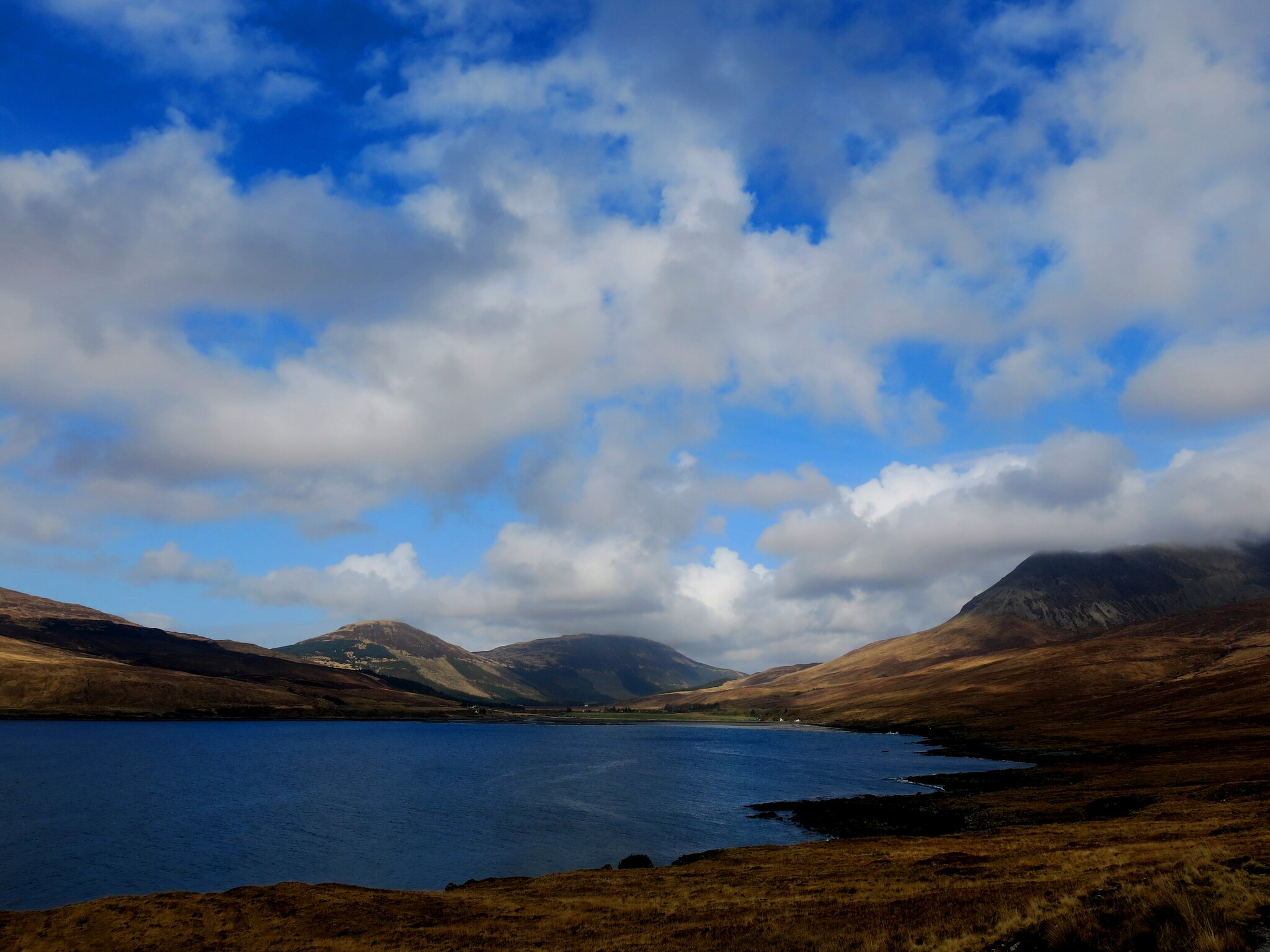 IMG_6007
 by
Half Man Half Titanium, on Flickr
The one slight obstacle on our path was a wide stream, but there was a bridge a few yards downhill from the track - just visible in this photo.
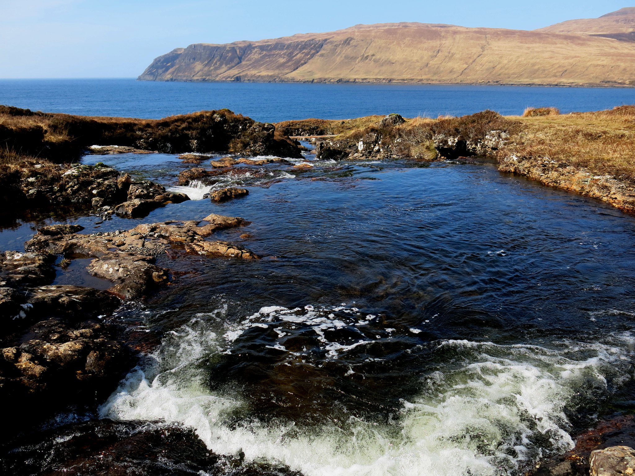 IMG_6001
 by
Half Man Half Titanium, on Flickr
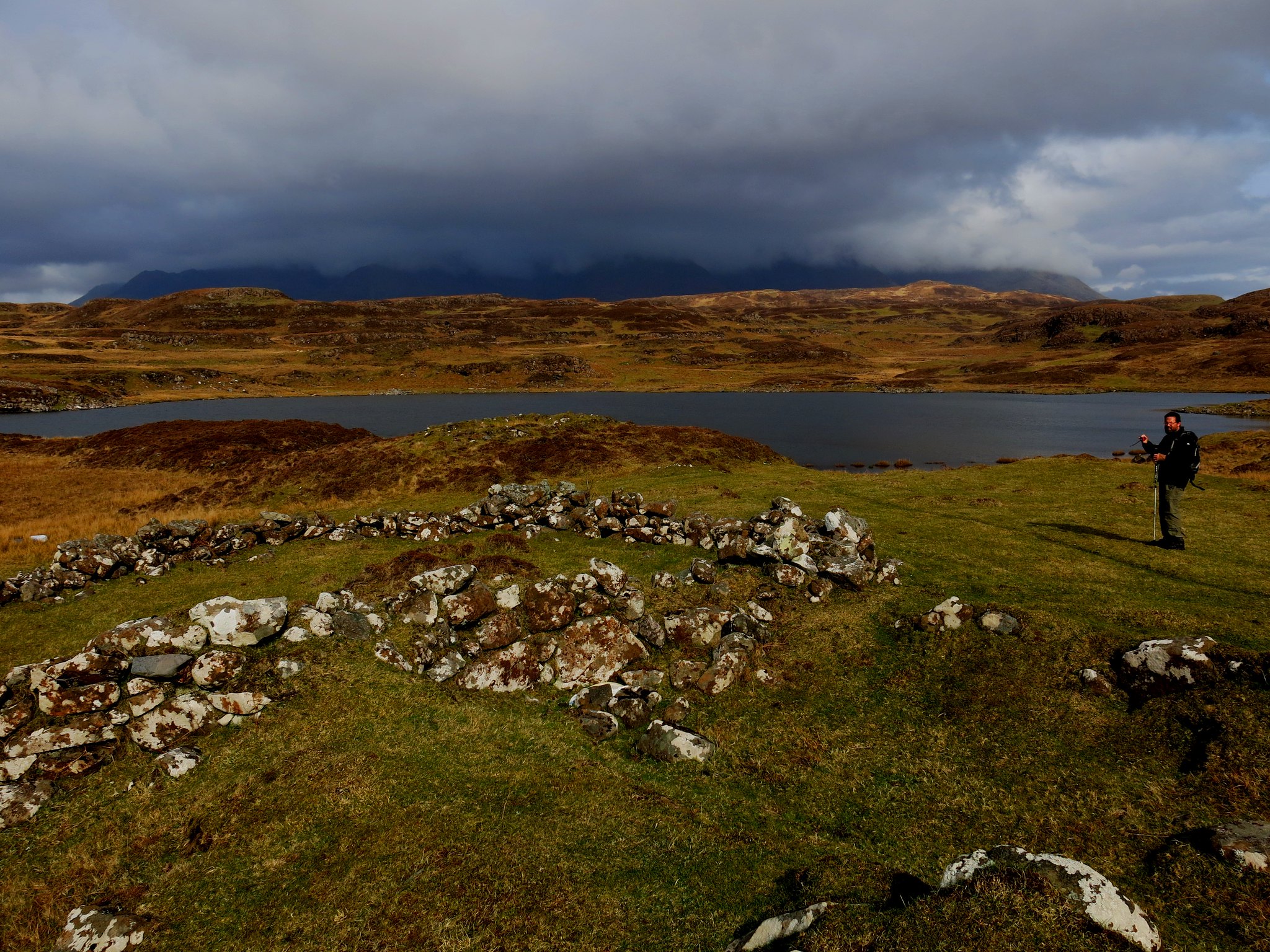
Apart from that it was an easy and obvious walk to where the route to Rubh' an Dùnain branches right from the track at a wall, where the main track bends inland. After crossing some higher but soggy ground we could look out across the headland. The green patch in the foreground is the remains of a house - a a foretaste of the rest of the walk.
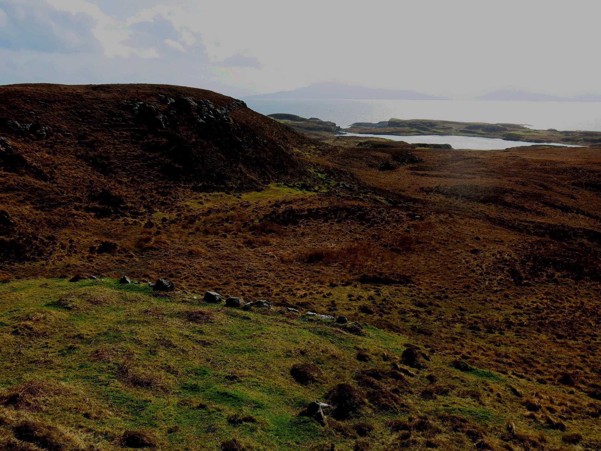 IMG_6009
 by
Half Man Half Titanium, on Flickr
We descended to the edge of the low crags above the sea.
 IMG_6013
 by
Half Man Half Titanium, on Flickr
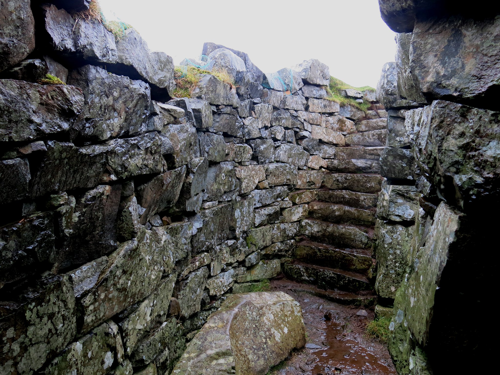
Then we branched inland to the first site of (pre)historic interest - a Neolithic tomb. This is the entrance.
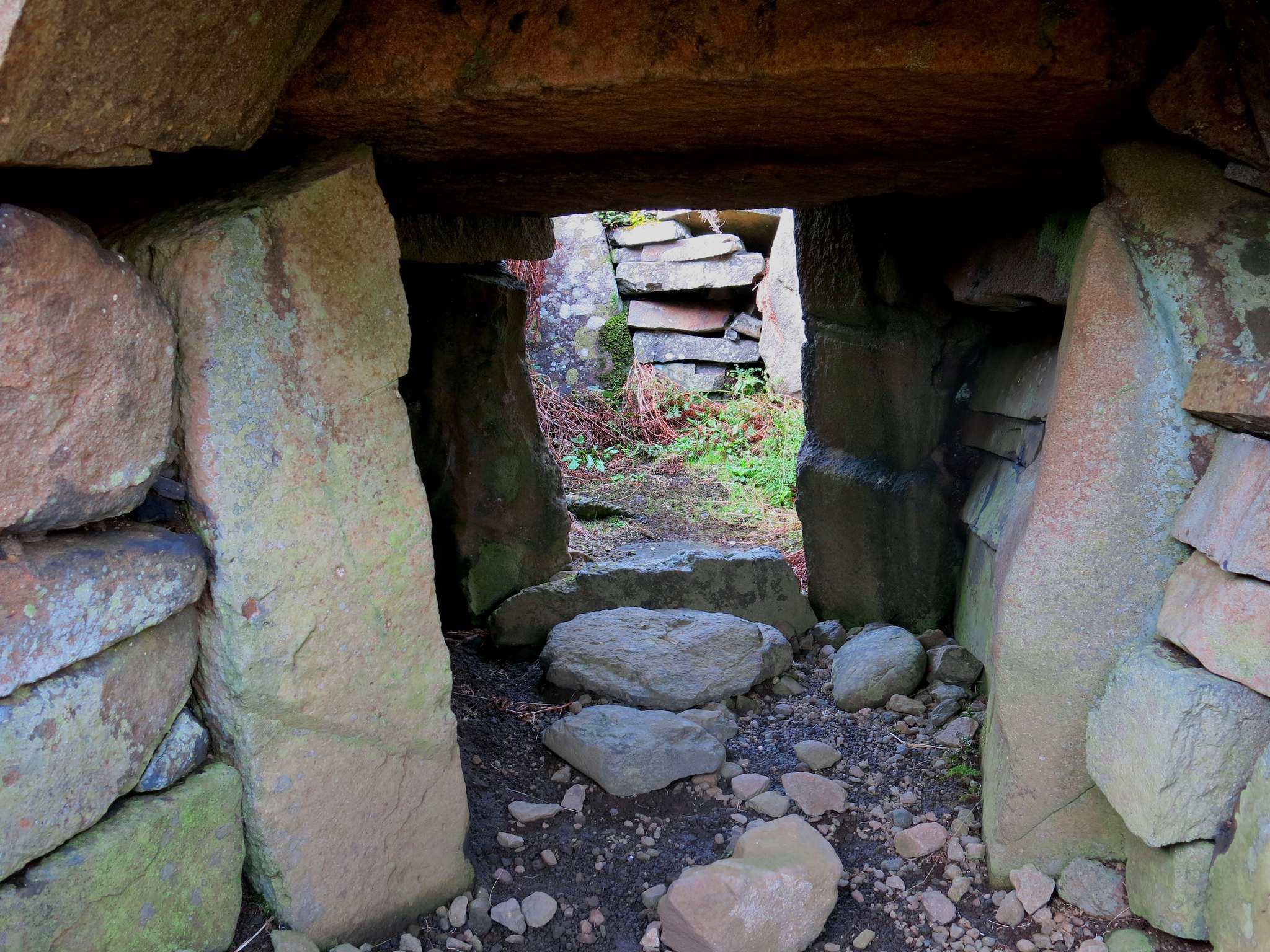 IMG_6021
 by
Half Man Half Titanium, on Flickr
Such tombs are variously known in different parts of Britain as a cromlech (Welsh), passage grave or chambered cairn. This one certainly follows the pattern of the Neolithic tombs I've seen in Wales and the English West Country, being a domed hump with a slab-lined passage leading to a central chamber. - this is the view from the inside looking back out.
 IMG_6026
 by
Half Man Half Titanium, on Flickr
The web page linked to at the top of this TR says
"Excavations in 1931 and 1932 showed that the cairn was built of rounded stones, probably from the beach nearby, and surrounded by a low wall of vertical slabs with walling between, similar to the interior. Pottery (including a Beaker), quartz pebbles, flint and quartz chips found in the excavations are in the NMAS. The fragmentary remains of six adults of varying ages were found."
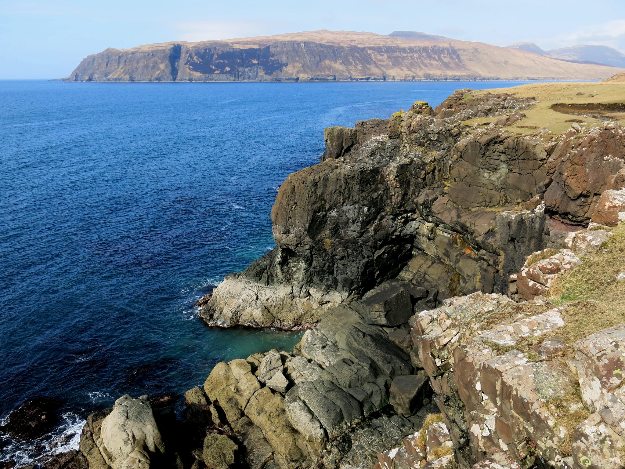
From the chambered cairn, we crossed a wall and headed for the end point of the headland. This was a wild and weather-beaten spot with great views of the sea and the Skye coast.
 IMG_6042
 by
Half Man Half Titanium, on Flickr
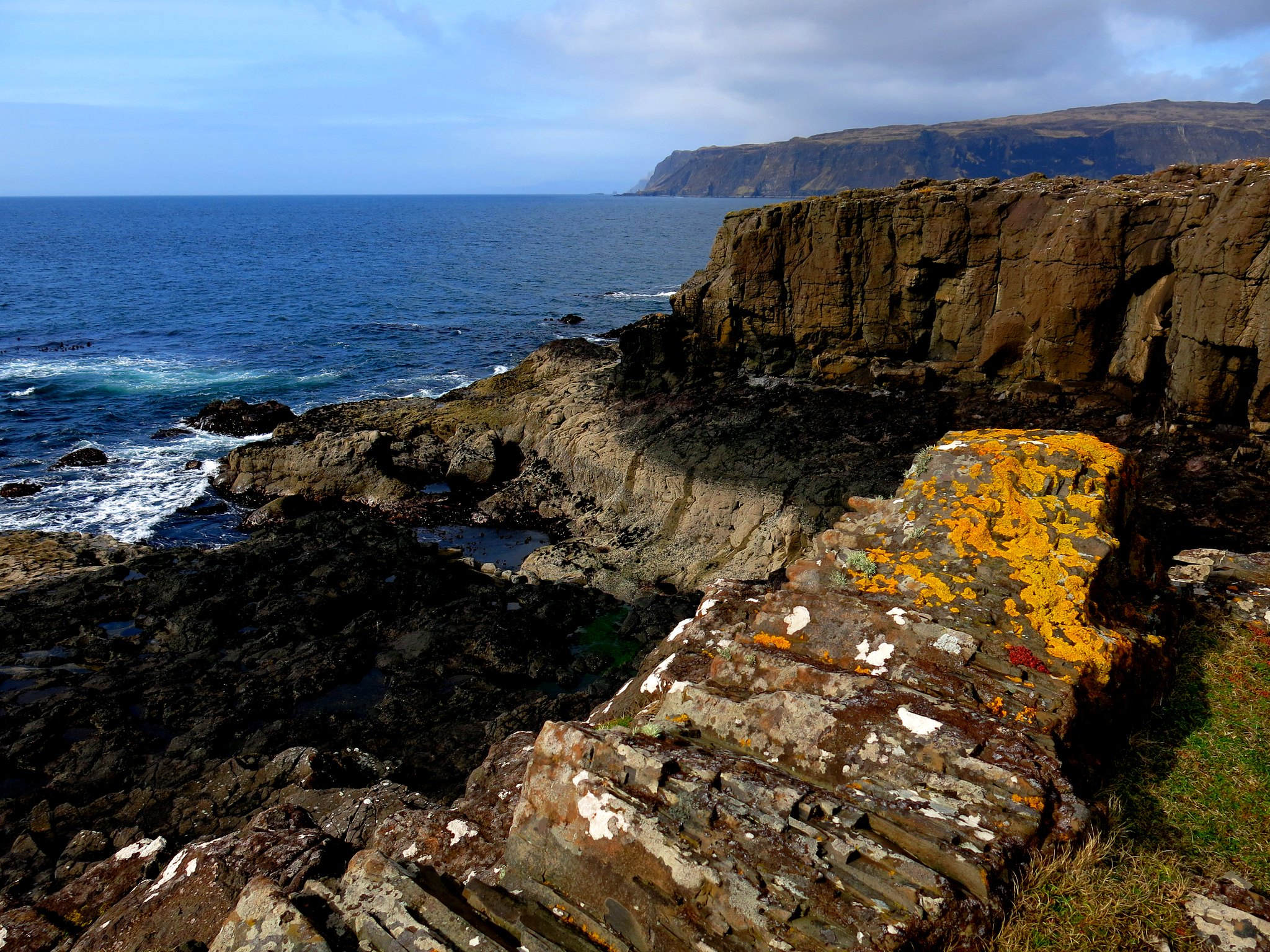
We then wandered south above low cliffs. From here on we only had a sketchy idea of what else there was to see at Rubh' an Dùnain, but we soon came across two or three, then several outlines of what had been crofters' cottages - a ghost village. It was obvious that there had been a significant settlement here, before the landowners forced the tenants out.
 IMG_6060
 by
Half Man Half Titanium, on Flickr
Most of the inhabitants, mainly of the Clan MacAskill, emigrated to English-speaking lands across the world. This sorry chapter of Rubh' an Dùnain's story, which mirrored what happened all across the Highlands and Islands, is set out at
http://www.macaskillsociety.org/content/past-clearances/. As on Sgurr na Banachdich earlier in the week, I was put in mind ofthe Canadian Boat Song.
"When the kindred, in time long vanish'd
Conquered the soil, and fortified the keep,
No seer foretold the children would be banished,
That a degenerate lord might boast his sheep."
It's interesting (to me, anyway) that the brutal reality of the Clearances was going on at exactly the same time as the Victorian English upper and middle classes were enjoying the romanticised vision of idyllic Highland life made popular by Walter Scott and Queen Victoria.
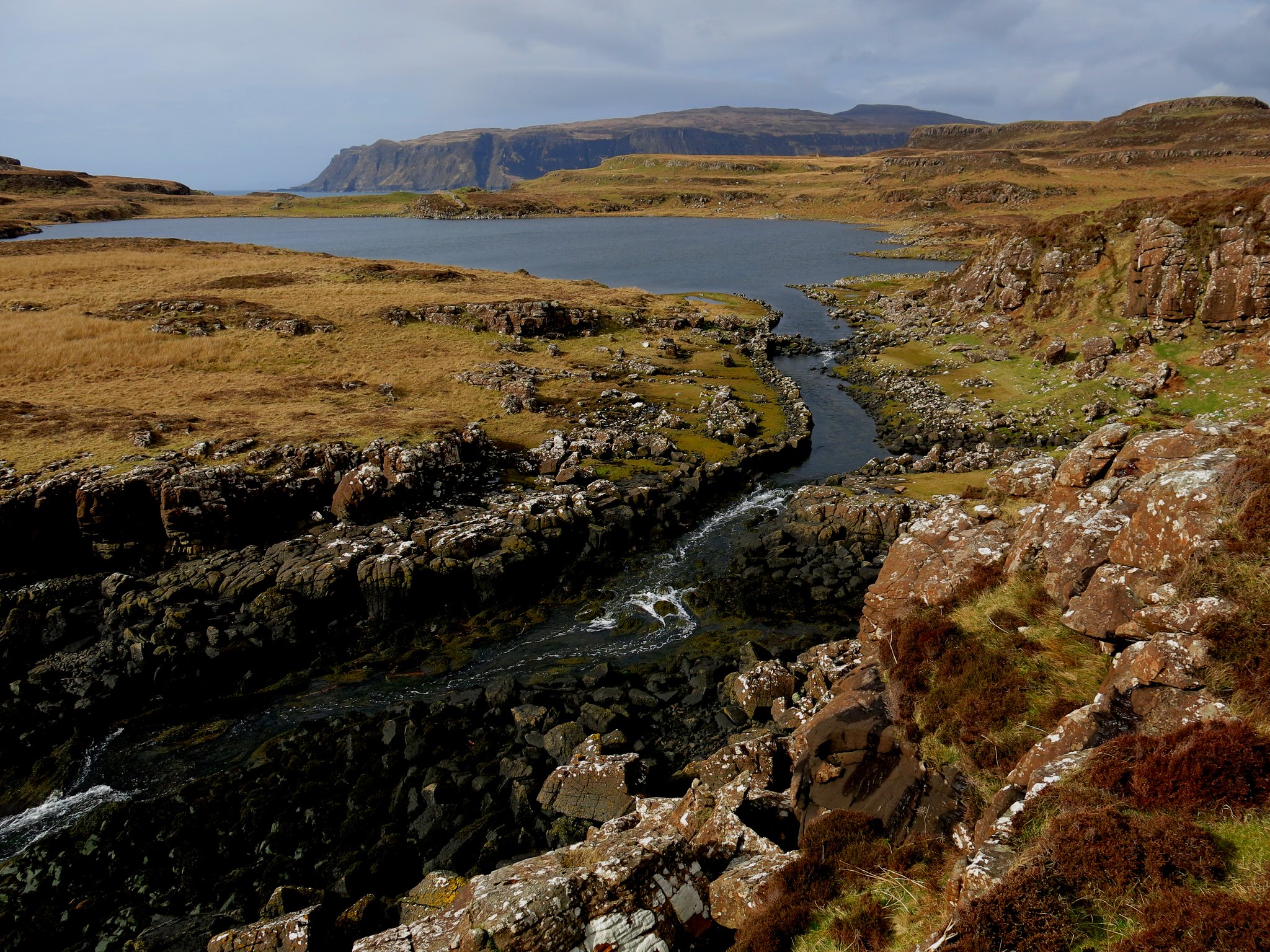
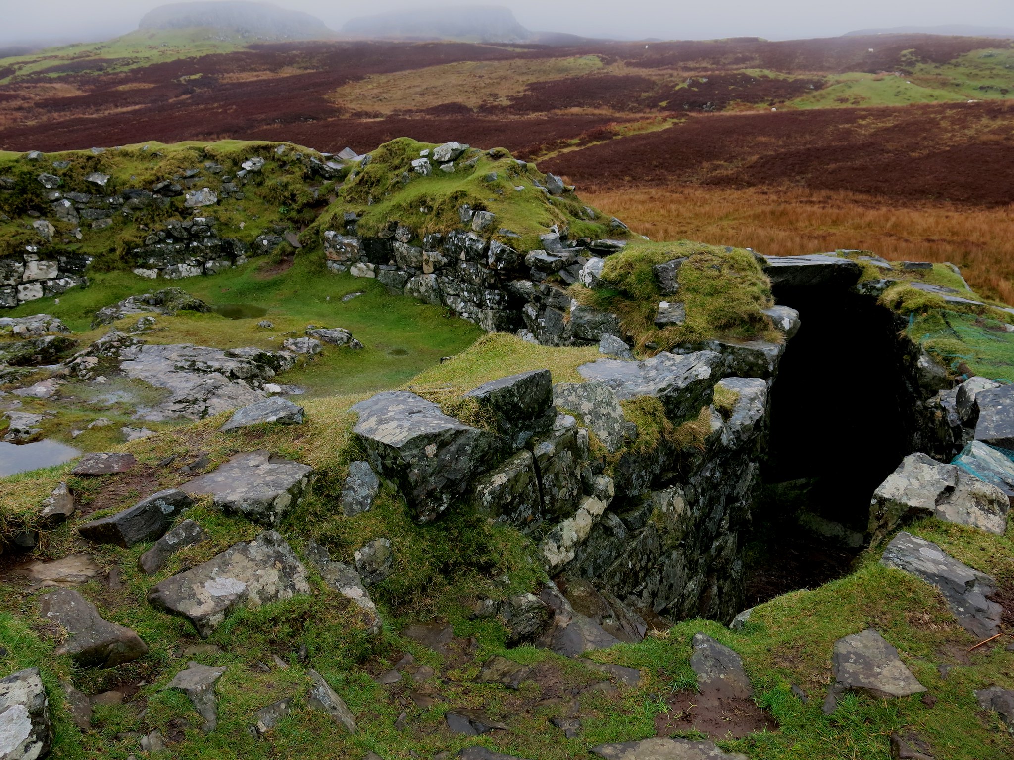
Beyond the ruined cottages, we noticed the curious steam linking Loch an h'Airde with the sea. The stream has walls built alongside it, making it into a sort of artificial canal.
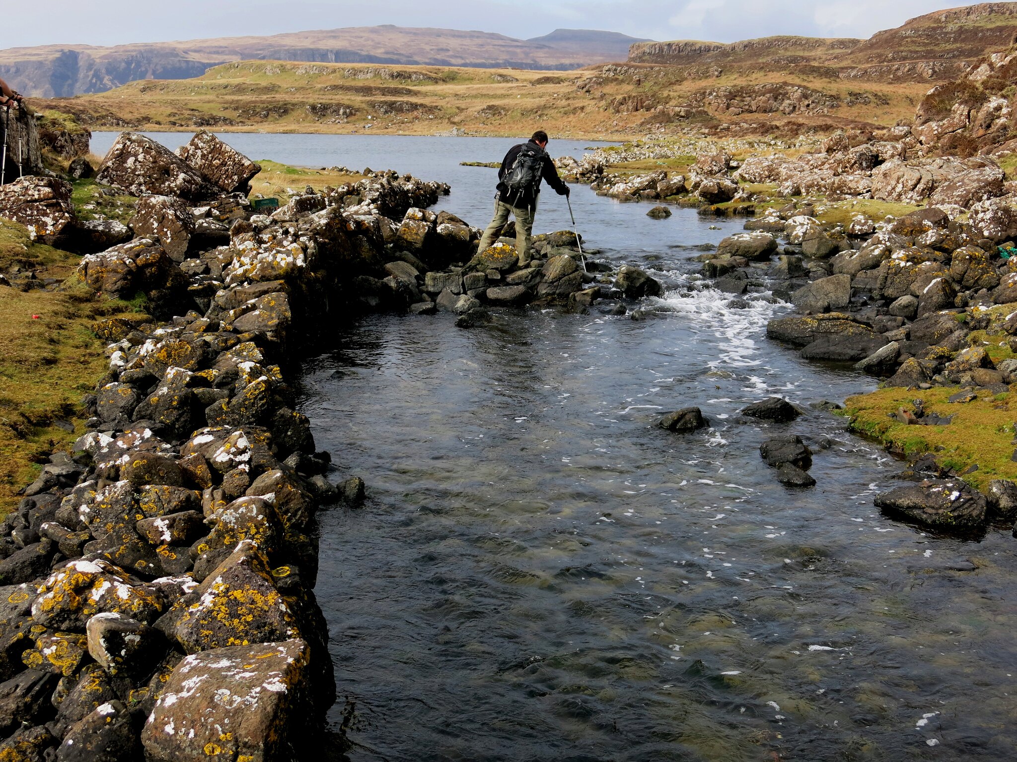 IMG_6068
 by
Half Man Half Titanium, on Flickr
We later found out that this was done so that sea-going boats could be moved up the stream into the loch to shelter (or hide?) them. The link at the top of this TR states
"A stone-lined canal, possibly Viking, connects a sheltered inlet to a small lochan, suitable for harbouring birlinns."
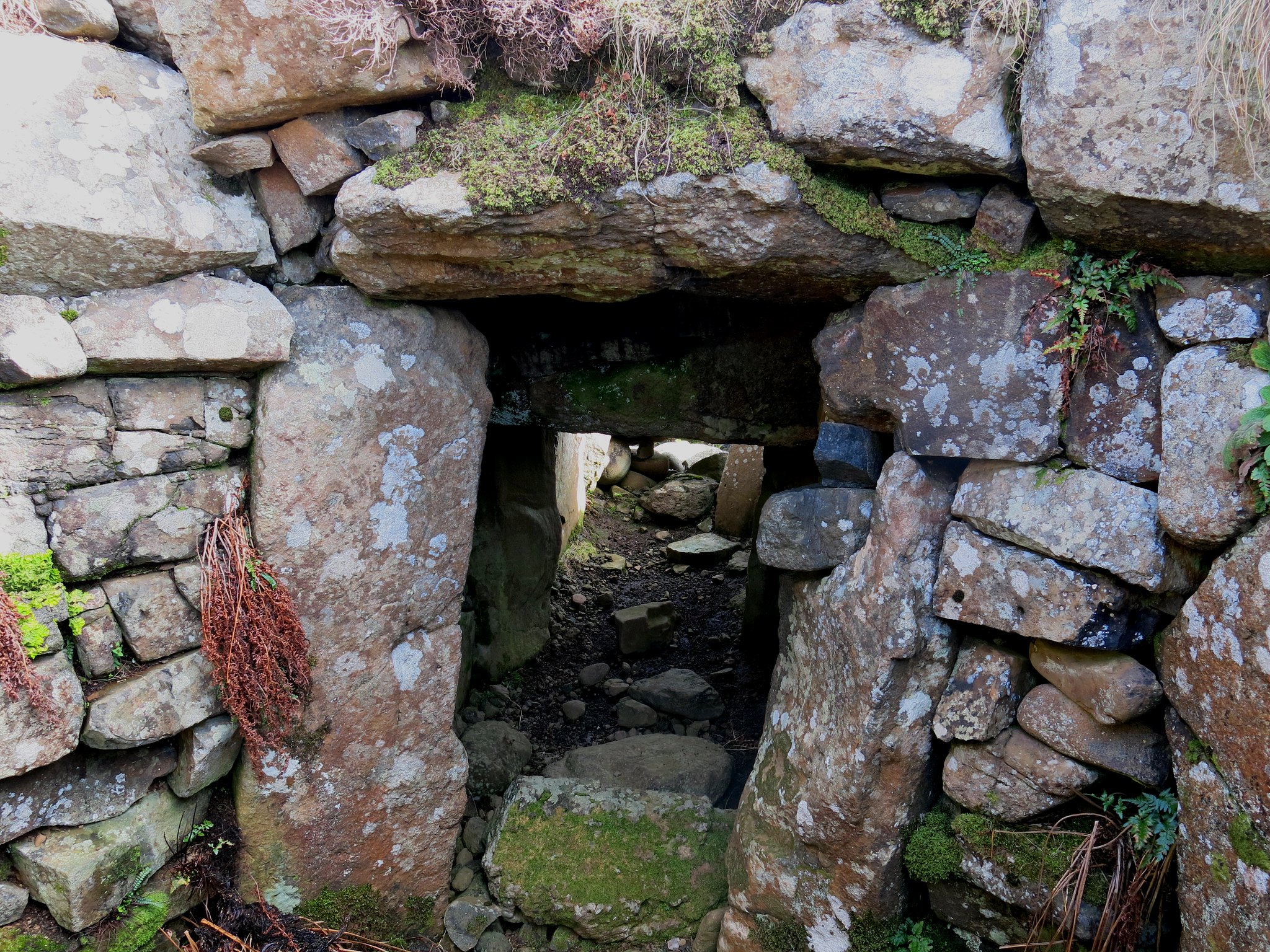
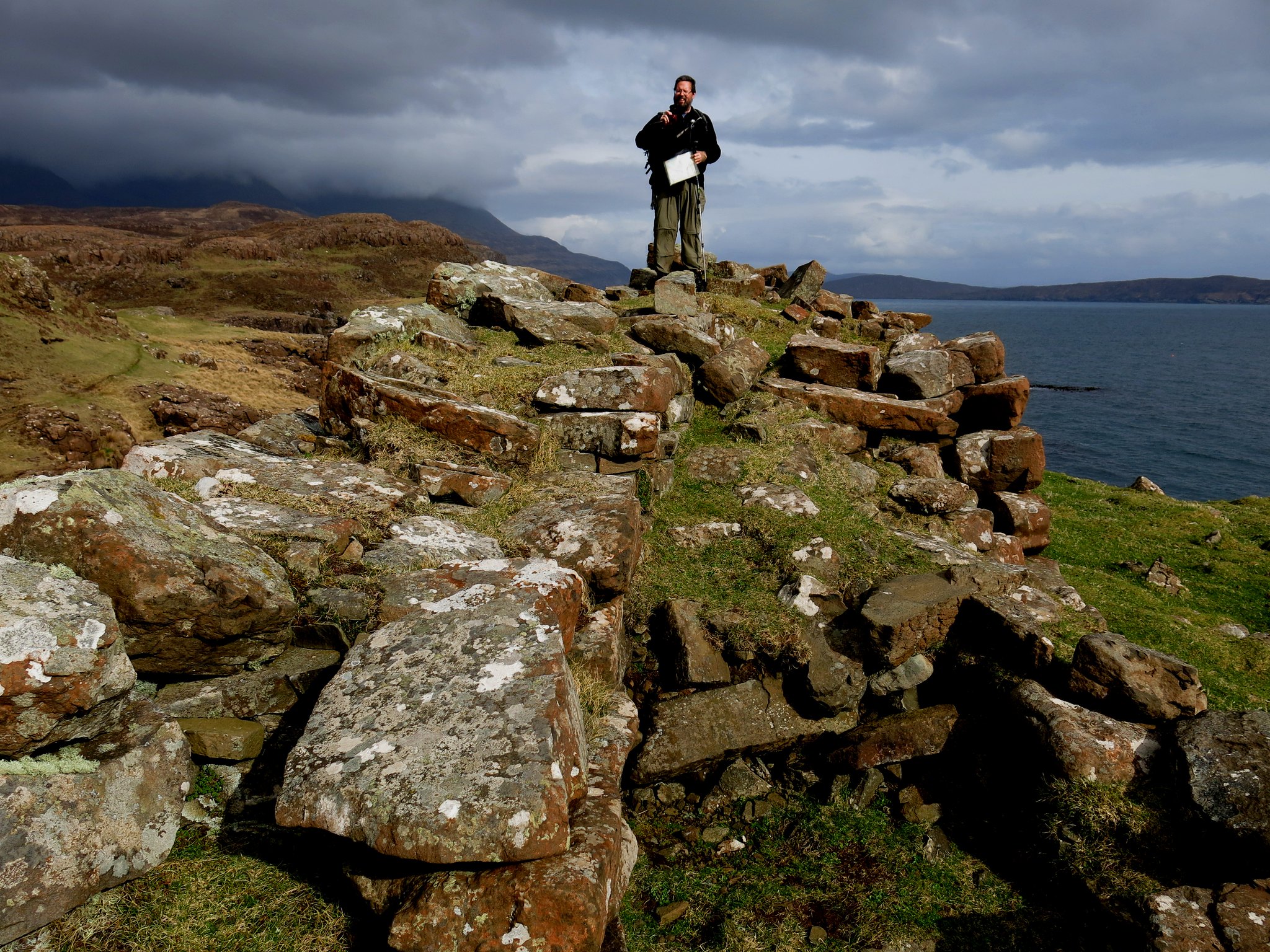
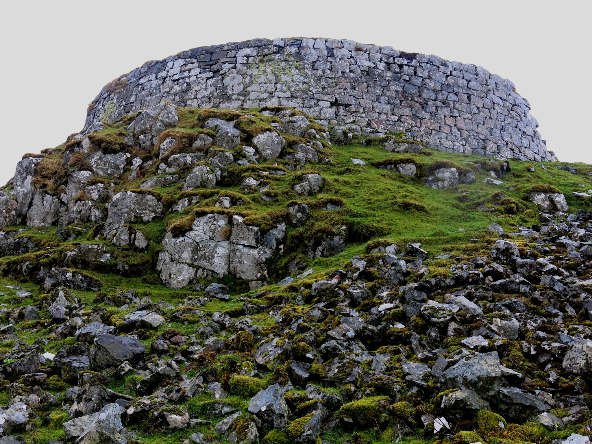
On a headland above the canal there is, just like in the Canadian Boat Song, a "fortified keep". From below, the fort looks like a single big well-constructed wall, which is exactly what it is: a promontory fort.
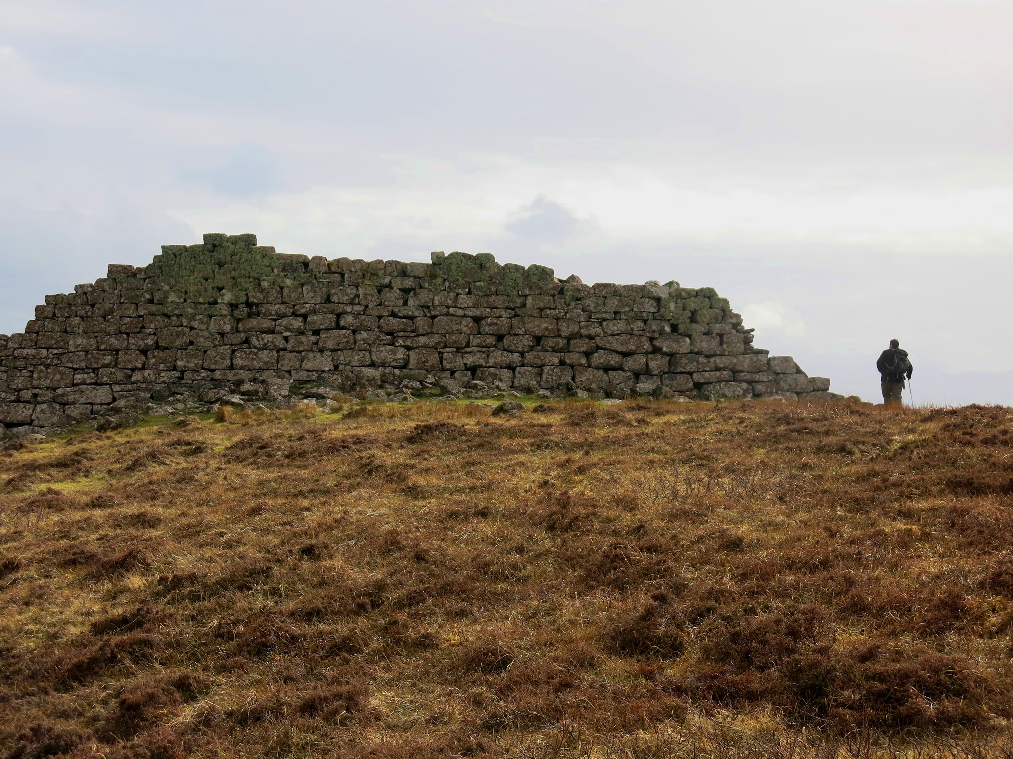 IMG_6070
 by
Half Man Half Titanium, on Flickr
The wall protects the landward side: the seaward sides are already defended by cliffs. I've seen promontory forts before, mainly in Pembrokeshire, but none with such a well-preserved stone wall.
 IMG_6071
 by
Half Man Half Titanium, on Flickr
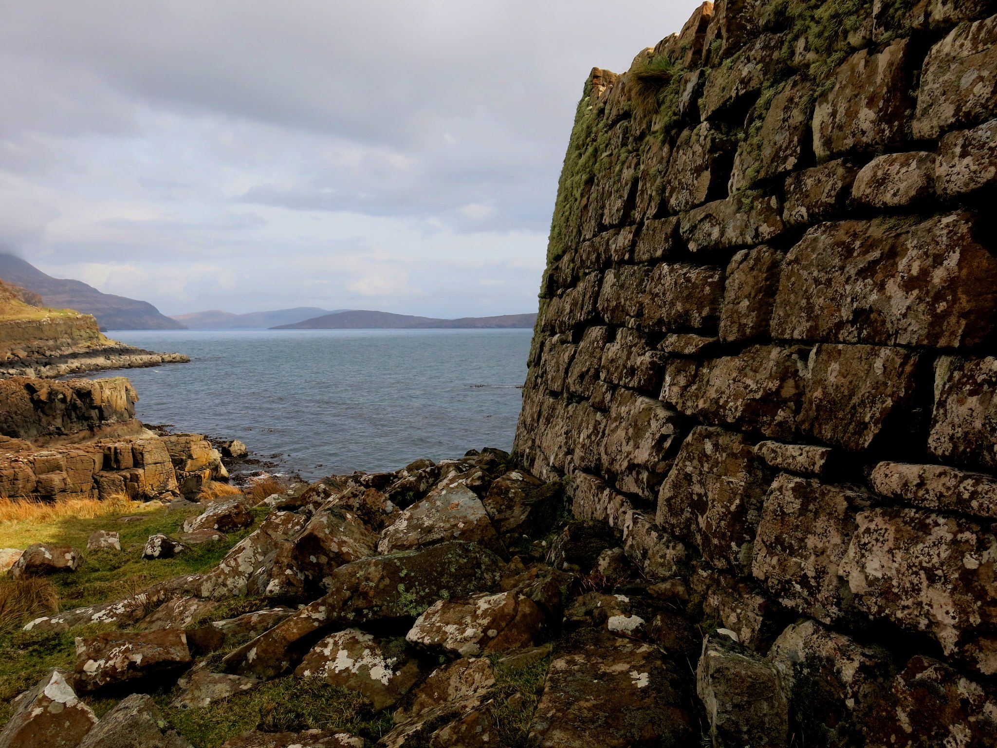
The web page linked to at the top of this TR says
"One of best preserved survivals of an Iron Age promontory fort (or galleried dun), with a portion of curved drystone wall to landward, possibly 1st millennium bc"
 IMG_6073
 by
Half Man Half Titanium, on Flickr
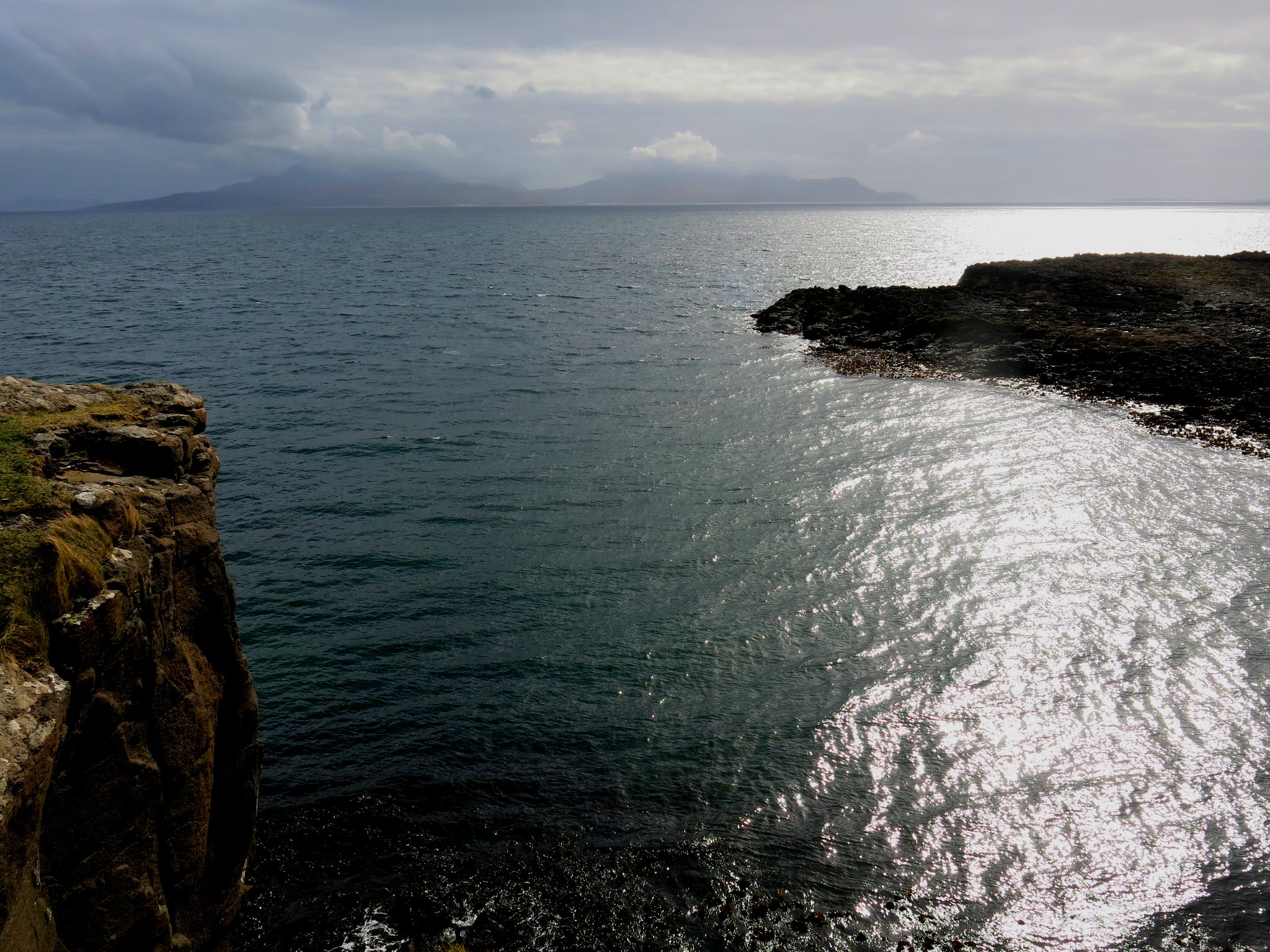
Rum from the promontory fort.
 IMG_6081
 by
Half Man Half Titanium, on Flickr
The canal from the fort.
 IMG_6084
 by
Half Man Half Titanium, on Flickr
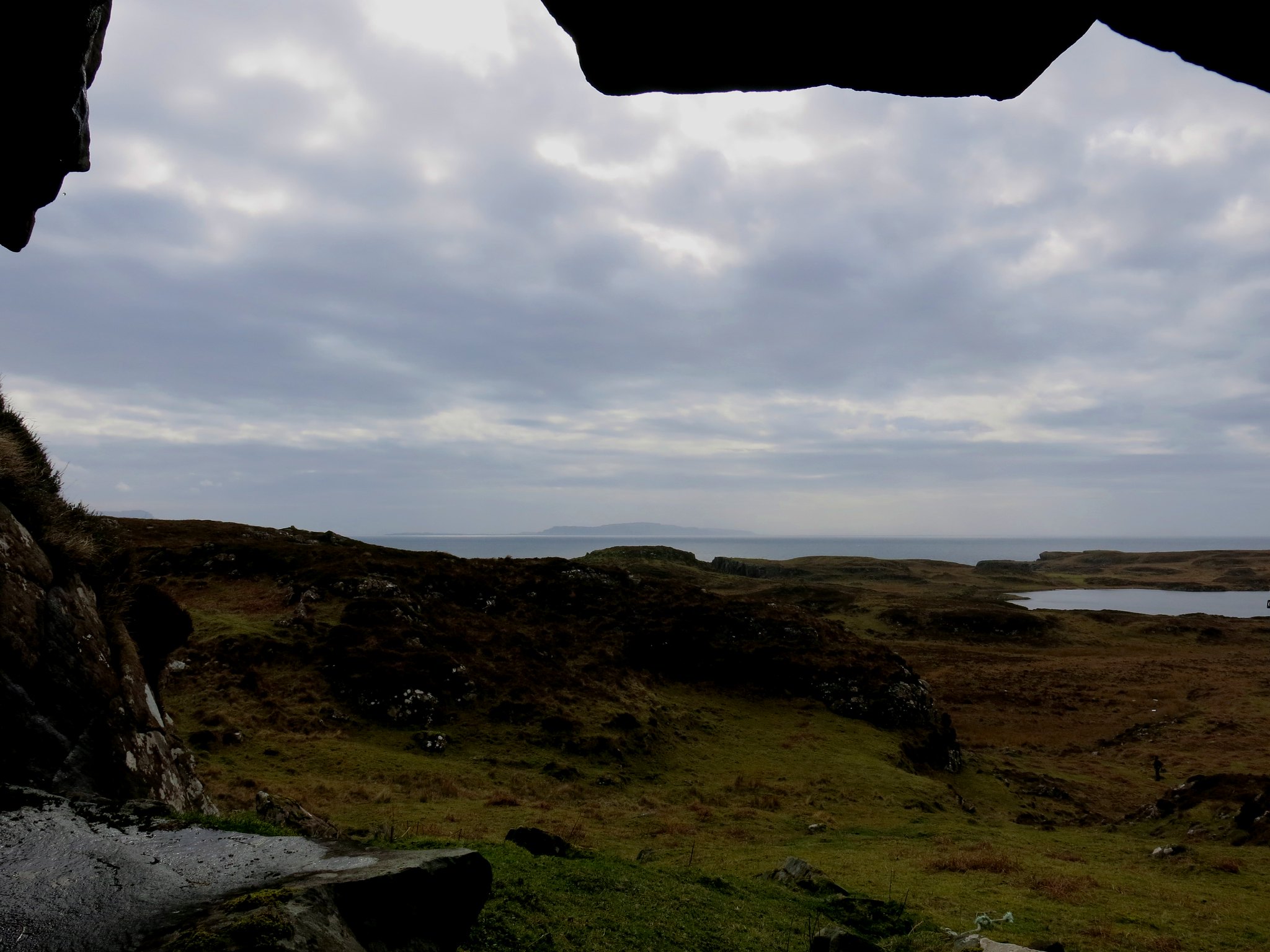
The next point of interest marked on the map was a small cave - "a cave, excavation of which in 1932 revealed Beaker pottery and a later iron forge with slag." We didn't find much to see inside it, although the mouth of it gave a good view back over the headland.
 IMG_6085
 by
Half Man Half Titanium, on Flickr
From here we followed a track inland, past more ruins, until we reached a more substantial ruin which I didn't realise at the time was the Clan McAskill family home. I didn't take a photo, silly me.
From here on another slightly soggy area led easily back to the track and the route back to the car park at Glenbrittle. All in all a great day!
The following day was monsoon conditions, but we did go to Talisker Bay (soaking wet, no photos) and to the broch at Struan, which I'll add in here. Although apparently much more ruinous than the famous ones at Glenelg, I was still impressed with this.
 IMG_6112
 by
Half Man Half Titanium, on Flickr
Rubh' an Dùnain is not a full day walk, and the broch is a fairly quick drive from Carbost or Glenbrittle, so for a wet day I'd recommend combining the two. There is also a cafe in Struan although it was closed the day we were there. Here's a last couple of photos inside the broch.
 IMG_6119
 by
Half Man Half Titanium, on Flickr
 IMG_6121
 by
Half Man Half Titanium, on Flickr
