free to be able to rate and comment on reports (as well as access 1:25000 mapping).
THIS WR HAD FALLEN FOUL OF THE CURSE OF PHOTOBUCKET, AND ALL MY PHOTOS WERE STAMPED. i HAVE REPLACED THEM WITH FLICKR PHOTS. BUT DON'T BOTHER TO COMMENT, AS IT HAS BEEN POSTED ALREADY
We had been in touch with Mervyn Jack, an island bagger, who hoped to keep down costs by filling boats to various islands around Lewis. Were we interested? Of course we were. Mervyn had come up with the following plan. I only include the islands that are of interest to us, not the list of islands the island baggers and the lighthouse baggers wanted
Saturday, May 20th Stand by day for Pabbay in case Sunday looks bad
Sunday May 21st Pabbay
Monday May 22 The Shiants
Wednesday May 24th Scarp and Taransay
We then arranged to go to Cipeagil Beag with Shaun from the Scamadale Centre. It all seemed a very satisfactory programme.
Luckily we had booked well in advance as folk from Skye had told us they had to get tourists accommodation inFort William on one occasion with everything between booked up, as it is now so popular. Of course we could have camped.
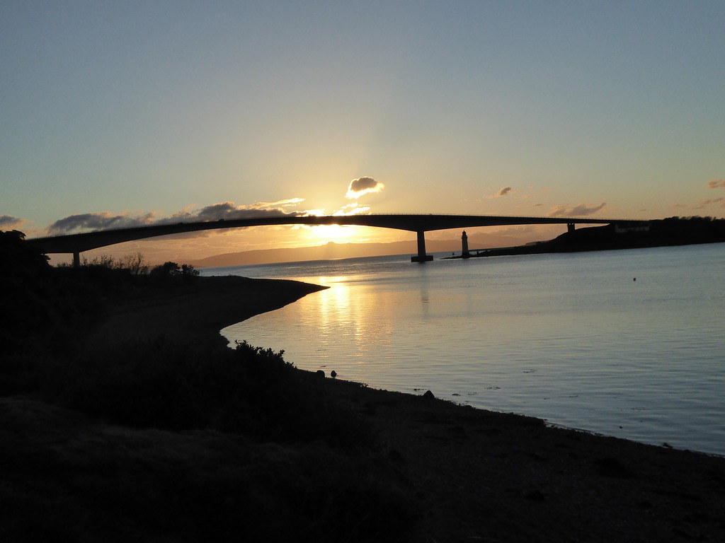
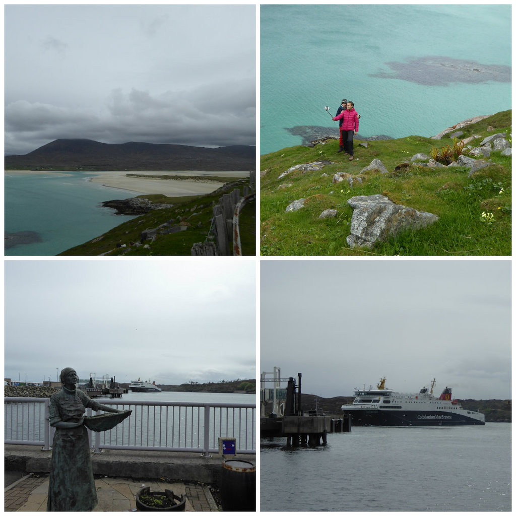
We ambled across to the Uig ferry taking photos
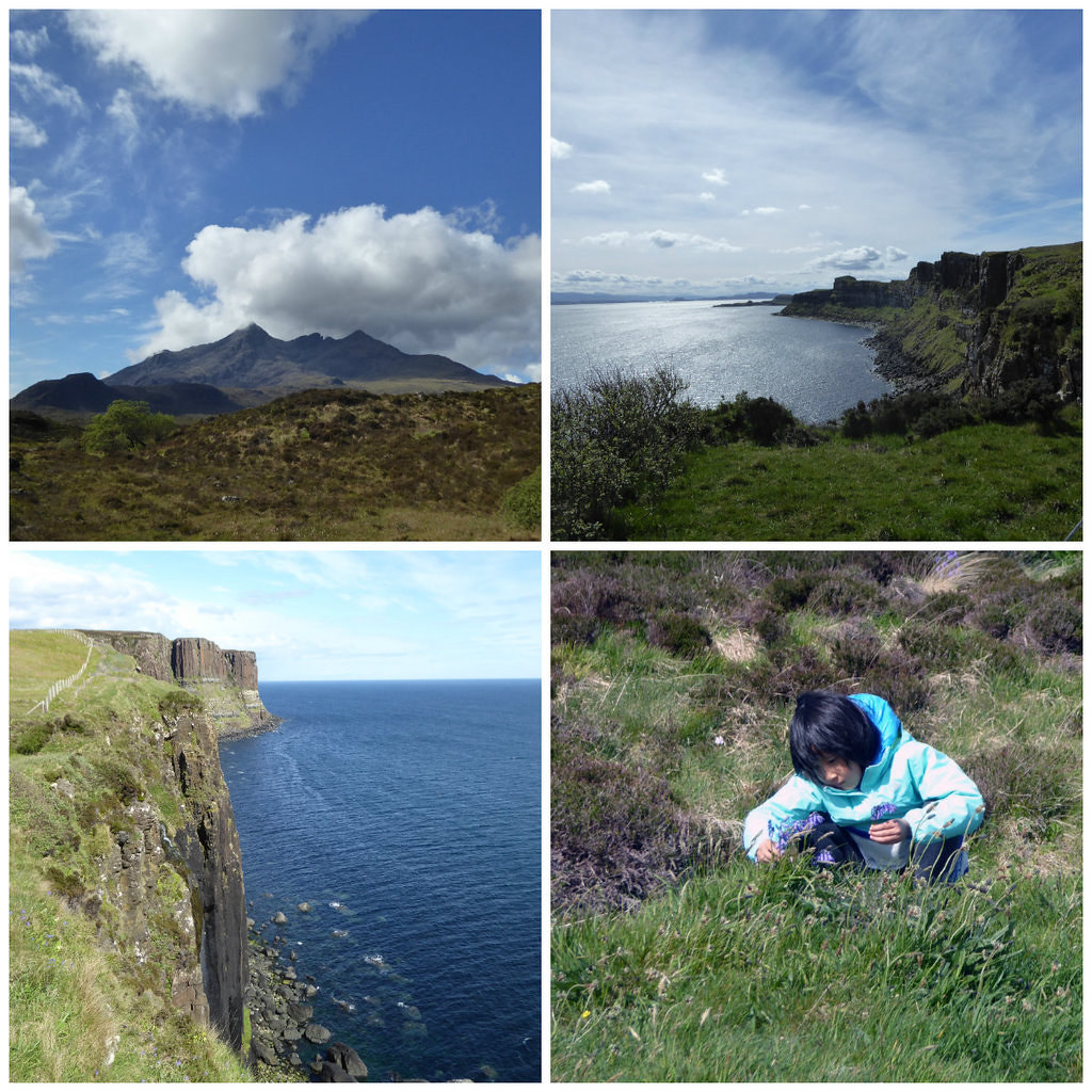
Then, once on Harris, ambled across to our B & B. doing the same
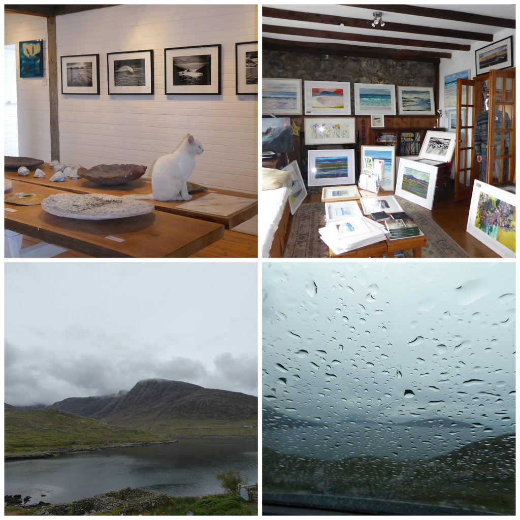
Mike, at the B & B often takes the boat across to St. Kilda for Seumas of Sea Harris, but hasn’t lately as his wife has had a foot operation. He took a look at the maritime forecast and gave us very poor odds for getting across to Pabbay. We had an email from Mervyn that Saturday was off. Stand by for Sunday. Saturday looked like a day for the galleries. We even bought a modestly priced picture, taking the view that this will mean less for T. May to scoop up in Care Home fees eventually. Are other pensioners blowing the government’s inheritance by squandering cash on expensive boat trips and pictures?
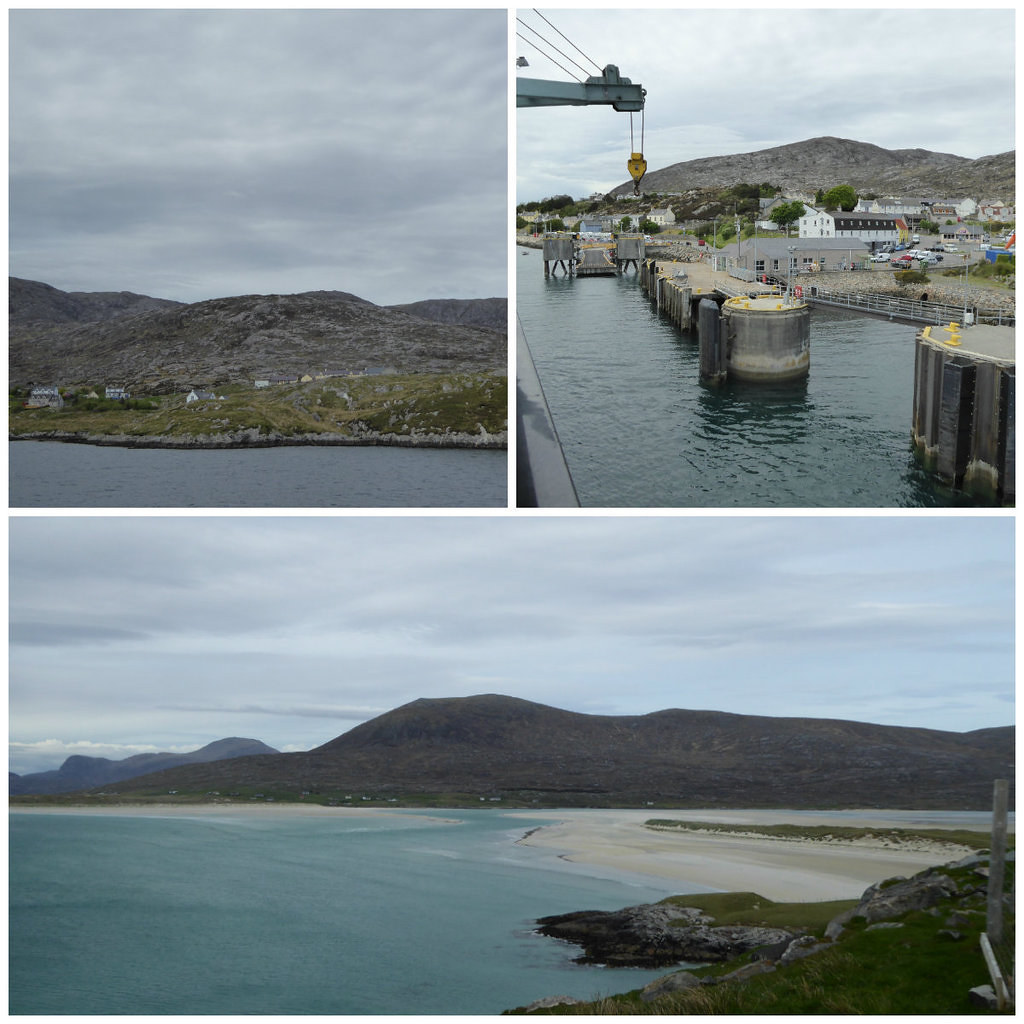
We arrived back to the news that Sunday’s expedition was likewise cancelled and could not be re-scheduled. We wandered across to our next base in Stornoway via the Temple.

The forecast for Monday meanwhile, once good, had been getting dodgier and dodgier. We were to meet at Lemreway jetty and take a decision there.
Does anyone know how this equipment works, seen on Lemreway jetty?

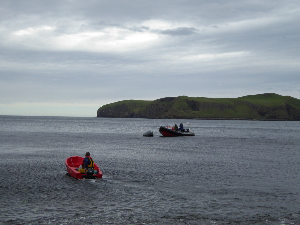
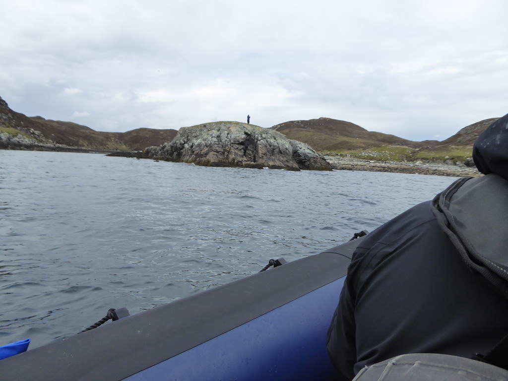
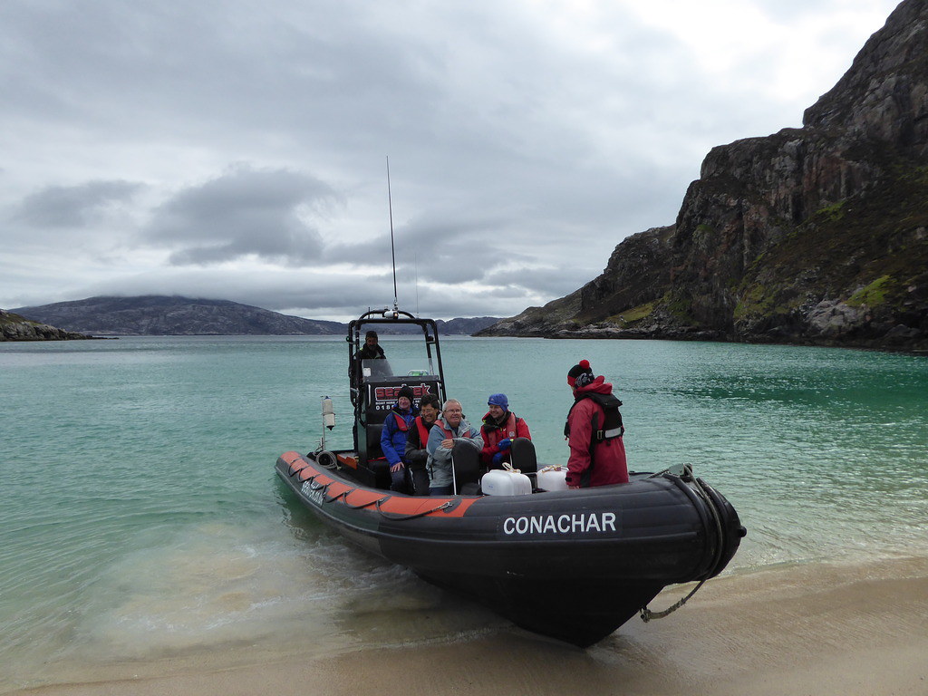
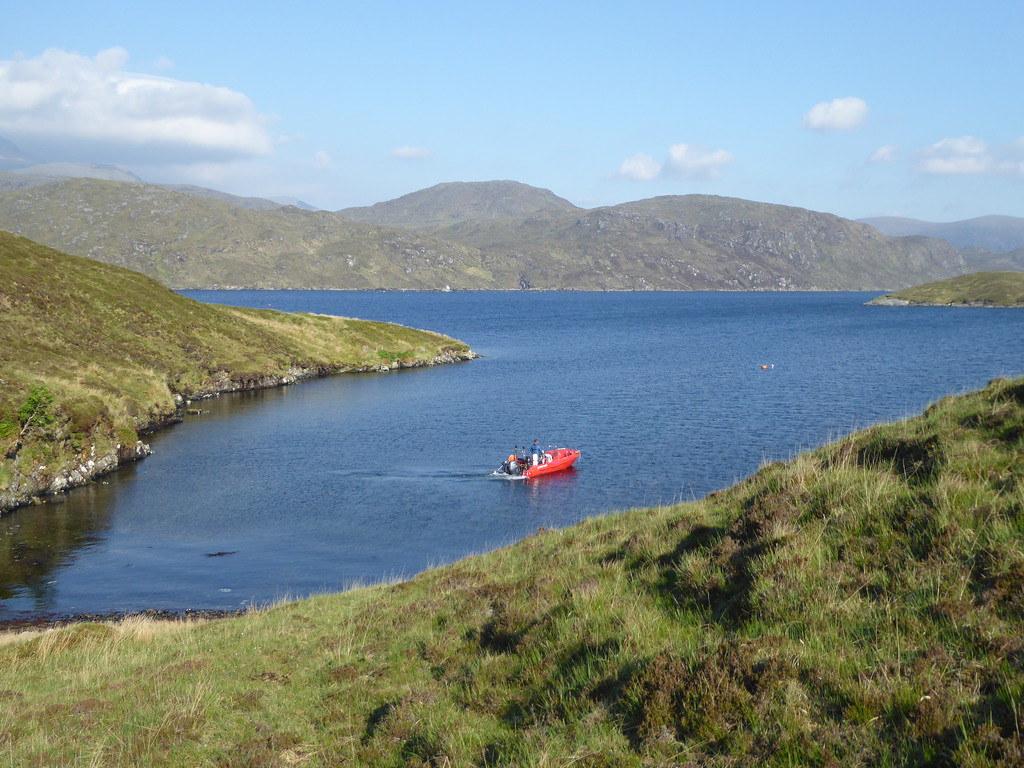
The RIB arrived from Stornoway
http://www.engebret.co.uk/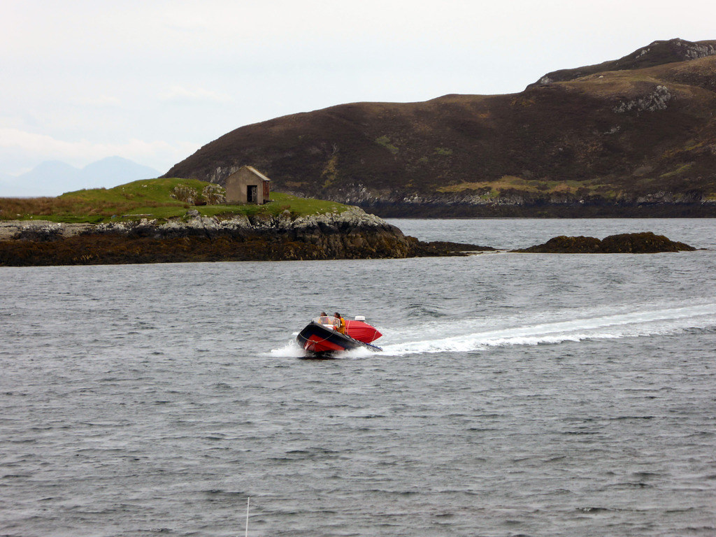
The boatmen told us that they had a really rough trip around the coast and it was up to us whether we came or not. They eyed the 6 month pregnant member of the expedition who wanted to take photos of light houses and suggested that it would really not be a good idea if she came. Once she and her husband had opted out, they seemed marginally keener on the trip and said “Well, you’re not going to die, you could give it a go.” Two other members had simply not turned up. It later transpired that they couldn’t get wi fi or phone where they were staying and hadn’t realised the trip might still be on. They later went home before trying anything else.
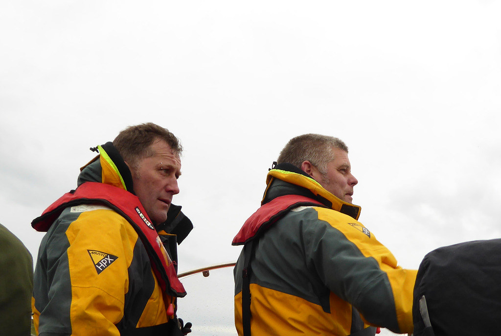
This left five of us, Mervyn and a guy who had brought his rock climbing brother along to help. We decided to go.
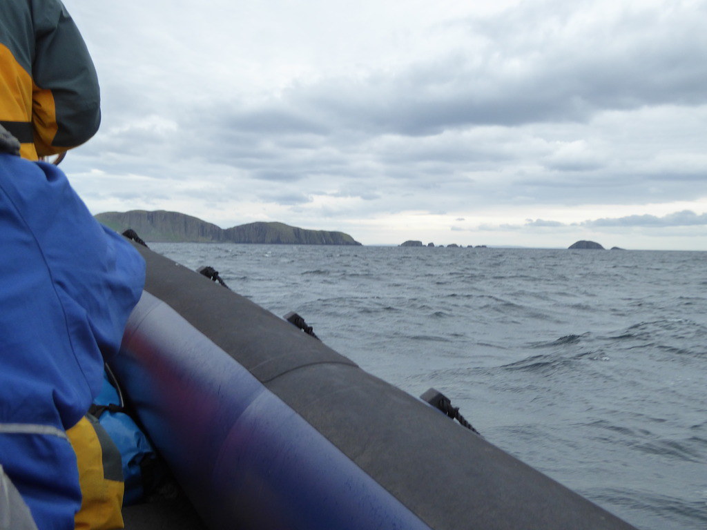
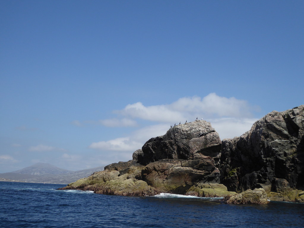
As we entered the more sheltered waters hundreds of razor bills and a few puffins took to the air.
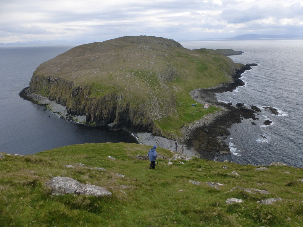
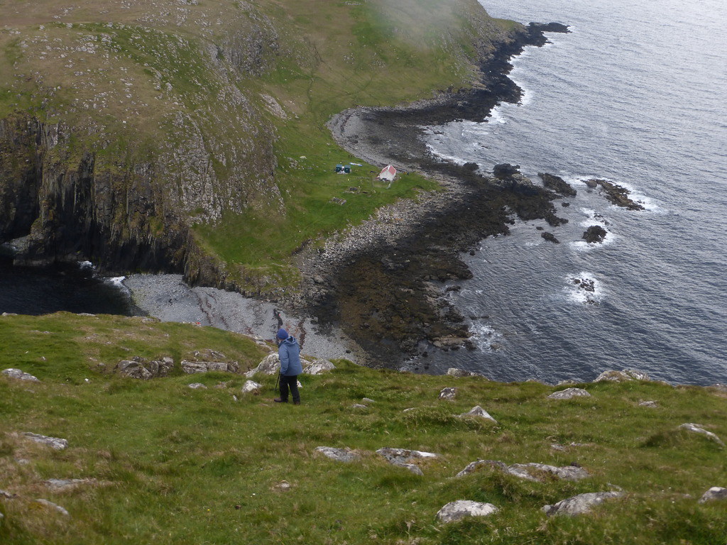
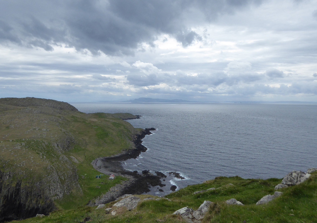
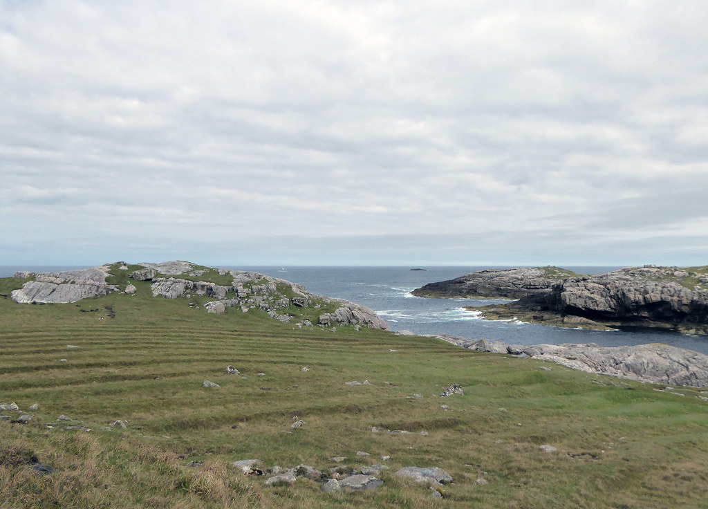
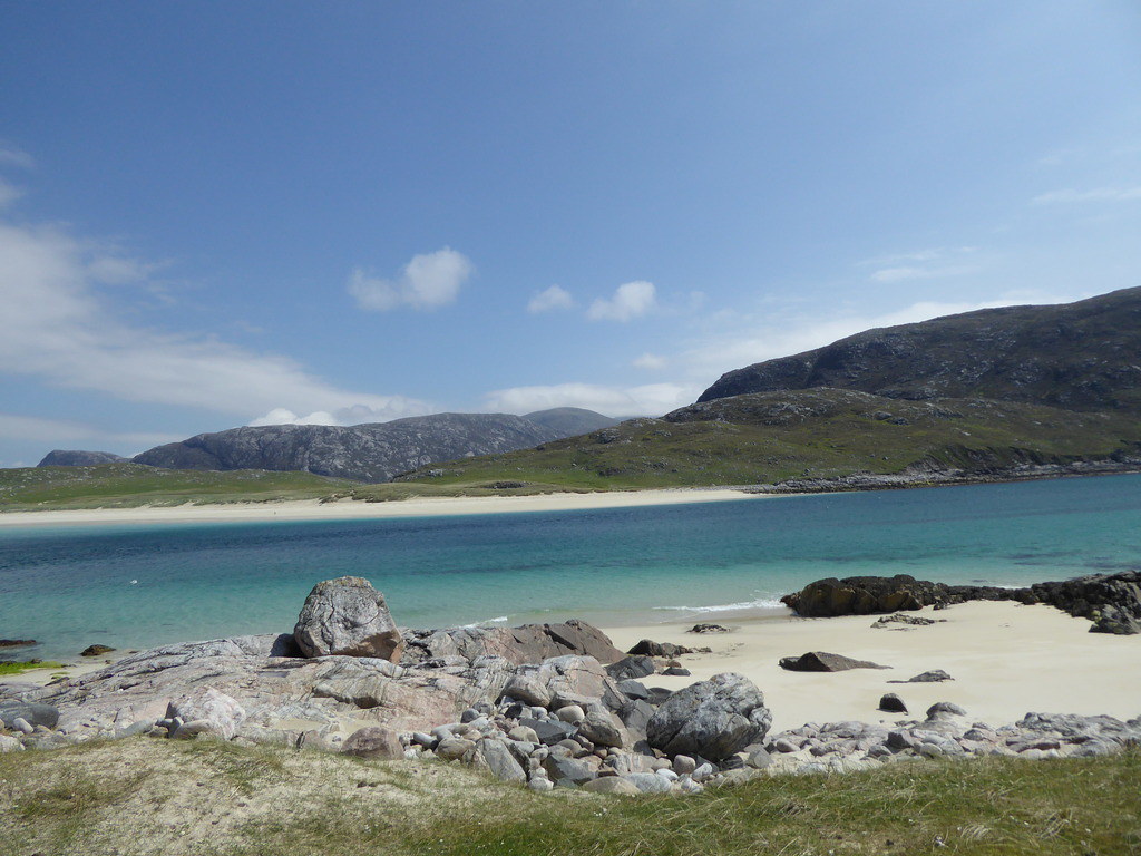
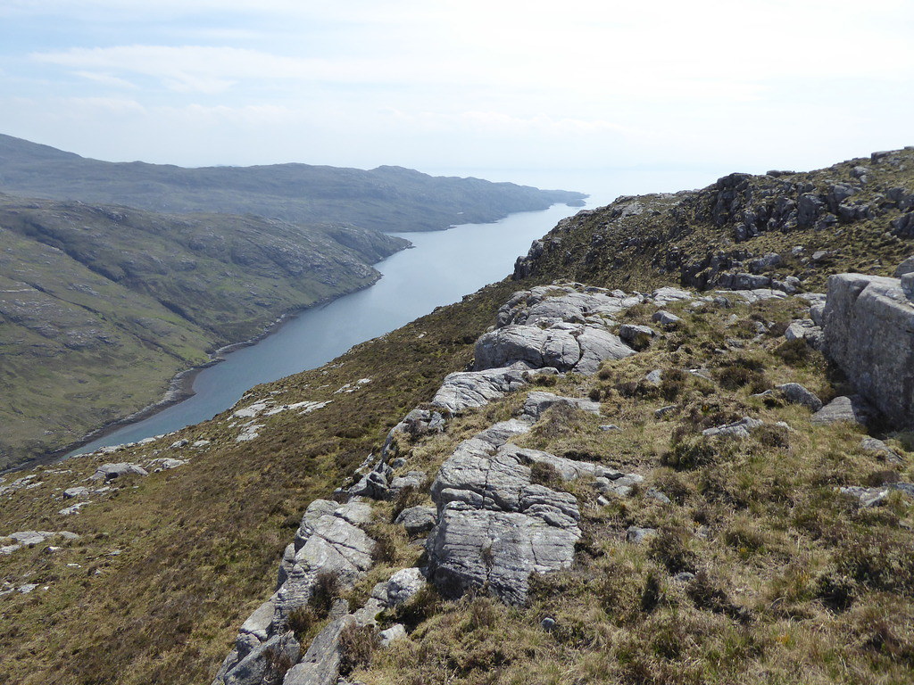
The two islands are joined by a big shingle bank and we landed on that one at a time in the small dinghy
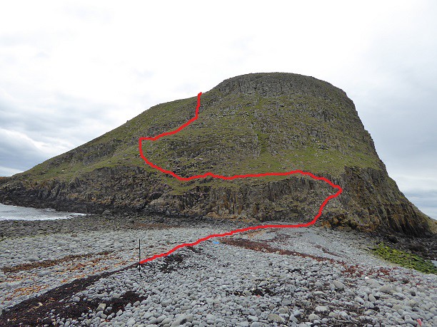
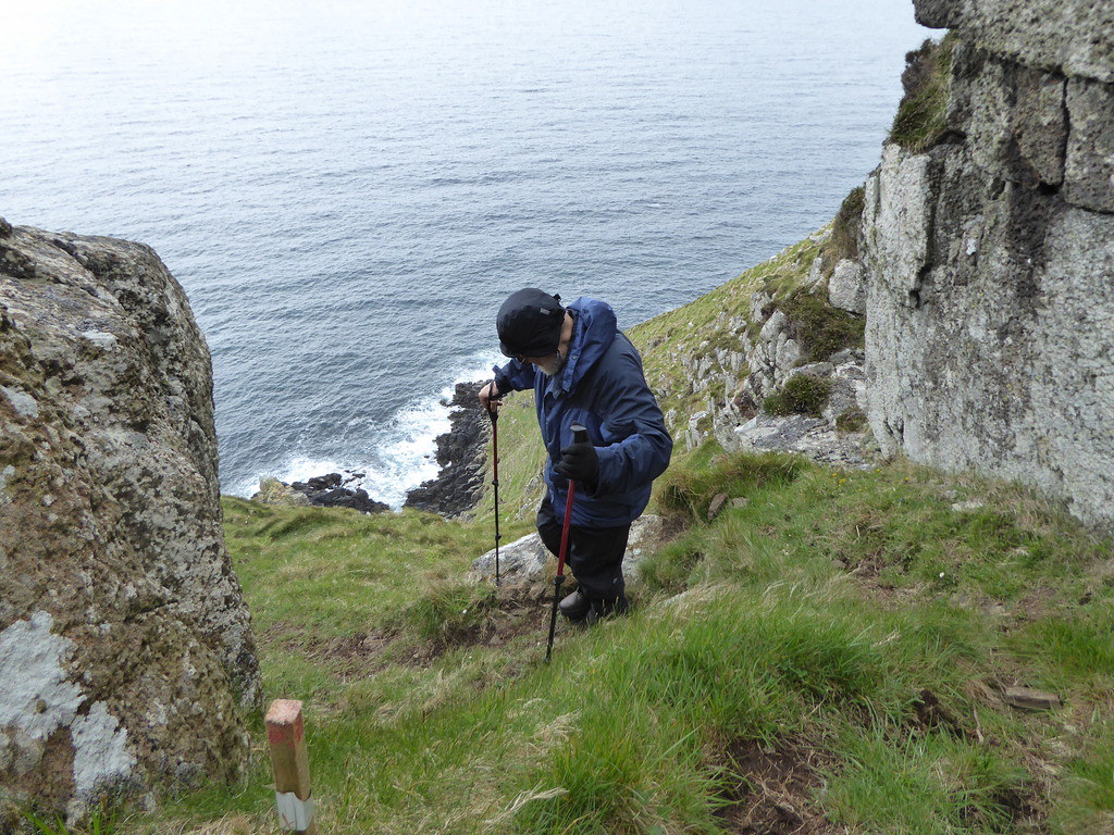
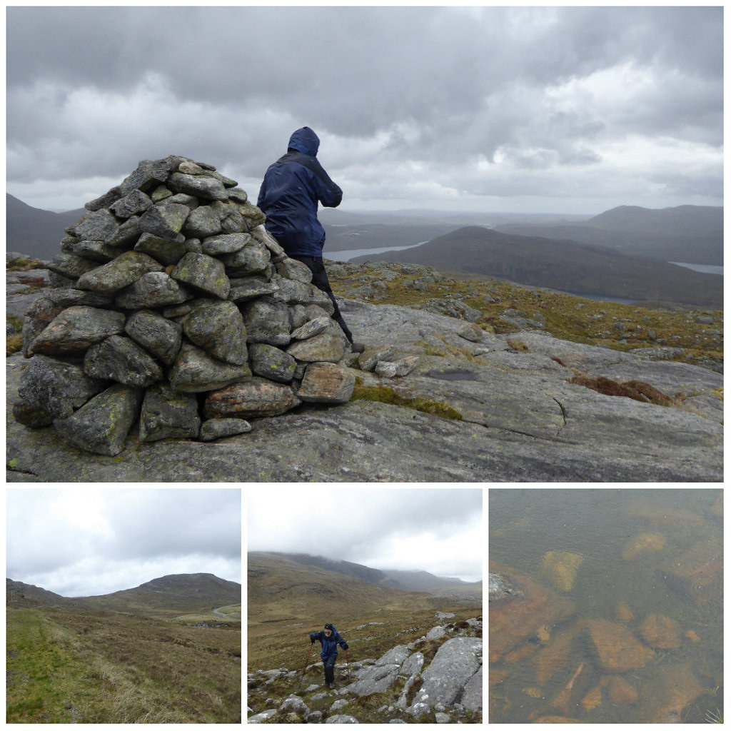
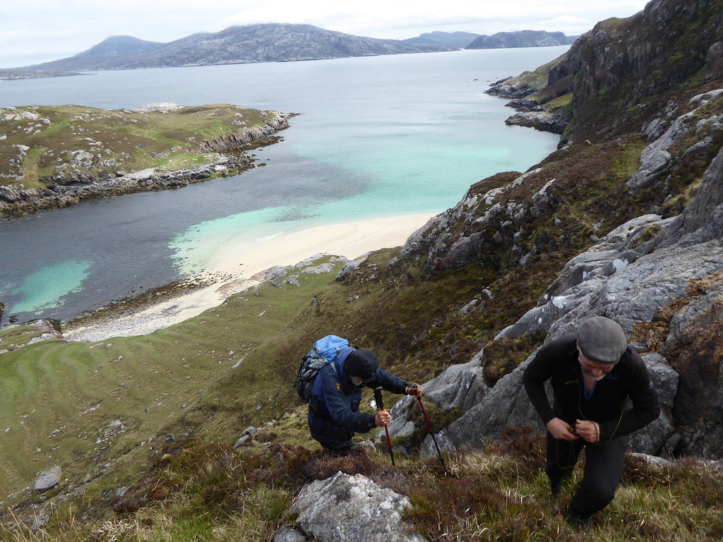
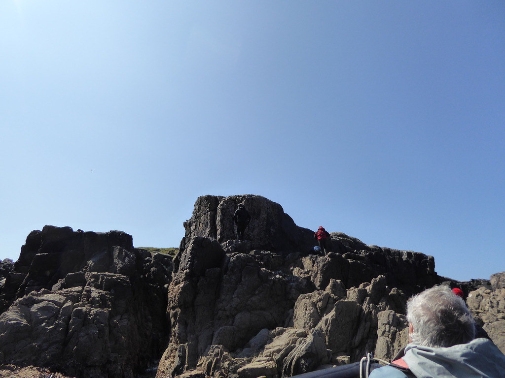
The husband of the light house lady had been before and had offered to show us where the path up started. In his absence, we turned to the boatmen who had seen which way others had gone. I think I more or less got the route. The best way up is via a grassy gully, but as it lands in the sea, you have to climb across the cliff to get at it.
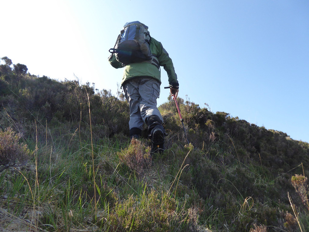
We hadn’t done anything like this for a while, (Photos from R)

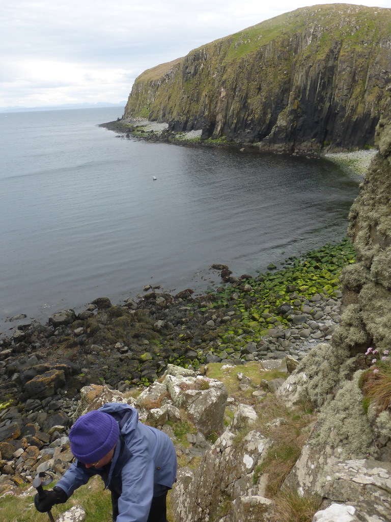
Though we did not need help were glad that rock climber Grant had come along, as it gave us confidence
A photo back down the grssy gully so that I could identify it for our return

Looking back once we were more secure
Below, our boat (Photo R)
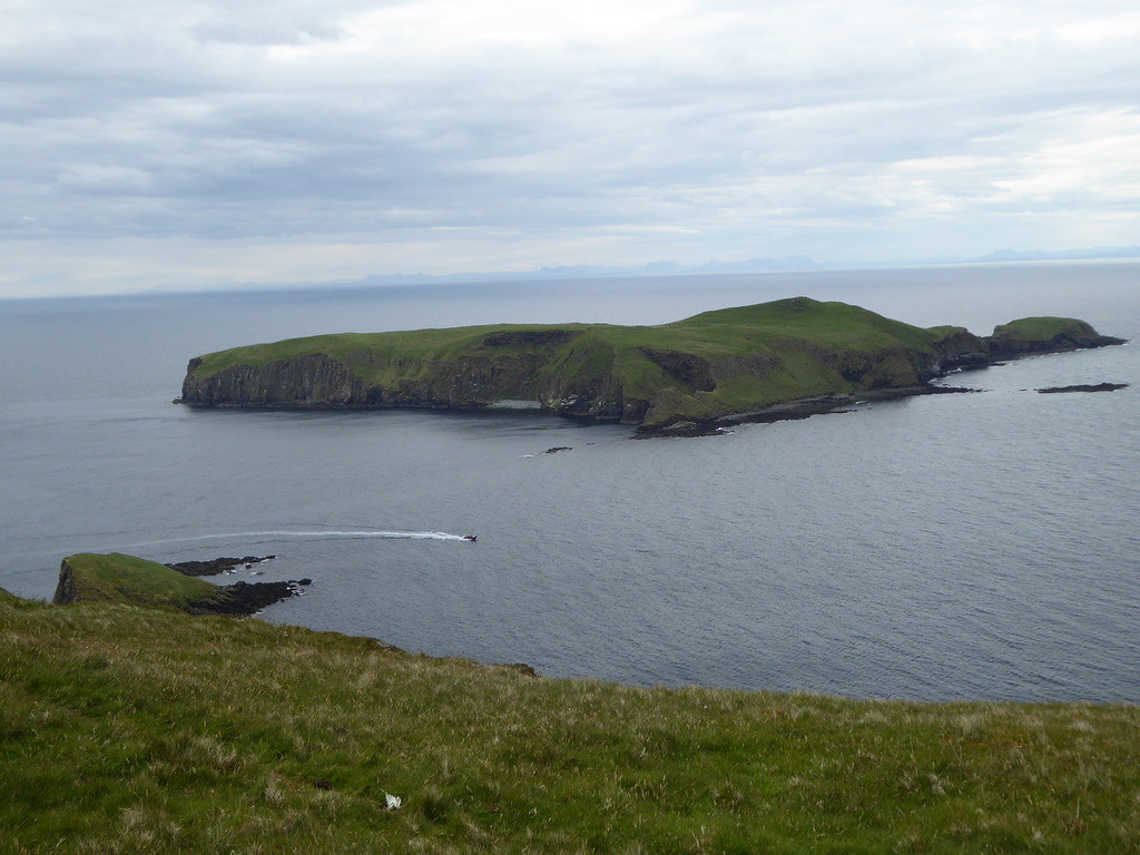
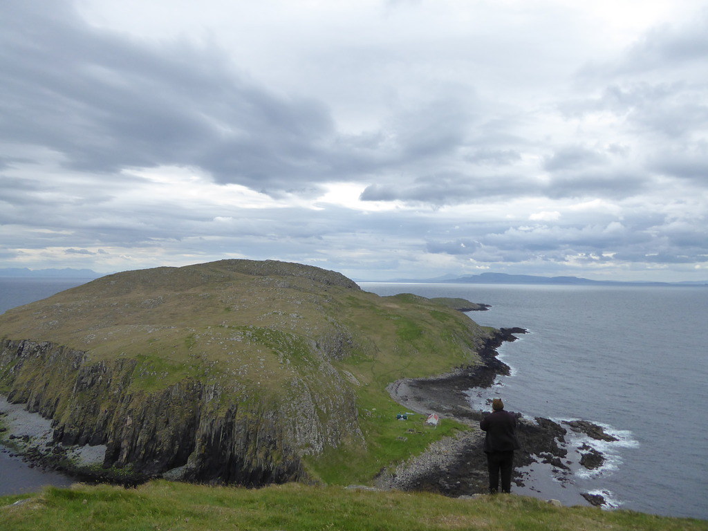
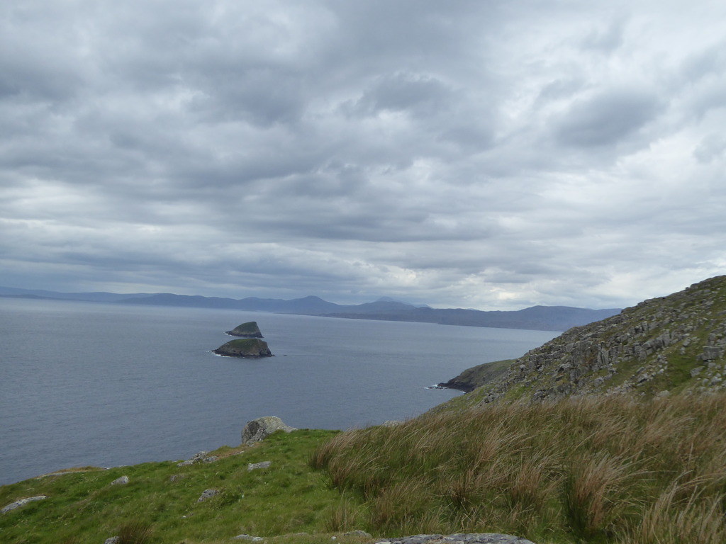
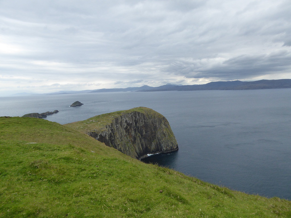
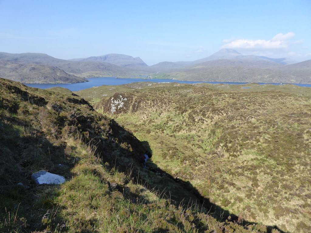
Small islands
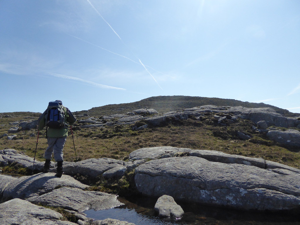
Once on top it was a stroll over an intermediate bump via some inquisitive but not yet aggressive bonxies

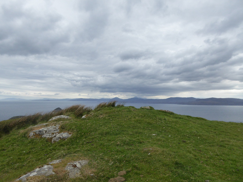
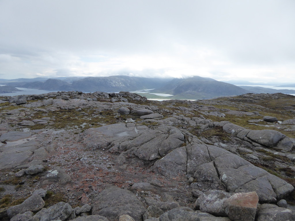
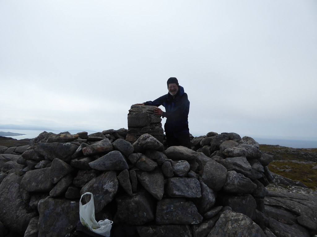
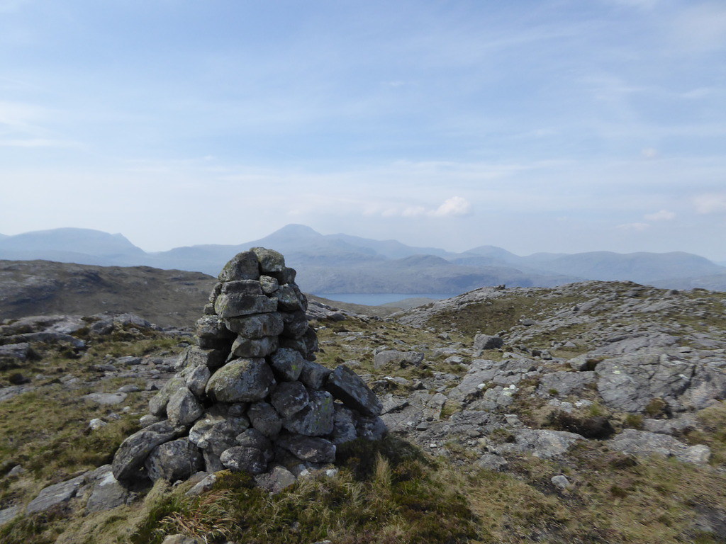
We arrived at the summit, which had nothing to mark it
Mervyn coming back after an island bag(Photo R)

I tried to return the wrong way, as some bits below looked very much like the place we had come from,
But R kept me going in the right direction (Photos R)
R descending the grassy gully
Mervyn and the two boatmen were standing up and trying to see if we were coming down
Once on the cliff, I came down too soon, and we had a rather hairy descent via steeper bits than we wanted. As we had our rainproof trousers on we could have easily slipped down at speed without our sticks.
As soon as we were in the boat it started to rain heavily.
Mervyn had been away island bagging while we were up the top, and got another on the way back,
Then took the boat by himself to get some others. His version of bagging means he only has to set foot on an island, unlike others who have to get to the top, and yet others who have to sleep there. Mervyn’s islands must be called “Island” and must have grass on.
Distance 2 miles 670 feet
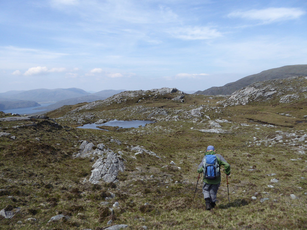
On Tuesday May 23rd, for lack of anything more to do, we went down the road to Huishinis whence the boat would be going ……if and when it went. We had already been told that it would be rescheduled to Thursday and had re-arranged with Shaun that he would take us across Loch Seaforth on Friday. A good thing we weren’t in a hurry as a whole herd of cows were ambling slowly along the road.

In the afternoon we climbed Cleit Aird in wind and showers
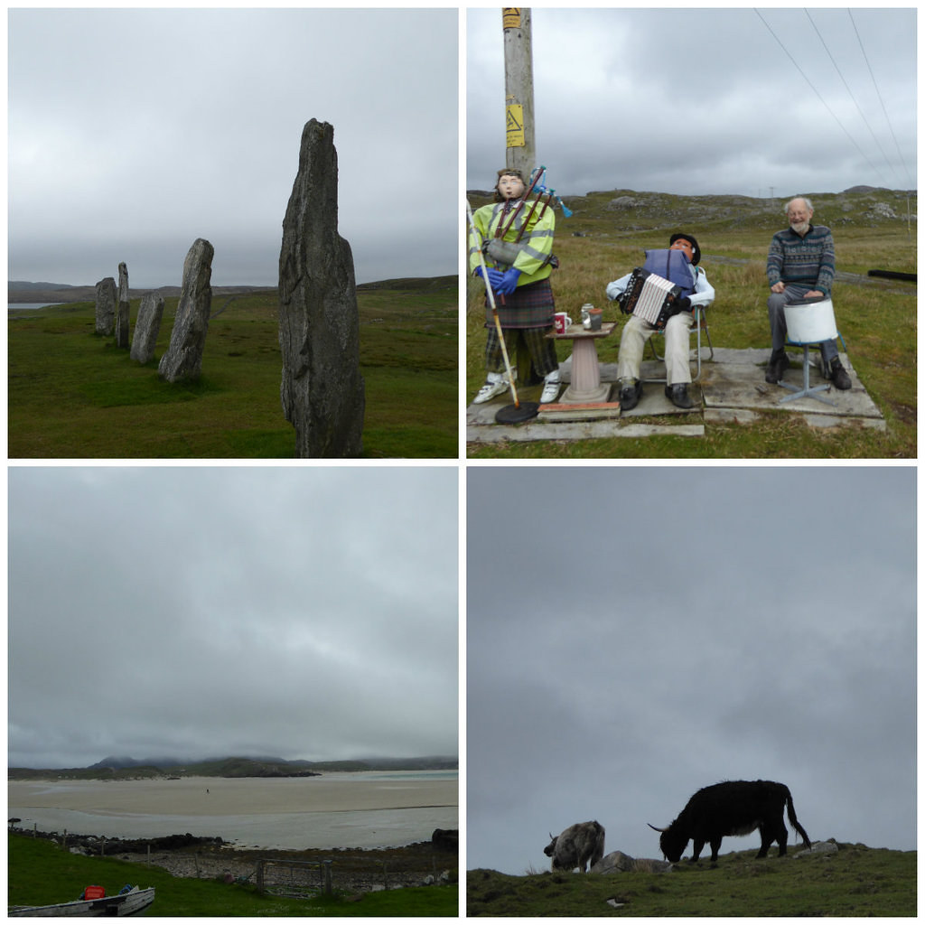
Wednesday was another poor day, when everything was cancelled, and we decided to go across to Uig. En route we diverted to Callanish for the umpteenth time and later met up with some old friends. Last time we had visited, the central figure had been removed for an op. but it doesn’t seem to have done him much good.
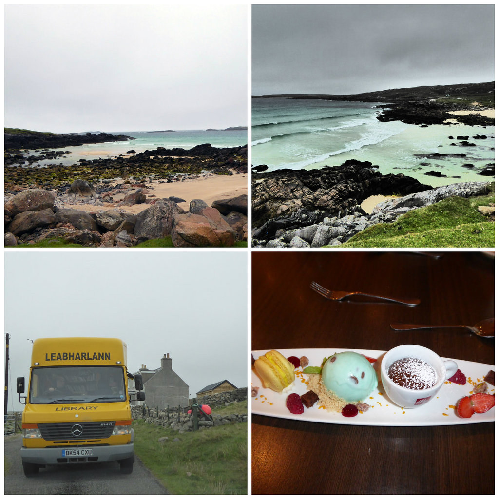
Then we trundled up the coastal road. At one point the dial on my camera moved and I found it stuck on “Create”(top right), with a whole lot of photos ruined. To cheer myself up, I had my one and only pudding of the trip that evening, but at least we had a text to confirm that tomorrow’s trip would be on.
On Thursday May 25th the boat men, this time from Sea Trek
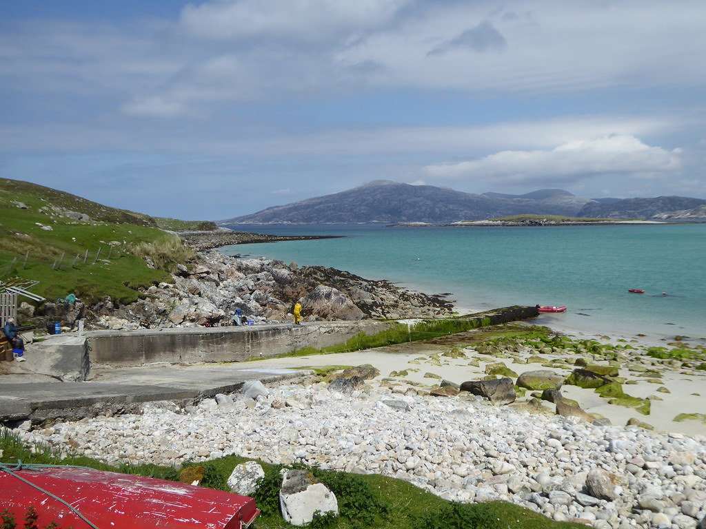
http://www.seatrek.co.uk had picked us up at Husinis jetty.
They dropped us off plus Grant to do a traverse of the island at the beach at NS 964167.

Looking back
The cliffs were quite steep, and turning down an ascent of the waterfall (which we were later told by the owners of the house was the standard route)
We went a bit to the west and managed to climb up there
We gave a great display of incompetence to rock climber Grant with our dodgy knee and bad shoulder.
However, he cheered us up by saying that his Mum, approx. the same age, hardly gets out of the house. We reached the summit of Sron Romul about 1 hr 20 mins later (we had been told that the fastest traverse had taken less that that in total with the previous group).
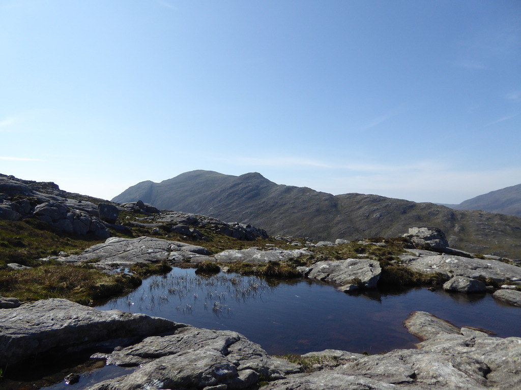
Lochan


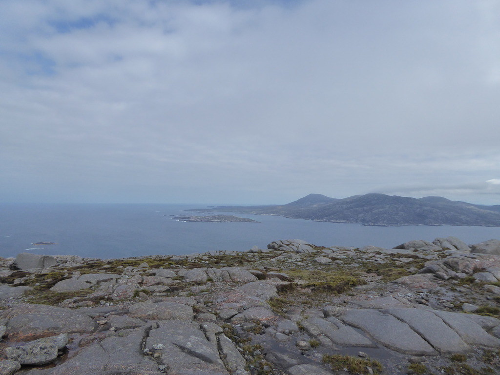
From the summit
Below, from the descent

We were down in three hours total and sat and chatted to the owners of the house who arrived by a small inflatable a bit later.
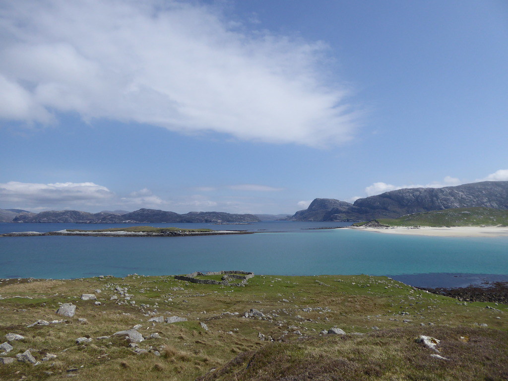
Buildings on Scarp

Looking across to the beach near Huisinis
A guy in a campervan at Huisinis told us that he had taken photos of two men in wet suits edging round the beach until they were opposite the jetty on Scarp, and had swum across and then climbed up until they were on the gable-end of a derelict house. However, desperate, I don’t think I will try bagging that way.
We had to wait another hour for our own boat to return. Admittedly, they probably calculated that it would take R and I a long time to do, and didn't want to waste bagging time sitting around on the beach waiting for us as they had on The Shiants

By this time it was deemed too late to do anything than go and bag another small island, and Taransay would have to be put off for another time.
Below, bagging an island
Up they go
On the summit

And back again

Below, some folk bagged it first
This is the problem of sharing a boat with people who have differing agendas, you are never sure how much of your time might have to be sacrificed to the interests of others. However, we were very grateful to Mervyn for giving us the opportunity to come along, regardless, and island baggers and lighthouse baggers outnumbered us.
We walked 2.25 miles and ascended 800 feet
On Friday May 26th I began to wonder if we should cancel the trip. I had eaten a dodgy fishcake and been up all night. However, today’s trip was to be very leisurely as Shaun would take us across Loch Seaforth before work at 8 a.m. but would be unable to collect us until 6 p.m. so even if I walked at a quarter of my usual pace, we should be able to manage it. So stuffed with immodium I decided to give it a go.
Shaun had asked if we minded sharing the boat with Carole Engel who hoped to do six hills in Pairc. We thought this was a bit ambitious until we googled her
http://mappingmountains.blogspot.co.uk/2015/04/carole-engel-completes-y-pedwarau.html and realised she is the first woman and only third person to have completed Y Pedwarau, the 447 hills above 400 metres in Wales.
Shaun dropped us off
We soon passed the ruined house where a footpath leads towards Ben More, but soon disappears.

Carole vanished towards Caiteseal and we set off plodding more or less directly towards Cipeageal Beag,
It is obscured for most of the time by its neighbour the mis-named Cipeagil Mor.
Looking back
I refused to climb the latter as I wasn’t feeling that good.
Looking over to Caiteshal which we climbed last year
on the horizon
As we reached the top, we met Carole who had already climbed Caiteshal
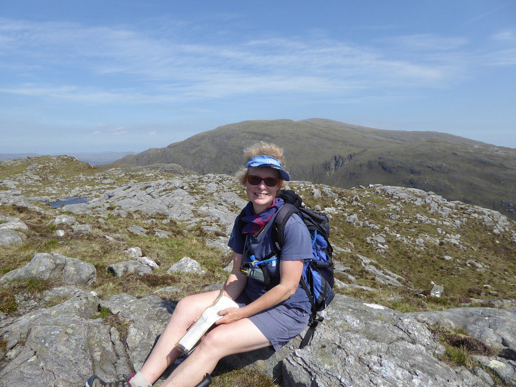
We chatted for a couple of minutes when she looked at her watch and set off briskly for Beinn Mhor.

"I never thought I'd say this," said R, "But wouldn't it be nice to be sixty again?"
I'd even accept seventy, " I said, remembering my
70th Birthday OutingCarole has had a new hip. Duracell should pack in that bunny and sign a contract with her. I got an email later
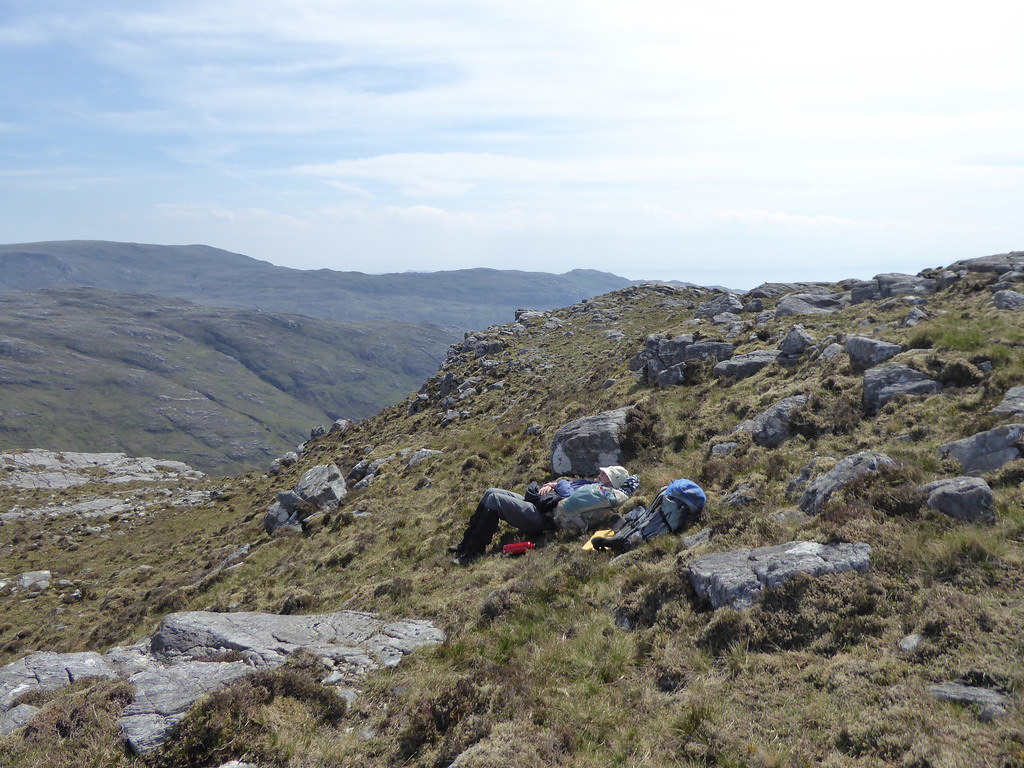
“Just to let you know that I completed the traverse of Pairc (six Marilyns) last Friday. Despite my misgivings about the wind (I have been blown off my feet head over heels in the past - just the once!), the "breeze" was perfect as it was such a hot sunny day (no rain thankfully). The windiest top was Guaineamol - number five. It was a superb walk in the wilderness and I just love all that climb and the amazing views but not the descents. Didn't see a single set of antlers but plenty of curious deer - very amusing to watch them watching me. Have to admit, couldn't have added a further top without slowing to a crawl. Took me ten hours.”Below, the summit, with Clisham behind
R pinched my camera as he had forgotten his, and went to take a photo of the deep drop between us and Beinn Mhor leading to Loch Claidh
When I woke up I searched all the intervening ground between meeting Carole and our picnic site, and came to the conclusion the camera was with R, who eventually returned.
We went back the same way.

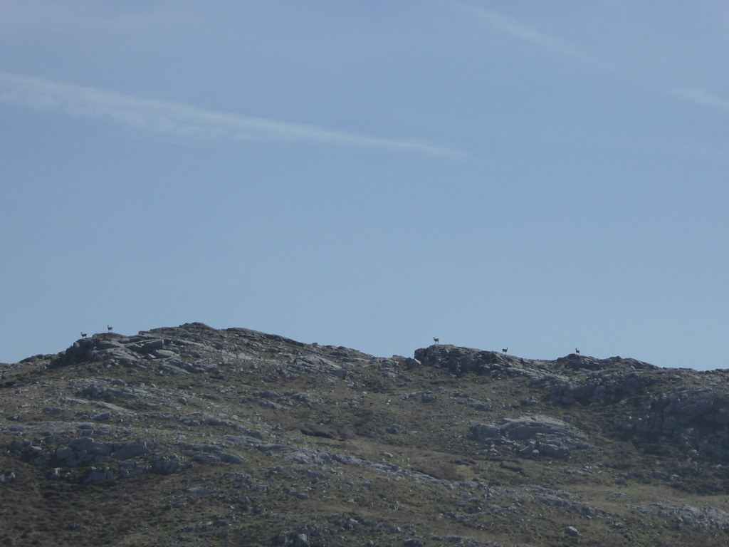
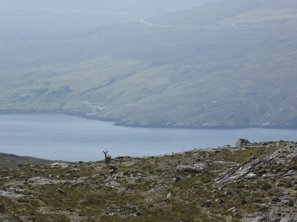
Saw a deer.
Back to the path
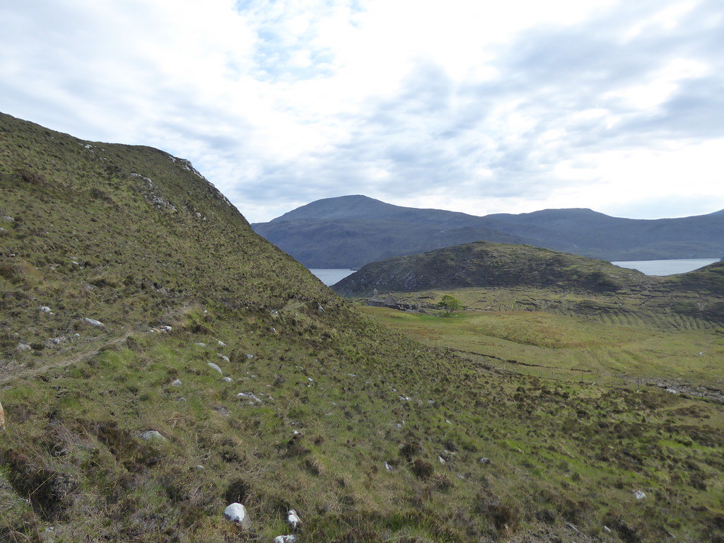
Back at the ruin, we waited for Shaun to come. (Clisham between the trees)

He made it half an hour early and we were soon speeding homewards.

Distance 2.8 miles 1102 feet
Although we only did three out of the five hills we hoped for, that is the nature of bagging hills on islands. However determined you are, and however prepared to go out in vile weather, the boatmen will not go unless it is safe. Nobody wants a report on Trip Advisor which reads "Bought my parents an anniversary trip to the island, unfortunately, the boat was wrecked and they have not been heard from since." 5*
The good news is that Seumas of Sea Harris has bought a new RIB with delivery imminent with the aim of doing other trips besides the one to St. Kilda.
