free to be able to rate and comment on reports (as well as access 1:25000 mapping).
The previous night before going to bed I'd done the daily tick hunt on my legs and found two of the beasts. Having removed a tick in a bothy the question is how to dispose of it? I wouldn't want it running around the bothy to latch onto me again! As I had a fire in the stove the obvious route was to burn it. Getting them off the tick removal tool into the fire proved tricky and my small removal tool had a bit of a melt down in the process. It would have been funny if they weren't so revolting. In the end I discovered some lightweight sticky tape in my first aid kit which I use to make a sandwich of the tick which, imobilised, could be disposed of easily.
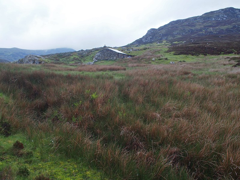
Anyway, back to the journey. I had slept well except for waking up to a burst of torrential rain in the small hours. After coffee and muesli for breakfast I tidied up the bothy, bolted the door and set off.
Leaving Usinis bothy
 OLYMPUS DIGITAL CAMERA
 by
Peter Lynn, on Flickr
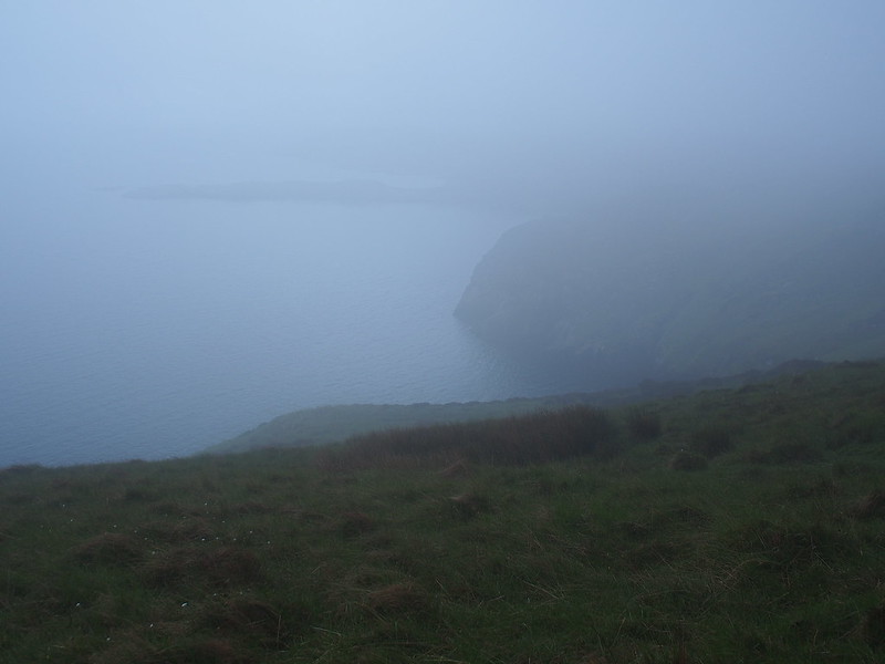
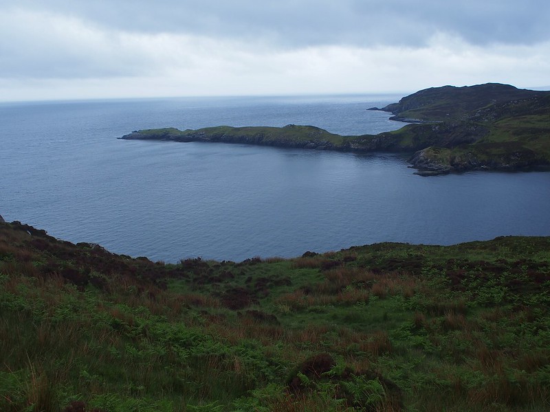
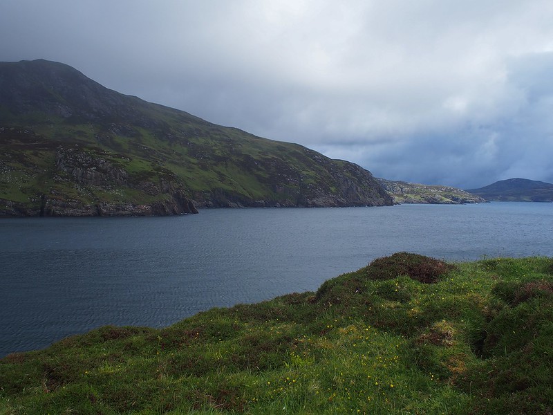
Looking back at the bothy I had a curious sense of loss. I had only been here a couple of nights.but turning my back on it was like leaving home. Maybe it was losing its shelter for the unknown ahead or maybe I'm just sentimental but it was an odd feeling. I perked up, as within ten minutes a white tailed eagle flew over the bay and spent time soaring over the slopes of Bein Ghot. The general route was obvious - sea to the left, mountains to the right. But, of course, the devil was in the detail!
Last view of the bothy and Usinis Bay
 OLYMPUS DIGITAL CAMERA
 by
Peter Lynn, on Flickr
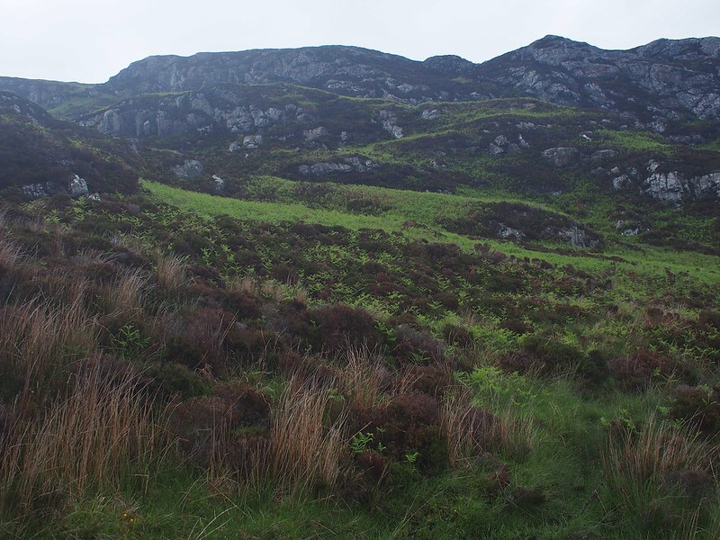
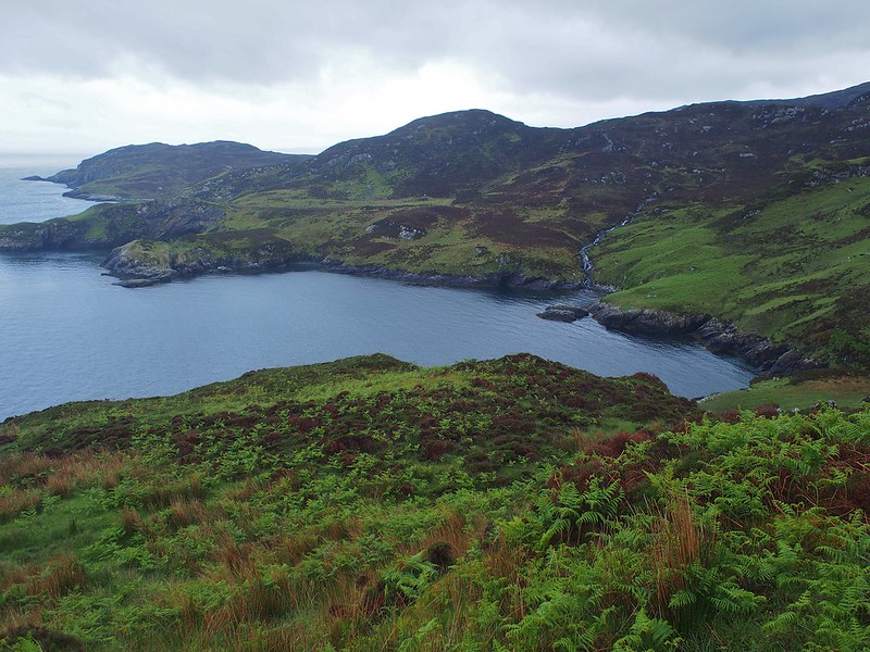
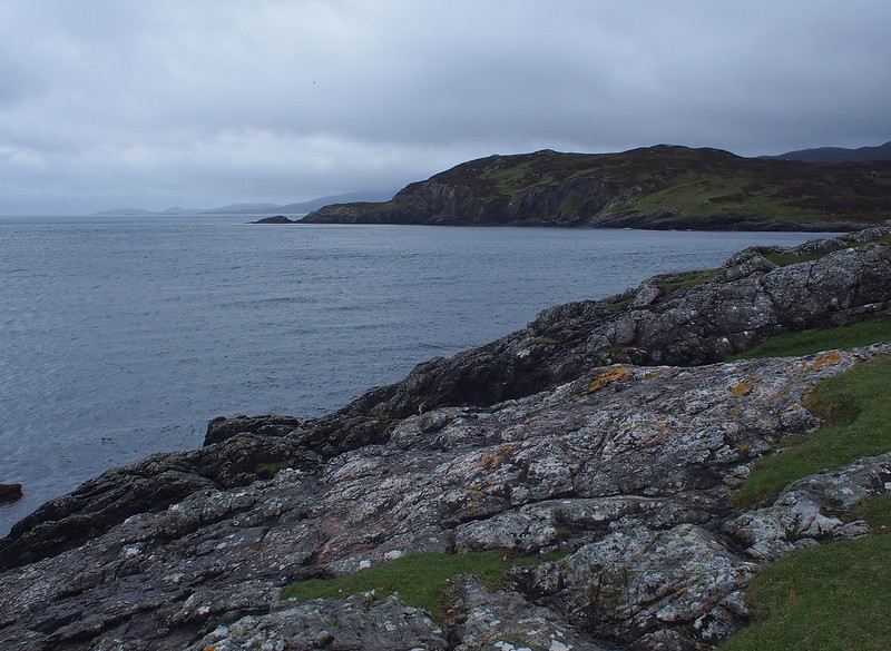
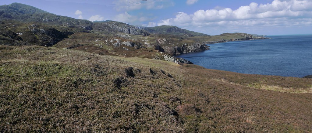
From the map it looked as if there were three main ridges coming down to the sea. Two from Beinn Choradail and one from Beinn Mhor. Between them were valleys of various sizes. The terrain looked less rugged after Rubha Heileasdail.
Typical view of the way ahead
 OLYMPUS DIGITAL CAMERA
 by
Peter Lynn, on Flickr
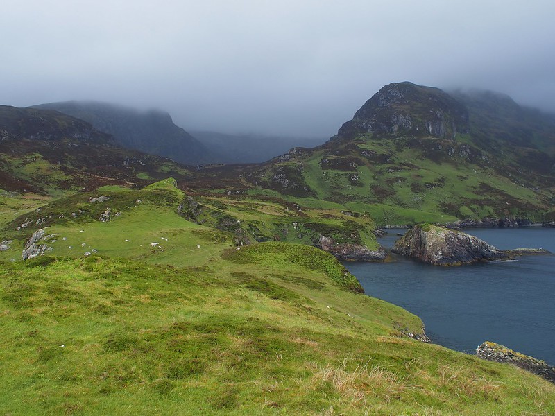
Although the track I've drawn says the route is 10km there was a lot of twisting and turning to get up/down small crags and round gullies and small gorges. There was also the choice of what terrain to head for. There was some, but not much, grass , lots of heather and bracken. On the steeper ground the heather was underlain by rocks so making an estimate of how far down my foot would go was tricky. For the first time I used a walking pole all day long to provide stability and poke around for a solid footfall.
Which way through this lot - heather or bracken?
 tobolium4
 by
Peter Lynn, on Flickr
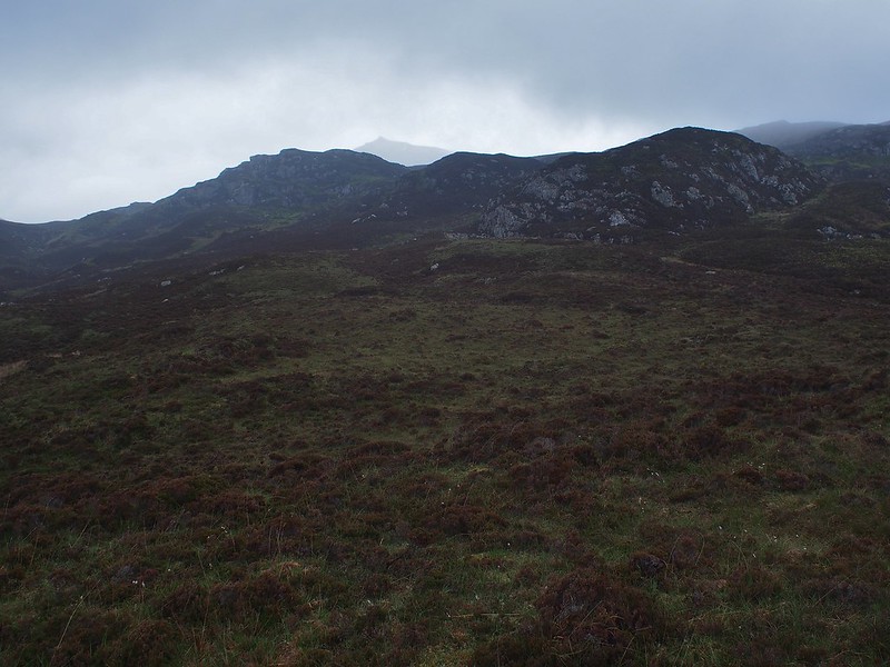
The weather deteriorated with light rain and the clouds lowering but that was a bit of an irrelevance.
Looking back - came down from skyline just right of centre
 OLYMPUS DIGITAL CAMERA
 by
Peter Lynn, on Flickr
Looking inland towards Beinn Mhor
 OLYMPUS DIGITAL CAMERA
 by
Peter Lynn, on Flickr
Heading up to notch right of centre - sea cliffs fall away to the left
 OLYMPUS DIGITAL CAMERA
 by
Peter Lynn, on Flickr
Now raining and the cloud down - but first glimpse of Rubha Heileasdail
 OLYMPUS DIGITAL CAMERA
 by
Peter Lynn, on Flickr
Weather brightening up and Rubha Heileasdail getting close
 OLYMPUS DIGITAL CAMERA
 by
Peter Lynn, on Flickr
Just round this bay and cross this stream and I can have a break on Rubha Heileasdail
 OLYMPUS DIGITAL CAMERA
 by
Peter Lynn, on Flickr
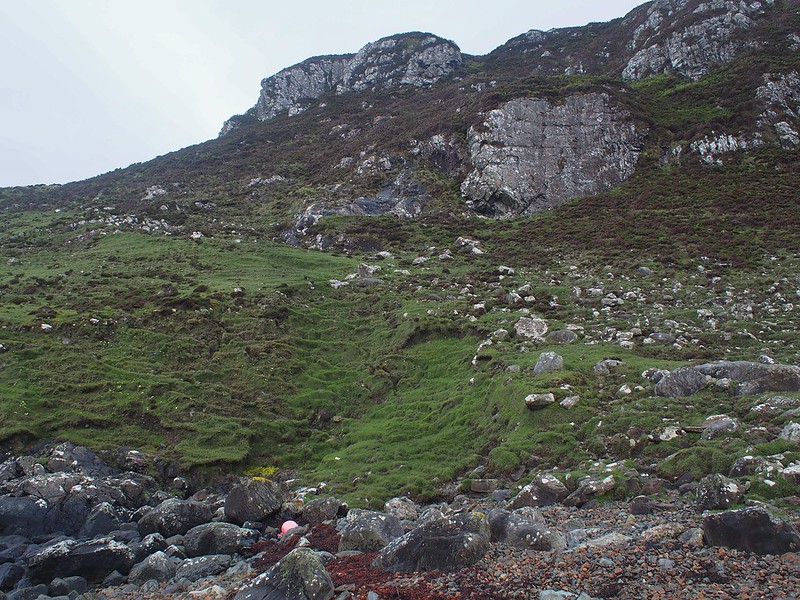
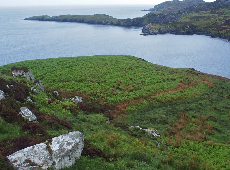
Hostile as this coast seems to us now it was obviously at some point settled as both on the map and on the ground there are traces of buldings and, in particular, cultivation and peat digging. I don't know if it's true but I got the impression that bracken must somehow be the result of previous occupation as it seems to be centred on abandoned settlements. It must have been a hard life along this coast as even the sea is difficult to get to with few landing places of any safety.
Looks like old cultivated area to me
 OLYMPUS DIGITAL CAMERA
 by
Peter Lynn, on Flickr
Looking up Gleann Heileasdail
 OLYMPUS DIGITAL CAMERA
 by
Peter Lynn, on Flickr
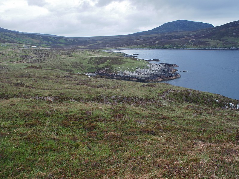
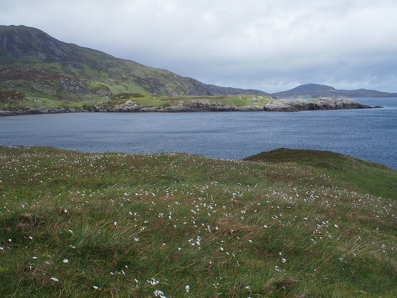
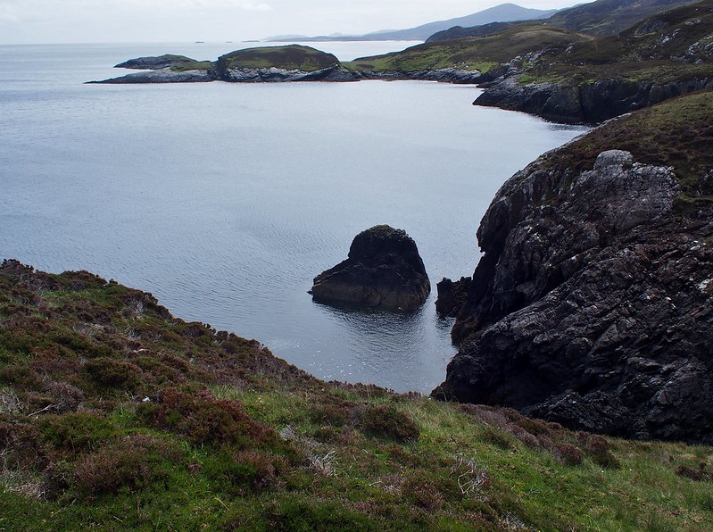
Rubha Heileasdail was a revelation. This narrow, low headland was covered in close cropped grass and evidence of a rabbit colony with plenty of droppings. It would have made a good camping area (except for the wind which got up later) but it was only 11AM. Towards the end of the headland I startled a couple of sheep. They were very bedraggled and obviously hadn't been sheared for a couple of years. They ran off south and I could see them for some time after, making their way along the coast. To my surprise I'd meet up with them again 3 hours later at Bholium!
Back across Bagh Coradail to the start of the walk (Beinn Ghot on right)
 OLYMPUS DIGITAL CAMERA
 by
Peter Lynn, on Flickr
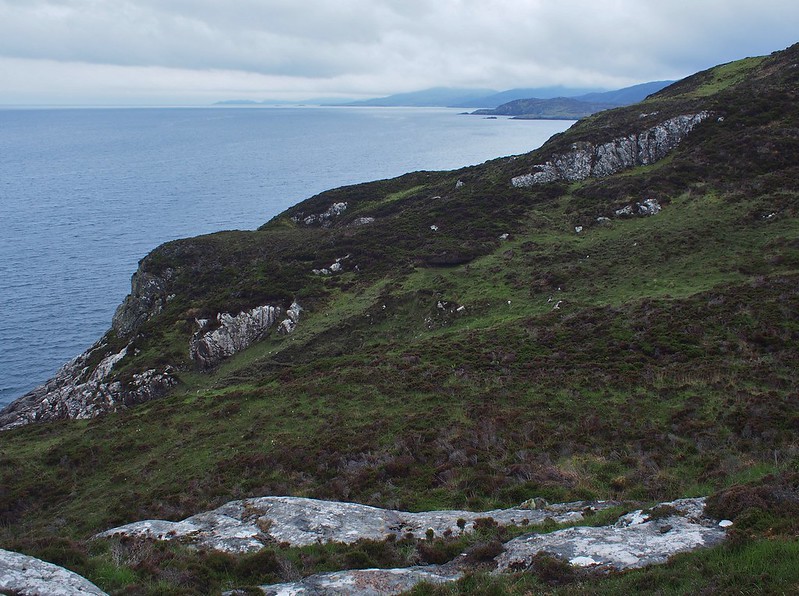
South from Rubha Heileasdail - Rubha na Brataich next headland
 tobolium14
 by
Peter Lynn, on Flickr
Back to Rubha Heileasdail and Beinn Ghot
 tobolium15
 by
Peter Lynn, on Flickr
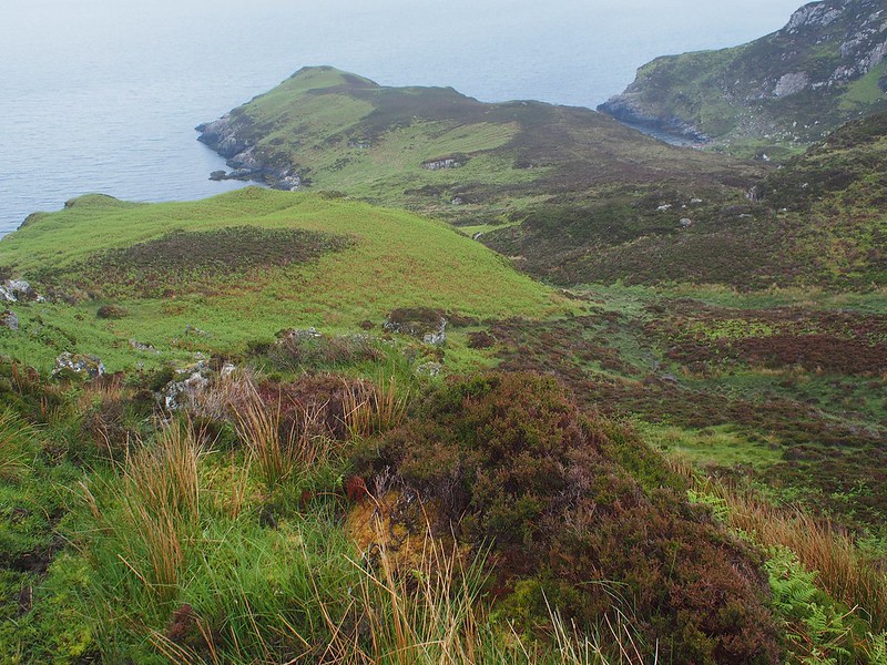
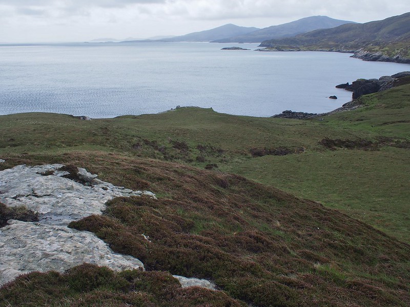
The going did get better for a while after crossing the end of Beinn Mhor's east ridge with shorter heather and some grass. But it didn't last long. At least I could now see my camping spot in the distance. It looked really close but would take a couple more hours to reach. By now my legs were showing a distinct aversion to going uphill. They were fine on the level or downhill but ached immediately I took a step up. I realised I wasn't going to do they whole route down the east coast so I'd better enjoy this bit.
Tonight's campsite in view now - Rubha Bholium with Eilean Bholium
 tobolium16
 by
Peter Lynn, on Flickr
One of a number of Geos to navigate
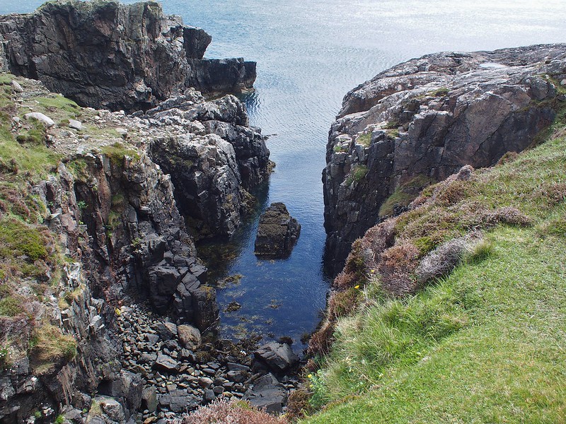 OLYMPUS DIGITAL CAMERA
 by
Peter Lynn, on Flickr
The weather was now much better and the views and visibility improving. But it was getting very windy. I stopped for a bite of lunch (one pepperami, two slices of smoked cheese and an energy bar). As I sat on some rocks, the wind coming off the shoulder of Beinn Mhor would sometimes whip up little waterspouts as it hit the sea.
Rubha Bholium and Eilean Bholium close now - still an hour or more to get there
 tobolium18
 by
Peter Lynn, on Flickr
Nearly there, but the heather was back and I filled up my water bottle from a stream. One litre proved insufficient for an evening and breakfast but I didn't fancy walking half a mile back to this stream later.
Last stream to cross and pick up water
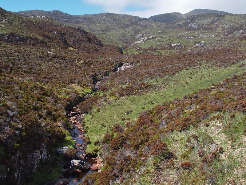 tobolium19
 by
Peter Lynn, on Flickr
View back from Rubha Bholium
 tobolium22
 by
Peter Lynn, on Flickr
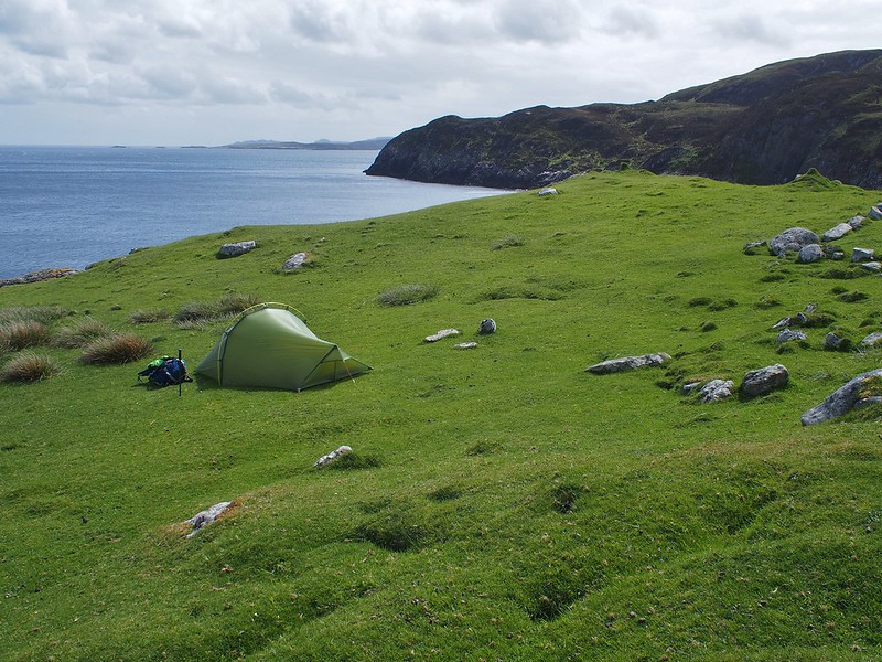
As I approached the abandoned village a short eared owl flew off. Towards the end of the promontory I spooked the two sheep I seen earlier but this time they just scrambled down a crag and didn't run off. I wandered around the headland and decided to pitch the tent just downwind from some old walls on nice short grass. It was only 3PM but I couldn't face walking any more. The next move was up to a bealach at 350M and I couldn't do that now. So I had a lot of time to stare at the sea and think.
Camp at Rubha Bholium
 OLYMPUS DIGITAL CAMERA
 by
Peter Lynn, on Flickr
Soon after pitching the tent I had a distant view of a golden eagle over the ridge running down from Beinn Mhor. There were a lot of very active seals in the sea playing, leaping and diving with each other. A bit later I was watching a load of gannets feeding out to see when I saw a large dark bird leaving the group. It flew back to the coast and started to soar over the ridge to the south. From the size and way it soared it had to be another sea eagle.
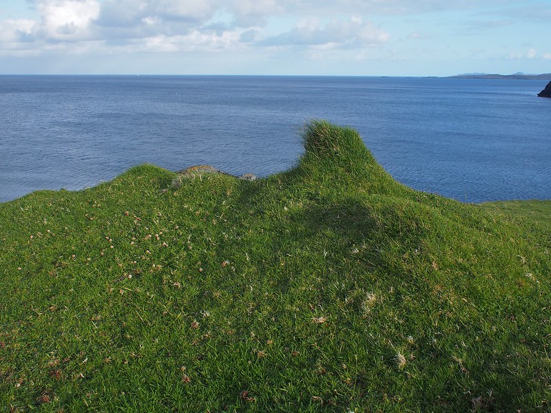
A number of these grass covered rocks around the camp
 tobolium23
 by
Peter Lynn, on Flickr
About six hours later I'd had my food and thought I could decently go to bed at 9PM. I had been wondering whether I preferred doing this on my own or whether it would be better in company. On balance I decided that when the going is tough and I'm getting exasperated by slow progress I'm better off on my own. No one to blame or complain to. But Bholium was so beautiful and the evening there so magical I would have loved to be able to share it. But you can't have both.
Some anti-crepuscular rays as the light fades (pale shafts of light converging on the E horizon)
 OLYMPUS DIGITAL CAMERA
 by
Peter Lynn, on Flickr
The tent flapped away in the wind but I didn't fear it would blow over now having stood up for the last six hours and I slept OK. I woke once to an itching behind my knee and in the light of my headtorch made a neat job of removing a tick and making a sandwich of it and throwing it out of the tent door. I'd decided now that I'd walk out tomorrow to the road, get the bus down to the campsite at West Kilbride and walk from there for my last day. The rest of the east coast would have to wait - or maybe I'd done enough of that dream.
