free to be able to rate and comment on reports (as well as access 1:25000 mapping).
Having decided to call it a day on my trek down the east coast of South Uist I pondered my next move. I was very tempted by Stulabhal, the next hill south of Loch Aineort but it was going to be a long walk in and out and would mean another day with a wild camp and no shower. So I opted for the comfort option and decided to head for a look at the machair on the west coast and then a bus down to the campsite at West Kilbride. This would then put me in a position for a day walk to the SE end of South Uist on Thursday. Having now been out of contact for 3 days I was also pretty hazy about the weather coming up.
The advantage of going to bed at 9pm is that getting up at 5am and walking by 6am seems quite leisurely. So I'd had my breakfast (with a pitiful sip of coffee due to running out of water) and was on the way by 6. I had spotted an ATV track when arriving last night and it headed off in the direction I wanted so I cut across to it and started to follow. But it wasn't in any way engineered. I guess it was just where the stalkers drove their ATVs during the stalking season and the only advantage was it had squashed down some of the heather. The disadvantage was that the deer then used it and turned the peat into a bit of a quagmire. It soon headed off in the wrong direction anyway so I was back on the familiar heather.
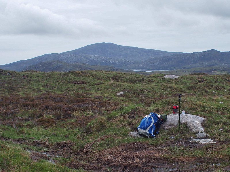
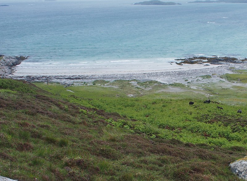
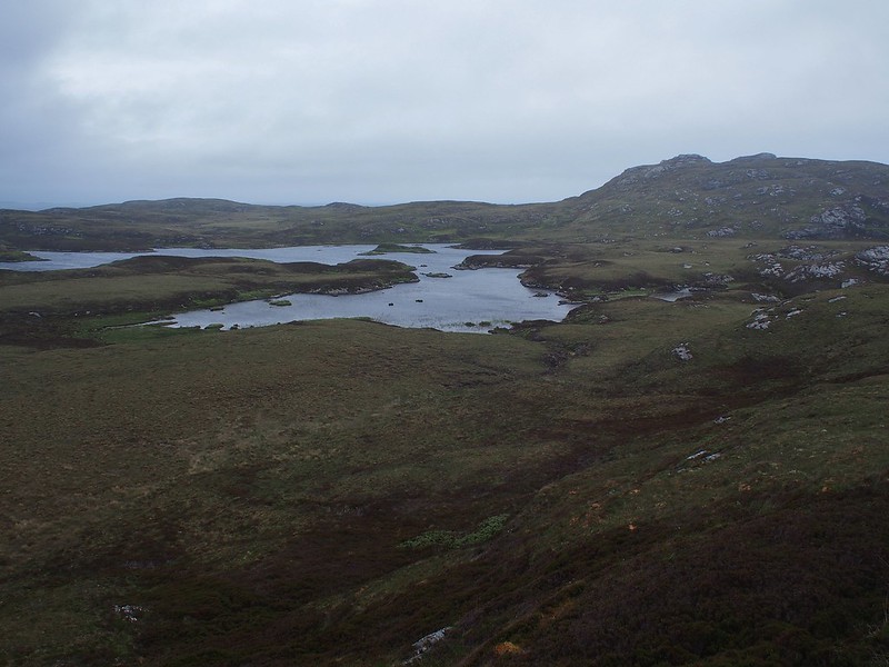
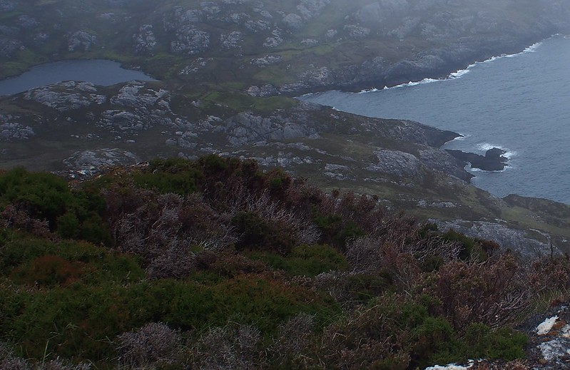
Looking back to last night's campsite
 tokildonnan1
 by
Peter Lynn, on Flickr
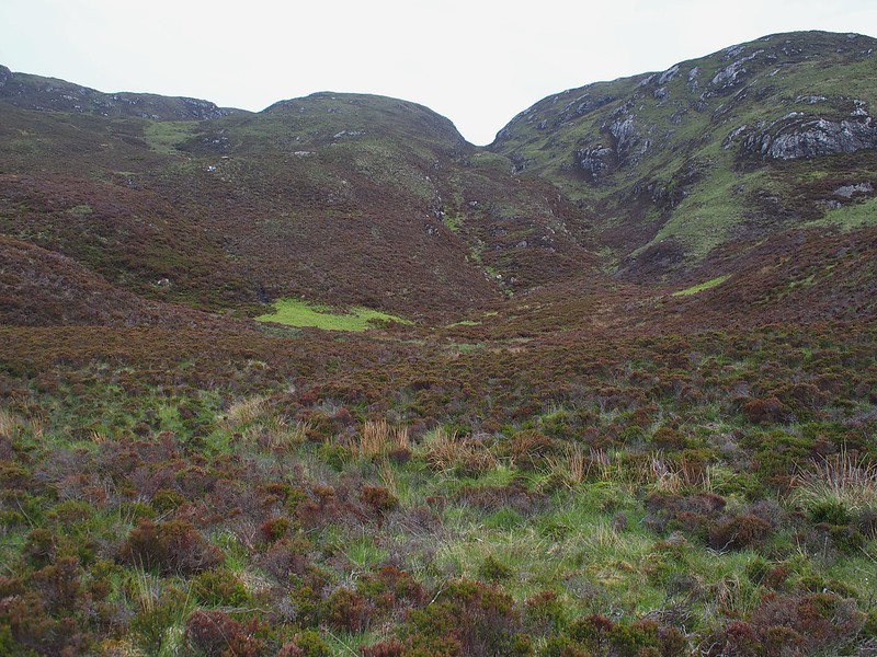
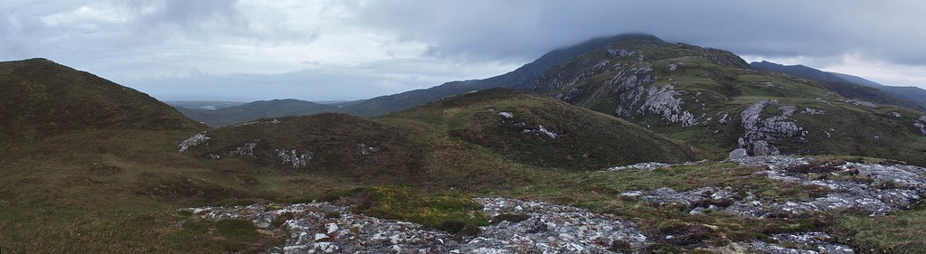
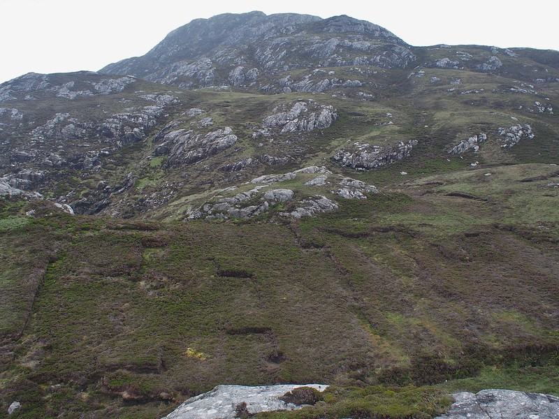
The route was up to a small bealach on the south ridge of Beinn Mhor. The direct route looked like a bit of a gorge so I decided it would be best to go up one or other of the ridges to the side. Looking at the photo now I would probably have taken the right hand side - less heather, more grass, a few more crags maybe. Instead I took the left hand side which turned out to be another knee deep heatherfest.
 OLYMPUS DIGITAL CAMERA
 by
Peter Lynn, on Flickr
One thing I'd not really noticed before was the verbal communication between deer. As I waded my way up the heather covered ridge I could hear occasional soft 'barking' calls ahead which would be answered in kind from across the valley. These were red deer hinds letting each other know that I was coming through. Either they don't do it regularly or I've been deaf to them in the past.
A couple of the 'barking' deer across the valley, skye behind
 OLYMPUS DIGITAL CAMERA
 by
Peter Lynn, on Flickr
It didn't take too long to climb the 200 odd metres to the top of the bealach and so it was goodbye to the east coast wilderness and hello to civilisation again (sort of).
Last view of Bholium
 OLYMPUS DIGITAL CAMERA
 by
Peter Lynn, on Flickr
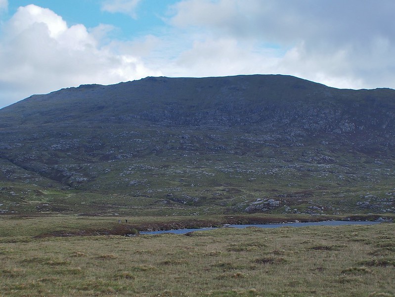
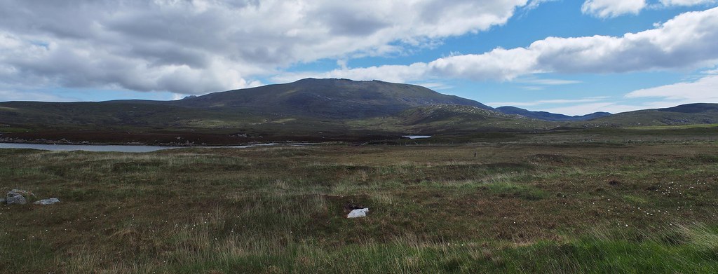
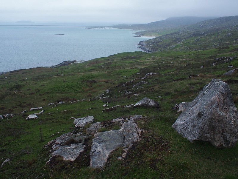
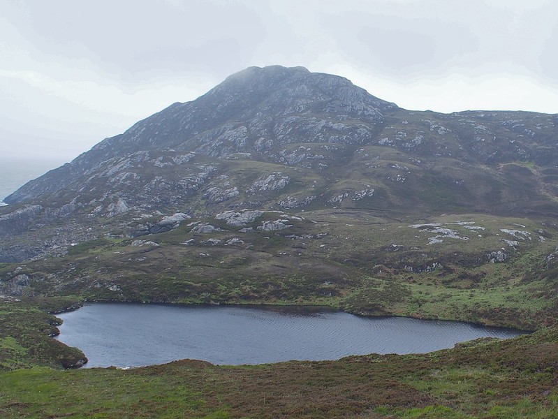
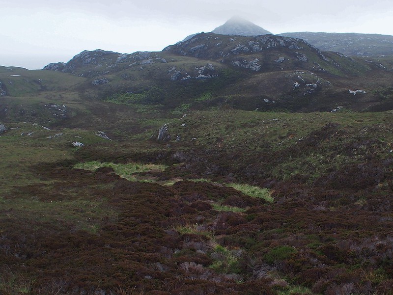
The bealach with Beinn Mhorr in cloud still
 tokildonnan6
 by
Peter Lynn, on Flickr
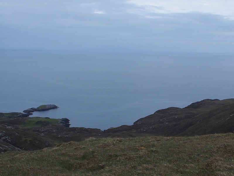
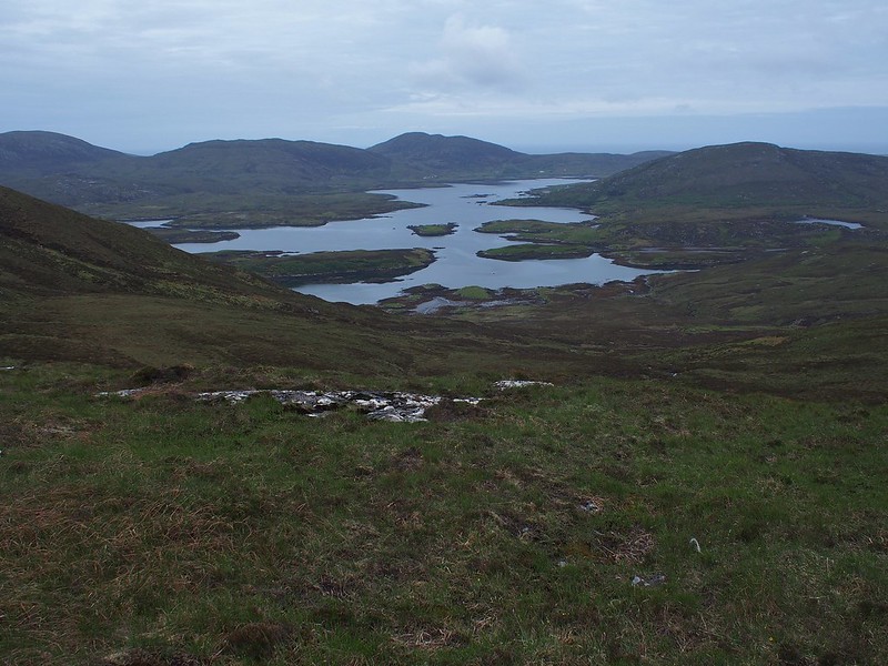
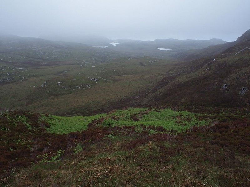
And down to Loch Aineort
 tokildonnan7
 by
Peter Lynn, on Flickr
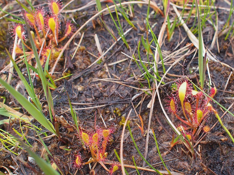
I could see from the map and through my monocular (handy to have for route spotting as well as wildlife) that there was a new deer fence round some new planting so I aimed to pass between that and the slopes of Beinn Mhor. I picked up an ATV track again which, this side of the hill, was more useful and followed it for a good mile, While watching my feet through a muddy bit I saw several sundews. I'd not seen any yet although I'd seen plenty of butterworts. Of course, as soon as I'd seen one, they were everywhere!
Sundews
 tokildonnan9
 by
Peter Lynn, on Flickr
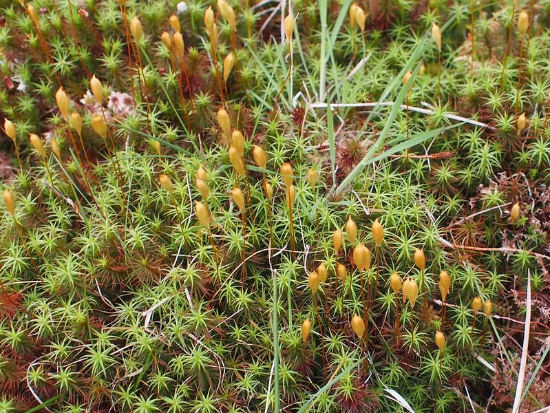
Also, is this spagnum in flower?
 OLYMPUS DIGITAL CAMERA
 by
Peter Lynn, on Flickr
I now found a decent stream to fill up with water and decided as it was only 7.30 I could make myself a brew of coffee.
Coffee time with Stulabhal behind
 OLYMPUS DIGITAL CAMERA
 by
Peter Lynn, on Flickr
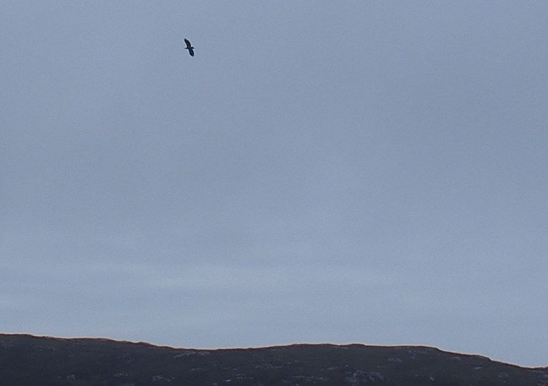
I left the ATV track and rounded the new fencing and set off over what would normally be a boggy area between two lochans towards the road end. By now the cloud had lifted off Beinn Mhor and I spotted a golden eagle break the skyline not far from where I'd crossed the bealach. Once I'd got it in my sights I was able to follow it for quite a while as it criss-crossed the southern slopes of Beinn Mhor sometimes swooping over a group of sheep and lambs, sometimes perching on a little crag. It did stoop onto something on the ground at one point (away from the sheep) but I eventually lost it against the hill. I would never have known it was there, of course, but for it breaking the skyline when I happened to be looking.
Southern slopes of Beinn Mhor
 tokildonnan10
 by
Peter Lynn, on Flickr
Soon after this I spotted a couple of people walking and had a word with them - they were off up Beinn Mhor. They were the first people I'd encountered in 48 hours and it was nice to chat. The real culture shock came as I reached a path just before the road end which was part of some new woodland walks laid out by a crofter. There were people in clean clothes and almost in their slippers! How different things can be only a few miles apart.
Start of the woodland path and civilisation
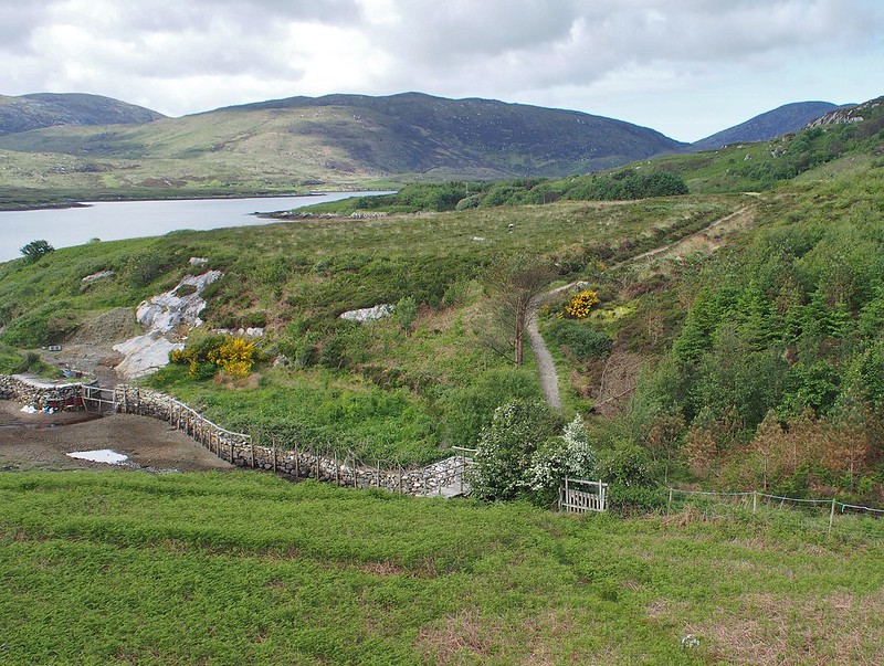 tokildonnan11
 by
Peter Lynn, on Flickr
Stile with ingenious deer barrier
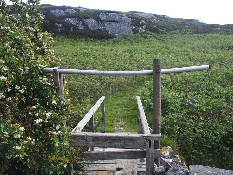 OLYMPUS DIGITAL CAMERA
 by
Peter Lynn, on Flickr
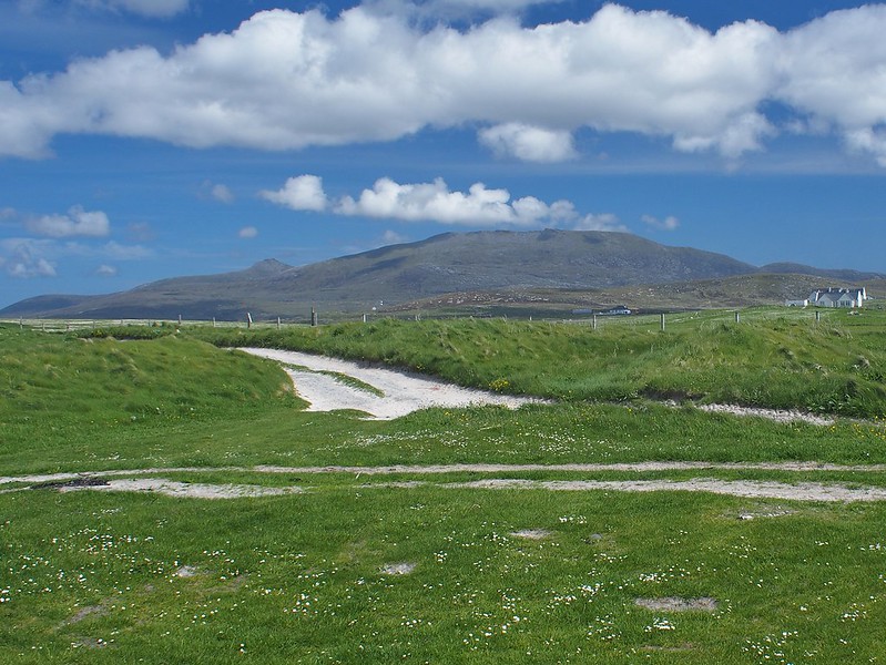
I now had an easy walk on the road past Loch Aineort to the spine road running down South Uist then across to the machair and the west coast. It was a relief to be able to look at the view, wildlife etc as I walked along, not worrying about where my feet were going. The weather was improving all the time and I envied the people their views from Beinn Mhor today.
Beinn Mhor
 tokildonnan13
 by
Peter Lynn, on Flickr
It seemed a bit of a trek up the road and out onto the machair but I had plenty of time so didn't rush. It was getting really sunny by now but also windy again so it was on with the suncream.
Beinn Mhor again
 OLYMPUS DIGITAL CAMERA
 by
Peter Lynn, on Flickr
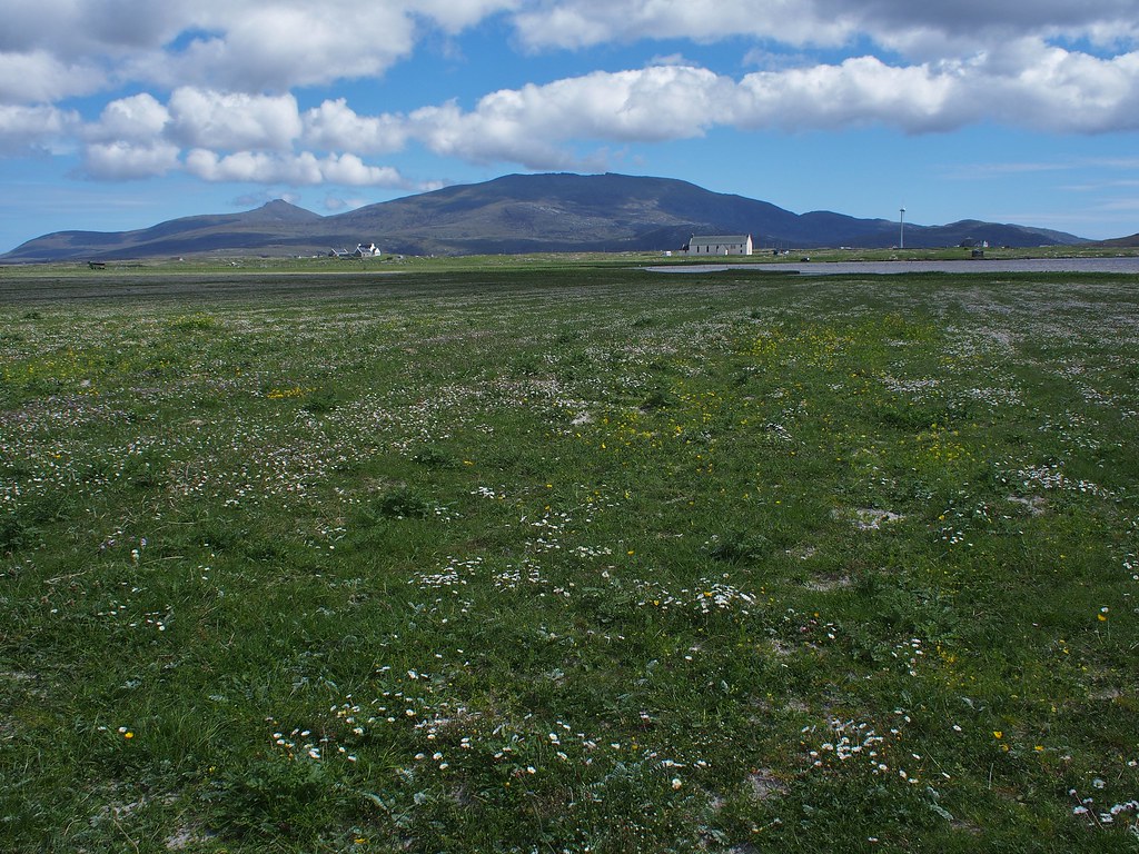
Beinn Mhor and Beinn Choradail across the Machair
 OLYMPUS DIGITAL CAMERA
 by
Peter Lynn, on Flickr
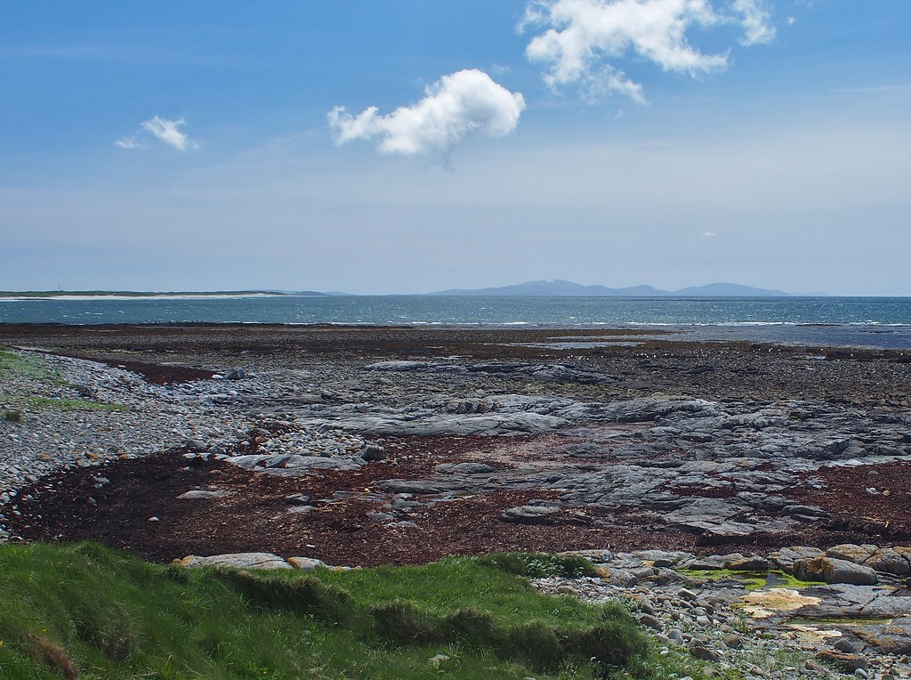
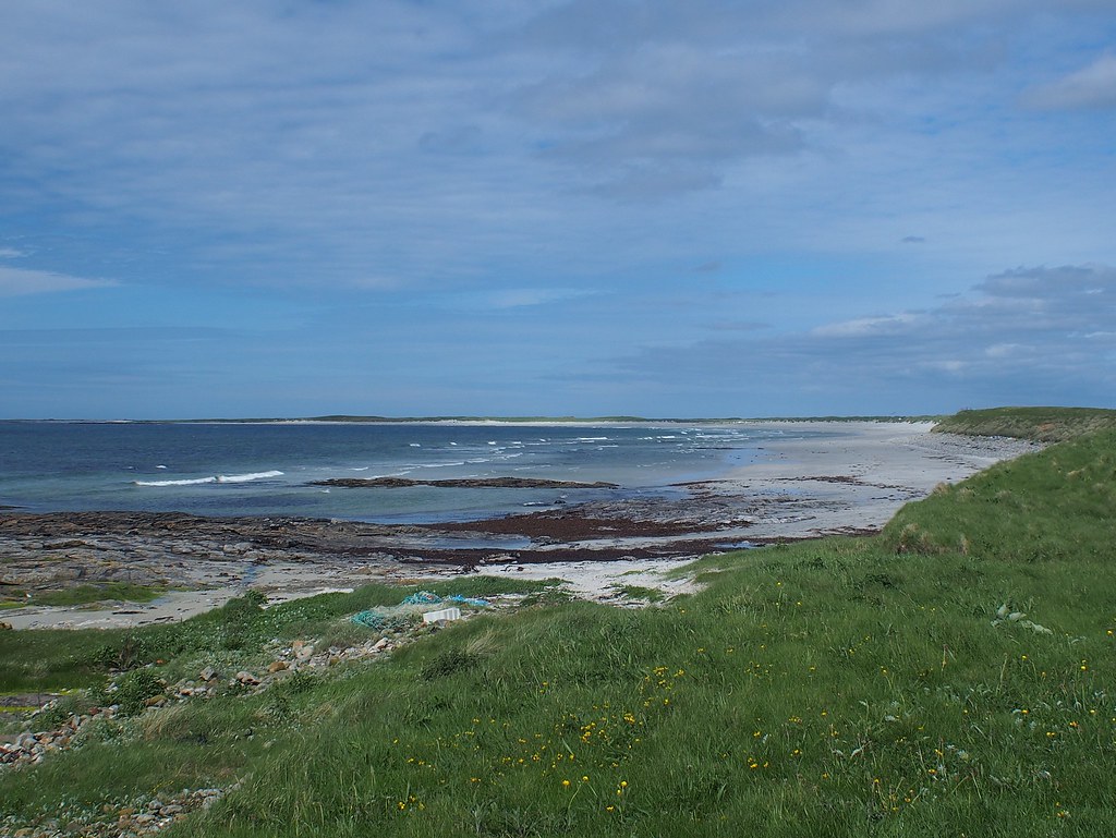
All they way across the machair I was mobbed by lapwings, oystercatchers and redshanks keeping me away from their young. So it wasn't particularly tranquil. I then reached the beach on the west coast to claim my first coast to coast walk - not the longest (or shortest).
Looking south to Barra from the beach
 OLYMPUS DIGITAL CAMERA
 by
Peter Lynn, on Flickr
And north to Rubha Aird a' Mhuile
 OLYMPUS DIGITAL CAMERA
 by
Peter Lynn, on Flickr
I walked back to the main road and spent an hour in the Kildonan museum waiting for the bus down to the campsite. They said at the campsite that the forecast was for a wet and windy night so I found a corner tucked away behind a fence to shelter me from the worst of the weather. The shower and kitchen facilities here were 5* and the owner very helpful and interested in everyone. I couldn't recommend it more, even though the site was mainly used by campervans, caravans and tents the size of a bungalow.
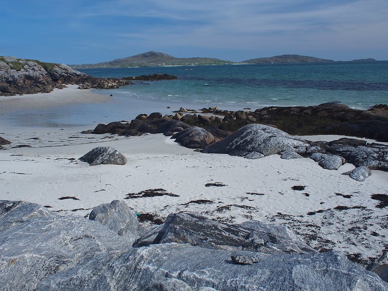
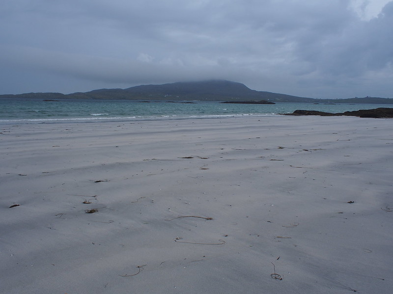
And the beach across the road was pretty special.
 tokildonnan18
 by
Peter Lynn, on Flickr
The night was indeed very wet and windy and still raining at breakfast. I felt sorry for the couple of cyclists who told me last night they had to be at Lochboisdale at 7am for the ferry so they'd had to break camp in the pouring rain and wind at 6am and cycle the 7 miles to the ferry. But they were gone without trace when I got up. I had a leisurely breakfast in the campsite kitchen and a long chat to a father and son who ran an outdoor centre. By 10am the rain had stopped and I was ready for my last walk on South Uist.
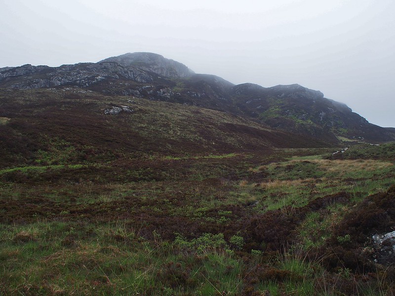
Somewhere I'd read of someone's excursion to the last rocky hill at the SE tip of the island and that was to be my destination. After all the rain and wind overnight the clod was well down on the hills (at about 150M) . I decided if the cloud lifted I'd go over Roineabhal (201M), if not I'd go round.
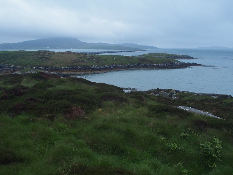
It was a walk along the road to South Glendale
Eriskay causeway and Ben Sciathan in cloud
 seuist1
 by
Peter Lynn, on Flickr
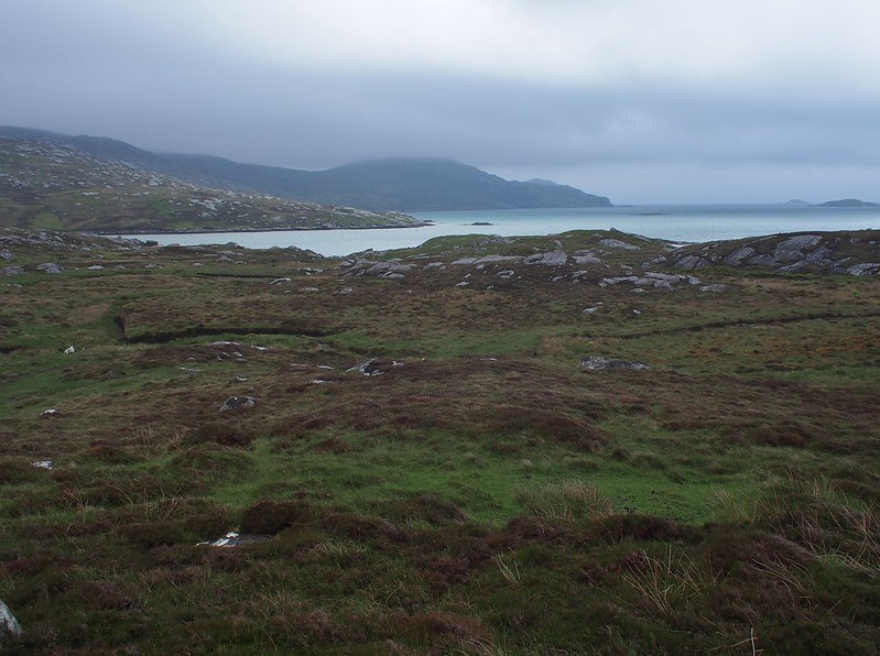
I crossed the stream at South Glendale then headed east along the coast avoiding as much bracken as I could. Roineabhal was still in cloud.
 seuist2
 by
Peter Lynn, on Flickr
There were some nice Hebridean sheep and their lambs here - I was keeping a bit higher to evade the bracken
 OLYMPUS DIGITAL CAMERA
 by
Peter Lynn, on Flickr
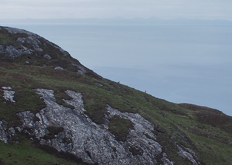
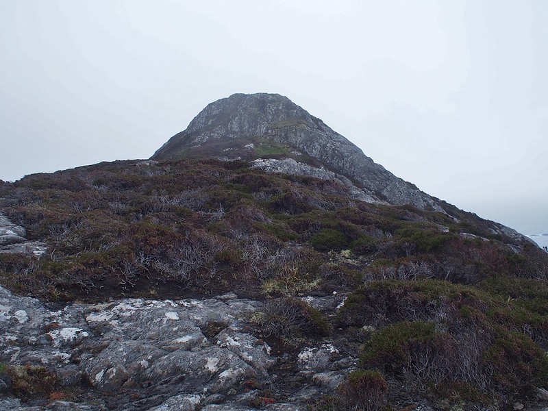
No sign of the cloud lifting yet so I headed up to the bealach to the left of Roineabhal - there looked to be no easy way past on the coast side.
Looking back from bealach
 OLYMPUS DIGITAL CAMERA
 by
Peter Lynn, on Flickr
And down the other side
 seuist5
 by
Peter Lynn, on Flickr
It was now back into familiar territory of heather, bracken and rocks and its consequent snails pace of progress.
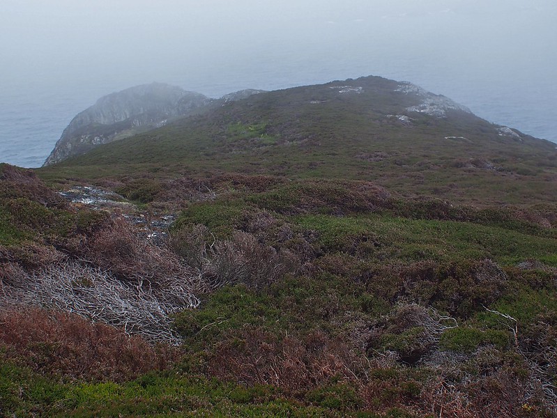
Roineabhal looking a bit clearer here
 seuist6
 by
Peter Lynn, on Flickr
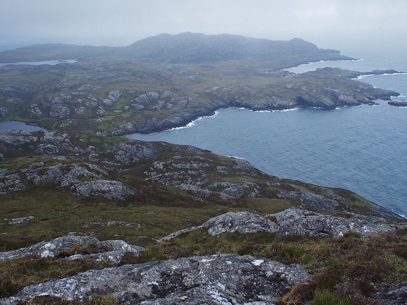
Had a bit of lunch on a small crag overlooking Loch Moraibh and the low hills at the entrance to Loch Baghasdail.
 OLYMPUS DIGITAL CAMERA
 by
Peter Lynn, on Flickr
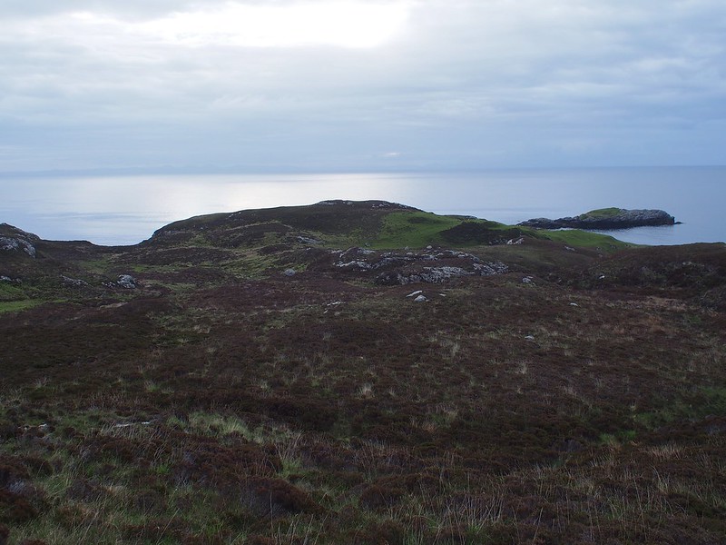
I then headed for my destination the little peak overlooking Rubha Mealabhaig at the SE tip of Uist.
My destination, the unnamed hill ahead above Loch Gheoidh
 seuist10
 by
Peter Lynn, on Flickr
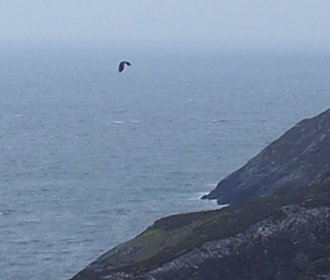
On the way down to the little loch I spotted a white tailed eagle flying and spent the next quarter of an hour watching it soaring over the hill and sea. In order to save space and weight I had my camera without a zoom lens and with no viewfinder attached. So with a wide angle lens and just the screen on the back to compose pictures wildlife photography was pretty much out. Its a tribute to the size of the eagle and the number of pixels that these heavily cropped pictures do show that it was a white tailed eagle.
White tailed eagle soaring
 OLYMPUS DIGITAL CAMERA
 by
Peter Lynn, on Flickr
and flapping
 OLYMPUS DIGITAL CAMERA
 by
Peter Lynn, on Flickr
This was another site where there had clearly been a settlement and I walked over these extensive peat cuttings on the way to my hill.
Up to the destination hill
 seuist11
 by
Peter Lynn, on Flickr
It was only a short climb (140M ?) but it was getting very windy on this very exposed point. I left my bag at this spot to tackle the final lump without it. Of course it turned out it was only one of 3 final lumps but I was glad to not have its extra wind resistance with me. A moment of panic on the way back when I wasn't sure exactly where my bag was.
 OLYMPUS DIGITAL CAMERA
 by
Peter Lynn, on Flickr
From the highest point, ridge descending to the end.
 OLYMPUS DIGITAL CAMERA
 by
Peter Lynn, on Flickr
Looking North
 seuist15
 by
Peter Lynn, on Flickr
A closer look at what must have been a settlement
 OLYMPUS DIGITAL CAMERA
 by
Peter Lynn, on Flickr
Still no sign of the cloud lifting, in fact it was getting lower so I headed back more or less the way I came.
Looking back to the unnamed hill
 OLYMPUS DIGITAL CAMERA
 by
Peter Lynn, on Flickr
On the return I stuck closer to the coast, braving the bracken and crossing this beach where the sheep had been earlier.
Beach, looking to Eriskay
 OLYMPUS DIGITAL CAMERA
 by
Peter Lynn, on Flickr
Just after the beach I saw a crofter with his dog and as I approached the dog looked huge - like an eastern european anti wolf guard dog. But it was an optical illusion as when I talked to it on approach it ran up to me and was a friendly collie. Earlier I had mistaken the black hebridean sheep for cattle! The crofter was keeping a close eye on a new born lamb that a couple of Ravens were taking an interest in. He seemed very philosophical saying 'that's nature and what will be will be'. I didn't tell him about the eagle! When he asked where I'd been he said 'Oh, I don't go beyond that bealach, nobody goes out there - you'd certainly have it to yourself'.
So, with a walk back the way I came to the campsite, that was the end of my walking on South Uist. It had taught me that I can still do some of this, not to be too ambitious and maybe I do quite like being with other people after all. Stats for this final walk 18km, 620M of ascent 7 hours.
