free to be able to rate and comment on reports (as well as access 1:25000 mapping).
With Greenock Fair Monday holiday, we had a four day weekend to utilize. Weather forecast was not impressive but I decided we'd cross our fingers and make the long haul up to Assynt. Allison had some unfinished business with the South Top on Ben More Assynt and me, well I just love being up in that part of the world. It took a while to get through Glasgow on Thursday afternoon and we didn't arrive at Ardmair Campsite til almost 10pm. Rain and wind had been the features of the drive up but fortunately, the rain abated while we put up the tent. Mountains were not in evidence, hiding under a blanket of low cloud. I'd forgotten just how light it stays this far north in the mid-summer - really no darkness at all overnight, just a dimming in the gloaming.
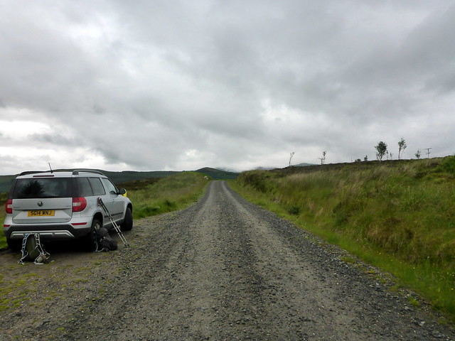
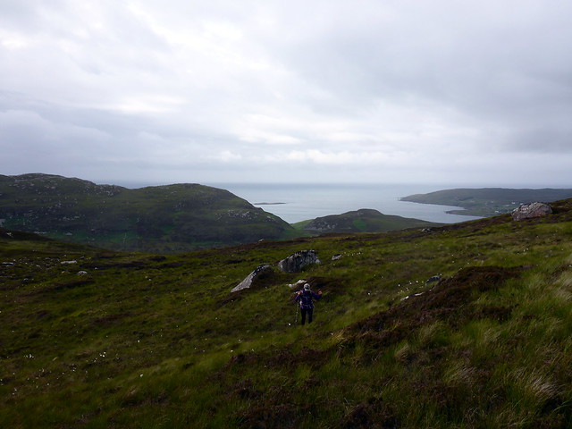
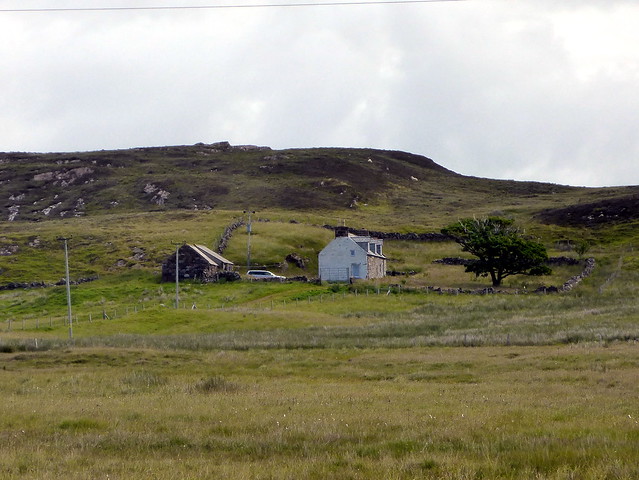
Day 1 - Allison gets her TopOn two occasions have we visited Ben More Assynt and travelled down the narrow ridge towards the Southern Top. The first time both of us were halted by the block of rock two-thirds of the way down. Second time I managed over it (and back) whilst Allison fumed and cursed her nerve - it is an unpleasantly long stretch around a convex section. So, for her, it's become something of a bete noire for her. Rather than re-visit from the north, I decided to plan a route from the south that also took in a couple of Simms - Eagle Rock and Carn nan Conbhairean. This involved a walk in from Benmore Lodge, new to both of us.
 P1160151
 by
Al, on Flickr
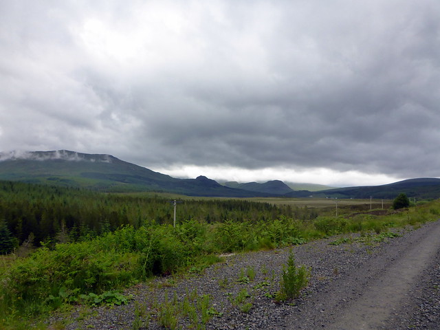
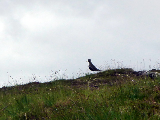
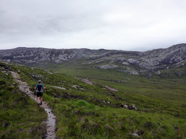
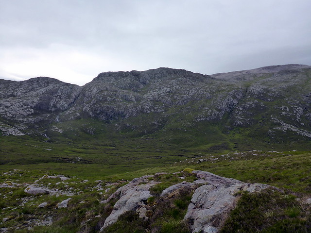
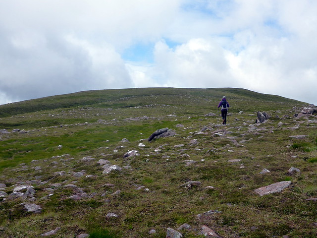
The weather was overcast but dry, and midges were out in force as we kitted up by the start of the track. As we marched along the wind rose which blew our pursuers away. Good surface meant the 4.5km to Benmore Lodge passed quickly. Clag was down to around 450m which spoiled the sense of walking into the mountains somewhat, as you knew they were there but couldn't see them. After the lodge, the path deteriorates into soggy/boggy quite quickly. There's a bridge for the first river crossing but not the second - as a result, we followed the west bank of the Allt Sail an Ruathair for some way until the crossing became easier. We arrived at the eastern shoulder of Meall an Aonaich, walked up a bit and parked ourselves for lunch in the mist. We were being watched by several Golden Plover - their peeps in stereo as they circled around us. Onwards up the quartzite strewn hillside to the stone-built trig point.
 P1160152
 by
Al, on Flickr
Benmore Lodge
 P1160153
 by
Al, on Flickr
 P1160154
 by
Al, on Flickr
 P1160155
 by
Al, on Flickr
Peeping plover
 P1160157
 by
Al, on Flickr
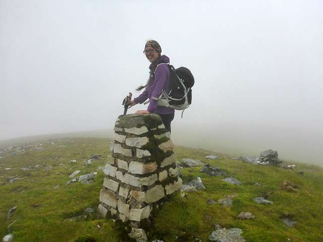
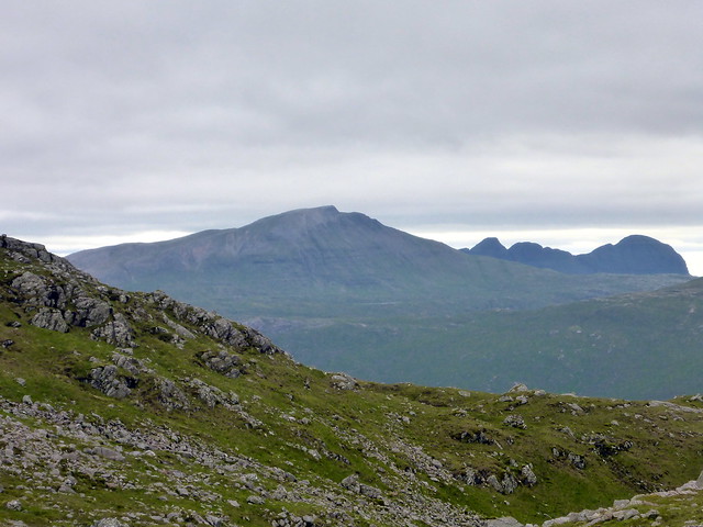
Top Eagle Rock
 P1160159
 by
Al, on Flickr
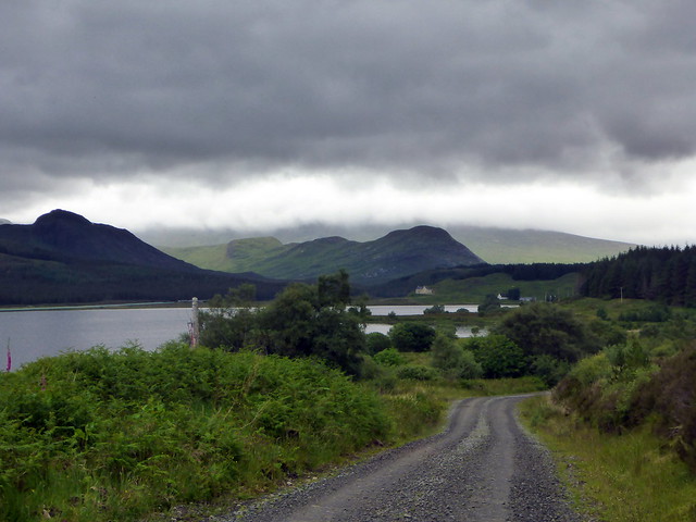
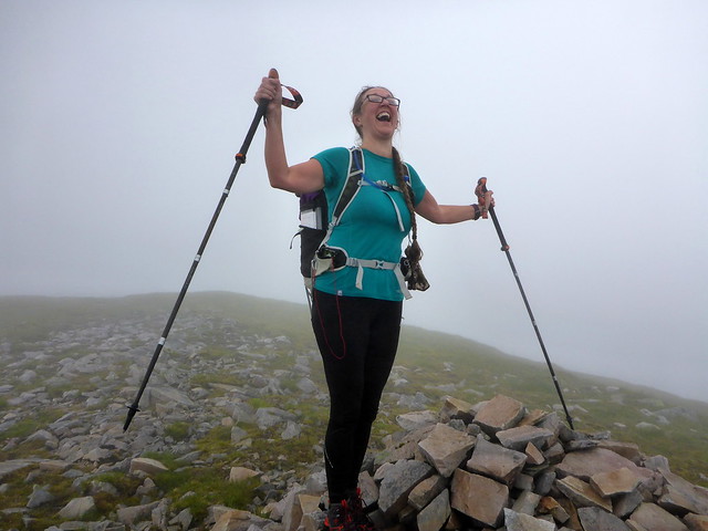
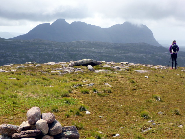
A descent to a boggy bealach brought us to Carn nan Conbhairean. I was surprised to see a definate path (plus some direction cairns) heading up - obviously a more popular route in than I'd surmised. As we gained height we came to a delightful ridge which we scampered along. A short descent then something larger loomed in front of us - the grassy slope up to the Top. No hassles approaching from this direction! Allison was delighted to have reached the cairn. We paused for a wee while then about turned, following the ridge back and coming off to the west of Conbhairean, to join the western arm of the track back to Benmore Lodge. We met a couple of German lads walking the CWT and had some discussion about possible camping spots along the way we'd returned.
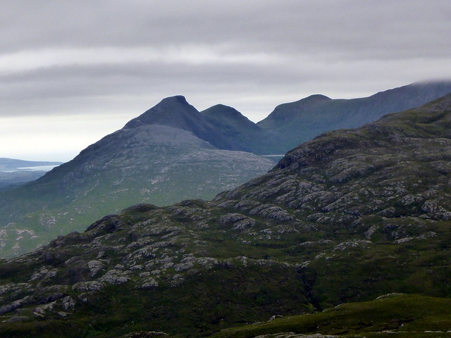
Carn nan Conbhairean
 P1160161
 by
Al, on Flickr
 P1160163
 by
Al, on Flickr
 P1160165
 by
Al, on Flickr
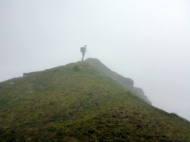
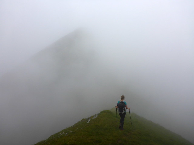
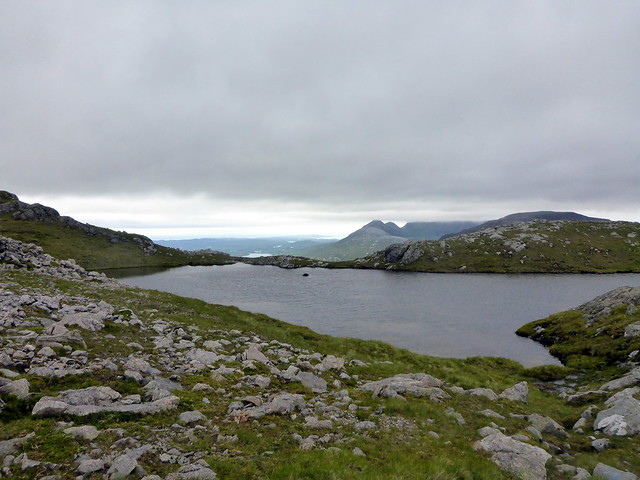
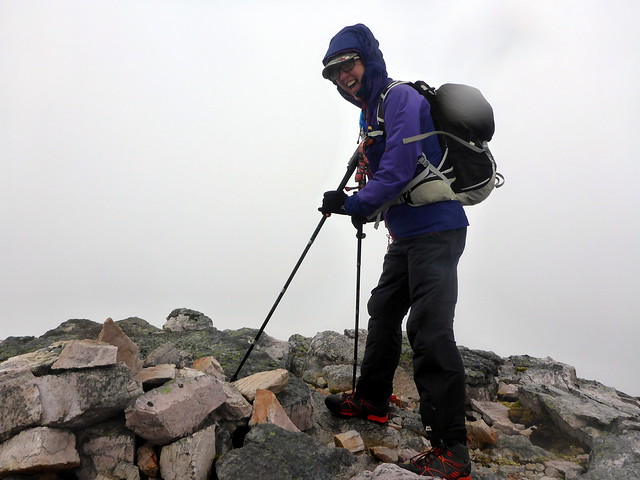
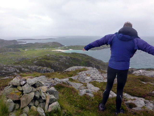
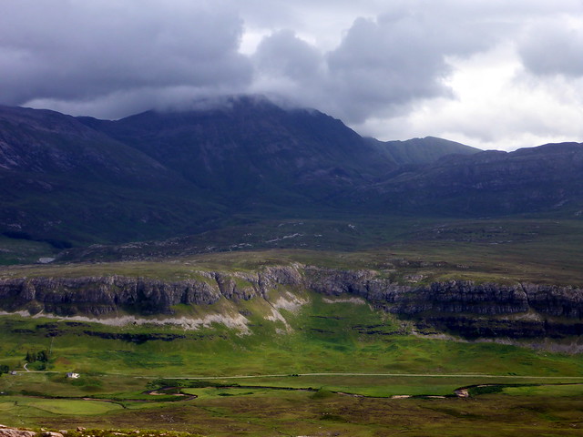
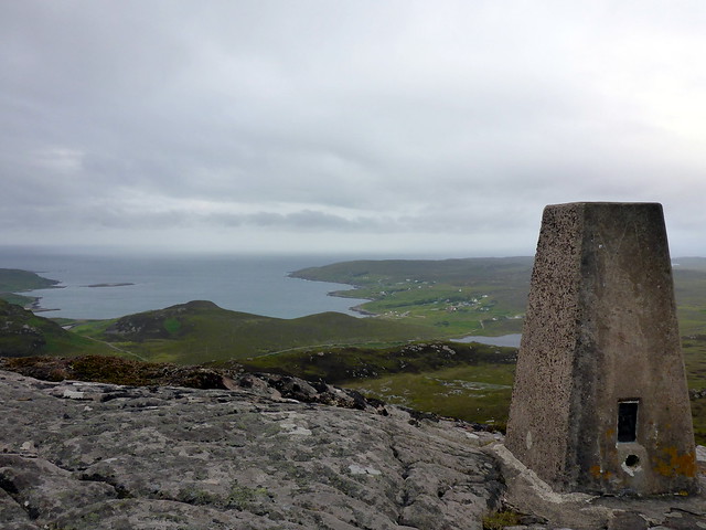
BMA South Top
 P1160167
 by
Al, on Flickr
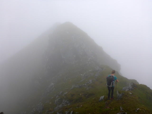
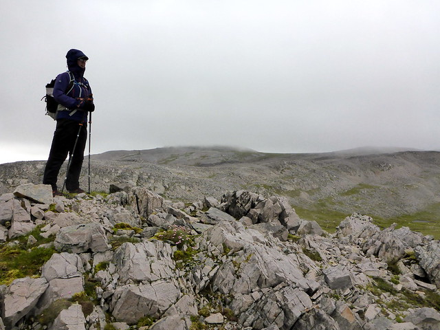
Descent route
 P1160168
 by
Al, on Flickr
 P1160169
 by
Al, on Flickr
 P1160171
 by
Al, on Flickr
 P1160172
 by
Al, on Flickr
Back at the campsite the sun had decided to put in an appearance and we had a lovely evening walking along the stony beach, building cairns - sadly a bit too chilly to just sit out and bask but at least the wind kept the midge at bay.
Sunshine on Ben More Coigach
 P1160174
 by
Al, on Flickr
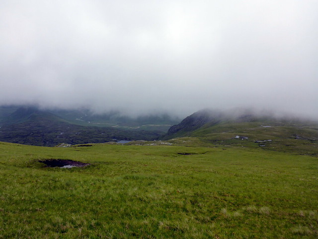
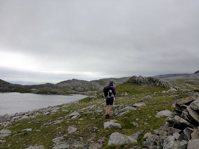
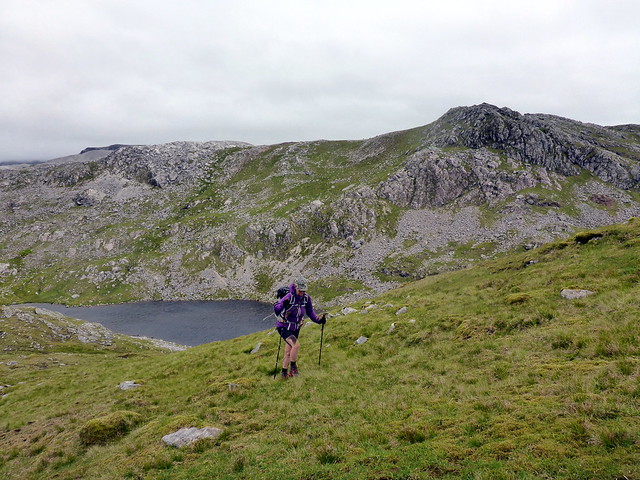
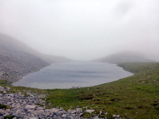
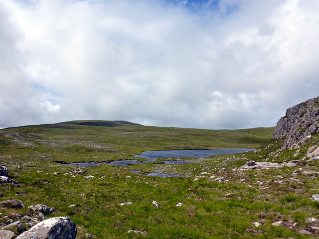
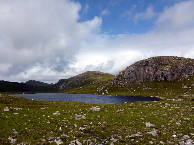
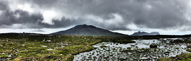
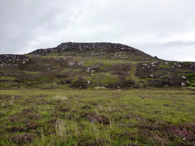
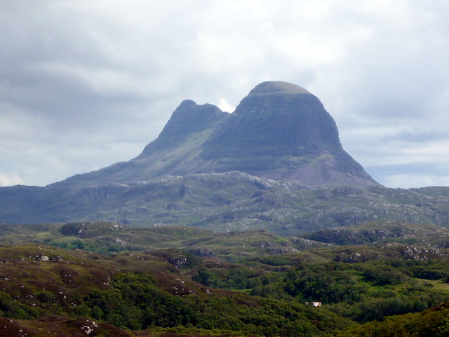
Day 2 - Beinn an FhurainI had only sketchy plans for what we might do this weekend, other than Allison's Top. There were a couple of Marilyns on the agenda but otherwise it was undecided. Suilven had been considered - there are two things I want to do with that mountain - one is an overnight camp on Caisteal Liath, which the weather this weekend was not going to allow and the second is a full traverse, which I suspect will require a man with a rope. I had considered walking in and picking off the easternmost top but there seemed little point in this alone. So instead I decided we'd climb Beinn an Fhurain, which sits to the north of Conival and presents dramatic cliffs when you are ascending Conival. There were 3 Simms to be climbed on what should be a fairly short day out. We left the parking area at Inchnadamph in shorts (well it is mid-summer) and took the path up to the left that one would use for climbing Glas Bheinn but taking the right hand split after Cnoc an Droighinn. The path leads all the way up to Loch nan Cuaran and the first (un-named) summit is nearby. The wind was howling by this time and the surrounding summits of Cuinnaig, Canisp & Suilven were disappearing under clag. We pressed on for the second top, Meall nan Caorach which provided a short scramble on the way up from the lochan. The landscape beyond was increasingly desolate and rocky, terraces of the "pipe rock" seen on nearby Beinn Uidhe and of course on Arkle where we first encountered this. I still get boggled thinking that what we're standing on was once a tropical sea bed.
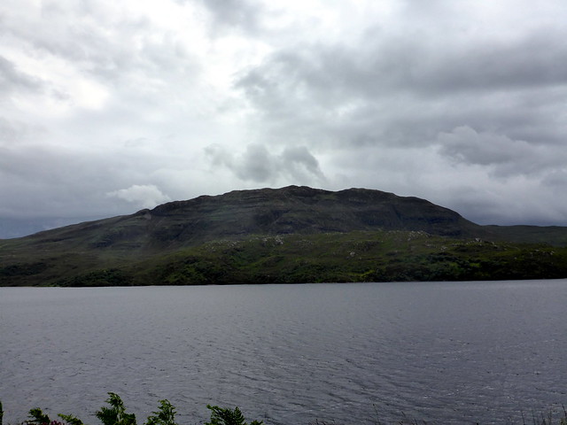
Cuinneag from the car park
 P1160175
 by
Al, on Flickr
 P1160176
 by
Al, on Flickr
 P1160177
 by
Al, on Flickr
 P1160180
 by
Al, on Flickr
 P1160183
 by
Al, on Flickr
Meall an Caorach
 P1160185
 by
Al, on Flickr
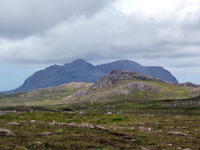
Canisp/Suilven
 P1160186
 by
Al, on Flickr
Cuinneag (zoomed)
 P1160188
 by
Al, on Flickr
 P1160189
 by
Al, on Flickr
 P1160191
 by
Al, on Flickr
"Pipe rock"
 P1160193
 by
Al, on Flickr
Onwards in the clag and an increasingly hostile wind over the slopes of Beinn an Fhurain making for the highest point of na Tuadhan. Regrettably all that was visible of the impressive cliffs was a yawning drop into clag. We retraced our steps a bit and headed down into Coire a'Mhadaidh where we picked up the path that goes to Conival and thence back to the car. I had thought about staying in the campsite near Achiltibuie but had noticed a sign for the Coigach Gathering on the way up - perhaps the campsite would be full on account of that? So we headed for the Shore Campsite at Achmelvich instead. It was fairly busy and very windy - the sea lashing on the rocks beside our pitch. I decided to put in extra pegs just in case. We had a walk down to the beach then a nip up Sidhean Lochan na Smuraich, all of 108m just for the hell of it.
Na Tuadhan
 P1160195
 by
Al, on Flickr
 P1160196
 by
Al, on Flickr
 P1160199
 by
Al, on Flickr
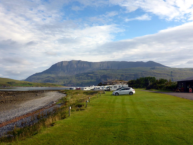
Achmelvich campsite
 P1160201
 by
Al, on Flickr
 P1160204
 by
Al, on Flickr
 P1160206
 by
Al, on Flickr
Windy, even at only 100m
 P1160207
 by
Al, on Flickr
Day 3 - Wet and Wounded on Beinn ReidhReidh - intended route
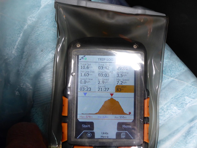
Another rather grey day - Beinn Reidh was our chosen target. You'll recognise this hill as the one next up from Canisp as you drive to inchnadamph, to the left at the bottom of Loch Assynt. I'd done a nice route that included 2 adjacent tops leaving from Inchnadamph. However this required us to get across Lub a'Mhuilt, which looked quite wide on the map - I was hoping it would be shallow. We parked at the same spot as yesterday and set off across a very marshy field for the river. Hmmm. Fast flowing and deep at the curve. I walked over to the mouth of Loch Assynt to find it deeper. This would be a swim, not a wade. Damn. We had a look at the map - there was a possibility of climbing the hill from the north, but that would be a very long route. Instead I thought we should drive along the road a bit and try to cross the river elsewhere. We drove maybe a mile to the next layby and had a look - yes definately wade-able. I suggested Allison use an old pair of boots for the crossing and carry her others - we'd be returning the same way so she could leave them beside the far bank. I'd use my gaiters and cross quickly. Ha - that was the plan - but I took a tumble halfway across getting rather wet, and much worse than that, banging both my knees on rocks when I fell. This was not in the script. I hoped the pain would ease as I walked up the hill - my right knee wasn't bad, but my left was very painful and I could feel it swelling up. The walk up Beinn Reidh became a procession of pain - slow and uncomfortable. I certainly wasn't returning without getting to the summit but the plans to include the other tops went out the window.
Beinn Reidh
 P1160230
 by
Al, on Flickr
The river crossing we shan't mention again
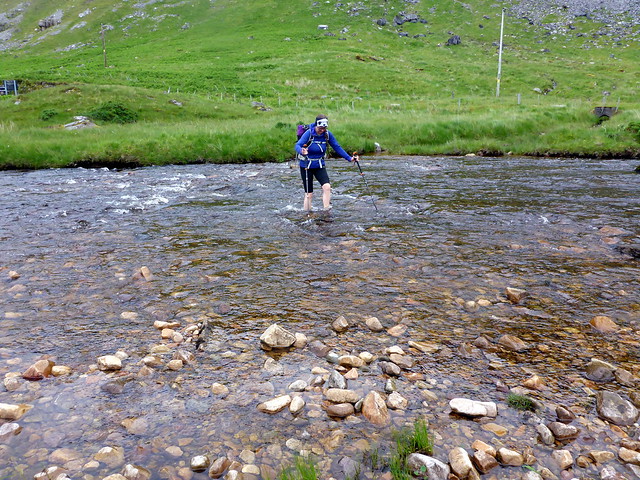 P1160209
 by
Al, on Flickr
 P1160212
 by
Al, on Flickr
Conival
 P1160213
 by
Al, on Flickr
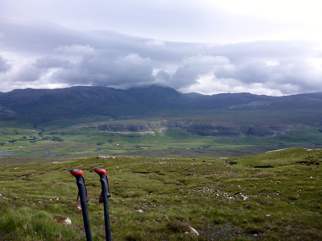
Top of Beinn Ruadh still some way away
 P1160214
 by
Al, on Flickr
 P1160216
 by
Al, on Flickr
Cuinneag
 P1160219
 by
Al, on Flickr
Fortunately it's a grassy slope, with no scrambling required and we eventually made it to the top, which was one of those that always seems that bit further away than you think it's going to be. At least there was a reward in the form of a great view of Cansip and then Suilven from the summit. Going down was a little easier and I managed the return crossing without mishap.
 P1160220
 by
Al, on Flickr
Canisp
 P1160221
 by
Al, on Flickr
Summit Reidh
 P1160224
 by
Al, on Flickr
 P1160225
 by
Al, on Flickr
 P1160229
 by
Al, on Flickr
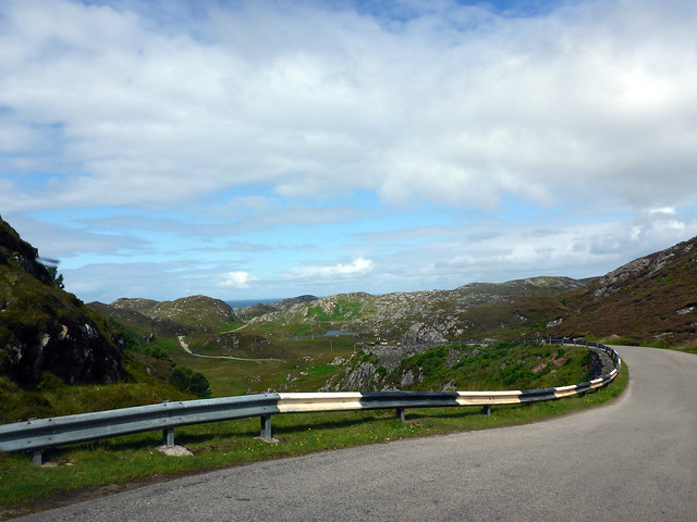
My knee was very swollen and hot when I had a look back in the car, but it seemed only muscular thankfully, no bony damage. What to do now? It was only about 2.30. We drove to Lochinver for petrol and I decided we'd carry on to Achiltibuie and climb the second Marilyn of the day - this was a tiny hill of only 204m which I reckoned was within my abilities - I wasn't sure if my knee was going to stiffen up overnight, so get it done today. The road from Lochinver to Loch Bad a'Ghail remains one of the more challenging roads - fortunately we didn't encounter a large campervan at the narrowest section this time

On through Achnahaird and Altandhu, we could see our hill, Meall an Fheadain decorated with a transmitter mast. I'd originally intended to walk along the track to the mast and include Meall Dearg across the road, but decided that the shortest route was in order given my circumstances, a direct ascent of around 150m

Summer Isles
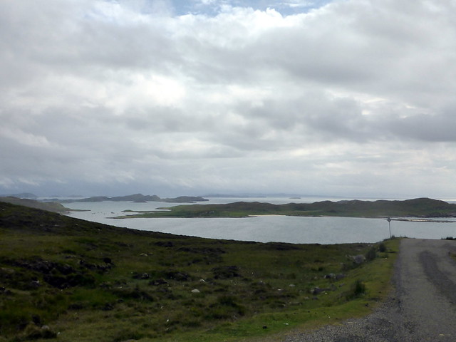 P1160232
 by
Al, on Flickr
Meall an Fheadain
 P1160235
 by
Al, on Flickr
We parked at the start of the road to Old Dornie and basically went straight up the hillside, some bracken and heather. Nearing the summit we picked up a good path - another popular hill evidently. There were good views over the Summer Isles, though they would have looked finer with the aquamarine sea under sunshine rather than grey clouds. Back down again and back to Achmelvich. The rain started not long after we got to the tent and lashed down most of the night.
 P1160236
 by
Al, on Flickr
 P1160237
 by
Al, on Flickr
 P1160238
 by
Al, on Flickr
 P1160240
 by
Al, on Flickr
 P1160241
 by
Al, on Flickr
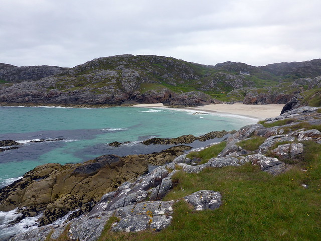
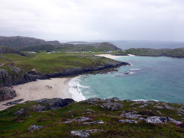
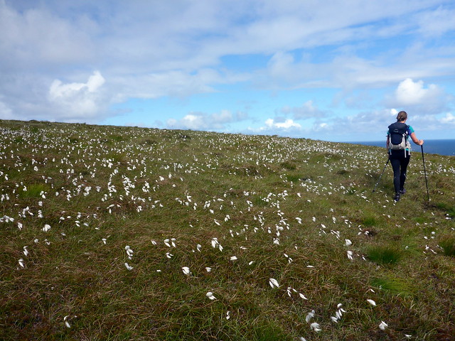
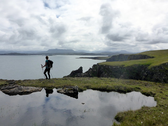
Day 4 - A walk to the Old Man of StoerIronically today was the best day, weatherwise. My knee remained swollen, but walking on the flat was not too bad. I decided it would be foolish to climb anything today, but a flat mountain would be alright

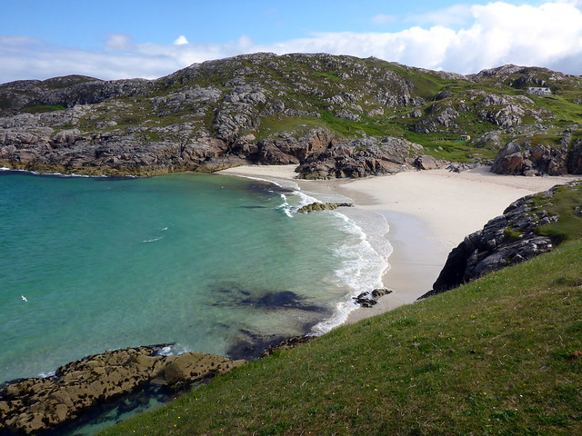
We enjoyed the unexpected sunshine, walking down to the beach at Achmelvich, rescuing a few stranded jellyfish.
 P1160242
 by
Al, on Flickr
 P1160243
 by
Al, on Flickr
 P1160244
 by
Al, on Flickr
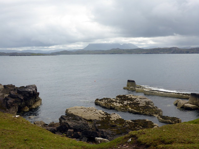
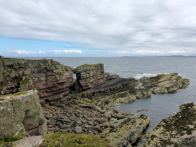
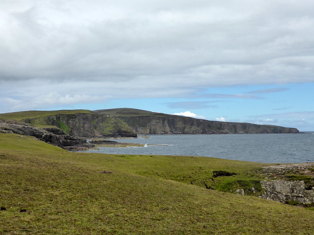
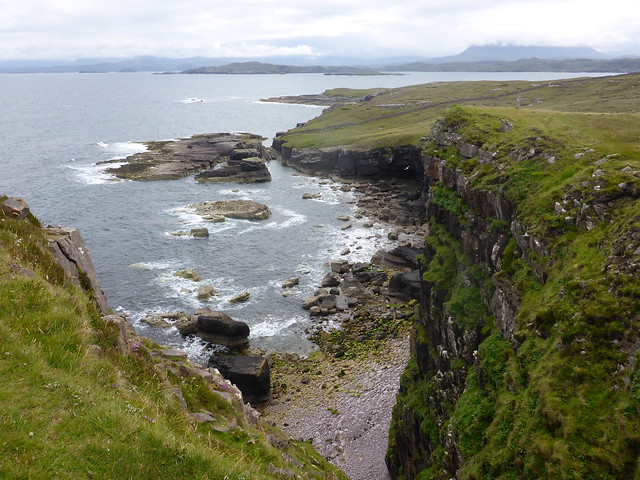
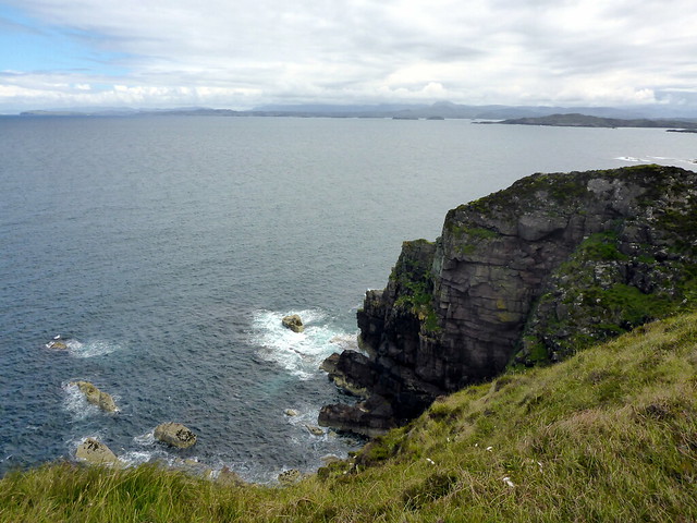
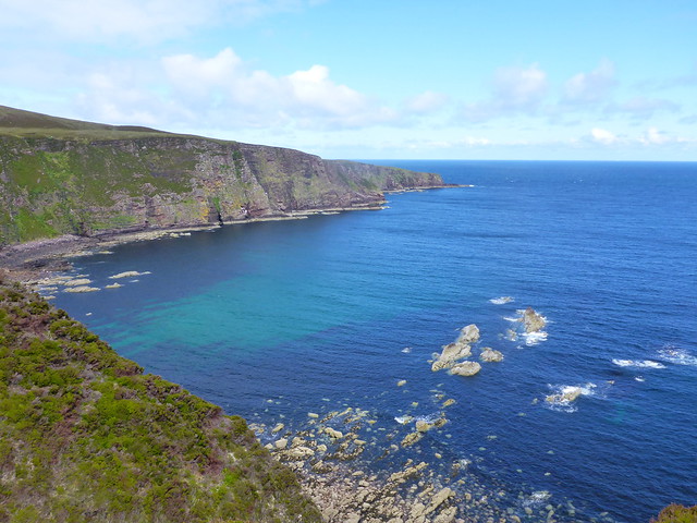
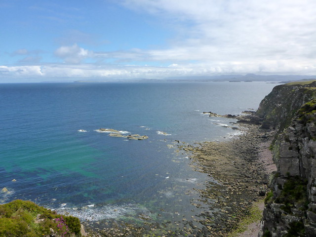
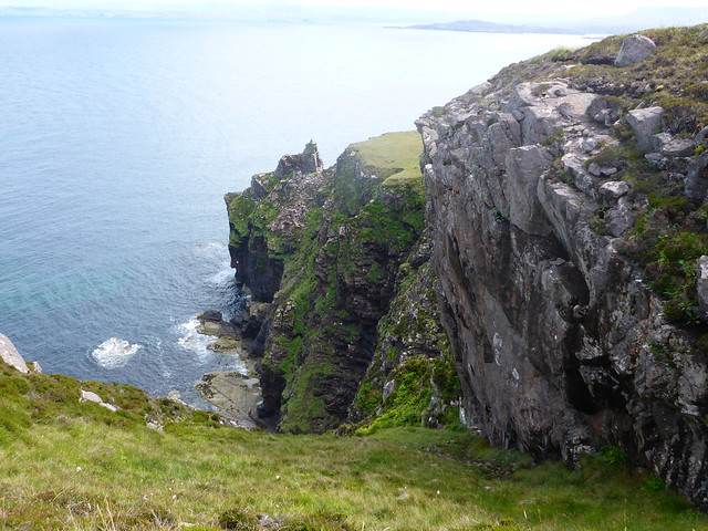
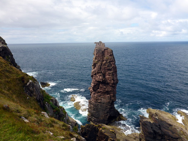
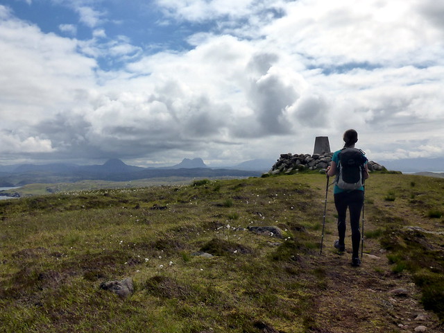
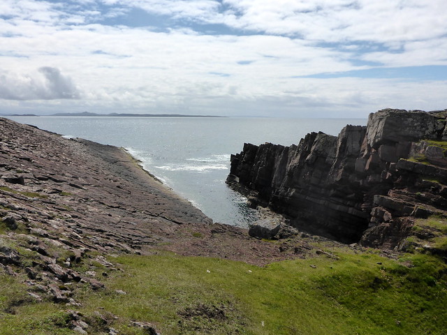
I thought it might be nice to head to Culkein and walk over the headland to see the Old Man. As a teenager I used to come up here, staying at Achnacarnin and spent many hours wandering over the surrounding hillsides. We parked up at the slipway at Culkein and set off along the rocky beach passing the arch and the other fantastical shapes in the spits of rock, the conning tower of a submarine etc. Gradually gaining height along the clifftops, the sun coming out and turning the water that wonderful blue. We continued along the headland to the Point of Stoer, passing some other walkers and lunched in a sheltered spot just by the Old Man. It seemed inevitable that we'd climb up over Sithean Mor (well a fairly flat hill
) and we headed back to Culkein on the track by Loch Cul Fraioch. A fine day now, so good to be in Assynt in the sunshine. I suggested to Allison she "chuck a sickie" tomorrow and we just stay up here, but she's too diligent for that. So we returned to the car and set off for home. However we did stop at Clachtoll for a walk out to An Dun broch and along the coastline to see the split rock. Hopefully my knee will be recovered by next weekend for some hills

 P1160247
 by
Al, on Flickr
 P1160248
 by
Al, on Flickr
 P1160249
 by
Al, on Flickr
 P1160252
 by
Al, on Flickr
Arch
 P1160253
 by
Al, on Flickr
Sithean Mor
 P1160254
 by
Al, on Flickr
 P1160257
 by
Al, on Flickr
 P1160258
 by
Al, on Flickr
 P1160259
 by
Al, on Flickr
 P1160260
 by
Al, on Flickr
 P1160261
 by
Al, on Flickr
 P1160263
 by
Al, on Flickr
 P1160264
 by
Al, on Flickr
 P1160266
 by
Al, on Flickr
Summit Sithean Mor
 P1160269
 by
Al, on Flickr
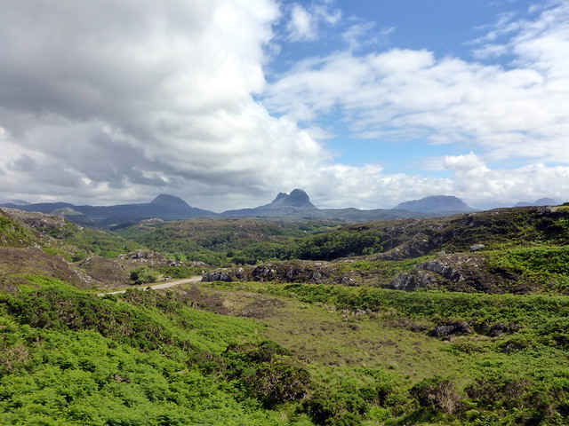
The "Usual Suspects" but seen from the west
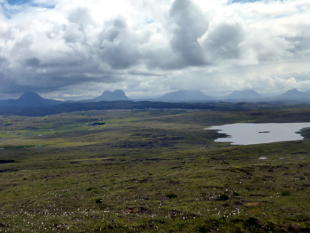 P1160271
 by
Al, on Flickr
 P1160274
 by
Al, on Flickr
 P1160275
 by
Al, on Flickr
Clachtoll
 P1160277
 by
Al, on Flickr
An Dun
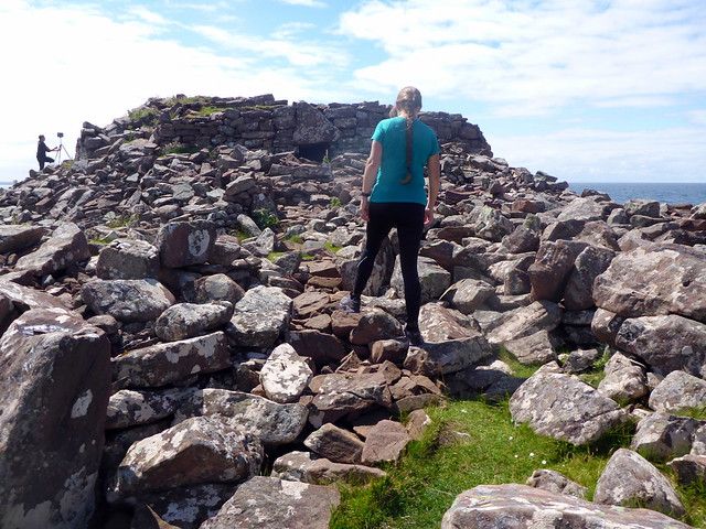 P1160279
 by
Al, on Flickr
 P1160283
 by
Al, on Flickr
Split rock
 P1160287
 by
Al, on Flickr
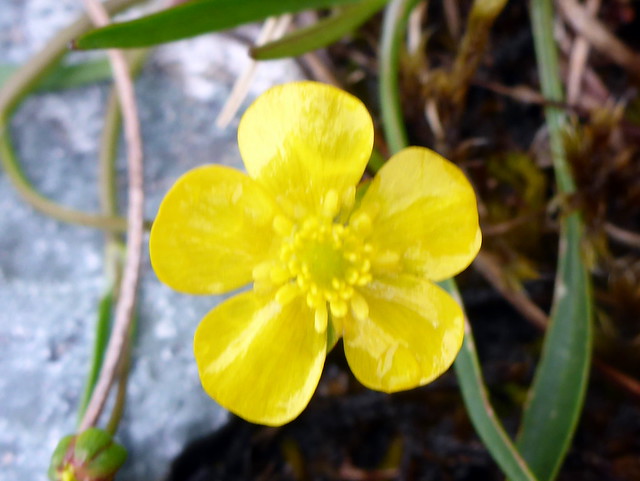
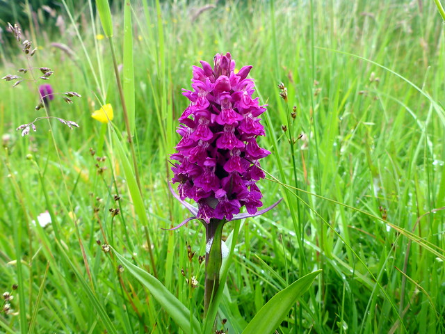
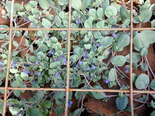
Protected plants
 P1160288
 by
Al, on Flickr
 P1160291
 by
Al, on Flickr
One day...
 P1160292
 by
Al, on Flickr
