walkhighlands

Share your personal walking route experiences in Scotland, and comment on other peoples' reports.
Warning Please note that hillwalking when there is snow lying requires an ice-axe, crampons and the knowledge, experience and skill to use them correctly. Summer routes may not be viable or appropriate in winter. See winter information on our skills and safety pages for more information.

Backside-battering on some obscure Corbetts

Backside-battering on some obscure Corbetts


Postby Jaxter » Thu Jul 06, 2017 11:35 pm

Route description: Gaick Corbetts: An Dun and Meall Creag an Loch

Corbetts included on this walk: An Dùn, Maol Creag an Loch (A' Chaoirnich)

Date walked: 25/06/2017

Time taken: 6 hours

Distance: 27 km

Ascent: 1100m

9 people think this report is great.
Register or Login
free to be able to rate and comment on reports (as well as access 1:25000 mapping).

I wanted to get out on the hills but with the end of term looming I was too tired to formulate a plan. So I messaged Colin, who made a plan. I followed said plan and we met, combined bikes on his rack :shock: and headed up the road.

It was really nice to have some company and (for me anyway) the journey went by very quickly and we parked up on a handy layby on the Southbound carriageway near the Trinafour exit after Colin managed a very nifty manoeuvre to dodge the roadworks.

Bikes unloaded and boots on, released the Hound (just the one this time :lol: ) and set off up the track. This was Jura’s first time out with bikes so we were cautious at first :shock:

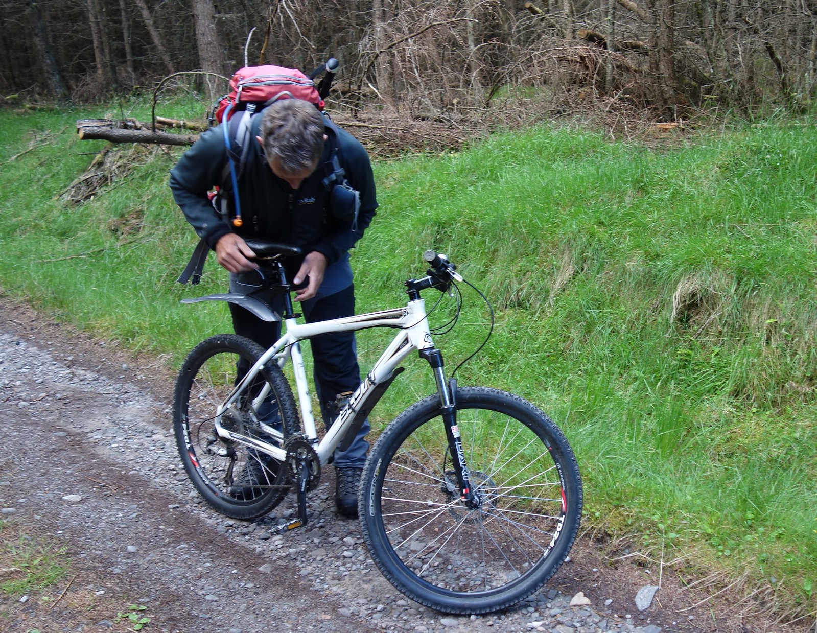
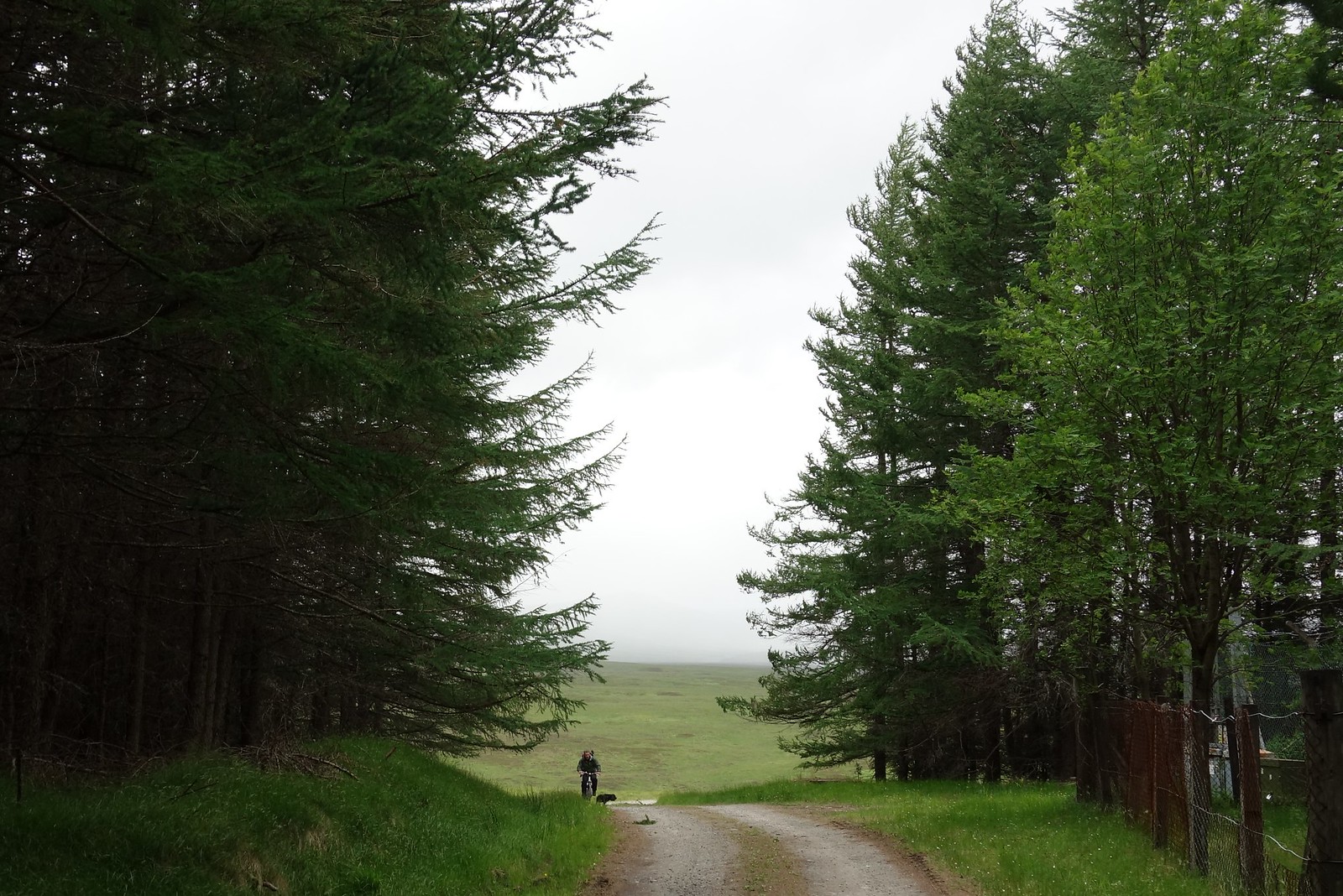
After an initial uphill, the track flattened out and we were into the trees. Here is Colin fannying about with his saddle.
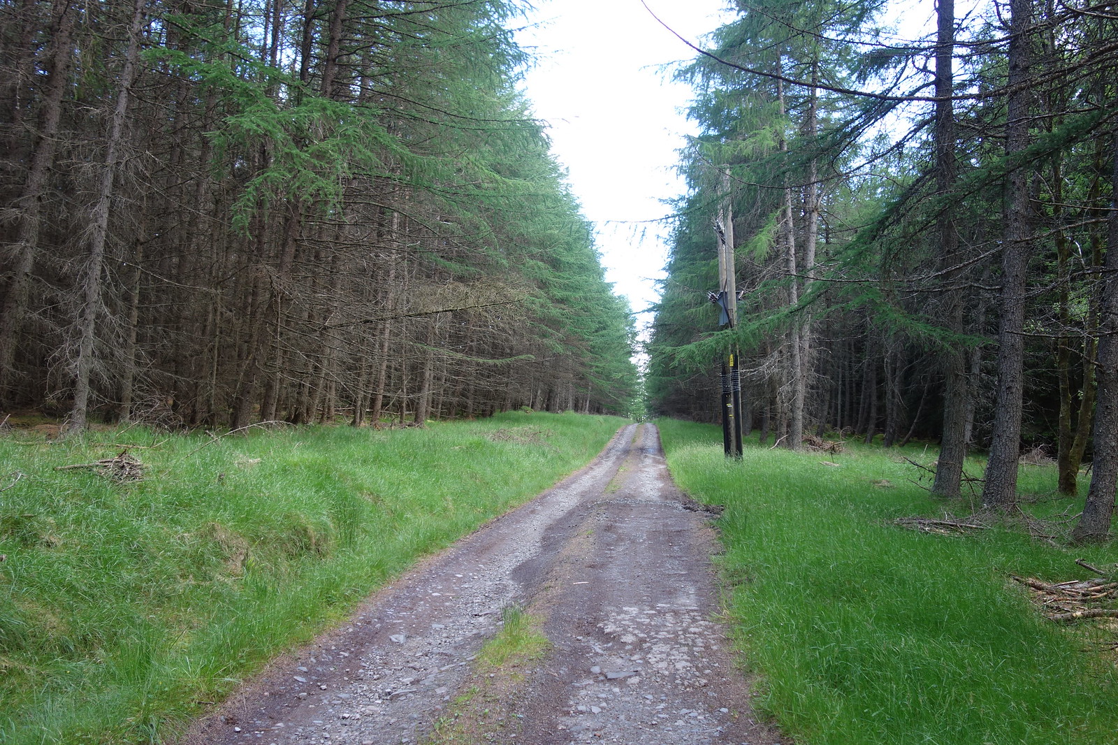
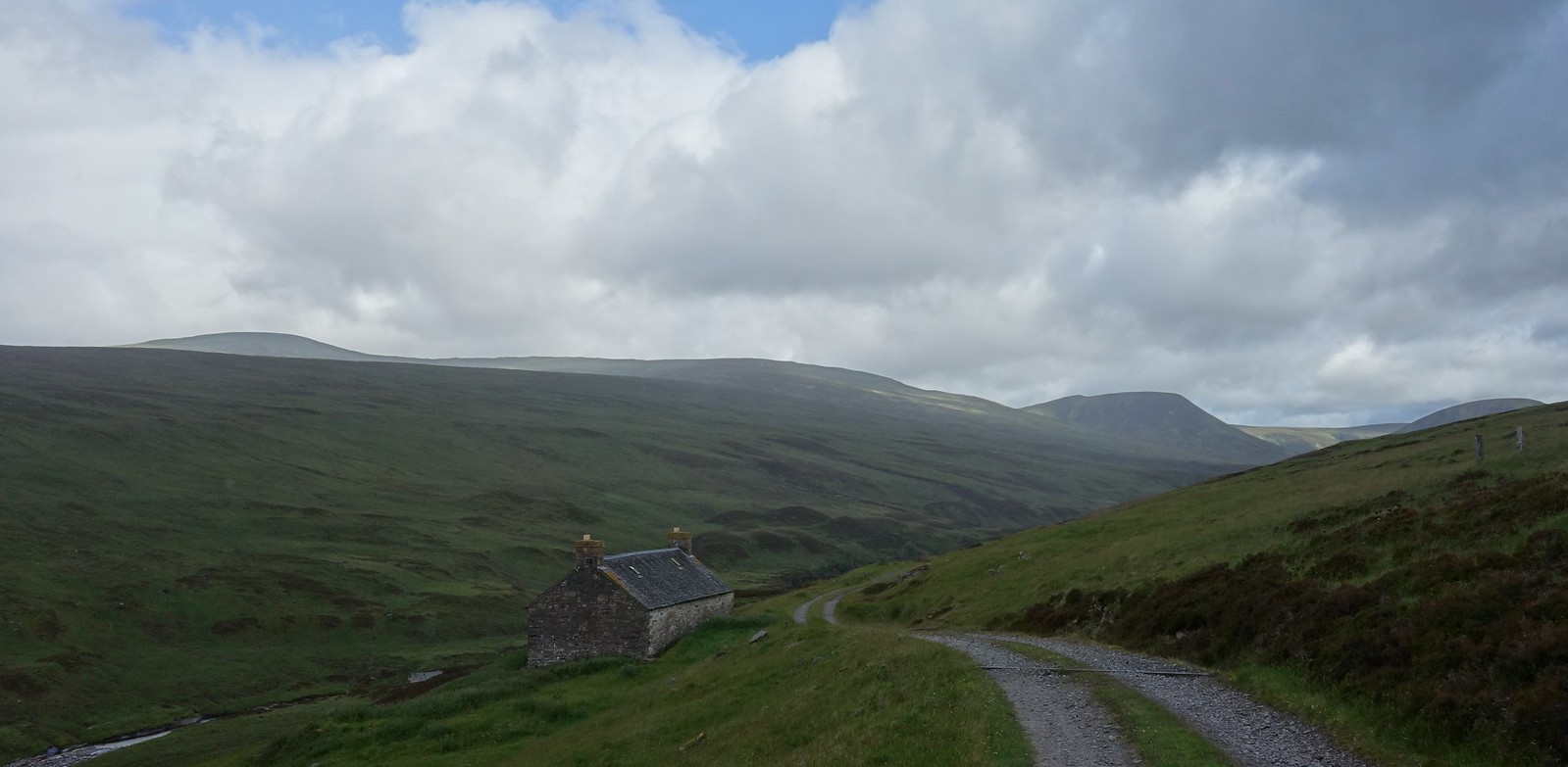
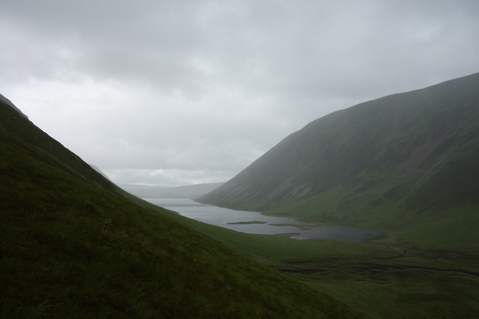
Image

The route ahead
Image

Off I go
Image

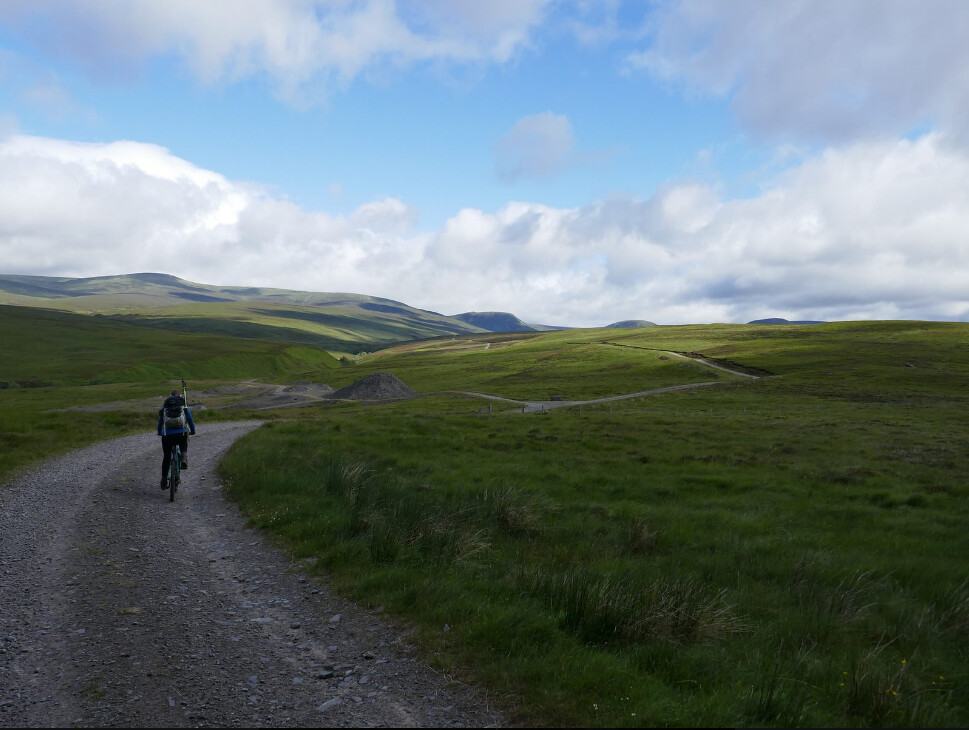
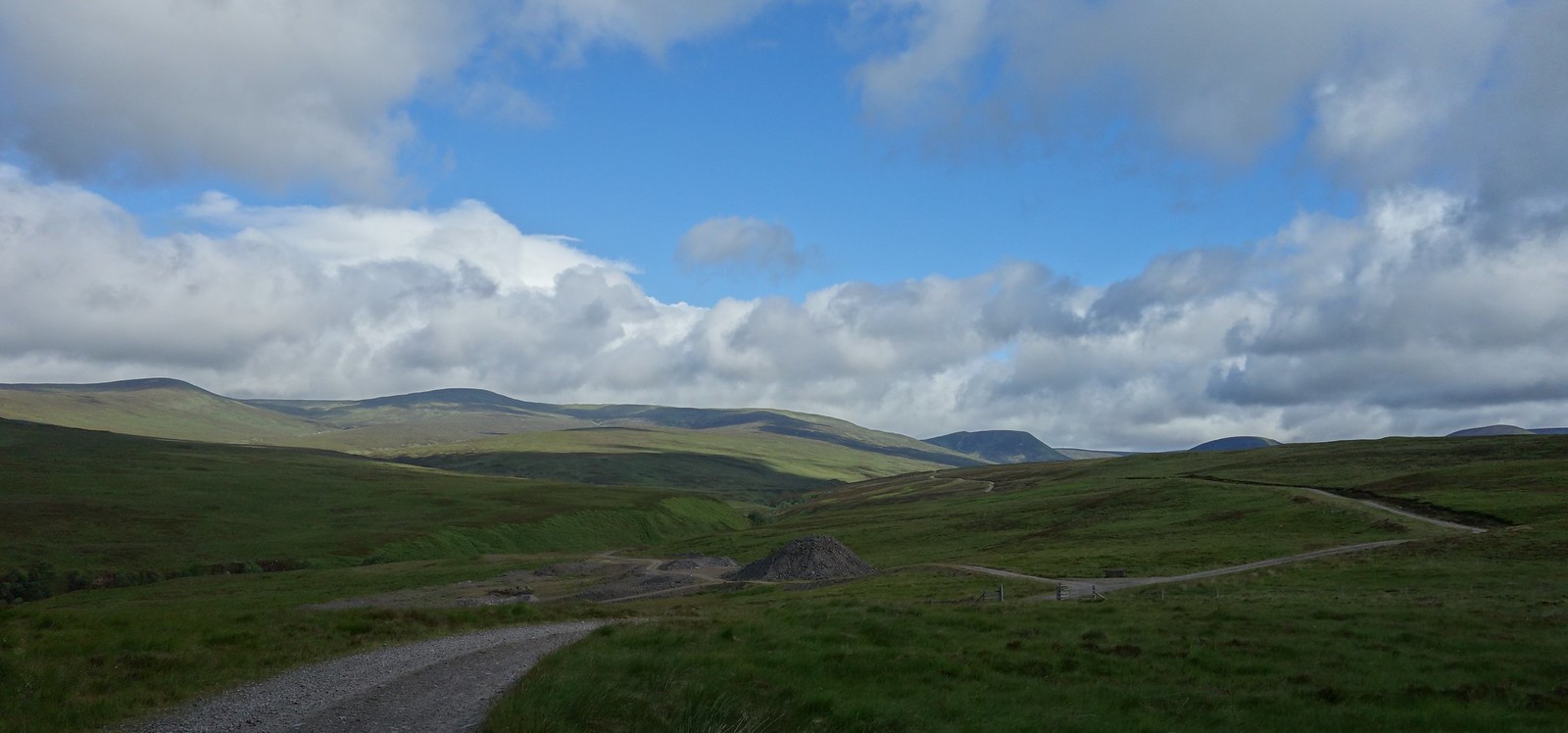
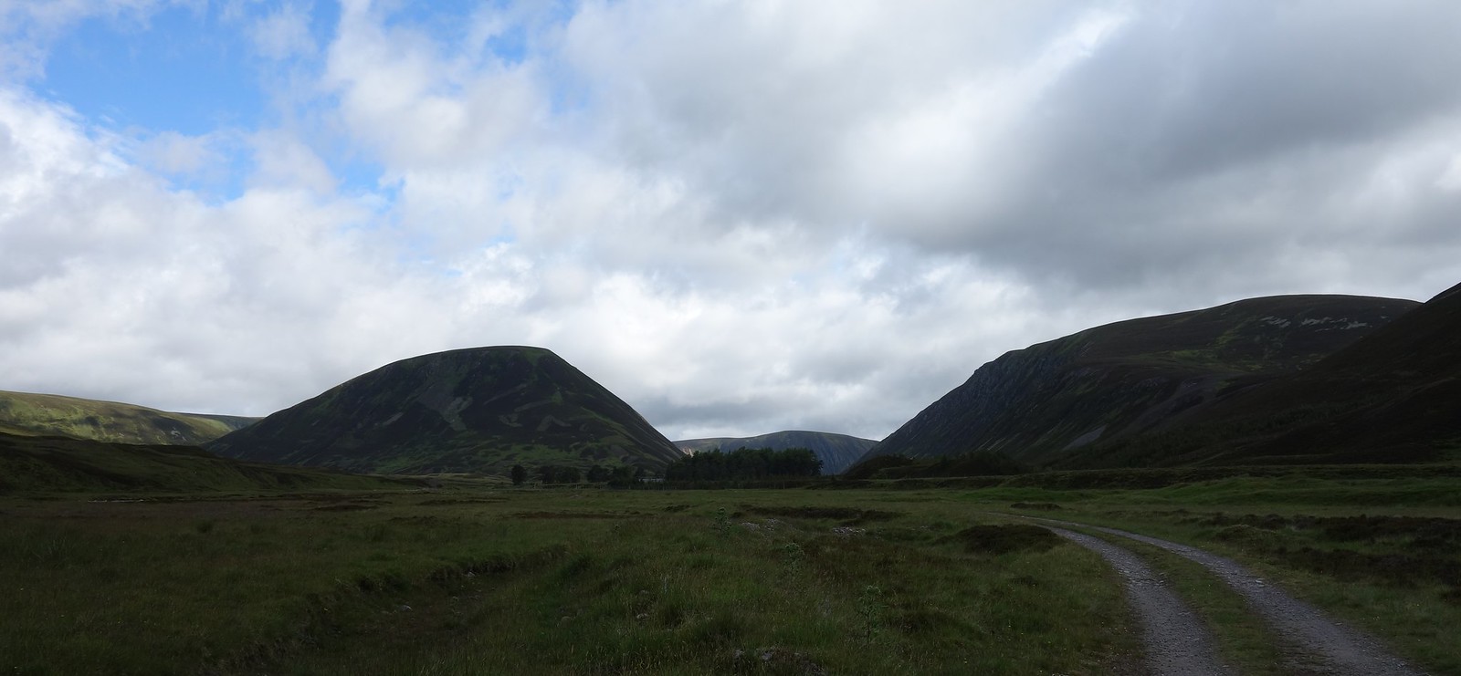
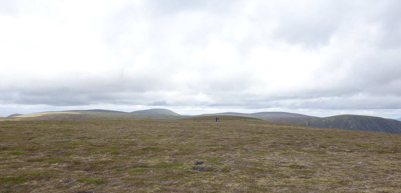
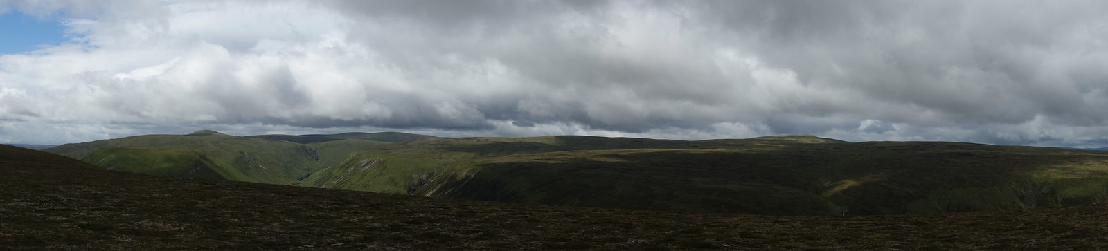
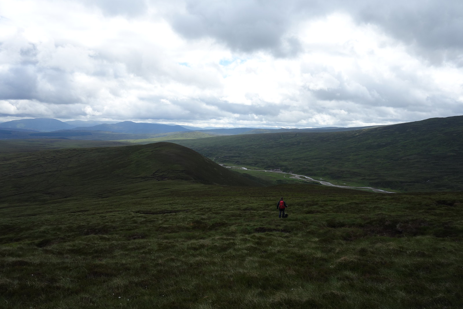
A short distance further, we emerged from the trees to a panorama of rolling hills. The sun was out and it looked to be a good day :thumbup:
Image

Jura hadn’t quite got the hang of Humans on Big Metal Things, and there were a few close calls which made me realise I should probably sort my brakes out :lol:

A downhill section – gonna hurt on the way back!
Image

Speaking of hurting….I’d come out on a bike with no suspension without my padded shorts. Rookie error :shock:

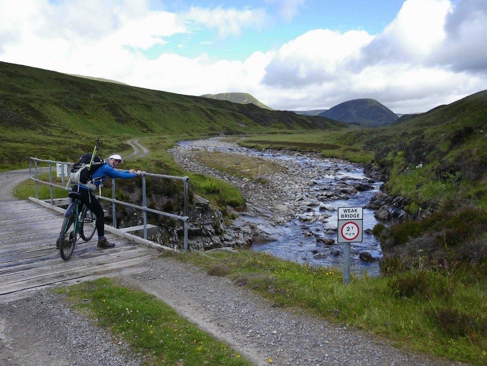
Me trying to work out how weak the bridge was… :crazy:
Image

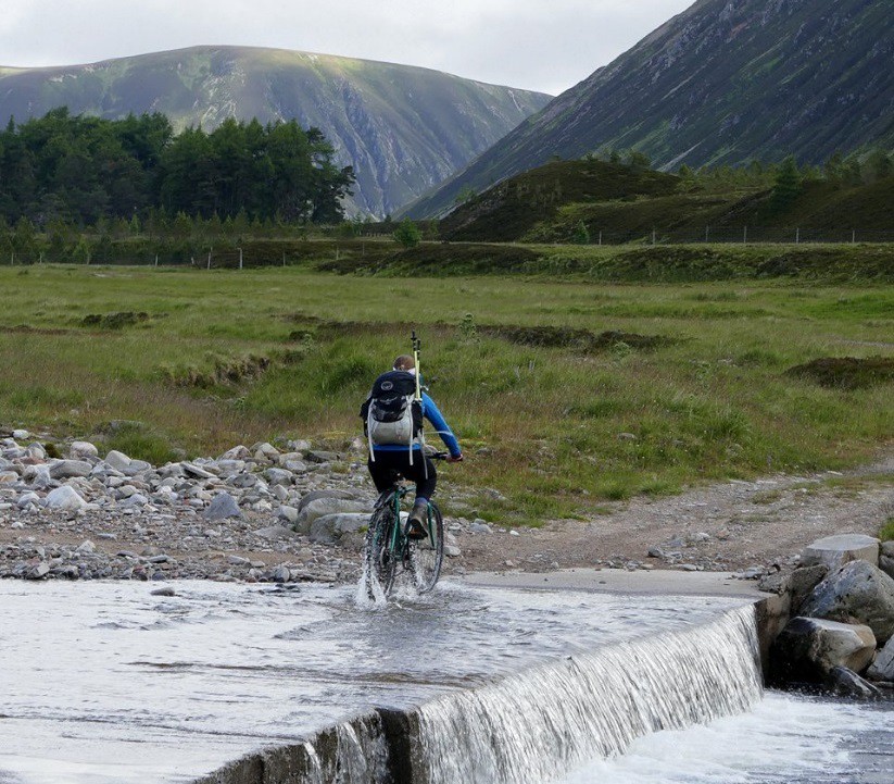
We reached the Ford – fortunately the river was too low to cause any problems but we obviously got pictures during the crossing just in case of any…mishaps :roll:

I was the guinea pig…
Image

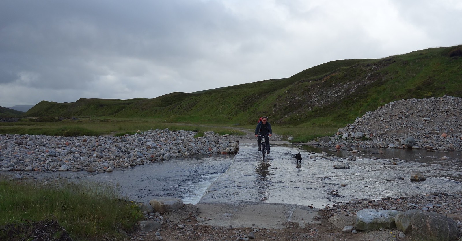
Followed by Colin and Jura (who seemed to have finally got the hang of not committing suicide by bike :lol: )
Image

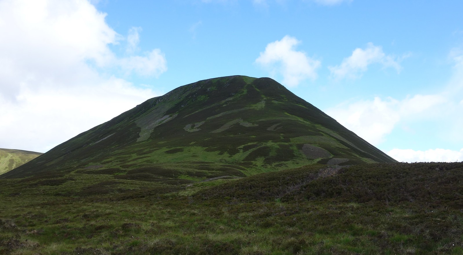
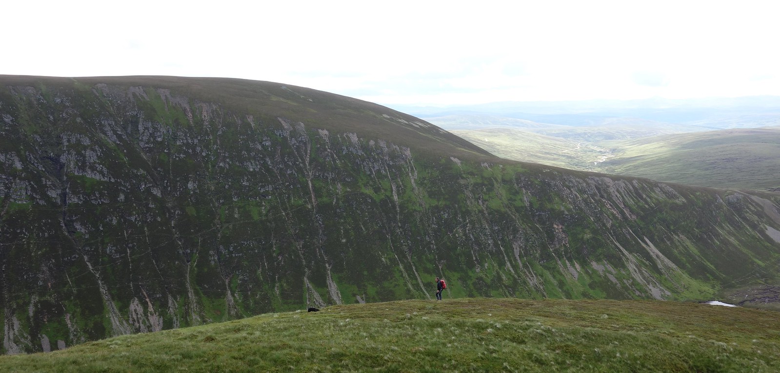
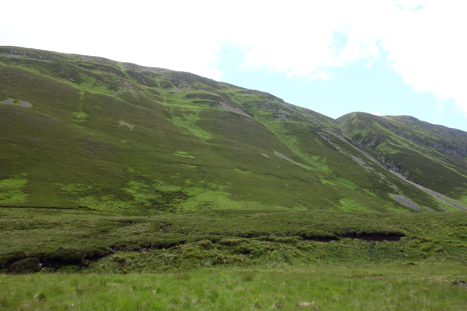
An Dun looked pretty steep….and Maol Creag an Loch impossible :lol:
Image

We dumped the bikes by the fence and continued on foot, picking up a vague path.

Image

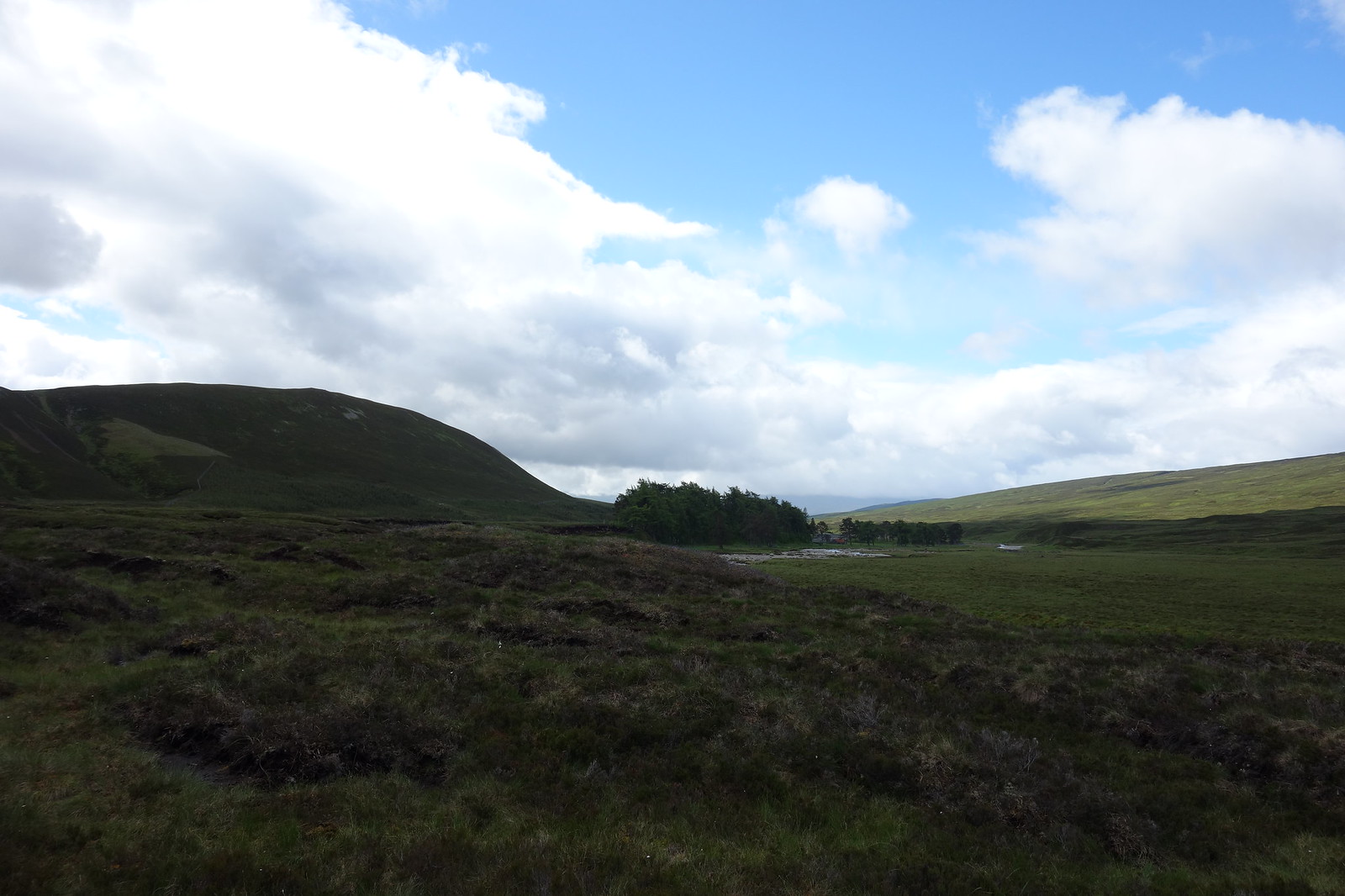
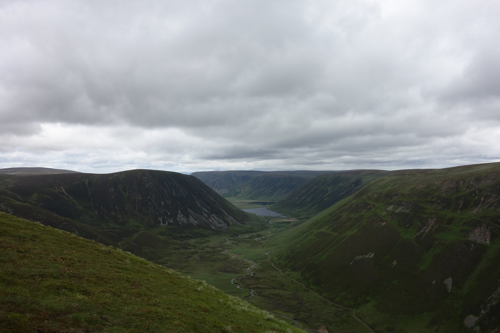
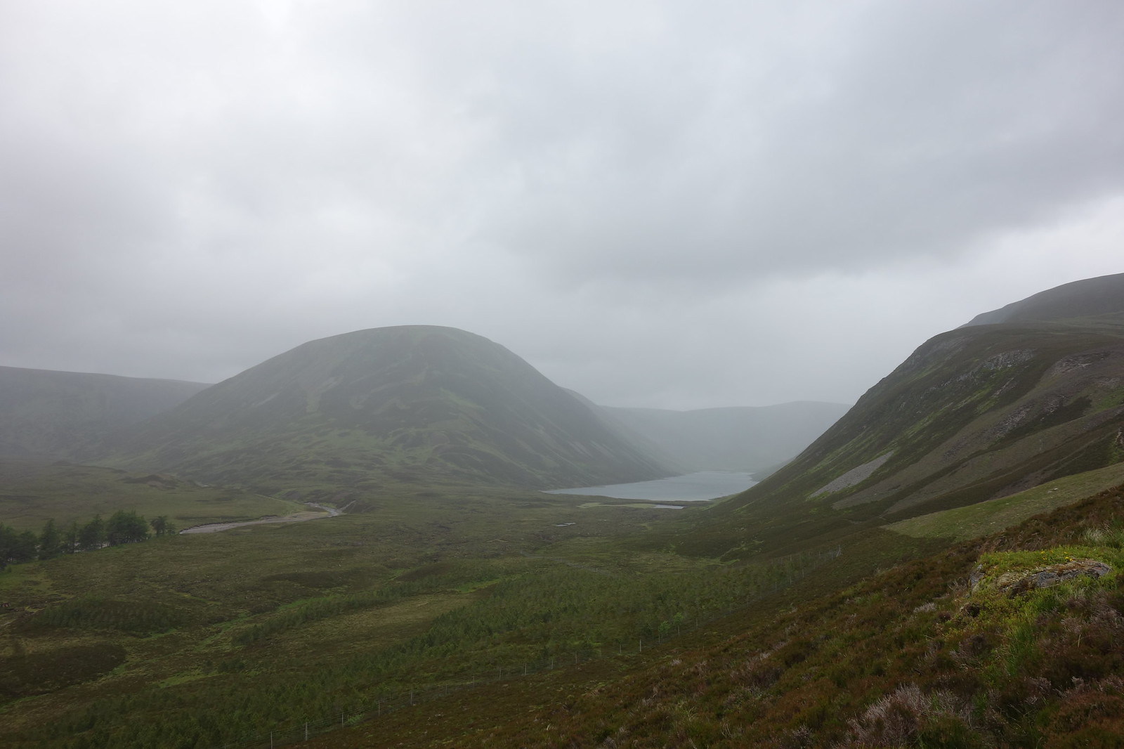
Looking back towards Sronphadruig Lodge
Image

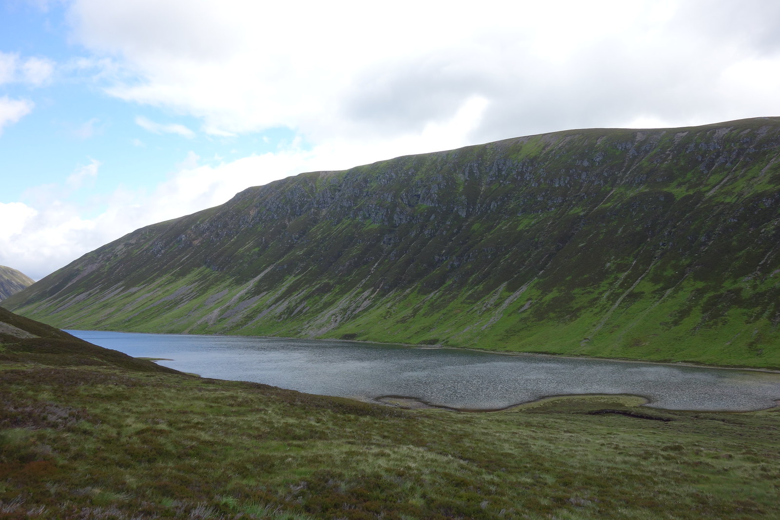
Loch an Duin and the impossibly steep side of Maol Creag an Loch
Image

We were enjoying the path and the banter until Colin said “Aren’t we supposed to be going up this hill not around it?” :lol: We abandoned the path and ploughed upwards through heather and other stuff
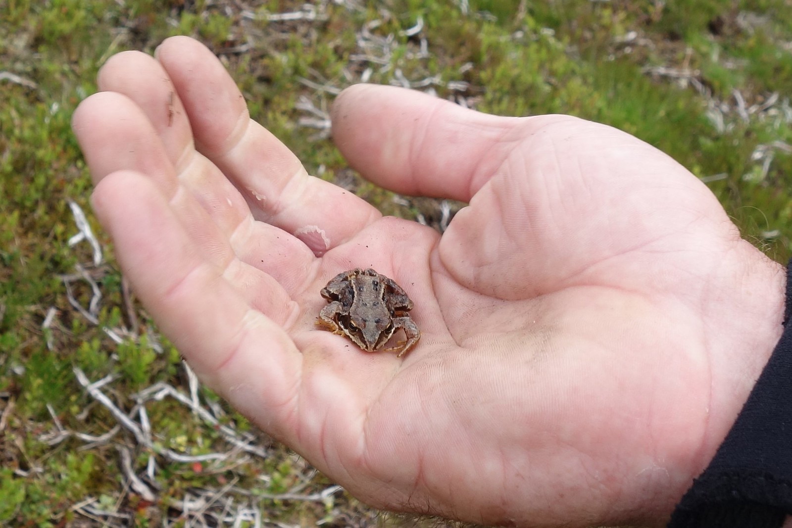
 :crazy:

Colin found a frog:
Image

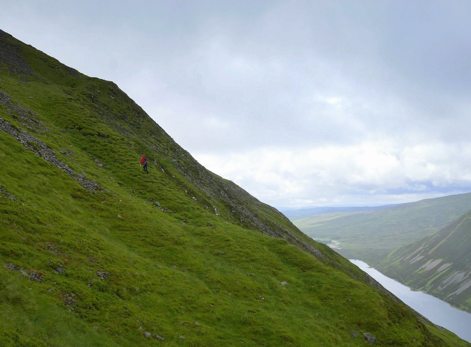
It was steep but nothing we couldn’t handle. The beauty of steep is it gets you up pretty fast :lol:

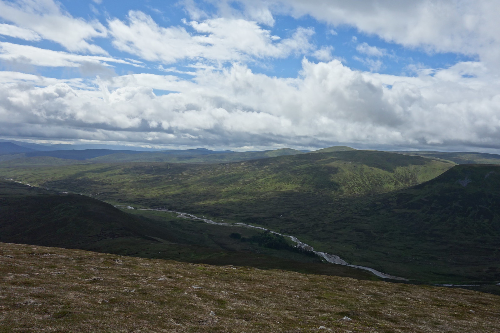
Looking back down the valley
Image

Eventually we met something of a path and two people who we had passed on the ride in. Turned out the dude worked with Colin….small world :lol:

Colin and Jura having a breather (or a “photo break” :lol: )
Image

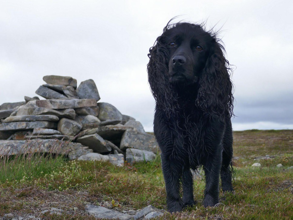
We reached the very flat top and the first cairn. According to the map this cairn and the next one are the same height, but we had to visit them both anyway so it didn’t matter.
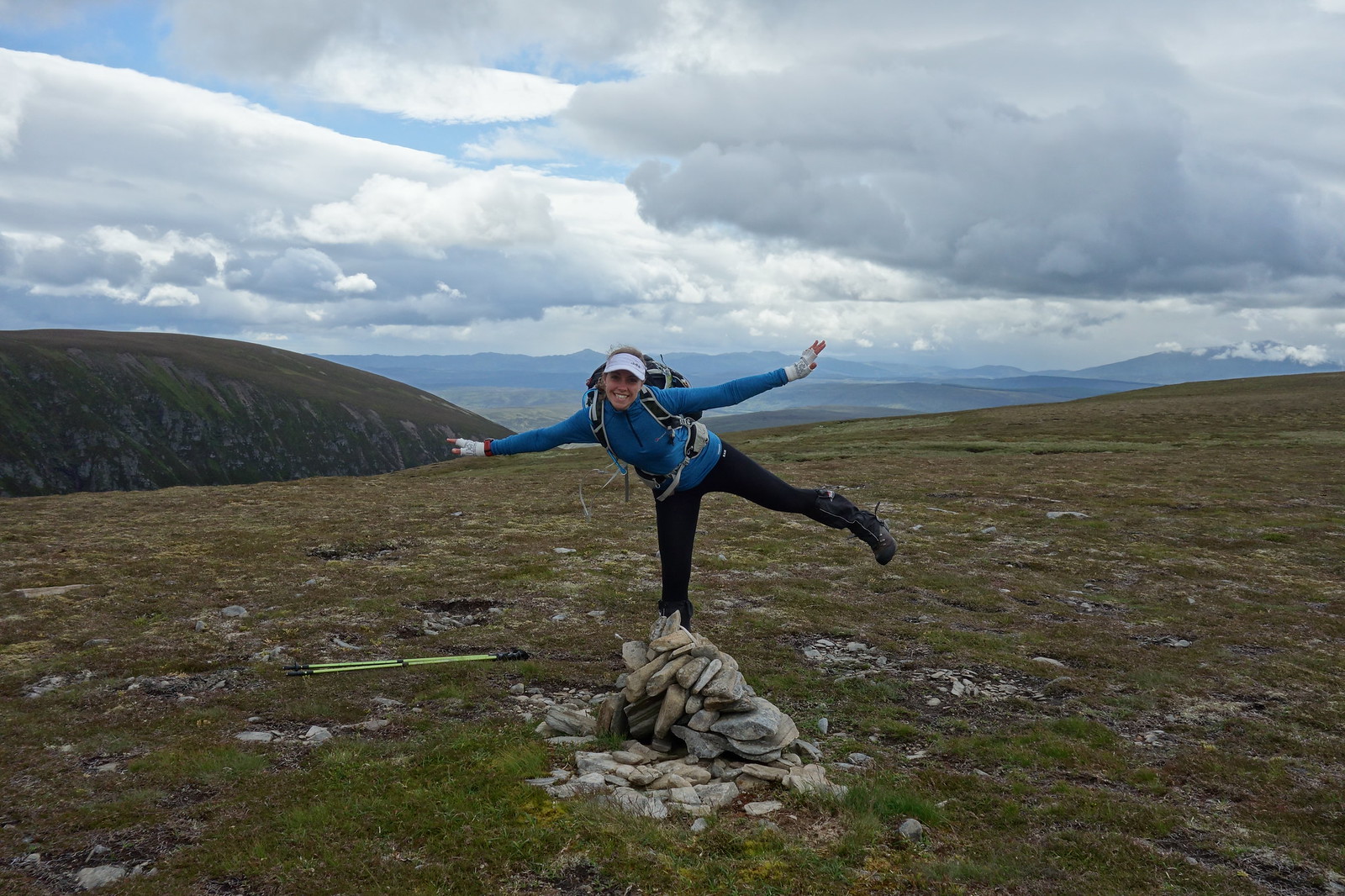
Jura posing
Image

Looking ahead to the second cairn and the other people
Image

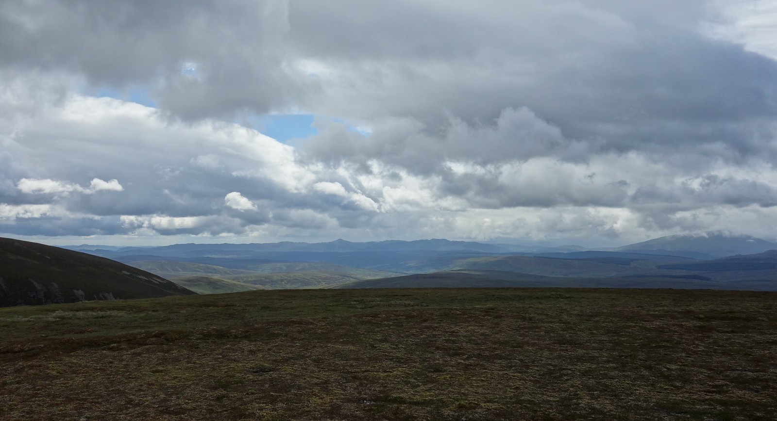
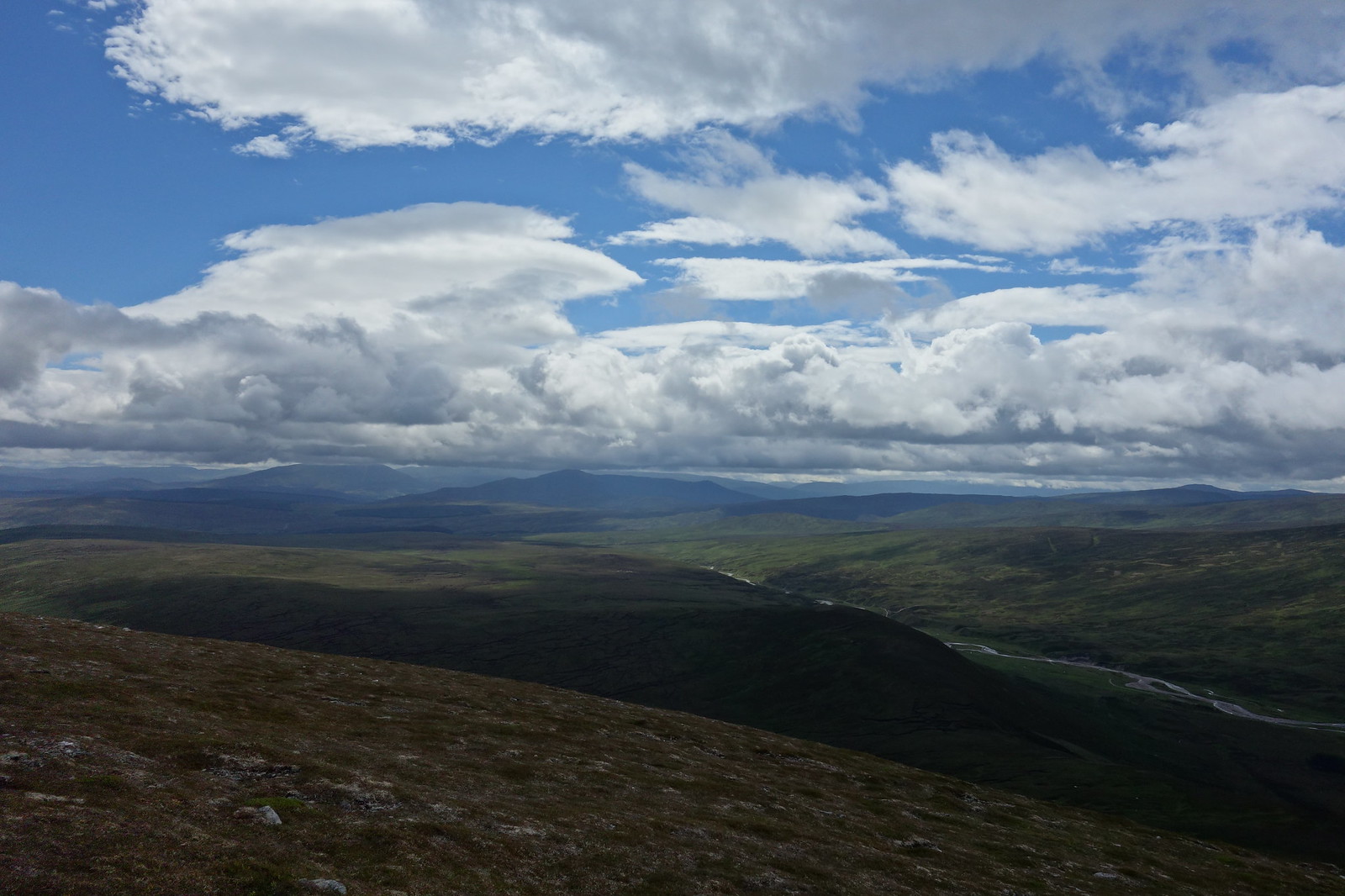
Back the way – an interesting skyline!
Image

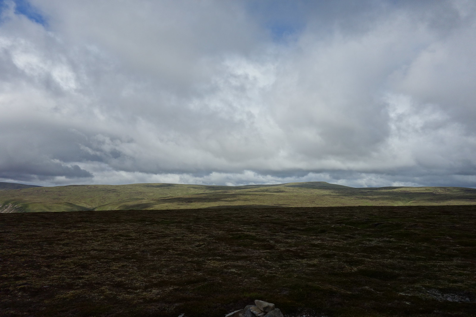
Carn na Caim – a big flat lump!
Image

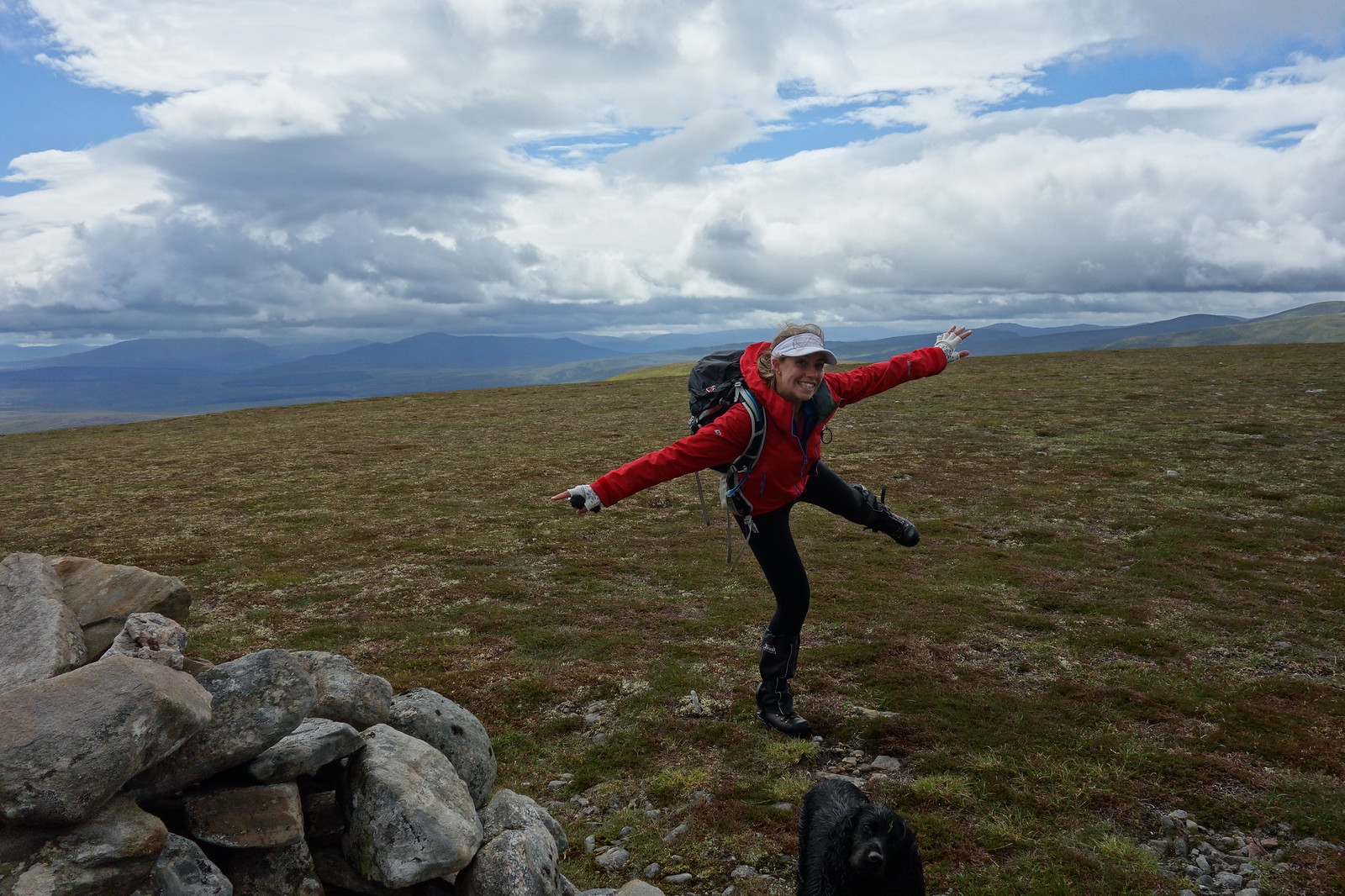
We moved onto the second cairn where some posing was in order
Image

Image

A’ Bhuidheanach Bheag and Carn na Caim
Image

Summit rituals completed, we were off again. The ridge continued for a distance, but then we had to bite the bullet and head steeply down.
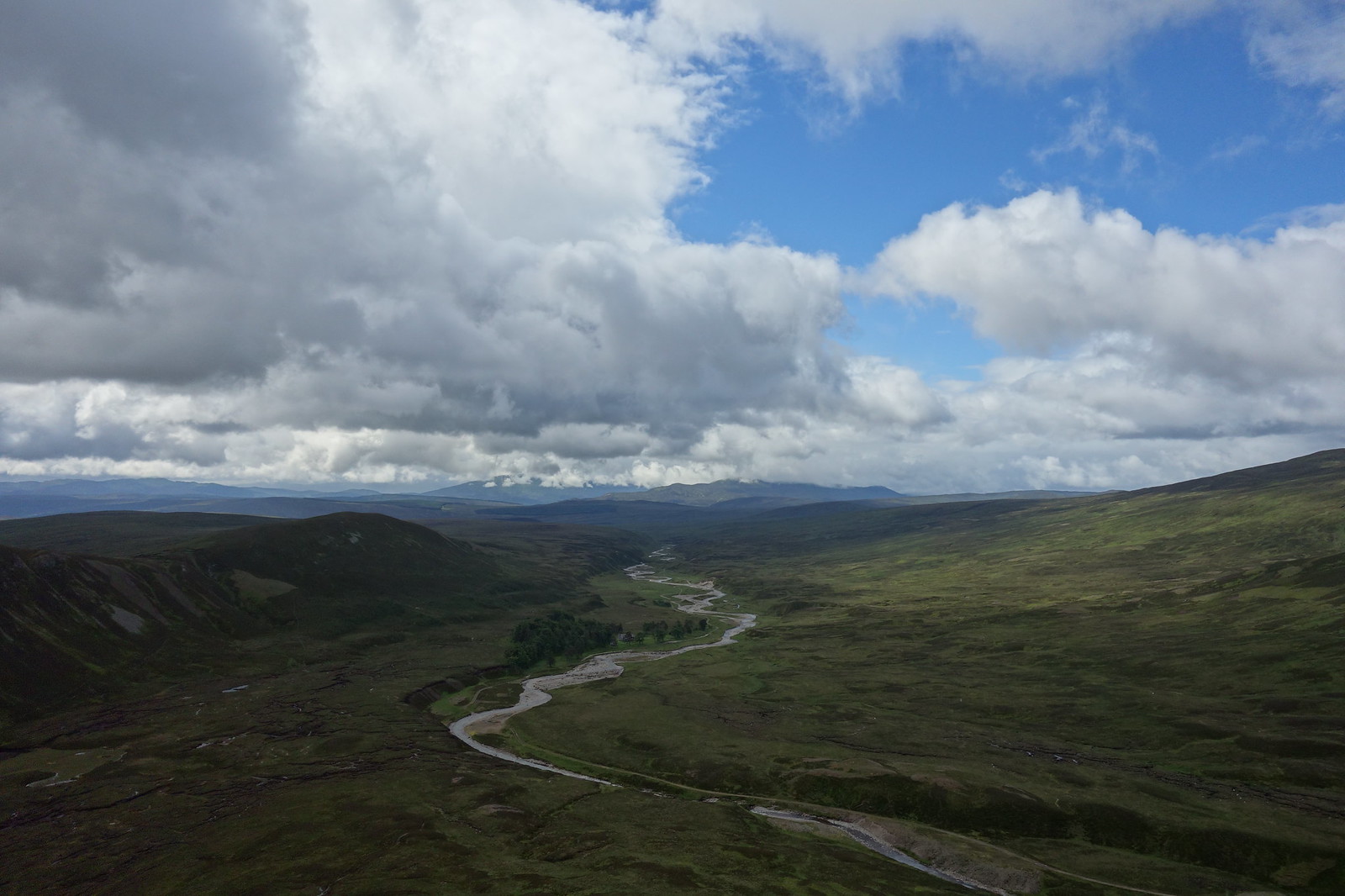
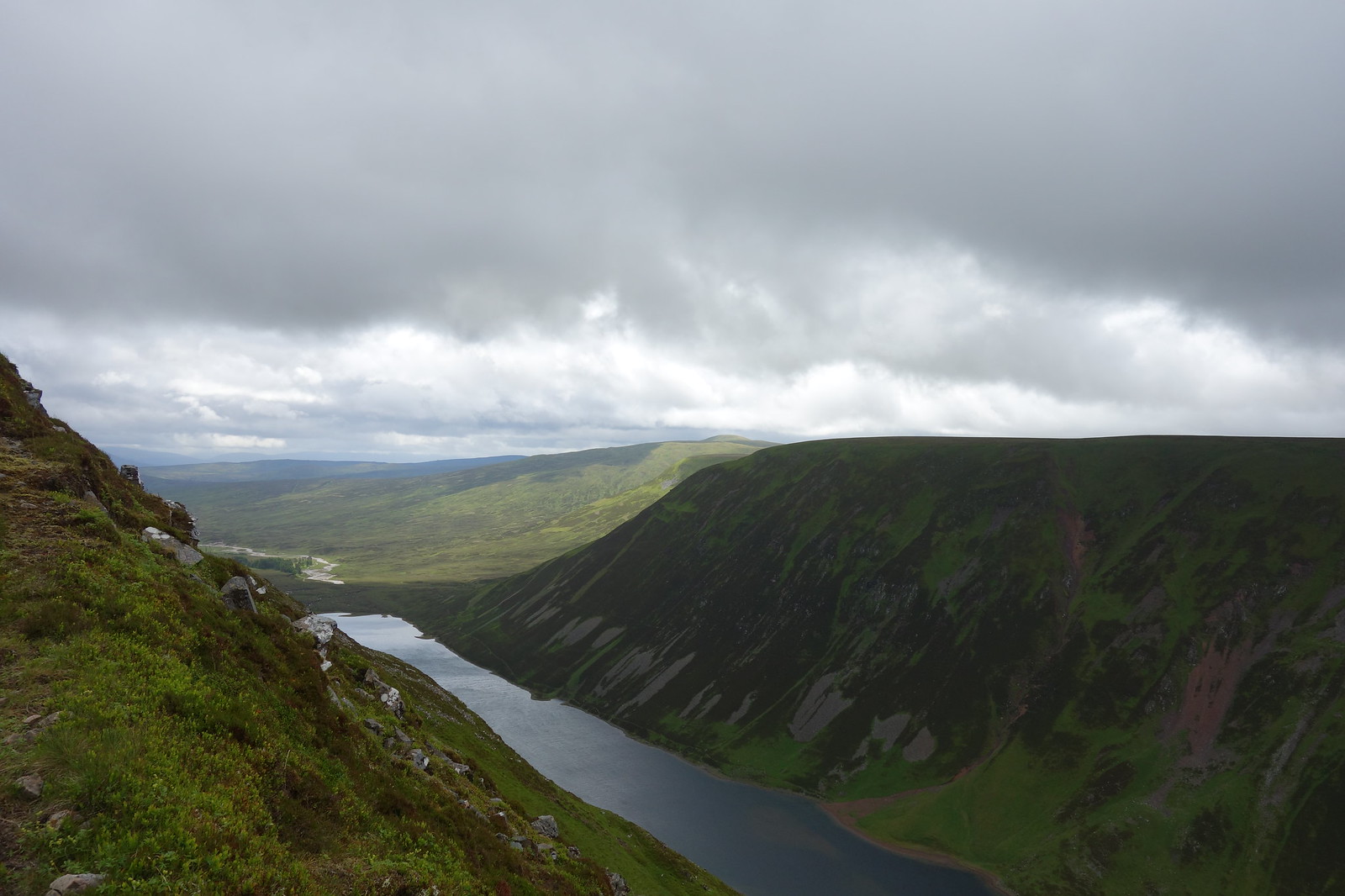
The Gaick Pass
Image

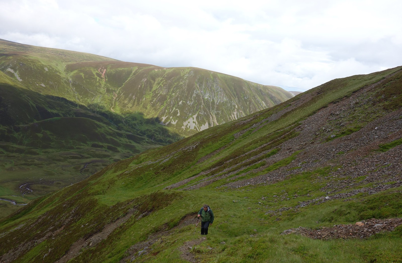
A small knee twinge had me worried as we were in the arse end of no-where :shock: but fortunately after some careful stretching it seemed to disappear. Easily across the river, we decided to have a lunch break. However, mid-sandwich the weather arrived and we hastily put on waterproofs. This gave Jura the opportunity to make a bid for freedom :lol:

Fortunately the shower didn’t seem to be passing anytime soon, so it was time to get going again. We had thought the forecast was to improve throughout the day :roll:

We had decided to cut off some distance and just head up the steep bit:
Image

A glimpse of clarity
Image

It was a case of head down and get on with it, and we gained height quickly although not necessarily with any dignity….Wet grass, need I say more? :lol:

Once up the worst of it, I spied a wee ridge heading diagonally upwards.
Image

Colin following my ridge
Image

The rain had finally eased!
Image

This brought us out on a plateau. We could see the people ahead of us heading towards a large cairn (presumably the summit although it looked lower). There was a wee cairn fairly close so we decided to visit that too, making jokes about Corbett Tops :lol: Are they even a thing?!

As I discovered later, it was a good job we did go there, as it was in fact the real summit despite having a diddly cairn :lol: 
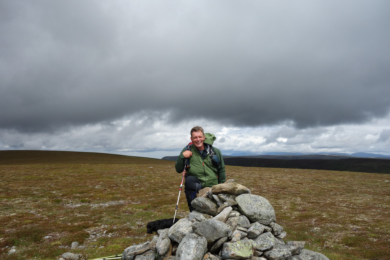
However, we made our way to the larger cairn for photos.
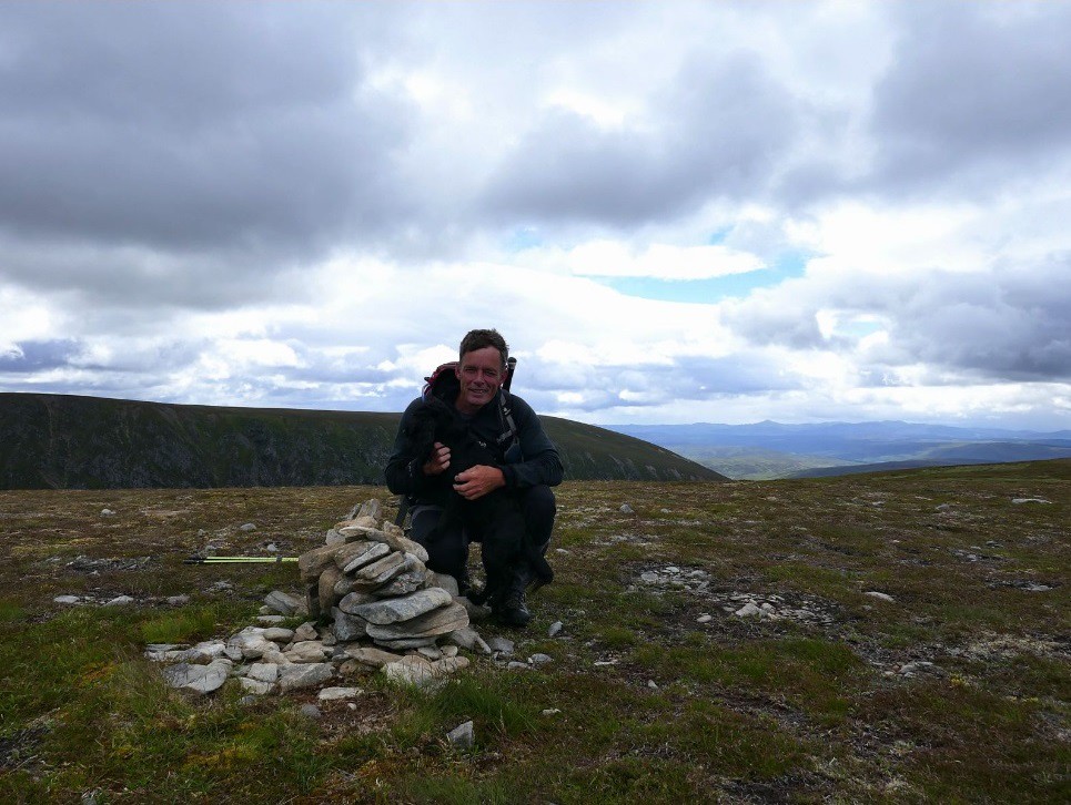
Colin and Jura
Image

Jaxter being photobombed by Jura
Image

Although the rain had let off for now, it was very windy and we didn’t hang around for too long. The route was easy from here – followed the ridge to the deer fence.

Doon
Image

I think those are the Alder Hills in the distance?
Image

Colin and Jura leading the wayImage

The rain decided to return and leggings were hastily reapplied. We followed the deer fence through a bog and we were back at the bikes – hooray!

Weather…
Image

Back on the bikes, we were racing against the weather. We overtook the others who were going to get pretty wet and pelted doon the track. Fortunately Jura seemed tired enough to stay out of the way!

Back at the forest we had just left the weather behind.
Image

And we arrived back at the car in the dry. Celebrating prematurely, we ditched the waterproofs only for the rain to start and we got pretty wet putting the bikes on the car (especially Colin because he’s a gentleman :wink: ) My Fenix was telling me I’d burnt about 5000 calories as it thought I’d walked the whole way :lol:

It was a wet journey home and I felt the previous night’s lack of sleep catching up with me :lol: Thanks again to Colin for the excellent company :thumbup:


An Dun Maol Creag an Loch.gpx Open full screen  NB: Walkhighlands is not responsible for the accuracy of gpx files in users posts

User avatar
Jaxter
Wanderer
 
Posts: 1486
Munros:217   Corbetts:141
Fionas:91   Donalds:49+13
Sub 2000:131   Hewitts:69
Wainwrights:81   Islands:35
Joined: Aug 8, 2011
Location: Glasgow/Inverness

Re: Backside-battering on some obscure Corbetts

Postby Mal Grey » Fri Jul 07, 2017 9:38 am

Interested to see this, as I've come across that steep-sided pass whilst wandering around the area...virtually, on a map...and wondered what it looked like in the flesh. Now I know!
User avatar
Mal Grey
Wanderer
 
Posts: 4635
Munros:113   Corbetts:23
Fionas:12   
Sub 2000:9   Hewitts:116
Wainwrights:71   Islands:6
Joined: Dec 1, 2011
Location: Surrey, probably in a canoe! www.wildernessisastateofmind.co.uk

Re: Backside-battering on some obscure Corbetts

Postby BlackPanther » Fri Jul 07, 2017 10:44 am

Not as obscure as you think, we did them three days before you :D but didn't use bikes, though I must admit this track is asking for cycling.

According to Graham Guide, the second (northern) cairn on An Dun is the true summit, not that it makes much difference when traversing the hill. We descended the other side of that wee gully, which looked a bit less steep from above but was probably just as bad...

I'm still behind with my TR's and have another one to post before writing about the An Dun walk, but here is a little panorama of Loch an Dun:
Image
User avatar
BlackPanther
Mountain Walker
 
Posts: 3841
Munros:268   Corbetts:182
Fionas:136   
Sub 2000:76   
Joined: Nov 2, 2010
Location: Beauly, Inverness-shire

Re: Backside-battering on some obscure Corbetts

Postby PeteR » Fri Jul 07, 2017 7:49 pm

I'm sure that Gaick pass is haunted. On the walk in and out I swear I heard voices when I did these two, but not a soul about or seen all day.

Helped me focus on walking fast mind :lol:
User avatar
PeteR
Munro compleatist
 
Posts: 2108
Munros:282   Corbetts:173
Fionas:122   Donalds:89+52
Sub 2000:200   Hewitts:3
Islands:9
Joined: Jan 27, 2010
Location: North Ayrshire

Re: Backside-battering on some obscure Corbetts

Postby Driftwood » Fri Jul 07, 2017 7:55 pm

Obscure? It seems like most of Walkhighlands were up there in June, as I walked these pair on the 17th. :lol:

Being a bit ... different ... I did them on foot, but over from Drumochter Pass combined with the Munros in that direction. Which doesn't actually add much distance, but involves a fair bit more height and gave me a bit of navigation practice as well as a hare-raising encounter.

I also used that little grass rake / ridge / gulley / feature, in my case to descend Maol Creag an Loch, which I knew by its alias of A' Chaoirnich. I tend to end up doing a lot of steep, often-heathery descents. But I nearly needed to use some extra "points of contact" (my back end) to cope with some of that ridiculous slope.

And, like BlackPanther, my walk report is stuck in a queue to do :roll:
User avatar
Driftwood
Mountain Walker
 
Posts: 334
Munros:244   Corbetts:60
Fionas:35   Donalds:27+23
Sub 2000:19   
Joined: Jun 9, 2011

Re: Backside-battering on some obscure Corbetts

Postby tall-story » Sat Jul 08, 2017 10:27 pm

Well done Jaxter :thumbup: That wee report sums that wee pair o` hills up well :) and I see some of my photos fitted in just fine too. I hope yer buns are feeling a bit better now, if I had known you had such a rickety auld bike and such a bonny/boney erse :wink: you could have had ma bike as I have plenty padding on ma rear :shock: Thank you for the company too apart from you sleeping most of the way down the road :lol:
tall-story
Walker
 
Posts: 295
Munros:160   Corbetts:222
Fionas:43   Donalds:22
Sub 2000:1   Hewitts:21
Wainwrights:21   
Joined: Jan 16, 2010
Location: Doune

Re: Backside-battering on some obscure Corbetts

Postby Jim777 » Sun Jul 09, 2017 8:15 pm

Was recently, 25th May, up Creag an Loch but went up from Dalnamein where if you go down to the water you can get a picture of 3 bridges. The route takes you up through the ruins of Glas Choire Lodge. Where the track splits just after this take the left hand one down past the dam where SSE are currently having a fish ladder installed. The track on the 1:25,000 map is shown as stopping at about 680m but in fact carries on over Pt 793 and past Pt 753 to the end of the plateau. From there I ascended North to just past Pt 840 before descending West to the col at Pt 752. From there I could see my goal for the day, the remains of Loch Trieg Bothy at NN76097935. This is the remains of an old Watchers Bothy. These were bothies, normally situated at the head of corries, where old stalkers were put to keep deer on and poachers off the estate. This bothy is called Loch Trieg because one of its residents once walked over to Loch Trieg to retrieve some wandering sheep - or so the story goes. There was a small pool situated beside the bothy remains which was absolutely teeming with tadpoles. From there it was just a short walk up the hill to the summit at Pt 875. For the return I headed South to the nose of An Sligearnach and then descended South East to the confluence of the Allt na Sligearnaich and the Allt Glas Choire to the remains of the Red Bothy where I disturbed a deer cooling down in the burn. From there it is about 1 km over rough tussocky ground to gain the track back out passing the remains of Summer sheilings. There are the remains of other watchers bothies on the Atholl Estates if anyones interested.
Jim777
Mountain Walker
 
Posts: 104
Joined: Apr 24, 2017
Location: Perth

9 people think this report is great.
Register or Login
free to be able to rate and comment on reports (as well as access 1:25000 mapping).


Can you help support Walkhighlands?


Our forum is free from adverts - your generosity keeps it running.
Can you help support Walkhighlands and this community by donating by direct debit?


Return to Walk reports - Scotland

Who is online

Users browsing this forum: Bikerbabe9, ChuckleberryFinn, KatTai, Millipede1969, moragsmart1, mtennant and 138 guests