free to be able to rate and comment on reports (as well as access 1:25000 mapping).
Day three: Beinn EigheTo give me an understanding of the terrain of Beinn Eighe’s western summits, I had broken the route down into legs. I had written a route card with the height gained and (optimistic) leg timings. The circular route starting at NG 957 568, was one I had familiarised myself with from WH reports and various guide books; even so I wanted to practise route cards/navigation on what seemed a straightforward route in clear conditions, in preparation for future, more navigationally taxing walks.
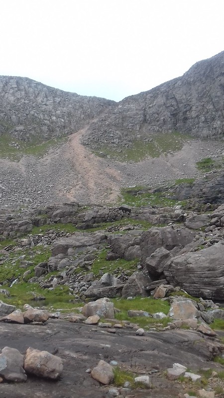
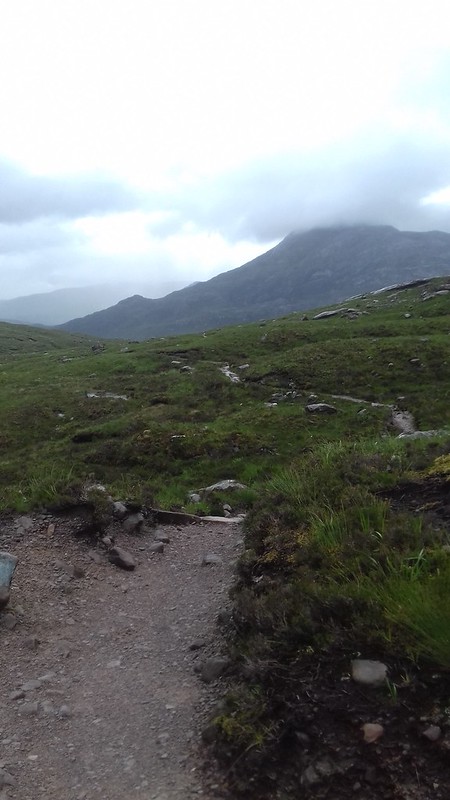 The path through Coire Dubh Mor
The forecast on MWIS had been for 80% cloud free Munros but the initial walk in was wet. I had full waterproofs on when I had started at 09:14:06. The track was well made and it followed the Allt a’ Choire Dhuibh Mhoir through the Coire Dubh Mor with the Beinn Eighe southern bulk on my right and the eastern buttress of Liathach to my left.
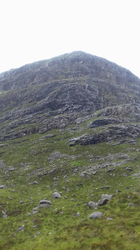 Liathach's eastern buttress
 Liathach coire
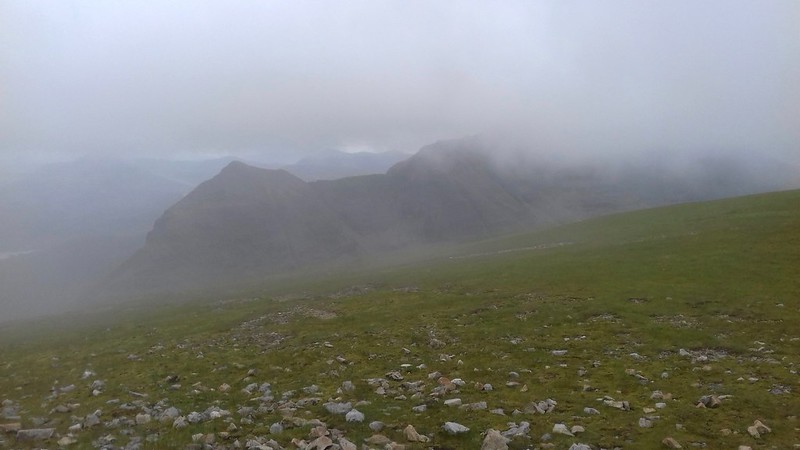
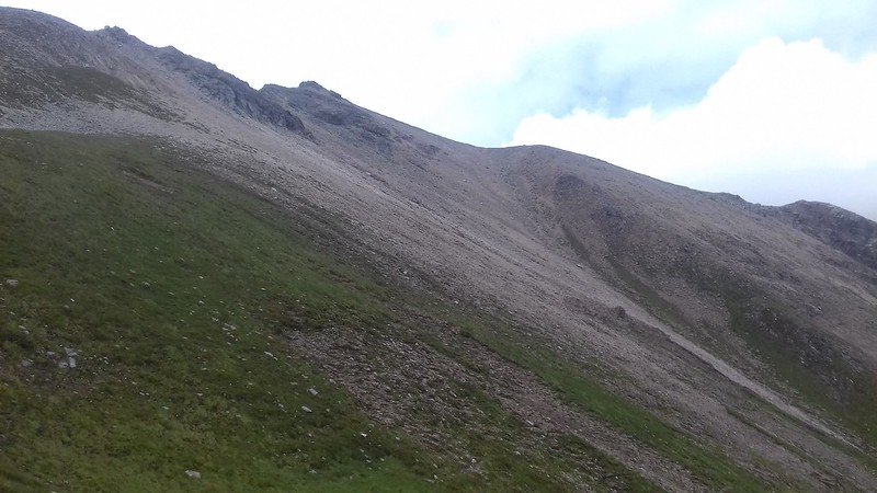
As I gained height at 410m the path split with the north path to Eighe contouring around the base of Sail Mhor. A huge vista of lochans and flat green land opened up with all those mountains I had read about so much: Beinn Dearg and Beinn Alligin bursting into prominence.
 Beinn Dearg
 Beinn an Eoin and Baosbheinn
 Particularly visible was Beinn a’ Chearcaill, a mountain I had been unfamiliar with, imposing itself as the path swung east below Sail Mhor’s massive buttresses. The scree slope between split the buttresses into a mirror image of each other.
 Beinn a' Chearcaill
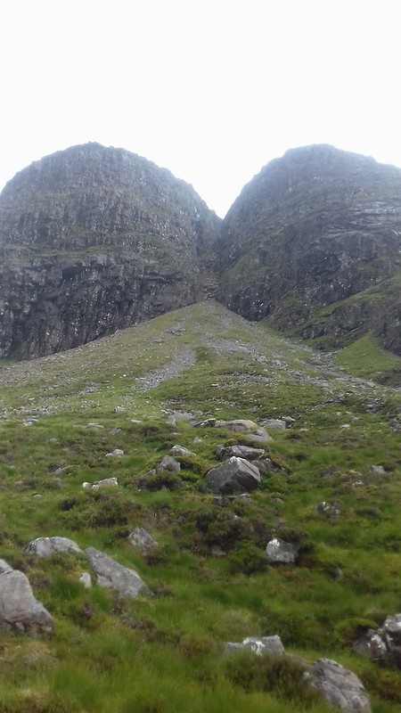 Buttress symmetry
 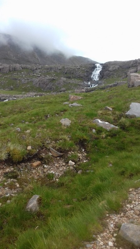 Cascading from Loch Coire Mhic Fhearchair
The sky was leaden and Ruadh-stac Mor was in cloud. The cascades were vigorous over the rock step out of Loch Coire Mhic Fhearchair and after I had climbed up to the corrie to cross the outflow I encountered a problem. I couldn’t cross the outflow. There were obvious large boulders that I imagined were used to ford the stream but as some of these were one to two metres apart I would undoubtedly have had to wade...and get wet. Perhaps there were other places to cross but I couldn’t locate them. Alteknacker had wisely suggested in a forum posting that rubble bags were a good solution to crossing streams but I had forgotten to buy them. The only option was to take the route on the west side of the loch under the buttresses of Sail Mhor.
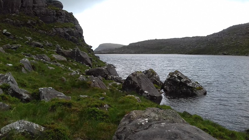 West side
The initial section was bouldery but easily passable. One section where the slope seemed to form a wall against the loch showed evidence of a path. After the unease at finding myself unable to cross I actually enjoyed the walk round the west side of the loch. However, with my concerns I didn’t fully appreciate the massive splendour of the corrie until I was under the triple buttresses and I didn’t take many photos. There were a number of sections in all of the walks this week when I really had to concentrate and taking photographs became a bit of a distraction.
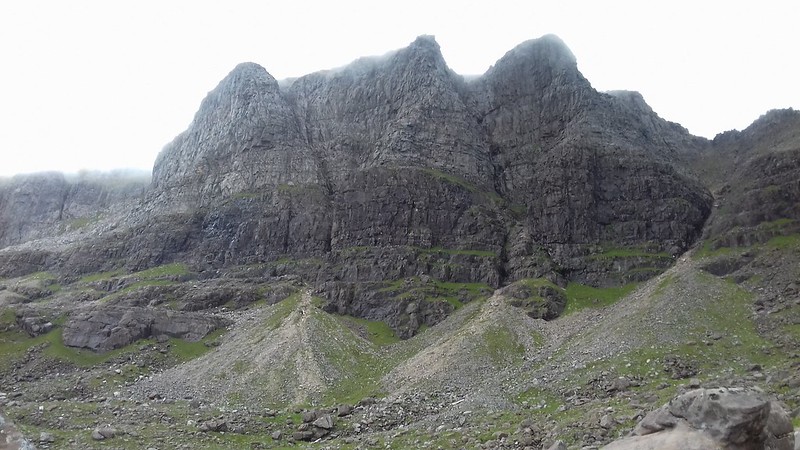 The triple buttresses
I stopped for a bite to eat and it is only now, writing this report I feel sadness when I realise it is at the Far West Gulley known as 'Fuselage Gulley' that the Lancaster crashed with the loss of eight crewmen. I think I recall reading about this in one of the WH reports but it wasn’t until reading the report by BP on the Fairy Lochs yesterday that this incident was brought home to me. I had been walking through the corrie as part of a holiday, when many decades before men had lost their lives in awful conditions. It’s very sobering.
![20170703_115254.jpg]()
- Buttresses and boulders
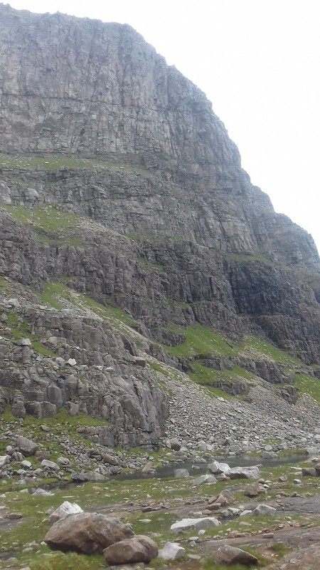 Quartzite scree and sandstone boulders
The next challenge was the ascent of the scree chute onto the col below Ruadh-stac Mor. The quartzite and sandstone divisions are impressive as are the scree channels cascading between the buttresses... but to climb up one! Actually, I found this steady going – more satisfying than An Cabar on Ben Wyvis. If you keep to the left near to the solid ( though sometimes not very solid) pre-scree the ascent was straightforward. Then suddenly it's all over. You are on to the col and Torridon’s magnificent panoramas are laid before you.
 The scree chute
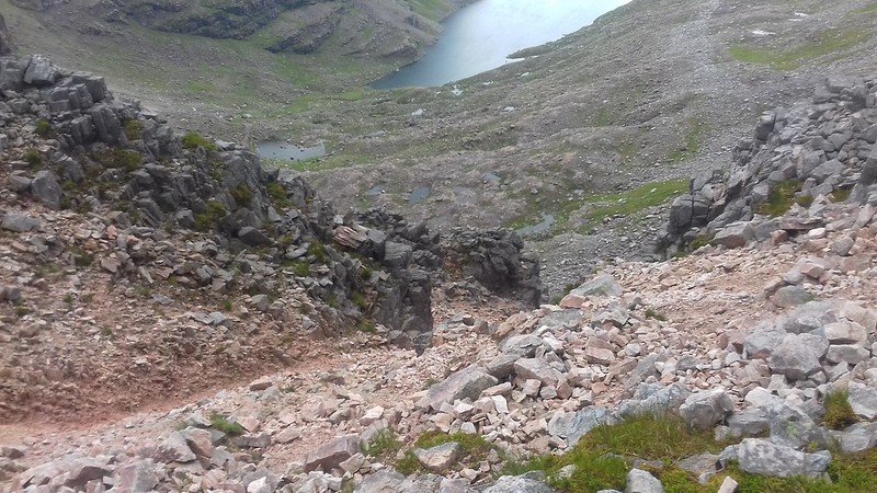 Looking down the chute
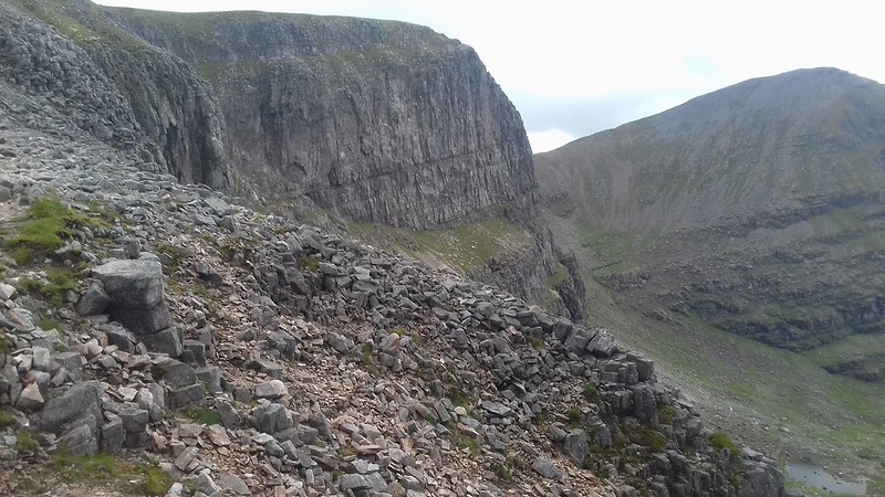 Sail Mhor
 Beinn Eighe ridge
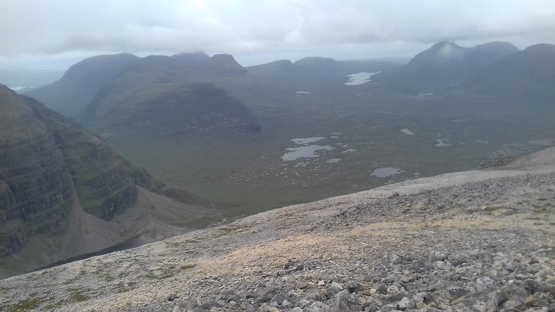 Torridon panorama
I stopped again for a chocolate bar at the 868m height and chatted to a couple who had ascended before me. Ruadh-stac Mor was the first Munro and it looked misty. The route to the summit was initially straightforward, becoming more rough with quartize chunks littering the summit. Beinn Dearg, Baosbheinn and Beinn an Eoin are all visible and the triple buttresses look particularly impressive.
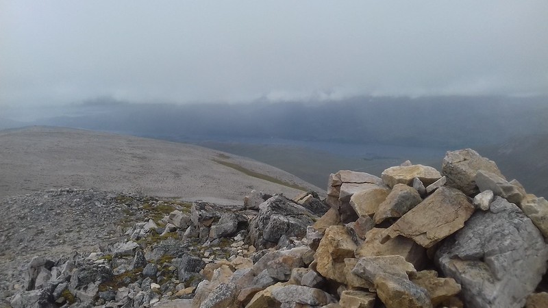 Ruadh-stac Mor - Munro 15
I headed up to the cairn on the top leading to Coinneach Mhor (other walkers took a bypass path).
 Ruadh-stac Mor to Coinneach Mhor
![20170703_134946.jpg]()
- Coming back from Ruadh-stac Mor
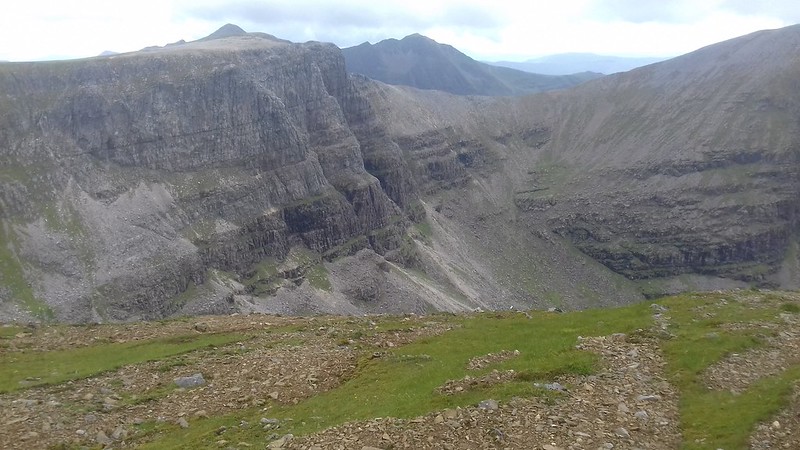 Triple buttresses and Liathach
 Southern panorama
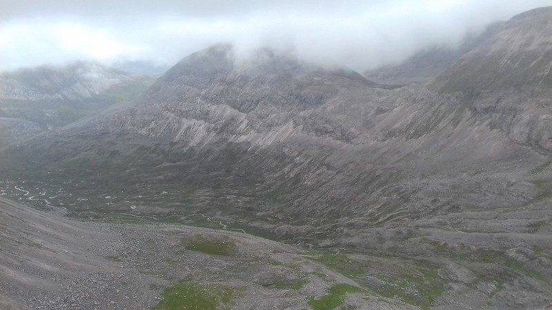
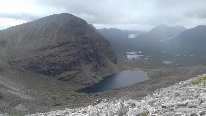 Coire Mhic Fhearchair
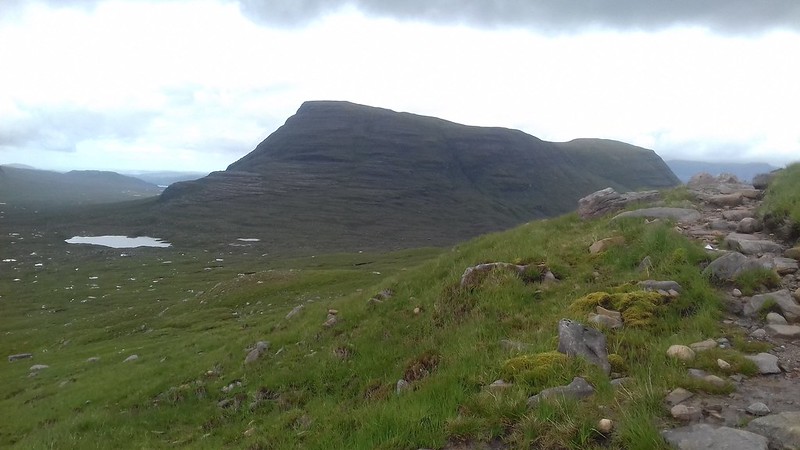
Liathach loomed out of the mist like a sleeping monster.
 Liathach
From the ridge to the second Munro, Ruad-stac Beag's shining scree slopes were reminiscent of Arkle in the Far North.
 Ruadh-stac Beag
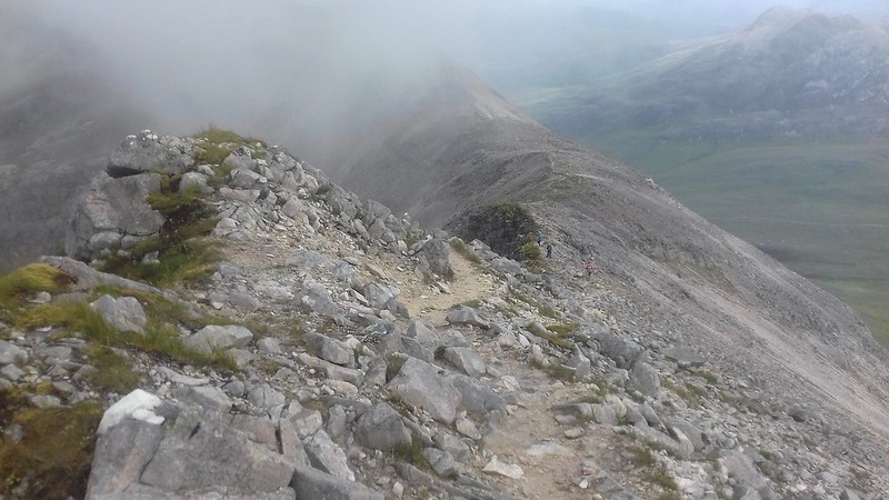
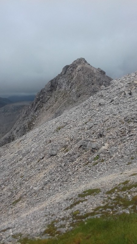
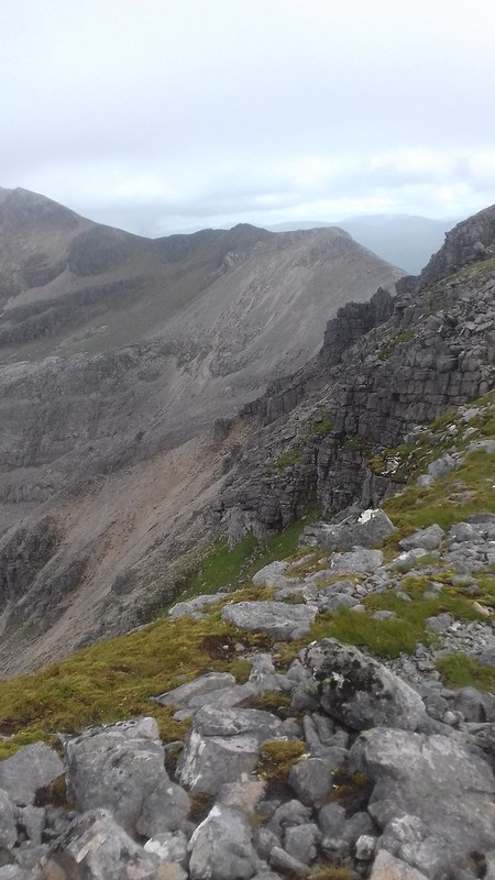 Eighe Ridge
 Cross bedding?
The ridge was fantastic with the jagged rock formations to the left like ancient jagged teeth.
![20170703_142240.jpg]()
- Jagged rock
 Beinn Eighe's magnificent ridge
 Liathach
 Imposing Liathach
 Celestial scree
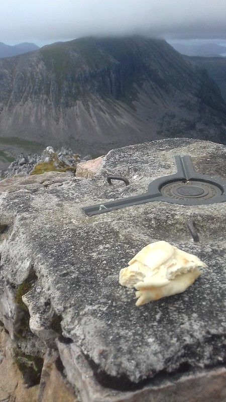 Flatbread selfie (I did eat it - the bread not the trig point)
After another snack I headed up to the conical summit of Spidean Coire nan Clach. I had propped my walking poles against a rocky outcrop before summiting and descending a different route I couldn’t then find them. Incredulous that I had ‘lost’ my walking poles I walked up and down and up and down the summit trying to find them. Eventually they turned up but a lesson was learnt – don’t put your gear down.
 Spidean Coire nan Clach
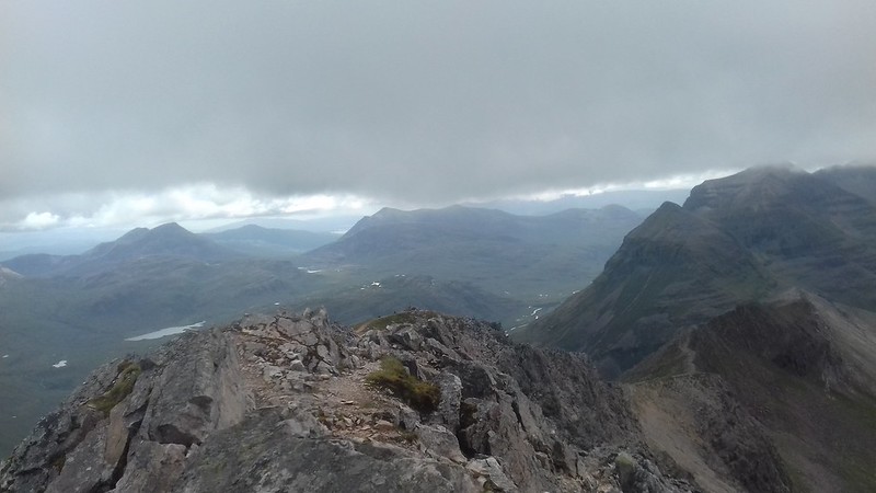 From Munro 16 (minus walking poles)
A cairn indicated the descent path and although loose in places it didn’t present many problems. The walk back to the car was actually pleasant in such epic surroundings.
 From the descent path
 The descent path
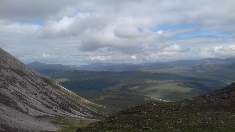 Glen Torridon
![20170703_162710.jpg]()
- Loch Clair
 Sandstone boulders
 Tree formation
 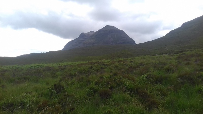 Liathach from the A896
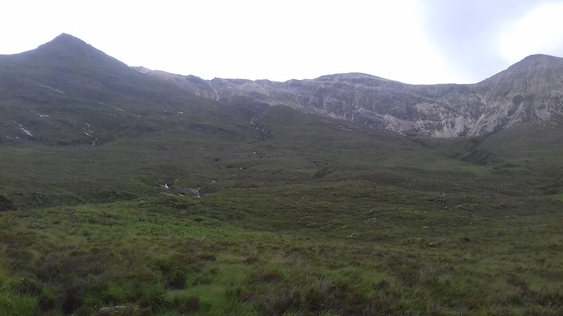 Beinn Eighe ridge
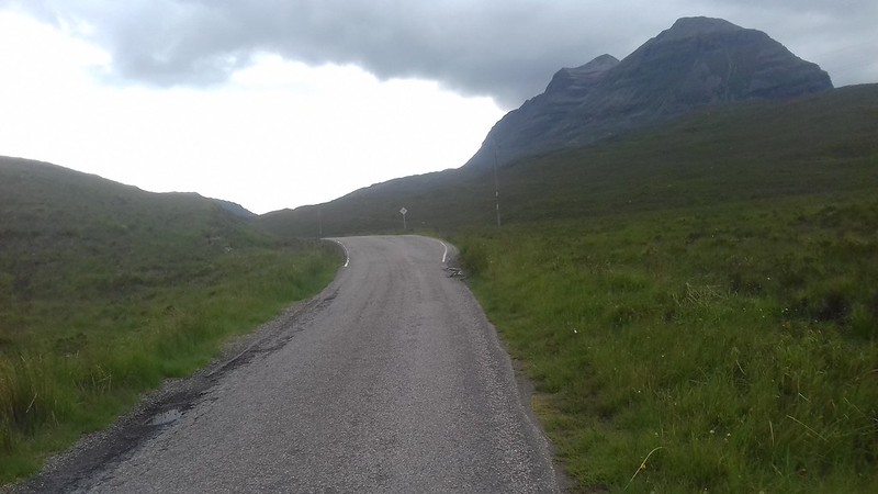 Back to the car
  Nature reserve board
So, Torridon was living up to its monumental status. This had been a big walk in an ancient timeless landscape eventhough the mountains are being slowly worn away. It may sound odd but I found this walk 'easier' than Ben Wyvis. I had mentally prepared myself expecting it to be a significant adventure. Beinn Eighe, like Foinaven has various approaches and plenty to come back to and discover. The Lancaster crash, adds a sad layer to the day, something only really present to me as I write.
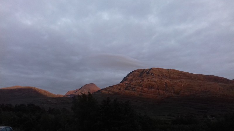 Evening from the Torridon SYHA
