free to be able to rate and comment on reports (as well as access 1:25000 mapping).
Sub 2k Marilyns: Ord Ban.
Date: 05/08/2017.
Distance: 1.5km.
Ascent: 185m.
Time: 45 minutes.
Weather: Overcast, clear, warm.
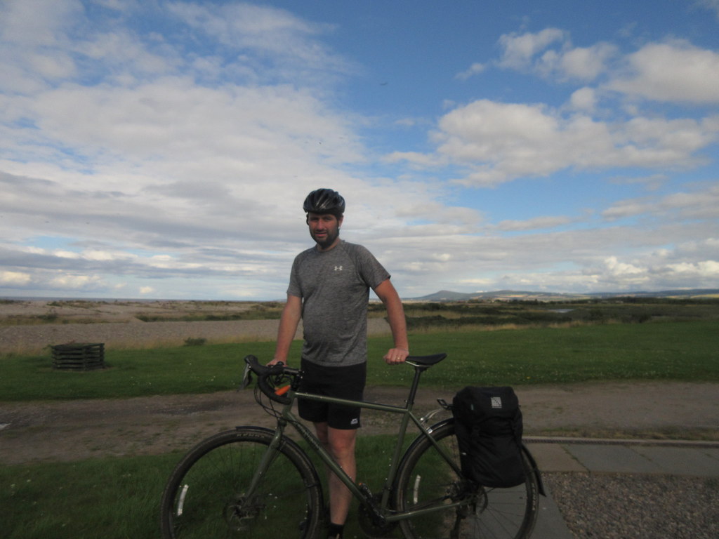
An excuse to cover a 116 mile cycle from Dalwhinnie to Elgin in this blog!
I suppose thanks is due to Scotrail for giving me the idea for this route. When they finally announced their long-awaited early service to Edinburgh at the end of last year, I was pleased to note that it stopped in Dalwhinnie and Blair Atholl - places which you previously couldn't get to by train much before 11am. Having just ordered a new bike at that point, I was also thinking about interesting routes, and the idea to follow the Spey from its source to the sea came to me - at a little over 100 miles, it was achievable, but further than I normally ride. Arriving in Dalwhinnie at 6:40am, I would have plenty of time to make my way to Spey Bay and Elgin in a leisurely manner.
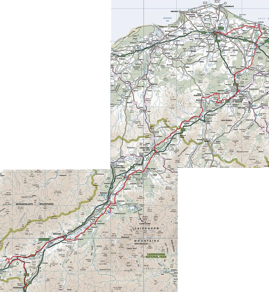
Map
Bit of a chilly start as I headed for Laggan then the Wolftrax carpark from Dalwhinnie. Just opposite Wolftrax is a good track that leads directly to Spey Dam in no time at all. While there was a temptation to turn left and head up to Garva Bridge or even Melgarve (or even push my bike up to Loch Spey?), I decided to skip out this 10 miles of river for convenience. I had enough to do as it was!
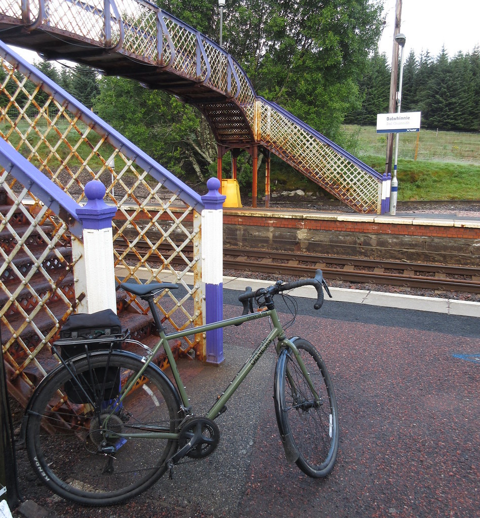
Just off the train at Dalwhinnie
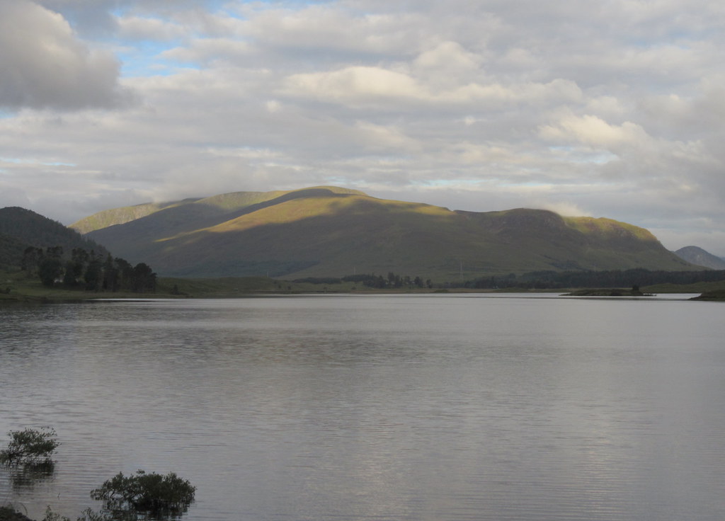
Eastern end of Creag Meagaidh across the Spey Dam
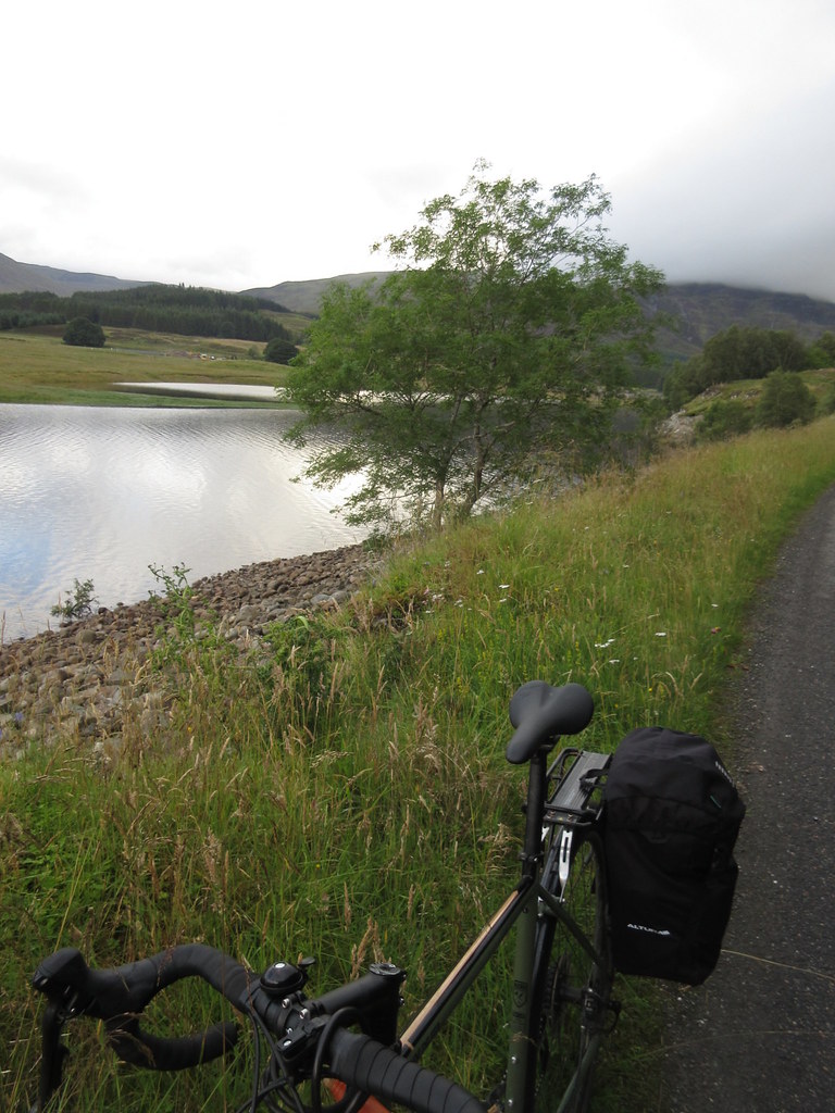
At the loch behind the Spey Dam
The sun came out a couple of miles after Laggan Bridge and it became a lot warmer. Through Newtonmore and Kingussie, then past the Ruthven Barracks, and I was on nice quiet minor roads. The Cairngorms had an ominous black cloud over them, but any rain it was depositing didn't reach me.
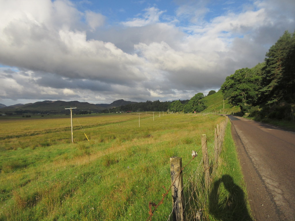
On the road from Laggan Bridge to Newtonmore
Near Kingussie - Creag Dubh on the right
Crossing the Tromie
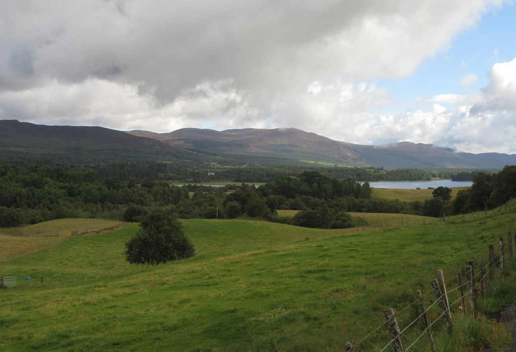
Loch Insh and Geal-charn Mor

Inshriach House
I wanted to have one of the brilliant slices of cake at the Inshriach nursery café, but I was too early, so I decided to go for a quick walk up Ord Ban to pass some time. Not looking at the map, I made a slight error and detoured through the woods via a narrow path. One barbed wire fence later, and I was back on the road

.
The track I actually wanted up the back of Ord Ban was a good bit further on, and the forest was being felled, so I decided to approach by the more conventional (and scenic) Loch an Eilean route.
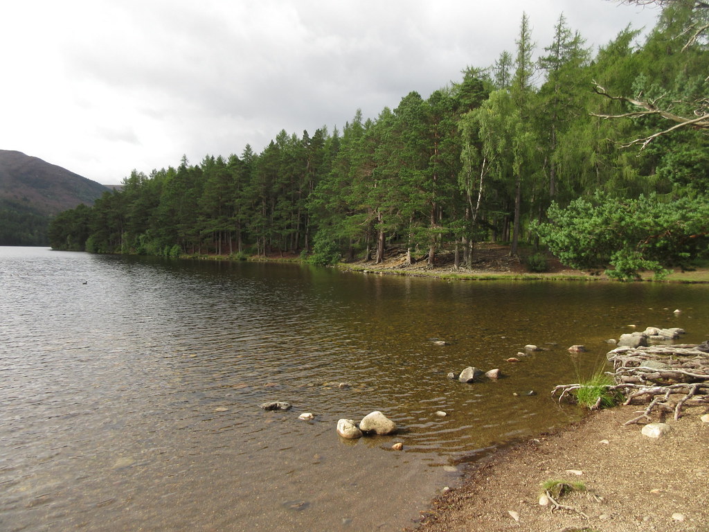
Loch an Eilean
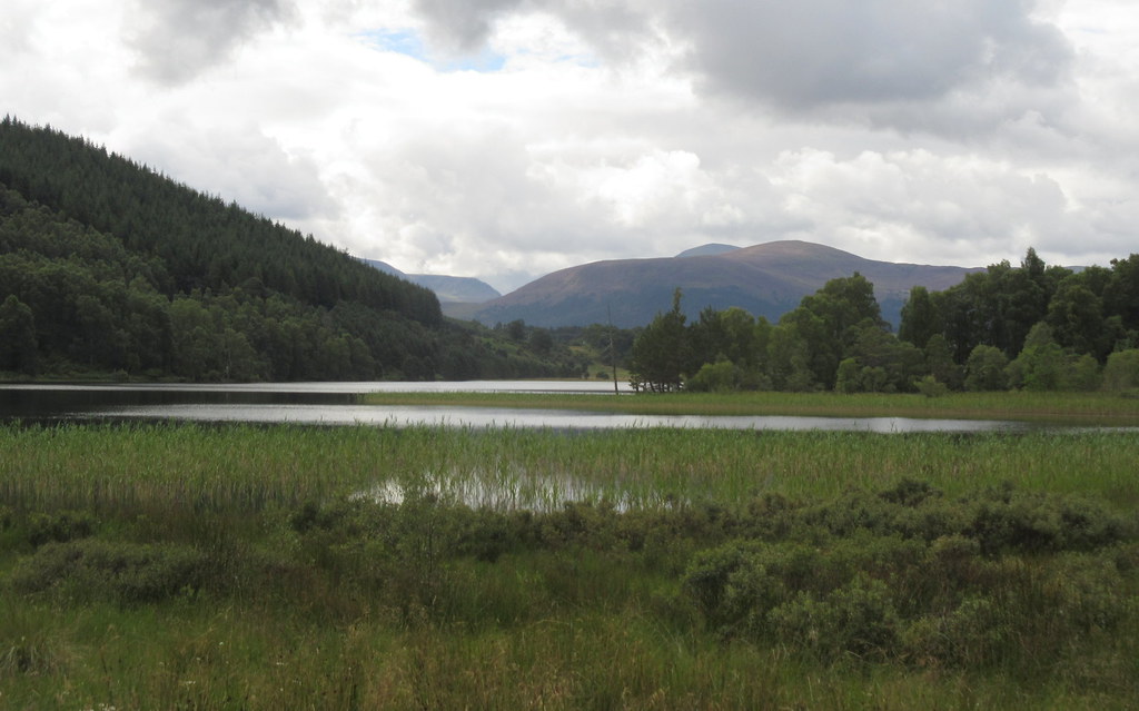
Leaving my bike by the toilet block, I crashed up through deep bracken, wondering where the path I had found last time was. Met it at the top - it was a little further to the N than I went

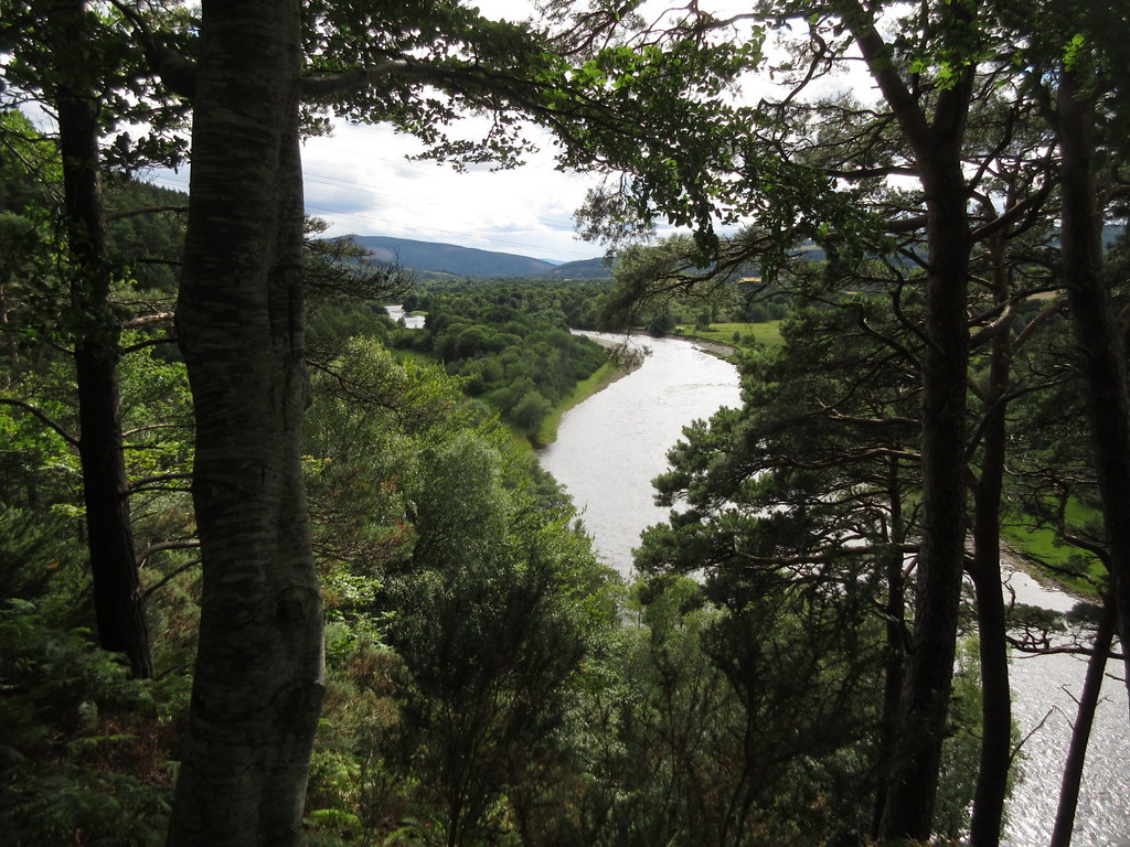
. Things were a bit grey at the summit, but I didn't mind - it was a good viewpoint for the section of Spey I had just covered and the next 20 miles or so.
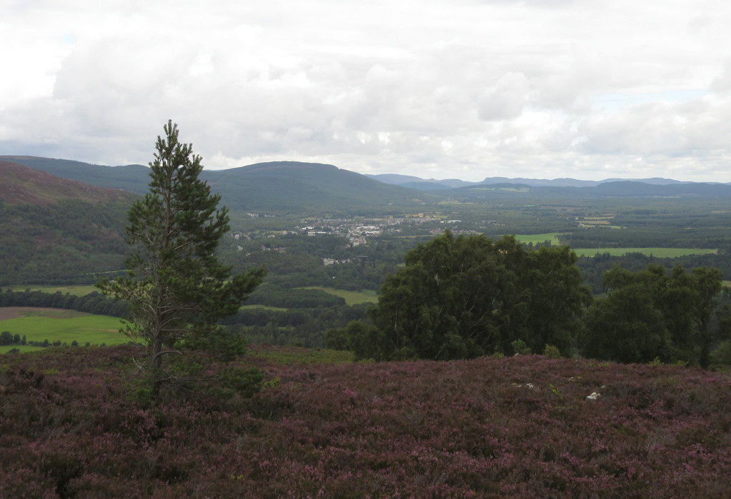
Aviemore from the summit of Ord Ban
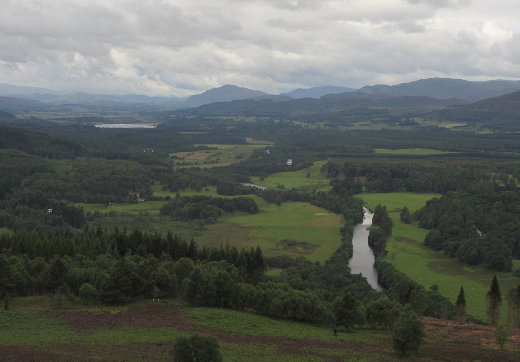
Back up the Spey to Creag Dubh
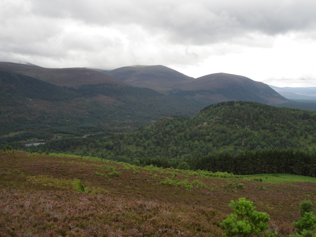
Edge of the Cairngorm Plateau

Ben Macdui

Loch an Eilean
Back down at the bike, I decided I was a bit far from Inshriach nursery to go back for cake, so carried on to the café at the old schoolhouse at Coylumbridge. Torn between a bacon roll and a cake, I went for the roll and was glad I did

.
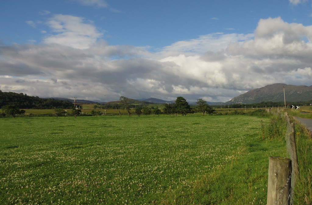
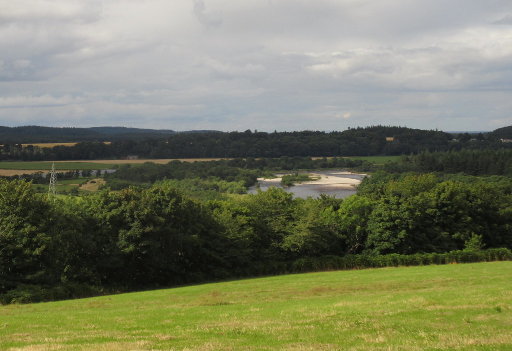
Continuing after a good half hour in the café, I skipped out Aviemore completely and passed through Nethybridge and on to Grantown. It seemed a bit early for lunch, so I decided to continue to Aberlour.
Cairngorms across Loch Pityoulish
Spey near Grantown
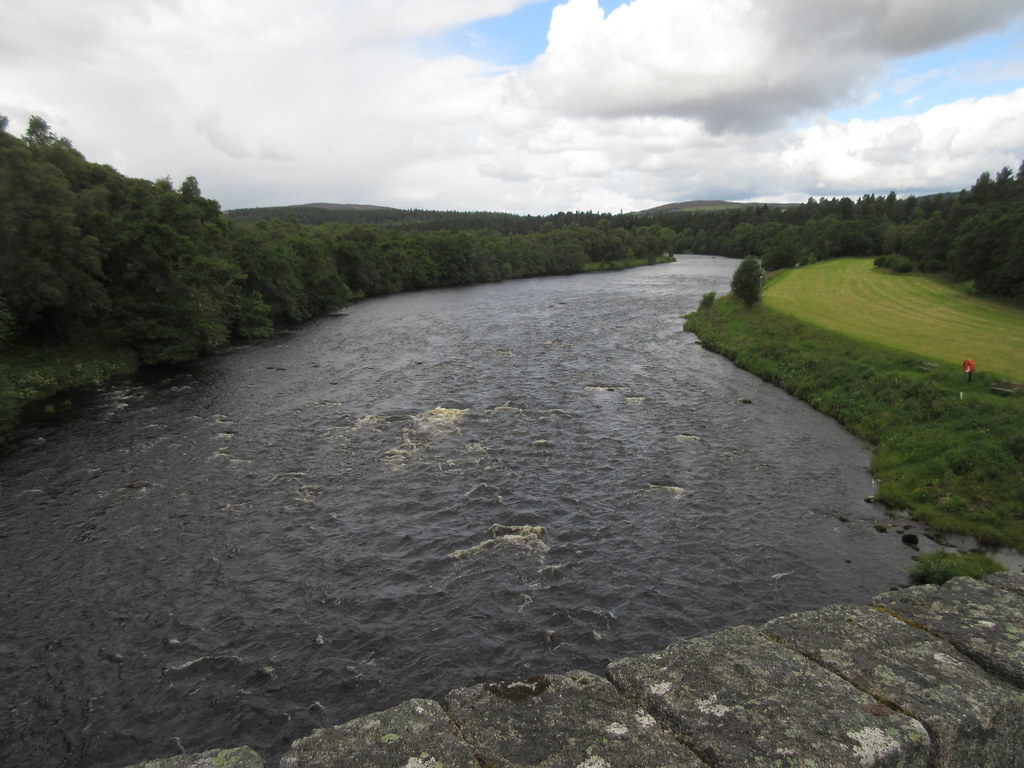
Grantown to Aberlour by the northern side of the Spey is where the 'all downhill' theme of the ride came to a grinding halt. There are some quite longish ascents along here, but it's good cycling. A couple of heavy showers hit as well, although they didn't last long.
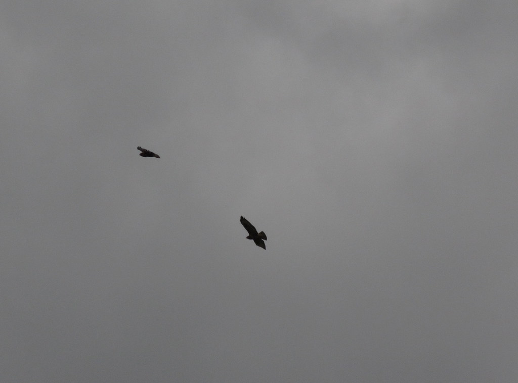
Pair of eagles, I think - above Cardhu distillery
I took a right at Archiestown to drop down to Carron and the Speyside Way. Someone had suggested I cycle the Speyside Way itself, but it was muddy and lacking in views for this section, so I was glad I hadn't done that. However it was better than the main road above!
Archiestown
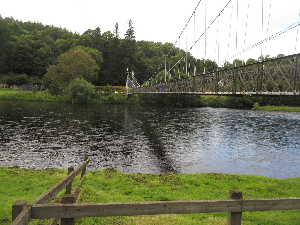
Suspension bridge across the Spey at Aberlour
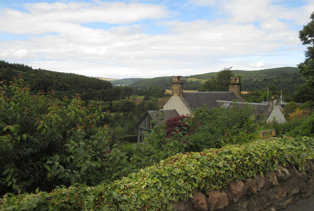
Thoughts of a nice quiet lunch at the Mash Tun in Aberlour were shattered by the racket of fairground music - it was the Aberlour Highland Games! I decided to give eating in Aberlour a miss, and carried on to Craigellachie. The short section of main road I cycled on here was horribly busy, and I was glad to escape into Craigellachie.
Looking down the next bit of the Spey from Craigellachie
Things didn't look promising for food initially, but I wandered round the back of the Highlander Inn and found that the bar was pretty lively. A seat outside with a couple of pints was called for - over 80 miles covered before lunch.
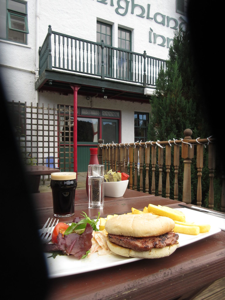
Lunch!

Telford Bridge at Craigellachie
Not sure the pints were the best idea as I hit the busy main road again feeling slightly fuzzy... Fortunately I was soon in Rothes with the sun out, and it was time to hit the quiet roads again. Across the Boat o' Brig, the nastiest hill of the trip awaited - zigzagging up to Ordiquish. However there was barely any traffic on the road, and it provided birds-eye views of the Spey for the last time on the trip.
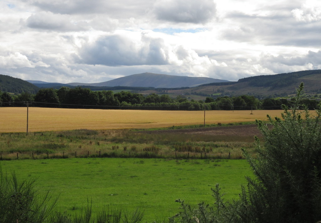
Ben Rinnes from near Boat o’ Brig
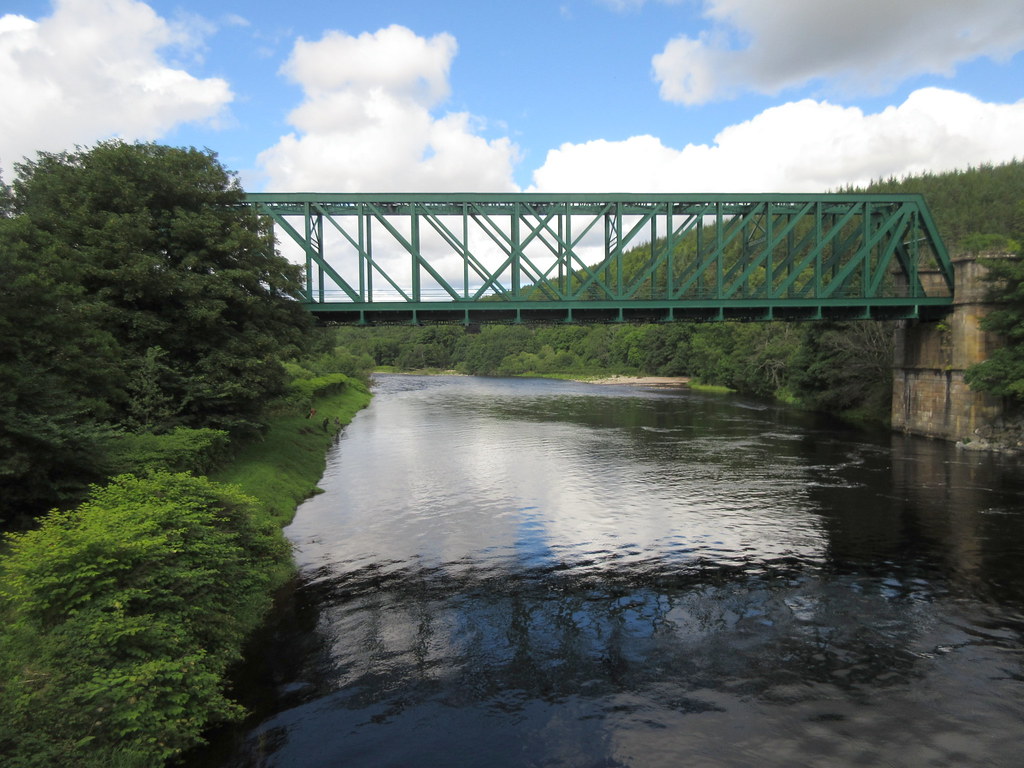
Railway bridge over the Spey at Boat o’ Brig
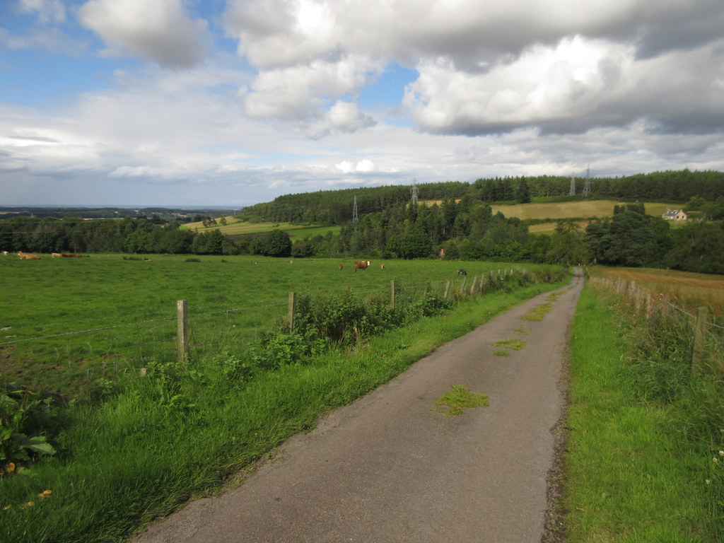
On the Ordiquish road
Even better was a viewpoint a short distance from the road, which was well worth another 10 minute stop.
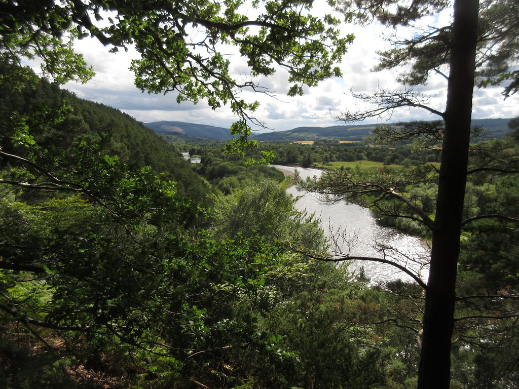
Ordiqish viewpoint up the Spey
Ordiquish viewpoint
Ordeiquish viewpoint
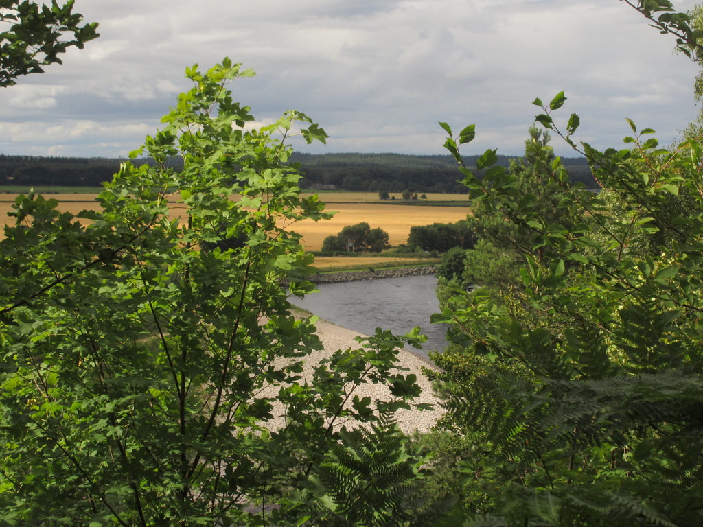
Spey from the Ordiquish road
Then it was downhill to Fochabers, and across the A96 to the last leg of the jpurney. As I approached the coast, the wind gradually increased and my speed dropped off. I was just in time to catch the café at the dolphin centre before it shut for some carrot cake and coffee, before a stroll on the attractive beach. Although the best mountain scenery is in the upper reaches of the Spey, the finishing point of my journey was probably my favourite bit of the day.
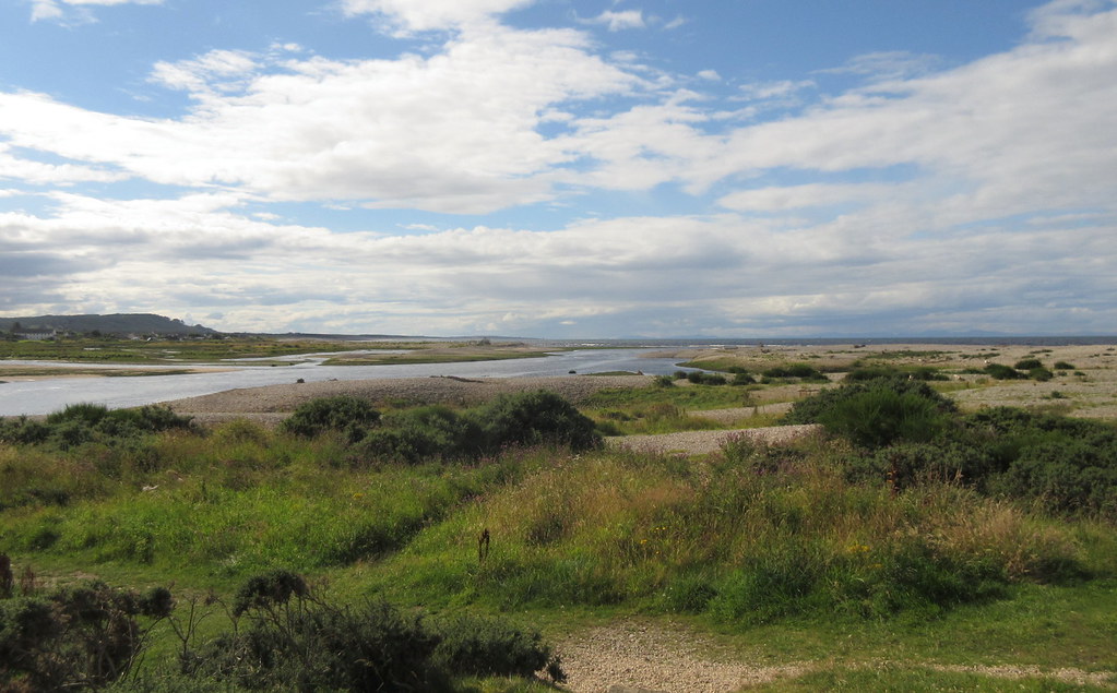
Mouth of the Spey at Spey Bay
Bin of Cullen and Buckie
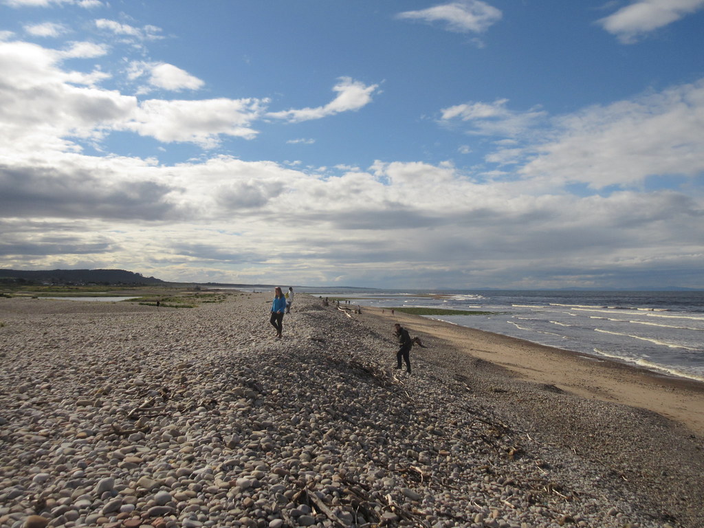
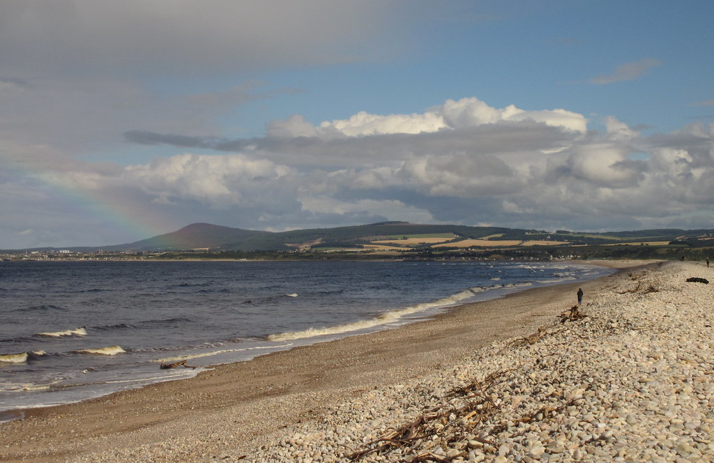
Looking west along the coast
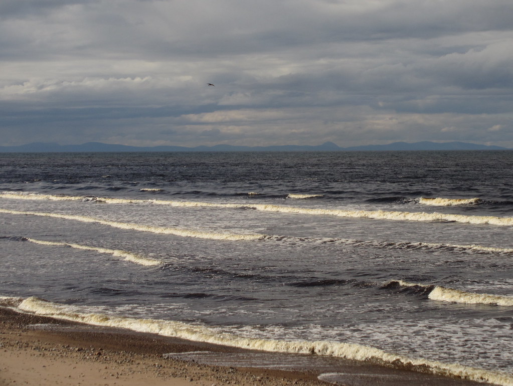
Sutherland and Caithness hills across the Moray Firth

Out to sea
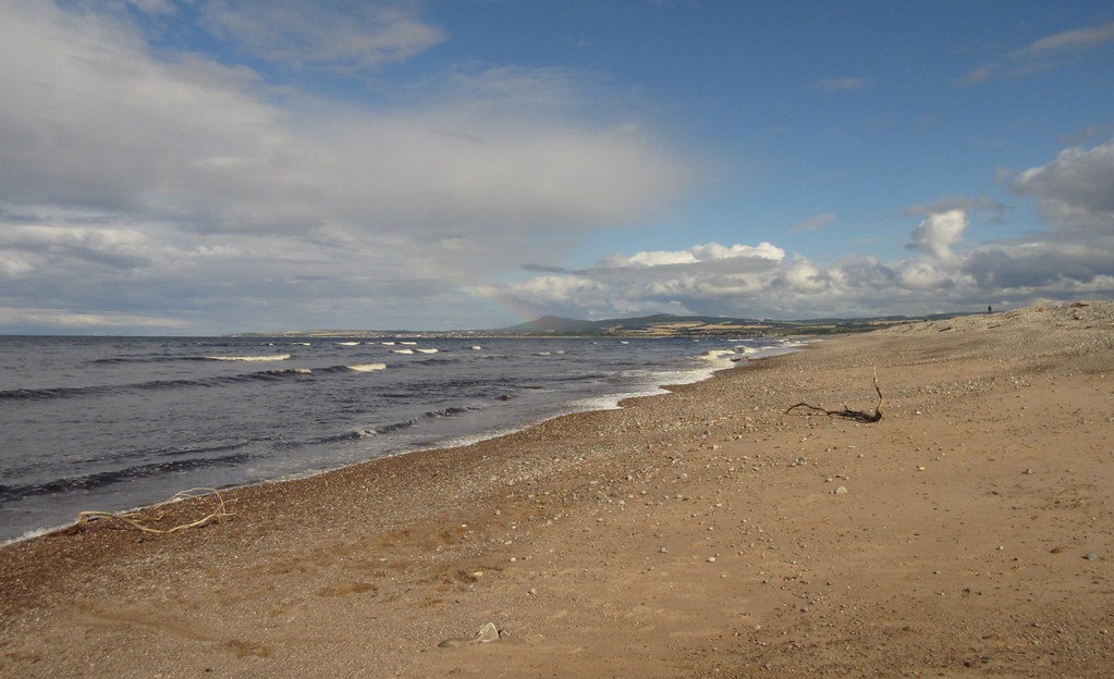
Looking east
I decided to take in the other side of the river as well, and crossed the Spey Viaduct to Garmouth, making a brief detour to the coast again at Kingston. To be honest, the east side of the river mouth was nicer.
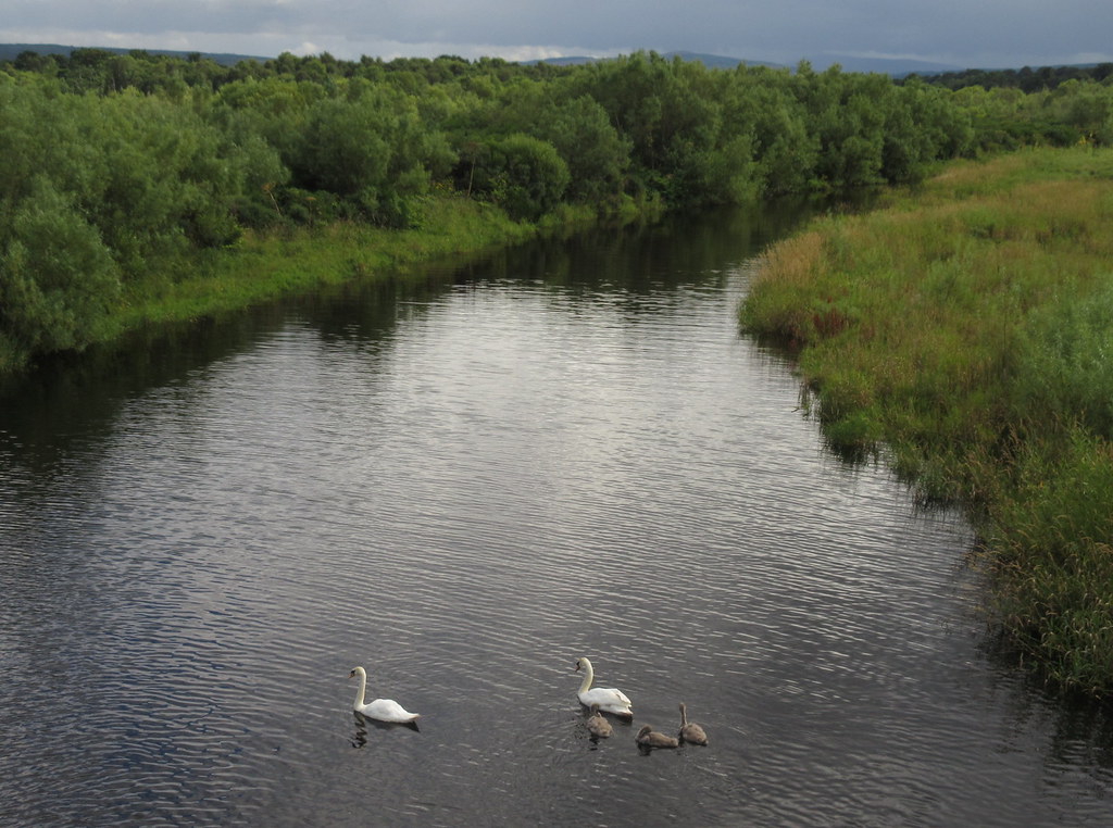
Swans and Cygnets in the Spey
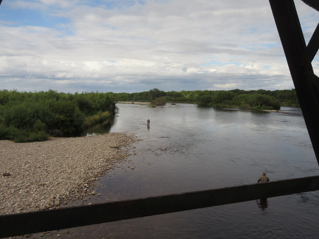
Anglers in the Spey
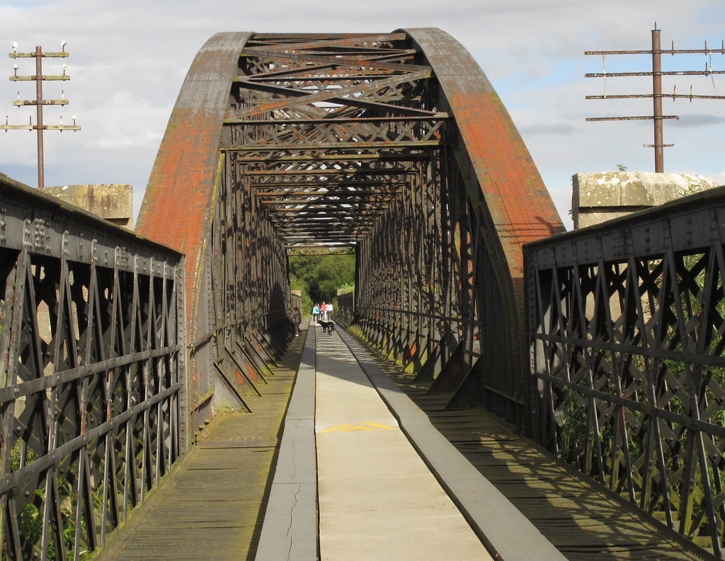
Spey Viaduct
The end of the journey at Kingston-on-Spey...apart from the bit to Elgin!
Except it wasn't the end as I had a train to catch in Elgin, another 10 miles away. The cycle there was a bit slower than normal, but still nice, and I had time for a quick pint and a(nother) burger before jumping on the train. In fact I was able to get the train an hour earlier than the one I had planned, so maybe there was time for those first 10 miles of river after all. But no - considering I had to cycle the 3 miles uphill to the house when I got back to Inverness, that was more than enough. Still, an enjoyable day
.
