free to be able to rate and comment on reports (as well as access 1:25000 mapping).
Sub 2k Marilyns: Beinn Conchra, Creag Mor, Beinn Mheadhoin.
Date: 12/08/2017.
Distance: 23km.
Ascent: 1320m.
Time: 7 hours.
Weather: Warm, sunny.
The idea for this round came to me last year, when I traversed
Carn nan Iomairean and Auchtertyre Hill, starting in Attadale and finishing in Plockton. Beinn Conchra and Creag Mor had originally been part of that plan, but it would have had to have been done as a 22 mile fell run to fit it between the first and last train - something I didn't think I was up for. I could see that those extra hills would make a good circuit from Dornie, and also accessible by public transport. There were a number of times when I've almost decided on this route, but then done something else instead. This time I booked the bus tickets after reading a vaguely acceptable forecast on Thursday evening.
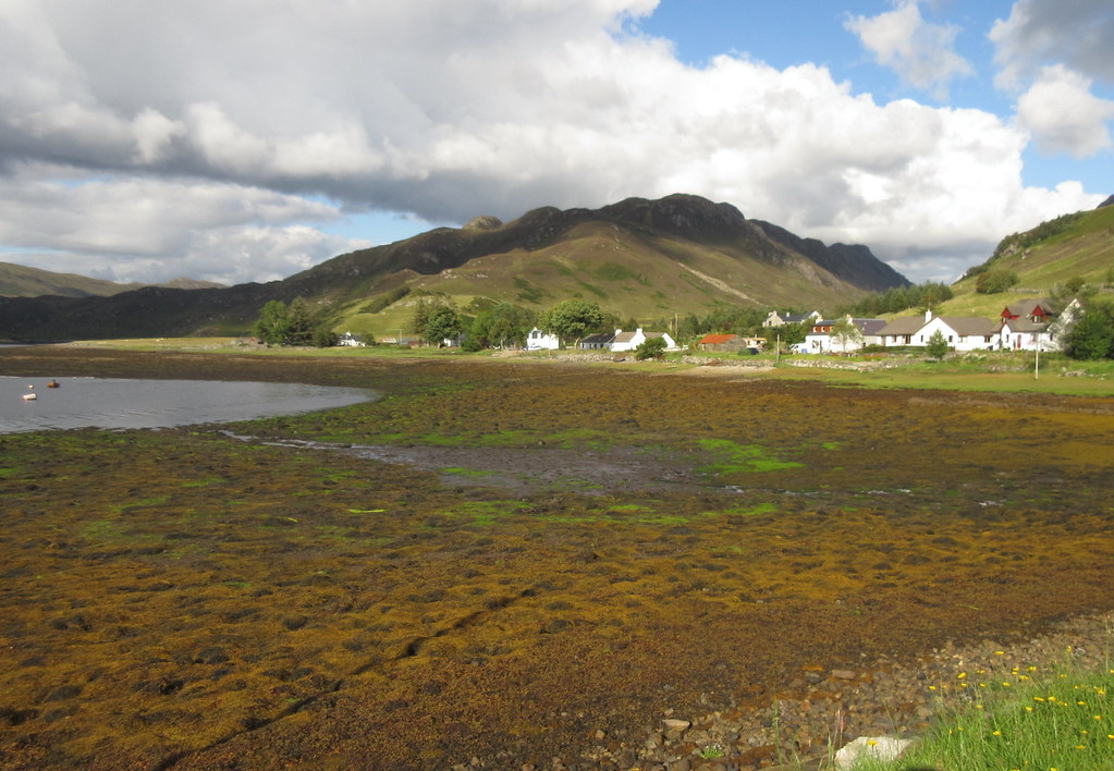
It was raining as I cycled down to the bus station, and although it cleared up in Glen Moriston, there was another heavy shower as we descended Glen Shiel. By the time I was off the bus at Dornie, it was nice again. The castle and bridge were busy as I strolled over to the Camas-longart road over the bridge.
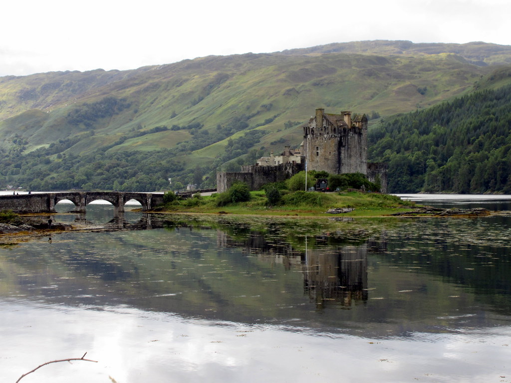 Eilean Donan castle
 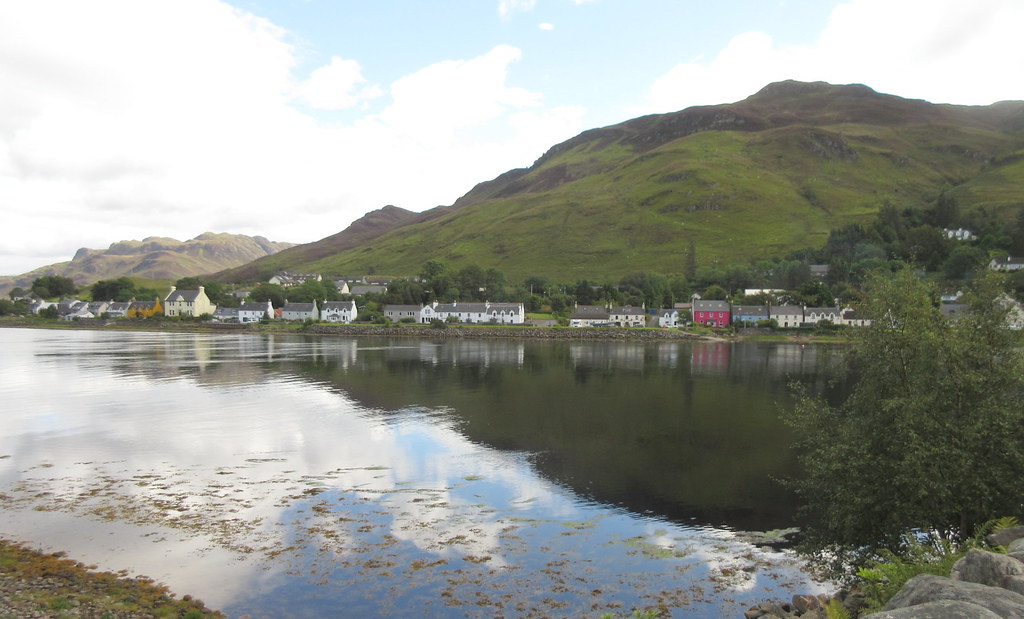 Dornie from the bridge
 My plan to keep following the path round to Conchra from the end of this road ended abruptly at the manicured garden at the last property. The owner had built a fence across the path marked on the map! I should probably have stayed on the bus all the way to the Sallachy turning, but instead I retraced my steps a short way and headed over the small hill to the N of Camas-longart. Up was good underfoot, while down was in deeper heather (a taste of things to come). Near the summit were some very tame sheep. Instead of running away clumsily, they assumed they were going to be fed and gathered around me instead!
 Beinn Conchra
 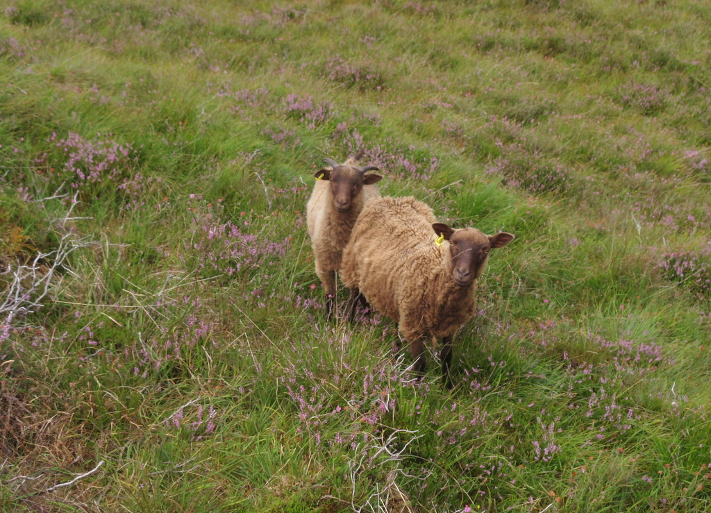 Curious sheep
 Back on the road for a short distance, I wandered past Conchra lodge and hit the hillside just after. Lower down, the ground was well grazed, and although steep, the going was easy. Further up, I was able to follow grassier runs through the heather and avoid the highest bracken.
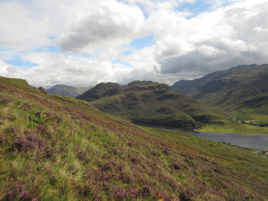 Beinn Mheadhoin across Loch Long
 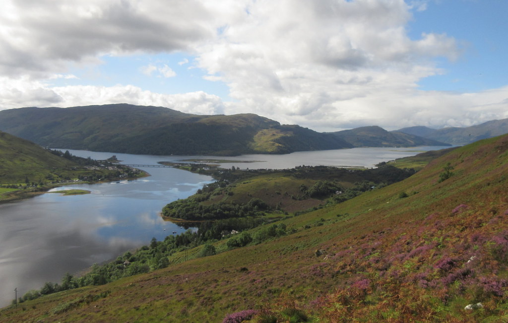 Dornie and Loch Duich
 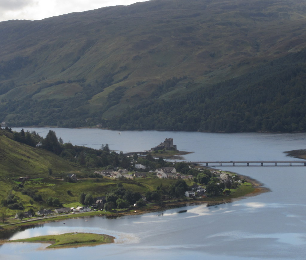 Eilean Donan Castle and Dornie
 I soon arrived at the trig point, which although not the summit, had great views back down to Dornie. This was worthy of a first lunch stop. Creag Mor, my next hill, didn't look too far from here.
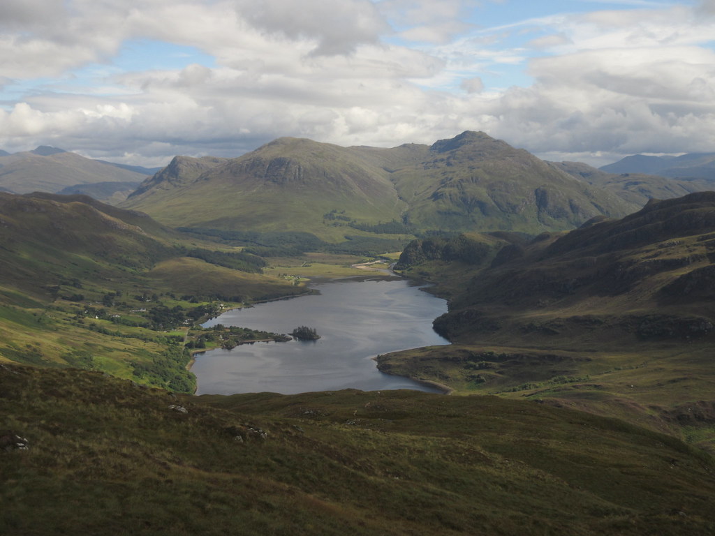
 Loch Long and Dornie
 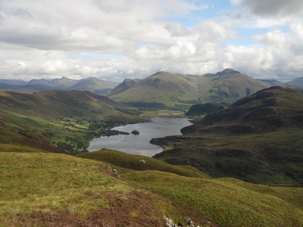 Sguman Coinntich up Loch Long
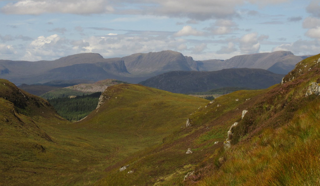
 Then it was onwards to the summit, where the additional descents and lumps that would need to be negotiated on my way to Creag Mor became much clearer. Now it looked further! I couldn't really tell by looking at the map as this area is at the join in 3 different OS sheets, and hard to see the entire area in context.
 Sguman Coinntich from Beinn Conchra
 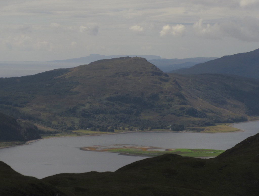 Across Glas Bheinn to Eigg
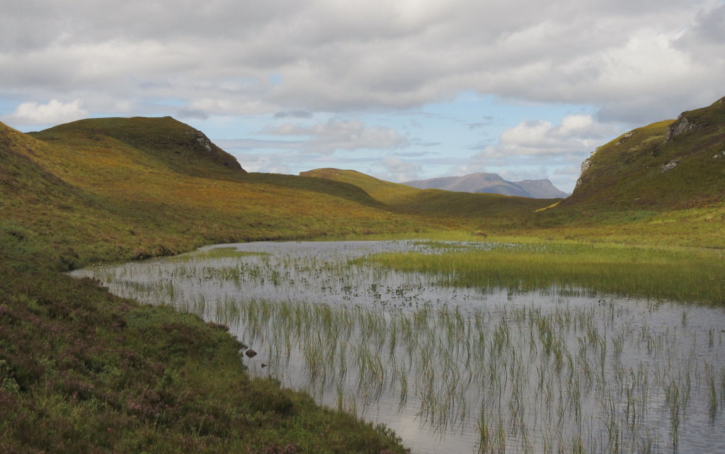
 Down was easy enough, although through increasingly thick heather. I crossed a deer fence and picked up a faint quad bike track which led round the eastern face of the intermediate 353m bump, and to a steepish descent to Loch Thollaidh. There was another deer fence to cross here, then more heather and increasingly indistinct tracks leading me to a second lochan which didn't appear to have a name.
 Applecross hills and Loch Carron
 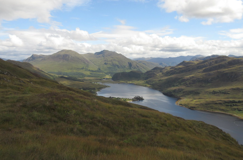 Sguman Coinntich up Loch Long
 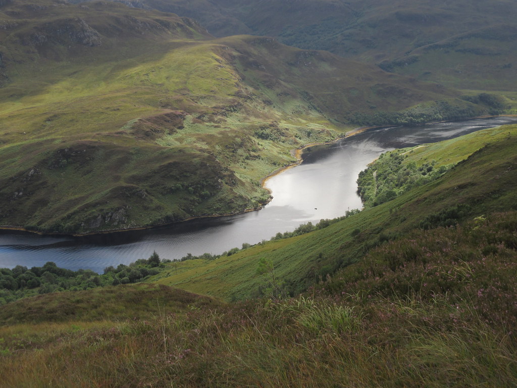 Narrowest part of the loch
 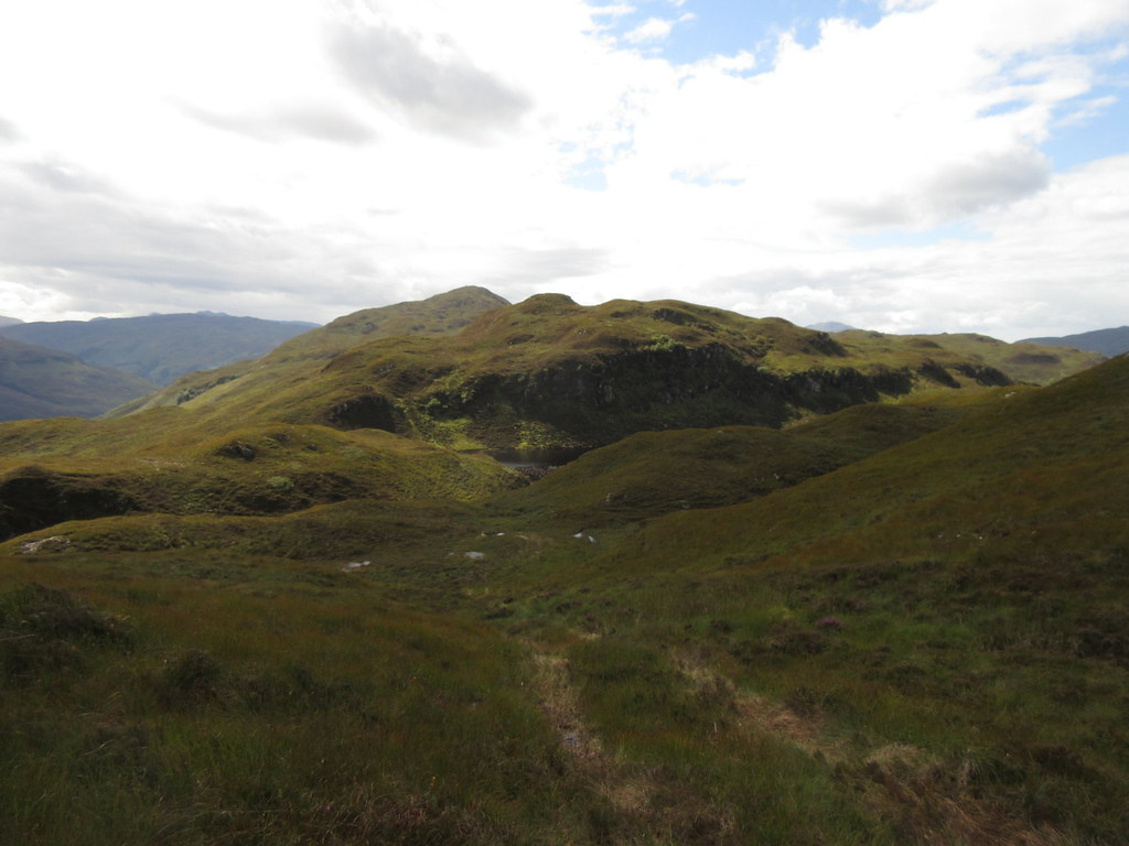 Looking back to Beinn Conchra
 You definitely have to get into the right mindset to appreciate walking in these sorts of hills, as the walking is often tough, and the hills themselves unlikely to feature in a Colin Prior calendar any time soon. Having said that, if Colin Prior wanted some slightly less iconic viewpoints, he could do a lot worse than start here. I had a feeling that there would be some spectacular scenery seen from unusual directions up here, and I was rewarded with just that - one of the reasons that I had been waiting for a reasonable day to come up here. There are also an abundance of attractive obscure corners, like the reedy lochan that I had just descended on.
 Applecross hills from un-named lochan beneath Creag Mor
 A fairly short and steep pull from the un-named lochan took me to the first summit of Creag Mor, where I had another stop. Sheltering from the slight breeze, a few midges made their presence known. Despite the dire warnings at the beginning of the spring about this being the worst midge year ever, I have almost entirely avoided them this year. Admittedly most of that is down to being very selective with days out and stopping locations, the rest perhaps due to the amount of windy weather that we've had this summer.
 Applecross hills from Creag Mor
 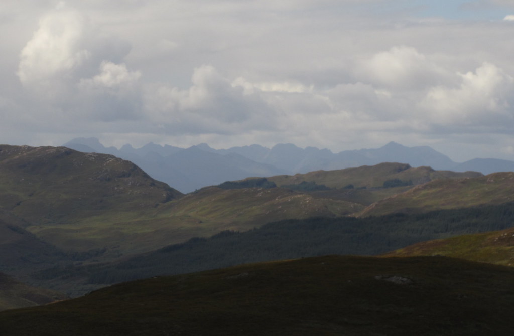 Black Cuillin
 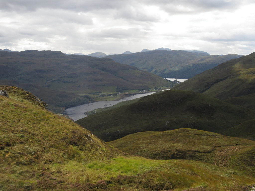 Back down Loch Long. Beinn Sgritheall on the skyline
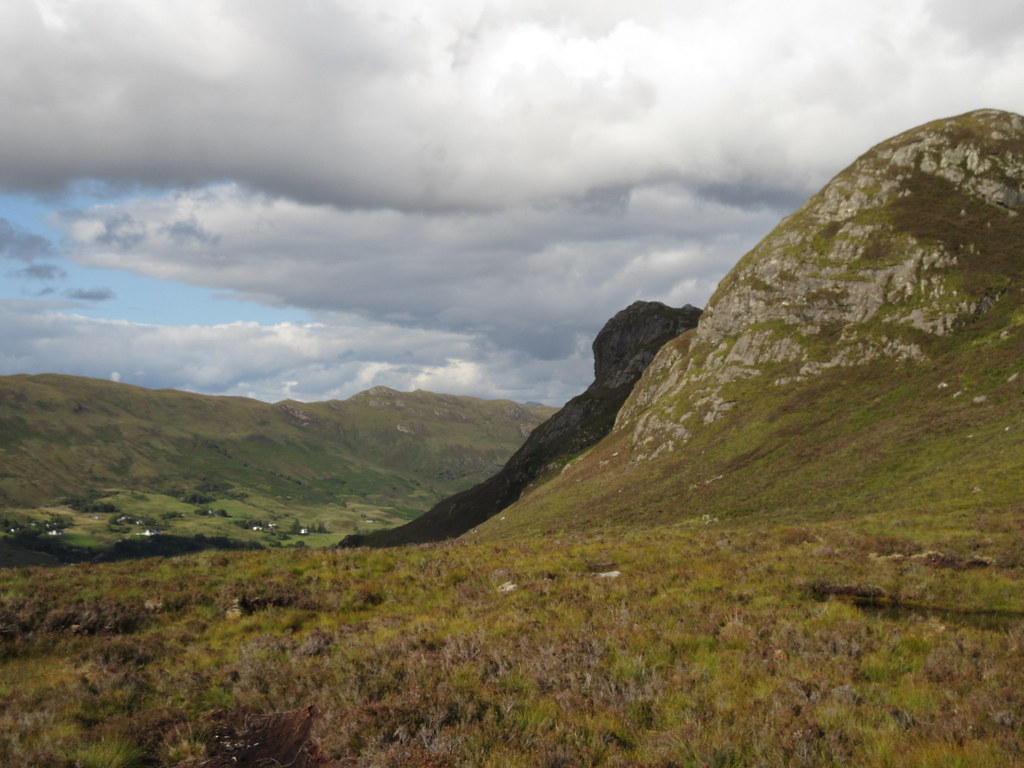
 Then it was over to the highest summit, and a loop back around to the burn that splits the SE face of Creag Mor. I followed this most of the way down, veering leftwards lower down to pick up a section of track that led me to the minor road which loops up through Sallachy. Lower down, the going was typically rubbish, with tussocks and high bracken to contend with.
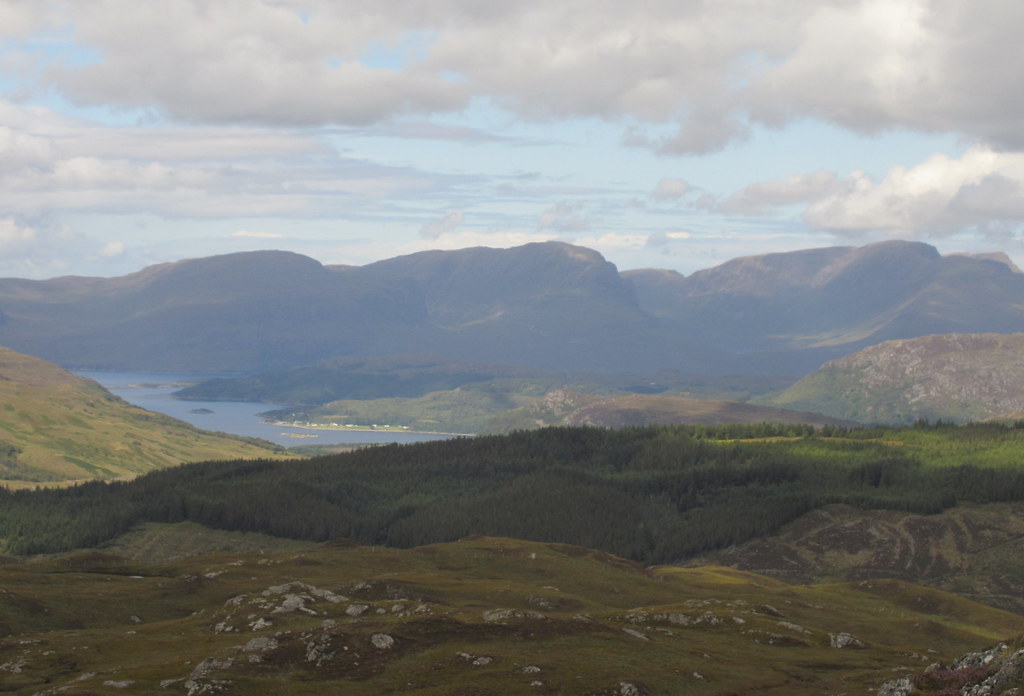
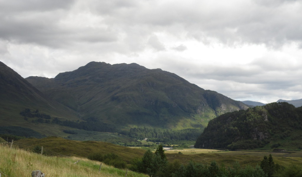
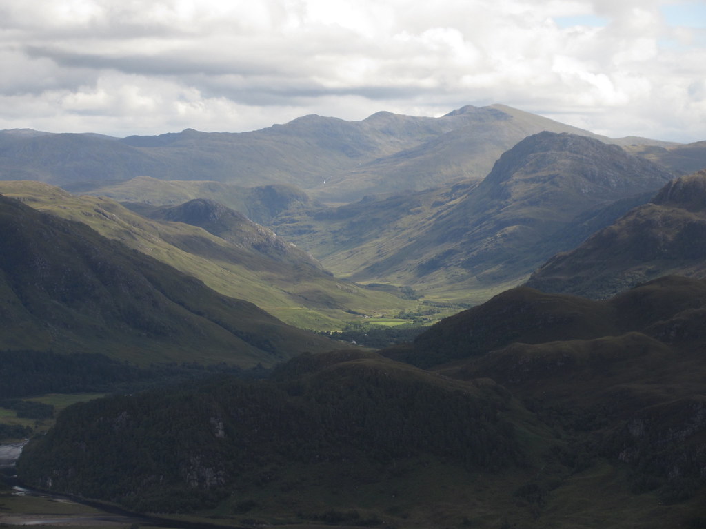 Sgurr nan Ceathreamhnan and Glen Elchaig
 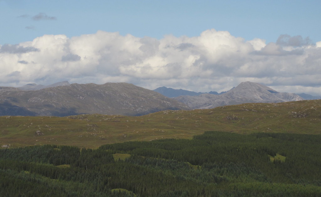 Coulin hills above Strathcarron
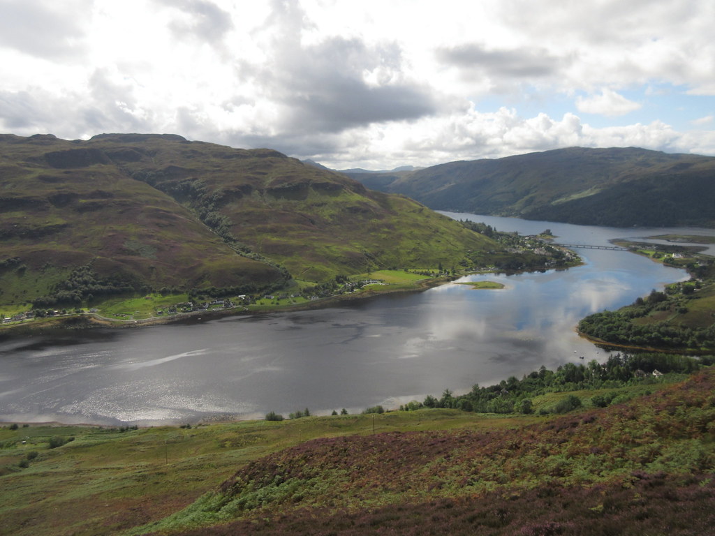
 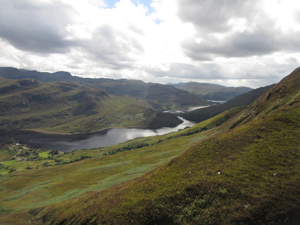 Back down Loch Long
 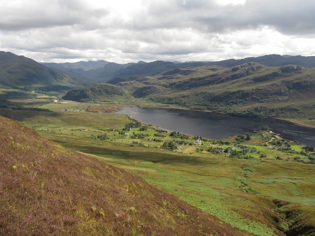 Sallachy and the end of Loch Long
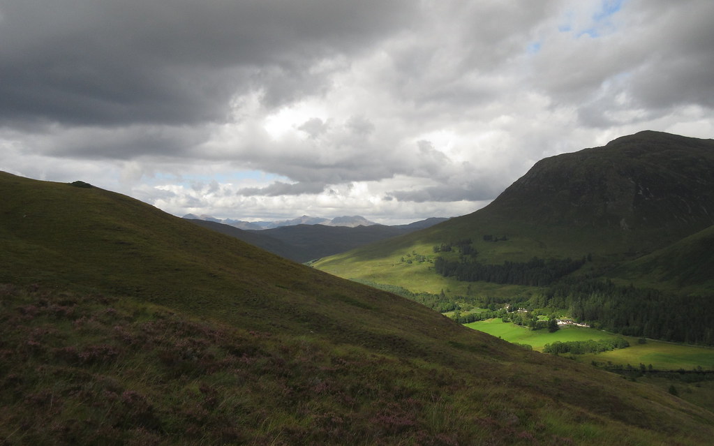
 Next was a 3 mile walk down the road past the end of Loch Long. While I often go out of my way to avoid road walking, this road is lovely, and also has hardly any traffic on it. Not to mention - a nice break from the heather bashing!
 Sguman Coinntich from Sallachy
 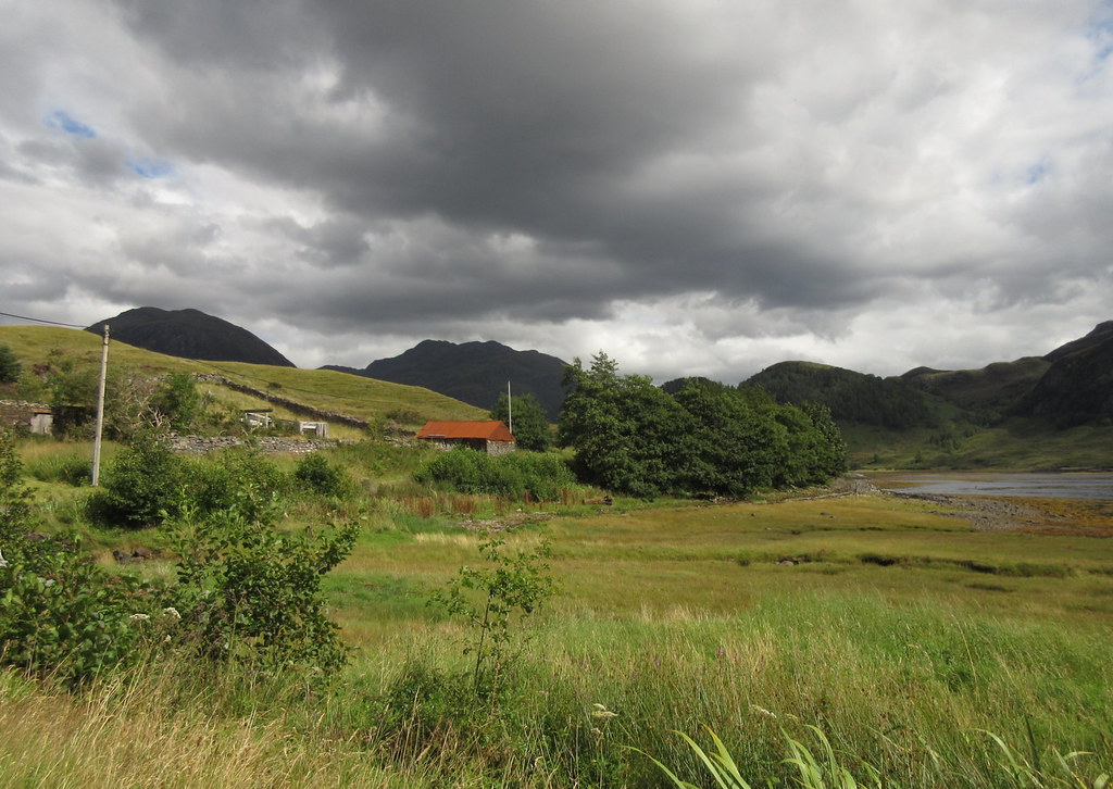 Glen Elchaig
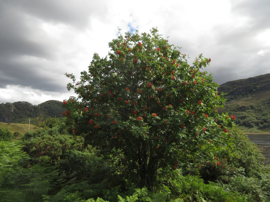 Berries are out
 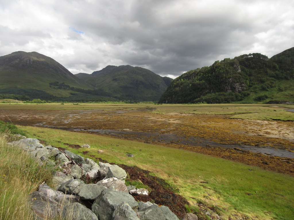 Head of Loch Long
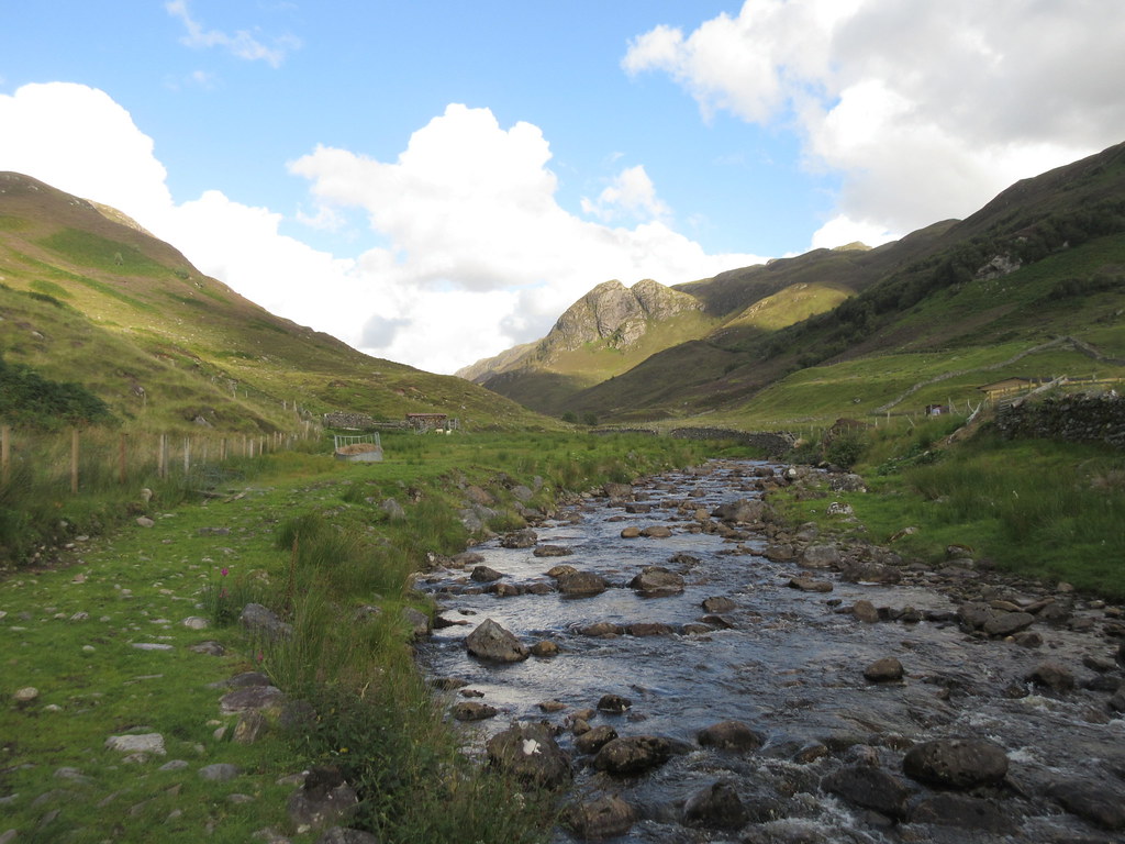
 I passed the Glen Elchaig car park at Killilan and carried on across the bridge to Camas-luinie. I was hoping that the next off-road excursion would be a little easier going, due to a couple of paths that cross the area.
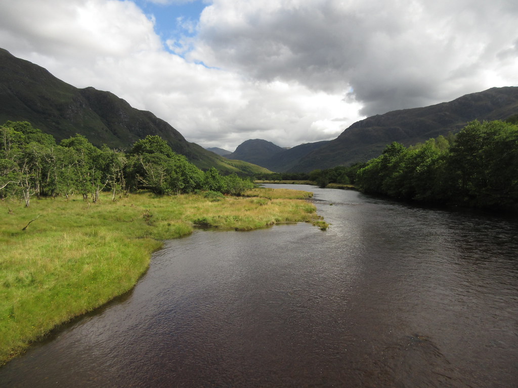 Up Glen Elchaig from the bridge
 You really have to be looking out for the gate that leads onto the hill (there are several others, but this one is at the start of the marked path). It is well hidden behind the undergrowth and bushes, and probably a waste of time anyway, since I couldn't find any evidence of this path whatsoever on the ground. Worse, the area had been planted with saplings, so there were extra holes in the ground to make the tussocks and heather seem more fun.
 Gate to the hill path
 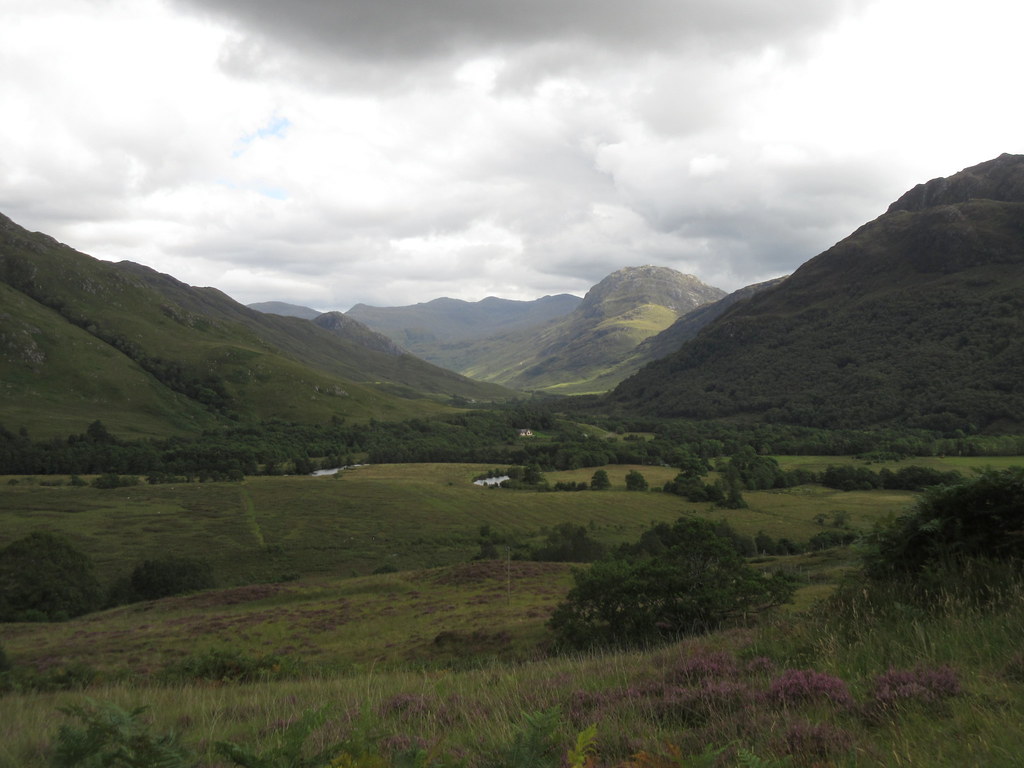 Up Glen Elchaig, Carnan Chruithneachd in the foreground
 It is probably a better bet carrying on the road to Camas-luinie and taking the next path up to the Bealach a' Ghleannain - from what I could see, this path does appear to exist. In the end, I gave up trying to follow the line of my path and headed straight up to the skyline. The skies had darkened and I was hit with a few drops of rain at this point. I thought it was going to be one of the promised showers but it didn't amount to anything in the end. Certainly made for some impressive colours though.
 Ben Killilan
 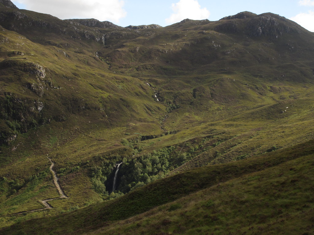 Eas Ban behind Camas-luinie
 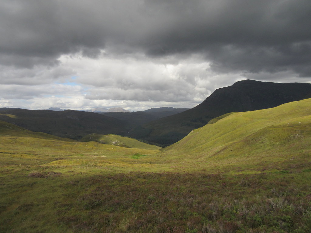 Weather moving in over Ben Killilan
 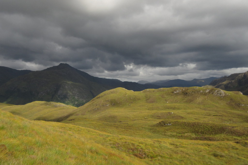 ...and Sguman Coinntich
 I contoured round the bump of An Leth-chreag and made a line for the 403m summit to the east of the main summit. This was the worst ground of the day, and there was more similar stuff (not to mention another deer fence to cross) between here and the main summit.
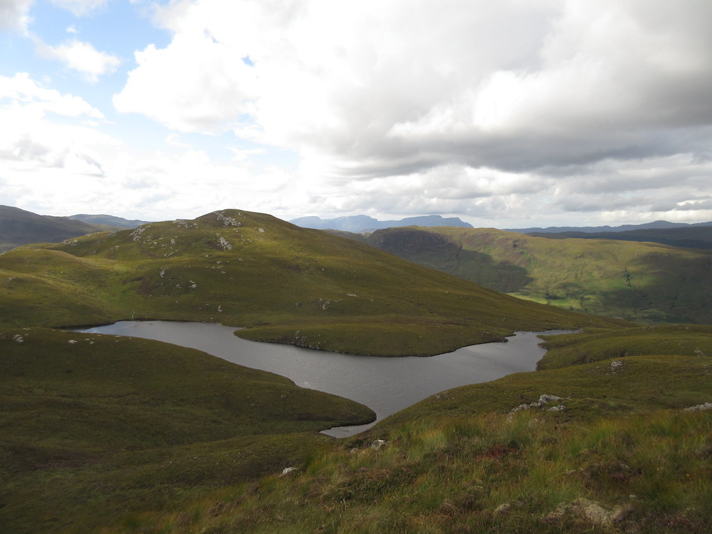 Finally the summit of Beinn Mheadhoin, with Loch Beinn a' Mhadhain in front
 The top had more good views, but probably not as good as Beinn Conchra. Also the light at this point made it difficult to get many decent photos. Still, it was a nice spot. Looking at the time, I realized that my planned meal in Dornie would probably have to be downgraded to a couple of pints instead.
 End of Loch Long from Beinn Mheadhoin
 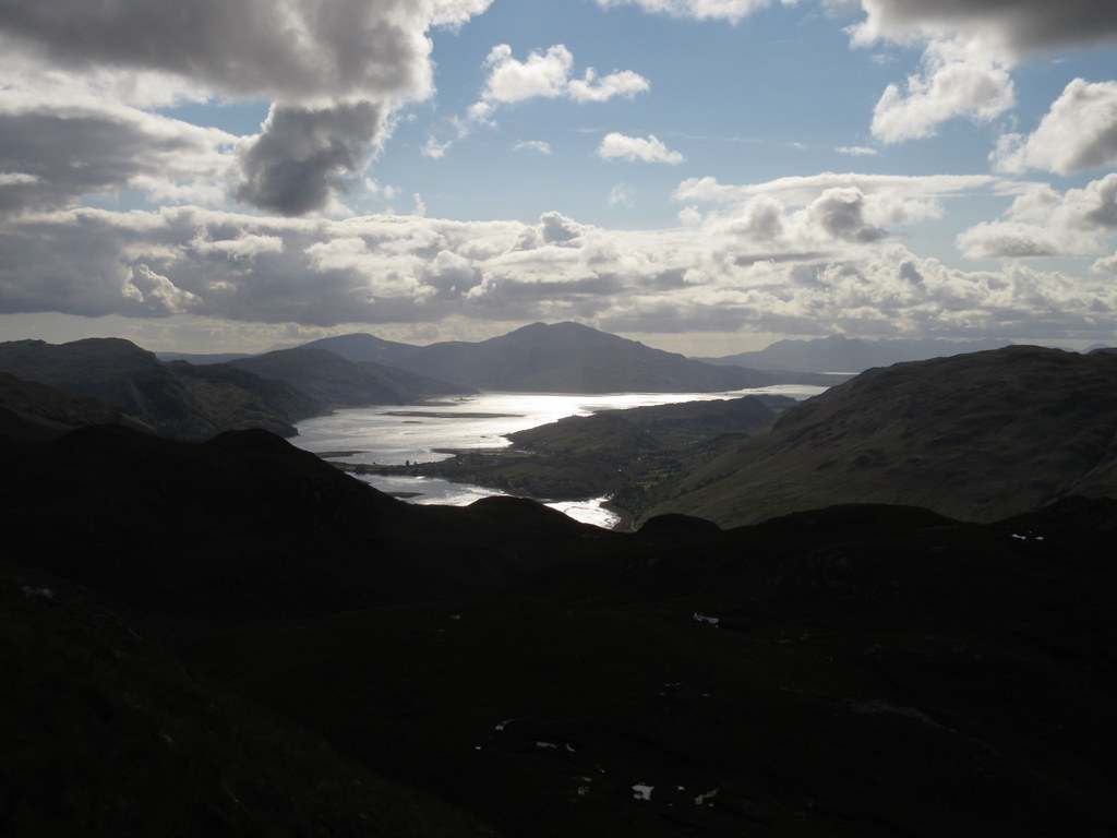 Out to Skye and Loch Duich
 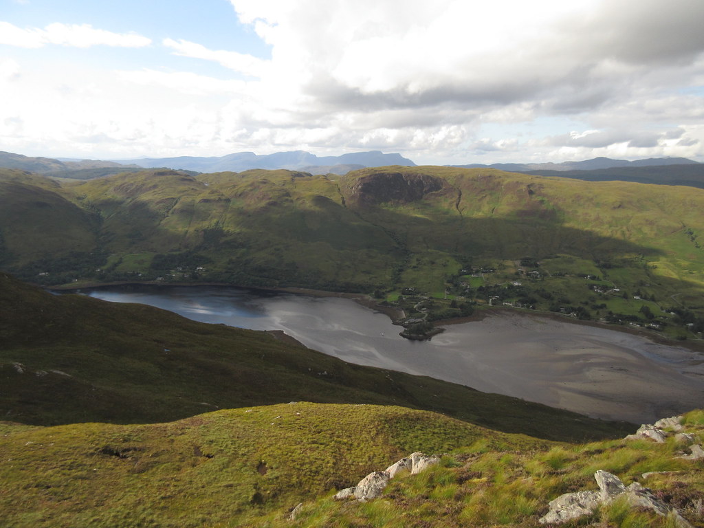 Sallachy and Loch Long
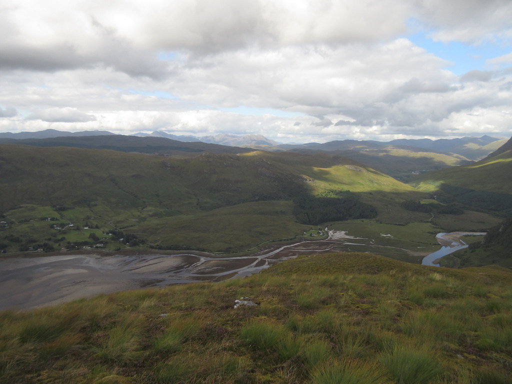
 I decided the quickest way back to Dornie would be to follow the burn which lies just to the S of the summit westwards. A line of bamboo canes led the way, presumably to guide anglers up to the lochan. Then there were various tiers of crags to work through, followed by more heather that could almost induce tears! The bamboo canes vanished where they would have been most useful (or went off in an easier, longer direction), and I bashed my way down until I was overlooking a farm at Bundalloch. For consolation, the position above Loch Long was stunning.
 Descending Beinn Mheadhoin
 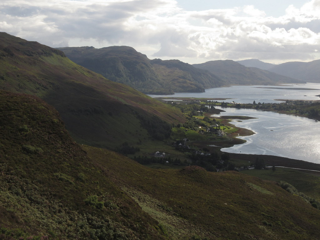 Loch Long, Dornie and Loch Duich
 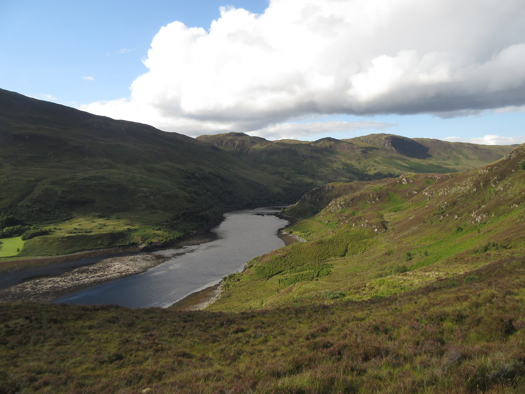 Last look up the narrow section of Loch Long
 I finally hit grazing ground, and the last short descent to the River Glennan was straightforward. In the end, I didn't use any paths on this hill whatsoever

.
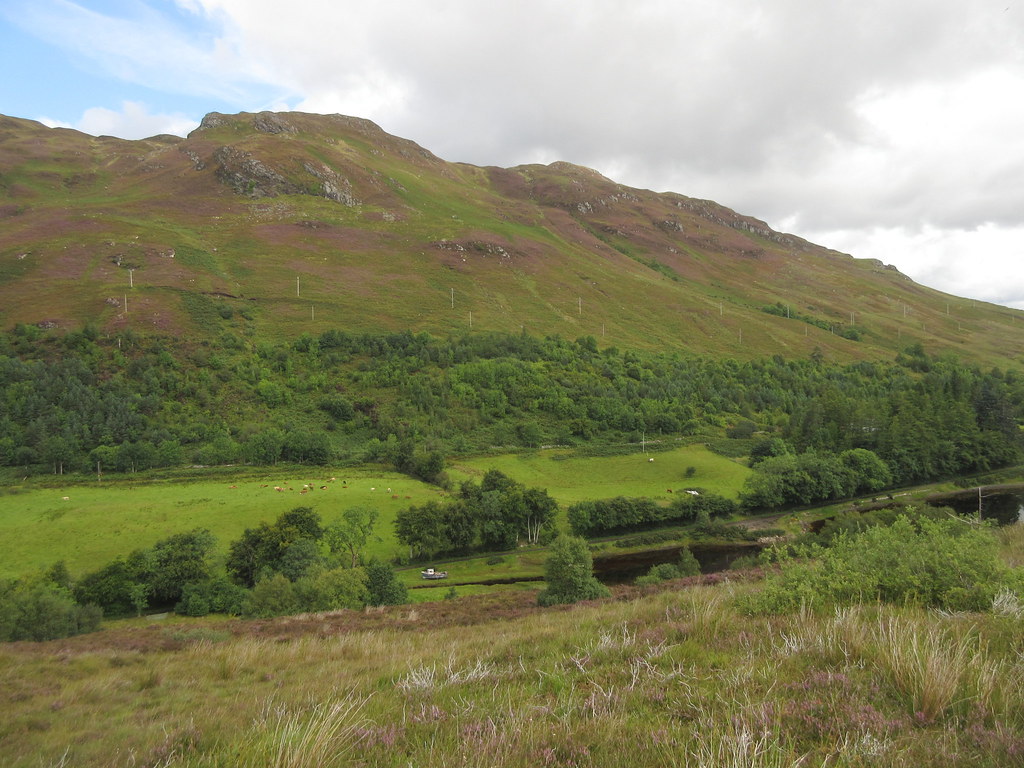
 Glen Behind Bundalloch
 All that remained now was a 30 minute stroll along the shores of Loch Long back to Dornie. Unsurprisingly this was lovely, and another nice road to walk along (although a bit busier than the one on the other side of the loch). I stopped to change into trousers and used the break to empty the bits of heather out of my boots - there was about 10 times more than any other time I have done this!
 Beinn Mheadhoin from Carndhu
 The couple of pints became an extremely swift pint, and the bus arrived on time. The whole thing took longer than I expected, and I was quite tired at the end. Perhaps down to the humid conditions, but mostly due to the amount of heather bashing. Still, if you can tolerate a bit of rubbish ground, this is a really good circuit.
