free to be able to rate and comment on reports (as well as access 1:25000 mapping).
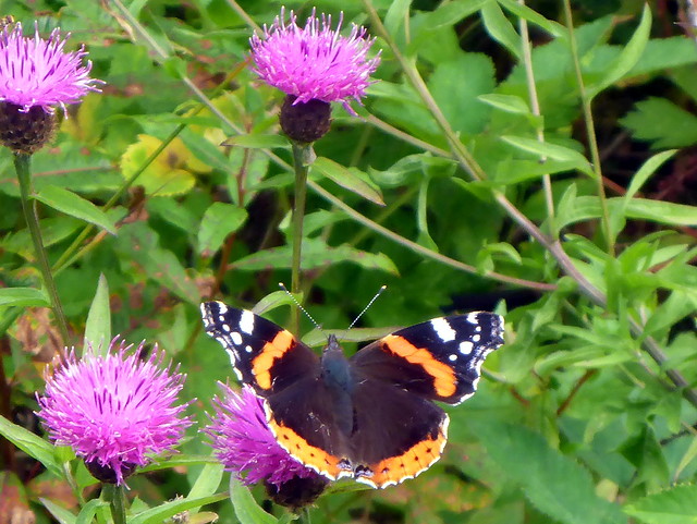
Wee quickie for Monday afternoon. Left work late morning and drove up Fintry way - I know this part of the country much less than many places further north despite it being only a few miles from home. Parked at the Todholes Car Park and set off along the track, following the standard WH route. Lots of busy flowers. Lots of dogs - we passed at least 3 folk walking a pack of up to 8 dogs - maybe the good folks from around here are all too busy to walk their own pooches and professional dog-walkers have a field day. The dogs seemed to be enjoying it anyway.
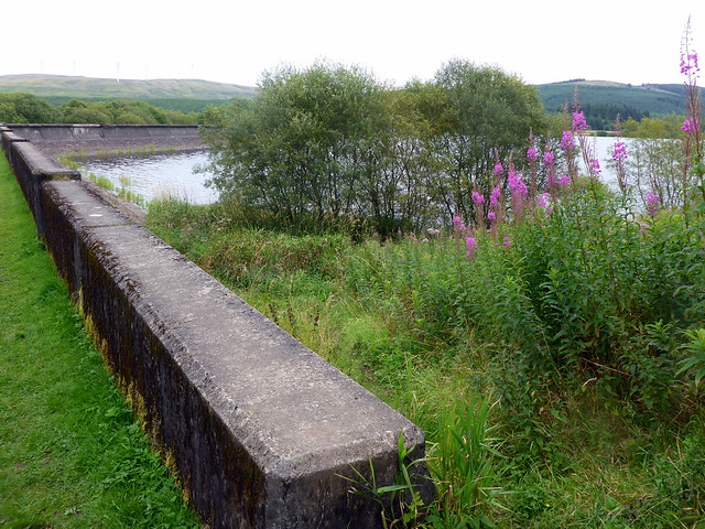 P1170041
 by
Al, on Flickr
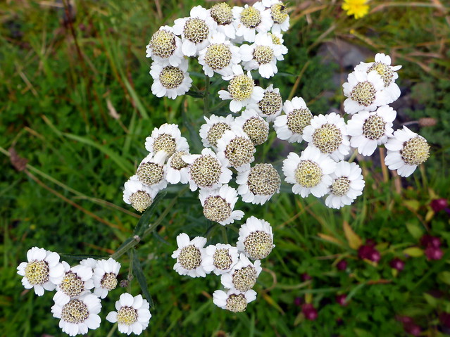 P1170043
 by
Al, on Flickr
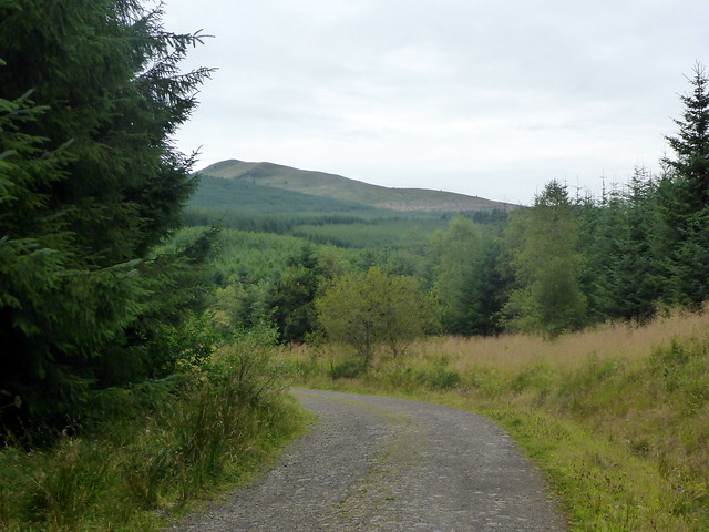 P1170044
 by
Al, on Flickr
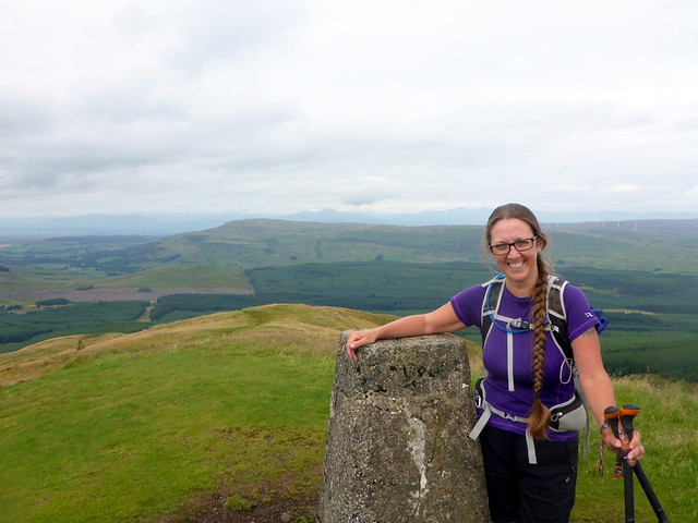
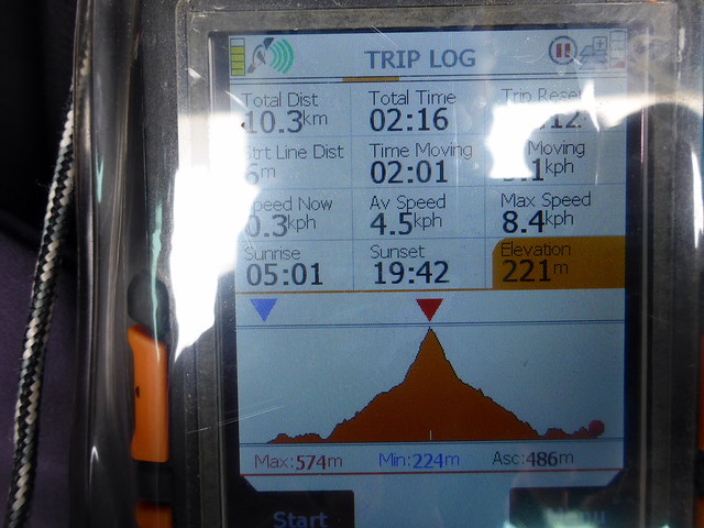
The route is signposted, although I was dismayed to find most of the signs have racist graffito - this extends to the summit trig which has a christian cross cut into it and a muslim crescent moon above. Really, people, leave your bigotry and hatred behind when you step into Nature. The trees give way to a harvested area that leads onto the hillside proper. It's a nice steep grassy pull from here to the summit. Hazy for views - the Lawers hills visible to the north, nearer at hand Earls Seat looked fine across the valley. Did think about including Little Meikle but it seemed too much effort for little return. It did make me investigate the meaning of "meikle" however - I'd thought that "meikle" meant little (as in "mony a meikle/mickle maks a muckle" and therefore it seemed that "little meikle" would mean "little little" but I find that meikle is a form of "muckle" ie big - "Meikle Bin(g) = Big Heap" I stand corrected.
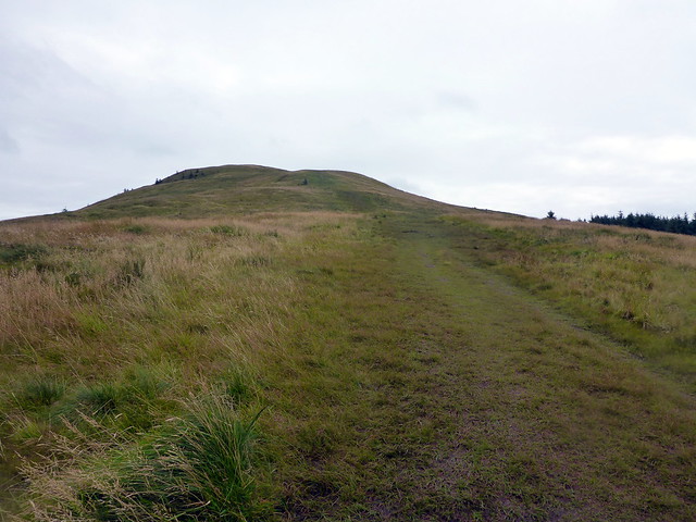 P1170047
 by
Al, on Flickr
 P1170048
 by
Al, on Flickr
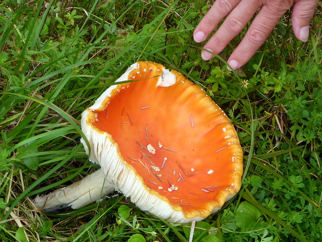
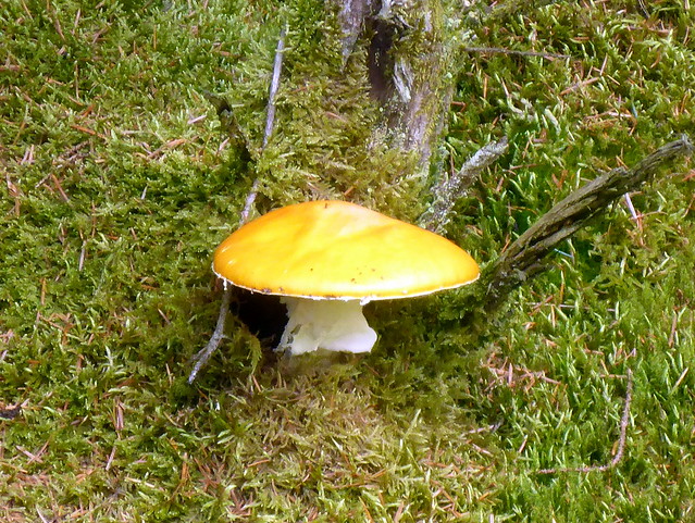
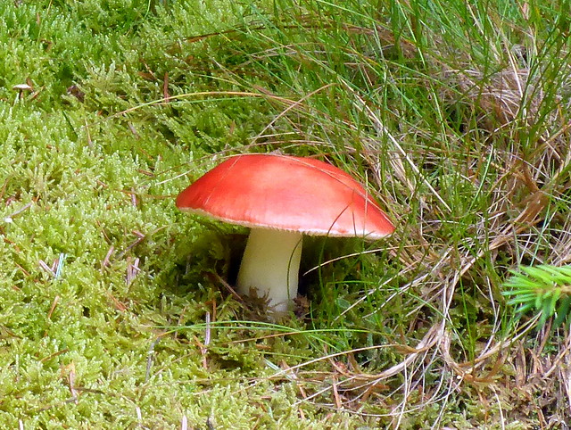
Instead of that extra hill we spotted mushrooms on the walk back, decided we'd never be brave enough to try and work out which are safe to eat and had a pint at the nearby Fintry Inn instead.
 P1170049
 by
Al, on Flickr
 P1170050
 by
Al, on Flickr
 P1170051
 by
Al, on Flickr
 P1170052
 by
Al, on Flickr
 P1170053
 by
Al, on Flickr
