free to be able to rate and comment on reports (as well as access 1:25000 mapping).
This weekend coincided with the date of our first outing on the hills together, 5 years ago on Goatfell. So we decided upon a return to Arran to celebrate that. This time it would be Marilyns on the menu. Took the wee ferry from Claonaig on Friday after work and arrived at a very soggy Lochranza Campsite at 7.30. Sought out a dryish spot to pitch - unfortunately this had been allocated to a campervan the following day so we had to flit the next morning. Anyway, settled down for the night. Twas refreshing after last week's campsite experiences, to be in a properly run site where people are respectful of noise. It did rain some more overnight and the next morning was far from inspiring in appearance- mist and drizzle looked the order of the day. We shifted the tent near to a cluster of other tents and prepared for our first hill, Creag Ghlas Laggan (Fionn Bealach as it's listed on WH). This is situated right beside the campsite.
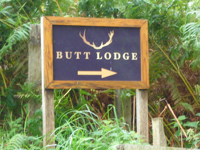
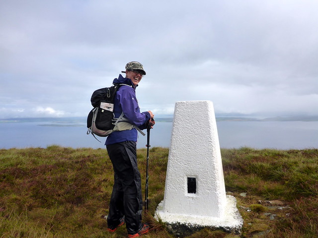
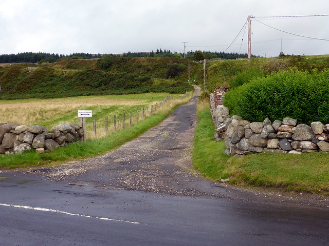
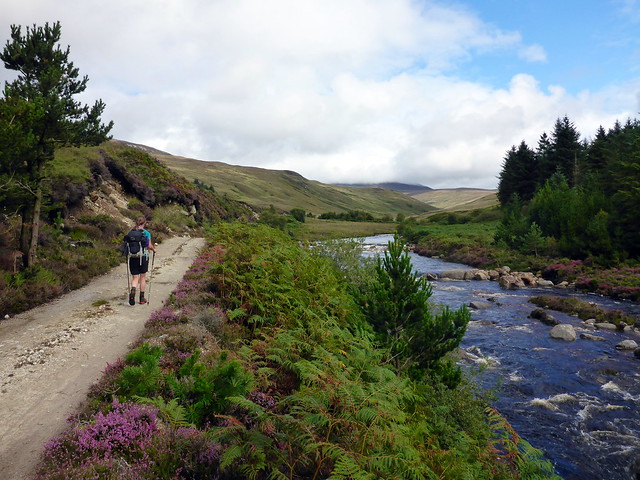
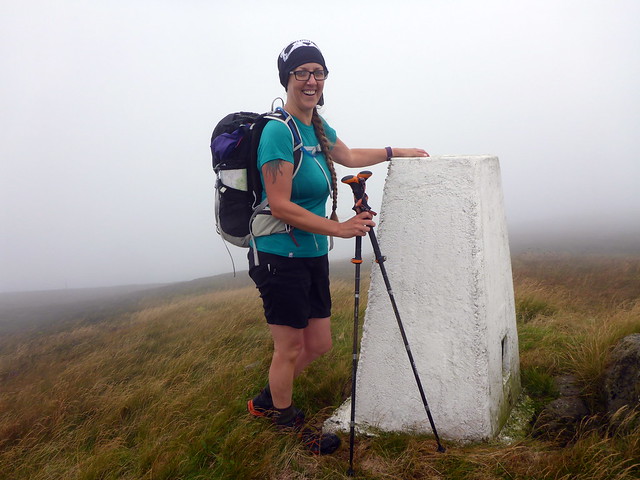
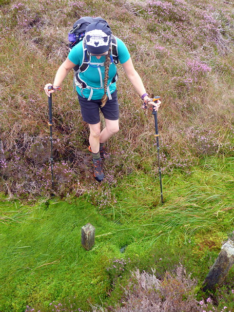
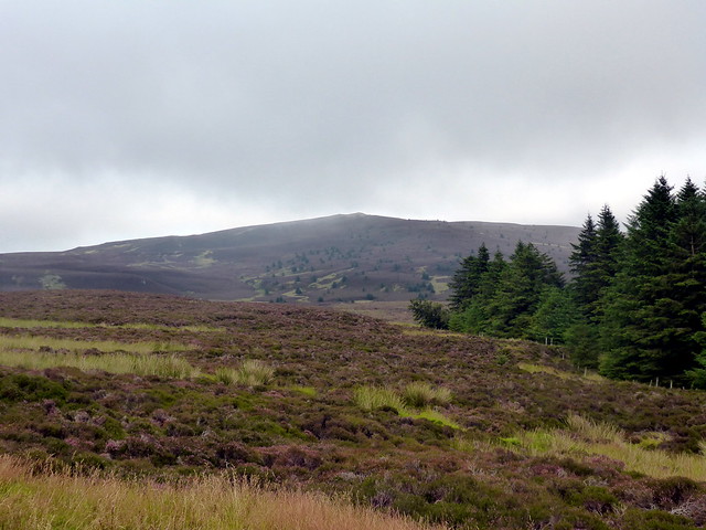
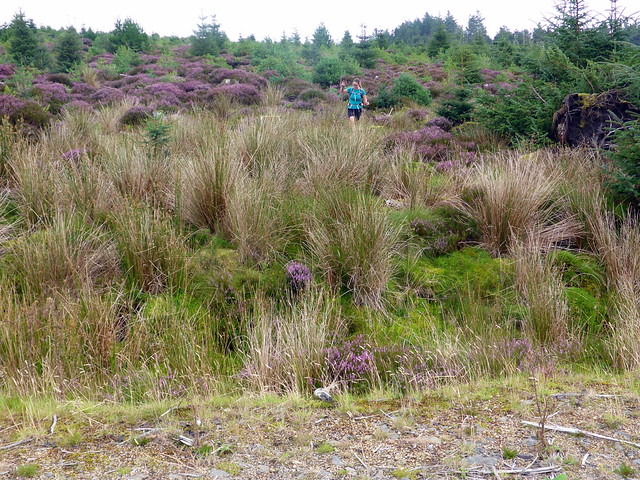
We walked along the road a wee bit til we joined a road leading to Lodge Farm. Quite unusual place names around here...Onto a footpath that passes several more houses then slowly begins to ascend the hillside. The drizzle increased a bit leading to the donning of waterproofs and the clag sat resolutely at around 250m. The footpath heads down to Laggan after a while - so we struck off up the heathery, boggy hillside, sometimes following animal tracks. As we climbed the clag cleared intermittently giving us glimpses out to sea. Arrived at the white painted Trig point and had an early lunch.
Just as well I didn't have Finbar Saunders with me today

 P1170054
 by
Al, on Flickr
 P1170055
 by
Al, on Flickr
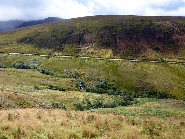
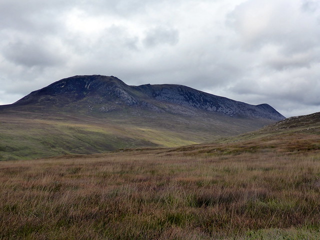
Our hill lies ahead
 P1170057
 by
Al, on Flickr
 P1170060
 by
Al, on Flickr
 P1170061
 by
Al, on Flickr
 P1170062
 by
Al, on Flickr
From here we came straight off the hill making for the main road. A large number of deer moved as we came down the hillside. We joined a footpath on the east side of the river and followed this for a while, hoping there would be a bridge of sorts where it crossed and joined the road - um, no - so it was a battle through bracken and a weave on stepping stones to get across. Back to the campsite.
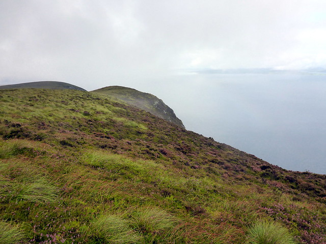
Towards the Witch's Step
 P1170065
 by
Al, on Flickr
Descent
 P1170067
 by
Al, on Flickr
 P1170068
 by
Al, on Flickr
 P1170069
 by
Al, on Flickr
 P1170071
 by
Al, on Flickr
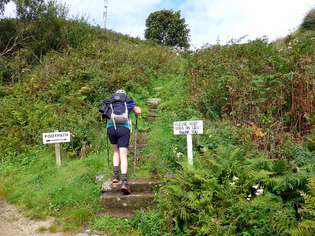
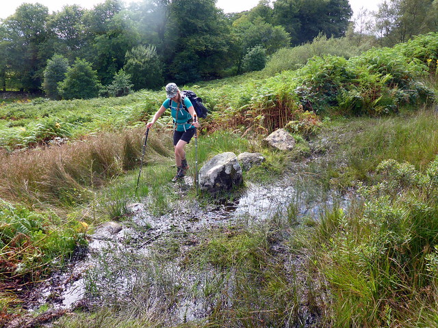
We kept kit on and got into the car to drive down to Dougarie. Our second course was Sail Chamadale via Glen Iorsa. Parked by the boathouse and set off up the marked footpath (although "footbath" would have been more accurate a description). Initially up some irregular steps, beside a couple of fields then through trees and gorse. Spotted a small group of sheep occupying a hidden space under a stunted tree, one of the sheep enjoying a prolonged back rub on a low branch. Path was very wet in places. After a time a footbridge is reached and the footpath joins the much better track that comes through the estate.
Start of walk
 P1170072
 by
Al, on Flickr
Sheep tree
 P1170073
 by
Al, on Flickr
 P1170074
 by
Al, on Flickr
 P1170075
 by
Al, on Flickr
A bit wet, this bit
 P1170077
 by
Al, on Flickr
Onto terra firma at last - Sail Chalmadale ahead
 P1170078
 by
Al, on Flickr
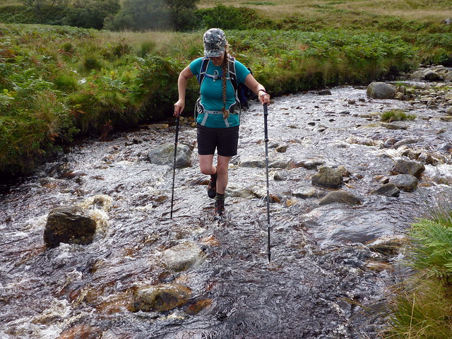
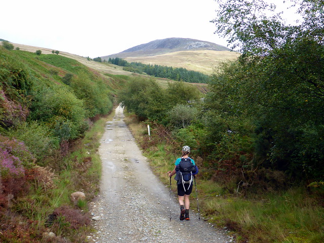
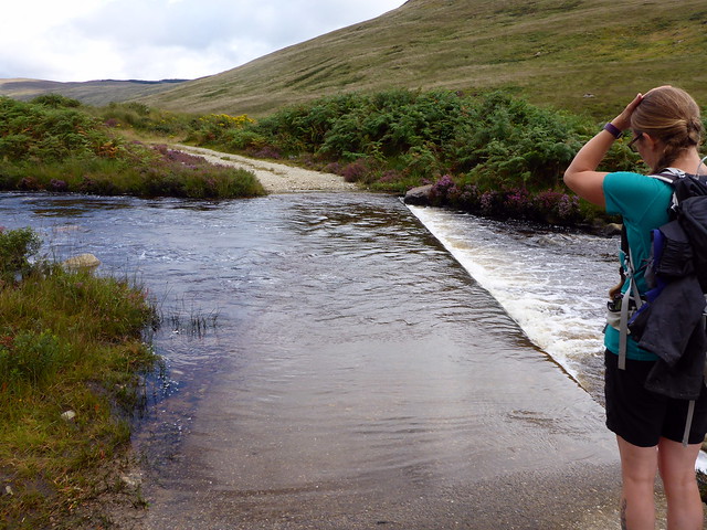
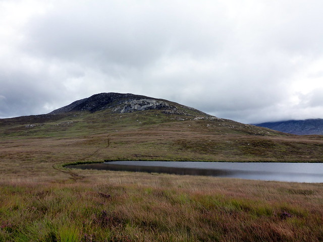
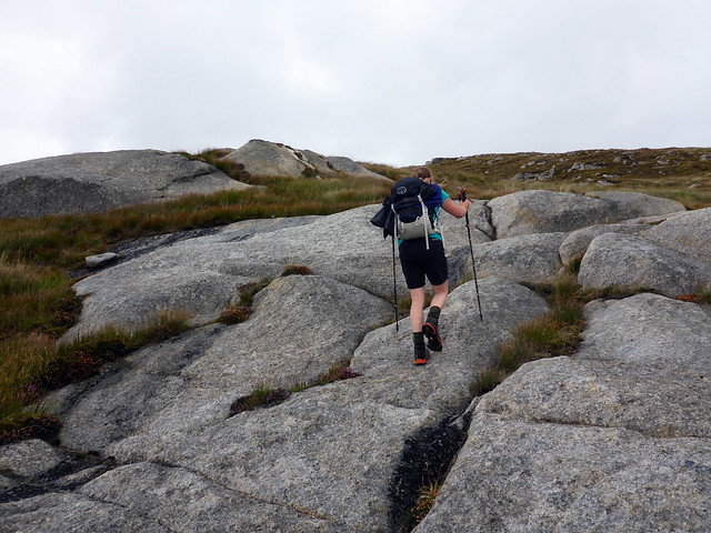
A pleasant walk now, alongside the Iorsa Water. We reach a ford that we decide to remove boots for - the water's not much more than ankle deep but we might as well have a proper "footbath". Across safely and back on the track - there is an ATV track curling up the hill to our left. Following this up to Loch Sail Chalmadale then onto some granite plates which provide some enjoyment to gain the crown of the hill. Good views across to Beinn Bharrain, our final Graham - nice to see the whole mountain stretching out.
 P1170079
 by
Al, on Flickr
Ford
 P1170081
 by
Al, on Flickr
 P1170083
 by
Al, on Flickr
Granite plates
 P1170086
 by
Al, on Flickr
 P1170087
 by
Al, on Flickr
Summit, Beinn Bharrain in backdrop
 P1170090
 by
Al, on Flickr
Beinn Bharrain
 P1170092
 by
Al, on Flickr
We follow our outward track back, enjoying the views of beinn Bharrain now the clag has lifted. Don't bother to remove boots on the way back over the ford - none the worse for it either. It has turned out a pleasant afternoon as we walk back - I think about getting the seats out and having a beer in the sunshine back at the campsite. A good walk, this one.
 P1170094
 by
Al, on Flickr
The weather has other plans and by the time we've driven back the clag is down and the breeze has dropped to nothing - midges are out in force. So it's dining inside the safe haven of the tent again. A lot more tents have arrived and it's a little crammed in the tent section. This poses a problem in the night when the inevitable campsite snorer starts up - there are 2 of them in action and it's relentless. I eventually find a way of imagining the noise as a naturally occurring phenomenon like a stream babbling - funny how it's easier to cope with some noises rather than others - but that takes me a while to manage.
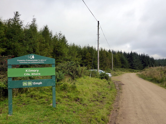
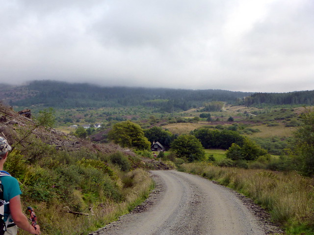
Sunday morning is sunnny initially, although by the time we get breakfasted and packed up the mist is coming down again and there's a threat of drizzle. Our plan today is to climb Tighvein in the south of the island - I've made this quite a long walk using forestry track for much of it and taking in a chambered cairn and stone circle too. I haven't driven to the south part of Arran before - scenic it is. We find a small parking area at the start of Kilmory Woods (although there seems to be no reason you couldn't drive a good bit further up the track as an Aussie couple did who we met at the chambered cairn). Set off along top quality track which rose ever so slowly upwards. We pass a wooden house then a bigger estate house & outbuildings after a few kilometres. There is, however, no sign of our hill as the clag is sitting around 300m.
 P1170095
 by
Al, on Flickr
 P1170097
 by
Al, on Flickr
 P1170099
 by
Al, on Flickr
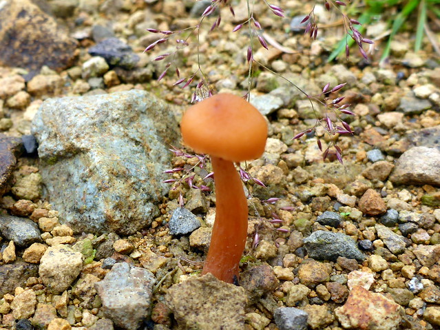
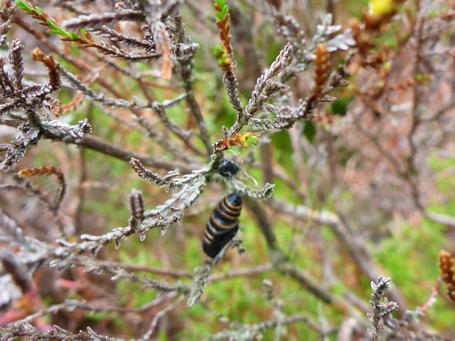
We turn off the main track to Whiting Bay and reach the chambered cairn. Not a lot to see - a pile of stones overgrown by moss and bracken. Apparently it is aligned on the magnificent peak of Ailsa Craig - however clag obscures this from us today. (Ailsa Craig is a Marilyn, of course, so is on the list once I can work out how to get there) We begin the next - and much more demanding- section of the walk. This is to head up the hillside through cleared forest. I find a "road" of crushed branches which makes matters a bit easier, but every so often the branches break and you can potentially fall into whatever is below. Allison's not enjoying this wooden version of Russian roulette much. There are also drainage ditches to be jumped. After a time we come out of the tree remains and have to cross a very boggy patch - seriously "man-eatingly boggy" stuff here - and gingerly negotiate our way to safety. We reach a gully and pause for lunch. I spot a pupa probably a Fox Moth one, dangling in the midst of a clump of heather - haven't seen that before.
Carn Ban
 P1170101
 by
Al, on Flickr
 P1170102
 by
Al, on Flickr
 P1170106
 by
Al, on Flickr
 P1170107
 by
Al, on Flickr
Pupa
 P1170108
 by
Al, on Flickr
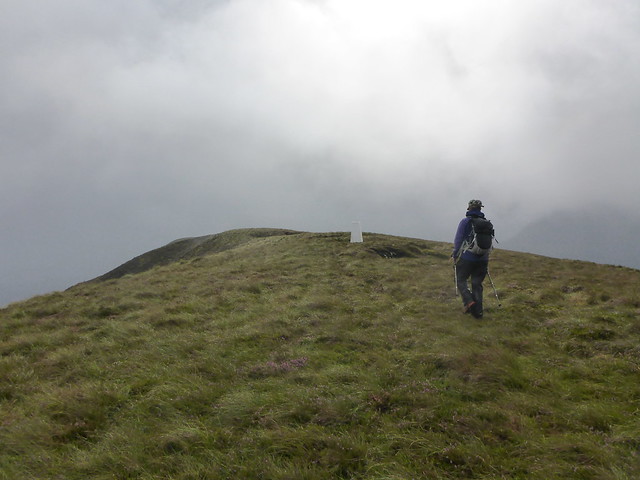
Onwards into the mist. Underfoot the tree debris and bog have been replaced by knee high heather - not much easier going, a bit like wading through deep snow. We slowly make our way up to the top of Tighvein, which has several false summits before the trig is reached.
 P1170109
 by
Al, on Flickr
 P1170112
 by
Al, on Flickr
 P1170113
 by
Al, on Flickr
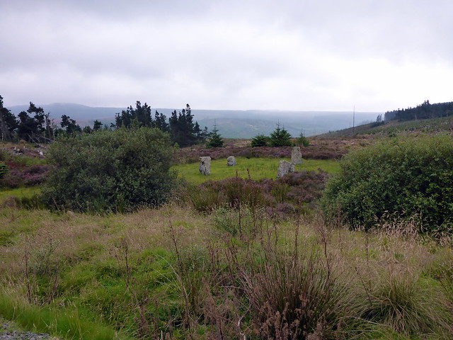
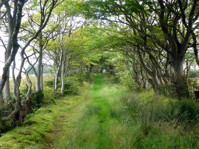
From here we follow an old fence line through Coire Leathaid - again mighty boggy in places - until we pass a line of trees and turn south. I'm hoping to find a firebreak in the plantation as shown on the map - however we find that an area of forest has been cleared (and re-planted) on the right of where the firebreak may be, and the track is visible beyond this, so we take that instead. A few more adventurous steps onto very unreliable dead wood and we make the path. Next up is a cute stone circle in a grassy clearign surrounded by heather. We have a look around and continue on the track. I make the mistake of following a signpost for Kilmory, not realising we should have kept straight on to re-join the path we'd come in on. We pass a lovley cottage in the woods and have a chat to the lady living there who's out gardening - it's only after we've walked past this that I realise we've taken the wrong route. No matter - this track will lead us to Kilmory, just to the west of where we set off. We decide to keep going rather than turn back - the track suddenly becomes a boggy footpath then wends through a delightful avenue of trees that bend over above to enclose the path. Eventually we come out at Kilmory church and walk (uphill!) back to the car.
 P1170114
 by
Al, on Flickr
 P1170117
 by
Al, on Flickr
View back to Tighvein
 P1170119
 by
Al, on Flickr
More dead wood to negotiate
 P1170121
 by
Al, on Flickr
Almost back to the track
 P1170122
 by
Al, on Flickr
Stone circle
 P1170123
 by
Al, on Flickr
 P1170126
 by
Al, on Flickr
 P1170127
 by
Al, on Flickr
Cottage
 P1170128
 by
Al, on Flickr
 P1170132
 by
Al, on Flickr
 P1170134
 by
Al, on Flickr
Ailsa Craig eventually makes an appearance
 P1170135
 by
Al, on Flickr
Kilmory church
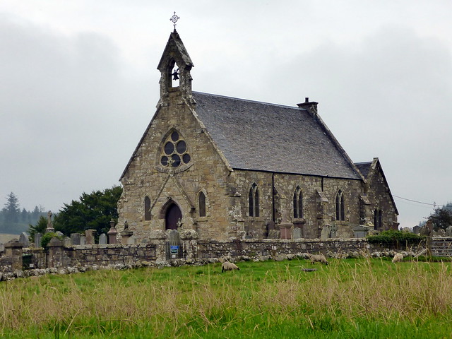 P1170136
 by
Al, on Flickr
Words on a bench
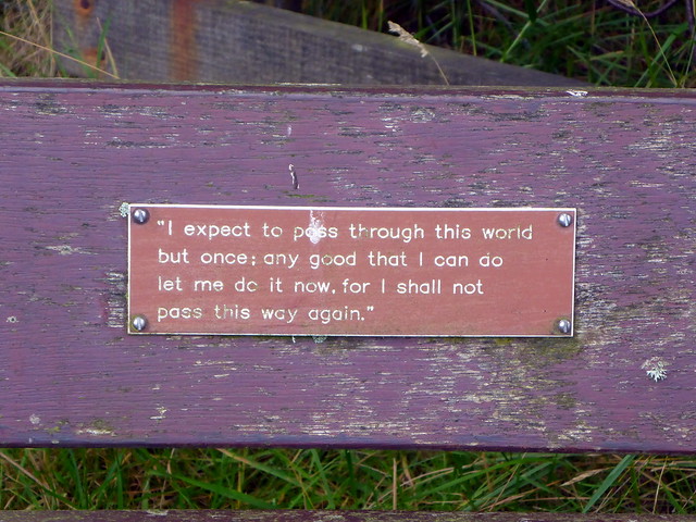 P1170137
 by
Al, on Flickr
 P1170139
 by
Al, on Flickr
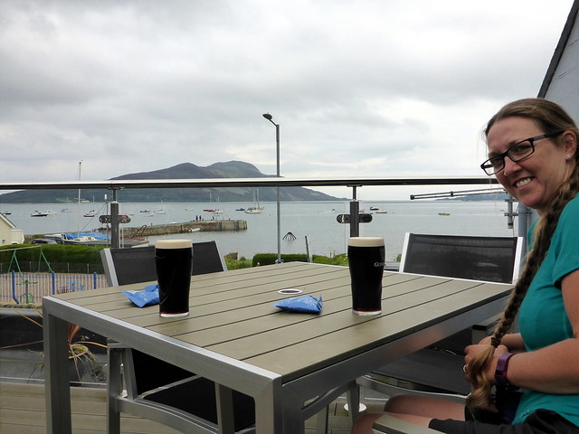
A drive round the southern tip of the island takes us to Lamlash where we stop for a pint in the sunshine in the Pier Head Tavern, looking over to the lovely Holy Isle (another Marilyn which Allison has been up and I haven't). We head back to Brodick, having booked a place on the last ferry at 7.20. This gives us time to make our tea in the Co-Op car park and get to the ferry in good time.
Looking over to the Holy Isle
 P1170141
 by
Al, on Flickr
