free to be able to rate and comment on reports (as well as access 1:25000 mapping).
This was day 2 of my Glen Shiel trip, having been blessed with a cracking day the day before, the weather was closer to what the forecast was saying, but still better than expected so I was hopeful of at least some decent summit views. I had spent the night at the Cluanie Inn (ideally placed for starting/ending walks and there's a large carpark for non-hotel guests as well).
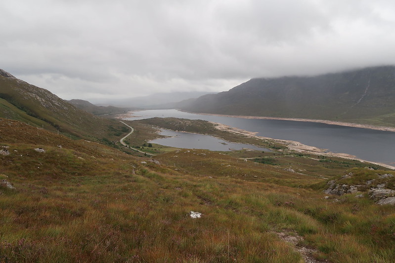
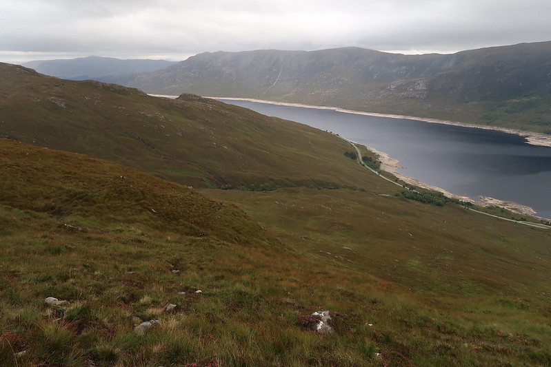
The car park for these three though is about 5 minutes along the road from the inn and there is a track up the hill that ends by a mobile phone mast about 1km in. From there a decent path heads off to the right up the hill and fast progress can be made upwards
 IMG_0243
 by
matthew_chalmers, on Flickr
 IMG_0246
 by
matthew_chalmers, on Flickr
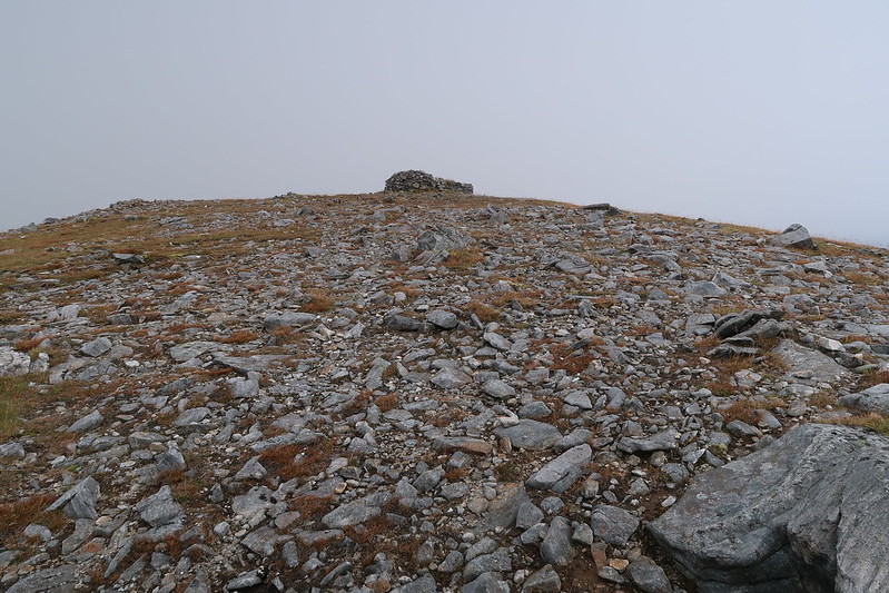
The path zigs zags its way up onto the flat summit of Carn Ghluasaid where there is two summit cairns, tagging both to make sure, I'm pretty sure it's the one away from the cliff edge that's the true summit, but the one on the edge has the views.
 IMG_0248
 by
matthew_chalmers, on Flickr
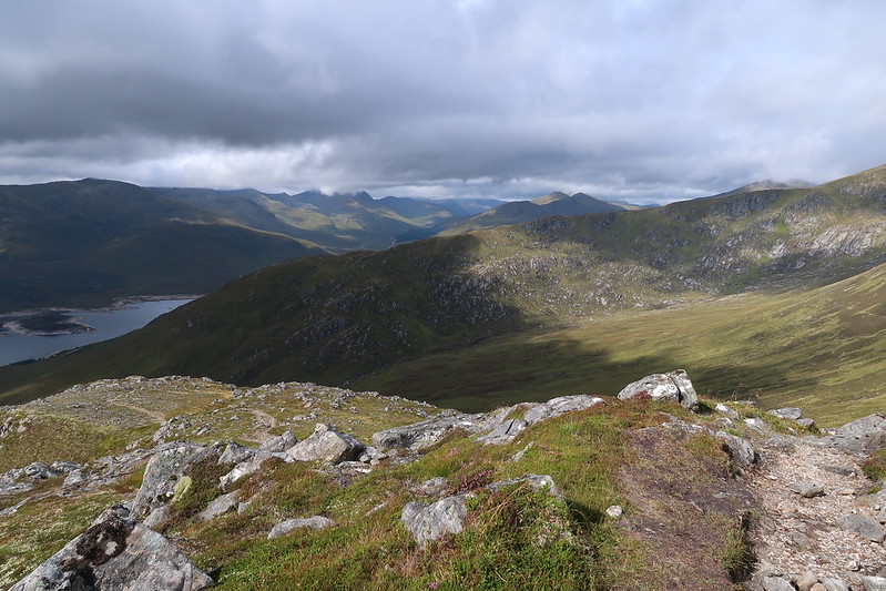
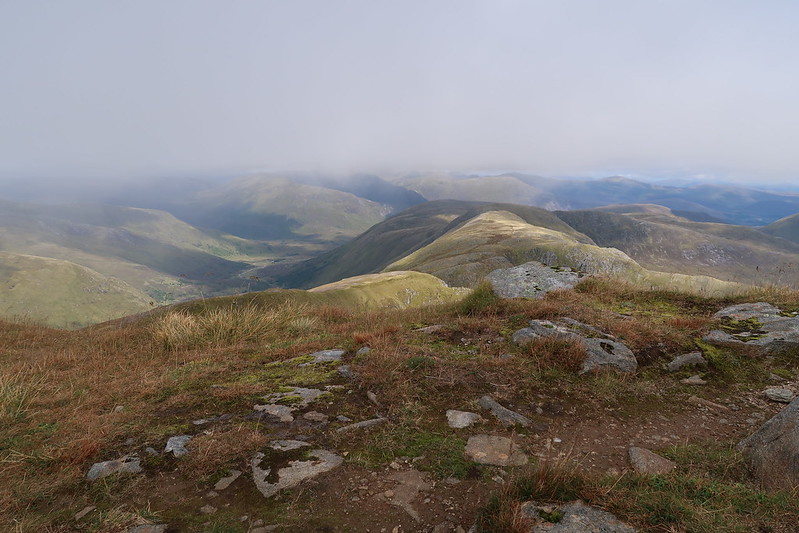
From the top here there's still an obvious path to the next Munro and it's a straight forward walk over.
 IMG_0250
 by
matthew_chalmers, on Flickr
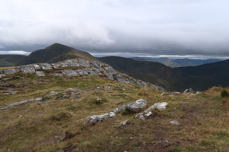
The cloud was just hanging around the summit of the next Munro, Sgurr nan Conbhairean so sadly there was no real views to be had, but there is a decent sized cairn and shelter marking the summit.
 IMG_0251
 by
matthew_chalmers, on Flickr
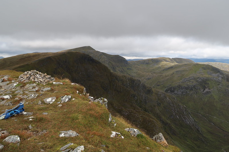
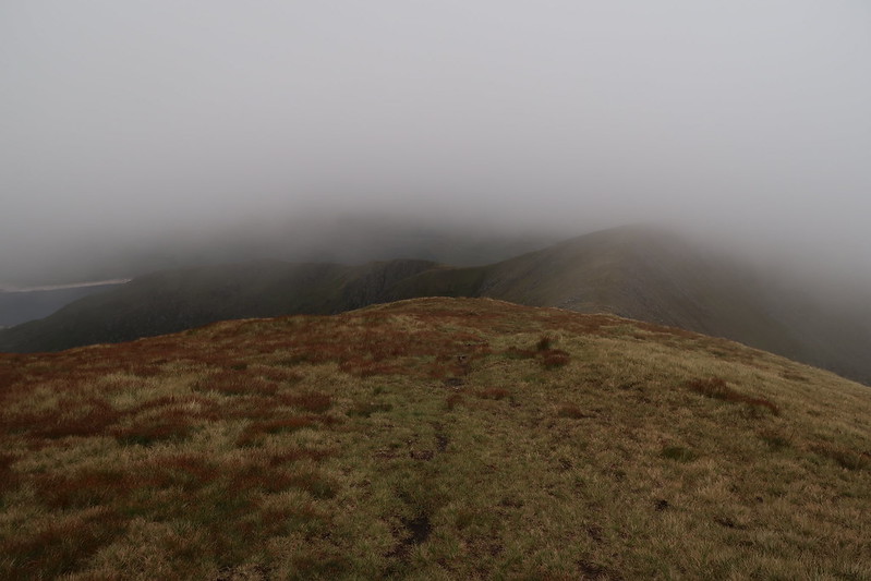
After a quick lunch stop, it was time to head off again for the last Munro of the day, Sail Chaorainn.
 IMG_0252
 by
matthew_chalmers, on Flickr
Again this was a straight forward walk over to the next one, with the merest of ascent to the top, with not much of a cairn marking the summit, so much so I had to get the map and check my bearings with the surrounding scenery to make sure I was at the actual Munro as the next top along looked more fitting, but it must just be an optical illusion as the map shows it being the top that's 1m lower than here. After confirming it with the couple just behind me it was time to make my way back to the car via the way I came.
 IMG_0256
 by
matthew_chalmers, on Flickr
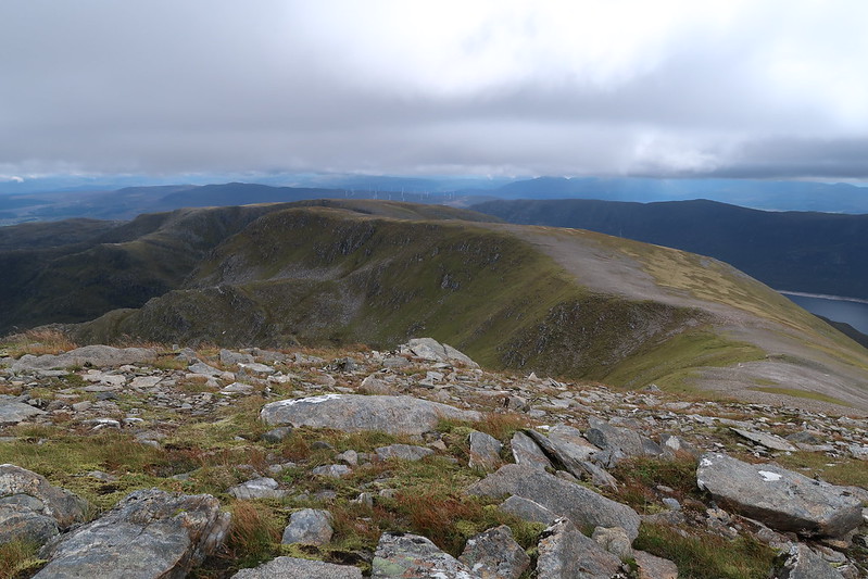
At this point the cloud started coming back down again. I had planned on taking the alternative route back and having spoken to the couple, they confirmed there was a small cairn marking the turn off (I missed it on my way over), but even in the cloud it was an easy find.
This path swings over to Drochaid an Tuill Easaich and there was a faint path all the way over and most of the way down back towards the road.
 IMG_0258
 by
matthew_chalmers, on Flickr
Eventually though the path gives way to more of a stream through the grass that was slippy, muddy and boggy. I'm not entirely sure I had came the right way though as the route on WH is much more to the east than a south east path I took, but eventually there was a more pronounced path again, just before reaching the old miltary road and ford over the river.
 IMG_0265
 by
matthew_chalmers, on Flickr
From there it's a straight forward walk along the old military road back to the mobile phone mast and back down to the car park.
