free to be able to rate and comment on reports (as well as access 1:25000 mapping).
I should have paid more attention to the WH guide as to where to park, in the end I parked right at the gates at the start of the walk, though I think there is actually a parking bit on the other side of the A830 from here.
Not really that much to say about this one, it was a grey, cool day which made for fast walking and there is a good track all the way to the base of the mountain which is maybe 1.5 hours or so walk.
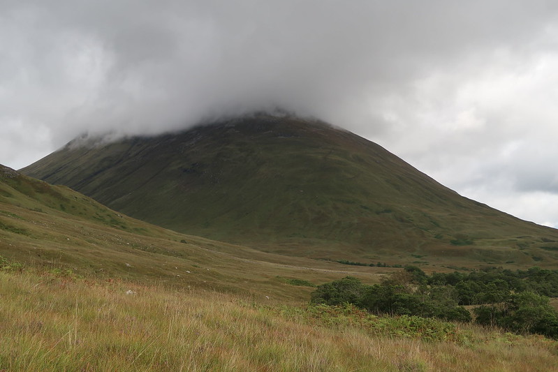 IMG_0267
 by
matthew_chalmers, on Flickr
The path up, at least lower down is nothing more than an eroded stream bed and at times muddy, slippy grass route.
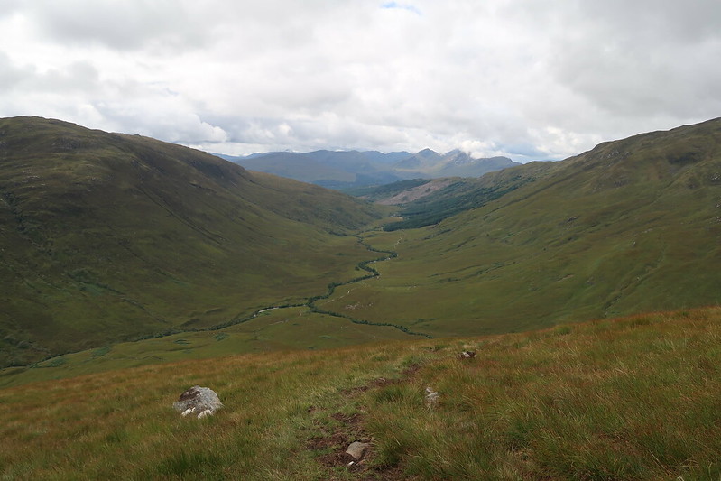 IMG_0274
 by
matthew_chalmers, on Flickr
Further up, it dries out and turns into a better path to follow up to the first top, with the round trig point on it.
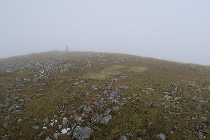 IMG_0278
 by
matthew_chalmers, on Flickr
From there, it's a simple drop to the other side onto the ridge and then onwards to the true summit.
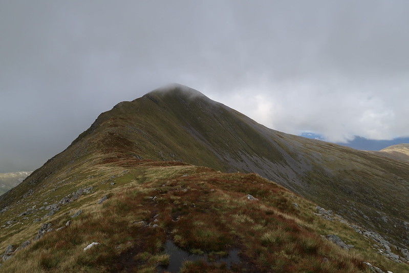 IMG_0281
 by
matthew_chalmers, on Flickr
 IMG_0289
 by
matthew_chalmers, on Flickr
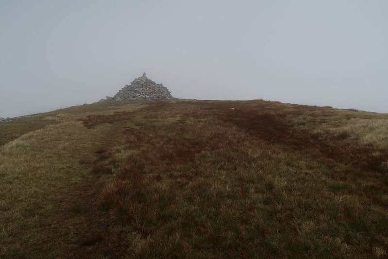
There's a decent sized cairn at the top.
After that, it's just a case of heading back the way you come, taking care on the lower path where it's pretty slippy under foot in the wet.
