
2011 Highlands Tour IV - The Accidental Rock Climb
So far my tour of the Highlands and Islands had taken me to an epic walk on Arran, a relaxing day at Loch Fyne, a hideous war with the rain on Cruach Tairbeirt, a loop back to Glasgow for my girlfriend's birthday and a pleasant climb of Ben Vrackie. My original intention had been to head West from Pitlochry to Rannoch on the bus(es), catch the train up to Corrour, bag Beinn na Lap in the afternoon, then on Friday undertake a classic traverse of Grahams and Corbetts towards Kinlochleven. However, a phone call earlier in the week to the Hillphones line confirmed that deer stalking was scheduled to take place across the whole region North of the Blackwater Reservoir. It was time for a rethink.
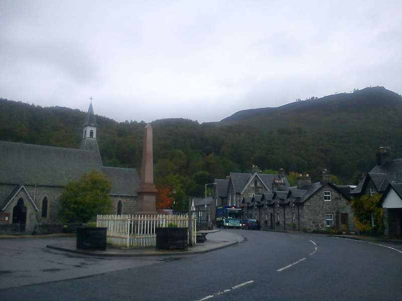
The first bus took me past the Queen's View to Kinloch Rannoch, into a part of the country I'd never visted before. I purchased a fridge magnet that described Kinloch Rannoch as 'The Heart of Scotland'. I think everywhere between Harthill and Fort Augustus calls itself the heart of Scotland, but perhaps Kinloch Rannoch has the best geographical claim to that title.
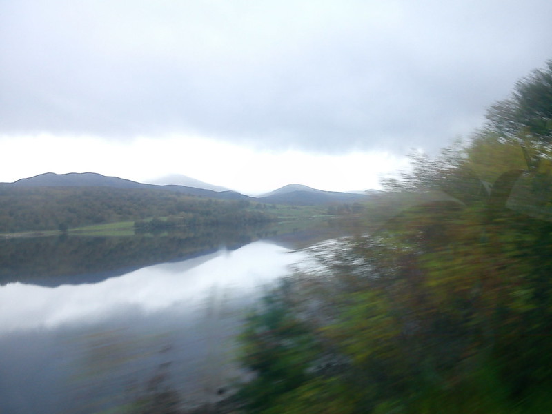
Between Kinloch Rannoch and Rannoch Station I was the sole lonely passenger, as the bus hurtled towards Ye WIlds of Rannoch Moor. My new plan seemed marginally less ambitious/demented, at least in terms of transport commitments. I would aim to climb the remote Graham of Creag Ghuanach at the Southern end of Loch Treig, then on the Saturday attempt a double climb of Beinn na Lap and Leum Uilleim, stopping for lunch at Corrour Station in between, before getting the train straight back to Glasgow on Saturday evening. Corror would provide a fittingly dramatic end to the week.
Bit of an ominous approach to a hillwalk.
Oi - come back!!
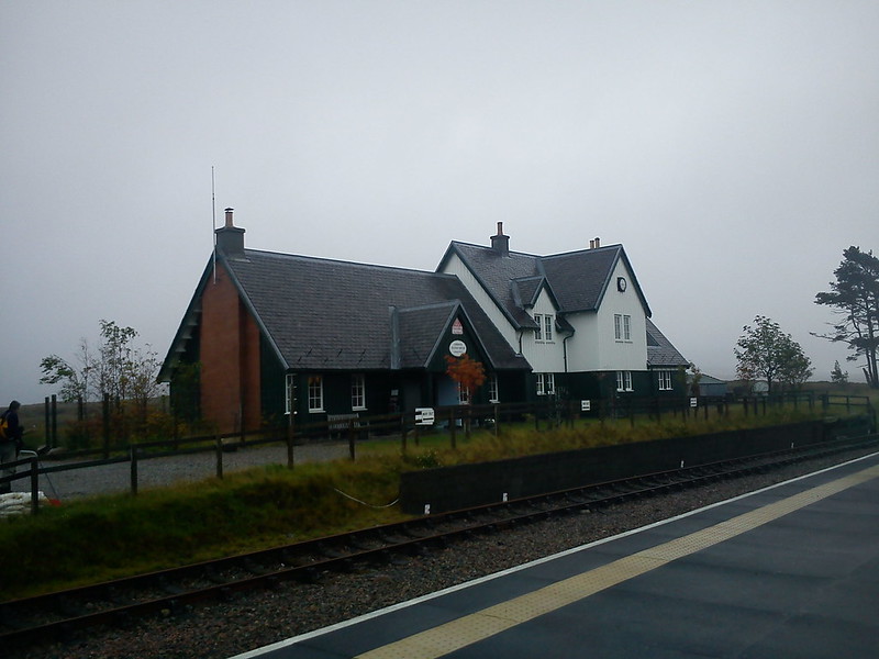
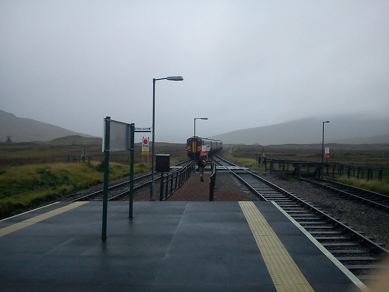
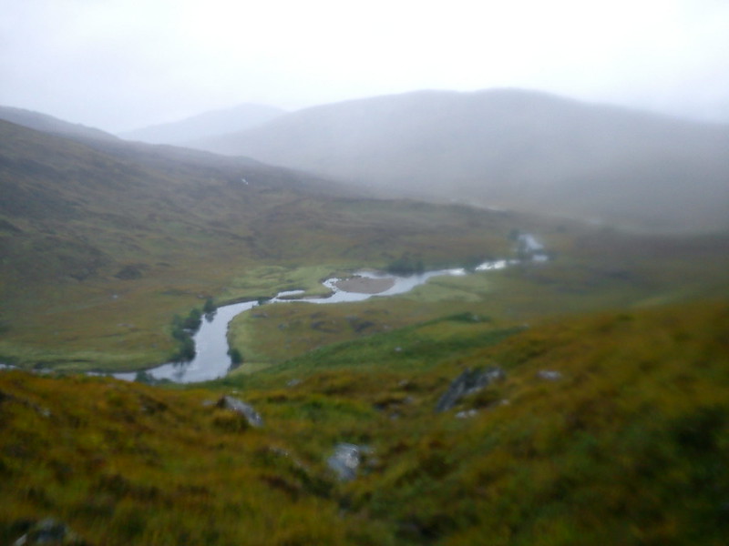
With civilisation now gone (aside from a station restaurant and my hostel a mile away), I was truly on my own now. It's a common misconception to describe the Highlands as one homogenous mass of wilderness (a misconception I often join in with), when in reality there are a wide range of different landscapes. A few hours ago I was stood on Atholl Road in PItlochry surrounded by people, traffic and businesses, but now I may as well be on Mars. But a very misty Mars.
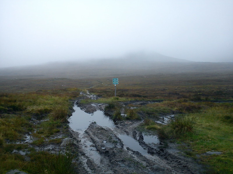
Very boggy as well.
You're telling me pal.
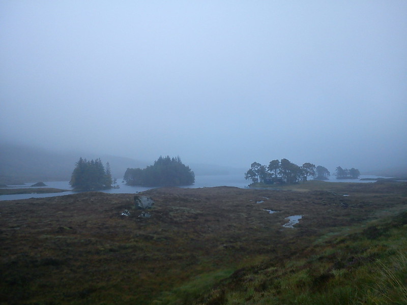
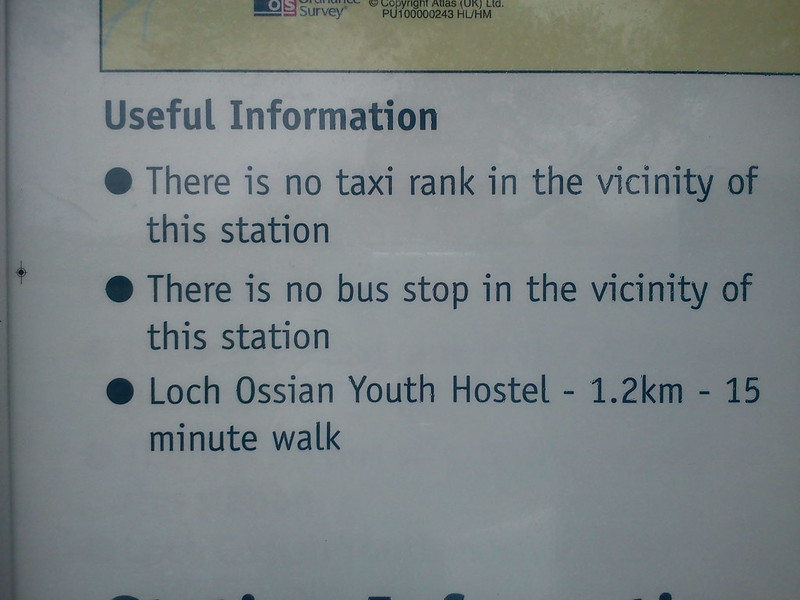
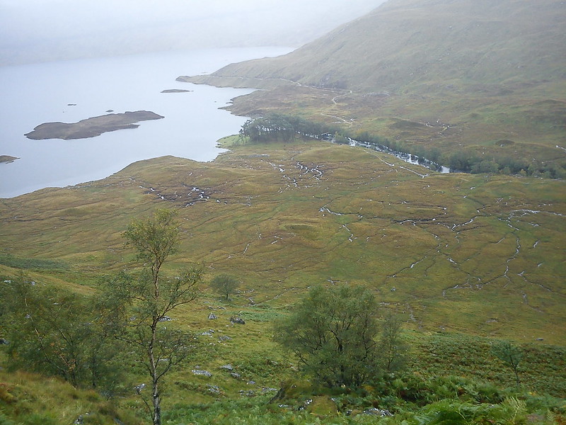
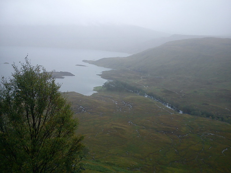
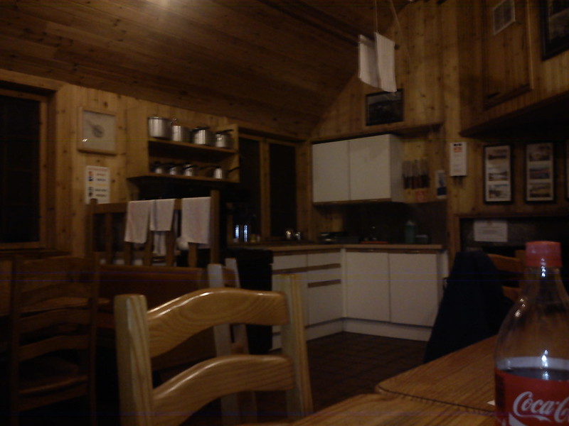
With a spooky-looking Loch Ossian looming out of the mist (I was already more than 400m up thanks to the train), I approached the Youth Hostel. Loch Ossian is one of the most remote hostels in Scotland, perhaps only beaten by Alltbeithe and a few of the ones in the Far North. An intelligent-sounding English man greeted me at the hostel, giving me a full tour of the premises, including the functional eco-friendly bog. I assumed he was the manager, but the more I talked to him in the evening and the next morning I became convinced he was actually a guest. To this day I'm still not 100% sure (is it not unmanned?)
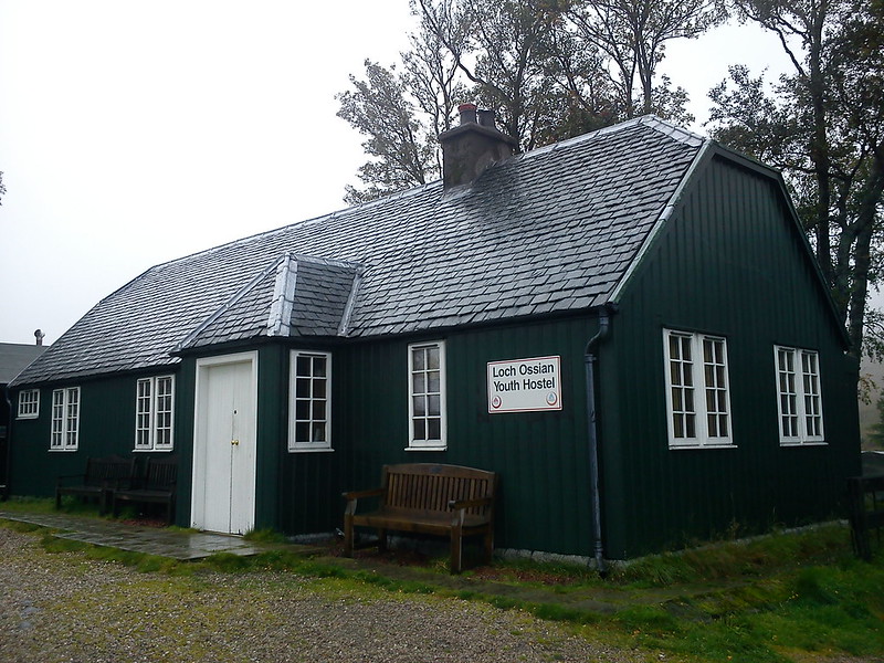
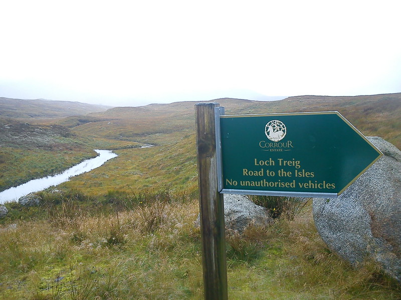
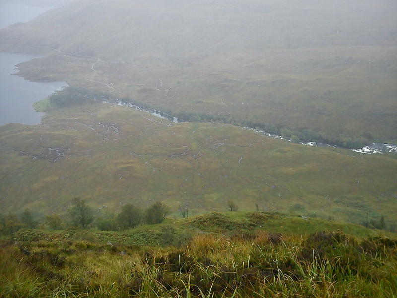
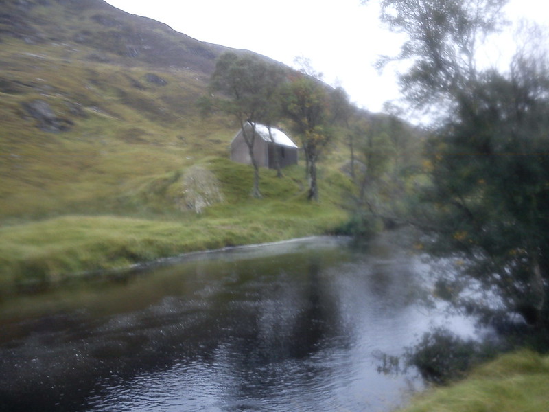
The hostel itself is obviously fairly basic but feels like an oasis amidst the wilds of Corrour. After some lunch I headed out towards the Road To The Isles, which would take me down past the railway to Loch Treig.
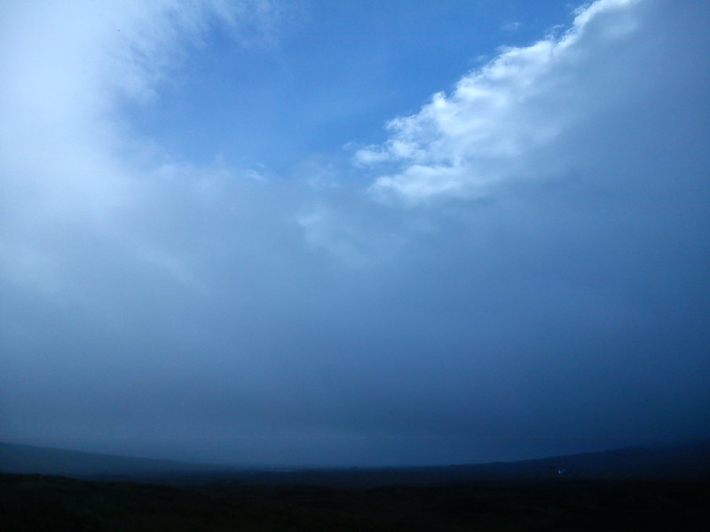
The clouds briefly parted for a few seconds to reveal some blue sky. With this being Corrour, I correctly predicted that it would be the last blue sky I saw all day.
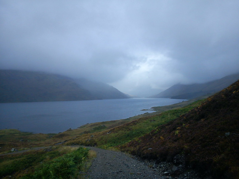
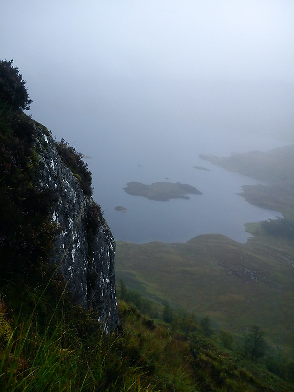
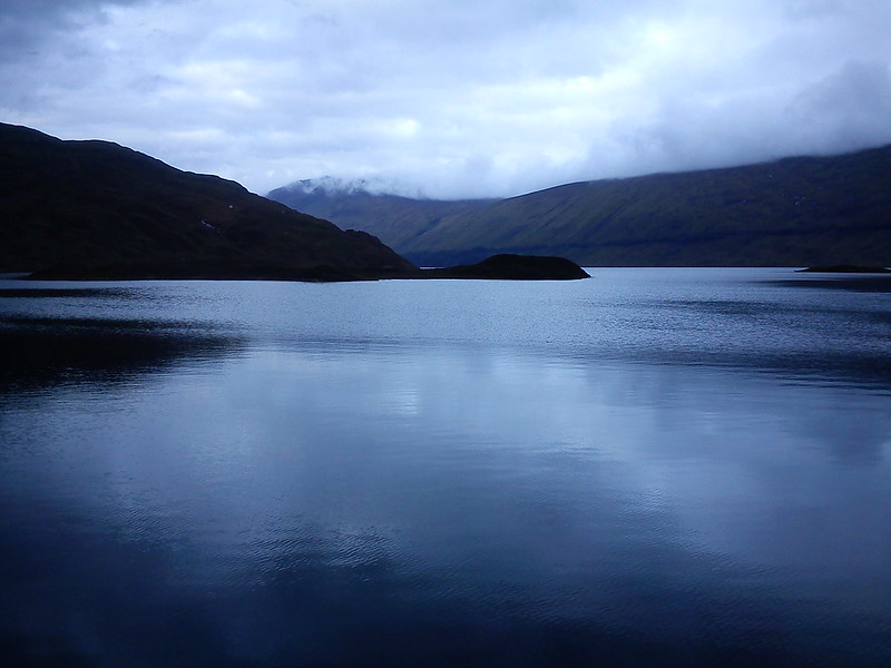
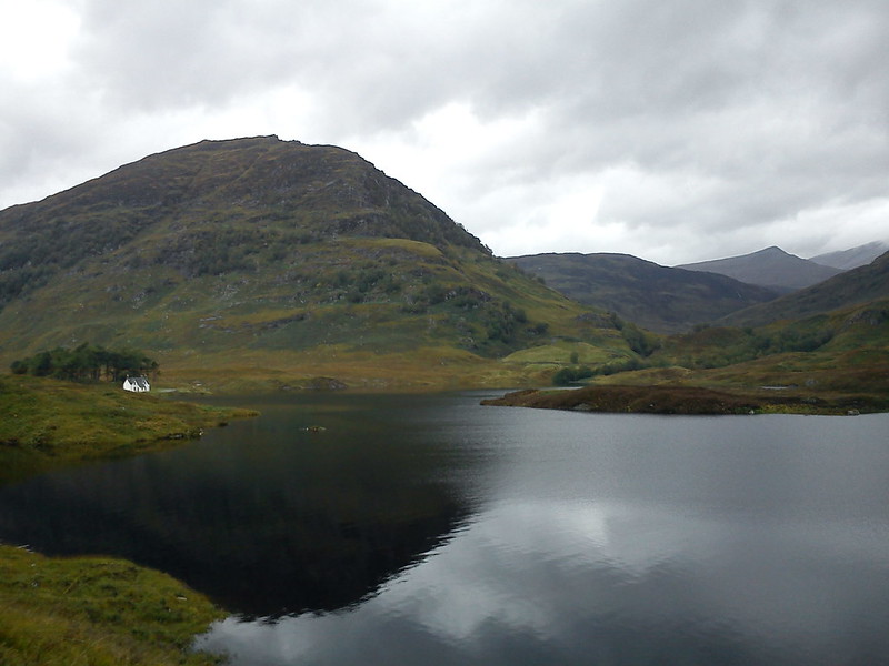
After a long approach the track finally reached a gloomy Loch Treig and headed left towards Creag Ghuanach. There were a couple of campers down by the shore. In hindsight, I should probably have stayed here.
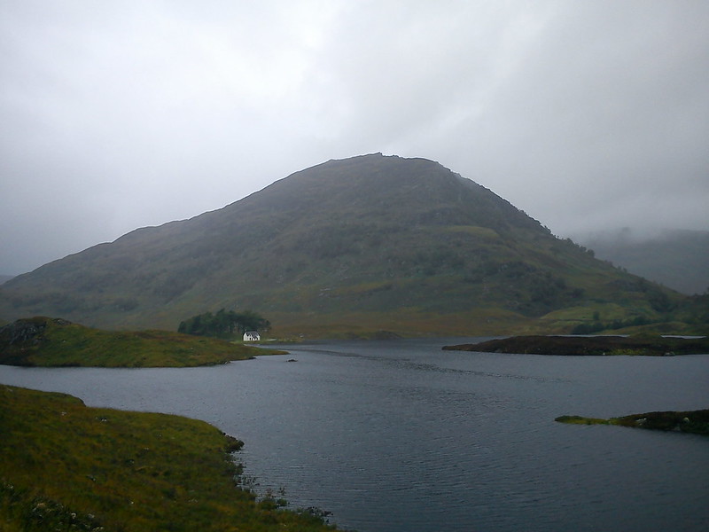
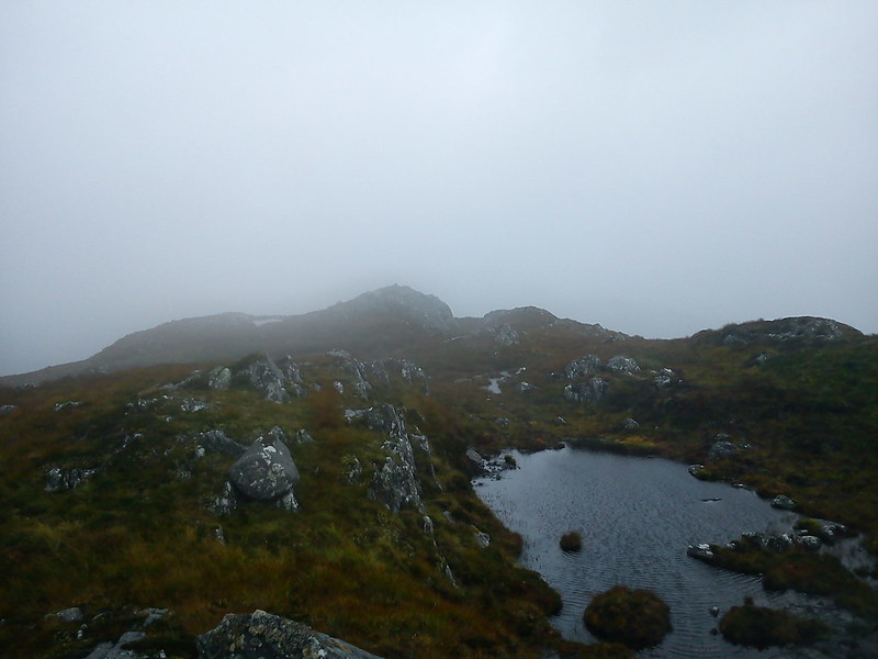
Creag Ghuanach looked resplendent on the Southern shores of the loch. I recalled the Grahams guidebook, which favoured the Eastern face of the hill for its "sporting ascent". Having not much experience of hillwalking at the time, I took "sporting ascent" to mean "not too tricky and great fun". How wrong I was.
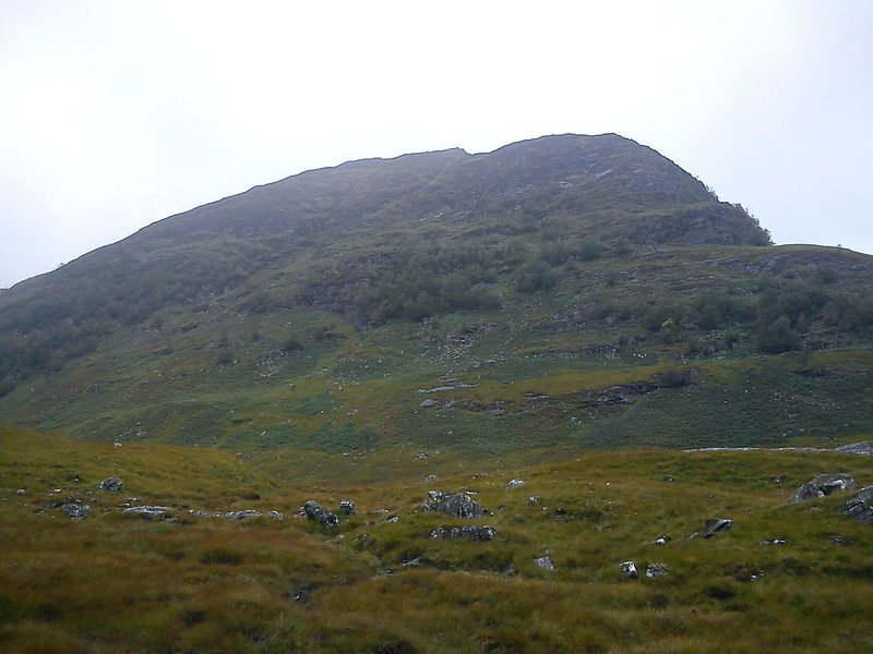
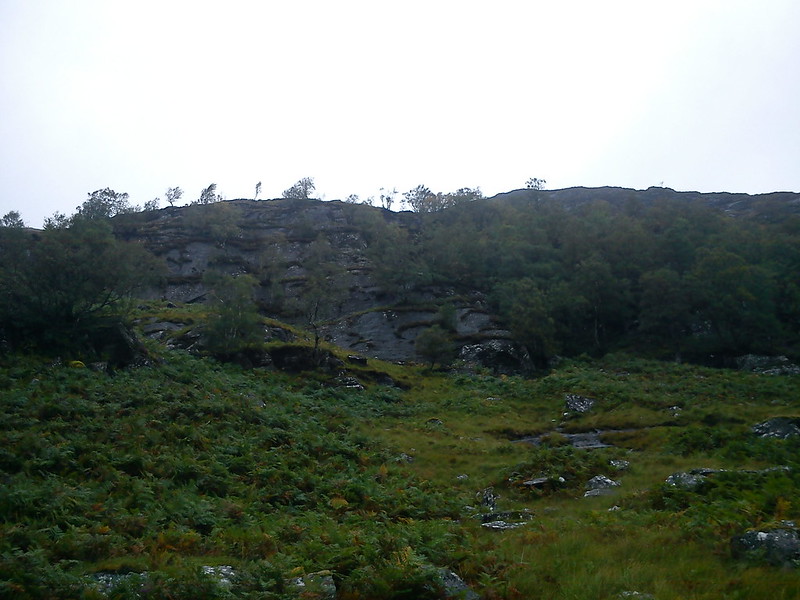
By the time I crossed the bridge at the old derelict lodge and crossed the small moorland, I should already have seen the warning signs. The hill began to loom over me with an imposing feel, and looked craggy further up. Still, at least there were plenty of gaps in the rocks, and the shrubbery halfway up surely meant it wasn't too steep...?
Oh flipping heck...
Before I knew it I was in amongst remarkably steep ground, small bushes and trees. I don't know why I didn't turn back even at this early stage. Following the river South then heading North up the ridge would have made more sense, but already it had been such a huge effort just to climb the first 100m or so. I took on the mindset that I'd started so I should finish. Just as long as it didn't finish me.
Oh for the love of...
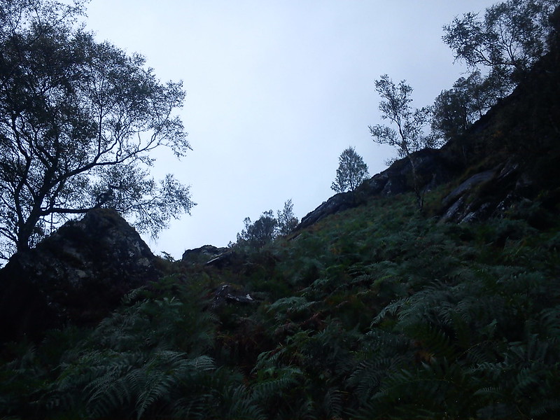
I was perhaps halfway from the lodge to the summit, so there was realistically no turning back now. I couldn't even begin to imagine descending this way anyway. By now I was literally clinging onto individual shrubs to haul me up every few seconds.

A typical side view.
The map shows some brief respite halfway up, but I certainly didn't pass any, so maybe I looped further South than I intended. I had pretty much forgotten what my intention was by this stage, except to stay alive.
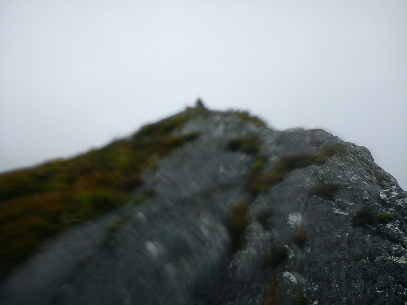
Far in the distance there were walkers heading from Fort William towards Corrour, and a train trundled past. I just hope no-one had binoculars or they would be treated to the ludicrous sight of me using shrubs as a life-saving aid for an accidental rock climb.
The steepest climb of my life was showing so signs of a conclusion. Every look back caused me to temporarily lose my breath. As difficult as it was to come up this way, there was absolutely no way I could descend it. The only choice was to carry on, even if my gut feeling was that every extra metre of height gained was carrying more danger should I fall.
I was in amongst the rocks now, surely to goodness over 500m by now. I was also heading into the clouds. Brilliant. Will I even find the summit, assuming I stay on this hill and remain in one piece?
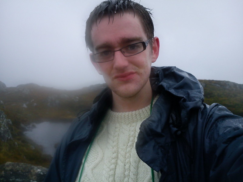
To my overwhelming relief, I crossed the brow of the hill to discover a summit plateau of knobbly rocks and outcrops, feeling like a cat that had used up three or four lives in the one day. And cloud: lots of cloud. I marched towards the highest bit of ground on the horizon for the obligatory selfie, but couldn't really manage a proper smile. It was also raining by now, just to add some more thrills and spills to the mix.
"Sporting ascent", they said. "Sporting..."
I have no idea why I took this. Maybe it looked like the summit at the time. Any Creag Ghuanach aficionados out there: did I definitely summit on this hill?
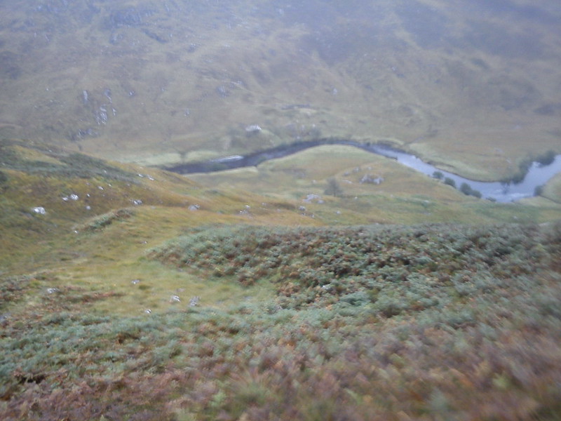
There was no way on this Earth I was descending by the Eastern face, as I value having functioning limbs, so I regained my bearings and headed out of the cloud on the Southern ridge. It was still difficult terrain at first due to all the shrubs and uneven ground, but it was a walk in the park compared to the climb.
It was an incredible relief to find the path at the bottom of the hill, which would take me back round to the derelict lodge and the long, long walk back to Corrour.
My legs were absolutely aching now. Not so much because of the accidental rock-shrub climb (I've read that people who climb up the face of Buachaille Etive Mor do it in no time and are less tired than the walkers, because they haven't had to rely on their legs for all the effort), but more because of the long week, starting with Cir Mhor and Caisteal Abhail. I wasn't sure if I could get the Munro and Corbett done on the Saturday, but at least I had my hostel bed booked. Provided I could haul myself back up the track to Corrour.
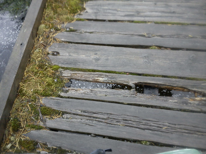
That bridge has seen better days like.
Creag Ghuanach and the "sporting ascent".
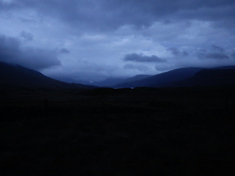
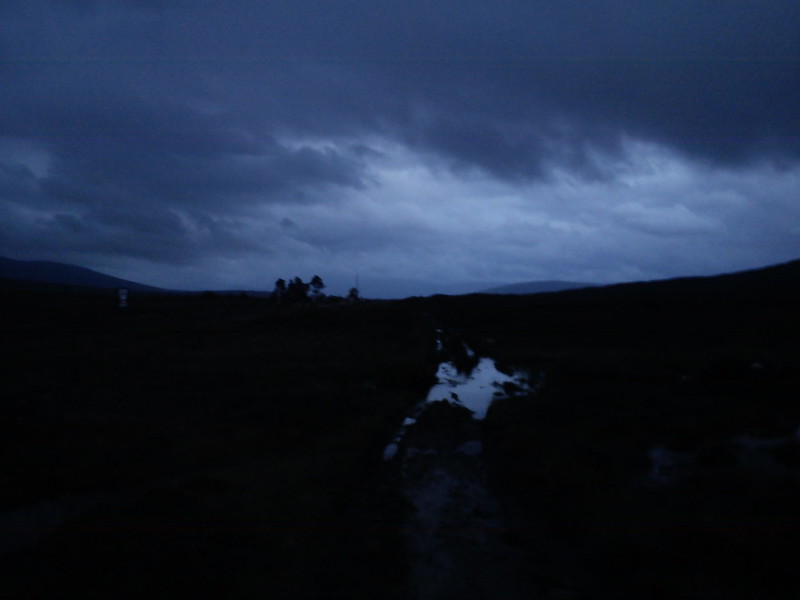
The walk back to Corrour Station took forever, as I was rather drained by this point. The Road To The Isles swung back under the railway line towards Loch Ossian so I took the boggier path alongside the railway to the station as light faded quickly.
Phew!
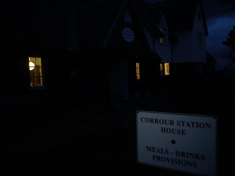
It was getting properly dark by the time I reached the station restaurant. I grabbed a Coke and asked to use their landline to call my parents, as my signal was gubbed ever since I arrived on Rannoch Moor. I played down the intensity of the walk in my phone call.
Well that's one way of putting it.
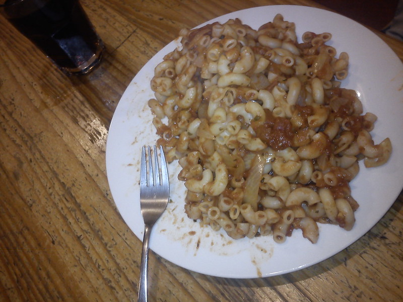
I trudged the final mile along the access road from the station to the youth hostel (well it sort of is a road and isn't a road: you certainly can't drive to Corrour, which must make it unique among British stations). Dinner was just pasta and sauce, as I didn't want to bring chicken fillet with me with no guarantee of a fridge, but in the circumstances it was still one of my most enjoyable dinners in a long time.
I saw the other guy again (the owner-who-might-actually-have-been-a-guest). He asked why I had climbed such a random hill as Creag Ghuanach, and I couldn't properly answer him. I think he thought I was slightly mad.
It was a day I'll never forget, but not one I'll ever want to repeat. I've since had a look at the 1:25,000 OS map and Creag Ghuanach appears to have two tiny outcrops that both cross the 620m contour, so I'm still not actually sure if I've summited yet. I think it should be kicked into the long grass until I've finished the Munros (if that ever happens?), but one thing's for sure. If I ever return to the dramatic little mountain at the foot of Loch Treig, I won't be re-attempting the sporting ascent route...