free to be able to rate and comment on reports (as well as access 1:25000 mapping).
I had read many stories and reports about the conditions to be met whilst bagging the summit of Yockenthwaite Moor, none of them good, most of them horrendous. Tales of acres of boggy ground interspersed by deep, wet peat hags that needed a fireman's ladder to get back out of them so it was with the thoughts and visions of bog snorkelling that we prepared ourselves for this walk. We have had some fairly wet weather lately, so we thought - E and I - that we would wait until there had been a few days of dry weather that may help to lessen the struggle across the moor. That day had arrived.
We arrived at the old village of Hubberholme with its couple or three farm houses, cottages, and an old inn called The George. We drove across the bridge to park up by the side of the River Wharfe at SD926782 where there was a family donning their wet suits ready for some fun in the river, apart from them and the odd farmer roaming about we were on our own.
Once dolled up and ready for the walk we walked towards the old Norman church of St Michael and All Angels…
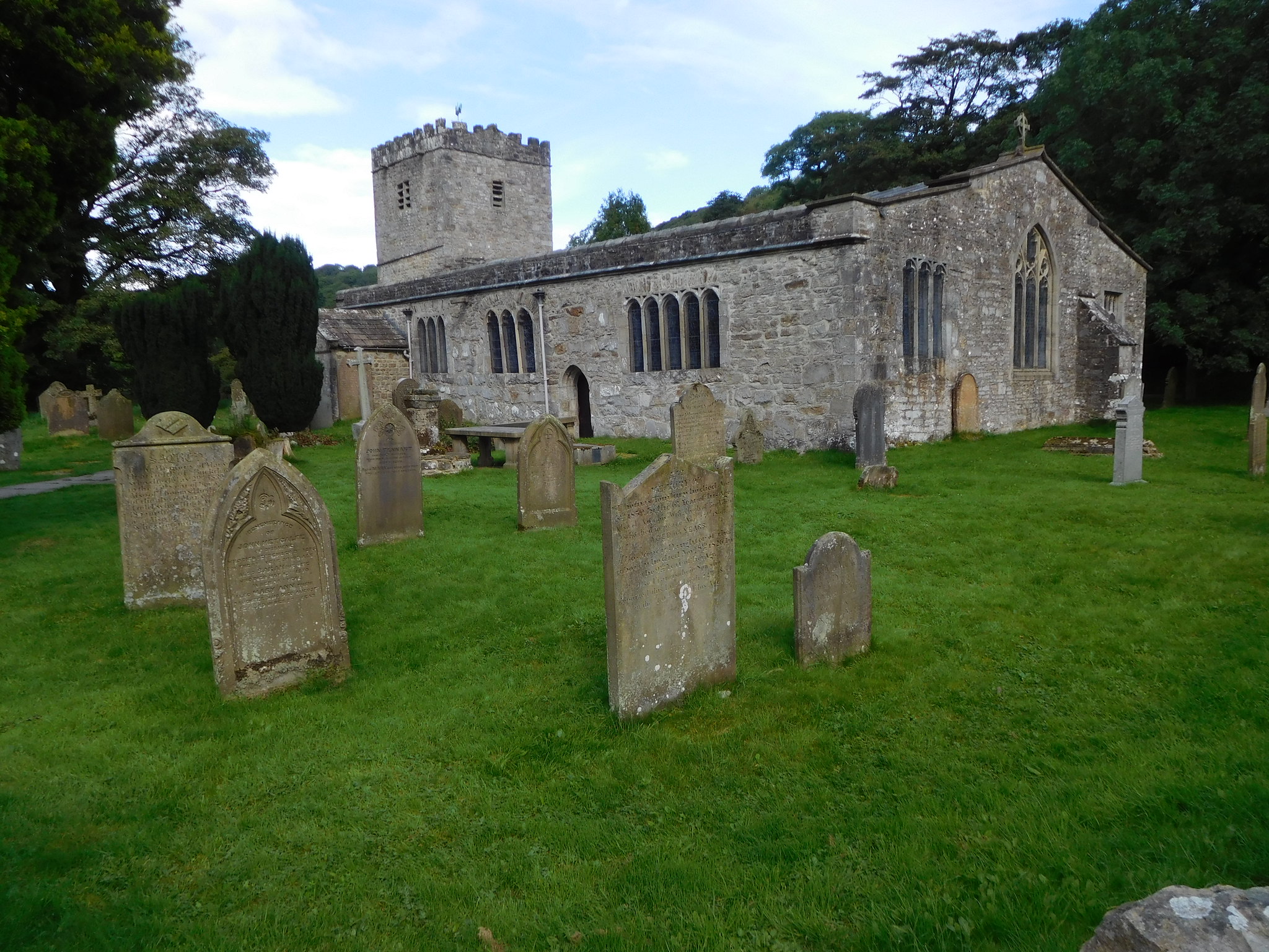 2 - St Michael and All Angels Church at Hubberholme
 and passed through the wide metal farm gate to pass on to a wide track that is well stoned up and steep in its early stages but soon getting easier as it levels out and passes through the green pastures of the nearby farms.
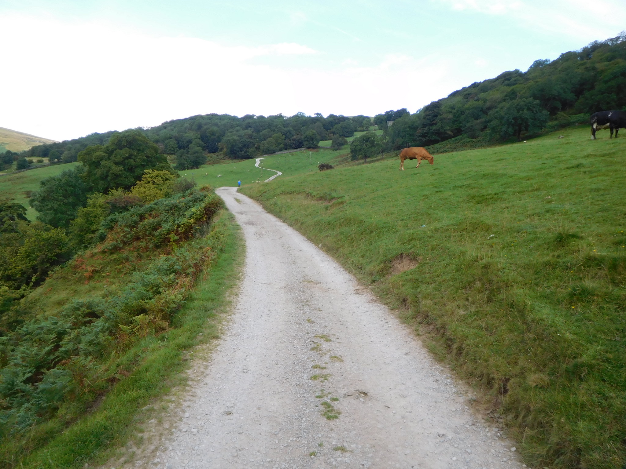 5 - A gentle walk through the fields
The walking was pleasant and warm despite the lack of sun just now as the clouds were still covering the ground around us, but further afield the sun must have been making a presence as there were patches of blue scattered about. As we started the incline leading up to Scar House we looked back to see a short stretch of Wharfedale as it turned the corner over to the southeast.
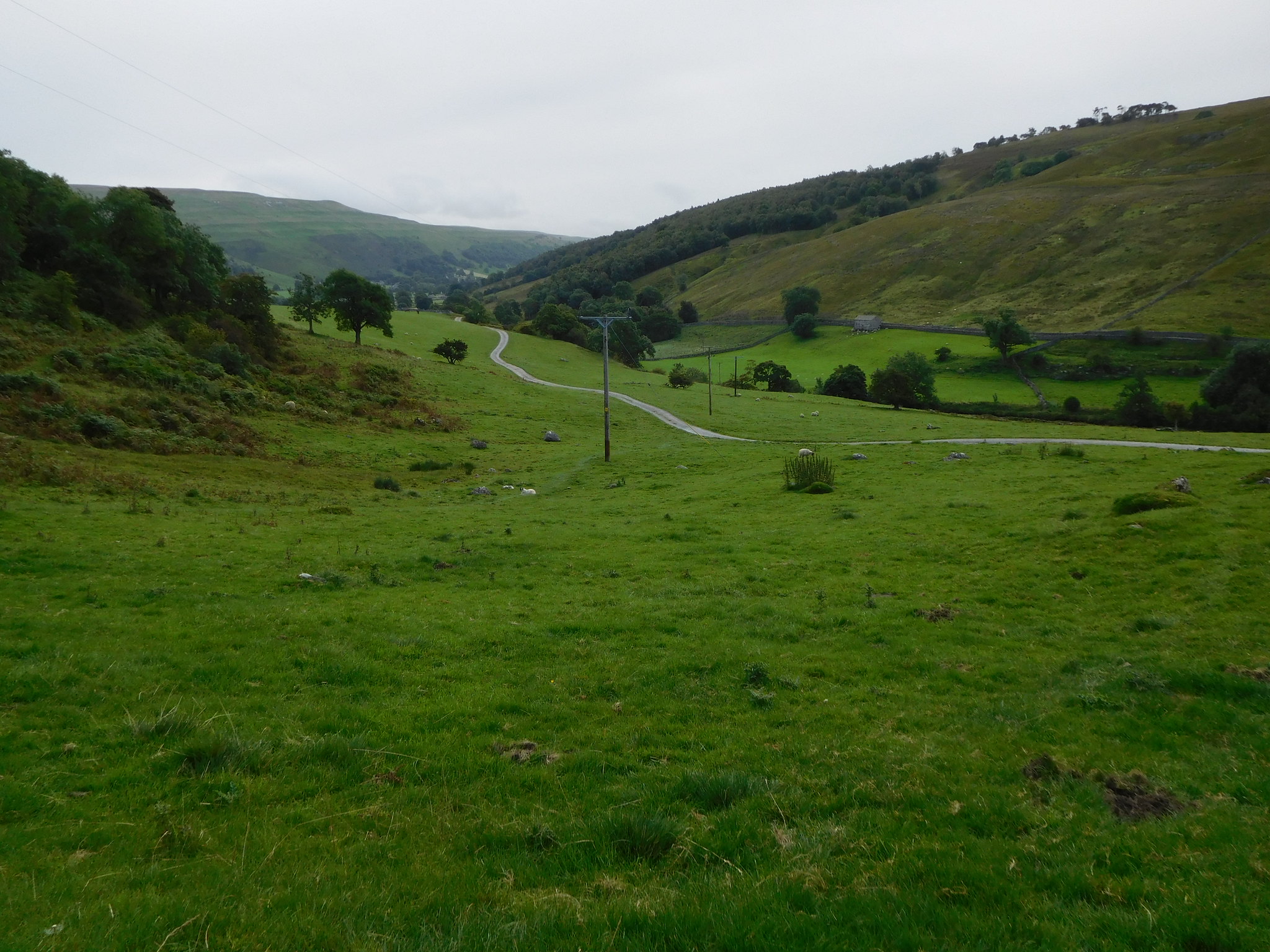 6 - A look back to Hubberholme
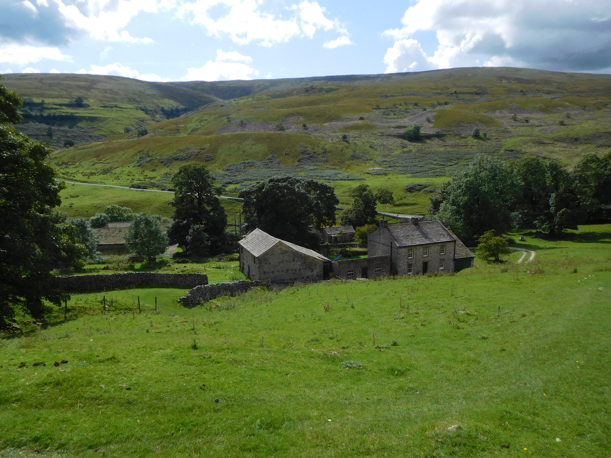
Before too many minutes we had arrived at the National trust property of Scar House.
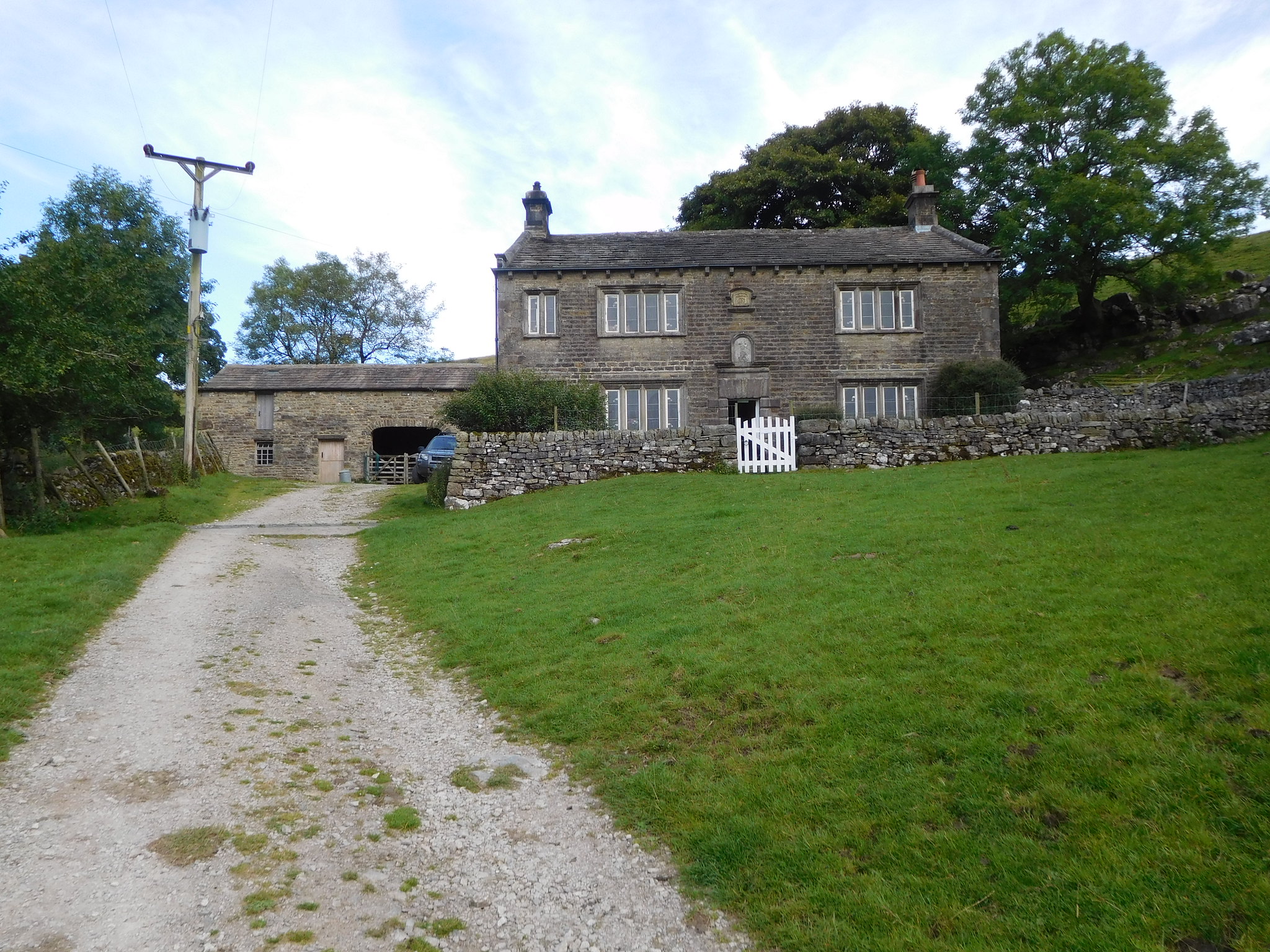 8 - Scar House
 Scar House is situated on the hill overlooking Hubberholme and is often passed by ramblers on their way to Cray. The current buildings is of Victorian origin, however a previous house was visited by George Fox in 1652 while he was trying to convert Seekers to Quakers. At the time the house was owned by James Tennant who was later executed in York for religious reasons. The house became the first piece of land owned by the Quakers and contains a Quaker burial ground, although there are no headstones.
Just behind Scar House there is a lane that is partly paved at the start of it whilst as it rises up to the open fields it becomes more of a natural limestone bed that is easy to follow up to the finger post…
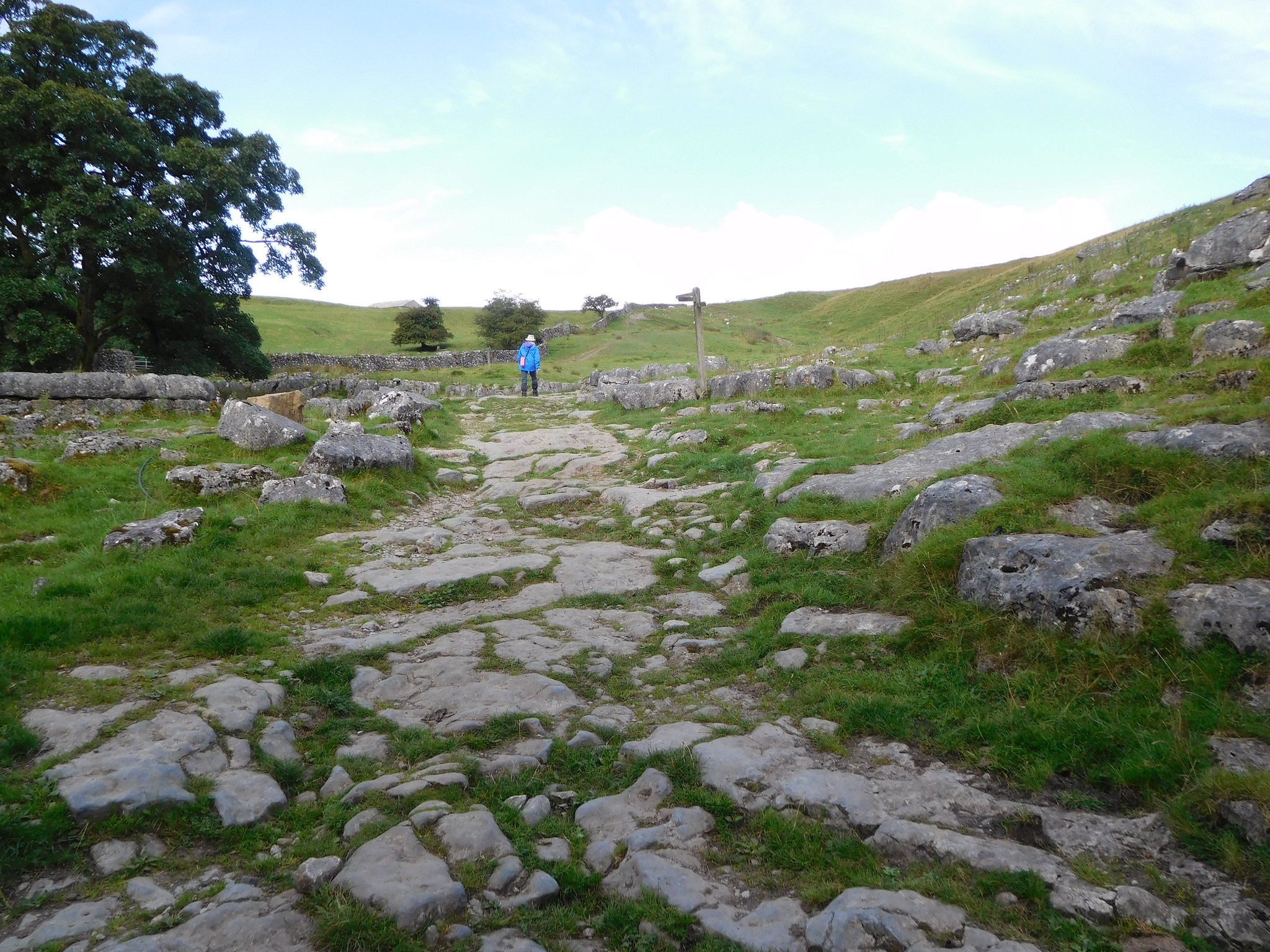 10 - Worn limestone pavement marks the way
 from where the path now heads off to a gate stile in a wall, across a field to then enter Rais Wood.
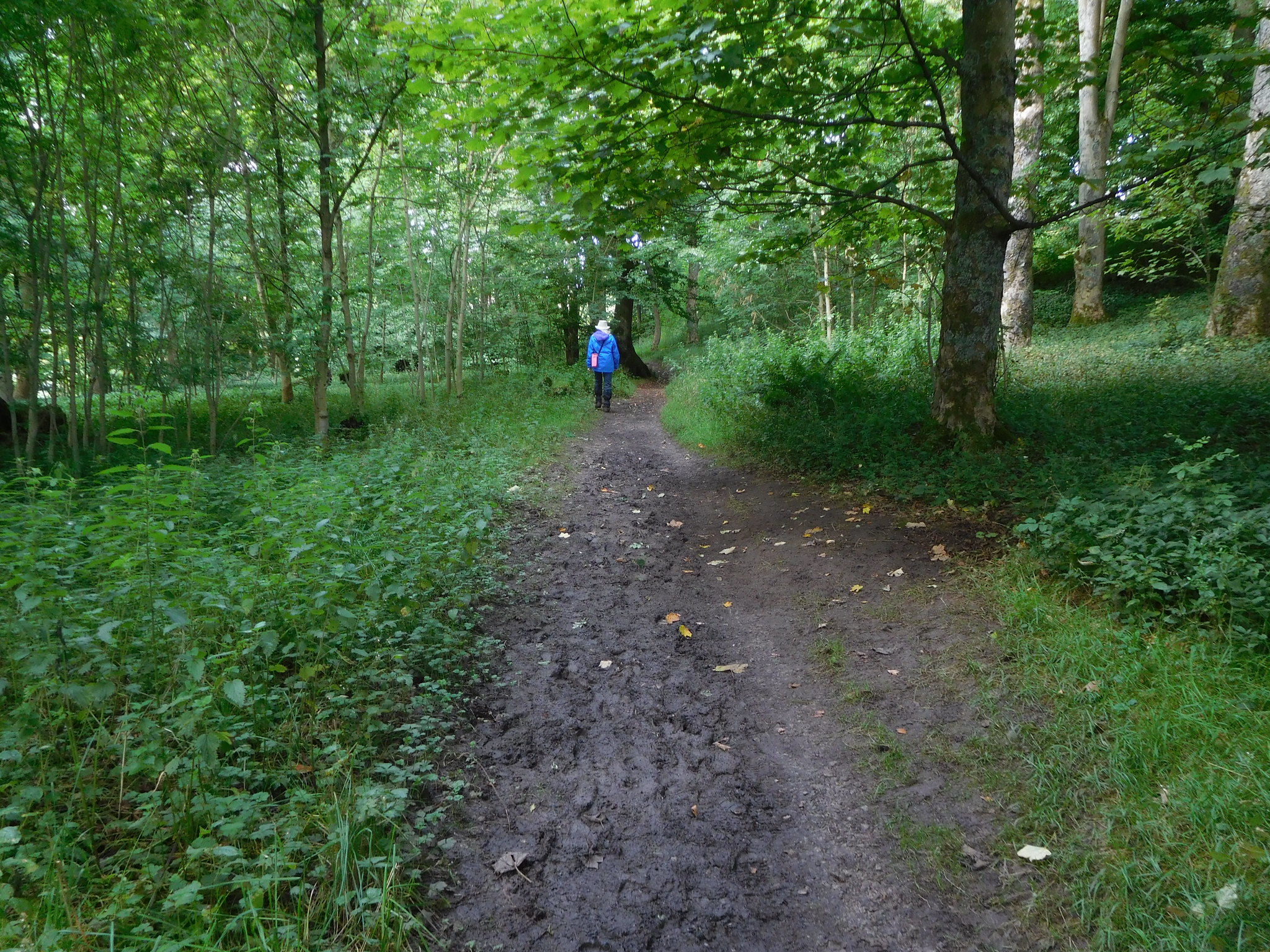 15 - Walking through Rais Wood
 By this time it had gotten a lot warmer as the sun was now blessing us with its golden rays and as we entered the wood it was to meet a nice cool environment for a short while. It's a short but welcome walk through the trees and although it is a pleasant walk today it must be quite a colourful one when done in spring. Arriving at the end of the woodland path we were met with a stone, arched footbridge that allows passage over the deep and narrow trough of Strans Gill with its lack of water giving testament to the recent dry weather.
Immediately after crossing the bridge we turned right - north - to climb up the open and pathless fellside passing the ruins of a stone building…
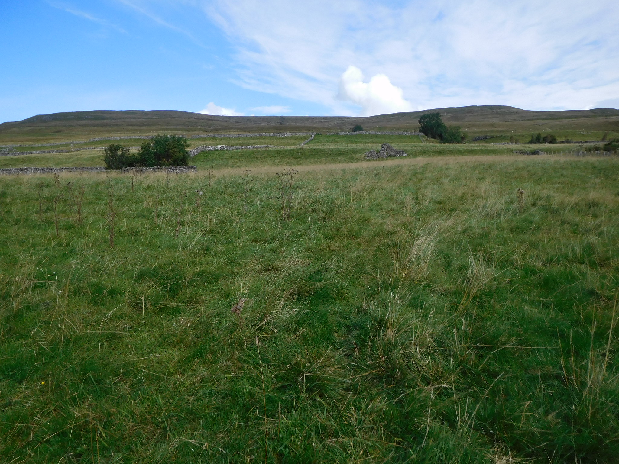 17 - Pathless on the way to Yockenthwaite Moor on the left
 as we followed the fence ever upwards along the easy slopes to arrive at a wall gate from where the going now got a little steeper.
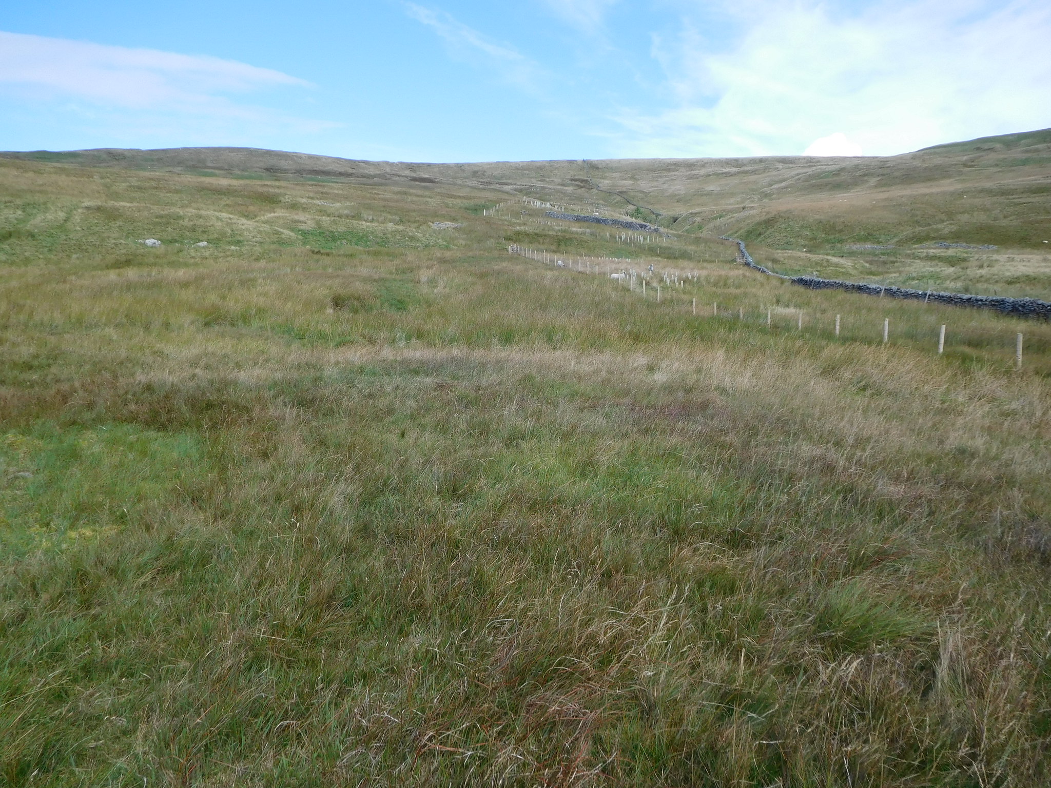
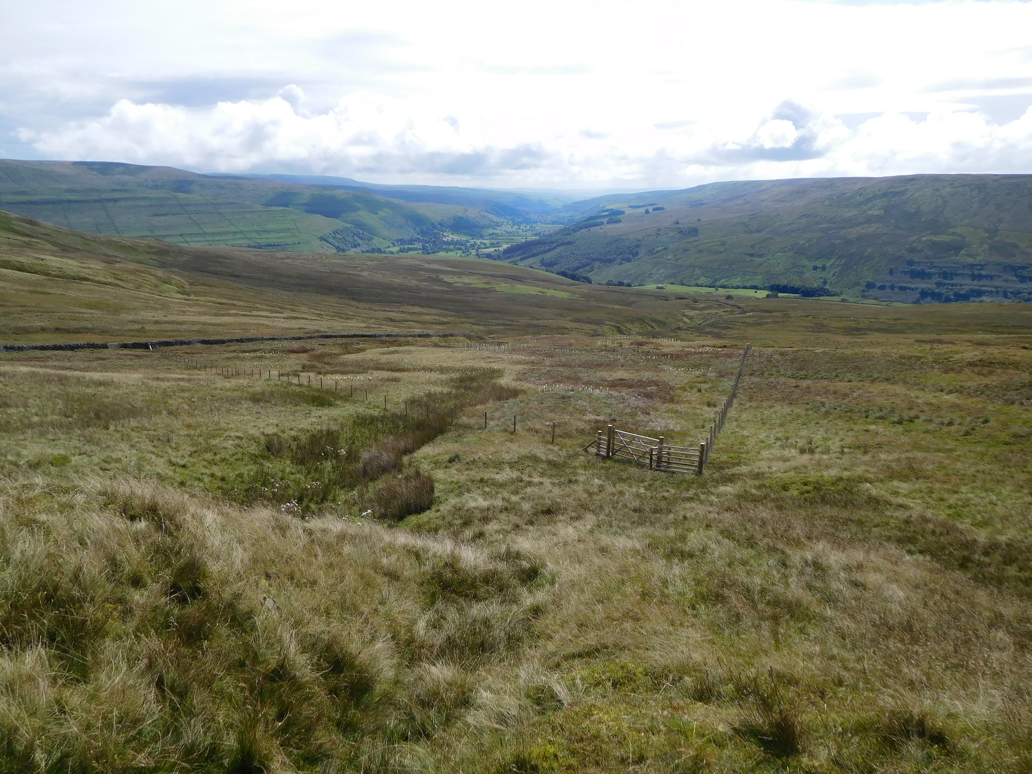
From the wall we could see some faint quad bike tracks that we used as we continued to walk alongside the recently erected fence that has been put up about 20 metres away from the old stone wall that runs alongside Strans Gill and runs up the fell to about the 500 metre contour.
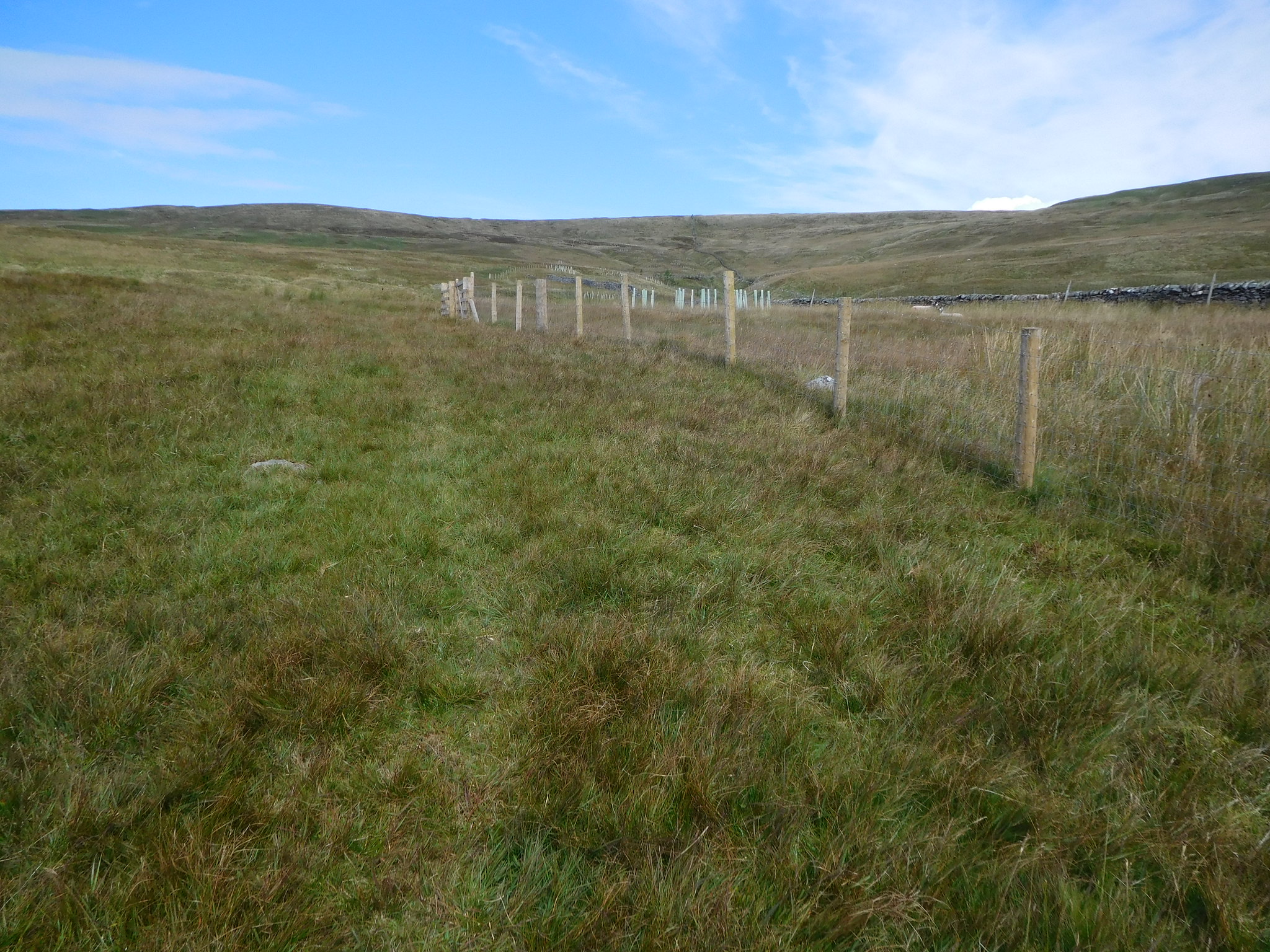 21 - We followed some faint quad bike tracks for a while
It has then been split into smaller paddocks all accessible by separate gates in which there was some grazing sheep and also some newly planted saplings. We suspect that the sheep had stormed the fence to enter the paddocks that look like they could be new areas set out for forestation of these fells alongside the gill. We simply walked alongside the fence until it turned off to the east towards Strans Gill in its upper reaches.
 22 - Following Strans Gill for a while
 Although the fellside is not too steep the heat from the sun was wearing us down and the glory beads were in full flow as we arrived at the fence corner from where we would leave it to make our way just west of north to gain the summit.
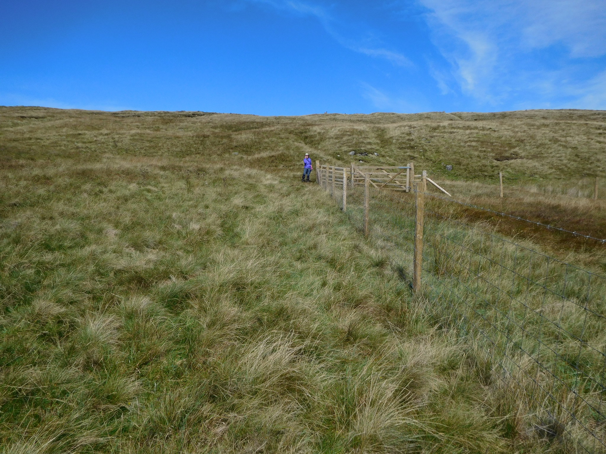 23 - We left the fence and wall at this point
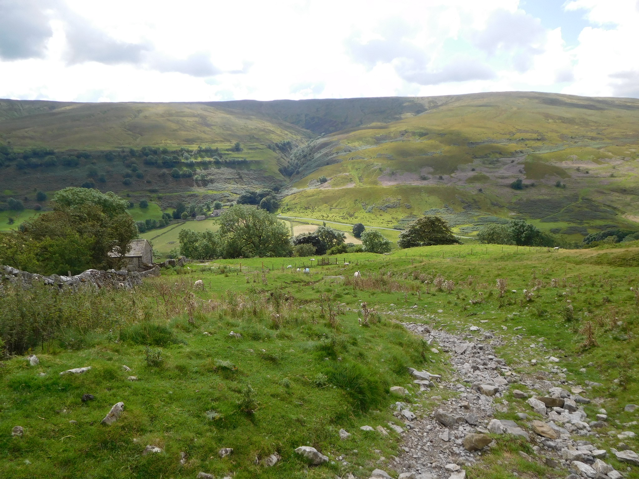
 At this point we were at the bottom of a fairly short but steep grassy bank and after getting part way up it a look back gave us a good view into Wharfedale.
 24 - Across the moors towards Wharfedale
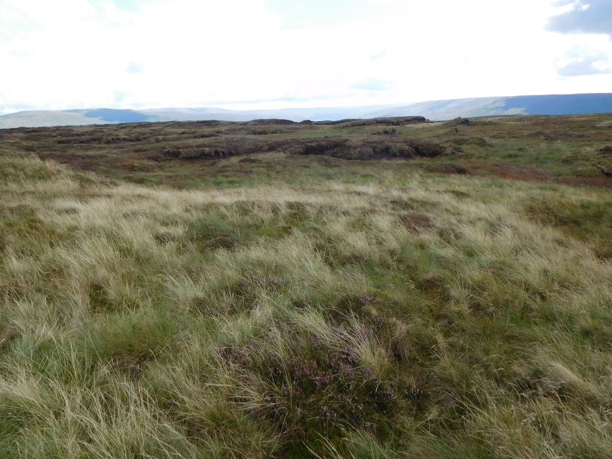
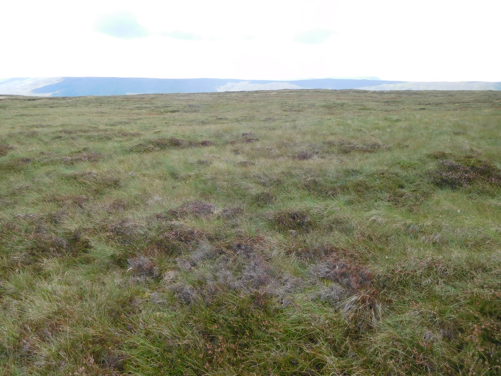
 So far the threatened and read about peat hags had failed to appear but as we topped the rise we saw our first one directly on the edge of the bank just as the ground eased off to a gentle slope across the moors. We had arrived at purgatory, or so I thought, but on climbing past this first one all we could see was a wide grass covered landscape that seemed to go on forever. As we began to make our way along to the as yet hidden summit trig column we were surprised at how easy the walking was. Okay, there are some wet patches to walk around but nowhere was difficult, no peat hags or masses of moss ridden and boggy ground, and from stepping onto the moor edge to arriving at the summit took us around 15 minutes of steady going. On our way across the moor we espied an old stone building over to our west, only a small affair and one that we couldn't identify from where were just then.
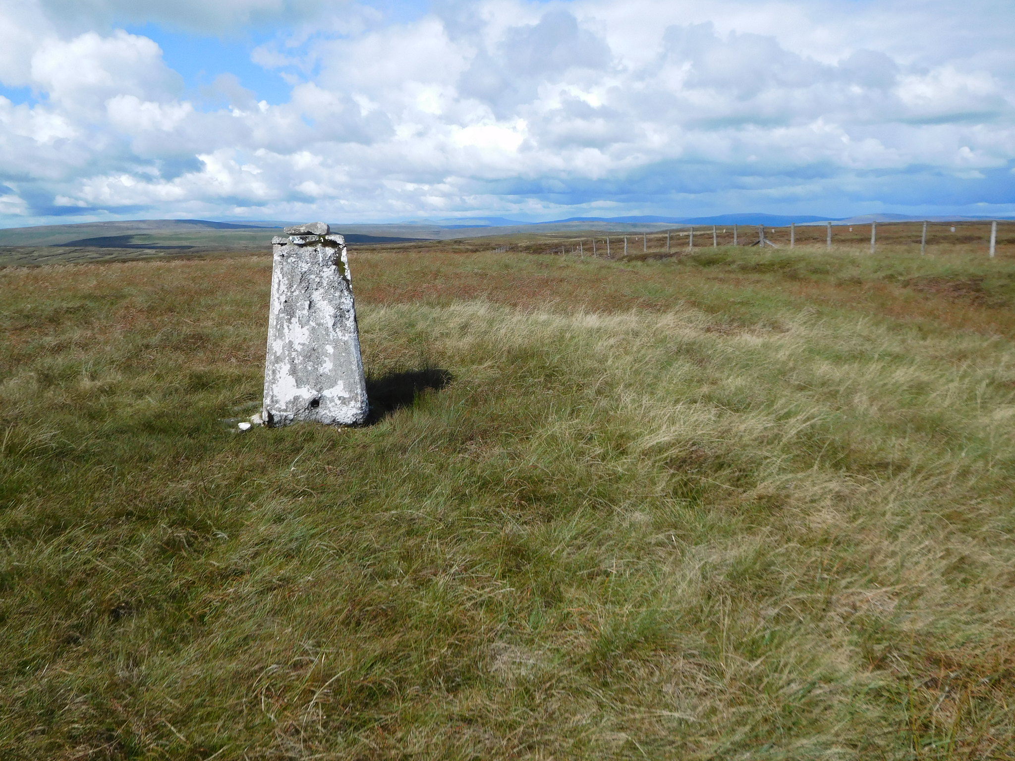
Very soon after topping the rise the white trig column appeared on the skyline directly ahead.
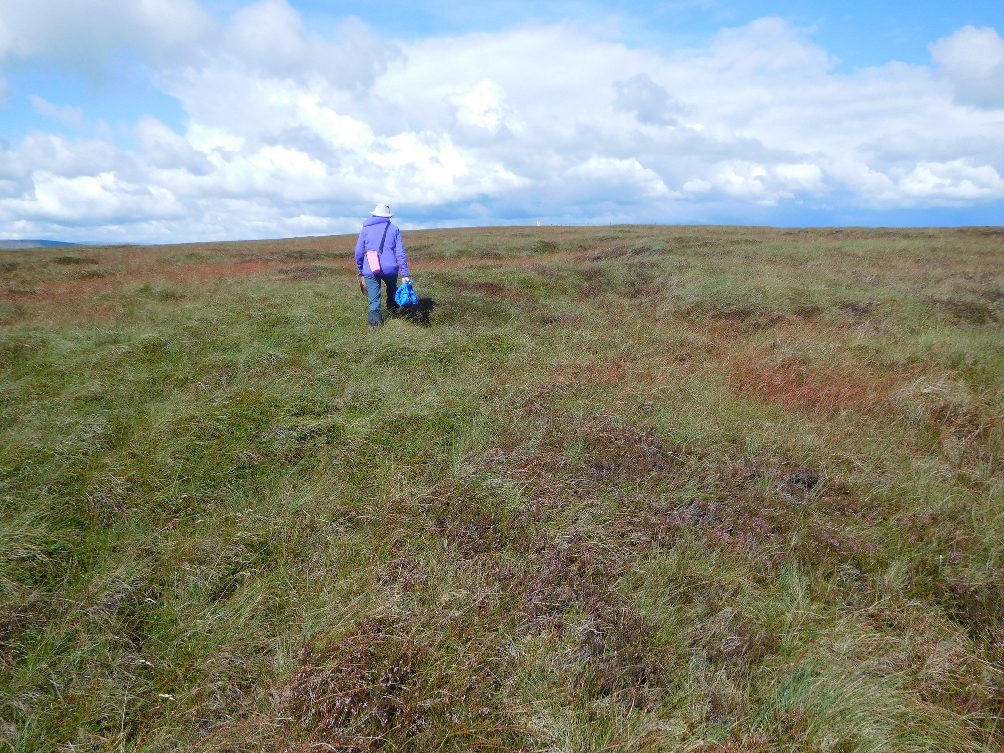 28 - Elizabeth on her way to the summit trig point
 The moor is vast in size and only the tops of the highest fells around us could be seen from the summit. Buckden Pike to the east, Plover Hill, Pen-y-ghent, Ingleborough over to the west. Dodd Fell Hill and Lovely Seat to the north and we could also see the familiar profile of Wild Boar Fell in the far distance.
 29 - A view east from Yockenthwaite Moor summit
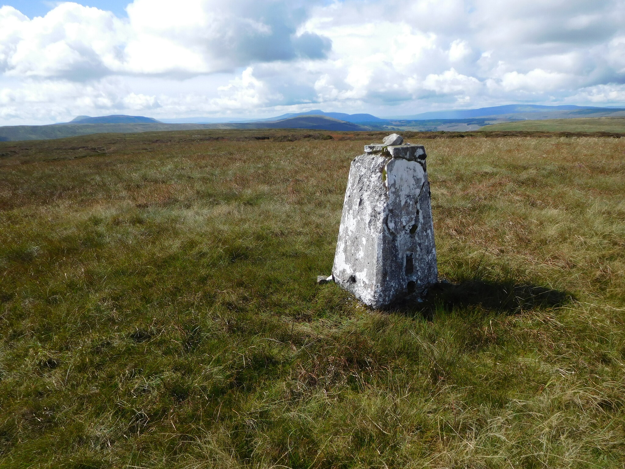 30 - The view southwest from Yockenthwaite Moor
We had arrived at the summit bone dry and decided that it was time to take a break whilst basking in the sunshine and it seemed quite strange to be sitting by the trig column in glorious sunshine after reading and hearing about the not so pleasant charms of this moor.
Once the rest and feasting was over and done with we set off across the moor once again, now moving in a more or less southerly direction as I wanted to have a closer look at the old building we spotted on our way up. Once again the going was good with just a few peat hags that were easily got around and caused us no problems at all. There is a grough that we followed for part of our way although we didn't actually walk along it, more along the top edge of it but it was dry and would have made a perfectly good escape from the summit. It actually leads and terminates just before the old stone building is reached.
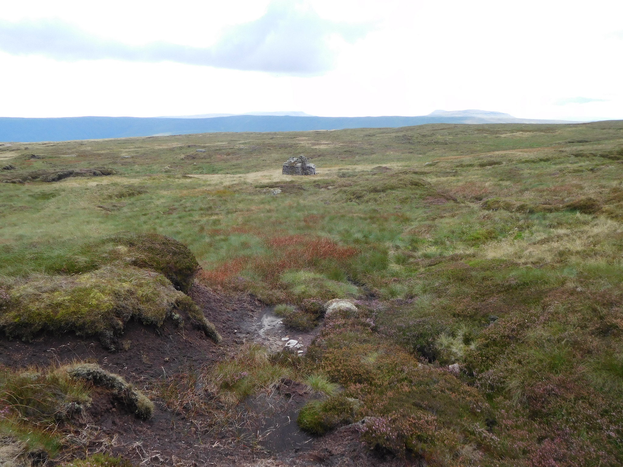 32 - An old stone building to the south
 The building is a two roomed affair with the larger room having a fireplace complete with chimney whilst the smaller one would have to depend on the heat passing through the adjoining wall for a supply of heat. Maybe it was a shepherd's shelter that was kept stocked up with kindling, food and drink and although small would have been a welcome retreat in bad weather on this open moorland.
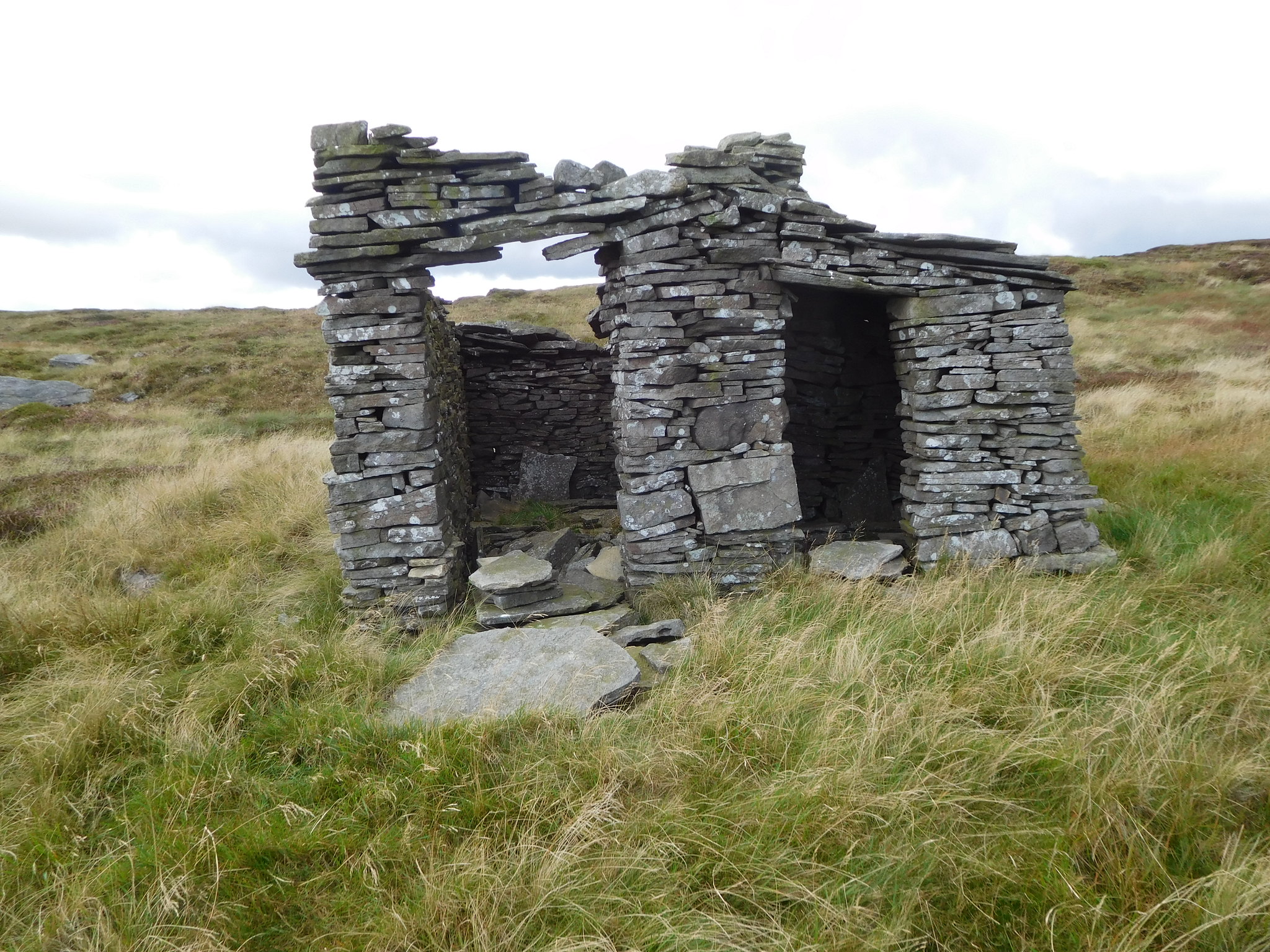 35 - Des-res with two rooms and a chimney
 Leaving the hut behind we were now passing over some rougher ground with a small area of hags to pass through and although once again there was no wet ground it did slow our progress somewhat as we worked our way around them.
 36 - South of the hut is a bit rougher for a while
 We were soon passed the hags and as we descended the ground got steadily better underfoot as we were once again walking over fairly level ground that was covered in rough moor grass.
 38 - The lower we got the easier the walking
 Once we had dropped over the edge of the moor the views opened up again with a look into the sunlit fields of Langstrothdale to the west.
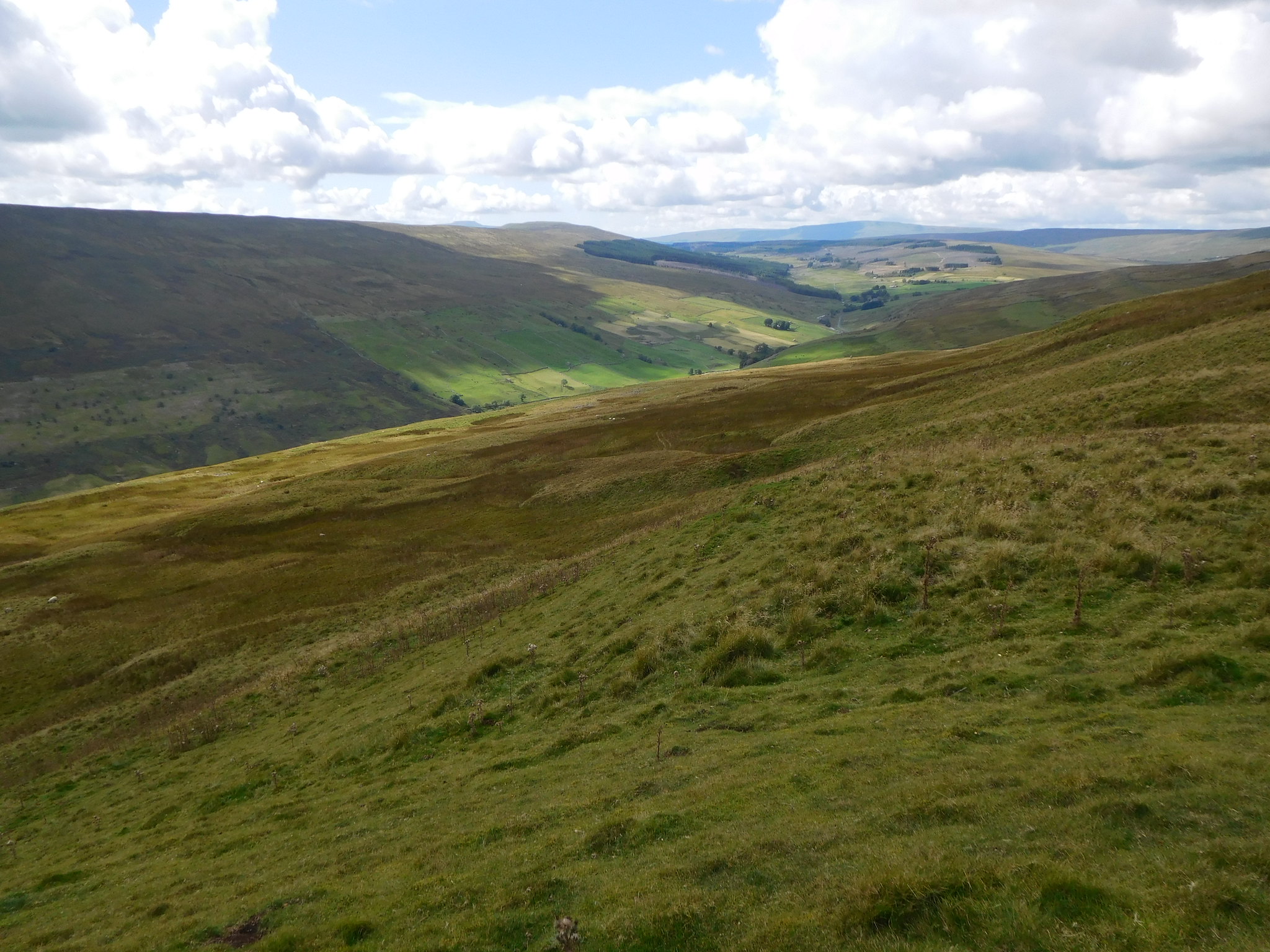 42 - West towards Langstrothdale
 Oh! The beauty of these little dales with their emerald green fields and tree lined gills.
We made good progress down the fellside and soon arrived at a long and unnamed limestone scar that is come upon quite unexpectedly as the top edge seemed to blend in with the lower ground in front of it. If this wasn't known or looked out for a nasty accident could occur for some fast moving person.
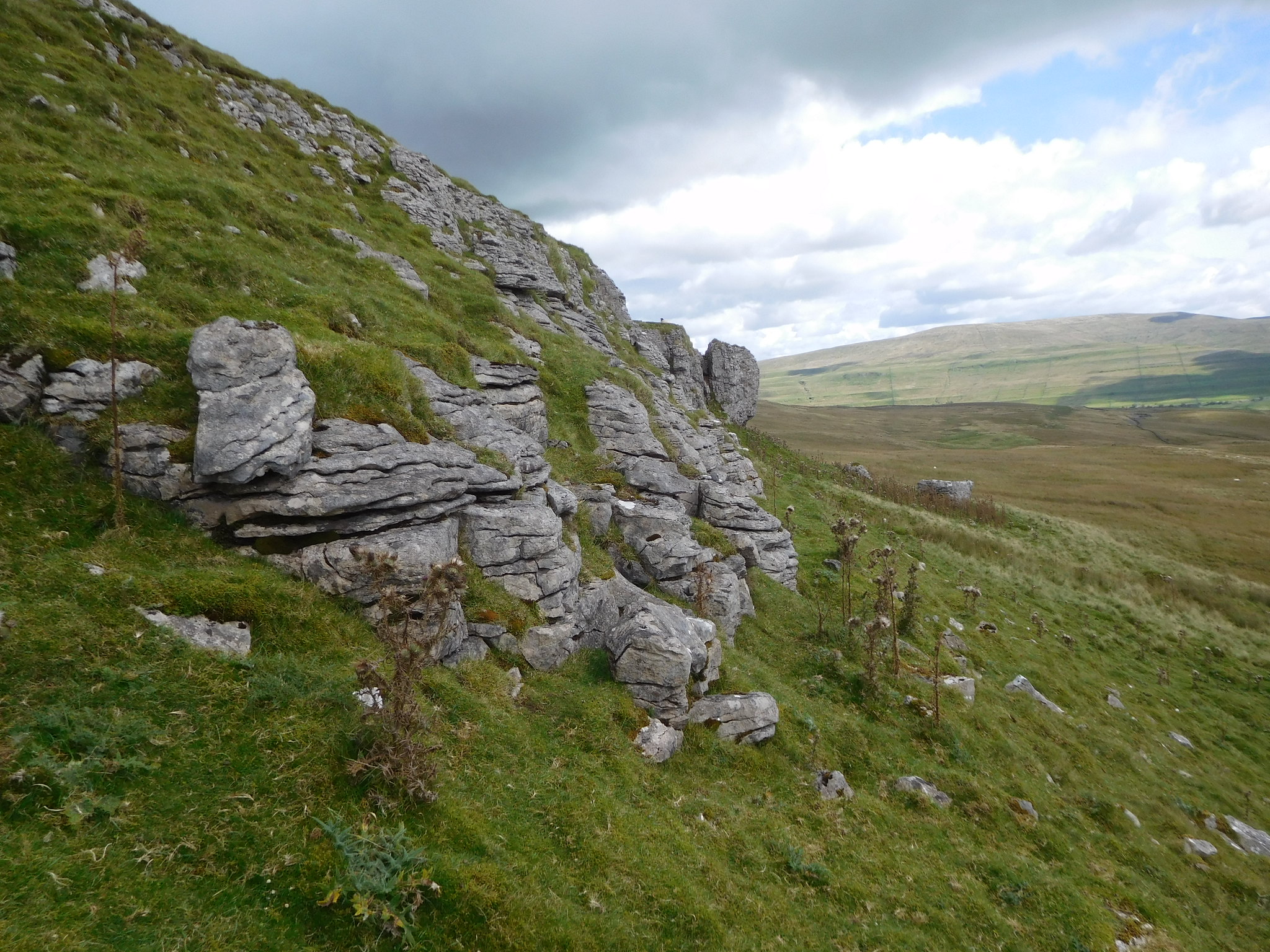 44 - Limestone scar with Buckden Pike way back
 We worked our way to the end of the scar and continued to descend through more rough grassland until we reached the corner of a wall and a track that took us quickly down to pass an old stone barn. We hadn't far to go now and from the track we had a good view of Horse Head and Birks Fell in front of us, a hill that I have yet to climb, with the great bowl at the head of the tree lined Hagg Beck sat between the two hills.
 47 - Lane back to Yockenthwaite
 From the old barn it wasn't very far to Top Farm…
 50 - Top Farm - Yockenthwaite
 and the hamlet of Yockenthwaite from where we had a 1½ mile - 2.5km - walk through hay meadows alongside the peaceful running River Wharfe back to Hubberholme.
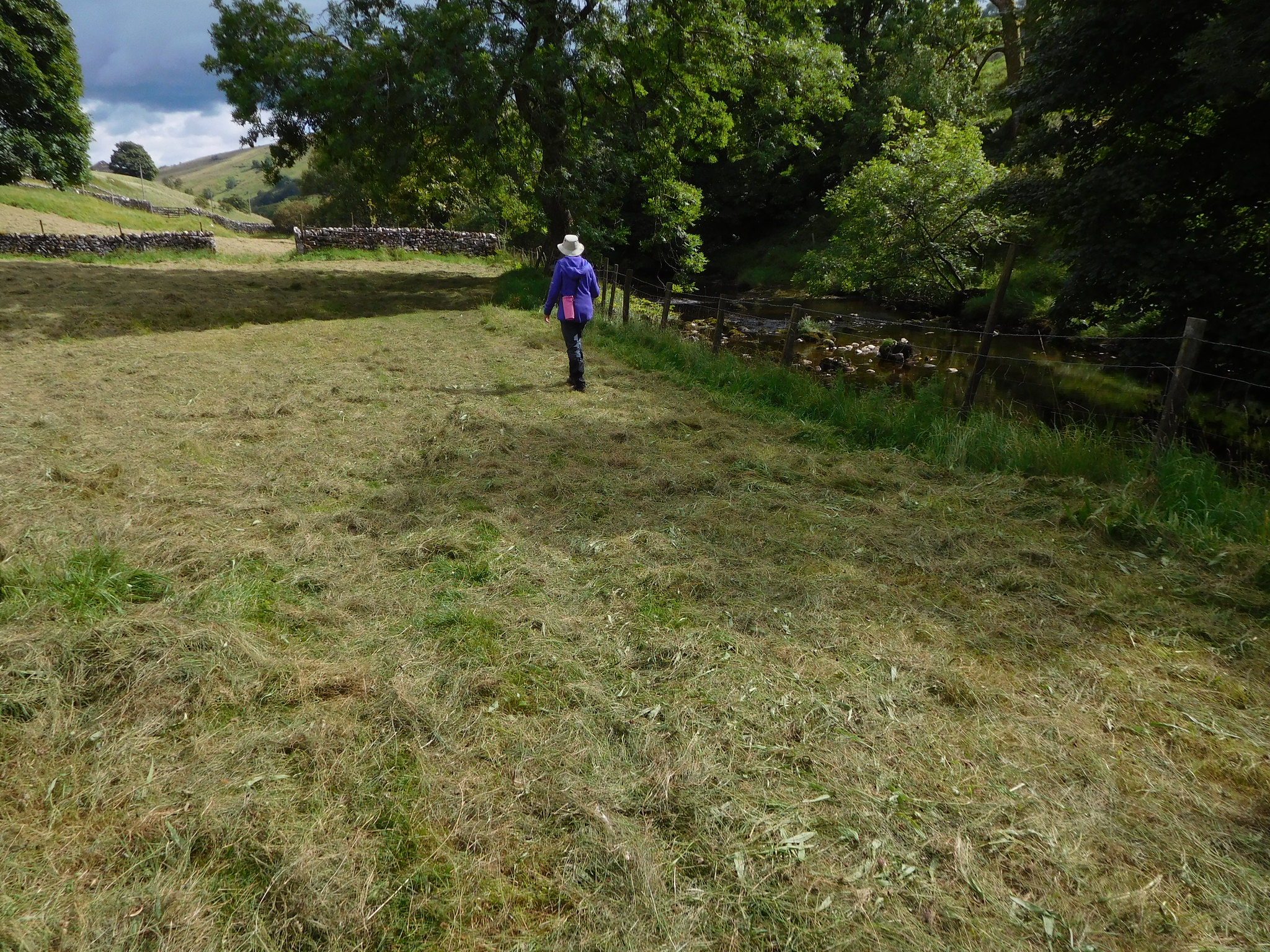 53 - A riverside walk through the hay meadows
In spite of this walk being a short one it has been one of our best on the moors so far. Warm, dry conditions, and despite the lack of paths on the fells easy walking and mostly in sunshine that made it hot going at times. The walk along the river was easy and peaceful with the smell of the hay sweet in our nostrils. We saw no one else apart from a couple who was walking along the river bank towards us. The farmers were friendly, even the ones who were shaking their hay up as we walked by them gave us a wave.
