free to be able to rate and comment on reports (as well as access 1:25000 mapping).
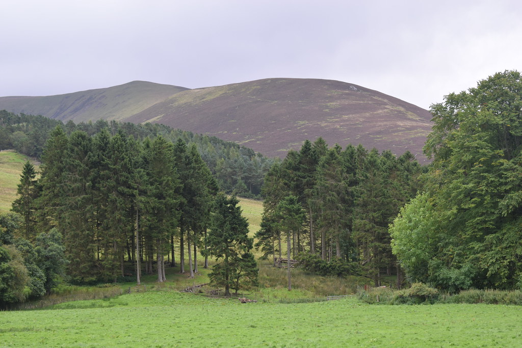
Time for another Sunday walk and we decided to keep it local and head down to climb Culter Fell which we had nice views of earlier in the year from the neighbouring Dungavel Hill and Lamington Hill.
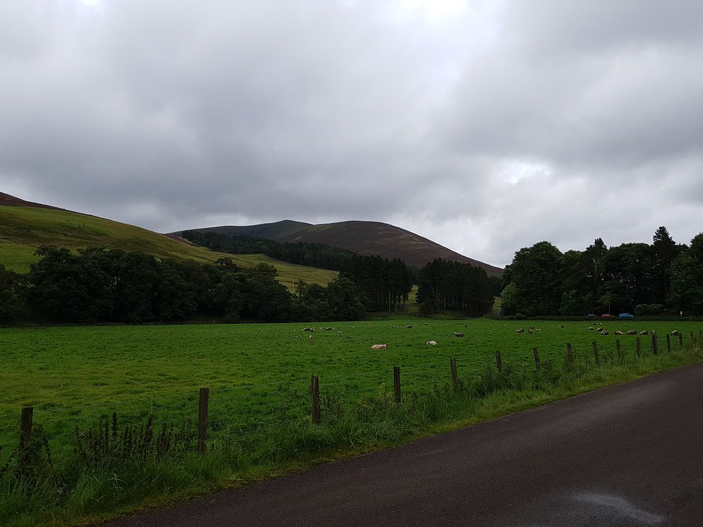
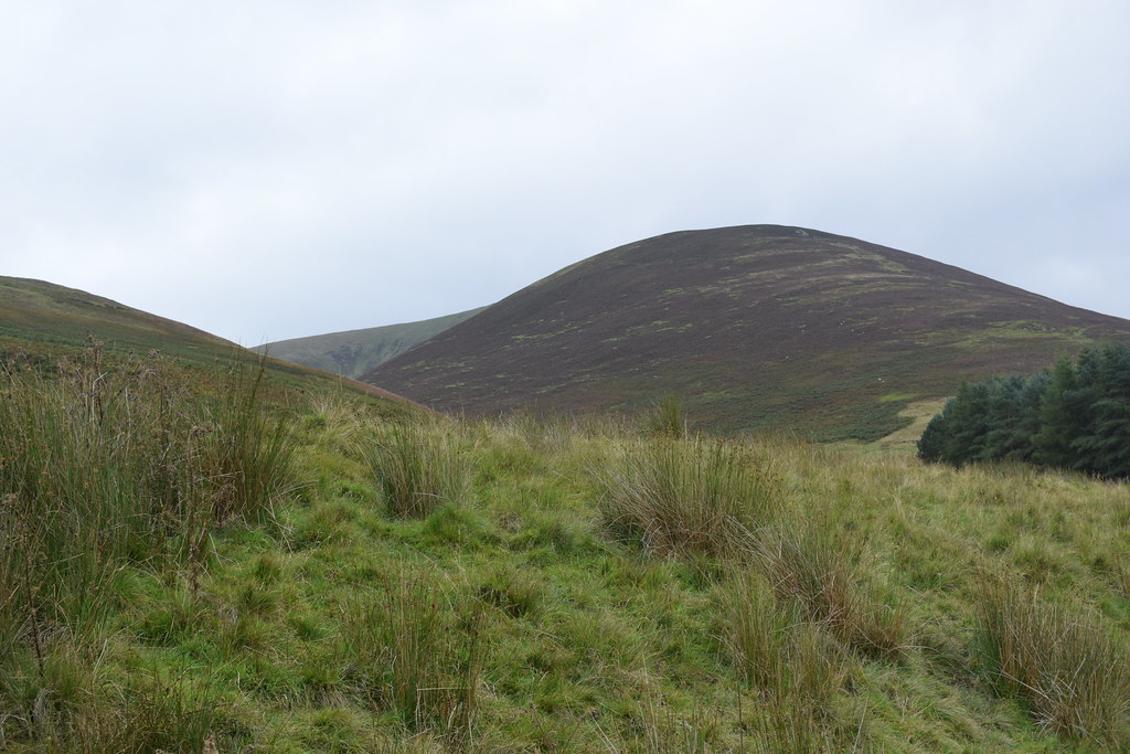
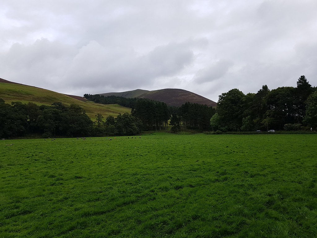
We reached Culterallers Farm and parked up, suited and booted then set off. Target dead ahead, except it has a retiring summit so the pointy bit is already noted as a false summit...
 20170917_125516
 by
Chris Mac, on Flickr
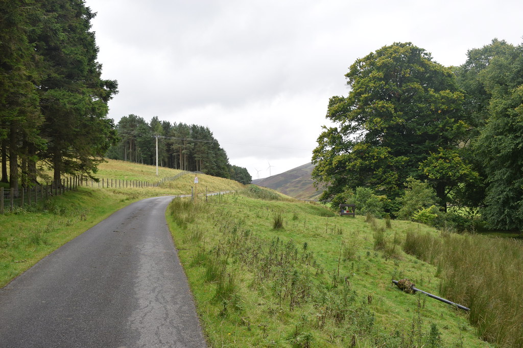
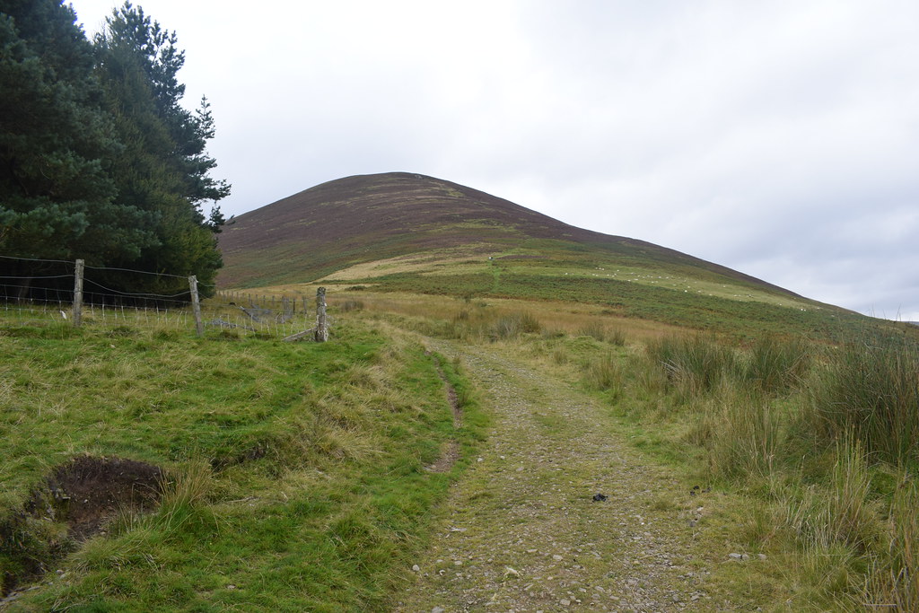
We'll take the standard route up Fell Shin on the right:
 20170917_130301 DSC_3369
 by
Chris Mac, on Flickr
We crossed the cattle grid... one of us successfully... the other, not so much!
 20170917_130700 DSC_3371
 by
Chris Mac, on Flickr
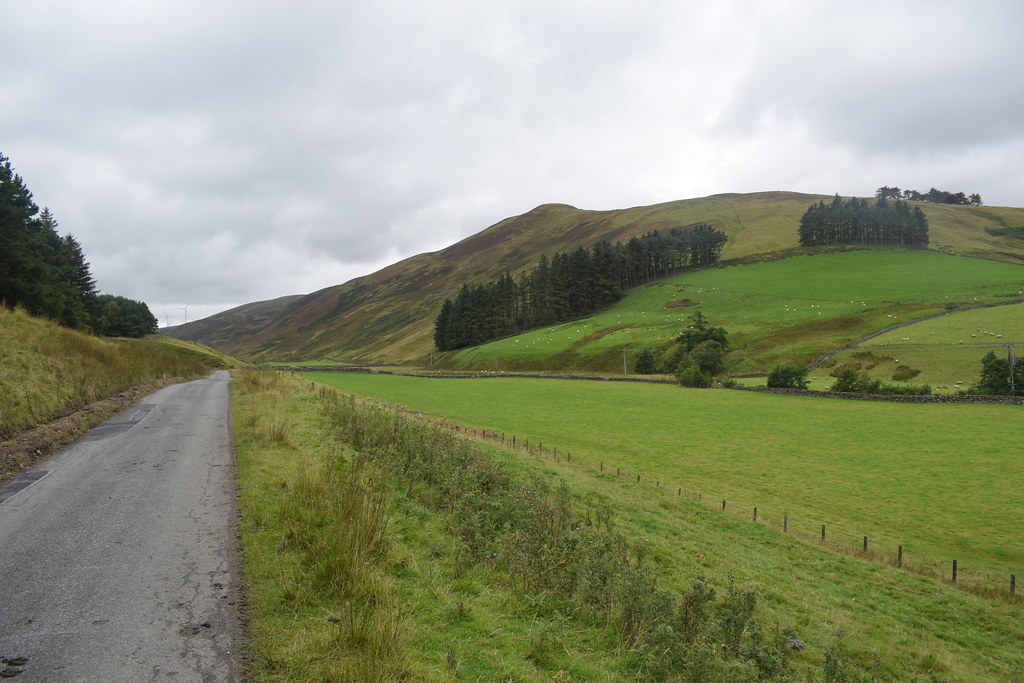
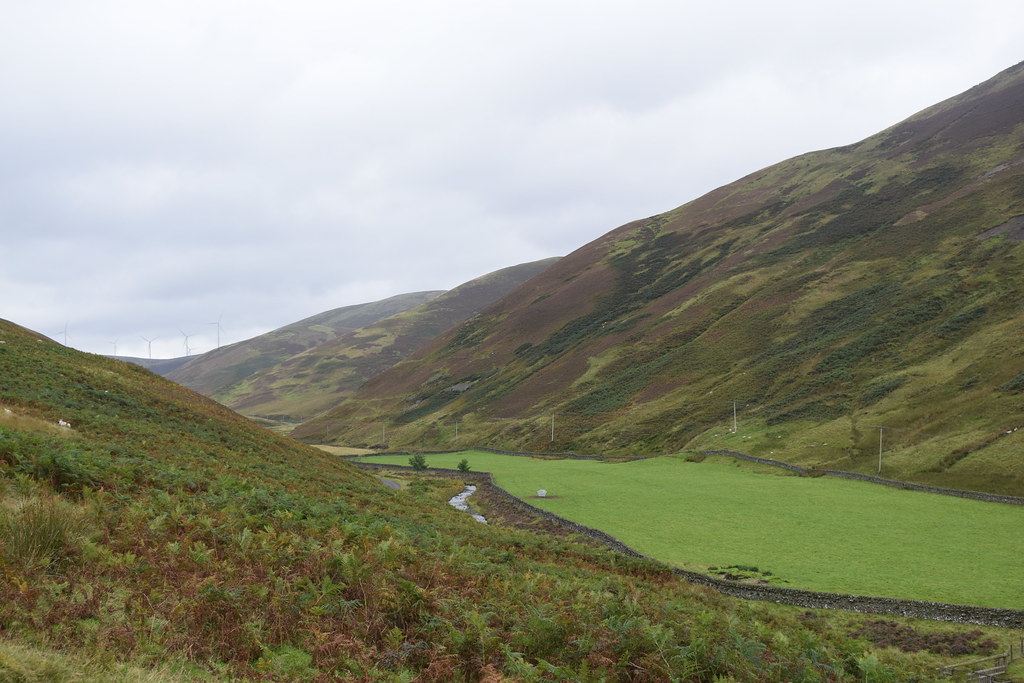
Ward Law on the right, child of Gathersnow Hill beyond:
 20170917_130900 DSC_3372
 by
Chris Mac, on Flickr
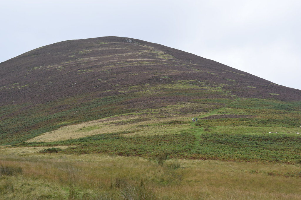
Looks like a steady climb from here...
 20170917_131100 DSC_3375
 by
Chris Mac, on Flickr
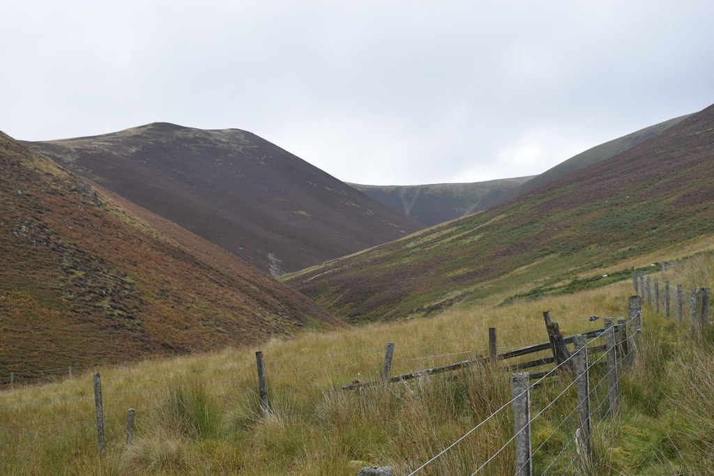
The road continues while a track straight ahead goes up hill, veer left then start the ascent:
 20170917_131300 DSC_3376
 by
Chris Mac, on Flickr
At this point I was reminded of climbing Carn a'Chlamain last year, it's a bit like a mini-Glen Tilt, this would be the side of Beinn a'Ghlo:
 20170917_131301 DSC_3377
 by
Chris Mac, on Flickr
The main ascent, well the view should open up quickly!
 20170917_131302 DSC_3378
 by
Chris Mac, on Flickr
Yet again, Culter Fell (pronounced Cooter "back part of the country" or "safe place for cows") reminds me of Glen Tilt:
 20170917_131501 DSC_3382
 by
Chris Mac, on Flickr
The path is decent if a little boggy:
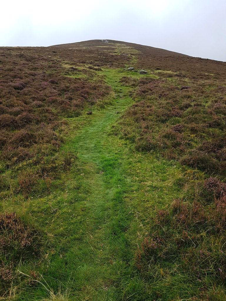 20170917_133159
 by
Chris Mac, on Flickr
Quick progress is made, after the earlier cattle grid incident meant I would be completing the walk on my own yet again...

I also had to put away the DSLR at the start of the ascent due to the drizzle, leaving just the camera phone which although it has a much smaller senser, less megapixels and a tiny lens by comparison, it handles the light very well with larger pixels and is waterproof.
A handy tip for those interested, I carry a drybag with me as I normally walk with my camera slung over my shoulder and it's well handy to bring out of my pocket at the first sign of rain and even fits the camera with large lens, to enable fast waterproofing.
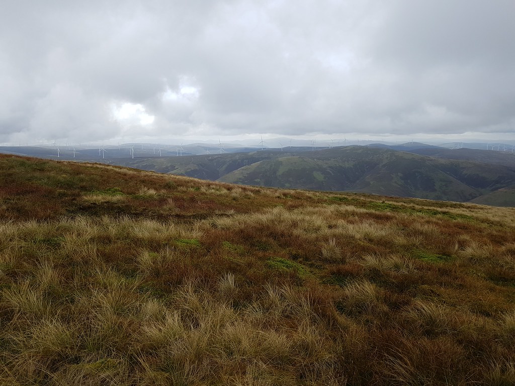
Gathersnow Hill and Hudderstone on the right:
 20170917_134323
 by
Chris Mac, on Flickr
Tinto and co. behind:
 20170917_134344
 by
Chris Mac, on Flickr
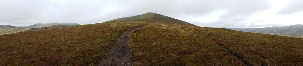
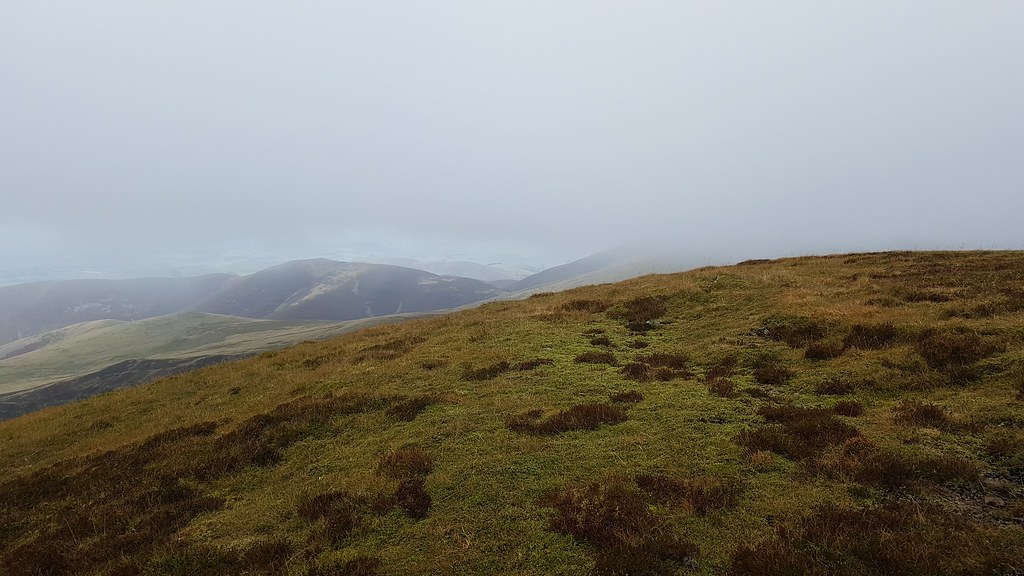
After a bit of a slog up the path beside the Grouse Butts, I soon reach the top of Fell Shin, only for the cairn top further ahead to come into view, at least the going will be easier now:
 20170917_134453
 by
Chris Mac, on Flickr
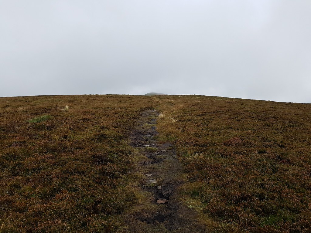
The path started getting a bit boggier again:
 20170917_134658
 by
Chris Mac, on Flickr
I cursed not remembering to take gaiters with me but it wasn't too bad:
 20170917_135121
 by
Chris Mac, on Flickr
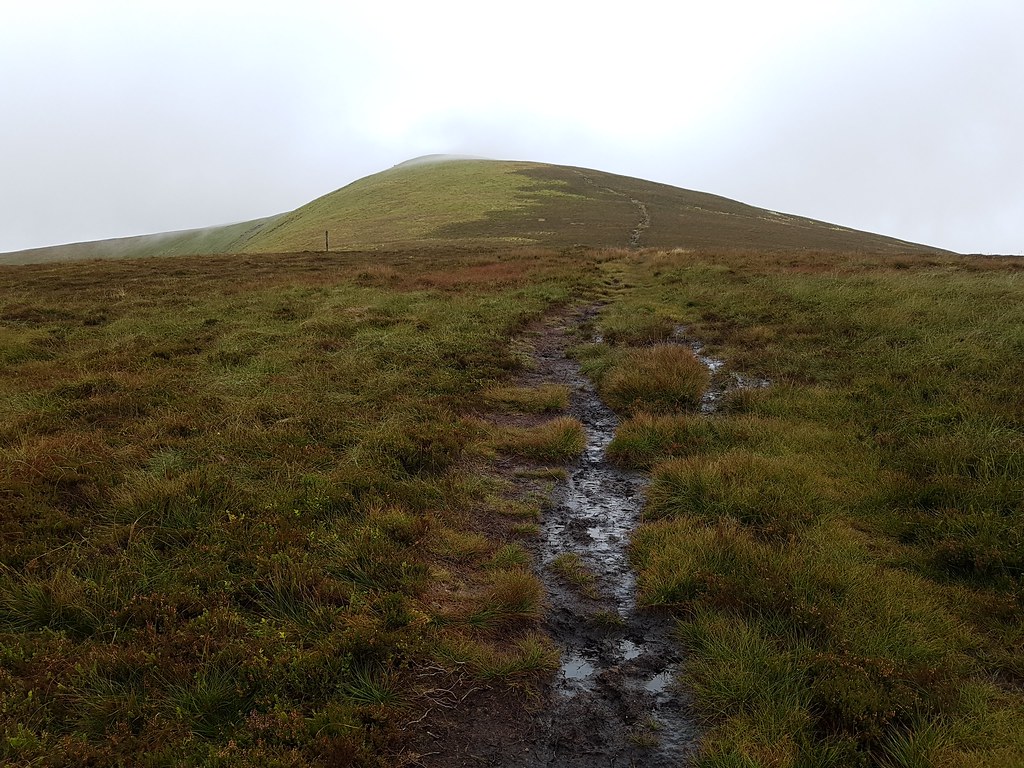
A quick trot along the path and I reach the cairn, only to see the way ahead shrouded in mist:
 20170917_135924
 by
Chris Mac, on Flickr
Head now touching the clouds...
 20170917_135927
 by
Chris Mac, on Flickr
Head in the clouds...
 20170917_135931
 by
Chris Mac, on Flickr
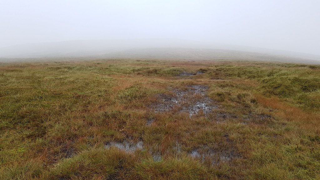
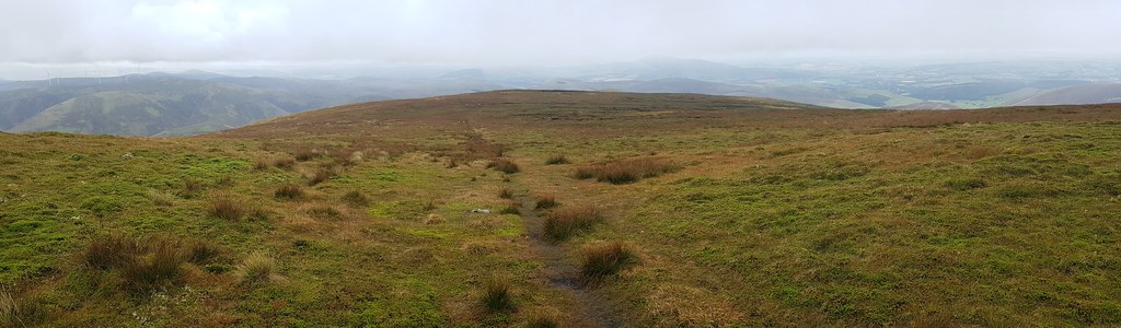
I press on into the murky swamp... the path also gets a bit vague and boggier at this point:
 20170917_140013
 by
Chris Mac, on Flickr
 20170917_140220
 by
Chris Mac, on Flickr
At last the summit comes into view:
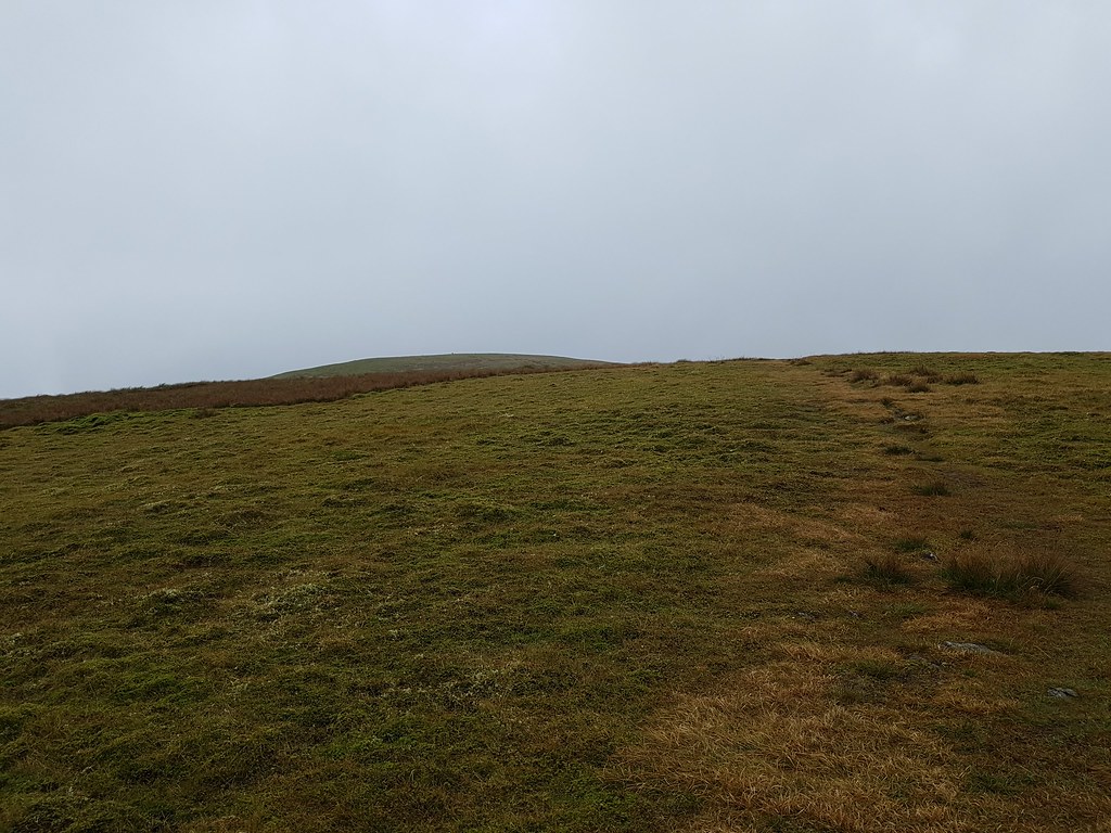 20170917_140641
 by
Chris Mac, on Flickr
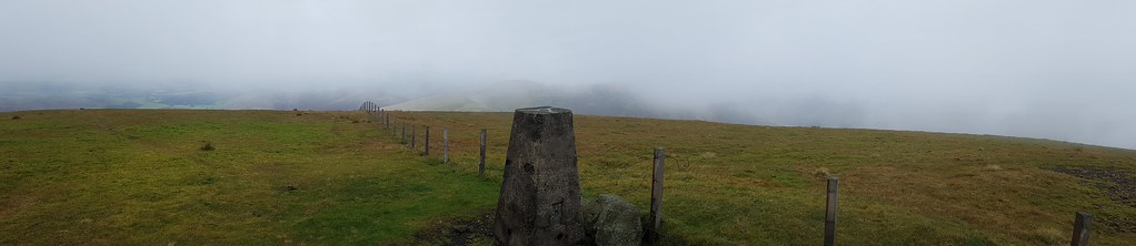
Trig point ahoy:
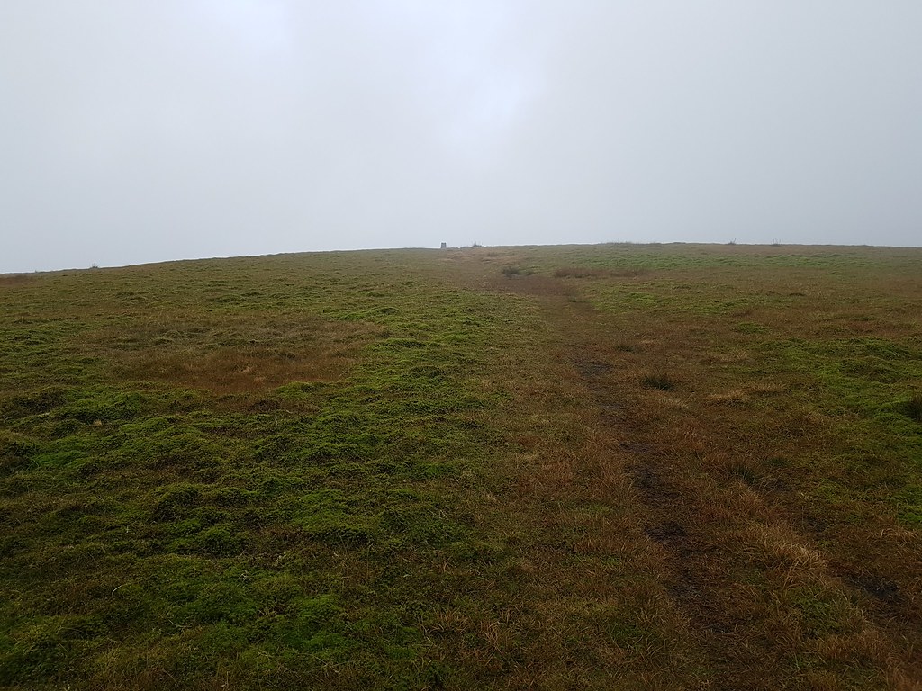 20170917_141139
 by
Chris Mac, on Flickr
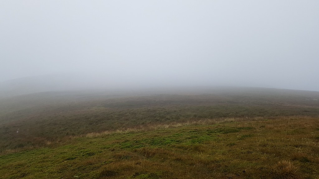
No view, at least it was good on the way up:
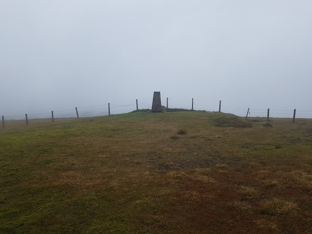 20170917_141221
 by
Chris Mac, on Flickr
What a view...

 20170917_141242
 by
Chris Mac, on Flickr
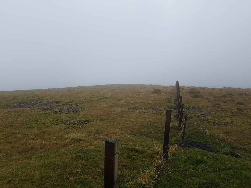
Head now firmly in the clouds:
 20170917_141251
 by
Chris Mac, on Flickr
 20170917_141307
 by
Chris Mac, on Flickr
Another glorious summit pano...doh!
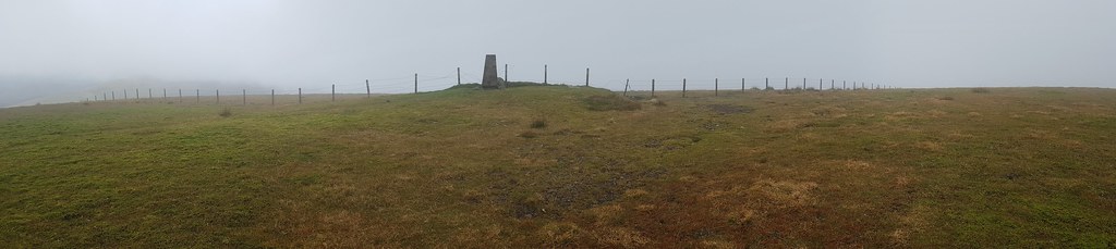 20170917_141550
 by
Chris Mac, on Flickr
Not expecting the cloud to pass any time soon, I head back down:
 20170917_141839
 by
Chris Mac, on Flickr
A little bit clearer on the descent:
 20170917_141904
 by
Chris Mac, on Flickr
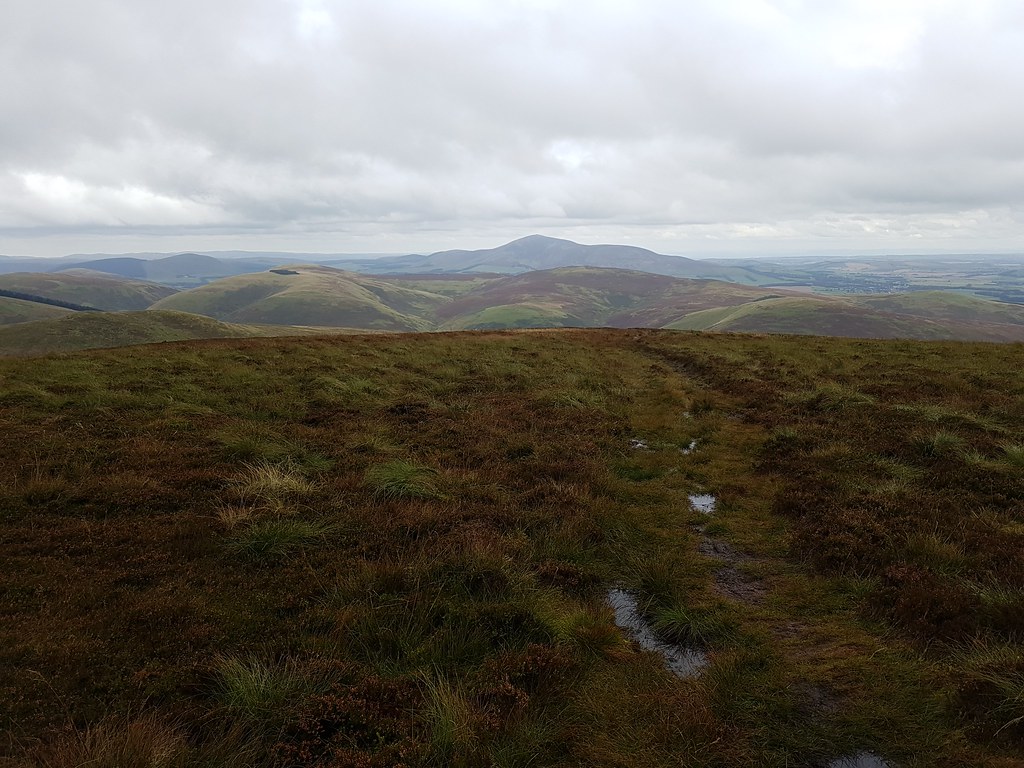
My first initial as a bog on the path:
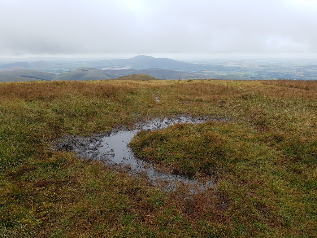 20170917_142309
 by
Chris Mac, on Flickr
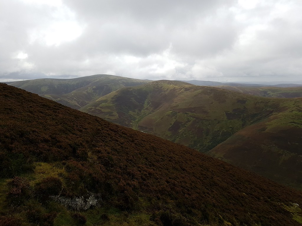
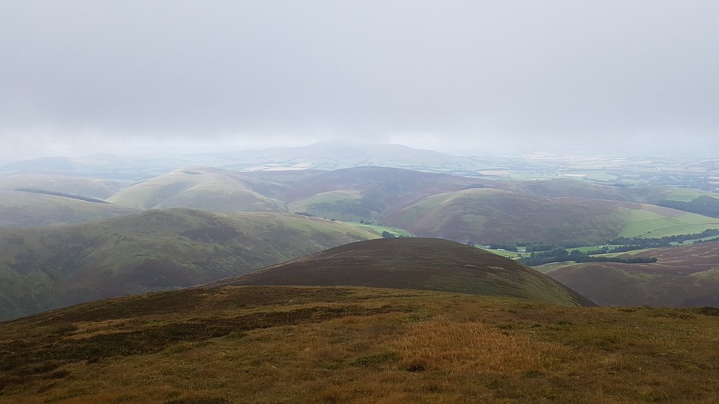
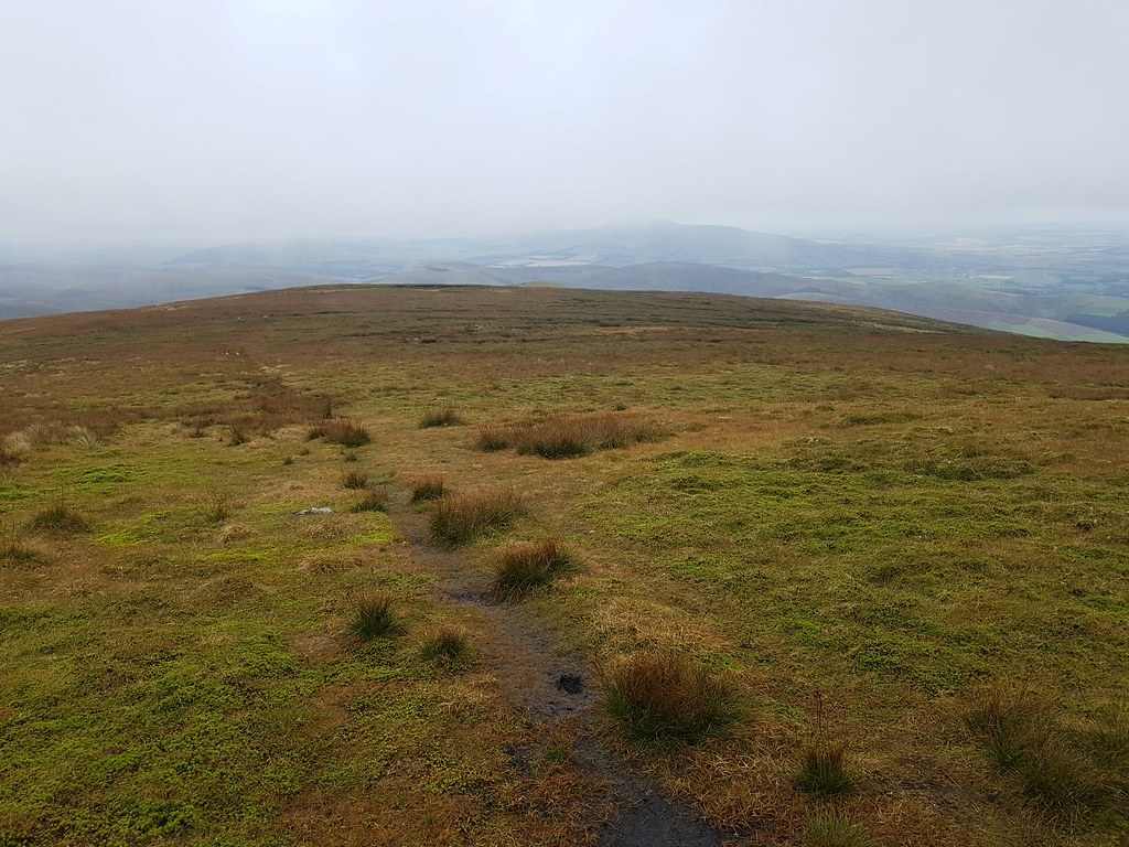
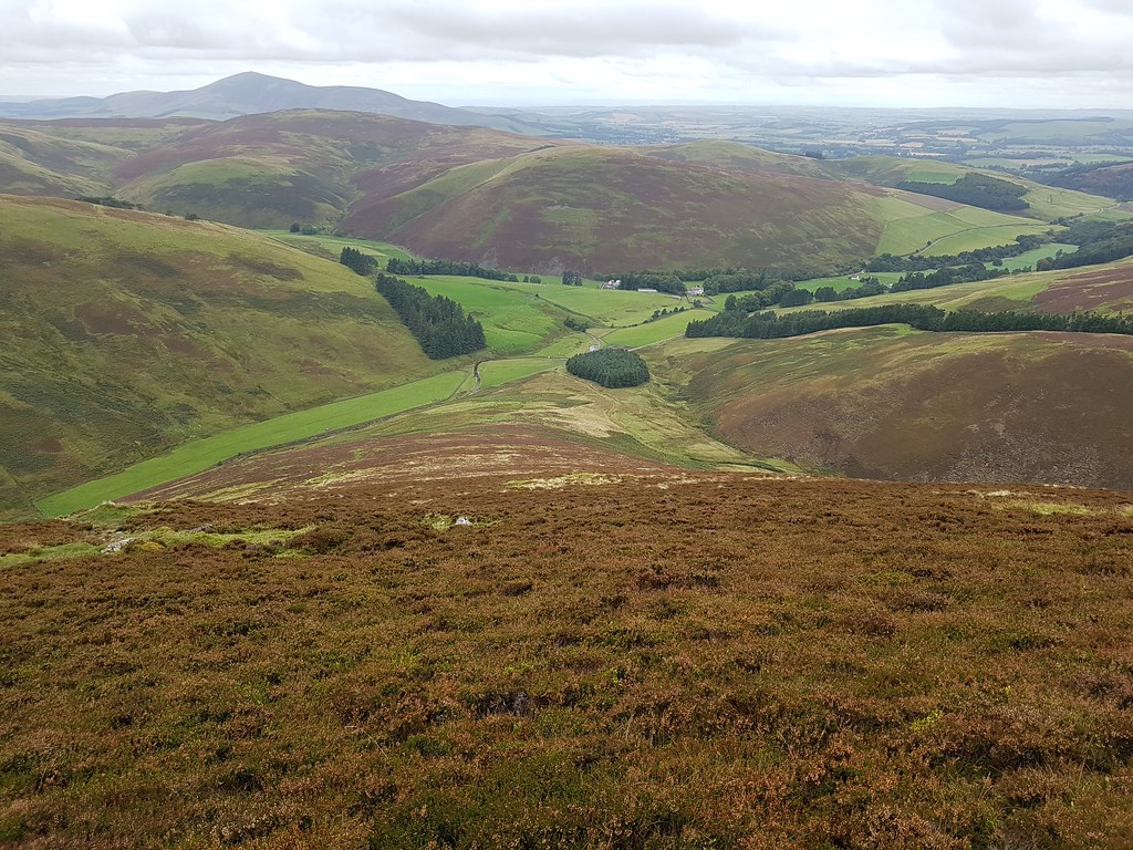
The view south clears up a bit to the left on the way down and Hart Fell is now visible:
 20170917_142601
 by
Chris Mac, on Flickr
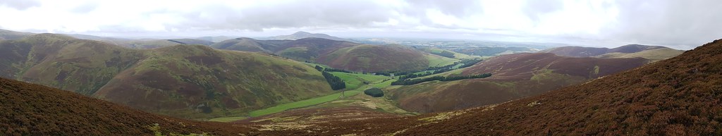
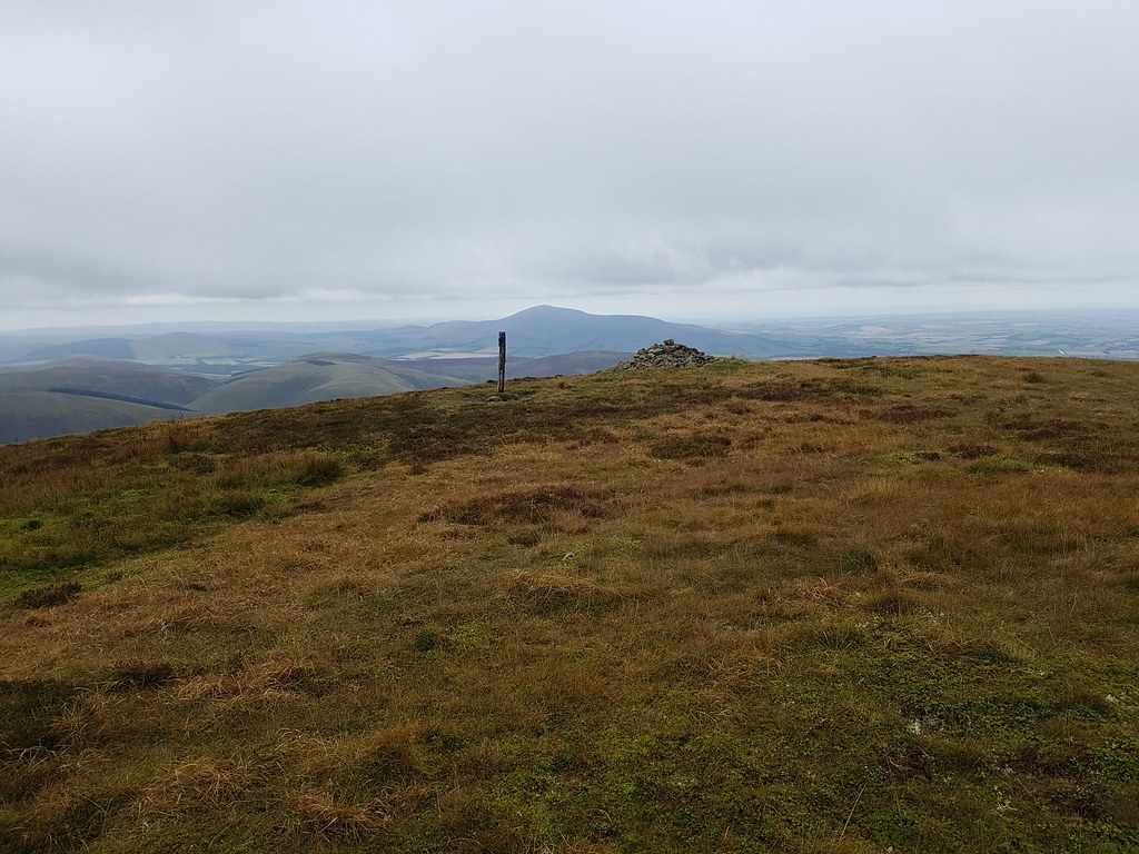
On the right is Chapelgill Hill with the Pentlands in the distance beyond:
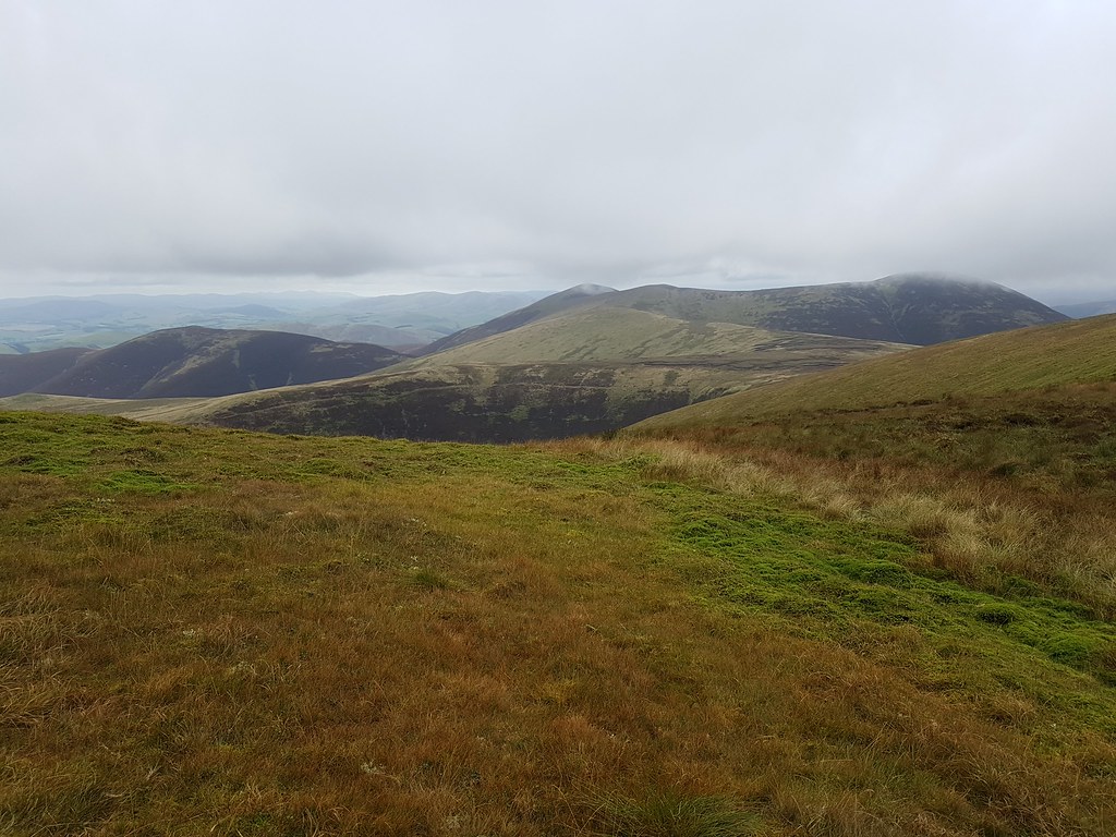 20170917_142846
 by
Chris Mac, on Flickr
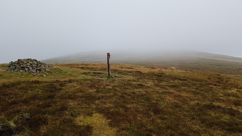
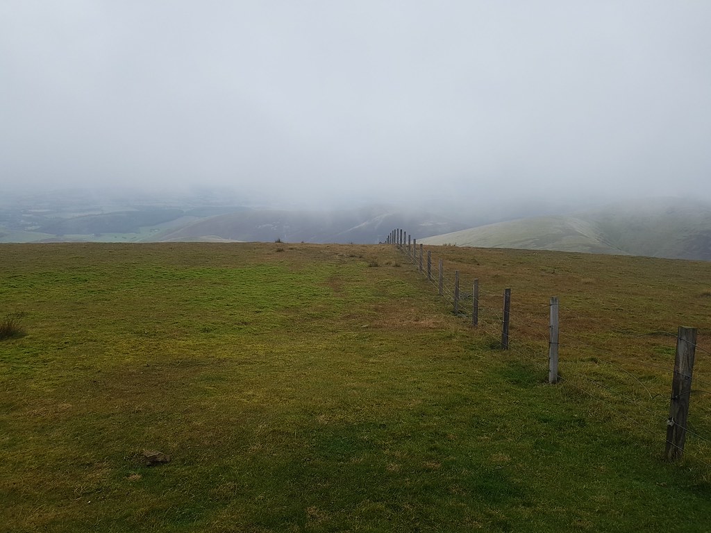
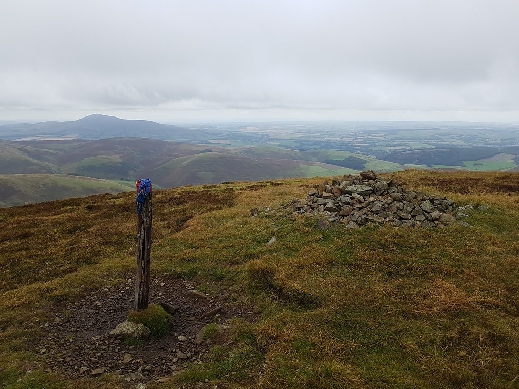
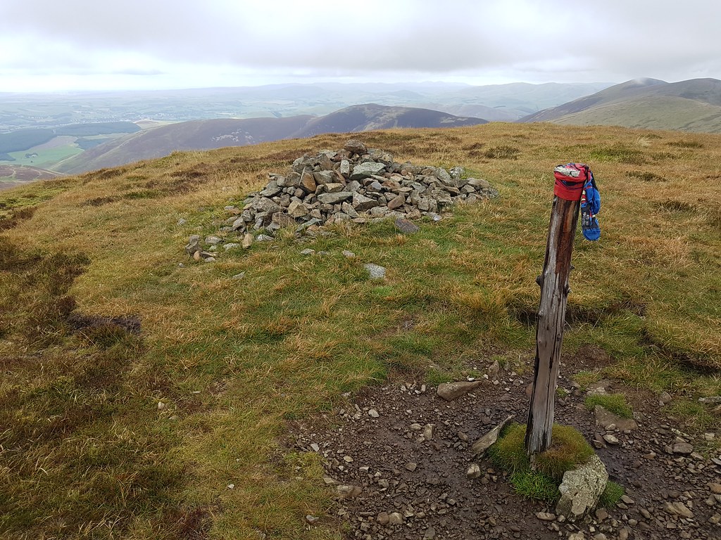
Fell Shin cairn and sock-on-a-post sentry with Tinto behind:
 20170917_142857
 by
Chris Mac, on Flickr
 20170917_142917
 by
Chris Mac, on Flickr
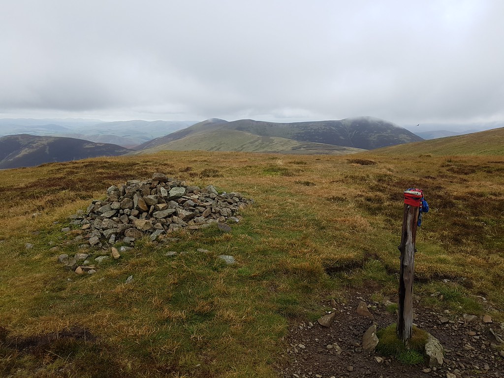
 20170917_142934
 by
Chris Mac, on Flickr
 20170917_142945
 by
Chris Mac, on Flickr
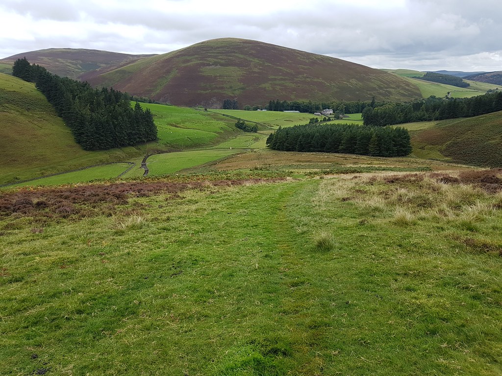
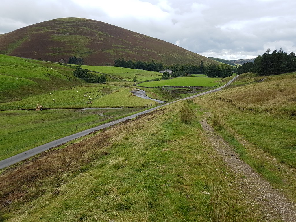
The descent is fairly fast and luckily with no muddy-bum incidents...
 20170917_143909
 by
Chris Mac, on Flickr
 20170917_144146
 by
Chris Mac, on Flickr
 20170917_145319
 by
Chris Mac, on Flickr
 20170917_145603
 by
Chris Mac, on Flickr
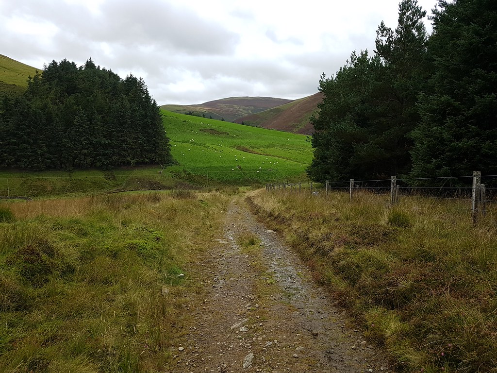
Onto the road and along towards the killer cattle grid!

 20170917_145705
 by
Chris Mac, on Flickr
Culterallers Farm with the car and start point up ahead, job done:
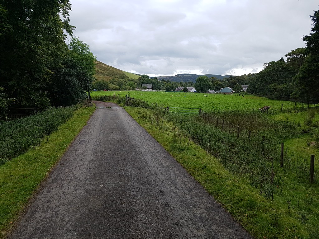 20170917_150234
 by
Chris Mac, on Flickr
Conquered...
 20170917_150511
 by
Chris Mac, on Flickr
We stopped off at the Mill Inn in Culter for grub before heading back home.
Culter Fell was a great viewpoint and enjoyable and easy walk. Just two hours up and down if you want to keep it simple, or add in any number of surrounding hills to make a bigger day of it. On the way down I could make out Ben More, Stob Binnein, Ben Ledi, Ben Vorlich and Stuc a'Chroin so i'm looking forward to returning for the longer circular route on taking in Gathersnow Hill and Hudderstone a clear day...
