
Sgiath Chuil on a very wet day from Glen Lochay
For the second walk of my weekend in Scotland in September 2017 I had intended to climb the pair of hills Sgiath Chuil and Meall Glas from Glen Lochay. However, there had been quite a lot of recent heavy rain and the forecast was for more. This would make the river crossing at Lubchurran difficult if not impossible so I scaled my plans back to just climb Sgiath Chuil.
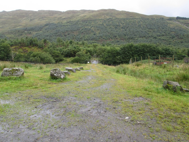
After parking near Kenknock the route I was intending to take was up the hydro road through the forest from Kenknock from NN466364.
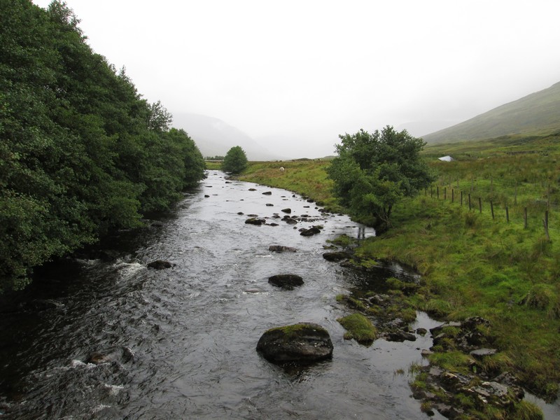
Already the River Lochay was quite deep and it was still raining, and did so for most of the day.
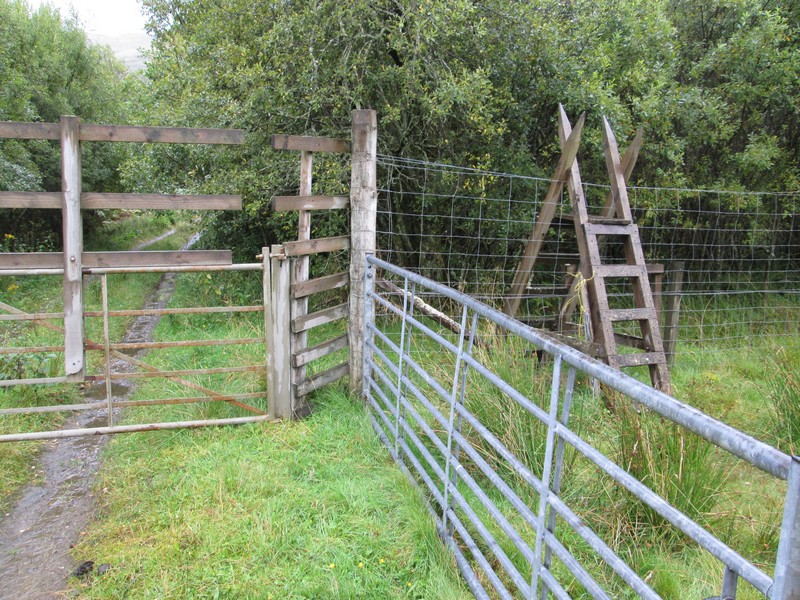
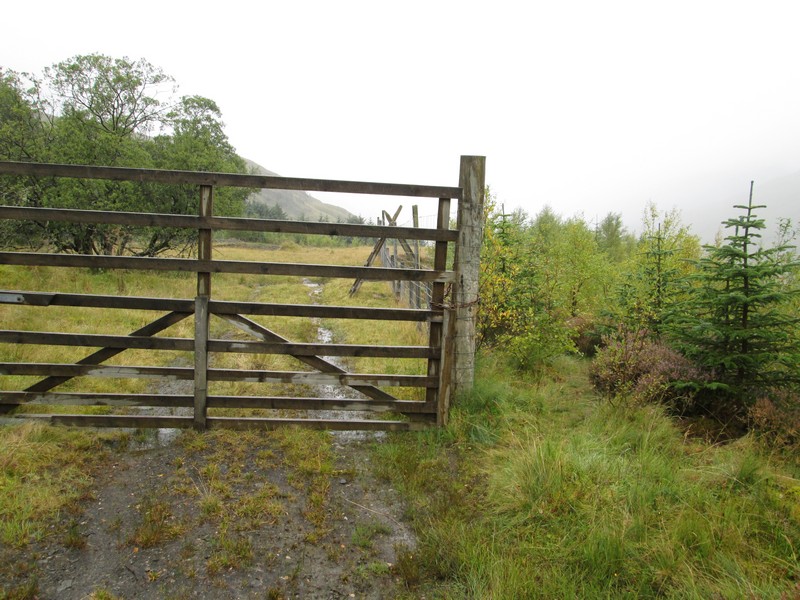
The stiles across the deer fences on this walk are not immediately obvious until you look to the sides of the gates. There was a notice about deer culling wedge out of sight under the stile. It said “Stalking today”but didn't say which day it was - a date would have been more useful!
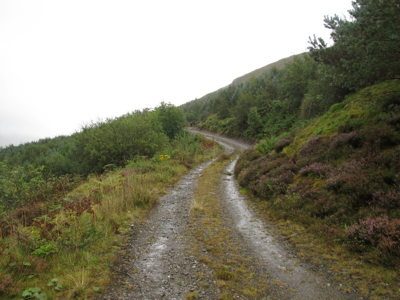
The road heads off uphill round a series of zig zags..
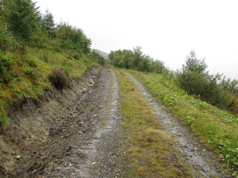
...with what would be, in good weather, excellent views up the Glen.
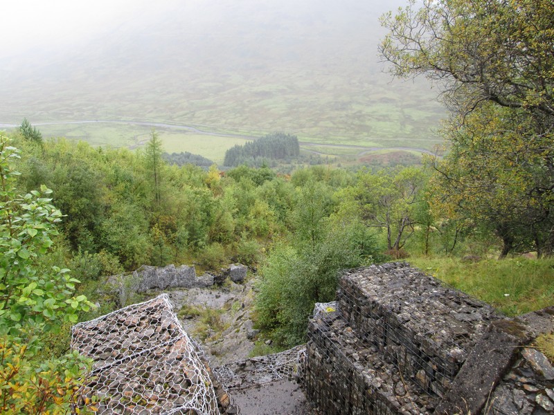
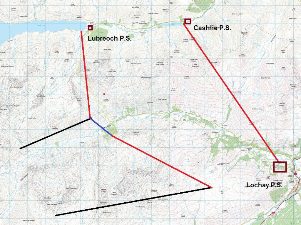
At the top of the road is the pump house for the Breadalbane HEP scheme. This is where the water comes through tunnels from Glen Dochart and then goes downhill through the pipeline that crosses Glen Lochay. The red lines are tunnels, the black lines are aqueducts (mostly covered) and
the blue line is the pipeline in Glen Lochay. The water flows all the way from
Glen Dochart to Loch Lyon and then on through the power stations at Lubreoch and Cashlie to end at the Lochay power station.
At the end of the hydro road the stile is hidden down the side of the deer fence.
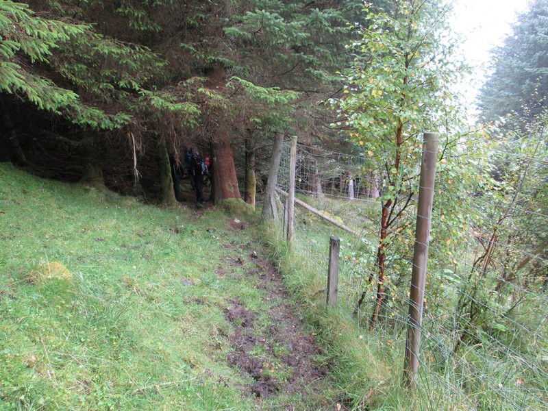
There is a choice of ways from here: either go straight ahead along the deer fence through the trees (not recommended as the tree roots are difficult to get past in places) or turn left up the hillside from the stile and walk round the top edge of the forest.
Here, I'm following a group of walkers up the hillside before turning right to reach...
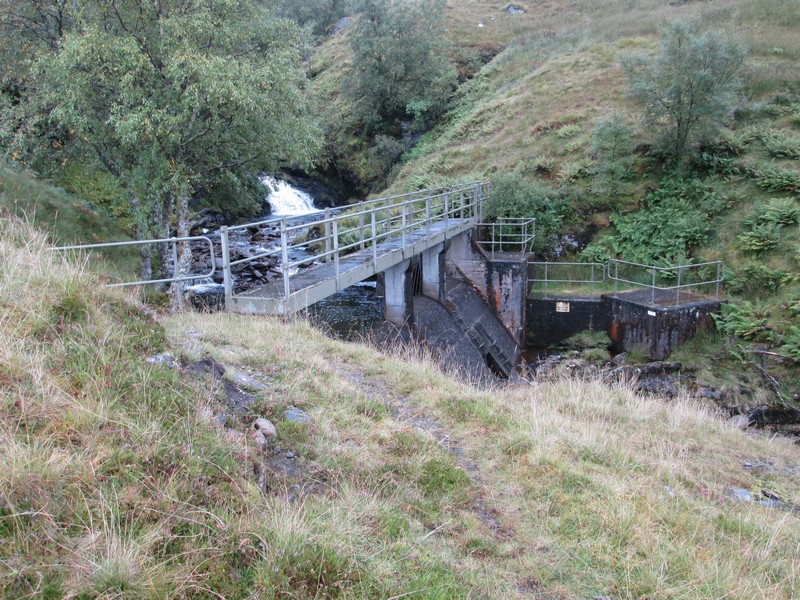
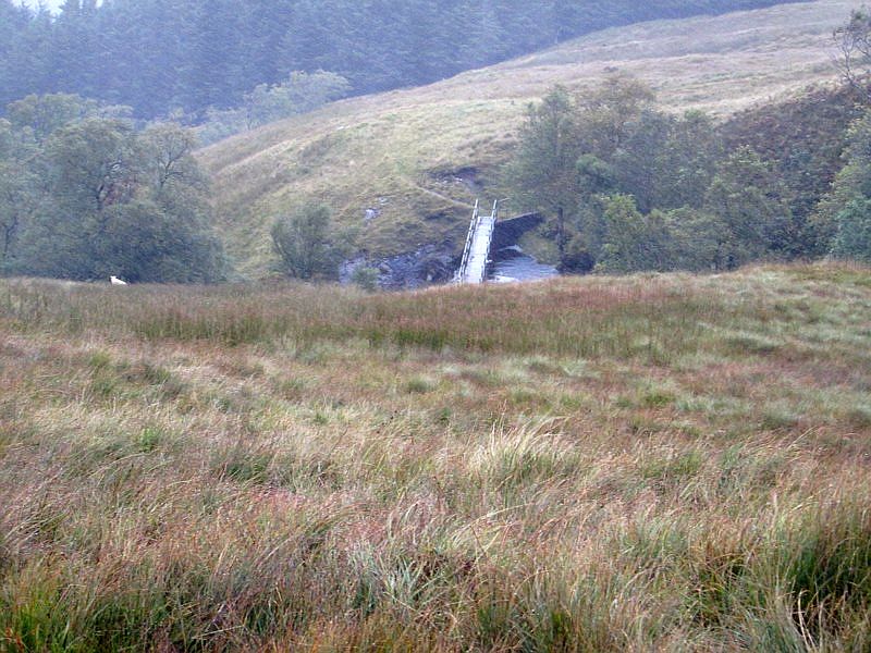
...the footbridge over the dam at NN46565 35250.
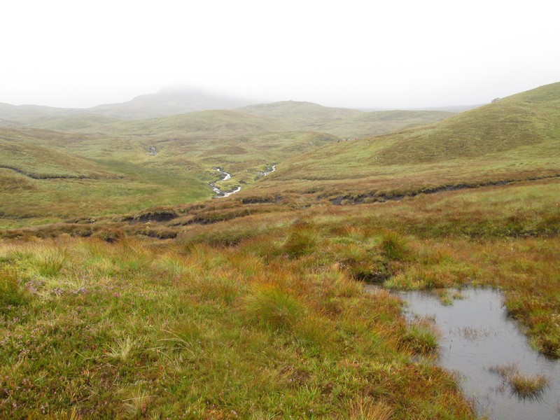
Once over the dam there are the delights of the bogs and peat hags above the Allt Innis Daimh to deal with.
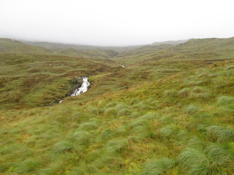
The stream is already in spate and will be much worse by the time I return in the afternoon.
I'd entered several grid reference way points into my GPS so it was basically a case of heading uphill and trying to avoid as much of the bogs....
.....and hags as possible.
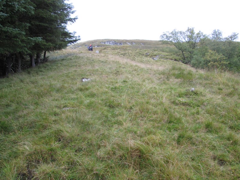
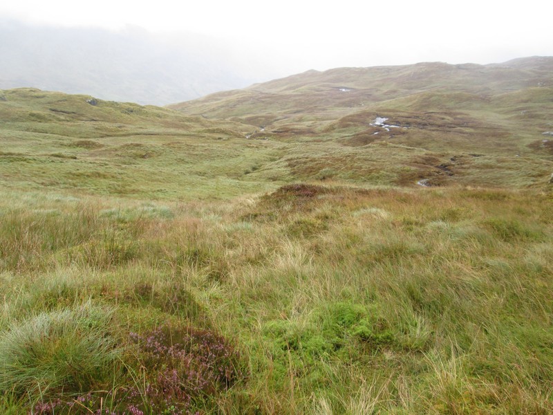
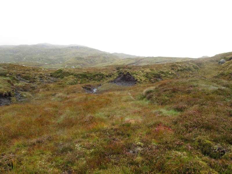
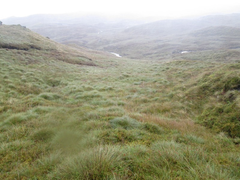
The hill is a confusing one with lots ofundulations and just the odd suggestion of a track in places.
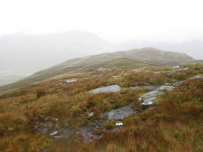
This is looking back downhill towards the two rises at the spot heights of 577 and 580m on the 1:25000 map.
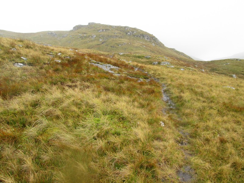
Eventually a clearer path was found and I head off uphill..
...with the slopes of Meall a'Churain rising into the mist.
This is another downhill view showing the two lochans near Grid Ref. NN 462 334.
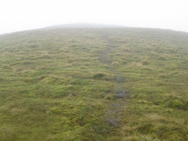
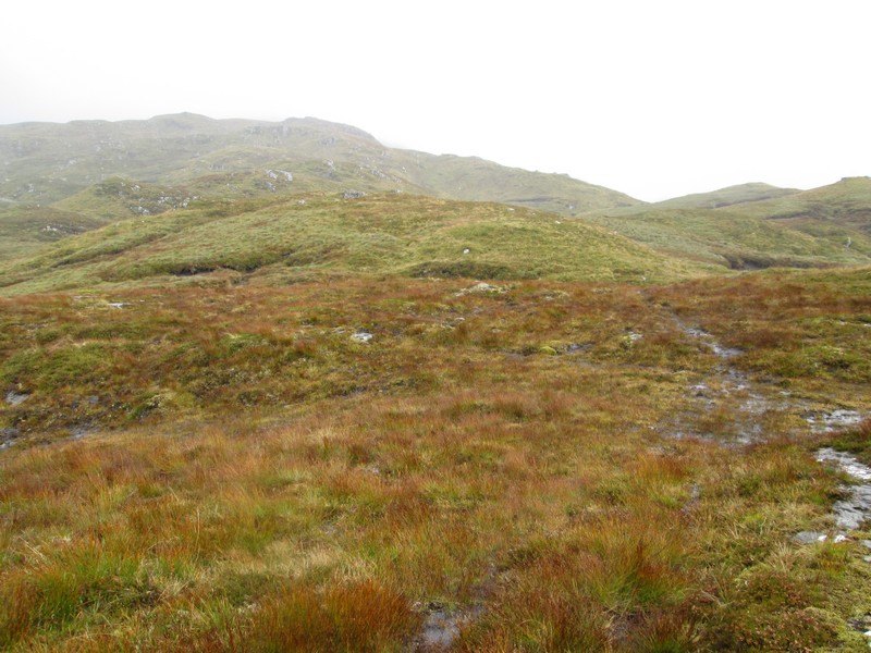
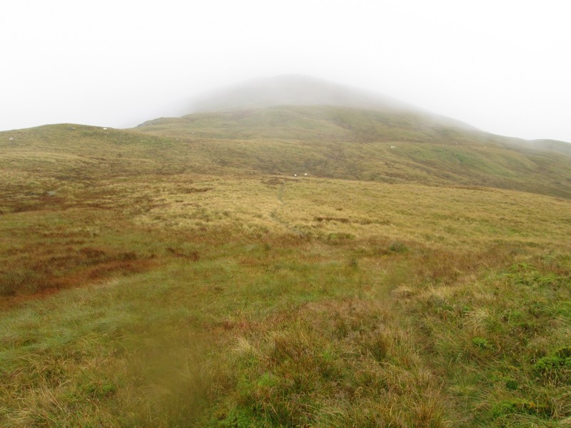
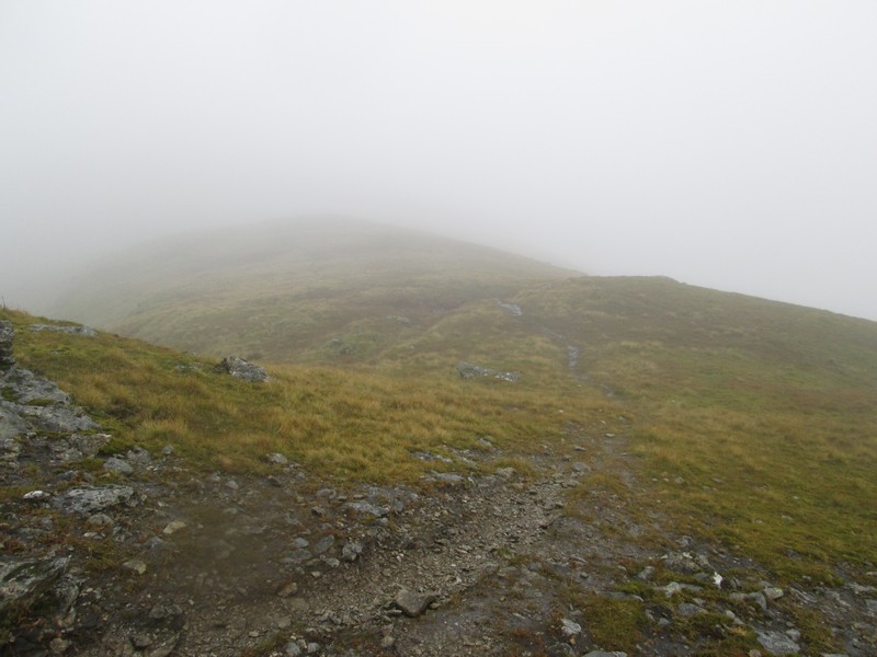
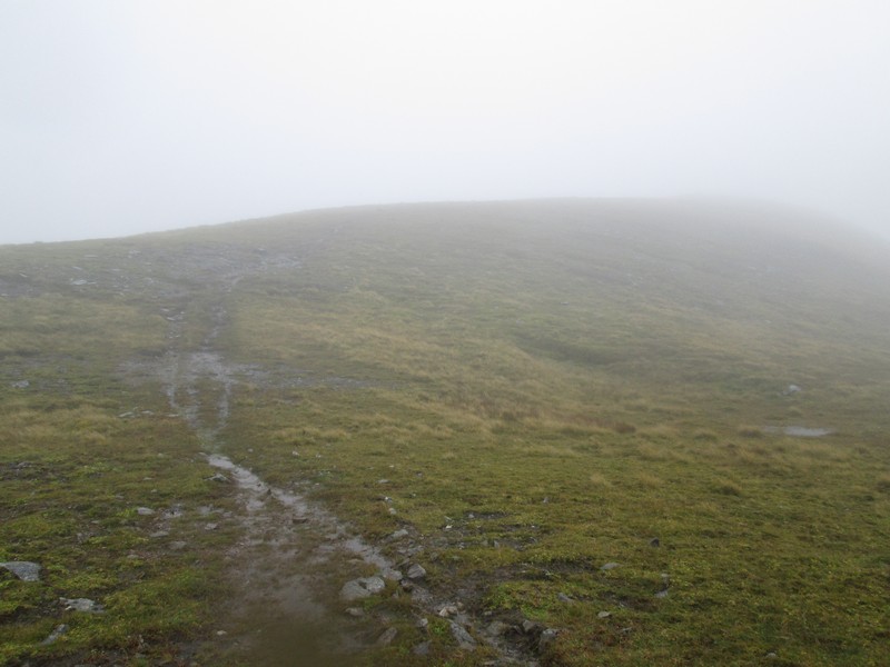
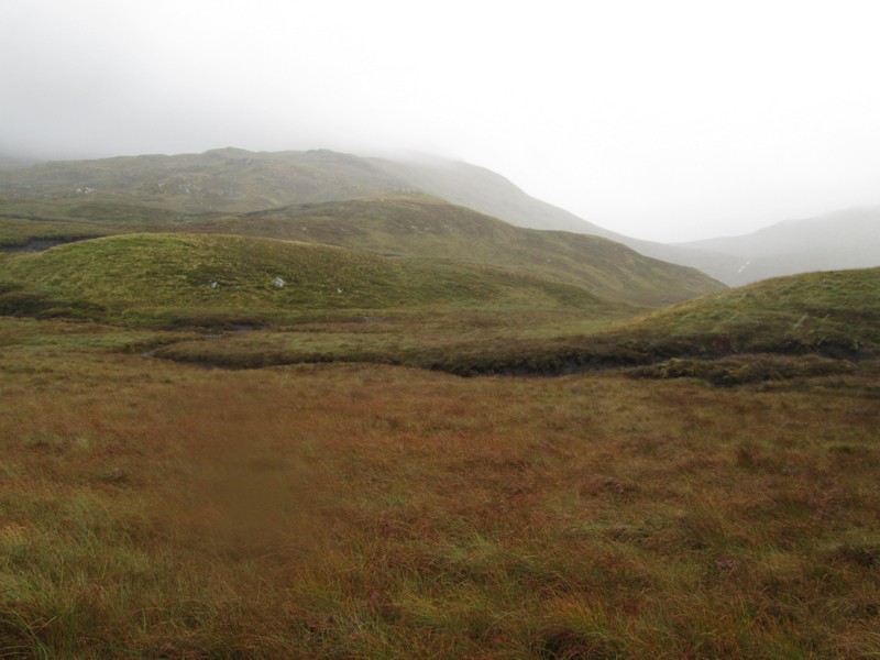
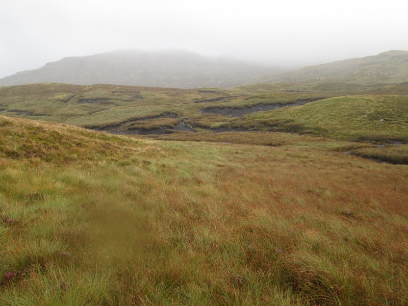
Sadly there are no views from now on and the photos will all looking pretty boring, but it will give an idea of the terrain.
The summit of the top at Meall a'Churain (913m) has a small cairn on it.
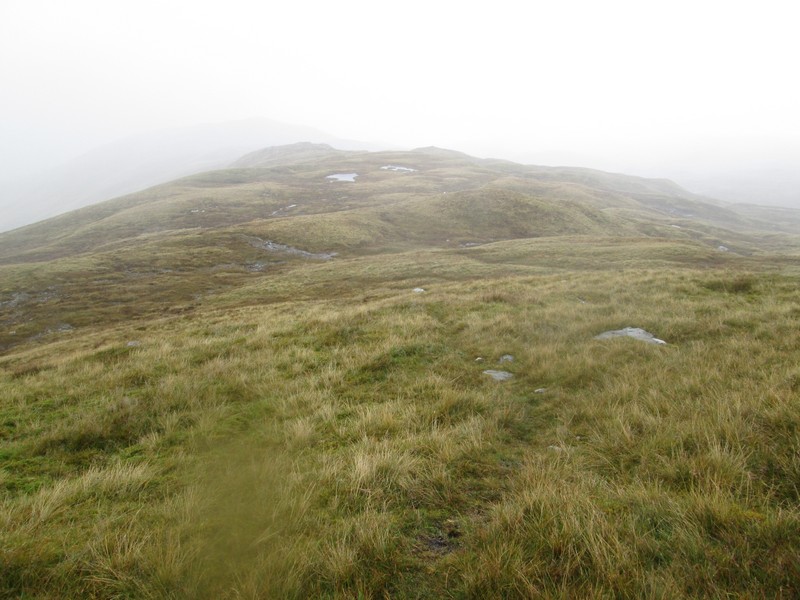
Basically the hard work is almost over now...
...as the path drops slightly and then...
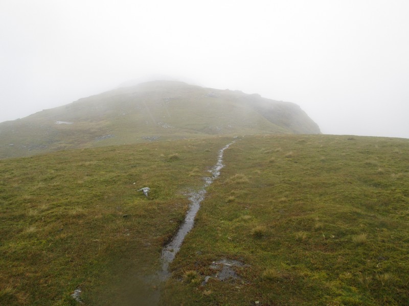
...turns right to head up...
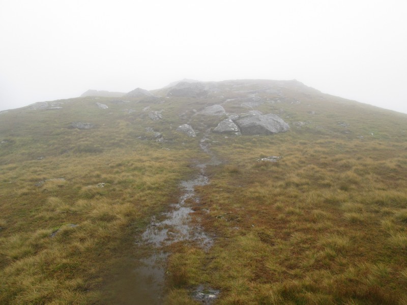
...into a more rocky area around...
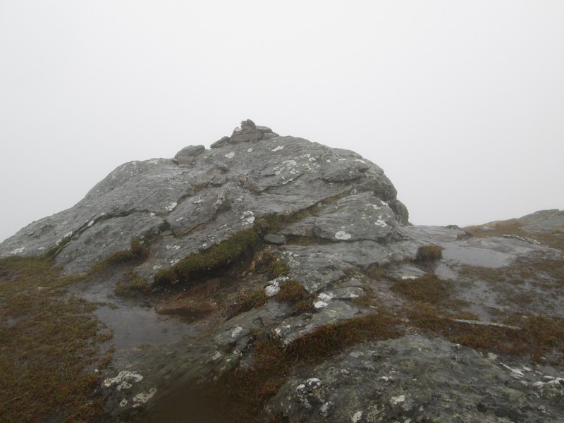
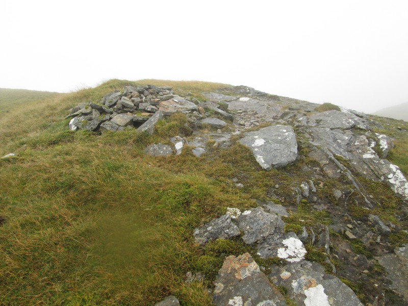
...the summit rock with its small cairn. The climb had taken about 3 hours 15 minutes from leaving the road at Kenknock, about half an hour longer than expected because of the difficulties crossing the peat hags and the slight lethargy I was feeling with a cold incubating. The rain had been steady for most of the climb but once on the top the wind picked up noticeably as forecast, so I didn't hang about but found a spot out of the wind, put on an extra layer of clothing, had a sandwich and headed off back down the hill.
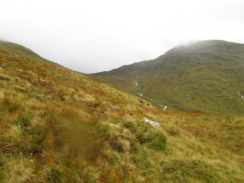
The cloud base started to fluctuate a little as I descended from Meall a'Churain and for a short time there was a view looking across to Beinn Cheathaich. If I had climbed Meal Glas as originally planned I would have descended to the bealach between it and Sgiath Chuil before continuing onto Meal Glas.
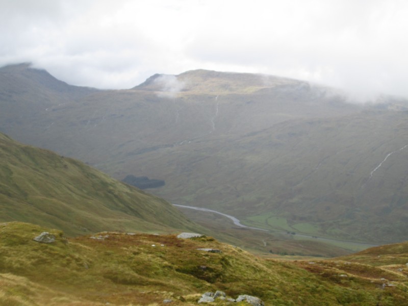
Over Glen Lochay Beinn Sheasgarnich becomes briefly cloud free.
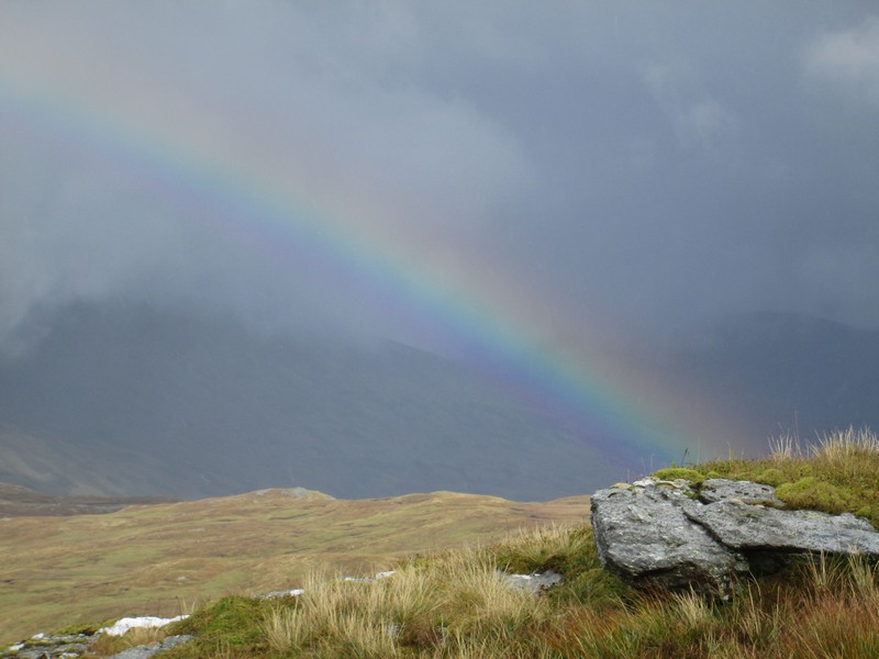
For a few moments a rainbow appeared over the glen.
I followed the track down the hill until reaching the peat hags and then worked my way around them to ....
.....stay on the north west side of all the streams in this area.
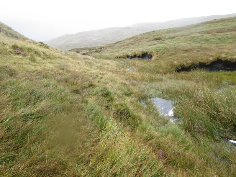
A faint path follows one of the tributaries of the Allt Innis Diamh...
...but I'm heading on a GPS bearing for the footbridge over the stream at the dam so simply plod on in the right direction.
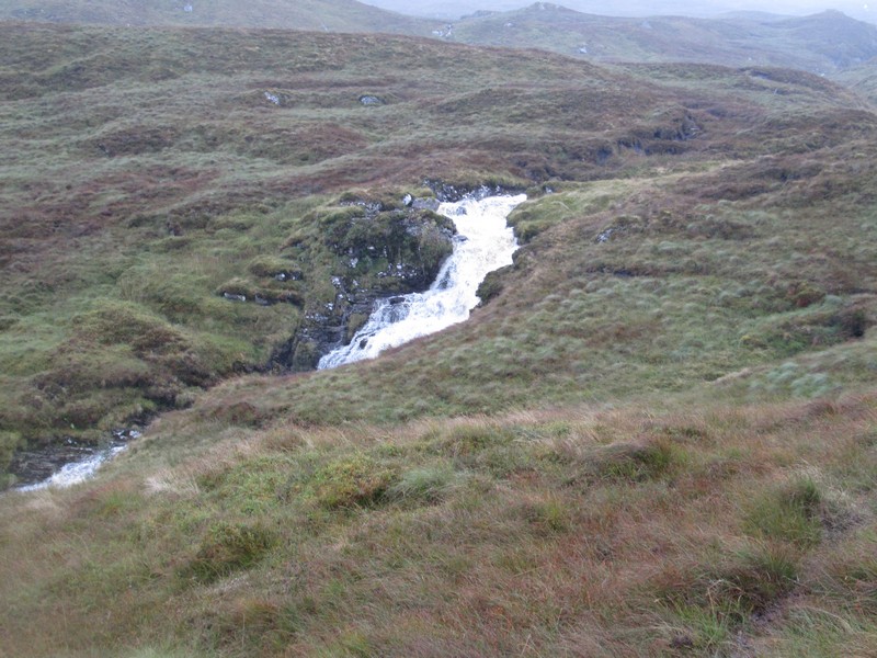
The stream now has considerably more water in than earlier in the day.
The GPS, of course, takes me exactly where I want to be with footbridge directly ahead.
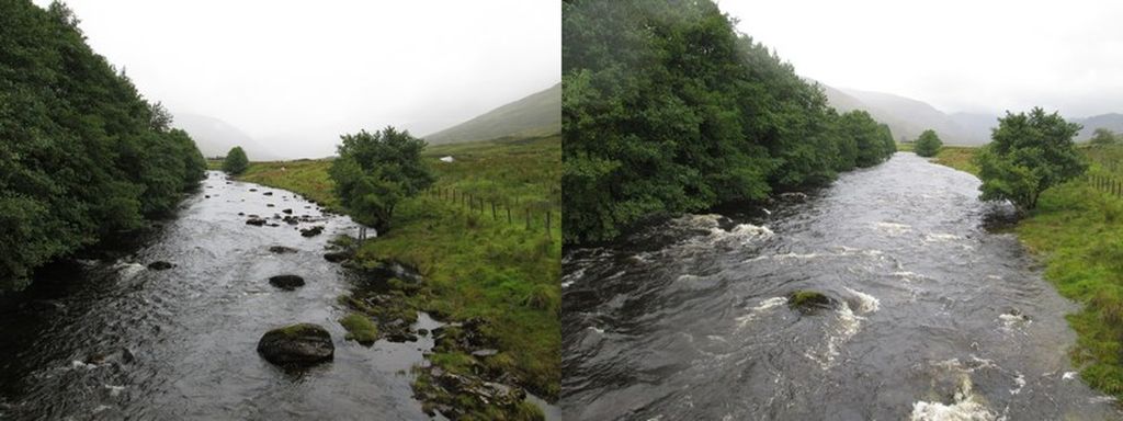
Back at the river bridge the difference in water levels since I was here in the morning was considerable. Clearly there would have been no chance to cross the River Lochay safely at the ford further up the glen. The return walk had taken three hours from the summit. It had been a good walk despite the weather and was the last Munro I expect to climb in 2017 - number 179 and only 21 more to get 200!
After parking near Kenknock the route I was intending to take was up the hydro road through the forest from Kenknock from NN466364.
Already the River Lochay was quite deep and it was still raining, and did so for most of the day.
The stiles across the deer fences on this walk are not immediately obvious until you look to the sides of the gates. There was a notice about deer culling wedge out of sight under the stile. It said “Stalking today”but didn't say which day it was - a date would have been more useful!
The road heads off uphill round a series of zig zags..
...with what would be, in good weather, excellent views up the Glen.
At the top of the road is the pump house for the Breadalbane HEP scheme. This is where the water comes through tunnels from Glen Dochart and then goes downhill through the pipeline that crosses Glen Lochay. The red lines are tunnels, the black lines are aqueducts (mostly covered) and
the blue line is the pipeline in Glen Lochay. The water flows all the way from
Glen Dochart to Loch Lyon and then on through the power stations at Lubreoch and Cashlie to end at the Lochay power station.
At the end of the hydro road the stile is hidden down the side of the deer fence.
There is a choice of ways from here: either go straight ahead along the deer fence through the trees (not recommended as the tree roots are difficult to get past in places) or turn left up the hillside from the stile and walk round the top edge of the forest.
Here, I'm following a group of walkers up the hillside before turning right to reach...
...the footbridge over the dam at NN46565 35250.
Once over the dam there are the delights of the bogs and peat hags above the Allt Innis Daimh to deal with.
The stream is already in spate and will be much worse by the time I return in the afternoon.
I'd entered several grid reference way points into my GPS so it was basically a case of heading uphill and trying to avoid as much of the bogs....
.....and hags as possible.
The hill is a confusing one with lots ofundulations and just the odd suggestion of a track in places.
This is looking back downhill towards the two rises at the spot heights of 577 and 580m on the 1:25000 map.
Eventually a clearer path was found and I head off uphill..
...with the slopes of Meall a'Churain rising into the mist.
This is another downhill view showing the two lochans near Grid Ref. NN 462 334.
Sadly there are no views from now on and the photos will all looking pretty boring, but it will give an idea of the terrain.
The summit of the top at Meall a'Churain (913m) has a small cairn on it.
Basically the hard work is almost over now...
...as the path drops slightly and then...
...turns right to head up...
...into a more rocky area around...
...the summit rock with its small cairn. The climb had taken about 3 hours 15 minutes from leaving the road at Kenknock, about half an hour longer than expected because of the difficulties crossing the peat hags and the slight lethargy I was feeling with a cold incubating. The rain had been steady for most of the climb but once on the top the wind picked up noticeably as forecast, so I didn't hang about but found a spot out of the wind, put on an extra layer of clothing, had a sandwich and headed off back down the hill.
The cloud base started to fluctuate a little as I descended from Meall a'Churain and for a short time there was a view looking across to Beinn Cheathaich. If I had climbed Meal Glas as originally planned I would have descended to the bealach between it and Sgiath Chuil before continuing onto Meal Glas.
Over Glen Lochay Beinn Sheasgarnich becomes briefly cloud free.
For a few moments a rainbow appeared over the glen.
I followed the track down the hill until reaching the peat hags and then worked my way around them to ....
.....stay on the north west side of all the streams in this area.
A faint path follows one of the tributaries of the Allt Innis Diamh...
...but I'm heading on a GPS bearing for the footbridge over the stream at the dam so simply plod on in the right direction.
The stream now has considerably more water in than earlier in the day.
The GPS, of course, takes me exactly where I want to be with footbridge directly ahead.
Back at the river bridge the difference in water levels since I was here in the morning was considerable. Clearly there would have been no chance to cross the River Lochay safely at the ford further up the glen. The return walk had taken three hours from the summit. It had been a good walk despite the weather and was the last Munro I expect to climb in 2017 - number 179 and only 21 more to get 200!