free to be able to rate and comment on reports (as well as access 1:25000 mapping).
A weekend away in September 2017 found me walking in Glen Lochay near Killin. After a night at the Bridge of Lochay Hotel I drove up the narrow road to the car park near Kenknock. The plan was to climb both Creag Mhor and Beinn Sheasgarnaich. However, things didn't work out as planned as I found the climb of Creag Mhor more difficult than I expected, probably because it appears that I was incubating a heavy cold. All the weather forecasts had been very poor for the weekend but, at the last moment, the forecast changed and I was treated to one of the best days I've ever had with not only sunny skies, but also incredibly clear views.
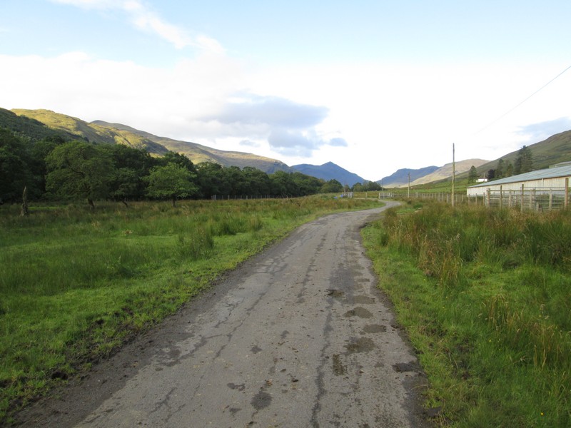
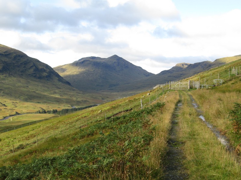
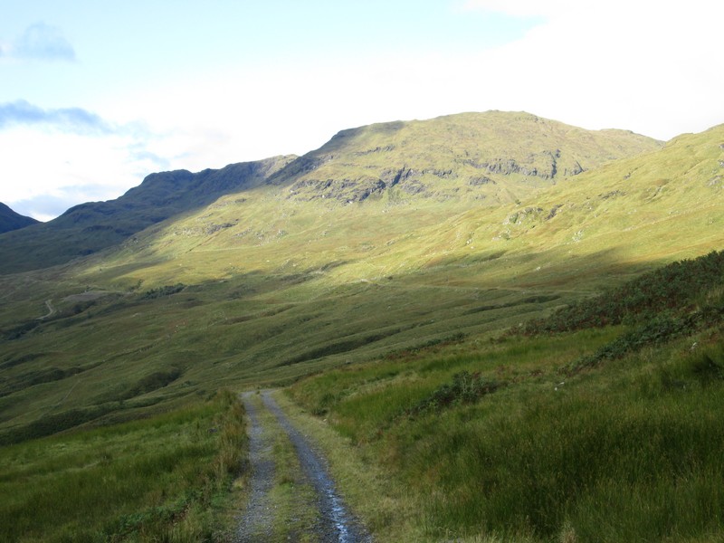
The walk starts along the road towards Kenknock farm. The dark pointed
hill in the distance is Ben Challum.
Just beyond the farm there is a choice of route. You can either continue
straight ahead along the glen track to Batavaime and then begin the climb
or.....
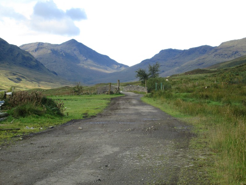
......turn right steeply uphill along the private road that crosses the pass and then goes down into Glen Lyon. This is the route I chose.

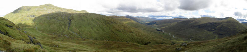
A panorama of the south side of Glen Lochay with, from left to right, the pipeline of the hydro electric scheme and then the summits of Sgiath Chuil, Beinn Cheathaich, Meall Glas and Ben Challum.
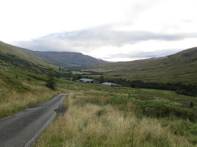
Looking back down the road into lower Glen Lochay.
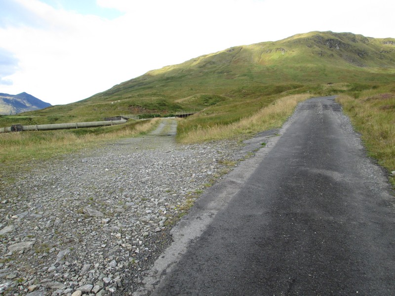
After walking up the three hair pin bends on the road a hydro road branches off to the left. I would be following this for about the next three and a half miles.
The way is “enlivened” by numerous dams related to the hydro electric scheme in this part of Scotland.
The map below shows in schematic form the HEP scheme. The black lines are aqueducts (usually out of sight) the red lines are tunnels and the blue line is the exposed pipe across Glen Lochay.
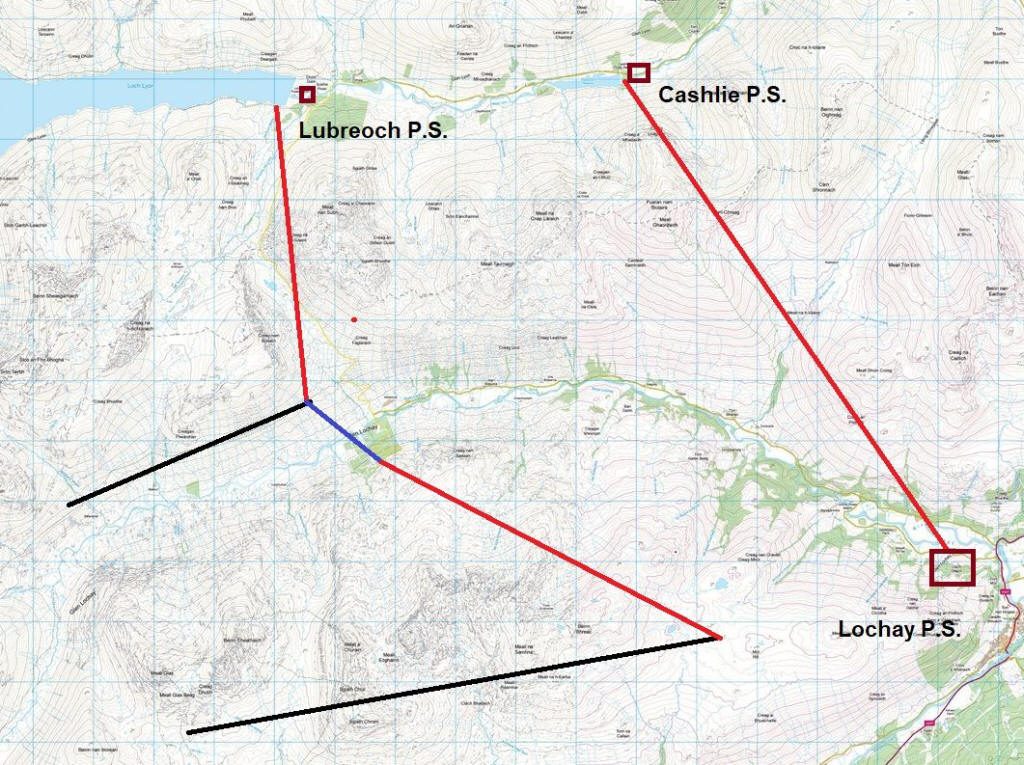
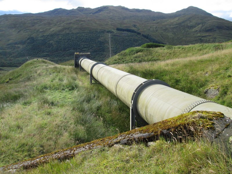
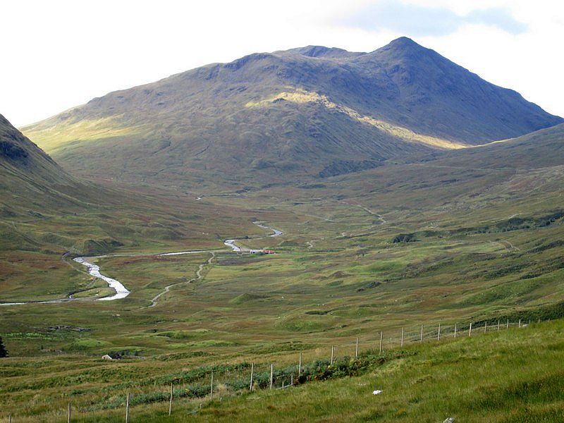
This pipeline carries water from the other side of Glen Lochay that has been collected on both the far side of the valley and also from the Glen Dochart side of the hills seen in this photo. As can be seen in the photo the top of the pipeline on the other side of the glen is higher than where the photo is taken from so water pressure from the far side lifts the water uphill. The water in the pipeline is then discharged into an underground aqueduct and then into a tunnel which feeds into Loch Lyon. The water then goes through several more small power stations and tunnels before ending up at the large Lochay Power Station near Bridge of Lochay.
The walk up the hydro road is dominated by Ben Challum at the head of the glen.
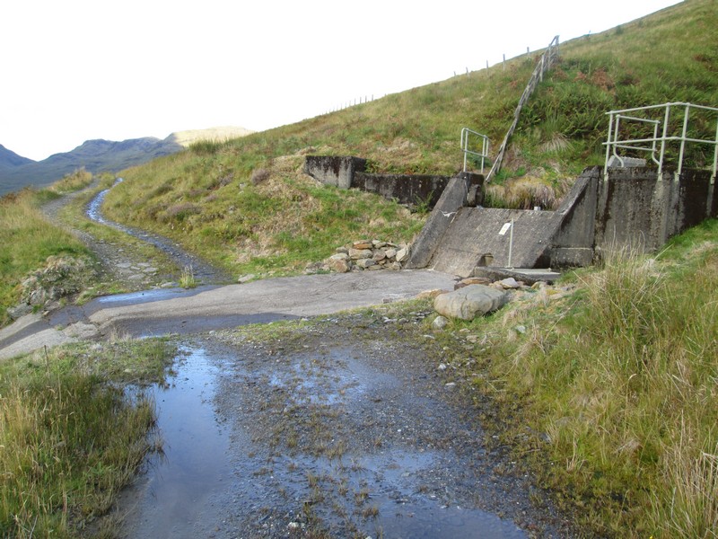
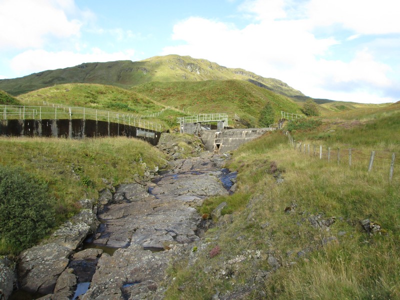
There's a second dam with an overflow slab, which looks as though it might be impossible to cross if water was being discharged as there is a very steep drop to the left.
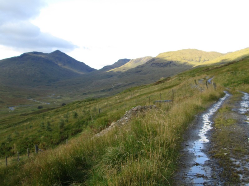
The track meanders up and down along the hillside.
The view across Glen Lochay with the farm building at Badour in the centre and Ben Challum beyond.
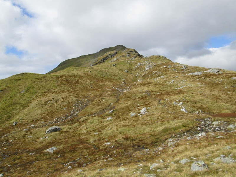
The slopes and crags of Sron nan Eun come into view. Getting up on to this hill is the day's first objective.
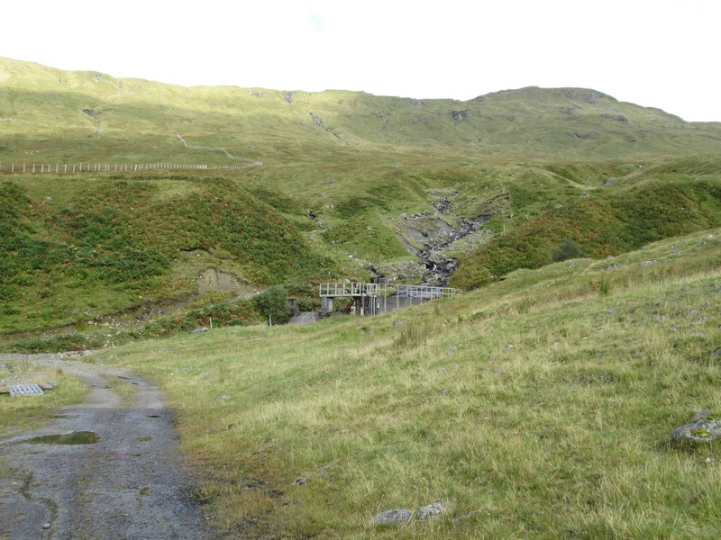
Yet another dam is passed…
...but this part of the walk is enlivened by views of distant hills seen up Glen Lochay. This is An Caisteal with its two ridges, Stob Glas being the ridge behind.
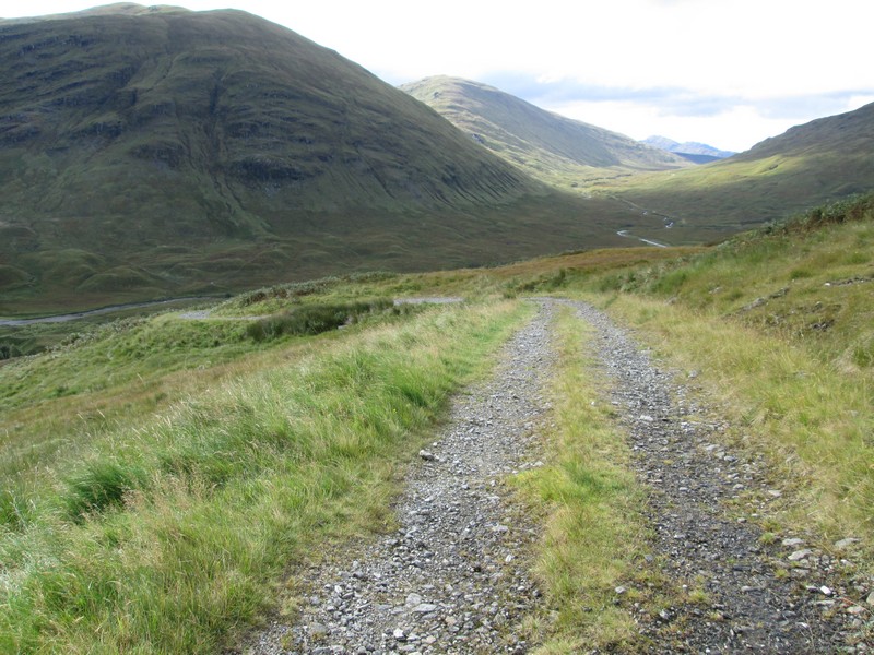
The hydro road now drops down…
..to reach another dam hidden by trees.
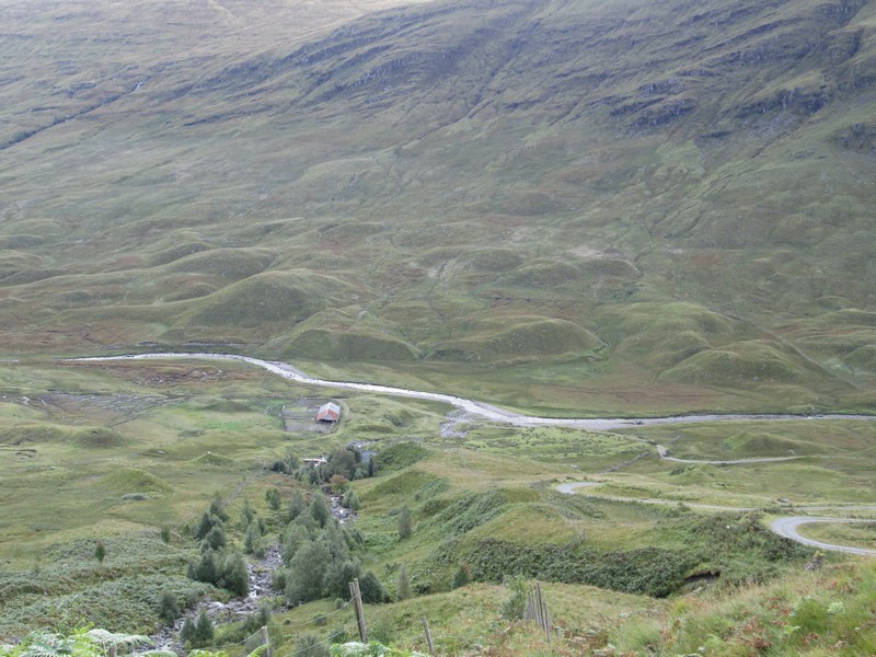
The barn at Batavaime is about 100m lower down and another hydro road can be seen climbing…
...to meet the main track at this point.
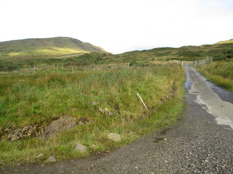
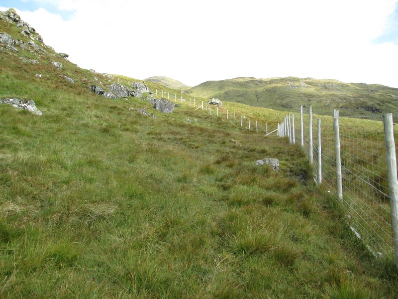
A few hundred metres beyond the junction I could see a new deer fence with what appeared to be a gate in it, so off I set up the rough hillside only to find that the gate was actually on the other side of the fence at a fence junction. Looking back along the fence I could see a gate on the main hydro track which would allow me get the other side of the fence. The only trouble was that I'd already climbed quite a way up the hill and now had to drop down again.....Grr.
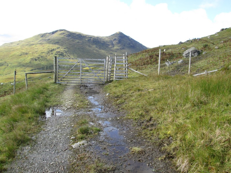
So, I've now wasted about 15 minutes to arrive at the gate (Grid Ref. NN41142 34529)
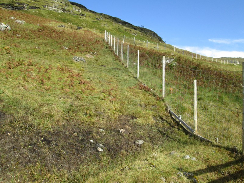
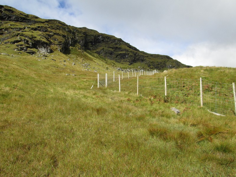
I then followed the fence uphill…
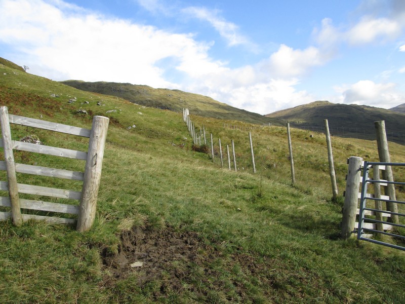
...passing the gate I had seen earlier..
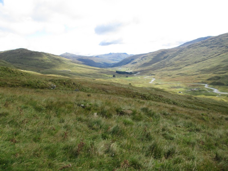
A photo looking back down Glen Lochay with the pointed summits of Meall Ghaordaidh and Ben Lawers in the distance.
There's a faint path developing…
...as the fence climbs under the crags of Sron nan Euan…
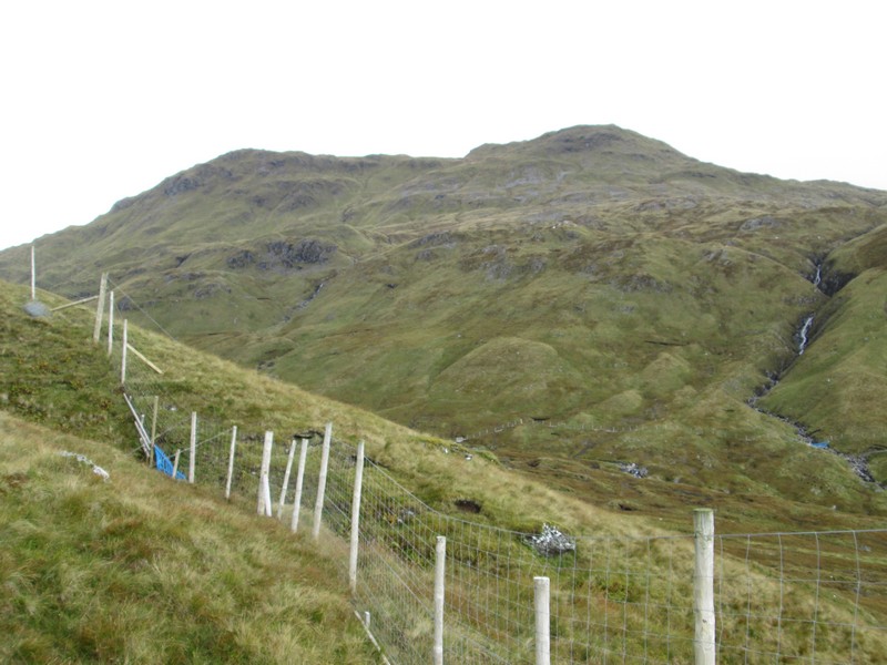
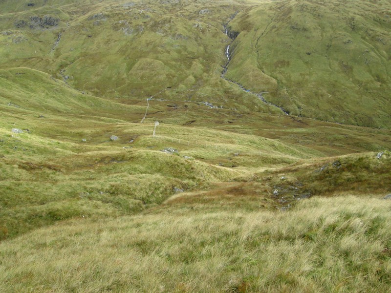
... Beinn Sheasgarnaich towers above across the waters of the Allt Bad a' Mhaim. By now I'd decided that I wasn't going to attempt to climb this hill as I was feeling rather lethargic and was running about half an hour later than expected at this point..
Several accounts I have read talk about climbing through the crags that surround Sron nan Euan but gave no precise details of where to start the climb. So in this account I'll give the grid references for a way up the hill. I started at NN40994 35412 on the north side of this stream (right hand side going uphill). Going up the left hand side leads into the crags.
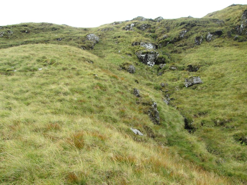
There is no path but aim for NN40966 35410, followed by NN40930 35350..
...and 40928 35319, 40835 35235 and 40763 35191. These will get you up on the ridge avoding any crags
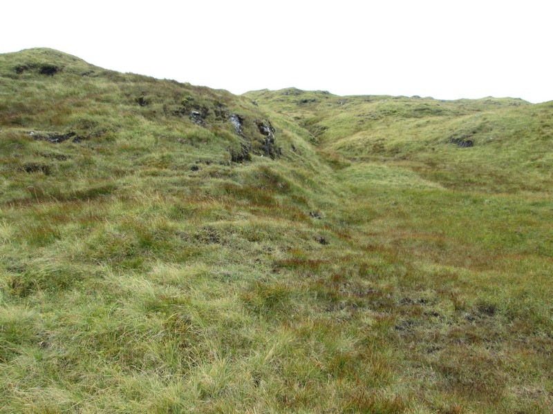
Looking back downhill. There are intermittent stretches where a path is beginning to develop.
The ridge path is clear from NN40667 35124
A panorama of Beinn Sheasgarnaich and Glen Lochay.
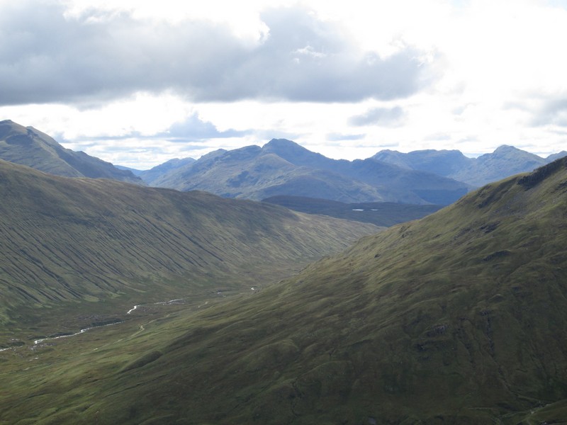
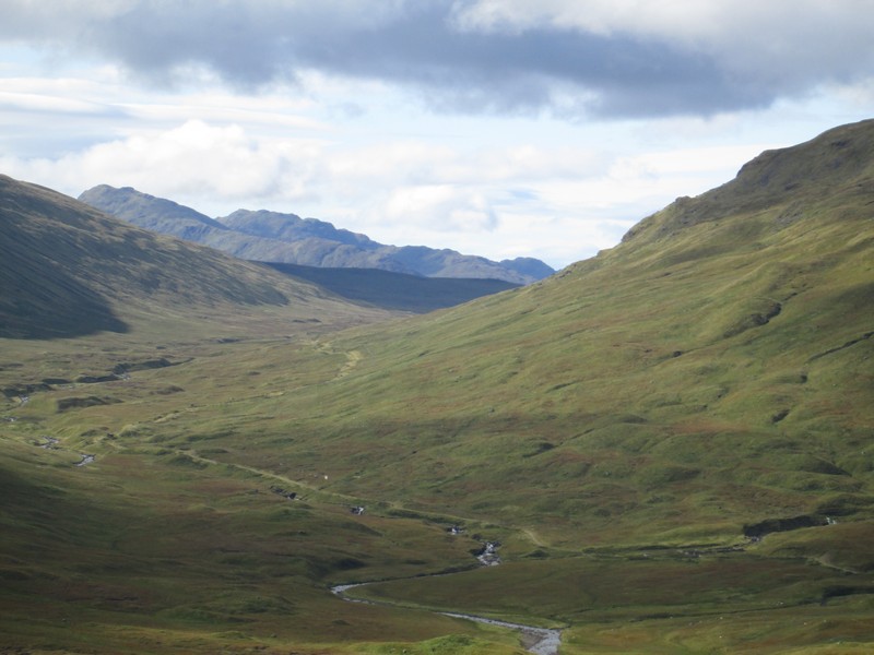
The views are beginning to open out. This is looking south with Ben More and Stob Binnein on the left, Ben Tulaichean and Cruach Ardrain in the centre and Beinn a'Chroin and An Caisteal towards the right.
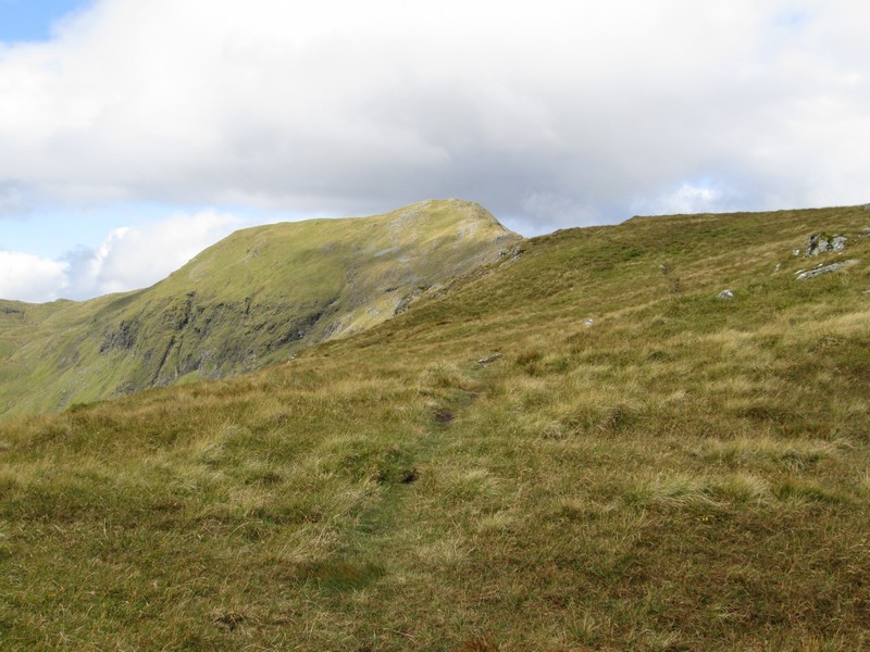
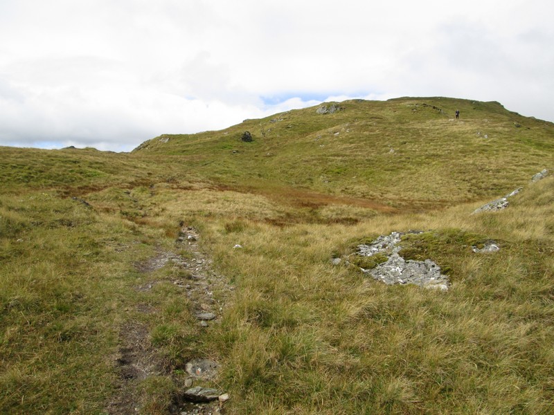
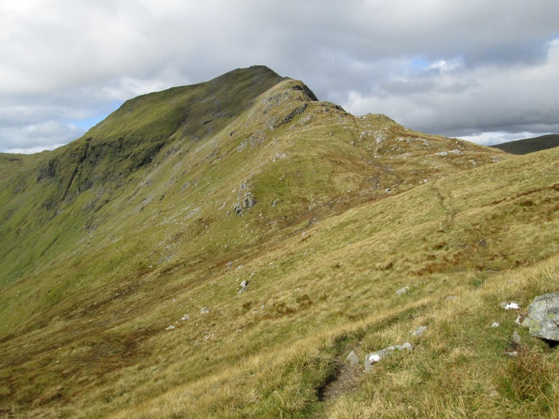
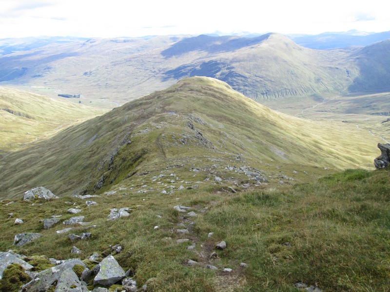
The summit of Creag Mhor comes into view…
...but the track skirts round the summit of Sron nan Eun
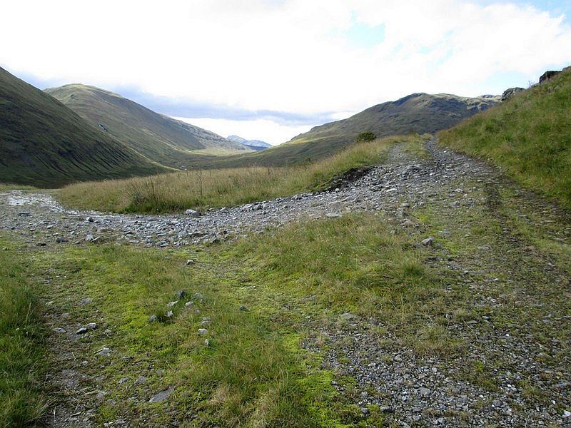
The track heads for the slight dip at Bealach Slaidearan at 836m…
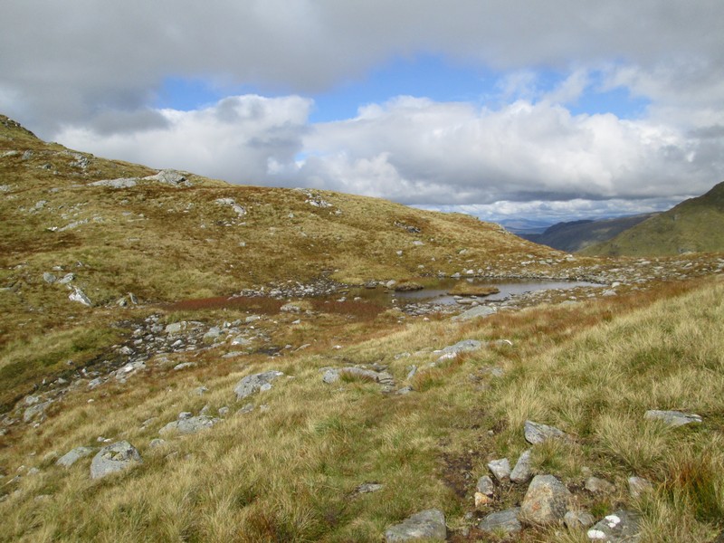
...where there a couple of small pools.
The climb proper to Creag Mhor now starts.
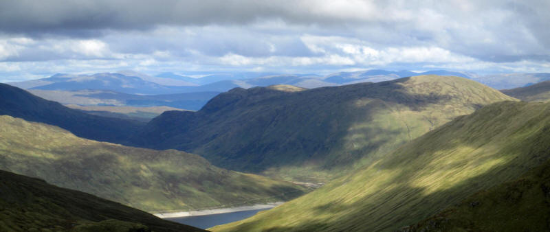
Over to the right there's the first view of Loch Lyon with Meall Buidhe on the right.
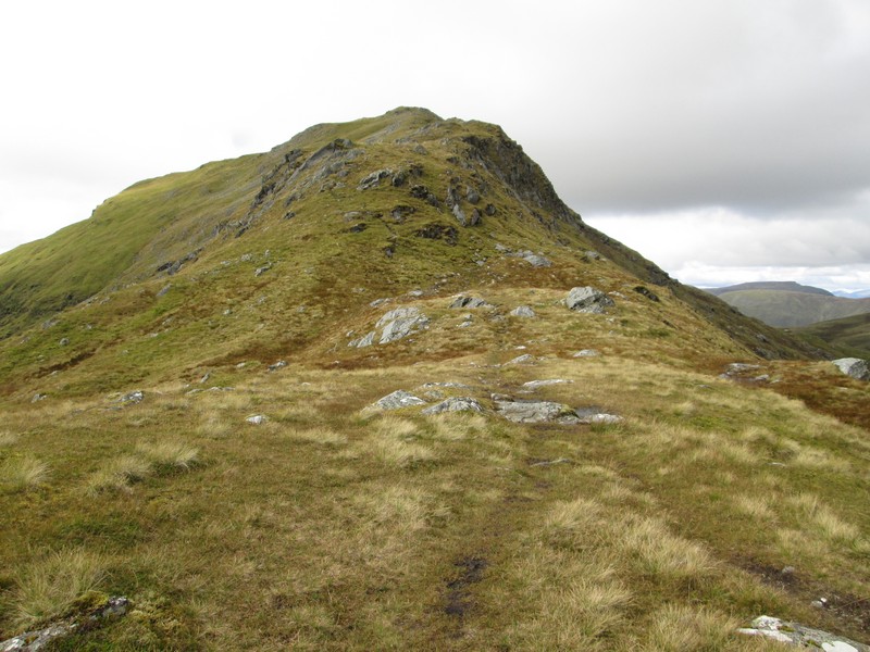
The path climbs the narrowing ridge towards the summit.
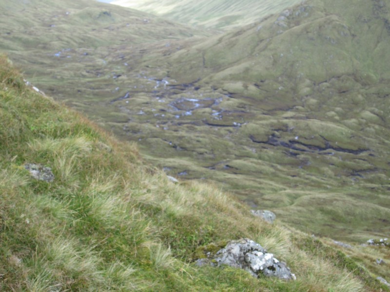
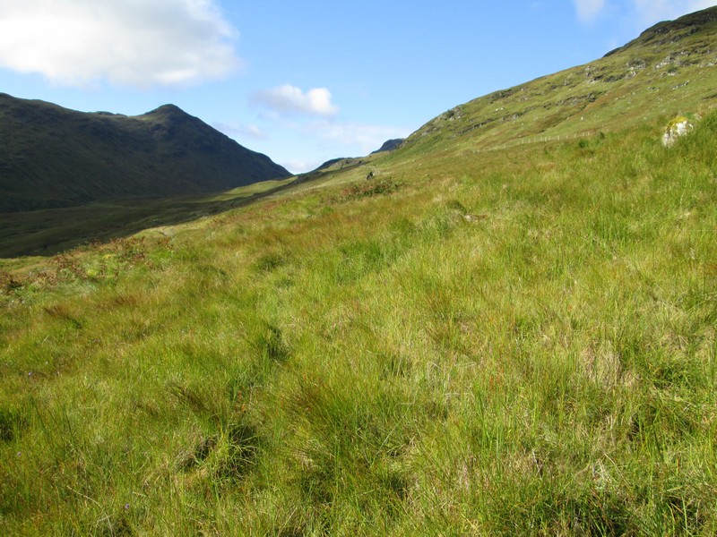
I also get a good view of the peat hags that have to be crossed to get to Beinn Sheasgarnaich. I'm definitely not going there today and will enjoy the walk up just one Munro rather than going into “bagging” mode.
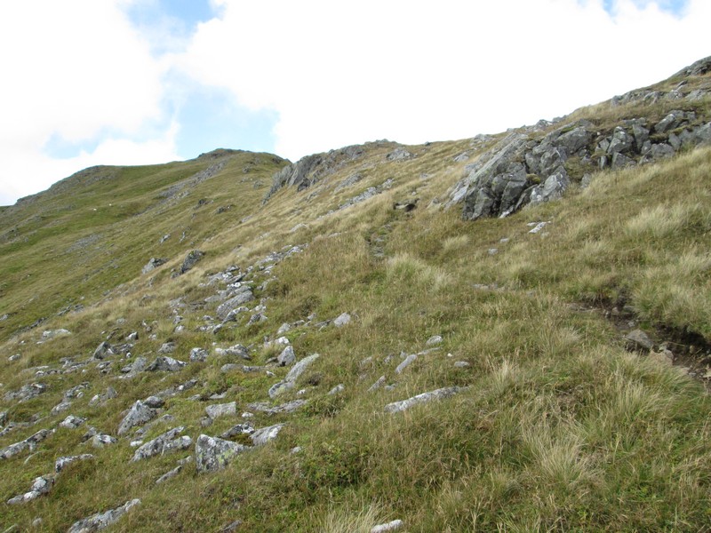
The track skirts round the south western side of the ridge as it climbs quite
gently.
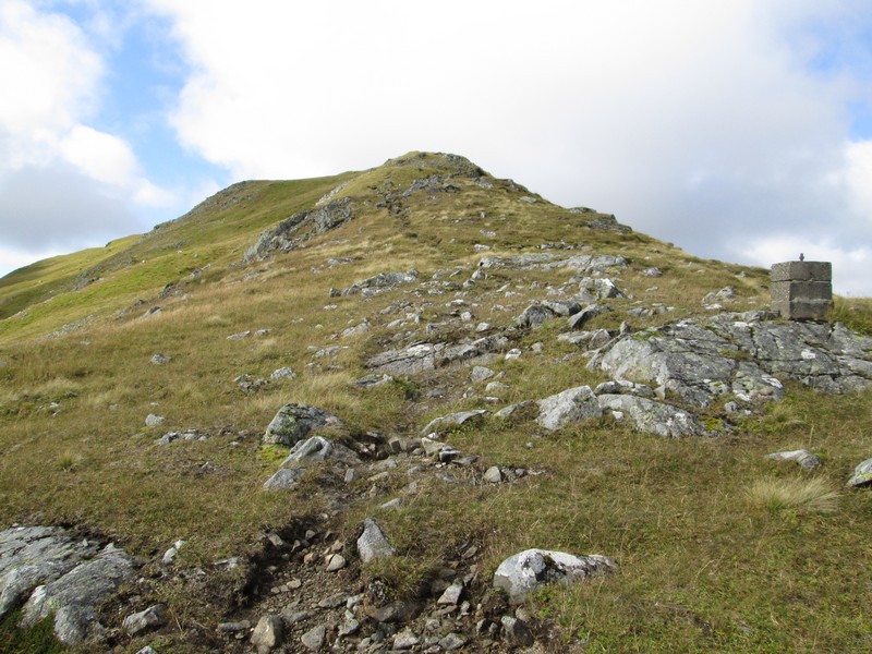
There's a curious concrete block visible just to the left of the path. Is this related in some way to the Breadalbane HEP system?
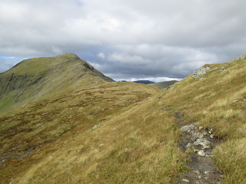
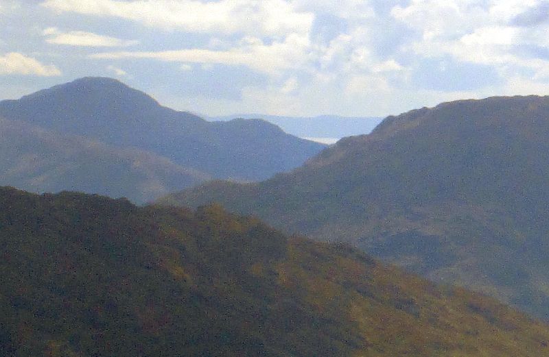
A view looking back down the ridge towards Sron nan Eun with Meall Glas across Glen Lochay.
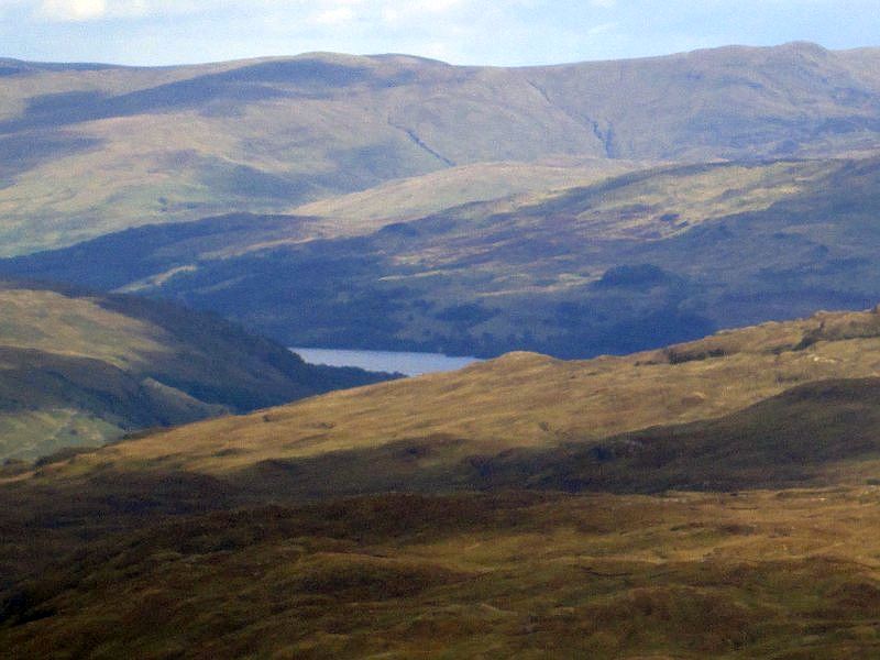
A zoomed image shows Loch Tay near Killin.
The atmosphere was, for once, extraordinarily clear and a check on the summit panorama for Creag Mhor on the Walk Highlands website confirms that this is zoomed photo is of Cnoc na Gabard on Arran near Whiting Bay with the waters of the Firth of Clyde. (73.5 miles away to the south-west). The hill to the left of the Firth is Beinn a Mhanaich (712m) near Garelochhead.
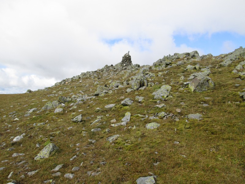
The summit cairn of Creag Mhor…
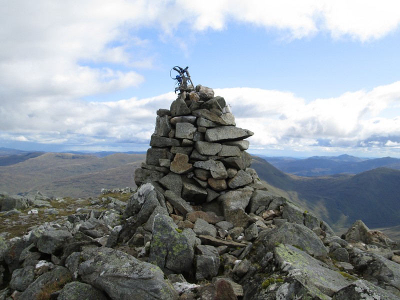
....curiously has some crampons and ski poles trapped in it!
The links below will show you two panoramas that give an almost complete view of the hills visible from the summit of Creag Mhor. Some summits have been marked.
Click on the link to to see the photograph and then click on it to see the full sized image.
http://www.steverabone.com/MunroWalker/pano1%20coppped%20resized%20labels.jpghttp://www.steverabone.com/MunroWalker/pano2%20cropped%20labels.jpg(note part of the second panorama is not as sharp as the rest due to camera focus problems)
The walk from Kenknock to the summit had taken about five hours considerably longer than my expected time of 3h 45 minutes. Some of this, probably about 30 minutes, had a been caused by the need to double back by the deer fence and also making a false start to the climb on to the ridge. I'd also had several breaks for drinks and food but some of the extra time was clearly down to me not feeling quite as fit as usual with more than a few stops to pause for breath. The return walk took exactly four hours.
