free to be able to rate and comment on reports (as well as access 1:25000 mapping).
What? Beinn Mhor(Pairc, Lewis)
When? Tuesday 12th September 2017
Who? Sgurr and R
Weather? Sunshine and clouds with a light wind and showers
Distance?11.1
Ascent?2650 feet
Map?13
I normally post elsewhere, but there seems to be no trip report for this hill on Walkhighlands, so decided to put it here as well. We had arranged to stay three days on Lewis hoping that at least one day would be calm enough for us to cross Loch Seaforth to climb Beinn Mhor. We had arranged with Sean from the
Scalabsdale Centre that he would pick us up and collect us. We had forgotten that nothing happens on Lewis on a Sunday, which left Monday or Tuesday. The wind looked to be too high on Monday, but after some re-jigging of time-tables Sean could offer to take us over at 9 a.m. and collect us at 7, which even our slow selves should manage. If we got back early we could text and see if he had finished collecting customers who had come for
The Mountain Festival We had used him before on previous years to take us across for Cipeagil Beag and Caiteshal. We are so decrepid now that there is no chance of doing more than one hill at a time in rough country.
It had poured most of Sunday, and the same amount of showers were forecast for today as Monday, which hadn’t been bad.
We arrived at the jetty where the fish farm has just installed a new access for their heavy vehicles.
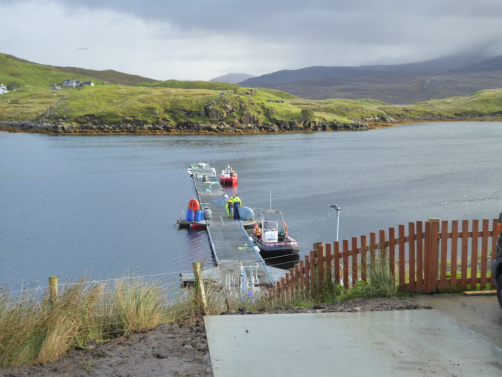
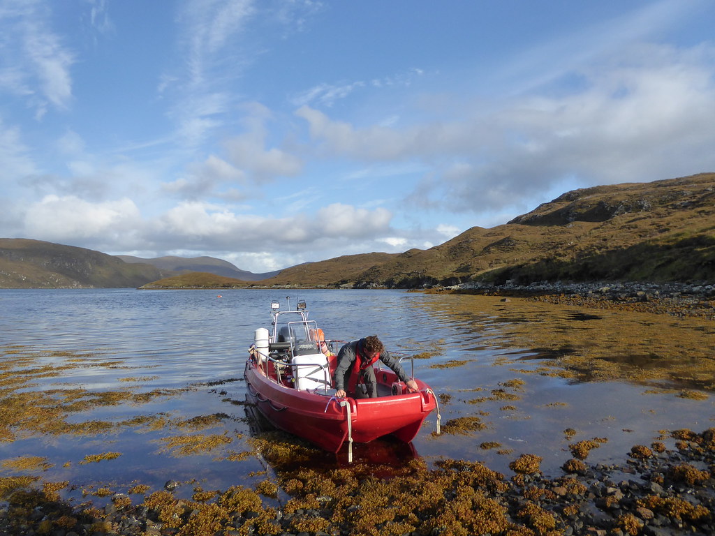
We sped across Loch Seaforth

Below, last link with civilisation departing
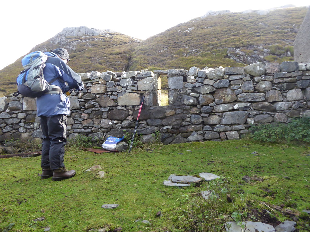
We had brought umbrellas in case we needed to sit and wait in heavy showers at the end of the day, and extra sandwiches which we left in the ruined bothy
The path leads up beside the small hill
Then it goes up the burn
It was still very soggy from Sunday’s downpour.

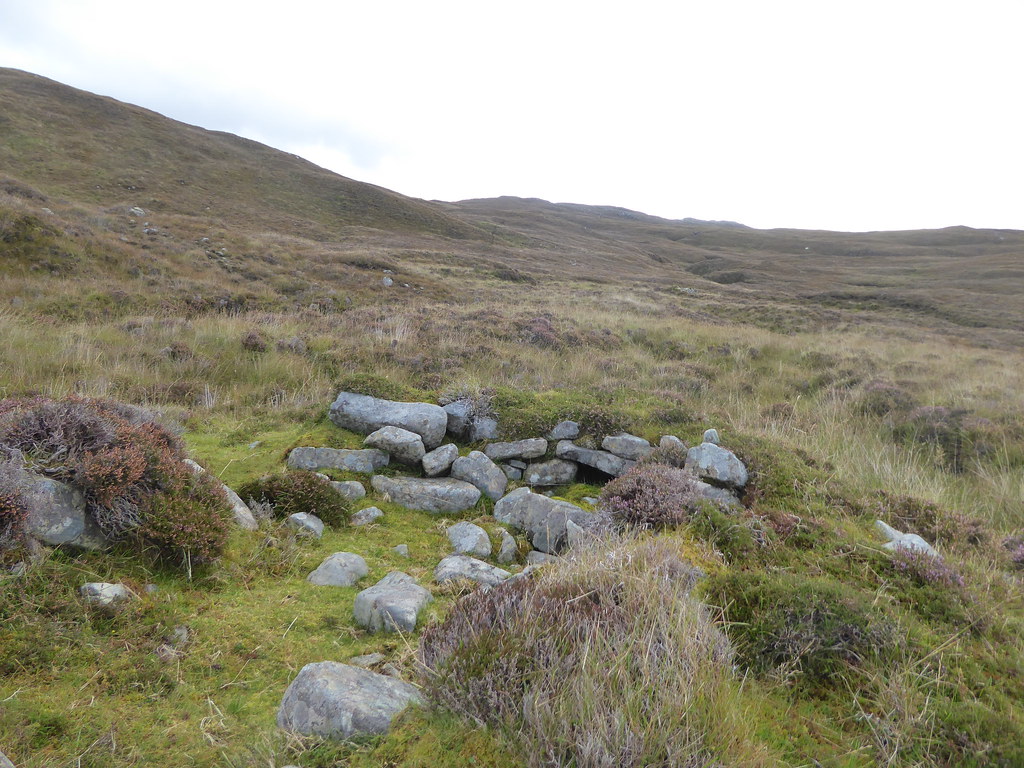
There were about three of these ruined shieling buildings
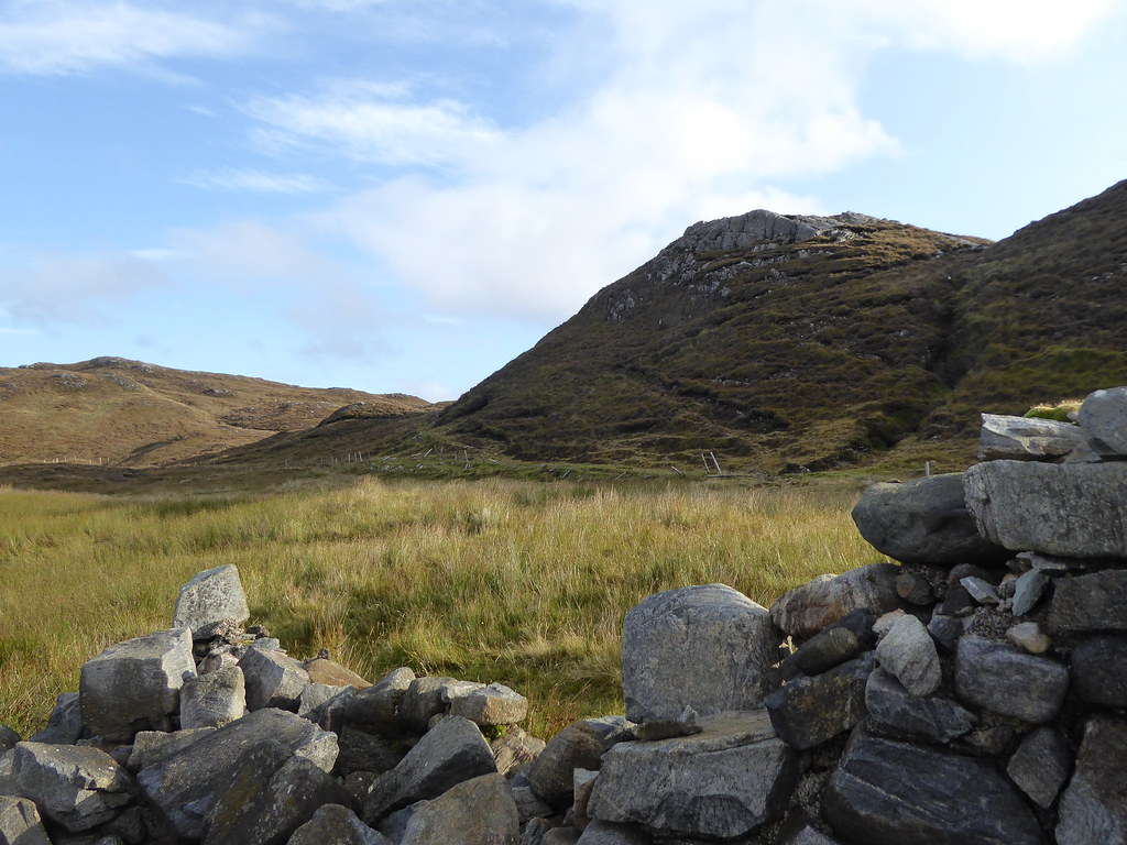
Looking back towards Clisham again
We veered a bit too far to the south to try to find higher ground on the slopes of Cipeagil Beag, R looking across
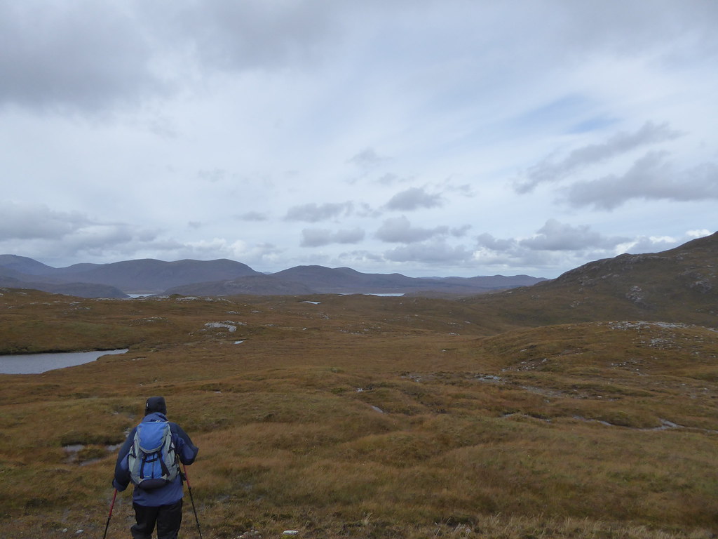
We then veered towards the base of Carn Ban across soggy long grass.
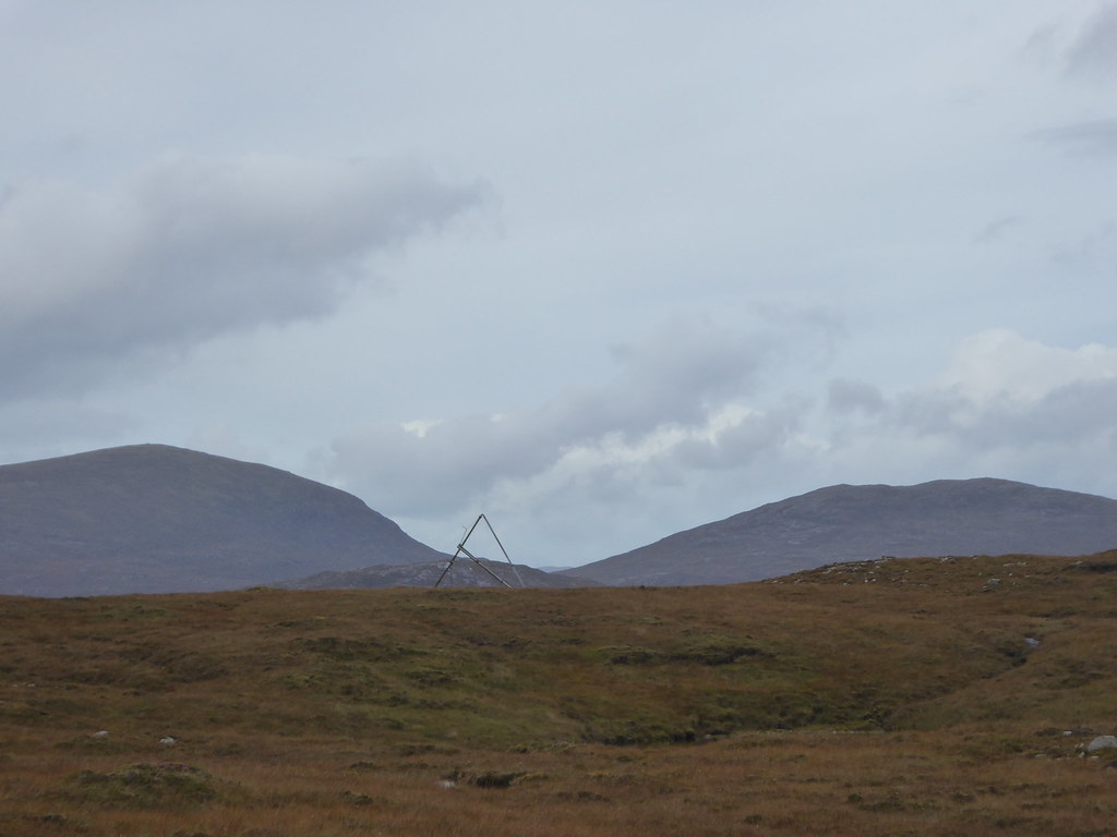
Up here we saw a metallic triangle which we could only assume had been installed as a land mark.
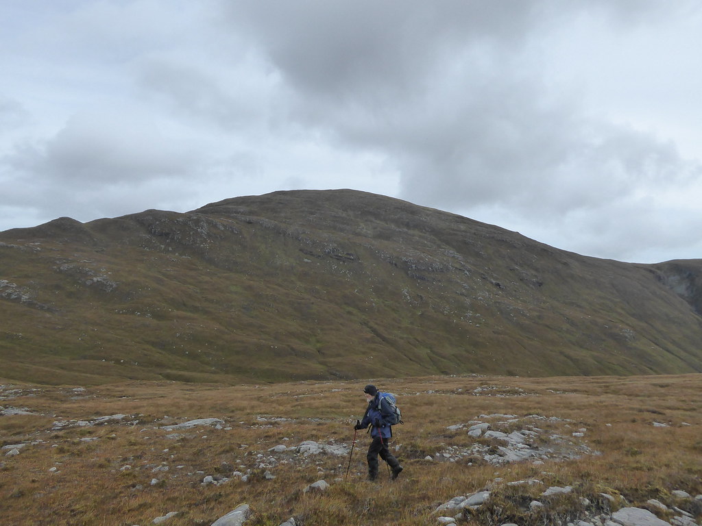
We set off up Carn Ban and almost immediately ran into small cliffs
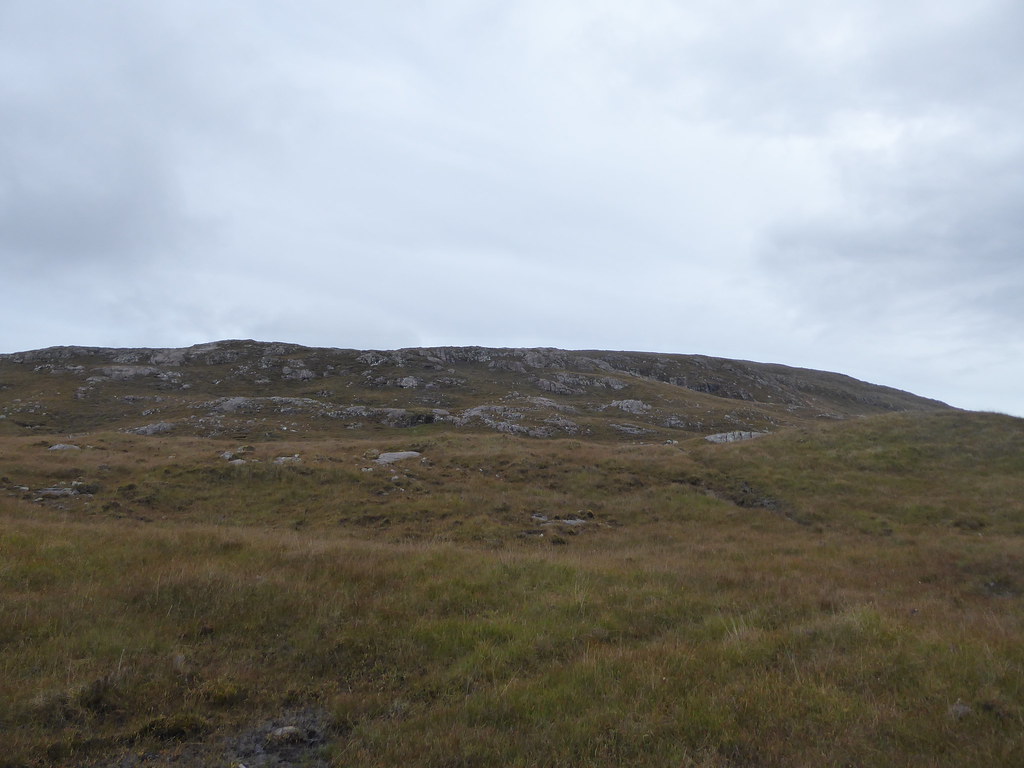
so contoured round above Loch Claidh until we could see an easier way up
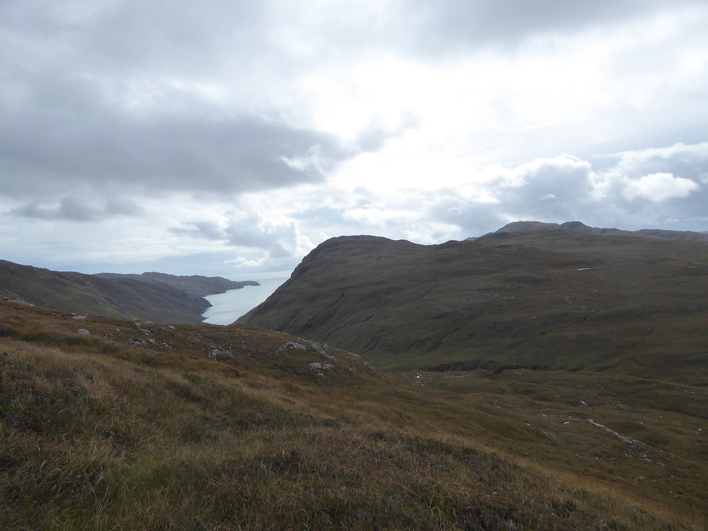
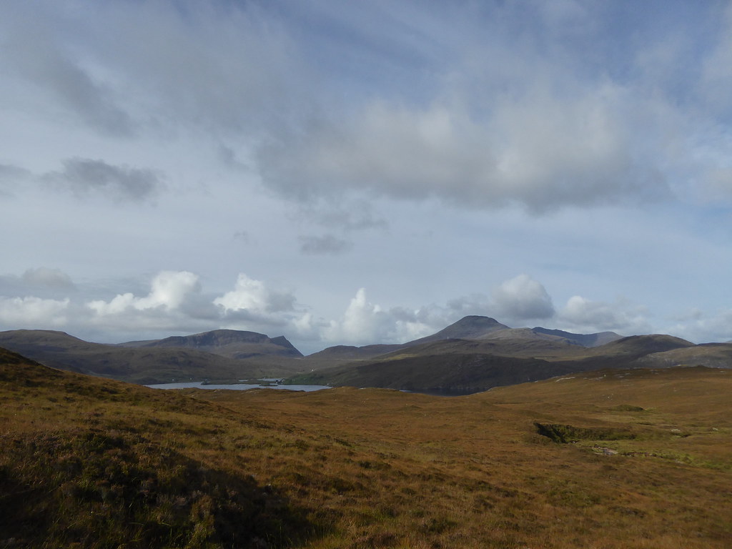
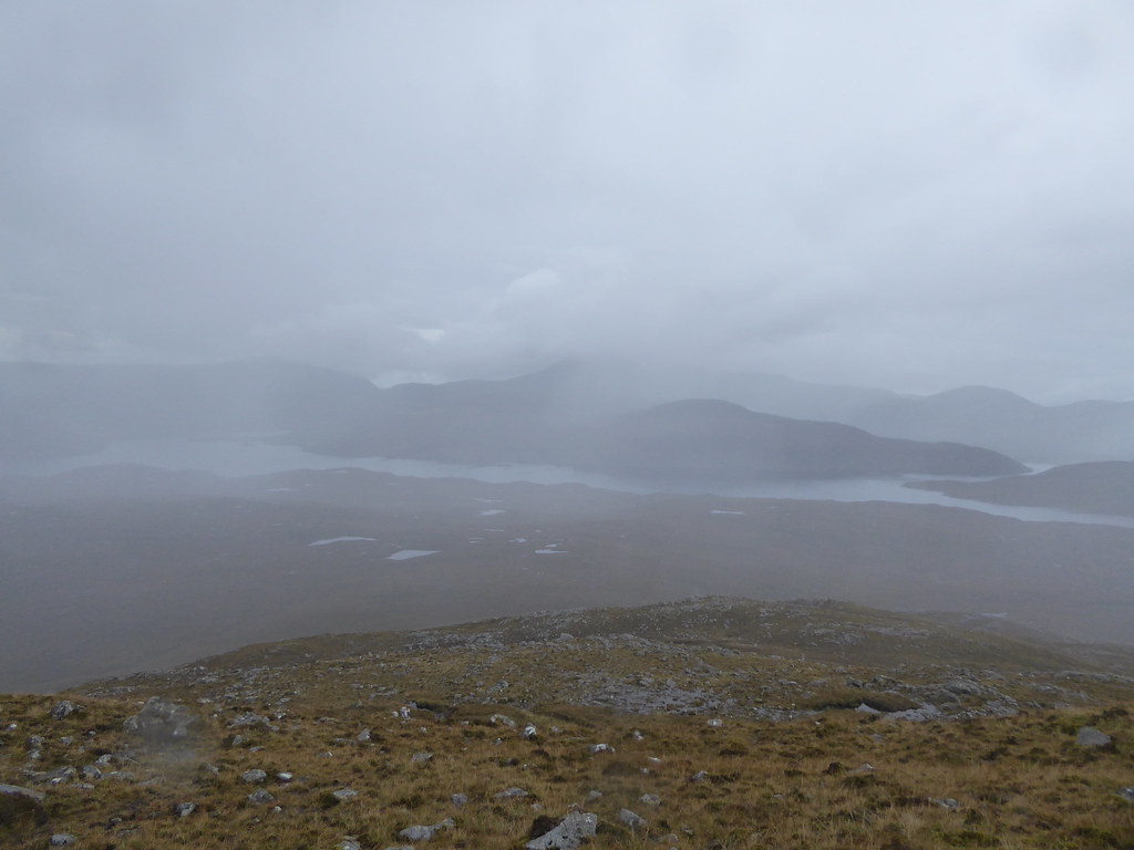
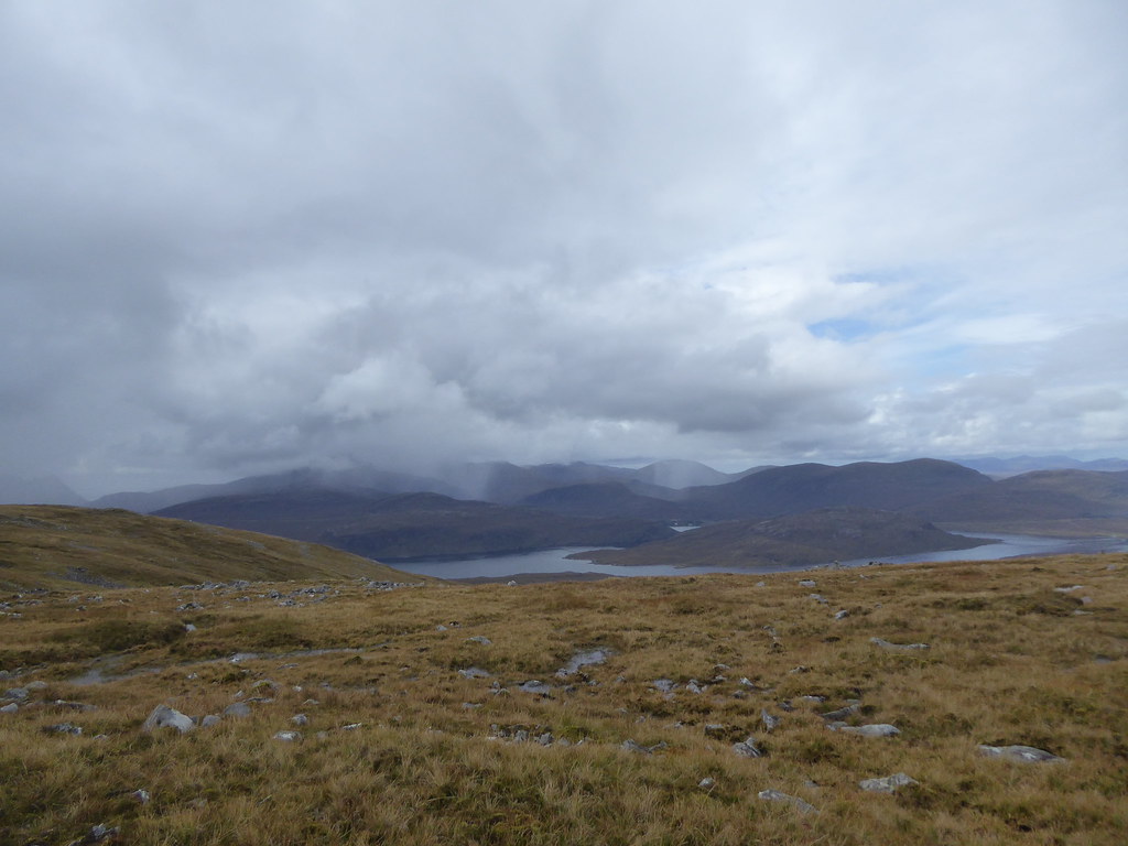
Behind us we could see Clisham and Seaforth Island
As we got higher it started to spit with rain, and we wondered if the rain we could see on Clisham would transfer across the Loch, however, it stayed put.
We had chosen a fairly steep route up, and it was slow going
As we got towards the summit of Carn Ban, we found a cairn with a whole lot of tyres beside it.

Sean asked if it was still there later, but had no idea why they were there, or who had done it. My guess was that it was planned for a beacon for the Queen’s jubilee, and it had been shrouded in cloud, so the people who were supposed to light it just couldn’t be bothered.
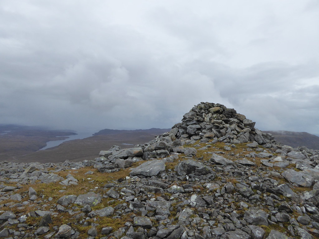
Another cairn on the top of Carn Ban.
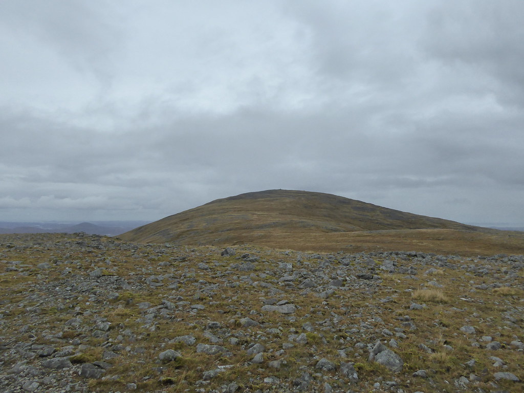
It was nearly a mile from here to the summit of Beinn Mhor, but at least it was easier going. There was a very slight track between the two, so these hills are not so unfrequented as one might think, since it was not typical deer direction.
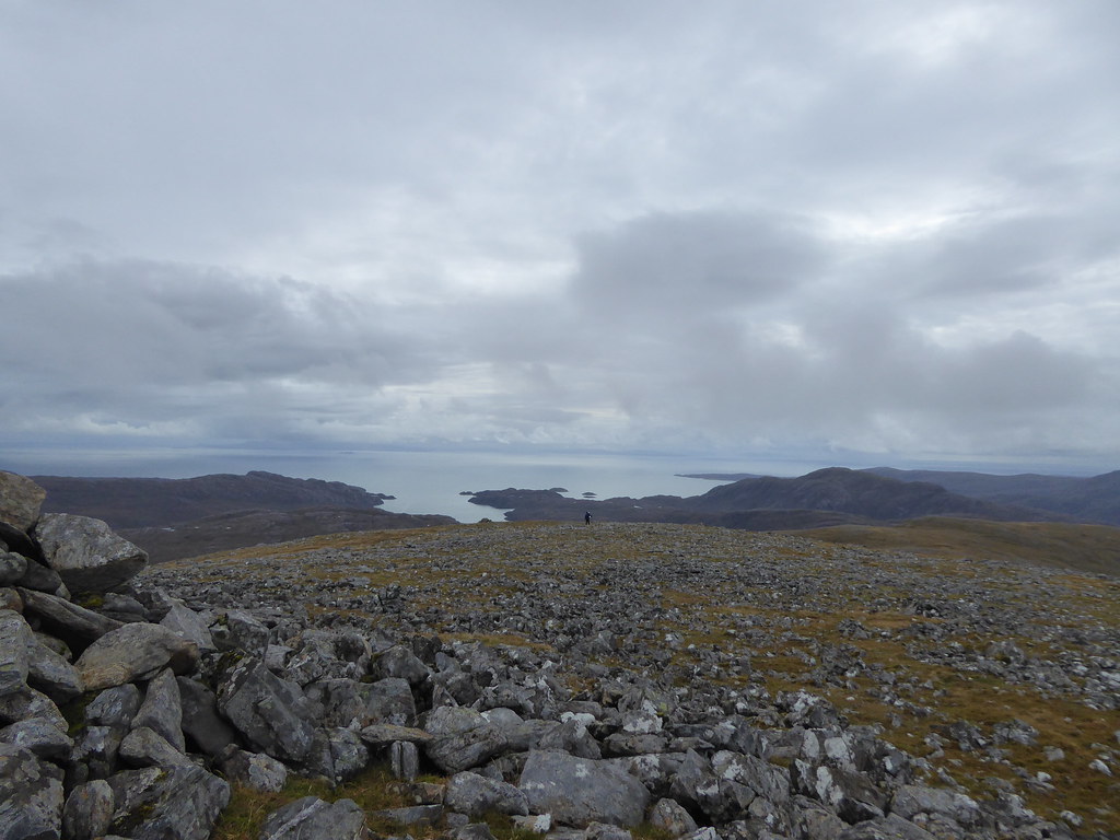
Summit
Pano

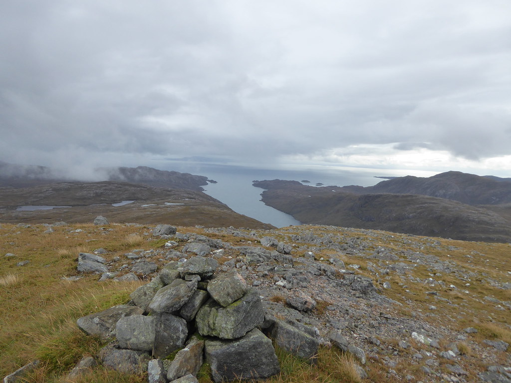
Looking back to Seaforth Island and Clisham
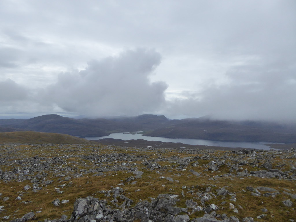
Looking back
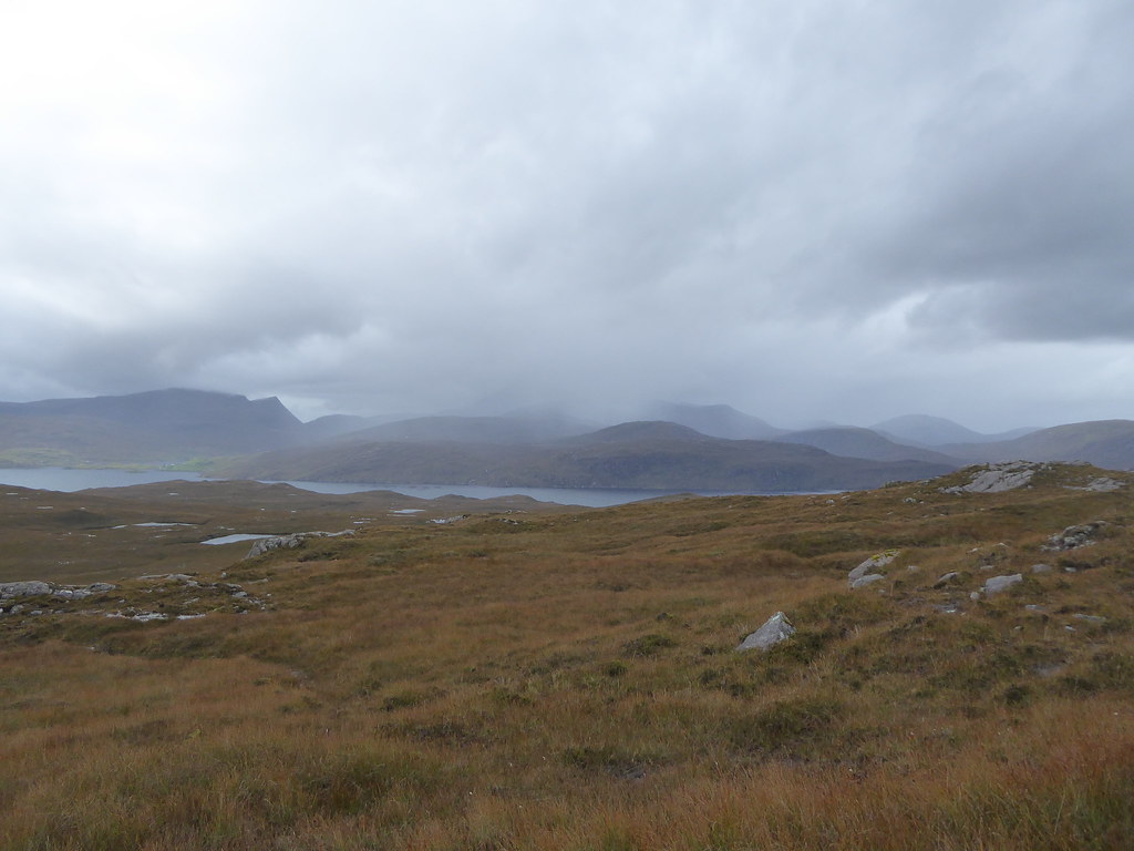
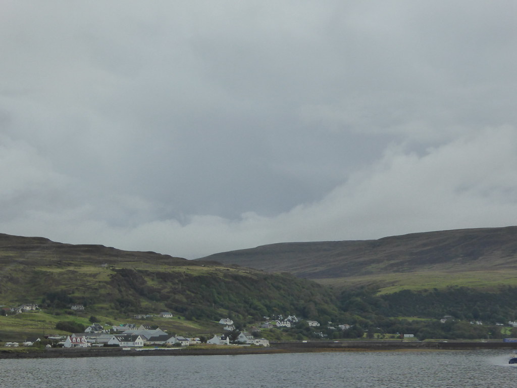
We could see quite a substantial track coming up to the river and then stop presumably where there is a bridge marked on the map. Gormol and Muiathabhal (still to do) looked possible from the end of the road at Eishken, but Uisinis looks a really long walk. We were wondering if the island baggers we went with last year still have to do any islands off the end and would join us in a boat from Fish & Trips… or possibly the fish farm off Lemreway.
However, we had no time to waste. It had taken us 4.25 hours to get here, and if it took us the same descending (taking R’s dodgy knee into account) we would be pushing it. I wouldn’t let him loll around eating cereal bars.
R suggested that I swing around further to the north on our descent to try to find less steep ground. This was very necessary, as even so, the sodden turf kept sliding away from under our feet, and both of us were hitting the ground with regularity.
I began to worry that I couldn’t see round the corner to the loch, or to Cipeagil Beag. Eventually we spotted the huge triangle landmark and realised we were on course.
It was VERY wet underfoot

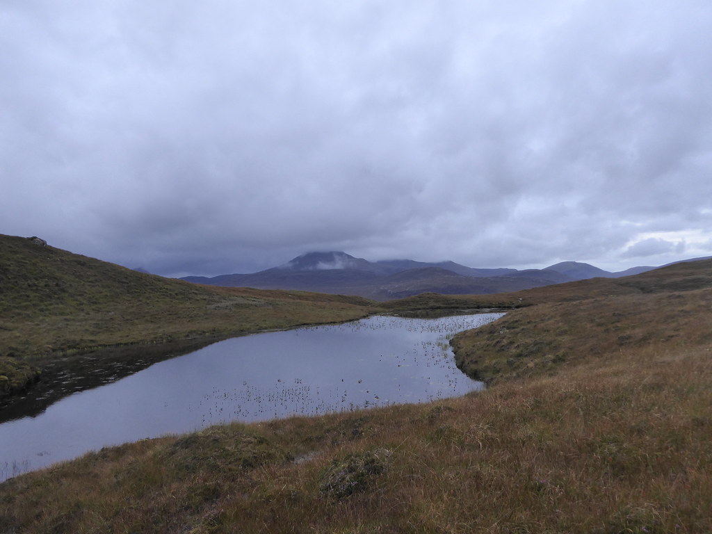
This time we headed past the three lochans to the head of the burn.
We soon realised that we were on a tributary where we had seen a waterfall pouring over steep ground, so kept to our left and eventually landed up following the burn proper.
We crossed near the shielings and about ten minutes away from the ruin at not quite 6 p.m. texted Sean, and found that he could come and collect us in 25 mins.
We were back late and only managed to eat some left over veg and blocks of cheese. We still had to pack up the car for a 5.30 drive to the Tarbert ferry.
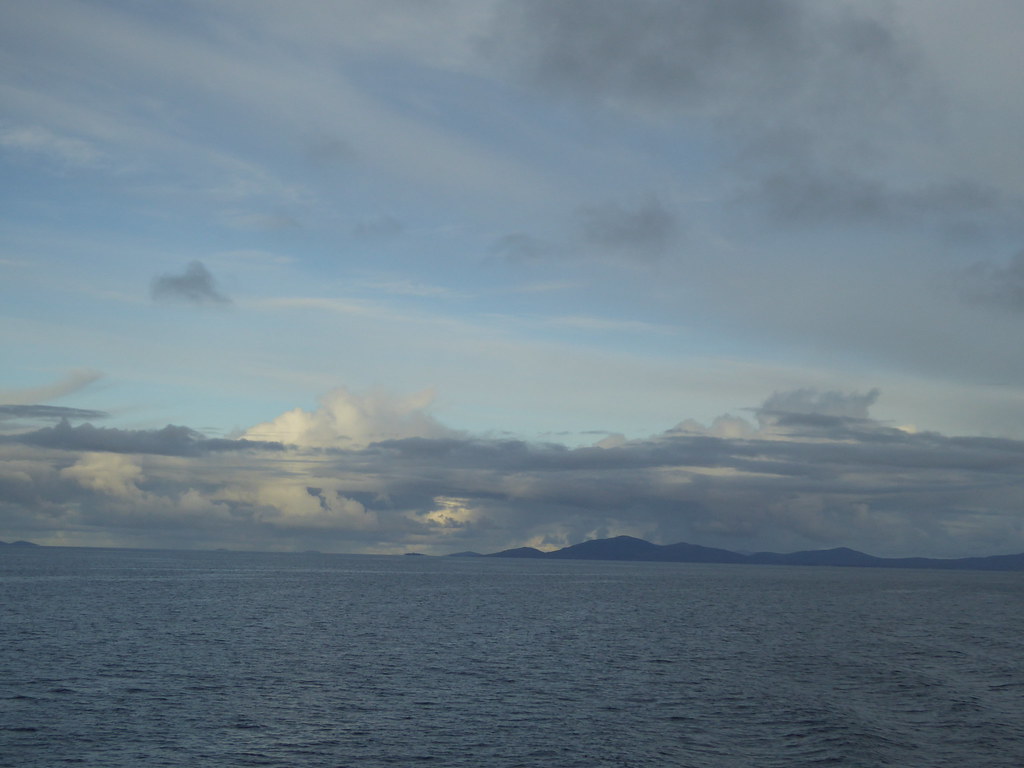
All the way home I took Weather Watcher pictures, none of which fitted the forecasters’ agenda.(I have signed up as a BBC Weather Watcher as Squiz, my moniker elsewhere). However they had used three from the hotel window, so I can't complain.

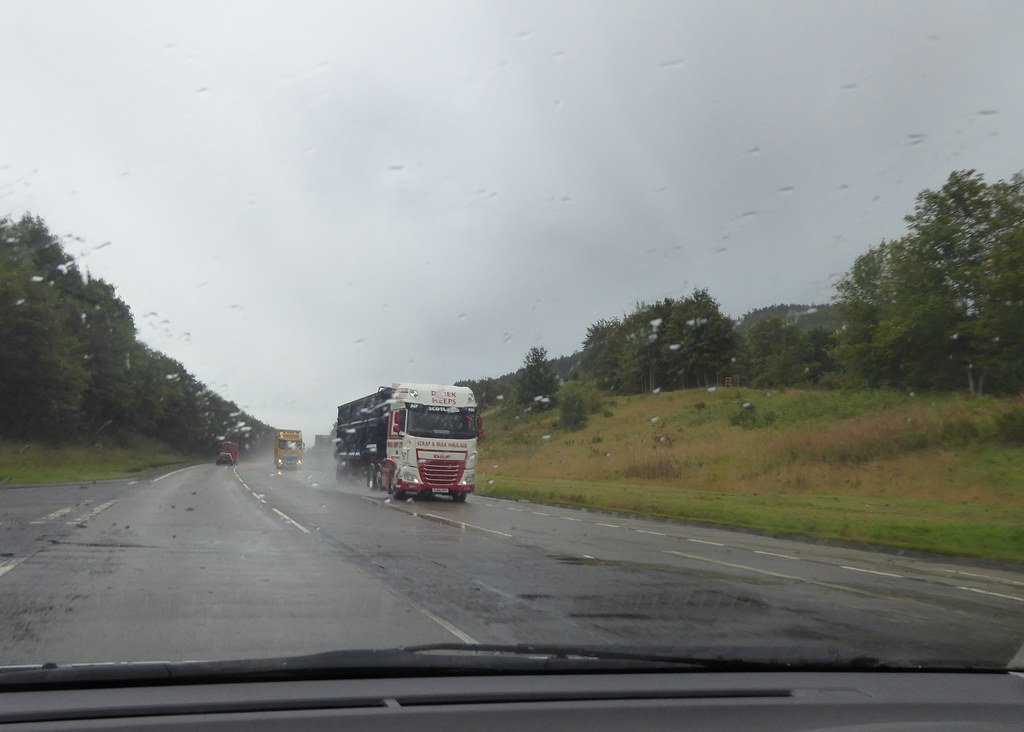
Between Shiel Bridge and Invergarry it took us nearly 3 hours as we were following three giant trucks each carrying the blade for a wind turbine
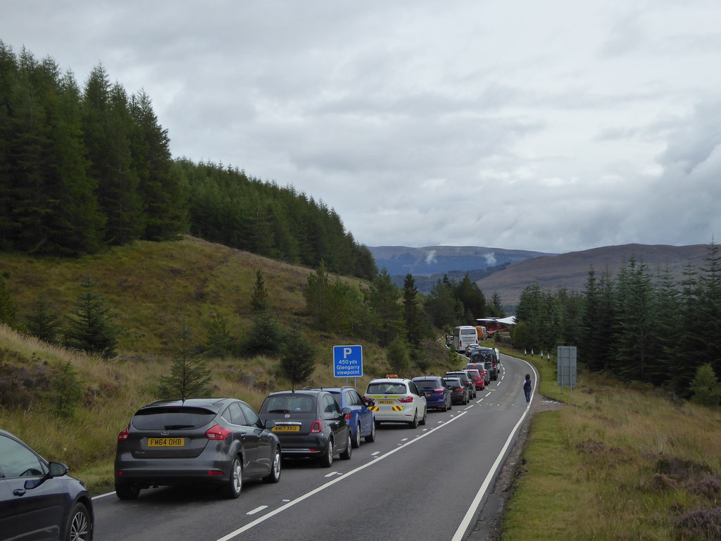
The police would stop the traffic ahead and we would wait while they marshalled it all into laybys. Then we would proceed and the same thing would happen all over again. At least we could see what was happening, but the folk at the back must have found the whole stop start completely baffling. After our effort of the previous day, whenever we stopped, R would fall asleep at the wheel (he had been dancing around with cramp in the middle of the night as well) and I would have to poke him awake to get going again. Given that each turbine needs four sails, and that there are bound to be more than one in a windfarm. I imagine the same procedure may well be repeated later on.
Total Marilyns for me 1540, and for R 1546 (He leads me on the Welsh ones).
